| Link: | Wheeler Gorge Nature Trail |
| Date: | 07-13-2026 |
| Surveyor Name: | Los Padres Forest Association |
| Trail description: | LPFA has brushed and restored tread on most of this nice little loop trail. It's in great shape, enjoy! |
| Mode of transport: | Hike |
| Trail condition: | Good shape and easy to follow |

Trail Submissions
Submitted Trail Reports
A list of all the trail reports or surveys submitted by users. Please add a report if you visit the Los Padres.
Please click the survey to expand and view the survey.
-
 Wheeler Gorge Nature Trail Survey - 07-13-2026 - by Los Padres Forest Association
 - Little Mutau Trail Survey - 06-13-2026 - by Anonymous Surveyor
Link: Little Mutau Trail Date: 06-13-2026 Surveyor Name: Anonymous Surveyor Trail description: Trail was evident but loose and bushes encroaching. Only made it . 5 miles in with my dog before calling it as the thought of 3+ more miles of that condition seemed impossible if it was so bad that early on. Mode of transport: Hike Trail condition: Needs some work - Piedra Blanca Trail Survey - 06-08-2026 - by Los Padres Forest Association
Link: Piedra Blanca Trail Date: 06-08-2026 Surveyor Name: Los Padres Forest Association Trail description: LPFA completed a 10-day Volunteer Working Vacation to work the trail from Pine Mountain Lodge Camp toward Haddock Camp. We completed 3.3 miles of work, including brushing, restoring sketchy tread and the slide between 3 Mile and Haddock Camps, defining the route through creek crossings, and cutting out 13 downed logs blocking the trail. It is still brushy with a few downed trees the remaining .7 miles to Haddock Camp, but easy to follow. Looking good out there! Mode of transport: Hike Trail condition: Needs some work Images: 


- Red Reef Trail Survey - 06-06-2026 - by Andrew
Link: Red Reef Trail Date: 06-06-2026 Surveyor Name: Andrew Trail description: Red Reef trail from Topa Topa to Sespe River. The tread is in good shape except for 2-3 wash-outs, so the trail is easy to follow. However, it frequently requires pushing through thick foliage. A good brushing would go a long way. Found Ladybug Camp by following a side trail that looks more like a washout, campsite is in great shape with several clear tent sites and running water. Mode of transport: Hike Trail condition: Needs some work - Potrero John Trail Survey - 06-01-2026 - by Los Padres Forest Association
Link: Potrero John Trail Date: 06-01-2026 Surveyor Name: Los Padres Forest Association Trail description: LPFA spent several days this spring brushing the trail from the trailhead to Potrero John Camp. The trail is in great shape! Mode of transport: Hike Trail condition: Good shape and easy to follow - San Ysidro Trail Survey - 05-29-2026 - by Los Padres Forest Association
Link: San Ysidro Trail Date: 05-29-2026 Surveyor Name: Los Padres Forest Association Trail description: MTF and the LPFA Trail Crew brushed the upper section of the trail. It's in great shape! Mode of transport: Hike Trail condition: Good shape and easy to follow - Agua Blanca Trail Survey - 05-28-2026 - by Holden A. Branch
Link: Agua Blanca Trail Date: 05-28-2026 Surveyor Name: Holden A. Branch Trail description: "Camp Agua Blanca" (end of road, start of trail) to Log Cabin is in good condition, it's a beautiful walk. However, you really gotta look at the map all the time because the trail goes up on the ridges of the river bank. it's marked, however it's easy to get off if you're rockhopping, and when you go astray it's not fun. Pothole trailhead up the road is not a fun walk. Be prepared to take shoes off for that section. Mode of transport: Hike Trail condition: Good shape and easy to follow - Sespe River Trail Survey - 05-27-2026 - by Daniel J. Hall
Link: Sespe River Trail Date: 05-27-2026 Surveyor Name: Daniel J. Hall Trail description: Nothing new and worthwhile to add beyond the preceding two surveys, except that the Forest Service recently installed a vending machine at the Piedra Blanca Trailhead from which you can purchase an Adventure Pass. No cash accepted; only credit cards.Photo hopefully above, or at https://tinyurl.com/227vctt5Mode of transport: Hike Trail condition: Good shape and easy to follow Images: 
- Pine Mountain Trail Survey - 05-22-2026 - by Anonymous Surveyor
Link: Pine Mountain Trail Date: 05-22-2026 Surveyor Name: Anonymous Surveyor Trail description: I began from 29S18 (labelled on some maps as an extension of Pine Mountain Rd and some maps as Queen Bee Rd). I drove up 29S18 from Pozo Rd in a 2wd vehicle easily, and probably could have continued driving up the first couple miles of Pine Mtn Trail to Castle Crags Trail. I split off at Castle Crags Trail, but ran into 2 dirt bikers heading up the other way toward Las Chiches. No water on the route, expect temperatures to be similar or higher than the forecast in Pozo. There is a register for the trail at (35.32599, -120.23948) that is sorely in need of a new notebook. If you're into geology, you'll love the views from this trail - it looks like Pinnacles NP from afar but up close you can see all the details in the sedimentary conglomerates and the wind erosion has created some interesting layering effects. See my review for Castle Crags Trail as well. Mode of transport: Array Trail condition: Good shape and easy to follow Images: 


- Castle Crags Trail Survey - 05-22-2026 - by Anonymous Surveyor
Link: Castle Crags Trail Date: 05-22-2026 Surveyor Name: Anonymous Surveyor Trail description: I began from 29S18 (labelled on some maps as an extension of Pine Mountain Rd and some maps as Queen Bee Rd). I drove up 29S18 from Pozo Rd in a 2wd vehicle easily, and probably could have continued driving up the first couple miles of Pine Mtn Trail to Castle Crags Trail. I split off at Castle Crags Trail, there is a register nearby at (35.32599, -120.23948) that is sorely in need of a new notebook. No water on the route, expect temperatures to be similar or higher than the forecast in Pozo. I followed the trail out to (35.30220, -120.22200) and then tried bushwhacking down to the castle crags formation. I only made it about a half mile before cutting my losses, climbing a tree, and enjoying the view. No ticks, no poison oak, but the flies are evil and will bite you through your clothing. Mode of transport: Hike Trail condition: Needs some work Condition details: Easy to follow for the most part, but nonexistent to hike out to the Castle Crags formation itself Images: 

castle crags from (35.30205, -120.21740)
- Johnston Ridge Trail Survey - 05-18-2026 - by Anonymous Surveyor
Link: Johnston Ridge Trail Date: 05-18-2026 Surveyor Name: Anonymous Surveyor Trail description: Great hike into Sespe Hot Springs. Stashed 1 gal water 3 mi in, and 1 gal 5 mi in, for the exit grinder hike back up Johnston Ridge Trail from the Hot Springs. Mode of transport: Hike Trail condition: Good shape and easy to follow - Spruce Creek Trail Survey - 05-17-2026 - by Turbo
Link: Spruce Creek Trail Date: 05-17-2026 Surveyor Name: Turbo Trail description: Camp is good condition. Lots of poison oak surrounding the area. Bathroom present but not many using it as there is tp in the bushes Mode of transport: Hike Trail condition: Good shape and easy to follow - Blue Canyon Trail Survey - 05-16-2026 - by Carolyn
Link: Blue Canyon Trail Date: 05-16-2026 Surveyor Name: Carolyn Trail description: Mode of transport: Hike Trail condition: Needs some work Condition details: Very overgrown. Needs some maintenance. Section between Forbush and Cottam Camps is especially overgrown. Wish I had brought my gators. Not sure I will ever get the tag-along seeds out of my socks. - Romero Trail North Survey - 05-16-2026 - by Carolyn
Link: Romero Trail North Date: 05-16-2026 Surveyor Name: Carolyn Trail description: Mode of transport: Hike Trail condition: Needs some work Condition details: Very overgrown. Lots of steep and slippery washes in the trail. - Cruickshank Trail Survey - 05-16-2026 - by Turbo
Link: Cruickshank Trail Date: 05-16-2026 Surveyor Name: Turbo Trail description: Very shady. Good condition. Warm and less shade closer to lions den. Plenty of water spots to fill up Mode of transport: Hike Trail condition: Good shape and easy to follow - Salmon Creek Trail Survey - 05-16-2026 - by Turbo
Link: Salmon Creek Trail Date: 05-16-2026 Surveyor Name: Turbo Trail description: Trail is in good condition. Easy to follow. Trail is quite shady but can be warm in the sun. A few creeks to cross and fill up besides the water at the camps. The slide areas are stabile and easy to walk across. Mode of transport: Hike Trail condition: Needs some work Condition details: It's a little brushy from lion's den to estrella. That is really the only section on the whole loop that could use some work. - Carrizo Trail Survey - 05-15-2026 - by Josh J.
Link: Carrizo Trail Date: 05-15-2026 Surveyor Name: Josh J. Trail description: Overnight trip along Carrizo Trail to NCRT to Cone Peak. Trail from start to camp was in great shape and easy to follow, with the exception of the first half mile or so which had some fox tail overgrowth and a good few ticks. Trail from camp to first downhill section, 3.5- 4 miles in, was also in great shape. Clear cut and good tread. It was after this first downhill section the conditions began to deteriorate. Some overgrowth and a few ticks, unsteady tread until the sugar pine grove. Sugar pine grove was mostly alright, a couple overgrown sections but very managable. After the sugar pine grove, the trail condition turned very poor. There was extreme overgrowth with ceanothus, oak, and manzanita head high. The trail was difficult to follow, with some sections completely stumping me on where the trail actually went. This lasted until the junction with the NCRT and I collected quite a few ticks. The rest of the way was strenuous but east to follow. Exceptional vistas at the Cone Peak summit made it all worth it!Mode of transport: Hike Trail condition: Hard to follow Condition details: Some sections extremely overgrown. Images: 
Extreme overgrowth. Yes, there's a trail in there somewhere!
View of Cone Peak and the North Coast "Knife" Ridge. - Fishbowls Trail Survey - 05-10-2026 - by Anonymous Surveyor
Link: Fishbowls Trail Date: 05-10-2026 Surveyor Name: Anonymous Surveyor Trail description: A few new down trees since 2024 but can easily walk over or around them. Trail is still pretty Mode of transport: Hike Trail condition: Good shape and easy to follow - Cedar Creek Trail Survey - 05-10-2026 - by Anonymous Surveyor
Link: Cedar Creek Trail Date: 05-10-2026 Surveyor Name: Anonymous Surveyor Trail description: A few new down trees since 2024 but can walk over them. Bear tracks. Switchbacks weren’t too brushy. Mode of transport: Hike Trail condition: Good shape and easy to follow - Santa Barbara Canyon Trail Survey - 05-10-2026 - by Los Padres Forest Association
Link: Santa Barbara Canyon Trail Date: 05-10-2026 Surveyor Name: Los Padres Forest Association Trail description: LPFA volunteer brushed and removed downed trees on the first 1.5 miles of trail from the trailhead. Looking good! Still brushy above there, but easy to follow to Madulce Camp. Mode of transport: Hike Trail condition: Needs some work - San Ysidro Trail Survey - 05-03-2026 - by Anonymous Surveyor
Link: San Ysidro Trail Date: 05-03-2026 Surveyor Name: Anonymous Surveyor Trail description: Brushy from .2mi above the waterfall to 1mi from the top. Perfect shape besides that Mode of transport: Hike Trail condition: Good shape and easy to follow - Cold Spring Trail - North Survey - 05-03-2026 - by Anonymous Surveyor
Link: Cold Spring Trail - North Date: 05-03-2026 Surveyor Name: Anonymous Surveyor Trail description: Honestly pretty brushy at least to Forbsuh where I turned on the BCC. Lots of deerweed/grass from the top to Buckley Spring. Then decent. Then brushy from the first switchback until BCC junction. Could use a good brushing. Mode of transport: Hike Trail condition: Needs some work - Blue Canyon Trail Survey - 05-03-2026 - by Anonymous Surveyor
Link: Blue Canyon Trail Date: 05-03-2026 Surveyor Name: Anonymous Surveyor Trail description: Pretty dang brushy from N Cold Spring to Cottam, fine from Cottam to .2 before Blue Canyon Camp, then way open to Romero junction. Switchbacks have held, but tons clover/grass/deerweed growing over the trail. Not thick, hard or tall brush, and fine to follow, but you don't see your feet for about half the hike to Cottam. Could use brushing, one downed tree to remove (bigger than silky), need deerweed grubbed and tread rebenched. Brushiest while paralleling the creek before Cottam. Mode of transport: Hike Trail condition: Needs some work Images: 
overgrown example 1
example 2/ narrow tread, grassy
example 3. pretty standard from switchbacks to .2 above Cottam.
The downed tree. about 16-20in wide over trail. - Romero Trail North Survey - 05-03-2026 - by Anonymous Surveyor
Link: Romero Trail North Date: 05-03-2026 Surveyor Name: Anonymous Surveyor Trail description: Still heckin' steep and very brushy. One section low down needs rebenching. Whole thin needs brushing and erosion control. Mode of transport: Hike Trail condition: Needs some work Images: 
Standars level of brushy from bottom to top
Getting narrow, consequential fall. - Fishbowls Trail Survey - 05-02-2026 - by Jonathan Rocque
Link: Fishbowls Trail Date: 05-02-2026 Surveyor Name: Jonathan Rocque Trail description: There was some flag tape to mark areas which were rearranged due to storm flows. Overall this is a great trail. Mode of transport: Hike Trail condition: Good shape and easy to follow - North Fork Lockwood Trail Survey - 05-02-2026 - by Daniel J. Hall
Link: North Fork Lockwood Trail Date: 05-02-2026 Surveyor Name: Daniel J. Hall Trail description: Hiked from trailhead to about a mile north/uphill of Lilly Meadows. All of the single-track trail was clear and easy to follow, but there were about five sketchy sections, downhill from Lilly Meadows, that were narrow and slippery from sliding gravel that had deep drop-offs.
No water at Lilly Meadows, but water was flowing about a 100 yards below the meadows. For more detail, see captioned photos at https://tinyurl.com/2beqx85jMode of transport: Hike Trail condition: Needs some work - Rocky Ridge Trail Survey - 05-02-2026 - by Erin C
Link: Rocky Ridge Trail Date: 05-02-2026 Surveyor Name: Erin C Trail description: We hike this trail from Painted Rock Campground in the downhill direction. Towards the top is it pretty easy to follow through the grassy meadows, then we found it very challenging to follow as we headed farther down, but on our way back up we found the pieces of trail that we missed going down. Trail needs a lot of brushing work along the top section. We only hiked about one third of the way down the trail near a grassy meadow. The trail was non existent at the meadow where we turned around. Incredibly beautiful views of the rock formations near Painted Rock. It would be so cool if this trail were still open at the bottom, but I believe the bottom trailhead is blocked by private oil companies so you have to hike it as an out and back from Painted Rock Campground. Mode of transport: Hike Trail condition: Hard to follow Images: 


- Sweetwater Trail Survey - 05-01-2026 - by Erin Carroll
Link: Sweetwater Trail Date: 05-01-2026 Surveyor Name: Erin Carroll Trail description: Hiked Sweetwater from Sierra Madre Road and then hiked back up in the same day. Pretty hard hike as an out and back. There is no water (and barely any shade) on this trail until you reach the bottom of the trail, where Sweetwater Creek meets the Sisquoc River. Don't hike this trail on a hot day. It looked like no one had hiked this trail for quite some time. I saw no footprints on the trail at all. I saw 2 snakes on the trail, but neither was a rattlesnake. For how remote this trail is, it is in pretty good shape, but the grasses, star thistle and some chapparal could use some brushing. The area that needs the most brushing is about 2 miles uphill from the Sweetwater/Sisquoc trail intersection. The trail gets a little confusing there and it needs better definition.Mode of transport: Hike Trail condition: Needs some work Condition details: Rugged trail but pretty easy to follow Images: 


- Jackson Trail Survey - 04-30-2026 - by Erin C.
Link: Jackson Trail Date: 04-30-2026 Surveyor Name: Erin C. Trail description: Hiked the upper half of Jackson Trail from Sierra Madre Ridge as an out and back. The trail begins as a huge grass meadow. there are tall poles that mark the trail, which are somewhat helpful. There is water flowing in the trough at the old cabin near the top of the trail. Pants are a must. You will probably still get stuff stuck to your socks even with pants. Once you are out of the grassy meadow the trail is a little better and easier to follow. About halfway down where I turned around the trail gets stepper and harder to follow. I don't know the condition of the trail lower down from there but I am guessing it is pretty rugged. The trail needs brushing in some areas. Mode of transport: Hike Trail condition: Hard to follow Condition details: Hard to follow in some areas but beautiful Images: 


- Chorro Grande Trail Survey - 04-27-2026 - by Paul Costales
Link: Chorro Grande Trail Date: 04-27-2026 Surveyor Name: Paul Costales Trail description: Trail was in great shape, easy to follow and brushed really nice. Decently coverage so not as brutual an ascent as I thought. Water at Oak and Chorro Springs. Trailhead has a huge lot to park in and easy to find. Once you get to the top Reyes Peak is not too far to go summit.Mode of transport: Hike Trail condition: Good shape and easy to follow - Reyes Peak Trail Survey - 04-24-2026 - by Paul Costales
Link: Reyes Peak Trail Date: 04-24-2026 Surveyor Name: Paul Costales Trail description: Great trail and crews have done a great job on this up to Haddock Peak. Reyes Peak is worth the effort the view is incredible and the trail up there is not too hard. It's not on this map but you can keep heading east from Reyes Peak to reconnect to the Reyes Peak trail without having to backtrack the way you came. This saves you a mile if you were continuing onto Haddock. Between Reyes Peak and Haddock Mountain there were 3-4 large trees across the trail that need to be cut, one of them at least 4ft wide.After Haddock Mountain the trail gets harder to follow at first before descending into the cat claw area mentioned in earlier reports that LPFA is going to work on next month. This was very tough and painful and once this and the logs are dealt with this trail is going to be one of my favorites.No water at all between the TH and Haddock so stock up.Mode of transport: Hike Trail condition: Needs some work - Big Falls Trail Survey - 04-23-2026 - by Anonymous Surveyor
Link: Big Falls Trail Date: 04-23-2026 Surveyor Name: Anonymous Surveyor Trail description: Mode of transport: Hike Trail condition: Needs some work Images: 


- Boulder Canyon Trail Survey - 04-22-2026 - by Los Padres Forest Association
Link: Boulder Canyon Trail Date: 04-22-2026 Surveyor Name: Los Padres Forest Association Trail description: A combination of LPFA and TDLP volunteers descended Boulder Canyon Trail armed with chainsaws, loppers and a few tread tools. The end result is that all trees were cleared from across the trail along with some much needed brushing and assorted tread work repairs. There are still some brushy sections in the middle of the trail as well as some zones of off-camber tread.Good fun was had by all our beloved Boulder Canyon Trail received some much needed TLC.Next time, come join the fun: VOLUNTEER@LPForest.orgMode of transport: Array Trail condition: Good shape and easy to follow Images: 
Photo EC_TDLP - Grapevine Trail Survey - 04-22-2026 - by Rick Hayes
Link: Grapevine Trail Date: 04-22-2026 Surveyor Name: Rick Hayes Trail description: Horrible bushwacking conditions from santa cruz junction to creek 2 miles east of Pelch camp. Crawling with daypack. Would be impossible with full pack. Mode of transport: Hike Trail condition: Hard to follow - Santa Cruz Trail Survey - 04-22-2026 - by Rick Hayes
Link: Santa Cruz Trail Date: 04-22-2026 Surveyor Name: Rick Hayes Trail description: Horrible crawling and bushwacking mission pine basin down to Kellogg camp with a daypack. Mode of transport: Hike Trail condition: Hard to follow - Mt Pinos - Tumamait Trail Survey - 04-19-2026 - by Anonymous Surveyor
Link: Mt Pinos - Tumamait Trail Date: 04-19-2026 Surveyor Name: Anonymous Surveyor Trail description: Trail is in good condition and easy to follow from Nordic base to sheep camp Mode of transport: Hike Trail condition: Good shape and easy to follow - North Fork Lockwood Trail Survey - 04-19-2026 - by Turbo
Link: North Fork Lockwood Trail Date: 04-19-2026 Surveyor Name: Turbo Trail description: Trail is in good condition to sheep camp from Mt. Pinos. Water is flowing at sheep camp Mode of transport: Hike Trail condition: Good shape and easy to follow - Dutra Trail Survey - 04-18-2026 - by Anonymous Surveyor
Link: Dutra Trail Date: 04-18-2026 Surveyor Name: Anonymous Surveyor Trail description: Hiked from Three Peaks to Dutra flat for a their and back. As reported before there is a portion that is pretty steep near the Coast road that is a bit slippery. In the future it would be a prime candidate for some switchbacks. Rest of the trail is in decent shape. Had to hack my through a couple spots but other than that the trails i decent. No real poison oak to speak of
Water flowing good at Dutra Flats. My only concern is that the limbs from the old cypress tress at Dutra flat are hanging right over the fire pit.Mode of transport: Hike Trail condition: Good shape and easy to follow - Pothole Trail Survey - 04-14-2026 - by Paul Cronshaw
Link: Pothole Trail Date: 04-14-2026 Surveyor Name: Paul Cronshaw Trail description: LPFA organized a 5 day working vacation to put the finishing touches on the new Pothole Trail reroute. The volunteers who participated learned a lot of trail building techniques. This trail has been rerouted from a very steep old bulldozer scar to a new trail which starts from the parking lot and switchbacks up to connect with the original trail. The new trail is a much nicer hike. It only adds about a mile additional distance to the trail. Mode of transport: Hike Trail condition: Good shape and easy to follow Images:
Potholes Parking lot
New Trail section at beginning
New Trail section midway up
Trail route near junction
View of Lake Piru from junction with old trail - Indian Trail - Dick Smith Survey - 04-13-2026 - by Ian Jackson
Link: Indian Trail - Dick Smith Date: 04-13-2026 Surveyor Name: Ian Jackson Trail description: Backpacked into Indian Creek Camp on 4/4 and trail is in great shape considering its remoteness. Day hiked to Maiden Pools and Perfect 10 on 4/5, just following the creek. Took me 1.25 hours to get to Maiden and then another 1.25 to get to Perfect 10. Some scrambling to get over Maiden Falls and around a narrow section of canyon before Perfect 10 but nothing too crazy/technical.Mode of transport: Hike Trail condition: Good shape and easy to follow Images: 
Meadow near Indian Creek Camp
Maiden Pools
Perfect 10 - Tin House Trail Survey - 04-06-2026 - by Anonymous Surveyor
Link: Tin House Trail Date: 04-06-2026 Surveyor Name: Anonymous Surveyor Trail description: TEST REPORT Mode of transport: Hike Trail condition: Good shape and easy to follow - Agua Blanca Trail Survey - 04-04-2026 - by Anonymous Surveyor
Link: Agua Blanca Trail Date: 04-04-2026 Surveyor Name: Anonymous Surveyor Trail description: Brushy but in good condition. Some new flagging would be helpful at the crossings but still pretty easy to follow. Poison oak present Mode of transport: Hike Trail condition: Needs some work - Agua Blanca Trail Survey - 04-04-2026 - by Anonymous Surveyor
Link: Agua Blanca Trail Date: 04-04-2026 Surveyor Name: Anonymous Surveyor Trail description: Mode of transport: Hike Trail condition: Needs some work Images: 


- Piedra Blanca Trail Survey - 04-03-2026 - by Anonymous Surveyor
Link: Piedra Blanca Trail Date: 04-03-2026 Surveyor Name: Anonymous Surveyor Trail description: Backpacked from Reyes Creek Trailhead to Piedra Blanca Trailhead. The trail was washed out or blocked in scores of locations due to debris flows or downed trees, so progress was difficult and slow. The trail (especially between Beartrap and Pine Mountain Lodge) also suffered from numerous landslides, which so crossing certain sections was extremely hazardous on scree or loose rock high above creek below. A fall in some sections could have been deadly. Trip took three days (versus two in the past). Mode of transport: Hike Trail condition: Hard to follow Condition details: Debris flows and landslides - Buckhorn Trail Survey - 04-03-2026 - by Ian Jackson
Link: Buckhorn Trail Date: 04-03-2026 Surveyor Name: Ian Jackson Trail description: Hiked from Little Caliente to Lower Buckhorn before heading up Indian Canyon. A little slow going overall, mostly due to the number of crossings and some brushy sections with poison oak dodging, but nothing too bad. Many thanks to LPFA for the work they have done back here and the flagging was helpful. On my way in, I walked some sections directly in the creek, avoiding overgrown rose/poison oak, but on my way back stuck to the trail and this would be my recommendation for future hikers. The poison oak wasn't too bad and the rose was mostly confined to small sections on the banks. There are some nice, open sections of trail between crossings where you can cruise. Of course, you'll want pants, long sleeves, and I found ankle gaiters to be helpful with all the annual grasses/foxtails going to seed.Mode of transport: Hike Trail condition: Needs some work - Horn Canyon Trail Survey - 03-31-2026 - by Tstaxs
Link: Horn Canyon Trail Date: 03-31-2026 Surveyor Name: Tstaxs Trail description: Lower easement along river through Thatcher is all but gone, on return just ran out Thatcher front gate due to lack of easement signs. Loose Scramble across creek bed from start of Mcandrew Rd to road that crosses creek on Thatcher. Upper easement well marked to start of single track. Good water flow in stream. Big trail washout at the main confluence. Can still find trail on the SE corner and continue up to the pines camp. Mixed trail conditions, spring growth present. A few Slide washouts on the trail. Mode of transport: Array Trail condition: Needs some work - Rose Lion Trail Survey - 03-30-2026 - by Los Padres Forest Association
Link: Rose Lion Trail Date: 03-30-2026 Surveyor Name: Los Padres Forest Association Trail description: LPFA and the Runners for Pubic Lands brushed and restored tread from the trailhead to its junction with the Lion Canyon Trail. The toughest part is finding the start of the trail at the trailhead, since it begins in the debris flow of a creek, but it's smooth sailing after the first 100 yards! Mode of transport: Hike Trail condition: Needs some work - Manzana Trail West (Lower) Survey - 03-29-2026 - by Paul Costales
Link: Manzana Trail West (Lower) Date: 03-29-2026 Surveyor Name: Paul Costales Trail description: Did a two night family trip, staying at a site about halfway from Nira to Manzana Schoohouse at around 4 miles then doing a dayhike to Mazana Schoohouse. The first 4 miles are very easy to follow and under 10 crossing that are easy to find the other side. After around mile 4 the crossing frequency increases and some of the crossing aren't super clear where the trail is, but you likley won't burn more than a minute trying to find the trail, and if you downloaded the GPS trail pretty easy. The water right now was a nice flow, not too strong where you are worried about the crossing but too deep to step on stones, so we just commmitted to the wet shoes and it wasn't an issue since it was pretty warm.Got confused at the private property signs at the rattlesnake sanctury. We followed the signs as described to take the detour that sidehills to the left, but this section of trail had a lot of poison oak and doesn't seem like a real trail. On the way back we didnt see the private property signs so we took the road, met a donkey, and then made it past the gate. Not sure if that was trespassing but the bypass trail is in such poor shape it's what we did.Lots of flys all day until sunset, the mosquites weren't that bad. A couple of turkey hunters camped near us, the season had just opened, and we even heard a turkey a few miles down the trail towards schoohouse. Saw some horney toads and other toads.The site we stayed at with the stone seating needs some work near the table where poison oak has encroached, I respond too easily to PO so did not mess. A rake and a shovel at this site make it easy to cleanup and make it nice for the next person.Mode of transport: Hike Trail condition: Good shape and easy to follow - Hurricane Deck Trail Survey - 03-28-2026 - by Maggie Doyle
Link: Hurricane Deck Trail Date: 03-28-2026 Surveyor Name: Maggie Doyle Trail description: Just did Hurricane deck backpacking. Started at Manzana schoolhouse and went to White Ledge. The trail was very beautiful but past Potrero Trail all the way to White ledge was completely over grown and very very difficult to navigate. It took me over 9 hours to find my way through the overgrown chaparral. I would not recommend this trail unless you are very good at navigating and have a great gps, you may also need a machete at points. There are also a lot of rattlesnakes. I saw at least 6 and they were way too close for comfort. I would take EXTREME caution if you decide to make this journey and SO MUCH WATER. I ran out by lost valley trail. Thankfully the white ledge campsite was full of water. This was on March 28th, 2026. Mode of transport: Hike Trail condition: Hard to follow Condition details: Very overgrown Images: 
- Monte Arido Trail Survey - 03-28-2026 - by Andy
Link: Monte Arido Trail Date: 03-28-2026 Surveyor Name: Andy Trail description: Trail looks recently brushed and easy to follow. I appreciate the earth works around the switchbacks, good job trail team! Note there is no water anywhere on this trail above the spring on the Murietta track further downhill. Mode of transport: Hike Trail condition: Good shape and easy to follow - Agua Blanca Trail Survey - 03-21-2026 - by Jonathan Rocque
Link: Agua Blanca Trail Date: 03-21-2026 Surveyor Name: Jonathan Rocque Trail description: Hiked from the Pothole Trailhead parking lot up the road to the Agua Blanca trail. The trail was great up to Log Cabin Camp. From there, the trail had obvious washouts and there was lots of evidence of flash flooding from the heavy rains a few years ago. Very scenic the whole time and then we just got tired of creek walking and made a trail camp somewhere between Log Cabin and Cove Camps. Mode of transport: Hike Trail condition: Hard to follow - Pothole Trail Survey - 03-21-2026 - by Jonathan Rocque
Link: Pothole Trail Date: 03-21-2026 Surveyor Name: Jonathan Rocque Trail description: Took the trail from Agua Blanca to the Pothole Trailhead. After coming up out of the Pothole, the trail was easy to follow as it was pretty much the only route out there. Other reports talk about a steep descent and we followed flagging to a series of switchbacks that took us to the trailhead parking lot. There were signs of recent trailwork which made the hiking much smoother on those sections. Be prepared for some brushy sections which will constantly whip your shins along the ridgeline routes. In addition, the ascent from Agua Blanca to the Pothole had a lot of poison oak growing into the trail. Plan to hike this trail earlier in the day or later in the afternoon. It's very exposed and we were baking in the sun for several hours during the peak heat of the day. The views are amazing and particularly when you're at the top of the Pothole. If I did this again I'd come into Agua Blanca, via Pothole, and then take the Agua Blanca Creek route back out.Mode of transport: Hike Trail condition: Needs some work - Caliente Trail Survey - 03-18-2026 - by Los Padres Forest Association
Link: Caliente Trail Date: 03-18-2026 Surveyor Name: Los Padres Forest Association Trail description: The Forest Service, in conjunction with the LPFA and a NCCC trail crew, completed trail maintenance on the lowest 1.25 miles of the Caliente Trail in March 2026. Above that point the trail remains a little hard to find and somewhat overgrown. Mode of transport: Hike Trail condition: Needs some work - Lion Canyon Trail Survey - 03-11-2026 - by Daniel J. Hall
Link: Lion Canyon Trail Date: 03-11-2026 Surveyor Name: Daniel J. Hall Trail description: From the trailhead at Middle Lion Campground to the junction for East & West Fork Lion Camps, the trail is in generally good condition and easy to follow. Only minor blowdowns near trailhead to hike over.Regarding the spur trail to West Fork Lion Camp, we went only about half way to the camp as impassibility became an issue. The trail is bad in all respects. Now has new flagging to where we stopped.Regarding the spur trail to East Fork Lion Camp, it is in mostly good condition, but about a quarter mile of it is sketchy to nonexistent. It runs across a channelized floodplain and high water resulted in fallen trees, large obstructions, extensive erosion and lots of tall brush grown over the trail. It is, however, safely passable, but just slow. Watch for the new flagging.Regarding the main trail continuing on up towards Nordhoff Ridge, I went only to where it crosses over into the East Fork Lion drainage (maybe 2.5 miles). That portion of the trail is in generally good condition, although there are a few broken/eroded spots that might slow you down.
For more detail, see captioned photos at https://tinyurl.com/2ynjhu7zMode of transport: Hike Trail condition: Good shape and easy to follow - Santa Cruz Trail Survey - 03-10-2026 - by Los Padres Forest Association
Link: Santa Cruz Trail Date: 03-10-2026 Surveyor Name: Los Padres Forest Association Trail description: From a friend of the LPFA who hiked from Mission Pine Basin down to Santa Cruz Station: Santa Cruz from Mission Pine to Kellogg –godawful. The chaparral is head high especially a nasty thorny plant that reminds me of ceanothus and left us both bloody. However if you could pack a group into Kellogg from Santa Cruz and host a several day mission just with loppers, you could get most of it cleared. A few small down logs
Kellogg to Santa Cruz GS—much better, some down logs and brush to chop. Cabin is beautiful; did LFPA or the fire crew repaint it? Looks like you guys have done concerted effort on this trail and almost keep it open! Santa Cruz creek VERY high and I did not enjoy crossing right where two branches meet!
Mode of transport: Hike Trail condition: Needs some work - Alder Creek Trail Survey - 02-26-2026 - by nsrose
Link: Alder Creek Trail Date: 02-26-2026 Surveyor Name: nsrose Trail description: We completed a through-hike from Dough Flat Trailhead to Piedra Blanca Trailhead and it was beautiful but very challenging, mostly due to current water levels in the Sespe. Once you drop into the drainage, expect constant creek crossings. The Sespe is running fast, cold, and significantly deeper than usual right now. Several crossings were waist to chest deep depending on your line, and the current was strong enough to make them genuinely dangerous. In deeper channels, the push of the water was hard to brace against, especially with uneven footing. Trekking poles were essential, and there were multiple crossings where we had to carefully scout safer routes. Staying dry isn’t realistic — this is a wet and committing hike in current conditions.
Shortly after Alder Creek Camp, there is a washed-out section of trail that requires extra caution. The tread narrows significantly with a steep, exposed drop into the canyon below. It’s passable but sketchy, especially with a pack, and definitely not a place to rush or slip.
We camped the first night at Alder Creek Camp, which is in good shape with plenty of space and easy water access. The next day we saw fresh mountain lion tracks in the sand, a good reminder of how wild and remote this area feels.
We stopped at Sespe Hot Springs, but most of the pools were washed out from recent high flows. A couple small soakable spots remain, but nothing like the larger pools people often expect. Still worth visiting for the setting.
There are many more crossings after the hot springs, and we eventually camped on a sandy beach along the creek, which was a highlight of the trip. One thing to watch out for: ticks were very active between Willet and Bear Creek Camp, especially in grassy and brushy sections. Long pants and frequent tick checks are highly recommended.
Overall, it’s an incredible route but currently more demanding and committing than usual due to deep, fast water, exposed sections of trail, and constant crossings. If you’re experienced with moving water and remote conditions, it’s a memorable trip — but definitely not a casual hike right now.
Mode of transport: Hike Trail condition: Good shape and easy to follow - Sespe River Trail Survey - 02-26-2026 - by nsrose
Link: Sespe River Trail Date: 02-26-2026 Surveyor Name: nsrose Trail description: We completed a through-hike from Dough Flat Trailhead to Piedra Blanca Trailhead and it was beautiful but very challenging, mostly due to current water levels in the Sespe. Once you drop into the drainage, expect constant creek crossings. The Sespe is running fast, cold, and significantly deeper than usual right now. Several crossings were waist to chest deep depending on your line, and the current was strong enough to make them genuinely dangerous. In deeper channels, the push of the water was hard to brace against, especially with uneven footing. Trekking poles were essential, and there were multiple crossings where we had to carefully scout safer routes. Staying dry isn’t realistic — this is a wet and committing hike in current conditions.
Shortly after Alder Creek Camp, there is a washed-out section of trail that requires extra caution. The tread narrows significantly with a steep, exposed drop into the canyon below. It’s passable but sketchy, especially with a pack, and definitely not a place to rush or slip.
We camped the first night at Alder Creek Camp, which is in good shape with plenty of space and easy water access. The next day we saw fresh mountain lion tracks in the sand, a good reminder of how wild and remote this area feels.
We stopped at Sespe Hot Springs, but most of the pools were washed out from recent high flows. A couple small soakable spots remain, but nothing like the larger pools people often expect. Still worth visiting for the setting.
There are many more crossings after the hot springs, and we eventually camped on a sandy beach along the creek, which was a highlight of the trip. One thing to watch out for: ticks were very active between Willet and Bear Creek Camp, especially in grassy and brushy sections. Long pants and frequent tick checks are highly recommended.
Overall, it’s an incredible route but currently more demanding and committing than usual due to deep, fast water, exposed sections of trail, and constant crossings. If you’re experienced with moving water and remote conditions, it’s a memorable trip — but definitely not a casual hike right now.
Mode of transport: Hike Trail condition: Good shape and easy to follow - Sisquoc Trail Upper Survey - 02-24-2026 - by Los Padres Forest Association
Link: Sisquoc Trail Upper Date: 02-24-2026 Surveyor Name: Los Padres Forest Association Trail description: Article by Chuck Graham about hiking the Upper Sisquoc from South Fork up to Alamar Saddle: https://www.independent.com/2026/02/24/a-sojourn-along-the-sisquoc-river/Mode of transport: Hike Trail condition: Hard to follow - Indian Trail Survey - 02-13-2026 - by Amelie
Link: Indian Trail Date: 02-13-2026 Surveyor Name: Amelie Trail description: Not the easiest trail to follow-- prepare for lots of wet feet, above meadow camp its mostly in the creek with occasionally sections of trail near the creek. beautiful! Mode of transport: Hike Trail condition: Hard to follow Condition details: hard to follow but passable. wet feet! - Mono-Alamar Trail Survey - 02-13-2026 - by Amelie Grant
Link: Mono-Alamar Trail Date: 02-13-2026 Surveyor Name: Amelie Grant Trail description: hard to follow from top of Loma Pelona down to the caracole intersection, but we trail taped this section. Also hard to follow from where it drops into mono narrows till before ogilvy, worth just walking in the creek for much of that section. Mode of transport: Hike Trail condition: Needs some work Condition details: hard to follow from Loma to oglivy. passable, but trail is nearly non existant from Loma to caracole and its not the best right after the narrow. - Poplar Trail Survey - 02-13-2026 - by Amelie Grant
Link: Poplar Trail Date: 02-13-2026 Surveyor Name: Amelie Grant Trail description: we hiked from pens to loma pelona and then down to the mono-alamar trail... Gorgeous area but trail is totally overgrown. tread is followable and we left it VERY well taped, but prepare to crawl through the chaparral. I was in a school group and it took the 11 of us ~3 hours to go the 1 mile from pens to loma. Mode of transport: Hike Trail condition: Hard to follow Condition details: prepare to crawl! well taped and tread is followable, but chaparral is brutal - North Fork Lockwood Trail Survey - 02-13-2026 - by Turbo
Link: North Fork Lockwood Trail Date: 02-13-2026 Surveyor Name: Turbo Trail description: Some brushy sections but overall in good condition up to Lily meadows Mode of transport: Hike Trail condition: Good shape and easy to follow - Buckhorn Trail Survey - 02-13-2026 - by Los Padres Forest Association
Link: Buckhorn Trail Date: 02-13-2026 Surveyor Name: Los Padres Forest Association Trail description: The trail is very followable up to Lower Buckhorn from the Romero Camuesa Trailhaed but there are some washouts that will make the trail a little challenging in spots. We added a fresh layer of flagging at the crossings, which will help ensure people are headed the right way. Couple downed trees here/there and some rose thickets but nothing too challenging up to Lower Buckhorn. NOT STOCK PASSABLE at the moment and bikes will be pushed probably more than ridden. From Lower Buckhorn up, the trail is quite a bit more challenging. An attempt was made by unknown trail workers to open up the Buckhorn Trail above Lower Buckhorn but it was a weak and consequently short lived attempt. Didn't see flagging but you can follow old cuts at times. The route doesn't follow the correct trail alignment and there are some gullies and steep descents into creeks and tribs. The trail does improve as you get closer to the Buckhorn Road and the BIG final ascent is in okay shape at the moment.We've seen it worse ~ it's still not great but probably better than it will be. Hope that helps.Mode of transport: Hike Trail condition: Needs some work - Deal Trail Survey - 02-08-2026 - by Tom Chard
Link: Deal Trail Date: 02-08-2026 Surveyor Name: Tom Chard Trail description: From Deal Trailhead made it 1.3 miles before too many down trees. Canyon was narrowing and did not know how many more trees to go soooo retreated and went up to Deal Connector TH to Deal Trail. First 2.1 to 2.2 miles trail is in good shape. Past that (into the canyon past the wilderness sign on the ridge) you are where the last trail crew stopped. Very brushed, hard to constantly push through and was getting hard to follow. Mode of transport: Hike Trail condition: Hard to follow Condition details: Brushed over 2.1 miles from Deal Connector TH - Cold Spring Trail - North Survey - 02-07-2026 - by Paul Costales
Link: Cold Spring Trail - North Date: 02-07-2026 Surveyor Name: Paul Costales Trail description: Trail is great most of the way to the Santa Ynez River.The infinity pools were amazing. Once you get to the Santz Ynez river it seems the trail is totally gone and taken over by the Mono Jungle. We had to pull the ripcord and bushwack up a hill to get the Mono Jungle Bypass trail. That trail was great and should actually be on this map. It does have a lot of elevation gain to bypass the mono jungle but is an easy to follow trail unlilke bushwacking in the mono jungle. Mode of transport: Hike Trail condition: Good shape and easy to follow - Blue Canyon Trail Survey - 02-07-2026 - by Paul Costales
Link: Blue Canyon Trail Date: 02-07-2026 Surveyor Name: Paul Costales Trail description: We only did Cottam to Forbush, and it needs some work. A few downed trees need removal and a lot of brushing. Once you get to the switchbacks you can see the work LPFA did and it's nice there. Creek in the canyon. The creek that flows in the canyon between forbush and cottam was flowing if you needed water. Mode of transport: Hike Trail condition: Needs some work Condition details: A few downed trees below the switchbacks between Forbush and Cottam - Blue Canyon Connector Trail Survey - 02-07-2026 - by Paul Costales
Link: Blue Canyon Connector Trail Date: 02-07-2026 Surveyor Name: Paul Costales Trail description: Triail is in really good shape and a very nice trail from the SY River to Cottam. Since the SY blew out pretty bad it can be a little hard to find the start, I think the very first part next to the river blew out, so go down the river a little bit until you can see a way to reconnect wtih the trail, don't do what we did and cross right there, it goes downriver a bit before crossing. A great trail for sure. Mode of transport: Hike Trail condition: Good shape and easy to follow - Sespe River Trail Survey - 02-04-2026 - by Diane Soini
Link: Sespe River Trail Date: 02-04-2026 Surveyor Name: Diane Soini Trail description: There was trail work done for a slide beyond Bear Creek that is partly still there and partly washed away again. The trail is good to Willets and then beyond that the creek has eaten away the side and now you have to walk down in the dry creekbed. Before Coltrell camp the trail returns and is good to the junction to the Sespe Hot Springs canyon. Mode of transport: Hike Trail condition: Needs some work Condition details: The trail is mostly good Images: 
The slide area, hiking in the rocks below - Johnston Ridge Trail Survey - 02-04-2026 - by Diane Soini
Link: Johnston Ridge Trail Date: 02-04-2026 Surveyor Name: Diane Soini Trail description: Wow, what a flood that must have been. The canyon looks destroyed. The Sespe horse camp is still there. The trail is followable in a few spots but mostly is washed out by a flood. There were not pools at the first good crossing of the hot creek. There were no pools up at the palms. The palms were almost washed away. There was no hot water at the palms. There were no campsites.Going up the ridge for the big climb the trail was in good condition and easy to follow. Up at the top where it meets the bottom of the meadow we had to bushwhack to find where it continued. There was a large fallen tree on the trail between the meadow and the crossing of the creek flowing out of the meadow.Beyond the meadow where the trail becomes an old dirt road there was a deep washout. It was easy to hike around. The trail did not emerge at the Johnston Ridge parking area but instead emerged to a dirt road about 2 tenths of a mile from the parking area.Mode of transport: Hike Trail condition: Non existent Condition details: Turning up the canyon from Sespe trail, the river has destroyed most of the trail Images: 
Big fallen tree on the trail
Big washout on the dirt road - Cedar Creek Trail Survey - 02-04-2026 - by Diane Soini
Link: Cedar Creek Trail Date: 02-04-2026 Surveyor Name: Diane Soini Trail description: The trail was hard to find at the beginning. The trail sign at the bottom is fallen over and there is no visible tread for quite some distance. There are many wild roses to walk through. After a while the trail is easy enough to follow and in good condition all the way to Cedar Creek Camp. The climb up to the top is all good trail. From the top the trail is a little hard to follow, especially in the dark, down to Pine Mountain Lodge. Mode of transport: Hike Trail condition: Needs some work Condition details: The beginning of the trail is hard to find, many wild roses - Piedra Blanca Trail Survey - 02-04-2026 - by Diane Soini
Link: Piedra Blanca Trail Date: 02-04-2026 Surveyor Name: Diane Soini Trail description: The trail is in great shape from Pine Mountain Lodge to the parking lot. It was a little hard to follow out of Pine Mountain Lodge but once we were on the right path everything was great. Thanks LPFA! Mode of transport: Hike Trail condition: Good shape and easy to follow - Mt Manuel Trail Survey - 02-04-2026 - by Liz St. Andre and Randal Jackson
Link: Mt Manuel Trail Date: 02-04-2026 Surveyor Name: Liz St. Andre and Randal Jackson Trail description: Great hike for February, 2026. The lower section is in excellent shape but has very little shade, so be prepared. Even though the temperature was only 70 degrees, it was very hot hiking the exposed sections and we were thankful for shady spots along the way. The clouds rolled in later on and made the remainder of the hike quite pleasant. The grade is not difficult but the hike is long, especially because we took breaks in the shade to keep ourselves cool. We started at 9 am and returned by 5pm and had no trouble following the trail. Someone had definitely been working on the upper sections of the trail-THANK YOU! There are beautiful forested sections along the way and amazing views of the back country as you approach the top. Look for condors and golden eagles when you get up there. We definitely saw a pair of eagles and also may have seen some condors but could not get a positive ID. Bring lots of water and hike this on a cool, cloudy day!Mode of transport: Hike Trail condition: Needs some work Condition details: Lower 3 miles are in great shape. Upper portion is still easy to follow but could use a brush up and some tread work. Images: 
Trail
Exposed Trail
Trail in forested area
Mt. Manuel taked from the "false peak"-trail is more brushy for the final ascent
View from atop Mt. Manuel - Tequepis Trail Survey - 02-01-2026 - by DMF
Link: Tequepis Trail Date: 02-01-2026 Surveyor Name: DMF Trail description: Trail is in great shape! No overgrown sections. There is lots of water right now, four creek crossing that require some rock hopping. Purple nightshade are blooming, and other wildflowers are getting ready to pop! Mode of transport: Hike Trail condition: Good shape and easy to follow - Piedra Blanca Trail Survey - 02-01-2026 - by Anonymous Surveyor
Link: Piedra Blanca Trail Date: 02-01-2026 Surveyor Name: Anonymous Surveyor Trail description: Trail is in good condition from Reyes parking lot to Beartrap. Brushy in spots. Upper Reyes camp is gone. Beartrap is in great condition Mode of transport: Hike Trail condition: Needs some work Condition details: Brushy in spots but otherwise nice Images: 

- Manzana Trail West (Lower) Survey - 02-01-2026 - by Anonymous Surveyor
Link: Manzana Trail West (Lower) Date: 02-01-2026 Surveyor Name: Anonymous Surveyor Trail description: A few of the crossings weren't entirely clear, but easy enough to figure out. Water was flowing good and clear but not too fast or deep to make it dangerous. Some beautiful sections with Shooting Stars in full bloom! Mode of transport: Hike Trail condition: Good shape and easy to follow - Agua Blanca Trail Survey - 01-31-2026 - by Jonathan Maguire
Link: Agua Blanca Trail Date: 01-31-2026 Surveyor Name: Jonathan Maguire Trail description: I took the Potholes trail to the Log Cabin Camp and then the Agua Blanca trail back to the lot for a nice loop.
The potholes trail is findable and in decent condition. It first follows a fire break steeply up a ridge. As such it is very grassy with no shade whatsoever. There are also excellent views as a result. I was very surprised at how few ticks I brushed off given the grassy vegetation. Seems like this section could easily become overgrown and/or tick infested but it wasn't on this fine late January day.
At one point I found myself wishing for switchbacks and noticed some on the next ridge. I couldn't find whatever trail that is on the maps and, though I looked, I also couldn't find any connection to it on my route. I also looked briefly for it when i returned to the lot but couldn't find anything there either. Hopefully a new improved route is in the works.
After climbing up the steep shadeless firebreak the trail follows various ridge tops. Beautiful views can be enjoyed in every direction here. Eventually the trail descends into the big pothole. There is plenty of what I've heard people call "deer weed" but I've come to think of as "tick weed" growing into the trail here, so more ticks.
The pothole itself is really nice with lots of large mature oaks. The quantity of small flies kept me moving at a good pace. I thought of stopping here to eat but the flies were quite aggressive.
I soon came to log cabin camp which looks nice enough with plenty of level spots around to pitch a tent and a rock fire ring with a few rocks around to sit on. The cabin itself is surely occupied by critters so personally I wouldn't spend any time in it. There were more flies here than anywhere else on the whole route so I stayed a few seconds to take a photo before they shooed me away.
Next I moved quickly through a short buggy section that follows and crosses a drainage several times down to Agua Blanca creek itself. Several sections looked like they'd slip out soon due to undercutting along the embankment but they were still intact on this day. Between the pothole and Aqua Blanca there a couple large trees/branches that have fallen across the trail but easy enough to climb over.
I crossed the Agua Blanca creek for the first of countless times and found the Agua Blanca trail ascending to the right just on the other side thanks to orange tape flagging that trail crews must have left tied to a tree. Most of the crossings I used had this tape and between that and my GPS I was able to stick to the trail with minimal backtracking. The tape is deteriorating in places and may be gone already at a couple crossings so if this is the main way for people to find the trail then it probably needs replacing soon.
Just after the first crossing the trail enters the creek and the narrows, which were beautiful and full of water. Traversing in and around the creek is a lot of fun and made me forget about the flies which were ever-present but not as bad as at the pothole or cabin. I brought water shoes which I would think essential for this hike and wore pants that convert to shorts. From start to finish while in the creek the water I waded through was no more than 2 feet deep. You could find deeper water if you wanted to but you could also avoid it. There were also a few large trees/branches that have fallen across the trail but easy enough to climb through. Traveling through and around the creek was fun but also made for a slower pace.
After a few fun miles the trail/creek section ends and a dirt road picks up at Rancho Agua Blanca, and there is signage indicating that you are now on private property. Further down the road I entered another more well-kept ranch in a large green open field marked with no trespassing signs. Hopefully some sort of easement exists for hikers to pass through these properties. Several hundred feet away there were 6 or 8 cows and at least one bull and one calf and they all turned towards me and stared for a bit. I was forced to realize that I wasn't sure how to handle an encounter with a bull in an open field. Thankfully the bull and calf turned and trotted into the bushes towards the creek and the others followed. A passed through the area where the cows once stood and soon came to cross the creek again. It was probably 30 feet across here and 1-2 feet deep with a good current, lots of water. Never saw the cows again.
After this crossing the road peters out and becomes unfindable. I don't know how the owners of those private properties have any vehicular access through here. There are no more orange flags either so the navigation is only by GPS and footprints. After hiking through what felt more like a river bed than a creek and doing some backtracking to find crossings that were shallow enough and with a gentle enough current, I did reach a paved toad in decent condition for the remainder of the walk back to the lot. The views of the canyon, mountains, creek and lake from this section are some of the best of the whole hike.
This was an awesome loop hike and I'd definitely do it again. According to my GPS the route I took, which included some backtracks, was about 12 miles and about 2100' of cumulative ascent - almost all of the ascent in the first few miles. It took me about 5.5 hours including a few quick breaks. I counted 47 ticks that I brushed off me, most of them on the Agua Blanca trail, but these were one or two at a time. I was never covered in countless of them as I have been elsewhere. I didn't see any poison oak but it was January so I assume it was dormant. No animal encounters save the cows and one small snake by the creek; no humans whatsoever. Lots of flowers. I took some pictures to upload but couldn't get the upload to work.
Mode of transport: Hike Trail condition: Needs some work Condition details: Some orange tags marking creek crossing are deteriorating and some may be gone. A section of what the map marks as "road" is completely gone so you must follow the creek and GPS. - Pothole Trail Survey - 01-31-2026 - by Jonathan Maguire
Link: Pothole Trail Date: 01-31-2026 Surveyor Name: Jonathan Maguire Trail description: I took the Potholes trail to the Log Cabin Camp and then the Agua Blanca trail back to the lot for a nice loop.
The potholes trail is findable and in decent condition. It first follows a fire break steeply up a ridge. As such it is very grassy with no shade whatsoever. There are also excellent views as a result. I was very surprised at how few ticks I brushed off given the grassy vegetation. Seems like this section could easily become overgrown and/or tick infested but it wasn't on this fine late January day.
At one point I found myself wishing for switchbacks and noticed some on the next ridge. I couldn't find whatever trail that is on the maps and, though I looked, I also couldn't find any connection to it on my route. I also looked briefly for it when i returned to the lot but couldn't find anything there either. Hopefully a new improved route is in the works.
After climbing up the steep shadeless firebreak the trail follows various ridge tops. Beautiful views can be enjoyed in every direction here. Eventually the trail descends into the big pothole. There is plenty of what I've heard people call "deer weed" but I've come to think of as "tick weed" growing into the trail here, so more ticks.
The pothole itself is really nice with lots of large mature oaks. The quantity of small flies kept me moving at a good pace. I thought of stopping here to eat but the flies were quite aggressive.
I soon came to log cabin camp which looks nice enough with plenty of level spots around to pitch a tent and a rock fire ring with a few rocks around to sit on. The cabin itself is surely occupied by critters so personally I wouldn't spend any time in it. There were more flies here than anywhere else on the whole route so I stayed a few seconds to take a photo before they shooed me away.
Next I moved quickly through a short buggy section that follows and crosses a drainage several times down to Agua Blanca creek itself. Several sections looked like they'd slip out soon due to undercutting along the embankment but they were still intact on this day. Between the pothole and Aqua Blanca there a couple large trees/branches that have fallen across the trail but easy enough to climb over.
I crossed the Agua Blanca creek for the first of countless times and found the Agua Blanca trail ascending to the right just on the other side thanks to orange tape flagging that trail crews must have left tied to a tree. Most of the crossings I used had this tape and between that and my GPS I was able to stick to the trail with minimal backtracking. The tape is deteriorating in places and may be gone already at a couple crossings so if this is the main way for people to find the trail then it probably needs replacing soon.
Just after the first crossing the trail enters the creek and the narrows, which were beautiful and full of water. Traversing in and around the creek is a lot of fun and made me forget about the flies which were ever-present but not as bad as at the pothole or cabin. I brought water shoes which I would think essential for this hike and wore pants that convert to shorts. From start to finish while in the creek the water I waded through was no more than 2 feet deep. You could find deeper water if you wanted to but you could also avoid it. There were also a few large trees/branches that have fallen across the trail but easy enough to climb through. Traveling through and around the creek was fun but also made for a slower pace.
After a few fun miles the trail/creek section ends and a dirt road picks up at Rancho Agua Blanca, and there is signage indicating that you are now on private property. Further down the road I entered another more well-kept ranch in a large green open field marked with no trespassing signs. Hopefully some sort of easement exists for hikers to pass through these properties. Several hundred feet away there were 6 or 8 cows and at least one bull and one calf and they all turned towards me and stared for a bit. I was forced to realize that I wasn't sure how to handle an encounter with a bull in an open field. Thankfully the bull and calf turned and trotted into the bushes towards the creek and the others followed. A passed through the area where the cows once stood and soon came to cross the creek again. It was probably 30 feet across here and 1-2 feet deep with a good current, lots of water. Never saw the cows again.
After this crossing the road peters out and becomes unfindable. I don't know how the owners of those private properties have any vehicular access through here. There are no more orange flags either so the navigation is only by GPS and footprints. After hiking through what felt more like a river bed than a creek and doing some backtracking to find crossings that were shallow enough and with a gentle enough current, I did reach a paved toad in decent condition for the remainder of the walk back to the lot. The views of the canyon, mountains, creek and lake from this section are some of the best of the whole hike.
This was an awesome loop hike and I'd definitely do it again. According to my GPS the route I took, which included some backtracks, was about 12 miles and about 2100' of cumulative ascent - almost all of the ascent in the first few miles. It took me about 5.5 hours including a few quick breaks. I counted 47 ticks that I brushed off me, most of them on the Agua Blanca trail, but these were one or two at a time. I was never covered in countless of them as I have been elsewhere. I didn't see any poison oak but it was January so I assume it was dormant. No animal encounters save the cows and one small snake by the creek; no humans whatsoever. Lots of flowers. I took some pictures to upload but couldn't get the upload to work.
Mode of transport: Hike Trail condition: Good shape and easy to follow - Indian Trail Survey - 01-30-2026 - by Brian D'Amour
Link: Indian Trail Date: 01-30-2026 Surveyor Name: Brian D'Amour Trail description: Trail was mostly easy to follow up to Indian Camp. Just some minor issues relocating trail at a couple of the many crossings. Creek was flowing strong so all crossings were wet. Picked a lot of ticks off my pants. Hike up to Maiden Falls from Indian Camp was the best part of the trip.Mode of transport: Hike Trail condition: Needs some work Condition details: Trail is mostly in great shape. A few minor washouts and some encroaching brush. Images:
Crossing near start of trail
Wide view of Indian Creek
Crossing midway up trail
Creek crossing closer to Indian Camp - Sisquoc Trail Lower Survey - 01-30-2026 - by Anonymous Surveyor
Link: Sisquoc Trail Lower Date: 01-30-2026 Surveyor Name: Anonymous Surveyor Trail description: Narrow tread mostly filled in with grasses and wildflowers when it runs along the slopes above the river, and pretty easy to follow, once you find the "on-ramps" from down on the banks. It will likely be more difficult later in the season when the veg grows taller, seeing how it appears not many people come through this section of trail to keep it trampled down a bit. Water crossings were easy and plentiful, nothing over thigh-high (mostly shin to knee), the bottom was always visible, and the flow was not very fast or strong. There were some mildly sketchy sections on the steep slopes south of Sycamore Camp where the shale had blown out, but the were all fairly short and some caution and focus was all that was needed to navigate safely across them. These sections definitely need work, and many of the downslope support structures have fallen or barely hanging on.Thankfully there is hardly any poison oak in this section, and the banks of the river weren't too overgrown so not much bushwhacking was needed when doing crossings.A most spectacular region to explore, I'll definitely be back to do some more!Mode of transport: Hike Trail condition: Needs some work Images: 
Turquoise pool beckoning.
Shooting star display.
Massive oaks at an old homestead.
Following the bears
Blue Oak afternoon. - Lost Valley Trail San Rafael Wilderness Survey - 01-29-2026 - by Connor Lawson
Link: Lost Valley Trail San Rafael Wilderness Date: 01-29-2026 Surveyor Name: Connor Lawson Trail description: Started at the deck and worked my way down. Very over grown in many places. Be prepared to hold brush away from your face as it pulls at your clothes. About 1.5 miles down from the deck the trail collapsed underneath me and I tumbled about 20 feet down the hillside. Hiked out with luckily just a sprained ankle. A very lovely trail none the less with terrific views. As the most recent survey report mentions, the trail has been washed out and is non-existent atleast one place along the river, I had to back hike about a quarter mile, go back down to the creek, and go around.Great trail but be careful!Mode of transport: Hike Trail condition: Needs some work - Manzana Trail East (Upper) Survey - 01-28-2026 - by Anonymous Surveyor
Link: Manzana Trail East (Upper) Date: 01-28-2026 Surveyor Name: Anonymous Surveyor Trail description: The section between Alcove Camp and the confluence of White Ledge Creek and the SF Sisquoc had a few slightly challenging spots routefinding-wise, but otherwise pretty straightforward. Not really any significant bushwhacking or blow-outs. Mode of transport: Hike Trail condition: Good shape and easy to follow Images: 
Manzana Narrows falls and pool.
Alcove Camp
From under the Alcove. - Sisquoc Trail Upper Survey - 01-27-2026 - by Anonymous Surveyor
Link: Sisquoc Trail Upper Date: 01-27-2026 Surveyor Name: Anonymous Surveyor Trail description: Good tread until the first crossing, then the trail becomes very difficult to follow--trying to connect crossings, lots of deadfall and overgrowth of poison oak, Spiny Ceanothus, blackberry, rose, etc. Clearly it's been a while since any maintenance was done on this trail. Some sections are faintly apparent and follow-able, if you can find them. I used a dowloaded Gaia Map showing my location to navigate which was very helpful in route-finding. Looked for Skunk Camp but found no trace of it. Mode of transport: Hike Trail condition: Hard to follow - Piedra Blanca Trail Survey - 01-24-2026 - by Los Padres Forest Association
Link: Piedra Blanca Trail Date: 01-24-2026 Surveyor Name: Los Padres Forest Association Trail description: LPFA volunteers worked the trail between Piedra Blanca Camp and Pine Mountain Lodge Camp in preparation for a larger spring volunteer projects at Pine Mountain Lodge. This section of trail is looking great! Mode of transport: Hike Trail condition: Needs some work Images: 

- Alejandro Trail Survey - 01-21-2026 - by Rick Hayes
Link: Alejandro Trail Date: 01-21-2026 Surveyor Name: Rick Hayes Trail description: Hiked from top to bottom. Road back up. 8/10 horrendous bushwacking and crawling the bottom half. Old pot grow remnants from Alejandro camp to the top. Did with daypack. Mode of transport: Hike Trail condition: Hard to follow - Blue Canyon Trail Survey - 01-19-2026 - by Turbo
Link: Blue Canyon Trail Date: 01-19-2026 Surveyor Name: Turbo Trail description: From Forbush to Cottam the trail is brushy. 3 logs need to be cleared. Flagged trail in difficult spots Mode of transport: Hike Trail condition: Needs some work Condition details: Brushy Images: 


- Blue Canyon Connector Trail Survey - 01-19-2026 - by Turbo
Link: Blue Canyon Connector Trail Date: 01-19-2026 Surveyor Name: Turbo Trail description: Trail was in good condition flagged in tricky spots. Rivers are shallow enough to cross ankle to knee deep Mode of transport: Hike Trail condition: Good shape and easy to follow Images: 


- Cold Spring Trail - Middle Fork Survey - 01-10-2026 - by Anonymous Surveyor
Link: Cold Spring Trail - Middle Fork Date: 01-10-2026 Surveyor Name: Anonymous Surveyor Trail description: Steep coming down from the top, and slippery on the shale and sandstone, but free of brush. Then brushy, but much better tread. Then a bit of creek walking followed by a painless descent to the junction with West Fork Mode of transport: Hike Trail condition: Needs some work Condition details: Very good shape for a use-trail Images: 
open trail at the top, but steep (this isn't the steep part) - Tunnel Trail Survey - 01-06-2026 - by Anonymous Surveyor
Link: Tunnel Trail Date: 01-06-2026 Surveyor Name: Anonymous Surveyor Trail description: North Tunnel Trail remains closed due to 2023 storm damage. The upper portion of North Tunnel trail to the junction with Matias trail is in good shape - may need a haircut in the spring, but it's fine. From there to Gibraltar dam it is in less good shape - there are a few slides through the section under the power lines and some trees down.Mode of transport: Hike Trail condition: Needs some work Images: 

- Pothole Trail Survey - 01-01-2026 - by JR
Link: Pothole Trail Date: 01-01-2026 Surveyor Name: JR Trail description: I did The whole loop before Christmas and dressed up to the top and back on New Year’s Day. The trail was in good shape before Christmas, but coming back on New Year’s Day. There is so much new grass on pothole , the trail is getting obscured. Download a GPS map and you should be fine. Mode of transport: Hike Trail condition: Good shape and easy to follow Images: 
Near the top - Last Chance Trail Survey - 12-30-2025 - by Holden A. Branch
Link: Last Chance Trail Date: 12-30-2025 Surveyor Name: Holden A. Branch Trail description: Once over the river, it's quite easy to get follow the trail at least to Jackson Hole. would definitely recommend a GPS app with maps so you can see where the trail is, especially when getting down to the Hole. or get poison oak. what do I care Mode of transport: Hike Trail condition: Needs some work Condition details: LOTS of fallen shrubs and trees and whatnot towards Jackson Hole, difficult to follow down to the Hole aswell. - Piedra Blanca Trail Survey - 12-22-2025 - by Anonymous Surveyor
Link: Piedra Blanca Trail Date: 12-22-2025 Surveyor Name: Anonymous Surveyor Trail description: The good: Potential to be one of the best hikes on the LP! Beautiful ecology, wonderful camps and a challenge. Water was flowing at all the camps and even the side drainages. Overall, the trail is findable, just bring some mental fortitude until they fix it up. The bad: The trail in this stretch suffers every problem a trail could have. Very brushy, hard to follow near the creeks, large downed conifers up in the high country.Reyes campground to Beartrap is in generally good and fine shape. Between Beartrap camp and Beartrap saddle is extremely brushy and difficult to follow. Between Haddock and 3 mile is beautiful, but has its brushy parts and large downed trees. Between 3 mile and Pine mtn lodge has some poor creek crossings, brush and downed trees.Mode of transport: Hike Trail condition: Hard to follow Condition details: From Reyes Creek campground to Pine mtn lodge - Blue Canyon Trail Survey - 12-22-2025 - by Connor Lawson
Link: Blue Canyon Trail Date: 12-22-2025 Surveyor Name: Connor Lawson Trail description: Hiked from Forbush to Cottam. A bit overgrown in a few places but always easy to follow. Beautiful hike. Mode of transport: Hike Trail condition: Good shape and easy to follow - Adobe Trail Survey - 12-21-2025 - by Anonymous Surveyor
Link: Adobe Trail Date: 12-21-2025 Surveyor Name: Anonymous Surveyor Trail description: Unable to hike trail due to gate locked closed to get to parking lot. Entire parking lot is fenced off, so the trail appears to be closed. Mode of transport: Hike Trail condition: Non existent Condition details: The parking lot gate was closed. - Madulce Trail Survey - 12-05-2025 - by Brian D'Amour
Link: Madulce Trail Date: 12-05-2025 Surveyor Name: Brian D'Amour Trail description: Needs some brush work, some places are especially grown in. Also, mice have moved into the register box. Mode of transport: Hike Trail condition: Needs some work Condition details: Trail very easy to follow from Buckhorn to Madulce camp Images: 
New residents of Madulce trail register - Madulce Peak Trail Survey - 12-05-2025 - by Brian D'Amour
Link: Madulce Peak Trail Date: 12-05-2025 Surveyor Name: Brian D'Amour Trail description: Remnant of trail can be followed most of the the time, but it completely vanishes in some places. Other times, game trails are easier to follow than the former tread. Took over 3 hours for the out and back from the Madulce Trail. Mode of transport: Hike Trail condition: Hard to follow Condition details: 'Trail' is in very rough shape Images: 
View from summit - Lost Valley Trail San Rafael Wilderness Survey - 11-25-2025 - by Los Padres Forest Association
Link: Lost Valley Trail San Rafael Wilderness Date: 11-25-2025 Surveyor Name: Los Padres Forest Association Trail description: Backpacked Lost Valley up from the Manzana to Twin Oaks Camp. The trail is brushy but very followable. There are a couple sections where the trail is obscured by a downed tree or washout and will require hikers to scramble down into the creek and find a way around. Mode of transport: Hike Trail condition: Needs some work - Marble Peak Trail Survey - 11-20-2025 - by Anonymous Surveyor
Link: Marble Peak Trail Date: 11-20-2025 Surveyor Name: Anonymous Surveyor Trail description: Trail work is being done over 3weekends in December 2025 from Arroyo Seco to Willow Springs camp Mode of transport: Hike Trail condition: Needs some work - Manzana Trail West (Lower) Survey - 11-09-2025 - by Los Padres Forest Association
Link: Manzana Trail West (Lower) Date: 11-09-2025 Surveyor Name: Los Padres Forest Association Trail description: LPFA VOLUNTEER DAY We had 17 volunteers work Sunday the 9th on the Lower Manzana Trail. Our focus was to clear downed trees and we got about 5 of them between Potrero and Coldwater Camps. We also brushed a few of the confusing crossings where people were wandering a bit.The trail was typical Manzana: wide open for the most part with some poison oak shoots encroaching here and there. We saw probably 4-5 groups of backpackers coming back up from the Schoolhouse. Good times!Mode of transport: Array Trail condition: Good shape and easy to follow Images: 
Most of our group after our final tree, it was a tough one! - Piedra Blanca Trail Survey - 11-08-2025 - by Inman - Ojai Valley School
Link: Piedra Blanca Trail Date: 11-08-2025 Surveyor Name: Inman - Ojai Valley School Trail description: This trail is in fabulous condition overall, between Haddock Camp and the Piedra Blanca trailhead. I have hiked this route 16 times in the last 35 years and have never seen it this good. Thank you, LPFA volunteers! As expected, there are ongoing needs such as recent downfalls with 24"-36" diameter trunks. All can be circumvented on foot, several would be difficult on a horse. There are also approx. 5 slides that have no tread. We kicked in steps and body belayed our group across 2 of these sections as a slip and fall would be fatal... riding or leading a horse across these spots would be VERY risky. Mode of transport: Hike Trail condition: Needs some work Condition details: Haddock to PB Trailhead - Reyes Peak Trail Survey - 11-07-2025 - by Inman - Ojai Valley School
Link: Reyes Peak Trail Date: 11-07-2025 Surveyor Name: Inman - Ojai Valley School Trail description: As of Friday, this trail really needs to be broken into two separate discussions. From the Reyes Peak trailhead to Haddock Mtn., the trail is gorgeous. Huge views, beautiful tread, no brush, well designed... truly a stunning trail. From Haddock Mtn. down to Haddock Camp is a mess that should not be taken lightly. My co-leader on the trip consistently repeated, "What are we doing here? I can't see a trail anywhere. Are we just going to fight through the brush and try to find the trail somewhere else? I would be so lost if I came out here by myself." The descent into Haddock has long stretches of cat claw that have fully engulfed what was once a trail. Careful inspection under the branches will reveal tread in places as you plow through the brush, but in other locations, it has just washed away. I would divide this section of trail into thirds: 1/3 thick cat claw, 1/3 tread washed away, 1/3 decent trail. Mode of transport: Hike Trail condition: Hard to follow Condition details: Trailhead to Haddock Mtn is great. Haddock Mtn. down to Haddock Camp is a mess. - Cold Spring Trail - North Survey - 10-26-2025 - by Los Padres Forest Association
Link: Cold Spring Trail - North Date: 10-26-2025 Surveyor Name: Los Padres Forest Association Trail description: LPFA volunteers worked the trail between the powerline saddle and just above the first creek crossing, as well as the slide below the infinity pool and the Santa Ynez River Crossing. On a separate trip, volunteer worked from the upper trailhead until about .5 miles above Forbush Camp. More brushing is needed between there and the powerlines, as well as a few spots further down trail. BUT, the trail is looking pretty good over all! Mode of transport: Hike Trail condition: Needs some work Images: 
- Blue Canyon Trail Survey - 10-26-2025 - by Los Padres Forest Association
Link: Blue Canyon Trail Date: 10-26-2025 Surveyor Name: Los Padres Forest Association Trail description: LPFA volunteers cleared the switchbacks down from Forbush. LPFA Trail Crew brushed the trail from the Blue Canyon TH to a little after Blue Canyon Camp. The trail is still brushy outside of those areas and more brushing is needed! Mode of transport: Hike Trail condition: Needs some work Images: 

- Dutra Trail Survey - 10-20-2025 - by Forest L
Link: Dutra Trail Date: 10-20-2025 Surveyor Name: Forest L Trail description: I hiked this from the western side of Spruce Creek trail, up to Three Peaks. Fun little trail with a surprising amount of elevation gain, I ended up moving slower than expected. The trail itself was overgrown in places but overall easy to follow. Mode of transport: Hike Trail condition: Good shape and easy to follow - Dry Lakes Ridge Trail Survey - 10-11-2025 - by Brian Adolph
Link: Dry Lakes Ridge Trail Date: 10-11-2025 Surveyor Name: Brian Adolph Trail description: We read that the trail had seen some work "recently" and we found to be in much better shape than most reports we found. The way up is steep but doable and very much a trail all the way to the top of the climb. From there the way down to the first basin is the only real navigation challenge. There is still a trail, trails really, but it's overgrown. Blue ribbons help lead the way. The large basin (3rd?) is magical. Tips for anyone who hasn't been. Leave the 1st basin from the north side and leave the next large lasin from the south to avoid bushwhacking. Recommended! Mode of transport: Hike Trail condition: Good shape and easy to follow - Cold Spring Trail - North Survey - 10-09-2025 - by Edward Thomson
Link: Cold Spring Trail - North Date: 10-09-2025 Surveyor Name: Edward Thomson Trail description: Apparently there is a yellowjacket nest right before Forbush camp. Approach with caution as I heard from numerous hikers who got stung earlier in the day. I was lucky enough not to encounter any activity. Water started flowing maybe a 10th of a mile before the Emerald pools and there was certainly a good flow from there until about a quarter of a mile before the Santa Ynez. Trail is easy enough to follow from Forbush to the Santa Ynez. There's some growth and some sections with very light tread on steep slopes, but I had poles and never felt any danger. I know LPFA is cleaning up trails for Forbush later this month, so I'm sure conditions will be better then. I hoped to make it to Little Caliente, but was unable to find the reroute to avoid the Mono Jungle, and given the time and resources I had I decided to turn back after treking through the jungle for about 30 minutes. I'll do my research before attempting again and make it to Little Caliente!Mode of transport: Hike Trail condition: Needs some work Condition details: To Forbush is in good shape, Forbush to Gibraltar junction is starting to get overgrown, Couldn't find the reroute to avoid the jungle Images: 
Sign at Cold Spring Saddle on East Camino Cielo
Emerald Pool
Another view of the Emerald Pool
- Salmon Creek Trail Survey - 10-03-2025 - by David Young
Link: Salmon Creek Trail Date: 10-03-2025 Surveyor Name: David Young Trail description: Did the section from South Coast Ridge Road to Estrella Camp where we stopped the night. Then the next morning we went back up in order to do the loop to Dutra. So we then did the section from Spruce Creek Camp to Estrella Camp at the end of the that day. And then on the third day we went back down that way and out to the Buckeye / Salmon Creek trailhead.
Nice trail, with just one tricky spot where there was a landslide a while back so you have to be careful crossing it. This is in the section between Spruce Creek Camp to Estrella Camp, and is the same location as the photos from 2018 (Steve Cypher) and 2017 (anon).
Mode of transport: Hike Trail condition: Good shape and easy to follow Images: 
- Dutra Trail Survey - 10-03-2025 - by David Young
Link: Dutra Trail Date: 10-03-2025 Surveyor Name: David Young Trail description: Did this on a day hike from Estrella Camp on Salmon Creek Trail, up to South Coast Ridge Road then down Dutra Trail and finally along Spruce Creek Trail. Took us 5½ hours plus an hour for stops.
Dutra Trail had one tricky area coming steeply down off the ridge track, slippery stones. The rest was pretty good although the trails are less clear (less used) than others to the north west in Silver Peak Wilderness.
Mode of transport: Hike Trail condition: Good shape and easy to follow - Spruce Creek Trail Survey - 10-03-2025 - by David Young
Link: Spruce Creek Trail Date: 10-03-2025 Surveyor Name: David Young Trail description: Did this on a day hike from Estrella Camp on Salmon Creek Trail, up to South Coast Ridge Road then down Dutra Trail and finally along Spruce Creek Trail. Took us 5½ hours plus an hour for stops.
Spruce Creek Trail was all good, from the meadows when leaving Dutra Flats Camp to the forest along Spruce Creek.
Mode of transport: Hike Trail condition: Good shape and easy to follow - Cruickshank Trail Survey - 10-02-2025 - by David Young
Link: Cruickshank Trail Date: 10-02-2025 Surveyor Name: David Young Trail description: Did the sections from Cruickshank Camp to Lion Den Camp and up to South Coast Ridge Road. Then took Salmon Creek Trail down to Estrella Camp. Took us just over 3¾ hours plus over an hour of stops to enjoy the views and put packs down for a moment.
The trail was all good, with perhaps the occasional fallen tree and short detour around it. Two of the stream crossings had water in them.
Mode of transport: Hike Trail condition: Good shape and easy to follow Images:
View over Salinas Valley, north east from near Lion Den camp
View of Pacific Ocean south west from near Lion Den camp - Buckeye Trail Survey - 10-01-2025 - by David Young
Link: Buckeye Trail Date: 10-01-2025 Surveyor Name: David Young Trail description: Did the sections from Buckeye / Salmon Creek trailhead to Cruickshank Camp. Took us just over three hours plus stops.
The trail was all good, with perhaps the occasional fallen tree and short detour around it
If you like hiking on steep trails (1000’ gain in about a mile) – this hike is for you.
If you like hiking on marbles – this hike is for you.
If you like hiking on small rocks - this trail is for you.
If you like hiking in tiny gullies – this trail is for you.
If you like hiking where each step must be contemplated before execution – this hike is for you.
If you like hiking in dormant poodle dog bush – this hike is for you.
If bushwhacking is your middle name - this trail is for you.
If going where most do not go – this trail is for you.
Mode of transport: Hike Trail condition: Needs some work Condition details: Perfect weather day with perfect companions to visit this seldom visited place - Fir Canyon Davy Brown Trail Survey - 02-16-2024 - by ECDuzIt
Link: Fir Canyon Davy Brown Trail Date: 02-16-2024 Surveyor Name: ECDuzIt Trail description: The recent report from Tony is accurate. A few very small downed trees near the Edgar Davidson sign that would be easy to move out of the way but they were covered with ladybugs so I left them alone. Mode of transport: Hike Trail condition: Good shape and easy to follow Images: 
- Sisquoc Trail Lower Survey - 02-15-2024 - by Los Padres Forest Association
Link: Sisquoc Trail Lower Date: 02-15-2024 Surveyor Name: Los Padres Forest Association Trail description: LPFA surveyed the Lower Sisquoc Trail from South Fork to the Manzana Schoolhouse February 15-16. Trail was in much better shape than expected and we flagged all crossings and high routes using pink flagging. Someone had incorrectly flagged a section below Water Canyon with orange flagging, which is what Paul M. had mentioned in an earlier comment. We pulled all of the bad orange flagging and fixed the routing to be where it needs to be. Remember, if you flag a trail and accidentally mis-flag a section, you NEED to go back and pull your bad flagging.All crossings were around knee deep with the deepest waist deep at Sycamore Camp. We saw a total of 4 footprints the whole time and no people. The high section at Foresters Leap was a little unnerving but again better than expected and we've certainly seen it much sketchier before. Very passable. We are hoping the LPFA Trail Crew can get out there in April and give it a once over.All camps looked good and orderly. Nice to see that Water Cyn didn't wash away. The ramp upstream of Mormon is gone and is now a jump/scramble to get down to the river. Honestly, all camps could use more visitation, especially Abel, Miller and Cliff. The worst toilet in the forest at Sycamore needs to be moved away from the river and re-dug.The creek crossings are larger than normal but again, we flagged all of them. Look for the flagging and you should be able to follow the trail onto all the high routes and benching above the river. Would not suggest bringing a horse or mule along the upper Sisquoc just yet, still lots of drop-offs and boulders to deal with.What a terrific 50mile loop! One of the best the Los Padres has to offer.... Enjoy.....Mode of transport: Hike Trail condition: Needs some work Images: 
This is the look down at the Foresters high route.
Slide along trail just above Foresters
Downstream view of the Foresters high route.
River was amazing in winter 2024!
Great views on the high routes. We suggest taking all the high routes, they save you time, provide nice views and help keep your feet dry. - Howard Creek Trail Survey - 01-31-2024 - by bardley
Link: Howard Creek Trail Date: 01-31-2024 Surveyor Name: bardley Trail description: Howard Creek Trail is open to foot traffic. There are three fallen limbs that present a challenge to bicycles and a full stop to stock. Brushing is called for in certain areas but the overgrown vegetation does not preclude transit. The at-times treacherous inside corner is passable with care. This report is being generated after the rain events of 2/3-4-5 of 2024 wherein highway 33 was closed by CalTrans. so a more current report will be needed when the road is reopened. Howard Camp, a car camp on Nordhoff Ridge, is a short use trail away from this trail. It has a fire ring, picnic table, a hitching bar for several stock and a single post for unruly stock. It is open and unsheltered on the ridge but sheltering space surrounds the camp for bags and tents.Mode of transport: Hike Trail condition: Needs some work Condition details: Open to foot traffic, bicycles / stock beware - Lost Valley Trail San Rafael Wilderness Survey - 01-28-2024 - by Anonymous Surveyor
Link: Lost Valley Trail San Rafael Wilderness Date: 01-28-2024 Surveyor Name: Anonymous Surveyor Trail description: Trail condition the same as Adam Donald's report. Twin Oaks camp is dry. Lost Valley Creek is flowing at each crossing. Last water is about 1 mile from Twin Oaks Camp. Mode of transport: Hike Trail condition: Needs some work - Hurricane Deck Trail Survey - 01-28-2024 - by BB
Link: Hurricane Deck Trail Date: 01-28-2024 Surveyor Name: BB Trail description: Overgrown! Mostly thigh-high with grasses and low shrubs. In some places, overgrown with ceanothus taller than me. The trail was not that difficult to follow. Mode of transport: Hike Trail condition: Needs some work Condition details: Overgrown on mid-Deck above Potrero - Fir Canyon Davy Brown Trail Survey - 01-27-2024 - by Tony G.
Link: Fir Canyon Davy Brown Trail Date: 01-27-2024 Surveyor Name: Tony G. Trail description: I hiked up Davey Brown trail from Davey Brown Campground on Sunset Valley Road. The trail was clear all the way. As I was walking up I saw mountain bike tracks and knew at that point that if a bike got through it would be smooth sailing for the rest of the trail. Water was flowing in the creek until it stops about a 1/4 mile from the top at Figueroa Road. The lady bugs are out! Millions of them! Mode of transport: Hike Trail condition: Good shape and easy to follow - Manzana Trail East (Upper) Survey - 01-27-2024 - by Tony G.
Link: Manzana Trail East (Upper) Date: 01-27-2024 Surveyor Name: Tony G. Trail description: I hiked from Nira to Fish Camp and returned as part of an all day hike back up Davey Brown trail to the top at Figueroa Mountain Road. The water in Manzana Creek is flowing solidly. The crossings at Nira and at Fish Camp are possible to do with dry feet, although with the rains coming this week that may change. There was plenty of water flowing from Fish Creek as well. Also there was good flow coming out of Lost Valley and the creek that flows into the Manzana. I did not walk up Lost Valley but gauging from the flow in the creek, I am speculating that there is good water up the canyon, probably to the Twin Oaks camp. Mode of transport: Hike Trail condition: Good shape and easy to follow - Potrero John Trail Survey - 01-26-2024 - by bardley
Link: Potrero John Trail Date: 01-26-2024 Surveyor Name: bardley Trail description: Temps in the shade probably in the low-mid 60s, in the sun probably mid 70s. great day for a hike. no obstructions. water crossings can be made with dry feet. some not readily discernible due to washouts from recent rains. could use brushing in some areas. potrero john camp is wide open with many areas for tents. fire ring intact. box grill and grate present. the social trail to the waterfalls demands good navigational skills and major bushwhacking in numerous locations. trail washouts force hikers into the creek bed and onto creek islands. we turned back short of the falls due to time constraints.Mode of transport: Hike Trail condition: Needs some work Condition details: No obstructions - Sellers Potrero Trail Survey - 01-26-2024 - by Ryan
Link: Sellers Potrero Trail Date: 01-26-2024 Surveyor Name: Ryan Trail description: Mode of transport: Hike Trail condition: Non existent Images: 
3 miles of crawling under manzanita and scrub oak branches on our hands and knees. It took us an hour to go one mile.
Here's a photo of "the trail"
The hike had these huge washed out sections where we had to climb down an eroded cliff and back up the other side to follow the trail.
Another photo of the trail - Murietta Trail Survey - 01-14-2024 - by Los Padres Forest Association
Link: Murietta Trail Date: 01-14-2024 Surveyor Name: Los Padres Forest Association Trail description: The Murietta Trail has been closed due to storm damage since January 2023. LPFA surveyed the trail in January 2024. The trail is very overgrown. Passable from the lower trailhead up to Murietta Camp. Above Murietta Camp, the trail is non-existent until you get above the final creek crossing. From there to the upper TH is followable but very very overgrown. The trail needs substantial work above the camp. Mode of transport: Hike Trail condition: Hard to follow - Dutra Trail Survey - 01-07-2024 - by Steve Cypher
Link: Dutra Trail Date: 01-07-2024 Surveyor Name: Steve Cypher Trail description: The trail is pretty easy to follow but tight brush requires stooping and pushing through in several places. Mode of transport: Hike Trail condition: Needs some work Condition details: Brushy trail. - Lottie Potrero Trail Survey - 01-06-2024 - by Steve Cypher
Link: Lottie Potrero Trail Date: 01-06-2024 Surveyor Name: Steve Cypher Trail description: There's been a little traffic and clearing on this trail lately. It's easier to follow than 4 years ago, but still a difficult brushy trail. Some crawling was required. I never felt lost but rate it hard to follow. Worth noting is the road walk back to the 3 Peaks area is challenging with lots of tough climbs.Mode of transport: Hike Trail condition: Hard to follow Condition details: Very brushy faint trail. - North Fork Matilija Trail Survey - 01-02-2024 - by Andy
Link: North Fork Matilija Trail Date: 01-02-2024 Surveyor Name: Andy Trail description: Hiked from Ortega Trail/Cherry Creek down to Maple Camp then back up out of sheer masochism. The trail on the slope is either fully lost or brushed in. Expect to bushwhack down. Plenty of water in the creek at Maple Camp. Mode of transport: Hike Trail condition: Non existent - Sisquoc Trail Lower Survey - 12-27-2023 - by Paul Muhl
Link: Sisquoc Trail Lower Date: 12-27-2023 Surveyor Name: Paul Muhl Trail description: I did the NIRA to South Fork to Manzana Schoolhouse back to NIRA loop. Parts of the trail are in good shape others hard to follow. Unsurprisingly, parts away from the river are the easy ones to follow, parts with lots of river crossings are difficult due to washouts from last winter. That said, if you take your time to find the trail it's mostly in decent shape. Parts could use some minor brush clearing - my lower legs got scratched up a bit. Also, the first mile below Water Canyon Camp towards the Schoolhouse is best done in the creek. If you take the official trail, there are two or three pink ribbons that lead you up the hill into the grass on the north side of the creek and then disappear. From there it's a maddening maze of semi trails and no trail. Better to stay along the creek and join the much more well defined trail across the flat bench, past the rolling hills section. Plenty of clear water, lots of creek crossings so bring wading shoes or sandals, but nothing more than calf deep. Abel, Mormon, Lorna, and Water Canyon camps looked great. I stayed at Mormon. Cliff and Sycamore seemed covered in cow and horse poop too much for my tastes. Miller could've been nice but covered in thick grass and I was moving through anyway.I really enjoyed this trip - fabulous old time California scenery, and practically no one else out there this time of year. Enjoy!Mode of transport: Hike Trail condition: Needs some work Condition details: Parts in good shape, parts hard to follow - Cedar Creek Trail Survey - 12-26-2023 - by Anonymous
Link: Cedar Creek Trail Date: 12-26-2023 Surveyor Name: Anonymous Trail description: Water was abundant. Other than the 1.5miles to the peak and down, we didn't walk more than a quarter mile without having direct access to water. The trail was easy to follow. Tons of signs of bear, but we didn't see any. A gorgeous trail. The creek followed almost the entire way. Some of the trail is loose sand, so be ready for a bit of a calve workout. Mode of transport: Array Trail condition: Good shape and easy to follow - Gridley Trail Survey - 12-23-2023 - by Anonymous Surveyor
Link: Gridley Trail Date: 12-23-2023 Surveyor Name: Anonymous Surveyor Trail description: Trail still looks great after all the rain. Mode of transport: Hike Trail condition: Good shape and easy to follow - Hurricane Deck Trail Survey - 12-17-2023 - by Nathan Seaford
Link: Hurricane Deck Trail Date: 12-17-2023 Surveyor Name: Nathan Seaford Trail description: Hiked the Eastern Deck from Lost Valley to White Ledge. The trail was well-tread, just a lot of bush to squeeze through. Lots of bear sign, too. Mode of transport: Hike Trail condition: Needs some work Condition details: Easy enough to follow, but needs some trimming back. - Alder Creek Trail Survey - 12-17-2023 - by Dave Billybob
Link: Alder Creek Trail Date: 12-17-2023 Surveyor Name: Dave Billybob Trail description: Thank you to the volunteers who recently cleared the trail. It's in great shape until the bottom of the hairpins. The last half mile or mile down to the creek gets a bit rougher but it's easy enough to follow. I hiked from Dough Flat to Sespe Hot Springs. Mode of transport: Hike Trail condition: Needs some work Condition details: Great shape for first 5 miles or so! - Sespe River Trail Survey - 12-17-2023 - by Dave Billybob
Link: Sespe River Trail Date: 12-17-2023 Surveyor Name: Dave Billybob Trail description: Hiked from Dough Flat/Alder Creek Trail to Sespe Hot Springs, so I only hiked the upper section of Sespe River Trail. It's a bit rough and hard to follow along Alder Creek, mostly walking through the stream bed until hitting the fork to go up and over the ridge line. Hike up the ridgeline is pretty overgrown, but a narrow trail exists. I took a couple wrong turns bushwhacking on the way up but it was easy enough to find the right path through. Hike down the ridgeline to Sespe River is open and easy to follow but some sections of trail are a bit washed out with some steep drops below. Trekking poles recommended. Mode of transport: Hike Trail condition: Needs some work - Lopez Canyon Trail Survey - 12-16-2023 - by Peter
Link: Lopez Canyon Trail Date: 12-16-2023 Surveyor Name: Peter Trail description: I scouted the trail on November 11, 2023 with the intention to backpack overnight at Upper Lopez Camp in the future. I saw reports/reviews here and on All Trails of the bad condition of the trail and the need for maintenance, so I brought some tools (hand shears, pruning saw, loppers) with me to do some clearing on my way through. I cut back a lot of overgrowth in a lot of sections, cut/removed fallen trees/branches from the trail entirely and made some fallen trees that were too big to remove with hand tools passable by making holes/paths through/under them. I also pulled logs over to the creek in several places to make crossings easier. On this trip in November, I made it about 0.5 mile from Upper Lopez Camp, but turned back as it was getting late in the day and didn't want to hike back in the dark. There are washouts throughout and the trail is generally unstable as you get further into it, so good hiking shoes/boots and trekking poles are good to have if you don't want to be falling and slipping all the time.I returned on December 16, 2023 to make it to Upper Lopez Camp this time. I brought tools with me again to do more trail maintenance beyond where I last made it to. I made it to Upper Lopez Camp, but it was ABSOLUTELY BRUTAL and not worth the amount of bushwhacking, effort, and time it takes to make it there, so I definitely recommend not to even try. In fact, there is a nice wide open flat space with a make shift fire ring that makes a perfect camp spot before getting to Upper Lopez Camp, but even getting to this spot it takes some bushwhacking, scrambling and time to make your way through sections. I used a GPS app (Gaia GPS) with an actual map of the trail on both trips, but on this trip it was evident that a GPS app is absolutely necessary to not get lost as all of a sudden you're on a semi visible trail and next thing you know you're in a jungle with no trail in sight and repeat. Without a GPS map, you will get lost. Also, beyond the wide open spot with the make shift fire ring, the "trail" is absolutely horrendous. There are LOTS of HUGE fallen trees all over the place that leave you no choice, but to climb up and around them on to steep unstable hillside, then back down, then back up, repeat. This is where having good shoes/boots and trekking poles to steady yourself are absolutely necessary as it's pretty dangerous and very easy to get hurt. I think it goes without saying, but pants, long sleeves and even a mosquito net for your face/head are highly recommended. There are some trees with with initials and the number 4 carved into them on the path to ULC if that's helpful. Upper Lopez Camp itself was in decent shape. The metal fire ring is still there and there is a shovel and rake too. The picnic table is in good condition. The stream runs right next to the camp which is convenient for filtering water. But like I mentioned before, it's not worth trying to make it to this camp. Stay at the nice wide open flat spot with the make shift fire ring. There's plenty of space for several tents and it's open to the sky so you can get nice views of the stars at night. Upper Lopez Camp is pretty much under all tree cover.Fun fact, as you get a few miles into the trail keep an eye out for pink trail tape marking where to go. It is definitely helpful so thank you to the person who put them up. It must have been years ago as the tape is clearly aged and deteriorating with the weather. I detached and re-attached the tape in areas where the trail has shifted to make it easier to spot, and also put up bits that fell to the ground in areas that weren't marked at all, but could definitely use it to help guide people through. In some sections where it's not clear where to go, I laid out logs and tree branches in a line on the ground to signal what direction to go in, so hopefully that catches people's eyes to help them out. Next time I go, I will bring some trail tape with me to mark the trail to the nice wide open camp spot I talked about to make it easier for people to find their way there. There's swarms of ladybugs covering trees all over throughout the trail, super cool! I came across 2 black bears (and lots of their scat throughout the trail), one on a hillside a couple of miles into the trail and another on the Mt. Lowe dirt road when I was hiking out in the evening. They both ran off when I yelled at them, but I had bear spray on me just in case.Mode of transport: Hike Trail condition: Needs some work Condition details: The end stretch of the trail to Upper Lopez Camp needs MAJOR work, like Forest Service needs to come in with chainsaws/machinery level work. Images: 
About 5/6 switchbacks in, the trail leads you through a dry creek bed for awhile.
Pink trail tape hanging from tree across from creek where I placed some logs for crossing.
Lots of ladybugs!
Nice open spot w/ make shift fire ring. Great alternative camp site to ULC which is further ahead.
Upper Lopez Camp as of 12/16/2023. Brutal journey to get there. Camp at the spot before ULC instead! - Blue Canyon Trail Survey - 12-16-2023 - by EC DUZ IT
Link: Blue Canyon Trail Date: 12-16-2023 Surveyor Name: EC DUZ IT Trail description: This report is for West Blue Canyon Trail only, from the Santa Ynez River to Forbush Camp. Trail is rough, but passable. Some of the creek crossings are confusing if you don't know the trail. Glad I was on foot, I would not want to ride this on my bike right now. Plenty of water flowing at Cottam Camp and in the SY River. Lots of deep ruts, washouts, etc. Trail needs drainage features and tread work. The steep switchback section (closer to Forbush) that we worked on in January 2018 held up pretty well though. Mode of transport: Hike Trail condition: Needs some work Images: 
- Potrero Canyon Trail Survey - 12-09-2023 - by Adam Donald
Link: Potrero Canyon Trail Date: 12-09-2023 Surveyor Name: Adam Donald Trail description: Potrero trail is brushy in places but easy to follow. Most of the star thistle (if that's the right name for the plant) crowding the trail has dried up, so it would be sharp if you were wearing shorts but not difficult to walk through. A couple of minor areas of tread damage but nothing of major concern. The brush is much more overgrown into the trail once you pass the junction and get up onto the Hurricane Deck trail. Beautiful views in all directions. Mode of transport: Hike Trail condition: Needs some work Images: 
- Lost Valley Trail San Rafael Wilderness Survey - 12-08-2023 - by Adam Donald
Link: Lost Valley Trail San Rafael Wilderness Date: 12-08-2023 Surveyor Name: Adam Donald Trail description: I hiked about half of the trail, from the south junction with the Manzana trail to Twin Oaks camp. Intermittent water in the creek, but it's really a trickle even in places where it is above ground. Closest surface water downstream of Twin Oaks is about half a mile. Almost all of the creek crossings in the section I hiked are flagged with fading pink tape. Without the flags you could definitely spend some time looking for the right path. There are two big slides thanks to the January 2023 storms. I climbed over the one closer to Manzana, but that is definitely not the recommended solution - just go down to the creekbed and bypass a couple hundred yards of trail. The other one is rocky but fine to pick your way over. Two fallen trees need to be crosscut out of the trail within 1/2 mile of Twin Oaks Camp - too much for my small silky saw and the time I had. Quite a bit of brush in the trail especially approaching Twin Oaks. Beautiful views along the way and Twin Oaks camp is in great shape, although you would need to carry all your water to stay there.Mode of transport: Hike Trail condition: Hard to follow Images: 
Twin Oaks camp
View from Twin Oaks camp - Ortega OHV Trail Survey - 12-02-2023 - by Andy
Link: Ortega OHV Trail Date: 12-02-2023 Surveyor Name: Andy Trail description: Trail is in fine shape, easy to follow no wash outs, no overgrowth. The tread is rocky and generally unpleasant to hike on, but I think that's typical for this trail. Trail is fully exposed, no shade, but good views all the way to Anacapa. Mode of transport: Hike Trail condition: Good shape and easy to follow - Hurricane Deck Trail Survey - 11-27-2023 - by Casey Horgan
Link: Hurricane Deck Trail Date: 11-27-2023 Surveyor Name: Casey Horgan Trail description: Hiked the western portion of the deck from the Potrero Trail junction to the Sisquoc Trail. Much of the trail was faint, but easy enough to follow. There were a few overgrown sections with over head high chaparral that required full body effort to push through. These areas had some flagging marking the way, but we lost the trail for a roughly 200 yards. Acquired six ticks along the way. The most western portion of the trial (roughly 2 miles) was welcomed smooth sailing from the recent Los Padres Forest Association trail work efforts. Thanks LFPA!
Mode of transport: Hike Trail condition: Hard to follow Condition details: Mostly overgrown with vegetation, over head high in some spots. The most western section (2 miles) is in good shape. Images: 
- Monte Arido Trail Survey - 11-13-2023 - by Anonymous Surveyor
Link: Monte Arido Trail Date: 11-13-2023 Surveyor Name: Anonymous Surveyor Trail description: I did not hike this trail so I am assuming it is in good shape. There is now a fancy post marking the top of the trail.I hiked the Ocean View Trail, which you can see on the map going a short way and stopping. It now goes all the way through and joins Kennedy Ridge Trail which goes all the way to the Ventura River in Ojai. The Ocean View Trial was in good shape and easy to follow. There is a kiosk near the junction with the OHV route and there are multiple picnic benches along the way. One of them may be named "White Ledge Camp" but it wasn't clear to me which one. One of them has multiple little tent pads carved into the scrub so that may be it. It's a difficult trail with no water on the trail.Mode of transport: Hike Trail condition: Good shape and easy to follow Images: 
Monte Arido sign at the top
Kiosk near the beginning of Ocean View Trail - Agua Blanca Trail Survey - 11-12-2023 - by Los Padres Forest Association
Link: Agua Blanca Trail Date: 11-12-2023 Surveyor Name: Los Padres Forest Association Trail description: LPFA Trail project led by Alan Coles surveyed and cleared the first two miles of the trail up from the Lake Piru side. Lots of trail obstructions, downed trees, slides, steep creek ramps and washouts. We fixed what we could but more work is certainly needed. Great water flowing throughout the creek.Led by Alan, we will be back out there throughout the winter as the weather allows. If you'd like to come along and help out, please email us at VOLUNTEER@LPForest.org - thanks!Mode of transport: Array Trail condition: Needs some work Images: 
Group photo next to the Sespe Wilderness sign ~ those bears sure love those wilderness signs!
Volunteers re-benching one of the higher sections of the Agua Blanca Trail below the Devil's Gateway. - Pothole Trail Survey - 11-05-2023 - by Jaime Santana
Link: Pothole Trail Date: 11-05-2023 Surveyor Name: Jaime Santana Trail description: I completed the full trail, from log cabin up and then down to pothole trailhead. I also dough flat down to ant camp and ant camp to login cabin - go check those trails for my report on those. The trail from log cabin to pothole spring: is destroyed in a few section - downed trees and storm damage have made a few sections nearly impassable. There are a few parts where you will be right on the cliff edge and have to walk on a narrow, footstep wide, section of loose dirt to get around some landslide damage. Additionally, there is one section where a large tree has fallen, and the only way around it is scrambling up very loose dirt on a steep clifside. Doable, with some determination and strength, but somewhat dangerous.The trail from pothole spring (has water in Nov 2023) to the peak of the mountain: Somewhat overgrown but not too bad - that isn't the problem, however, there are a few landslides that are a problem. You need to cross a few landslides on steep cliffs that require you step carefully and quickly on somewhat loose dirt. Not for the faint of heart and somewhat dangerous but certainly passable.peak of the mountain down to pothole trailhead: no damage, no problems. not too overgrown and fairly easy to follow.Mode of transport: Hike Trail condition: Needs some work - Agua Blanca Trail Survey - 11-04-2023 - by Jaime Santana
Link: Agua Blanca Trail Date: 11-04-2023 Surveyor Name: Jaime Santana Trail description: This report is for the section of Agua Blanca from Ant camp to Log Cabin. I also did bucksnort and pothole trail - go check those trails for my report on those section. Regarding the section from Ant Camp to Cove camp: The trail portions of the trail are pretty much non-existent, most times you are better off just going straight through the creek, sometimes if you do follow a trail it ends up being a bear trail that ends and you have to backtrack. You will be forced to go around the creek often however due to downed trees and there are a few very difficult sections, one nearly impassable due to a large downed tree and washout from an intersecting canyon. you can complete it without gear but will need to look around for creative routes around obstacles. Needless to say it is pretty rough going given the storm conditions but it possible to do if you have the determination and the physical strength to scramble over logs and rocks. The big narrows itself is totally fine, there is no debris or blockage and it is amazing. When I went November 2023 the big narrows would sometimes force you in water about 3 or so feet deep, just pull your pack up and you will be fine. I would rate this section as very rough because of the amount of storm debris navigation and downed trees.Regarding cove camp to log cabin: This section is easier than the Ant camp to Cove camp section. There is still debris and the occassional downed tree, but the canyon is wider and so it usually easy to navigate around things. This section could be enjoyable to your average hiker and is very doable. You can occassionally cut a river bend by following a flagged trail, but sometimes those end in dead ends due to impassable erosion. River is usually your best bet when in doubtMode of transport: Hike Trail condition: Hard to follow - Bucksnort Trail Survey - 11-03-2023 - by Jaime Santana
Link: Bucksnort Trail Date: 11-03-2023 Surveyor Name: Jaime Santana Trail description: I was able to complete this route (started at dough flat trailhead, down to ant camp in one day, then went onward to log cabin and out through pothole trail to pothole trailhead). About halfway down the trail you begin the actual descent down to Ant camp. Use GPS if possible as it's very easy to lose the trail/no noticable trail exists at the flat just before the decent down to Ant camp. The trail is good until the descent down to Ant camp which is about half way. The descent down to Ant camp is extremely rough - it cannot be overstated how rough it is. extreme thick growth makes some parts extremely hard - no noticable trail exists at some parts and you are just pushing through extremely dense brush until you pick it up. This was possible going down, but I'm not sure I could have completed the trail going up it. use GPS to keep on trail so you can pick it back up when you find it, and expect some loose dirt on mountainsides. Recommend picking up water at bucksnort spring as you can find some there. Once at Ant camp you can get water at Agua Blanca no problem. Ant camp itself is in good shape and I was able to find easy water access about 200 yards up the river from Ant Camp Mode of transport: Hike Trail condition: Hard to follow Condition details: Extremely overgrown and hard to follow with very rough thick brush. Some sections are slippery with loose dirt - Bear Basin Trail Survey - 10-13-2023 - by Chad Smith
Link: Bear Basin Trail Date: 10-13-2023 Surveyor Name: Chad Smith Trail description: Same condition as reported above by Clint in 03-27-2021:"Starting at Pine Valley Camp, up to the junction with Bear Basin Connector trail. Some heavy brush encroaching on the trail, thicker as we got higher up the hill. At the junction, Bear Basin Trail basically ceases to exist..."I did not check the status of the Bear Basin Connector trail.Mode of transport: Hike Trail condition: Non existent - Alder Creek Trail Survey - 10-13-2023 - by Anonymous Surveyor
Link: Alder Creek Trail Date: 10-13-2023 Surveyor Name: Anonymous Surveyor Trail description: Hiked from Dough Flats Trailhead to the Bucksnort trail split. There was some water at Squaw spring but was hard to find a good flowing spot without getting deep in the bush. There was some more water at cow springs but mostly stagnant water. Did not hike past this point as it was 1000 ft decent down to camp shady and with the unknown water situation I did not want to take any chances. Mode of transport: Hike Trail condition: Hard to follow Condition details: Can lose the trail, if you have GPS and follow the trail via GPS you should have no problem. Gets very overgrown after the trail split towards Cow Spring - Bucksnort Trail Survey - 10-13-2023 - by Luke M
Link: Bucksnort Trail Date: 10-13-2023 Surveyor Name: Luke M Trail description: Trail down to Ant camp is very overgrown and hard to follow make sure you have GPS. I started the decent at about 5pm and I ended up turning back and doing the alder creek instead because I was running low on water and it was beginning to get dark. Would love to know what the water situation is like at Ant Camp this time of year. I would recommend having lots of water for this hike and filling up at Squaw spring on the Alder Creek trail on the way in. Do not underestimate the decent down to Ant Camp. Mode of transport: Hike Trail condition: Hard to follow Condition details: Decent down to ant camp is very over gown and can get lost without GPS - Alder Creek Trail Survey - 10-11-2023 - by Los Padres Forest Association
Link: Alder Creek Trail Date: 10-11-2023 Surveyor Name: Los Padres Forest Association Trail description: LPFA surveyed the Alder Creek Trail from Dough Flat to the junction with the Sespe River Trail/turnoff to Shady Camp to prepare for upcoming trail maintenance projects. The road to Dough Flat is in the best shape it's been. There is good water at Saputiwah (formerly sq___) spring. Stagnant but good in a pinch water at Cow Spring. Decent water in the drainage below Dripping Springs. Good water after a few crossings of East Fork Alder Creek. Excellent water in the main fork of Alder Creek. The trail is brushy from the Bucksnort Trail junction to Cow Spring, then brushy again from the end of the Stone Corral until the end of the trail. The crossings of East Fork Alder and Alder Creek are mostly flagged, but blown out. There is tread on the flats above the creek each time the trail leaves the creak bed. GPS and/or good navigation skills recommended in this section. The trail from 34.57606, -118.94566 to the Sespe Trail junction is largely washed out, but open and navigable.LPFA will be working this trail this fall and winter, come join us! volunteer@lpforest.orgMode of transport: Hike Trail condition: Needs some work Condition details: Overgrown and hard to follow in parts. - Last Chance Trail Survey - 10-07-2023 - by Andy
Link: Last Chance Trail Date: 10-07-2023 Surveyor Name: Andy Trail description: I made it to Jackson then turned around. Trail is brushed in and has some significant, dangerous washouts. Jackson Falls is dry, but creek is now running on a new path with plenty of water. Trail appears to be marked on AllTrails as part of the popular Punchbowls route, leading to interactions with some unprepared hikers. Mode of transport: Hike Trail condition: Hard to follow - Lopez Canyon Trail Survey - 09-30-2023 - by Zach Teske
Link: Lopez Canyon Trail Date: 09-30-2023 Surveyor Name: Zach Teske Trail description: Trail is in good condition for the first two miles from Lopez TH accessed off East Cuesta Ridge Rd. Once you get down near the creek, after a few hundred yards, the trail becomes overgrown with poison oak and tree falls. Trail is in need of maintenance to restore easier access to Lopez Campground without having to walk through unavoidable poison oak overgrowth. Creek was flowing good so no issues with water resupply!Mode of transport: Hike Trail condition: Hard to follow Condition details: Overgrown - San Emigdio Mesa Springs Trail Survey - 09-29-2023 - by Drew Helms
Link: San Emigdio Mesa Springs Trail Date: 09-29-2023 Surveyor Name: Drew Helms Trail description: I hiked the portion of this trail between the Toad Springs Trail and the Spring. This trail shows signs of not being used very much recently and there are parts where the trail is either a little washed out or overgrown to the point of being more of a general direction suggested by the map than a trail. This is ok along the toes of the hills out over the mesa, but once the trail goes into the woods on the way up to the spring, it gets hard to follow at points. Some trees are down over where the trail maybe should be. There is a point at 34.81113, -119.23593 where I lost the trail traveling in both directions and just had to wander a bit to re-discover it.
The spring reservoir is in ok shape. Some branches in the water.Mode of transport: Hike Trail condition: Needs some work Condition details: Mostly good, some places hard to follow Images: 
Tank with some branches - Toad Springs OHV Trail Survey - 09-29-2023 - by Drew Helms
Link: Toad Springs OHV Trail Date: 09-29-2023 Surveyor Name: Drew Helms Trail description: I hiked this trail from Nettle Springs Camp to the San Emigdio Mesa Springs Trail junction. There is some irrigation pipe in the first mile of the trail (34.79937, -119.28952). This trail is easy to follow (mostly), although not always in the designated location and not for altogether good reasons. This trail is clearly being maintained by a freelance crew of the two-wheeled variety. They have cut fallen trees out of the trail, but left large widow-maker branches (34.80277, -119.286). At other points, rather than clear the trail they have cut alternative paths, often cutting direct paths across switchbacks with oddly steep grades that are suitable for dirt bikes, but not so much for legs and feet. They have a log book at the junction taking credit for their work and, of course, claiming counter-factually that the trail is not part of the wilderness area. The views are amazing when you come out of the woods onto the mesa from this southern approach. It is a good trail, connecting to good water at Mesa Spring, and it would be a shame to abandon this southern section of the trail.The log book claims that these enthusiastic riders have cut an alternative path around the slide area north of the junction. I did not investigate, but would be surprised if it was professionally done. I highly doubt they have installed crib walls or maintained trail profiles appropriate for foot and hoof, but it is probably passable.Mode of transport: Hike Trail condition: Good shape and easy to follow Images: 
34.79937, -119.28952
34.80277, -119.286
Old junction sign needs work
"volunteer"/visitor log book
Looking back down the trail to the southwest from 34.82304, -119.25493 - Chorro Grande Trail Survey - 09-24-2023 - by Los Padres Forest Association
Link: Chorro Grande Trail Date: 09-24-2023 Surveyor Name: Los Padres Forest Association Trail description: The LFPA spent a day brushing, clearing trees and performing tread work from the upper trailhead until .2 miles down trail of Chorro Camp. The trail is brushy beyond that point, but not difficult to follow. The spring at camp was flowing and was partially cleaned. Mode of transport: Hike Trail condition: Good shape and easy to follow - Reyes Peak Trail Survey - 09-23-2023 - by Los Padres Forest Association
Link: Reyes Peak Trail Date: 09-23-2023 Surveyor Name: Los Padres Forest Association Trail description: The LPFA spent a day clearing downed trees on the trail between the trailhead and Haddock Peak. There are currently NO DOWNED TREES from the trailhead to Haddock Peak! This section is easy to follow. The section from Haddock Peak to Haddock Camp still has a few downed trees and is difficult to follow in sections. Check out photos here!Mode of transport: Hike Trail condition: Good shape and easy to follow - Boulder Canyon Trail Survey - 09-22-2023 - by Los Padres Forest Association
Link: Boulder Canyon Trail Date: 09-22-2023 Surveyor Name: Los Padres Forest Association Trail description: LPFA spent a day clearing downed trees between the upper trailhead and McGuire Spring, as well as brushing .25 miles of the start of the chaparral section from the top down. Trail is in good shape but has a few more trees down below the spring. The spur trail to the spring is hard to follow with numerous downed trees, but the spring was flowing. Check out photos here!Mode of transport: Hike Trail condition: Good shape and easy to follow - Potrero Canyon Trail Survey - 09-02-2023 - by Anonymous Surveyor
Link: Potrero Canyon Trail Date: 09-02-2023 Surveyor Name: Anonymous Surveyor Trail description: As you start the hike up hill from Partero camp, there are several small washouts and overgrown areas, but overall the trail is decent and easy to follow. There is a 2nd camp 2.3 miles up trail from Partreo camp on large rocks that makes for a great rest area.
After that, as the trail turns from east to north, it becomes completely overgrown and relentless. For the next 1.5 miles it gets rough and you're going to have to work through heavy brush and branches. The trail is still surprisingly easy to follow, but the brush is constant. No opening, no breaks, just work. You'll need long sleeves and some sort of face covering, probably some glasses too. It finally clears toward the connection to hurricane deck. The view from there is worth it.
I met a hunter that said he was camping on Bald Mountain and the trail there was good/not greatMode of transport: Hike Trail condition: Needs some work - Jesusita Trail Survey - 08-15-2023 - by Anonymous Surveyor
Link: Jesusita Trail Date: 08-15-2023 Surveyor Name: Anonymous Surveyor Trail description: We started at Stevens Park then picked up the Jesusita hoping to go up to Inspiration Point. (There is still lots of water in the creek, by the way, and the trail up to the ranch gate is in excellent condition). We have not done this hike since last December, prior to the rains, in deference to the "closed" signs (re)posted physically and online, which indicated trail damage at the switchbacks above the ranch, despite many others blogging and telling us trails were fine and it was ok to go.After seeing the "closed at the switchbacks" notice recently disappear from the websites (including Hike Los Padres and AllTrails), we were eager to get back on this much loved front country trail and head up to the Point! Yay!Although there is no mention of it on the county parks, All Trails, or Los Padres websites, the rancher at the gate (just before you head up into the switchbacks), is adamant that "the trail is still closed" and is upset about signs being torn down at the gate. We were met at the gate and told (politely) not to trespass and that the info on the websites is "confusing" and "wrong." This apparently is not based on trail conditions, but rather a disagreement about where the trail is located (easement issues). We mentioned that all the websites now indicate it is open the entire length, but he was adamant that it is a hard closure.Hike mindset already spoiled, and not wanting to trespass, we turned around (though I do feel we could have continued without any real problem other than a guilty conscience; it wasn't a negative encounter, really just more disappointing than anything).It would be great if the concerned parties could agree on where the easement allows the trail to pass and enable hikers access without worry. Or maybe it's all a simple misunderstanding. We've hiked this trail 25+ years with no idea that there was an issue with the easement. Have we been trespassing all this time and the owners have finally said "enough?" Has the switchback portion shifted off-easement? The rancher told us that even the gate itself was not part of the trail. If there is an easement issue, the websites should indicate this (for those who want to avoid potential negatives) and hopefully an acceptable agreement can be reached quickly. Sigh.Mode of transport: Hike Trail condition: Good shape and easy to follow - Santa Lucia Creek Trail Survey - 08-06-2023 - by Anonymous Surveyor
Link: Santa Lucia Creek Trail Date: 08-06-2023 Surveyor Name: Anonymous Surveyor Trail description: Update on my 2022 survey. This time came from the Memorial Campground side. The first 700 m of the trail are easily passable. At the Roosevelt Creek the crossing is totally overgrown, there are some signatures of previous attempts to cut through that failed. I did had much time to clear this time. However, looking at the trail from the side slope it seems that after Roosevelt Creek it should be mostly fine all the way to watershed (36.1507342,-121.4443153). That adds another 1.1 km of trail that is potentially easy. The watershed switches us from southern slope to northern slope and (check satellite images!) the chaparral gets much much worse. This is the slope where we get stuck in 2022. However, the watershed point is just 700 m away from the point where we turned back in 2022 (trail distance, not straight distance!).
So the trail can be cut through with a team of several men.Mode of transport: Hike Trail condition: Non existent Condition details: impassable section is less than a kilometer! - Fir Canyon Davy Brown Trail Survey - 07-28-2023 - by Los Padres Forest Association
Link: Fir Canyon Davy Brown Trail Date: 07-28-2023 Surveyor Name: Los Padres Forest Association Trail description: Noozhawk article from Dan McCaslin featuring the Davy Brown and Munch Canyon Trails: https://www.noozhawk.com/dan-mccaslin-munch-canyon-trail-leads-to-six-mile-shuttle-hiking-adventure/Mode of transport: Hike Trail condition: Needs some work - Arroyo Burro Trail South Survey - 07-17-2023 - by Mielikki
Link: Arroyo Burro Trail South Date: 07-17-2023 Surveyor Name: Mielikki Trail description: Started at Stevens Park to Jesusita to Arroyo Burro and then up. Once past the steep asphalt road, the "real trail" is overgrown, but easy to follow both by signage and the path itself. Just be prepared to push through some tall mustard once in a while. The dirt road under the power lines is vey exposed (wear a hat and sunscreen and bring lots of water!), but the diversity and number of wildlife tracks is worth slowing down for a close look. Keep an eye out for snakes. The trail past the power lines is in decent shape to the Sespe red beds. I turned around once I got to this terrific spot (despite an early start, it was really heating up). I hope to go back and go farther at some point in the (hopefully cooler) future. I like the feeling of the history of this trail (thank you Mr. Ford!) as well as the isolation. It seems very few folks head up much past the main ridge. I love it when human boot prints are far outnumbered by the local wildlife tracks!Mode of transport: Hike Trail condition: Good shape and easy to follow - Fir Canyon Davy Brown Trail Survey - 07-15-2023 - by Los Padres Forest Association
Link: Fir Canyon Davy Brown Trail Date: 07-15-2023 Surveyor Name: Los Padres Forest Association Trail description: Thanks to the combined efforts of multiple LPFA volunteer projects and a Forest Service Type 2 Fire Crew, the Davy Brown Trail was cleared of all downed trees suffered as part of the March 2023 snow storm. In addition to clearing Davy Brown, work was also accomplished on nearby White Rock Trail and Willow Springs. More work is needed on the other trails but Davy Brown is clear of downed trees.Mode of transport: Array Trail condition: Good shape and easy to follow - Castle Crags Trail Survey - 07-09-2023 - by Brian Roberts
Link: Castle Crags Trail Date: 07-09-2023 Surveyor Name: Brian Roberts Trail description: The trail needs some work. A ton of bushwhacking required to get from end to end. However, it's generally pretty easy to remain on course. Mode of transport: Hike Trail condition: Needs some work Condition details: Very brushy but not hard to follow - Pine Ridge Trail Survey - 07-07-2023 - by Thomas V. Dollente
Link: Pine Ridge Trail Date: 07-07-2023 Surveyor Name: Thomas V. Dollente Trail description: Did the entire trail out-and-back over 3 days. The trail is in good condition, even in the eastern portion. Thanks to trail crews on getting this back into shape after the aggressive winter! Water available in most spots where they might normally be dry midsummer, this being 2023. Good flow at Pine Ridge Camp spring, trickle at Divide Camp, but good flow at the gully just uphill from Divide Camp.At the very top of Carmel River, I got water, just about 10 minutes hike down from Church Creek Divide.Mode of transport: Hike Trail condition: Good shape and easy to follow Images: 
From the trail between China Camp and Church Creek Divide
Rock fall uphill from Divide Camp. Note that the pathway is cleared/leveled
The Big Sur River at Barlow Flat
Big Sur Canyon looking out to sea - Gridley Trail Survey - 07-06-2023 - by Anonymous Surveyor
Link: Gridley Trail Date: 07-06-2023 Surveyor Name: Anonymous Surveyor Trail description: Trail was in good shape, saw several mountain bikers. Backpacked from Gridley Trailhead to Gridley Spring Camp one day, and then from Gridley Spring Camp up to the top the second day before travelling down the Pratt Trail. Lots of water and shade at Gridley Spring. Mode of transport: Hike Trail condition: Good shape and easy to follow Images: 


- Cold Spring Trail - East Fork Survey - 07-02-2023 - by mwb
Link: Cold Spring Trail - East Fork Date: 07-02-2023 Surveyor Name: mwb Trail description: Trail is in decent shape from E Camino Cielo to Santa Ynez River, I didn't go any farther. Plenty of water along that stretch. Poison oak and pokey plants are starting to encroach, I recommend wearing long pants but the trail is easily navigable. Bug spray also a good idea for the sections near water. One small section of the trail near Gibralter trail junction has been blown out along with its retaining wall, it's passable but slippery so be careful! Mode of transport: Hike Trail condition: Good shape and easy to follow - Cold Spring Trail - North Survey - 07-02-2023 - by mwb
Link: Cold Spring Trail - North Date: 07-02-2023 Surveyor Name: mwb Trail description: Trail is in decent shape from E Camino Cielo to Santa Ynez River, I didn't go any farther. Plenty of water along that stretch. Poison oak and pokey plants are starting to encroach, I recommend wearing long pants but the trail is easily navigable. Bug spray also a good idea for the sections near water. One small section of the trail near Gibralter trail junction has been blown out along with its retaining wall, it's passable but slippery so be careful! Mode of transport: Hike Trail condition: Good shape and easy to follow - Little Falls Trail Survey - 06-25-2023 - by Jeff Harker
Link: Little Falls Trail Date: 06-25-2023 Surveyor Name: Jeff Harker Trail description: Waterfalls still flowing. Trail needs quite a bit of work but still doable. Water flow damage and remaining debris at about 2miles in makes it easy to lose trail at that spot. Few newts left. No ticks. Ridiculous amounts of poison oak.The water crossings you’ll need to make with your vehicle driving to trailhead are still significant. I wouldn’t try it with a car.Mode of transport: Hike Trail condition: Needs some work - Gridley Trail Survey - 06-23-2023 - by Anonymous Surveyor
Link: Gridley Trail Date: 06-23-2023 Surveyor Name: Anonymous Surveyor Trail description: Trail is in great shape. We've seen 2 different rattlesnakes in the rocks of 2 adjacent slide areas near the lower part of the trail. One was on the trail and moved under a rock right next to the trail and continued to watch us (we ended up going around). The other was about a foot off the trail sunning itself on a rock at shoulder height. It eventually uncoiled itself and moved around the nearby rocks before hiding in a crevice right next to the trail (we went around it too). Mode of transport: Hike Trail condition: Good shape and easy to follow - Agua Blanca Trail Survey - 06-21-2023 - by Alex Siapkas
Link: Agua Blanca Trail Date: 06-21-2023 Surveyor Name: Alex Siapkas Trail description: Trail needs work its very overgrown and in some places nonexistent from landslides and downed trees. Still extremely beautiful. Easiest to bring rain boots and go straight up the creek. Mode of transport: Hike Trail condition: Needs some work Images: 


- Pothole Trail Survey - 06-19-2023 - by Alex Siapkas
Link: Pothole Trail Date: 06-19-2023 Surveyor Name: Alex Siapkas Trail description: First half of the trail heading up hill is in good shape, back half heading down hill is overgrown in some sections but nothing major. the section from Tin cabin to Log cabin though is all messed up and non existent in some areas from storm damage, landslides and downed trees Mode of transport: Hike Trail condition: Good shape and easy to follow Images: 


- Alder Creek Trail Survey - 06-15-2023 - by Los Padres Forest Association
Link: Alder Creek Trail Date: 06-15-2023 Surveyor Name: Los Padres Forest Association Trail description: LPFA Trail Crew will be continuing our work along the Alder Creek Trail in 2023. Due to storm road damage, we weren't able to get out there as early in the season as we had hoped but we were able to crank out about a mile of trail work in June from Cow Springs down towards the Stone Corral. We'll be back out there as the weather allows in the hopes of brushing down to Alder Creek Camp and ideally up to Sespe Saddle. Lots to do out there! Thanks to SCE for the grant support making this happen. Mode of transport: Array Trail condition: Needs some work Images: 

- Tequepis Trail Survey - 06-10-2023 - by Mielikki
Link: Tequepis Trail Date: 06-10-2023 Surveyor Name: Mielikki Trail description: Trail is in excellent shape (thanks to those who must have worked on it recently). Creek crossings easy, but water is still flowing rapidly. Mode of transport: Hike Trail condition: Good shape and easy to follow - Buckeye Trail Survey - 06-09-2023 - by Anonymous Surveyor
Link: Buckeye Trail Date: 06-09-2023 Surveyor Name: Anonymous Surveyor Trail description: Tree down across trail at this location : 35.82842, -121.3740810S 0646864E 3966138NMode of transport: Hike Trail condition: Needs some work Condition details: Lots of overgrowth to push through including poison oak. - Little Falls Trail Survey - 06-07-2023 - by Anonymous Surveyor
Link: Little Falls Trail Date: 06-07-2023 Surveyor Name: Anonymous Surveyor Trail description: Water was pretty clear, waterfall had lots of water coming down, very green, not too much debris, lots of newts all over trail and in water, does need to be fixed up a bit. Mode of transport: Hike Trail condition: Good shape and easy to follow Images: 
- Manzana Trail East (Upper) Survey - 06-04-2023 - by Anonymous Surveyor
Link: Manzana Trail East (Upper) Date: 06-04-2023 Surveyor Name: Anonymous Surveyor Trail description: Nira to South Fork. Nira to Happy Hunting is in mostly good shape, after that the trail becomes very overgrown, creek crossings are difficult, and the trail is hard to follow. No rattlesnakes, however lots of other reptiles, very few ticks, poison oak is there but avoidable. Mode of transport: Hike Trail condition: Hard to follow Condition details: Happy Hunting to South Fork is very overgrown and hard to follow - Judell Trail Survey - 06-03-2023 - by Jimmy Cooper
Link: Judell Trail Date: 06-03-2023 Surveyor Name: Jimmy Cooper Trail description: Trail bed is in good condition. There are a few places with downed trees. She photo of the manuevering around a dead tree which is typical on this trail. Mode of transport: Hike Trail condition: Needs some work Condition details: Hiked from Santa Barbara Potrero to Heath Images: 
- Manzana Trail East (Upper) Survey - 06-03-2023 - by Los Padres Forest Association
Link: Manzana Trail East (Upper) Date: 06-03-2023 Surveyor Name: Los Padres Forest Association Trail description: Dan McCaslin article highlighting much of the LPFA work completed this spring along the Manzana: https://www.noozhawk.com/dan-mccaslin-hiking-along-the-roaring-manzana-creek-to-fish-creek-camp/Mode of transport: Hike Trail condition: Needs some work - Sisquoc Trail Upper Survey - 06-02-2023 - by Anonymous Surveyor
Link: Sisquoc Trail Upper Date: 06-02-2023 Surveyor Name: Anonymous Surveyor Trail description: Be prepared to "Zion Narrows that sh-" because the trail is so overgrown and it was easier to follow by just waling up the river. Made it to Fall Cyn then turned back towards South Fork. Mode of transport: Hike Trail condition: Hard to follow Condition details: Very overgrown and difficult to follow. - Hurricane Deck Trail Survey - 05-31-2023 - by Anonymous Surveyor
Link: Hurricane Deck Trail Date: 05-31-2023 Surveyor Name: Anonymous Surveyor Trail description: We lost the trail multiple times on the western half of the deck because the trail goes through dense pointy bushes and trees. I strongly recommend against attempting this trail unless you are very experienced with trail following. We had to give up and cut south on Lost Valley trail which was a bit better and easier to follow. Mode of transport: Hike Trail condition: Hard to follow Condition details: Very hard to follow - Buck Creek Trail Survey - 05-27-2023 - by Oh Three
Link: Buck Creek Trail Date: 05-27-2023 Surveyor Name: Oh Three Trail description: This old backpacker is talking about this trail from the bottom, since the top is closed, I didn't try to go up Buck Creek; that's presumably all washed out! Piru Creek is FLOWING needless to say, although Piru Creek is now fast cold clear water as opposed to the fast cold brown mud of a couple months ago. The paved ford is the only wet stream crossing, the others are now dry channels, with Piru Creek rushing down the northeast side of the valley. I went in this past holiday weekend with tools to repair the "flying squirrel" (Los Padres' best "e ticket" ride, where Buck Creek meets Piru Creek) but someone beat me to it, and it was largely ready for use. (Thank you!) I did trim some more branches and added another tie rope. ... Enjoy the horned toad photos. I don't see those critters as much as I did a couple decades ago. They are real throw backs! Mode of transport: Hike Trail condition: Good shape and easy to follow Images: .jpeg)
Today's Dinosaurs
Find It! - Willow Spring Figueroa Trail Survey - 05-22-2023 - by EC DUZ IT
Link: Willow Spring Figueroa Trail Date: 05-22-2023 Surveyor Name: EC DUZ IT Trail description: I didn't make it very far up this trail, so it is possible the upper part of this trail is better. There are "Tunnels" of chaparral that were pushed into the trail by the snow we got back in late February. Would be easier to pass through on foot than on a bike. Lots of poison oak encroaching into the the trail too. This trail was so good last year in November, and now it needs work. Mode of transport: Bicycle Trail condition: Needs some work Images: 
- Manzana Trail East (Upper) Survey - 05-21-2023 - by Anonymous Surveyor
Link: Manzana Trail East (Upper) Date: 05-21-2023 Surveyor Name: Anonymous Surveyor Trail description: 90% of the trail from Nira to manzana narrows is in great shape. A few small washouts and sections of brushy plants. poison oak begins after fish camp. No rattlesnake or tick sightings. Creek crossings were mostly low and had rocks or logs to hop across. Plenty of swimming holes. All camps were full Mode of transport: Hike Trail condition: Good shape and easy to follow - Big Cone Spruce Trail Survey - 05-20-2023 - by Anonymous Surveyor
Link: Big Cone Spruce Trail Date: 05-20-2023 Surveyor Name: Anonymous Surveyor Trail description: From manzana narrows to big cone spruce camp the trail is very faint to almost non-existent. Tons of poison oak. Only walked a few feet on the trail before turning back to the narrows. Needs serious work Mode of transport: Hike Trail condition: Hard to follow Condition details: Poison oak galore - Munch Canyon Trail Survey - 05-19-2023 - by EC DUZ IT
Link: Munch Canyon Trail Date: 05-19-2023 Surveyor Name: EC DUZ IT Trail description: I attempted this trail from the bottom and didn't make it very far up. Snow from the Feb. storms has pushed down the chaparral into the trail. My dog could barely make it through, but I couldn't. Also at least one downed Grey Pine towards the bottom of the trail (likely more damages higher up on this trail, but I didn't make it up there). Mode of transport: Hike Trail condition: Needs some work Condition details: Needs some work Images: 

- Sunset Valley Trail Survey - 05-19-2023 - by EC DUZ IT
Link: Sunset Valley Trail Date: 05-19-2023 Surveyor Name: EC DUZ IT Trail description: I attempted this trail from campsite #12 at Davey Brown Campground and didn't make it very far up. The bottom part of the trail is pretty good, but quickly becomes crappy. Poison Oak encroaching the trail. Trail is hard to see in some locations due to grass growth. A few downed trees too, but those are not too hard to walk around. Snow from the Feb. storms has pushed down the chaparral into the trail. I barely made it through. I cut my losses and hiked back to my campsite on the pavement. Mode of transport: Hike Trail condition: Needs some work Condition details: Needs some work Images: 
- Mt Pinos - Tumamait Trail Survey - 05-18-2023 - by Daniel J. Hall
Link: Mt Pinos - Tumamait Trail Date: 05-18-2023 Surveyor Name: Daniel J. Hall Trail description: Hiked dirt road from Nordic Base to Mt. Pinos, then went on Tumamait Trail only from its trailhead on Mt. Pinos to its junction with the North Fork Trail that goes to Sheep Camp. The trial was in good shape and easy to follow, except for snow covering the switchbacks down from trailhead on Mt. Pinos and minor brushing needed from the switchbacks down to the saddle. No blowdowns across the trail. We were there from Thursday to Saturday and there was much less snow on the trail by Saturday. For more detail, see captioned photos at https://tinyurl.com/2gkbsh6g Mode of transport: Hike Trail condition: Good shape and easy to follow - North Fork Lockwood Trail Survey - 05-18-2023 - by Daniel J. Hall
Link: North Fork Lockwood Trail Date: 05-18-2023 Surveyor Name: Daniel J. Hall Trail description: Hiked it only from its junction with the Tumamait Trail south/down through Sheep Camp and to about 1 mile south of Sheep Camp at "the gap." All in good shape and easy to follow, except for 4 blowdowns across the trail which are easily gotten over or around. The tread on the steep sections is in surprisingly good condition considering the large amount of precipitation this past winter, but there is some minor rutting. For more detail, see the captioned photos at https://tinyurl.com/2gkbsh6g Mode of transport: Hike Trail condition: Needs some work - Piedra Blanca Trail Survey - 05-14-2023 - by Anonymous Surveyor
Link: Piedra Blanca Trail Date: 05-14-2023 Surveyor Name: Anonymous Surveyor Trail description: Hiked from Reyes campground trailhead to Beartrap camp. Trail is in good shape. Easy to follow. No ticks, snakes, or bears. 11 flowing creek crossings. The landmark dead tree at Beartrap was fell since my last visit. Mode of transport: Hike Trail condition: Good shape and easy to follow - Manzana Trail West (Lower) Survey - 05-10-2023 - by Jimmy Cooper
Link: Manzana Trail West (Lower) Date: 05-10-2023 Surveyor Name: Jimmy Cooper Trail description: Trail needs some work from Shoolhouse to Cold Water. There are a few downed tress and some brushy sections. Trail from Colwater to Nira is in excellent shape and easy to follow. Mode of transport: Hike Trail condition: Needs some work Condition details: From Schoolhouse to Nira - North Fork Lockwood Trail Survey - 05-08-2023 - by Scott Wagenseller
Link: North Fork Lockwood Trail Date: 05-08-2023 Surveyor Name: Scott Wagenseller Trail description: From BSA camp to Lily Meadows, last mile is very steep with some slide area erasing trail. Nice work by Boy Scouts this weekend to reclaim trail. Mode of transport: Hike Trail condition: Good shape and easy to follow Images: 
Trail at slide area.
Slide area with no trail.
Trail rebuilt by Boy Scouts this weekend. - Rancho Nuevo Trail Survey - 05-07-2023 - by Daniel J. Hall
Link: Rancho Nuevo Trail Date: 05-07-2023 Surveyor Name: Daniel J. Hall Trail description: Hiked from the locked gate at #33 to Rancho Nuevo Trailhead (at the campground) and then up the trail into the Dick Smith Wilderness. The road section from #33 to the camp is easy to hike, even after all the storm damage.From the trailhead into the Wilderness, the trail is very brushy, has numerous small slides across it, is hard to find at some creek crossings and, about a half mile before Deal Junction, has a large slide across it that stopped me from going further. There were 10 blowdowns across the trail, all of which I got over or around, but stock would be blocked by some of them. Generally a slow hike, but still a great area to visit.For more detail, see https://tinyurl.com/2fhjwu8pMode of transport: Hike Trail condition: Needs some work - Sisquoc Trail Lower Survey - 05-07-2023 - by Jimmy Cooper
Link: Sisquoc Trail Lower Date: 05-07-2023 Surveyor Name: Jimmy Cooper Trail description: The rain this year has obliterated many of the sections near the river. There are ducks and flages in areas but allso areas where you are left to route finding. Forrest's Leap is passable but it does need some work to make it less stressful to cross.Trail down to sycamore is easy to follow. Trail from sycamore to Water Canyon is wahed out in many places and also brushy in places where it goes up onto the benches or hillside.There are many sections where you just have to follow the flood channel downstream (follow the footsteps).Trail from Water Canyon to the Schoolhouse is easy to follow and not very brushy. Mode of transport: Hike Trail condition: Hard to follow Condition details: From South Fork Station to Manzana Schoolhouse - Gridley Trail Survey - 05-06-2023 - by Anonymous Surveyor
Link: Gridley Trail Date: 05-06-2023 Surveyor Name: Anonymous Surveyor Trail description: Trail looks great the whole way. Flowers everywhere. Just watch out for bikers uncontrollably flying down the narrow trails, we almost got hit a few times. Mode of transport: Hike Trail condition: Good shape and easy to follow - Manzana Trail East (Upper) Survey - 05-04-2023 - by Jimmy Cooper
Link: Manzana Trail East (Upper) Date: 05-04-2023 Surveyor Name: Jimmy Cooper Trail description: The trail to Manzana narrows is in good shape and easy to follow. Trail from Manzana Narrows to Happy Hunting ground needs a little work but is easy to follow. From Happy Hunting Ground to White Ledge is brushy in manny areas. Trail from White Ledge to Southfork Station is in bad shape. The trail is very brushy and there is a major washout of the trail about 1/4 of a mile before Lonnie Davis. Mode of transport: Hike Trail condition: Hard to follow Condition details: From Nira to Southfork Station - Horn Canyon Trail Survey - 04-30-2023 - by Andy
Link: Horn Canyon Trail Date: 04-30-2023 Surveyor Name: Andy Trail description: Trail through Pine Camp was well maintained and recently cleared. Pine camp is in fine shape, saw people camped there. From Pine Camp to Sisar Rd is tight but passable. The biggest challenge is lack of water baffles/steps on the ridge trail above Pine Camp, leading to a deep trench. Mode of transport: Hike Trail condition: Good shape and easy to follow - Manzana Trail East (Upper) Survey - 04-29-2023 - by Dan Stocks
Link: Manzana Trail East (Upper) Date: 04-29-2023 Surveyor Name: Dan Stocks Trail description: Hiked from Southfork out to Nira. The first part of trail is in rough shape. Multiple trees matted down, washouts, overgrown from the first stream crossing past the cabin to about a half mile after Lonnie Davis. Trail gets better but needs to be brushed to White Ledge. From White Ledge to Nira the trail is in pretty good shape. A washout at the bottom of the hill below the Alcove just before the narrows. Some unavoidable poison oak. Lots of water everywhere. I know this report is backwards from the way it gets hiked most of the time but that is the way we hiked it. Read it from the bottom up if your coming from Nira. Mode of transport: Hike Trail condition: Needs some work Condition details: Southfork Cabin to Nira - Judell Trail Survey - 04-27-2023 - by Matt Inman - Ojai Valley School
Link: Judell Trail Date: 04-27-2023 Surveyor Name: Matt Inman - Ojai Valley School Trail description: Mode of transport: Hike Trail condition: Needs some work Condition details: Considering our huge winter, this trail was in really good shape... just needs a little work with a saw - North Fork Lockwood Trail Survey - 04-26-2023 - by Daniel J. Hall
Link: North Fork Lockwood Trail Date: 04-26-2023 Surveyor Name: Daniel J. Hall Trail description: Hiiked up from North Fork Trailhead at scout camp for 2 nights at Lilly Meadows. Three sections of trail: (1) Trailhead to waterfalls is a dirt road that is in good condition for hiking. (2) Near the water falls the trail becomes single track. Up to Lilly Meadows there are sections of pretty bad tread caused by winter storms, with about 25 feet of slide area very sketchy to hike over. However, trailwork is planned for this weekend and hopefully that will make the steep climb easier and safer. (3) For a mile of so above Lilly Meadows, to the gap providing the first view of the Cuyama area, the trail is in good condition. For more detail, see captioned photos at https://tinyurl.com/2m3vek4k Mode of transport: Hike Trail condition: Needs some work - Sisquoc Trail Upper Survey - 04-26-2023 - by Matt Inman - Ojai Valley School
Link: Sisquoc Trail Upper Date: 04-26-2023 Surveyor Name: Matt Inman - Ojai Valley School Trail description: Mode of transport: Hike Trail condition: Needs some work Condition details: Tons of blown down limbs and fallen trees. Needs brushing but tread was decent away from river crossings. Requires route finding skills. - Sisquoc Trail Upper Survey - 04-25-2023 - by Carl Pecvich
Link: Sisquoc Trail Upper Date: 04-25-2023 Surveyor Name: Carl Pecvich Trail description: We backpacked from Nira Campground to South Fork Campground in two days, arriving at the Upper Sisquoc Trail. From South Fork Campground, we day hiked to Sisquoc Falls the next day. We did the hike to Sisquoc Falls without our heavy packs, carrying only water and snacks and a few essentials. The round trip was six to seven miles but it took us most of the day to arrive back to our South Fork base camp, The reason it took us most of the day is because of the poor to nonexistent condition of the trail.The first half mile or so past South Fork Campground there is a faint but relatively easy to follow trail. As it nears the river, the trail becomes hard to follow, impassable, or nonexistent. We saw occasional trail signage, but passage was so difficult because of brush, fallen trees, and washouts, we spent a lot of time criss crossing the river and wading through the water to reach our destination.For the most part, the Sisquoc River was our trail. The tributary stream that goes to the falls has no trail and is a challenging scramble over boulders, and downed trees. The poor condition of the trail has deterred most hikers from entering this area. We saw no other hikers in our two days at South Fork. The sense of isolation was palpable. Mode of transport: Hike Trail condition: Hard to follow - Piedra Blanca Trail Survey - 04-23-2023 - by Anonymous Surveyor
Link: Piedra Blanca Trail Date: 04-23-2023 Surveyor Name: Anonymous Surveyor Trail description: We hiked from the Reyes Creek TH to about 2 miles past Beartraps camp and back. We talked with the ranger at the trailhead and she said that the trail up to Beartraps was clear but anything after that is iffy. After Beartraps there are many difficult water crossings (w/o bridges) and some sections of the trail are washed away or sliding down the cliff. The two miles we went past Beartraps were doable but it definitely was slower going than the cleared sections. Also beware of ticks! We found many on us and our dog.There’s plenty of water due to the recent storms.Mode of transport: Hike Trail condition: Needs some work Condition details: Reyes Creek TH to Beartraps is clear. Beyond Beartraps hasn’t been cleaned up since the winter storms - Manzana Trail East (Upper) Survey - 04-23-2023 - by Chris Chirgwin
Link: Manzana Trail East (Upper) Date: 04-23-2023 Surveyor Name: Chris Chirgwin Trail description: Hiked from Nira to Manzana Narrows on April 23. The trail is mostly in decent condition with a handful of areas around Manzana Camp that need some work. Most of the river crossing were knee deep. Mode of transport: Hike Trail condition: Needs some work Condition details: Hiked from Nira to Manzana Narrows on April 23, 2023 - Sisquoc Trail Lower Survey - 04-23-2023 - by Matt Inman - Ojai Valley School
Link: Sisquoc Trail Lower Date: 04-23-2023 Surveyor Name: Matt Inman - Ojai Valley School Trail description: Mode of transport: Hike Trail condition: Needs some work Condition details: This trail would not be a good choice for the inexperienced. It is significantly overgrown, the creek crossings were damaged by flooding, and it is more like off-trail hiking than anything else. - Adobe Trail Survey - 04-22-2023 - by Anonymous Surveyor
Link: Adobe Trail Date: 04-22-2023 Surveyor Name: Anonymous Surveyor Trail description: The ridge trail is beautiful and clear to Twin Rocks Road. The creek trail loop part is wiped out. You can still follow the creek but most of the trail is eroded away. Ticks, poison oak, bushwhacking, and rock hopping are all part of using the creek trail. Mode of transport: Hike Trail condition: Needs some work Condition details: It needs a lot of work. Easy to follow because it is a creek. - Manzana Trail West (Lower) Survey - 04-21-2023 - by Matt Inman - Ojai Valley School
Link: Manzana Trail West (Lower) Date: 04-21-2023 Surveyor Name: Matt Inman - Ojai Valley School Trail description: Mode of transport: Hike Trail condition: Needs some work Condition details: This trail was flawless into Coldwater then quickly reverted to classic LP. No really big issues, just approx. 5 trees across trail that need to be cleared - Potrero Canyon Trail Survey - 04-16-2023 - by The Lost Padres
Link: Potrero Canyon Trail Date: 04-16-2023 Surveyor Name: The Lost Padres Trail description: There’s some water at Negus Meadow & the next drainage to the east. Very pretty with areas of wildflowers on the way up & many Padre’s shooting star flowers around Negus.Trail has some erosion damage that needs workCleared some brush & scrub oak along the way, More brush needs clearingMode of transport: Hike Trail condition: Needs some work Condition details: Beautiful views of the deck right now. Green grass, some water & wildflowers! Images: 


- Little Falls Trail Survey - 04-15-2023 - by Anonymous Surveyor
Link: Little Falls Trail Date: 04-15-2023 Surveyor Name: Anonymous Surveyor Trail description: This trail is very hard to follow. The basin of the little falls is filled with tree and run off debris. Mode of transport: Hike Trail condition: Hard to follow Images: 
- Jesusita Trail Survey - 04-15-2023 - by Anonymous Surveyor
Link: Jesusita Trail Date: 04-15-2023 Surveyor Name: Anonymous Surveyor Trail description: Trail mostly in good shape, but a few downed trees and narrow areas near creeks. Near the fire road there's a substantial slide near end of a switchback, that people have bypassed by going straight up. Mode of transport: Hike Trail condition: Needs some work Condition details: Generally good, but a few places that need work Images: 
Big slide near fire road, no scale in photo; it's about 10' across
downed tree near trailhead/in creek
small slide/near houses - Fir Canyon Davy Brown Trail Survey - 04-08-2023 - by Jeff Langille
Link: Fir Canyon Davy Brown Trail Date: 04-08-2023 Surveyor Name: Jeff Langille Trail description: Hiked down with my wife and kids (age 10 and 3). I carried the 3 year old in a pack. There are a couple of sections where the trail was washed out by gullies, but they were easy to step over so long as you are careful about your footing. Trees starting appearing across the trail after about a mile (once you get to the Fir trail). They can be passed with some effort. We climbed through about 5 of these before we decided that was enough. My 10 year old was having a good time, which was the only reason we kept going through the trees. We settled down next to the creek and had some fun exploring before heading back up the trail and out. There were lots of wild flowers on the drive up to the trail, but not much on the trail at this point. The road up to the trail was in good enough shape. Just a note to all that this road is pretty narrow and with all the wildflower spotters, you might have to do some reversing and such for cars to pass each other. Mode of transport: Hike Trail condition: Needs some work - Cold Spring Trail - East Fork Survey - 04-02-2023 - by Anonymous Surveyor
Link: Cold Spring Trail - East Fork Date: 04-02-2023 Surveyor Name: Anonymous Surveyor Trail description: Trail is in good condition all the way to Forbush Camp. Slide areas have been repaired and stabilized Mode of transport: Hike Trail condition: Good shape and easy to follow - Snyder Trail Survey - 03-25-2023 - by Los Padres Forest Association
Link: Snyder Trail Date: 03-25-2023 Surveyor Name: Los Padres Forest Association Trail description: The LPFA partnered with the Forest Service and local scout troop #37 to restore the lower portion of the Snyder Trail. Most of the work was fixing busted erosion control and drains along the trail. Fun was had by all! We are always looking for scout troops to help with projects like these. Email us at VOLUNTEER@LPForest.org if you know a scout troop who might want to join in on the fun.Mode of transport: Array Trail condition: Needs some work - Gridley Trail Survey - 03-24-2023 - by Anonymous Surveyor
Link: Gridley Trail Date: 03-24-2023 Surveyor Name: Anonymous Surveyor Trail description: The trail is generally in great condition. However, about a mile and a half up there's a slide that's covered 10-15 feet of trail. It's mildly challenging, but possible, to cross it by climbing uphill about 10 feet and then making your way across (there are already footholds and packed trail forming there). There were bikers on the trail, so they were somehow able to get their bikes across it too.Mode of transport: Hike Trail condition: Non existent Condition details: Slide over section of trail Images: 
Trail Slide - Pratt Trail Survey - 03-20-2023 - by Anonymous Surveyor
Link: Pratt Trail Date: 03-20-2023 Surveyor Name: Anonymous Surveyor Trail description: Major slide on backside before Valley View camp turnoff. On the trail, slides and gully's with loose dirt are barely crossable near the bottom of the slide. Closer to the top of the slide the trail is completely gone for about 50 feet. You must scramble up loose dirt and rock about 20+ feet and then find a way across the loose slide to continue. See Attached Image. Mode of transport: Hike Trail condition: Non existent Condition details: Severe Damage Images: 
Pratt Slide - Gridley Trail Survey - 03-19-2023 - by Anonymous Surveyor
Link: Gridley Trail Date: 03-19-2023 Surveyor Name: Anonymous Surveyor Trail description: Trail is in great condition. Crew was brushing lower part of the trail on 3/18/23. Water was available until about 1 mile from ridge road. Mode of transport: Hike Trail condition: Good shape and easy to follow - Cold Spring Trail - East Fork Survey - 03-19-2023 - by Anonymous Surveyor
Link: Cold Spring Trail - East Fork Date: 03-19-2023 Surveyor Name: Anonymous Surveyor Trail description: Good condition with lots of water Mode of transport: Hike Trail condition: Good shape and easy to follow - Fir Canyon Davy Brown Trail Survey - 03-18-2023 - by Chris Chirgwin
Link: Fir Canyon Davy Brown Trail Date: 03-18-2023 Surveyor Name: Chris Chirgwin Trail description: Hiked this trail on March 18, 2023. The recent storms downed dozens of trees across the trail and several sections are washed out. It took me about an hour to hike 1.5 miles. There's plenty of water in the creeks! Mode of transport: Hike Trail condition: Hard to follow - La Jolla Trail Survey - 03-17-2023 - by Amy Findlay
Link: La Jolla Trail Date: 03-17-2023 Surveyor Name: Amy Findlay Trail description: There were quite a few downed trees across the trail path. We were able to hike around them to the creek crossing and even move a few off the trail. Many were Manzanita. Mode of transport: Hike Trail condition: Needs some work Condition details: Downed trees and shrubs across the trail in many places Images: 
Within first half mile.
Manzanita across trail

Large manzanita across trail
I believe a Lemonade berry across trail - Pine Ridge Trail Survey - 01-25-2023 - by Gary Felsman
Link: Pine Ridge Trail Date: 01-25-2023 Surveyor Name: Gary Felsman Trail description: *** VWA/USFS Volunteer Ranger/Trail Crew Report ***
Description:
VWA/USFS Volunteer Rangers, USFS Forest Service and other agencies continue to patrol the Monterey Ranger District Road and Trails Systems for damage after the recent storms. The below report indicates the Pine Ridge Trail is impassable. Here are a couple of pictures of the impassable section, which is being evaluated for safety and a possible solution to the problem. Be patient and plan accordingly as sections of the LPNF open up to the general public again.
The goal here is to keep the public informed of potential hazards. If you want to help with potential projects with the VWA/USFS be sure to sign up with their Meet Up Group to be notified of future outings.Mode of transport: Hike Trail condition: Needs some work Condition details: Pine Ridge Trail washout shortly past Ventana Camp Jct. Images: 
Approximate Location of Washout.
Collasped Section of Trail
Another view of collapsed trail. - Indian Trail Survey - 01-23-2023 - by Anonymous Surveyor
Link: Indian Trail Date: 01-23-2023 Surveyor Name: Anonymous Surveyor Trail description: No access (private land ) pine canyon road need to go to Sierra Madre road off of 166 past rock front ranch . Mode of transport: Bicycle Trail condition: Needs some work - Pratt Trail Survey - 01-18-2023 - by Anonymous Surveyor
Link: Pratt Trail Date: 01-18-2023 Surveyor Name: Anonymous Surveyor Trail description: Mode of transport: Hike Trail condition: Non existent - Arroyo Burro Trail North Survey - 01-07-2023 - by Dogger
Link: Arroyo Burro Trail North Date: 01-07-2023 Surveyor Name: Dogger Trail description: Trail is in good shape and is easy to follow but there are some downed trees and rockfall from the recent storm. Cleared most of the branches but could not clear one area. The uncleared area is easy for a hiker to get through but a bit of work for a cyclist. Mode of transport: Hike Trail condition: Needs some work Condition details: lots of water in the creeks Images: 
Branches on trail - Sunset Valley Trail Survey - 01-07-2023 - by Erin C.
Link: Sunset Valley Trail Date: 01-07-2023 Surveyor Name: Erin C. Trail description: The GPS file that you can download from Hikelospadres.com is not correct. Here is the correct GPS file: https://ridewithgps.com/trips/110742192 Trail is in great shape with the exception of a few large dead oak trees that have fallen down from the recent storms. Would be a piece of cake to remove with a good chainsaw.This trail handles the rain very well. The tread is just nice green grass right now with no mud!Mode of transport: Bicycle Trail condition: Good shape and easy to follow Images: 


- Chorro Grande Trail Survey - 01-07-2023 - by Anonymous Surveyor
Link: Chorro Grande Trail Date: 01-07-2023 Surveyor Name: Anonymous Surveyor Trail description: Overall good condition. The trail was not very muddy after the recent rain. Only one small section where the trail had rocks slide on it. No large logs on the trail near Chorro Grande Camp Mode of transport: Hike Trail condition: Good shape and easy to follow - Red Reef Trail Survey - 12-31-2022 - by Los Padres Forest Association
Link: Red Reef Trail Date: 12-31-2022 Surveyor Name: Los Padres Forest Association Trail description: LPFA spent 2022 working on the Red Reef Trail, in particular the wilderness section. The entire Wilderness portion of Red Reef has been brushed, logged and treaded where needed. Great shape and easy to follow, get it while you can cause that brush is already trying to retake the trail....... Mode of transport: Array Trail condition: Good shape and easy to follow - Piru OHV Trail Survey - 12-31-2022 - by Los Padres Forest Association
Link: Piru OHV Trail Date: 12-31-2022 Surveyor Name: Los Padres Forest Association Trail description: As part of a LPNF OHV grant, the LPFA Trail Crew spent over a month working on the eastern part of the Piru Creek Trail. We rebuilt failed retaining walls and brushed the trail to the second creek crossing. Really pretty part of the forest. Go check it out! Mode of transport: Array Trail condition: Needs some work Images: 
Reparing the old destroyed landing mat cribwalls.
Work completed on this particular section.
Another section of landing mat wall repaired. - Snowy OHV Trail Survey - 12-31-2022 - by Los Padres Forest Association
Link: Snowy OHV Trail Date: 12-31-2022 Surveyor Name: Los Padres Forest Association Trail description: As part of a LPNF OHV grant, the LPFA Trail Crew spent two weeks working on the upper part of the Snowy Trail coming down from Alamo Mtn. We accomplished about two miles of trail work primarily brushing and clearing downed trees. Certainly pretty country ~ go check it out! Mode of transport: Array Trail condition: Needs some work Images: 
Upper Snowy Trailhead off Alamo
Section of trail with cut downed trees.
Another section of cleared trail along Snowy. - Tequepis Trail Survey - 12-26-2022 - by Katy Ayer
Link: Tequepis Trail Date: 12-26-2022 Surveyor Name: Katy Ayer Trail description: Just a beautiful hike. Trail well maintained. Once we reached the ridge road, we took the steep scramble up to the radio tower and then walked the c. 3/4 mile along the road back to the trail junction. Mode of transport: Hike Trail condition: Good shape and easy to follow - Foothill Trail Survey - 12-19-2022 - by bardley
Link: Foothill Trail Date: 12-19-2022 Surveyor Name: bardley Trail description: this report encompasses the foothill trail from its intersection with luci's trail (ojai valley land conservancy OVLC) eastward to its junction with a private road that then intersects with gridley road. whew. it is all open and easy to follow. OVLC has created a great access to this trail. it is in great condition. there is no water along this section of trail. Mode of transport: Hike Trail condition: Good shape and easy to follow - North Fork Matilija Trail Survey - 12-19-2022 - by Bongo Hiker
Link: North Fork Matilija Trail Date: 12-19-2022 Surveyor Name: Bongo Hiker Trail description: Hiked from Matilija TH to Maple Camp. The closer I got to Maple Camp, the more downed trees I encountered, Most above Upper Matilija Camp. There were many. Most were small, from 3" to 6" in diameter, but multiple shoots crossing the trail. Plenty of stooping under, climbing over, sometimes both, once crawled on hands and knees. Definitely slows the pace. Maple Camp looks a bit neglected, but still a nice area to camp. Mode of transport: Hike Trail condition: Needs some work Condition details: The closer to Maple Camp the more downed trees. Images: 
Late December Colors
About 4.8 miles from Matilija road parking - Howard Creek Trail Survey - 12-17-2022 - by Charlie Murphy
Link: Howard Creek Trail Date: 12-17-2022 Surveyor Name: Charlie Murphy Trail description: Overall the trail is passable, but it does get brushy in some sections, and the small streams that cross the trail are causing erosion issues. It would probably take 1 day for a 5-6 person trail crew to get this trail back to a more flowy condition. So spectacular to see all the small streams flowing with snow melt water right now! Mode of transport: Bicycle Trail condition: Needs some work Images: 


- Lion Canyon Trail Survey - 12-17-2022 - by Dave Chappelle
Link: Lion Canyon Trail Date: 12-17-2022 Surveyor Name: Dave Chappelle Trail description: I hiked this trail twice back in 2014/2015 and it was ok, but I was hesitant to ride it on my bike back then. Right now trail is fucking awesome! Much thanks to LPFA for all the hard work they have put into making this trail one of the best trails in the Ojai backcountry! Mode of transport: Bicycle Trail condition: Good shape and easy to follow Images: 


- Potrero Canyon Trail Survey - 12-15-2022 - by Susie Thielmann
Link: Potrero Canyon Trail Date: 12-15-2022 Surveyor Name: Susie Thielmann Trail description: Manzana River has great water flowing. No water on the Potrero trail. Trail tread good but a couple areas have sloughed (not dangerous). Needs slight brushing but great for hiking; not great for stock. Mode of transport: Hike Trail condition: Good shape and easy to follow - Salmon Creek Trail Survey - 12-13-2022 - by J
Link: Salmon Creek Trail Date: 12-13-2022 Surveyor Name: J Trail description: The trail is still easy to follow but after the December storms there are some major trees down over the trail. I slowly pushed through but may not be passable by some. Due to the steep terrain going around is not an option. Scree section past Estrella was more than sketchy to cross due to slides. Mode of transport: Hike Trail condition: Needs some work Condition details: Easy to Follow but serious blowdowns and washouts - Matilija Canyon Trail Survey - 12-10-2022 - by Andy M
Link: Matilija Canyon Trail Date: 12-10-2022 Surveyor Name: Andy M Trail description: First 2 miles are current and former roads, then it is a matter of following dry creekbeds and eventually the canyon. There is an intact trail the whole way, albeit sometimes hard to follow. Look for the cairns! A few unofficial campsites can be found after the 2 mile mark, when the trail is past the last house and orchard. Clear, attractive, and accurate signs are also a big improvement. Mode of transport: Hike Trail condition: Good shape and easy to follow Images: 
Matilija Falls December 2022
- Agua Blanca Trail Survey - 12-04-2022 - by Mike Maki
Link: Agua Blanca Trail Date: 12-04-2022 Surveyor Name: Mike Maki Trail description: This report is for the section from the end of the dirt road from Piru Creek to Log Cabin Camp. First trail maintenance trip with Alan Coles of the fall. Very little work was needed. No significant trees down and did some tread work. Trail is in great shapw with good water in the creek. Lots of cherry pit loaded bear scat. Beautiful fall colors. Log cabin camp in good shape. Mode of transport: Hike Trail condition: Good shape and easy to follow Images: 
Agua Blanca Creek at Pothole Trail crossing
View Up Agua Blanca Creek
View Up Agua Blanca Creek
Devil's Gateway - Pothole Trail Survey - 12-04-2022 - by Mike Maki
Link: Pothole Trail Date: 12-04-2022 Surveyor Name: Mike Maki Trail description: This report is for the section from Pothole Spring (flowing) to Agua Blanca Creek. Hiked up to the spring and old tin cabin from Agua Blanca Creek. Trial in good shape but slippery due to recent rain. No significant obstacles in this section. Mode of transport: Hike Trail condition: Good shape and easy to follow Images: 
Old Tin Cabin near the spring
Freshly fallen cottonwood leaves on the trail. - Blue Canyon Trail Survey - 12-03-2022 - by Rick James
Link: Blue Canyon Trail Date: 12-03-2022 Surveyor Name: Rick James Trail description: My first time riding east Blue Canyon since the Thomas Fire. The trail is a mixed bag right now. Fun chunk then some sketchy sections and some creek crossings. Still beautiful and rugged as it always has been/ It sure would be nice to build some small bridges to avoid dismounting at the small streams that have some pretty deep ruts. The trail between Blue Canyon Camp and Cottam Camp needs a lot of brushing and is currently being worked on. LPFA perhaps? Mode of transport: Bicycle Trail condition: Needs some work Images: 

The sketchy part
Needs a small bridge?
- Potrero Canyon Trail Survey - 12-02-2022 - by Los Padres Forest Association
Link: Potrero Canyon Trail Date: 12-02-2022 Surveyor Name: Los Padres Forest Association Trail description: Dan McCaslin article about Potrero Canyon, enjoy: https://www.noozhawk.com/dan-mccaslin-hike-to-west-hurricane-deck-negus-meadow-challenging-but-rewarding/Mode of transport: Hike Trail condition: Needs some work - Rose Valley Falls Trail Survey - 11-26-2022 - by Andy M
Link: Rose Valley Falls Trail Date: 11-26-2022 Surveyor Name: Andy M Trail description: Great, short trail, easy to follow. Flow from the waterfall is pretty low, but it is still beautiful and worth the trip. We hiked in then bushwacked down the creek most of the way out. This is a great trail for the whole family. Mode of transport: Hike Trail condition: Good shape and easy to follow Images: 
Rose Valley Falls Nov 2022 - Santa Barbara Canyon Trail Survey - 11-24-2022 - by Charles
Link: Santa Barbara Canyon Trail Date: 11-24-2022 Surveyor Name: Charles Trail description: The trail was in good shape for the most part. There were about 7 downed trees and the rosebush thorns were very overgrown, but the tread was still findable the whole way. Just a couple of crossings with water. Switchbacks in heartbreak hill would be amazing. Mode of transport: Hike Trail condition: Needs some work - Last Chance Trail Survey - 11-20-2022 - by Adam Donald
Link: Last Chance Trail Date: 11-20-2022 Surveyor Name: Adam Donald Trail description: Only went as far as Jackson Camp from the Santa Paula Canyon side. The trail was pretty well brushed in, and had lots of fallen dead or burned trees that the wind had uprooted and blown across the trail. We moved some, but would have needed a saw for several others. The trail looked equally brushy continuing north, so we camped at Jackson and turned around the next day. Other than finding start of the switchbacks above the swimming holes, it was easy enough to follow but wear long sleeves and pants. Easy access to water at Cross and Jackson camps. Mode of transport: Hike Trail condition: Needs some work Condition details: Wear long sleeves/pants - Fir Canyon Davy Brown Trail Survey - 11-19-2022 - by Erin C.
Link: Fir Canyon Davy Brown Trail Date: 11-19-2022 Surveyor Name: Erin C. Trail description: I biked/hiked up this trail from Davy Brown Campground to Willow Spur Trail. The trail is in excellent shape and the fall colors from the Big Leaf Maple trees and Cottonwoods are beautiful right now. There is one huge conifer that has fallen over the trail that is downstream of the Willow Spur Trail but you can easily walk underneath it. Water is flowing nicely in the creek too. Mode of transport: Bicycle Trail condition: Good shape and easy to follow Images: 

- Willow Spur Trail Survey - 11-19-2022 - by Erin C.
Link: Willow Spur Trail Date: 11-19-2022 Surveyor Name: Erin C. Trail description: Trail is in excellent shape. There is one small section that tends to slide and erode easily when it rains that could use some re-benching work. Mode of transport: Bicycle Trail condition: Good shape and easy to follow Images: 
- Willow Spring Figueroa Trail Survey - 11-19-2022 - by Erin C.
Link: Willow Spring Figueroa Trail Date: 11-19-2022 Surveyor Name: Erin C. Trail description: Rode this trail downhill to Davy Brown Campground from the Willow Spur Trail. Our kids also played in the small swimming holes. What a fun shred this trail is! Water is flowing in the creek, and the fall colors are very beautiful. My friend and I were able to move the one small tree that was blocking the trail towards the bottom. Trail is in excellent shape and there really is not much work needed on this trail at this point in time. Mode of transport: Bicycle Trail condition: Good shape and easy to follow Images: 


- Willow Spur Trail Survey - 11-16-2022 - by Terry Jarrett
Link: Willow Spur Trail Date: 11-16-2022 Surveyor Name: Terry Jarrett Trail description: Thank you, LPFA trail crew, for a job well done clearing the Willow Spur Trail and Willow Spring Figueroa Trail. I was pleased to complete a loop from the Davy Brown Trail via these newly cleared trails. Over the past 10 years I've been turned back three times by poison oak thickets obscuring these trails. Mode of transport: Hike Trail condition: Good shape and easy to follow - Foothill Trail Survey - 11-12-2022 - by Bardley
Link: Foothill Trail Date: 11-12-2022 Surveyor Name: Bardley Trail description: This trail is in good condition from Luci's Trail in the east to its junction with Cozy Dell Road in the west. Great views. A good amount of elevation loss and gain. A bit tricky coming from the east where it meets Cozy Dell Road (turn left) and then shares the Pratt Trail (turn right). There is no water along this trail. Is an excellent part of many front country excursions. Mode of transport: Hike Trail condition: Good shape and easy to follow - Murietta Trail Survey - 11-05-2022 - by Los Padres Forest Association
Link: Murietta Trail Date: 11-05-2022 Surveyor Name: Los Padres Forest Association Trail description: The LPFA led a volunteer day maintaining the lower part of the Murietta Trail. We lightly brushed about a mile up the trail. Still more to do but the trail is holding up nicely after we last worked it in 2019. Mode of transport: Array Trail condition: Needs some work - North Fork Matilija Trail Survey - 10-22-2022 - by Jon Bain
Link: North Fork Matilija Trail Date: 10-22-2022 Surveyor Name: Jon Bain Trail description: Only went about 1.7 miles, around the bend, then back to the main lower camp. Trail was easy to follow -- some places long grass brushed up against you, but otherwise pretty clear. Some poison oak, but avoidable. I hadn't noticed this last time I was here, but there is now a trail sign where the trail departs from 5N13.1 with clearly marked mileages to the various camps. The barbed wire is broken about 50 ft before the sign, and I think many people think the trail starts there.Biting flies were pretty relentless, starting around starting around noon, until dusk, and seemed unperturbed by repellant... Long sleeves are a good idea!Mode of transport: Hike Trail condition: Good shape and easy to follow - Cruickshank Trail Survey - 10-03-2022 - by Gary Felsman
Link: Cruickshank Trail Date: 10-03-2022 Surveyor Name: Gary Felsman Trail description: *** VWA/USFS Volunteer Ranger/Trail Crew Report ***
Description:
Over the past week multiple VWA/USFS Volunteer Rangers and VWA Youth in Wilderness have been patrolling and exploring the Cruikshank Trail. These folks found multiple downed treed across the trail which have now been cleared by volunteer personnel. There is a small trickle at Lower Cruickshank Camp but may not be enough to collect. A trickle of water is flowing at Upper Cruickshank Camp just down the trail to Villa Creek Camp.
Trail conditions are as follows:
Highway 1 to Top of Switchbacks. - Wilderness Freeway to Clear, the lowest section has some minor encroaching brush. Once you reach the switchbacks, the trail is wide open to the wilderness boundary sign.
Top of Switchbacks to Upper Cruickshank Camp - Passable, the 1/3 mile past the wilderness boundary sign has lots of encroaching brush pushing folks to the edge of the trail. The tread is well defined and easy to follow. Once you get past this section, the trail is clear with minor encroaching brush.
Upper Cruickshank Camp to Silver Camp - Clear, with minor encroaching brush.
Silver Camp to Rocky Outcropping - Passable, as there is still the slide past Silver Creek which is narrow in many places. Be careful when crossing the slide areas.
Rocky Outcropping to Silver Peak Use Trail Road - Clear, with encroaching brush.
Silver Peak Use Trail Road to Lion Den Camp - Clear, with minor encroaching brush.
Lion Den to SCRR - Clear.Mode of transport: Hike Trail condition: Needs some work - Blue Canyon Connector Trail Survey - 10-01-2022 - by Los Padres Forest Association
Link: Blue Canyon Connector Trail Date: 10-01-2022 Surveyor Name: Los Padres Forest Association Trail description: LPFA and Scout Troop 4 performed trail work along the Blue Canyon Trail from P-Bar to Cottam Camp. The trail is in good shape but look out for cairns at the crossings. Mode of transport: Array Trail condition: Good shape and easy to follow - Willow Spring Trail Survey - 09-04-2022 - by P A
Link: Willow Spring Trail Date: 09-04-2022 Surveyor Name: P A Trail description: Revisited the trail from the east end. Before this trip, I had sought permission from the LPFA (Los Padres Forest Association) to do some trimming and received an OK. I had my lopper and pruner in hand. The very first part of the trail is widely cleared. That had been done by someone prior to my visit in August. But quickly, at perhaps 1/3 or 1/4 mile in, it becomes quite overgrown, as pictured. All photos were taken about .3 to .7 miles in, roughly and of the trail. Look hard and you can maybe see it through the overgrowth.Note that as pictured, in the GPX route shown and available on the website, the section with a yellow X on it does not exist. I'm not sure if this is a mapping error or if Mother Nature reclaimed it. The red line shows the passable path.I spent about 3 hours hacking away at the worst of it in the 1st mile, but, you can hardly tell I was there. lol. The trail still needs some TLC.Mode of transport: Hike Trail condition: Hard to follow Condition details: Still overgrown. But I made it a little better. Images: 
Section with yellow X does not exist. Red line shows route I had to hike.
Such growth.
Growth.
Believe it or not, there's the trail under there.
Wear long sleeves and long pants. - Alder Creek Trail Survey - 09-02-2022 - by M. Baker
Link: Alder Creek Trail Date: 09-02-2022 Surveyor Name: M. Baker Trail description: Gate to Dough Flat unlocked. Road from Fillmore to Dough Flat Trailhead passable by sedan, but not advisable.
Trail in good shape and easy to follow from Dough Flat through Cow Springs on to Alder Creek Camp. Completely dry at both Cow Springs and Alder Creek Camp. Navigation from Alder Creek Camp to Shady requires utilizing the cairns to find the best trail, although simply following the direction of the creek will work as well. Several places that required pushing through overgrown brush, but not impassable. No water at Shady Camp. From Shady Camp over the ridge to the first crossing of Sepse Creek is about 3 miles. This crossing is about 500 ft of elevation gain followed by at least as much descent, with no shade and pushing through scrub brush the entire way up. This was the first opportunity to gather water - roughly 10 miles from Dough Flat trailhead. Water in Sespe Creek flowing and relatively clear. Would not recommend this route in the late summer months unless you enjoy the thrill of dipping below emergency water levels.Mode of transport: Hike Trail condition: Needs some work - Willow Spur Trail Survey - 09-01-2022 - by Los Padres Forest Association
Link: Willow Spur Trail Date: 09-01-2022 Surveyor Name: Los Padres Forest Association Trail description: The LPFA completely brushed and reworked the Willow Spur Trail in 2022. Lots of poison oak removed, lots of downed trees cleared, lots of dirt moved, lots of heat and lots of cold. Enjoy the Willow and Willow Spur NOW before they get overgrown again! Have at it.....Mode of transport: Array Trail condition: Good shape and easy to follow - Willow Spring Figueroa Trail Survey - 09-01-2022 - by Los Padres Forest Association
Link: Willow Spring Figueroa Trail Date: 09-01-2022 Surveyor Name: Los Padres Forest Association Trail description: The LPFA completely brushed and reworked the Willow Spring Trail in 2022. Lots of poison oak removed, lots of downed trees cleared, lots of dirt moved, lots of hot days. The trail was really REALLY overgrown, even hard to follow in spots. Enjoy the Willow and Willow Spur NOW before they get overgrown again! Have at it.....Mode of transport: Array Trail condition: Good shape and easy to follow - Sunset Valley Trail Survey - 09-01-2022 - by Los Padres Forest Association
Link: Sunset Valley Trail Date: 09-01-2022 Surveyor Name: Los Padres Forest Association Trail description: The LPFA completely cleared and restored the Sunset Valley Trail in Summer 2022 as part of our 2022 Fig Mtn program of work. In total 2022 the LPFA restored over 13miles of trails along Fig Mtn in 2022. This trail was basically completely gone before we began working on it. Enjoy!Mode of transport: Array Trail condition: Good shape and easy to follow - Santa Paula Canyon Trail Survey - 08-21-2022 - by Andy M
Link: Santa Paula Canyon Trail Date: 08-21-2022 Surveyor Name: Andy M Trail description: Trail up the East Fork to Cieneg is in rough shape after about a mile from the junction. I felt glad for even 100 yards of trail at a time. Someone has blazed in a rainbow of colors, but not consistent. I had planned to visit Cieneg then summit Santa Paula Peak, but had to turn back. There is an unmarked campsite with simple fire grate about halfway. Santa Paula Peak trail appears to be washed out, at least I couldn't find it. Don't try this trail unless you are very confident in your backcountry skills. Thank you to Friends of Los Padres for the maintenance work you do! A few saws, machetes, and blaze paint would do wonders. I saw loads of large animal scat and tracks. Mode of transport: Hike Trail condition: Non existent Images: 
Awesome views
Example of the unconventional blazing
Unmarked campsite roughly halfway between Big Cone and Cieneg
Animal tracks
Very cool waterfall - Manzana Trail West (Lower) Survey - 08-16-2022 - by Drew Helms
Link: Manzana Trail West (Lower) Date: 08-16-2022 Surveyor Name: Drew Helms Trail description: Good shape through Coldwater Camp and a little farther, I didn’t go much past Coldwater though. Mode of transport: Hike Trail condition: Good shape and easy to follow - Sunset Valley Trail Survey - 08-11-2022 - by Anonymous Surveyor
Link: Sunset Valley Trail Date: 08-11-2022 Surveyor Name: Anonymous Surveyor Trail description: LPFA Trails Tuesday crew completed the work started in February (See Ari's following trail survey). We cut 5 downed trees, brushed and cleared grass along the trail. Trail is now open for use. Please go hike this little known trail and make it part of the other trails in this area: White Rock - White Rock Connector - Munch Canyon - Munch Canyon Connector. Mode of transport: Hike Trail condition: Good shape and easy to follow Images: 
Tree 2 BEFORE clearing
Tree 2 AFTER clearing
- Willow Spring Trail Survey - 08-06-2022 - by P A
Link: Willow Spring Trail Date: 08-06-2022 Surveyor Name: P A Trail description: I hiked west from Pine Springs Road near the Brookshire Campground. The trailhead is somewhat hard to find, as there's no signs other than a small "TRAIL" sign. There was a temporary wire corral setup. The trail at the beginning was OK, but it quickly transitioned to being very overgrown. Unless I completely missed a way to go straight, the track shown is plain old wrong for a section. Some parts are extremely overgrown. Not until you reach the main fireroads does it get better.I spent a lot of time trying to hunt down which way the trail went and then bushwhacking my way through.. Next time I will bring a machete.. (j/k). More like a pruner. I only ended up going in a little over 2.5 miles.Mode of transport: Hike Trail condition: Hard to follow Condition details: OK at the very beginning. Then, poor signage, overgrown. - Lion Canyon Trail Survey - 07-27-2022 - by Los Padres Forest Association
Link: Lion Canyon Trail Date: 07-27-2022 Surveyor Name: Los Padres Forest Association Trail description: LPFA volunteers cleared approximately 25 downed trees along the lower mile of the trail as you climb up from Middle Lion Campground. The trail is getting overgrown again but is now cleared of downed trees. Photos of the project are shown below: https://www.instagram.com/p/CgkKbn0JXaH/Mode of transport: Array Trail condition: Good shape and easy to follow - Piedra Blanca Trail Survey - 07-26-2022 - by Andrew Gersch
Link: Piedra Blanca Trail Date: 07-26-2022 Surveyor Name: Andrew Gersch Trail description: 7/26-7/27-Hiked from Reyes Creek TH to Beartrap campsite for overnight. Maintenance conducted by LPFA has left trail in good shape and clear aside from minor areas of recent encroaching brush/poison oak growth, especially around descent to Upper Reyes camp. Trail is still easily followable and passable with a full pack from Reyes Creek TH to Beartrap. Climbs are intense especially in the heat. Some loose/gravelly and narrow sections, rest is hard-packed. Fresh droppings on the trail, probably both bear and mountain lion. There is no available water source on this section of the trail at this time. Mode of transport: Hike Trail condition: Good shape and easy to follow - Mission Pine Trail Survey - 07-04-2022 - by Los Padres Forest Association
Link: Mission Pine Trail Date: 07-04-2022 Surveyor Name: Los Padres Forest Association Trail description: The LPFA led a group of 15 volunteer peak baggers who helped maintain the far western portion of the Mission Pine Trail from McKinley Saddle up to San Raf Mtn. The work consisted mainly of brushing and high-limbing. This section of the trail looks great! Thanks to everyone who helped over the hot July 4th weekend! Mode of transport: Array Trail condition: Good shape and easy to follow - Blue Canyon Trail Survey - 06-24-2022 - by Paul Cronshaw
Link: Blue Canyon Trail Date: 06-24-2022 Surveyor Name: Paul Cronshaw Trail description: Recent brushing has expanded the trail corridor from Blue Canyon Camp to Upper Blue Canyon Camp. Only water resource on this trail section between the two camps at Upper Blue Canyon Camp. Mode of transport: Hike Trail condition: Good shape and easy to follow Images: 


- Alder Creek Trail Survey - 06-22-2022 - by anonymous
Link: Alder Creek Trail Date: 06-22-2022 Surveyor Name: anonymous Trail description: Good shape to Cow Camp; overgrown in many places between Cow Camp and Shady Camp. Disappears at time; you're better off hiking in the creek bed. Trail was flagged in many places. Mode of transport: Hike Trail condition: Needs some work - Red Reef Trail Survey - 06-18-2022 - by Douglas Edwards
Link: Red Reef Trail Date: 06-18-2022 Surveyor Name: Douglas Edwards Trail description: Mode of transport: Hike Trail condition: Good shape and easy to follow Images: 

- Reyes Peak Trail Survey - 06-13-2022 - by bardley
Link: Reyes Peak Trail Date: 06-13-2022 Surveyor Name: bardley Trail description: From the trailhead at the end of Pine Mountain Road to the Haddock Mountain sign (4.1 miles and not on Haddock Mountain) the trail is open and easy to follow. There is no water along this trail. The vistas on both sides of Pine Mountain are outstanding. Mode of transport: Hike Trail condition: Good shape and easy to follow - Reyes Peak Trail Survey - 06-13-2022 - by Paul Cronshaw
Link: Reyes Peak Trail Date: 06-13-2022 Surveyor Name: Paul Cronshaw Trail description: Hiked this trail from Reyes Peak Trailhead to Pine Mountain Lodge Camp and back.
The section from Reyes Peak Trailhead to Haddock Mountain is a ridge line hike through a conifer forest with spectacular northern views of Lockwood Valley, Mt. Abel and Mt. Pinos, and southern views of the Sespe and Channel Islands.
The section from Haddock Mountain to Haddock Camp has been burned in a recent fire so it is very exposed. The trail is steep with some up/down and level sections. I found that my hiking poles were handy in the rock and sandy steep sections. For the most part the trail is relatively easy to follow but there are areas of grassy and buckthorn growth which obscure the trail tread especially in the upper section below Haddock Mountain and lower section as it approaches Haddock Camp. There are 6 downed trees blocking the trail; measuring approximately 14-21". There is no water along this section of trail.
Mode of transport: Hike Trail condition: Needs some work Condition details: There are 6 downed trees between Haddock Mountain and Haddock Camp. Trailwork is needed to improve this section. Images: 
Upper section below Haddock Mountain
Middle section with one of 6 downed trees.
Lower section approaching Haddock Camp.
Thorny section
Conifer forest along the ridge line trail section - Manzana Trail East (Upper) Survey - 06-13-2022 - by M. Davidson
Link: Manzana Trail East (Upper) Date: 06-13-2022 Surveyor Name: M. Davidson Trail description: Hiked from Nira trailhead to about a mile past Fish Creek camp. Trail in good condition except for a few spots on hillsides where man-made support is deteriorating. Trail was very easy to follow. Soon after Nira there were some fairly stagnant pools of water. Minimal flowing water in Manzana creek at Lost Valley camp, but enough to filter for drinking and cooking. Creek completely dry upstream from Lost Valley camp as far as I hiked. Mode of transport: Hike Trail condition: Needs some work - North Fork Matilija Trail Survey - 06-12-2022 - by Anonymous Surveyor
Link: North Fork Matilija Trail Date: 06-12-2022 Surveyor Name: Anonymous Surveyor Trail description: Mode of transport: Hike Trail condition: Needs some work Condition details: Needs lots of work, and Hard to follow in a few places, from Matilija Camp to Middle Matilija Camp - Mission Pine Trail Survey - 06-11-2022 - by Los Padres Forest Association
Link: Mission Pine Trail Date: 06-11-2022 Surveyor Name: Los Padres Forest Association Trail description: The exceptional LPFA volunteers returned to the eastern Mission Pine Trail in June 2022 and wrapped up the final 0.3 miles of thick brush within the Rattlesnake Cyn drainage. The entire MP Trail has now been brushed over the past 4 years. Top to bottom, east to west, the MPT is likely in the best shape it's been in many decades. Go get some! Mode of transport: Array Trail condition: Needs some work - Potrero John Trail Survey - 06-07-2022 - by Ari Songer
Link: Potrero John Trail Date: 06-07-2022 Surveyor Name: Ari Songer Trail description: As a follow up to National Trails day, LPFA and 6 volunteers met at Potrero John Trailhead and hiked back to the camp. From there we worked on brushing toward the trailhead, clearing the thick willow section and trying our best to safely remove the encroaching poison oak. There is still more brushing to be done on the entire trail, but it is passable and easy to follow. We also cleared a downed tree and blocked a substantial social trail around the downed tree. There was still water in the creek and temps in the high 80's. Mode of transport: Hike Trail condition: Needs some work Condition details: LPFA Volunteer Project Images: 
Before
After - Fir Canyon Davy Brown Trail Survey - 06-05-2022 - by Jeff Harker
Link: Fir Canyon Davy Brown Trail Date: 06-05-2022 Surveyor Name: Jeff Harker Trail description: Did the trail from Fig Mtn rd out to the campground and back. Trail is in good shape. Water flowing in a number of spots. Poison Oak starting to encroach the trail. Saw fairly fresh bear scat in middle of trail about one mile in and then about a quarter mile from the campground, encountered the bear. It was just off trail. Pretty good sized. Shouting scared it. It took a few quick jumps up the hill then stopped and looked back. First bear I've seen in Santa Barbara county. Mode of transport: Hike Trail condition: Good shape and easy to follow Images: 
- Lion Canyon Trail Survey - 06-04-2022 - by Addison Jerlow
Link: Lion Canyon Trail Date: 06-04-2022 Surveyor Name: Addison Jerlow Trail description: Great shape all the way. Brushy at the beginning until leaving the creek. Best, easiest to access water right after lower trailhead. Water in crossing on Rose Valley connector and West Fork Camp as well. Did not check out East Fork. Mode of transport: Hike Trail condition: Good shape and easy to follow - Lion Canyon Trail Survey - 06-04-2022 - by Anonymous Surveyor
Link: Lion Canyon Trail Date: 06-04-2022 Surveyor Name: Anonymous Surveyor Trail description: East Fork Lion Trail is easy to follow is some places, but needs work and is hard to follow in others, esp. as it goes through brushy creek bottom areas. Easy to start going onto false trails and having to "find" the proper trail. This makes maintaining the true trail harder and harder as more and more hikers make their own trails. Certainly not possible to get lost as you can make your way through the narrow canyon either way, but frustrating.Mode of transport: Hike Trail condition: Hard to follow - Rose Lion Trail Survey - 06-04-2022 - by Anonymous Surveyor
Link: Rose Lion Trail Date: 06-04-2022 Surveyor Name: Anonymous Surveyor Trail description: Agree mostly with the LPFA from February - thank you! Some areas need a little work - don't think they were able to do the work in April like they said in their report, but I could be wrong. Also, maybe a couple of the very steep short sections and those right around creek bottoms could use some trail defining or a little work. Mode of transport: Hike Trail condition: Good shape and easy to follow - Boulder Canyon Trail Survey - 06-04-2022 - by EC DUZ IT
Link: Boulder Canyon Trail Date: 06-04-2022 Surveyor Name: EC DUZ IT Trail description: Thanks to Mark S. and Jason B. and the 10 others who made this work day happen! Go get it! Mode of transport: Bicycle Trail condition: Good shape and easy to follow Images: .jpeg)
.jpeg)


- Red Reef Trail Survey - 06-03-2022 - by Addison Jerlow
Link: Red Reef Trail Date: 06-03-2022 Surveyor Name: Addison Jerlow Trail description: Good from road to White Ledge Camp. Brushy but easy to follow from White Ledge Camp to Chief Peak Road. A highway for almost the entire wilderness portion of the trail, only one small (maybe .25mi) section still overgrown as you drop to Timber Creek above Horsethief Camp, thanks to recent efforts by the LPFA and volunteers. No water from White Ledge to Lady Bug. No water from Lady Bug to final creek crossing before hitting the Sespe. Mode of transport: Hike Trail condition: Good shape and easy to follow - Potrero John Trail Survey - 06-01-2022 - by Dan Whelan
Link: Potrero John Trail Date: 06-01-2022 Surveyor Name: Dan Whelan Trail description: Trail is easy to follow but quite overgrown in many spots. A downed tree in the meadow across the trail now has an established trail around it. The creek is dry in several spots but there is still plenty of flowing water at the campground. Mode of transport: Hike Trail condition: Needs some work Images: 


- Stone Ridge Trail Survey - 05-30-2022 - by Joel Bockhahn
Link: Stone Ridge Trail Date: 05-30-2022 Surveyor Name: Joel Bockhahn Trail description: The trail to Goat camp was mostly easy to follow, but the trail was soft, lots of deadfall that needed hiking around. There was quite a lot of poison oak on the trail and parts of the trail were overgrown. You could see a lot of damage from the fire, besides the burned trees, the dirt had a lot of ashes in it, so it was very powdery.
The trail had some great views and I will certainly be doing it again. Next time with a pair of clippers.Mode of transport: Hike Trail condition: Needs some work Condition details: Trail from Vicente Flats to Goat camp was pretty rough - Mission Pine Trail Survey - 05-30-2022 - by Los Padres Forest Association
Link: Mission Pine Trail Date: 05-30-2022 Surveyor Name: Los Padres Forest Association Trail description: The LPFA led a friendly weekend of trail work along the Mission Pine Trail focusing the work on the section between San Rafael Mtn and Mission Pine Spring. We cleared all downed trees along that section (13 of them) and brushed out the few sections that were starting to reach out across the trail again. The trail is great along this section! Future work will need to be done along the section that drops directly down into Mission Pine Basin. It is starting to get rutted in a few spots thanks to a downed tree which fell parallel to the trail and is stopping water from sheeting off the trail. It will need erosion control sometime soon.Read more about this trip here:https://www.independent.com/2022/06/08/the-friendships-of-nature/Mode of transport: Array Trail condition: Good shape and easy to follow - Cruickshank Trail Survey - 05-23-2022 - by Valinor223
Link: Cruickshank Trail Date: 05-23-2022 Surveyor Name: Valinor223 Trail description: Mode of transport: Hike Trail condition: Needs some work Condition details: Trail is in good shape and easy to follow. Minor poison oak growing over the trail that is just barely avoidable as it encroaches onto the trail. Recommend wearing pants! - Kirk Creek Trail / Vicente Falt Trail Survey - 05-22-2022 - by Anonymous Surveyor
Link: Kirk Creek Trail / Vicente Falt Trail Date: 05-22-2022 Surveyor Name: Anonymous Surveyor Trail description: Trail ofcourse is intermitant with poisen oak. A few spots with erosion requiring careful footing. Water is running just past Espinoza camp and past Vincente flats. Only stayed at Vincente Flats so I am not sure how much past Vincente the water is running. Again lots of poisen oak at the camp. Beware some campers were not diligent about burring their feces and tissues. So Beware and please leave no trace, Mode of transport: Hike Trail condition: Good shape and easy to follow - Fishbowls Trail Survey - 05-21-2022 - by Anonymous Surveyor
Link: Fishbowls Trail Date: 05-21-2022 Surveyor Name: Anonymous Surveyor Trail description: Without maintenance, multiple spur trails are getting more and more defined by hikers and illegal motorcycle dirt bikes, esp. nearer to creek bottoms and around the many downed logs. This will take more and more work to keep the main trail defined when work is eventually performed. Report made to Forest Service about 3 of the motorcycle dirt bikes on their way, and close to, Fishbowls camp ILLEGALLY USING TRAIL. THIS IS THE SESPE WILDERNESS. If the Forest Service doesn't start enforcing wilderness rules, it will get worse and worse. If there's plenty of money for all the ridiculous Pine Mountain and Mt. Pinos tree removal studies, planning, work, and legal costs, there's plenty of money for trail work and enforcement.Mode of transport: Hike Trail condition: Needs some work - Mission Pine Trail Survey - 05-21-2022 - by Addison Jerlow
Link: Mission Pine Trail Date: 05-21-2022 Surveyor Name: Addison Jerlow Trail description: Great shape from Buckhorn Road to just past Rattlesnake Canyon. Tape and tread through the overgrown section. One pretty bad slide after the trail begins to drop West towards the basin. Don't know how much longer that will be passable. Cairns easy enough to follow all the way to Fall Canyon junction. Lots of wildflowers in the basin right now! Mode of transport: Hike Trail condition: Needs some work - Cedar Creek Trail Survey - 05-20-2022 - by Anonymous Surveyor
Link: Cedar Creek Trail Date: 05-20-2022 Surveyor Name: Anonymous Surveyor Trail description: A couple of switchback sections cutting across steep-sided hills are almost impassable and dangerous with sliding dirt/scree. Go back and find alternate spur trail for safety, until the trail is worked on.Mode of transport: Hike Trail condition: Needs some work Condition details: Upper part from Cedar Creek Camp to Fishbowls Trail junction - Sisquoc Trail Upper Survey - 05-20-2022 - by Addison Jerlow
Link: Sisquoc Trail Upper Date: 05-20-2022 Surveyor Name: Addison Jerlow Trail description: Trail is in great shape from Mansfied to Alamar Saddle. As to be expected, some minor overgrown sections with poison oak along the creek, the worst about a mile downstream of Lower Bear. A few manageable downed trees below Lower Bear and through the meadow between Middle Bear and Upper Bear. Saw two bears! Mode of transport: Hike Trail condition: Good shape and easy to follow - Judell Trail Survey - 05-19-2022 - by Addison Jerlow
Link: Judell Trail Date: 05-19-2022 Surveyor Name: Addison Jerlow Trail description: Easy to follow all the way down. Flowing water in the creek right before the renegade camp about halfway down as the trail bends into a new canyon. Water in clear pools throughout the shaded section in middle Judell Canyon. Mode of transport: Hike Trail condition: Good shape and easy to follow - Blue Canyon Trail Survey - 05-18-2022 - by Paul Cronshaw
Link: Blue Canyon Trail Date: 05-18-2022 Surveyor Name: Paul Cronshaw Trail description: The trail section from Cold Saddle to Forbush Camp is in excellent condition with good tread and no encroaching brush. Lots of wildflowers. The section from Forbush to Cottam Camps has OK tread through at the switchbacks with encroaching deerweed. The remaining section has encroaching poison oak and other plants;good tread. Needs some brushing.The section from Cottom to Blue Canyon Camps has mild to moderate encroaching brush;good tread. Needs brushing.There is a downed tree at the last creek crossing before the Blue Canyon/North Romero junction. Not stock passable.Mode of transport: Hike Trail condition: Needs some work Condition details: I hiked from Cold Springs Saddle to Blue Canyon and up North Romero Trail back to Cold Springs Saddle. Images: 
Downed tree before the Blue Canyon/North Romero Junction
Switchback section with encroaching deerweed plants
Trail section between Cottam and Blue Canyon Camps. - Cedar Creek Trail Survey - 05-07-2022 - by Tom Fritz
Link: Cedar Creek Trail Date: 05-07-2022 Surveyor Name: Tom Fritz Trail description: I hiked this as a portion of a larger trip, entering rom Pine Mountain Lodge to Fishbowls, and exited at the "new" trailhead off Grade Valley Rd. As usual, beautiful views abound. The trail was clear of blowdowns that caused great effort. No real choke-points brush-wise.The Piru is flowing quite well at Fishbowls, and is flowing constantly until you reach the cable. Stepped across each crossing; never got a foot wet. After the cable, it flows on the surface, then disappears. The Fishbowl in camp itself is still about 4'- 5' deep. There hasn't been enough flow in the past couple years to get it good and deep.Observation: the forest surrounding Fishbowls camp is stressing. Trees are sick/dying/falling. More trees have fallen in camp. I've noticed this is happening more frequently within the past several years; comparing it with how it used to look in the mid 70s when I first started coming here.Mode of transport: Hike Trail condition: Good shape and easy to follow Images: 
Fishbowl, May 3 2022
Piru creek flow, about 2 miles upstream from "new" trailhead. - Horn Canyon Trail Survey - 05-07-2022 - by Anonymous Surveyor
Link: Horn Canyon Trail Date: 05-07-2022 Surveyor Name: Anonymous Surveyor Trail description: For the first 1.5 miles or so from the Thacher School trailhead, until shortly after the trail leaves the creek and canyon bottom, the trail is good and maintained.
After that, all the way to it’s end at Chief Peak Road it has become completely unmaintained and without exaggeration almost impassible and unfollowable in many places, dangerous with the state of the trail tread, rock impediments, and vegetation growth, and requiring major work to put it mildly. With all the regeneration after the Thomas Fire in 2017, it's reverting to wild land that won't be usable at all in a short time. Also, The Pines camp is completely overgrown, in very poor shape, and should no longer be considered or advertised as a camp.Mode of transport: Hike Trail condition: Hard to follow Condition details: Between Hard to follow and Non existent - Willow Spur Trail Survey - 05-07-2022 - by Ari Songer
Link: Willow Spur Trail Date: 05-07-2022 Surveyor Name: Ari Songer Trail description: I hiked this as part of a loop starting at the upper Davy Brown Trailhead. From the top, I hiked downhill 1 mile to the junction with Davy Brown, Munch Canyon and Willow Spur. I took the Willow Spur trail which heads to the West where it connects with Willow Spring trail after 1 mile. 1/2 into the Willow Spur trail the brush got thick. The trail is COVERED in poison oak and in need of some serious slough removal where the trail has been buried and turned into a narrow, uneven path. There were 3 downed trees on this 1 mile section. Mode of transport: Hike Trail condition: Needs some work Condition details: Figueroa Scouting Images: 

- Agua Blanca Trail Survey - 05-06-2022 - by Anonymous Surveyor
Link: Agua Blanca Trail Date: 05-06-2022 Surveyor Name: Anonymous Surveyor Trail description: We backpacked up Agua Blanca all the way to Dough Flat May 5-7, 2022. The best part was the Devil's Gateway. As described by others, it's "OK" up to Hollister, but very hard to follow in places (thanks for the flagging tape!). The routes shown on the default Gaia GPS map are reasonably accurate, but after Hollister, the old trail marking tape in places goes through such steep, impassable sections it almost seemed like a cruel joke,and there is more than 50% chance that walking up the creek is easier than many of the old trails. The quantity of poison oak is daunting but we managed with minimal infection.Cove Camp stoves are so rusted and damaged as to be unusable and others have made regular stone fire rings. Oh yes, the trail sign at Pothole says 4 miles to Cove Camp. It's really only 2.6, but it feels like 4!
Above Cove camp, the canyon is so narrow that GPS is not very accurate and we mostly didn't use it, as the creek was "easier" than many of the land sections, but by no means easy. It didn't really get better until 0.7 miles below Ant Camp, but still vastly overgrown and tough to find.
The sign at Ant Camp is also wrong: it says 2 miles to the next trail junction and 4 miles to Dough Flat, but it's really 2+4=6!
After Ant Camp, the Bucksnort trail is existent but also hard to follow in a few places, some people clearly have shortcut bad sections. We are 4 experienced off-trail bushwhacking backpackers and canyoneers and this was the hardest backpack we have ever been on. Expected a pretty relaxed but hard 2.5 day backpack, but took 3 long days, perhaps an extra 6-8 hours and wish we had brought an extra meal.There were no places that required any gear or technical skill, just grit and determination. Hand sanitizer and soap or Tecnu are really a must for poison oak. Loppers can help but often easier to wack it with a stick or your pole.Mode of transport: Hike Trail condition: Hard to follow Condition details: flagging tape helpful, creek is often best choice - Cedar Creek Trail Survey - 05-06-2022 - by Los Padres Forest Association
Link: Cedar Creek Trail Date: 05-06-2022 Surveyor Name: Los Padres Forest Association Trail description: A group of MPRD volunteers spent the day logging out 8 downed trees from across the lower part of the Cedar Creek Trail. More work is needed but this will certainly help! Thanks volunteers..... Mode of transport: Array Trail condition: Needs some work Images: 
- Cedar Creek Trail Survey - 05-01-2022 - by The Lost Padre
Link: Cedar Creek Trail Date: 05-01-2022 Surveyor Name: The Lost Padre Trail description: Some large trees are down between the trailhead & Cedar creek camp. Several dead oaks that were in the trail above camp have been cleared. Tread needs work in a few spots around & above switchbacks on the way to Pine Mtn lodge/Fishbowls Junction Mode of transport: Hike Trail condition: Needs some work Condition details: Always a great view! - Santa Barbara Canyon Trail Survey - 04-30-2022 - by Mojo
Link: Santa Barbara Canyon Trail Date: 04-30-2022 Surveyor Name: Mojo Trail description: Recent trail work makes this a pleasant and easy trail to follow as far as SB backcountry goes. Hiked from the trailhead to Madulce where I turned up towards the ridge. Lots of wildflowers and great examples of other local flora. First few crossings were dry but reliable water starting not far from the trailhead. Unbelievable amount of ticks in the mile stretch before Heartbreak Hill. They really like to hang out on the wild rosebush encroaching on the trail. Picked off a total of 106, glad I wore pants. Tickmageddon ended once I got a little up the hill and out of the creek bed. No downed trees or heavy chaparral. One crossing was ankle deep, feet stayed dry on all the rest. The rose grows in fast but thorns weren't too bad yet. Poison oak was present but unoppressive. Saw two fire rings on the side of the trail before reaching Madulce. But for the ticks this was a 10/10 section.Mode of transport: Hike Trail condition: Good shape and easy to follow - Madulce Trail Survey - 04-30-2022 - by Mojo
Link: Madulce Trail Date: 04-30-2022 Surveyor Name: Mojo Trail description: Had some trouble finding the start of the trail from the junction with SB Canyon. Once I had the trail it was in good condition. A couple downed trees that were easily navigable. Some water at all crossings ranging from a trickle to small murky puddles. Lots of wild strawberry around the creek, none fruiting yet. By SB Backcountry standards the trail is in very good shape. Clear and easy to follow. I did not have any issues with overgrowth and did not note any particularly narrow sections of trail, there are areas with steep drop offs but that is to be expected based on the topography. Some areas where the Zaca burn scar is evident but many saplings are well overhead now. Nice views out to the islands once you're up to the ridge. A pleasant section on the whole. Mode of transport: Hike Trail condition: Good shape and easy to follow - Indian Trail - Dick Smith Survey - 04-27-2022 - by Ojai Valley School Lower Campus
Link: Indian Trail - Dick Smith Date: 04-27-2022 Surveyor Name: Ojai Valley School Lower Campus Trail description: Whoa! LPFA rehabbed the trail from Indian Canyon Camp all the way to the Camuesa Road. INCREDIBLE work! Thx everyone! Mode of transport: Hike Trail condition: Good shape and easy to follow - Indian Trail - Dick Smith Survey - 04-27-2022 - by Ojai Valley School Lower Campus
Link: Indian Trail - Dick Smith Date: 04-27-2022 Surveyor Name: Ojai Valley School Lower Campus Trail description: Just wanted to add that the route from Loma Pelona down into Pens is almost entirely GONE. When you drop off the road heading west the trail descends through grass, and enters chaparral. It switchbacks steeply for a bit and then levels off and runs almost straight west toward Pens. At the point that the switchbacks end, we began flagging with red and orange, following black/orange polka dot flags as well. There is no sign of previous tread, and there is no sign of previous cuts/pruning or ducks. The brush was intense and we tunneled, crawled, and generally got thrashed the rest of the way to camp. This section is about 1.5 miles and it took us 2+ hours. Eventually, we blew it off and walked creek bed as our clothes and skin were shredded. Tough little section that I would not recommend. Mode of transport: Hike Trail condition: Non existent Condition details: Loma Pelona to Pens - Poplar Trail Survey - 04-27-2022 - by Ojai Valley School Lower Campus
Link: Poplar Trail Date: 04-27-2022 Surveyor Name: Ojai Valley School Lower Campus Trail description: The route from Loma Pelona down into Pens is almost entirely GONE. When you drop off the road heading west the trail descends through grass, and enters chaparral. It switchbacks steeply for a bit and then levels off and runs almost straight west toward Pens. At the point that the switchbacks end, we began flagging with red and orange, following black/orange polka dot flags as well. There is no sign of previous tread, and there is no sign of previous cuts/pruning or ducks. The brush was intense and we tunneled, crawled, and generally got thrashed the rest of the way to camp. This section is about 1.5 miles and it took us 2+ hours. Eventually, we blew it off and walked creek bed as our clothes and skin were shredded. Tough little section that I would not recommend. Mode of transport: Hike Trail condition: Non existent Condition details: Loma Pelona to Pens - White Rock Trail Survey - 04-26-2022 - by Stan Atchison
Link: White Rock Trail Date: 04-26-2022 Surveyor Name: Stan Atchison Trail description: Hiked as part of a loop from East Pinery - White Rock - White Rock Connector - Munch Canyon - Munch Cyn Conn. - East Pinery. The top section of White Rock to the connector is in fantastic shape and easily identifiable/passable. Cool old mining or homestead relics are still present. Beautiful trail. Mode of transport: Hike Trail condition: Good shape and easy to follow - White Rock Connector Trail Survey - 04-26-2022 - by Stan Atchison
Link: White Rock Connector Trail Date: 04-26-2022 Surveyor Name: Stan Atchison Trail description: Hiked as part of a loop from East Pinery - White Rock - White Rock Connector - Munch Canyon - Munch Cyn Conn. - East Pinery. This was where things started to get a little overgrown. The trail is still very easily identifiable but there is unavoidable poison oak and ceanothus that you must "push-through" No big deal if you aren't prone to oak! Could use some work but still a nice walk. Very tunnel-like under the head high brush at times. Mode of transport: Hike Trail condition: Needs some work - Munch Canyon Trail Survey - 04-26-2022 - by Stan Atchison
Link: Munch Canyon Trail Date: 04-26-2022 Surveyor Name: Stan Atchison Trail description: Hiked as part of a loop from East Pinery - White Rock - White Rock Connector - Munch Canyon - Munch Cyn Conn. - East Pinery. This section was a hot climb up out of Munch Canyon. I should have known I was going to have to pay for all that descent. Trail was in good shape. Mode of transport: Hike Trail condition: Good shape and easy to follow - Munch Canyon Connector Trail Survey - 04-26-2022 - by Stan Atchison
Link: Munch Canyon Connector Trail Date: 04-26-2022 Surveyor Name: Stan Atchison Trail description: Hiked as part of a loop from East Pinery - White Rock - White Rock Connector - Munch Canyon - Munch Cyn Conn. - East Pinery. This one is pretty overgrown but I never felt like I was going to lose the trail. I did encounter a very large and upset rattle snake as the bottom of the switchbacks and had several ticks on me from the growth across the trail. Mode of transport: Hike Trail condition: Needs some work - Judell Trail Survey - 04-26-2022 - by Ruth Cooper
Link: Judell Trail Date: 04-26-2022 Surveyor Name: Ruth Cooper Trail description: Mode of transport: Hike Trail condition: Good shape and easy to follow - Alamar Trail Survey - 04-25-2022 - by Ojai Valley School Lower Campus
Link: Alamar Trail Date: 04-25-2022 Surveyor Name: Ojai Valley School Lower Campus Trail description: This trail leaves the Admin. Rd. and is in decent shape until you reach the first, unnamed camp off on the west. From this camp down into Bill Farris and Dutch Oven, there is tons of brush, route finding, and regular crawling. The trail is not passable by stock at this time. We flagged with red and orange from the ridge down to Rollins. Mode of transport: Hike Trail condition: Hard to follow Condition details: Route Finding Required - Dry Lakes Ridge Trail Survey - 04-23-2022 - by Jeyla Fendi
Link: Dry Lakes Ridge Trail Date: 04-23-2022 Surveyor Name: Jeyla Fendi Trail description: The trail as of 04/23/22 is half maintained, half overgrown. The trail begins at the 33 (park at the turnout) and it's about a straight vertical ascent for the first mile or so. At the beginning the trail is very easy to follow and there will be plenty of chaparral wildflowers on the way up. As you start to level off along the ridge the terrain changes to a sky island of manzanita and ceanothus. This is will start to zigzag and eventually split off into multiple directions. As long as you maintain a general path up the ridge you won't get too lost. The views are stellar with the channel islands / pacific ocean to the left and piedra blanca / pine mountain to the right.After scaling the ridge for another mile or so you'll drop down into the lake vista. There are two giant main lakes and a third smaller lake farther out. Depending on the time of year and plant overgrowth, you are able to access all three. Poodle dog bush (Eriodictyon parryi) can be found all over the lakes and has giant beautiful blooms in the summer. However it is painful with dermatitis hairs and should be avoided when in bloom. As of today it had all died back and was dry which made traversing the paths doable.To access the lake hike all the way down through the chaparral corridor (the trail chokes out) until you find the path adjacent to the first lake. There are two main "deer trails" you can use to drop down into the lake. Enjoy a plush lupine filled field teaming with plant diversity. You can leave your pack on the center rock "island" and walk around to explore. The lakes also contain ancient ponderosa pines which have sadly burned to a crisp, but you can still read their numbered tags.After exploring take caution heading back up the trail. From this angle it is very easy to lose (despite hiking "down" it). The hardest part is crossing the manzanita sky island again, it can become confusing and you might often find yourself following erosion channels instead of the real path. All channels lead downward which is a good thing, with enough observation you should be able to connect back to the main trail. After the ridge it's quite easy to follow the path back down, but bring trekking poles or you will definitely slip!The entirety of this trail is exposed and high elevation, so mind the weather and UV radiation. The best times to hike it are in winter and late spring. If you can catch a June gloom that's good too, and gives a rare opportunity to hike above the marine layer. It feels like you're hiking in heaven! But it will be very hot. Bring a hat, a LOT of water, long sleeves and pants for bush-wacking, hiking poles, a good camera, and lots of snacks. The terrain is sandy and rugged so I recommend boots with ankle support.If you can brave it it's definitely worth the trek. Enjoy.Mode of transport: Hike Trail condition: Needs some work Condition details: Trail is have maintained, half overgrown. Images: 
View of the beginning of the trail, looking back.
Entering the sky island of manzanita, mostly subspecies of A. glandulosa.
The trail opens up after the manzanita crawl.
Dropping down now, vista of the dry lakes.
The ancient stands of ponderosa pine. - Manzana Trail East (Upper) Survey - 04-23-2022 - by Ojai Valley School Lower Campus
Link: Manzana Trail East (Upper) Date: 04-23-2022 Surveyor Name: Ojai Valley School Lower Campus Trail description: Trail is easy to follow for the average backpacker and in good condition. Mode of transport: Hike Trail condition: Good shape and easy to follow - Hurricane Deck Trail Survey - 04-21-2022 - by Anonymous Surveyor
Link: Hurricane Deck Trail Date: 04-21-2022 Surveyor Name: Anonymous Surveyor Trail description: Hiked as part of a loop from Nira - Potrero - Hurricane Deck - Lost Valley - Manzana - Nira. The deck from Potrero to Lost Valley was easy to follow, although pretty overgrown in some spots. There was a section about 1 mile west of the Lost Valley junction where the trail dead ends into a pretty steep washed out rock scree. It is right by the pick axe lodged into the hill if you are familiar. It was navigable but a bit sketchy. Saw some very recent bear scat and tracks for several miles. Saw a beautiful velvet buck. An awesome but long and brutal day up on the deck. The sections that skirt the sides rather than go up and over are pretty thick in the brush and manzanita.Mode of transport: Hike Trail condition: Good shape and easy to follow - Lost Valley Trail San Rafael Wilderness Survey - 04-20-2022 - by Stan Atchison
Link: Lost Valley Trail San Rafael Wilderness Date: 04-20-2022 Surveyor Name: Stan Atchison Trail description: Hiked as part of a loop from Nira - Potrero - Hurricane Deck - Lost Valley - Manzana - Nira. Lost Valley was overall in good shape and easy to follow. There was a trickle of clear water at Vulture Spring that the dog was able to get some water out of a small pool. The sign at the Hurricane Deck/Lost Valley junction is a bit misleading in its distance numbers. It shows 10 miles to the Manzana River but my GPS showed 7.3. Several trees across the trail and some small rockslides across the trail in several places. Saw a small Whip Snake. Long walk down from the Deck.Mode of transport: Hike Trail condition: Good shape and easy to follow - Potrero Canyon Trail Survey - 04-20-2022 - by Stan Atchison
Link: Potrero Canyon Trail Date: 04-20-2022 Surveyor Name: Stan Atchison Trail description: Hiked as part of a loop from Nira - Potrero - Hurricane Deck - Lost Valley - Manzana - Nira. Potrero was in pretty good shape and I had no problems following the trail. The lack of traffic over the last year during the closure is apparent as brush and annual grasses have accumulated on and over the trail in several spots. No water above Potrero camp. Beautiful trail.Mode of transport: Hike Trail condition: Good shape and easy to follow - Chorro Grande Trail Survey - 04-18-2022 - by Doug edwards
Link: Chorro Grande Trail Date: 04-18-2022 Surveyor Name: Doug edwards Trail description: Overall good shape, some small trees down near the bottom Mode of transport: Hike Trail condition: Good shape and easy to follow - Hurricane Deck Trail Survey - 04-17-2022 - by Kristi KirkPatrick
Link: Hurricane Deck Trail Date: 04-17-2022 Surveyor Name: Kristi KirkPatrick Trail description: The trail is brushy but not too difficult to follow. Nice variety of flowers right now. Waterless hike with no shade. Water can be had at Potrero but not at the Schoolhouse. Mode of transport: Hike Trail condition: Needs some work Condition details: Western end from Schoolhouse to Potrero - Hurricane Deck Trail Survey - 04-16-2022 - by Diane Soini
Link: Hurricane Deck Trail Date: 04-16-2022 Surveyor Name: Diane Soini Trail description: We hiked the eastern section from Lost Valley to Whiteledge. The trail is in better shape than Lost Valley except for a portion in the middle that is a bit brushy and stabby. Overall it's way better than it ever was in the past and you can do a nice loop with Lost Valley and Whiteledge. I encourage more people to do this loop to keep the trail open.There is no water on Hurricane Deck so make sure you get water either at Whiteledge or at the last small creek 1/2 mile before Oak tree camp on Lost Valley or if you are doing the western section, get water at the Schoolhouse or Portrero camp.Mode of transport: Hike Trail condition: Needs some work Condition details: For Hurricane Deck the trail is in good shape and easy to follow - Lost Valley Trail San Rafael Wilderness Survey - 04-15-2022 - by Diane Soini
Link: Lost Valley Trail San Rafael Wilderness Date: 04-15-2022 Surveyor Name: Diane Soini Trail description: Trail is in good shape after the road being closed for a year. The creek was drier than expected. There was still water in the creek about half mile SW of Oak tree camp. It's a little mossy but clear if you are careful and use a little scoop. Mode of transport: Hike Trail condition: Good shape and easy to follow - Lost Valley Trail San Rafael Wilderness Survey - 04-15-2022 - by Diane Soini
Link: Lost Valley Trail San Rafael Wilderness Date: 04-15-2022 Surveyor Name: Diane Soini Trail description: I forgot to mention that Vulture spring was only a single drip. I think if a hole was dug below the drip you could build a little pool of water for people who desperately need it. I would not rely on this spring for water. Mode of transport: Hike Trail condition: Good shape and easy to follow - Sellers Potrero Trail Survey - 04-12-2022 - by Los Padres Forest Association
Link: Sellers Potrero Trail Date: 04-12-2022 Surveyor Name: Los Padres Forest Association Trail description: LPFA Trail Crew worked the northern side of the Sellers Potrero Trail from the Salinas up Sellers proper. Work included tread, brushing and clearing downed trees. The trail south of Sellers proper should be open but likely involves the usual poison oak patches and narrow creek crossings. Mode of transport: Array Trail condition: Needs some work - Indian Trail - Dick Smith Survey - 04-10-2022 - by Addison Jerlow
Link: Indian Trail - Dick Smith Date: 04-10-2022 Surveyor Name: Addison Jerlow Trail description: Lots of great work from the LPFA recently. Trail from Indian Creek Camp to the road is in phenomenal shape. Have at it! Mode of transport: Hike Trail condition: Good shape and easy to follow - Piedra Blanca Trail Survey - 04-10-2022 - by Scott Williams
Link: Piedra Blanca Trail Date: 04-10-2022 Surveyor Name: Scott Williams Trail description: Backpacked the length of the trail April 8-10. Fantastic conditions this time of year. Water flowing at every camp. Lots of flowers blooming. Trail conditions are excellent from Reyes Creek TH to the top of Bear Canyon (just prior to Haddok camp). The trail south of Beartrap camp up Bear Canyon is fantastic with water up the majority of the canyon. One slide and a couple of trees down but easy to maneuver. Not stock passable. Thanks to all who are maintaining this trail. Trail gets very brushy and some of the tread has eroded away between Haddok and Pine Mountain Lodge camp. The trail down from Pine Mountain Lodge is very overgrown. One section is very steep and almost dangerous with a heavy pack. If a NF Superintendent is reading this, this would be a great section to re-engineer and put in switch backs down the canyon to make it safe and enjoyable, hint hint. Lower North Fork PB creek is a jungle and poison oak is unavoidable. For LPNF standards, this trail is in great shape and easily navigable. Mode of transport: Hike Trail condition: Good shape and easy to follow Images: 
Bear Canyon stream crossing. It was like this almost all the way up south from beartrap camp
Trail section between Haddok and Three Mile camp.
Trail section near Haddok camp. It’s a little hard to follow in some places. Look for flagging.
Pine Mountain Lodge camp
North Fork of PB creek - Aliso Trail Survey - 04-10-2022 - by Erin C.
Link: Aliso Trail Date: 04-10-2022 Surveyor Name: Erin C. Trail description: This trail is in OK shape, but it could be so much better if the tread were widened a little bit! The native Buckwheat (Eriogonum fasciculatum) shrubs are encroaching into the tread. I suppose the best tool for these would be a heavy duty weedwacker. Most of the tread work is needed on the upper part of the the trail. A minor amount of brushing work is needed too. Mode of transport: Bicycle Trail condition: Needs some work Images: 
- Rinconada Trail Survey - 04-09-2022 - by Erin C
Link: Rinconada Trail Date: 04-09-2022 Surveyor Name: Erin C Trail description: Trail is in great shape! Mode of transport: Bicycle Trail condition: Good shape and easy to follow Images: 

- Fernandez Trail Survey - 04-09-2022 - by Erin Carroll
Link: Fernandez Trail Date: 04-09-2022 Surveyor Name: Erin Carroll Trail description: Very cool trail in a pretty remote area, and one of the few non-motorized trails in this area. The trail just needs some brushing work (mostly Chamise) and some poison oak removal. The poison oak was encroaching the trail in one section so much that it was unavoidable. I washed off my legs and arms afterwards and I was fine. Mode of transport: Bicycle Trail condition: Needs some work Images: 
- Manzana Trail West (Lower) Survey - 04-04-2022 - by Anonymous Surveyor
Link: Manzana Trail West (Lower) Date: 04-04-2022 Surveyor Name: Anonymous Surveyor Trail description: Trail is open again at happy canyon. Water is flowing from trail head to dabney cabin at least, we never went past that. Lots of wildlife due to being mostly empty last 9 months. Turkeys everywhere. Mode of transport: Hike Trail condition: Good shape and easy to follow - Potrero Canyon Trail Survey - 04-03-2022 - by Anonymous Surveyor
Link: Potrero Canyon Trail Date: 04-03-2022 Surveyor Name: Anonymous Surveyor Trail description: Once you turn up towards hurricane deck from Potrero, it gets a bit over grown. I was able to finish it in shorts, since no poison oak and not too thorny. No water past Potrero. Mode of transport: Hike Trail condition: Needs some work - Cold Spring Trail - North Survey - 04-03-2022 - by Addison Jerlow
Link: Cold Spring Trail - North Date: 04-03-2022 Surveyor Name: Addison Jerlow Trail description: Open and easy to follow the whole way. Good water in creek most of the way to the river crossing. Mode of transport: Hike Trail condition: Good shape and easy to follow - Red Reef Trail Survey - 04-01-2022 - by bardley
Link: Red Reef Trail Date: 04-01-2022 Surveyor Name: bardley Trail description: from the wilderness barrier to the junction of the road to the back side of the topa topa bluff there is a lot of poodle dog encroachment on the trail. if you haven't heard of this, google it. like poison oak but worse. from that junction to the beginning of the single tread drop off to ladybug there's a lot of ceanothus encroachment. easy to follow.from the drop off down to ladybug camp the trail is wide open. except for two trail blocking trees.flowing water at ladybug camp.Mode of transport: Hike Trail condition: Needs some work Condition details: wilderness barrier to ladybug - Franklin Trail North Survey - 04-01-2022 - by Adam Donald
Link: Franklin Trail North Date: 04-01-2022 Surveyor Name: Adam Donald Trail description: A fair amount of bushwhacking required from the crest down to Alder Creek Camp. A large rockslide has obscured one section of the trail, but mostly easy to follow until you reach the creek crossings. There are flagging tape markers and cairns, but it is easy to get off track, especially when going uphill (south) in the segment above Alder Creek Camp. Continuing down to Jameson Reservoir is steep but easy to follow. The erosion barrier/retaining beams shown in the LPFA 2016 post could use some restoration. Tons of pretty wildflowers, and plenty of water in the creek starting just below the camp. Some bear tracks following the trail, be sure to make noise around blind turns where there is heavy brush. Mode of transport: Hike Trail condition: Needs some work Images: 

- Franklin Trail South Survey - 04-01-2022 - by Adam Donald
Link: Franklin Trail South Date: 04-01-2022 Surveyor Name: Adam Donald Trail description: The trail is heavily traveled and clear up until the start of the upper singletrack. Some deep gullies in the road that would make utility/fire/farm vehicle access a bit sketchy at one steep grade. No water flowing where the creek crosses the road. Vegetation has grown in quite a bit in the lower portion of the singletrack, but the trail is easy to follow all the way to the crest. Watch for ticks when pushing through brush. Soooo many wildflowers in bloom this time of year after the rain. Mode of transport: Hike Trail condition: Good shape and easy to follow Images: 
- Alamar Trail Survey - 04-01-2022 - by Addison Jerlow
Link: Alamar Trail Date: 04-01-2022 Surveyor Name: Addison Jerlow Trail description: Pretty rough with lots of downed trees and overgrowth from Lower Alamar to Loma Pelona Road. Most crossings flagged but a few have deadfall blocking the opposite trail. There is flagging but it is fading/breaking apart. The "road" from the trail junction to Rollins is not much better than the trail. Stay to the left of the creek (not on the road) after the first few hundred yards to find the camp. Good flow in creek. This section of trail, as well as the road, need some work for sure. Mode of transport: Hike Trail condition: Hard to follow - Poplar Trail Survey - 04-01-2022 - by Addison Jerlow
Link: Poplar Trail Date: 04-01-2022 Surveyor Name: Addison Jerlow Trail description: Trail from Loma Pelona down to Pens is rough. A few pieces of tape left but lots of deadfall and really thick ceanothus and scrub oak. Some crawling necessary. A few flags left but a lot are disintegrating. Following the old trail maintenance cuts is your best bet. Mode of transport: Hike Trail condition: Hard to follow - Mono-Alamar Trail Survey - 03-31-2022 - by Addison Jerlow
Link: Mono-Alamar Trail Date: 03-31-2022 Surveyor Name: Addison Jerlow Trail description: Pretty difficult to follow at all crossings from the Little Caliente connector. Luckily, the LPFA packers took the trail to the ranch a few days before me and I followed their prints the whole way. Would likely have taken much longer without them. Good shape and easy to follow where it cuts up on the hill to bypass the ranch. Again difficult at the first few crossing directly after the ranch but then easier as the canyon begins to narrow. You're in the creek bed for the most part the finale half mile before the caracole. No more Upper Mono Camp, but a small bench big enough for a small tent right below the trail before it cuts up towards the caracole. One big oak down shortly up the caracole making it difficult to find the trail after. From then on, the tread is followable all the way to Alamar Hill junction. Eyes peeled for flagging and old maintenance cuts. No water at "Caracole Camp". Easiest to follow from Caracole Camp to Alamar Hill Junction. Easy to follow but steep from junction to ridge on Alamar Hill. Very steep but followable down to Lower Alamar camp. Would not recommend it in reverse. Overall, flagging for upper section is good, but fading quick. It's wild out there, enjoy! Mode of transport: Hike Trail condition: Hard to follow - Last Chance Trail Survey - 03-30-2022 - by Menso de Jong
Link: Last Chance Trail Date: 03-30-2022 Surveyor Name: Menso de Jong Trail description: I ran from SPC to Jackson Hole Camp and back. Without GPS, I would not have found the crossing to start up the switchbacks from Cross Camp as the mainly trafficked trail continues up the canyon to the swimming holes and the junction is unmarked. Once I crossed the creek and found it, it was easy enough to follow to Jackson Hole Camp, but quite brushy, with several sections of "breast stroking" through brush fully encroaching upon the trail. There is plenty of water in the creek after the ~2"of rain several days ago, and the wildflowers are blooming around every corner.Mode of transport: Hike Trail condition: Needs some work - Cedar Creek Trail Survey - 03-30-2022 - by Tim
Link: Cedar Creek Trail Date: 03-30-2022 Surveyor Name: Tim Trail description: Hiked entire length from Pine Mountain Lodge to Thorn Meadows. There were 4 inches of snow on the ground from a storm the night before, so the beginning section from Pine Mountain was difficult to follow due to either being covered with snow or having turned into a small creek. Once we were below the snow line, the trail was easy to follow, except for a section where there was evidence of work from a previous fire. It looked like a false trail veered off to the side and back, but that might have been from the fire fighters; the proper trail continued along the ridge. Otherwise, no issues and the trail was great. Mode of transport: Hike Trail condition: Good shape and easy to follow - Blue Canyon Trail Survey - 03-30-2022 - by Addison Jerlow
Link: Blue Canyon Trail Date: 03-30-2022 Surveyor Name: Addison Jerlow Trail description: Easy to follow from Forbush to Cottam Camps but losing tread/sliding on the one exposed switchback section shortly after Forbush on the decent into Blue Canyon. Mode of transport: Hike Trail condition: Needs some work - Blue Canyon Connector Trail Survey - 03-30-2022 - by Addison Jerlow
Link: Blue Canyon Connector Trail Date: 03-30-2022 Surveyor Name: Addison Jerlow Trail description: Look across the creek, up and to the right for a trail marker when continuing from Cottam. You go up and over the hill, not down either creek. I managed to miss this and took a walk down the far creek a ways before turning back and finding it. Mode of transport: Hike Trail condition: Good shape and easy to follow - Caliente Trail Survey - 03-30-2022 - by Addison Jerlow
Link: Caliente Trail Date: 03-30-2022 Surveyor Name: Addison Jerlow Trail description: Almost flagged too well! Easy to follow except for the creek crossing right after the main Cottonwood Jungle...look far right when heading upstream. On trail near the debris dam are some of the largest Big Berry Manzanita I've ever seen. Mode of transport: Hike Trail condition: Good shape and easy to follow - Matilija Canyon Trail Survey - 03-29-2022 - by Addison Jerlow
Link: Matilija Canyon Trail Date: 03-29-2022 Surveyor Name: Addison Jerlow Trail description: Mode of transport: Hike Trail condition: Good shape and easy to follow - North Fork Matilija Trail Survey - 03-19-2022 - by Jon Bain
Link: North Fork Matilija Trail Date: 03-19-2022 Surveyor Name: Jon Bain Trail description: The trail to Middle Matijila was easy to follow. A few "false trails" have been marked with logs crossing the path. A few areas get rather brushy, but trail was easy to follow. The section at about 3mi as it climbs after the creek crossing seems to have been repaired -- there are some stone steps for the short steep section.We stopped at Middle Matijila. We spoke to another backpacker who said they couldn't make it all the way to Upper.We saw two baby rattlesnakes. Another hiker said he saw several.Mode of transport: Hike Trail condition: Good shape and easy to follow Images: 
Steep section after creek crossing seems to be fixed now
Rainbow at middle Matijila after a little rain - Cold Spring Trail - North Survey - 03-17-2022 - by Susie T
Link: Cold Spring Trail - North Date: 03-17-2022 Surveyor Name: Susie T Trail description: Good water flowing. Entire trail in great shape. Rerouted trail through mono jungle is excellent. Mode of transport: Hike Trail condition: Good shape and easy to follow - North Fork Matilija Trail Survey - 03-15-2022 - by Los Padres Forest Association
Link: North Fork Matilija Trail Date: 03-15-2022 Surveyor Name: Los Padres Forest Association Trail description: LPFA volunteer day spent repairing the slides between Matilija Camp and Middle Matilija Camp. More work is needed specifically on the stairs leading up from the creek crossing but both of the gnarly slides have been repaired. Check it out here and come join us next time for some volunteer help: https://www.instagram.com/p/CbONyRbPIYM/Mode of transport: Array Trail condition: Needs some work - Deal Connector Trail Survey - 03-14-2022 - by bardley
Link: Deal Connector Trail Date: 03-14-2022 Surveyor Name: bardley Trail description: over all, the trail is open and easy to follow. be aware, there is no signage at the deal connector / mine camp trail junction. at the junction if you were to go straight you would end up at mine camp. the connector actually makes a sharp right-hand turn downhill at the junction. the signage at the deal connector / deal trail junction is new and mt pinos ranger district plastic. Mode of transport: Hike Trail condition: Needs some work - Deal Trail Survey - 03-14-2022 - by Daniel J. Hall
Link: Deal Trail Date: 03-14-2022 Surveyor Name: Daniel J. Hall Trail description: We started from the Deal Connector Trailhead (not the Deal Trailhead farther north on Route 33), went past the Mine Camp Spur Trail and connected with the Deal Trail at the marked junction after .9 miles. We then took the Deal Trail up and past the Dick Smith Wilderness Boundary, down the other side and on to about a quarter mile past where the trail intersects with Deal Canyon coming in from the left/south. There was no water in the creek and so we went no further.To that point, the trail was in good shape and easy to follow. However, there were minor slides in the switchbacks before the wilderness boundary and some brushy sections in the last half mile we hiked.The Mine Camp Spur Trail was very brushy, there were blowdowns across it and it was sometimes hard to find. Mine Camp was in good shape, but had no drinkable water.More detail in captioned photos at https://tinyurl.com/bdhn6da2Mode of transport: Hike Trail condition: Good shape and easy to follow - Santa Barbara Canyon Trail Survey - 03-13-2022 - by Anonymous Surveyor
Link: Santa Barbara Canyon Trail Date: 03-13-2022 Surveyor Name: Anonymous Surveyor Trail description: Many creek crossings and roses as indicated in the description. 3 camps/fire rings were observed along the trail. Water was flowing in the creek. Water was cleaner in the upper portion of the canyon and not Orange like in the lower portion. Went down heartbreak hill. Definitely a gully down the middle of it. Would not go out of my way to hike the judell-sb canyon loop again Mode of transport: Hike Trail condition: Needs some work Images: 


- Madulce Peak Trail Survey - 03-12-2022 - by Anonymous Surveyor
Link: Madulce Peak Trail Date: 03-12-2022 Surveyor Name: Anonymous Surveyor Trail description: Hiked from the road to the peak junction. Trail is in good condition. Highly advise against going in the snow due to a narrow trail and severe drop offs. some nice views Mode of transport: Hike Trail condition: Good shape and easy to follow - Madulce Trail Survey - 03-12-2022 - by Anonymous Surveyor
Link: Madulce Trail Date: 03-12-2022 Surveyor Name: Anonymous Surveyor Trail description: The upper portion of the trail is narrow with severe drop offs. Hiked From the peak junction down to madulce camp. The middle part is very brushy. There are down logs once you get closer to madulce camp which you have to climb over or under. A lot of clearing needs to be done. To ease the trail work that needs to be done one could also let the plants just overtake the trail and have it disappear forever. Mode of transport: Hike Trail condition: Needs some work - Judell Trail Survey - 03-11-2022 - by Anonymous Surveyor
Link: Judell Trail Date: 03-11-2022 Surveyor Name: Anonymous Surveyor Trail description: Oak spring was dry. Didn’t see any cattle but as the trail description states it is a bit torn up. Many dry creek crossings. Lower on the trail there was some ponded/slowly flowing water. I’d only refill a bottle in the Sisquoc River. No wildflowers. No wilderness sign. A new trail sign was present up on the road. I’d recommend going down the trail and not up. Mode of transport: Hike Trail condition: Good shape and easy to follow Images: 


- Howard Creek Trail Survey - 03-08-2022 - by bardley
Link: Howard Creek Trail Date: 03-08-2022 Surveyor Name: bardley Trail description: There is no water along this trail. It is free of obstruction from end to end. It is the shortest route to Nordhoff Ridge and all of the views that has to offer. Bonus is the picnic table at Howard Creek Camp at the top! Be mindful of the poodle dog bush - https://en.wikipedia.org/wiki/Eriodictyon_parryi - along the way. It is currently semi-dormant. Some green leaves but a lot of brown. It can still getcha. Like poison oak - only worse. Mode of transport: Hike Trail condition: Good shape and easy to follow - Slick Rock Trail Survey - 02-28-2022 - by Dre
Link: Slick Rock Trail Date: 02-28-2022 Surveyor Name: Dre Trail description: I was the camp host at this campground and attempted to hike this trail. There were vague remnants of the trail after you cross the creek But I remember it being basically impassible Due to overgrown poison oak. Mode of transport: Hike Trail condition: Hard to follow Condition details: Overgrown with poison oak - Gibraltar Trail Survey - 02-26-2022 - by Joe S
Link: Gibraltar Trail Date: 02-26-2022 Surveyor Name: Joe S Trail description: Sage Trail Alliance did some excellent work clearing the trail. Looks great, rides well, good brushing and excellent benching. Clear all the way through. Mode of transport: Bicycle Trail condition: Good shape and easy to follow Images: 
Smooth sailing.
Keep an eye out for the incredible fossils everywhere! - North Fork Matilija Trail Survey - 02-26-2022 - by Adam Donald
Link: North Fork Matilija Trail Date: 02-26-2022 Surveyor Name: Adam Donald Trail description: Tons of pretty early spring flowers along the trail. Lots of water in the creek. From half a mile past Matilija Camp to Middle Matilija Camp there was a fair amount of brush in the trail and several large burned deadfalls creating trail bypasses. One section where the trail climbs the hill away from the creek has been washed out by rockslides and the footing is pretty sketchy above a long drop, although folks have cut some steps into the hillside. I only went as far as Middle Matilija. Mode of transport: Hike Trail condition: Needs some work Images: 
Rockslide through trail - Sespe River Trail Survey - 02-26-2022 - by Daniel J. Hall
Link: Sespe River Trail Date: 02-26-2022 Surveyor Name: Daniel J. Hall Trail description: Went only from Piedra Blanca Trailhead downstream to Oak Flat, with camp at Bear Creek, check of Kerr Spring and other off-trail hikes. Trail in good shape and easy to follow. Water flowing entire distance, but low for late February.More detail at https://tinyurl.com/y8tcsktoMode of transport: Hike Trail condition: Good shape and easy to follow - Buckhorn Trail Survey - 02-26-2022 - by Quentin Williams
Link: Buckhorn Trail Date: 02-26-2022 Surveyor Name: Quentin Williams Trail description: I rode by indian creek trailhead on romero camuesa on a bicycle. There was lots of water flowing in indian creek and mono creek. We filtered at mono and you definitely could have filtered at indian creek. Beautiful day in the backcountry. Mode of transport: Bicycle Trail condition: Hard to follow Condition details: Did not hike trail. Only reporting on water flow in indian and mono creek. Images: 

- Pine Ridge Trail Survey - 02-22-2022 - by Anonymous Surveyor
Link: Pine Ridge Trail Date: 02-22-2022 Surveyor Name: Anonymous Surveyor Trail description: Trail reopened in spring 2021 Mode of transport: Array Trail condition: Good shape and easy to follow - Sunset Valley Trail Survey - 02-22-2022 - by Ari Songer
Link: Sunset Valley Trail Date: 02-22-2022 Surveyor Name: Ari Songer Trail description: LPFA crew logged out 10+ downed trees along the trail, but didn't have time to complete cutting in the lower grassy section where the trail meets up with Munch Canyon trail. The trail is easy to find from the top down, but is lacking definition in the lower part due to social trails around large downed trees. Continued work should start from the lower section and focus on defining the route through the meadows. Tread on the upper tenth of a mile is very narrow. https://www.gaiagps.com/map/?loc=14.4/-119.9416/34.7454&pubLink=PewjU63aD5QTe4pHPc7UoCok&trackId=0fb75193fb72ac0092b757717d942745Mode of transport: Hike Trail condition: Needs some work - Chorro Grande Trail Survey - 02-22-2022 - by bardley
Link: Chorro Grande Trail Date: 02-22-2022 Surveyor Name: bardley Trail description: a group of six removed three trail blocking trees on 2.21.22 that were with 1/2 mile of pine mtn road. there remains one large trail blocking tree that is easily bypassed. one cut done, one to go. Mode of transport: Hike Trail condition: Good shape and easy to follow Images: .JPG)
.JPG)
.JPG)
- Santa Lucia Creek Trail Survey - 02-21-2022 - by Anonymous Surveyor
Link: Santa Lucia Creek Trail Date: 02-21-2022 Surveyor Name: Anonymous Surveyor Trail description: From Arroyo Seco to the saddleback that is the Santa Lucia creek watershed (36.1658109, -121.4588115) the trail is passable. At some points it is hard to follow, but some small cairns mark the way. On the segments that go on the river, of course, there is no trail. As of February 2022 I have cut all branches that were across the trail and most of the way to the saddle you can go with a backpack without a need to crawl.
After the saddle (36.1658109, -121.4588115) the burned area ends and the trail is overgrown with thick chaparral. We were able to slowly wade through with help of saw. The direction can be traced through easily as there is a bulldozer cut on the hillside. It is seen on satellite image and creates a fake impression of existing trail. At (36.1620649, -121.4544111) the cut merges into the riverbed and then there is a short stretch that can be normally hiked. This stretch ends at (36.1588252, -121.4515894), where the trail goes left from the river. Once the trail climbs back on the hillside, its condition becomes miserable. We spent about 2 hours to progress 700 meters of the trail. To check if we are still on it I need to go down on my knees and look forward under chaparral. As we were running out of daylight and out of saw battery we came to point (36.1552303, -121.4488428) where I could no longer recognize any sign of ever existing trail on the ground at all. So basically from that point cutting can be done in any direction. We turned back at this point. On the OpenStreetMap I have disabled part of the trail from this point to the Juniperra Serra spur.Mode of transport: Hike Trail condition: Non existent Condition details: totally overgrown between Junipera Serra spur and Santa Lucia creek watershed Images: 
Condition of the trail right after the saddleback. Find a boy on the image! There we did little cutting, just were pushing through. - Matilija Canyon Trail Survey - 02-21-2022 - by AC
Link: Matilija Canyon Trail Date: 02-21-2022 Surveyor Name: AC Trail description: Thank you LPFA for enabling this wonderful outing. The trail was clear and easy to follow. Flowers are blooming and the place was gorgeous! Plenty of water in the creek and lovely camp site. Mode of transport: Hike Trail condition: Good shape and easy to follow - White Rock Trail Survey - 02-20-2022 - by Ari Songer
Link: White Rock Trail Date: 02-20-2022 Surveyor Name: Ari Songer Trail description: Group of 20 UCSB students worked White Rock Trail just above the junction with the connector. The trail is in good shape overall, but still needs some brushing between E. Pinery and White Rock Connector. The lower section where chamise is most common should be worked in the next couple years by grubbing out chamise rather than hedging it. There are still erosion issues due to the placement of the trail, but not much has changed over the last few years. HUGE plot of chocolate lilies under the pine right past the junction with White rock connector. Amazing! Mode of transport: Hike Trail condition: Needs some work Images: 

- White Rock Connector Trail Survey - 02-19-2022 - by Ari Songer
Link: White Rock Connector Trail Date: 02-19-2022 Surveyor Name: Ari Songer Trail description: On 2/19/2022 LPFA led a 4-person volunteer project on the Connector. We hiked down White Rock trail from E. Pinery and worked on brushing the East end of the Connector from the junction with White Rock Trail. The rest of the trail is free of brush and easy to follow. Could use some tread widening in areas where there is a steep side slope and the overhead brushing needs work for people on horseback, but overall the trail is in great shape. There was water in some of the crossings. Steep grade! Mode of transport: Hike Trail condition: Good shape and easy to follow - Sweetwater Trail Survey - 02-18-2022 - by Daniel Feinberg
Link: Sweetwater Trail Date: 02-18-2022 Surveyor Name: Daniel Feinberg Trail description: Brushed from TH on road to the smoking rocks Mode of transport: Hike Trail condition: Good shape and easy to follow - Red Reef Trail Survey - 02-18-2022 - by Daniel Feinberg
Link: Red Reef Trail Date: 02-18-2022 Surveyor Name: Daniel Feinberg Trail description: Brushed from Hines Saddle down to Ladybug Camp. Watch out for poodle dog bush at the start of the trail from Topa Topa. Mode of transport: Hike Trail condition: Good shape and easy to follow - Murietta Trail Survey - 02-18-2022 - by bardley
Link: Murietta Trail Date: 02-18-2022 Surveyor Name: bardley Trail description: this trail is now free of obstructions and easier to follow with thanks to a group of volunteers from boy scout troop 111 and friends. water is flowing freely at both trail / creek crossings. Mode of transport: Hike Trail condition: Good shape and easy to follow - Santa Barbara Canyon Trail Survey - 02-17-2022 - by Los Padres Forest Association
Link: Santa Barbara Canyon Trail Date: 02-17-2022 Surveyor Name: Los Padres Forest Association Trail description: The LPFA is working on a reroute of Heartbreak Hill and will be out along SB Cyn quite a bit over the coming months and years. The trail is in good shape at the moment and easy to follow. Some brush in spots but otherwise a wilderness freeway by LP standards. Water starts along the trail at third creek crossing and continues from there up to Heartbreak. Enjoy.....Mode of transport: Array Trail condition: Good shape and easy to follow - Puerto Suelo Trail - Dick Smith Survey - 02-13-2022 - by Los Padres Forest Association
Link: Puerto Suelo Trail - Dick Smith Date: 02-13-2022 Surveyor Name: Los Padres Forest Association Trail description: Some friends of the LPFA hiked the Puerto Suelo Trail from Madulce to the Alamar and it took them 20hours of hiking to make it three miles. That is not a typo. They had to setup an emergency spike camp midway down the trail. Lots of crawling, route finding and countless downed trees along the trail. The trail is somewhere between non-existent and dangerously hard to follow.Mode of transport: Hike Trail condition: Hard to follow - Deal Trail Survey - 02-13-2022 - by Los Padres Forest Association
Link: Deal Trail Date: 02-13-2022 Surveyor Name: Los Padres Forest Association Trail description: The MPRD hosted another project on the Deal Trail as part of their annual Super Bowl Sunday project. This year the volunteers worked from the eastern Deal TH up the Bear Canyon portion and out to the wilderness boundary focused on brushing, tree clearing and some light tread. LOOKS GOOD! Mode of transport: Array Trail condition: Needs some work - Santa Cruz Trail Survey - 02-12-2022 - by Jeff Harker
Link: Santa Cruz Trail Date: 02-12-2022 Surveyor Name: Jeff Harker Trail description: Hiked from Upper Oso to the saddle at about 5 miles in. Trail was in really good shape except for two significant washouts at about the 3.8 mile point. Very sketchy to pass through. Views were fantastic. Very little poison oak seen and no ticks. Mode of transport: Hike Trail condition: Needs some work Images: 


- Poplar Trail Survey - 02-06-2022 - by Stephen S
Link: Poplar Trail Date: 02-06-2022 Surveyor Name: Stephen S Trail description: I hiked from Bluff town to Pens which was relatively easy the entire way and was mostly in good shape. From there I went up to Loma Pelona Victor Fire Road and this was probably the worst bushwhacking I did all weekend. There was some flagging (thank you whoever did this!), but most of the section was slowly picking my way through until the last .2 miles.Mode of transport: Hike Trail condition: Good shape and easy to follow - Lopez Canyon Trail Survey - 02-06-2022 - by Los Padres Forest Association
Link: Lopez Canyon Trail Date: 02-06-2022 Surveyor Name: Los Padres Forest Association Trail description: LPFA volunteers cleared the trail up to Sulphur Pot Camp. The trail is open to there but quickly becomes hard to follow above that. We hope to be back soon to continue working up this beautiful canyon. Mode of transport: Hike Trail condition: Needs some work - Pothole Trail Survey - 02-06-2022 - by Mike Maki
Link: Pothole Trail Date: 02-06-2022 Surveyor Name: Mike Maki Trail description: I listed the trail as in good shape and easy to follow, but it could use minor brushing. I worked the previous day on the Agua Blanca then did some brushing on the Pot Hole Trail on my way back the Pot Hole Trailhead. For the most part it is in good shape and easy to follow. Mode of transport: Hike Trail condition: Good shape and easy to follow - Santa Cruz Trail Survey - 02-05-2022 - by Stephen S
Link: Santa Cruz Trail Date: 02-05-2022 Surveyor Name: Stephen S Trail description: I hiked down Santa Cruz Trail from Mission Pine Basin to Grapevine Trail junction. A few parts were followable, but it was very overgrown and slow going for a lot of it. Mode of transport: Hike Trail condition: Hard to follow Images: 
there was a lot of this - Grapevine Trail Survey - 02-05-2022 - by Stephen S
Link: Grapevine Trail Date: 02-05-2022 Surveyor Name: Stephen S Trail description: I hiked from Santa Cruz Trail to Bluff Camp. Trail was relatively easy until about Pelch Camp where it was basically bushwhacking and wayfinding and following the line on my GPS until coming out of the East Fork Santa Cruz Creek drainage and ascending to Bluff. That last stretch was cleared well and east to follow.Mode of transport: Hike Trail condition: Hard to follow - Mission Pine Trail Survey - 02-05-2022 - by Stephen S
Link: Mission Pine Trail Date: 02-05-2022 Surveyor Name: Stephen S Trail description: I hiked from Buckhorn Road to Mission Pine Basin. There is 1-2 miles of trail west of the big descent / switchbacks at the top of Rattlesnake Canyon that is overgrown and slow. Cairns are very helpful in the mile approaching Mission Pine Basin. On section that is pretty washed out as well. Mode of transport: Hike Trail condition: Hard to follow - Agua Blanca Trail Survey - 02-05-2022 - by Mike Maki
Link: Agua Blanca Trail Date: 02-05-2022 Surveyor Name: Mike Maki Trail description: Three days two nights at Log Cabin Camp working the Agua Blanca Trail upstream from Log Cabin. Trail is in pretty good shape up the the bench mark on the rock before Holister (site). After that it is difficult to find and follow. I did some brushing and flagging of creek crossing and trail up to the sandy and rocky section of the trail near "PB 37" on the Forest Serivce map. I would recommend hiking the creek at this time. It is mostly free and clear. Mode of transport: Hike Trail condition: Hard to follow Condition details: Section Above Log Cabin Camp Images: 
Flagging at stream crossing up from Log Cabin
More flagging at stream crossing
Trail flagging further up
Down Oak 34.549953, -118.824272 - Rose Lion Trail Survey - 02-05-2022 - by Los Padres Forest Association
Link: Rose Lion Trail Date: 02-05-2022 Surveyor Name: Los Padres Forest Association Trail description: Surveyed the Rose Lion Trail in advance of some upcoming trail work. The trail is quite good and easy for all trail users to follow. There are some brushy sections and an area on the west side that is a bit confusing but all in all good to go. Enjoy! NOTE: LPFA will be working this trail in April 2022.Mode of transport: Array Trail condition: Good shape and easy to follow - Sulphur Spring Trail Survey - 02-02-2022 - by Stan A
Link: Sulphur Spring Trail Date: 02-02-2022 Surveyor Name: Stan A Trail description: Trail is in great condition. Hiked through to Manzana Schoolhouse. Ran into an employee of the Cody Ranch. Nice guy. Bear sighting that morning, but no luck for me. 7 river crossings, easily passable. Great day. Mode of transport: Hike Trail condition: Good shape and easy to follow - Manzana Trail West (Lower) Survey - 02-02-2022 - by Stan A
Link: Manzana Trail West (Lower) Date: 02-02-2022 Surveyor Name: Stan A Trail description: Hiked from the intersection of the Sulphur Springs trail out to the schoolhouse and back. 7 creek crossings. Ankle to calf deep. Ran into a friendly Cody Ranch employee. Big black bear sighting in the AM. Beautiful day on the LP. Mode of transport: Hike Trail condition: Good shape and easy to follow - Camuesa Connector Trail Survey - 02-01-2022 - by Stan A
Link: Camuesa Connector Trail Date: 02-01-2022 Surveyor Name: Stan A Trail description: Started from Paradise Rd and ran to Camuesa Rd. Trail is in great shape. From mile 3 to Camuesa Rd there are several water crossings with running water, although easy to hop across. Many ticks on the dog. Lots of green up. Beautiful trail. Mode of transport: Hike Trail condition: Good shape and easy to follow - Agua Blanca Trail Survey - 01-29-2022 - by Los Padres Forest Association
Link: Agua Blanca Trail Date: 01-29-2022 Surveyor Name: Los Padres Forest Association Trail description: Agua Blanca Trail Repair, Saturday, 1/29/22
Alan Coles
Our crew of 8 included 7 seasoned crew members. We met 8 am at Temescal and drove to the Piru Canyon Ranch. After our safety orientation, we set off with the usual tread and sawyer tools.
About 0.5 miles from the cars, we cleared a fallen oak tree and made the trail more visible in an area damaged by floods (above). We also moved some rocks to make the ascent down to the area safer.
We also improved the trail in an area where route was not clearly defined due to a deep rut. We also worked on other areas of the trail that needed slough cleared off the trail, vegetation cut back and better identification of the route.
Some crew members went through the Devil’s Gateway to Log Cabin Camp to check for fallen trees but they reported the route mostly clear. They did report recent motorcycle tracks in the wilderness coming in from the Potholes Trail, a recurring problem.
We have made significant improvements to the trail this season that should keep hikers safe and on the correct route. TRAIL IS GOOD TO LOG CABIN, ABOVE THAT REMAINS ROUGH.
Mode of transport: Array Trail condition: Needs some work - Camuesa Connector Trail Survey - 01-26-2022 - by Stan A
Link: Camuesa Connector Trail Date: 01-26-2022 Surveyor Name: Stan A Trail description: Hiked from Paradise Rd up to the Stephen Masto Memorial Trail. Trail is in great condition and everything is green, green, green. Saw four Blacktail does. Beautiful day. Mode of transport: Hike Trail condition: Good shape and easy to follow Images: 

- Potrero John Trail Survey - 01-25-2022 - by bardley
Link: Potrero John Trail Date: 01-25-2022 Surveyor Name: bardley Trail description: The aforementioned trail-blocking trees were removed today by Mighty Mary and myself. The trail is now open for business. If you're looking for the camp, follow the sage advice from Craig R. Carey's Hiking and Backpacking Santa Barbara & Ventura 2nd Edition -"Follow the easy trail toward a solitary oak at the far end of the potrero, where you’ll find the spur trail (1.6 miles from the trailhead) leading across the creek to Potrero John Camp." emphasis mine. it is very easy to miss the turnoff. look for the solitary oak.Mode of transport: Hike Trail condition: Good shape and easy to follow Images: .JPG)
1.19.2022 :: before.JPG)
1.25.2022 :: after - Sulphur Spring Trail Survey - 01-24-2022 - by Nathan Seaford
Link: Sulphur Spring Trail Date: 01-24-2022 Surveyor Name: Nathan Seaford Trail description: Top third of the trail down from Cedros Saddle is in great condition--thank you trail workers! Middle third, starting after the first road crossing is more overgrown with lots of poison oak that is just starting to leaf out; still very follow-able. Last third or so down to the Manzana is in good condition and easy to follow. Significantly steep grade the whole way. Mode of transport: Hike Trail condition: Good shape and easy to follow - Madulce Peak Trail Survey - 01-24-2022 - by B Campbell
Link: Madulce Peak Trail Date: 01-24-2022 Surveyor Name: B Campbell Trail description: We did not make it to the top due to losing the trail and running out of time. Lots of downed trees. We missed the beginning of the switchbacks and only made it about a mile and a half up. There are a few cairns and trail tags that help mark the way. Keep a keen eye out! Mode of transport: Hike Trail condition: Hard to follow - Sespe River Trail Survey - 01-22-2022 - by Christopher P. Lord
Link: Sespe River Trail Date: 01-22-2022 Surveyor Name: Christopher P. Lord Trail description: https://christopherplord.blogspot.com/2022/01/middle-lion-to-piedra-blanca-via-little.html Mode of transport: Hike Trail condition: Good shape and easy to follow Images: 

- Potrero John Trail Survey - 01-15-2022 - by Scott Hathaway
Link: Potrero John Trail Date: 01-15-2022 Surveyor Name: Scott Hathaway Trail description: The trail is in pretty good shape; however, there are a few fallen trees blocking the trail at different points. The water in the creeks is flowing nicely, but low enough to allow for easy rock hopping. The camp at the end of the trail was hard to identify. We saw a couple small campsite right along the river, but couldn’t find any set very far away from the water. Mode of transport: Hike Trail condition: Good shape and easy to follow - Horn Canyon Trail Survey - 01-15-2022 - by Jeff Langille
Link: Horn Canyon Trail Date: 01-15-2022 Surveyor Name: Jeff Langille Trail description: The guide books mostly have an old description of this trail that tell you to park beyond the Thacher School grounds. However, the school has gates and locks them. The trailhead has been moved about a third of a mile down the creek off of McAndrew Rd. The trailhead is clearly marked in google maps and from the road, and there was adequate off road parking. New section of trail is nice, following the creek through rocky riparian habitat. Signs then direct you through what appears to be a right of way along fenced property lines until you hit the old trailhead. We hiked to where the first main tributary flows into the creek, a little more than 2 miles up from the new trailhead. Trail well maintained, several stream crossings were not difficult, plenty of water. My nine year old had no trouble going this far, and had plenty of fun at our stop along the stream crossing. Several nice views into the Ojai valley on the way down. Lovely place to spend a few hours. Mode of transport: Hike Trail condition: Good shape and easy to follow - Red Reef Trail Survey - 01-12-2022 - by Vanessa
Link: Red Reef Trail Date: 01-12-2022 Surveyor Name: Vanessa Trail description: Hiked up Lion Canyon Trail from Middle Lion up to Chief Peak Road, then headed out on the Red Reef Trail past Hines Peak and down to Lady Bug on 1/8. We encountered quite a lot of snow (12-18 inches) on the way up starting at around 4,000 feet. Lady Bug camp was in good condition albeit completely snowed in. Finding the trail turnoff for the camp was a bit tricky with all the snow. There's a shovel at camp, which we were able to use to dig out the snow to match our shelter footprint. Hiked down from Lady Bug to Willet on 1/9. The trail was sketchy, tough to follow and very grown over with nasty montane chaparral. We spent two hours post-holing, bush-whacking, and breaking iced-over snow along narrow shale drops and only made it a mile-and-a-half. QUITE fortuitously, we then ran into an LPFA trail crew, who had done an incredible job of clearing the trail down to the river. The rest of our hike was beautiful and smooth sailing. We are so grateful to the crew! Mode of transport: Hike Trail condition: Hard to follow Images: 
Snowed over Lady Bug
View of the Topa Topa ridge line near Hines Peak from Red Reef Trail - Tequepis Trail Survey - 01-01-2022 - by Emily Maynard
Link: Tequepis Trail Date: 01-01-2022 Surveyor Name: Emily Maynard Trail description: Trail is well maintained but with some recent downed trees in some areas, easy to walk under or around. Creek is full of water with recent rains. Always a satisfying hike. Mode of transport: Hike Trail condition: Good shape and easy to follow Images: 
View of Lake Cachuma and Santa Ynez river valley
Playing around a madrone tree - Arroyo Burro Trail North Survey - 01-01-2022 - by Troop 37 - Jonathan Rocque
Link: Arroyo Burro Trail North Date: 01-01-2022 Surveyor Name: Troop 37 - Jonathan Rocque Trail description: There is a downed tree about 2.7 miles north (down the fire road toward Paradise Road) from Camino Cielo. Mode of transport: Bicycle Trail condition: Needs some work Condition details: There is a downed tree 2.7 miles down the Arroyo Burro fire road toward Paradise Road. Images: 
Downed tree across the road - Horn Canyon Trail Survey - 12-26-2021 - by Daniel Feinberg
Link: Horn Canyon Trail Date: 12-26-2021 Surveyor Name: Daniel Feinberg Trail description: Downed tree after last creek crossing before the steps. Mode of transport: Hike Trail condition: Good shape and easy to follow Images: 
Downed tree - Pratt Trail Survey - 12-21-2021 - by bardley
Link: Pratt Trail Date: 12-21-2021 Surveyor Name: bardley Trail description: The lower section through private property has seen some lovin’. Wide open, ground level vegetation removed. More views than previously. The upper section from the Cozy Dell Road junction to Nordhoff Ridge saw about 6 inches of rain recently. Although the tread and switchbacks were not blown out, they do have a lot of rock debris which calls for more caution while transiting. Normally wouldn’t mention something like this but it is atypical of Pratt. Except after major rain events. A surprise was also the size and number of boulders that appeared to be waiting for another storm before making their move. But a great trail with outstanding views of the area and a picnic table awaits at the tower. Mode of transport: Hike Trail condition: Good shape and easy to follow - Reyes Peak Trail Survey - 12-11-2021 - by bardley
Link: Reyes Peak Trail Date: 12-11-2021 Surveyor Name: bardley Trail description: sawyer project by me and mighty mary to remove trail-blocking tree about 2.3 miles from trailhead. north side of pine mountain road with packed snow in the morning, some melting by mid-afternoon. 2" - 5" snow on trail. temp in mid 30s. no breeze. sunny. outstanding day. Mode of transport: Hike Trail condition: Good shape and easy to follow Images: .JPG)
Mighty Mary at the Wilderness Boundary.jpg)
tree cut and moved - Mill Creek Trail Survey - 12-10-2021 - by EC DUZ IT
Link: Mill Creek Trail Date: 12-10-2021 Surveyor Name: EC DUZ IT Trail description: Started my hike from Kirk creek. The paved road to the trailhead is closed to vehicular traffic, so that was nice. There is a “sign” that states the trail is not maintained about 1.5 miles in. You can rock scramble up the creek which is flowing nicely. It’s evident that this watershed was hammered by the fires over the last few years. There’s some really nice redwood lumber going to waste along the creek. Overall beautiful stunning and rugged creek. Mode of transport: Hike Trail condition: Needs some work Images: 


- Red Reef Trail Survey - 12-05-2021 - by Anonymous Surveyor
Link: Red Reef Trail Date: 12-05-2021 Surveyor Name: Anonymous Surveyor Trail description: This report is from sisar road to hines peak road. the trail is open wide from sisar road to white ledge camp - where there is flowing water. the trail from white ledge camp to hines peak road is easy to follow. and has vegetation encroaching in numerous sections. dormant poodle dog is also seen lurking in the sage and surrounding vegetation in numerous areas. Mode of transport: Hike Trail condition: Needs some work Condition details: Open - beware of poodle dog bush - Red Reef Trail Survey - 12-05-2021 - by bardley
Link: Red Reef Trail Date: 12-05-2021 Surveyor Name: bardley Trail description: my report is the anonymous one below. Mode of transport: Hike Trail condition: Needs some work Condition details: my report is the anonymous one below - Romero Trail North Survey - 11-29-2021 - by Paul Cronshaw
Link: Romero Trail North Date: 11-29-2021 Surveyor Name: Paul Cronshaw Trail description: A nice steep trail good for a cardio workout.. Some future work to maintain this trail could include:1. Minor brushing2. Reconstruct nonfunctioning water enhancement features ( ie, waterbars).3. Eradicate erosion trenches.Mode of transport: Hike Trail condition: Good shape and easy to follow - Santa Barbara Canyon Trail Survey - 11-27-2021 - by Anonymous Surveyor
Link: Santa Barbara Canyon Trail Date: 11-27-2021 Surveyor Name: Anonymous Surveyor Trail description: Very beautiful trail. Only a couple fallen trees and some overgrowth. Easy to follow. Rosebush was annoying. The creek had a couple different spots with flowing water but other than that it was completely dry.Mode of transport: Hike Trail condition: Good shape and easy to follow Images: 


- Puerto Suelo Trail - Dick Smith Survey - 11-27-2021 - by Charles
Link: Puerto Suelo Trail - Dick Smith Date: 11-27-2021 Surveyor Name: Charles Trail description: Started hike from Madulce. Up until the junction the trail is overgrown with fern and a couple huge fallen trees slow you down. Continued past junction for a mile or two but didn't reach the saddle. The tread is wide but very overgrown.Mode of transport: Hike Trail condition: Hard to follow - Sisquoc Trail Upper Survey - 11-27-2021 - by Diane Soini
Link: Sisquoc Trail Upper Date: 11-27-2021 Surveyor Name: Diane Soini Trail description: Trail in good shape. Near Alamar it is a little faint. There are a few brushy sections and some places where ducks are useful but overall it's in great shape. There was water in places all along the way. I did not see any water at Heath but someone was camped there so maybe there was a stagnant pool nearby, or maybe they got water from the creek where it was flowing. I saw no water at Skunk, but Skunk is a terrible campsite anyway. Otherwise, all the official campsites seemed to still have water all the way to South Fork, which also had water. Mode of transport: Hike Trail condition: Good shape and easy to follow - Big Cone Spruce Trail Survey - 11-27-2021 - by Diane Soini
Link: Big Cone Spruce Trail Date: 11-27-2021 Surveyor Name: Diane Soini Trail description: Since Sunset Valley Road is closed until next March or April, one of the only ways into the Manzana is through Big Cone Spruce trail and the road from Cachuma Saddle. It would be a good work trip to brush this trail. In the horseshoe section it is pretty brushy and stabby and hard to follow. In general it's sort of faint and hard to follow at times.There was flowing water in the creek in several places and it was also dry in several places.Mode of transport: Hike Trail condition: Needs some work Condition details: Brushy, fallen trees - Buckhorn Trail Survey - 11-21-2021 - by Diane Soini
Link: Buckhorn Trail Date: 11-21-2021 Surveyor Name: Diane Soini Trail description: Hiked from Camuesa road near Mono up to Lower Buckhorn Camp. I've always called this trail Indian Creek trail. Water was bone dry but there were some pools about a quarter mile from the Pie Canyon Jeepway sign. The trail was easy to follow. The fall colors of the poplars was pretty but mostly this whole area looks burned out and dry. Mode of transport: Hike Trail condition: Good shape and easy to follow Images: 
Fall colors - Buck Creek Trail Survey - 11-21-2021 - by Christopher P. Lord
Link: Buck Creek Trail Date: 11-21-2021 Surveyor Name: Christopher P. Lord Trail description: From the upper Buck Creek Trailhead atop Sewart Mountain down to where I dropped off the ridge toward Borracho camp - N34.62667° W118.88875° was in excellent condition. Thanks in part to the large group of motorcycle enthusiasts armed with chainsaws as they push on toward Hardluck or wherever they are going. A dirty job but hey someone's got to do it. Not as if our hiking trails up there are gonna get any love the ethical way. More of the days events at the link below. https://christopherplord.blogspot.com/2021/11/back-to-borracho.htmlMode of transport: Hike Trail condition: Good shape and easy to follow Images: 
Buck and Big Cedar Creek trail junction

- Franklin Trail North Survey - 11-19-2021 - by Los Padres Forest Association
Link: Franklin Trail North Date: 11-19-2021 Surveyor Name: Los Padres Forest Association Trail description: LPFA Trail Crew and volunteers teamed up and spent a couple weeks throughout summer and fall 2021 working on the North Franklin Trail. Work concluded November 19, 2021. We were able to clear the trail from the Jameson Trailhead up to Alder Camp. This included brushing, clearing downed trees and fixing tread along the entire stretch up to camp. The trail from Alder up to Divide Peak OHV remains brushy and steep but is followable. We'll be back in 2022 to continue that effort. You'll also notice some improvements at Alder Creek Camp and a new trailhead sign compliments of the FS and some help from local Scout Troop 50. Enjoy.... Mode of transport: Array Trail condition: Needs some work - Johnston Ridge Trail Survey - 11-13-2021 - by Marcus Imes
Link: Johnston Ridge Trail Date: 11-13-2021 Surveyor Name: Marcus Imes Trail description: The road from Fishbowls trailhead to Johnston TH has 1 water crossing even during drought, but was only about 8" deep. If it rained recently this may be up to a foot or 2 deep and may require a high clearance vehicle to access the trailhead. You could also park at Fishbowls but that adds a few miles to the hike. I hear they also close the access gate when it snows, but have not seen this personally.This hike is HOT. Prepare for heat and exposure. Even in mid November it was still close to 90 in the sun. I always hike with a solar umbrella and I highly recommend it on this hike. You'd be cray to do this hike anytime in the hot season without an umbrella (and i would not recommend this hike when its hot under any conditions).Do not expect any water along the hike. You pass a couple dry rivers, but they only flow in the wet season after adequate soaking rains. On the way in, even in the heat I only carried 2L water, and drank almost 1L at the car before setting off. Since I got a late start I did not need it all, as the sub goes behind the mountains a couple hours before sunset and it cools off nicely.In the hot spring valley, right now the only water source is the hotspring itself. During wetter times there is a cold spring at the lower camp near the oaks on the west side of the valley. That has the best water when its flowing. I drank the hot spring water for 2 days. It tasted ok (I use a carbon filter in addition to particulate). Not great, but it works.There were the usual bighorn sheep near the top of the valley in the morning.The hike out is Brutal. 4000ft gain in 4 miles. Fully exposed. Carry lots of water. I carried 2L water just to soak myself with as I climbed and this plus my solar umbrella kept me adequately thermally regulated even in the mid-day sun. I'd say get an early start on the hike out, but then you miss the sheep which is half the reason to come to Sespe.I did not hike down to Sespe creek to see if there was water there.PLEASE RESPECT FIRE BANS and TREAT EVERY FIRE WITH THE SAME RESPECT AS A LOADED FIREARM. I had to tongue lash a group for violating fire ban, not having a bucket of water ready, and leaving the fire unattended for a couple minutes as it sparked in the direction of the dead palms. They did not comprehend the severity of the situation. 1 spark finds fuel and Thomas Fire version 2 is unleashed in a moment. If you have a fire, do it only when allowed and treat it as if you are trying to contain a monster, because you are!!!I encourage everyone to call out poor behavior (fire, litter, poop, LNT) in the back country as rangers are sparse. I had to hike out over a pound of litter from trashy people. Dont be trashy. Stay Classy Los Padres pepsMode of transport: Hike Trail condition: Good shape and easy to follow Images: 
- Fishbowls Trail Survey - 11-11-2021 - by Dirk Farner
Link: Fishbowls Trail Date: 11-11-2021 Surveyor Name: Dirk Farner Trail description: Hiked Fishbowls Trail, continued to Pine Mountain Lodge and returned via Cedar Creek Trail and Grade Valley Road to Fishbowls trailhead. The trail was generally in good condition and easy to follow with the exception of the portion of Cedar Creek Trail descending towards Pine Mountain Lodge.Note that there are two trailheads for Fishbowls Trail on Grade Valley Road. One is indicated by signage, has parking spurs, a vault toilet, etc. The other one is mostly undeveloped and a little further south. The USDA Forest Service Topo Map shows the trail starting out at the one further south. Parking at the developed trailhead results in your GPS locating you roughly 1/4 mile north of the trail against this map. The trail starting here soon merges with the one indicated on the map. Doing the loop, upon return, your GPS locates you at the trailhead on the map but the developed trailhead will be a little further north along Grade Valley Road.
Mode of transport: Hike Trail condition: Needs some work - Fremont Trail Survey - 11-10-2021 - by Alex Lowe
Link: Fremont Trail Date: 11-10-2021 Surveyor Name: Alex Lowe Trail description: The start of the trail seems to be unsigned. I found it behind campsite 12 in the Fremont Campground. Mode of transport: Hike Trail condition: Good shape and easy to follow - Cold Spring Trail - North Survey - 11-06-2021 - by Los Padres Forest Association
Link: Cold Spring Trail - North Date: 11-06-2021 Surveyor Name: Los Padres Forest Association Trail description: The LPFA Trail Crew spent two days fixing the Infamous Cold Spring Slide. This slide was last worked as part of a 2015 National Trails Day event you can check out here: https://www.youtube.com/watch?v=PNQhRkexUT0 Photos from the 2022 work can be seen here: https://www.instagram.com/p/CWJQv8APNCE/Enjoy.....Mode of transport: Array Trail condition: Good shape and easy to follow - Little Mutau Trail Survey - 11-05-2021 - by Los Padres Forest Association
Link: Little Mutau Trail Date: 11-05-2021 Surveyor Name: Los Padres Forest Association Trail description: LPFA survey of Little Mutau. Trail was in good shape other than a few downed trees and some confusion caused by dirtbikes tearing up the trail. Would be nice to beef up the moto barricades and sweep the trail with a saw and some loppers. Really pretty trail for those who haven't explored it. Check it out....... Mode of transport: Array Trail condition: Needs some work - Fishbowls Trail Survey - 11-04-2021 - by Los Padres Forest Association
Link: Fishbowls Trail Date: 11-04-2021 Surveyor Name: Los Padres Forest Association Trail description: LPFA Trail Survey Trail is clear and followable other than a few random downed trees. Lots of moto damage along trail with dirtbikes going off trail here and there. Another lovely trail to explore. Enjoy!Mode of transport: Array Trail condition: Needs some work - Cedar Creek Trail Survey - 11-04-2021 - by Los Padres Forest Association
Link: Cedar Creek Trail Date: 11-04-2021 Surveyor Name: Los Padres Forest Association Trail description: LPFA Trail Survey Cedar Creek is in good shape, no issues to report other than some moto damage and the occasional downed tree. Some of the upper tread could be redone but it's in fine shape by LP backocuntry standards. Enjoy.....Mode of transport: Array Trail condition: Good shape and easy to follow - Sespe River Trail Survey - 11-02-2021 - by Daniel J. Hall
Link: Sespe River Trail Date: 11-02-2021 Surveyor Name: Daniel J. Hall Trail description: Went only from Piedra Blanca Trailhead downstream to Timber Creek (almost to Oak Flat), with camp at Bear Creek and check of Kerr Spring (surveys provided on those pages). Trail in good shape and easy to follow. Mode of transport: Hike Trail condition: Good shape and easy to follow - La Jolla Trail Survey - 10-31-2021 - by Luna
Link: La Jolla Trail Date: 10-31-2021 Surveyor Name: Luna Trail description: From the creek up to zaca ridge road was a true adventure. First the poison oak, which was unavoidable. Some false hope once you get out of the creek and start upwards through a beautiful oak woodland with the biggest oaks you've ever seen. Then the adventure really starts. At first you're on a deer trail through sharp yucca and sage, and eventually calling it even a deer trail is a compliment. Straight up, getting stabbed by yucca for 2 hours we covered 0.2 miles. Eventually the sage yields to mahogany and ceanothus, and you are literally on hands and knees on what must be a raccoon trail, not even deer could get through. At the ridge high point, you could be tempted to go down to the meadow, but it really does get better from here. Follow the ridge straight up, don't trust the trail on Google maps; NatGeo map is spot on. Back on what is an animal trail, it feels like a 3 Lane freeway and you'll be flying along at 1 mph, which will feel so fast. Take the road back. Better yet, take the road there and back and skip the trail, it needs serious work and we were starting to wonder when to call search and rescue. Pulled 56 ticks off of the dog; only the most rugged and well behaved dogs should even think attempting this, but really don't subject one to this struggle. Mode of transport: Hike Trail condition: Non existent Condition details: Take the road instead - Agua Blanca Trail Survey - 10-30-2021 - by Mike Maki
Link: Agua Blanca Trail Date: 10-30-2021 Surveyor Name: Mike Maki Trail description: Spent the day working the Agua Blanca Trail with the legend Alan Coles. Trail is in great shape to Log Cabin Camp and up to the tin shed at Pot Hole. No water down low but surprisingly good flow above 1400ft contour in Agua Blanca and the creek up to Pot Hole. Mode of transport: Hike Trail condition: Good shape and easy to follow - Red Reef Trail Survey - 10-14-2021 - by bardley
Link: Red Reef Trail Date: 10-14-2021 Surveyor Name: bardley Trail description: this report is from sisar canyon road to white ledge camp - about 1 mile. the tread needs some minor help in places. a little brushing couldn't hurt either. great views of topatopa and backwards out to sulphur mountain and the pacific. Mode of transport: Hike Trail condition: Needs some work - Aliso Loop Trail Survey - 10-03-2021 - by Stan
Link: Aliso Loop Trail Date: 10-03-2021 Surveyor Name: Stan Trail description: Completed the loop counter clockwise. The trail was in good condition and easy to follow. Hot and dry. Many of the number markers for the interpretive trail are damaged and/or missing numbers. Mode of transport: Hike Trail condition: Good shape and easy to follow - Reyes Peak Trail Survey - 09-30-2021 - by bardley
Link: Reyes Peak Trail Date: 09-30-2021 Surveyor Name: bardley Trail description: the trail is open and without obstruction from the trailhead at the end of pine mtn road / reyes peak road to haddock mtn camp - just before it begins to drop down to the gene marshall/piedra blanca national recreation trail. warm in the sun, cool in the shade. slight northerly breeze. great views to the ocean and great views to lockwood and cuyama valleys. ** there is no water along this trail.Mode of transport: Hike Trail condition: Good shape and easy to follow - Mt Pinos - Tumamait Trail Survey - 09-25-2021 - by Alan Coles
Link: Mt Pinos - Tumamait Trail Date: 09-25-2021 Surveyor Name: Alan Coles Trail description: We cleared 8 fallen trees between Cerro Noroeste Road and Sheep Camp. Trail in good shape. Mode of transport: Hike Trail condition: Good shape and easy to follow Images: 
32" white fir cleared from trail - Raspberry Trail Survey - 09-25-2021 - by bardley
Link: Raspberry Trail Date: 09-25-2021 Surveyor Name: bardley Trail description: on the way to the camp there's one small log to step over and on the way to the spring there's one fallen tree to pass around or through. Mode of transport: Hike Trail condition: Good shape and easy to follow - White Rock Trail Survey - 09-07-2021 - by Los Padres Forest Association
Link: White Rock Trail Date: 09-07-2021 Surveyor Name: Los Padres Forest Association Trail description: Great photo of a mine along White Rock Canyon, compliments of the SYV Archives and the Lompoc Record: https://lompocrecord.com/lifestyles/throwback-thursday-los-padres-abandoned-mine-1972/article_a099b1cc-c534-58e3-babd-55061fa644a8.htmlMode of transport: Hike Trail condition: Needs some work Images: 
- Lopez Canyon Trail Survey - 08-16-2021 - by Los Padres Forest Association
Link: Lopez Canyon Trail Date: 08-16-2021 Surveyor Name: Los Padres Forest Association Trail description: LPFA Trail Crew spent two weeks clearing the trail from the lower trailhead up to just below Sulphur Pots Camp. Lots of brushing, clearing poison oak and logging out a few downed trees. Mode of transport: Hike Trail condition: Needs some work - Manzana Trail East (Upper) Survey - 07-19-2021 - by Stan Atchison
Link: Manzana Trail East (Upper) Date: 07-19-2021 Surveyor Name: Stan Atchison Trail description: Hiked from Nira to Fish Camp. Trail is in great shape. Several stagnant pools of water in the creek before Lost Valley Camp. Dry after that. Mode of transport: Hike Trail condition: Good shape and easy to follow - La Jolla Trail Survey - 07-17-2021 - by Stan Atchison
Link: La Jolla Trail Date: 07-17-2021 Surveyor Name: Stan Atchison Trail description: Trail is in very good condition from the trailhead down to Upper Ballard camp. The next segment to Ballard camp was identifiable but needs some work. I am interested in finding the thru trail up to Zaca Peak. I will be returning to continue soon. Water is trickling until about a quarter mile past Upper Ballard. Hot hike out on the exposed switch backs. Mode of transport: Hike Trail condition: Needs some work - Big Pine Trail Survey - 07-07-2021 - by Andy L
Link: Big Pine Trail Date: 07-07-2021 Surveyor Name: Andy L Trail description: We hiked the Big Pine Trail from Los Padres Reservoir to the upper headwaters of the Danish Creek on 7/2/21. Water still flowing pretty strong in Danish Creek, even at the Big Pine Trail's upper terminus. Some sections of this trail have largely disappeared, including many steep inclines and declines on the side of mountains. We would've gotten lost had it not been for CalTopo and GPS. Much of the trail is overgrown with thick, spiny shrubs and trees. Towards the end of the trail, one must be prepared to wade through very scratchy vegetation, including poison oak, in order to find the path. No clear intersection of trail with Danish Creek. Feel free to email me if you have any questions. Mode of transport: Hike Trail condition: Hard to follow Condition details: Very Challenging Trail // Trail Non-Existent In Sections - Reyes Peak Trail Survey - 07-03-2021 - by Los Padres Forest Association
Link: Reyes Peak Trail Date: 07-03-2021 Surveyor Name: Los Padres Forest Association Trail description: The LPFA Trail Crew spent a hot week in early July working on the Reyes Peak Trail focused specifically on the section of trail between Haddock Peak and Haddock Camp. Most of the work was clearing downed trees and hacking away at the infamous thorn bush from hell. We also cleared some of the trail down towards Three Mile Camp on the GMPB Trail. Trail is a lot better but still could use more widening and a few trees remain down. Go enjoy! Mode of transport: Array Trail condition: Needs some work - Piedra Blanca Trail Survey - 07-01-2021 - by Los Padres Forest Association
Link: Piedra Blanca Trail Date: 07-01-2021 Surveyor Name: Los Padres Forest Association Trail description: The LFPA led and helped coordinate 3-4 weeks of work along the GMPB Trail in late spring / early summer 2021. The trail was worked extensively from the Reyes Creek TH up to Haddock Camp by a combination of 10+ day LPFA Working Vacation, Ellie's Army volunteer days, a few LPFA Trail Crew hitches and fantastic work done by Scout Troop 111. Lots of work done, lots of energy expended and the trail is in great shape as a result. Here's some notes: - Trail is clear and 100% stock passable from Reyes Creek TH up to Haddock.- The Pine Fire burned around Haddock and there will be more trees dropping in here as the months and years go by.- The trail up from Haddock Camp to Haddock Peak was brushed and worked, also stock passable.- We also worked about half way from Haddock towards Three Mile.- From that point out towards Pine Mtn Lodge and down was not touched.Go get some....Mode of transport: Array Trail condition: Needs some work - Indian Trail - Dick Smith Survey - 06-27-2021 - by Surveyor
Link: Indian Trail - Dick Smith Date: 06-27-2021 Surveyor Name: Surveyor Trail description: Creek is bone dry, all confluence are dry as well. Very few usable pools they'll be gone soon Mode of transport: Hike Trail condition: Good shape and easy to follow - Manzana Trail West (Lower) Survey - 06-25-2021 - by Anonymous Surveyor
Link: Manzana Trail West (Lower) Date: 06-25-2021 Surveyor Name: Anonymous Surveyor Trail description: Hiked to Potrero Camp. Very hot and dry. Absolutely no water in the creek. Mode of transport: Hike Trail condition: Good shape and easy to follow - Wheeler Gorge Nature Trail Survey - 06-22-2021 - by Los Padres Forest Association
Link: Wheeler Gorge Nature Trail Date: 06-22-2021 Surveyor Name: Los Padres Forest Association Trail description: The wonderful LPFA volunteers spent a day working the Wheeler Gorge Nature Trail and it looks great! Still some work to do on the backside of the trail but otherwise the trail is good to go! Mode of transport: Hike Trail condition: Good shape and easy to follow - Little Mutau Trail Survey - 06-10-2021 - by Michael Sallwasser
Link: Little Mutau Trail Date: 06-10-2021 Surveyor Name: Michael Sallwasser Trail description: 1) Frequently disappeared, but could eventually be found after trashing through brush (when you are in a steep canyon, it limits where the trail could be.) 2) Dozens of blowdowns, long stretch of overgrown trails crowded by wild rose bushes and buckthorn take their toll in blood.3) Many sections that should have had switchbacks are loose scree.Mode of transport: Hike Trail condition: Hard to follow - La Jolla Trail Survey - 06-07-2021 - by Anonymous Surveyor
Link: La Jolla Trail Date: 06-07-2021 Surveyor Name: Anonymous Surveyor Trail description: Trail is in good condition but we were forced to turn back to the road about 1/2 mile from Ballard camp due to a pretty active beehive on the trail Mode of transport: Hike Trail condition: Needs some work - Cold Spring Trail - North Survey - 06-01-2021 - by Los Padres Forest Association
Link: Cold Spring Trail - North Date: 06-01-2021 Surveyor Name: Los Padres Forest Association Trail description: June 2021, the LPFA wrapped up months of work spent restoring the North Cold Spring Trail from East Camino down to the Santa Ynez River. Efforts included multiple volunteer weekends and three weeks of work from the LPFA Trail Crew. We were able to brush just about the entire trail and improve tread and water drainage along the way. All that remains is some additional work on the Infamous Slide and about a quarter mile of brushing just above the river. Enjoy! Mode of transport: Array Trail condition: Good shape and easy to follow - Buckhorn Trail Survey - 05-29-2021 - by Stephen S
Link: Buckhorn Trail Date: 05-29-2021 Surveyor Name: Stephen S Trail description: HIked in from Cold Spring Saddle to Camuesa Road and up Indian Canyon / Buckhorn Trail headed for Lower Buckhorn and Meadow Camps. Overall the trail was followable with the help of the blue/white flagging which was all over the place. It was probably followable without it, but would have made it a much slower experience. There was water in many spots along the way in gentle flowing streams, small pools, with some stagnant areas.Mode of transport: Hike Trail condition: Needs some work - Last Chance Trail Survey - 05-27-2021 - by Josie
Link: Last Chance Trail Date: 05-27-2021 Surveyor Name: Josie Trail description: From Cross to Jackson Camp, trail is in good shape and easy to follow, if a little brushy in places. From Jackson Camp to Jackson Hole is so-so but doable, keep your eyes up. We couldn't figure it out once we got a little past Jackson Hole -- there were a few cairns in the creek, but it wasn't clear to us where you should pop back out to head uphill for Last Chance. Someone who knows the old route might be able to pick their way through. Gorgeous up there, even if we couldn't get as far as we had hoped. Mode of transport: Hike Trail condition: Hard to follow Images: 
A cairn marks the way to Jackson Hole.
Early morning on the way to Jackson Camp. - Santa Paula Canyon Trail Survey - 05-26-2021 - by Josie
Link: Santa Paula Canyon Trail Date: 05-26-2021 Surveyor Name: Josie Trail description: Trail is in great shape to Big Cone camp. From Big Cone east, it becomes increasingly difficult to follow. There is some pink flagging in places and a few cairns to help mark the way, but the creek has reclaimed a lot of trail. Keep your eyes up and pay attention, especially towards the end! We had hoped to visit Cienega camp, but lost the trail in the last ~half mile and couldn't find the right spot to leave the creek. Lots of flowers in bloom despite the low rain. Mode of transport: Hike Trail condition: Hard to follow - Mission Pine Trail Survey - 05-24-2021 - by Los Padres Forest Association
Link: Mission Pine Trail Date: 05-24-2021 Surveyor Name: Los Padres Forest Association Trail description: The LPFA spent 4+ weeks working the Mission Pine Trail in 2021 starting from West Big Pine and pushing through the Rattlesnake Drainage. We were able to clear to standard all but about 0.3 miles of the trail on the far west side of Rattlesnake. The trail should be in great shape other than that final 0.3 while we are planning on finishing in spring 2022. Work along the trail started in November 2020 and concluded in May 2021. Extra thanks to the runners who helped haul water out to the Rattlesnake spike camp.Mode of transport: Array Trail condition: Needs some work - Santa Cruz Trail Survey - 05-21-2021 - by Los Padres Forest Association
Link: Santa Cruz Trail Date: 05-21-2021 Surveyor Name: Los Padres Forest Association Trail description: Sharing a YouTube video of a couple from LA who came and hiked the Santa Cruz Trail. It's good to see and hear peoples thoughts on our camps/trails and if nothing else this helps document the current shape of the SC Trail. Enjoy.... https://www.youtube.com/watch?v=g6rfHTXaLSsMode of transport: Hike Trail condition: Hard to follow - Little Mutau Trail Survey - 05-20-2021 - by Diane Soini
Link: Little Mutau Trail Date: 05-20-2021 Surveyor Name: Diane Soini Trail description: The trail overall is pretty good, but there are some difficult blowdowns on the trail and wild roses that hurt a lot. The hardest blowdown to get by was located at 34.63283, -118.98817. There is a tangled blowdown at the ice can stove campsite at 34.63501, -11899140 that is hard to get by but motorcyclists have made a trail along the creek that is easy to use. The switchbacks heading up the mountain toward the parking area at the top have been cut by motorcycles but it is still easy to use the switchbacks. It's a steep climb without them. There is a really pleasant campsite to the west of the "official" one at 34.63573, -118.99769. It had an epic lean-to in 2009 but that has collapsed. There's a memorial there that says "RIP Gorman 12" written in charcoal on a piece of wood. I'm hoping that it's for a beloved dog. The water in this canyon tastes sweet and it's such a pretty place. It is growing back nicely after fire. Mode of transport: Hike Trail condition: Needs some work Condition details: Good trail with blowdowns and brush Images: 
Nicer camp than the one with the ice can stove
Dog grave?
Hardest blowdown to get by
Lots of sweet-smelling lupine near the top - Sespe River Trail Survey - 05-20-2021 - by Diane Soini
Link: Sespe River Trail Date: 05-20-2021 Surveyor Name: Diane Soini Trail description: I spent some time relaxing at Sespe Hot Spring, laying in the shade under some cottonwoods on a small foam mat. I am covered in bites all over my arms, neck, and body which had been covered by my loose-fitting button-down shirt. I never saw or felt anything bite me. I was not bitten on my legs where I wore pants, nor on my feet, which were bare while I sat in the shade. I've been here many many times over the years and never had this happen to me before. I also camped in the sand below Willet hot spring (did not go in the hot spring). I was bitten somewhere in one of those two locations. Mode of transport: Hike Trail condition: Good shape and easy to follow - Red Reef Trail Survey - 05-20-2021 - by Diane Soini
Link: Red Reef Trail Date: 05-20-2021 Surveyor Name: Diane Soini Trail description: I hiked up to the tunnel from Sespe. I had a hard time finding the trail immediately from the sign on Sespe trail, but I just aimed toward the canyon and eventually found a good trail. It was also a little hard to find the trail after crossing Sespe creek. The trail to the tunnel was in good shape. I went beyond the trail about a quarter of a mile and then it closed in too much with brush and poison oak. There is old rick rack way up high. I had hoped to get all the way to Ladybug and to the top but I didn't like being smacked in the face with poison oak. Mode of transport: Hike Trail condition: Needs some work Condition details: Lower portion to the tunnel isn't bad Images: 
Harris Tunnel
Rick-rack
Old high trail I could see where I turned back
As the trail closed in there was pink tape to follow, but I didn't go much further than this. - Little Sur Trail Survey - 05-18-2021 - by Anonymous Surveyor
Link: Little Sur Trail Date: 05-18-2021 Surveyor Name: Anonymous Surveyor Trail description: The sign on Old Coast Road said dangerous. About a mile in, a landslide has taken the trail out.Work has been done, and maybe undone.Alone, I chose to turn around.Mode of transport: Hike Trail condition: Needs some work Condition details: Dangerous - Blue Canyon Trail Survey - 05-15-2021 - by Los Padres Forest Association
Link: Blue Canyon Trail Date: 05-15-2021 Surveyor Name: Los Padres Forest Association Trail description: LPFA spent quite a few weeks working the Blue Canyon Trail between March and May 2021. We started with some volunteer projects working out from Forbush, partnered with some scout troops to work the middle section, a school group to work out from Cottam and wrapped it up with two weeks of LPFA Trail Crew work coming in from the eastern saddle. We've got about 300 yards remaining to brush just east of the Romero Junction that we'll get to very soon. Stay tuned. This trail hasn't been this good in many many years. Enjoy..... https://www.instagram.com/p/CNDVzSGl4t-/Mode of transport: Array Trail condition: Needs some work - Mono-Alamar Trail Survey - 05-09-2021 - by Anonymous Surveyor
Link: Mono-Alamar Trail Date: 05-09-2021 Surveyor Name: Anonymous Surveyor Trail description: Just checked out the flow in Mono creek where the trail first crosses it. Water in creek is plentiful, though shallow. Mode of transport: Hike Trail condition: Needs some work - Reyes Peak Trail Survey - 05-07-2021 - by bardley
Link: Reyes Peak Trail Date: 05-07-2021 Surveyor Name: bardley Trail description: The survey is from the trailhead at the end of pine mountain / reyes peak road to haddock mountain - not the full length of the trail. there is no water along this section. there are numerous down trees and limbs that must be stepped / climbed over - or the old end-around. in the second half of this 4.1 mile section there are a lot of torn limbs and broken off tops of trees littering the trail. all that being said, the trail is open, easy to follow and has some of the best views in the area. not to mention 10-15 degrees cooler. Mode of transport: Hike Trail condition: Good shape and easy to follow - Piedra Blanca Trail Survey - 05-05-2021 - by Los Padres Forest Association
Link: Piedra Blanca Trail Date: 05-05-2021 Surveyor Name: Los Padres Forest Association Trail description: The LPNF was able to hire a CCC Crew to work on the GMPB Trail in April - May 2021 and worked approximately 3/4 of a mile both above and below Piedra Blanca Camp. Trail looks great in here but still lots more to do on the climb up towards PML. Enjoy.... Mode of transport: Array Trail condition: Good shape and easy to follow - Blue Ridge Trail Survey - 05-02-2021 - by Oh Three
Link: Blue Ridge Trail Date: 05-02-2021 Surveyor Name: Oh Three Trail description: A smooth jeep road, really really steep right out of Marian, but then almost flat until the end. Easy hike. Awesome views from both sides of the ridge. Quatal Road, Carrizo Plain, you name it, you can see it. You could sit on the end of the ridge forever, savoring its infinity views.Mode of transport: Hike Trail condition: Good shape and easy to follow Images: 
Blue Ridge view
Blue Ridge flowers
Blue Ridge view of Quatal Road - Johnston Ridge Trail Survey - 05-01-2021 - by Christopher P. Lord
Link: Johnston Ridge Trail Date: 05-01-2021 Surveyor Name: Christopher P. Lord Trail description: Wandered about the Johnston Ridge area a bit today with the family. Didn't go to far beyond the wilderness boundary. Couple 13 inch downed trees shortly before dropping in on the Stonehouse junction. 34° 38.321' -119° 02.606' Pictures attached. Mode of transport: Hike Trail condition: Needs some work Images: 


- Big Cone Spruce Trail Survey - 04-30-2021 - by Ted Merrill
Link: Big Cone Spruce Trail Date: 04-30-2021 Surveyor Name: Ted Merrill Trail description: We descended this trail.The upper part was beautifully cleared of chapparal... thank you volunteers!However, keep in mind that this mile of trail is an excessively steep with little shade in the middle of the day.The remainder of the trail is gently sloped with a fair amount of shade.On this section of the trail there were a large number of down trees that had to be surmounted,some quite large.Mode of transport: Hike Trail condition: Needs some work Condition details: Lower part has many down trees, upper part clear - Santa Cruz Trail Survey - 04-30-2021 - by Los Padres Forest Association
Link: Santa Cruz Trail Date: 04-30-2021 Surveyor Name: Los Padres Forest Association Trail description: The LPFA completed three weeks of trail work along the Santa Cruz Trail in April 2021 focused on working from Santa Cruz Station up into the wilderness and out to Kellogg Camp near the junction of the Grapevine Trail. Work was accomplished with a combination of Trail Crew and a larger volunteer Working Vacation. The trail was in top-notch excellent condition from SC Station to Kellogg - clear of all downed trees, large swaths of poison oak and the other trail impeding brush. Enjoy! Mode of transport: Array Trail condition: Needs some work - Mission Pine Trail Survey - 04-29-2021 - by Ted Merrill
Link: Mission Pine Trail Date: 04-29-2021 Surveyor Name: Ted Merrill Trail description: Starting from the east end, we hiked the entire trail.The first 1.4 miles is an old road cut, very fast going... we spent the night at the end of the road cut,a great place to camp with a marvelous view (no water of course).Following was maybe a mile or two of ten foot wide cleared corridor.Then the "fun" began.There were long stretches of ceanothis that had regrown to the point that it was necessary to push and shove to get through, with many a scratch to the skin... before long this really could be impassible.The stretches cumulatively were at least a mile, and we were probably slowed down an hour or so.We also lost the trail quite a few times... some helpful people had left flags and cairns, but it wasn't enough.As we approached Mission Pine Basin Camp we left the ceanothis behind and things went well from there (although it is hot and exposed!).A quarter of a mile before Mission Pine Spring there was a wonderful stream with great water flow and holes big enough to sit in and soak.We were both somewhat dehydrated at that point and this felt like heaven.The scenery from there to Mt San Rafael was like being in the Sierras.Mode of transport: Hike Trail condition: Hard to follow Condition details: Almost impassible due to ceanothis grow-back - Sisquoc Trail Upper Survey - 04-28-2021 - by Ted Merrill
Link: Sisquoc Trail Upper Date: 04-28-2021 Surveyor Name: Ted Merrill Trail description: A lot of hard work by volunteers has gone into this trail... still the terrain makes for difficult hiking.Along the river, the trail has man rocks to manuever one's feet over.Between South Fork and Heath Camps, there are numerous river crossings and it is often hard to see where to go on the other side... I actually would like to see some bright targets on the opposing shores... this may be controversial.We were able to make all of the crossings by rock hopping.The tread was largely clear of fallen trees and impinging brush... thanks, volunteers!The slide area above Lower Bear Camp has been beautifully reinforced recently.One odd thing was regarding my maps on my phone app (osmand) which are based on Open Street Map.They had Skunk Camp off by a mile, Bear Camp identified as Lower Bear Camp, and Lower Bear Camp not on the map at all... I'll see if I can figure out how to get this changed on Open Street Map.Mode of transport: Hike Trail condition: Needs some work Condition details: Frequent river crossings are often confusing - Hurricane Deck Trail Survey - 04-27-2021 - by Ted Merrill
Link: Hurricane Deck Trail Date: 04-27-2021 Surveyor Name: Ted Merrill Trail description: We hiked from Lost Valley to White Ledge.Trail in good shape, we had no problems... thanks, volunteers!The trail undulates up and down with some great views, before descending to White Ledge Camp.Mode of transport: Hike Trail condition: Good shape and easy to follow - Rattlesnake Trail Survey - 04-27-2021 - by Los Padres Forest Association
Link: Rattlesnake Trail Date: 04-27-2021 Surveyor Name: Los Padres Forest Association Trail description: The LPFA worked along with a SCA Trail Crew for two weeks on the Rattlesnake Trail in spring 2021 clearing brush, removing downed trees and repairing larger tread issues. The trail is almost always in great shape but this additional time spent allowed us to hit some of the problem areas that might not normally be worked. Enjoy..... Mode of transport: Array Trail condition: Good shape and easy to follow - Tunnel/Rattlesnake Connector Trail Survey - 04-27-2021 - by Los Padres Forest Association
Link: Tunnel/Rattlesnake Connector Trail Date: 04-27-2021 Surveyor Name: Los Padres Forest Association Trail description: The LPFA worked along with a SCA Trail Crew for one week on the Tunnel Connector Trail in spring 2021 clearing brush, removing downed trees and repairing larger tread issues. The trail is almost always in great shape but this additional time spent allowed us to hit some of the problem areas that might not normally be worked. Enjoy..... Mode of transport: Array Trail condition: Good shape and easy to follow - Tunnel Trail Survey - 04-27-2021 - by Los Padres Forest Association
Link: Tunnel Trail Date: 04-27-2021 Surveyor Name: Los Padres Forest Association Trail description: The LPFA worked along with a SCA Trail Crew for two weeks on the Tunnel Trail in spring 2021 clearing brush, removing downed trees and repairing larger tread issues. Most of the work was focused on lower Tunnel between the end of the road / junction with Jesusita and the Tunnel Connector Trail. The trail is almost always in great shape but this additional time spent allowed us to hit some of the problem areas that might not normally be worked and brush the trail out to full FS standards. Enjoy..... Mode of transport: Array Trail condition: Good shape and easy to follow - White Rock Connector Trail Survey - 04-26-2021 - by Los Padres Forest Association
Link: White Rock Connector Trail Date: 04-26-2021 Surveyor Name: Los Padres Forest Association Trail description: The White Rock Connector (29W07) has been cleared a stretch south from the Munch Connector junction, but gradually deteriorates with brush becoming more of an issue as the trail progresses. Toward the eastern end the brush starts to choke the trail. For most of the distance from the northern end a light maintenance pass would put it in good shape, but the eastern part would need serious brush cutting. I ran into one huge ceanothus that had fallen into and completely blocked the trail. It was a mess to cut through and the brush in the area was so thick and tall that it was a struggle to dispose of the cuttings. I did meet two mountain bikers descending this trail. Mode of transport: Hike Trail condition: Needs some work - White Rock Trail Survey - 04-26-2021 - by Los Padres Forest Association
Link: White Rock Trail Date: 04-26-2021 Surveyor Name: Los Padres Forest Association Trail description: White Rock Trail (29W05) up to East Pinery road is in relatively good shape, but vegetation starting to grow in. It is obstructed by dense brush in a few stretches near the chrome mine. Mode of transport: Hike Trail condition: Needs some work - Munch Canyon Trail Survey - 04-26-2021 - by Los Padres Forest Association
Link: Munch Canyon Trail Date: 04-26-2021 Surveyor Name: Los Padres Forest Association Trail description: Munch Canyon (29W04) has been cleared roughly half way from the junction with The White Rock Connector. The western half is brushy. Met one hiker. Mode of transport: Hike Trail condition: Needs some work - Munch Canyon Connector Trail Survey - 04-26-2021 - by Los Padres Forest Association
Link: Munch Canyon Connector Trail Date: 04-26-2021 Surveyor Name: Los Padres Forest Association Trail description: The Munch Canyon Connector (29W10) was worked a good way down from the top but already has brush growing back into trail and could use another go. Unfortunately, they ran out of steam before the bottom of the trail and there are some rather thick stretches toward the lower end. The tread in places is still badly cratered by some horses that got on a too wet trail a couple of years ago. Mode of transport: Hike Trail condition: Needs some work - Lost Valley Trail San Rafael Wilderness Survey - 04-26-2021 - by Ted Merrill
Link: Lost Valley Trail San Rafael Wilderness Date: 04-26-2021 Surveyor Name: Ted Merrill Trail description: Basically most of this trail is in very good shape... most of it is an old road cut so excellent tread.We made rapid progress.There is one spot, not too long, a few miles above Twin Oaks Camp, where the ceanothis has regrown so that it is necessary to push through... could become difficult in 1 to 2 years.Twin Oaks Camp was a lovely place to camp, with a great view of the amazing rock formations and some nice trees.There is no water along the trail except there were still a few seeps/puddles in Vulture Spring ... we weren't that desperate.Mode of transport: Hike Trail condition: Needs some work Condition details: Ceanothis bad spot 2 miles above Twin Oaks - Red Reef Trail Survey - 04-25-2021 - by Tom Fritz
Link: Red Reef Trail Date: 04-25-2021 Surveyor Name: Tom Fritz Trail description: Hiked from Hines to Sespe on 4/17 (top to bottom). Brutal. Brush over my head most of the way. Snags from Wolf fire in 2006 have fallen across trail in several areas and interlaced with brush so they're immovable. Totally impassable for stock. Solid walls of whitethorn to bust through. I was totally armored up (nylon shirt/pants, leather gloves, safety glasses, boonie hat, Permethrin). Took 4.5 hours. Ladybug camp needs work. Water was flowing there, I could fill a liter bottle in 10 seconds. Bad poison oak across trail in areas from below Horsethief, through the Harris Tunnel, and out to Sespe. My one thought: this trail is very close to eventually sealing itself closed. Mode of transport: Hike Trail condition: Hard to follow Condition details: Solid Wall of Brush in some portions. Almost non-existent. Images: 
Consider this an "easy, open"" part of the trail. You dive back into it in 15'.
Brush taller than me most of the way. You can see the snags here.
Ladybug camp needs work. Notice picnic table turtled over and flattened.
The "newer" picnic table at Ladybug. - Santa Barbara Canyon Trail Survey - 04-24-2021 - by Addison Jerlow
Link: Santa Barbara Canyon Trail Date: 04-24-2021 Surveyor Name: Addison Jerlow Trail description: Clear and easy for the first few miles, intermittent flow/pools in the creek after 3ish miles (first flowing creek crossing has fastest moving water). Lots of roses from then on but not too sharp right now, trail still easy to follow. Heart Break Hill looking a little washed out/overgrown but easy to follow. Mode of transport: Hike Trail condition: Good shape and easy to follow - Madulce Trail Survey - 04-24-2021 - by Addison Jerlow
Link: Madulce Trail Date: 04-24-2021 Surveyor Name: Addison Jerlow Trail description: Thank you LPFA! Highway for a mile from camp, then a short overgrown chaparral section before another highway to the junction with Madulce Peak trail. Didn't continue to Alamar but I imagine the second section of cleared trail was from a crew who started at the saddle and the clear trail continues. Mode of transport: Hike Trail condition: Good shape and easy to follow - Madulce Peak Trail Survey - 04-24-2021 - by Addison Jerlow
Link: Madulce Peak Trail Date: 04-24-2021 Surveyor Name: Addison Jerlow Trail description: Easy to follow til your first ocean view, then still easy enough to follow but there are lots of downed trees.You might get to a point after rounding an oak-filled bend and entering a small clearing with lots of branches from a few down trees where it looks like the easy obvious trail you have been following either heads steeply up the ridge to your right or steeply down the canyon through numerous branch-y downed trees in front of you. It goes down into the canyon. I checked my GPS at this point and saw the trail on my Dick Smith map and my Topo Map app both said to go up. Up is wrong (although if you want to scramble across that large rectangular rock outcropping/ridge you see when looking toward Madulce from the east, maybe go the way I went). Somewhere near me was the "old" trail but I saw nothing resembling a trail.Eventually made it to the peak and took the proper trail down (again, different than the trail on the map) and when I returned to the drainage below my wrong turn I found some small cairns that where hidden behind fallen trees. I tried to make these cairns bigger and more conspicuous for those headed up the peak. Also, the new trail from this point on is steep and switchback-filled but goes by some HUGE pines and cool cave-filled boulders with much fewer downed trees. And the view from the top is fantastic. When in doubt trust the cairns, not your gps.Mode of transport: Hike Trail condition: Needs some work Condition details: Easy to follow for a bit, then lots of downed trees - Stonehouse Trail Survey - 04-21-2021 - by Tom Fritz
Link: Stonehouse Trail Date: 04-21-2021 Surveyor Name: Tom Fritz Trail description: I hiked this trail as a portion of my Sespe Loop trip, entering from the Mutau Flat area and proceeding NW to the Piru creek. I've noticed since 2018 that there is an incredible amount of ATV tracks in the Mutau Creek creek-bed itself, well beyond the designated Mutau Flat private inholdings. They tracks in the creek bed are destroying the plant life and the riparian soil, climbing (eroding) the bank at various points, and looping up into the trailside areas as they try to circumnavigate the fallen trees – obliterating the trail and churning up the natural ground cover still trying to recover from the 2006 Day Fire. It's starting to feel like a hike through an OHV designated area, which it is not. The tracks are four-wheel ATVs and not dirt bikes. Mode of transport: Hike Trail condition: Needs some work Condition details: What is with all the ATV tracks? - Murietta Trail Survey - 04-20-2021 - by Ryan Freeman
Link: Murietta Trail Date: 04-20-2021 Surveyor Name: Ryan Freeman Trail description: From the trail head, follow the private service/fire road through a ranch style neighborhood. Please respect the private property and driveways. Soon after you pass the North Matilija Creek Trail junction (on your right), the Murietta Trail tee's off the service road to the left. The trail gets more and more shady up to Murietta Camp. After that, there's just one more creek crossing before going back up to the service road. There are a few overgrown spots that could use some work, but overall easy to follow. You can take the service road back to the trail head to create a lollipop loop. The trail is beautiful in Spring and littered with wild flowers! Much quieter trail than North Matilija Creek Trail. Mode of transport: Hike Trail condition: Good shape and easy to follow Images: 
View from Top of Murietta trail at a service road junction
Overgrown Section
Overgrown Section
Wild Flowers!
Creek - North Fork Matilija Trail Survey - 04-19-2021 - by Ryan Freeman
Link: North Fork Matilija Trail Date: 04-19-2021 Surveyor Name: Ryan Freeman Trail description: Hiked from the trail head to Middle Matilija Camp. The first section is on a private service/fire road that goes through ranch style neighborhood. Please stay on the trail and respect private property and driveways. The trail then tee's to the right and crosses a creek. From there to Matilija camp is nice and shady, for the most part flat. After that, the trail gets less forgiving. But overall, the trail was in great shape and easy to follow. The connection to the ridge section before Middle Matilija camp, could use some trail markers. The creek had a great flow. Very popular trail with day hikers. Watch for poison oak! Mode of transport: Hike Trail condition: Good shape and easy to follow Images: 
Ridge Section
Trail Sign
- Fishbowls Trail Survey - 04-19-2021 - by Tom Fritz
Link: Fishbowls Trail Date: 04-19-2021 Surveyor Name: Tom Fritz Trail description: Hiked the trail from the Fishbowls TH to Fishbowls, spent the night, then proceeded on the trail towards Cedar Creek, where I split off and headed to Pine Mtn. Lodge. I was early in the season as all the gates were still locked (I was doing my version of a Sespe Loop). The only sign I followed in was a couple dirtbikes which one could tell had torn up the trail soon after the last rain (a month prior?). The tire prints were firmly set in hard mud the entire way. In a few areas, the only footprints I could discern ahead of me were a momma and baby bear I followed for a while. The trail is pretty clear until you get to the cable/wilderness sign, then from there it gets lost in brushier areas. The dirtbikes, in searching for their way up the trail, tore up the surrounding areas quite a bit as they searched for the trail – however, if a hiker is new to the hike, this could be beneficial as the bikes sort of created "new trails" and approaches, busted some brush, circumventing downed trees, etc. The Fishbowls camp itself (on both sides of the Piru) was in great shape considering it was early season (meaning the grounds were littered with lots of downed branches/twigs for firewood), water was flowing albeit slowly. The first "fishbowl" was totally silted-in a few years back and is now about 5' deep. Next morning, I followed the mud-imprinted dirtbike tracks all the way to the Cedar Creek/Pine Mtn Lodge/Fishbowls three-way trail intersection, where they headed off down-canyon toward Cedar Creek. The trail tread between Fishbowls and this intersection was a breeze, cleared of all downed trees. Mode of transport: Hike Trail condition: Needs some work Condition details: Dirt bikes... love em or hate em. - Madulce Trail Survey - 04-19-2021 - by Los Padres Forest Association
Link: Madulce Trail Date: 04-19-2021 Surveyor Name: Los Padres Forest Association Trail description: LPFA Volunteers spent another weekend hammering on the Madulce Trail. This time we came from the top Buckhorn side and worked clearing downed trees and some narrow sections down towards Madulce Camp. The upper section to the Lookout Trail is in great shape as is the pine section below that. We cleared some of the middle chaparral tunnel section but didn't finish that up. As of now the Madulce Trail should be good through the lower creek section, a little brushy in the middle chaparral zone and then smooth sailing above that. Good work by all the tireless volunteers! THANK YOU. Enjoy.....Mode of transport: Array Trail condition: Good shape and easy to follow - Sisquoc Trail Upper Survey - 04-19-2021 - by Los Padres Forest Association
Link: Sisquoc Trail Upper Date: 04-19-2021 Surveyor Name: Los Padres Forest Association Trail description: 4-day LPFA volunteer project focused on clearing downed trees and brush from Alamar Saddle down towards Heath Camp. All trees were cleared and brushing was accomplished as time allowed. Trail was in good shape - ready to ENJOY! Mode of transport: Array Trail condition: Good shape and easy to follow - Munch Canyon Trail Survey - 04-18-2021 - by Anonymous Surveyor
Link: Munch Canyon Trail Date: 04-18-2021 Surveyor Name: Anonymous Surveyor Trail description: Most streams were flowing, some trail surfaces kind of beat up by stock use when wet. Mode of transport: Hike Trail condition: Good shape and easy to follow - Johnston Ridge Trail Survey - 04-18-2021 - by Tom Fritz
Link: Johnston Ridge Trail Date: 04-18-2021 Surveyor Name: Tom Fritz Trail description: Started at bottom(Sespe Hot Springs area) and went up to Mutau Creek. Tanked up at the small creek coming in from the west at the bottom of the Johnston Ridge Trail where all the large campsites are. The water was flowing and is always cold and tastes great. The bottom mile of the Ridge Trail appears to have been brushed recently, as it wasn't too overgrown. The rest of the trail to the top was pretty straightforward. I suggest permethrin on your clothes as the ticks are always numerous on this trail. Up at the top, when you get into the Mutau Flat area, pay attention to the trail. This portion needs to be brushed and the trail reestablished. It can be tricky if you haven't been over the route before. The switchbacks as you proceed to the top of the ridge, right before you get to the saddle and drop into the Mutau Creek canyon, are starting to become a bushwhack. Mode of transport: Hike Trail condition: Needs some work Condition details: Needs brushing/clearing on the section from the Mutua Flat area to Mutau creek - North Fork Lockwood Trail Survey - 04-16-2021 - by Scott Williams
Link: North Fork Lockwood Trail Date: 04-16-2021 Surveyor Name: Scott Williams Trail description: Beautiful up there right now. A few fallen trees across the trail but easily cross able. Snow still at the top. Not very much water in the creek though. Lilly camp was dry but water about 300 yards below camp. Sheep camp had water flowing out of the spring box. Mode of transport: Hike Trail condition: Good shape and easy to follow - Buckeye Trail Survey - 04-16-2021 - by Slokal
Link: Buckeye Trail Date: 04-16-2021 Surveyor Name: Slokal Trail description: Great Trail all the way to Villa Creek. A tad overgrown beyond that, but still very easy to follow. Plenty of water at Buckeye, Villa creek and Alder creek. Mode of transport: Hike Trail condition: Good shape and easy to follow Images: 

- Lion Canyon Trail Survey - 04-16-2021 - by Tom Fritz
Link: Lion Canyon Trail Date: 04-16-2021 Surveyor Name: Tom Fritz Trail description: Started from Middle Lions about 2pm. Trail is in pretty good shape. Checked out East Fork Lions: water flow was good. Campsite was clean. Then checked out West Fork Lions: water flow was good. Campsite and alternate across the creek were in good shape. Spent the night in the alternate camp. 0800 next morning, hiked up to Nordhoff Ridge. I appreciate the work that had been done on the large slide area. Watch the copious poodle-dog brush the last mile toward the top! Overall, the trail is in fine shape. Mode of transport: Hike Trail condition: Good shape and easy to follow - Buck Creek Trail Survey - 04-15-2021 - by Diane Soini
Link: Buck Creek Trail Date: 04-15-2021 Surveyor Name: Diane Soini Trail description: I visited this trail in 2019 and this year it seems to be worse off. There are more wild roses and vines that tangle you. Or maybe it is that when the wild roses haven't leafed out yet they are harder to get through.The trail is easy to follow from Hardluck, but once you arrive at the first creek crossing, it becomes more difficult. There are ducks to help you find your way to the initial high trail into the canyon. This high trail has numerous very large trees crashed over it.Once you reach the area of white rocks tumbling from a side canyon, there is a little more high trail and then it descends into the chaos of the creek permanently. There is at times pink tape, bright red and yellow cloth tape and yellow caution tape to help you out. Sometimes you have to understand that the tape might be trying to inform someone who might be tangled below into the area where you already are, and that you have to follow it carefully. Eventually the tape ends, there may be a duck here and there but mostly not, and you are left to hunt for the trail under fallen trees. At times there are some nice cruisy sections of trail that let you walk for quite some distance, but most of the time you wallow tangled in the brush making very little forward progress.This year I went two hours between the last water I saw and Buck Creek Camp where the spring was dry. My GPS showed me right on the spot where the spring should be, and I hunted around a bit, but there was nothing but tangled vines and the smell of moisture. After Buck Creek Camp I struggled to find the way forward, and since I was out of water, I decided to turn back rather than try to get all the way up the mountain and back down to Little Mutau creek.To repair this trail would be a multi-year project. If this trail could be repaired, it would allow for interesting loop opportunities. It is possible to walk cross-country along Piru Creek between Hardluck and Snowy Creek motorcycle trail. Snowy Creek motorcycle trail is in good shape and easy to follow (with a lot of downed trees, but not as impossible to get through as Buck Creek). Both Snowy Creek and Buck Creek canyons are beautiful canyons, each with their own character. At the top of both trails you are among the pantheon of high peaks that form the roof of the Los Padres. It's really quite spectacular. Will anyone show some love for the Eastern Los Padres?Mode of transport: Hike Trail condition: Non existent Condition details: While I was able to follow it, it really is non-existent at this point. Images: 
Large tree you must get through on the high trail.
White rocks tumbling from a side canyon. There's a little more high trail after this.
Much of the trail has you wallowing in wild roses and other vines. Sometimes the tape is telling you not to go this way.
Much of the trail has you navigating your way through stuff like this.
There's a fairly long section of good trail far into the canyon. Unfortunately it ends well before Buck Creek camp. - Pothole Trail Survey - 04-15-2021 - by Dave Burnett
Link: Pothole Trail Date: 04-15-2021 Surveyor Name: Dave Burnett Trail description: This was a hike with four friends on this new trail for all of us. We went as far as the high point on the trail plus a short distance on a use trail continuing upward on the ridge with the objective to look down at The Pothole this trip. A distance of about three miles and about 2,500 feet elevation gain. The trail was easy to follow, though near the trailhead there seem to be several alternates paths that have developed. The switchbacks are non existent other a few vestiges that can be noticed. The easiest path to follow proceeds directly up the ridge.The new parking area is excellent. however the Trailhead sign is misleading. The path behind the sign shortly passes a Posted sign and it is obvious this is the wrong way. The actual trailhead is on the other side of the parking lot and just off the road.No water at all on the part of the trail we covered. Great views and some flowers were to be found.Mode of transport: Hike Trail condition: Good shape and easy to follow - Piedra Blanca Trail Survey - 04-15-2021 - by Tom Fritz
Link: Piedra Blanca Trail Date: 04-15-2021 Surveyor Name: Tom Fritz Trail description: First day of my Sespe Loop (Lollipop). Left the truck at the Reyes Creek trailhead at 1000hrs, arriving at Pine Mtn. Lodge at 1800hrs. Trail is a breeze till just beyond Reyes Creek, then the brush starts closing in on the switchbacks uphill toward the ridge between RC and BearTrap. All sites at BearTrap was super-clean/unused with good water. The trail had been cleared past BT until just about the old BearTrap II site. Then the usual brush-fight in the creek bottom begins. Nothing new to report other than the alder-thickets are looking like a game of Pick Up Sticks. The trail is where it should be if you've travelled through here before but hikers new to the trail might need to pay attention. The water flow ends just uphill from the alder thickets. Once past the thickets, the trail is in good shape. The small spring coming out of the base of the pine tree on the way up to the ridgetop is a trickle. Past Haddock toward 3 Mile, the trail starts to close in a bit, and is a solid wall of whitethorn at one point. Nothing to report at 3 Mile, and on past over the "6 hills" to PIne Mtn. Lodge. A couple gents were at PML at the split to Cedar Creek camp. Water flow was s-l-o-w here. I stayed at the site with the picnic table and ice-can stove, where the water flow was a little better if you go down the creek a little.
Next morning, I headed down to Twin Forks/Piedra Blanca/TrailHead. Just as you drop into the Sespe drainage, the trail is closing in with brush, but not bad. Further down the hill, it’s a breeze. The spring at the base of the big hill is flowing well. Past there, the trail starts to pinch a little from the usual, lush green-stuff and poison oak. At the last creek crossing before you get to Twin Forks, I remember having to make a choice of busting through either the stinging nettles or the poison oak – you can’t win!! :) Twin Forks Camp was clean, with nice water flow. I headed down toward Piedra Blanca and dreamt I smelled bacon and coffee in the air… I did! The CCC trail camp had taken over the camp and were clearing the trail immediately below the camp, heading toward the TH. The supervisor told me it was their first day out. They were going to start heading up-canyon for the next 6 days, take a 6 day break, and then return and head back uphill, clearing as far as they could for the next 7 days!! I continued on to the TH, and the remaining trail was in decent shape, with no further water-crossings (the little seasonal stream in the draw right after you descend from Elephant rock heading North was dry).
Mode of transport: Hike Trail condition: Needs some work Condition details: Difficult in the alder thickets/usual poison oak alert. - Sellers Potrero Trail Survey - 04-14-2021 - by JB
Link: Sellers Potrero Trail Date: 04-14-2021 Surveyor Name: JB Trail description: Enjoyed a fantastic ride along this wonderful trail in early spring during a drought year. Wildflowers present. Sign for Buckeye Camp is down, broken, leaned up against some rocks but easy enough to miss. Needs replacing. Quite overgrown in long stretches, gave abundant ticks extra easy access to us. If there was any signage for Balm of Gilead, we missed it. Minimal water at creek crossings, largely still. Mode of transport: Array Trail condition: Needs some work Condition details: Needs serious brushing, lots of ticks, otherwise great trail - Snowy OHV Trail Survey - 04-14-2021 - by Diane Soini
Link: Snowy OHV Trail Date: 04-14-2021 Surveyor Name: Diane Soini Trail description: I hiked this trail down from the top. The upper part of the trail has a lot of fallen trees and needs some work. There are also a lot of discarded beverage containers up there. Once you reach Snowy Creek canyon, the trail is gentle and beautiful. My map showed a place called Snowy Forest Camp but I saw no campsite. It was a nice flat area near the creek so I camped there. After the Baker Cabin site, the trail rises up out of Snowy Creek canyon and you are rewarded with spectacular views. Because this is a motorcycle trail, the trail tread down into Piru Creek is loose and rocky and not easy to walk on. I would not want to hike here during motorcycle season if this trail gets a lot of use. There's not much room to pass. Mode of transport: Hike Trail condition: Needs some work Condition details: The trail is in good shape and easy to follow but there are a lot of fallen trees in the upper part of the trail. Images: 
The top portion of the trail is gorgeous.
Lots of fallen trees in the top portion of the trail.
Possible location of Snowy Forest Camp, but I did not find an established or guerilla camp here. I camped here anyway.
Baker Cabin
This is the loose rocky lower section of the trail descending into Piru Creek. - Stonehouse Trail Survey - 04-13-2021 - by Diane Soini
Link: Stonehouse Trail Date: 04-13-2021 Surveyor Name: Diane Soini Trail description: I hiked this trail from Johnston Ridge to Piru Creek. It is not that interesting of a trail, but it is a good connector trail. It would be easy to walk by the stone house without seeing it, but I happened to catch it in my peripheral vision so I went to check it out. I wasn't sure how to get to it as there did not appear to be a trail to it, so I bushwhacked across the creek through a lot of painful wild rose vines that tore me up. A large tree fell on the stone house camp and pretty much destroyed it. I found a nicer place to camp at the junction of Little Mutau creek and Piru Creek. Mode of transport: Hike Trail condition: Good shape and easy to follow Images: 
The trail mostly looks like this the whole way.
The stone house is off the trail and easy to miss.
The stone house camp is mostly destroyed. There is a large fallen tree and nowhere flat to put a tent and the water is hard to get to.
There's a nicer place to camp where Little Mutau and Piru Creek converge. There is a lot of trash in this camp, though, much of it wedged under the large boulder behind the tree. - Agua Blanca Trail Survey - 04-10-2021 - by Addison Jerlow
Link: Agua Blanca Trail Date: 04-10-2021 Surveyor Name: Addison Jerlow Trail description: Hiked from Dough Flat to Ant Camp, then followed Agua Blanca Creek/Trail downstream to Cove, then all the way out at Kesters Cabin and road walked out to the Potholes trailhead (4/09 - 4/11). There was some sort of trail for pretty much all of Agua Blanca. Trail was hardest to follow from around Tin Can Cabin Flat until the mouth of the narrows and we walked the creek for most of that section. Trail from eastern end of the narrows to Log Cabin was easy enough to follow but gps definitely helped finding when the trail cut away from the creek. Lots of flags and cairns from Cove onward, most helpful but some misleading. A little tricky picking the right route right before Log Cabin. Trail from Log Cabin to Kesters in excellent shape.Shocked to say the first time I have ever had to continue on from a target camp in the LP because it was full was at Cove Camp. A group of 6 or so had done our same route about an hour ahead of us all day. Also, good flow in all of Agua Blanca Creek, but getting pretty slow and algae-filled already in parts for how early it is.Mode of transport: Hike Trail condition: Needs some work Condition details: In very good shape for a trail that isn't actually a trail - Ortega OHV Trail Survey - 04-10-2021 - by Luna
Link: Ortega OHV Trail Date: 04-10-2021 Surveyor Name: Luna Trail description: Hiked the first 2.5ish miles from the 33. Someone did a great job clearing brush, the trail is wide open. Lots of loose rocks and dirt on the trail, as expected for an OHV route.
Could hear water in the creek, but there is no access. Decent amount of wild flowers.Extremely exposed with exactly 2 spots of real shade. I highly advise against bringing a dog outside of winter or overcast conditions. Even in early April with a fit dog with white hair, it was a struggle from both sun exposure and the hot ground.Will come back in the winter.Mode of transport: Hike Trail condition: Good shape and easy to follow - Indian Trail - Dick Smith Survey - 04-10-2021 - by LPFA
Link: Indian Trail - Dick Smith Date: 04-10-2021 Surveyor Name: LPFA Trail description: No trail to follow, just hike down the middle of the creek and you will be on the right path. Truly spectacular. Mode of transport: Hike Trail condition: Good shape and easy to follow Images: 
Perfect 10 - Chorro Grande Trail Survey - 04-09-2021 - by bardley
Link: Chorro Grande Trail Date: 04-09-2021 Surveyor Name: bardley Trail description: needs treadwork. needs brushing. no obstructions. Mode of transport: Hike Trail condition: Needs some work Condition details: 60s breezy - Bucksnort Trail Survey - 04-09-2021 - by Addison Jerlow
Link: Bucksnort Trail Date: 04-09-2021 Surveyor Name: Addison Jerlow Trail description: well worn from alder creek junction until the main decent to Ant Camp. Already very dry out there. No seasonal streams or water in Bucksnort Spring. The trail down to Ant is easy enough to follow since you can see the oaks that mark the camp for nearly the entire decent. Many of the switchbacks are hidden by chaparral at the turns, or have been cut (maybe unintentionally) to the point that the cuts look more like the trail than the real trail. Could use a little work to redefine the correct path. Mode of transport: Hike Trail condition: Needs some work - Caldwell Trout Creek Trail Survey - 04-09-2021 - by JB
Link: Caldwell Trout Creek Trail Date: 04-09-2021 Surveyor Name: JB Trail description: Fantastic trail, great tread, clear, no downed trees or other blockages, tons of ticks, wildflowers in bloom. Followed as far as Sellers Potrero Trail. Water bubbling up at various points in creek which goes underground. Trout in creek. Turtle spotted in creek. TONS of poison oak. Nice new signage and walk-through at Hi Mtn. Road trailhead. Mode of transport: Array Trail condition: Good shape and easy to follow - American Canyon Trail Survey - 04-09-2021 - by Los Padres Forest Association
Link: American Canyon Trail Date: 04-09-2021 Surveyor Name: Los Padres Forest Association Trail description: LPFA Trail Crew in conjunction with SLOPOST spent a week working the American Canyon Trail. Our focus was brushing the top two miles of the trail from Nunes Pond down towards American Canyon Campground. The trail is passable and in good shape from American Canyon CG up to Nunes, from Nunes to Pine Spring remains brushy in spots but also passable.Mode of transport: Hike Trail condition: Good shape and easy to follow - Poplar Trail Survey - 04-09-2021 - by LPFA
Link: Poplar Trail Date: 04-09-2021 Surveyor Name: LPFA Trail description: Lead a trail project to brush Poplar Trail between Bluff Camp and Blue Jay Camp. Spent 6 hours brushing, clearing trees, and some basic treading. Trail is in excellent hiking condition now. Some branches still too low for equestrian work. Faucet Springs Dry (as usual). Still one downed tree that we were unable to move, and didn't have the right equipment to cut and move (see picture). Really beautiful trail with varied topography. Get out there! Mode of transport: Hike Trail condition: Good shape and easy to follow Images: 


- Agua Blanca Trail Survey - 04-09-2021 - by Christopher P. Lord
Link: Agua Blanca Trail Date: 04-09-2021 Surveyor Name: Christopher P. Lord Trail description: I wont reiterate the details as this blog post most pretty much sums it up. https://christopherplord.blogspot.com/2021/04/the-agua-blanca-trail-dough-flat-to.html Mode of transport: Hike Trail condition: Needs some work Images: 


- Mission Pine Trail Survey - 04-05-2021 - by Oak Titmouse
Link: Mission Pine Trail Date: 04-05-2021 Surveyor Name: Oak Titmouse Trail description: The section from west big pine to mission pine basin is badly overgrown. Very slow going, plan accordingly (it took me 4.5 hours). Type III fun. The section from mission pine basin to san rafael peak is glorious. easy to follow and beautiful scenery. Mode of transport: Hike Trail condition: Hard to follow - Sisquoc Trail Upper Survey - 04-05-2021 - by Oak Titmouse
Link: Sisquoc Trail Upper Date: 04-05-2021 Surveyor Name: Oak Titmouse Trail description: Generally, the trail is in good shape. I found it easy to follow. There is a lot of deadfall between Heath and Lower Bear. Navigation was still easy but it did slow me down. Mode of transport: Hike Trail condition: Needs some work - Lost Valley Trail San Rafael Wilderness Survey - 04-04-2021 - by Quentin Williams
Link: Lost Valley Trail San Rafael Wilderness Date: 04-04-2021 Surveyor Name: Quentin Williams Trail description: Really pretty right now in the San Rafael Wilderness. There was no water once you leave Manzana Creek. The trail was easy to follow. We stumbled across a rattlesnake on the trail. Super lovely trail, will definitely go back to this one. I connected this trail back to Nira Campground from White Ledge campground. Recommend this trail as a long day hike or accessing hurricane deck.Mode of transport: Hike Trail condition: Good shape and easy to follow - Lion Canyon Trail Survey - 04-03-2021 - by Los Padres Forest Association
Link: Lion Canyon Trail Date: 04-03-2021 Surveyor Name: Los Padres Forest Association Trail description: The LPFA Trail Crew wrapped up two weeks of Thomas Fire Trail Restoration work on the Lion Canyon spending one week working from Nordhoff and one week working from Middle Lion. We were able to fix the worst slides and erosion gullies on the top of the trail and brush most of the lower trail. There are a few spots that remain in the middle as you start the climb up from the Lion Camps but otherwise the trail looks great. Enjoy.....Some IG photos of the work:https://www.instagram.com/p/CMf01fFlFFE/Mode of transport: Array Trail condition: Good shape and easy to follow - Buckhorn Ridge Trail Survey - 04-01-2021 - by Alex Lowe
Link: Buckhorn Ridge Trail Date: 04-01-2021 Surveyor Name: Alex Lowe Trail description: Hiked this on 1 Apr 2021. Started at the trailhead where there is a turnout on the road about 1/4 mile west of Colson Campground. The first half mile was nice. Then brush started to encroach on the trail and it soon became very overgrown. There was lots of poison oak. The trail deteriorated into a cattle trail and would disappear briefly in the undergrowth. But we managed to follow it for about a mile or more, but finally lost it. We didn't try to backtrack and find it because it's clear that you're in a dry creek gully and the route goes up the gully so we just labored onward, now completely bushwhacking. We reached the point where the map shows the trail leaving the gully and contouring west into an adjacent canyon. We spent more than an hour bushwhacking around this area, going in circles, trying to find the trail that would take us the last 300 yards to Peach Tree Spring, without luck. Discouraged, we gave up and hiked east cross-country up the side of the canyon until we got out of the brush and undergrowth. Then we walked a quarter-mile or so north and found an old ranch road. We followed this south for about three miles back to Colson Cyn Road. Mode of transport: Hike Trail condition: Hard to follow Condition details: Hard to follow, perhaps non existent. Images: 
View of trailhead parking spot from start of trail.
First quarter mile of trail looks inviting. (Classic bait-and-switch).
Giant ceanothus in bloom
Searching the bushes for a trail - Hurricane Deck Trail Survey - 03-30-2021 - by Diane Soini
Link: Hurricane Deck Trail Date: 03-30-2021 Surveyor Name: Diane Soini Trail description: Hiked the section from Schoolhouse to Potrero. It was a little brushy in some small sections and there were a couple of turns you could possibly miss, but over all the trail was good and easy to follow. It was a lot of hard work going up and over every hill, and already was getting hot up there. The post at the junction still stands but there is no sign. Mode of transport: Hike Trail condition: Good shape and easy to follow Images: 
Ridge walking
Junction with Potrero - Madulce Peak Trail Survey - 03-29-2021 - by Louis Tremblay
Link: Madulce Peak Trail Date: 03-29-2021 Surveyor Name: Louis Tremblay Trail description: Quite a few down trees (~20ish) after 2 miles from the sign, and trail gets hard to follow near the peak, but otherwise totally possible. Snow cover makes it even more challenging! Mode of transport: Hike Trail condition: Needs some work - Madulce Trail Survey - 03-29-2021 - by Mike Maki
Link: Madulce Trail Date: 03-29-2021 Surveyor Name: Mike Maki Trail description: Part of a 9 person LPFA crew camped at Madulce 3 nights. Cleared many trees and much brush for almost a mile of trail west of camp. Still some brushy spots past our work and some trees but easy to get over. Camp is in great shape. Lots of water in creek and spring. Mode of transport: Hike Trail condition: Needs some work Condition details: FIrst Mile from Madulce Camp a Highway Images: 
Highway for a little while!
Typical tree further up. Cleaned up for easy crossing.
A big mess cleared. - Sisquoc Trail Lower Survey - 03-29-2021 - by Jared Pulley
Link: Sisquoc Trail Lower Date: 03-29-2021 Surveyor Name: Jared Pulley Trail description: The Lower trail is in excellent condition for as remote as it is. One of the issues is with creek crossings, and staying on the trail, as some of the rock cairns can be hidden by vegetation that are clearly visible across the creek on the actual trail.Of the many creek crossings only 4 were missed on our trek.Mode of transport: Hike Trail condition: Good shape and easy to follow Images: 
- Madulce Trail Survey - 03-29-2021 - by Los Padres Forest Association
Link: Madulce Trail Date: 03-29-2021 Surveyor Name: Los Padres Forest Association Trail description: LPFA Volunteers descended upon the Madulce Trail and kicked some trail butt clearing downed trees and brush. We worked up from Madulce Camp and cleared the creek section of the Madulce Trail and started brushing some of the chaparral section. The upper pine portion remains in good shape as does the upper chaparral section. MUCH IMPROVED, you won't be crawling but more work needed in the middle zone. We'll be back!Thanks to our AWESOME VOLUNTEERS. Join us next time: VOLUNTEER@LPForest.orgMode of transport: Array Trail condition: Needs some work - Judell Trail Survey - 03-28-2021 - by Louis Tremblay
Link: Judell Trail Date: 03-28-2021 Surveyor Name: Louis Tremblay Trail description: few down small/minor trees, and 1 bushy large tree that forces some bush wacking about 1 mile from Heath. Cleared a few myself. Otherwise in great shape, water haflway down the canyon, and the spring at the top has a trickle. Mode of transport: Hike Trail condition: Needs some work Condition details: minor work - Mcpherson Trail Survey - 03-27-2021 - by Kathy W
Link: Mcpherson Trail Date: 03-27-2021 Surveyor Name: Kathy W Trail description: The trail is in great shape all the way to just before the summit when there are a couple bushes that you need to push through to get to the top. Shooting Stars and Star Lilies were blooming on the lower part of the trail. I only noticed one tick on me but that was probably because I sprayed my clothes with Permethrin. Mode of transport: Hike Trail condition: Good shape and easy to follow Images: 
Star Lily - Pothole Trail Survey - 03-27-2021 - by Alan Coles
Link: Pothole Trail Date: 03-27-2021 Surveyor Name: Alan Coles Trail description: Surveyed the trail today and did some light tread work and brushing all the way to Log Cabin Camp then returned on AB. Motorcycle trespass has become a major problem causing deep ruts that need to be repaired.Switchbacks on the trail going up from the trailhead are hard to find and overgrown. Most users are going straight up the ridge.Some light brushing is needed but major issue is tread repair.Mode of transport: Hike Trail condition: Needs some work Condition details: Survey and trail work Images: 
Near the trailhead, motorcycles are coming in from the left, likely from the inholdings.
Rutting from motorcycle
Looking east at the trail from the high point. - Agua Blanca Trail Survey - 03-27-2021 - by Alan Coles
Link: Agua Blanca Trail Date: 03-27-2021 Surveyor Name: Alan Coles Trail description: Came in on Potholes, exit through AB. Fixed a few fallen trees and made crossings easier to find. Some hikers are losing the trail and going up the canyon bottom. Needs additional brushing and tread work in places.Unattended fire at Log Cabin. Backpackers, please use common sense. We had 3 major fires at this location in the last 10 years.Mode of transport: Hike Trail condition: Needs some work Condition details: Survey and trail work - Bear Basin Connector Trail Survey - 03-27-2021 - by Clint Baechle
Link: Bear Basin Connector Trail Date: 03-27-2021 Surveyor Name: Clint Baechle Trail description: Brush encroaching on trail, heavily in some places, some downfall trees to climb over and a few places to crawl beneath the thick brush. Mode of transport: Hike Trail condition: Needs some work - Bear Basin Trail Survey - 03-27-2021 - by Clint Baechle
Link: Bear Basin Trail Date: 03-27-2021 Surveyor Name: Clint Baechle Trail description: Starting at Pine Valley Camp, up to the junction with Bear Basin Connector trail. Some heavy brush encroaching on the trail, thicker as we got higher up the hill. At the junction, Bear Basin Trail basically ceases to exist, and Bear Basin Connector trail must be used to continue on to the Pine Ridge Trail. Mode of transport: Hike Trail condition: Needs some work Condition details: Brush encroaching, trail visible on the ground - Church Creek Trail Survey - 03-26-2021 - by Clint Baechle
Link: Church Creek Trail Date: 03-26-2021 Surveyor Name: Clint Baechle Trail description: Hiked down to Church Creek Ranch from Tassajara Road on the dirt road. Just before the ranch, we officially joined the Church Creek Trail. From the junction, up through the valley to Church Creek Divide, the trail is pretty easy to follow, a little faded in places from the spring growth Mode of transport: Hike Trail condition: Good shape and easy to follow - Sellers Potrero Trail Survey - 03-26-2021 - by Los Padres Forest Association
Link: Sellers Potrero Trail Date: 03-26-2021 Surveyor Name: Los Padres Forest Association Trail description: LPFA Trail Crew in conjunction with SLOPOST cleared the Sellers Trail from the junction of Trout Creek out to Sellers Potrero. All trees were cleared as well as a large amount of brush. There remain brushy sections, especially above Balm of Gilead but the trail is stock passable and in better shape than it's been in a few years. Mode of transport: Hike Trail condition: Needs some work - Caldwell Trout Creek Trail Survey - 03-26-2021 - by Los Padres Forest Association
Link: Caldwell Trout Creek Trail Date: 03-26-2021 Surveyor Name: Los Padres Forest Association Trail description: LPFA Trail Crew with support from SLOPOST spent parts of three weeks clearing the Trout Creek Trail from Hi Mtn Road out to the Sellers Junction. All trees cleared, creek crossings defined and some trail signs repaired and installed. Stock passable. Enjoy! Mode of transport: Hike Trail condition: Good shape and easy to follow - Madulce Trail Survey - 03-25-2021 - by Sonia
Link: Madulce Trail Date: 03-25-2021 Surveyor Name: Sonia Trail description: Trail in the upper reaches were in great shape, amazing views easy to follow. Still some snow pack on the north facing slopes, a little sketchy but not too bad. As you get down closer to Madulce Camp, the last 2 miles had many downed trees and lots of overgrown brush - had to belly crawl a few places. LPFA were on their way up for some much needed work - thanks LPFA! Mode of transport: Hike Trail condition: Needs some work - Pothole Trail Survey - 03-23-2021 - by Oak Titmouse
Link: Pothole Trail Date: 03-23-2021 Surveyor Name: Oak Titmouse Trail description: The road is now open to the trailhead. The trail is in good shape, easy to follow. Excellent views. Disappointingly, a group of dirt bikers road the trail all the way to Agua Blanca creek, leaving behind deep ruts in places. Mode of transport: Hike Trail condition: Good shape and easy to follow - Pratt Trail Survey - 03-23-2021 - by bardley
Link: Pratt Trail Date: 03-23-2021 Surveyor Name: bardley Trail description: this report is from the foothill trail to cozy dell road / pratt trail junction to nordhoff ridge road. at the cozy dell / pratt trail junction there’s a newish bench in addition to the two drainage half-pipes for seating. although there is no water directly along the trail, water can be seen and heard at valley view camp located at the end of a spur off the pratt trail. all of the trail is open without obstruction. Mode of transport: Hike Trail condition: Good shape and easy to follow - La Jolla Trail Survey - 03-21-2021 - by Anonymous Surveyor
Link: La Jolla Trail Date: 03-21-2021 Surveyor Name: Anonymous Surveyor Trail description: Trail was in great shape from the road to the camp sites. Looks like the crew had been there relatively recently, as many trees were cleared and appeared recently cut. Water was flowing strong. Beyond the campsites, the trail becomes overgrown. We stopped about a .5 after the campsites, as it got overgrown and narrow along the creek. Mode of transport: Hike Trail condition: Good shape and easy to follow - Willow Spring Trail Survey - 03-20-2021 - by Spazimal
Link: Willow Spring Trail Date: 03-20-2021 Surveyor Name: Spazimal Trail description: Hiked to Willow Spring then northwest on 31W16 on the forest service map.The trail from the trailhead on 166 to Willow Spring is mostly very easy to follow. There are a few places where it gets a little faint so you may need a map to find the spring. The spring was flowing at a trickle. The water trough was empty as the feed pipe is broken.Tried to follow what is left of the Willow Spring trail (according to the NF map) to the southwest. This was some bushwhacking that got worse as the trail traces became more faint. Turned back at the first ridge. The trail to the northwest from the spring (31W16) was much more clear, but faint trails head off in many directions. At the ridge above the spring this trail joins a dirt "road" offering a nice ramble among oaks. Turned back when we could see a corral and a junction with Old Sierra Madre Road. Approximately 4.8 miles one way. Mode of transport: Hike Trail condition: Good shape and easy to follow - Willow Spring Trail Survey - 03-20-2021 - by Spazimal
Link: Willow Spring Trail Date: 03-20-2021 Surveyor Name: Spazimal Trail description: Correction: trails leaving Willow Spring head northeast and southeast. I'm a big dope and said west in error, because I put my left shoe on my right foot. Mode of transport: Hike Trail condition: Good shape and easy to follow - Marble Peak Trail Survey - 03-20-2021 - by Jon D
Link: Marble Peak Trail Date: 03-20-2021 Surveyor Name: Jon D Trail description: Trail is wide and well maintained until you get to Tassajahara Creek Camp. After that, it is possible to follow but there is poison oak encroaching on much of the trail and it takes some ballarina-ing to make it work. We camped at Tony Camp, near the Tony Trail, which gets you out of the thicket and onto some switchbacks, unfortunately, the hot springs are being managed by a private company and are closed for COVID. Mode of transport: Hike Trail condition: Good shape and easy to follow - Bucksnort Trail Survey - 03-19-2021 - by Jim Kenney
Link: Bucksnort Trail Date: 03-19-2021 Surveyor Name: Jim Kenney Trail description: The trail junction from alder creek is well worn and easy to follow. After about 11/2 mile you will come to the saddle. At the saddle there is a flat head shovel head. Take the left and follow the trail. The trail is in fair to good shape to Ant camp. It is overgrown in places that require some bushwhacking and route finding. There are places where the switchbacks that have been cut- don’t take those please. There are places where the trail tread has been worn and some care is needed as it sloughs off to the downhill side. Ant camp is in good shape. Water is running. Mode of transport: Hike Trail condition: Needs some work Condition details: Shovel head - Jesusita Trail Survey - 03-18-2021 - by Los Padres Forest Association
Link: Jesusita Trail Date: 03-18-2021 Surveyor Name: Los Padres Forest Association Trail description: The LPFA worked along with a SCA Trail Crew for three weeks on the Jesusita Trail in spring 2021 clearing brush, removing downed trees and repairing larger tread issues. The trail is almost always in great shape but this additional time spent allowed us to hit some of the problem areas that might not normally be worked. Enjoy..... Mode of transport: Array Trail condition: Good shape and easy to follow - Murietta Trail Survey - 03-16-2021 - by bardley
Link: Murietta Trail Date: 03-16-2021 Surveyor Name: bardley Trail description: a great trail with many uncommon features not seen in the lower los padres. damp trail. ferns. easy to follow. currently a few downed tress across the trail in various spots, but easy to get over and will probably be gone soon. consider taking the loop up to the road and then back down to the parking area. great trail. great views. Mode of transport: Hike Trail condition: Good shape and easy to follow - Howard Creek Trail Survey - 03-14-2021 - by bardley
Link: Howard Creek Trail Date: 03-14-2021 Surveyor Name: bardley Trail description: Sure, like most trails, the Howard Creek Trail could use some brushing in a few places. And there are a few places where side drainages have deposited rock debris which could use some cautious traverse and minor shoveling. Not to leave out the persistent poodle dog some of which is dormant, others appears quite healthy and vibrant - mostly found on the upper reaches on the north-facing shaded track. All plants are easily avoidable. But for a short, sweet hike to Nordhoff Ridge - this is it. No route finding involved. With a picnic table at the top at Howard Creek Camp. What more could and outdoorsperson want? Mode of transport: Hike Trail condition: Good shape and easy to follow - Rancho Nuevo Trail Survey - 03-14-2021 - by Luna
Link: Rancho Nuevo Trail Date: 03-14-2021 Surveyor Name: Luna Trail description: Until the deal junction the canyon is A+ beautiful and trail in great condition. This part of the trail was a unique gem and is an absolute must see. Past the junction the bushwacking slowly gets worse and worse, but it's not too bad. Dusting of snow still on all the north slopes. The canyon opens up, and aside from the beautiful wind carved sand stone and solitude wasn't too special; the view at Upper Rancho Nuevo is decent, but it was a slog and I probably won't return until maintenance has happened.
Everything looks the same as Christopher's pictures from December, except there is more water in the creek.Mode of transport: Hike Trail condition: Needs some work Condition details: Trail is in mostly good condition and easy to follow except for a 1/2 mile stretch about 1.5 miles from upper rancho nuevo. But a good amount of bushwacking is necessary. Lots of roses. - North Fork Matilija Trail Survey - 03-14-2021 - by Los Padres Forest Association
Link: North Fork Matilija Trail Date: 03-14-2021 Surveyor Name: Los Padres Forest Association Trail description: Nice article about the North Fork Matilija Trail compliments of Noozhawk and Mr Dan McCaslin: https://www.noozhawk.com/article/dan_mccaslin_matilija_wilderness_north_fork_trail_20210314Mode of transport: Hike Trail condition: Needs some work - Sulphur Spring Trail Survey - 03-14-2021 - by Nate
Link: Sulphur Spring Trail Date: 03-14-2021 Surveyor Name: Nate Trail description: Followable but the top portion from Cedros Saddle definitely needs work. Mode of transport: Hike Trail condition: Needs some work Condition details: Needed machete work from Cedros Saddle down to 8N03 - Tunnel Trail Survey - 03-11-2021 - by Anonymous Surveyor
Link: Tunnel Trail Date: 03-11-2021 Surveyor Name: Anonymous Surveyor Trail description: Found a series of small arrows spray painted on rocks around the power lines. Absolutely unnecessary as the trail is wide open and followable. Not sure if hooligans or Edison’s contractors are directionally challenged Mode of transport: Hike Trail condition: Good shape and easy to follow - Alder Creek Trail Survey - 03-09-2021 - by Kathleen
Link: Alder Creek Trail Date: 03-09-2021 Surveyor Name: Kathleen Trail description: We hiked east from the jnctn of the trail to Sespe Hot Springs and the Sespe River trail, out to Dough Flat (started at Piedra Blanca). From Sespe Hot Springs trail to where Alder Ck trail leaves the Sespe River drainage (sign there says Alder Camp 4 miles): trail a little hard to follow in places, particularly at 1st creek crossing you come to, but there are small cairns and we found our way without too much difficulty - helps to have a map. After final Sespe River crossing, at "Alder Camp 4 miles" sign: as it climbs out of Sespe River, trail is narrow, and washed out in a couple short spots, requiring caution to proceed safely - soil is loose, tread is mostly gone, and there is a pretty steep drop-off. Having said that, the 4 of us passed safely, with full packs on. From the saddle, descending into Alder Ck: overgrown with brush, but pretty easy to follow. In Alder Ck drainage: several cairns, and if you lose them you can find the trail again - just continue upstream; really, there is nowhere else to go. We had no trouble finding where the trail leaves Alder Ck to climb towards Dripping Springs. We did have a map and knew it was about a half mile upstream from Alder Camp, so we knew to watch for it. Even so, it was pretty clear to see. After that, while the trail is overgrown in places, particularly on north facing slopes, it is pretty easy to follow all the way out to Dough Flat. Probably wouldn't recommend for inexperienced hikers, but otherwise it was no problem. Camped at Alder Ck right where the trail first drops into Alder Ck (hiking east) - didn't go down to Shady Camp. There was water in Alder Ck. Mode of transport: Hike Trail condition: Needs some work Images: 
Trail dropping off the saddle east into Alder Creek
Sign where trail begins to climb out of the Sespe River
Climbing to the saddle from Sespe River
A bit of trail finding in Alder Creek
Heading for Cow Springs and Dough Flat, after climbing out of Alder Ck - Romero Trail North Survey - 03-07-2021 - by Anonymous Surveyor
Link: Romero Trail North Date: 03-07-2021 Surveyor Name: Anonymous Surveyor Trail description: The lower half is in good shape Mode of transport: Hike Trail condition: Good shape and easy to follow - Avenales Trail Survey - 03-07-2021 - by Steve Cypher
Link: Avenales Trail Date: 03-07-2021 Surveyor Name: Steve Cypher Trail description: Trail is in pretty good shape. Some brushy spots including poison oak. Heavy ticks near Stony Creek. Great views of the upper Salinas Valley. Meadow at the top is breathtaking with views to the ocean. Mode of transport: Hike Trail condition: Needs some work Condition details: Some great views - Blue Canyon Connector Trail Survey - 03-06-2021 - by Anonymous Surveyor
Link: Blue Canyon Connector Trail Date: 03-06-2021 Surveyor Name: Anonymous Surveyor Trail description: Mode of transport: Hike Trail condition: Needs some work Condition details: just confusing around the creek crossings - Caldwell Trout Creek Trail Survey - 03-06-2021 - by Steve Cypher
Link: Caldwell Trout Creek Trail Date: 03-06-2021 Surveyor Name: Steve Cypher Trail description: Hiked from Stony Creek to Buckeye Camp. Trail is good to Caldwell Mesa. Some brushy spots on the way back down to lower Stony Creek. Several cow & ranch trails confuse the route on lower Stony Creek. Epic poison oak on the way to Buckeye Camp. A few logs across the trail. Mode of transport: Hike Trail condition: Needs some work Condition details: Remote and beautiful - Sellers Potrero Trail Survey - 03-06-2021 - by Steve Cypher
Link: Sellers Potrero Trail Date: 03-06-2021 Surveyor Name: Steve Cypher Trail description: Trail from wilderness boundary on Salinas River is good to Sellers Potrero. A large oak is across the trail headed down to the creek bed. The trail travels through some intense poison oak patches on the way to Balm of Gilead but also passes some nice open grassy spots to camp. The world must have been much different when Balm of Gilead was a good place to camp. It's consumed by poison oak and I've never seen water there. The trail is much brushier crossing the ridge and following a creek towards the Trout Creek Trail. Lots of pushing through tall vegetation including poison oak. Some good water flowing in that section. The trail leaves the creek and traverses the mountainside and is in pretty good shape except for one large log across. Mode of transport: Hike Trail condition: Needs some work Condition details: Rough remote trail - Buckeye Trail Survey - 03-05-2021 - by Anonymous Surveyor
Link: Buckeye Trail Date: 03-05-2021 Surveyor Name: Anonymous Surveyor Trail description: Beautiful Day, sunny, cool/warm. There was one large dead tree that broke and blocked the trail but one can go over it well enough. There was only one good flowing creek that is half way from Salmon Creek parking area to Buckeye Camp. Great variety of wildflowers to be enjoyed today: Indian paintbrush, sweet pea, ceanothus, milk maids (white and lavender), Johnny jump ups, trefoil, three types of lupin, shooting stars (meadow of them south of Buckeye Camp) thimble berry, wild strawberry (a couple with fruit, but not ripe yet), blue dicks, California poppy, purple nightshade, chocolate Lillies, bay laurels are blooming too and quite a few others that I do not know the name of. Mode of transport: Hike Trail condition: Good shape and easy to follow - Poplar Trail Survey - 03-05-2021 - by Luna
Link: Poplar Trail Date: 03-05-2021 Surveyor Name: Luna Trail description: Hiked from Bluff to Pens.
Plenty of water.
A rock fall happened about 1/2 mile south of blue jay camp. Easily passable, but a large tree may come down soon now.
Countless encroaching whitethorn ceanothus on the trail, forcing you to crouch and push through or get down on your knees and crawl. About 10 fallen dead trees, all <1ft thick but a pain to squeeze through. Many sections of poison oak ready to come into bloom and block the trail for anyone sensitive, but it has not started to bud yet. Lots of smaller rose bushes.
Spring has not arrived yet, everything for the most part looks dormant and brown.Mode of transport: Hike Trail condition: Needs some work Condition details: Trail is easy to follow, but quite overgrown - Franklin Trail North Survey - 03-05-2021 - by Anonymous Surveyor
Link: Franklin Trail North Date: 03-05-2021 Surveyor Name: Anonymous Surveyor Trail description: Once you drop into the canyon the vegetation is over grown. Starting about .75 miles from the bottom to the aqueduct the dead fall is everywhere making it hard to navigate. Boulder hopping in the creek would be easier then using the path. Mode of transport: Hike Trail condition: Hard to follow - North Fork Matilija Trail Survey - 03-03-2021 - by Daniel J. Hall
Link: North Fork Matilija Trail Date: 03-03-2021 Surveyor Name: Daniel J. Hall Trail description: Many blowdowns across the trail, lots of brush and a few small slides. Hard to follow at times, and especially finding the trail, about half way between the camps, through the thick riparian brush in order to get on the switchbacks that take you up to a high trail above the creek. Details in captioned photos at https://tinyurl.com/yd3fk56m Mode of transport: Hike Trail condition: Hard to follow Condition details: From Middle Matilija Camp to (almost) Upper Matilija Camp - White Rock Trail Survey - 03-02-2021 - by Oak Titmouse
Link: White Rock Trail Date: 03-02-2021 Surveyor Name: Oak Titmouse Trail description: Easy to follow. Water is currently flowing. The ruins are cool. Mode of transport: Bicycle Trail condition: Good shape and easy to follow - North Fork Matilija Trail Survey - 03-01-2021 - by bardley
Link: North Fork Matilija Trail Date: 03-01-2021 Surveyor Name: bardley Trail description: Temps in the 60s - 70s. Trail easy to follow to Matilija Camp. Between there and Middle Matilija the trail becomes less used and slightly more difficult to follow in places - especially at the numerous creek crossings. Look for the flagging and rocks on rocks to guide the way. There are two 12"+ downed trees close to Middle Matilija Camp than can be readily passed. The camp is in good shape. Water flowing along the whole trail in great amounts. Mileage is about 4.0 miles. Mode of transport: Hike Trail condition: Needs some work Condition details: From the end of Matilija Canyon Road to Middle Matilija Camp - Piedra Blanca Trail Survey - 02-27-2021 - by Ol Marto
Link: Piedra Blanca Trail Date: 02-27-2021 Surveyor Name: Ol Marto Trail description: FRI 2/26We set up our car shuttle and started our hike at the Reyes Creek Trailhead. We took a short break at Upper Reyes Campsite which was in great condition and had water flowing. We continued onto Beartrap where we were to stay for the night. There was a little snow on the ground and the water was flowing. Thank you to whoever left the rake there! This section of the trail was easy to follow and in pretty good shape. It took us about 3.5 hours to hike this section.SAT 2/27This was a long, hard day. The trail out of Beartrap starts out pretty good for a bit, but then becomes very overgrown and difficult to follow at times. We ended up walking the creek for parts to avoid the gnarly brush. We were picking up ticks as we went through the overgrown parts. Once departing Beartrap Creek we encountered a lot of snow/ice on our way up and over to Haddock Campsite; this slowed us down a lot. Crampons or microspikes would have been good here. Haddock Campsite was in good condition and the creek was flowing. We had lunch there and filtered some water and continued onto Three Mile Campsite. At Three Mile Campsite we encounter a group of three guys who were traveling the trail in the opposite direction. We exchanged info about what conditions we had came across on the trail. There was a lot of snow on the ground here and not much room left to set up camp. At this point the sun was starting to set on us so we decided to push onto Pine Mountain Lodge Campsite. There were a few more snowy/icy sections we had to negotiate before finally getting to camp. We arrived there after dark and were guided in by a voice in the darkness since they could tell we were a little lost as to where to go. We had to cross the creek and climb over a downed tree to get into the campsite where we met a couple who were already camping there. We exchanged pleasantries and found ourselves a nice spot to set up camp. There was a little snow here and the creek was flowing low and slow. This section of the trail took us 8 hours to hike.SUN 2/28When we departed Pine Mountain Lodge Campsite we lost the trail for a short time before the major downhill section. The trail down is easy to follow but just has a lot of overgrowth and some downed trees. The trail greatly improves after Twin Forks and Piedra Blanca Campsites. The creek was flowing strong at these areas. It took us about 4 hours to complete this section.Mode of transport: Hike Trail condition: Needs some work Condition details: Thru-Hiked North to South from Reyes Creek TH to Piedra Blanca TH Images: 
Upper Reyes Campsite
Beartrap Campsite
Snowy Trail After Departing Beartrap Creek
Haddock Campsite
Pine Mountain Lodge Campsite - Mission Pine Trail Survey - 02-25-2021 - by Los Padres Forest Association
Link: Mission Pine Trail Date: 02-25-2021 Surveyor Name: Los Padres Forest Association Trail description: Hiked the entire Mission Pine Trail from east to west in February 2021. The trail was in great shape from Windy Gap (Buckhorn Road) to West Big Pine and then slowly deteriorated as one drops down into the Rattlesnake Drainage. The trail was really bad throughout the Rattlesnake Drainage and up the other side. Expect to push, search and occasionally get skewered through here. From the western edge of Rattlesnake to Mission Pine Basin was in fine shape, holding up nicely from the work on a previous LPFA Working Vacation. The trail out of MPB is a little rutted with some downed trees but is very followable through the three climbs over to Mission Pine Spring. From Mission Pine Spring to McKinley was snowy but easy to follow. BEWARE of the western facing snow slopes along San Rafael Mountain as they can be sketchy and treacherous. All in all the trail was fine other than the Rattlesnake portion. And of course, the world class views!Mode of transport: Array Trail condition: Needs some work - Alamar Trail Survey - 02-24-2021 - by Los Padres Forest Association
Link: Alamar Trail Date: 02-24-2021 Surveyor Name: Los Padres Forest Association Trail description: LPFA trail survey along the Alamar Trail from Alamar Saddle down to just above Dutch Oven. The trail is brushy in spots but passable for the time being. That being said, it's going to get more and more overgrown every year and please plan on the trail being rough for long stretches and requiring both route finding and occasional crawling. We cleared most of the smaller trees and the thickest brushy sections we encountered along the way but more are waiting. The Alamar Canyon remains wild and scenic with great views and incredibly diverse vegetation on all sides of the trail. Certainly worth a visit for the adventurous backpackers, just be prepared for brush and route finding. Mode of transport: Array Trail condition: Hard to follow - Madulce Trail Survey - 02-22-2021 - by Los Padres Forest Association
Link: Madulce Trail Date: 02-22-2021 Surveyor Name: Los Padres Forest Association Trail description: LPFA survey of the Madulce Trail in Feb 2021. Unfortunately the trail was thrashed and extremely hard to follow through the creek section. It took us 4hrs to hike the three miles from Madulce Camp to Buckhorn Road. We were able to clear some of the smaller trees and flagged the trail where needed and will be coming back soon to clear the trail. Amazing how much damage the snow caused on the Zaca Fire snags. Mode of transport: Array Trail condition: Hard to follow - Fremont Trail Survey - 02-21-2021 - by Nikolaus Volgenau
Link: Fremont Trail Date: 02-21-2021 Surveyor Name: Nikolaus Volgenau Trail description: The ruts in the higher elevation parts of the trail are deeper (8"), probably because of the late-January rains. Mode of transport: Hike Trail condition: Good shape and easy to follow - Bucksnort Trail Survey - 02-21-2021 - by Dylan
Link: Bucksnort Trail Date: 02-21-2021 Surveyor Name: Dylan Trail description: Went from the intersection with Alder Creek Trail to Ant Camp (and back)Trail in decent condition mostly, but very overgrown in some places.Easy to lose in a couple places, make sure you have proper navigation.Full body coverage required if you don't want to get chewed up by chaparral.
Trekking poles also recommended, there are a few steep crumbly bitsMode of transport: Hike Trail condition: Needs some work - Santa Barbara Canyon Trail Survey - 02-21-2021 - by Los Padres Forest Association
Link: Santa Barbara Canyon Trail Date: 02-21-2021 Surveyor Name: Los Padres Forest Association Trail description: Trail was in good enough shape by LP Backcountry standards. Some brush once again encroaching on the trail in places and the occasional downed tree but overall in good shape. Heartbreak remains steep and rutted! Good water along most of the trail..... Enjoy. Mode of transport: Array Trail condition: Good shape and easy to follow - Don Victor Trail Survey - 02-21-2021 - by Los Padres Forest Association
Link: Don Victor Trail Date: 02-21-2021 Surveyor Name: Los Padres Forest Association Trail description: Surveyed the Don Victor Trail from Madulce Camp out to the Don Victor / Mono Drainage Overlook and it was rough. Right out of camp the trail is covered in downed trees and then becomes inundated with wild rose and other hard to pass vegetation. Expect to wander and crawl in spots. The trail is followable, there are some old flags along the way to the Overlook but the trail is 100% completely gone below that as you drop into the Mono Drainage. For those of you who want a brutal bushwhack challenge, Don Victor is calling, just beware and be careful. Enjoy? Mode of transport: Array Trail condition: Non existent - Puerto Suelo Trail - Dick Smith Survey - 02-21-2021 - by Los Padres Forest Association
Link: Puerto Suelo Trail - Dick Smith Date: 02-21-2021 Surveyor Name: Los Padres Forest Association Trail description: LPFA trail survey of the Puerto Suelo and it wasn't pretty. We started from the Madulce side and crawled our way about a half mile before giving up and returning back to Madulce. This section of trail was worked by a LPFA Working Vacation just a few years before but had been destroyed by snow induced deadfall and snow weighted ceonothus which had pushed across and over the trail. If you hike this trail expect to crawl, push and drag your backpack along as you go. No bueno! We're hoping to come back soon and punch it through once again. For now, probably best to stay away. Mode of transport: Array Trail condition: Non existent - Carmel River Trail Survey - 02-20-2021 - by Anonymous Surveyor
Link: Carmel River Trail Date: 02-20-2021 Surveyor Name: Anonymous Surveyor Trail description: From the north: There are a couple of blazed trails to go up and over the mudslide that washed into the western side of Los Padres Reservoir. Head around the west side of the lake across the dam, and where there is a large fallen tree across the wide path heading up to the mudslide, you will see a bushwacked trail switchbacking up the hill on the right hand side. Follow that up and over the mudslide - adds probably a couple hundred feet of very steep elevation gain. Poles recommended. Then you can regain the Carmel River trail which is still fairly intact. You will have to ford Danish Creek, and the trail is slightly harder to find on the other side of it, and slightly overgrown but still definitely passable, all the way to Carmel River camp. Mode of transport: Hike Trail condition: Needs some work Condition details: New trail around the mudslide - Red Reef Trail Survey - 02-16-2021 - by Clint Baechle
Link: Red Reef Trail Date: 02-16-2021 Surveyor Name: Clint Baechle Trail description: Me and my party took a side trip from Sespe River Trail up Red Reef Trail, as far as Timber Creek. After Harris Tunnel, the brush starts to close in, rather thick in some sections, but the trail remains visible on the ground. We went up to Timber Creek and looked for Horse Thief Camp, but couldn't find it, maybe we didn't go far enough. Mode of transport: Hike Trail condition: Needs some work Condition details: Somewhat overgrown from Harris Tunnel to Timber Creek Images: 
here's one example - Manzana Trail West (Lower) Survey - 02-14-2021 - by Jake
Link: Manzana Trail West (Lower) Date: 02-14-2021 Surveyor Name: Jake Trail description: Backpacked from Nira campground to Manzana schoolhouse on Feb. 14th. The trail was mostly clear, There was one, maybe two trees that had to be crossed/climbed over. The Manzana river is flowing very well, we counted 33 water crossings. None were dangerous, and most were ~ankle/mid-calf deep at the worst. The only dry crossings were the last two just before the Manzana Schoolhouse.We also met two very friendly donkey's who were quite interested in acquiring some snacks.Mode of transport: Hike Trail condition: Good shape and easy to follow - Tequepis Trail Survey - 02-12-2021 - by Los Padres Forest Association
Link: Tequepis Trail Date: 02-12-2021 Surveyor Name: Los Padres Forest Association Trail description: LPFA Trail Crew cleared 4-5 downed trees along the top of Tequepis in the madrone zone. Happy to help! Mode of transport: Hike Trail condition: Needs some work Images: 

- Hurricane Deck Trail Survey - 02-10-2021 - by Kevin Varga
Link: Hurricane Deck Trail Date: 02-10-2021 Surveyor Name: Kevin Varga Trail description: Just hiked from White Ledge to Lost Valley and down. Ran into the LPFA trail crew not far from White Ledge. The first mile out of White Ledge is nice and cleared. The next mile involves some trail finding through shrubs and some steep side hilling, especially on the north faces. The next 2 miles to the Lost Valley trail are wonderful! I recommend the Manzana-White Ledge-Lost Valley loop, especially with the awesome trail crew work. Mode of transport: Hike Trail condition: Needs some work Condition details: Trail crew is currently working the east deck - Red Reef Trail Survey - 02-08-2021 - by Robert Zeithammer
Link: Red Reef Trail Date: 02-08-2021 Surveyor Name: Robert Zeithammer Trail description: I hiked this trail from its intersection with Nordhoff Ridge down to Sespe River yesterday. Getting to Hines Peak is easy. But the trail becomes overgrown almost immediately after that as it descends the Red Cliff canyon. Very overgrown. There was lots of swimming through head-high thorny brush, crawling through small openings in thorny brush, and getting lost. The situation improves after Horsethief camp. I recommend bringing a bulldozer and/or a full kevlar bodysuit :-). Once cleared, this will make a very nice 30-mile loop with Lion and Sespe trails. A side-note about a side-trip: instead of trudging up the road to Hines Saddle, I took the Topa Topa Bluff trail up to the rock sofa, and descended the trail/road visible on the USGS quad back to the road a while later. Highly recommended!Mode of transport: Hike Trail condition: Hard to follow Condition details: Very overgrown from Hines Saddle to Horsethief - Manzana Trail East (Upper) Survey - 02-06-2021 - by Kevin Varga
Link: Manzana Trail East (Upper) Date: 02-06-2021 Surveyor Name: Kevin Varga Trail description: Great trail, the longest stretch without flowing water was less than a mile Mode of transport: Hike Trail condition: Good shape and easy to follow - Jesusita Trail Survey - 02-03-2021 - by Antonio Calderon
Link: Jesusita Trail Date: 02-03-2021 Surveyor Name: Antonio Calderon Trail description: From trailhead made my way to inspiration point where views are amazing. Worked my way down to mission creek. There was stagnant water at the seven pools section, but further upstream at three pools the water was gushing nicely. Nice deep pools to relax In. Great trail overall. Mode of transport: Hike Trail condition: Good shape and easy to follow - Cold Spring Trail - North Survey - 01-30-2021 - by Antonio Calderon
Link: Cold Spring Trail - North Date: 01-30-2021 Surveyor Name: Antonio Calderon Trail description: Made my way down from cold springs saddle down to forbush campground. Camp was is fine shape and water was flowing good here. Continued downward towards the Emerald pools. Plenty of water flow here and such a beautiful area. Then continued towards the Santa Ynez crossing and got the new mono jungle reroute. This section of the trail is in great condition. I then visited mono campground and the mono dam. I then continued to little caliente hot springs where I soaked in the luke warm water for awhile taking in the views. I headed back out the same way I came in. Great and beautiful trail overall. The trail is in great shape . Mode of transport: Hike Trail condition: Good shape and easy to follow - Horn Canyon Trail Survey - 01-25-2021 - by Dan Whelan
Link: Horn Canyon Trail Date: 01-25-2021 Surveyor Name: Dan Whelan Trail description: Hazard tree right before the last water crossing. A sycamore that is rotted at the bottom fell over the trail and is hung up in an Oak tree. Mode of transport: Hike Trail condition: Needs some work Condition details: Hazard tree Images: 
Base of tree
Over trail
Over trail - Boulder Canyon Trail Survey - 01-23-2021 - by Nancy Aguilar
Link: Boulder Canyon Trail Date: 01-23-2021 Surveyor Name: Nancy Aguilar Trail description: We started from Ozena fire station. 28 degrees outside but perfect for the climb up. There are about 3 down trees and easy to step over. It is obvious they are out there maintaining the forest. We managed to make it to the Chorro Grande trailhead. We turned around at Chorro because it started snowing. I went out to explore this trail to see what it is like on a mountain bike. I will have to report if you start from Pine Mtn road and head down, it is a downhillers delight. Especially in hero dirt conditions.Yipee Mode of transport: Hike Trail condition: Good shape and easy to follow Images: 
View headed up
At the top. Snow cap trees
Trailhead at the start
A custom chair : ) - Lopez Canyon Trail Survey - 01-20-2021 - by Koontz and Gamiz
Link: Lopez Canyon Trail Date: 01-20-2021 Surveyor Name: Koontz and Gamiz Trail description: We hiked in from Cuesta pass (first 4 miles are on unpaved road, but still scenic. We then hiked down through to lopez canyon and there were quite a few deadfalls that we had to hike around. Someone had flagged them recently with orange flagging tape, but I could see how those might not hold up. A little work and this trail would be amazing.
We had free flowing water to filter and dispersed camping sites along little lopez canyon. We passed the "Lopez Canyon Campsite" which is technically closed due to Covid 19 (I think) but it would probably only accomodate 1 group anyway. We hiked on to sulfur pots, which was also clearly marked on USGS quads. Room for two campsites. Both sites had picnic tables.. which beats sitting on a bear box.The section from there had like 30 river crossings, some of which could be stepped across with stepping stones, but my shoes got wet (wool socks = no problem). My hiking partner had boots (and consequently dry feet).Mode of transport: Hike Trail condition: Needs some work Condition details: Hiked from Cuesta pass to Mt. Lowe to Big Falls Images: 
Sulphur pots campsite sign
Brad Edwards Eagle scout project (table at sulphur pots)
Creek view
Upper Lopez camp sign
Trail head on Mt. Lowe - North Fork Matilija Trail Survey - 01-17-2021 - by Anonymous Backpacker
Link: North Fork Matilija Trail Date: 01-17-2021 Surveyor Name: Anonymous Backpacker Trail description: First part of the trail is in good conditions, with lots of cool camp sites along the creek. Plenty of water flowing.After Middle Matilija Camp the trail gets harder and harder to follow. We originally planned to hike up to Upper Matilija, but the trail is completely washed out and covered with bushes after descending the hill, at around 5.3 miles. We ended up going back to the Middle Matilija and camp there.Mode of transport: Hike Trail condition: Hard to follow - Rinconada Trail Survey - 01-16-2021 - by Anonymous Surveyor
Link: Rinconada Trail Date: 01-16-2021 Surveyor Name: Anonymous Surveyor Trail description: Mode of transport: Hike Trail condition: Good shape and easy to follow Images: 
Pretty View
Stock tank (shown as spring on USGS maps)
Trail markings - Sisquoc Trail Lower Survey - 01-14-2021 - by Easy-A
Link: Sisquoc Trail Lower Date: 01-14-2021 Surveyor Name: Easy-A Trail description: The trail is moderately easy to follow but overgrown or obscure in places. Had to search around a number of times to find. Cairns and flagging tape were very helpful. Mode of transport: Hike Trail condition: Needs some work - Santa Cruz Trail Survey - 01-13-2021 - by John O'Connell
Link: Santa Cruz Trail Date: 01-13-2021 Surveyor Name: John O'Connell Trail description: Trail from 19 oaks to happy hollow was in fairly good shape for most of it, but spots had some extreme erosion that made crossing a little worrisome. These eroded spots could use some shoring up but otherwise the trail looks good! Mode of transport: Hike Trail condition: Needs some work - Monte Arido Trail Survey - 01-09-2021 - by Stephen S
Link: Monte Arido Trail Date: 01-09-2021 Surveyor Name: Stephen S Trail description: Hiked up Monte Arido Trail as part of a loop from Romero Saddle. Was surprised to see some snow still laying on the ground from the storm a couple weeks ago. Trail is easy enough to follow, some parts you just keep going uphill. Other recent hiker boot prints we helpful too.Mode of transport: Hike Trail condition: Needs some work - Chorro Grande Trail Survey - 01-09-2021 - by Nancy Aguilar
Link: Chorro Grande Trail Date: 01-09-2021 Surveyor Name: Nancy Aguilar Trail description: I love this trail. My first time riding up the trail. It took me at least 3 hours to get to the top. Once I got to the top, I made a left on Pine Mountain Road. The majority of the road was snowed in. I turned back around after 1 mile and proceeded to head down Chorro. I have always ridden Pine Mountain Road to ride Chorro down. The descent is the bomb. There are some tight switchbacks that I get off and walk. There are some rocky sections as well. I can clear some of them and those I cant I get off my bike and walk! Overall good conditions. Saw 4 sets of hikersMode of transport: Bicycle Trail condition: Good shape and easy to follow - Potrero John Trail Survey - 01-09-2021 - by Antonio Calderon
Link: Potrero John Trail Date: 01-09-2021 Surveyor Name: Antonio Calderon Mode of transport: Hike Trail condition: Good shape and easy to follow Images: 
- Cold Spring Trail - North Survey - 01-07-2021 - by John O'Connell
Link: Cold Spring Trail - North Date: 01-07-2021 Surveyor Name: John O'Connell Trail description: mono reroute looks great! much easier to find the new trail now than it was in December Mode of transport: Hike Trail condition: Good shape and easy to follow - Mono-Alamar Trail Survey - 01-07-2021 - by John O'Connell
Link: Mono-Alamar Trail Date: 01-07-2021 Surveyor Name: John O'Connell Trail description: Trail from lil caliente to oglivvy ranch was very difficult to follow. I ended up following the river bed for parts of it as finding the trail once there was a river crossing proved impossible in some places. Trail could do with a bit of work at the river crossings but once the trail is found across the river it is easy to follow until the next river crossing. The trail around oglivvy ranch was very easy to follow and the owners are very friendly! The section from Oglivvy ranch to the narrows was a bit challenging. About 2/3 of the trail was followable but 1/3 was very difficult to find, especially when the trail crossed the river. The sections of trail between river crossings were in much better shape and fairly easy to follow. Tried to find the upper mono campsite which is now non-existent but I found the what I believe are the remnants. There was a trickle of water in the mono narrows. The trail becomes better on the switchbacks, although it is a little overgrown. Past the switchbacks the trail is followable but is very overgrown and makes for challenging walking.Mode of transport: Hike Trail condition: Hard to follow - Poplar Trail Survey - 01-07-2021 - by John O'Connell
Link: Poplar Trail Date: 01-07-2021 Surveyor Name: John O'Connell Trail description: Trail on the field on Loma Pelona was hard to follow. There were a few white posts marking the general direction but nearer to the FS road they disappeared. Over the top of the hill, the trail had been cleared for the first half mile or so and was in decent shape. After the first stream crossing, however, the trail completely disappeared and turned into intense bushwhacking for the next 3/4 mile. Thankfully the route had been flagged and was followable, albeit slowly and painfully. Once the trail hit Pens, the trail became significantly better, although it was dogged by numerous low-hanging branches that were annoying more than anything all the way to Bluff. Water was abundant in this area through the numerous streams. Mode of transport: Hike Trail condition: Hard to follow - Manzana Trail West (Lower) Survey - 01-04-2021 - by Los Padres Forest Association
Link: Manzana Trail West (Lower) Date: 01-04-2021 Surveyor Name: Los Padres Forest Association Trail description: Trail from NIRA to the Schoolhouse is good other than two downed trees, see photos below. Mode of transport: Hike Trail condition: Needs some work Images: 
Between Coldwater and Potrero, easy to walk under, might need a pole saw.
Between Horseshoe Bend and Coldwater, unsure the size but looks beefier than a Silky saw for sure. - Sisquoc Trail Lower Survey - 01-04-2021 - by Los Padres Forest Association
Link: Sisquoc Trail Lower Date: 01-04-2021 Surveyor Name: Los Padres Forest Association Trail description: Usual trail conditions from South Fork to the Schoolhouse. If you know the trail, you'll find it easy but if you don't then you'll likely have to search around a little. PLEASE STAY ON THE MAIN TRAIL - taking the "shortcuts", creek trails or user-trails is the main reason for confusion along the Lower Sisquoc.Mode of transport: Hike Trail condition: Needs some work Images: 
Located about 1/4 mile above the Deck turnoff. - Caldwell Trout Creek Trail Survey - 01-03-2021 - by Anonymous Surveyor
Link: Caldwell Trout Creek Trail Date: 01-03-2021 Surveyor Name: Anonymous Surveyor Trail description: A friend and I hiked from the trailhead on Hi Mtn Road to Buckeye camp. We were out there December 28th - 30th. There was a lot poison oak growing on either side of the trail during the 1st part of the hike near the stream beds. However, we're not very sensitive and it was fairly easy to avoid.
Later, there were sections with chaparral (mostly sage) growing across the trail. This was easy to push past but it provided a way for ticks to get on my hiking partner. We stopped every once in awhile to brush them off his clothes. No bites, thankfully.
There was water flowing at two stream crossings on the way to Buckeye and also at Buckeye camp.
Mode of transport: Hike Trail condition: Needs some work Condition details: Trailhead to Buckeye - Slightly overgrown and plenty of water Images: 
Stream at Buckeye camp
This sign is near a fork in the trail. It marks the way to Buckeye.
- Hurricane Deck Trail Survey - 01-02-2021 - by John Doe
Link: Hurricane Deck Trail Date: 01-02-2021 Surveyor Name: John Doe Trail description: From lost valley to white ledge: smooth sailing for the first few miles, becoming gradually more overgrown as the trail gets closer to white ledge. Last mile could use a bit of brushing, nothing major. Patchy snow and mud make for quite a few slippery spots on the northern slopes. You can see the imprints of people who have fallen in the mud. You do not want to fall out here, it’s a long way down. Use caution or better yet, wait for it to dry out. Mode of transport: Hike Trail condition: Good shape and easy to follow - Horn Canyon Trail Survey - 01-01-2021 - by Ron Wean
Link: Horn Canyon Trail Date: 01-01-2021 Surveyor Name: Ron Wean Trail description: The new trail provides a rocky beginning and adds approximately one mile to hike. The lower trail from the old trailhead is in good condition. There is still a good flow of water in the creek.Shortly before reaching the Pines the trail becomes very brushy and midway through the old Pines campground there is a large tree fall directly in the trail. Around through the brush or through the tree your choice!I only went a short way beyond the tree so can’t speak for what lies above.Mode of transport: Hike Trail condition: Needs some work Condition details: Horn Canyon to the Pines via new trailhead at McAndrew Rd. - Tequepis Trail Survey - 12-31-2020 - by Anonymous Surveyor
Link: Tequepis Trail Date: 12-31-2020 Surveyor Name: Anonymous Surveyor Trail description: Trail in excellent condition. Not too crowded - encountered 5 groups in 6 hours. Magnificent views at top. Mode of transport: Hike Trail condition: Good shape and easy to follow - Foothill Trail Survey - 12-31-2020 - by Dan Whelan
Link: Foothill Trail Date: 12-31-2020 Surveyor Name: Dan Whelan Trail description: Trail is in great shape all the way. Other then water bars needing to be cleaned out, everything looks great. The Ojai Valley Land Conservancy has done a great job keeping this up. Mode of transport: Hike Trail condition: Good shape and easy to follow - Mission Pine Trail Survey - 12-30-2020 - by Anonymous Surveyor
Link: Mission Pine Trail Date: 12-30-2020 Surveyor Name: Anonymous Surveyor Trail description: Trail was thoroughly overgrown and hard to follow (some may say it was non-existent) around Rattlesnake Cyn, between Mission Pine Basin and West Big Pine. Otherwise, this trail is stunning. Mode of transport: Hike Trail condition: Needs some work Condition details: Passed the entirety of trail from McKinley through West Big Pine - Big Falls Trail Survey - 12-28-2020 - by J
Link: Big Falls Trail Date: 12-28-2020 Surveyor Name: J Trail description: Currently the waterfall is not flowing and the creek is low but still flowing Mode of transport: Hike Trail condition: Good shape and easy to follow Images: 
The BIG FALL
The water slide.
The valley. - Alder Creek Trail Survey - 12-27-2020 - by Anonymous Surveyor
Link: Alder Creek Trail Date: 12-27-2020 Surveyor Name: Anonymous Surveyor Trail description: The gate was surprisingly unlocked today!The trail to Cow Spring is in pretty good shape, but horribly overgrown and deteriorating once you get a bit past it. Plan on moving slowly and uncomfortably if you intend to make it to Alder Creek Camp. There were at least two points where fallen trees block the path, and the trail is mostly lost in East Fork Alder Creek. We did not progress past Alder Creek Camp.Mode of transport: Hike Trail condition: Needs some work Condition details: Overgrown and deteriorating between Cow Springs and Alder Creek Camp. At least two points where fallen trees block the path, and the trail is mostly gone in East Fork Alder Creek. - Rancho Nuevo Trail Survey - 12-27-2020 - by Christopher P. Lord
Link: Rancho Nuevo Trail Date: 12-27-2020 Surveyor Name: Christopher P. Lord Trail description: I spent a little time in the Dick Smith Yesterday along Rancho Nuevo and a small section of Deal. Rancho Nuevo was in much better condition than I expected. Scattered brushing needed after Deal Junction and the crossings could use some work. Most annoying part was the Rose thorn surrounding the Upper camp. A handful of downed trees are easy to circumnavigate. All in all I found the trail surprisingly easy to follow, a little love next season and this one could be pristine. We were lucky to get after it this late in December. Was real pleased to see that gate still open. Though as of December 28th it is now closed for the season. Blog write up here at https://christopherplord.blogspot.com/2020/12/rancho-nuevo-trail-24w03.html Mode of transport: Hike Trail condition: Needs some work Images: 


- Mission Pine Trail Survey - 12-26-2020 - by Brad Anderson
Link: Mission Pine Trail Date: 12-26-2020 Surveyor Name: Brad Anderson Trail description: Trail is in excellent shape! No downed trees or bushwhacking here. Easy to follow. Mode of transport: Hike Trail condition: Good shape and easy to follow - Santa Cruz Trail Survey - 12-20-2020 - by Bingo Wathen
Link: Santa Cruz Trail Date: 12-20-2020 Surveyor Name: Bingo Wathen Trail description: Hiked from Upper Oso to Alexander Saddle. Apart from a few passable slides the trail is in good shape. Did not go north of Alexander Saddle. Thank you trail crews! Mode of transport: Hike Trail condition: Good shape and easy to follow - Santa Barbara Canyon Trail Survey - 12-20-2020 - by Luna
Link: Santa Barbara Canyon Trail Date: 12-20-2020 Surveyor Name: Luna Trail description: Mode of transport: Hike Trail condition: Needs some work Condition details: A few downed trees, and a lot of overgrown rose. Some sneaky poison oak hidden in the rose. - Chorro Grande Trail Survey - 12-18-2020 - by Scott W
Link: Chorro Grande Trail Date: 12-18-2020 Surveyor Name: Scott W Trail description: Mountain biked this trail for the first time. Didn’t know what to expect since I have never hiked it either. Started from the trailhead along hwy 33 and road up the pavement all the way to the top. 12 strenuous miles of climbing with 3300 ft of gain. Beautiful views along every corner and bend. The trail is in pretty good shape for bikes. I wore shorts and didn’t lose any skin. Some brushing needed but not too bad. The upper section was the best part up to Chorro campground. Very flowy and fun. The middle section was challenging and technical. Lots of exposure, loose dirt, tight hairpin corners, and a six inch wide trail along a cliff. Max pucker factor. The bottom section was very fun also. This trail is definitely for experts. Fun and different than the other Ojai trails. Mode of transport: Bicycle Trail condition: Needs some work Condition details: Mountain biked Images: 
Best views in Ojai
- Poplar Trail Survey - 12-13-2020 - by MWiltshire
Link: Poplar Trail Date: 12-13-2020 Surveyor Name: MWiltshire Trail description: Overgrown but passable from Bluff Station to Pens Camp. Very overgrown and difficult to follow from Pens Camp to Loma Pelona Victor Fire Rd Mode of transport: Hike Trail condition: Needs some work Condition details: Brushy but passable from Bluff Station to Pens Camp. - Lost Valley Trail San Rafael Wilderness Survey - 12-13-2020 - by Paul Muhl
Link: Lost Valley Trail San Rafael Wilderness Date: 12-13-2020 Surveyor Name: Paul Muhl Trail description: Beautiful cool overcast day for a hike. The trail is is mostly good shape as described at the top of this page. Creeks are dry, except for a few puddles. I brought all my own water. The views get better and better the whole way, and if you make it to the deck you get a great view north towards the sisquoc river valley. Mode of transport: Hike Trail condition: Needs some work Images: 
Fall colors just below Twin Oaks camp
Looking east from the ridge line
At the top; hurricane deck intersection looking north - Potrero John Trail Survey - 12-12-2020 - by bardley
Link: Potrero John Trail Date: 12-12-2020 Surveyor Name: bardley Trail description: the aforementioned hazard tree (leaner) was removed by a volunteer group of three. easy peasy - about 1100’ feet from the trailhead. they should all be this easy. Mode of transport: Hike Trail condition: Good shape and easy to follow - San Emigdio Mesa Springs Trail Survey - 12-11-2020 - by John Doe
Link: San Emigdio Mesa Springs Trail Date: 12-11-2020 Surveyor Name: John Doe Trail description: Smooth sailing from Nettle Springs to Mesa Springs. A good topo or gps would be wise as there are many side trails and junctions, none of them have signs. Plenty of evidence of illegal OHV use, and to be fair one could ride in from a dispersed site on Apache Cyn without encountering a single “No Motor Vehicles” or wilderness boundary sign. I want to suggest installing a few but they’d probably end up used as targets. Mode of transport: Hike Trail condition: Good shape and easy to follow - Potrero John Trail Survey - 12-09-2020 - by Dan Whelan
Link: Potrero John Trail Date: 12-09-2020 Surveyor Name: Dan Whelan Trail description: Trail is in great shape all the way. As I walked the trail hardly ever had vegetation touch me beside some low growing annuals and small shrubs. Water is flowing the entire length of the canyon. One large hazard tree across the trail, still partially standing as it is being held up by a live tree that is smaller then the dead tree. See photos Mode of transport: Hike Trail condition: Good shape and easy to follow Images: 
Leaning across the trail
Hazard tree - Munch Canyon Connector Trail Survey - 12-06-2020 - by Anonymous Surveyor
Link: Munch Canyon Connector Trail Date: 12-06-2020 Surveyor Name: Anonymous Surveyor Trail description: The connector from Munch up to Pinnery Loop is very brushy but easy to follow. The tread at first is rutted by good as soon as switchbacks starts. Going up, the first half is closing in with scrub oak and requires pushing thru, then opens up. Someone had tried to cut back to clear, but needs finishing off. The very top before road is much better Mode of transport: Array Trail condition: Needs some work - Munch Canyon Connector Trail Survey - 12-06-2020 - by sbkah
Link: Munch Canyon Connector Trail Date: 12-06-2020 Surveyor Name: sbkah Trail description: So starting from Davy Brown, there is moderate encroachment and several down trees that was fun to crawl over or under! Closer to the connector up to Pinnery became very brushy but followable. The section headed east after Pinnery Connector looked closed in but was flagged, we did not go that way! Mode of transport: Array Trail condition: Needs some work - Lost Valley Trail San Rafael Wilderness Survey - 12-05-2020 - by Brent
Link: Lost Valley Trail San Rafael Wilderness Date: 12-05-2020 Surveyor Name: Brent Trail description: As all things hiking are relative, by San Rafael Wilderness standards, this trail is in great shape. I'm trying to remember, but there are perhaps 3-5 downed trees across the trail (all easily traversed). Some spots are slightly overgrown, but if you're wearing pants it's really nothing to whine much about. Just before the Hurricane Deck junction, the trail is considerably more narrow and steep; this area is still passable without issue, however. Water is quite scarce on the trail at present. Vulture Spring is only a trickle with one or two tiny puddles to pump from. Overall, had a wonderful hike and SO appreciate everyone's efforts to keep the trail in shape. Mode of transport: Hike Trail condition: Good shape and easy to follow - Buck Creek Trail Survey - 12-04-2020 - by Jim Kenney
Link: Buck Creek Trail Date: 12-04-2020 Surveyor Name: Jim Kenney Trail description: The trail from the trailhead is fairly east to follow. There are numerous tress that are across the trail, but they are fairly easy to get around. At the trail junction at the Snowy Peak trail is where the real fun begins. Besides not being marked and challenging to find the route for the first mile is over grown with Chaparral White Thorn, Yucca and i think some poodle bush. Body armor is strongly recommended as the white thorn cover the trail and is about 7 feet high. After being shredded for the first mile you reach the saddle. From there you can follow the old road bed. Ah, but you are not out of the woods. This is where the White Thorn and yucca gang up on you to slice and dice you as you bushwhack through them. Needless to say this trail needs some work. My guess is next year this trail will be not passable without aforementioned body armor, full helmet and gloves. Happy hiking! Mode of transport: Hike Trail condition: Hard to follow Condition details: Buck Creek trailhead from Alamo Mt. Images: 


- Manzana Trail East (Upper) Survey - 12-04-2020 - by John Borstelmann
Link: Manzana Trail East (Upper) Date: 12-04-2020 Surveyor Name: John Borstelmann Trail description: Trail was great! Walked both ways from NIRA to South Fork. Water flowing between Ray's camp and Manzana Narrows camp. Some stagnant pools near Happy Hunting Ground camp and White Ledge camp but otherwise dry between Narrows and South Fork camp. Mode of transport: Hike Trail condition: Good shape and easy to follow - Gibraltar Trail Survey - 12-04-2020 - by John OConnell
Link: Gibraltar Trail Date: 12-04-2020 Surveyor Name: John OConnell Trail description: The Trail was still easy to follow but sections were very eroded away and there was a lot of overgrown brush and California oak on trail. It would be nice if a crew could come out and do some brush clearing and widen the trail corridor. Mode of transport: Hike Trail condition: Needs some work Condition details: Section from Cold Springs Trail to Gibraltar F.S. Road Images: 
erosion on trail - Piedra Blanca Trail Survey - 11-29-2020 - by Jesse Rodriguez
Link: Piedra Blanca Trail Date: 11-29-2020 Surveyor Name: Jesse Rodriguez Trail description: The trail up to PML is clear with small sections of seasonal overgrowth, out of PML to Three mile camp had overgrowth in some sections but it was manageable. From Three mile to Haddock It starts to get overgrown with ivy and thorn bush as well as some large downed pine trees. The trail from Haddock to the spike camp(under canopies of live oak) needs a lot of work. The trail is hard to follow because of the overgrowth from the ivy, washed out trail and numerous downed trees blocking the trail. The remaining trail to Reyes creek is nice and maintained. Mode of transport: Hike Trail condition: Hard to follow Condition details: Thanksgiving Hike through the Gene Marshall Trail Images: 
On the trail going up towards Twin creek
Tree blocking the trail out of Three mile
Trail through the burn scar
The burn scar section was a little hard to follow
The dead branches make it manageable to get through - Thorn Point Trail Survey - 11-29-2020 - by Molly Troup
Link: Thorn Point Trail Date: 11-29-2020 Surveyor Name: Molly Troup Trail description: Fantastic trail! Easy to follow and easy to social distance on this trail. Passed only two other people starting off when we finished. Mode of transport: Hike Trail condition: Good shape and easy to follow - Manzana Trail East (Upper) Survey - 11-28-2020 - by Duane Waite
Link: Manzana Trail East (Upper) Date: 11-28-2020 Surveyor Name: Duane Waite Trail description: The Manzana Trail is its usual awesome self, though I need to remember that it is a hiking trail, not a running trail. No matter how hard I try, it takes a full two hours to "run" to Manzana Narrows, and it's less than seven miles! That being said, there are minor blowdowns between Lost Valley and Fish Camps, and a partial trail washout about 1/2 mile West of Fish Camp.Mode of transport: Hike Trail condition: Good shape and easy to follow - Red Reef Trail Survey - 11-28-2020 - by Christopher P. Lord
Link: Red Reef Trail Date: 11-28-2020 Surveyor Name: Christopher P. Lord Trail description: Spent the day fixing up Horsethief Camp (not listed here on HLP but it should be). Aside from the last 100 feet of nasty overgrowth on the spur leading in the camp is now nicer than it has been in decades. Camp coordinates - N34° 32.688' W119° 03.265' From the Sespe Crossing to a little past Harris Tunnel the trail is in excellent shape aside from 3 downed sycamores. Beyond that point requires some heavy brushing in places until just before the Red Reef/Timber Saddle. Water flowing intermittently with plenty available near the tunnel and a small pool holding downstream from Horsethief. More details at the link below. https://christopherplord.blogspot.com/2020/12/horsethief-timber-canyon-camps.htmlMode of transport: Hike Trail condition: Needs some work Images: 
Horsethief Camp
Horsethief
Harris Tunnel

Horsethief Camp - Fishbowls Trail Survey - 11-28-2020 - by Molly Troup
Link: Fishbowls Trail Date: 11-28-2020 Surveyor Name: Molly Troup Trail description: Did a 15 mile loop from Cedar Creek Trail to Fishbowls and back along the road. Both trails in great shape, easy to follow, and plenty of flowing water along the Fishbowls. Mode of transport: Hike Trail condition: Good shape and easy to follow - Horn Canyon Trail Survey - 11-27-2020 - by Dan Whelan
Link: Horn Canyon Trail Date: 11-27-2020 Surveyor Name: Dan Whelan Trail description: I hiked the trail from Thatcher up to Pines Camp ground. There is water flowing in all the creek crossings above Thatcher and the trail in this area is very good. Very little brush touching you as you hike, the tread is mostly excellent, and no downed trees or logs across the trail. From the canyon bottom through the switchbacks is also mostly good. Most of the issue would be low growing annual plants raking your legs. After leaving the switchbacks things change quite a bit. The trail is still easy to follow however it is quite over grown. I had to push through the brush in some spots and most of this area the brush on each side of the trail was touching the other side. One more good rain year might leave this area impassable. Mode of transport: Hike Trail condition: Needs some work Condition details: see description - Sespe River Trail Survey - 11-27-2020 - by Christopher P. Lord
Link: Sespe River Trail Date: 11-27-2020 Surveyor Name: Christopher P. Lord Trail description: Not a whole lot to say here that hasn't been said already. Trail is good from the PB trailhead to the Red Reef junction. Water flowing intermittently with the deeper pools still holding especially near Bear and just upstream of Oak flat. Could use a new sign or decals at the Junction with red Reef. Spent a few nights on Thanksgiving weekend. The nights are cold, cold cold. more details below. https://christopherplord.blogspot.com/2020/12/horsethief-timber-canyon-camps.htmlMode of transport: Hike Trail condition: Good shape and easy to follow Images: 


Bear Creek Crossing - Cold Spring Trail - North Survey - 11-25-2020 - by John Doe
Link: Cold Spring Trail - North Date: 11-25-2020 Surveyor Name: John Doe Trail description: E Camino to SY river is good by backcountry standards. Once the trail reaches the trees ahead of river crossing, it forks into several routes. The old route through the mono jungle (as it appears on all maps) is doable but an exercise in route finding and bushwhacking. Fun in the right context, but not efficient and a lot could go wrong. The new route around the jungle is more or less clear. Finding it on the other side of the river is the challenge, not obvious until you’re right on top of it. In my case, it was a few hundred feet west of where I first reached the river. It is worth mentioning that the reroute was flagged before it was built, ran into some folks in the summer who gave up after following the flags into a thicket of poison oak. Not the case anymore, one can make good time all the way to the old road.Mode of transport: Hike Trail condition: Needs some work Condition details: Unstable tread on switchbacks in reroute - Chorro Grande Trail Survey - 11-24-2020 - by Dan Whelan
Link: Chorro Grande Trail Date: 11-24-2020 Surveyor Name: Dan Whelan Trail description: Hiked in from Hwy 33 to about a .25 miles past Oak Camp Ground. The trail tread is mostly good, and no downed trees or logs across the trail. The trail is easy to follow. Brush is growing in on the trail in many spots to the point were you are getting brushed from both sides of the trail, but most of this is low growing. At no point did I have to push through. Surprisingly there is water at Oak Camp ground. Mode of transport: Hike Trail condition: Good shape and easy to follow - Cold Spring Trail - North Survey - 11-22-2020 - by Louis Tremblay
Link: Cold Spring Trail - North Date: 11-22-2020 Surveyor Name: Louis Tremblay Trail description: Team Chopped Vegetables made it out to Mono. Found trail to be in good shape, easy to follow, tons of water at emerald pool. We cleared the reported tree above Forbush, and did some minor loping. It's now clear all the way from east camino to mono camp. The re-route has some minor slides due to the loose soil, but otherwise it's a great re-route.Mode of transport: Hike Trail condition: Good shape and easy to follow - Gibraltar Trail Survey - 11-22-2020 - by Kevin Lafferty
Link: Gibraltar Trail Date: 11-22-2020 Surveyor Name: Kevin Lafferty Trail description: The Gibralter trail is easy to find from Angostura pass to the Cold Springs trail, but slides and overgrowth means biking starts to become difficult about a mile or so east of the Sunbird Mine. Specifically, the trail gets crowded by poison oak, scrub oak, and ceanothus, etc. so dress accordingly. A few slides are passable, but not bikeable. I did about 30 dismounts along that stretch. But more than made up for by the colorful cottonwoods in the upper Santa Ynez. Mode of transport: Bicycle Trail condition: Needs some work - Chorro Grande Trail Survey - 11-22-2020 - by bardley
Link: Chorro Grande Trail Date: 11-22-2020 Surveyor Name: bardley Trail description: a crew of six removed the trail-blocking portion (20' -25') of the large fallen tree just south of chorro grande campsite. a complex project completed efficiently. the trail is now open to hikers, bikers, and stock. Mode of transport: Hike Trail condition: Good shape and easy to follow Images: .JPG)
open - Last Chance Trail Survey - 11-21-2020 - by Antonio Calderon
Link: Last Chance Trail Date: 11-21-2020 Surveyor Name: Antonio Calderon Trail description: Trail is in great condition from trailhead to cross camp. Brand new trail signs guide you through out this stretch. The creek was flowing all through this section. From cross camp to to Jackson camp the trail is getting overgrown again and ticks were out and about. Had to stop several times to brush off ticks. From Jackson falls to last Chance camp the trail is sporadic becoming apparent in some places and others not so much. Mode of transport: Hike Trail condition: Needs some work Images: 

- Bucksnort Trail Survey - 11-17-2020 - by Fredrick W Heiser
Link: Bucksnort Trail Date: 11-17-2020 Surveyor Name: Fredrick W Heiser Trail description: Followed Bucksnort from the intersection with Alder Creek trail to where it begins its descent. That part is in good shape. There were plenty of footprints and somebody has taken a dirt bike out here. :( The trail turns right as it leaves the second clearing, climbs a small hill, and then descends to Ant. At the top of the hill, the trail is very badly overgrown and I decided to go no further today. I got as far as the marker on the map I uploaded. Mode of transport: Hike Trail condition: Needs some work Images: 
- Alder Creek Trail Survey - 11-15-2020 - by Nancy Aguilar
Link: Alder Creek Trail Date: 11-15-2020 Surveyor Name: Nancy Aguilar Trail description: We started from Dough Flats and made it to Shady Camp. Cow Springs had a small pool of clear stagnant water. The rock formations once you pass Cow Springs were amazing. I can see why they call it Dough Flats. The water was flowing at the bottom of Alder Creek to Shady. The trail needs some work once you get down to the creek but all in all it was easy to follow.Mode of transport: Hike Trail condition: Needs some work Images: 
Rock Formations
Rock Formations
To Shady Camp - Stonehouse Trail Survey - 11-15-2020 - by Antonio Calderon
Link: Stonehouse Trail Date: 11-15-2020 Surveyor Name: Antonio Calderon Trail description: From Johnston ridge trail head to the old stonehouse camp the trail is in fairly good shape. Weather was nice, a chilly 34 degrees in the morning and warmed Up to mid 60s in the afternoon. Water was available at the Mutau/Alamo confluence. A nice flat a few yards away from old camp would make a better choice for camping. Mode of transport: Hike Trail condition: Good shape and easy to follow Images: 
Stone house camp
Nice shaded flat with fire ring
Water near camp - Agua Blanca Trail Survey - 11-14-2020 - by Alan Coles
Link: Agua Blanca Trail Date: 11-14-2020 Surveyor Name: Alan Coles Trail description: We cleared fallen trees, did some brushing and tread work from end of road to Devil's Gateway. Also worked on Potholes Trail from Agua Blanca to Potholes Spring. Trail is in pretty good shape with the usual rough spots at the stream crossings. Water level was low but mostly flowing in the canyon. I would caution anyone camping at Log Cabin to stay away from oak trees which are dropping major limbs everywhere. Mode of transport: Hike Trail condition: Needs some work Condition details: Trail Crew Report - Red Reef Trail Survey - 11-11-2020 - by Mike Maki
Link: Red Reef Trail Date: 11-11-2020 Surveyor Name: Mike Maki Trail description: I would say this trail is in pretty good shape and easy to follow. It could use a little brushing and some tread work in spots but by Los Padres standards it very usable. Lots poodle dog bush up above White Ledge camp but avoidable. Not sure what it will be like in the spring. White Ledge Camp water flowing very well. Several gallons/min. Did not see a sole after the first couple of miles from the trailhead. Headed up to Topatopa Bluff. A little snow lingering. Some poodle dog on that trail as well. Mode of transport: Hike Trail condition: Needs some work Condition details: Report for section from Sisar Rd to Nordhoff Rd Images: 
Typical Trail condition
A very nice section!
Some good erosion near the top.
Poodle dog bush. Looks worse that it is. Maybe tough in the spring. - Piedra Blanca Trail Survey - 11-11-2020 - by Los Padres Forest Association
Link: Piedra Blanca Trail Date: 11-11-2020 Surveyor Name: Los Padres Forest Association Trail description: LPFA surveyed the Piedra Blanca Trail for upcoming trail work scheduled for Spring 2021. The trail was easy to follow, despite all the snow, between Beartrap and the PB Trailhead but there are an assortment of trail issues including brush, narrow tread, downed trees, etc.... Just a typical LP backcountry trail at the moment but that should be changing come springtime when the trail work is scheduled..... Mode of transport: Hike Trail condition: Needs some work - Cold Spring Trail - North Survey - 11-06-2020 - by Dogger
Link: Cold Spring Trail - North Date: 11-06-2020 Surveyor Name: Dogger Trail description: Trail is in good shape though overgrown - lots of poison oak - in many spots between Forbush Camp and the river. Water flowing in creek near emerald pools. Route on other side of river (totally dry) heading toward Mono is not obvious and time restrictions caused me to turn around before adequately exploring the route into and through the jungle. There is a downed tree about a 1/4 mile above Forbush Camp. Mode of transport: Hike Trail condition: Needs some work Images: 
First river crossing before the jungle
Downed tree above Forbush Camp - Devils Canyon Trail Survey - 10-31-2020 - by Los Padres Forest Association
Link: Devils Canyon Trail Date: 10-31-2020 Surveyor Name: Los Padres Forest Association Trail description: LPFA volunteers cut out 4 trees along the lower part of the trail. The trail was in better shape than expected, easy to follow but watch out for poison oak as well as the Lizard Woman. Mode of transport: Array Trail condition: Needs some work - Buck Creek Trail Survey - 10-30-2020 - by Jim Kenney
Link: Buck Creek Trail Date: 10-30-2020 Surveyor Name: Jim Kenney Trail description: This will only be a short review. Leaving the camping area the trail is well marked and easy to follow. After you turn away from Piru creek there is a TON of poison oak encroaching the trail, be ready. There are also spots where the trail has sluffed away and careful footing is needed. There are numerous trees down and i will add coordinates in the description along with a photo. I used my trekking pole to give perspective. Between tree #2 and Tree #3 the trail has been completely was away and a 5 foot class 3 climb is needed to traverse. We chose a different way on the way back. At tree #4 the tree was covering the complete trail and the only way around was a stiff climb through poison oak. We chose to turn around. On the way back we crossed the creek at a cairn signed junction. This took us around the destroyed trail, but needs to be more clearly marked in order to return the hiker back to the established trail. Mode of transport: Hike Trail condition: Needs some work Condition details: Buck Creek from Hard Luck Camp Images: 
34.65671, -118.82714
34.65476, -118.82781
34.65071, -118.83101
34.65041, -118.83091
34.64992, -118.83167 - Poplar Trail Survey - 10-28-2020 - by Los Padres Forest Association
Link: Poplar Trail Date: 10-28-2020 Surveyor Name: Los Padres Forest Association Trail description: The Forest Service and a volunteer hiked the Poplar Trail from Bluff down to Pens and here are the two reports we got back: FOREST SERVICEThe trail is good over all. There were two spots where large dead tree limbs fell across the trail, the hassle there is they crushed the surrounding brush onto the trail. If you have camping packs you might have to take off and maneuver through with them. There are also a number of spots were the brush (buckthorn) leans into the trail and you have to decide to either go under, over, or through. The trail tread is good but for some reason the buckthorn likes to lean a few of it’s branches across the trail. We all got scratched up to varying degrees.VOLUNTEERWAY overgrown on the lower half around where there is the last good running water (unnamed tributary) there were several huge trees down, crawling under, etc.Mode of transport: Hike Trail condition: Needs some work - Manzana Trail West (Lower) Survey - 10-28-2020 - by Tony G.
Link: Manzana Trail West (Lower) Date: 10-28-2020 Surveyor Name: Tony G. Trail description: Did an overnight from Nira to the Manzana Schoolhouse. The trail is in good shape with only a few minor blowdowns and brushy sections at some of the creek crossings, Water around Coldwater camp and near Dabney Cabin, No water at Potrero camp, Horseshoe Bend camp and no water at the Schoolhouse camp. Mode of transport: Hike Trail condition: Good shape and easy to follow - Caliente Trail Survey - 10-28-2020 - by John Doe
Link: Caliente Trail Date: 10-28-2020 Surveyor Name: John Doe Trail description: Trail becomes hard to follow around crossings, especially in/near the cottonwood jungle portion. I do not recommend just following the braided creek here in the correct direction unless you like poison oak. Trail is faint but it’s there. “The Oasis” is more of a small, stagnant puddle at this time, but still a neat area. Use trail to Upper Caliente isn’t any harder to find than the rest of the trail. No desirable water source located. Mode of transport: Hike Trail condition: Hard to follow Condition details: Very faint past the dam - Cruickshank Trail Survey - 10-26-2020 - by Anonymous Surveyor
Link: Cruickshank Trail Date: 10-26-2020 Surveyor Name: Anonymous Surveyor Trail description: *** VWA/USFS Volunteer Ranger/Trail Crew Report ***
Forest/Trail Status: CLOSED, Los Padres Monterey Ranger District is closed per Forest Order 05-07-51-20-22
Current Fire Restrictions: No Campfires, No Stoves in backcountry. Cold Camping Only.
Description:
With the Monterey Ranger District Forest still closed, VWA/USFS Volunteer Rangers continue to prepare for its reopening. Today volunteer Rangers patrolled from Highway 1 to Upper Cruickshank Camp. They cleaned Lower and Upper Cruickshank Camps. Made sure there were no smoldering or recent fires at each camp. They removed a large oak that had fallen across the trail about a mile in and another small tree just before Upper Cruickshank Camp. Water is still trickling at both camps.
Trail conditions are as follows:
Highway 1 to top of Switchbacks - Clear with no obstacles
Switchbacks to Upper Cruickshank Camp - Clear with encroaching brush.Mode of transport: Hike Trail condition: Needs some work - Fishbowls Trail Survey - 10-24-2020 - by Nancy
Link: Fishbowls Trail Date: 10-24-2020 Surveyor Name: Nancy Trail description: Great shape. We found the waterholes and stopped there for a bite because it was so beautiful. The scenery gets better as you start climbing out of Fishbowls. Amazing views. Mode of transport: Hike Trail condition: Good shape and easy to follow Images: 
Waterhole - San Emigdio Mesa Springs Trail Survey - 10-18-2020 - by Antonio Calderon
Link: San Emigdio Mesa Springs Trail Date: 10-18-2020 Surveyor Name: Antonio Calderon Trail description: From Cerro Noroeste to Mesa springs camp the trail is in fairly good shape with the exception of a few downed trees. Mode of transport: Hike Trail condition: Good shape and easy to follow Images: 


- Mt Pinos - Tumamait Trail Survey - 10-13-2020 - by bardley
Link: Mt Pinos - Tumamait Trail Date: 10-13-2020 Surveyor Name: bardley Trail description: We traveled from Nordic Base to the junction of the North Fork Lockwood Trail junction. The trail is open without obstruction. We saw multiple mountain bicycle tire tread tracks, at least three, within the Wilderness area. We saw no bicycles. Temps in the low 70s. Mode of transport: Hike Trail condition: Good shape and easy to follow - North Fork Lockwood Trail Survey - 10-13-2020 - by bardley
Link: North Fork Lockwood Trail Date: 10-13-2020 Surveyor Name: bardley Trail description: We traveled from the junction of the Mt. Pinos/Vinc Tum. Trail to Sheep Camp. Needs some brushing near the junction. No other obstruction. Temps in high 60s. Mode of transport: Hike Trail condition: Good shape and easy to follow - Reyes Peak Trail Survey - 10-11-2020 - by bardley
Link: Reyes Peak Trail Date: 10-11-2020 Surveyor Name: bardley Trail description: Many thanks to Clan Wilcox and Ventura Boy Scout Troop 111 for their work in clearing all of the trail-blocking trees from the trailhead at the end of Reyes Peak Road/Pine Mountain Road to Haddock Mountain. Trail is now open for business. Stock riders will need to be mindful of a low overhead fallen tree. The bee activity seen in earlier reports no longer exists. There is no water along this section of the trail. Mode of transport: Hike Trail condition: Good shape and easy to follow - Potrero Canyon Trail Survey - 10-10-2020 - by Paul M
Link: Potrero Canyon Trail Date: 10-10-2020 Surveyor Name: Paul M Trail description: Did this as a mid-day hike from Nira up to the Hurricane Deck trail where I had lunch. Fantastic views. Creeks were all dry. Beautiful hike. Lots of nice solitude. Mode of transport: Hike Trail condition: Good shape and easy to follow Images: 
view south from partway up
beautiful sky and rocks just past the meadow
grand oak in the meadow
from hurrican deck looking towards the schoolhouse - American Canyon Trail Survey - 10-02-2020 - by Los Padres Forest Association
Link: American Canyon Trail Date: 10-02-2020 Surveyor Name: Los Padres Forest Association Trail description: LPFA Trail Crew and SLOPOST worked the middle section of the trail in Fall 2020 spending a week focused mainly on brushing. We got a lot done but more brushing is needed especially as the trail starts approaching the higher meadow and trail junctions. We'll be back..... Mode of transport: Hike Trail condition: Needs some work - Lost Valley Trail San Rafael Wilderness Survey - 08-29-2020 - by Alexis Kubicki
Link: Lost Valley Trail San Rafael Wilderness Date: 08-29-2020 Surveyor Name: Alexis Kubicki Trail description: Spent the weekend camping at Nira, and decided to take an afternoon trek up Lost Valley Trail. Weather was mid-80's, quite pleasant for the first couple miles of dappled shade. Some spotty and stagnant water in Manzana Creek. Once the trail split away from the creek it becomes hotter and is quite exposed, with only the dried husk of a former stream at the bottom of the valley the entire way. We spent the rest of the hike hopping between the meager shade the sparse pines had to offer.
The trail was surprisingly well-maintained and easy to follow. After the 2nd "creek" crossing there were several sketchy pines looming at 45 degree angles over the trail, which we brusquely hurried past. There was a single downed pine around ~4.25 miles in, which had fallen parallel along the trail, but it was easy to step around.There is a nice spot to rest near a "Trail ->" sign, approx 1.25 miles before you hit Twin Oaks Camp, where there is good shade and a great cross-breeze. Someone had set up a small fire-ring and a circle of sitting rocks below a tree. I regret that we did not disassemble the fire-ring, as it was very foolishly placed with regards to safety (though of course you shouldn't have any campfires in the backcountry, right now). Had there been water in the creek it might be a nice spot to camp.We continued until the valley began opening up to views of Hurricane Deck, about 0.5 miles out from Twin Oaks Camp, where we realized we had gone through more than half of the 3L of water we had brought per person. Did I mention it was hot and dry? Not wanting to push our luck, we decided to end our hike here. Would love to revisit this after it cools off a bit!Mode of transport: Hike Trail condition: Good shape and easy to follow Images: 
Sneaking a peak at Hurricane Deck and alien rock formations - Lion Canyon Trail Survey - 08-24-2020 - by Jim Kenney
Link: Lion Canyon Trail Date: 08-24-2020 Surveyor Name: Jim Kenney Trail description: Started at the parking lot. We got off trail before the creek and crossed as best we could. We found the trail and took it to West camp. The trail was easy to follow and only minor difficulty south of the west camp up to the falls. The camp looked in great shape. We hikes down to the trail junction and took off to the east camp. The trail is easy to follow for the most part. There is about a 200 foot section that is overgrown, but pretty easy to navigate. Took the trail to the camp, and then to the falls. I removed some rocks that had formed an unnatural dam in the creek. The water was amazing and i saw a 8-10 inch trout swimming around.  Mode of transport: Hike Trail condition: Needs some work Condition details: Lion Canyon to East and West camps - Big Cone Spruce Trail Survey - 08-22-2020 - by Kevin Varga
Link: Big Cone Spruce Trail Date: 08-22-2020 Surveyor Name: Kevin Varga Trail description: There is one area with a few downed trees, but it isn't too hard to get past. The creek is flowing well all the way up to Big Cone Spruce Camp, but the poison oak is badly encroaching on the trail over head high. Mode of transport: Hike Trail condition: Needs some work Condition details: Mostly easy to follow, lots of poison oak - Murietta Trail Survey - 08-14-2020 - by Ron Wean
Link: Murietta Trail Date: 08-14-2020 Surveyor Name: Ron Wean Trail description: Trail is in great condition. The camp is clean and in good condition also.however every good spot to put down a tent has a potential widow maker burnt oak tree looming over it!  There is still plentiful water in the creek. Thanks to LPFA for getting this trail cleared recently!Mode of transport: Hike Trail condition: Good shape and easy to follow - Boulder Canyon Trail Survey - 08-14-2020 - by Jim Kenney
Link: Boulder Canyon Trail Date: 08-14-2020 Surveyor Name: Jim Kenney Trail description: We started this hike at the Pine Mtn Camp. We found the trailhead marked and easy to follow. We ignored the branches across a spur trail and went down the ridge a bit before the trail petered out. Headed back up to where we missed our turn and headed downhill. The trail is easy to follow down the hill. If there is any issue with this trail is that it is off camber on the downhill slope with leaves and some scree that requires extra care. There was a small clump of downed tree at 34.64364, -119.32957. We also did not see a trail of any sort to McGuire Spring.  Mode of transport: Hike Trail condition: Good shape and easy to follow Images: 


- Sulphur Spring Trail Survey - 08-07-2020 - by Los Padres Forest Association
Link: Sulphur Spring Trail Date: 08-07-2020 Surveyor Name: Los Padres Forest Association Trail description: The LPFA Trail Crew spent a week in August 2020 working the lower portion of the Sulphur Spring Trail. The work was primarily clearing poison oak and downed trees from the trail corridor. We'll be back soon to continue work up towards Cedros Saddle. Stay tuned.... Mode of transport: Array Trail condition: Needs some work - Pino Alto Trail Survey - 08-06-2020 - by J Gro
Link: Pino Alto Trail Date: 08-06-2020 Surveyor Name: J Gro Trail description: This large asphalt loop was built by locals in 1973, and is fairly decrepit; asphalt path is deteriorating & overgrown, and interpretation has been removed. Benches still remain, along with picnic tables and vault toilet. Many downed trees around the area, brush and dry vegtation collectd in piles as of early August, 2020. The road up to this trail is closed at Figueroa Mountain Road. Mode of transport: Hike Trail condition: Needs some work - Alder Creek Trail Survey - 08-01-2020 - by David Porzio
Link: Alder Creek Trail Date: 08-01-2020 Surveyor Name: David Porzio Trail description: The road to Dough Flat Th was closed but did open over the weekend. Trail to Cow Springs was in decent shape. Some overgrown parts but easy to follow. The trail from Cow Springs to Alder Creek was extremely overgrown in some parts with downed tress. It too 3 hours to go from Cow Springs to Alder Creek. Beyond Alder Creek to Shady was the same story. Overgrown trail that is easy to lose and requires backtracking.  Mode of transport: Hike Trail condition: Hard to follow Condition details: Cow Springs to Alder Creek Images: 
Downed trees
More downed trees blocking trail to Alder Creek
Overgrown trail
Alder Creek Camp - Chorro Grande Trail Survey - 08-01-2020 - by Los Padres Forest Association
Link: Chorro Grande Trail Date: 08-01-2020 Surveyor Name: Los Padres Forest Association Trail description: Recent article by Dan McCaslin from Noozhawk: Mode of transport: Hike Trail condition: Good shape and easy to follow - Wheeler Gorge Nature Trail Survey - 08-01-2020 - by Los Padres Forest Association
Link: Wheeler Gorge Nature Trail Date: 08-01-2020 Surveyor Name: Los Padres Forest Association Trail description: LPFA First Saturday Ojai trail project.  The LPFA and volunteers cleared the entire loop trail including brushing, tread work and logging downed trees. Trail is in great shape and ready to enjoy!Mode of transport: Hike Trail condition: Good shape and easy to follow - Santa Cruz Trail Survey - 07-28-2020 - by Anonymous Surveyor
Link: Santa Cruz Trail Date: 07-28-2020 Surveyor Name: Anonymous Surveyor Trail description: We hiked from Santa Cruz Camp to Happy Hollow via the Santa Cruz Trail and down to Upper Oso via the Forestry Road. General trail conditions:1. Santa Cruz Camp to 40-mile Wall had a few downed trees but was generally in good shape with only slight overgrowth near the Santa Cruz Creek. The trail needs tree-work.2. The 40-mile wall wasn't in bad shape. We saw a rattlesnake cross the trail in front of us.3. Upper 40-mile wall to Little Pine was heavily overgrown with lots of poison oak and a few downed trees. The meadow path was hard to follow in places, but not too difficult.4. Little Pine to Alexander Saddle is very sketchy with lots of washouts. I would not recommend trying to pass until trail work is conducted on this section.Mode of transport: Hike Trail condition: Needs some work - Sespe River Trail Survey - 07-27-2020 - by Anonymous Surveyor
Link: Sespe River Trail Date: 07-27-2020 Surveyor Name: Anonymous Surveyor Trail description: Creek still running, went up to Bear Creek.  Mode of transport: Hike Trail condition: Good shape and easy to follow - Santa Cruz Trail Survey - 07-26-2020 - by James G.
Link: Santa Cruz Trail Date: 07-26-2020 Surveyor Name: James G. Trail description: We hiked from Santa Cruz Camp to Happy Hollow and down to Upper Oso via the Santa Cruz Trail. General trail conditions:1. Santa Cruz Camp to 40-mile Wall had a few downed trees but was generally in good shape with only slight overgrowth near the Santa Cruz Creek. The trail needs tree-work.2. The 40-mile wall wasn't in bad shape. We saw a rattlesnake cross the trail in front of us.3. Upper 40-mile wall to Little Pine was heavily overgrown with lots of poison oak and a few downed trees. The meadow path was hard to follow in places, but not too difficult.4. Little Pine to Alexander Saddle is very sketchy with lots of washouts. I would not recommend trying to pass until trail work is conducted on this section.Mode of transport: Hike Trail condition: Needs some work - Dutra Trail Survey - 07-22-2020 - by Katie Mendenhall
Link: Dutra Trail Date: 07-22-2020 Surveyor Name: Katie Mendenhall Trail description: Trail is clear all the way to the top where it meets the dirt road. Could use some minimal maintenance trimming back sticky plants on the climb out of Dutra Camp. Mode of transport: Hike Trail condition: Good shape and easy to follow - Snowy OHV Trail Survey - 07-19-2020 - by Anonymous Surveyor
Link: Snowy OHV Trail Date: 07-19-2020 Surveyor Name: Anonymous Surveyor Trail description: Brush completely over grown in spots. Was able to get through but not fun. Need a team of 40 people to go through and trim bushes back. maybe over two days. Mode of transport: O.H.V. Trail condition: Needs some work Condition details: Over Grown Bushes - Sisquoc Trail Upper Survey - 07-08-2020 - by Nathan Seaford
Link: Sisquoc Trail Upper Date: 07-08-2020 Surveyor Name: Nathan Seaford Trail description: Hard to follow at some points, non-existent at others. Fifty percent or more of this section of trail was completely overgrown. Most of the river crossings are difficult to impossible to spot because the crossings are overgrown. I tried to follow the trail to Skunk, but on the way back to South Fork (I only went towards Skunk to try to see the Falls) I found it much easier to walk in the river. Encountered a rattlesnake a mile East from South Fork. Mode of transport: Hike Trail condition: Hard to follow Condition details: South Fork to Skunk Camp. - Howard Creek Trail Survey - 07-03-2020 - by bardley
Link: Howard Creek Trail Date: 07-03-2020 Surveyor Name: bardley Trail description: Needs brushing. Be mindful of tread. Side drainages need work. Easy to follow. Shortest, fastest route to Nordhoff Ridge. Although there is no reliable water along this trail there is a small gurgling seep in the lower section. Mode of transport: Hike Trail condition: Needs some work Condition details: Brushy, some poison oak, poodle dog - Deal Trail Survey - 06-27-2020 - by Antonio Calderon
Link: Deal Trail Date: 06-27-2020 Surveyor Name: Antonio Calderon Trail description: Still plenty of water flow. Some brushy areas but easy to follow. Found lots and lots of ticks. Mode of transport: Hike Trail condition: Needs some work Images: 
- Mt Pinos - Tumamait Trail Survey - 06-24-2020 - by Antonio Calderon
Link: Mt Pinos - Tumamait Trail Date: 06-24-2020 Surveyor Name: Antonio Calderon Trail description: Trail in excellent condition. Did a small portion from Cerro Noroeste to grouse mountain. Very serene and peaceful. Did not see anybody else on the trail. Mode of transport: Hike Trail condition: Good shape and easy to follow Images: 

- Santa Barbara Canyon Trail Survey - 06-23-2020 - by John Doe
Link: Santa Barbara Canyon Trail Date: 06-23-2020 Surveyor Name: John Doe Trail description: The first half or so of the trail is in great condition, gradually becoming more overgrown, with several downed trees and sections choked with ceanothus and rose thorns as you near Heartbreak Hill. Once the steep climb begins, the path widens and the  bushwhacking ends. There are a few crossings that are choked out with vegetation to the point where you have to stop and think about where the trail might be on the other side, but it is easy to follow overall. Water (of varying quality) present in most crossings, passable without getting your feet wet. Mode of transport: Hike Trail condition: Needs some work Condition details: Easy to follow w/ bushwhacking near upper creek crossings - Madulce Trail Survey - 06-22-2020 - by John Doe
Link: Madulce Trail Date: 06-22-2020 Surveyor Name: John Doe Trail description: Trail between madulce camp and the lookout trail is easy to follow, but very overgrown. I lost count of the downed trees, which at times are grouped like charred rungs on a ladder. Took 3-4 hours to hike the 2 miles, although granted I stopped to clear brush in a few sections. In many of the more overgrown sections where one would want to crawl, the trail is littered with the small, dead clippings of some @$$hole who (presumably) cut their way through without giving a second thought to leaving a trail of debris in their wake. It is harder/more painful to push through the brittle clippings than it would be if they were still on the bush. Please, if you are going to clear brush, do it right and throw your cuttings away from the trail. Mode of transport: Hike Trail condition: Needs some work Condition details: Easy to follow but slow going due to downed trees and thorny brush - Potrero John Trail Survey - 06-21-2020 - by Jeremy Scarlett
Link: Potrero John Trail Date: 06-21-2020 Surveyor Name: Jeremy Scarlett Trail description: Trail in good shape to the trail camp, but hemmed in with poison oak at quite a few spots. Wear pants and long sleeves. Up the canyon becomes a bit more of a pick your route the closer you get to the falls but still easy to follow. Mode of transport: Hike Trail condition: Good shape and easy to follow Images: 


Lower falls
Upper falls - Little Mutau Trail Survey - 06-20-2020 - by Antonio Calderon
Link: Little Mutau Trail Date: 06-20-2020 Surveyor Name: Antonio Calderon Trail description: From Johnston ridge trailhead to little mutau camp the trail is generally in good condition other than some really brushy areas that you need to plow through as you get closer to the camp. There is also some down trees but nothing that can’t be easily be hopped over or go around. Water was flowing quite good throughout whole stretch. Mode of transport: Hike Trail condition: Good shape and easy to follow Images: 
A brushy section
A downed tree blocking the trail
Great view towards mutau flats - Fishbowls Trail Survey - 06-19-2020 - by David Leoncavallo
Link: Fishbowls Trail Date: 06-19-2020 Surveyor Name: David Leoncavallo Trail description: Hot, but still plenty of water. Did the Cedar Creek Fishbowls loop counterclockwise. Great overnight trip. Mode of transport: Hike Trail condition: Good shape and easy to follow Images: 

- Cedar Creek Trail Survey - 06-19-2020 - by David Leoncavallo
Link: Cedar Creek Trail Date: 06-19-2020 Surveyor Name: David Leoncavallo Trail description: We did the Cedar Creek-Fishbowls look clockwise. Easy to follow trail, plenty of water along the way. Beautiful hike. Moderate. Mode of transport: Hike Trail condition: Good shape and easy to follow Images: 

- Boulder Canyon Trail Survey - 06-18-2020 - by ecduzit
Link: Boulder Canyon Trail Date: 06-18-2020 Surveyor Name: ecduzit Trail description: My sad/frustrated post from November 2019 paid off. We did some "logging" on the upper part of this trail in early June, and I rode down the trail on my mountain bike the next day. The tread needs to be widened in a few areas and a little more brushing is needed in a few spots, but overall the trail is now in pretty good shape! This is one of the of the best mountain bike trails in the Los Padres in my opinion. Go get it! Mode of transport: Bicycle Trail condition: Good shape and easy to follow Images: 


- Indian Trail - Dick Smith Survey - 06-17-2020 - by Graham A.
Link: Indian Trail - Dick Smith Date: 06-17-2020 Surveyor Name: Graham A. Trail description: Trail is in good shape and easy to follow from the trail head on the Camuesa road until Meadow camp. Past Meadow camp the trail is flagged and it is generally possible to follow it all the way to Indian Camp. From Meadow to Indian Camp it is very overgrown in places and will test your trail finding skills and your tolerance for Poison Oak and bushwhacking. There is still water in Indian creek all the way to the Camuesa road Trailhead, but it is drying up fast. Buckhorn creek was dry at Buckhorn camp. Plenty of water further upstream. Lots of Deer and one Mountain Lion encounter. Plenty of bear tracks and scat that looked fresh as well.  Mode of transport: Hike Trail condition: Needs some work Condition details: Description of the lower trail including some of the Buckhorn trail. - Yellowjacket OHV Trail Survey - 06-13-2020 - by Tdawg
Link: Yellowjacket OHV Trail Date: 06-13-2020 Surveyor Name: Tdawg Trail description: Trail is in excellent shape. Somebody must be working on it regularly. Mode of transport: O.H.V. Trail condition: Good shape and easy to follow - Johnston Ridge Trail Survey - 06-13-2020 - by Anonymous Surveyor
Link: Johnston Ridge Trail Date: 06-13-2020 Surveyor Name: Anonymous Surveyor Trail description: Trail was in mostly good condition, except a few miles in around Mutau Flat, I got a little lost, trail there has several branches that are not always well marked. Going down the steep incline on the Johnston Ridge, the trail is easy to follow, but brushy in places. You can see lots of work went in fixing or supporting the trail in many locations. Going uphill along the trail, I carried about a gallon of water and drank it all before I was able to refill at Mutau Creek. Good amount of water in Hot Springs Creek. Side canyon on the west of Johnston Ridge trail is the good source of drinking water.Â
Mode of transport: Hike Trail condition: Good shape and easy to follow - Lion Canyon Trail Survey - 06-12-2020 - by David Cairngorm
Link: Lion Canyon Trail Date: 06-12-2020 Surveyor Name: David Cairngorm Trail description: A couple of problems that I blame on low usage this year:
The top mile or so is loaded with poodle dog bush, which I'm told is more poisonous than PO, and will attach to your clothes too (I'm probably going to toss this fleecy jacket). At a couple of places hikers have detoured around it. At quite a few other places I could only get through with arms above head (I'm 5'11"). Do not wear shorts.
And then: although I've used the Rose Lion Connector trail several times, I couldn't find the intersection today (if you find the old signpost, you're doing better than I did), and had to make a serious fight through trees at the best point I could find. Once over the creek, the crossover trail was hard to locate. Luckily the flat land looked the same as usual and I knew the direction from there, without which I'd never have guessed the little-used route up the hill.
Apart from all that - the first half of my day had been perfect, climbing straight up from Rose Valley Campsite, and an easy hike along the Nordhoff Ridge trail.Mode of transport: Hike Trail condition: Needs some work - Chorro Grande Trail Survey - 06-11-2020 - by Antonio Calderon
Link: Chorro Grande Trail Date: 06-11-2020 Surveyor Name: Antonio Calderon Trail description: Other than a few brushy spots and a huge fallen tree right before chorro grande camp the trails is in good shape and easy to follow. Sentinel trees are dead and one is down. Trail is steep but rewards you with incredible views. Mode of transport: Hike Trail condition: Good shape and easy to follow Images: 

- Boulder Canyon Trail Survey - 06-10-2020 - by Matt
Link: Boulder Canyon Trail Date: 06-10-2020 Surveyor Name: Matt Trail description: Looks like lots of work has recently been done on the trail. It is in really good shape. A bit hard to find as you go over the ridge from Pine Mountain Campground, but once you find it, it is easy to follow. Narrow in many spots, and loose but really fun with amazing views. Mode of transport: Bicycle Trail condition: Good shape and easy to follow - Hurricane Deck Trail Survey - 06-09-2020 - by Ryan Anderson
Link: Hurricane Deck Trail Date: 06-09-2020 Surveyor Name: Ryan Anderson Trail description: This is more of a PSA so you don't end up in a position like I did. I hiked from Manzana Schoolhouse to White Ledge Camp on Hurricane Deck. it was a very hot day, and had I not packed enough water, I would have been in big trouble. Be warned, the trail is exposed to the sun most of the way, and even if there is a breeze, it will blow the hot air form the face of the deck up to the top where you are hiking. Around mile 5 there is a lot of bushwhacking and can be very tough to find and remain on the trail. There is also a lot of yucca dotted through portions of the trail that will stab through whatever clothes you are wearing and is mostly hard to avoid while wearing a pack. Pack lots of water, especially if you think its going to be a warm day. i brought 6 liters, which I thought was overkill, but ended up cherishing every drop near the end. Getting lost is also a very real posiblity, and happened to me multiple times even with GPS. There were moments where I would find a tiny bit of shade and sit down and marvel at the extreme heat and ferocity of the trail. It might be best to wait for the shoulder seasons before committing to this hike. There were some parts where it felt like I was walking through hell, and started thinking how easy it would be for someone to get stuck up there due to lack of physical abilities or supplies. I did not bring a PLB with me, but if I were to do this hike again if it were warm out, I would absolutely bring one. Dehydration and the resulting cramping and inability to press on is a possibility. Remember to pack electrolytes. Be warned, this is no joke! Mode of transport: Hike Trail condition: Needs some work Condition details: Bushwhacking through some areas. Very hot and unforgiving. Images: 
- Reyes Peak Trail Survey - 06-09-2020 - by Antonio Calderon
Link: Reyes Peak Trail Date: 06-09-2020 Surveyor Name: Antonio Calderon Trail description: Use trail leading up to Reyes peak is in good shape. The use trail leaving Reyes towards haddock is faint but generally followable. A few fallen trees on main trail but nothing that can’t be hopped over other than that the main trail is in good shape and easy to follow. The beehive mentioned in the previous post is still there but bees did not bother us at all. Mode of transport: Hike Trail condition: Good shape and easy to follow Images: 


- Tequepis Trail Survey - 06-08-2020 - by Anonymous Surveyor
Link: Tequepis Trail Date: 06-08-2020 Surveyor Name: Anonymous Surveyor Trail description: Mode of transport: Hike Trail condition: Good shape and easy to follow Images: 
Typical condition of trail, viewing north from mid-section of Tequepis trail toward Lake Cachuma - Lost Valley Trail San Rafael Wilderness Survey - 06-07-2020 - by Murray Ruben
Link: Lost Valley Trail San Rafael Wilderness Date: 06-07-2020 Surveyor Name: Murray Ruben Trail description: Very nice trail with almost imperceptible grade, even up the switchbacks, but needs some brushing as many bushes have begun to grow out into the main tread way. Great views from the ridge. Easy to follow. Water running in main creek and most side creeks down in valley floor, all the way to the campsite at the base of the switchbacks. Rather surprised since its early June, but probably due to late spring storms. Mode of transport: Hike Trail condition: Needs some work Condition details: Day hike up 6.5 mi - Black Mountain Trail Survey - 06-06-2020 - by Anonymous Surveyor
Link: Black Mountain Trail Date: 06-06-2020 Surveyor Name: Anonymous Surveyor Trail description: I hiked the fist ~1.25 miles of this trail on 6-6-20. Some brush encroaching on trail but still easy to follow. Trail surface is crumbly sand that makes some downhill sections challenging. About 1 mile in the trail makes a sharp left turn (at a directional arrow sign) and then the trail deteriorates very badly. It's eroded almost to nothing along a steep ledge. This appears to be the beginning of the switchback section on the map above. Might be passable for an intrepid hiker with poles but I turned back at this point. Mode of transport: Hike Trail condition: Needs some work Condition details: First mile good with some loose slopes; very eroded after one mile Images: 
Near trailhead
Looking northeast
Past arrow sign. Here the trail is too degraded to hike easily. - Lion Canyon Trail Survey - 06-06-2020 - by Anonymous Surveyor
Link: Lion Canyon Trail Date: 06-06-2020 Surveyor Name: Anonymous Surveyor Trail description: Took this trail today. Easy to find single track trail. Easy to moderate hike. Crosses stream at the start and follows it much if the distance. A lot of the trail is overgrown with the beautiful wildflowers and shrubs, watch your feet closely for snakes and long sleeve shirts helpful. Pretty easy hike most of the way and could even jog some of it. At intersection of East and west trail the west trail is not visible. The forward trail to ridge is super overgrown as well. I’ll pack a machete next time!! Great weather today nice to see little fish in the stream. Mode of transport: Hike Trail condition: Needs some work Condition details: Easy to follow trail but several overgrown areas Images: 


- Middle Sespe Trail Survey - 06-06-2020 - by Anonymous Surveyor
Link: Middle Sespe Trail Date: 06-06-2020 Surveyor Name: Anonymous Surveyor Trail description: The trail started off well but became extremely steep and exposed before becoming completely overgrown. At one point it was completely gone and we ended up bushwhacking through dense brush before hitting the river. We were able to walk in the river to get back. We were ask very experienced hikers and this was not a trail I would do again without a lot of maintenance. Mode of transport: Hike Trail condition: Non existent Condition details: Trail needs work - Fishbowls Trail Survey - 06-06-2020 - by Antonio Calderon
Link: Fishbowls Trail Date: 06-06-2020 Surveyor Name: Antonio Calderon Trail description: Trail is in fine shape all the way to cedar creek trail. Good water flow throughout the whole stretch. Mode of transport: Hike Trail condition: Good shape and easy to follow Images: 


- Cedar Creek Trail Survey - 06-06-2020 - by Antonio Calderon
Link: Cedar Creek Trail Date: 06-06-2020 Surveyor Name: Antonio Calderon Trail description: From fishbowl junction to trailhead trail is in good shape . Great views descending.  A bit brushy at creek crossings but nothing major. Good  water flow. Beautiful trail. Mode of transport: Hike Trail condition: Good shape and easy to follow Images: 

- Red Reef Trail Survey - 06-05-2020 - by bardley
Link: Red Reef Trail Date: 06-05-2020 Surveyor Name: bardley Trail description: This report relies on information seen on another forum. That report states there are a few passable washouts between the trailhead at Sisar Road and White Ledge Camp.ÂAdditionally, there is head-high poodle dog along both sides of the trail between White Ledge Camp and Hines Peak Road. This may prevent all but the most adventurous from passing. See photo at:  https://www.tapatalk.com/groups/sangabrielmnts/sisar-canyon-t8302.htmlMode of transport: Hike Trail condition: Needs some work Condition details: Beware poodle dog bush - Reyes Peak Trail Survey - 06-02-2020 - by bardley
Link: Reyes Peak Trail Date: 06-02-2020 Surveyor Name: bardley Trail description: Social trail to Reyes Peak is good condition.  Large tree blocking close to Reyes Peak.  There is a bypass trail to your left upon approaching the obstruction. Social trail from Reyes Peak eastward towards main Reyes Peak Trail and Haddock Mtn is somewhat obscured by new vegetation growth and fallen tree debris.Reyes Peak Trail from the trailhead at the end of Pine Mtn Road to Haddock Mtn is in good condition.  Tread is easy to follow.  A few down trees, especially when nearing Haddock Mtn, are readily stepped or climbed over.  An active beehive inhabits a standing, burned hollow, trailside tree. Click on "Reyes Peak Trail" link above to see photo of location.ÂMode of transport: Hike Trail condition: Needs some work Condition details: Tread is easy to follow. Images: .JPG)
6.2.2020 :: Reyes Peak Trail :: 3.45 mi from trailhead :: 34.62612, -119.24725 - Buck Creek Trail Survey - 05-30-2020 - by Christopher P. Lord
Link: Buck Creek Trail Date: 05-30-2020 Surveyor Name: Christopher P. Lord Trail description: Without reiterating my whole blog post here, please see the link below for updated trail information from the Upper Buck Creek Trail-head. Mode of transport: Hike Trail condition: Needs some work Images: 


- Grapevine Trail Survey - 05-30-2020 - by Addison Jerlow
Link: Grapevine Trail Date: 05-30-2020 Surveyor Name: Addison Jerlow Trail description: easy to follow from intersection with Santa Cruz trail east for a mile or so. lost it somewhere around the seasonal creek crossing north of jackrabbit flat. found again with some bushwhacking in the right direction. trail overgrown but easy to follow from there until just after the spring marked on Conant’s Dick Smith map. good flow at the grapevine creek crossing a half mile or so west of Pelch. could not find Pelch spur trail but wasn’t looking hard for it. trail nice and cleared from the marked spring until Buckhorn road. large trees down on and around both Santa Cruz Creek crossings made for a difficult time. good flow in Santa Cruz Creek. Mode of transport: Hike Trail condition: Needs some work - Thorn Point Trail Survey - 05-29-2020 - by Mike Maki
Link: Thorn Point Trail Date: 05-29-2020 Surveyor Name: Mike Maki Trail description: Finally got a chance to hike Thorn Point. A favorite of my friend Teresa Norris. Parked at the minor road washout just a 1/4 mile or so from the old guard station. Trail was easy enough to follow. A little brushy. I can see why this is a favorite. Had a great time. Some pics Mode of transport: Hike Trail condition: Good shape and easy to follow - Bear Basin Connector Trail Survey - 05-25-2020 - by Willie Adams
Link: Bear Basin Connector Trail Date: 05-25-2020 Surveyor Name: Willie Adams Trail description: Mode of transport: Hike Trail condition: Needs some work Condition details: Very bushy, with multiple downed trees. A challenge to get from the Pine Ridge trail down to pine valley - Gridley Trail Survey - 05-25-2020 - by John Johnson Jr.
Link: Gridley Trail Date: 05-25-2020 Surveyor Name: John Johnson Jr. Trail description: Did this trail last week for the fifth time this spring. Somewhat challenging for a person my age (72), but worth the views. I am positing because I saw a mountain lion dash across the trail. Good-sized, but wasn't interested in me. Was chasing something, I imagine a rodent. A reminder to my self to get off the mountain before dusk. Mode of transport: Hike Trail condition: Needs some work Condition details: A bit overgrown in places. - Mission Pine Trail Survey - 05-25-2020 - by Bingo Wathen
Link: Mission Pine Trail Date: 05-25-2020 Surveyor Name: Bingo Wathen Trail description: Trail is great from Windy Gap to West Big Pine. Between West Big Pine and MPB trail is very overgrown in parts, sometimes manageable and other times easy to get lost. Lots of bushwhacking. Bring lots of water if you attempt. Between MPB and McKinley Saddle trail pretty easy to follow. Just look for the rock piles. Mode of transport: Hike Trail condition: Needs some work Condition details: Hiked from Windy Gap to McKinley Saddle - Madulce Trail Survey - 05-25-2020 - by Bingo Wathen
Link: Madulce Trail Date: 05-25-2020 Surveyor Name: Bingo Wathen Trail description: Trail is evident but gets more overgrown the farther you get from Madulce camp. Lots of bushwhacking and climbing over/through at least a dozen downed trees. Had to army crawl through spiny Ceanothus at one point. Last mile towards Buckhorn Road trail is clear and easy to follow. Mode of transport: Hike Trail condition: Needs some work Condition details: Hiked from Madulce Camp to Buckhorn Road - Cedar Creek Trail Survey - 05-25-2020 - by Anonymous Surveyor
Link: Cedar Creek Trail Date: 05-25-2020 Surveyor Name: Anonymous Surveyor Trail description: cedar creek trailhead to camp is in good shape. All creek crossings are small. Trail is a little brushy with a few downed trees near the camp area. From camp to pine mtn. lodge junction trail is very narrow. There are no wash out sections. Mode of transport: Hike Trail condition: Good shape and easy to follow - Snyder Trail Survey - 05-25-2020 - by Los Padres Forest Association
Link: Snyder Trail Date: 05-25-2020 Surveyor Name: Los Padres Forest Association Trail description: In addition to logging current trail conditions, HLP is also setup to record the history and changes within the Los Padres. Here is a great article about Knapp's Castle, located near the top of Snyder: Mode of transport: Hike Trail condition: Good shape and easy to follow - Fishbowls Trail Survey - 05-24-2020 - by Anonymous Surveyor
Link: Fishbowls Trail Date: 05-24-2020 Surveyor Name: Anonymous Surveyor Trail description: Trail is in good condition. Some areas are tricky to follow after the stream crossings or in the riverbed. If in doubt just follow the creek. A handful of down trees along the entire length of trail. Came across an old camp that was washed out by a flash flood. Remnants of the tent and other camping belongings are downstream of the first crossing after the sespe wilderness sign. Mode of transport: Hike Trail condition: Good shape and easy to follow - Stony Creek Trail Survey - 05-24-2020 - by Anonymous Surveyor
Link: Stony Creek Trail Date: 05-24-2020 Surveyor Name: Anonymous Surveyor Trail description: Mode of transport: Hike Trail condition: Needs some work Condition details: Somewhat technical trail; poison oak encroaching and major deadfall blocking trail 0.2 miles down from caldwell mesa. Images: 
deadfall .2 miles down from caldwell mesa - Aliso Trail Survey - 05-24-2020 - by Los Padres Forest Association
Link: Aliso Trail Date: 05-24-2020 Surveyor Name: Los Padres Forest Association Trail description: Trail very passable but a bit brushy in spots. Lots of lovely flowers..... Mode of transport: Hike Trail condition: Needs some work Images: 
Photo MSplain
Photo MSplain - Thorn Point Trail Survey - 05-23-2020 - by Anonymous Surveyor
Link: Thorn Point Trail Date: 05-23-2020 Surveyor Name: Anonymous Surveyor Trail description: The trail has brushy spots and some downed trees in the beginning and is easy to follow up the switchbacks. Some wildflowers were blooming. No water on the trail. Mode of transport: Hike Trail condition: Good shape and easy to follow - CLOSED Santa Paula Canyon Trail Survey - 05-21-2020 - by MightyM
Link: CLOSED Santa Paula Canyon Trail Date: 05-21-2020 Surveyor Name: MightyM Trail description: CLOSED - the USFS is closing this trail due to overcrowding, trash, graffiti and illegal parking. The crowds over the last 3 weeks are higher than have ever been seen in 50 years, according to local residents. on 5/9 the local SAR team counted over 1000 people in just 3 miles of the trail. Mode of transport: Hike Trail condition: Needs some work Condition details: CLOSED - Deal Trail Survey - 05-21-2020 - by Nate M
Link: Deal Trail Date: 05-21-2020 Surveyor Name: Nate M Trail description: I started this trail from the bottom at the Rancho Nuevo camp. The trail is pretty overgrown in many places but still followable. I put my machete to good use but there are a lot of overhangs that have grown this Spring. Creek is flowing well the whole way. Put some videos up on IG as @picbynathanMode of transport: Hike Trail condition: Needs some work Condition details: Needs work Images: 
- Cold Spring Trail - North Survey - 05-20-2020 - by rich scholl
Link: Cold Spring Trail - North Date: 05-20-2020 Surveyor Name: rich scholl Trail description: several narrow slide sections-not too difficult but should be worked soon, lots of brush crowding and poison oak, emerald pools beautiful. water flowing well. Mode of transport: Hike Trail condition: Needs some work - Gibraltar Trail Survey - 05-20-2020 - by rich scholl
Link: Gibraltar Trail Date: 05-20-2020 Surveyor Name: rich scholl Trail description: brush is pretty bad-mostly scrub oak- and several shale slides difficult to dangerous to cross, easy to follow tread except one place in heavy brush. this trail should get work since it is one of the best ways by foot or bike into the mono area. Mode of transport: Hike Trail condition: Needs some work - Piedra Blanca Trail Survey - 05-20-2020 - by Los Padres Forest Association
Link: Piedra Blanca Trail Date: 05-20-2020 Surveyor Name: Los Padres Forest Association Trail description: Really cool short video showing the trail between the Trailhead and the Piedra Blanca formation, enjoy! Mode of transport: Hike Trail condition: Good shape and easy to follow - Romero Trail North Survey - 05-19-2020 - by rich scholl
Link: Romero Trail North Date: 05-19-2020 Surveyor Name: rich scholl Trail description: brush crowding in on upper half Mode of transport: Hike Trail condition: Needs some work - Sisquoc Trail Lower Survey - 05-17-2020 - by Louis Tremblay
Link: Sisquoc Trail Lower Date: 05-17-2020 Surveyor Name: Louis Tremblay Trail description: Lower sisquoc loop is in great shape, with clear kerns/flagging/and not really any bush wacking. I did a bit of lopping where it made sense. Thanks LPFA and others for all the effort in keeping this trail in shape! It's a new favorite. Foxtails are out in FORCE!ÂPlease read the LPFA high route below; I missed one and ended up fighting my way down river.ÂMode of transport: Hike Trail condition: Good shape and easy to follow - Devils Canyon Trail Survey - 05-16-2020 - by Elijah Lovejoy
Link: Devils Canyon Trail Date: 05-16-2020 Surveyor Name: Elijah Lovejoy Trail description: Hiked Angustora pass down to river for a swim and back. Trail was easy to follow now that water has eased. Enough mud and crossings to make me glad I didn't try it a month ago.Lots of poison oak to push through. Lots of wildflowers too. Lovely views.I would avoid this trail on a hot day. Plenty of sections on the steep side.Mode of transport: Hike Trail condition: Needs some work Condition details: water levels have eased, lots of poison oak - Sespe River Trail Survey - 05-15-2020 - by Anonymous Surveyor
Link: Sespe River Trail Date: 05-15-2020 Surveyor Name: Anonymous Surveyor Trail description: Went as far as Willet. Water everywhere, nice and green. Mode of transport: Hike Trail condition: Good shape and easy to follow - Santa Barbara Canyon Trail Survey - 05-15-2020 - by Antonio Calderon
Link: Santa Barbara Canyon Trail Date: 05-15-2020 Surveyor Name: Antonio Calderon Trail description: Did a portion of the trail from willow flat to chokecherry canyon. The deeper you go in the canyon the brushier the creek crossings get. Bringing some shears next time to cut through some of the rougher sections. Creek was flowing good and getting our feet wet was unavoidable at some creek crossings. Mode of transport: Hike Trail condition: Good shape and easy to follow Images: 
- Bucksnort Trail Survey - 05-15-2020 - by Christopher P. Lord
Link: Bucksnort Trail Date: 05-15-2020 Surveyor Name: Christopher P. Lord Trail description: Came through Bucksnort on my way up the Agua Blanca. As I have reported previously the tread is mostly there but the trail desperately needs work and quite a bit of it. Be nice to someday get this one back in shape again as would be convenient for the hikers enjoying Ant Camp. This is me harping Bryan yet also willing to help. More details at the link below Mode of transport: Hike Trail condition: Needs some work Images: 
Blooming Yucca
View of Cobblestone Mountain from Buchsnort - Lost Valley Trail San Rafael Wilderness Survey - 05-14-2020 - by Los Padres Forest Association
Link: Lost Valley Trail San Rafael Wilderness Date: 05-14-2020 Surveyor Name: Los Padres Forest Association Trail description: Dan McCaslin article about Lost Valley and Twin Oaks Camp, have at it! Mode of transport: Hike Trail condition: Good shape and easy to follow - Fishbowls Trail Survey - 05-13-2020 - by Matt
Link: Fishbowls Trail Date: 05-13-2020 Surveyor Name: Matt Trail description: Trail is in good shape. The first few miles up Piru Creek are a bit overgrown but still easy enough to follow. Once you turn up Fishbowls Creek the trail is in great shape all the way to Cedar Creek Trail. Mode of transport: Hike Trail condition: Needs some work Condition details: Trail in Good Shape - Lost Valley Trail San Rafael Wilderness Survey - 05-12-2020 - by Anonymous Surveyor
Link: Lost Valley Trail San Rafael Wilderness Date: 05-12-2020 Surveyor Name: Anonymous Surveyor Trail description: No water at Twin Oaks. Vulture Spring has the smallest of a trickle. Foxtails are out.ÂMode of transport: Hike Trail condition: Good shape and easy to follow Images: 
Vulture Spring - Mission Pine Trail Survey - 05-11-2020 - by rich scholl
Link: Mission Pine Trail Date: 05-11-2020 Surveyor Name: rich scholl Trail description: excellent to mps. needed some ceanothus and small down tree clearance right after mps. tree and root ball blocking trail 1/2 mile past mps-easy work around. Mode of transport: Hike Trail condition: Good shape and easy to follow - Indian Trail - Dick Smith Survey - 05-11-2020 - by John Doe
Link: Indian Trail - Dick Smith Date: 05-11-2020 Surveyor Name: John Doe Trail description: The trail is definitely seeing the effects of recent road closures. Once past meadow camp, the trail becomes quite overgrown, although it is flagged for a mile or so. After the first crossing, it is basically a game of take the path of least resistance upstream. You may not always know where the trail is but you won’t be dangerously lost since you’re just following the creek. Indian camp is in great condition, a shady oasis once you’ve pounded out the hard miles to get there. Past there, I could locate no semblance of a trail but one can rock hop to some neat spots. I found it much easier to follow the trail on the way back, perhaps due to tired feet and increased motivation to stay out of the creek bed. At times, one can locate the trail, but it is so engulfed with poison oak that wading/rock hopping is preferable. Perhaps I shall return armed with bigger loppers and more time. Mode of transport: Hike Trail condition: Needs some work Images: 
- Toad Springs OHV Trail Survey - 05-09-2020 - by Anonymous Surveyor
Link: Toad Springs OHV Trail Date: 05-09-2020 Surveyor Name: Anonymous Surveyor Trail description: did some trail maintenance on Toad springs trail. This is a great trail, needs to be re-routed around the washed out section , which would probably require about 1/4 to1/2 mile of trail. San emigdio mesa was full of poppies. Mode of transport: O.H.V. Trail condition: Needs some work Condition details: Toad springs trail from nettle springs Images: 


- Lion Canyon Trail Survey - 05-09-2020 - by Anonymous Surveyor
Link: Lion Canyon Trail Date: 05-09-2020 Surveyor Name: Anonymous Surveyor Trail description: Trail seemed to be in fine condition. The east fork, where it crosses the stream again needs some work. Once across, be careful at the top of the embankment as the branches from a bush clearing all are slippery and inline with the direction you walk. Mode of transport: Hike Trail condition: Good shape and easy to follow - Alder Creek Trail Survey - 05-09-2020 - by Anonymous Surveyor
Link: Alder Creek Trail Date: 05-09-2020 Surveyor Name: Anonymous Surveyor Trail description: Trail is in good shape with several small water crossings up until Cow Camp. There is substantial overgrown brush from Cow Camp to Alder Creek Camp. Long sleeves, pants, and a hat are highly recommended tto charge through the brush. A few of the springs are flowing on the way to Alder. Ticks and snakes are out and about. The water in the creek was low enough to walk the creek to the confluence right before Alder camp. Other hikers reported overgrown brush from Alder to Shady Camp. From Shady Camp to Sespe hotsprings involved 2 deep river crossings and several sketchy/washed out sections of trail along the hillside. It’s recommended to replace the 2 trail signs where the ttrail forks for Ant Camp and McDonald.  Mode of transport: Hike Trail condition: Needs some work Images: 


There’s a trail in there somewhere - Cold Spring Trail - North Survey - 05-09-2020 - by M Schless
Link: Cold Spring Trail - North Date: 05-09-2020 Surveyor Name: M Schless Trail description: Trail was easy to follow albeit with a lot of poison oak. Long sleeves and pants a must since the PO is unavoidable. Trail washout right after the "infinity pool" is getting worse and was happy to have poles just for peace of mind. Water flowing really well in the creek all the way down to the Santa Ynez River. Mode of transport: Hike Trail condition: Good shape and easy to follow - Cold Spring Trail - North Survey - 05-09-2020 - by M Schless
Link: Cold Spring Trail - North Date: 05-09-2020 Surveyor Name: M Schless Trail description: Sorry didn't realize the trail extended across the SY up to Mono. Upper part of the trail from Camino Cielo to SY River is easy to follow as I said in previous post. But once reaching the river, the rest of the way to Mono is extremely hard to follow/nonexistent. Ended up abandoning the trail pretty quickly and just following the SY river for a ways and using GPS to hop up on a hill to cross over to Mono Creek. Followed Mono creek up tot the campsite and dam. Tape sort of helped at times, but would disappear with the trail. Mode of transport: Hike Trail condition: Hard to follow Condition details: From SY River to Mono it was nonexistent. - Potrero Canyon Trail Survey - 05-09-2020 - by Los Padres Forest Association
Link: Potrero Canyon Trail Date: 05-09-2020 Surveyor Name: Los Padres Forest Association Trail description: Recent article about Potrero by Dan McCaslin in Noozhawk: Mode of transport: Hike Trail condition: Good shape and easy to follow - North Fork Lockwood Trail Survey - 05-06-2020 - by Antonio Calderon
Link: North Fork Lockwood Trail Date: 05-06-2020 Surveyor Name: Antonio Calderon Trail description: Did a portion of the trail from camp three falls to lilly meadows camp. Trail is in good shape. There are some downed trees but easy to get around. North fork falls was flowing good.Â
Mode of transport: Hike Trail condition: Good shape and easy to follow Images: 

- Horseshoe Springs Spur OHV Trail Survey - 05-03-2020 - by Los Padres Forest Association
Link: Horseshoe Springs Spur OHV Trail Date: 05-03-2020 Surveyor Name: Los Padres Forest Association Trail description: Did not take the trail but the trailhead at both ends were marked and easy to see. The sign at the upper trailhead along Buckhorn Ridge is off the post and resting on the ground. The trail looks overgrown with both grass as well as brush and would need to be worked before being a good motorcycle ride. Mode of transport: Array Trail condition: Hard to follow Images: 
Lower trailhead, just above Horseshoe Spring Campground
Upper trailhead along the Buckhorn Ridge Road - Bear Canyon Loop OHV Trail Survey - 05-03-2020 - by Los Padres Forest Association
Link: Bear Canyon Loop OHV Trail Date: 05-03-2020 Surveyor Name: Los Padres Forest Association Trail description: The LPFA Trail Crew will be working this trail later this month. We scouted the eastern branch of the trail to see what we were up against. There is no sign for the trail but it starts on the western edge of a small pond and from there drops down through heavy grass for about 1/4 of a mile before entering the chaparral. Once in the chaparral the trail is easy enough to follow but is overgrown. It would not be an enjoyable motorcycle ride at the moment but the tread appears in good enough shape that once we clear away the brush this could be a good ride once again. Mode of transport: Hike Trail condition: Hard to follow Images: 
Trailhead on west side of pond
First 1/4 mile of waist high grass
Into the chaparral, tread is under there, somewhere...... - North Fork Lockwood Trail Survey - 05-03-2020 - by Christopher P. Lord
Link: North Fork Lockwood Trail Date: 05-03-2020 Surveyor Name: Christopher P. Lord Trail description: Still one of my favorite trails. A welcome reprieve from the hotter temps down in the lower valleys. Water was available along most of the trail beginning about a mile up from BSA Camp Three Falls to Lily Meadows Camp. I noted 3 large downed pines ranging from 36-50 inch diameters closer to Lily Meadows. All easy to get around. I don't know why everyone is packing in at Rose Valley when it's much nicer up here. More details at the link below. Mode of transport: Hike Trail condition: Good shape and easy to follow Images: 
North Fork Falls


- Hurricane Deck Trail Survey - 05-03-2020 - by Anonymous Surveyor
Link: Hurricane Deck Trail Date: 05-03-2020 Surveyor Name: Anonymous Surveyor Trail description: Hiked schoolhouse to Potrero. Beginning section is a little tricky to find trail in the grass. Once found it’s pretty clear all the way up as long as the grass is trampled down. Most sections are brushy so long sleeves and pants are highly recommended. Hiked with 3.5 liters of water. Begin at sunrise to try and beat some of the heat. Jumping into the creek at Potrero was a nice end to the hike and a way to cool off from a day in the sun. Great views! Mode of transport: Hike Trail condition: Needs some work Images: 


- Bucksnort Trail Survey - 05-03-2020 - by Fredrick W Heiser
Link: Bucksnort Trail Date: 05-03-2020 Surveyor Name: Fredrick W Heiser Trail description: Didn't get all the way to Ant. The trail left to Cow Camp was full of hikers but didn't see anyone at all on Bucksnort Trail. Not even recent footprints. Plenty of water flowing from Bucksnort Spring. Mode of transport: Hike Trail condition: Good shape and easy to follow Images: 


- Willow Spring Figueroa Trail Survey - 05-02-2020 - by Antonio Calderon
Link: Willow Spring Figueroa Trail Date: 05-02-2020 Surveyor Name: Antonio Calderon Trail description: Decided to to hit the willow spur trail on our way back down from Figueroa mt rd. First half mile or so is open with awesome views. The rest of the trail to Davy brown junction is packed with poison oak on both sides of trail with some overhanging leaves. Took my shears to cut away in some really bad sections where poison oak was not avoidable. Several down trees along the trail. Mode of transport: Hike Trail condition: Needs some work Images: 


- Fir Canyon Davy Brown Trail Survey - 05-02-2020 - by Antonio Calderon
Link: Fir Canyon Davy Brown Trail Date: 05-02-2020 Surveyor Name: Antonio Calderon Trail description: Hiked from davy brown campground to Figueroa mt rd. Lots of poison oak on first half mile but avoidable. Creek was flowing good with decent pools. Nice and shaded most of the trail. A few downed trees. Found lots of ticks. Mode of transport: Hike Trail condition: Needs some work Images: 


- Hurricane Deck Trail Survey - 05-02-2020 - by Paul M
Link: Hurricane Deck Trail Date: 05-02-2020 Surveyor Name: Paul M Trail description: Trail was decent in parts but definitely lots of bushwhacking and scraping shins through brush. Strenuous! Got off-trail a few times but had GPS markers pre loaded for any major course corrections. Really enjoyed the views - incredible! Saw a bear, deer, horny toads, lots of birds. White Ledge to Lost Valley was mostly good. Lost Valley to Potrero was the most challenging trail-finding. The last section down into the schoolhouse was also very challenging in terms of finding a "trail" in the grass, but not challenging exertion-wise.Enjoy, carry plenty of water and sun protection. Mode of transport: Hike Trail condition: Hard to follow Condition details: Did the whole thing from White Ledge to the Manzana Schoolhouse - Manzana Trail West (Lower) Survey - 05-02-2020 - by Anonymous Surveyor
Link: Manzana Trail West (Lower) Date: 05-02-2020 Surveyor Name: Anonymous Surveyor Trail description: Clear trail with many wildflowers and thick poison oak Mode of transport: Hike Trail condition: Good shape and easy to follow Images: 


- Mission Pine Trail Survey - 05-02-2020 - by Jarrett Smith
Link: Mission Pine Trail Date: 05-02-2020 Surveyor Name: Jarrett Smith Trail description: Hiked from trailhead at McKinley Saddle to Mission Pine Springs Camp. The trail is in relatively good shape. The first 1/2 mile needs minor brushing. Then the rest of the way to camp there relatively spread out, light spots that could be brushed. Tread can use a bit of work in certain sections. In the first mile, there are sections where the slope of the trail is beginning to blend in with the back slope. A couple of spots could use drainages to avoid rutting as well. As part of an LPFA volunteer project, a new sign is installed at the trailhead at McKinley Saddle. Additionally, there were multiple trees cleared off the trail on the hike in and out.Overall, the trail is a good hike. Just some minor things that can be attended to soonish. The views of the Manazana drainage and the Deck on the hike up to San Rafael, along with the descent from San Rafael into the numerous pines is fantastic. Would highly suggest getting out here to enjoy the scenery before it gets too hot.Mode of transport: Hike Trail condition: Needs some work Images: 
New sign in place at trailhead at McKinley Saddle
Trail among the pines
Section of trail cleared! - Alamar Trail Survey - 04-28-2020 - by Noah Nydam
Link: Alamar Trail Date: 04-28-2020 Surveyor Name: Noah Nydam Trail description: I went up the alamar trail as part of a trip to big pine mountain. Just like the mono-alamar trail that I had already been up, the alamar trail was in ugly shape with lots of search for tape and bushwhacking. But unlike the mono-alamar trail there was actually a section on the alamar trail where crawling under whitethorn thickets was required. From the beginning of the trail at the junction with mono-alamar, it wasn't too bad going up alamar hill and down to lower alamar camp. Just some hard to find switchbacks going up and down the grassy hill, it would not have been bad at all during the day time (I was stuck finding the trail at night which was pretty bad). After lower alamar camp to dutch oven camp, the trail began a crisscross of the creek with lots search for tape. There were some overgrown sections and countless downed trees, but no crawling required on this part except for one really bad tree. There was even a quarter mile on road right after Rollins camp up to the Dick Smith Wilderness sign, this was short respite from the normal trail. After reaching dutch oven camp, the trail winds its way up a knoll and actually opened up pretty good (I think LPFA did some good work on this part recently). Once it crests this hill it drops down towards Bill Faris camp it starts to get a little more overgrown with a few badly overgrown sections right before Bill Faris. After Bill Faris the trail begins the worst section. Whitethorn was growing profusely over the trail and there are many downed trees mixed in with the whitethorn. Crawling and breaking down dead tree limbs was required to get passed this section. Eventually the trail nears the creek again and improves somewhat before taking some steep switchbacks up the hillside. There were a few large downed trees on this section, but other than this it was passable and much better than the whitethorn tunnels. After these switchbacks the trail opens way up and is in great shape for the most part (a few downed trees and whitethorn encroachment but not bad) all the way up to the alamar saddle and big pine/buckhorn road.
Mode of transport: Hike Trail condition: Hard to follow Images: 
These are some nasty thorn bushes that grow near the creek, they have completely overtaken the trail.
This section after dutch oven was better.
This was soon after Bill Faris, there was whitethorn growing all around this downed tree so the only option was to break it down and wriggle through it.
Again, soon after Bill Faris, the only option was to crawl under the whitethorn and downed tree.
lt gets better as it climbs towards alamar saddle, this was a particularly open part. - Cold Spring Trail - North Survey - 04-27-2020 - by Noah Nydam
Link: Cold Spring Trail - North Date: 04-27-2020 Surveyor Name: Noah Nydam Trail description: Went down this as part of a trip to big pine mountain via the mono-alamar and alamar trails. Compared to these trails, cold springs trail north was in great shape. The first part from cold springs saddle to forbush camp was in wonderful shape almost as good as the front country portion of the trail. After forbush, the trail got a little overgrown but was still easily followable. Once it got down to the Santa Ynez river and it crossed it became harder to follow and search for tape was necessary. On some maps (USGS topo) it shows the trail winding through this mono jungle area but this is no longer the case. The trail has been rerouted up the side of the hill to avoid this overgrown area. It then crests a ridge and drops down to join the dirt road road that passes by mono camp. Mode of transport: Hike Trail condition: Good shape and easy to follow Images: 
This is the slide area, a little sketchy but not bad.
The trail does get a little overgrown soon after the slide, but still easily followable.
The tape directs to a trail up and along the hill instead of through the mono jungle.
The trail runs along this hill, search for tape is important (this one is pretty obvious!).
Santa Ynez river, footprints show that others have been down here. - Mono-Alamar Trail Survey - 04-27-2020 - by Noah Nydam
Link: Mono-Alamar Trail Date: 04-27-2020 Surveyor Name: Noah Nydam Trail description: Hiked up the mono-alamar trail as part of a trip to big pine mountain. If it were not for the frequent tape I would never have made it. After the nice dirt road going by little caliente spring ended in a gate, the trail became totally overgrown and difficult to follow. It crossed the creek twice after this before reaching the mono-alamar trail register. After this, it crossed the creek countless times and at times vanished on its way up to Ogilvy ranch. Some sections were better than others. Near the ranch, it joined another nice clear dirt road for a while before it got to a sign near entrance to the ranch where it left the road again. To save time, I hiked through the ranch and along the airstrip instead of hiking this section. After this, I followed an overgrown road until I met up with the proper trail again. The trail then winds its way up the creek crossing it many times and becoming extremely hard to follow (search for tape was essential). Eventually it makes its way up to a point where it climbs above the creek and reaches the mono narrows where mono creek branches off and the trail follows another creek up the canyon. I got very confused here because the trail leading across the creek was blocked off by brush. Nevertheless I found it eventually and went up the section known as the caracole where the trail switchbacks up the steep side of the canyon. After this, the trail became very overgrown with some downed trees in the trail and lots of bushwhacking was required, tape search was very important in this section as well. Eventually the trail got a little more open just before reaching the junction with the alamar and poplar trails.Â
Mode of transport: Hike Trail condition: Hard to follow Images: 
Every time the trail crosses the creek, it's another tape search.
It sure was odd to see Ogilvy ranch with a plane and houses all the way out here.
The trail is very overgrown with lots of vegetation growing in tread.
This is the part known as the caracole, after these relatively open switchbacks the trail got extremely overgrown and hard to follow.
Lots of downed trees and overgrowth closing in the trail. - Thorn Point Trail Survey - 04-26-2020 - by Tom Weisel
Link: Thorn Point Trail Date: 04-26-2020 Surveyor Name: Tom Weisel Trail description: Mode of transport: Hike Trail condition: Good shape and easy to follow Images: 
Four of these on the road in


Water a little before the tower - Potrero John Trail Survey - 04-25-2020 - by Anonymous Surveyor
Link: Potrero John Trail Date: 04-25-2020 Surveyor Name: Anonymous Surveyor Trail description: Trail is in great shape up to the third camp. 1.5 miles in. Trail is pretty good even in the creek as one follows the cairns towards the falls Mode of transport: Hike Trail condition: Good shape and easy to follow - Buckhorn Trail Survey - 04-24-2020 - by Los Padres Forest Association
Link: Buckhorn Trail Date: 04-24-2020 Surveyor Name: Los Padres Forest Association Trail description: LPFA survey of the lower portion of the Buckhorn Trail. The LPFA Trail Crew worked on brushing the trail in November 2019 and February 2020 and the trail is clear and faint but followable from the lower trailhead up to the confluence of Indian and Buckhorn Creeks. The LPFA Trail Crew will be back in May 2020 to complete the trail work up to Lower Buckhorn Camp. Above Lower Buckhorn the trail is very overgrown and hard to follow.Lots of water and the creek crossings are not passable without getting your feet a little wet.Mode of transport: Hike Trail condition: Needs some work Images: 
Trail flagged and mostly open but faint and narrow in spots
Lots of great water everywhere right now - Little Sur Trail Survey - 04-22-2020 - by Anonymous Surveyor
Link: Little Sur Trail Date: 04-22-2020 Surveyor Name: Anonymous Surveyor Trail description: Lots of flagging is in place as a guide in places where the trail is lost because of encroaching brush. Walk 5 miles from the end of the closed Palo Colorado road to reach the north-easternd end of the trail.This report is for the north east portion of trail between Pico blanco Boy scout camp and Duvenecks (1/4 mile west of the Mt Manuel trail intersection).Mode of transport: Hike Trail condition: Hard to follow Condition details: passable from the North-east end - Sespe River Trail Survey - 04-22-2020 - by Tick hikes
Link: Sespe River Trail Date: 04-22-2020 Surveyor Name: Tick hikes Trail description: Lots of water.lots of people Lots of glass shattered on the ground and trash. Pack in /pack it outÂMode of transport: Hike Trail condition: Good shape and easy to follow Images: 
Before bear creek - Hurricane Deck Trail Survey - 04-22-2020 - by Jeff Wheelwright
Link: Hurricane Deck Trail Date: 04-22-2020 Surveyor Name: Jeff Wheelwright Trail description: I hiked the eastern portion from Lost Valley to White Ledge. Due to recent brushing the first part is like a freeway, but the last two miles before White Ledge are getting sketchy. Best done from west to east at this time. East to west, climbing, might put you in a bad mood. Mode of transport: Hike Trail condition: Needs some work - Lost Valley Trail San Rafael Wilderness Survey - 04-22-2020 - by Jeff Wheelwright
Link: Lost Valley Trail San Rafael Wilderness Date: 04-22-2020 Surveyor Name: Jeff Wheelwright Trail description: The middle third has some rough spots. Water at the Twin Oaks camp was OK but perhaps not for long. Higher up on the trail, Vulture Spring still flowing, but again, perhaps not for long. Mode of transport: Hike Trail condition: Good shape and easy to follow - Sespe River Trail Survey - 04-19-2020 - by Anonymous Surveyor
Link: Sespe River Trail Date: 04-19-2020 Surveyor Name: Anonymous Surveyor Trail description: River crossings are knee deep to Bear Creek Camp. After Bear Creek Camp crossings are thigh to hip deep Mode of transport: Hike Trail condition: Good shape and easy to follow Images: 


- Lopez Canyon Trail Survey - 04-19-2020 - by Timmy tim slim jim
Link: Lopez Canyon Trail Date: 04-19-2020 Surveyor Name: Timmy tim slim jim Trail description: I should have been able to see upper Lopez camp. Hiked for 1.5 hours from the trailhead down into the canyon but after that amount of time never saw the trail camp. Slow going as the trail climbs way up out of the canyon and then gradually descends back to the river via side canyons. Plenty of water but the oak and overgrowth made this hike less than enjoyable. Saw some quail, deer,  Gray squirrels. Mode of transport: Hike Trail condition: Hard to follow Condition details: Over grown and oaky. Deer trails and communal trails along slopes cross cross one another. - Monte Arido Trail Survey - 04-12-2020 - by James
Link: Monte Arido Trail Date: 04-12-2020 Surveyor Name: James Trail description: Needs some switchbacks, this bad boy is STEEP Mode of transport: Bicycle Trail condition: Needs some work Condition details: Overgrown, but easy to follow the general direction - Franklin Trail North Survey - 04-12-2020 - by James
Link: Franklin Trail North Date: 04-12-2020 Surveyor Name: James Trail description: Lots of poison oak Mode of transport: Bicycle Trail condition: Hard to follow Condition details: Very overgrown, hard to follow, especially at the creek crossings - Devils Canyon Trail Survey - 04-07-2020 - by Chris Martin
Link: Devils Canyon Trail Date: 04-07-2020 Surveyor Name: Chris Martin Trail description: My family hiked the Devil's Canyon Trail starting from Angostura Pass. The descent from Gibraltar Road is in excellent condition and beautiful at this time of year. (look for the pile of rocks to indicate where the trail leaves the road) After the intersection with the Matias Trail we turned right and began to enter Devil's Canyon which is where things became more difficult. About 1/2 mile after the intersection there is a mudslide that has washed out the trail and there was a tricky slog through foot thick mud that was clearly unstable to get to the other side and the trail. Then at the first stream crossing the water level was high enough (there had been rain a few days before) that wading through 12-18 inch deep water was the only reasonable solution. Each subsequent stream crossing was more difficult than the first and we ended up bushwacking to avoid one particularly difficult pair of crossings (the water was too high and fast for safety). So while it took nearly two hours to go just 1/2 a mile down to the road that leads to the dam, when we were able to be on the trail it was in good condition and easy to follow. We completed the loop by using Gibraltar Road from the dam back up to the pass, which was easy and wide and in excellent condition since it is maintained by the city. Mode of transport: Hike Trail condition: Needs some work Condition details: Devil's Canyon Trail Loop Hike - Deal Trail Survey - 04-05-2020 - by Louis Tremblay
Link: Deal Trail Date: 04-05-2020 Surveyor Name: Louis Tremblay Trail description: Wow this trail is a MUST for people! Those rock features in the canyons are amazing. Trail condition: the previous trail work has held up well. Easy enough to follow, only lost the trail twice. Very minor bushwhacking at times with 2 fallen trees that are easy to get around. A few loppers at places would help but otherwise we had a great time!ÂMode of transport: Hike Trail condition: Good shape and easy to follow - Rancho Nuevo Trail Survey - 04-05-2020 - by Louis Tremblay
Link: Rancho Nuevo Trail Date: 04-05-2020 Surveyor Name: Louis Tremblay Trail description: Trail is in challenging condition after deal junction camp.  Followable with some effort, but pushing through the "rose" bushes and fighting off the tics add a lot of challenge. River crossings are also particularly rough right now, with some slides and 2 in particular where the bushes have won. Flagging and kerns were a big help in places.  No real dirt work needed anywhere though! Water flowing the whole way to upper camp.ÂForest service map 2016 is very accurate for this trail if one loses it.ÂAll that said, the upper canyons are amazing! The contrast of green hills with the vibrant red rocks was stunning.ÂMode of transport: Hike Trail condition: Hard to follow - Deal Connector Trail Survey - 04-05-2020 - by Louis Tremblay
Link: Deal Connector Trail Date: 04-05-2020 Surveyor Name: Louis Tremblay Trail description: good shape, no real problems. Mode of transport: Hike Trail condition: Good shape and easy to follow - Monte Arido Trail Survey - 04-04-2020 - by Anonymous Surveyor
Link: Monte Arido Trail Date: 04-04-2020 Surveyor Name: Anonymous Surveyor Trail description: The trail was in better condition than I thought it would be. Easy to follow after you locate the beginning that looks similar to a drainage ditch. A red bike was locked in the bushes. Mode of transport: Bicycle Trail condition: Needs some work - Chorro Grande Trail Survey - 04-04-2020 - by Anonymous Surveyor
Link: Chorro Grande Trail Date: 04-04-2020 Surveyor Name: Anonymous Surveyor Trail description: Only one large tree that you have to climb over near Chorro Grande camp Mode of transport: Hike Trail condition: Good shape and easy to follow Images: 
- Red Reef Trail Survey - 03-29-2020 - by Louis Tremblay
Link: Red Reef Trail Date: 03-29-2020 Surveyor Name: Louis Tremblay Trail description: From Sisar to topa topa ridge. A massive fallen oak right at the Sespe Wilderness gate on the ridge road. Had to get on all 4 to pass it. Otherwise trial in great condition. (note the topa topa access trail is a mess though)Â Mode of transport: Hike Trail condition: Needs some work Condition details: From Sisar to TopaTopa - Pratt Trail Survey - 03-28-2020 - by bardley
Link: Pratt Trail Date: 03-28-2020 Surveyor Name: bardley Trail description: The Pratt Trail is open without obstruction. Water can be heard coming up from down in Stewart Canyon; Valley View Camp has water. Mode of transport: Hike Trail condition: Good shape and easy to follow - Matilija Canyon Trail Survey - 03-28-2020 - by Christopher P. Lord
Link: Matilija Canyon Trail Date: 03-28-2020 Surveyor Name: Christopher P. Lord Trail description: First 3.8 miles of trail is in great shape after that it becomes a rock hop up Canyon. Swift water have the falls gushing. Perfect time to get up there. Much more detail at the blog link below. Mode of transport: Hike Trail condition: Good shape and easy to follow Images: 


- Pothole Trail Survey - 03-27-2020 - by Antonio Calderon
Link: Pothole Trail Date: 03-27-2020 Surveyor Name: Antonio Calderon Trail description: Was surprised to see the great work done on the trailhead parking area. First two miles is very steep and grassy but easily followable. From wilderness boundary sign to log cabin trail is in great shape with only a few brushy areas. Mode of transport: Hike Trail condition: Good shape and easy to follow Images: 
New signage at trailhead
Whitaker cabin - Gridley Trail Survey - 03-25-2020 - by bardley
Link: Gridley Trail Date: 03-25-2020 Surveyor Name: bardley Trail description: Gridley Trail is wide open without obstruction. Strong water flow at Gridley Spring. Gridley Spring horse trough has a heavy vinyl liner with a hose that provides water from the flowing spring water. Many waterfalls seen down in Gridley Canyon. *My Gaia app says this trail is 5.90 miles long* *Trailhead sign says 6 miles* Mode of transport: Hike Trail condition: Good shape and easy to follow - Chorro Grande Trail Survey - 03-18-2020 - by Anonymous Surveyor
Link: Chorro Grande Trail Date: 03-18-2020 Surveyor Name: Anonymous Surveyor Trail description: Portions of the trail were muddy and very slippery until it gets covered in snow. Started to see snow around the trail about at Oak camp. Snow eventually covers trail as you gain altitude. Some fallen trees on and around the trail just before Chorro Grande camp. I stopped at Chorro Grande camp where the snow depth was about a foot, maybe more in some places. Trail seemed easy enough to follow, but I have no idea was it is like when not covered in snow. Mode of transport: Hike Trail condition: Needs some work Images: 
Near trailhead.
Snowy trail.
Snowy mountainside.
Snowy trees. - Potrero John Trail Survey - 03-09-2020 - by Los Padres Forest Association
Link: Potrero John Trail Date: 03-09-2020 Surveyor Name: Los Padres Forest Association Trail description: As part of a Forest Service tick surveillance project, the ticks found on the Potrero John trail were negative for the presence of Borrelia species. Mode of transport: Hike Trail condition: Needs some work - North Fork Matilija Trail Survey - 03-07-2020 - by Los Padres Forest Association
Link: North Fork Matilija Trail Date: 03-07-2020 Surveyor Name: Los Padres Forest Association Trail description: As part of the Ojai First Saturday series of trail projects, the LPFA worked the North Fork Matilija Trail in March 2020. Our focus was primarily on the high section of trail on the east side of the canyon about 60% of the way up to Middle Matilija Camp. We repaired some of the rockwork and did some quick retreading. Lots to do and more coming in 2020-2021. Mode of transport: Hike Trail condition: Needs some work Images: 

- Horn Canyon Trail Survey - 03-01-2020 - by Antonio Calderon
Link: Horn Canyon Trail Date: 03-01-2020 Surveyor Name: Antonio Calderon Trail description: From trailhead to Nordhoff Ridge, trail is in good shape and easy to follow. Creek was flowing at all crossings. Poodle dog bush is heavily present after the pines camp but avoidable. Continuation of the trail after sisar junction is a bit brushy but nothing too bad. Â Mode of transport: Hike Trail condition: Good shape and easy to follow Images: 
Trail sign at Nordhoff Ridge
Typical trail
Sisar junction - Jesusita Trail Survey - 03-01-2020 - by Jasonn Beckstrand
Link: Jesusita Trail Date: 03-01-2020 Surveyor Name: Jasonn Beckstrand Trail description: There are multiple trees down along the trailThe two biggest ones can be accessed by parking on Ontare and hiking down near arroyo burro turn off.The others are up past the ranch with the drinking fountain and can be cut out with hand tools.Mode of transport: Hike Trail condition: Needs some work Images: 
34.459N 119.728W, chainsaw required, down from arroyo burro
Chainsaw Required, up from arroyo burro
Silky Size past the drinking fountain
Silky
Silky - Pothole Trail Survey - 02-29-2020 - by Alan Coles
Link: Pothole Trail Date: 02-29-2020 Surveyor Name: Alan Coles Trail description: Worked from AB to the cabin removing the logs and cutting back the PO and blackberry. Overall, looks very good along the spring. Trail going up from road to high point needs some brushing near the top and restoration of tread where the trail switchbacks around steep sections. Possible reroute is planned but unknown when it will happen. Mode of transport: Hike Trail condition: Needs some work Condition details: Trail crew work - Piedra Blanca Trail Survey - 02-28-2020 - by Michael Foster
Link: Piedra Blanca Trail Date: 02-28-2020 Surveyor Name: Michael Foster Trail description: Pretty good shape from Piedra Blanca to Pine Mountain Lodge. A bit overgrown and lots of ticks above Twin Forks Camp.Mode of transport: Hike Trail condition: Good shape and easy to follow - Lost Valley Trail San Rafael Wilderness Survey - 02-28-2020 - by Los Padres Forest Association
Link: Lost Valley Trail San Rafael Wilderness Date: 02-28-2020 Surveyor Name: Los Padres Forest Association Trail description: Hiked Lost Valley Trail as part of a 6-day survey around the San Rafael Wilderness. Lost Valley was in good shape but did have 4+ downed trees that need to be cleared. The first is 1/4 mile above the Manzana Trail junction and the farthest up is beyond Vulture Spring. There was some water at Twin Oaks and a smaller puddle at Vulture Spring as per usual. The top 1/3 mile before the Deck could use some tread work. Mode of transport: Hike Trail condition: Needs some work Images: 
Lower downed tree, closer to Twin Oaks.
Bit higher up downed tree.
Biggest one up above Vulture Spring
Vulture Spring - Big Cone Spruce Trail Survey - 02-23-2020 - by Los Padres Forest Association
Link: Big Cone Spruce Trail Date: 02-23-2020 Surveyor Name: Los Padres Forest Association Trail description: Approximately 40 downed trees across the trail between the Manzana and Big Cone Spruce Camp. Don't believe us, take a look for yourself: https://photos.app.goo.gl/bN7mQ8CbTb6cx1Dw5The good news is that the LPFA will be putting the Trail Crew on BCS in May 2020 with the aspirations of clearing all 40 or so downed trees! Wish us luck and we'll share where we're at when completed.Other than the downed trees, the trail is followable, lots of water in the creek as usual and the camp remains a beautiful shaded San Rafael paradise.........Mode of transport: Hike Trail condition: Hard to follow - Blue Canyon Trail Survey - 02-22-2020 - by Jasonn Beckstrand
Link: Blue Canyon Trail Date: 02-22-2020 Surveyor Name: Jasonn Beckstrand Trail description: Troop 26 was out working the trail between Blue Canyon Camp and Cottam Camp.Â1/2 mile section of trail work was completed.ÂThe is 1/2 mile of work needed from where we brushed to Cottam Camp.  And there is also some light brushing from where we worked to Blue Canyon Camp.From Blue Canyon Camp to the trail head to the east. There has not been any brushing done. Just logging out of down trees.Mode of transport: Hike Trail condition: Needs some work Condition details: Troop 26 work between Blue Canyon and Cottam camps Images: 
Trail Maintenance
Complete work
Scrub Oak Brushing - Piedra Blanca Trail Survey - 02-22-2020 - by Los Padres Forest Association
Link: Piedra Blanca Trail Date: 02-22-2020 Surveyor Name: Los Padres Forest Association Trail description: Recent McCaslin article about a dayhike up from Piedra Blanca, enjoy! Mode of transport: Hike Trail condition: Needs some work - Mission Pine Trail Survey - 02-18-2020 - by Anonymous Surveyor
Link: Mission Pine Trail Date: 02-18-2020 Surveyor Name: Anonymous Surveyor Trail description: Trail coming up from Mckinley Springs is looking good. Â Several areas on the Northside with snow on the trail and one should be very careful on these edges. Â Once on top, the trail begins to be a bit overgrown on the trail. Â I'd be nervous going through here during the warm season in fear of rattlers. Â There are at least 6-10 trees down over the trail or intrusive branches among the trail to MPS. The water is flowing enough not to worry about drying up. Â Look forward to a fall trip to see if the Northern snow melt effects this spring at all, or if it is solely built on our limited rain fall we get this year. Â I've never seen this spring dry and sure would hate to see that.ÂDo not know if the trail is clear all the way to Big Pine Mt or condition. Â ANYONE ?Mode of transport: Hike Trail condition: Needs some work - Piedra Blanca Trail Survey - 02-17-2020 - by United Trail Maintainers of CA
Link: Piedra Blanca Trail Date: 02-17-2020 Surveyor Name: United Trail Maintainers of CA Trail description: Mode of transport: Stock Trail condition: Needs some work Condition details: Trail incurred heavy damage from snow in December. Numerous oak limbs fell in Piedra Blanca camp. We have been working the trail since November off and on. Trail is pretty cleaned up and stock passable to Pine Mountain Lodge from Rose Valley if you dismount on heavy brush 1/2 mile below Pine Mtn Lodge. We plan to spend a week brushing near PML in March. Images: 


- Rancho Nuevo Trail Survey - 02-16-2020 - by Antonio Calderon
Link: Rancho Nuevo Trail Date: 02-16-2020 Surveyor Name: Antonio Calderon Trail description: Gate was closed to trailhead which adds about an extra mile and a half  to  the hike. Trail is in good condition up to deal junction camp. After this the trail gets really brushy with rose plants that can’t be avoided in some areas. At creek crossings there are several slides making a little challenging to find the trail which just adds that extra fun to the trail, rock cairns and flagging are helpful here. Several blowdowns along the trail that I stopped counting. We made it about a mile and a half shy of upper rancho Nuevo campsite. The tread  as is all there and not at all too hard to find. The scenery is awesome and almost every corner has a nice place to explore. Mode of transport: Hike Trail condition: Needs some work Images: 
Major blowdown
At a creek crossing after deal junction
Beautiful trail - Lottie Potrero Trail Survey - 02-16-2020 - by Steve Cypher
Link: Lottie Potrero Trail Date: 02-16-2020 Surveyor Name: Steve Cypher Trail description: I returned to Lottie Potrero Trail with some other guys who helped clear and flag. The trail is rough but easy to follow from Baldwin Ranch Road to Davis Canyon. From there to Heisel Cabin and meadow it's a combination of game trails on the north slope trying to avoid poison oak. From Heisel Cabin to the South Coast Ridge Road it's a faint brushy trail requiring lots of crawling on hands and knees with poison oak in the face and trackless meadows.Most maps, including the one here, show both ends of the trail in the wrong places. Get gps data at bigsurtrailmap.net.Mode of transport: Hike Trail condition: Hard to follow Condition details: Faint, brushy, epic poison oak - Lion Canyon Trail Survey - 02-16-2020 - by Christopher P. Lord
Link: Lion Canyon Trail Date: 02-16-2020 Surveyor Name: Christopher P. Lord Trail description: From Middle Lion to both the East and West Fork Camps 22W06 is probably in the best shape that it's been in awhile. Both falls were flowing nicely and water was readily available along the trail. I did note one downed tree just before reaching the West fork Camp. A full write up can be found at the link below. Mode of transport: Hike Trail condition: Good shape and easy to follow Images: 


- Blue Canyon Trail Survey - 02-09-2020 - by Anonymous Surveyor
Link: Blue Canyon Trail Date: 02-09-2020 Surveyor Name: Anonymous Surveyor Trail description: Hiked this section this weekend and camped at Blur Canyon. At Cottom, ticks were out in force and once got all the way thru my girlfriends clothes, and many got on our dog.To Blue Canyon Camp from Cottom was more overgrown, and Blue Canyon had ticks, but not as much as Cottom.River flowing, although low - easily accessible from Blue Canyon CampMode of transport: Hike Trail condition: Needs some work Condition details: Overgrown from Cottom to Blue Canyon - Romero Trail North Survey - 02-09-2020 - by Jasonn Beckstrand
Link: Romero Trail North Date: 02-09-2020 Surveyor Name: Jasonn Beckstrand Trail description: Started work on the North Romero Trail. Work about the first 1/4 mile. This was to open up the brush that has caved in the trail. The goal is to work the entire Blue Canyon Trail System.ÂMode of transport: Hike Trail condition: Needs some work Images: 
Trail 1
Trail 2 - Ortega OHV Trail Survey - 02-06-2020 - by Sean
Link: Ortega OHV Trail Date: 02-06-2020 Surveyor Name: Sean Trail description: This trail needs YEARS of maintenance.  Mode of transport: O.H.V. Trail condition: Needs some work Condition details: Horrible OHV trail Images: 
Before
After
One of the many boulder fields
- Stone Ridge Trail Survey - 02-04-2020 - by Everett Amburn
Link: Stone Ridge Trail Date: 02-04-2020 Surveyor Name: Everett Amburn Trail description: Few debris in the way climbing up to the final ascent to Goat Camp. Passable. Mode of transport: Hike Trail condition: Needs some work Condition details: Easy to Follow - Pratt Trail Survey - 02-02-2020 - by Antonio Calderon
Link: Pratt Trail Date: 02-02-2020 Surveyor Name: Antonio Calderon Trail description: Hiked up all the way to Nordhoff peak. Trail is really steep but in good condition with no problems. Side trail to valley view camp is in good condition as well. Mode of transport: Hike Trail condition: Good shape and easy to follow Images: 
Cozy Dell junction
Trail sign at Nordhoff ridge
Great views - Gamboa Trail Survey - 02-02-2020 - by Everett Amburn
Link: Gamboa Trail Date: 02-02-2020 Surveyor Name: Everett Amburn Trail description: From Goat Camp to the ridge the trail is easy to follow, but has growth across it. In other words, brambles to the point where we took our packs off and had to crawl under the growth. Once on the ridge it's clear until Trail Camp. Mode of transport: Hike Trail condition: Needs some work Condition details: Easy to Follow but... - Blue Canyon Trail Survey - 02-01-2020 - by Rob Guzzon
Link: Blue Canyon Trail Date: 02-01-2020 Surveyor Name: Rob Guzzon Trail description: Ran the entire Blue Canyon trail from Forbush to Romero Camuesa. It was beautiful with lots of new grass growth and water throughout. Overall the trail needs some work. Forbush -> Cottam: trail was in pretty good condition and easy to follow. Some poison oak, but manageable.ÂCottam -> Blue Canyon: more overgrown but still fairly easy to follow.Blue Canyon -> Romero Camuesa: Immediately after the junction with the Romero singletrack, we lost the trail and ended up following the creek, rejoining the trail shortly (maybe a 10th of a mile later). We lost the trail on another 2 occasions, at creek crossings, but were able to regain it without too much trouble. Much of this section is very overgrown, and there are some sections of trail that need shoring up.ÂMode of transport: Array Trail condition: Needs some work Condition details: Brushing needed throughout, especially east of Blue Canyon camp. The same section needs some more extensive trail work due to washouts. Images: 
Near Cottam camp
Lost the trail near the junction with the Romero singletrack
Better section east of Blue Canyon
Between Cottam and Blue Canyon
Overgrown section east of Blue Canyon - Chorro Grande Trail Survey - 01-29-2020 - by Carol Day
Link: Chorro Grande Trail Date: 01-29-2020 Surveyor Name: Carol Day Trail description: The report submitted by the previous reviewer is substantially accurate, but the downed tree he refers to has been removed, and possibly some light brushing has also been done since then. Â Much of the trail is not in very bad shape, though there are some bad sections of tread. Â Low brush is encroaching on the tread in many places, and occasionally some larger bushes are in the way, but none of it is blocking the trail. Â Places where people not used to the trail might get confused are where the trail from the bottom first crosses the big rock outcrop and near where it crosses the old read before the climb up to the ridge. Oak Camp is in excellent shape and still has good water.Mode of transport: Hike Trail condition: Needs some work Condition details: Notes from a survey done for ORD Images: 
Crossing the large rock outcrop -- could be confusing
Example of bad tread and brush - Willow Spur Trail Survey - 01-27-2020 - by Tony G.
Link: Willow Spur Trail Date: 01-27-2020 Surveyor Name: Tony G. Trail description: Hiked this trail from the Davey Brown trail to the Willow Springs trail to Catway Road. The trail doesn't get much use but is in surprisingly good shape. The tread is narrow but is mainly clear at this time of the year. As soon as the poison oak leafs out it will be a different story. Only a few dead falls but they are passable. Plenty of ticks though. Mode of transport: Hike Trail condition: Needs some work - Willow Spring Figueroa Trail Survey - 01-27-2020 - by Tony G.
Link: Willow Spring Figueroa Trail Date: 01-27-2020 Surveyor Name: Tony G. Trail description: Hiked this trail from the Davey Brown trail to the Willow Spur trail up to Catway Road. The trail doesn't get much use but is in surprisingly good shape. The tread is narrow but is mainly clear at this time of the year. As soon as the poison oak leafs out it will be a different story. Only a few dead falls but they are passable. Plenty of ticks though. 2/3rds up the trail there is a brushy section that goes for several hundred yards that is thick and could use some serious pruning Mode of transport: Hike Trail condition: Needs some work - Pothole Trail Survey - 01-25-2020 - by Los Padres Forest Association
Link: Pothole Trail Date: 01-25-2020 Surveyor Name: Los Padres Forest Association Trail description: Article by James Wapotich of Songs of the Wilderness who visited and wrote about the Pothole Trail - great resource as always, enjoy: Mode of transport: Hike Trail condition: Needs some work - Lottie Potrero Trail Survey - 01-19-2020 - by Steve Cypher
Link: Lottie Potrero Trail Date: 01-19-2020 Surveyor Name: Steve Cypher Trail description: I hiked up the trail towards Wagner Creek from Baldwin Ranch Rd. You go through the gate at the Buddhist monastery and take the second left heading up the mountain maybe 100 yards past the gate. There are several ranch roads going in many directions and no signs to indicate where the Lottie Potrero Trail is. I had to follow the gps track from bigsurtrailmap.net. The trail starts as an old road but gets very narrow as it traverses the mountainside above San Carpoforo Creek. I worked most of the day clearing this section of the trail and then camped at a large flat spot near the trail in Davis Canyon. Lots of water in creeks.In the morning I explored up the trail but lost it soon after it turned up the drainage towards the South Coast Ridge Road. The trail is now easy to hike all the way to Davis Canyon and I'm hoping clear the rest soon. There is lots of poison oak on this trail. The old maps are very inaccurate near Baldwin Ranch and Lottie Potrero Camp. Get gps data from bigsurtrailmap.net if you want to explore this.ÂMode of transport: Hike Trail condition: Hard to follow Condition details: Rough old trail hardly used Images: 
Narrow trail above Davis Canyon
Looking down San Carpoforo Creek from trail - Red Reef Trail Survey - 01-19-2020 - by Los Padres Forest Association
Link: Red Reef Trail Date: 01-19-2020 Surveyor Name: Los Padres Forest Association Trail description: Our goal was to scout the Red Reef trail from the Sespe to Horsethief. We did not make it that far as we spent a lot of time removing trees laying across the trail. The scouting trip ended at location point 3 on the map where the trail became heavily brushed. This is about 1/2 mile past the tunnel rock.  At this point the trail did not match the map we had on the GPS. The GPS map showed the trail switchbacking up the hill starting at the crib wall. The trail being used stays low and travels through brush.  This part of the trail needs to be cleared. We are not sure how far this brushy area goes but it would be a good starting point to do the next trail project.  Mode of transport: Hike Trail condition: Hard to follow Condition details: Scouting trip part of the Sespe MLK working vacation Images: 
Remove a sycamore tree that is across the trail at two points
A section of trail that could use some widening and some rock work to support trail
start clearing brush at this point and south for unknown distance - Devils Canyon Trail Survey - 01-16-2020 - by casafede
Link: Devils Canyon Trail Date: 01-16-2020 Surveyor Name: casafede Trail description: I just hiked from the Red Rock parking lot along the gravel road towards Gibraltar Dam and then took a right into Devil's Canyon, past Matias Potrero and onto Paradise Road, where I biked back to my car at the Red Rock parking lot. The trail is the most beautiful this time of the year, the temperature is cool, and there are no bugs, BUT once you enter Devil's Canyon, it's tick hell! I wore long pants and long sleeves, but must have gotten rid of close to 100 ticks in my 3-4 hour hike. I had sprayed dog tick repellent on my clothes but it seemed to have no effect. I just purchased human tick spray repellent and will be testing it for a few yards first. If it doesn't work, I'm turning back. Those things are bad news. They are most common along damp trails, and especially after it rains. The Devil's Canyon Trail and Matias Potrero trail are along the north-facing range, which doesn't get as much sun, so the time of year, it's the perfect hang-out for ticks. Only go there if you are prepared. Mode of transport: Hike Trail condition: Good shape and easy to follow - Hurricane Deck Trail Survey - 01-13-2020 - by Tony G.
Link: Hurricane Deck Trail Date: 01-13-2020 Surveyor Name: Tony G. Trail description: We hiked the western portion of the trail from Manzana Schoolhouse to Potrero trail and then down to the Manzana trail. This section of the Deck was in good shape with only a few brushy sections. Weather was good, 60's, sunny and a slight breeze, Shout out to Matt and Hillary and their dogs who led on the trail this day. Mode of transport: Hike Trail condition: Good shape and easy to follow - Judell Trail Survey - 01-11-2020 - by Stephen S
Link: Judell Trail Date: 01-11-2020 Surveyor Name: Stephen S Trail description: Hiked down and back up for an overnight at Cottonwood and there were probably a dozen downed trees along Judell trail. Some were small and able to be hopped over with others being quite large and bushy making us go off the trail in order to get around. The trail itself was in good shape and was easy to follow.The new wilderness sign posted by LPFA in 2017 looks like the one posted by Duane earlier in 2017 and is mostly destroyed again.Mode of transport: Hike Trail condition: Good shape and easy to follow - Agua Blanca Trail Survey - 01-11-2020 - by Alan Coles
Link: Agua Blanca Trail Date: 01-11-2020 Surveyor Name: Alan Coles Trail description: We worked the trail from Kesters to the Devil's Gateway removing several logs and clearing brush. We flagged the stream crossings and made the trail easier to find.Trail is much better but needs more brushing and tread work. One 16" step-over oak about 100 yards past the wilderness sign.Please be aware of water releases from Pyramid Dam may make crossing Piru Creek dangerous.Mode of transport: Hike Trail condition: Needs some work Condition details: Trail crew work - Cold Springs OHV Trail Survey - 01-11-2020 - by Valerie Norton
Link: Cold Springs OHV Trail Date: 01-11-2020 Surveyor Name: Valerie Norton Trail description: I hiked half of it and then cut up to Tecuya Peak. There is some illegal motorcycle trail developing off this trail. It was covered in a surprising amount of snow considering the impression I got looking at the slopes at the start was that the snow had melted. Hikers and dog walkers had got to the first ridge, but no further. It's good views up there.Mode of transport: Hike Trail condition: Good shape and easy to follow - Alder Creek Trail Survey - 01-09-2020 - by Jim Kenney
Link: Alder Creek Trail Date: 01-09-2020 Surveyor Name: Jim Kenney Trail description: The trail from Dough Flats to Cow Springs is well defined, cared for and overall easy to follow. As i traveled north on the trail it began to show a lack of use, and became harder to follow. There were a couple of minor tree blowdowns, a self made trail around water in the original trail and the brush began to become harder to navigate through. An example is a 34.56364, -118.90896. Once you reach the top and begin to switch back down to Alder Creek, pushing through the brush becomes more common place. On this day it was raining as we approach Dripping spring. When I arrived the ground was wet and slippery. The trail width has become narrow and downsloped, both toward the spring and falling off to the creek. The trail to the spring also looked had blowdowns across the trail. I decided based on the conditions it would be unsafe to continue to Alder Creek Camp. On a dry day it maybe possible to continue north with extreme care to avoid the sharp drop off and fall into the creek below.  Mode of transport: Hike Trail condition: Needs some work Condition details: Alder Creek from Dough Flats to mile 5.56 Images: 


- Tinta OHV Trail Survey - 01-09-2020 - by Valerie Norton
Link: Tinta OHV Trail Date: 01-09-2020 Surveyor Name: Valerie Norton Trail description: I hiked up to Brubaker, then started up the ridge to Cuyama Peak. I returned along the whole length of the trail. The tread was generally solid. I saw one spot where a switchback is going missing to be replaced by a rather steep trail. There's a log that is clearly giving the motorcycles a bit of trouble, but was an easy step for me. There's some tall white thorn that is bending in to grab the opened up space from the brushing. It goes 100 feet or so a little short of Brubaker.Coming down, I found the upper section has been thrashed some recent high winds at some point. There's a few blow downs. None of it is blocking, even to motorcycles, but it is a bit annoying to get through in spots. Otherwise, it looks like there was a narrow bulldozer through making the trail very clear indeed.Mode of transport: Hike Trail condition: Good shape and easy to follow - Mission Pine Trail Survey - 01-09-2020 - by Anonymous Surveyor
Link: Mission Pine Trail Date: 01-09-2020 Surveyor Name: Anonymous Surveyor Trail description: Mostly in good condition from McKinley Saddle to MPS. Some very heavily overgrown sections between Big Pine and Mission Pine Basin, makes for slow travel and can be very hard to follow with a good amount of snow on the ground Mode of transport: Hike Trail condition: Needs some work - Deal Trail Survey - 01-07-2020 - by Valerie Norton
Link: Deal Trail Date: 01-07-2020 Surveyor Name: Valerie Norton Trail description: I hiked a loop along the Deal Trail and Rancho Nuevo. I started down the spur, but decided not to face its blow downs twice. There were some high winds up here and my arms got very tired from throwing small trees off the trail. I'd say half my hikes along this trail were in the context of trail work, so I was in a trail work frame of mind. Also, there would have normally been a bit of work about to happen on this one, but the yearly work moved over to the nearby NRT. They get all the attention. There's still a few bigger trees on the trail. Nothing much more than a foot in diameter to my memory. The only thing difficult to cross that didn't get tossed off the trail was up in the section that is usually skipped by using the connector instead. (That's outside the wilderness.) There is some difficulty navigating in the upper sections within the wilderness. I might have even felt slightly lost at one point, but everything follows the creek, so there is an overriding navigation to follow.Mode of transport: Hike Trail condition: Good shape and easy to follow - Chorro Grande Trail Survey - 01-05-2020 - by MightyM
Link: Chorro Grande Trail Date: 01-05-2020 Surveyor Name: MightyM Trail description: Needs work. Some minor brushing appears to have been done recently (cuttings left on the trail), but a lot more needed as well as tread clearing. If you know where you're going, it's too not hard to follow but if you don't know the trail you could easily lose it. Decent sized tree down at 34.61567, -119.32990 between Oak Camp and the Sentinel Trees (alas, now both deceased) ExPat will surely provide a fitting memorial to the Sentinel Trees.A little snow above 4500 ft in the shadows.Mode of transport: Hike Trail condition: Needs some work Condition details: Mourning the Sentinel Trees - Mcpherson Trail Survey - 01-04-2020 - by Valerie Norton
Link: Mcpherson Trail Date: 01-04-2020 Surveyor Name: Valerie Norton Trail description: Finding the start is hard. There are some rocks crossings in the creek that lead to it, but no sign of any sort to mark the trail and who is allowed to use it. Once past the first few feet, the trail is well beaten in and easy to follow for miles. Even the old trail following the ridge line top is easy to follow, but the switchbacks are nicer. As the chaparral changes to bring in chamise, it is still okay. As it changes to bring in scrub oak, it starts to fail. But it isn't the oak that makes it vanish on this side. It actually vanishes on south facing bare area. Once back into the little oaks, there's multiple possible. I stepped over some still sharp yucca, so didn't find the most popular route. Maybe it was closer to the ridge top? The loss of trail in a bare spot means there's plenty of choices for where to start through the oaks. I definitely got back on the trail eventually. It's about 0.6 miles that is hard to follow.I found a second old junction with splintered sign on the way up. The trail it signed was long gone. I didn't find the one I found before just above the hard to follow bit. I expect I was just on a different route at least a few feet from it instead.Mode of transport: Hike Trail condition: Needs some work Condition details: missing over a short area - Aliso Trail Survey - 01-04-2020 - by Valerie Norton
Link: Aliso Trail Date: 01-04-2020 Surveyor Name: Valerie Norton Trail description: I hiked down as it started to get dark. The brush is hugging in a little tightly and the tread is narrow, but it's mostly keeping the motorcycles off. It needs some motorcycle blocks. The hundreds of ticks I found almost exactly two years ago were nearly no shows this time. I did see two. Weather and season seems to be more important to a tick bloom than location. Some locations just get associated with them because people like going to those places in prime tick conditions.Mode of transport: Hike Trail condition: Good shape and easy to follow - Lost Valley Trail San Rafael Wilderness Survey - 01-01-2020 - by Duane Waite
Link: Lost Valley Trail San Rafael Wilderness Date: 01-01-2020 Surveyor Name: Duane Waite Trail description: Ten mile total trail run (5 miles each out and back) up Lost Valley trail from Nira on New Year's Day.Surprisingly good shape for a trail that leads into such a remote area. Took about an hour to run the five miles from Nira up to the trail camp that sits at the upper end of the valley (twin oaks?). Wanted to continue up to Vulture Spring, but the wind started to howl, the temp dropped, and I didn't have water or food.There is a small camp about two miles up the trail near a "Trail" sign that looks like it may be fun to set up a tent at.A trickle of water along most of the trail, but it looks like it may dry up soon. Definitely want to make it all the way to Hurricane Deck next time!Mode of transport: Array Trail condition: Good shape and easy to follow - Franklin Trail South Survey - 01-01-2020 - by Jasonn Beckstrand
Link: Franklin Trail South Date: 01-01-2020 Surveyor Name: Jasonn Beckstrand Trail description: Trail is in great shape all the way to the top of the mountain. The LPFA trail crew has worked the last section and it looks great. Mode of transport: Hike Trail condition: Good shape and easy to follow Images: 
switchbacks up the mountain
views from the trail. - Lion Canyon Trail Survey - 01-01-2020 - by Antonio Calderon
Link: Lion Canyon Trail Date: 01-01-2020 Surveyor Name: Antonio Calderon Trail description: From trailhead at Middle Lion Campground to Rose/lion connector there are several blowdowns. Had to crawl under  or climb over these areas. From there the trail is clear to west fork / East fork camp junction. Trail to East fork camp  is a bit brushy but easy to follow. Trail to west fork camp is overgrown with poison ivy and poodle dog bush but the tread is all there. Creek was flowing strong. Sections of the trail still had some snow. Mode of transport: Hike Trail condition: Needs some work Images: 
One of several blowdowns
Another blowdown
Section with some snow - Cozy Dell Trail Survey - 12-31-2019 - by Los Padres Forest Association
Link: Cozy Dell Trail Date: 12-31-2019 Surveyor Name: Los Padres Forest Association Trail description: Great article about Cozy Dell by Val Moments in Dirt and Ink: ENJOY!Mode of transport: Hike Trail condition: Good shape and easy to follow - Cold Spring Trail - North Survey - 12-30-2019 - by Jack R
Link: Cold Spring Trail - North Date: 12-30-2019 Surveyor Name: Jack R Trail description: We hiked from Cold Spring Saddle down to Mono Dam/Camp and on to Little Caliente. The trail was very easy to follow all the way to the first river crossing after which it is nothing more than a series of weathered flag markers spaced frustratingly far apart in a thick bed of poison oak ridden growth. Perhaps foolishly we persevered, following the river until the confluence with Mono creek, and hiked up Mono creek to the dam. This would have been impossible with higher water levels, but once we made it to the Mono creek bed it was not so bad. The “Jungle†is not for the faint of heart. GPS navigation is recommended, and I would highly suggest taking the Blue Canyon trail to Camuesa Rd to get to Mono/Little Caliente. We did this on the way back and enjoyed every minute of it. The best parts of this trail are the Emerald pools and all the fossils along the way!Mode of transport: Hike Trail condition: Needs some work Condition details: Good until Mono Jungle - North Fork Matilija Trail Survey - 12-29-2019 - by Christopher P. Lord
Link: North Fork Matilija Trail Date: 12-29-2019 Surveyor Name: Christopher P. Lord Trail description: Hiked up the North Fork from Matilija Trailhead to Maple Camp and back out on Sunday 12/29/19. Besides 2 minor downed trees the trail is for the most part in great shape by Los Padres Standards and easy to follow until just before Middle Matilija Camp. After that the next 1.5 to 2 miles is washed out, very overgrown and difficult to follow. The switchbacks are holding up and still a viable option if you can find them. After approximately this waypoint N34° 32' 38.9" W119° 21' 21.8" the trail opens up again and is easy to follow all the way to Maple Camp. When in doubt follow all the pink flagging. Water was flowing along the whole route. A more detailed write can be found on my blog at the link below. Mode of transport: Hike Trail condition: Needs some work Images: 
South view of the Trail Sign (Coordinates N34° 31' 20.5" W119° 21' 07.2")
North view of the trail sign
Good water flow
The switchbacks
winter wonderland - Pothole Trail Survey - 12-21-2019 - by Christopher P. Lord
Link: Pothole Trail Date: 12-21-2019 Surveyor Name: Christopher P. Lord Trail description: Today 12/21/19 a crew of hardy volunteers brushed and flagged the first 2.5 miles of Potholes trail from Piru Canyon Road up to the Wilderness boundary Sign.This section is now in good and shape and easy to follow. Watch out for game trails and deviations which can falsely lead you off the main trail. Mode of transport: Hike Trail condition: Good shape and easy to follow - Middle Sespe Trail Survey - 12-15-2019 - by United Trail Maintainers of CA
Link: Middle Sespe Trail Date: 12-15-2019 Surveyor Name: United Trail Maintainers of CA Trail description: Trail,is severely overgrown and completely closed over in many places. Walked ahead of stock in places and chainsawed just to get through to survey the Trailwork needed. This will be an extensive project taking more than one season to complete. Our first time seeing this trail. Mode of transport: Stock Trail condition: Hard to follow Images: 
- Monte Arido Trail Survey - 12-15-2019 - by Christopher P. Lord
Link: Monte Arido Trail Date: 12-15-2019 Surveyor Name: Christopher P. Lord Trail description: Travelled along Monte Arido on my way to White Ledge Peak. The trail is not easily discernible from the road and would benefit from a junction sign. While not in perfect condition for the most part it's relatively easy to follow. When in doubt just keep going straight up. A little brushing and some new switchbacks would go a long way here. To the West are some nice views of Jameson Lake and even more incredible ones await once atop the ridge. Coordinates mark the start of the trail with forest road 5N13 at the Divide:  N34° 29' 27.2" W119° 26' 11.2" For further details please see the link below. Mode of transport: Hike Trail condition: Needs some work Images: 
Monte Arido Junction
Views of Jameson Lake
From the ridge top looking back down Murietta Canyon
Look back down on Forest Road 5N13 shortly after gaining the trail
Incredible view from the top toward Divide Peak - Blue Canyon Connector Trail Survey - 12-14-2019 - by Troop 26
Link: Blue Canyon Connector Trail Date: 12-14-2019 Surveyor Name: Troop 26 Trail description: Trail is clear and in good shape from Cottam camp down to Santa Ynez river. One or two spots through the streambed, you have to follow cairns. Mode of transport: Hike Trail condition: Good shape and easy to follow - Tinta OHV Trail Survey - 12-07-2019 - by Anonymous Surveyor
Link: Tinta OHV Trail Date: 12-07-2019 Surveyor Name: Anonymous Surveyor Trail description: Good treadwork done recently from dry canyon rd to brubaker canyon rd. From brubaker canyon to tinta campground needs work. Mode of transport: O.H.V. Trail condition: Needs some work Condition details: Tinta trail from tinta campground to cuyama peak Images: 
Tinta campground trailhead
"Helipad" @brubaker junction
Trail overgrown before brubaker
Looking southeast down tinta canyon trail
Water in creek. - Potrero John Trail Survey - 12-01-2019 - by Anonymous Surveyor
Link: Potrero John Trail Date: 12-01-2019 Surveyor Name: Anonymous Surveyor Trail description: Due to the amount of snow, the chaparral is blocking portions of the trail. Pushing through it makes you very wet. Mode of transport: Hike Trail condition: Needs some work Condition details: Lot of snow, but can follow the trail. Images: 
trail
Camp - Red Reef Trail Survey - 12-01-2019 - by C Goodyear
Link: Red Reef Trail Date: 12-01-2019 Surveyor Name: C Goodyear Trail description: Took a quick out-and-back hike up to White Ledge Camp after the Thanksgiving storms. Trail was often wet but never sloppy; since it's mostly forest roads, it's extremely clear and easy to follow.The section where the foot path leaves Sisar Canyon Rd (about 3.8 - 4 miles from the trailhead, at the burn scar warning sign) was the roughest; about 100 meters in, the path was covered by brush for ~30 feet, and the trail was slightly washed out (but still passable) in several spots.The coolest part was bumping into a little burrowing owl in the twilight on my way out.Mode of transport: Hike Trail condition: Needs some work Condition details: Mostly decent, but foot path thru burn scars is rough in spots. Images: 
Sisar Canyon Rd & Topa Topa Bluffs
Looking over upper Ojai toward the Oxnard plain and Channel Islands
Burrowing owl - Murietta Trail Survey - 11-29-2019 - by LPFA
Link: Murietta Trail Date: 11-29-2019 Surveyor Name: LPFA Trail description: Thank you all to the brave volunteers who came out for this epic bushwack! Ten of us (plus two goats) started off from the lower trailhead and hiked up to where the trail meets with the road, ~1.7 miles. The first half mile is possible to follow, but full of tall grass and downed branches. It is easy to lose the trail at any of the crossings, and at times the creek bed was more followable than the trail. Murietta Camp was wide open and clear of downed trees. After the camp, we lost the trail again and spent some time in the creek, before finding an old roadbed cut on the West side of the creek. The "trail" then climbs up and out of the creek bed, but is almost totally gone due to overgrown brush. About 1.3 miles up, we found some old check steps that were still in place, which was our only indication that we were still on the original trail.ÂThere were only a few large oaks (<20in) down across the trail. All the other burnt vegetation was wrist size and smaller. There are mostly vines, tall grass and Thomas Fire regrowth (sycamore, laurel sumac, scrub oak, ect.) that prevent you from walking on any real tread for 90% of the trail. The thick regrowth forces you hover slightly above the ground while walking, but does not give you the feeling of weightlessness.ÂAwesome views with snow on all the peaks. Busy day at the Matilija gate with about 40 cars, but no one on the Murietta trail except us.......Mode of transport: Hike Trail condition: Hard to follow Condition details: #OptOutside Black Friday: Murietta Trail Scouting Images: 
The largest of the downed trees
There's a goat in there somewhere...
The camp
The trail at mile 1.5 - Murietta Trail Survey - 11-29-2019 - by Jim Kenney
Link: Murietta Trail Date: 11-29-2019 Surveyor Name: Jim Kenney Trail description: Started this trail at 9 AM. The first mile is fairly flat with a little water that needed to be crossed. It took some finding to even spot where the trail connected past the road. We bushwacked through the trail as best as we could. This is a trail in name only. There is significant route finding that is needed to find your way to the trail camp. Once at the camp the trail is non existent.  There are frequent blow downs and trail work is needed to even see that a trail was there. I suggest maintaining the trail from Matilja cyn to Murietta trail camp.  The trail from the camp to the divide road has for the most part been absorbed back to forest.
Mode of transport: Hike Trail condition: Non existent Condition details: There’s a trail there somewhere - Judell Trail Survey - 11-24-2019 - by Los Padres Forest Association
Link: Judell Trail Date: 11-24-2019 Surveyor Name: Los Padres Forest Association Trail description: Got a report from a backpacker who spent 4 days along the Upper Sisquoc and came in via Judell and SB Potrero. The quick report: - One downed tree on Judell but otherwise in great shape and easy to follow.- Three downed trees on the Sisquoc all in the Cottonwood vicinity.- Sisquoc Trail from Judell down to Skunk in good shape and easy to follow.- Water in the Sisquoc at all locations.- Didn't see a soul but lots of bear signs and tracks.Mode of transport: Hike Trail condition: Good shape and easy to follow - Arroyo Burro Trail South Survey - 11-23-2019 - by Stephen S
Link: Arroyo Burro Trail South Date: 11-23-2019 Surveyor Name: Stephen S Trail description: Took the trail from Jesusita up to the canyon. It was fairly easy to follow, though quite a lot of brush starting to grow over the trail. Once I started descending down into the canyon I counted probably 5 downed trees before getting to the creek. Mode of transport: Hike Trail condition: Needs some work - Zaca Peak Trail Survey - 11-23-2019 - by Tony G.
Link: Zaca Peak Trail Date: 11-23-2019 Surveyor Name: Tony G. Trail description: Hiked up Coulter Ridge from the High Country Loop on the Midland property, across the ridge heading East on the Zaca trail to the connector heading south to the summit of Grass Mountain then down to the base of Midland and Figueroa Road. The scramble up Coulter Ridge and across to Zaca Trail was loose and a bushwack in parts with lots of deadfall. The portion of the Zaca trail I hiked was in decent shape and easily passable as most of the poison oak has dropped it's leaves and you can easily negotiate the downed trees. Weather was sunny and about 70 degrees. Mode of transport: Hike Trail condition: Needs some work - Johnston Ridge Trail Survey - 11-23-2019 - by Robin Hutchinson
Link: Johnston Ridge Trail Date: 11-23-2019 Surveyor Name: Robin Hutchinson Trail description: Mode of transport: Hike Trail condition: Needs some work Condition details: thick vegetation in some sections - Last Chance Trail Survey - 11-23-2019 - by Christopher P. Lord
Link: Last Chance Trail Date: 11-23-2019 Surveyor Name: Christopher P. Lord Trail description: Dropped onto the Last Chance Trail From TopaTopa Bluff on Saturday 11/23/19. For a trail that gets little to no maintenance surprisingly the first 1 to 1.5 miles was fairly easy to follow. Yeah the brush gets thick in spots, but could be much worse. That being said the trail then becomes very overgrown the last 1 to 1.5 miles into TopaTopa Lodge Camp. Speaking of TopaTopa Lodge can we get that added to the HLP site? Camp coordinates  N34° 30' 01.4" W119° 04' 53.9" . The Camp is in fine shape and ready for visitors. See attached photos. Water was available to filter in both tributaries before the Lodge and the best water was found in the Connector 1/4 mile North of the Lodge. Exited the Connector 21W20 back up and onto Red Reef to Summit Hines and Cream Puff. If nothing you just read makes sense it is because this site and most currents maps have the Last Chance trail marked incorrectly. The historic trail did not connect with Red Reef between Hines and Cream Puff (No Name) but rather much closer to the Red Reef near the Northern terminus of TopaTopa bluff. More details at the link below. Mode of transport: Hike Trail condition: Hard to follow Images: 
TopaTopa Lodge Camp
Topa Topa Lodge Camp
View Toward Hines Peak
.png)
1969 map showing the original Last Chance Trail - Lost Valley Trail San Rafael Wilderness Survey - 11-23-2019 - by Paul Cronshaw
Link: Lost Valley Trail San Rafael Wilderness Date: 11-23-2019 Surveyor Name: Paul Cronshaw Trail description: I camped at the stealth camp with the trail sign and firering located 1/2 mile from Twin Oaks Camp. I filled up with water at the creekcrossing that has a weeping bend in the trail and an old metal road sign. See my 11/11/19 report for additional information. Mode of transport: Hike Trail condition: Good shape and easy to follow Images: 
Twin Oaks Camp
Old Sign - Hurricane Deck Trail Survey - 11-23-2019 - by Paul Cronshaw
Link: Hurricane Deck Trail Date: 11-23-2019 Surveyor Name: Paul Cronshaw Trail description: Two weeks ago I hiked the Eastern section of the Hurricane Deck Trail from White Ledge to Lost Valley Trail under a full moon light. It was spectacular!  For my hike of the Sisquoc Loop, I decided to hike this same section in the daylight. Again, it was spectacular. I do believe that hiking the same trail section in opposite directions is like hiking a different trail in each direction. ÂThanks to LPFA's eorking vacation in August, 2019, the brushy sections that slowed the pace of many prior section hikers, were now opened and like a freeway.ÂThis will easily become favorable route when there is high water in the upper Manzana River drainage.Mode of transport: Hike Trail condition: Needs some work Condition details: The section from White Ledge Camp to the end of working vacation brushing in 2016 needs to be rebrushed Images: 
Section of trail showing open corridor conditions
A rock formation that I have dubbed as "The Couch"

The "Kissing Dolphin's" Rock formation - Fir Canyon Davy Brown Trail Survey - 11-17-2019 - by Tony G.
Link: Fir Canyon Davy Brown Trail Date: 11-17-2019 Surveyor Name: Tony G. Trail description: Hiked from Fig Rd down to Davy Brown Camp and back. The trail is in good shape, only a few downed trees, lots of ball-bearing acorns making for some slippery sections. Water was flowing in most of the canyon from about 1/2 mile below Fig Rd. to Davy Brown. Minimum poison oak,as most of the leaves have dropped. Mode of transport: Hike Trail condition: Good shape and easy to follow - North Fork Matilija Trail Survey - 11-16-2019 - by Los Padres Forest Association
Link: North Fork Matilija Trail Date: 11-16-2019 Surveyor Name: Los Padres Forest Association Trail description: LPFA volunteer project focused on brushing the half mile or so between Maple Camp up to where the trail leaves the canyon. This part of the trail had not been worked since the Thomas Fire and was basically impossible to follow. People were headed in all directions once they got down off the hillside. We marked the correct trail, brushed the trail and repaired some of the damaged trail at the creek crossing. There was water in the creek and at Maple Camp. More work is needed from the upper trailhead at Ortega down to the crossing and we hope to come back soon and continue that work.Mode of transport: Hike Trail condition: Needs some work Images: 

- Hurricane Deck Trail Survey - 11-11-2019 - by Paul "The Beeman" Cronshaw
Link: Hurricane Deck Trail Date: 11-11-2019 Surveyor Name: Paul "The Beeman" Cronshaw Trail description: I hiked from SouthFork Station to Cowboy Camp as a night hike under a full moon. Took approximately 4 hours. Thanks to recent LPFA traiwork, the green tunnels had been cleared and the trail was easy to follow with a headlamp to the Lost Valley Junction.  Camped at Cowboy Camp which is located about half mile down the Lost Valley Trail from the Deck junction. Mode of transport: Hike Trail condition: Needs some work Condition details: In 2017 LPFA worked on the section from White Ledge Camp to high point. This section needs some rebrushing Images: 
Sign at White Ledge Camp.
Full Moon rising over the Eastern Hurricane Decm
Cowboy Camp on the Lost Valley Trail - Lost Valley Trail San Rafael Wilderness Survey - 11-11-2019 - by Paul "The Beeman" Cronshaw
Link: Lost Valley Trail San Rafael Wilderness Date: 11-11-2019 Surveyor Name: Paul "The Beeman" Cronshaw Trail description: I camped at Cowboy Camp located half mile from the junction with the Eastern section of the Hurricane Deck trail, and continued down the trail to Los Valley Camp. This trail is in great condition, easy to follow. A couple downed trees are located about a mile above Twin Oaks Camp. There is water at Vulture Springs and at a creek crossing a mile below Twin Oaks. Mode of transport: Hike Trail condition: Good shape and easy to follow Images: 
Cowboy camp is located 1/2 mile from Eastern Hurricane junction
Autumn colors at Vulture Springs
Downed tree located about 1/2 mile above Twin Oaks Camp.
Water at creek crossing about 1/2 mile below Twin Oaks Camp - Boulder Canyon Trail Survey - 11-10-2019 - by Erin C
Link: Boulder Canyon Trail Date: 11-10-2019 Surveyor Name: Erin C Trail description: It is depressing how many conifers died at the top part of this trail during the drought. Deadfall will continue to be an issue on the upper part of this trail for quite some time as these dead  trees continue to fall down. Lower down on the trail the Manzanita and scrub oak have in golfed the trail. Major brushing is needed. I really love this trail and I hope we can bring it back to life soon :-) Mode of transport: Hike Trail condition: Needs some work Images: 


- Cold Spring Trail - East Fork Survey - 11-10-2019 - by Antonio Calderon
Link: Cold Spring Trail - East Fork Date: 11-10-2019 Surveyor Name: Antonio Calderon Trail description: Hiked from  trail head at Mountain dr to Montecito peak. Trail was in great shape and the creeks were flowing good . Mode of transport: Hike Trail condition: Good shape and easy to follow Images: 

- Middle Sespe Trail Survey - 11-03-2019 - by Erin C
Link: Middle Sespe Trail Date: 11-03-2019 Surveyor Name: Erin C Trail description: The Chamise has completely taken over on the east side of this trail. You used to be able to I can at least 2 miles before it got bad, now the whole inside is unpassable. LETS DO SOME TRAIL WORK on this trail soon before this is no longer a trail anymore!!!!!! Mode of transport: Hike Trail condition: Hard to follow Images: 


- Rancho Nuevo Trail Survey - 11-02-2019 - by Craig R. Carey
Link: Rancho Nuevo Trail Date: 11-02-2019 Surveyor Name: Craig R. Carey Trail description: Troop 111's High Adventure team struck out for Rancho Nuevo Canyon yesterday — 36F at camp at 0830 but warmed up quickly.ÂThe Scouts covered 12 miles on foot, surveying trail conditions and flagging along the way. There are a few blown-out stretches at crossings but nothing impossible to find with a little way-finding and patience. The boys flagged those crossings and set up rock cairns where necessary; probably 7 or 8 crossings that needed it. Tread overall is in pretty good shape, but things do get brushy after the crossing upstream from Deal Junction and roses at entrance to Upper Rancho Nuevo are particularly thick.A few down trees and one rock fall impediment. Decent water the entire way.Mode of transport: Hike Trail condition: Needs some work Images: .JPG)
.JPG)
.JPG)
.JPG)
.JPG)
- Manzana Trail West (Lower) Survey - 10-28-2019 - by Tony G.
Link: Manzana Trail West (Lower) Date: 10-28-2019 Surveyor Name: Tony G. Trail description: Did the walk out to Manzana Schoolhouse from Nira. Water was flowing well to Horseshoe Bend, then basically dry from there to Dabney Cabin, where there was water on either side of the cabin for a short distance, then dry out to the schoolhouse. I camped there for the night (not a single person out there). The Sisquoc there was bone dry at the camp. Mode of transport: Hike Trail condition: Good shape and easy to follow - Madulce Peak Trail Survey - 10-26-2019 - by Steve Cypher
Link: Madulce Peak Trail Date: 10-26-2019 Surveyor Name: Steve Cypher Trail description: Worked on this trail with Sierra Club HPS. Cut a few logs, cleared some brush, but there's lots more work to do. Pretty easy to follow until the high grassy slope below the ridge. Lots of logs lay across the slope and there's no following a trail. Be careful to note where you came from so you can get back. Mode of transport: Hike Trail condition: Needs some work Condition details: We did some work, but it's about like it's been. Images: 
- Fishbowls Trail Survey - 10-22-2019 - by Everett Amburn
Link: Fishbowls Trail Date: 10-22-2019 Surveyor Name: Everett Amburn Trail description: The trail is easy-ish to follow with a few blow downs and some erosion near creeks. This is not surprising consider the amount of rain from winter 2019. Mode of transport: Hike Trail condition: Needs some work Condition details: Few blow downs and erosion. - Willow Spring Trail Survey - 10-20-2019 - by Donny/SAPPER Cedear (service dog)
Link: Willow Spring Trail Date: 10-20-2019 Surveyor Name: Donny/SAPPER Cedear (service dog) Trail description: We didn't hike the whole thing but are planning on it. Trail was easy to follow and I liked the easy incline climb. I am a beginner hiker, so I am trying to get my cardio up to go further, my plan was to make it to willow springs but I think I started to late in the day. Me and my battle buddy didn't start till 100. I am planning on doing this again soon. I am a disabled veteran with PTSD so getting out helps me to kind of get away from it all just me and my battle. I will be working this trail for a couple of weeks. I might even make it a couple of days and just trail camp. If anyone has some good ideas for me I would like to here. The trail was easy to follow just a lot of horse crap but no big deal. Â Mode of transport: Hike Trail condition: Good shape and easy to follow - Cedar Creek Trail Survey - 10-19-2019 - by Everett Amburn
Link: Cedar Creek Trail Date: 10-19-2019 Surveyor Name: Everett Amburn Trail description: Hiked fishbowl trail to PML back through cedar creek to the fishbowl TH. There are a few blow downs in the way but easily passed. The trail is easily followed and in good condition. Mode of transport: Hike Trail condition: Needs some work - Grapevine Trail Survey - 10-19-2019 - by Los Padres Forest Association
Link: Grapevine Trail Date: 10-19-2019 Surveyor Name: Los Padres Forest Association Trail description: LPFA Working Vacation spent 8 days working the Grapevine Trail from Bluff towards the Santa Cruz Trail. The trail is to Forest Service standards from Bluff to the bottom of the switchback just east of Grapevine (Murietta) Spring. Beyond that the trail remains brushy but all trees were cleared. We also worked on the spur trail that leads to Pelch Camp. All trees cleared, the failed cribwall repaired - trail is in great shape until it isn't. Mode of transport: Hike Trail condition: Needs some work Images: 
Newly worked section of trail, very clear now!


- Caldwell Trout Creek Trail Survey - 10-13-2019 - by Nico Boyd
Link: Caldwell Trout Creek Trail Date: 10-13-2019 Surveyor Name: Nico Boyd Trail description: Mode of transport: Stock Trail condition: Needs some work Condition details: Trout Creek has some water in it close to the trail head. LOTS of poison oak from the trailhead to Buckeye camp. There are a few trees blocking the trail but you can get around. - Manzana Trail East (Upper) Survey - 10-13-2019 - by Tony G.
Link: Manzana Trail East (Upper) Date: 10-13-2019 Surveyor Name: Tony G. Trail description: Did a quick overnight trip from Nira to Manzana Narrows Camp. Water was flowing the entire length with the exception of about one mile on either side of Fish Camp. Good flow at Lost Valley, Rays, Manzana and Manzana Narrows camps. Weather was clear, slightly breezy, highs low to mid 80's, lows upper 40's. Little brush overgrowth and a clear tread on the trail. Mode of transport: Hike Trail condition: Good shape and easy to follow - Judell Trail Survey - 10-13-2019 - by Los Padres Forest Association
Link: Judell Trail Date: 10-13-2019 Surveyor Name: Los Padres Forest Association Trail description: LPFA weekend volunteers spent some time clearing the Judell Trail. Judell was hot and swarms of little black flies were quite annoying. A large 12 inch diameter branch, fell from an oak across the trail at -119.67593 34.74309 (WGS84). It is lying flat on the ground so it isn’t much of an obstruction now that we cut away the smaller branches. We cleared perennial shrubs at various places where they were becoming obstacles. We also did concerted brushing on the quarter mile of trail that was most overgrown. The trails were in good shape overall. Shrubs are already starting to grow back. A quick pass to trim ambitious shrubs and grub sprouting staubs would go a long way toward slowing the invasion of new growth over the long term. Mode of transport: Hike Trail condition: Good shape and easy to follow - North Fork Matilija Trail Survey - 10-12-2019 - by RJWean
Link: North Fork Matilija Trail Date: 10-12-2019 Surveyor Name: RJWean Trail description: OOPS, forgot to mention there is still good water flow! Mode of transport: Hike Trail condition: Needs some work - Stonehouse Trail Survey - 10-12-2019 - by Craig R. Carey
Link: Stonehouse Trail Date: 10-12-2019 Surveyor Name: Craig R. Carey Trail description: Hiked the length of Stonehouse Trail from Johnston/Little Mutau junction to Halfmoon/Piru OHV trail junction on Sat 10/12/19. Great temps, breezy. Bugs weren't as bad as they've been lately. Lots of OHV trespass apparent on the trail, and big debris washout at the Mutau/Little Mutau confluence, but otherwise tread is in good shape. Water at all crossings (both Mutau and Alamo have good water at the moment). Old Stonehouse trail camp still standing, though a large tree has come down in the middle of the field.Mode of transport: Hike Trail condition: Needs some work Images: 
Survivor.

Two Legends of the Los Padres Meet Again. - North Fork Matilija Trail Survey - 10-10-2019 - by RJWean
Link: North Fork Matilija Trail Date: 10-10-2019 Surveyor Name: RJWean Trail description: This survey is for the trail from Matilija Rd. to Middle Matilija camp.There is no signage at the junction where the trail cuts off from the road only a small cairn marks the spot.Trail can be difficult to find in some places where it crosses the creek.Take time and look for the cairns marking the way.If you are walking up the creek you are off of the path! Â The trail itself is in pretty good shape,a little brushy in spots and plenty of beautiful poison oak along the way.There are a couple of washout areas at the beginning after the trail crosses creek and heads up the hillside but they are easily handled.Both Matilija and Middle Matilija camps are in excellent condition!Mode of transport: Hike Trail condition: Needs some work - Potrero John Trail Survey - 10-05-2019 - by Jasonn Beckstrand
Link: Potrero John Trail Date: 10-05-2019 Surveyor Name: Jasonn Beckstrand Trail description: The last 1/2 mile of the trail is the worst section. But Since we just completed a trail maintenance project the trail is almost completely open. There will be one more project hosted on this trail to open it back up.Water is flowing down the creek the entire length of the trail.Mode of transport: Hike Trail condition: Needs some work Condition details: First Saturday Trail Maintenance Images: 
creek flowing
Trail Maintenance - Pratt Trail Survey - 09-28-2019 - by Dan Whelan
Link: Pratt Trail Date: 09-28-2019 Surveyor Name: Dan Whelan Trail description: Hiked Pratt all the way to the top today. Trail is in great shape. The tread is great most of the way but no major washouts. In the upper end of the trail the annual grasses are impinging one the trail so on this wet day they held water and got us wet. There are a few spots where bushes are starting to impinge but nothing to block the trial yet. While we did not go down to Valley View Camp ground we could here and see water at the camp. Mode of transport: Hike Trail condition: Good shape and easy to follow - Santa Paula Canyon Trail Survey - 09-22-2019 - by Christopher P. Lord
Link: Santa Paula Canyon Trail Date: 09-22-2019 Surveyor Name: Christopher P. Lord Trail description: Travelled the length of the East fork 21W11 on Sunday from Cienega Camp to the new trailhead access at Thomas Aquinas College. Reading prior reports of this trail makes the journey sound horrendous, in reality it is not that bad if you understand whats going here. The trail is in great shape from the college to Big Cone Camp. After dropping into the creek from Big cone only sporadic sections exist the rest is purley boulder hopping. Pink flagging can be followed all the way up the creek and to the exit point where you will make the climb to cienega at N34° 26' 49.5" W119° 01' 35.4" Make sure to not blow past this point or you will dead end into a waterfall and have to back track. Waterflow right now is easily manageable, I did not once get my feet wet. The poison oak is easily avoidable, wear long sleeves and pants if you're susceptible. This by no means needs to be an exercise in suffering. I found this trail to be lovely and just the kind off remote adventure I'm looking for. Anyone who has experience travelling through creek beds may feel the same. For further details see the link below. Mode of transport: Hike Trail condition: Hard to follow Images: 
lots of boulder hopping
Plaster looking walls
Exit point for Cienega notice the pink Flagging
How nice is that ?
Another view of where to exit for Cienega - Lion Canyon Trail Survey - 09-19-2019 - by RJWean
Link: Lion Canyon Trail Date: 09-19-2019 Surveyor Name: RJWean Trail description: From Middle Lion to Rose Valley connector tread is in pretty good condition. It is getting a bit brushy in spots. From connector trail to junction for east camp,west camp and Nordhoff Ridge it is very brushy.The trail to east camp is marked with pink ribbon which seemed to sometimes disappear leaving one to take their best guess as to which way to go. Brush here is very thick, but as long as you keep heading up canyon you will eventually find yourself at the east fork camp,which is in very good shape. Creek is flowing strongly still! Mode of transport: Hike Trail condition: Needs some work - Howard Creek Trail Survey - 09-12-2019 - by RJ Wean
Link: Howard Creek Trail Date: 09-12-2019 Surveyor Name: RJ Wean Trail description: Rose Valley Trail head to ridge. trail is in fair to good condition. There are a couple of badly washed out spots and some spots where the hillside above is sliding down making for some narrow sections.Poodle Dog is present along side of the trail in spots but none is blocking the trail. Manzanita is coming back and hopefully will soon crowd out the Poodle Dog! Mode of transport: Hike Trail condition: Needs some work - Murietta Trail Survey - 09-11-2019 - by Dan Whelan
Link: Murietta Trail Date: 09-11-2019 Surveyor Name: Dan Whelan Trail description: The fire damage has taken its tole on this trail You can follow the trail up to the camp ground through the sometimes head high grass and over the downed trees. Shortly after the camp ground the trail vanishes in heavy new plant growth. A wall of thorny plans turned me back. I dropped down to the creek and with the trail on my GPS I went on. There are a few spots where you can see or since the trail being there but without the gps I would have never known. Beyond the camp ground the trail is practically non existent until just before it ties back in with the road. The camp ground is in decent shape with evidence of recent use. There is water in the creek all the way up Mode of transport: Hike Trail condition: Non existent - Lion Canyon Trail Survey - 09-08-2019 - by Katie G
Link: Lion Canyon Trail Date: 09-08-2019 Surveyor Name: Katie G Trail description: Was great to reach the ridge from this side of the mountain. We found the beginning of the trail really quickly thanks to these posts. Bushwack up the west side of bank for a quick second and look for the huge fallen tree across the creek. We opted just to rock hop as it led to the trailhead more easily.Most of the trail was very easy to follow, even tho there was a lot of overgrowth. We accidentally went up to West Fork Camp because we missed the Lion Canyon through-trail at the sign. I couldn't even see the East Fork Camp trail, albeit I didn't try very hard. At the sign, look for the pink ribbons tied to the foliage and bushwack for about 15 ft until you get to the side of the hill to start your ascent to stay on the trail.Trail to West Fork Camp was pretty overgrown. Lots of bulldozing through overgrowth required, even tho the trail was mostly easy to follow. You can't get to water until you hit the camp unless you feel like wading through Poodle Dog. Creek is running nicely. Did not have the chance to make it to the waterfall.LOTS of Poodle Dog brush alongside the trail along the traverse. Be careful! None of the springs had visible water once you leave the canyon... to be expected this late in the summer/fall.Also, definitely some bear scat along the first portion of the trail in the Canyon. Keep those vocal chords going!Mode of transport: Hike Trail condition: Needs some work Condition details: Overgrown - Piedra Blanca Trail Survey - 09-08-2019 - by Los Padres Forest Association
Link: Piedra Blanca Trail Date: 09-08-2019 Surveyor Name: Los Padres Forest Association Trail description: Recent Noozhawk article by Dan McCaslin featuring a recent hike he did up the Piedra Blanca Trail: Mode of transport: Hike Trail condition: Needs some work - Indian Trail - Dick Smith Survey - 08-30-2019 - by Los Padres Forest Association
Link: Indian Trail - Dick Smith Date: 08-30-2019 Surveyor Name: Los Padres Forest Association Trail description: SB author James Wapotich describing his 2019 backpack trip up Indian Creek: Mode of transport: Hike Trail condition: Hard to follow - Deal Trail Survey - 08-23-2019 - by Los Padres Forest Association
Link: Deal Trail Date: 08-23-2019 Surveyor Name: Los Padres Forest Association Trail description: As part of a NFWF trail grant, the LPFA restored 4.7 miles of the Deal Trail during the 2018-2019 trail season. We worked the trail from the Deal Connector junction out to Deal Junction Camp. The trail should be in excellent shape for the 2019-2020 hiking season! Go check out this beautiful, wild, yet not that remote trail which also happens to be part of the Condor Trail. Year round water was found at this location: 34° 39' 57.12" N, 119° 24' 58.8" WMode of transport: Hike Trail condition: Good shape and easy to follow Images: 
A before and after along the middle part of the Deal Trail, below the Narrows
Another before and after along the middle part of the Deal Trail, below the Narrows
The trail heading up from Deal Junction Camp, wide open.
The LPFA Trail Crew, braving the cold, snow and sleet in February 2019. - La Jolla Trail Survey - 08-11-2019 - by Gerry Ching
Link: La Jolla Trail Date: 08-11-2019 Surveyor Name: Gerry Ching Trail description: This describes a hike from the Figueroa Mtn Rd trailhead to Upper Ballard Camp (1.65 mile one way). I've broken the hike into three sections of 0.55 mile. The first segment is in good shape with the tread clear and no obstructions. The 2nd segment is badly overgrown in a number of spots, but the tread is easy to find. There are two downed trees across the trail, one with a path around the tree. The 3rd segment is generally in good shape, but does have a few overgrown spots. There is also a tree across the trail but a path around the obstruction exists. Note that this section is where most of the elevation loss occurs and is the steepest section.
Upper Ballard Camp is in fair shape, but there is lots of weeds with stickers that really stick to socks and shoe laces. Gaiters are highly recommended if you spend any time in the camp.Mode of transport: Hike Trail condition: Needs some work Condition details: Dayhike to Upper Ballard Camp - Little Mutau Trail Survey - 08-11-2019 - by Christopher P. Lord
Link: Little Mutau Trail Date: 08-11-2019 Surveyor Name: Christopher P. Lord Trail description: Trail is easy to follow and in decent shape for the approximate first 5 miles to Little mutau Trail Camp. With only a handful of downed trees and sporadic spots that need brushing. Mostly wide open, however the few spots that do require the brushing need it bad. Contrary to earlier reports Little mutau Trail Camp is indeed still there however Hike Los Padres and many other mapping sites have the location of the Camp wrong. you can find it here - N34° 38' 06.2" W118° 59' 28.6"  Further details available at the link below. Mode of transport: Hike Trail condition: Needs some work Images: 
Little Mutau Camp


- Pine Ridge Trail Survey - 08-10-2019 - by Lucioperca
Link: Pine Ridge Trail Date: 08-10-2019 Surveyor Name: Lucioperca Trail description: Tassajara Road: Recently graded, able to navigate in our minivan, going slowly. Would not attempt if it had not been recently graded. China Camp to Church Creek Divide: Good shape & easy to follow. Clearly well maintained and well used.ÂChurch Creek Divide to Divide Camp: Clearly less well used and maintained. A few trees across the trail, and one spot where the trail is about to be completely lost due to a small landslide.ÂDivide Camp to unnamed creek: Even less well used and maintained. Several more trees across the trail and thick, overgrown brush.ÂOur small group parked at the China Camp trailhead and hiked in for a quick one-night overnight at Divide Camp.ÂThe hike in was lovely: warm but overcast so not too hot. The hike out was grueling: no cloud cover, and very hot. Still, it was beautiful.ÂAs others noted, there's no water from China Camp to past the Church Creek Divide, so plan accordingly.Mode of transport: Hike Trail condition: Needs some work Condition details: China Camp to Divide Camp (and just a little beyond) Images: 
Trailhead signage with closure and fire notices
Along the trail, between China Camp and Church Creek Divide
Along the trail, between China Camp and Church Creek Divide
Church Creek Divide
Downed log helps cross a draw between Church Creek Divide and Divide Camp - Mt Pinos - Tumamait Trail Survey - 08-10-2019 - by BSA Troop 712 - Bears Patrol
Link: Mt Pinos - Tumamait Trail Date: 08-10-2019 Surveyor Name: BSA Troop 712 - Bears Patrol Trail description: Only a few signs mark the trail, there was no sign to mark the trail to the peak of sawmill. There is a condor observation area on the Mt. Pinos, also there is a giant stone cairn on the top of Mt. Sawmill. There is an outdoor restroom on the top of Mt. Pinos and the next restroom we encountered was 10 miles away at camp Alto near the peak of Mt. Puerta Del suelo. There was wildlife on the trail as well as other hikers that we encountered. The weather was pleasant to hike in but a little chilly at night. We discovered that the mile distance that is on the signs did not match up with the total distance we hiked, we ended up hiking further than anticipated due to this. Mode of transport: Hike Trail condition: Needs some work Condition details: Trail was not well defined in areas, some water runoffs look like trails. Parts of the trail were rocky and gravely. Images: 
Trail to the top of Mt. Pinos
Unmarked trail
Trail incorrect
The trail is obstructed.
Clean trail but rocky - Reyes Peak Trail Survey - 08-04-2019 - by MightyM
Link: Reyes Peak Trail Date: 08-04-2019 Surveyor Name: MightyM Trail description: For those who are allergic or hiking with dogs who love sky raisins (esp jalapeno flavor), there is a large, active beehive in a tree next to the trail at 34.62609, 119.24729, Elevation 7,193 ft.The bees didn't bother us at all, but just want folks to be aware.There is one tree down on the trail, which has been reported. 34.62827, -119.25146, Elevation: 7,083 ftMode of transport: Hike Trail condition: Good shape and easy to follow - Blue Canyon Trail Survey - 08-03-2019 - by Stephen S
Link: Blue Canyon Trail Date: 08-03-2019 Surveyor Name: Stephen S Trail description: We hiked the full length of Blue Canyon Trail from Forbush Flat and it could definitely use some work with some sections being hard to follow and/or non existent. Forbush -> Cottam: Needs some work, but was fairly easy to follow. Quite a bit of Poison Oak about mid way to Cottam.Cottam -> Blue Canyon: Brushy with some downed trees/branches in the way. We cleared some small stuff that our hand saw could take care of. Found our first water approaching Blue Canyon Camp.Blue Canyon -> Upper Blue Canyon: Hard to follow/Non existent... Maybe we missed the trail somewhere after Romero Canyon junction, but we just followed the creek after losing what we thought to be the trail. Ended up connecting back up with the trail after where Upper Blue Canyon camp would have been and didn't go back to try and find it.ÂUpper Blue Canyon -> Blue Canyon Saddle: Pretty brushy and a section that was a bit washed out.Mode of transport: Hike Trail condition: Hard to follow - Red Reef Trail Survey - 08-01-2019 - by Trevor C
Link: Red Reef Trail Date: 08-01-2019 Surveyor Name: Trevor C Trail description: There are numerous spots where you must walk through thick, wall-like bushes to continue along this narrow trail. Other times you are walking through dead brush that leans into the trail, but is easily passable. Just keep a watchful eye for snakes in these areas as it’s hard to see the ground, and an area they would be especially likely to hang around. Most of this overgrowth is going towards and right up to White Ledge Campground, as well as while leaving the campground/creek area to go towards Nordhoff Ridge.Photos are screenshots of a video taken while approaching bushes fully covering the trail.ÂMode of transport: Hike Trail condition: Needs some work Condition details: Patches of total trail brush/bush coverage Images: 


- Santa Cruz Trail Survey - 07-28-2019 - by Los Padres Forest Association
Link: Santa Cruz Trail Date: 07-28-2019 Surveyor Name: Los Padres Forest Association Trail description: Article in EdHat discussing a Search and Rescue operation along the Santa Cruz Trail between Little Pine Spring and SC Station. Enjoy! Mode of transport: Array Trail condition: Hard to follow - Alder Creek Trail Survey - 07-27-2019 - by Los Padres Forest Association
Link: Alder Creek Trail Date: 07-27-2019 Surveyor Name: Los Padres Forest Association Trail description: The LPFA partnered with Southern California Edison to install a new trailhead sign at Dough Flat, cleanup the trailhead, install regulation signs (no campfires, no target shooting), painted the outhouse and cleared the short trail up to the condor observatory. Good fun and great work by over 25 SCE volunteers. Here are some photos: Mode of transport: Array Trail condition: Good shape and easy to follow Images: 
Photo LPFA - Chorro Grande Trail Survey - 07-20-2019 - by bardley
Link: Chorro Grande Trail Date: 07-20-2019 Surveyor Name: bardley Trail description: it was a tough choice between "needs some work" which is a gross understatement and "hard to follow" which is also true, but not necessarily if you've been there before. of all of the trails in the ojai district that "needs some work" this one should be at the top of anyone's list. from the overgrown vegetation that covers and is beginning to block the trail, which is the majority of the trailhead to the intersection of the old mining road section above oak camp where the trail begins to gain elevation, the trail can be an exercise in minor-to-major bushwhacking and route finding. the mining road to the trailhead at pine mountain road section is rutted - hence the rock garden tread for the majority of its length. this is due to long-term non maintenance and a total lack of any water diversion / disbursement measures. this could and should be a jewel of the ojai district as it ranges from the chaparral to the pines with water features and large boulders thrown in for good measure. oh, did i mention the views? Mode of transport: Hike Trail condition: Needs some work Condition details: water flowing at oak camp / ground damp at chorro spring - Matilija Canyon Trail Survey - 07-20-2019 - by C Goodyear
Link: Matilija Canyon Trail Date: 07-20-2019 Surveyor Name: C Goodyear Trail description: There's lots of conflicting/incomplete info about trails in Matilija out there, so I'll try to be as clear as possible. Matilija Canyon Trail IS OPEN and accessible, but the first couple miles follow a road cutting through private lands. (I met one of the owners at the gate, she confirmed that.) It's critical that you respect the land and their property in turn! Don't litter (even food waste), pick up after your animals, and don't stray from the road or you'll be trespassing. This trail definitely ranks as moderate-to-hard. It's long, about 11 miles round-trip to the third falls and back, and while it's open, easy to follow, and well-marked for the first several miles, it turns into scrambling and canyoneering for the last stretch. It's also about 1,600 feet net elevation gain with some ups and downs in the middle. I started at 1:00 pm on a mid-July day; the heat was tough and shade was only intermittent until I hit the deep canyons in the late afternoon. I drained a whole gallon of water by the end of the hike.To start, follow Forest Route 5N13 for just under a mile past the gate at the trail head. There at the first fork, follow the "All Trails" sign in front of the boulder pointing to the left. A few hundred yards past that, there's a peculiar forest service trail sign; it says "NO TRAIL," with "NO" crossed out, and an arrow in the middle points "All U.S.F.S Roads + Trails" to the left again. Ignore that and go right, through the walk-in entrance on the wooden gate just around the bend. Again, this is private land; do not leave the road or cross any stone walls or gates.Follow this road for just over a mile until you get to another creek crossing at the intersection of Old Man Canyon (west) and Matilija Canyon (north). The creek crossing is well marked with stone stacks. On the opposite (north) creek side, the trail picks up again behind a couple pieces of concrete pipe piled on the bank. At this point, the trail climbs over the hills to the west of Matilija creek for about a mile. (The climb is a lot easier than navigating the rocky creek bottom, but that's another option). As the mountains to the sides get higher and steeper, the trail eventually switchbacks down to the creek bed and crosses to the east side. From here, the trail is well marked with flags and stone stacks, but it starts to turn rockier and rougher.The first big waterfall is a little under a mile up the creek from there; it's a 10-12 footer dropping into a pool that would be swimmable, were it not for all the green scum growing on it this time of year. There's a very easy step-climb around it on the rocks to the right; just be careful if they're wet. From this point, the trail is just best-guess canyoneering with few rock stack markers here and there. Several hundred feet past the first falls, there's another fork in a deep canyon; the second waterfall is just up to the left. Its big drop is about 50-60 feet into a pool that's only 2-3 feet at most, so it's a great spot for a cool-down shower break. Finally, the third waterfall is about another third of a mile up the canyon to the right from that fork. This was some of the hardest going on the whole hike; lots of scrambling over rocks, across the creek, and around brush. It's worth it though; this one is about a 30-40 foot total drop with a cave behind it, and again would be a great swimming spot but for the algae scum. I've read you can climb past these falls to continue up the canyon, and there was in fact a rope running about halfway up the rocks to the right of the falls, but it looked super-sketchy.I made it to the third falls from the trail head in about four hours, moving at a pretty steady pace with only the one significant break at the second falls. My GPS read 5.5 miles when I finally turned around, and the trip out was only about three hours. Lots of fun, but real tough and rugged toward the end; it would definitely be smart to bring a buddy next time.Mode of transport: Hike Trail condition: Good shape and easy to follow Images: 
Weird sign at the second fork - go RIGHT, then through the walk-in fence to the ranch. STAY ON THE ROAD!
Creek crossing at the intersection of Old Man & Matilija Canyons. Note the two concrete pipes to the left where the triail picks up on the other side.
First waterfall! Walk up the wet rocks to the left to get past it.
Second waterfall! Take a sublime trail-shower under that bad boy.
Third waterfall! Looks like a good swimming hole and a fun cave to explore, if you have the time (I did not). - Lottie Potrero Trail Survey - 07-07-2019 - by Steve Cypher
Link: Lottie Potrero Trail Date: 07-07-2019 Surveyor Name: Steve Cypher Trail description: I hiked the lower part of this trail from Baldwin Ranch Rd to Elk Camp. There is a small sign next to the road indicating a trail leading towards San Carpoforo Creek. There was evidence of regular motor vehicle use on the trail although it is within Silver Peak Wilderness. The vehicle use makes the trail easy to follow and not too brushy across the creek twice to a wide flat spot where people have camped.ÂPast that the trail is more difficult to discern. There's a nice fire ring on the gravel bar next to the creek that may be what's left of San Carpoforo Camp. Further downstream is a well-used ATV path up the opposite bank where the trail continues. The ATVs turn off in the first big meadow and you need to cross heading up hill towards the south side of Jones Mtn. If you have gpx data from Bigsurtrailmap.net you can find the faint trail when it leaves the meadows and enters the woods.The final meadow is below a big cone-shaped rock. Beyond on the mountain side is a rock formation that looks like a dragon above the drainage where Elk Camp is. The camp is on the east side of this meadow and you can see the picnic table as you approach. Water at the camp was good. This hike is slow but short and the scenery is great.Mode of transport: Hike Trail condition: Hard to follow Condition details: From Baldwin Ranch Rd to Elk Camp Images: 
Possibly San Carpoforo Camp
Elk Camp
Dutra Creek drainage from trail to Elk Camp - Grapevine Trail Survey - 07-07-2019 - by Los Padres Forest Association
Link: Grapevine Trail Date: 07-07-2019 Surveyor Name: Los Padres Forest Association Trail description: Trail survey of the Grapevine Trail in advance of the October 2019 LPFA Working Vacation. The trail is pretty brushy but followable down to the first series of creek crossings. At that point there are some large downed trees, a huge washout, more severe brush and a failed old cribwall. We'll hopefully fix all that during the Working Vacation. Lots and LOTS of bear scat all along the trail. Sure hope they appreciate the trail work!Mode of transport: Hike Trail condition: Needs some work Images: 
Failed cribwall at the bottom of the first descent
That IS the trail, quite a mess and the cause of at least two groups getting lost off trail earlier this year. What happens during big rainy years.
View from the trail down the upper East Fork Santa Cruz drainage. - San Emigdio Mesa Springs Trail Survey - 07-06-2019 - by Josh
Link: San Emigdio Mesa Springs Trail Date: 07-06-2019 Surveyor Name: Josh Trail description: The trail has tons of fallen trees on it, most of which look very fresh (probably b/c of the super rainy winter we had). It was so overgrown that I wasn't sure whether I was actually walking on the trail or whether I was bushwhacking through a dry wash. Very difficult to follow. Mode of transport: Hike Trail condition: Hard to follow Condition details: LOTS of fallen trees, very overgrown, trail very hard to follow - Rancho Nuevo Trail Survey - 07-06-2019 - by Christopher P. Lord
Link: Rancho Nuevo Trail Date: 07-06-2019 Surveyor Name: Christopher P. Lord Trail description: Worked the lower section of Rancho Nuevo trail yesterday with volunteers clearing downed trees. Trail From Rancho Nuevo Campground is in good shape and easy to follow to Deal Junction Trail Camp. (Some further brushing is still needed). After Deal Junction the trail becomes harder to follow. Water is still flowing and readily available from Rancho Nuevo Creek. Mode of transport: Hike Trail condition: Needs some work Images: 
Water is flowing as of 07/05/2019
Sespe Wilderness Boundary sign


- Raspberry Trail Survey - 07-06-2019 - by bardley
Link: Raspberry Trail Date: 07-06-2019 Surveyor Name: bardley Trail description: a volunteer group of seven, led by mickey mctigue, removed several blocking trees from the trail. the camp is is good condition and the spring has a trickle of water. Mode of transport: Hike Trail condition: Good shape and easy to follow - Raspberry Trail Survey - 07-06-2019 - by bardley
Link: Raspberry Trail Date: 07-06-2019 Surveyor Name: bardley Trail description: a volunteer group of seven, led by mickey mctigue, removed several blocking trees and limbs from this trail. Mode of transport: Hike Trail condition: Good shape and easy to follow Images: .JPG)
before.JPG)
after - Mission Pine Trail Survey - 07-06-2019 - by Los Padres Forest Association
Link: Mission Pine Trail Date: 07-06-2019 Surveyor Name: Los Padres Forest Association Trail description: LPFA surveyed the eastern side of the Mission Pine Trail from Windy Gap out to West Big Pine in advance of an upcoming trail project. There were about 6 downed trees and quite a bit of brushy sections that were starting to get pretty bad. We'll be back in August to clear the trees and brush. Stay tuned...... Sure is pretty up there.....Mode of transport: Hike Trail condition: Needs some work Images: 

- Thorn Point Trail Survey - 07-05-2019 - by Christopher P. Lord
Link: Thorn Point Trail Date: 07-05-2019 Surveyor Name: Christopher P. Lord Trail description: Connected Thorn Point to Cedar Peak On Friday 07/05/19. First half mile of Thorn point (21W07) is in need of major brushing and some tread repair, after that it is smooth sailing and wide open the rest of the way. I counted a total of 5 downed trees Between the trailhead at Thorn Meadows to the old lookout tower. For further detail see the blog link below. Mode of transport: Hike Trail condition: Needs some work Condition details: Sunny skies with temps in the 80's Images: 
Thorn Point Trailhead
Fascinating geology along the trail
Thorn Point Fire Lookout Tower
Outbuildings adjacent the tower
View North from the tower toward Mt Pinos - Cedar Creek Trail Survey - 07-05-2019 - by Christopher P. Lord
Link: Cedar Creek Trail Date: 07-05-2019 Surveyor Name: Christopher P. Lord Trail description: I connected with Cedar Creek Trail (21W10) approximately 1.3 miles Northeast of Pine Mountain Lodge as I made my descent from Cedar Peak. Trail is in fine shape and mostly really easy to follow besides a few places where erosion and or possibly the old Pine Fire hand line cuts might be causing some cutting of the trail. I counted 8 downed trees from my entry point until reaching Cedar Creek Trailhead. Lower portion of the trail within the first mile coming up from Grade Valley has been deeply rutted from heavy winter rains. Water is flowing in Cedar Creek, just before exiting I was greeted by the resident cows. More details below Mode of transport: Hike Trail condition: Needs some work Condition details: Sunny skies with temps in the 80's Images: 
Rutted sections


- Sisquoc Trail Upper Survey - 07-05-2019 - by Los Padres Forest Association
Link: Sisquoc Trail Upper Date: 07-05-2019 Surveyor Name: Los Padres Forest Association Trail description: LPFA trail survey on July 5, 2019 to assess trail needs from Alamar Saddle down to Lower Bear. Trail was in good shape down to Upper Bear and then rough shape down to Lower Bear with around 20+ downed trees, some major ceonothus tunnels, lack of trail tread and overall not much traffic along the trail to beat down the grasses and kick off the branches. Lots of work needed and LPFA is planning major work along this stretch for late summer and early fall. - Water as usual at Upper Bear, never goes dry- Surprisingly water in the meadow at Bear Camp- Water along the Devils Slide, waterfalls and also at Lower Bear CampMode of transport: Hike Trail condition: Needs some work Images: 
This is the biggest downed tree located between Bear and Upper Bear
Downed trees everywhere and more to come......
Bear Camp
Bear Meadow
Steep side slope and lack of tread just below Bear Camp and above the Devils Slide - Rancho Nuevo Trail Survey - 06-30-2019 - by Josh
Link: Rancho Nuevo Trail Date: 06-30-2019 Surveyor Name: Josh Trail description: I attempted to hike to the Upper Rancho Nuevo campground but had to turn back about a mile or so past the Deal Trail junction. The trail is a little overgrown but easily followable from the trailhead to the Deal Trail. After that point, it becomes extremely overgrown and extremely difficult if not impossible to follow. I definitely lost the trail several times, but there were places where I am 100% sure I was on the trail (I saw a large metal support structure that had been used to support the hillside) that STILL felt like bushwhacking. This trail needs serious restoration work. A very beautiful trail, with lots of water in it even on the last day of June, but extremely difficult to follow. Mode of transport: Hike Trail condition: Hard to follow Condition details: moderate to good from trailhead to Deal Trail junction; marginal to very poor past junction - North Fork Lockwood Trail Survey - 06-30-2019 - by Thomas Fredrickson
Link: North Fork Lockwood Trail Date: 06-30-2019 Surveyor Name: Thomas Fredrickson Trail description: The trail is in good condition. There is one 20 foot section that is a little washed around mile 2. Someone tied a small rope between two bushes to add a little extra security, as the hillside is very steep and covered in loose gravel. There are probably about a dozen large trees on the trail, but they are all easily bypassed. The wildflowers were amazing. Lupine, Indian Paintbrush, and dozens of Snow Plants. We momentarily lost the trail just before Sheep Camp, but spotted a sign. The spring just uphill from the camp had a trickle of water. On the way back down, it's easy to lose the trail at Sheep Camp. Basically, on the way down, stay left after you reach the camp. Go down the drainage instead of up and over the ridge in front of you. Mode of transport: Hike Trail condition: Good shape and easy to follow - Rancho Nuevo Trail Survey - 06-29-2019 - by Scott Williams
Link: Rancho Nuevo Trail Date: 06-29-2019 Surveyor Name: Scott Williams Trail description: This is a beautiful trail with lots of geological formations and caves to explore. The trail is in good shape with lots of brush starting to encroach over the trail. Wear long pants. A couple downed trees but easy to cross (not passable by stock). The brush is not that bad except around the stream crossings. I hiked about a half mile past Deal Junction Camp and the trail started to disappear. I turned around after concluding that it would be a wet muddy slog after that point. I then doubled back and headed up Deal Trail for about two miles. Deal trail is in much better shape. Water is flowing consistently up both canyons. Â Bear scat and prints in a few places with a small cub in tow. Â Mode of transport: Hike Trail condition: Needs some work Condition details: Very brushy but easy to follow Images: 


- Thorn Point Trail Survey - 06-29-2019 - by Thomas Fredrickson
Link: Thorn Point Trail Date: 06-29-2019 Surveyor Name: Thomas Fredrickson Trail description: The road out to Thorn Meadow is closed about a half mile from the Thorn Point Trailhead due to severe water damage (see photo). Before that, the road crosses a few creeks with about 6"-12" of water. The first half mile of the trail requires some light to moderate bushwhacking, and we temporarily lost the trail twice. I wore long pants and sleeves and brushed off two ticks. After the trail climbs from the creek (dry), the trail is very clear and in great shape all the way to the lookout tower. Thorn Point is magnificent. The lookout tower is very neat, and the view it provides is one of the best I have found in Los Padres. You can see the Topa Topa Mountains, Nordhoff Ridge, Rose Valley and Piedra Blanca, Mt. Pinos, and a few of the Channel Islands. Mode of transport: Hike Trail condition: Needs some work Condition details: Mild/Moderate Bushwacking in the first half mile Images: 
This is the road! - Mt Pinos - Tumamait Trail Survey - 06-29-2019 - by Christopher P. Lord
Link: Mt Pinos - Tumamait Trail Date: 06-29-2019 Surveyor Name: Christopher P. Lord Trail description: Excellent condition from Cerro Noroeste Trailhead to the junction with North fork Lockwood. Mode of transport: Hike Trail condition: Good shape and easy to follow Images: 


- Poplar Trail Survey - 06-28-2019 - by Los Padres Forest Association
Link: Poplar Trail Date: 06-28-2019 Surveyor Name: Los Padres Forest Association Trail description: The LPFA Trail Crew spent a few days cleaning up water drainage features along the Poplar Trail, in particular the very rutted sections between Bluff and the first creek crossing. As of summer 2019 the Poplar Trail is a wilderness freeway from Bluff down to Pens Camp, beyond that heading up towards the Lomas it is one of the worse trails you'll encounter. Very overgrown, downed trees, hard to follow and expect to get lost with extreme bushwhacking.Mode of transport: Hike Trail condition: Good shape and easy to follow Images: 
Poplar Trailhead at Bluff
Water Control Feature
Water Control Feature
Water Control Feature - Reyes Peak Trail Survey - 06-27-2019 - by Ron Wean
Link: Reyes Peak Trail Date: 06-27-2019 Surveyor Name: Ron Wean Trail description: Trail is in good condition from Pine Mountain trailhead to Haddock Mountain. After the (barely discernible) Mt.Haddock sign it is harder to see and as you come to the bowl like depression Ceanothus is asserting itself and it is necessary to find a path around it. It takes a bit of searching to locate where the trail resumes its way down and once found it is steep and rough and more Ceanothus is trying to over grow it. Once past this section path is wide open until the saddle that drops down to Haddock Camp.  This is as far as we went, so can't say about the last section or camp condition. Bardley is out there doing his best to maintain things. Thanks dude!Mode of transport: Hike Trail condition: Needs some work - Cedar Creek Trail Survey - 06-27-2019 - by The Lost Padre
Link: Cedar Creek Trail Date: 06-27-2019 Surveyor Name: The Lost Padre Trail description: In need of some tread work on the north east facing ridge above the camp.There's a large tree across the trail up there as well with a use trail around it that'll cause some erosion problems Mode of transport: Hike Trail condition: Needs some work Images: 
- Bucksnort Trail Survey - 06-22-2019 - by Christopher P. Lord
Link: Bucksnort Trail Date: 06-22-2019 Surveyor Name: Christopher P. Lord Trail description: Came through Bucksnort on my way to Saddle Skirt. From the junction with Alder Creek trail and until starting the descent toward Ant is relatively smooth sailing aside from the small inconvenience of trail disappearing through the open Flat areas. Along the steep descent down the canyon is where things become more overgrown, however the tread is mostly there and still not very difficult for the casual observer to follow. The junction sign is horrible, lets get some new decals on that thing or something. A nice guerrilla site can be found about a half mile from the Alder junction here at: N34° 33' 15.8" W118° 53' 51.8" Keep in mind what goes in should be packed out, way to much crap is being left behind at Ant camp. More details at the link below. Mode of transport: Hike Trail condition: Needs some work Images: 
Bucksnort/Alder junction sign
Bucksnort Guerrilla site
views of cobblestone
Descending to Ant Camp
second large flat area - Lost Valley Trail San Rafael Wilderness Survey - 06-18-2019 - by Los Padres Forest Association
Link: Lost Valley Trail San Rafael Wilderness Date: 06-18-2019 Surveyor Name: Los Padres Forest Association Trail description: The LPFA spent a few weeks working the Lost Valley Trail in early 2019, mostly the upper most section near the junction with the Hurricane Deck Trail. The Lost Valley Trail is in good shape for the most part but we have received reports of a few downed trees along the trail that we are hoping to clear in the near future. Mode of transport: Array Trail condition: Needs some work Images: 
Tree #1 is at the first crossing of the Lost Valley Creek - Hurricane Deck Trail Survey - 06-17-2019 - by Louis Tremblay
Link: Hurricane Deck Trail Date: 06-17-2019 Surveyor Name: Louis Tremblay Trail description: Hiked from Manzana Schoolhouse to Portero Canyon. Trail is followable thanks to light foot traffic trampling the grass, but many sections have become entirely overgrown and required pushing through miles of bushes; might be most served with some flagging near Manzana.ÂAnyone attempting this section should absolutely wear pants and long sleeves.ÂAwesome views the whole way though of Castle Rock and surroundings. Tons of wildflowers. Special trail!ÂMode of transport: Hike Trail condition: Needs some work - Potrero Canyon Trail Survey - 06-16-2019 - by Louis Tremblay
Link: Potrero Canyon Trail Date: 06-16-2019 Surveyor Name: Louis Tremblay Trail description: Good shape, very clear, easy. Mode of transport: Hike Trail condition: Good shape and easy to follow - Fishbowls Trail Survey - 06-15-2019 - by msubbotin
Link: Fishbowls Trail Date: 06-15-2019 Surveyor Name: msubbotin Trail description: Mode of transport: Hike Trail condition: Needs some work Condition details: Hiked from Fishbowls TH to Fishbowls camp. Trail brushy in many places and several downed trees. Steep drop off at one creek crossing and several creek crossings require bushwhacking through willows to find trail on other side. logged out 3 trees. Fishbowls 8ft deep and Piru Creek flowing along entire length. - Howard Creek Trail Survey - 06-15-2019 - by Anonymous Surveyor
Link: Howard Creek Trail Date: 06-15-2019 Surveyor Name: Anonymous Surveyor Trail description: Was recommended the Howard Creek trail by a ranger at the Wheeler Gorge visitor center who failed to mention (or didn't know) that there was Poodle Dog Bush growing all along the trail. It's a beautiful purple flower that's more poisonous than poison oak. Beware of this trail because there are fields of them along the trail giving hikers no choice but to walk through them. Called the visitor center to let them know some of our hikers were already developing rashes and hopefully they'll send someone out to get rid of them before anyone else hikes it. Mode of transport: Hike Trail condition: Needs some work Condition details: Warning:Possible poodle dog Bush growth along trail Images: 
Possible poodle dog Bush growing along trail - Manzana Trail West (Lower) Survey - 06-15-2019 - by Louis Tremblay
Link: Manzana Trail West (Lower) Date: 06-15-2019 Surveyor Name: Louis Tremblay Trail description: Good shape and easy to follow. the PO is starting to encroach but overall it was avoidable the whole way. Many many stream crossings!ÂMode of transport: Hike Trail condition: Good shape and easy to follow - Horn Canyon Trail Survey - 06-14-2019 - by Thomas Fredrickson
Link: Horn Canyon Trail Date: 06-14-2019 Surveyor Name: Thomas Fredrickson Trail description: The trail is easy to follow from the trailhead to Sisar Road. The creek is flowing strong. There is a fair amount of poison oak right by trail in the first mile, but it can be easily avoided. The tread of the trail is clear to the Pines Camp (closed), but it is a bit overgrown on the side. Poodle Dog Bush:There are a few of these below the Pines, including one just a few hundred yards from the trailhead. However, they do not present a problem until the last half mile until you intersect Sisar Road. That last half mile is full of Poodle Dog Bush, currently flowering, and up to 6 feet tall. Some are growing directly in the trail in such abundance that it is impossible to get around without touching them. In most cases, you can get by untouched if you are very careful (if it's windy, that will be even more difficult). However, we encountered a mature plant in the middle of the trail in about six locations, with a forest of Poodle Dog Bush on both sides. In these cases, we knocked down enough of the bush by placing rocks on the stems to clear a minimal path and continue on our way.Mode of transport: Hike Trail condition: Needs some work - Caldwell Trout Creek Trail Survey - 06-13-2019 - by Anonymous Surveyor
Link: Caldwell Trout Creek Trail Date: 06-13-2019 Surveyor Name: Anonymous Surveyor Trail description: Mode of transport: Hike Trail condition: Needs some work Condition details: Lots of poison oak over taking the trail. - Devils Canyon Trail Survey - 06-13-2019 - by Los Padres Forest Association
Link: Devils Canyon Trail Date: 06-13-2019 Surveyor Name: Los Padres Forest Association Trail description: LPFA volunteers worked the bottom half mile of the Devils Canyon Trail clearing downed trees and some brush. Overall the trail is in relatively good shape and quite passable along the bottom portion but is getting overgrown with foot-high vegetation including PO, thistle, squaw and snowberry. NEEDS TRAFFIC! Water is flowing nicely through the canyon still.Mode of transport: Array Trail condition: Needs some work Images: 
Photo JB - Rancho Nuevo Trail Survey - 06-13-2019 - by Los Padres Forest Association
Link: Rancho Nuevo Trail Date: 06-13-2019 Surveyor Name: Los Padres Forest Association Trail description: Rancho Nuevo Trail is in okay shape up to Deal Junction with a few downed trees and some brushy sections and becomes much more overgrown above that. While we didn't get much above Deal Junction we did run into a backpacker who was unable to get to Upper Rancho Nuevo due to the trail becoming hard to follow. - Good water along the entire trail.- Deal Junction Camp was in good shape.Mode of transport: Hike Trail condition: Needs some work Images: 
Lovely Rancho Nuevo Trail
One of the downed trees along the RN Trail
Our frenemy the California Rose
Can you see the trail beyond Deal Junction Camp? Not easy..... - Sisquoc Trail Lower Survey - 06-09-2019 - by Los Padres Forest Association
Link: Sisquoc Trail Lower Date: 06-09-2019 Surveyor Name: Los Padres Forest Association Trail description: LPFA Working Vacation in June 2019 focused on clearing the Lower Sisquoc Trail from Lorna Camp up to Abel Camp. We camped at Lorna Camp and spent 4 days working upstream focusing on reestablishing the old high routes in order to minimize river crossings and all the annual regrowth that goes along with having a trail cross the river. There are seven main high sections of the Lower Sisquoc Trail (heading upstream): 1) Directly above Manzana Schoolhouse, hard to miss2) Immediately after first Sisquoc Crossing, look for ramp up to Mesa3) Two crossings above Wellman, look for newly built ramp on north side of river, this ends just downstream of Miller4) Just above Miller, heading up a spine at the first saddle5) Right out of Cliff6) Just above Big Bend Canyon7) Foresters Leap, of courseEach of the high routes will save you time as well as 25+ total river crossings. Remember on the Sisquoc there are three rules:1) When in doubt, take the high route.2) At water crossings look for the trail directly across the river or inline with the trail direction looking across the water crossing.3) Look for cairns, there are a LOT of cairns out there.There is still some work needed near Abel but otherwise the trail is wide open and ready to travel. This was the final project of nearly half a dozen projects that the LPFA has designed with the help of the FS and NFWF grants over the past two seasons to help restore the the Lower Sisquoc Trail.Mode of transport: Hike Trail condition: Good shape and easy to follow Images: 
Our fearless volunteers at the Schoolhouse
We couldn't do the trail work without the excellent packers
One of the ramps leading to the Wellman high route
Pretty river
Happy Volunteers Hammering - Manzana Trail East (Upper) Survey - 06-06-2019 - by Anonymous Surveyor
Link: Manzana Trail East (Upper) Date: 06-06-2019 Surveyor Name: Anonymous Surveyor Trail description: We planned to hike the trail through to White Ledge over the course of two nights, however an injury prevented us from making it that far. We did make it to Manzana Camp and the trail was very easy to follow. There were about 8 stream crossings on the way to Manzana Camp, many of which had logs placed for walking, and none of which were deeper than calf length. The area is still very verdant and alive, probably due to fairly recent rains. It was a beautiful hike.It is worth mentioning that the two days we were on this trail had some of the worst flies I've ever encountered. From dawn till dusk they were swarming anytime we stopped moving. Given that many seemed young, it's clear that this is probably just unfortunate timing of a recent hatch, and probably will disperse in a few days. I also picked four ticks off of me, so be sure to bring bug spray and possibly even a net for the flies.Mode of transport: Hike Trail condition: Good shape and easy to follow - Blue Canyon Trail Survey - 06-03-2019 - by Anonymous Surveyor
Link: Blue Canyon Trail Date: 06-03-2019 Surveyor Name: Anonymous Surveyor Trail description: Rode from Camino Cielo to Forebush to Cottam. Brushy and lots of PO. Still lots of flowing water at Cottam. A few spots would be hard to follow if you didnt know the route already. Mode of transport: Bicycle Trail condition: Needs some work - Blue Canyon Connector Trail Survey - 06-03-2019 - by Steve Schott
Link: Blue Canyon Connector Trail Date: 06-03-2019 Surveyor Name: Steve Schott Trail description: Very heavily overgrown and difficult to follow for first quarter mile heading north from Cottam. Thereafter, the trail improves. Mode of transport: Bicycle Trail condition: Hard to follow - Lost Valley Trail San Rafael Wilderness Survey - 06-03-2019 - by Anonymous Surveyor
Link: Lost Valley Trail San Rafael Wilderness Date: 06-03-2019 Surveyor Name: Anonymous Surveyor Trail description: Made it to the top of Hurricane Deck to all the new recent clearing done by the preservationists.. but the only sign up there is pointed back to manzana river and nira. Nothing pointing the direction to the next trails back to White Ledge or Sisqouk river. Complete BS!!  They obviously trimmed brush back and mad a fire break, but after walking the fire break trail for a mile and a half.... we had to turn around and go back a few miles to vulture springs so we didnt die. ÂMode of transport: Hike Trail condition: Needs some work - Hurricane Deck Trail Survey - 06-02-2019 - by Tony G.
Link: Hurricane Deck Trail Date: 06-02-2019 Surveyor Name: Tony G. Trail description: Hiked from the eastern end at White Ledge camp to Lost Valley trail and then down to Nira. The trail was in good shape with some sections growing in with grass and brush. Clear evidence in sections of recent trail maintenance. The weather was perfect in the 70's with fog rolling up below us on both the Sisquoc and the Manzana making for awesome views! Mode of transport: Hike Trail condition: Good shape and easy to follow - Red Reef Trail Survey - 05-31-2019 - by Lorax
Link: Red Reef Trail Date: 05-31-2019 Surveyor Name: Lorax Trail description: Need major trail work. Do not use with stock, it is not safe for horses. very overgrown with poison oak and many down trees from lady bug to sespe river. Some wash outs as well. Mode of transport: Hike Trail condition: Hard to follow Condition details: Impassable to stock and many down trees. Very overgrown with poison oak after thomas fire from lady bug to sespe - Romero Trail South Survey - 05-31-2019 - by Scott Kathan
Link: Romero Trail South Date: 05-31-2019 Surveyor Name: Scott Kathan Trail description: Good shape overall. A bit over grown up the old road which has now become single-track but passable, Mainly weeds and Black Mustard so they will die back soon. Plenty of water flowing. Mode of transport: Bicycle Trail condition: Good shape and easy to follow - Alder Creek Trail Survey - 05-29-2019 - by Katie G
Link: Alder Creek Trail Date: 05-29-2019 Surveyor Name: Katie G Trail description: Started at Dough Flat Gate. 2.5 mi to Trailhead. Steady climb for the next 3.5/4 mi to peak before dropping into Alder Creek. Trail is mostly clear until this point but upon decent and through Alder Camp, beware of poison oak. Also through the creek crossings, it's easy to lose the trail.Â
At Shady Camp junction, ascending over the saddle is very steep. Then you have to bushwhack through lots of foliage at the top. But trail is obvious. Rest of trail to Coltrell Flats is pretty good but keep steady footing on the small track next to the cliffs. :)
River crossings from Coltrell to Sespe Camp are difficult. Stray from the trail map and follow the cairns for the best way across. Prepare to get thigh-high wet. Sespe Camp and the Springs are a dream! A very tough hike. We did in 3 days staying at Sespe on the way there and Cow Springs on the way back.Â
Dough Flat Gate was unlocked when we returned. Lol.Â
Mode of transport: Hike Trail condition: Needs some work Condition details: Alder Creek backpacking to Sespe Images: 
Condor Sanctuary


- Middle Sespe Trail Survey - 05-27-2019 - by Louis Tremblay
Link: Middle Sespe Trail Date: 05-27-2019 Surveyor Name: Louis Tremblay Trail description: Trail in need of work. Between Beaver peak and Rainbow Ranch the trail is washed out, extremely thick brush, at times head high poison oak. Add in the swarm of thicks in this area, and this is not a friendly trail. If attempting this don't wear shorts like I stupidly did.ÂI honestly think if this was cleaned up and opened to bikes it would become a local favorite.ÂOn the upside, there was plenty of water in the creeks and beautiful views the whole way.ÂMode of transport: Hike Trail condition: Hard to follow Condition details: through-hiked, not for the faint - Piedra Blanca Trail Survey - 05-27-2019 - by Louis TremblY
Link: Piedra Blanca Trail Date: 05-27-2019 Surveyor Name: Louis TremblY Trail description: Through-hiked in two days. Overall the trail is fantastic and in good shape. That said, MightyM report is dead on, with some brush cleaning needed up to Haddock from Reyes. At times completely lose the trail due to the brush. From Haddock its all pretty clear. Mode of transport: Hike Trail condition: Needs some work - Cold Spring Trail - North Survey - 05-27-2019 - by Jonathan Rocque
Link: Cold Spring Trail - North Date: 05-27-2019 Surveyor Name: Jonathan Rocque Trail description: The emerald pools were absolutely spectacular and well worth the hike. About a half mile after we crossed the Santa Ynez river we were unable to find the trail, after the flag tape ran out, and got stuck in the mud. I stayed on trail according to Google Maps, however, the mud was too much and we were forced to turn around. Overall a beautiful hike up until the mud.Mode of transport: Hike Trail condition: Hard to follow Images: 
Pools - Potrero Canyon Trail Survey - 05-26-2019 - by Christopher P. Lord
Link: Potrero Canyon Trail Date: 05-26-2019 Surveyor Name: Christopher P. Lord Trail description: Passed through Memorial weekend. The trail is fine shape and easily followed. Would benefit from some brushing through Negus Meadow to keep the ticks at bay. Found a few small puddles of standing water around the Potrero. Rained on us all day but still no place I'd rather be. A touch more detail of the days events can be found at the link below. Mode of transport: Hike Trail condition: Good shape and easy to follow Images: 
Potrero/Manzana junction sign
Negus Potrero


- Manzana Trail West (Lower) Survey - 05-26-2019 - by Thomas Meissner
Link: Manzana Trail West (Lower) Date: 05-26-2019 Surveyor Name: Thomas Meissner Trail description: Mode of transport: Hike Trail condition: Good shape and easy to follow - Sisquoc Trail Lower Survey - 05-25-2019 - by Thomas Meissner
Link: Sisquoc Trail Lower Date: 05-25-2019 Surveyor Name: Thomas Meissner Trail description: Hiked from South Fork to Schoolhouse as part of the Manzana - Sisquoc Loop. Most river crossings are pretty well marked with cairns and/or tape.We lost the trail only once in the section between Cliff and Abel Camps, which is a bit overgrown.River crossings ankle deep, occasionally knee deep.Wildflowers are still good.Mode of transport: Hike Trail condition: Good shape and easy to follow - Prewitt Loop Trail Survey - 05-24-2019 - by College Hiker
Link: Prewitt Loop Trail Date: 05-24-2019 Surveyor Name: College Hiker Trail description: This trail is not properly maintained, and should not be advertised as a loop trail until it is. We began from the south end and arrived at what we thought was Kelly camp after 3 hours of backpacking and set up camp for the night. The next day, it was hard to find the trail from this area, but eventually we did and hiked for about two hours and did eventually find Kelly camp. We pushed on from there about another hour, and then lost the trail completely. We had no choice but to return to Kelly camp in the cover of darkness.ÂAll the while along the trail we were constantly slipping, losing the trail, and trudging through overgrowth and poison oak.That being said, for a day hike the first two miles of the south loop can provide nice views, but only those two.Mode of transport: Hike Trail condition: Hard to follow Condition details: Trail is overgrown along several stretches with mostly poison oak. Many fallen trees. Trail also completely disappears several times, easy to get lost. Images: 
An example of the overgrowth. - Manzana Trail East (Upper) Survey - 05-24-2019 - by Thomas Meissner
Link: Manzana Trail East (Upper) Date: 05-24-2019 Surveyor Name: Thomas Meissner Trail description: Trail is good and easy to follow in most parts. On the descend into White Ledge Canyon about 1/2 mile before Happy Hunting Ground there is a short washout. A detour has been marked with flags.The narrow canyon stretch before White Ledge Camp has some flooding.The last mile before South Fork is a bit overgrown.Mode of transport: Hike Trail condition: Good shape and easy to follow - Buck Creek Trail Survey - 05-21-2019 - by Diane Soini
Link: Buck Creek Trail Date: 05-21-2019 Surveyor Name: Diane Soini Trail description: My previous trip report is probably a little inaccurate.I went down the trail from the top. I found the worst part of the trail to be the lower portion (although that's a relative statement--the entire trail is a mass of fallen trees). However, looking at Google Earth imagery again, it appears that perhaps I should have marked more of the visible trail in that lower portion of the trail. I can see visible trail on the western edge above the creek about 2/3 - 1/2 of the way down from the Guerilla Camp at the end of the long portion of "permanent" high trail. I think I may have stayed down in the creek too long and gotten mired in debris in the flood plain.I think now that were I to do this again with more waypoints made with Google Earth to point out visible portions of the trail, I would be able to find the way through the lower section of the trail much better. Perhaps this trail is still salvageable. Obviously people frequent the place since there are so many guerilla camps.Darn, I think this means I have to go back to Buck Creek someday. Why is there always some insane trail out there that haunts you?Mode of transport: Hike Trail condition: Hard to follow Condition details: Looking at Google Earth again, it appears I may have simply gone the wrong way... Images: 
Google Earth imagery - Green is trail I missed. - Johnston Ridge Trail Survey - 05-19-2019 - by MightyM
Link: Johnston Ridge Trail Date: 05-19-2019 Surveyor Name: MightyM Trail description: From Sespe Hot Springs to Johnson Ridge TH - Very overgrown in spots, esp at lower end (near hot springs). Brushy trail is a haven for ticks, and snakes will be hard to spot in a hundred places along the trail (take a stick to prod the brush-covered trail before proceeding).Trail is not hard to follow. A few narrow spots, but nothing unpassable. ÂMode of transport: Hike Trail condition: Needs some work Condition details: Brushy - Pothole Trail Survey - 05-18-2019 - by Christopher P. Lord
Link: Pothole Trail Date: 05-18-2019 Surveyor Name: Christopher P. Lord Trail description: First mile and a Half is in desperate need of brushing. The knee and waist high grass has completely taken over the trail making it difficult to follow. (Where's Alan Coles when you need him). After the first couple miles as you begin to gain the ridge and enter the Sespe Wilderness the grass section opens up and the trail becomes much more navigable. If tall grass and ticks are your thing the potholes is where you want to be right now. (Pictures included with the report) Mode of transport: Hike Trail condition: Needs some work Images: 
Just after the trailhead
The higher up the trail you go the better it gets

Wilderness Boundary Sign
- North Fork Lockwood Trail Survey - 05-18-2019 - by Craig R. Carey
Link: North Fork Lockwood Trail Date: 05-18-2019 Surveyor Name: Craig R. Carey Trail description: T111 (Ventura) hiked the North Fork trail from 3 Falls to Lily Meadows trail camp and back on 5/18/2019. Stormy weather. Another beautiful day on the Chumash! Some downed trees, but all navigable.Â
Also please note the great new signage at the 3 Falls gate and North Fork gate, courtesy the BSA's Order of the Arrow back in October 2018.Mode of transport: Hike Trail condition: Good shape and easy to follow Images: 


- Jesusita Trail Survey - 05-17-2019 - by Los Padres Forest Association
Link: Jesusita Trail Date: 05-17-2019 Surveyor Name: Los Padres Forest Association Trail description: SB Trails Council organized a trail project to help clear the lower portion of the Jesusita Trail. Details can be seen here: Mode of transport: Array Trail condition: Needs some work - Murietta Trail Survey - 05-17-2019 - by Michael Sallwasser
Link: Murietta Trail Date: 05-17-2019 Surveyor Name: Michael Sallwasser Trail description: Trail only exists as far as campsite. Disappears beyond that. Mode of transport: Hike Trail condition: Non existent - Santa Barbara Canyon Trail Survey - 05-17-2019 - by Los Padres Forest Association
Link: Santa Barbara Canyon Trail Date: 05-17-2019 Surveyor Name: Los Padres Forest Association Trail description: The LPFA led 8-days of trail work on SB Cyn between mid April and late May 2019. The focus of these projects was to brush the lower 1/2 mile of the trail and we also cleared 21 downed trees between the trailhead and the bottom of Heartbreak Hill. It's very depressing seeing how fast all the California Rose and willows at the crossings have come back after all the work we did on SB Cyn in 2017-2018. The trail was in near perfect shape in late 2017 and early 2018 and now in some spots it looks like we were never there. That's part of life working in the chaparral but it's also partly due to the Reyes Ranch gate now being closed during prime backpacking season. SB Cyn just isn't seeing the amount of users it once did and as a result the trail is becoming overgrown at a much faster rate.Mode of transport: Hike Trail condition: Needs some work Condition details: Water was available along the full extent of the SB Canyon Trail. - Sespe River Trail Survey - 05-15-2019 - by Daniel J. Hall
Link: Sespe River Trail Date: 05-15-2019 Surveyor Name: Daniel J. Hall Trail description: From Piedra Blanca Trailhead downstream to Oak Flat, the trail is easy to find and follow, but with some brushy and rutted sections. Tough spot for stock near Kerr Spring because of narrow trail and big step. No blowdowns across the trail. Sespe Creek flowing well, but crossings are easy to do. Captioned photos with more detail at http://tinyurl.com/yy32hc7v Mode of transport: Hike Trail condition: Needs some work - Santa Cruz Trail Survey - 05-15-2019 - by FP
Link: Santa Cruz Trail Date: 05-15-2019 Surveyor Name: FP Trail description: Trail has some areas that are somewhat tricky and hazardous to negotiate, but it's "doable" with sufficient determination and caution. Today (May 15, 2019) there is also quite a bit of vegetation growth in several sections which make it somewhat difficult to walk, but the trail can still be followed relatively easy. I turned back about half way up Little Pine Mountain, so I don't know what all that other section looks like, although from previous years, before the fire and subsequent mud slides, most of that area is not prone to as many slides as the first part. Mode of transport: Hike Trail condition: Needs some work Images: 
Section about 2 miles past 19 Oaks trail fork on the way to Little Pine Mountain. - Red Reef Trail Survey - 05-13-2019 - by Garvey
Link: Red Reef Trail Date: 05-13-2019 Surveyor Name: Garvey Trail description: From Hines Pk (Topa Topa ridge) intersection descending to Sespe - Trail in very good structural shape overall, but about 60% of the 6 mi stretch is overgrown. Still easily navigated and passable, but probably a mile of so in the creek sections (by Lady Bug and lower drainages) have unavoidable poison oak patches overgrowing the trail. Ridge and ridge side sections a bit more open but thorny and slow going. Recommend long pants and sleeves until trail is cleared (hopefully that will happen again one of these years). - I was running in shorts and t-shirt and will be paying the price of entry for a couple of weeks :) Mode of transport: Hike Trail condition: Needs some work Condition details: Hines Pk to Sespe - Buck Creek Trail Survey - 05-12-2019 - by Diane Soini
Link: Buck Creek Trail Date: 05-12-2019 Surveyor Name: Diane Soini Trail description: I started Buck Creek trail from Sewart mountain and made it to Hardluck. The trail is open very well up there with serpentine pathways through all the massive fallen dead trees and massive brushing and trail work. The area had been obviously devastated in a fire but it is easy enough to follow if you are observant.Near the summit of Sewart Mountain, it is easy to miss the turnoff to continue on the Buck Creek Trail. It is not marked and is easy to miss. You must turn right rather than continue along the more visible trail you are on. With a GPS you can avoid missing the turn.As the trail descends down toward White Mountain and Cobblestone, it is in very good shape and clear. Easy to follow. It appears it was once a dirt road.Where the trail is supposed to turn down into the Buck Creek Drainage itself it becomes a bit confused. You must seek out a small "dry lake" that is marked on the topo. The trail continues through at the other end of the dry lake. You have to push through a little bit of brush to find it. You will see some old oil cans and other metal debris.The trail thereafter is very faint. It is easily confused with bear trails. In fact, I probably missed a switchback and instead ended up following a bear trail too far. I ran out of daylight and had to bushwack to a flat spot marked on the topo so I could make camp (no fire, just sleep) for the night.In the morning I tried to return to the trail but instead of trying to find and follow it I simply bushwhacked straight down to the bottom of the canyon. There I found the trail again.It took determination to reach Buck Creek Spring. The trail is littered with fallen and tangled debris and brush.Near the spring I found an old camp. There were two signs in the camp but no longer is there any information visible on the signs. There were 2 large fire rings and some kind of stone wall or something. I believe that this is one of the "official" Buck Creek Camps. Depending on which map you have, there is a camp here at the spring or another one further down the canyon, both called Buck Creek Camp. The spring itself was sort of delightful although a bit hidden by water plants. You can find it because you can hear it burbling.From this upper Buck Creek camp I was able to follow intermittent trail and fight constant brush and blowdowns of all sorts of trees and all sizes. I had many waypoints marked on my GPS in advance to try to help me find the way. Occasionally there were ducks.After a long fight with brush, blowdowns, tangled masses of dead stuff, fern fields that I sunk into up to my waist, I found a guerilla camp someone had made with a little bench and fire pit. At this spot I think I did not attach my funny foam coolie-type hat properly to my pack and somewhere after this spot I lost it. If anyone dares try to hike here and you find my hat, please return it to me!After more fighting with constant blowdowns and brush, I found another Buck Creek Camp. This one is the one Chris Lord reported with pictures of what looks like an oven door and some other metal artifacts.At times I could find portions of trail that were fairly good. There was one long stretch where I made decent progress for perhaps half a mile. Someone also flagged portions of the middle trail with pink tape and yellow caution tape which I was able to follow now and then. But mostly I fought through tangles of stuff.Eventually I found the trail where it rises out of the creek at a confluence with a lot of bright whit boulders coming from a side canyon. This trail was in pretty good shape although there were a few fallen trees you can add to what was reported previously.All the blowdowns reported previously were still there and I found them all. You can times all of those by 5-10 and get a more accurate representation.After the section of high trail lowers down into the creek again, there is a large guerilla camp. The water in Buck Creek at this camp has to be some of the clearest looking water. Unfortunately, here is where the trail is completely obliterated. The area from this guerilla camp to the Piru confluence appears to have been devastated by a massive debris flow. There was tape and occasional ducks to follow but most of the time there was nothing at all to follow.At one point I decided to make a traverse from one side of the canyon to the other to see if I could follow the trail. I believe I did this somewhere around the vicinity of the old Bailey Trail. At one point my GPS told me I was on the Bailey Trail but there was nothing resembling a trail at all. At one point my GPS told me I was on Buck Creek trail but there was only total devastation as far as the eye could see. The entire canyon was just a pile of rocks and sticks and dead trees and devastation. I made my way to a bench on the west side of the canyon hoping to find trail up there but there was nothing.I had been here 10 years ago in the vicinity of the Bailey trail and recall a small gentle little creek you could easily hop across. It no longer looks like this.In total, I forced my way through the tangled debris flow for many hours until I finally reached the confluence. Overall, it took over 12 hours to hike something like the 5 or 6 miles from the dry lake to the confluence with the Piru. Once I reached the confluence, the old dirt road has now reverted into a single track trail. It is easy to follow.Overall I would say this trail is obliterated. It would take a revival of the WPA to bring it back. You couldn't bring it back with a couple of guys with folding saws, loppers and a cross-cut. It would take a team of people dedicated (and probably paid with real money).Mode of transport: Hike Trail condition: Non existent Condition details: One word: Obliterated - Devils Canyon Trail Survey - 05-11-2019 - by Matt Cook
Link: Devils Canyon Trail Date: 05-11-2019 Surveyor Name: Matt Cook Trail description: We started the trail from the top junction with Gibraltar road by East Camino Cielo Road. The trail from here to the fire break was in great shape, with a little bit of hanging brush and small amounts of poison oak. Tons of beautiful wildflowers. It appears serious grading work was done somewhat recently. Once hitting the fire break, the trail is almost non existent, but it is still not too hard to navigate. This is where the fun ended.  The connector trail from the junction of Matias Potrero down Devils canyon to the dam is in horrible shape. A lot of the trail is washed out with thick head high brush, multiple rattle snakes which you can't see until stepping on them in the blind brush, and extreme amounts of poison oak. We were able to hack through with a machete, and it took us a few hours to go less than 2 miles. At this point, I can only recommend an out and back from the top down to the fire break. *Note* The maps above does not match the description of the trail. Mode of transport: Hike Trail condition: Hard to follow - Johnston Ridge Trail Survey - 05-11-2019 - by Diane Soini
Link: Johnston Ridge Trail Date: 05-11-2019 Surveyor Name: Diane Soini Trail description: I hiked the Johnston Ridge trail from the fancy trailhead parking and horse staging area in the middle of nowhere to the junction with the Little Mutau Trail. The trail was in excellent condition. There may have been a little bit of brushiness. There may have been a log over the trail near Mutau Flat, but I cannot remember now. There was nothing of any significance to impede your progress. Mode of transport: Hike Trail condition: Good shape and easy to follow - Little Mutau Trail Survey - 05-11-2019 - by Diane Soini
Link: Little Mutau Trail Date: 05-11-2019 Surveyor Name: Diane Soini Trail description: I hiked this trail from the Johnston Ridge trail to the summit. I last hiked this trail 10 years ago. It is in better condition now, but it is still sometimes difficult to follow. The rose bushes and a few fallen trees have made some of the trail in the creek very difficult to navigate. There was evidence of a fairly recent forest fire that made the landscape more bleak and unfamiliar to me from what I remembered 10 years ago. I was still able to follow the trail and the trail itself seemed easier to follow than I remember.I don't remember seeing any evidence of any official camps but I did see one interesting guerilla camp where someone had made a lean-to out of chunks of bark with a comfortable easy chair in front of a gigantic rock fire pit. You could sit there and capture the warmth of the fire while sitting in your easy chair.At some point on the trail there is a junction with an unmaintained trail to McDonald Peak. At this junction there is a sign that is lying to the side. There is no information on the sign anymore. Since at this junction the unmaintained trail goes straight ahead, I followed it by mistake. After about 1/2 of a mile the unmaintained trail disappears. But there is a tremendous view in about 1/4 of a mile that is worth the (accidental) side-trip.The proper Little Mutau Trail actually makes a left turn at the junction.The ascent to the summit was easier to follow than I remember. The switchbacks were easy to find and well maintained. Looked like recent work had been done.At the summit, there is a motorcycle trail that leads toward the road. The trail appeared to continue a little further. I followed the trail to a sign marking the boundary of the Sespe Wilderness. From then on the whole area was like a game of giant pick-up-sticks of fallen trees. There was cell service up here. Rather than continue to search for trail I bushwhacked down to the road.Mode of transport: Hike Trail condition: Needs some work Condition details: Thorniest rose bushes in the whole forest - Lopez Canyon Trail Survey - 05-11-2019 - by Paul E
Link: Lopez Canyon Trail Date: 05-11-2019 Surveyor Name: Paul E Trail description: Once down in the canyon, the trail is heavily overgrown with poison oak and other vegetation. Several fallen trees obscure the trail at points. Would highly recommend hiking in long pants and sleeves and footwear that can handle multiple stream crossings.Mode of transport: Hike Trail condition: Needs some work - Piedra Blanca Trail Survey - 05-10-2019 - by Diane Soini
Link: Piedra Blanca Trail Date: 05-10-2019 Surveyor Name: Diane Soini Trail description: I hiked this trail from Haddock to Pine Mountain Lodge. The trail was in great condition and very beautiful. Mode of transport: Hike Trail condition: Good shape and easy to follow - Cedar Creek Trail Survey - 05-10-2019 - by Diane Soini
Link: Cedar Creek Trail Date: 05-10-2019 Surveyor Name: Diane Soini Trail description: I hiked this trail from Pine Mountain Lodge to the trailhead near the Piru River. The trail was in excellent condition. I did not see a campsite at the place marked as a campsite in the topo. About 10 or a little less years ago I did this same trail and the dirt road from the trailhead to the Piru river was a mess of large blowdowns, but now the dirt road is clear of all blowdowns.Hiking down from the crest this has to be one of the most beautiful trails with the most beautiful view in the backcountry. The big trees, the oaks, the views of the Lockwood Valley. It was gorgeous.I noticed numerous small faint trails branching off that were not the trails to the Fishbowls. I was curious where they led to.Mode of transport: Hike Trail condition: Good shape and easy to follow - Boulder Canyon Trail Survey - 05-09-2019 - by Diane Soini
Link: Boulder Canyon Trail Date: 05-09-2019 Surveyor Name: Diane Soini Trail description: The trail is in fairly good condition. It is very steep. A mile or less than 2 miles from the turnoff to the spring the trail just vanished. I spent 40 minutes being stabbed by yuccas trying to find a way through. I'm pretty sure that I didn't just miss something. I was following someone else's foot prints. I'm not sure why the trail was gone. There wasn't a clear cause like a clearly fallen tree. It simply vanished into the scrub. After that the trail continued to be in good condition. The spring was a long drop but it was full and there was a small camp that was pretty battered and worn out. Mode of transport: Hike Trail condition: Needs some work Condition details: A mile or two below the spring the trail disappeared. - Reyes Peak Trail Survey - 05-09-2019 - by Diane Soini
Link: Reyes Peak Trail Date: 05-09-2019 Surveyor Name: Diane Soini Trail description: Trail was in good shape. It's very steep. The views are breathtaking. Mode of transport: Hike Trail condition: Good shape and easy to follow - Reyes Peak Trail Survey - 05-09-2019 - by Diane Soini
Link: Reyes Peak Trail Date: 05-09-2019 Surveyor Name: Diane Soini Trail description: The trail down from the peak to the campsite has suffered some fire damage. There is new growth of very thorny plants in the higher elevations. At the bottom of the trail large blowdowns of very large trees have obscured the trail. I bushwacked down to the creek (it was only a short distance) and ended up at a guerilla camp and camped there instead of at the real Haddock Campsite which was a short distance to the east. The real Haddock Campsite was in good shape. Mode of transport: Hike Trail condition: Needs some work Condition details: Trail down from Haddock Mountain to Haddock camp needs work - Deal Trail Survey - 05-08-2019 - by Diane Soini
Link: Deal Trail Date: 05-08-2019 Surveyor Name: Diane Soini Trail description: Other than a short stretch in the middle, the trail was in good shape. Someone has put up tape along the short stretch in the middle to guide you through. There was no trail in this section and you just had to push through the brush. Other than that, the trail was in good shape and the cliffs and the creek were gorgeous. This trail is a hidden gem. Mode of transport: Hike Trail condition: Good shape and easy to follow - Monte Arido Trail Survey - 05-07-2019 - by Stephen S
Link: Monte Arido Trail Date: 05-07-2019 Surveyor Name: Stephen S Trail description: Trail was difficult to spot from the road. Most of the trail was relatively straightforward to follow other than a few segments where going uphill seemed like the best bet since there was not really a discernible trail. Some really pretty sections of wildflowers. Mode of transport: Hike Trail condition: Needs some work Images: 
- Murietta Trail Survey - 05-07-2019 - by Stephen S
Link: Murietta Trail Date: 05-07-2019 Surveyor Name: Stephen S Trail description: The trail from the bottom of the camp was still fairly easy to follow with a flag helping us find the trail over a creek crossing. Beyond the camp was completely overgrown and we abandoned the trail and ended up using the road. Mode of transport: Hike Trail condition: Hard to follow Images: 
up the creek during a crossing - Tinta OHV Trail Survey - 05-07-2019 - by Diane Soini
Link: Tinta OHV Trail Date: 05-07-2019 Surveyor Name: Diane Soini Trail description: Trail is in good shape. There was water in the creek. It's a pretty trail at the upper portion near where it connects to Dry Canyon Road and kind of boring and wide toward the bottom portion. The trail camp is a big disappointment. No shade, nothing rewarding about it at all. Mode of transport: Hike Trail condition: Good shape and easy to follow - Rancho Nuevo Trail Survey - 05-07-2019 - by Diane Soini
Link: Rancho Nuevo Trail Date: 05-07-2019 Surveyor Name: Diane Soini Trail description: I hiked this trail only to the junction with Deal Trail. The trail was in decent shape. There is one large fallen tree that requires some difficult negotiation. The camp is a little disappointing. The cliffs along this trail are impressive and I could hear a large baby bird calling for its mother from one of the caves in the cliffs. This trail is really pretty. Mode of transport: Hike Trail condition: Good shape and easy to follow - Madulce Trail Survey - 05-06-2019 - by Diane Soini
Link: Madulce Trail Date: 05-06-2019 Surveyor Name: Diane Soini Trail description: Trail is in good shape. Mode of transport: Hike Trail condition: Good shape and easy to follow - Santa Barbara Canyon Trail Survey - 05-06-2019 - by Diane Soini
Link: Santa Barbara Canyon Trail Date: 05-06-2019 Surveyor Name: Diane Soini Trail description: The trail was a lot of work to hike. There are a lot of fallen trees requiring constant negotiation, sometimes removing your pack to get under. The trail is brushy. Lots of ticks. Fortunately not much poison oak. The heartbreak hill section is more like footbreak hill for anybody going down. And the start of the trail at the top near Madulce Camp is faint. Mode of transport: Hike Trail condition: Needs some work Condition details: Trail is brushy with a lot of small fallen trees - Mt Pinos - Tumamait Trail Survey - 05-05-2019 - by Joe McDougall
Link: Mt Pinos - Tumamait Trail Date: 05-05-2019 Surveyor Name: Joe McDougall Trail description: Traveled full trail from Mt. Pinos to Mt Abel/Cerro Noroeste for a one night backpack. Some remnant patches of snow, slippery, but easy to cross. Trail is in good condition and easy to follow. Few downed trees are small and easily bypassed. Mode of transport: Hike Trail condition: Good shape and easy to follow - Horn Canyon Trail Survey - 05-05-2019 - by Los Padres Forest Association
Link: Horn Canyon Trail Date: 05-05-2019 Surveyor Name: Los Padres Forest Association Trail description: Report from the Great Bardley of Ojai: - The trail has no obstructions.
- Water flowing at the four crossings.
- Poison oak, as usual, above the fourth crossing.
- The pines camp has a few poodle-dog bushes. no new fallen trees. with the overcast sky, difficult to tell if the pine needles up high are green or brown.
- Poodle dog begins in earnest above the pines camp and continues almost all the way to the hines peak road trailhead. it is currently easy to avoid although there are a few places where it may later block the trail.
- Above the pines camp the trail itself is a rut in most sections with rocks covering the tread. not a smooth or stable journey for hikers.
Mode of transport: Hike Trail condition: Good shape and easy to follow - Mission Pine Trail Survey - 05-05-2019 - by Diane Soini
Link: Mission Pine Trail Date: 05-05-2019 Surveyor Name: Diane Soini Trail description: There are a few fallen big trees beyond Mission Pine Spring, otherwise the trail is clear and in good shape to Mission Pine Basin. The trail becomes faint beyond the junction with Fall Canyon. Some helpful person has left ducks here and there. A GPS is useful at times. As you near West Big Pine the trail becomes very brushy until you reach the portion of the trail that looks like it used to be a road. Mode of transport: Hike Trail condition: Needs some work Condition details: Mostly good trail - North Fork Matilija Trail Survey - 05-04-2019 - by Los Padres Forest Association
Link: North Fork Matilija Trail Date: 05-04-2019 Surveyor Name: Los Padres Forest Association Trail description: MAY THE FOURTH BE WITH YOU LPFA First Saturday on North Fork Matilija Trail - Crew of 8 volunteers worked 2 miles of trail starting at the southern trailhead. Storm damage changed the entire drainage making the trail corridor difficult to follow, especially at creek crossings.ÂOvergrown brush was cut out and grass was grubbed out in sections where it was blocking line-of-sight for hikers. Creek crossings were brushed out to restore what is left of the original crossings. Ramps in an out of the crossings were fixed where they were washed out.ÂWe saw about 20 people out on the trail, and even more people at the trailhead. We had to redirect many of the hikers onto the trail and out of the creek bed. Hopefully, hikers will have an easier time navigating the crossings with the help from the volunteers. Thanks everyone!Mode of transport: Hike Trail condition: Needs some work - Big Cone Spruce Trail Survey - 05-04-2019 - by Diane Soini
Link: Big Cone Spruce Trail Date: 05-04-2019 Surveyor Name: Diane Soini Trail description: I hiked the trail from the Manzana to McKinley Road, the whole Big Cone Spruce trail. Not far from the beginning there is a honey bee hive in a log on the trail that has been marked with tape. You cannot avoid it and must step on the log to get over it. In the vicinity of the horseshoe curve in the creek there has been a catastrophe of large oak trees fallen on the trail. These trees require you to take off your pack to crawl under. Will require a cross-cut saw. There's a long stretch of unavoidable poison oak beyond. Other than that, the trail is a little faint and brushy. The upper camp is in good shape with a faint trail to find it. I didn't see the lower camp anymore. It's just a pile of deadfall. The upper trail to McKinley Road is a little brushy but in better shape than the lower trail. Mode of transport: Hike Trail condition: Needs some work Condition details: The trail is fading into the mists of time - Mt Pinos - Tumamait Trail Survey - 05-01-2019 - by Calabasas Day Hikers
Link: Mt Pinos - Tumamait Trail Date: 05-01-2019 Surveyor Name: Calabasas Day Hikers Trail description: Switchbacks below Mt Pinos condor lookout are completely covered with snow in shaded areas but easy to navigate around. Some trees have fallen across trail between Sawmill summit trail and Grouse Mtn turnoff. Â Trail is in good condition otherwise from Condor Lookout to Grouse Mtn turnoff. Mode of transport: Hike Trail condition: Needs some work Images: 
Switchbacks below Mt Pinos Condor Lookout - North Fork Lockwood Trail Survey - 05-01-2019 - by Calabasas Day Hikers
Link: North Fork Lockwood Trail Date: 05-01-2019 Surveyor Name: Calabasas Day Hikers Trail description: North fork Trail from Vincent Tumamait Trail to Camp Three Falls has some newly fallen trees downstream from Lily Meadows and upstream from the waterfalls, along with very narrow path along steep side hill sections due to slides. Â Passable but have to be very careful with your footing. Â Trail uphill from Lily Meadows has fallen trees across trail from previous years.and is covered with slippery pine needles. Â Sheep Camp upper spring is dry and spring at the Camp was flowing approximately 1/2 quart a minute. Â Beautiful day for this hike. Â Water was flowing in creek near Lily Meadows. Â Good flow over water Falls. Â Trail through Sheep Camp is a little confusing if going downhill but can be found if you carefully look around for it. Mode of transport: Hike Trail condition: Needs some work Images: 
Trail downhill from Sheep Camp
Sheep Camp Spring water
Falls - Cold Spring Trail - North Survey - 04-28-2019 - by Diane
Link: Cold Spring Trail - North Date: 04-28-2019 Surveyor Name: Diane Trail description: The river bed section was always difficult but now it's impossible. The river bed has been decimated with silt from the winter rains. You can see how high the water got from bathtub rings visible in the silt. The bed is full of silt that is wet enough to be like quicksand. I lost my shoe and had to have friends rush over to help me, bringing me sticks to stand on while I dug my shoe out of the mud 9 inches deep with my bare hands. The trail is covered in silt and you can follow it where people have marked it with tape. You can follow footprints and bear prints. Every now and then it rises above the creek on small trails. At one point it rises quite a bit in its attempt to avoid the mud. Then it brings you back to the river where it is under water. With so much deep silt, we abandoned our efforts when it became clear we would have to walk in the water. Things may improve once it's all dried up, but for now it's pretty treacherous. Mode of transport: Hike Trail condition: Hard to follow Condition details: The trail from the Santa Ynez River toward Mono is mostly non-existent - Dutra Trail Survey - 04-28-2019 - by Steve Cypher
Link: Dutra Trail Date: 04-28-2019 Surveyor Name: Steve Cypher Trail description: Volunteers cleared tight brushy sections on both ends of the trail. The upper end of the trail is now signed. The fire break walk in the middle section of the trail is a little brushy and the tread is faint, so make sure you know what the map says. Mode of transport: Hike Trail condition: Good shape and easy to follow Images: .jpg)
Signage at north end of trail
Volunteers clearing the trail
Trail follows a fire break
View hiking towards Dutra Flat - Lost Valley Trail San Rafael Wilderness Survey - 04-27-2019 - by Tony G.
Link: Lost Valley Trail San Rafael Wilderness Date: 04-27-2019 Surveyor Name: Tony G. Trail description: Water along the creek all the way to Twin Oak camp where it is a trickle with some small pools, and a steady trickle coming from Vulture Spring. The water in the creek by Twin Oak camp won't be around for much longer. Trail is in good shape to the Hurricane Deck. Ran into some guys that made the loop over the Deck from White Ledge - they said the trail was in good shape. Mode of transport: Hike Trail condition: Good shape and easy to follow - Sespe River Trail Survey - 04-27-2019 - by Michelle Macgilfrey
Link: Sespe River Trail Date: 04-27-2019 Surveyor Name: Michelle Macgilfrey Trail description: There were some washed out sections of trail that need a little work, but overall the trail was in good condition. Camps appeared to all be in good shape. Sespe was flowing well with crossings knee to thigh deep. Vegetation still very green with lots of wild flowers.  Mode of transport: Hike Trail condition: Needs some work Images: 


- Rancho Nuevo Trail Survey - 04-23-2019 - by Los Padres Forest Association
Link: Rancho Nuevo Trail Date: 04-23-2019 Surveyor Name: Los Padres Forest Association Trail description: Got a report from a hiker who hike Rancho Nuevo up to Upper Rancho Nuevo: - Trail seemed better than usual, although a few of the crossings require clambering up to reach or are overgrown.- Upper Rancho Nuevo has its usual allotment of trash.- A few downed trees here and there including a large oak just above Rancho Nuevo Camp.The road to Rancho Nuevo remains closed.Mode of transport: Hike Trail condition: Good shape and easy to follow - Sisquoc Trail Upper Survey - 04-21-2019 - by Los Padres Forest Association
Link: Sisquoc Trail Upper Date: 04-21-2019 Surveyor Name: Los Padres Forest Association Trail description: Fun YouTube video by "Over the Hills" showing a nice Upper Sisquoc Loop out of NIRA going up the Manzana to the Upper Sisquoc and back along Mission Pine and Big Cone Spruce. Enjoy! Mode of transport: Hike Trail condition: Needs some work - Lottie Potrero Trail Survey - 04-20-2019 - by Steve Cypher
Link: Lottie Potrero Trail Date: 04-20-2019 Surveyor Name: Steve Cypher Trail description: Just so you know. This trail is pretty much abandoned. People don't hike it.I explored the upper part of this trail. There is no hint of a trail leaving the South Coast Ridge Road. Using the gps file from bigsurtrailmap.net, I followed my phone down a steep meadow and found two rock cairns, then a faint ancient tread and some faded remains of flagging tape headed into the woods. Lottie Potrero Spring on the gps file was a muddy seep, although most water sources are flowing nicely now.There is private property at the bottom of the trail. There was a bypass around at one time. I'd love to explore the whole trail someday. But it will take plenty of time and willingness to search for artifacts of a historical trail while pushing through poison oak and other heavy brush.ÂI encountered two backpackers while driving back on the South Coast Ridge Road. They were headed to the Lottie Potrero Trail as part of a 3-day loop itinerary. They were unfamiliar with the area so I did my best to talk them out of it.Mode of transport: Hike Trail condition: Non existent Condition details: Unused Trail - Blue Canyon Trail Survey - 04-19-2019 - by Los Padres Forest Association
Link: Blue Canyon Trail Date: 04-19-2019 Surveyor Name: Los Padres Forest Association Trail description: Recent trail report shared with the LPFA from a mountain biker who did the Romero - Blue Canyon - Cold Spring loop: I dropped in from North Romero and then took a left towards Cottam camp. North Romero is very rutted and fairly overgrown, but passable. Blue Canyon trail to Cottam camp is fairly over grown as well, but rideable. There was one downed tree aND Lots of PO as you can imagine. Very lush as well, water still flowing in the river both in Blue Canyon and at Cottam camp. Bugs are also starting to come out, which is to be expected. ÂNow the trail from Cottam camp to Forbush is in really bad shape. It appears several horses came down it when the trail was very wet and basically destroyed the trail. They left huge holes in the trail that have now dried and make the trail extremely difficult to ride and or hike on. We had to push our bikes up most of the last 1/2 mile to Forbush. This is the third time that I have come across this type of damage in the back country. It is really a shame that people don't have the knowledge, or care to ride on these trails when they are wet and can be damaged so easily. I am not sure what the solution to this problem is other then better eduction.ÂThe trail from Forbush to East Camino Cielo is awesome, kudos to whoever has been maintaining it. ÂMode of transport: Bicycle Trail condition: Needs some work - Alder Creek Trail Survey - 04-16-2019 - by Los Padres Forest Association
Link: Alder Creek Trail Date: 04-16-2019 Surveyor Name: Los Padres Forest Association Trail description: Sharing a report from a backpacker:- Gate was locked on the way in to Dough Flat.- Trail was wide open until the switchbacks down towards Alder- Some serious brushing is needed heading down the switchbacks through Dripping Spring- Alder Camp in great shape, good water- Bring bug repellentMode of transport: Hike Trail condition: Needs some work - Cedar Creek Trail Survey - 04-15-2019 - by Johnathan Keilman
Link: Cedar Creek Trail Date: 04-15-2019 Surveyor Name: Johnathan Keilman Trail description: A few downed trees and the trail has been washed out from the winter storms. needs some work. Mode of transport: Hike Trail condition: Needs some work Condition details: Trail gets difficult to follow between Pine Mtn Lodge and the Cedar Creek loop - Gibraltar Trail Survey - 04-14-2019 - by Mark G
Link: Gibraltar Trail Date: 04-14-2019 Surveyor Name: Mark G Trail description: Did a bike loop from top Tunnel, east and down Cold Spring North, back Gibraltar and up Angostura. The Gibraltar portion from Cold Spring to about 1/2 mile east of Sunbird was really tough going. It is getting very overgrown, the landslides are worse, and parts are now really a slog. There is less poison oak on Gibraltar than lower Cold Spring below Forbush, but you still will be pushing through some nice thickets of the 3 leaf devil.  Given that the Gibraltar trail used to be a road it is still pretty easy to follow, we got sidetracked only once and for less than 5 minutes. Still, i would say my 14 year old and i were riding only 1/3 the time, the rest was spent pushing though brush. Better riders will get more saddle time. Wish this trail was more open as it links so many potential great rides, but its tough going now. Mode of transport: Bicycle Trail condition: Needs some work Condition details: Trail easy to follow buy getting overgrown east of Sunbird Mine. - Tinta OHV Trail Survey - 04-14-2019 - by Los Padres Forest Association
Link: Tinta OHV Trail Date: 04-14-2019 Surveyor Name: Los Padres Forest Association Trail description: The LPFA in conjunction with VCMC, MPRP, SCA and NFWF organized a week-long trail project April 8-14, 2019 along the Tinta Trail. The focus of this work was to complete the final 2miles of brushing from Upper Tinta Camp down to Brubaker. Over the course of the past 2-3 years we've now finished brushing along the Tinta Trail. In addition, Ventura County Motorcycle Club has also completed tread work along the upper portion of the trail from Dry Canyon to Brubaker. There was water along the extent of Tinta Canyon. Upper Tinta Camp was a wonderful home-base for our workers as well. This is a good time to ride, bike or hike Tinta Trail. Go check it out......Mode of transport: Array Trail condition: Good shape and easy to follow Images: 
How about that before and after?!!??
LPFA Volunteers hard at work..... - Fir Canyon Davy Brown Trail Survey - 04-11-2019 - by Anonymous Surveyor
Link: Fir Canyon Davy Brown Trail Date: 04-11-2019 Surveyor Name: Anonymous Surveyor Trail description: I love this trail. There is such diversity in its short 3 miles.This time around we saw banana slugs, and a number of small steelhead in the creek's larger pools.Beware, however, there is lots of poison oak toward the bottom (~1/2 mile up from the camp)! The kind where the trail just seems to be getting "thinner and thinner" as you go. Otherwise, an awesome time.ÂAlso, we saw these strange looking plants about 1 mile up from the camp. They don't look like they belong, but I have no idea what they are...Anybody?Mode of transport: Hike Trail condition: Needs some work Images: 


- Santa Barbara Canyon Trail Survey - 04-09-2019 - by Los Padres Forest Association
Link: Santa Barbara Canyon Trail Date: 04-09-2019 Surveyor Name: Los Padres Forest Association Trail description: LPFA trail report that there are "tons of down trees from Santa Barbara Cyn up to Madulce".  There will be a trail crew working SB Cyn later this month, we'll update when they get back.Mode of transport: Hike Trail condition: Needs some work - Santa Paula Peak Trail Survey - 04-07-2019 - by Anonymous Surveyor
Link: Santa Paula Peak Trail Date: 04-07-2019 Surveyor Name: Anonymous Surveyor Trail description: Trail has slide out on the back side of santa paula peak. The front side it's still mostly followable via keen observations. Amazing country!ÂMode of transport: Hike Trail condition: Hard to follow - Buck Creek Trail Survey - 04-07-2019 - by Oh Three
Link: Buck Creek Trail Date: 04-07-2019 Surveyor Name: Oh Three Trail description: Following up on my 4/1/19 review, I went back and hiked to/from Piru Creek the next weekend, this April 6/7, and took the "shortcut" trail both ways. It cuts a mile and some elevation off from the paved road, but more importantly, it's much more "outdoors" and enjoyable than hiking on asphalt. The 1st 100 yards on each end require some route finding, but the bulk of the trail is an overgrown jeep trail, and quite easy to find/follow.I *thought* the shortcut trail was a secret. I first heard of it in Valerie Norton's blog, I think, with its excellent Los Padres hike (dirt) descriptions, and its excellent art (ink), then when I posted my comments last week, Chris Lord, another detailed Los Padres hike blogger, emailed me the GPS co-ordinates. So it's not a "secret," but I did have the trail and the entire Hardluck Valley to myself last night. Quite peaceful.PS - Enjoy the photo I took on the trail of some midget bear (baby, I hope) leaving his claw marks 3' off the ground. Not quite Glacier National Park grizzly scratching, but we'll keep watching for him as he grows up!ÂMode of transport: Hike Trail condition: Needs some work Condition details: Brush and some washouts Images: 
West Entrance to the Shortcut Trail
Baby Bear Claw Marks - Lost Valley Trail San Rafael Wilderness Survey - 04-06-2019 - by Joshua Isaac
Link: Lost Valley Trail San Rafael Wilderness Date: 04-06-2019 Surveyor Name: Joshua Isaac Trail description: Flowing water at Twin Oaks camp and Vulture Springs. Beautiful hike, easy to follow and relatively clear except for a couple of trees to climb over. Mode of transport: Hike Trail condition: Needs some work Condition details: 2 or 3 downed trees to climb over, otherwise perfect - Buck Creek Trail Survey - 04-01-2019 - by Oh Three
Link: Buck Creek Trail Date: 04-01-2019 Surveyor Name: Oh Three Trail description: I enjoyed a 21-hour, 12-mile overnight backpacking escape March 31 to April 1st. The 3 mile paved access road is a pleasant stroll, with several hillsides blanketed with California poppies in a local "Super Bloom," then the 2-mile hike though the Hard Luck valley is wonderful. Most of the trail, even today, is broad and smooth, and reminds you that this was a car road a few decades ago, but by the last mile before Buck Creek, it's reduced to largely single track. This valley is wilderness, although not capital W "Wilderness." This area is also a quick escape, not many miles up the I-5 from LA. Most weekends, you'll have the Valley to yourself. The ford across Piru Creek is only ankle deep, although rather mossy and slippery right now. I didn't venture up Buck Creek itself on this short visit, although "back in the day," I summit'ed Cobblestone from this Buck Creek trailhead.ÂPS - what's the secret to posting photos on this website? Mine almost always post upside down. I spun my photo 180 degrees and re-posted it. ... Still upside down. .... I apologize. They're good photos, I think, but you'll have to hold your phone or computer upside down to view them! Sorry.Mode of transport: Hike Trail condition: Good shape and easy to follow Images: 
Top of the Hill! Entering Los Padres; leaving Hungry Valley OHV behind.
Super Bloom
Old sign from one of the best car campgrounds. .... No more.
Older sign from when cars could drive all the way to Buck Creek!
"Flying Squirrel" - Santa Paula Peak Trail Survey - 03-31-2019 - by Christopher P. Lord
Link: Santa Paula Peak Trail Date: 03-31-2019 Surveyor Name: Christopher P. Lord Trail description: Was fortunate enough Sunday to be granted access to the The Santa Paula Peak trail 20W16 Via Timber Canyon. Being that it is on private property and closed to the general public the trail doesn't get much use and is becoming Non existent in many places. However with keen observance can still be followed all the way to the summit. Maybe someday we will see this one opened up again and brought back to life. Further details can be obtained from the link below. Mode of transport: Hike Trail condition: Hard to follow Images: 


- Howard Creek Trail Survey - 03-25-2019 - by Jim Kenney
Link: Howard Creek Trail Date: 03-25-2019 Surveyor Name: Jim Kenney Trail description: Overall the trail is in good shape. There are a few washouts that could use some attending. Some more urgent than others. I have documented the locations of the washouts in the following pictures.  Mode of transport: Hike Trail condition: Needs some work Condition details: Howard Creek to the Ridge Images: 
34.5237, -119.21929
34.52278,-119.21997
34.52024, -119.21759
34.5178, -119.219
34.53252, -119.23051 - Sisquoc Trail Lower Survey - 03-24-2019 - by Steve Cypher
Link: Sisquoc Trail Lower Date: 03-24-2019 Surveyor Name: Steve Cypher Trail description: Where you can find a trail it's easy to follow. I never can follow the real trail all the way - always lose it at a creek crossing, which are numerous. Be prepared for trackless gravel bars, walls of willows on the river banks, and dozens of thigh-deep crossings. It was breathtakingly beautiful. Mode of transport: Hike Trail condition: Good shape and easy to follow - Last Chance Trail Survey - 03-24-2019 - by Christopher P. Lord
Link: Last Chance Trail Date: 03-24-2019 Surveyor Name: Christopher P. Lord Trail description: From the junction with the old east fork trail to Jackson Hole Camp with a little diligence is fairly easy to follow. From the Camp up to the Falls it becomes more difficult. Beyond Jackson Hole to Last chance Camp is apparent in places and completely non existent in others. Which should come as no surprise since the trail has been abandoned for decades. The higher ridge region before Last chance Camp miraculously does still have a nice cut through the head high brush. Should you attempt a visit know the old trail route before heading in and pick the path of least resistance as you go. The beauty of the Santa Paula Canyon is hard to beat as far as Los Padres standards are concerned. Water is reliable in the Main fork of Santa Paula and all it's tributaries as of this writing. Trail marker sign on the ridge before last chance is missing only the post remains.(N34.48021° W119.05197°) Should you like further details you can visit the link below. Mode of transport: Hike Trail condition: Hard to follow Images: 
Lower Falls and start of the Last Chance Trail
Seasonal waterfall
Trail sign on the ridge south of Last Chance Camp (N34.48021° W119.05197°)

Hines and No name Peak from 21W09 - Lost Valley Trail San Rafael Wilderness Survey - 03-24-2019 - by Los Padres Forest Association
Link: Lost Valley Trail San Rafael Wilderness Date: 03-24-2019 Surveyor Name: Los Padres Forest Association Trail description: Dan McCaslin article from Noozhawk about a hike he did in March 2019 along the Lost Valley Trail, enjoy: Mode of transport: Hike Trail condition: Needs some work - Caldwell Trout Creek Trail Survey - 03-18-2019 - by Darrin
Link: Caldwell Trout Creek Trail Date: 03-18-2019 Surveyor Name: Darrin Trail description: hiked trail from Stony Creek Trail jct over the Mesa as far as Lower Stony Creek.Large tree has fallen and taken out trail sign right at jct. with Stoney Creek Trail. Easy to miss junction.Mode of transport: Hike Trail condition: Good shape and easy to follow Images: 
Stony Creek Trail and Caldwell Trail Junction
- Potrero John Trail Survey - 03-17-2019 - by Los Padres Forest Association
Link: Potrero John Trail Date: 03-17-2019 Surveyor Name: Los Padres Forest Association Trail description: Sharing a report from our friend: Potrero John Trail had about 17 water crossings one-way (34 total), and I’m not counting the times we were walking in little tributaries, where the whole trail was wet. There was also a very muddy/slippery section for about 50 feet.ÂSo the hike took longer than expected. It took 6 hours 10 mins, and last time it took 4 hours, 40 mins. I did trail maintenance both out and back, but I doubt it will make much difference. It looks like those shrubs are going to sprout out like crazy in the next couple of months. We had a few tree limbs to climb over as well.The good news is that I found only one piece of trash—a tiny piece of glass at the trailhead.ÂMode of transport: Hike Trail condition: Needs some work - Red Reef Trail Survey - 03-15-2019 - by Jim Kenney
Link: Red Reef Trail Date: 03-15-2019 Surveyor Name: Jim Kenney Trail description: The trail is overall in ok shape. There were two spots that could use some trail work. The water was flowing well and the campsite was in use. The second washout was definitely the most hazardous and if you slip on the loose soil, it will be a bad day.  Mode of transport: Hike Trail condition: Needs some work Condition details: Red Reef from Sisar rd to White Ledge Campground Images: 
wash out at 34.48056, -119.1265
washout at 34.48482, -119.12561 - Potrero John Trail Survey - 03-15-2019 - by Los Padres Forest Association
Link: Potrero John Trail Date: 03-15-2019 Surveyor Name: Los Padres Forest Association Trail description: Some lady friends hiked this on Sat 3/15/19. All came home with wet shoes. Most of the stream crossings are doable, but we needed to add a log or stone here and there for some of the streams to get across. Trail has water running down it on the upper part and then there is a big debris flow of flotsam wood. Trail needs maintenance, we had to bush wack our way the last 1/2. Tall thick brush beyond this point and then at the debris of wood impossible to navigate. Mode of transport: Hike Trail condition: Needs some work - Sellers Potrero Trail Survey - 03-10-2019 - by Los Padres Forest Association
Link: Sellers Potrero Trail Date: 03-10-2019 Surveyor Name: Los Padres Forest Association Trail description: The LPFA in conjunction with SLOPOST spent a few days clearing downed trees from along the Sellers Potrero Trail. In total we cleared approx a dozen trees from the Salinas River out to the flats above Buckeye Camp. We also spot fixed some false-tread sections and brushed a few of the crossings that were getting overgrown and hard to figure out. The trail is certainly narrow in spots but is holding up nicely after the work that was accomplished in 2017. Lots of water, lots of green; very lush trail for the spring time. Mode of transport: Hike Trail condition: Needs some work Images: 
Map view showing where we worked.
A before picture of one of the downed trees.
Certain areas looked like something out of an Irish Spring commercial.
Signs of motorcycles in the wilderness.
The Ledges, nuff said. - Horn Canyon Trail Survey - 03-09-2019 - by Anonymous Surveyor
Link: Horn Canyon Trail Date: 03-09-2019 Surveyor Name: Anonymous Surveyor Trail description: Traveled via Horn Canyon to Chief Peak on Saturday. From The Trail-Head at Thatcher school all the way up to the junction with Sisar Road is in is in great shape and easy to follow. Water is really moving along Thatcher Creek, unless you have perfected the trekking pole catapult method expect to get your boots wet on the crossing's. weather is beautiful right now. My only gripe would be the condition of the junction sign at Sisar. Yes I'm a stickler for ugly signs. While I would love to install a new one at the very least this one could use some new decals. If you want to read more about the days details you can click the link below.  https://christopherplord.blogspot.com/2019/03/chief-peak-by-way-of-horn-canyon.htmlMode of transport: Hike Trail condition: Good shape and easy to follow Images: 
Horn Canyon & Sisar Road Junction sign

Thatcher Creek 03/09/2019

- Santa Cruz Trail Survey - 02-28-2019 - by Los Padres Forest Association
Link: Santa Cruz Trail Date: 02-28-2019 Surveyor Name: Los Padres Forest Association Trail description: LPFA Trail Survey from Coche Camp down to Alexander Saddle: 1) From Coche to Flores is overgrown with a dozen or so downed trees blocking the trail. Not hard to follow but expect to bob and wave a bit as you pass through.2) Flores to the wilderness boundary was open and in good shape but has been overgrown by mustard later in the season.3) Wilderness boundary to Santa Cruz Station in good shape, a bit hard to follow through Romo Potrero but once on the trail very easy to follow. This is one of the more exceptional designed trails in the Southern Los Padres.4) Santa Cruz to lower 40-Mile Wall has a handful of downed trees and needs lots of tread work but is followable and safe.5) 40 Mile Wall was a bit sketchy with long sections of no tread with steep drops and exposure. Didn't help that we hiked it in the rain when the grass was wet and slippery. Some of the cribwalls have failed.6) Upper 40-Mile Wall to Little Pine Spring had a few downed trees and some encroaching brush, the meadow just below Little Pine Spring is always sloggy and hard to follow but not too bad.7) Little Pine Spring to Alexander Saddle was burned in the Rey Fire and was in SKETCHY shape during the rain storm. No tread with 10-15ft drops in places, scrambling on all fours. Happy to get to Alexander Saddle and chose to hike the road back rather than the front side of SC in a storm.Mode of transport: Hike Trail condition: Needs some work Images: 
Downed tree along middle section of Santa Cruz between Coche and Flores.
Nice view of upper Santa Cruz Drainage near climb towards wilderness boundary.
"Trail" down Romo Potrero from the wilderness boundary headed towards the Station
40-Mile Wall looking sketchy, steep, narrow, slippery and nerve racking.
Santa Cruz Trail near Alexander Saddle in the Rey Fire area. Scrambling on all fours, leaping - not good place to be in a storm. - Rocky Ridge Trail Survey - 02-27-2019 - by T bone
Link: Rocky Ridge Trail Date: 02-27-2019 Surveyor Name: T bone Trail description: Took Rocky Ridge trail down into lower Lion Canyon and then hiked up Lion Canyon back to the road. Rocky Ridge trail is in great shape until the switchbacks leading down to Lower Lion Canyon. Mode of transport: Hike Trail condition: Needs some work Images: 


- Grapevine Trail Survey - 02-27-2019 - by Los Padres Forest Association
Link: Grapevine Trail Date: 02-27-2019 Surveyor Name: Los Padres Forest Association Trail description: Coming from Bluff the trail is in good shape until you get to the second crossing. After that the trail was washed out for about 100 yards followed by a few large downed oaks and then lots of brush. The trail is followable but expect to push through brush until you get to Jackrabbit Flat. Mode of transport: Hike Trail condition: Needs some work Images: 
And you're off!
Snow along the upper north facing slopes
One of the large downed trees along the Grapevine
Jackrabbit Flat
Junction Grapevine and Santa Cruz Trails - Poplar Trail Survey - 02-25-2019 - by Los Padres Forest Association
Link: Poplar Trail Date: 02-25-2019 Surveyor Name: Los Padres Forest Association Trail description: LPFA Trail Survey of the entire Poplar Trail starting from the junction of Poplar, Mono-Alamar and Alamar and finishing at Bluff Camp. - The trail starting at Mono-Alamar / Alamar Trails is pretty good up to the bottom of the Lomas. Follow flagging where needed and tread should guide you up the correct spine and up onto the lower Lomas.- Once on the Lomas we've installed a series of white PVC pipe positioned over t-posts to help guide you up the Lomas. There is no trail, just go from point to point following the pipes line of sight. The upper part of the trail as it connects with the Don Victor Jeepway is hard to follow through a thick yucca garden but very pretty. When in doubt, go up.- Once you cross the old road you enter the Dick Smith and the trail is okay for a while until you hit the lower drainages and then it pretty much disappears. Lots of people get lost in here. There are flags laid out but you'll be crawling and pushing your way through the ceonothus until you spill out onto Indian Creek and Pens.- From Pens the trail is rough for about 6/10 of a mile before connecting in with work that the LPFA volunteers completed in October 208. From there up to Bluff is in great shape other than some severe rutting on the upper reaches.Mode of transport: Hike Trail condition: Needs some work Condition details: Trail varies from GREAT to HORRID Images: 
Junction of Poplar, Mono-Alamar and Alamar Trails. Poplar heads up-canyon towards the distinct Loma Pelona
Once on the Lomas, follow the PVC pipes. The bear have bent and knocked a few over.
This is the bad section between Lomas and Pens, in particular the lower portions. Not much trail to follow.
Iconic Indian Creek, so nice!
Upper section of Poplar showing the extended ruts - Manzana Trail East (Upper) Survey - 02-23-2019 - by M Schless
Link: Manzana Trail East (Upper) Date: 02-23-2019 Surveyor Name: M Schless Trail description: Hiked from Nira to Manzana Camp and back on Fri 2/22 and Sat 2/23. Trail is in great condition. First mile out of Nira had some flooding on trail on Friday but looks like it was worked on on Saturday before we walked out. Large downed Oak tree on the flat stretch after Sulphur Springs Canyon before heading uphill. Water crossings were knee deep for the deepest ones, and some required going upstream a bit to find slower moving water to cross through. Cold overnight at Manzana Camp at 23 degrees. Mode of transport: Hike Trail condition: Good shape and easy to follow Images: 
Coming from Fish Camp
Up trail from blockage
Trunk of the downed tree - Cold Spring Trail - East Fork Survey - 02-17-2019 - by Jonathan Rocque
Link: Cold Spring Trail - East Fork Date: 02-17-2019 Surveyor Name: Jonathan Rocque Trail description: The trail was in good condition and I backpacked it from the trailhead, at Mountain Drive, to Forbush Camp in the back country.  Mode of transport: Hike Trail condition: Good shape and easy to follow Images: 
Upper trail on the way up to the saddle at E. Camino Cielo
Upper trail on the way up to the saddle at E. Camino Cielo
- Buena Vista Trail Survey - 02-16-2019 - by Gerry Ching
Link: Buena Vista Trail Date: 02-16-2019 Surveyor Name: Gerry Ching Trail description: Trail in fair condition, mostly easily followed. This trail was repaired after the Jan 2018 debris flows, but has additional minor damage from recent storms. The trail, starting about 0.4 mile, is a little difficult to follow as it is mostly in or close to the creek bed. The end of the trail used to end in a well-defined "T" which was destroyed. The two arms (one to San Ysdiro, other to Romero) have been somewhat re-routed, and are in good shape, but less clear than before. Both arms have been repaired, but I didn't walk either of the two arms. Mode of transport: Hike Trail condition: Needs some work Condition details: Trail is open and functional - North Fork Matilija Trail Survey - 02-16-2019 - by Los Padres Forest Association
Link: North Fork Matilija Trail Date: 02-16-2019 Surveyor Name: Los Padres Forest Association Trail description: Thanks to a grant from REI the LPFA will be investing some serious time on this trail over the next year. We hiked the trail from the lower trailhead to Maple to assess current conditions and flag the trail. TH to MATILIJA CAMP: Other than the crazy creek crossings, the trail was in good shape and easy to follow. No obstacles to report.MATILIJA to MIDDLE MATILIJA: Hard to follow heading upstream in the flat section, the trail was washed out and is not a small creek bed. Follow the creekbed and look for pink flagging leading you onto the trail. Trail needs to be adjusted here. Once on the correct trail it's pretty easy to follow to Middle Matilija. Some of the crossings are hard to find, look for flagging. Some sketchy slides on the high exposed section.MIDDLE to UPPER MATILIJA: The trail becomes much harder to follow above Middle Matilija but there are fresh flags connecting the sections of trail across the blowouts. Trail, no trail, trail, no trail - repeat. Some downed trees and other obstacles. Look for the switchback section, it's in good shape due to some recent BAER work.UPPER to MAPLE: Tons of flags places along this section of trail, obnoxious flagging. Lots of downed trees, rock falls and other obstacles but the path and trail are followable.MAPLE to ORTEGA: LPFA flagged this section in November 2017, didn't share on HLP. Tread is easy enough to follow, some rogue work has been done. Trail is gone once in the canyon, look for flags.Mode of transport: Hike Trail condition: Hard to follow Images: 
Backside of the switchback section, yes, that's the trail. Easier to follow than the photo indicates.
Crossing of Matilija Creek just above the Wildlife Preserve. Nearly waste deep, hold onto your pooch.
Creek from the high exposed section between Matilija and Middle. Lots of water. - Chorro Grande Trail Survey - 02-10-2019 - by Bdiz4Shiz
Link: Chorro Grande Trail Date: 02-10-2019 Surveyor Name: Bdiz4Shiz Trail description: Went for a backcountry snow trip 02/08/2019-02/10/2019. Hiked into Oak Camp the night of 02/08/2019. Some patches of snow around camp, but otherwise dry. Woke up 02/09/2019 to falling snow, probably about 1/4 inch fell at Oak Camp, and then melted once the sun came out. Hiked up the rest of Chorro Grande to Pine Mountain Ridge Road where we camped at the last campground before the dirt road. Very muddy until we hit the treeline which was also the snowline. Trail was relatively easy to follow in the snow (tree markers helped a lot). Woke up to lots of snow falling 02/10/2019. Over an inch fell overnight, and continued to fall after we left. Turned to sleet then rain as we descended in elevation. Mode of transport: Hike Trail condition: Needs some work Condition details: Some sections getting overgrown - Tunnel Trail Survey - 01-31-2019 - by Anonymous Surveyor
Link: Tunnel Trail Date: 01-31-2019 Surveyor Name: Anonymous Surveyor Trail description: No problems on the trail even with rain in the morning. Mission Falls had plenty of water, and the creek crossing was deep but not too difficult. Mode of transport: Hike Trail condition: Good shape and easy to follow - North Fork Matilija Trail Survey - 01-30-2019 - by Michelle Macgilfrey
Link: North Fork Matilija Trail Date: 01-30-2019 Surveyor Name: Michelle Macgilfrey Trail description: Hiked 2.5 miles up the North Fork Trail. Trail to Lower Matilija Camp was mostly easy to follow. Less defined at creek crossings. Water depth ankle to knee deep. Could not cross without getting wet. Trail was harder to follow between Lower Matilija Camp and Middle Matilija Camp. Many sections of trail washed out. There are cairns marking the trail in the washed out sections. Trees still coming down in the really burned section between Lower Matilija Camp and the 2.5 mile mark. Large tree came down approx 50 feet from me, so be aware of your surroundings and use caution.ÂLower Matilija Camp in good shape. Did not go all the way to Middle Matilija Camp as I was short on time.ÂMode of transport: Hike Trail condition: Needs some work Images: 


- Manzana Trail East (Upper) Survey - 01-26-2019 - by Daniel Smith
Link: Manzana Trail East (Upper) Date: 01-26-2019 Surveyor Name: Daniel Smith Trail description: Hiked out to fish camp for an overnight. Most of the trail looks good. On our way out i came up on a sycamore tree that had fallen across the trail near lost valley camp. Some slides as well. Probably worse since last night's rain. (02/02/19)Â Mode of transport: Hike Trail condition: Good shape and easy to follow Images: 

- Lost Valley Trail San Rafael Wilderness Survey - 01-25-2019 - by Los Padres Forest Assocation
Link: Lost Valley Trail San Rafael Wilderness Date: 01-25-2019 Surveyor Name: Los Padres Forest Assocation Trail description: Good Noozhawk read about a day hike on the Lost Valley trail headed toward Hurricane Deck."There are several major risks in hiking up on the Hurricane Deck amid its fantastical formations and path-less and water-less hellscape."Mode of transport: Hike Trail condition: Good shape and easy to follow - Pothole Trail Survey - 01-20-2019 - by Christopher P. Lord
Link: Pothole Trail Date: 01-20-2019 Surveyor Name: Christopher P. Lord Trail description: From Piru Canyon Road The pothole trail is in pretty good shape and easy to follow all the way to it's northern terminus at the Agua Blanca. I noted only 1 large downed tree N34° 32' 38.9" W118° 48' 15.1" just below Whitaker Cabin. Pothole Spring had a good amount of water as did the nearby creek. Unofficial Pothole Spring Camp has 2 fire pits and is well shaded by oaks. There was a large variety of mushrooms along the trail and not a single tick was found. Poison Oak was prevalent along side the trail from the Spring and beyond. Water at Agua Blanca was roaring. Perfect weather made for a fabulous day. You can read the full write up below. https://christopherplord.blogspot.com/2019/01/potholes-to-agua-blanca-loop.htmlMode of transport: Hike Trail condition: Good shape and easy to follow Images: 
Potholes Trailhead Sign
Pothole Sespe Wilderness Sign
Whitaker Cabin Site
Devil's Potrero
The Pothole - Agua Blanca Trail Survey - 01-20-2019 - by Christopher P. Lord
Link: Agua Blanca Trail Date: 01-20-2019 Surveyor Name: Christopher P. Lord Trail description: Followed the Agua Blanca Trail from Potholes junction down to Kester's Cabin. Trail was in good shape aside from 2 downed trees below the Gateway. The trail disappears at some of the creek crossings however flagging helps tremendously and with some keen observation it's very easy to pick back up again. Water was flowing nicely in the creek. The lower road crossings were a raging river with waist high depths and fast currents. Use caution in these spots. All in all a great day "Lost In The Los Padres" You can read the full write up at the link below. https://christopherplord.blogspot.com/2019/01/potholes-to-agua-blanca-loop.htmlMode of transport: Hike Trail condition: Needs some work Images: 

Devils Gateway
Lower road crossing
Agua Blanca Sespe Wilderness sign
- Blue Canyon Connector Trail Survey - 01-20-2019 - by Craig R. Carey
Link: Blue Canyon Connector Trail Date: 01-20-2019 Surveyor Name: Craig R. Carey Trail description: Troop 111 (Ventura) backpacked the length of the Blue Cyn Connector from Rowe's/Rose Gulch to Cottam (north to south) on Sunday, 1/20/19. Trail is in okay shape, but could stand some brushing and the landmark oak at the trailhead at Romero-Camuesa Road has fallen and so the trail's a bit trickier to find if you haven't been there before. Recent rains have washed away the very start of the trail; just stay close to the northern bank until you reach the flats around that first bend.
A few trees down along the way; all the crossings were deep enough to get one's boots wet. Great times.ÂMode of transport: Hike Trail condition: Needs some work Images: 


- Manzana Trail West (Lower) Survey - 01-17-2019 - by Anonymous Surveyor
Link: Manzana Trail West (Lower) Date: 01-17-2019 Surveyor Name: Anonymous Surveyor Trail description: There was so much water in Manzana Creek (3-5 feet) that crossing it was impossible. Â Do not try this trail just after a strong storm system. Â The same applies to the upper Manzana Creek trail on this date. Mode of transport: Hike Trail condition: Non existent Condition details: Flooded and impossible to cross - Lion Canyon Trail Survey - 01-10-2019 - by Los Padres Forest Assocation
Link: Lion Canyon Trail Date: 01-10-2019 Surveyor Name: Los Padres Forest Assocation Trail description: Lion Canyon trail heads out from Middle Lion Campground. We heard reports from a few hikers that day that the creek crossing in the first 50 yards was difficult to find. You should cross the creek almost right away. Look for cairns on the other side of the creek denoting where to cross. Newly installed trail signs should help with navigation as well. The overall trail has held together well after the Thomas fire and following rains. Some minor sliding has occurred causing the bench to shrink to about 2ft wide in sections. Watch out for a false edge and stick to hiking on the inside of the trail. This is not ideal for horses, but hikers will do just fine.ÂThere is poodle dog (the plant known to be a skin irritant) popping up along the entire trail corridor which could cause some issues as it grows. For now it's barely at ankle height. ÂWater is flowing and there are even springs on the side of the trail around mile 4. Enjoy!Mode of transport: Hike Trail condition: Needs some work Condition details: Beautiful spot with a view of snowy peaks (in January) Images: 
Beautiful trail signs!
Poodle dog... watch out.
Water flowing into a spring around mile 4
Narrow bench. This photo makes it look worse than it is, but still not great.
The crossing in the first 50 yards. - Judell Trail Survey - 01-04-2019 - by Brad Anderson
Link: Judell Trail Date: 01-04-2019 Surveyor Name: Brad Anderson Trail description: Good shape! ~6 trees down over the trail. Mode of transport: Hike Trail condition: Good shape and easy to follow - Murietta Trail Survey - 01-04-2019 - by C Day
Link: Murietta Trail Date: 01-04-2019 Surveyor Name: C Day Trail description: This trail has sustained a lot of damage from fire and flood. Â If it is not worked on, it will probably be lost. Â The camp, on the there hand, is in good shape. Â There are no problems on the road, for those wanting to hike the loop. Â I would recommend going up the road and down the trail. Â There is no sign now to mark the upper trailhead. Mode of transport: Hike Trail condition: Hard to follow Condition details: Aside from a few trees blocking the trail, it is not too bad from the bottom to the camp; after that is is in bad condition, with parts of the trail gone. Some bushwhacking required. Images: 
Example of downed tree blocking the trail
Tre trail is in here somewhere
Upper trailhead is center right - Tunnel Trail Survey - 01-04-2019 - by Los Padres Forest Assocation
Link: Tunnel Trail Date: 01-04-2019 Surveyor Name: Los Padres Forest Assocation Trail description: Tunnel is a challenging, but rewarding hike. Great views and rock formations. There is significant rutting on the tunnel connector. The upper portion of the trail contains a number of failing waterbars with exposed rebar. Mountain bikers should be cautious when crossing these structures. There are minor ruts and silted in drainages as you climb higher. There are also a few narrow sections with failed cribbing that will need to be repaired. Overall, there is more right with the trail than there is wrong! Like most of the Santa Barbara froncountry trails, Tunnel will need constant attention to keep water off and keep the brush under control.ÂHappy Hiking!Mode of transport: Hike Trail condition: Needs some work Condition details: Easily passable, but will need work on water control and ruts. Images: 
Some rutting caused by drains that are silted in.
Waterbar without purpose :(
Scary exposed posts.
Something to look out for especially if you are on a bike.
Ruts on the connector - Santa Barbara Canyon Trail Survey - 01-02-2019 - by Brad Anderson
Link: Santa Barbara Canyon Trail Date: 01-02-2019 Surveyor Name: Brad Anderson Trail description: Approximately 10 1-2 ft diameter trees down between Santa Barbara canyon trailhead and madulce camp. There is a trickle for me spring about halfway to madulce camp. Mode of transport: Hike Trail condition: Good shape and easy to follow - Madulce Trail Survey - 01-02-2019 - by Brad Anderson
Link: Madulce Trail Date: 01-02-2019 Surveyor Name: Brad Anderson Trail description: Approximately 5 large tree down trail to Buckhorn Road. There's two to four inches of snow/ice near the top of the trail, trekking poles would be good. Mode of transport: Hike Trail condition: Good shape and easy to follow Images: 
Snow/ice is found near junction with Lookout Trail in January. - Potrero John Trail Survey - 12-31-2018 - by Jim Kenney
Link: Potrero John Trail Date: 12-31-2018 Surveyor Name: Jim Kenney Trail description: Hiked up canyon and the trail is good shape up to the camp. Once past the camp there is some brush clearing needed to the end of the trail. It was easily followed, but with the spring time the trail will be encroached and harder to travel.  Mode of transport: Hike Trail condition: Needs some work Condition details: Brush work needed - Hurricane Deck Trail Survey - 12-30-2018 - by Erin C.
Link: Hurricane Deck Trail Date: 12-30-2018 Surveyor Name: Erin C. Trail description: We only hiked from the top of Lost Valley Trail to White Ledge Campground. Trail conditions were good, then terrible, then good again. The eastern side of the trail just needs about 1.5 miles of heavy brush clearing, then it will be in good shape. Paul from LPFA said this is on the "To Do" list for 2019, which is good to hear.  Mode of transport: Hike Trail condition: Needs some work Images: 

- Manzana Trail East (Upper) Survey - 12-30-2018 - by Erin C.
Link: Manzana Trail East (Upper) Date: 12-30-2018 Surveyor Name: Erin C. Trail description: Manzana trail is in great shape. Just two downed oak trees between Manzana Camp and Fish Creek camp. Water is super plentiful, except around Fish Creek Camp, there is no surface water. Mode of transport: Hike Trail condition: Good shape and easy to follow Images: 


- Snowy OHV Trail Survey - 12-30-2018 - by Christopher P. Lord
Link: Snowy OHV Trail Date: 12-30-2018 Surveyor Name: Christopher P. Lord Trail description: Hiked Snowy OHV (19W04) up From Hungry Valley past the burned down Baker cabin site to Seven Pines Camp (along the Big Cedar Creek Trail 19W05). Both Seven Pines Camp and Big Cedar creek trail are no longer on current forest service maps or the Hike Los Padres site. (hopefully that changes soon) Byran can we get these back on the map? Snowy OHV is very easy for hikers to follow,(lots of elevation gain) the lower portions coming out of Piru are steep and rocky and would make motorcycle travel difficult through that section until atop the ridge. Water flow from Snowy creek was low however intermittent pools can be found along the trail for filtering. Water was flowing nicely though at Seven Pines Camp. Waypoint for Seven Pines Camp :N34° 39' 27.5" W118° 54' 28.0" Baker Cabin Site waypoint: N34° 40' 17.0" W118° 53' 45.4". Less than a half mile north from Baker Cabin is a wide flat with a Guerrilla site complete with fire ring and small cook grate:  N34° 40' 17.3" W118° 53' 26.6" Waypoint for the junction of Snowy OHV and Big Cedar Creek trail: N34° 39' 39.7" W118° 54' 25.0". The upper reaches of the trail are beautiful. Pines and Cedars are abundant here. The winter seasonal closure will ensure that hikers and mountain bikers don't have to deal with any motorized traffic so get out there while the gettin is good. If you are interested in a more detailed account of how my day went you can check out the link below: https://christopherplord.blogspot.com/2018/12/snowy-ohv-to-seven-pines-part-deux.htmlMode of transport: Hike Trail condition: Good shape and easy to follow Images: 
Baker Cabin Site
Snowy Guerilla Camp Just north Of Baker Cabin Site
Seven Pines Camp Site
View Atop the snowy ridge toward Hungry Valley
Snow on Snowy Creek - Lost Valley Trail San Rafael Wilderness Survey - 12-27-2018 - by Erin C.
Link: Lost Valley Trail San Rafael Wilderness Date: 12-27-2018 Surveyor Name: Erin C. Trail description: Vulture spring has a tiny bit of flow, enough to pump. This is a very scenic trail with amazing rock formations. Grandma and Cocobear loved it! Trail is in great shape. Props to LPFA! Mode of transport: Hike Trail condition: Good shape and easy to follow Images: 


- Adobe Trail Survey - 12-25-2018 - by Katy
Link: Adobe Trail Date: 12-25-2018 Surveyor Name: Katy Trail description: Beautiful hike. Day after light rain, cool and cloudy, perfect hiking conditions. Trail conditions were good.There are two options for getting to to the top: left takes you into the canyon, right over the knoll to the right of the canyon, both rejoin c.1/2 mile from the top. There is a barbed wire gate near the top. Mode of transport: Hike Trail condition: Good shape and easy to follow Images: 
View from the top - Lost Valley Trail San Rafael Wilderness Survey - 12-22-2018 - by Los Padres Forest Association
Link: Lost Valley Trail San Rafael Wilderness Date: 12-22-2018 Surveyor Name: Los Padres Forest Association Trail description: LPFA Trail Crew and volunteers worked the Lost Valley for a week in December 2018. The trail is clear of all obstacles and 95% brushed from top to bottom. Go get some! Up next for the LPFA Trail Crew is the Hurricane Deck Trail......Mode of transport: Stock Trail condition: Good shape and easy to follow - Hurricane Deck Trail Survey - 12-22-2018 - by Los Padres Forest Association
Link: Hurricane Deck Trail Date: 12-22-2018 Surveyor Name: Los Padres Forest Association Trail description: LPFA Trail Crew spent 2 days brushing the Hurricane Deck Trail from the Lost Valley junction towards White Ledge Camp. This was the first 2 days of what will be many spent along the Deck this coming season with the goal of getting the Eastern Deck 100% cleared of brush. Stay tuned......Mode of transport: Hike Trail condition: Needs some work - Avenales Trail Survey - 12-22-2018 - by Los Padres Forest Association
Link: Avenales Trail Date: 12-22-2018 Surveyor Name: Los Padres Forest Association Trail description: The trail is in excellent shape tread-wise but is much in need of brushing throughout. Watch out for ticks. Mode of transport: Hike Trail condition: Needs some work - Manzana Trail West (Lower) Survey - 12-18-2018 - by casafede
Link: Manzana Trail West (Lower) Date: 12-18-2018 Surveyor Name: casafede Trail description: The trail from Nira Campground to the Manzana Schoolhouse is in very good shape. The creek had very little water. Despite the 30+ crossings, I never got my feet wet. Most of the crossings, in fact, are bone dry. Beautiful scenery all the way to the school house. Dec. 18 is only three days away from the shortest day of the year, and I went there on a day hike and back, so I tried to make it back with enough daylight. Fortunately, I made it back to the car by 4:15 PM, after a 7 and 1/2 hours hike. The trail is mostly flat, though, so it allows for some fast hiking. This time of the year it's also perfect for this hike, as it is cool and there are no bugs! I hiked the eastern stretch of the Manzana trail from Nira to The Narrows during the summer last year and that was a big mistake. Extremely hot, buggy, and hard to find any water at all. One tip. If you've never seen the Manzana School house, and you don't know where exactly it is, you might have trouble finding it. After a 10-mile hike you will get to the Manzana School house camp. There is a small hill to your left as you approach the campground. The schoolhouse is on top of that hill, but it is not easily visible from the campground.The Dabney Cabin, 2 miles before the Manzana School house, on the other hand, is right next to the trail, so you won't miss it. No water ate the School house. The closest spot with water was around the Dabney cabin.I've hiked extensively through Los Padres and the San Rafael Wilderness, and this trail is definitely one of the most enjoyable ones. On a crisp cool day, it's well worth the long hike. Take water with you!Mode of transport: Hike Trail condition: Good shape and easy to follow - Buck Creek Trail Survey - 12-16-2018 - by Christopher P. Lord
Link: Buck Creek Trail Date: 12-16-2018 Surveyor Name: Christopher P. Lord Trail description: followed Buck Creek trail From Hardluck to what appears to be the original Buck Creek Camp. (Not the camp listed here on the Hike Los Padres Website). Camp Coordinates N34° 38' 40.7" W118° 51' 03.5" It is around 5 miles from the Trailhead at hardluck to this lower Camp. The first 4 miles are easy to follow. Shortly after that things start to get messy. I noted on my survey over 40 downed trees. Overgrowth of poison oak near the crossings is bad some places. Brushing and tread work would also be of benefit in these higher reaches of the canyon. You will pass 2 gorilla camps on your way to the main Buck Creek Camp one at around 3 miles in(N34° 39' 14.0" W118° 49' 41.0") and the other a little over 4 miles(N34° 38' 53.7" W118° 50' 25.2"). We cleared some of the smaller downed trees and flagged all the difficult spots. Which helped immensely for travel on the way out. With some decent navigation skill through the rough spots it makes for a great hike get out there and have a visit. Buck creek was flowing with cold crystal clear water and the area is surrounded by oaks and big cone spruce. We recovered parts of the old forest service stove that were crushed by a tree in the day fire. (see attached photos) You can read the full write up here at the link below:https://christopherplord.blogspot.com/2018/12/the-buck-creek-camp-conundrum.htmlMode of transport: Hike Trail condition: Needs some work Images: 
Parts of the Old USFS stove
Newer site #2 less than a few hundred feet below the original buck creek Camp

fallen tree on the Buck creek camp stove and rock fire ring
Second gorilla camp - Murietta Trail Survey - 12-10-2018 - by Jim Kenney
Link: Murietta Trail Date: 12-10-2018 Surveyor Name: Jim Kenney Trail description: It took some finding to even spot where the trail connected with the road. We bushwacked through the trail as best as we could. This is a trail in name only. There is a significant route finding that is needed to find your way to the trail camp. Once at the camp the trail is managable with still frequent blow downs and trail work needed. Mode of transport: Hike Trail condition: Hard to follow Condition details: Murrietta Trail to the Divide Rd Images: 


- Kerry Canyon OHV Trail Survey - 12-10-2018 - by Anonymous Surveyor
Link: Kerry Canyon OHV Trail Date: 12-10-2018 Surveyor Name: Anonymous Surveyor Trail description: This could be a great trail with some work. Found a small obstacle at about the one mile mark. Mode of transport: Hike Trail condition: Needs some work Images: 

- Last Chance Trail Survey - 12-09-2018 - by Reece M
Link: Last Chance Trail Date: 12-09-2018 Surveyor Name: Reece M Trail description: Alright so this was my 2nd attemot at they Last chance trail & today i was met with with much more success. Idk if it was the recent rains that we had or if someone came through & did some serious work but the trail was 10x easier to follow. I Left the TA trail head at 8:30 & made it to Jackson falls by 11:17. The falls were flowing nicely & it was awesome to see for the first time. I missed Jackson home camp due to it being marked incorrectly on the map on this website. I was looking above the fall turns out the camp is below. After the falls the trail disappears & the sides of the canyon are completely washed out. Your left to rock hopping until you reach a fork in the canyon & the switchbacks pick up again. I made it about half way up the first ridge & the views were amazing I could see all the way to the ocean. It was about 12:30 at this time so I figured I’d better eat lunch & turn around if I wanted to be out before dark.Jackson Falls was a success, Last chance camp eluded me once again. I will be coming back to finish this hike but I will either leave at 6 am or bring a tent lol.Awesome trial, I highly recommend this hike! It was great to see so many familiar places from new vantage pointsÂMode of transport: Hike Trail condition: Needs some work Condition details: Beautiful rugged country Images: 


- Fernandez Trail Survey - 12-02-2018 - by Connor
Link: Fernandez Trail Date: 12-02-2018 Surveyor Name: Connor Trail description: The Central Coast Concerned Mountain Bikers held a workday December 2018 on the Fernandez Trail, working both upper and lower portions of the trail. It's relatively clear of brush with a few tight spots and one large downed pine. It was a beautiful post-rain day to be out in the forest. We will continue to work on the trail in 2019!Mode of transport: Bicycle Trail condition: Good shape and easy to follow Images: 
Downed pine - mid section of Fernandez Trail
resting at the old CCCMB work bench - looking north
working on some overgrown sections - Deal Trail Survey - 12-01-2018 - by MSubbotin
Link: Deal Trail Date: 12-01-2018 Surveyor Name: MSubbotin Trail description: MPRD Volunteer Trail project with Order of the Arrow BSA re-established the first 1/4 mile of trail from the trailhead by brushing and removing slough to FS standard. Â Trail report of 5/16 had indicated trail was impossible to follow, but not longer! Mode of transport: Hike Trail condition: Good shape and easy to follow Images: 
Order of the Arrow w/ Chapter Chief Jack and support team. - Aliso Loop Trail Survey - 11-29-2018 - by Anonymous Surveyor
Link: Aliso Loop Trail Date: 11-29-2018 Surveyor Name: Anonymous Surveyor Trail description: A great trail! I hike it about every two weeks. Mode of transport: Hike Trail condition: Good shape and easy to follow - San Ysidro Trail Survey - 11-28-2018 - by Los Padres Forest Assocation
Link: San Ysidro Trail Date: 11-28-2018 Surveyor Name: Los Padres Forest Assocation Trail description: Starting from June 2018 to November 2018, volunteers worked hard to reopen San Ysidro from the trailhead on Mountain Dr. to the waterfall (~2 miles). Debris, slides and missing sections have been repaired and are safely passable. Thanks Dave! NOTE: The trail above the waterfall is still damaged and unsafe for the average hiker. While it is open to the public, we do not recommend hiking the 2 miles above the waterfall to E. Camino especially in inclement weather.ÂLPFA has performed emergency trail work on upper SY to keep water from eroding the trail, but there will be months of work ahead before the upper trail is stable and safe to hike.ÂPhotos courtesy of Dave Everett.ÂMode of transport: Hike Trail condition: Needs some work Condition details: Trail is in good shape from trailhead to the waterfall! Images: 
Breaking ground... Literally!
Beautiful tread. Nice work!
Long lost crib wall uncovered.
The falls! - Salmon Creek Trail Survey - 11-25-2018 - by Steve Cypher
Link: Salmon Creek Trail Date: 11-25-2018 Surveyor Name: Steve Cypher Trail description: The trail is clear and well used from Hwy 1 to Estrella Camp. There are narrow spots and a place where you have to duck under a rock that don't meet FS stock-passable standards, but no problem for hikers. A little over a mile above Estrella Camp the trail gets brushy and narrow for about 1/2 mile, and the last 3/4 mile is better. The slide described previously had a path cut across it last year that you can still follow. This is a challenging trail, but it's in better shape than it's been in years. Mode of transport: Hike Trail condition: Needs some work Condition details: Challenging - not too bad Images: 
Not suitable for stock - Cruickshank Trail Survey - 11-25-2018 - by Steve Cypher
Link: Cruickshank Trail Date: 11-25-2018 Surveyor Name: Steve Cypher Trail description: The slide area above Silver Camp is as it has been for a few years. Hikers are crossing it but some are freaked out by it. Ventana Wilderness Alliance posted signs at the trailheads warning people to "Be prepared to turn back if you hike there and find that traversing this area is beyond your ability." An ACE trail crew did a beautiful job clearing two miles of brush tunnel above the slide over the last month. They didn't work the slide area at all because it was considered too dangerous.ÂMode of transport: Hike Trail condition: Needs some work Condition details: Sketchy slides - otherwise clear - Santa Cruz Trail Survey - 11-25-2018 - by Los Padres Forest Association
Link: Santa Cruz Trail Date: 11-25-2018 Surveyor Name: Los Padres Forest Association Trail description: Report from a LPFA backpacker survey from Upper Oso to Santa Cruz Guard Station: As you know in many places it has hard packed slides, loose slippery slides, wash outs, blow outs, narrow tread, rocky tread, slippery side hills etc. BUT it is hikeable and much more stable than last year. There are several trees (6) needing a chain saw: all between the Guard Station and the ‘wall’. More than last year when I hiked in.I even met two backpackers who went from NIRA to Mission Pine, Coche and out to Upper Oso. They reported that the trail from coche to the Guard Station was especially difficult.
Only standing puddles at Santa Cruz Station.
Mode of transport: Hike Trail condition: Needs some work - Piedra Blanca Trail Survey - 11-24-2018 - by United Trail Maintainers of CA
Link: Piedra Blanca Trail Date: 11-24-2018 Surveyor Name: United Trail Maintainers of CA Trail description: Brushing project completed this week. Worst sections of brush taken out above Twin Forks Camp. Very brushy with heavy white thorn below Pine Man Lodge on the steep ascent. Hard on pack stock bags and riders. 2 trees taken out between trailhead and 3 Mile camp. Minor tread and rock work to improve stock access. Mode of transport: Stock Trail condition: Needs some work Images: 
Much more heavy brushing is needed - Cathedral Peak Trail Survey - 11-24-2018 - by Jonathan Rocque
Link: Cathedral Peak Trail Date: 11-24-2018 Surveyor Name: Jonathan Rocque Trail description: This is great and challenging front country hike which includes lots of bouldering. The trail is relatively easy to follow through to Cathedral Peak. Finding the trail down from Cathedral Peak to La Cumbre Peak is very challenging. The chaparral is thick and there are several trails that can be misleading. I used Google Maps to find my way back to the trail which then climbed to La Cumbre Peak. The Hiking Project app has a very good description of the trail and the hike. It's referred to as the ACLCT Loop.Mode of transport: Hike Trail condition: Needs some work Images: 
The dragon's back
View from La Cumbre

- Grapevine Trail Survey - 11-21-2018 - by Los Padres Forest Assocation
Link: Grapevine Trail Date: 11-21-2018 Surveyor Name: Los Padres Forest Assocation Trail description: Two separate crews (ACE & SCA) supported by LPFA spent a total of 18 days brushing the beginning 3.5 miles of the Grapevine trail from Bluff cabin. There are a number of trees still down across the trail, but can be maneuvered past on foot. Crew reports that there is water in the spring. The remaining 2 miles of Grapevine connecting to Santa Cruz trail have not been worked. Conditions are expected to be brushy and at times, hard to follow.ÂMode of transport: Hike Trail condition: Needs some work Images: 
The ACE crew!
Brushing
And more brushing
Downed tree around mile 2 - Lost Valley Trail San Rafael Wilderness Survey - 11-20-2018 - by Paul Cronshaw
Link: Lost Valley Trail San Rafael Wilderness Date: 11-20-2018 Surveyor Name: Paul Cronshaw Trail description: Hiked this trail from Hurricane Deck down to Lost Valley Camp. Trail has been worked by the LPFA and its wonderful volunteers so it is easy to follow with no encroaching brush. Vulture Springs has two small pools of water.  Twin Oaks campsite is in good condition. Moved the table so that it would not be crushed by any of the dying oak limbs.    There are two downed trees located between the camp and the trail sign.  Slide areas are passable.  Mode of transport: Hike Trail condition: Good shape and easy to follow Images: 
Vulture Springs - Hurricane Deck Trail Survey - 11-20-2018 - by Paul Cronshaw
Link: Hurricane Deck Trail Date: 11-20-2018 Surveyor Name: Paul Cronshaw Trail description: Hiked the Eastern section of this trail from White Ledge Camp to Lost Valley Trail Junction down to Lost Valley Camp. Trail needs work in the sections identified in photo labeled " LPFA 1/28/18". The trail is easy to follow from White Ledge to the "one tree" hill at which point it passes to a north facing traverse where the 2015 brushing project started clearing out this green tunnel section. This section of the Hurricane Deck and down the Lost Valley makes for a alternative route back to Nira Trailhead from SouthFork. Bring lots of water! Mode of transport: Hike Trail condition: Needs some work Condition details: A few green tunnels need brushing from end of 2015 trail project and junction with Lost Valley Trail Images: 
Trail corridor remains open after 2015 brushing project
Demonstrating hiking technique passing through the brush sections
Grassy trail tread section near junction with Lost Valley
"Green Tunnel" section - Deal Trail Survey - 11-20-2018 - by Los Padres Forest Association
Link: Deal Trail Date: 11-20-2018 Surveyor Name: Los Padres Forest Association Trail description: LPFA survey of the Deal Trail from the Deal Connector (Hwy 33) into the wilderness and down past the Narrows. See detailed trail report slideshow below. The trail is followable now thanks to a fresh set of pink flagging but expect to have to push through brush and wander a little looking for the path of least resistance. There are 8 downed trees along the trail but none of them should cause any problems to get around. Water was found in one spot between the wilderness boundary and the Narrows.Very pretty canyon and quite wild. Did not see any bear signs. This is along the Condor Trail.LPFA and MPRD will be working this trail later in 2018-2019 trail season.https://arcg.is/05LGOGMode of transport: Hike Trail condition: Needs some work Images: 
The water was located in this thicket of willows. Note pink flags designating the trail.
View down towards the narrows, very picturesque.
The mammoth downed oak in the narrows will need a skilled sawyer to clear.
View from Deal Trail down across Hwy 33 and towards Pine Mountain. - Alder Creek Trail Survey - 11-18-2018 - by Christopher P. Lord
Link: Alder Creek Trail Date: 11-18-2018 Surveyor Name: Christopher P. Lord Trail description: Trail from Dough Flat to the east fork of Alder Creek is easy to follow however would benefit from some maintenance. Brush is encroaching heavily in many spots beyond Stone Corral and below dripping Springs with at least one downed tree that would make stock passing difficult. Bucksnort junction sign needs replacing as does the junction sign at the East Fork with the northern leg. If I had more time I would have completed a proper trail Survey. To any trail crew leader reading this I would be more than happy to join on a return trip to replace the said signs. They are an eyesore. Water was available in the main stem of Alder Creek and at Dripping Springs. Squaw and Cow springs were dry.  https://christopherplord.blogspot.com/2018/11/dough-flat-to-sacred-cave-in-sespe.htmlMode of transport: Hike Trail condition: Needs some work Images: 
Rusted and completely faded needs replacing bucksnort junction
barely legible sign needs replacing at the east fork with Northern leg


- Ortega OHV Trail Survey - 11-12-2018 - by Beth Pfeiler
Link: Ortega OHV Trail Date: 11-12-2018 Surveyor Name: Beth Pfeiler Trail description: One week project with Ojai Valley Dirt Riders and United Trail Maintainers of CA volunteers. New culvert installed and storm damage repaired. Brushing.... Trail is in good condition. Mode of transport: O.H.V. Trail condition: Good shape and easy to follow - Alamar Trail Survey - 11-12-2018 - by Los Padres Forest Assocation
Link: Alamar Trail Date: 11-12-2018 Surveyor Name: Los Padres Forest Assocation Trail description: The SCA (Student Conservation Association) spent two weeks working Alamar from the saddle to just above Bill Farris. The crew was lined out and supported by LFPA. They grubbed out chamise and yerba santa in the trail as well as cut back the encroaching white thorn. Great work crew. We appreciate your hard work!Mode of transport: Hike Trail condition: Needs some work Condition details: Overall trail is in good shape, with minor sections that need brushing and tread work. Images: 
Grubbed out chamise
White thorn gone
The SCA crew!
Staying warm with the comfort of fully charged cell phones on Alamar Saddle. - Reyes Peak Trail Survey - 11-11-2018 - by Los Padres Forest Association
Link: Reyes Peak Trail Date: 11-11-2018 Surveyor Name: Los Padres Forest Association Trail description: Volunteer survey of the Reyes Peak Trail found this biggie waiting for the next crosscut sawyer team. It's about 2 miles in along the trail from the parking lot, within the wilderness. We've already sent out notice to the sawyers and expect that the tree will be cleared within the next few weeks. Everything else along the trail was in great shape as usual out to Haddock Peak. Mode of transport: Hike Trail condition: Needs some work Images: 
Photo JLamb - San Emigdio Mesa Springs Trail Survey - 11-11-2018 - by Christopher P. Lord
Link: San Emigdio Mesa Springs Trail Date: 11-11-2018 Surveyor Name: Christopher P. Lord Trail description: By Los Padres standards this Trail is in excellent shape. Surveyed from Puerto Del Suelo down to Mesa Spring Camp. Removed and cleared a handful of trees under 12 inch diameter from the trail. Will hopefully return soon to remove the 4 larger trees that remain. A large pine has fallen and crushed the Trail Junction Sign at Tumamait and Mesa Spring Trail. Also trail Marker sign around a quarter mile east from Mesa Spring Camp is laying down in ruins. I will include pictures and way points with this report. https://christopherplord.blogspot.com/2018/11/cerro-noroeste-summit-to-mesa-spring.html Mode of transport: Hike Trail condition: Good shape and easy to follow Images: 
N34° 49.603' W119° 11.607' Crushed Trail junction sign
N34° 48.613' W119° 12.165' 12 inch Downed Pine
N34° 48.518' W119° 12.312' 27 inch Downed Pine
N34° 48.532' W119° 12.425' 13 inch downed pine
N34° 48.680' W119° 13.554' Need new trail Marker sign - Blue Canyon Trail Survey - 11-10-2018 - by Paul Cronshaw
Link: Blue Canyon Trail Date: 11-10-2018 Surveyor Name: Paul Cronshaw Trail description: Parked at the closed gate at Romero Saddle and hiked East Camino Cielo road down to the intersection with the North Romero Trail, Steep descent to junction of the Blue Canyon Trail. Hiked up stream to the trailhead at Blue Canyon Saddle and back to Forbush trail junction. The Blue Canyon Creek is dry. Some standing pools of water after the campsite that is located about 1/4 mile past Cottam towards Forbush. The access point is identified where the creek is 10 feet from trail and a large oak. Trail is in better condition than I had anticipated. There are brushy sections that need to be cleared out. Some of the creek crossings are confusing but I flagged both sides of the crossings. ÂThere are two downed trees along this section of trail, both can be seen in the photo section uploaded by the person who has a bike in the photos.Mode of transport: Hike Trail condition: Needs some work Images: 
Dry Blue Canyon Creek
Tree Hugging
New Trail sign at Blue Canyon Saddle
Pickup sticks
Camping at Cottam - Last Chance Trail Survey - 11-09-2018 - by Reece M
Link: Last Chance Trail Date: 11-09-2018 Surveyor Name: Reece M Trail description: Set out from Thomas Aquinas yesterday hoping to make it to Last Chance camp. I had never been past the 3rd punch bowl previous to this. After doing extensive google earth research i felt fairly confident I’d be able to find the old trail. I crossed the creek at cross camp & started trekking up the hill until I managed to find sections of the trail. Good route finding skills & a tenacious attitude will help big time. Your on an overgrown trail about 50% of the time the other half your headed in what seems to be the direction of said trail. Bushwhacking prevails here.I made it to a nice section above the canyon with views of big cone, the 3rd punch bowl & buck falls. I believe I could see the beginning of Jackson falls as well. Unfortunately my dog started over heating so I had to turn around. I will definitely becoming back with out the dog soon to finish this route. He’s a good companion but he’s only about 40lbs & all black so he gets hot fast.Beautiful rugged country. I recommend coming with someone who’s been here before to increase your odds of finding the trail. It switches back n forth across the ridge quite a bitMode of transport: Hike Trail condition: Hard to follow Condition details: Trail isn’t non existent in many places after cross camp - Franklin Trail North Survey - 11-05-2018 - by Jonathan Rocque
Link: Franklin Trail North Date: 11-05-2018 Surveyor Name: Jonathan Rocque Trail description: I backpacked up Franklin Trail to Alder Creek Camp. The canyon was beautiful and the creek flowing well. There was evidence of debris flows in the creek. This made picking up the trail challenging at the creek crossings. There are sections of the old flume littering the trail and creating a hazard with some boards with nails sticking out of them. Once out of the lower creek, the trail became easier to follow. There were several downed trees across the trail and many smaller branches and dead trees in the path of the trail. It appeared most of these were due to the fires. There are several small slides along the canyon wall which are a hazard, particularly with a heavy pack. I had trekking poles which were almost a necessity to keep my footing on loose shale.Overall, a beautiful and challenging hike with spectacular views from the top. Lots of trail rehabilitation needed to make it safer and easier to follow.Mode of transport: Hike Trail condition: Hard to follow Condition details: Trail was obviously affected by recent fires and debris flows Images: 
Heading toward the flume
Flowing creek
Littered flume
Switchbacks with loose terrain
Views from above. About 0.25 mi from Alder Creek Camp - Potrero John Trail Survey - 11-03-2018 - by Christopher P. Lord
Link: Potrero John Trail Date: 11-03-2018 Surveyor Name: Christopher P. Lord Trail description: Trail is in excellent condition. Worked with the LPFA Saturday brushing the trail up until just pass the lower sites before the main Potrero John Camp. Water was available to filter at the stream crossings above these camps. You can read more here https://christopherplord.blogspot.com/2018/11/potrero-john-trail-maintenance-with-lpfa.html Mode of transport: Hike Trail condition: Good shape and easy to follow Images: 


- Manzana Trail East (Upper) Survey - 11-03-2018 - by Tony G.
Link: Manzana Trail East (Upper) Date: 11-03-2018 Surveyor Name: Tony G. Trail description: Water found approximately 1/4 mi above Manzana Camp all the way to Manzana Narrows Camp. Some good deep pools. Also water found approximately 1/4 mi above Alcove Camp on Manzana Trail on the way to Happy Hunting Ground Camp. Water in this location is on the trail just before the narrows leading up to the plateau we call the "Chumash Upper World" . Saw no other parties in two days out and back from Nira Mode of transport: Hike Trail condition: Good shape and easy to follow - Aliso Loop Trail Survey - 11-01-2018 - by Anonymous Surveyor
Link: Aliso Loop Trail Date: 11-01-2018 Surveyor Name: Anonymous Surveyor Trail description:     A very enjoyable non-strenuous hike.  Great scenery. I have hiked it many times,    and will do it many times in the futureMode of transport: Hike Trail condition: Good shape and easy to follow - Alder Creek Trail Survey - 10-28-2018 - by Antonio Calderon
Link: Alder Creek Trail Date: 10-28-2018 Surveyor Name: Antonio Calderon Trail description: From doughflat trailhead to junction with McDonald cabin the trail is in good condition and easy to follow. From this point on to shady camp the trail is sporadic. Basically walking on the creek bed all the way to shady. A lot of rock cairns guide you here. Was able to place more cairns and fixed a few that had fallen down. Alder creek camp and shady camp were clean and both will make nice places to spend the night. Mode of transport: Hike Trail condition: Good shape and easy to follow Images: 
Shady camp
Sespe river trail connector
Stone coral - Arroyo Burro Trail South Survey - 10-26-2018 - by Los Padres Forest Association
Link: Arroyo Burro Trail South Date: 10-26-2018 Surveyor Name: Los Padres Forest Association Trail description: Oak trees continue to fall across the forest. This tree fell across Arroyo Burro at the junction with the Jesusita Trail. It was cleared by SB City crews. If you come across any downed trees please share with us either through this site or INFO@LPForest.org Mode of transport: Hike Trail condition: Needs some work Images: 
Photo KCody - Devils Canyon Trail Survey - 10-25-2018 - by Los Padres Forest Association
Link: Devils Canyon Trail Date: 10-25-2018 Surveyor Name: Los Padres Forest Association Trail description: A LPFA volunteer surveyed the Devil's Canyon Trail and it isn’t in good shape. It is heavily overgrown by poison oak and other low herbs. There is lots of downed branches/trees across the trail. Most are small and can be removed with a hand saw, but three locations would need a chain saw, if they can be removed at all. Coordinates of the three downed trees are: 1) -119.691826 34.5147212) -119.686806 34.5142693) -119.688781 34.520027Mode of transport: Hike Trail condition: Needs some work Condition details: Three large downed trees, see photos below. Images: 
Map of downed tree locations
Tree #1A, two adjacent oaks across trail. Trunks are about 21†and 16†diameter.
Tree #1B
Tree #2A, Two oaks in close proximity. One oak has two trunks, both about 24†diameter.
Tree #2B, trunk of about 30†- Tinta OHV Trail Survey - 10-24-2018 - by Los Padres Forest Assocation
Link: Tinta OHV Trail Date: 10-24-2018 Surveyor Name: Los Padres Forest Assocation Trail description: Brushing was completed along the middle section of Tinta Trail. ACE crew completed 2.25 miles of brushing and removed 2 downed trees. 2 miles of brushy trail conditions remain in the middle section beyond the old road bed/ gate. Severe rutting remains in sparse sections along the trail. ÂMode of transport: Hike Trail condition: Good shape and easy to follow Images: 
Wide open!
A lot of brushing... - Poplar Trail Survey - 10-24-2018 - by Los Padres Forest Association
Link: Poplar Trail Date: 10-24-2018 Surveyor Name: Los Padres Forest Association Trail description: LPFA 10-day Working Vacation based at Bluff Cabin and focused on working down the Poplar Trail. We were able to complete work up to 0.5 miles above Poplar Camp. Mode of transport: Hike Trail condition: Needs some work Images: 


- Piedra Blanca Trail Survey - 10-21-2018 - by Michael D Schley
Link: Piedra Blanca Trail Date: 10-21-2018 Surveyor Name: Michael D Schley Trail description: The trail (P.B. trailhead to P.B. Camp) is in good condition, with only a small area where poison oak brushes on both sides. Good water at P.B. Camp. Mode of transport: Hike Trail condition: Good shape and easy to follow - Rose Valley Falls Trail Survey - 10-21-2018 - by UTMC
Link: Rose Valley Falls Trail Date: 10-21-2018 Surveyor Name: UTMC Trail description: Rocks were plastered with graffiti as well as a downed tree. All graffiti removed. Tree rounds and some black tubing are stacked by the falls. They need someone to roll them down trail and hide in brush. If someone gets this done let me know that I don't need to make the trip, otherwise we will pack the rounds out later with stock. They are covered in spray paint. Mode of transport: Hike Trail condition: Good shape and easy to follow Images: 

- Sisquoc Trail Upper Survey - 10-15-2018 - by Los Padres Forest Association
Link: Sisquoc Trail Upper Date: 10-15-2018 Surveyor Name: Los Padres Forest Association Trail description: LPFA and Student Conservation Association (SCA) partnered on a week long project doing tread work from Alamar Saddle down to Upper Bear. The trail looks great along that top half mile. There was water at Upper Bear Camp and Lower Bear Camp - no water at Bear Camp.Mode of transport: Hike Trail condition: Needs some work Images: 


- Piedra Blanca Trail Survey - 10-14-2018 - by Christopher P. Lord
Link: Piedra Blanca Trail Date: 10-14-2018 Surveyor Name: Christopher P. Lord Trail description: Trail Is well maintained and easy to follow from Rose Valley up to where I stopped at Pine Mountain lodge. Some overgrowth can be found after leaving Twin Forks Camp. Poison oak is abundant at the lower stream crossings and water access points. The Sespe River crossing was dry. Water was available at Pine Mountain Lodge, Twin Forks and Piedra Blanca Camps. http://christopherplord.blogspot.com/2018/10/piedra-blanca-from-rose-valley.htmlMode of transport: Hike Trail condition: Good shape and easy to follow Images: 


- Cold Spring Trail - West Fork Survey - 10-14-2018 - by Los Padres Forest Assocation
Link: Cold Spring Trail - West Fork Date: 10-14-2018 Surveyor Name: Los Padres Forest Assocation Trail description: "We (SBMTV) collaborated with Montecito Trails Foundation for today’s work. MTF hired a trail builder to rebuild the trail... He has done a ton of great work and has rebuilt the trail from the top of West Fork to the East Fork intersection with a mini excavator...." - SBMTV The crew worked about 1 mile in the middle section of West Fork. Thanks everyone for all the hard work!Read more here:ÂMode of transport: Hike Trail condition: Good shape and easy to follow - Aliso Loop Trail Survey - 10-13-2018 - by Pat Fish
Link: Aliso Loop Trail Date: 10-13-2018 Surveyor Name: Pat Fish Trail description: I rode this trail on my mule with two horse riding companions, from the terminus at the Upper Oso Campground up the hills, along the ridges, then down to Sage Hill Campground. The trail is easy to follow, with the exception that after you head out of the Upper Oso campground there will be a place where there is one collapsed bit of trail that I think will get worse soon. It is washed out, and you have to go off the trail and use some young Yucca whipplei for footholds. It has sketchy wooden reinforcements that badly need to be replaced. Other than that, a fine trail. Above the Upper Oso campground you will come to a fork, with an option to continue to go straight up or to the right and you will want to choose those switchbacks on the right. There are no warnings posted about the condition of the Aliso Canyon but people I met said they got to the shale part of it and turned around, and other people have told me it is closed. But there were no warnings on the trail signage. A blog post with many images fro this ride is online at :Â Â Â Â Â Â Â http://www.muletrail.com/2018/10/20181013-aliso-loop-and-oso-canyon.htmlMode of transport: Stock Trail condition: Needs some work Condition details: Fine trail but there is one collapsed section Images: 
looking at the Aliso ridge from the First Crossing parking lot
turning onto the Aliso from Upper Oso campground
collapsed section of Aliso Loop trail
detail of collapsing section of trail
wonderful views from Aliso Loop trail - Blue Canyon Trail Survey - 10-13-2018 - by Jonathan Rocque
Link: Blue Canyon Trail Date: 10-13-2018 Surveyor Name: Jonathan Rocque Trail description: This is a fun trail and needs some work between Cottam and Blue Canyon Camp and even more work between Blue Canyon Camp and Upper Blue Canyon Camp. The trail is a bit difficult to pick up on the other side of some creek crossings due to overgrown foliage. There are also several obstructions due to fallen trees and rocks. Where long pants as there are a lot of super sharp plants in the path. Mode of transport: Hike Trail condition: Needs some work Images: 
Overgrown

- Fishbowls Trail Survey - 10-08-2018 - by Christopher P. Lord
Link: Fishbowls Trail Date: 10-08-2018 Surveyor Name: Christopher P. Lord Trail description: As of this writing the trail is in great condition. There are a few downed trees and some minor overgrowth along the trail in only a handful of places. If I had my loppers I would have spruced up those spots. Over all though nothing to complain about. Water was dry along most of Piru Creek except for a few places near Fishbowls Camp. I had another great day lost in the Los Padres. http://christopherplord.blogspot.com/2018/10/fishbowls-to-cedar-creek-loop.htmlMode of transport: Hike Trail condition: Good shape and easy to follow Images: 


- Cedar Creek Trail Survey - 10-08-2018 - by Christopher P. Lord
Link: Cedar Creek Trail Date: 10-08-2018 Surveyor Name: Christopher P. Lord Trail description: Trail was in excellent condition. Watch out for poison Oak when approaching Cedar Creek Camp. Water was mostly dry, however I did locate a few Very small stagnant pools near the Camp. The Piru road crossing to the Cedar Creek Trailhead was dry and easily navigable with low clearance vehicle. http://christopherplord.blogspot.com/2018/10/fishbowls-to-cedar-creek-loop.htmlMode of transport: Hike Trail condition: Good shape and easy to follow Images: 


- Santa Paula Canyon Trail Survey - 10-06-2018 - by C Goodyear
Link: Santa Paula Canyon Trail Date: 10-06-2018 Surveyor Name: C Goodyear Trail description: Goal today was to hike the whole trail up to either SP Peak or Bluff Camp. It was smooth sailing up to Big Cone Campground and the lower Punchbowls. East past the Punchbowls was purely an exercise in suffering, though. Less than a quarter mile in, I gave up trying to find any consistent semblance of a trail. I saw occasional tape flags from someone's earlier trip, but the very best paths were just brief runs of loose, sandy creek bed; other than that it's all scrambling through overgrown, boulder-stacked, (often loose) debris-filled narrows while dodging fields of poison oak. Even machete-ing through the tougher underbrush turned out to be pretty useless.In the end, I was just under half a mile from Cieneg Camp when I ran into an impassable, ~100 ft high dry waterfall. Both GPS and the terrain told me I was on the right course, but I'd seen absolutely nothing besides the creek bed that looked remotely navigable. If there ever was a real trail out in those parts, it's long gone by now.Mode of transport: Hike Trail condition: Non existent Condition details: Naught but a Bushwhack Past The Punchbowls Images: 
All quiet at Big Cone
East of the Punchbowls,this is the very best the trail gets (and it doesn't last long).
Pretty, but not a practical path; it winds up climbing the wall to the left to get past.
Typical view of an only-route-available.
End of the line, but probably gorgeous in the rain. - North Fork Lockwood Trail Survey - 10-05-2018 - by Christopher P. Lord
Link: North Fork Lockwood Trail Date: 10-05-2018 Surveyor Name: Christopher P. Lord Trail description: Started at BSA Camp Three Falls. Trail is in excellent shape and easy to follow all the way to Lilly Meadows camp where I stopped. North Fork Falls is a trickle and water is scarce along Lockwood Creek but still can be found in certain spots. http://christopherplord.blogspot.com/2018/10/north-fork-lockwood-to-lilly-meadows.htmlMode of transport: Hike Trail condition: Good shape and easy to follow Images: 


- Piedra Blanca Trail Survey - 09-28-2018 - by Jurij Solovij
Link: Piedra Blanca Trail Date: 09-28-2018 Surveyor Name: Jurij Solovij Trail description: Trail is in good shape and easy to follow. However the section from Piedra Blanca camp to the 'turn' for the uphill to Pine Mtn Lodge is becoming overgrown, especially with longer areas of unavoidable Poison Oak overhanging the trail. Otherwise trail is in good condition with no slides or washouts - from Piedra Blanca Trailhead (rose valley) to .25 north of Pine Mtn Lodge. Mode of transport: Hike Trail condition: Needs some work Condition details: Easy to follow, but getting overgrown in spots (especially poison oak...) - Wheeler Gorge Nature Trail Survey - 09-22-2018 - by Los Padres Forest Association
Link: Wheeler Gorge Nature Trail Date: 09-22-2018 Surveyor Name: Los Padres Forest Association Trail description: A crew of National Public Lands Day volunteers worked on the Wheeler Nature Trail on September 22, 2018. Work was accomplished along the extent of the trail. The trail is in good shape and ready to explore. More work is needed in places. Mode of transport: Hike Trail condition: Good shape and easy to follow - Cold Spring Trail - East Fork Survey - 09-22-2018 - by Los Padres Forest Assocation
Link: Cold Spring Trail - East Fork Date: 09-22-2018 Surveyor Name: Los Padres Forest Assocation Trail description: Public Lands Day brought out SBMTV to the upper portion of Cold Springs. Volunteers worked from the saddle - 0.6 miles down trail on re-benching. Thanks everyone! Read more here:Mode of transport: Hike Trail condition: Good shape and easy to follow - Romero Trail South Survey - 09-17-2018 - by Los Padres Forest Assocation
Link: Romero Trail South Date: 09-17-2018 Surveyor Name: Los Padres Forest Assocation Trail description: Work has been completed on a mile long section on upper Romero (starting at E Camino working down). Work was completed over the course of 3 months with 340 volunteer hours, massive amounts of brushing, and 25 stabilizing walls. Work remains on a few large washouts below.ÂThank you Dave and everyone who came out to participate!Photos courtesy of Dave EverettÂMode of transport: Hike Trail condition: Needs some work Condition details: Volunteers opened a mile of trail on Upper Romero Images: 
Before_01
After_01
Before_02
After_02
Chaparral coming back! - Horn Canyon Trail Survey - 09-12-2018 - by Los Padres Forest Assocation
Link: Horn Canyon Trail Date: 09-12-2018 Surveyor Name: Los Padres Forest Assocation Trail description: Trail has been burned by the Thomas Fire, but is easy to follow. A few of the pines at "the Pines" camp remain. No water was found at the camp, but there was water in the creek lower down.Read more here on Moments in Dirt and Ink:Sisar Canyon and Horn CanyonThanks for sharing Valerie!Mode of transport: Hike Trail condition: Good shape and easy to follow - Howard Creek Trail Survey - 09-08-2018 - by Los Padres Forest Association
Link: Howard Creek Trail Date: 09-08-2018 Surveyor Name: Los Padres Forest Association Trail description: Trail survey of Howard Creek Trail from September 8, 2018: https://arcg.is/1DLDiHMode of transport: Hike Trail condition: Needs some work - Pratt Trail Survey - 09-07-2018 - by Bardley
Link: Pratt Trail Date: 09-07-2018 Surveyor Name: Bardley Trail description: The Pratt Trail is open for business. The recent trail repair crew led by Mike Gourley did fine work. Tread has been restored. Switchbacks have been re-created. A few areas of loose, fine shale remain and they do add to the bulk of the tread. The tread is min 12" wide and many sections are triple that.Water flow heard from the creek alongside Valley View from the Pratt Trail. No visualization.Mode of transport: Hike Trail condition: Good shape and easy to follow - Arroyo Seco Trail Survey - 09-03-2018 - by Anonymous Surveyor
Link: Arroyo Seco Trail Date: 09-03-2018 Surveyor Name: Anonymous Surveyor Trail description: Minor brush and poison oak encroaching on trail to where you can't avoid it. One downed tree crossing. A few places where the trail is eroding away and you have to step carefully to get by. Good flow in creek. Mode of transport: Hike Trail condition: Needs some work - Thorn Point Trail Survey - 09-01-2018 - by The Lost Padre
Link: Thorn Point Trail Date: 09-01-2018 Surveyor Name: The Lost Padre Trail description: Downed trees 1/3 mile in are still there across the trail. I'm willing to help remove them if someone's got a cross cut ! There are a few places ascending the ridge where the trail could use some minor tread work. A beautiful 70 degree day up top :)Mode of transport: Hike Trail condition: Good shape and easy to follow Images: 


- Reyes Peak Trail Survey - 08-26-2018 - by Christopher P. Lord
Link: Reyes Peak Trail Date: 08-26-2018 Surveyor Name: Christopher P. Lord Trail description: From Reyes Peak Trailhead to Haddock MTN was in pretty good shape and easy to follow. Some brush work is needed within a couple miles of Haddock and beyond that toward Piedra Blanca.  https://christopherplord.blogspot.com/Mode of transport: Hike Trail condition: Good shape and easy to follow Images: 


- Santa Barbara Canyon Trail Survey - 08-25-2018 - by Andrew
Link: Santa Barbara Canyon Trail Date: 08-25-2018 Surveyor Name: Andrew Trail description: Easy to follow trail however the second half of the trail will mostly have waist-high brush along the rest of the way until Heartbreak Hill. The California Rose Bushes were incredibly annoying. Trail was completely dry this time of year. A few large dead trees required a little bushwhacking to get around including one spot that unfortunately required cutting a switchback. Mode of transport: Hike Trail condition: Needs some work - Pothole Trail Survey - 08-23-2018 - by Los Padres Forest Association
Link: Pothole Trail Date: 08-23-2018 Surveyor Name: Los Padres Forest Association Trail description: Funny article about getting lost in the woods with a reference to the Pothole Trail and Agua Blanca. Enjoy! https://www.telluridenews.com/the_watch/watch_listen_show/article_aead71a0-a660-11e8-b5e6-5fe278e11987.htmlÂMode of transport: Hike Trail condition: Needs some work - Sisquoc Trail Upper Survey - 08-21-2018 - by Los Padres Forest Association
Link: Sisquoc Trail Upper Date: 08-21-2018 Surveyor Name: Los Padres Forest Association Trail description: LPFA volunteer project focused on brushing and crosscut work between Alamar Saddle and Bear Camp along the Sisquoc Trail. Water at Upper Bear and Lower Bear, no water at Bear CampMode of transport: Hike Trail condition: Needs some work Images: 


- Mt Pinos - Tumamait Trail Survey - 08-19-2018 - by Christopher P. Lord
Link: Mt Pinos - Tumamait Trail Date: 08-19-2018 Surveyor Name: Christopher P. Lord Trail description: Trail is in great condition and the weather was a perfect 75 degrees. Was a little crowded in the afternoon near the summit of Pinos and Sawmill but I guess that's to be expected on a Nice Summer Sundayafternoon. https://christopherplord.blogspot.com/ Mode of transport: Hike Trail condition: Good shape and easy to follow Images: 


- La Jolla Trail Survey - 08-17-2018 - by Wim van Dam
Link: La Jolla Trail Date: 08-17-2018 Surveyor Name: Wim van Dam Trail description: I wanted to photograph dragonflies along the creek so I hiked from Figueroa Mountain Road down to the canyon and back up again on this hot day between 09:40 and 13:20. The trail from Figueroa Mountain Road to the canyon is in good shape. The stretch from Upper Ballard Campground to Ballard had some spots where I had to scramble to get through; one fresh fallen tree is a bit annoying. Alamo Pintado Creek is flowing slowly but surely. There were loads of flies and nasty plants, so I'd recommend long sleeves and long trousers. I didn't encounter anybody during the hike but there was one old tent at Upper Ballard Campground. I made a U-turn before I reached Ballard, so I can't write anything about that.ÂIn all, this was a 4.2 mile round trip, from 3,350' to 2,220' and back again. The hike down to Upper Ballard Campground took less than an hour; the hike up again from this camp took about one-and-a-half hour. I needed about 800ml of water. This trail is probably much more enjoyable in spring (less hot, more flowers and wildlife, more water, et cetera) . ÂMode of transport: Hike Trail condition: Needs some work - Rancho Nuevo Trail Survey - 07-22-2018 - by Los Padres Forest Association
Link: Rancho Nuevo Trail Date: 07-22-2018 Surveyor Name: Los Padres Forest Association Trail description: - No water along the extent of Rancho Nuevo Trail from the trailhead up to about a mile above Deal Junction Camp. - There was water in Deal Canyon a short ways above Deal Junction but it was very shallow and light flowing.- A few downed trees along Rancho Nuevo Trail.- As usual, the beginning portions of the trail are good, the farther out you go the more work is needed.Mode of transport: Hike Trail condition: Needs some work - Mt Pinos - Tumamait Trail Survey - 07-19-2018 - by Carol Day
Link: Mt Pinos - Tumamait Trail Date: 07-19-2018 Surveyor Name: Carol Day Trail description: There is a low but adequate flow of water in the piped spring at Sheep Camp. Mode of transport: Hike Trail condition: Good shape and easy to follow - Reyes Peak Trail Survey - 07-19-2018 - by Menso
Link: Reyes Peak Trail Date: 07-19-2018 Surveyor Name: Menso Trail description: After-work sunset trail run to Haddock Peak and a little beyond. Trail is in excellent shape for 2.25 miles past the trailhead, at which point it abruptly becomes brushy. Easy enough to follow, though, to Haddock Peak. Past Haddock there were thickets of spiny brush that prevented me from continuing further while wearing running shorts. Mode of transport: Hike Trail condition: Needs some work Condition details: Brushy - Red Reef Trail -North Survey - 07-14-2018 - by Flemming
Link: Red Reef Trail -North Date: 07-14-2018 Surveyor Name: Flemming Trail description: A hard bushwack most of the way. Not advisable without sturdy long sleeves/pants and a high tolerance for discomfort.As usual, there is water in the spring at Ladybug Camp and in the creek at Harris Tunnel.ÂThe northern perimeter of the Thomas Fire extends essentially to the ridge top along Hines Peak so although the upper two miles of this trail (old dirt road) is in the burn, it is actually in relatively good shape. Once the trail starts descending the canyon to the Sespe, it is badly overgrown the whole way.ÂMode of transport: Hike Trail condition: Hard to follow Images: 
Top of trail near Hines Peak
Ladybug Camp
Harris Tunnel
Red Reef Canyon from the Sespe - Howard Creek Trail Survey - 07-07-2018 - by Don Jackson
Link: Howard Creek Trail Date: 07-07-2018 Surveyor Name: Don Jackson Trail description: This was a post-Thomas fire trail survey that found the tread in very poor condition. This was obviously the result of the fire and the January rains. The primary result were three large areas of the trail that where material (scree, sand, soil) from the upslope had flowed over the trail....leaving no tread. The trail can be hiked, but with great caution. Mode of transport: Hike Trail condition: Needs some work Condition details: Needs a lot of tread work to repair the sluff coming from upslope in three areas, and the large rut near burned pines. Images: 
Howard Creek Trail - post-Thomas fire
Largest area in need of tread repair
Detail of largest area in need of tread repair
Second tread repair area
Third tread repair area - Gridley Trail Survey - 07-02-2018 - by Thomas Fredrickson
Link: Gridley Trail Date: 07-02-2018 Surveyor Name: Thomas Fredrickson Mode of transport: Hike Trail condition: Good shape and easy to follow - Pratt Trail Survey - 07-02-2018 - by Thomas Fredrickson
Link: Pratt Trail Date: 07-02-2018 Surveyor Name: Thomas Fredrickson Trail description: Pratt is currently very easy to follow. Â In some places, it is slightly overgrown. Â Even though the trail is typically loose, there are some areas that are more washed out than usual. Â On more than one occasion, a lizard darting out of my way sent a small amount of scree sliding down the slope. Â A few short sections require careful footing, and a fall might mean sliding a ways down the steep hillside. Â Mode of transport: Hike Trail condition: Needs some work - Romero Trail North Survey - 06-22-2018 - by Camerin Poulson
Link: Romero Trail North Date: 06-22-2018 Surveyor Name: Camerin Poulson Trail description: A little overgrown at the top but easy to follow. Somewhat steep with loose rocks, easier to hike up than down. Mode of transport: Hike Trail condition: Good shape and easy to follow - Piedra Blanca Trail Survey - 06-18-2018 - by Los Padres Forest Association
Link: Piedra Blanca Trail Date: 06-18-2018 Surveyor Name: Los Padres Forest Association Trail description: Trail Report from VWR: Water - good flow from below PB Camp to past third crossing above Twin Forks. North Fork Spring has good flow also. PML Camp has low flow but better just up stream at bedrock.Â
PB Trail needs spot brushing from Wilderness Sign to about a mile past Twin Forks.
More brushing needed near the top in the Pine and Fir area. Â
Mode of transport: Hike Trail condition: Needs some work - Santa Cruz Trail Survey - 06-18-2018 - by Valerie Norton
Link: Santa Cruz Trail Date: 06-18-2018 Surveyor Name: Valerie Norton Trail description: I hiked the trail from the junction with the fire trail to Alexander Saddle. (The Santa Cruz Fire Trail does not seem to be an object on here. The thing really needs someone to come down it with a chain saw. Or at least some flagging, especially for the nice switchback folks are missing when coming down and the flatter areas. Not quite a total suffer fest. People are using it and there is a track where the brush gets regularly broken back by people passing.) From the junction south to the station: There was a tree, but with a quick grab and pull, it is now at the side of the trail instead of across at thigh height. Might look into reinforcing some of the spots where it crosses gullies. Seems real nice.From station to ridge: There are 7 trees, mostly small and easy (but not so easy as the previous tree) but some large and complicated. Can supply pictures.Forty Mile Wall: The grass makes it hard to see if I am stepping on trail or space, but what are you going to do? A couple trees (but no pics) and a couple gully washers where hard dirt and an uncomfortable slope exists instead of trail. Also saw a little mama bear and her two tiny cubs!Creek-ish to Little Pine Spring: Poison oak getting handsy at first area. Meadow areas are tough. Narrow to no tread and tripping on mustard stems and slipping on straw is not fun. Landed on my knee a number of times, but the straw is a soft landing. The trail jogs suddenly down 10 feet (or up if you are coming from the other direction) so the tracks must be going wrong somewhere... Little Pine Spring sign almost eaten by the brush.Little Pine to the saddle: Starts off well. Then more of the gully washers leaving hard, slanted dirt to cross. Then the land slides. These are soft, so my feet stayed where I put them, but over a quarter mile of it with no breaks gets one worried in all sorts of ways. Like, "am I going to die?" ways. But at least I got short bits to try it out before the long bit. If I'd come the other way, I would have just launched into the long, crazy hard trudge that would have felt quite endless. Anyway. Not recommended. 'Course, good luck finding that trail up from Little Pine Spring to Happy Hollow to use instead. I sure didn't see it.After the saddle, the signs marking the closure seem to be blank. It looked like there were many land slides across the trail and they didn't even have as many footsteps across as the bit I did had.Mode of transport: Hike Trail condition: Needs some work Condition details: trees down near station, gullies washed out, landslides near Alexander Saddle - Judell Trail Survey - 06-18-2018 - by Steve Cypher
Link: Judell Trail Date: 06-18-2018 Surveyor Name: Steve Cypher Trail description: The week after Duane's survey a TrailSmith led project did significant work on this trail. The thick brush and poison oak sections were blown out by the crew. This is still a brushy trail, poison oak is going to be an issue, there's some narrow tread on hillsides, and the meadows at the top will never have an obvious hiker path. But the trail is now good for stock and it won't be a bushwhack for a while. Mode of transport: Hike Trail condition: Good shape and easy to follow Images: 
Volunteer trail crew work on middle section of Judell Trail.
Volunteer trail crew work on middle section of Judell Trail. - Chorro Grande Trail Survey - 06-16-2018 - by Los Padres Forest Association
Link: Chorro Grande Trail Date: 06-16-2018 Surveyor Name: Los Padres Forest Association Trail description: Recent Report from a Friend of the LPFA:From 33, the first mile of trail is in great condition, but I believe there are Poodle Dog Bushes alongside the trail.  The second mile has some short sections that are very overgrown near seasonal creeks.  Only one creek had a tiny trickle of water.  The third mile is in great condition.  The last two miles have some sections that could use some tread work to make it more level while traversing the steep hillside, but nothing critical.  There are two large trees downed across the trail in the last mile (18†diameter), but both can be easily stepped over.Mode of transport: Hike Trail condition: Needs some work - Snowy OHV Trail Survey - 06-15-2018 - by Ryan Dee
Link: Snowy OHV Trail Date: 06-15-2018 Surveyor Name: Ryan Dee Trail description: Same as prior review of 2015, upper part is nice, through the trees, but the bottom half down to the canyon is very difficult and would be a very stout challenge if going west (up) on the snowy creek section (south of Piru Creek crossing). Â Very rocky and loose going up that section... we came down it, and it was exhausting. Â Advanced to expert riders will be able to do it, but not best for novices. Mode of transport: O.H.V. Trail condition: Good shape and easy to follow - Piru OHV Trail Survey - 06-15-2018 - by Ryan Dee
Link: Piru OHV Trail Date: 06-15-2018 Surveyor Name: Ryan Dee Trail description: Some areas are overgrown, you can still follow just fine, but bush-whacking.  Fun trail, with plenty of technically challenging and/or narrow sections.  There are several areas that are quite overgrown... would be good to spend a few days in there cutting back some bushes... Mode of transport: O.H.V. Trail condition: Needs some work Condition details: Some areas are overgrown, you can still follow just fine, but bush-whacking - Judell Trail Survey - 06-10-2018 - by Duane Waite
Link: Judell Trail Date: 06-10-2018 Surveyor Name: Duane Waite Trail description: After my misadventure last year where I attempted to descend the Judell after dark, I decided to hike down in the day. Turns out, it's a lot easier! The top third is lousy with converging and diverging cow paths, but once you cross into the wilderness those go away. The middle third needs brushing, particularly the poison oak, but the tread is solid. The bottom third has been reworked and it shows. If you don't mind full sun exposure, you will have no problem with the trail. There is a trail camp 15-30 minutes downhill from the wilderness sign. Water is present, but it was iffy. I used two chlorine tablets per liter of water to make sure it was purified. All in all, it took me three hours to descend the trail from the potreros to the Sisquoc River and 3 1/2 to go back up. Literally rubbing tech-nu over all exposed parts of my body saved me from a severe poison oak rash. Word to the wise. Mode of transport: Hike Trail condition: Needs some work Condition details: Diverging cow paths and poison oak, but followable. - Zaca Peak Trail Survey - 06-09-2018 - by Tony G
Link: Zaca Peak Trail Date: 06-09-2018 Surveyor Name: Tony G Trail description: Hiked from Zaca Ridge Rd. to Grass Mountain summit. The connector was in good shape and passable, only a few scratches on my bare legs in shorts through the Manzanita shrubs. Mode of transport: Hike Trail condition: Good shape and easy to follow - Alamar Trail Survey - 06-08-2018 - by Los Padres Forest Association
Link: Alamar Trail Date: 06-08-2018 Surveyor Name: Los Padres Forest Association Trail description: As part of a LPFA volunteer trail project we surveyed the trail from Alamar Saddle to the knoll overlooking Dutch Oven Camp. The focus of our work was to crosscut out 3-4 trees along the initial descent and then focus on tread work down the switchbacks above Double Bay Camp. As of June 2018:- Trail is really good from Alamar Saddle down to Bill Faris- Brushy but passable down to know 1/2 mile above Dutch Oven- Bad from that knoll to Dutch Oven- Passable and okay from Dutch Oven to Mono-Alamar Trail junctionÂMode of transport: Hike Trail condition: Needs some work Images: 
Alamar Trailhead at Alamar Saddle
Volunteers hiking down Alamar towards our spike camp
Working tread above Double Bay
Admiring completed tread above Double Bay
Example of brushed section between Bill Faris and Dutch Oven. Passable but another round of brushing and treading will be needed. - Lopez Canyon Trail Survey - 06-04-2018 - by Los Padres Forest Assocation
Link: Lopez Canyon Trail Date: 06-04-2018 Surveyor Name: Los Padres Forest Assocation Trail description: Read more for information on accessing Sulphur Pot Camp and Upper Lopez Camp:Trail Quest: Santa Lucia WildernessMode of transport: Hike Trail condition: Needs some work - Boulder Canyon Trail Survey - 06-02-2018 - by MSubbotin
Link: Boulder Canyon Trail Date: 06-02-2018 Surveyor Name: MSubbotin Trail description: 3 MPRD volunteer chainsaw sawyers and 3 swampers cleared all 20+ downed trees reported by Scout Troop 111 on 4.7 miles of trail starting from Pine Mtn CG and finishing at Ozena Fire Station. Â Trail is easy to follow, but tread is very narrow and out-sloped in middle 2 mile section. Â Mode of transport: Hike Trail condition: Needs some work Condition details: Nationals Trails Day MPRD Volunteer trail maintenance project Images: 
BEFORE; 41" dia. pine
AFTER
Typical down tree in top 1.5 mile portion of trail
Great views to the north towards Cuyama River & Cuyama Valley - North Fork Matilija Trail Survey - 06-02-2018 - by Los Padres Forest Association
Link: North Fork Matilija Trail Date: 06-02-2018 Surveyor Name: Los Padres Forest Association Trail description: LPFA led a trail project as part of National Trails day and Ojai First Saturday to work on the Matilija Trail. You can see photos and read details at the Facebook post here. We cleared and worked the trail from the lower trailhead up to the crossing above Matilija Camp. That section is passable and in good shape now. Do pay attention to cairns at the washed out creek crossings. We also got another report of the entire trail coming from the upper trailhead at Ortega down. Here is the gist of that report: • The trail was terribly washed out/overgrown all the way down to Maple Camp.• From Maple Camp (which is quite inundated with mostly small diameter downed trees) all the way down to Matilija Camp the trail was almost impossible to find. We stopped even trying shortly after Maple, realizing it was relatively easy to just go straight down the creek, hopping the 1-2 yards across it to keep finding the best route. We would have spent way more time just looking for the trail and going through the many downed trees. Poison oak throughout was prevalent, but sparse and low.And a writeup from ValHikes:http://valhikes.blogspot.com/2018/06/matilija-upper-north-fork-trail-work.html?utm_source=feedburner&utm_medium=email&utm_campaign=Feed%3A+MomentsInDirtAndInk+%28Moments+in+Dirt+and+Ink%29Mode of transport: Hike Trail condition: Hard to follow Images: 
Trail Crew Work - Munch Canyon Trail Survey - 05-29-2018 - by Anonymous Surveyor
Link: Munch Canyon Trail Date: 05-29-2018 Surveyor Name: Anonymous Surveyor Trail description: My boyfriend and I hiked the Munch Canyon trail via the Davy Brown campsite. There were parts that were very overgrown and the trail narrowed out so much that I wasn't sure if we were still on the trail. There was a site with a bunch of rusted metal (bed frames, a tractor, etc...), and we took a wrong turn here and ended up 0.5 miles on the wrong trail. A trail marker would be really helpful right there! Mode of transport: Hike Trail condition: Needs some work - Lion Canyon Trail Survey - 05-28-2018 - by James Wapotich
Link: Lion Canyon Trail Date: 05-28-2018 Surveyor Name: James Wapotich Trail description: I hiked this trail up to the trail juncture with East and West Fork Lion Camps and also hiked to both camps.Lion Canyon Trail post Thomas Fire is in good shape and remains relatively easy to hike. The few places with some ravel across the trail can easily be cleared and don't represent a significant barrier to hiking. There are no down trees across the trail that I recall.The hillsides seem stark in the absence of thick chaparral and there is little shade along the trail, but there is plenty of new growth. Wildflowers abound and many of the chaparral plants are sprouting forth from their root burls.The creek crossing just before the juncture to East and West Fork is a little confusing in that there's no longer the fully grown willow defining the traveled route and newly deposited silt has obscured parts of the trail. This is also true through that first section on the way to East Fork Lion. Where the trail once meandered through the creek and willows, it's a little less obvious, requiring a bit of sense memory to follow the route, which itself has morphed over time. In fact, now would be a great time to go in a craft a simpler route. The trail to West Fork Lion has a similar section where the creek has flowed over portions of the trail. The trail was easier to locate once I remembered that it basically follows the east side of the flood plain before getting up on the bank. The trails are otherwise relatively easy to follow.Reports for each of the camps are on their respective listings.Mode of transport: Hike Trail condition: Needs some work Images: 


- Piedra Blanca Trail Survey - 05-26-2018 - by Bardley
Link: Piedra Blanca Trail Date: 05-26-2018 Surveyor Name: Bardley Trail description: between Piedra Blanca Trailhead and Pine Mtn Lodge water is flowing at both lower camps and the last water is at the beginning of the great uphill slog. a few sketchy tread areas in the upper slog.ÂMode of transport: Hike Trail condition: Needs some work Condition details: a few step-over downed limbs along the way. - Sulphur Spring Trail Survey - 05-26-2018 - by Paul Cronshaw
Link: Sulphur Spring Trail Date: 05-26-2018 Surveyor Name: Paul Cronshaw Trail description: We camped at Cedros Saddle and removed 21 downed trees between the saddle and the 2nd road crossing. LOTS of poison oak. Mode of transport: Hike Trail condition: Needs some work Condition details: Trail needs to be brushed and some trad work. Images: 


- Fir Canyon Davy Brown Trail Survey - 05-26-2018 - by Tony G.
Link: Fir Canyon Davy Brown Trail Date: 05-26-2018 Surveyor Name: Tony G. Trail description: Hiked down from Fig Mtn. Rd. The trail is in good shape with water flowing in the creek from about 1/3 of the way down all the way to Davy Brown Campground. Poison Oak is a bit thick in some sections. Mode of transport: Hike Trail condition: Good shape and easy to follow - Lost Valley Trail San Rafael Wilderness Survey - 05-26-2018 - by Tony G.
Link: Lost Valley Trail San Rafael Wilderness Date: 05-26-2018 Surveyor Name: Tony G. Trail description: I hiked up to Twin Oaks Camp. Trail is in good shape and easy to follow. Water is a trickle with some decent pools in the creek but will disappear soon. Mode of transport: Hike Trail condition: Good shape and easy to follow - Cedar Creek Trail Survey - 05-26-2018 - by Craig R. Carey
Link: Cedar Creek Trail Date: 05-26-2018 Surveyor Name: Craig R. Carey Trail description: As part of their final pre-summer training trip, Troop 111 Scouts (Ventura) backpacked the Cedar Creek trail from the Fishbowls junction to Thorn Meadow spur road. A few downed trees, but nothing unmanageable. Lots of creek crossings but all can be managed with dry feet. Great conditions right now. Mode of transport: Hike Trail condition: Good shape and easy to follow Images: 

- Fishbowls Trail Survey - 05-26-2018 - by Craig R. Carey
Link: Fishbowls Trail Date: 05-26-2018 Surveyor Name: Craig R. Carey Trail description: As part of their final pre-summer training trip, Troop 111 Scouts (Ventura) backpacked the length of the Fishbowls trail. A few downed trees, but nothing unmanageable. Lots of creek crossings but all can be managed with dry feet. Great conditions right now. Mode of transport: Hike Trail condition: Good shape and easy to follow Images: 


- North Fork Matilija Trail Survey - 05-26-2018 - by Michelle Macgilfrey
Link: North Fork Matilija Trail Date: 05-26-2018 Surveyor Name: Michelle Macgilfrey Trail description: North Fork Trail is non existent due to the Thomas Fire and the proceeding floods. North Fork is flowing, approximately ankle deep on this day. Watercourse has diverted in many areas from its previous course of flow. Many downed trees made for trying to locate sections of the old trail unsafe. Followed the water course upstream for about 3 miles. Mode of transport: Hike Trail condition: Non existent Images: 


- Black Cone Trail Survey - 05-25-2018 - by Mike Maki
Link: Black Cone Trail Date: 05-25-2018 Surveyor Name: Mike Maki Trail description: I hiked the trail as part of my last section hike of the Condor Trail. I met two folks heading the other direction (S) at White Cone Spring, flowing well. The first (southern) third of this trail is an old road bed so not much trouble following the route. The northern end is definitely the most difficult (unburned), north of White Cone Spring. I got water from the flowing North Fork Big Sur River below Black Cone. See Ventana Wilderness report for some good info. condor.mmaki.comMode of transport: Hike Trail condition: Hard to follow Condition details: Not so much hard to follow but very bushy in the N and 2yr old fire growth in S. Images: 
Trail start at Strawberry Camp
Veg in trail but easy to follow
Good open section
Burned over fiberglass handled trail tools
Brusy northern section - Middle Sespe Trail Survey - 05-25-2018 - by Cairngorm
Link: Middle Sespe Trail Date: 05-25-2018 Surveyor Name: Cairngorm Trail description: I started at Beaver and went about 5.5 miles east. The trail is easy to find now, marked most of the way by pink ribbon, orange ribbon and ducks. The way from the trailhead down to the creek is obvious. There was a good flow of water in the creek. Enjoy seeing it, because the trail goes inland and I never saw Sespe Creek again. The next mile or so is an easy road. All the brush has been cleared from the flat land north of the road, leaving the area strewn with branches. Then it narrows to a hiking trail, and as you climb easy switchbacks to the ridge at 3,750’, the trail is single file in places, but completely passable. At one place I missed a sharp left turn and found myself following a short use trail that ended right after it crossed a dry creek. You don’t need to do that. After the summit, things change. Going down there's a series of traverses across steep, loose hillside, which all look almost unused, as if hardly anyone has risked it since the winter. Along this stretch, the pink and orange ribbons suddenly stop: the trail maintenance team must have been smarter than me and turned for home. They start again lower down, I guess hung by a team coming from the other end. Rock Creek was flowing well. After that the route got more overgrown, and I agree with the last surveyor that heading down to Rainbow Ranch it becomes an absolute gauntlet to run with scrub oak closed in almost the entire way. Soon after that, the trail led me to one side of another steep, gravelly hillside where it looked like nobody had been foolhardy enough to cross this year at all, and I suddenly looked at my watch and realized it was time to turn back to the car. Mode of transport: Hike Trail condition: Needs some work Images: 


- Manzana Trail East (Upper) Survey - 05-22-2018 - by Los Padres Forest Association
Link: Manzana Trail East (Upper) Date: 05-22-2018 Surveyor Name: Los Padres Forest Association Trail description: Recent Noozhawk article by Dan McCaslin featuring the Manzana Trail, enjoy! https://www.noozhawk.com/article/dan_mccaslin_white_ledge_formations_above_manzana_narrows_20180522Mode of transport: Hike Trail condition: Good shape and easy to follow - Judell Trail Survey - 05-21-2018 - by Nate
Link: Judell Trail Date: 05-21-2018 Surveyor Name: Nate Trail description: Â The trail is in a very beautiful area, but it is not easy to access with the gate near Dry Canyon locked. It added an additional 11 miles to our trip, which is pretty inconvenient. A 9 mile hike down the Judell wound up being over 20 miles.
    About 2 miles down the Judell, the trail starts to get pretty overgrown with poison oak and sage. I bushwacked what I could along the way, but a lot more work would be needed by a crew to clear the trail completely. The Judell creek is stagnant in the upper portion, but flowing in others. The Sisquoc River is flowing nicely at the bottom
 ÂMode of transport: Hike Trail condition: Needs some work - Reyes Peak Trail Survey - 05-21-2018 - by Los Padres Forest Association
Link: Reyes Peak Trail Date: 05-21-2018 Surveyor Name: Los Padres Forest Association Trail description: Condor Trail hikers reported lots of work needed from Haddock Peak down to Haddock Camp, through the infamous Fire Swamp, uh we mean White Thorn section. No ROUS were seen. Mode of transport: Hike Trail condition: Needs some work - Boulder Canyon Trail Survey - 05-21-2018 - by Los Padres Forest Association
Link: Boulder Canyon Trail Date: 05-21-2018 Surveyor Name: Los Padres Forest Association Trail description: Condor Trail Hikers reported: "15 to 23 trees down on Boulder trail depending on if you count the trail to Maguire spring. Fished a couple dead mice out of the spring box there and covered the box up as best we could."This trail is scheduled to be worked in June 2018 by MPRD Volunteers.Mode of transport: Hike Trail condition: Needs some work - Deal Trail Survey - 05-21-2018 - by Los Padres Forest Association
Link: Deal Trail Date: 05-21-2018 Surveyor Name: Los Padres Forest Association Trail description: Condor Trail hikers reported the section of trail from Deal Junction to the wilderness boundary was in "need of some serious work". Water was available at all the nearby camps and along most of the usual sections of the trail. No water at Upper Tinta or Tinta Camps. Mode of transport: Hike Trail condition: Needs some work - Puerto Suelo Trail - Ventana Survey - 05-21-2018 - by Mike Maki
Link: Puerto Suelo Trail - Ventana Date: 05-21-2018 Surveyor Name: Mike Maki Trail description: Hiked this as part of my last section hike of the Condor Trail. I wish there was an alternate but I get to say I've been up Puerto Suelo! This trail is a mess once you hop over the somewhat easy to follow portion from Hiding Camp to where the trail nears the creek. Then all hell breaks loose. There is some orange flagging but I lost it after about the first couple of hours. I estimate I hiked the middle section in the creek. Beautiful creek by the way. Good flow. Then I met a couple coming down canyon about 2/3 the way up with a dog! Little did I know they had come down through what I later experienced the hardest part of the trail, the upper third. When I met them the flagging resumed and I was able to follow their trail through the growth. This helped but the deadfall and growth was incredible. Crawled on my belly a few times to get through. I eventually lost any trace of a trail about a quarter mile from the saddle and hiked through the burn to about 300 yards above where the trail is to meet the Ventana Trail. It took me about 8.5 hours...See this video  (starts at 17:50, I know, it's long...) for some of this trail. Pics are here as well but you'll have to browse through them to get to Puerto Suelo. Look for the pic of Puerto Suelo Trail sign 4/5 the way through pics. Video and Pics are from 5 day trip from Nacimiento Road to Bottchers Gap.http://condor.mmaki.com/Mode of transport: Hike Trail condition: Hard to follow Condition details: Deadfall and two years of post fire vegetation growth Images: 
Trail sign at Hiding Camp
Open route up the creek
Couple I met with dog coming down
Ya, that is what a lot of the route is like
Near the top looking at Uncle Sam Mtn - Big Falls Trail Survey - 05-21-2018 - by Los Padres Forest Assocation
Link: Big Falls Trail Date: 05-21-2018 Surveyor Name: Los Padres Forest Assocation Trail description: Read more for information on hiking to Big and Little Falls:Trail Quest: Santa Lucia WildernessMode of transport: Hike Trail condition: Good shape and easy to follow - Tequepis Trail Survey - 05-20-2018 - by Los Padres Forest Association
Link: Tequepis Trail Date: 05-20-2018 Surveyor Name: Los Padres Forest Association Trail description: The Tequepis trail burned in the 2017 Whittier Fire and was closed from July 2017 - Spring 2018. The trail was just recently reopened with access available once again from both the West Camino Cielo trailhead as well as the Cirlcle V trailhead. SBMTV hosted a volunteer project on May 20 and cleared / reestablished most of the trail. It is back in good shape for riding or hiking.There is one tree remaining across the trail near the bottom.Mode of transport: Bicycle Trail condition: Needs some work - Piedra Blanca Trail Survey - 05-20-2018 - by Los Padres Forest Association
Link: Piedra Blanca Trail Date: 05-20-2018 Surveyor Name: Los Padres Forest Association Trail description: Condor Trail hikers reported that the trail is in good shape from Haddock out to Piedra Blanca. Water at all the camps. www.CondorTrail.comMode of transport: Hike Trail condition: Needs some work - Last Chance Trail Survey - 05-19-2018 - by Anon
Link: Last Chance Trail Date: 05-19-2018 Surveyor Name: Anon Trail description: While the fire has made the area much more open and visible, the trail is nearly non-existent. Very difficult to follow it past Cross Camp, and it was impossible to find it past the first ridge (was much easier to find it pre-fire, though still difficult). Could not make it to Jackson Hole via the trail. May take the canyon route next time.Mode of transport: Hike Trail condition: Non existent - Spruce Creek Trail Survey - 05-18-2018 - by tepuerling
Link: Spruce Creek Trail Date: 05-18-2018 Surveyor Name: tepuerling Trail description: Walked through a lot of harmless spider webs. If you're looking for the Dutra Flats campground, traveling East, it's in the second open area - don't stop at the first clearing, keep going along the path. Mode of transport: Hike Trail condition: Good shape and easy to follow - Madulce Trail Survey - 05-16-2018 - by Valerie Norton
Link: Madulce Trail Date: 05-16-2018 Surveyor Name: Valerie Norton Trail description: Seemed a little faint among the grasses, but no question of if a game trail might be the trail instead of the real trail. One drainage tempted me, but looking up it, it was quickly obvious it was a tiny creek sometimes. There were three little trees that were a nuisance and a couple rather large trees that weren't hard to get over/past. Noted the old single wire phone line in one oak. From Madulce Peak to the road is smooth sailing with the smallest twig of a tree down on the trail right at the end. A little water in all the creek crossings.Mode of transport: Hike Trail condition: Good shape and easy to follow - Madulce Peak Trail Survey - 05-16-2018 - by Valerie Norton
Link: Madulce Peak Trail Date: 05-16-2018 Surveyor Name: Valerie Norton Trail description: First, this trail is 2.5 miles. The peakbaggers indicate this on their write up, too. Loads of big trees are down. They are nearly all down onto the ground and someone has chipped a foothold in each to increase the chances of crossing each safely, even on the slope. While traveling across, the trail is very easy to follow. A couple ravine crosses require a little climbing of a few feet. Past the second is a spot where the trail crosses some sandstone and becomes very narrow which could use some attention before the tread vanishes. This spot felt dangerous. There are actually a few old blazes along this bit.As the trail turns to climb up to the ridge, it becomes a difficult to follow mess. There are multiple trails doing short switchbacks up the steep slope and plenty of potential to wander some other way. I did just that on the way down, but found myself again. There are no old blazes along this part. I saw no flagging, perhaps I was in the wrong spot. The main trail from above seemed to go through this area, too. There was a spot early on where trail looked to continue further before starting up. USGS map indicates climbing earlier, but it also indicates other details that are at odds with details on the ground.Once up on the ridge line, it is smooth sailing as long as one stays slightly low at first. Lots of details from my day can be found here.Mode of transport: Hike Trail condition: Needs some work Condition details: many huge trees and one slide spot and the whole route up to the ridge is difficult to follow - Santa Barbara Canyon Trail Survey - 05-15-2018 - by Valerie Norton
Link: Santa Barbara Canyon Trail Date: 05-15-2018 Surveyor Name: Valerie Norton Trail description: There is water in the canyon from about 2 miles up until shortly before Heartbreak Hill. There is more water from Madulce Camp on up to until shortly before that one tree that had fallen along the trail. You know it? That's the last crossing, anyway. Water can be heard past that, but it would be really hard to get to. I guess we are calling that bit Madulce Trail anyway even though the signs clearly think it is more of Santa Barbara Canyon. Sure, there is a certain amount of sense to doing it this way... Anyway. I jumped over/walked around 9 trees, none of them very big but half of them annoyingly high. I followed the switchbacks on the first bit of the rut up Heartbreak Hill. I take it those are being left to return to the bushes?Oh, the roses. They all seem soft and not particularly grabby as they are still getting started. Or maybe I found the right pair of pants. I doubt it is the pants. A few of the leaves have galls on them, which was interesting to see.No one else out there, but it was a Tuesday.Mode of transport: Hike Trail condition: Good shape and easy to follow - Last Chance Trail Survey - 05-10-2018 - by Anonymous Surveyor
Link: Last Chance Trail Date: 05-10-2018 Surveyor Name: Anonymous Surveyor Trail description: I followed the East Fork Trail from Thomas Aquinas College. I managed to find the beginning of the Last Chance Trail from Big Cone Campground when leaving the river. Portions of the trail above the punch bowl are covered the downed trees and the slope has given away in spots where reinforcements where previously made. Getting to Cross Camp was fairly obvious, However, there were no trail markings or signage at cross camp to give direction of travel. I searched all around the canyon around Cross Camp and was unable to locate the continuation of Last Chance Trail. After returning home and downloading GPS data, I discovered that I was actually in the area of the previous trail when heading north from Cross Camp which confirmed that the trail is no longer visible in the New Growth following the Thomas Fire and soil run off from previous rains. The trail is in beautiful country and I hope it receives desperate attention in the future for continued use. Mode of transport: Hike Trail condition: Non existent Condition details: Trail is overgrown and asbent past cross camp Images: 
- La Jolla Trail Survey - 05-10-2018 - by Los Padres Forest Assocation
Link: La Jolla Trail Date: 05-10-2018 Surveyor Name: Los Padres Forest Assocation Trail description: Trail requires route finding. There are sections that are passable and others where crawling through brush is required. Look for blazes that indicate original route.ÂRead more here:"The trail is overgrown with regrowth from the fire and much of the old tread is covered with loose ravel that has slid down since the fire."-  Songs of the Wilderness trail Blog and La Jolla Trail to Manzana CreekMode of transport: Hike Trail condition: Hard to follow - Judell Trail Survey - 05-09-2018 - by Jeff Wheelwright
Link: Judell Trail Date: 05-09-2018 Surveyor Name: Jeff Wheelwright Trail description: Excellent recent maintenance. There is some damage at creek and wash crossings from hooves of stock parties. Poison oak beginning to encroach again but only at the middle section. Glorious flowering shrubs as of early May: whitebark ceanothus, bush poppies, prickly phlox, blue witch, lupine, clematis. Nice to see big cone spruce here and there. The Zaca fire must have burned hot in here, because several tall oaks and conifers were turned into skeletons, but the recovery is almost complete. Water in the creek should be sporadically available for another month. Mode of transport: Hike Trail condition: Good shape and easy to follow - Chorro Grande Trail Survey - 05-05-2018 - by Los Padres Forest Association
Link: Chorro Grande Trail Date: 05-05-2018 Surveyor Name: Los Padres Forest Association Trail description: LPFA led an ORD First Saturday trail project along the lower stretch of the Chorro Grande Trail. We cleared the trail from the Hwy 33 trailhead up to Oak Camp and then a short ways above that. More work is needed immediately above the camp as the trail becomes somewhat confusing with multiple user-trails. We did not start the major ascent of Pine Mtn and are hoping to continue work along Chorro later this year. Mode of transport: Array Trail condition: Needs some work - Chorro Grande Trail Survey - 05-05-2018 - by Jasonn Beckstrand
Link: Chorro Grande Trail Date: 05-05-2018 Surveyor Name: Jasonn Beckstrand Trail description: Trail maintenance was done on the trail. Starting at the lower trail head along HWY33.The trail was cleared of brush out the first 1.5 miles. Just past the second creek crossing.There is more worked up to open the trail up to Oak camp and also to the beginning of the climb up to Chorro Springs.There are two projects scheduled for 2019Lower section - May 4, 2019Upper section - June 1, 2019Mode of transport: Hike Trail condition: Needs some work Condition details: Brushing is needed along most of the trail - Poplar Trail Survey - 04-29-2018 - by Los Padres Forest Association
Link: Poplar Trail Date: 04-29-2018 Surveyor Name: Los Padres Forest Association Trail description: This trail may be the most overgrown 'regularly used' trail in the Southern Los Padres at the moment. It's covered with downed trees, 8ft high brush and walls of poison oak. It is mostly followable but expect to push, wade, crawl, scramble and dive your way across and over the obstacles...... LPFA is planning a Working Vacation in October 2018 to fix the trail. Stay tuned!Mode of transport: Hike Trail condition: Hard to follow Condition details: Trail is a mess! Images: 
Photo Humphrey
Photo Humphrey
Photo Humphrey - Carrizo Trail Survey - 04-28-2018 - by Matt diCicco
Link: Carrizo Trail Date: 04-28-2018 Surveyor Name: Matt diCicco Trail description: Carrizo Trail to Cone Peak - 4/28/18Started off at Salsipuedes Rd / Rd 6. Suggest not parking down near the bridge if your car has low clearance, as there is a steep section that's a little gnarley. Poison Oak avoidable most of the hike, ticks not so much. Saw two very well fed rattlers. ÂHiking by sections: - First 1/2 mile through meadow - Incline begins and remains very steady throughout hike to the ridge - Very cool waterfall about 2 miles in from trail head / 1 mile downhill from Carrizo Springs. As you climb up, you would hear it off to the left we hiked in April and it was visible and audible, but about 200 yards across a ravine to the North. - There is no sign at the Carrizo Springs, but you really can't miss it. Very large Oak Tree which is otherwise out of place on this trail. Springs are audible and downhill from the trail to the left in willow and reeds. Considerable poison oak. - About 1/4 - 1/2 mile after the Carrizo Springs some very cool rock gardens with hollowed out features. - Once you hit the saddle about 1/2 - 3/4 mile after the Carrizo Springs, you head downhill for a few hundred yards. Watch out for yucca, and here the trail gets very very narrow and requires some bushwacking. This area needs a team of scouts with pruning loppers. Most of the trail is very well taken care of though. - As you go downhill through the scrub you end up at a very welcome little stream. Plenty of water in late April, not sure about the summer months. - Now you're going uphill for what I considered a pretty tough slog to the summit. Scrub turns to pine forest as you near the summit. - If you're going to Cone Peak as we were, avoid going to the right to Cook Springs. Signage is minimal up here at the ridge, so I'd suggest a good map. We used the Avenza Topo app on iPhone and set pins along the way. Great help. By the way, good AT&T service nearly the entire time. - At the ridge you'll start to wander South, and will finally come out of the pine forest and see Cone Peak. It's still another 1,000 feet of climbing from there, which gets tough. - You'll pass the Gamboa trail connector going south and keep walking. At a certain point the ridge road switches back downhill on the East side of the ridge. There's a decently well beaten path that takes you up the spine of the ridge all the way to the Summit of Cone Peak at this point. This is the route we took, to avoid going back downhill on the ridge road just to turn around and go back uphill to the Summit. - The spine of the ridge has some sketchy parts for sure. Use caution and move slowly. Unless you're a marathon runner you're likely to be well out of gas at this point in the hike.One of the best hikes I've ever done. Seeing the ocean at the ridge was a great treat, plus the breeze up there was a bonus. Our round trip was just about 14 miles. Did it in a day, and it was tough. ÂMode of transport: Hike Trail condition: Needs some work - Big Cone Spruce Trail Survey - 04-28-2018 - by Tony G.
Link: Big Cone Spruce Trail Date: 04-28-2018 Surveyor Name: Tony G. Trail description: Hiked from McKinley Road down, trail is passable but scrubby. Good flow in the creek at the camp. From the camp on down, poison oak is heavy, but the trail is ok with a dozen fallen trees, but all passable. The trail could use some clearing especially the poison oak. Only saw one other party heading up in shorts and short sleeves, must have been immune to the poison oak or so I would hope!. Mode of transport: Hike Trail condition: Needs some work - Manzana Trail West (Lower) Survey - 04-28-2018 - by CaHikerChick
Link: Manzana Trail West (Lower) Date: 04-28-2018 Surveyor Name: CaHikerChick Trail description: Hiked from Nira to the Schoolhouse as a 2 night backpack. We camped at Horseshoe Bend. There was plenty of water in Manzana Creek! We ran into one of the land owners near Dabney cabin, he told us to be sure to check out the Sisquoc as there was plenty of water flowing there as well...but we did not go beyond the schoolhouse. The trail is in excellent shape. Absolutely beautiful area.  The Horseshoe Bend camp is not located on maps, etc, but is about 4 miles in. Two picnic tables and lots of camp sites, no outhouse, though;  There were two great swimming holes along the creek.  We had a rare encounter on our first day...we spied a rattle snake on the trail, not moving...in the grass, all coiled up was a king snake swallowing the rattler. It looked like the rattler had a full belly himself. We gave them a wide berth and continued on. We encountered 3 burros near the school house along with 3 horses; these must be owned or watched over by one of the two land owners in the area. Mode of transport: Hike Trail condition: Good shape and easy to follow - Sisquoc Trail Upper Survey - 04-20-2018 - by Daniel J. Hall
Link: Sisquoc Trail Upper Date: 04-20-2018 Surveyor Name: Daniel J. Hall Trail description: From Sycamore Camp upstream to South Fork Station and on up to Buckhorn Road/Alamar Saddle: the trail is easy to follow; the tread generally good, but with some minor slides and rutting in places it normally occurs; many brushy sections, but the trail is still easy to see. Â
Those traveling by foot can easily find and hike the trail. Sliding sections are just a reason to slow down and take extra care; obstructions from blowdowns are only a nuisance. For stock, however, the section from Heath to Lower Bear is blocked by numerous blowdowns across the trail. More detail in captioned photos at http://tinyurl.com/y8xns6gz
Good water flowing in the Sisquoc at all camps, but low enough to make for easy river crossings.Mode of transport: Hike Trail condition: Needs some work - Sisquoc Trail Lower Survey - 04-18-2018 - by Steve Cypher
Link: Sisquoc Trail Lower Date: 04-18-2018 Surveyor Name: Steve Cypher Trail description: Large work projects were completed on the Lower Sisquoc Trail this month to re-establish a hike-able trail along the general route of the old road up the canyon. This route reduces river crossings to avoid getting washed away every year with several scenic climbs high up the bank out of the river bed. Of course you can fight the willows at a hundred crossings by following the river if you want to. The trail probably hasn't looked this good since the last time it was cleared with a bulldozer, and the river is flowing clear for now, so get out there and enjoy it! Mode of transport: Hike Trail condition: Good shape and easy to follow Images: 


- Sisquoc Trail Lower Survey - 04-17-2018 - by Daniel J. Hall
Link: Sisquoc Trail Lower Date: 04-17-2018 Surveyor Name: Daniel J. Hall Trail description: From Sycamore Camp upstream to South Fork Station: the trail is easy to follow; the tread generally good, but with some minor slides and rutting in places it normally occurs; a few brushy sections, but the trail is still easy to see. For more detail, especially about the slide areas, see the captioned photos at http://tinyurl.com/y8xns6gz Mode of transport: Hike Trail condition: Good shape and easy to follow - Agua Blanca Trail Survey - 04-15-2018 - by Craig R. Carey
Link: Agua Blanca Trail Date: 04-15-2018 Surveyor Name: Craig R. Carey Trail description: Troop 111 (Ventura) traveled the lower section of the Agua Blanca this past weekend. Rough in many places but we spent some time to clear numerous trees and do some lopping. Flagged well enough to be followable if you're deliberate. Great water! Various images courtesy TLJ/NDH/JJ/BBJ. Mode of transport: Hike Trail condition: Needs some work Images: 


- Manzana Trail East (Upper) Survey - 04-15-2018 - by alex stone
Link: Manzana Trail East (Upper) Date: 04-15-2018 Surveyor Name: alex stone Trail description: Nira>South Fork Station .Plenty of Water to Nira to Narrows, oak tree down on trail before Big Cone Spruce trailhead, Water flowing at White Ledge and Happy Hunting campgrounds. Perfect time to explore the backcountry. The Cabin is in great shape lets hope it stays that way for years to come. Also the Sisquoc is flowing nicely. Thanks again Rik and Paul and the other folks who have made the cabin what it is today. Mode of transport: Hike Trail condition: Good shape and easy to follow Images: 


- Mission Pine Trail Survey - 04-15-2018 - by Los Padres Forest Association
Link: Mission Pine Trail Date: 04-15-2018 Surveyor Name: Los Padres Forest Association Trail description: ValHikes recently backpacked the Mission Pine Trail and documented it in two parts within her blog. Good descriptions of the trail, water conditions and what you might expect to see along the Mission Pine: http://valhikes.blogspot.com/2018/04/san-rafael-san-rafael-mountain.htmlhttp://valhikes.blogspot.com/2018/04/san-rafael-west-big-pine-mountain.htmlMode of transport: Hike Trail condition: Good shape and easy to follow - Pothole Trail Survey - 04-14-2018 - by Craig R. Carey
Link: Pothole Trail Date: 04-14-2018 Surveyor Name: Craig R. Carey Trail description: Troop 111 (Ventura) struck out on the Pothole trail for a sign install project at the wilderness boundary. Grassy along the lower section and as steep as ever, but tread in good shape. Tons of PO below the cabin en route to Agua Blanca junction. Various images courtesy TLJ/NDH/JJ/BBJ. Mode of transport: Hike Trail condition: Good shape and easy to follow Images: 


- Potrero John Trail Survey - 04-14-2018 - by The Lost Padre
Link: Potrero John Trail Date: 04-14-2018 Surveyor Name: The Lost Padre Trail description: Trail to the camp is in pretty good shape. Removed a few ticks along the way (off me and the dog!)Â If you venture past camp, pay close attention to the use trail creek crossings. A few are harder to find & if you wind up walking the creek bed, it's no picnic. The poison oak is out, but it's not too bad as of this trip report. Some of the small meadow areas have flowers & the falls are nice :)Mode of transport: Hike Trail condition: Needs some work Images: 
Camp looks good, stove is in good shape

Maybe from the same storm that flooded the coast on 1-9?

- Arroyo Burro Trail South Survey - 04-11-2018 - by Valerie Norton
Link: Arroyo Burro Trail South Date: 04-11-2018 Surveyor Name: Valerie Norton Trail description: We hiked up the trail for the Wednesday night conditioning hike and got a ride down from the top. The trail signs seem to be in place. From the split from Jesesita, we found someone had come down from Ontare with a wide tractor until getting stopped near the creek, so it's quite wide and clear there. Walking up the pavement is, of course, annoying. Trail around the side of the house has some holes from horses when it was wet. Trail that parallels the utility road is fine for now, but the mustard is coming in. Once on the utility road, the winds were blowing small rocks into our eyes, but that's quite weather dependent. Past the last power tower and up into the rocks, I suspect it helped that I knew to just go the steep ways. Above the rocks, brush was cut back in a wide area a while ago and that is mostly holding. It gets a bit tighter past a bunch of rocks that people like to visit. (I'm pretty sure this is where the Catered Burrito is. It's a burned out ammo can geocache.) Lots of trees down as we dropped into the canyon. Some of this is just silky work. The last switchback before getting down to the road in the canyon is very nearly gone. (Admittedly, there is more left of it than I expected.) The road is washed out and rock covered in spots, so definitely not ready for travel if anyone wants to service the well. For hikers, it is easy enough. Long grasses hang over it. Heading out of the canyon after the well is very washed out and it looks like some think they are going for a 4th crossing rather than climbing. The climb is decidedly steeper than I remember. The switchbacks are getting shaved off. There are some slide spots, but nothing looking dangerous. Loads of low bridges, some quite low, getting toward the top. The top is a little thin, but we had no trouble following it in the dark. Mode of transport: Hike Trail condition: Needs some work Condition details: trees down on trail into canyon, last switchback above road is dangerous - Snyder Trail Survey - 04-10-2018 - by Los Padres Forest Assocation
Link: Snyder Trail Date: 04-10-2018 Surveyor Name: Los Padres Forest Assocation Trail description: SBMTV (Santa Barbara Mountain bike Trail Volunteers)Â worked on water control along Snyder trail in April 2018. Trail is in good shape for bikes and hikers alike. Thank you volunteers! Happy riding.ÂRead more here:SBMTV BlogMode of transport: Bicycle Trail condition: Good shape and easy to follow - Piedra Blanca Trail Survey - 04-09-2018 - by Daniel J. Hall
Link: Piedra Blanca Trail Date: 04-09-2018 Surveyor Name: Daniel J. Hall Trail description: From the Reyes Creek Trailhead south to Three Mile Camp, those traveling by foot can find and hike the trail; brush and obstructions are only a minor nuisance. For stock, however, starting about two miles south of Beartrap Camp and running south/upstream for at least a quarter mile in the riparian area, the trail is blocked by logs, branches, boulders and washed/rutted out sections that probably prohibit stock from getting through. Water flowing at Upper Reyes, Beartrap, Haddock and Three Mile camps. More detail in captioned photos and video at http://tinyurl.com/y7tyfezf   Mode of transport: Hike Trail condition: Needs some work - Potrero Canyon Trail Survey - 04-07-2018 - by Tony G.
Link: Potrero Canyon Trail Date: 04-07-2018 Surveyor Name: Tony G. Trail description: Hiked up to Negus Potrero in clearing storm Saturday 4/7 and on up to Hurricane Deck. The trail was in good shape. Only some small pools of standing water around Negus Potrero. Fair amount of ticks in grassy areas on the trail - long pants are a good idea. Saw only one other party of 3 high school kids, one of whom was hiking in his underwear because his jeans were too tight. Camped above Negus Potrero with a view to the west and Castle Craig. Mode of transport: Hike Trail condition: Good shape and easy to follow - Rancho Nuevo Trail Survey - 04-06-2018 - by M. Jones
Link: Rancho Nuevo Trail Date: 04-06-2018 Surveyor Name: M. Jones Trail description: N34° 41.576' W119° 24.085'  20†Dbh Oak tree hit by rock fall blocking trail, about 1/3 mile from Rancho Nuevo Camp
Mode of transport: Hike Trail condition: Good shape and easy to follow Images: 
N34° 41.576' & W119° 24.085' Oak tree blocking trail - Fir Canyon Davy Brown Trail Survey - 04-04-2018 - by Murray Ruben
Link: Fir Canyon Davy Brown Trail Date: 04-04-2018 Surveyor Name: Murray Ruben Trail description: Trail in excellent shape. Very confusing finding Munch Cyn connector - my dogs actually found an alternate trail visible on Google Earth. Apparently the real trail heads down to the stream then makes a sudden turn to double back. A LOT of Poison Oak just beginning to show leaves. Look out for any branches poking out into the trail - most of them turned out to be PO. Mode of transport: Hike Trail condition: Good shape and easy to follow - Sisquoc Trail Lower Survey - 04-01-2018 - by Anonymous Surveyor
Link: Sisquoc Trail Lower Date: 04-01-2018 Surveyor Name: Anonymous Surveyor Trail description: The trail is very easy to follow until Sycamore Camp and then it's become more complicated. You'll have to cross the Sisquoc River hundred times and it's not easy to keep your feet dry! Most of the river crossing are well marked with cairns or ribbons (pink, yellow, black and pink, blue, orange... it depends). In general, you spend most of your time on the right side of the river where there is a hard-to-follow trail. I would recommend to stay in the river when you arrive near to Cliff Camp and do not hike up Mine Canyon. It's a pain and you'll lose a lot of time for nothing! My general advise is to never go to far up between Sycamore and Water Canyon, it makes no sense most of the time. You'll only have to hike a bit up again near the end when you're about 2 miles from Manzana Schoolhouse.
There is still a lot of water in the river so drink all way long.Mode of transport: Hike Trail condition: Hard to follow Condition details: You can't get lost because you're following the river but it's not an easy trail... - Rattlesnake Trail Survey - 03-30-2018 - by Los Padres Forest Association
Link: Rattlesnake Trail Date: 03-30-2018 Surveyor Name: Los Padres Forest Association Trail description: LPFA cleared all downed trees along Rattlesnake from Gubraltar to Mountain Drive. Trees ranged from 8-24". Lots of people on the trail, beautiful day, lots of nice flowing water. Mode of transport: Hike Trail condition: Good shape and easy to follow Images: 
The big downed tree, before it was cleared. - Chorro Grande Trail Survey - 03-30-2018 - by Craig R. Carey
Link: Chorro Grande Trail Date: 03-30-2018 Surveyor Name: Craig R. Carey Trail description: BSA Troop 111 (Ventura) descended the Chorro Grande trail as part of a 17-mile training hike this past Good Friday. Tread in fine shape; a few trees down in the upper section. No water at Chorro Grande camp, but decent flow at clearing near Gypsum Road intersection and at Oak Camp. Mode of transport: Hike Trail condition: Good shape and easy to follow Images: 


- Boulder Canyon Trail Survey - 03-30-2018 - by Craig R. Carey
Link: Boulder Canyon Trail Date: 03-30-2018 Surveyor Name: Craig R. Carey Trail description: BSA Troop 111 (Ventura) climbed the Boulder Canyon trail as part of a 17-mile training hike this past Good Friday. Several wash-outs and a few spots in the barren stretch near 34.65802, -119.33463 where you'll need to pick your route a bit. Several downed trees, including some real monsters near the McGuire Spring junction and near the top before you reach Pine Mountain Road. Looks like fire crews have done some dozer work up there recently; there's a section where they bladed over the trail for 40 or 50 feet but it's easy enough to find it again on the other side. Mode of transport: Hike Trail condition: Needs some work Images: 


- Manzana Trail East (Upper) Survey - 03-25-2018 - by Miner
Link: Manzana Trail East (Upper) Date: 03-25-2018 Surveyor Name: Miner Trail description: Had I great backpack trip from Nira to Happy Hunting Grounds camp and back. Trail was easy to follow and there is plenty of water where you'd expect it and in some places you maybe weren't as it was even in several places near the high point between Manzana Narrows and Happy Hunting Grounds. Hard to keep your feet dry though.  A few small trees across the trail past Manzana Camp that are easy to get around. Mode of transport: Hike Trail condition: Good shape and easy to follow Images: 
Short distance east of Manzana Trail Camp (6 minute hike)
40 minutes hike east of Manzana Trail Camp in the narrows. I think it was just past Manzana Narrows Trail camp. - Potrero Canyon Trail Survey - 03-24-2018 - by Los Padres Forest Association
Link: Potrero Canyon Trail Date: 03-24-2018 Surveyor Name: Los Padres Forest Association Trail description: Noozhawk article by Dan McCaslin highlighting a trip he took up Potrero Canyon to the Hurricane Deck. Enjoy..... https://www.noozhawk.com/article/dan_mccaslin_potrero_canyon_trail_to_west_hurricane_deck_20180323Mode of transport: Hike Trail condition: Good shape and easy to follow - Santa Barbara Canyon Trail Survey - 03-19-2018 - by Los Padres Forest Association
Link: Santa Barbara Canyon Trail Date: 03-19-2018 Surveyor Name: Los Padres Forest Association Trail description: The SB Cyn Trail is in FANTASTIC SHAPE, best shape its been in for many many years. All the work from the past two seasons is holding nice. It starts a little brushy for the first 1.5 miles but then opens up into a really lovely trail - best way to describe it. There are two larger crosscut trees down across the trail at 3.1 and 4.2 miles. Heartbreak Hill remains a sloshy rutted challenge but all the brush has been cleared along that section as well. Good time for SB Cyn - get it while the gettin is good.  The biggest bummer is that the gate remains closed at Reyes Ranch, which tacks on an additional 4 miles each way to your hike. You could ride it on a mountain bike but lets hope the gate gets opened again soon as the road is in good shape.Mode of transport: Hike Trail condition: Good shape and easy to follow Images: 
New trailhead sign.
Lovely
Still breaking hearts
One of the best views out there
Trail junction at Madulce Camp - Alamar Trail Survey - 03-19-2018 - by Los Padres Forest Association
Link: Alamar Trail Date: 03-19-2018 Surveyor Name: Los Padres Forest Association Trail description: LPFA flagged the Alamar Trail from Dutch Oven to Bill Faris and then continued on out to Alamar Saddle. The trail is really brushy from Dutch Oven to Bill Faris but has a new layer of flagging that should help get anyone along the trail. We are hoping to get a trail crew to work this section in May 2018. From Bill Faris to Alamar Saddle is in good shape and poses no troubles for hikers. There are a few downed trees, some narrow tread and some brush but if you've made it this deep into the backcountry you'll have no trouble getting from Alamar Saddle to Bill Faris. Stay tuned, hopefully it'll be wide open by end of May 2018. Mode of transport: Hike Trail condition: Hard to follow Images: 
Follow the flagging rainbow from DO to BF.
The stunning Madulce view with Bill Faris center low and the trail along the right.
The trail that we worked in 2016 remains open but is getting yerba santa regrowth. Now is the time.
The upper section of Alamar remains in good shape, still some downed trees to remove.
The trailhead along Buckhorn Rd. Looking good, but could use some help clearing the yerba santa as well. - Madulce Trail Survey - 03-19-2018 - by Los Padres Forest Association
Link: Madulce Trail Date: 03-19-2018 Surveyor Name: Los Padres Forest Association Trail description: The Madulce Trail is in great shape. There are two crosscut size downed trees along the middle section and a couple smaller snags across the trail in the lower section but all in all the trail is doing great! All the work we've accomplished over the past 3 years between two working vacations and three weekend projects is doing the job. We're winning right now! Mode of transport: Hike Trail condition: Good shape and easy to follow Images: 
Nice wide open trail along the top chaparral section.
Snowy trail junction.
One of the two downed trees along the middle.
The middle chaparral stretch is beautiful!
The creek section, as scenic as always! GO GET IT! - Puerto Suelo Trail - Dick Smith Survey - 03-18-2018 - by Los Padres Forest Association
Link: Puerto Suelo Trail - Dick Smith Date: 03-18-2018 Surveyor Name: Los Padres Forest Association Trail description: The LPFA scouted the Puerto Suelo Trail in advance of some upcoming trail work. The trail from the Madulce side remains in really great shape up to Puerto Suelo Saddle. From there the "trail" is a mess as it drops down into the high potrero and disappears completely into a field of head high spiny ceonothus. We flagged it very thoroughly but you'll still doubt you're going the right way as the ceonothus is so thick - it can't possibly be the right trail. If you can get through that section the tread is followable but really brushy down the switchbacks into the canyon. From there the trail meanders back and forth across the creek with most of the trail being on the east side of the canyon. There are a bunch of downed trees, poison oak patches, rockfall and overgrown sections. There are a few blowouts that have covered the creek in dirt which actually makes for easier travel than trying to follow the trail. Eventually, near the bottom, the trail crosses the creek at a blackberry bramble with two sketchy trees across the creek and the trail climbs from there onto the western bench for a while before crossing one last time and connecting with the Alamar Trail near Dutch Oven. As mentioned, we flagged probably 75% of the trail but it remains one of the more rugged and difficult trails in this part of the Los Padres. The LPFA will be working the upper stretch of Puerto Suelo this spring, focused on connecting the Saddle with where the switchback tread is findable. This will help a lot in the upper section but the trail as a whole will remain a tough one for quite some time. Be careful along the trail and take your time. Plan on it taking multiple hours to travel the 2 miles down from the Saddle.Mode of transport: Hike Trail condition: Hard to follow Images: 
Nice stretch of trail between Pine Creek and Puerto Suelo Saddle, worked in May 2017.
The great view from Puerto Suelo Saddle.
There are a few vintages of flagging along the route, but it's still brutally hard to follow.
That's the trail, good luck and take it slow.
The blackberry bramble crossing near the bottom. - North Fork Lockwood Trail Survey - 03-17-2018 - by Craig R. Carey
Link: North Fork Lockwood Trail Date: 03-17-2018 Surveyor Name: Craig R. Carey Trail description: Trail in fine shape. Some minor sloughs in the ravine above falls, but nothing of concern. Great conditions this Spring. Mode of transport: Hike Trail condition: Good shape and easy to follow Images: 


- La Jolla Trail Survey - 03-17-2018 - by Nate
Link: La Jolla Trail Date: 03-17-2018 Surveyor Name: Nate Trail description: The trail was well maintained and Ballard camp was in good condition. However, the trail after Ballard camp was in poor condition and required a lot of bushwhacking through poison oak. The Alamo Pintado Creek had plenty of water. Mode of transport: Hike Trail condition: Needs some work - Caldwell Trout Creek Trail Survey - 03-13-2018 - by Mike Maki
Link: Caldwell Trout Creek Trail Date: 03-13-2018 Surveyor Name: Mike Maki Trail description: Hiked this entire trail westbound as part of a section hike of the Condor Trail. I thought it was in good shape and easy to follow. Even saw some trout in Trout Creek! Trout creek has good amount of water in some sections and dry in others. Amazing trout survive. Lots of ticks in some sections. I forgot to treat my pants with permethrin. Caldwell Mesa is awesome! Mode of transport: Hike Trail condition: Needs some work Condition details: Some downed tress and encroaching vegetation Images: 
Ticks from one brush with veg. Forgot to treat with permethrin!
Trout Creek Sign
One of the downed trees.
General condition of trail.
Good water - Buck Creek Trail Survey - 03-10-2018 - by Craig R. Carey
Link: Buck Creek Trail Date: 03-10-2018 Surveyor Name: Craig R. Carey Trail description: The weekend of March 10/11, the mountain men from Troop 111 (Ventura) — under the watchful eyes of the LPNF sawyers — worked a section of the Buck Creek Trail. The difference lately compared to post-Day Fire has been exceptional. Thanks to all the vols who have been working this route. Flagging and cairns help the navigator where washouts and flash floods have ripped out the old tread. Buck Creek is flowing great!Mode of transport: Hike Trail condition: Needs some work Condition details: Rainy and glorious — plenty of water in the creek, too! Images: 


- Lopez Canyon Trail Survey - 03-07-2018 - by Mike Maki
Link: Lopez Canyon Trail Date: 03-07-2018 Surveyor Name: Mike Maki Trail description: Hiked as part of a section hike of the Condor Trail. Last of four days from Hwy 166 to Hwy 101 (up canyon). Plenty of water in the creek. It would be hard to complete this section of the trail without getting wet. Plan on using shoes and socks that don't retain a lot of water. Trail is easy enough to follow but poison oak and vegetation are encroaching. Lots of newts crossing the trail. Saw one banana slug. Trail out of the canyon is in better shape in regards to poison oak, but several large oaks down. One very large. All crossable. I was worried about veg growth in this canyon before I hiked it but was pleasantly surprised. Even the hike up the hill out of the canyon is a nice grade. Some cutting that looked less than a year old. Thanks to whoever did it! Mode of transport: Hike Trail condition: Needs some work Condition details: Easy to follow but poison oaks and oter veg is encroaching. Images: 
Typical crossing in lower section.JPG)
Typical poison oak and vegetation encroachment
Trail sign pointing to abandoned route? Not the way I came.
Down oak
Largest down oak - Big Falls Trail Survey - 03-05-2018 - by Mike Maki
Link: Big Falls Trail Date: 03-05-2018 Surveyor Name: Mike Maki Trail description: Hiked this downstream from Little Falls TH. Water was flowing but not much. For the most part I thought this trail was in good shape. Hiked as part of a section hike of the Condor Trail from Hwy 166 to 101. There was some poison oaks encroachment and ticks. I forgot to treat my pants with Permethrin and was constantly flicking them off as I passed by encroaching veg.
ÂMode of transport: Hike Trail condition: Good shape and easy to follow Images: 
Trail sign at bottom
Lower Falls
Good section of trail
Infamous "Pool"
First crossing at the top - Buckhorn Trail Survey - 03-04-2018 - by Kerry Burns
Link: Buckhorn Trail Date: 03-04-2018 Surveyor Name: Kerry Burns Trail description: Trail is utterly destroyed after the top section. Very overgrown up top unfortunately but the tread was still there for the most part until it reached buckhorn creek at which point the trail was gradually nonexistent the further one got towards Indian Creek and the burn scars. It eventually became most expedient to just ride down the Indian Creek bed as that has become just a sort of alluvial plain since the Thomas Fire floods, absolute carnage, it will be a decade at least before this is "passable". As it currently stands its a true death march and I would not recommend it but for the most experienced and also idiotic of walkers. Sad state of things in our backcountry, we really lost a gem of an area here. Mode of transport: Bicycle Trail condition: Non existent - Santa Lucia Creek Trail Survey - 02-25-2018 - by RobStone
Link: Santa Lucia Creek Trail Date: 02-25-2018 Surveyor Name: RobStone Trail description: A friend and I attempted to hike from Memorial Park Campground to Last Chance Falls/Camp and ultimately bailed. The trail was clear up to the St Lucia Peak spur trail, from then on the Santa Lucia Trail becomes a nightmare of thick brush, downed trees, and many deadfalls. The trail is faintly visible, we had to stop to route find many times and got properly thrashed by the sharp brush. It took us about 3 hours to go 2 miles to the next ridgeline. At that rate, there was no way we'd make it to Last Chance before dark so we bivvied on the first ridge at a small clearing just big enough for a tent (seemed like we weren't the first people to do so at this spot). We bailed the next day and tried to clear as much dead limbs as we could but the trail needs some major work before another attempt.ÂI'm hardy enough to push through a proper bushwhack but this trip was very tough. I'm not sure if the trail opens up after that first ridge but if it's anything like the first 2 miles then I would not recommend a through trip attempt without a machete, loppers and proper bushwhack attire.ÂGood Luck.Mode of transport: Hike Trail condition: Hard to follow Condition details: Memorial Park Campground to Last Chance Camp (Bailed/Impassable in current conditions) Images: 
Trail split at St Lucia Peak, note the etchings on the sign.
A relatively decent section.
Route is very hard to follow, but possible.
On the way out. Beautiful but painful. - Fir Canyon Davy Brown Trail Survey - 02-24-2018 - by Sam Minard
Link: Fir Canyon Davy Brown Trail Date: 02-24-2018 Surveyor Name: Sam Minard Trail description: A few trees down across trail. Trail good, good water . Mode of transport: Hike Trail condition: Good shape and easy to follow - Cruickshank Trail Survey - 02-23-2018 - by Steve Cypher
Link: Cruickshank Trail Date: 02-23-2018 Surveyor Name: Steve Cypher Trail description: Trail is a stock-passable freeway from Hwy 1 to Upper Cruickshank Camp. Hiking uphill (east) the trail is narrower to Silver Camp. Shortly above Silver Camp are some land slides with very narrow tread across and big, steep drops. Some have reported this area as dangerous, but it's been this way for years and many hikers pass safely. Know your limits. Above the slides are nearly 2 miles of brush tunnel with some poison oak. Doable with a backpack and frequent ducking. It gets better just below crossing the ridge with the old road up Silver Peak. Mode of transport: Hike Trail condition: Needs some work Condition details: Rough above Silver Camp Images: 
Sketchy slide above Silver Camp - Franklin Trail South Survey - 02-23-2018 - by Los Padres Forest Association
Link: Franklin Trail South Date: 02-23-2018 Surveyor Name: Los Padres Forest Association Trail description: BAER trail assessment: - North side only- Trail not hard to follow but lots of work needed to repair- Flume was damaged in the fire and knocked out in the 1/9 debris flows- Trail passable with some downed treesMode of transport: Hike Trail condition: Needs some work Images: 
That's the trail
That's also the trail
Flume destroyed by the Thomas Fire and 1/9/18 debris flows - Mt Manuel Trail Survey - 02-22-2018 - by Los Padres Forest Association
Link: Mt Manuel Trail Date: 02-22-2018 Surveyor Name: Los Padres Forest Association Trail description: Trail crews have worked the Mt Manuel Trail coming up from Pfeiffer State Park into the LP. The trail is open and passable for a ways. We are unsure where that 'ways' turns into 'STOP GO BACK'. Mode of transport: Hike Trail condition: Needs some work - Devils Canyon Trail Survey - 02-18-2018 - by Los Padres Forest Association
Link: Devils Canyon Trail Date: 02-18-2018 Surveyor Name: Los Padres Forest Association Trail description: Report from a Sierra Club organized hike: The North Tunnel trail is in nice shape except for about 100 yards right before the intersection with Devil’s Canyon. Here, the trail has been plowed and the brush has been spread out across the area, making it very difficult to pass through. The trail is often not visible. The Devil’s Canyon trail has a slide area right at the beginning and several trails have been made to go around this. Further, the trail is followable but overgrown, with a lot of downed trees and narrow footpaths. There is some water in the lower creek, along with poison oak and thistles.
Mode of transport: Hike Trail condition: Needs some work - Sisquoc Trail Lower Survey - 02-18-2018 - by Los Padres Forest Association
Link: Sisquoc Trail Lower Date: 02-18-2018 Surveyor Name: Los Padres Forest Association Trail description: LPFA Trail Project based at Manzana Schoolhouse. Over 3-4 days we worked the Sisquoc Trail from the Schoolhouse up onto the first high mesa. Work included brushing, clearing downed trees, spot tread work where needed and high-limbing. Mode of transport: Hike Trail condition: Needs some work - Manzana Trail West (Lower) Survey - 02-18-2018 - by Los Padres Forest Association
Link: Manzana Trail West (Lower) Date: 02-18-2018 Surveyor Name: Los Padres Forest Association Trail description: LPFA Trail Project spent 3-4 days working on trails out of the Schoolhouse. This included some work along the lower portions of the Manzana Trail. We cleared 3-4 large trees from the trail, worked the bypass around the Cody property and installed the San Rafael Wilderness sign just above the Davis property. The Manzana Trail was clear and easy to follow. Mode of transport: Hike Trail condition: Good shape and easy to follow Images: 
- Fir Canyon Davy Brown Trail Survey - 02-17-2018 - by Tony G
Link: Fir Canyon Davy Brown Trail Date: 02-17-2018 Surveyor Name: Tony G Trail description: As mentioned by Ozimec on 2/4/18 the trail is good shape, adding that water in the creek is flowing well from a third of the way down from Fig Rd. to Davey Brown campground. Mode of transport: Hike Trail condition: Good shape and easy to follow - Cold Spring Trail - North Survey - 02-17-2018 - by Los Padres Forest Association
Link: Cold Spring Trail - North Date: 02-17-2018 Surveyor Name: Los Padres Forest Association Trail description: LPFA volunteers continued work on the North Cold Spring Trail as part of a growing LPFA effort to work trails not closed by the Thomas Fire. On this day we worked the top 0.5 miles from Cold Spring Saddle down towards Forbush. The emphasis of the project was to clear brush with the hopes that we won't have to go back for another 5 years = we brushed it real good. More follow up projects and volunteer opportunities will be upcoming. Stay tuned! Mode of transport: Hike Trail condition: Needs some work - Black Cone Trail Survey - 02-14-2018 - by Los Padres Forest Assocation
Link: Black Cone Trail Date: 02-14-2018 Surveyor Name: Los Padres Forest Assocation Trail description: Read more here about trail conditions along the Black Cone Trail:Leor Pantilat's Adventures - Black Cone LoopBrush has mostly been cleared from the trail due to fire damage, but brushy sections remain. Tread is easy to follow.ÂMode of transport: Hike Trail condition: Needs some work - White Rock Trail Survey - 02-13-2018 - by FP
Link: White Rock Trail Date: 02-13-2018 Surveyor Name: FP Trail description: Parked car next to trailhead at Sunset Valley Rd. Moderate, 3-mile climb to East Pinery Gate along Figueroa Mtn. Rd. Then walked back down along the road to car. Pleasant walk on a wintery, cool, day. Mode of transport: Hike Trail condition: Good shape and easy to follow Images: 
approaching East Pinery Gate, the views are the best.
Beautiful pine forest close to East Pinery Gate.
Trail sign at junction of Forest Service Road 8N32 and White Rock trail. - Lost Valley Trail San Rafael Wilderness Survey - 02-12-2018 - by Dan S
Link: Lost Valley Trail San Rafael Wilderness Date: 02-12-2018 Surveyor Name: Dan S Trail description: There was recently some work done on the trail, so it isn't hard to follow until you reach the Deck - the whole Lost Valley is dry EXCEPT a very tiny trickle (I think Vulture Spring) a few miles from the Hurricane Deck Junction. Mode of transport: Hike Trail condition: Good shape and easy to follow - Manzana Trail West (Lower) Survey - 02-11-2018 - by Josh Gustafson
Link: Manzana Trail West (Lower) Date: 02-11-2018 Surveyor Name: Josh Gustafson Trail description: no water at School House but there is water at Dabney Mode of transport: Hike Trail condition: Good shape and easy to follow - Cold Spring Trail - North Survey - 02-10-2018 - by Anonymous Surveyor
Link: Cold Spring Trail - North Date: 02-10-2018 Surveyor Name: Anonymous Surveyor Trail description: Trail good until mono jungle. Â Multiple flags turning back and forth with no visible trail. Â Much easier to hike the silted river bed 6 inch's to 2 ft worth of muddy silt highly suggest a reroutd above the jungle. I did however see tracks of bear and lion that looked to be stalking a previous hikers route. Â ERie and awesome. Â Fun times in the lp Mode of transport: Hike Trail condition: Needs some work Condition details: cold spring to mono camp - Fir Canyon Davy Brown Trail Survey - 02-04-2018 - by Ozimec
Link: Fir Canyon Davy Brown Trail Date: 02-04-2018 Surveyor Name: Ozimec Trail description: A couple of downed trees, otherwise great trail conditions. Mode of transport: Hike Trail condition: Good shape and easy to follow - Bucksnort Trail Survey - 02-04-2018 - by Los Padres Forest Association
Link: Bucksnort Trail Date: 02-04-2018 Surveyor Name: Los Padres Forest Association Trail description: The trail is obvious enough to follow but getting a little brushy and a lot in need of tread work. Some obvious signs of people cutting the switchbacks in sections. The sign at the top is hard to read as it is rusted and faded. Really fun trail though and different that you hike out and drop down rather than climb up. Check it out sometime! Mode of transport: Hike Trail condition: Needs some work Images: 
Views from Bucksnort into the Agua Blanca at Ant Camp - Pothole Trail Survey - 02-02-2018 - by Los Padres Forest Association
Link: Pothole Trail Date: 02-02-2018 Surveyor Name: Los Padres Forest Association Trail description: Pothole Trail remains in good shape. The first 1.3 miles from the road up is a big frustrating through the grass. The combination of user trails, cattle trails and game trails are more prominent than the true trail. Most people seem to be taking the direct route straight up the ridge line. At mile 1.3 the ridge narrows and all routes continue along together. It's a bit brushy but nothing serious. The trail down from the wilderness boundary towards Agua Blanca remains in great shape from the CREW working it in 2015. There was water at the usual springs below the cabin and one downed tree that was easy enough to dance around. Really nice trail, go check it out! Mode of transport: Hike Trail condition: Needs some work Images: 
View down from atop the initial grassy ridge section.
The unseasonably hot January must have triggered this early lupine to bloom. TRICKS ON YOU!
In the wilderness, looking down Agua Blanca. Some sort of sling or horse pannier was left over.
Trail junction sign, Pothole and Agua Blanca, just downstream of Log Cabin and upstream of the Devils Gateway.
One downed tree of significance: 34.5439, -118.8042 - Agua Blanca Trail Survey - 02-02-2018 - by Los Padres Forest Association
Link: Agua Blanca Trail Date: 02-02-2018 Surveyor Name: Los Padres Forest Association Trail description: We scouted and flagged the Agua Blanca Trail from Log Cabin to Ant Camp in order to support a Condor Trail grant program. We spent a ton of time trying to follow and flag the trail as much as possible. We were able to follow the trail approximately 80% of the time and laid flags at each crossing or significant point along that trail. While the trail was not easy to follow, it was easier than expected. Much of the traffic along the Agua Blanca follows the creek and there is a layer of cairns along the creek to follow but there are also good sections of trails to follow as well. Look for blazes on trees to assist following the trail. We were able to find trail that led to all the known campsites along the Agua Blanca other than Tin Can Cabin, couldn't find that one.Where we lost the trail was really bad and frustrating creek hopping. We also investigated the high route that bypasses the Big Narrows but opted to go through the Big Narrows, which goes for a long way!If you are going to attempt the Agua Blanca, give yourself at least two days to get from Ant to Piru and take it slow, enjoy the scenery, choose the path you like best and be safe.Mode of transport: Hike Trail condition: Hard to follow - Zaca Peak Trail Survey - 02-01-2018 - by Erin C.
Link: Zaca Peak Trail Date: 02-01-2018 Surveyor Name: Erin C. Trail description: We tried to hike this trail from the top down from the Catway fire road, but only first half mile or so is doable. After that, there is a sign saying "Zaca Ridge Trail. Trail maintained by SBCOF.org I tried a google search for them, but I could not find who SBCOF.org actually is? Anyways, the trail gets really overgrown after that sign, so we turned around and go to the top of a no name peak that is the peak right west of Zaca Peak (a trail up to that peak was visible and passable).  This trail could be a very beautiful hike, but it looks like a forgotten trail for sure. ÂMode of transport: Hike Trail condition: Hard to follow Images: 
Beginning of trail from the top is "ok".
This is where we turned around.
Trail marker where trail meets the Catway road.
Zaca Ridge Trail sign - Manzana Trail East (Upper) Survey - 01-27-2018 - by Andrew
Link: Manzana Trail East (Upper) Date: 01-27-2018 Surveyor Name: Andrew Trail description: Manzana Creek running well between Manzana Narrows and Lost Valley with the exception of the area around Fish Creek Camp. Trail is in great shape. Mode of transport: Hike Trail condition: Good shape and easy to follow - Alejandro Trail Survey - 01-20-2018 - by Colby Dixon
Link: Alejandro Trail Date: 01-20-2018 Surveyor Name: Colby Dixon Trail description: Went out to Alejandro with my bike today to get out into the backcountry. This loop does not disappoint. Alejandro canyon is lush and very remote feeling. Starting from the Colson saddle, the trail has recently been worked and is in very good shape until just before the campground. The creek is flowing nicely. The campground is inviting, I'll have to come back soon with overnight gear. The trail out of the canyon is a steep hike-a-bike, but fairly easy to follow. However, both times I've been on this loop I've ended up in the same pickle that has tricked other trail users, topping out on the grassy ridgeline to the south of the saddle, with no trail. Dropping directly off the ridge from up there works pretty well, and the old road cut parallel to the ridge is obvious and easy to find. I picked up quite a few ticks on this middle portion of the loop.The Weber trail is still marked but is in pretty bad shape. Lots of downed trees and brush, and the trail is falling away in the short exposed traverse. If only we could drive into La Brea canyon to work this trail more easily! There's one large tree at the bottom that would definitely take chainsaws to clear. Overall, the tread is pretty good, and it made for an exciting descent.ÂLa Brea and the road up Rattlesnake cyn are both in very good shape and have recently been plowed. There's some new-ish looking forest service signs at the intersection that get my hopes up that the forest service may be gearing up to increase access. Perhaps this is the result of the forest service's public La Brea discussions last spring.ÂMode of transport: Bicycle Trail condition: Needs some work Images: 
Alejandro Cyn
Alejandro Cyn brushwork
Alejandro Camp

Colson Cyn Road up Rattlesnake - Tunnel Trail Survey - 01-20-2018 - by Erin C
Link: Tunnel Trail Date: 01-20-2018 Surveyor Name: Erin C Trail description: Rode up Gibraltar and hike-a-biked down Tunnel Trail. The trail has a few flowy and rideable sections, but it is really more enjoyable on foot than on a bike. I am sure the hardcore downhiller MTBers love this trail, but it is way too technical for a typical XC mountain bike. It appears that some people have been doing a lot of brushing work recently on the trail. There is not much work to do on this trial. It is in very good shape.  Mode of transport: Bicycle Trail condition: Good shape and easy to follow Images: 
- Arroyo Burro Trail North Survey - 01-19-2018 - by Los Padres Forest Association
Link: Arroyo Burro Trail North Date: 01-19-2018 Surveyor Name: Los Padres Forest Association Trail description: Got a report from some SB trail runners that there are three downed trees along the Arroyo Burro North trail. The furthest up is about a mile above White Oaks Camp. Here are the lat/longs: N34.52167,W119.75963
N34.52077,W119.75975
N34.51984,W119.75915Mode of transport: Array Trail condition: Needs some work Images: 


- Big Cone Spruce Trail Survey - 01-16-2018 - by Curt Cragg
Link: Big Cone Spruce Trail Date: 01-16-2018 Surveyor Name: Curt Cragg Trail description: Recently cleared most of the tree falls from Big Cone Spruce camps to Manzana trail. Overall trail is now passable and in reasonably decent shape. Brush work is still needed, but tread can easily be followed from Manzana trail. Trail from BCS camps up to McKinley Fire Road has heavy brush in places and still needs work. Also some tread erosion due to the steep sections and recent rain. Camps are in good shape. Picnic table at lower camp is broken and needs replacement. Water is flowing nicely. Mode of transport: Hike Trail condition: Needs some work Images: 
This large stump is still in place but can be climbed over fairly easily. It does have a honey bee hive in it. - Lost Valley Trail San Rafael Wilderness Survey - 01-15-2018 - by David Herrig
Link: Lost Valley Trail San Rafael Wilderness Date: 01-15-2018 Surveyor Name: David Herrig Trail description: Bone dry except for a slight trickle feeding a pool on a switchback about 3 miles from Hurricane Deck junction Mode of transport: Hike Trail condition: Good shape and easy to follow - Hurricane Deck Trail Survey - 01-15-2018 - by David Herrig
Link: Hurricane Deck Trail Date: 01-15-2018 Surveyor Name: David Herrig Trail description: Mode of transport: Hike Trail condition: Needs some work Condition details: Hiked the ~4.5 mile section from White Ledge camp to Lost Valley trail. The first 1.5-2 miles the trail is in the open. There are a couple right turns where it would be easy to get off trail if you aren't mindful of ducks, pink ribbons, and sticks marking the correct route. Next 3 miles were mostly overgrown with bushes. The route was easily visible but slow going due to shoulder-height branches across the trail. - Agua Blanca Trail Survey - 01-15-2018 - by MSubbotin
Link: Agua Blanca Trail Date: 01-15-2018 Surveyor Name: MSubbotin Trail description: Volunteers mounted existing wilderness sign on new post and cleared downed trees including one 14" oak. Water flowing in creek. Ankle deep water through Devil's Gateway. The trail is brushy and overgrown along most of its length, and the tread is narrow with considerable slough; but hard to follow in only a few locations, usually when in creek bottom. Those unfamiliar with the trail would find locations of opposing sides of creek crossings challenging to locate.
Mode of transport: Hike Trail condition: Needs some work Condition details: Volunteer maintenance project from Piru Creek to Log Cabin Camp Images: 
New post for existing Sespe Wilderness sign
final cut on oak tree 1/4 mile below Devils Gateway - Aliso Trail Survey - 01-13-2018 - by Erin C.
Link: Aliso Trail Date: 01-13-2018 Surveyor Name: Erin C. Trail description: Bryan's survey from 2015 is pretty accurate. This trail needs work, but is not too bad. The upper most section of trail needs the most brushing work (mostly scrub oak encroaching into the trail). Chainsaws would be the most efficient tool in that section of trail. The bottom part of the trail is just too narrow and needs to be widened a little bit. Hedge trimmers would be the best tool there to cut back low growing chaparral plants. If you decide to ride a bike on this trail, the upper section will scrape you. Other than that it would be rideable in the downhill direction.  With a 10 to 15 person volunteer crew, this trail would be a pretty easy weekend project to get it in tip top condition.ÂMode of transport: Hike Trail condition: Needs some work Images: 


- Fernandez Trail Survey - 01-13-2018 - by JPB
Link: Fernandez Trail Date: 01-13-2018 Surveyor Name: JPB Trail description: After trailwork with teammates from Central Coast Concerned Mountain Bikers in December, returned with horseback friends to enjoy the route from Fernandez Road to Friis Camp. More brushing is needed (we ran out of time), but the trail is easy to follow, relatively gentle climb to saddleback with a resting bench before the relatively gentle long drop into Friis Camp. No water, no restrooms. Plan accordingly. Mode of transport: Array Trail condition: Needs some work Condition details: Nice meandering hike with recent brushing. More work slated. - Sisquoc Trail Lower Survey - 01-13-2018 - by Steve Cypher
Link: Sisquoc Trail Lower Date: 01-13-2018 Surveyor Name: Steve Cypher Trail description: Hiked downstream from South Fork. Trail is good to Sycamore. Beavers dams all washed out last year. Route west of Sycamore that's been along the gravel bars in recent years is gone - there's still an old trail across the river from Sycamore headed west. Two more places between Sycamore & Cliff you can follow old trail up on the hillside on the south bank to stay out of the creek. The old trail headed west out of Abel Camp is narrow & sketchy - actually a better path across the creek from Abel headed that way. You can find old road bed headed up the hill on the north side further west of Abel, but it disappears at the top. We missed the north bank high route across the creek just downstream of Miller Canyon Base (you can see it on satellite image). The high route on the north bank downstream from Water Canyon, past the corral & ruins, is good, but more people take the low route, which dumps you into the river in a couple of places. Water stopped flowing just past Water Canyon. The trail on the south bank leading to Manzana Schoolhouse is pretty good and has had several trees cut out. Mode of transport: Hike Trail condition: Hard to follow Condition details: You won't get lost, but won't stay on the trail either. - Lost Valley Trail San Rafael Wilderness Survey - 01-12-2018 - by Los Padres Forest Association
Link: Lost Valley Trail San Rafael Wilderness Date: 01-12-2018 Surveyor Name: Los Padres Forest Association Trail description: LPFA scouted the Lost Valley Trail for future work towards the top. Trail remains very followable but is in worse shape after the Jan 9 storms. A couple new downed trees and the slides we had cleared in December got a fresh coat of ravel thrown across the top. Still very good compared to how its been up there in recent years. Go get it! Mode of transport: Hike Trail condition: Good shape and easy to follow Images: 
One of two downed trees, both located below Twin Oaks Camp.
Twin Oaks Camp, Sunrise
The slide at Vulture Spring
Sign at junction with Hurricane Deck Trail - Mcpherson Trail Survey - 01-11-2018 - by Valerie Norton
Link: Mcpherson Trail Date: 01-11-2018 Surveyor Name: Valerie Norton Trail description: Came down the top part at the end of the day. Certainly got as far as the old sign post (ah, so that is a sign post) before wandering off down the wrong ridge line following hunter trail instead of proper trail. The very top was quite easy to follow although far steeper and more directly downhill than good trail building dictates. Once it gets out of being surrounded by scrub oak, though, there are options for directions to go (slight braiding) and thin hunter trails compete with the more proper trail. Mode of transport: Hike Trail condition: Hard to follow Condition details: Well, I certainly failed to follow it. - Aliso Trail Survey - 01-11-2018 - by Valerie Norton
Link: Aliso Trail Date: 01-11-2018 Surveyor Name: Valerie Norton Trail description: Hiked up it to grab a couple peaks. The tread is a little narrow, but very easy to follow and the open grassy country leaves very little brushing to do. There is a sign (calls this McPherson Trail) at the top, but none at the bottom. Someone has put a big rock arrow at the bottom to direct traffic. I found ticks by the dozen on those grasses and sage and buckwheat even though it is January. I think the other comments about scrub oak belong with the trail up the mountain that goes along the ridge, marked as McPherson Trail here.Mode of transport: Hike Trail condition: Good shape and easy to follow - Lost Valley Trail San Rafael Wilderness Survey - 01-07-2018 - by CaHikerChick
Link: Lost Valley Trail San Rafael Wilderness Date: 01-07-2018 Surveyor Name: CaHikerChick Trail description: Took a day hike up Lost Valley Trail to Twin Oaks Camp, 5.25 miles from NIRA trailhead. Trail is in great shape due to very recent trailwork by LPFA, removing/cutting downed trees and fixing trail tread. Passed a couple of small pools of water, but basically dry. Mode of transport: Hike Trail condition: Good shape and easy to follow - Deal Trail Survey - 01-07-2018 - by MSubbotin
Link: Deal Trail Date: 01-07-2018 Surveyor Name: MSubbotin Trail description: From the Hwy 33 the first 1/4 mi trail not clearly defined but cross drainage and head up Bear Canyon until finding more defined tread. Trail easy to follow up to wilderness boundary and then dropping down into Deal Cyn. Heading west/northwest down Deal Cyn trail is overgrown and brushy. Some flagging but in other places no discernible trail for approx 1.5 miles until canyon starts to narrow and flagging picks up again. Trail typically can be found on east side of canyon floor. Numerous downed trees cause walk arounds. Trail is easy to follow for approx 1.5 miles above Deal Camp, but not stock passable. Trickle of flowing water in Deal Creek. Deal Camp to Rancho Nuevo Trailhead is in excellent condition. 3 new fire rings at Rancho Nuevo Campground. Mode of transport: Hike Trail condition: Hard to follow Condition details: thru hike from Hwy 33 up Bear Cyn, west & north on Deal Cyn to Deal Camp & exit Rancho Nuevo campground - Thorn Point Trail Survey - 01-06-2018 - by David Silva
Link: Thorn Point Trail Date: 01-06-2018 Surveyor Name: David Silva Trail description: Hiked to Thorn Point before the gate is closed for the season. Road is in good condition with the exception of a couple basketball sized holes along the route. Piru Creek was at least 18 inches deep along the road crossing.  Immediately starting the hike i notice the Sespe Wilderness sign was missing. No trace of it whatsoever and the post was fully intact. Having just seen it in June, I assume someone took it. Â Along the trail, there are a few downed trees about 1/4 mile in. Some appear to be an unfinished job. Nothing that can't be easily stepped over or ducked under to continue on. The rest of the route is clear and easily defined all the way to the tower. Expected to see more than normal amount widlife due to the Thomas Fire. Did see plenty of wildlife tracks and one deer sighting. Overall, great hike on a cool, clear day.ÂMode of transport: Hike Trail condition: Good shape and easy to follow Images: 
Piru Creek crossing along Grade Valley Rd
Sespe Wilderness sign missing
Sespe Wilderness sign (Taken June 23, 2017)
Downed tree approx. .26 mile from trailhead
"Un-finished" downed trees approx. .34 mile from trailhead - Little Sur Trail Survey - 01-02-2018 - by Anonymous Surveyor
Link: Little Sur Trail Date: 01-02-2018 Surveyor Name: Anonymous Surveyor Trail description: I would not recommend this trail unless you have a GPS unit and are an experienced mountaineer. Seriously. The trail is pretty nice until the first river crossing, with only one downed tree/landslide over the trail in a 50 ft spot that forces you to cross the stream onto the edge of private property for 50 ft then cross back to the trail. Then it's clear and very pleasant until the river crossing. After that, it gets progressively worse, and you have to bushwack through thick and tall grass that has grown over the trail. It was honestly miserable. You could not keep on the trail without a GPS, at many points. There are a few sketchy landslides to tiptoe across too. After you wrap around Pico and come over the ridge, it gets better. The trail is clear of brush but is obscured by thick leaf litter, and there are a number of fallen trees. The last 1-2 miles before the boyscout camp are like that, then of course from there up to Botchers it's a road. Be very cautious if you go and take extra water because the bushwacking is exhausting and takes a long time. I hope more experienced people can go back and start working on the sketchy spots, it's a beautiful area and it wouldn't take much work for it to be accessible again. Mode of transport: Hike Trail condition: Hard to follow - Mill Creek Trail Survey - 12-31-2017 - by Anonymous Surveyor
Link: Mill Creek Trail Date: 12-31-2017 Surveyor Name: Anonymous Surveyor Trail description: I simply loved this trail! I lost a clear trail at a couple points, but if you simply stay close to the creek, you're fine. I ended up at a small waterfall! Mode of transport: Hike Trail condition: Good shape and easy to follow - Munch Canyon Trail Survey - 12-31-2017 - by Valerie Norton
Link: Munch Canyon Trail Date: 12-31-2017 Surveyor Name: Valerie Norton Trail description: Hiked it from east to west. Nice and clear all the way up to the junction with the connector to East Pinery except an easy walk around right at the start and a thick trunk that is also easy to walk around. Heading down to Davy Brown, there are a couple actually crossing the trail. The largest might be just over a foot wide. Tread is good except one spot of erosion just as it starts to climb away from the creek. Signs are missing at Sunset Valley and both connectors and I even managed not to notice the junction with the connector to White Rock while passing it. Found some rusty new signs at Davy Brown, though! Mode of transport: Hike Trail condition: Good shape and easy to follow - Willow Spring Figueroa Trail Survey - 12-31-2017 - by Valerie Norton
Link: Willow Spring Figueroa Trail Date: 12-31-2017 Surveyor Name: Valerie Norton Trail description: Hiked it down from Figueroa Mountain. I think it has lost a few switchbacks. At least. There are a couple trees down, one quite large, but the others could be taken out by a bigboy. Handy signs on both sides, but the junction with the spur does not have a nice iron sign. Tread is nice enough if a bit narrow. The bottom portion seems more like a use trail than a built trail. Mode of transport: Hike Trail condition: Good shape and easy to follow Images: 
Tree across the trail just above the junction with the spur.
I think there's some folks who like to come up to these rocks. - Fir Canyon Davy Brown Trail Survey - 12-31-2017 - by Valerie Norton
Link: Fir Canyon Davy Brown Trail Date: 12-31-2017 Surveyor Name: Valerie Norton Trail description: Hit the upper section on the way up to Figueroa and the lower section on the way down. I see someone has dropped off some new signs at the junctions! Still some trees down, but nothing difficult to get past. Mode of transport: Hike Trail condition: Good shape and easy to follow - Santa Cruz Trail Survey - 12-31-2017 - by Los Padres Forest Association
Link: Santa Cruz Trail Date: 12-31-2017 Surveyor Name: Los Padres Forest Association Trail description: 2017 was a busy year for the LPFA along the Santa Cruz Trail. We were fortunate to receive multiple grants from REI and the Sierra Club as well as working with SBMTV to help the trail. We worked multiple projects including National Trails Day to help open the trail up to 19 Oaks Camp. National Trails Day was really fun with a party and BBQ afterwards at Rancho Oso! From there funds were used with the help of Chris Orr to open the trail up to the meadow commonly referred to Dead Dog Meadow, which is about 3/4mile above 19 Oaks. 19 Oaks also got a facelift (new table, new toilet, new fire ring) thanks to a LPFA partnership with a local Goleta area scout troop. You can read more about the NTD project here thanks to ValHikes:http://valhikes.blogspot.com/2017/06/santa-cruz-trail-work.html?utm_source=feedburner&utm_medium=email&utm_campaign=Feed%3A+MomentsInDirtAndInk+%28Moments+in+Dirt+and+Ink%29The trail is still not passable above Dead Dog Meadow but efforts will resume this winter to hopefully get the trail reopened again.Mode of transport: Array Trail condition: Needs some work Images: 
National Trails Day volunteer below 19 Oaks
Chris Orr's mini-ex flexing above 19 Oaks
NTD BBQ! Hungry anyone?
Thanks to Hollister Brewing for donating the beer for the after party. - Spruce Creek Trail Survey - 12-30-2017 - by Steve Cypher
Link: Spruce Creek Trail Date: 12-30-2017 Surveyor Name: Steve Cypher Trail description: VWA volunteers cut some big logs and made a safe path across the big slide next to Spruce Creek. Still one log in the middle to step over and a couple to duck under a little higher up the trail. This may look completely different after winter rains. Mode of transport: Hike Trail condition: Needs some work Condition details: Big slide cleared for now Images: 
- Lost Valley Trail San Rafael Wilderness Survey - 12-30-2017 - by Los Padres Forest Association
Link: Lost Valley Trail San Rafael Wilderness Date: 12-30-2017 Surveyor Name: Los Padres Forest Association Trail description: LPFA hosted a multi-day trail project focused on clearing the Lost Valley Trail. We cleared all the trees and slides and brushed the trail from Lost Valley Camp up to the Sulphur Spring Canyon lookout. This includes the two infamous slides near Vulture Spring as well as the large "monkey tree" that was blocking the middle portion of the trail. There was water at Vulture Spring as well as the seep 20 mins below Twin Oaks Camp. Up next we'll be pushing up to the Deck junction and hopefully getting started on the East Hurricane Deck later this spring. Stay tuned.....Mode of transport: Hike Trail condition: Good shape and easy to follow Images: 
The monkey tree, after.
The slide just below Vulture Spring, this was nothing more than a goat trail.
No hike along Lost Valley is complete without a view of Lost Valley and the Deck.
And of course the view the other direction down Sulphur Spring Canyon. - La Jolla Trail Survey - 12-15-2017 - by M. Jones
Link: La Jolla Trail Date: 12-15-2017 Surveyor Name: M. Jones Trail description: Trail is great shape coming down form Figueroa mountain road, once past the Ballard camp sites trail becomes hard to follow and non-existence in places. There is a fallen pine tree across the trail on way down canyon and a large section of valley oak blocking trail after Ballard Camp.
Fallen Pine tree at N34° 44.636' W120° 00.135',  2891 ft
Fallen Valley Oak tree at N34° 44.975' W120° 00.444', 2217 ft
Mode of transport: Hike Trail condition: Hard to follow Condition details: Good water flowing in and around Ballard Camp Images: 
View from top of trail
Pine tree blocking trail
Valley oak blocking trail - Matias Potrero Trail Survey - 12-03-2017 - by Erin C.
Link: Matias Potrero Trail Date: 12-03-2017 Surveyor Name: Erin C. Trail description: I had heard that this trail recently got some maintenance so I decided to ride the entire trail east to west from Angustora Road. Bad idea! Only 50% of this trail has been recently brushed. The eastern half of this trail is just as heinous and evil as it was last time I rode this trail 4 years ago. THIS TRAIL IS ONLY CLEARED OUT WEST OF MATIAS CONNECTOR TRAIL, DO NOT ATTEMPT THE EASTERN PORTION BETWEEN ANGUSTORA ROAD AND MATIAS CONNECTOR TRAIL UNLESS YOU LOVE BUSHWACKING. Mode of transport: Bicycle Trail condition: Needs some work Images: 
- Cold Spring Trail - North Survey - 12-03-2017 - by Los Padres Forest Association
Link: Cold Spring Trail - North Date: 12-03-2017 Surveyor Name: Los Padres Forest Association Trail description: Nice article by ValHikes showing some of the sites along the North Cold Spring Trail: http://valhikes.blogspot.com/2017/12/travertine-pools-along-cold-spring-trail.html?utm_source=feedburner&utm_medium=email&utm_campaign=Feed%3A+MomentsInDirtAndInk+%28Moments+in+Dirt+and+Ink%29Mode of transport: Hike Trail condition: Good shape and easy to follow - Fernandez Trail Survey - 12-03-2017 - by Los Padres Forest Association
Link: Fernandez Trail Date: 12-03-2017 Surveyor Name: Los Padres Forest Association Trail description: CCCMB worked on the Fernandez Trail doing brush work and made great progress. Sections remain brushy and CCCMB plans to continue work in 2018. If interested in helping contact CCCMB. Mode of transport: Bicycle Trail condition: Needs some work - Judell Trail Survey - 12-03-2017 - by Los Padres Forest Association
Link: Judell Trail Date: 12-03-2017 Surveyor Name: Los Padres Forest Association Trail description: LPFA led a three day trail maintenance project down the Judell Trail from December 1-3, 2017. We were joined by Ventura based Scout Troop 111 and Mt Pinos Ranger District Volunteers. We accomplished solid trail work covering the top half of the trail, approx 2.5 miles. Work included removing downed trees from the trail corridor, extensive brushing, tread repair, proactive felling of hazard trees and the installation of a new San Rafael Wilderness sign (see photo). The bear seem to REALLY love the wilderness signs in this canyon, lets hope this one fares better than the previous ones and we get at least a decade of use from it. Mode of transport: Hike Trail condition: Needs some work Images: 
Trail restoration along the upper portion of the Judell, photo Subbotin
Looking sweet! You can see the flood debris from the Summer 2015 storms in the drainage, photo Subbotin
BAM, new wilderness sign, photo Subbotin - Spruce Creek Trail Survey - 12-02-2017 - by Steve Cypher
Link: Spruce Creek Trail Date: 12-02-2017 Surveyor Name: Steve Cypher Trail description: Spruce Creek Trail has been getting regular use and now has well-tromped paths through the meadows and around the blow-downs in the woods. There is some work being done to make getting past the landslide and 3 giant logs about a mile up from Salmon Creek safer. The moist ground makes footing safer crossing the slide right now. Mode of transport: Hike Trail condition: Needs some work Condition details: Meadows are trampled, trail is easier to follow. - Toad Springs OHV Trail Survey - 11-24-2017 - by Craig R. Carey
Link: Toad Springs OHV Trail Date: 11-24-2017 Surveyor Name: Craig R. Carey Trail description: This OHV route has been closed (abandoned) for what seems like ages now, but still a nice walk from Nettle Spring to the mesa.Â
The water at the upper Nettle Spring (~34.800998, -119.288481) was still flowing along the trail. The route has numerous trees down, but it's easy enough to just walk around them. Open country.
Route is easy enough to follow from the light foot traffic and occasional OHV trespass.Mode of transport: Hike Trail condition: Needs some work Condition details: Another beautiful day! Images: 


- Cone Peak Trail Survey - 11-23-2017 - by Megan Gee
Link: Cone Peak Trail Date: 11-23-2017 Surveyor Name: Megan Gee Trail description: Beautiful trail, we did it south to north on day 1 to get the challenge out of the way Mode of transport: Hike Trail condition: Good shape and easy to follow Images: 


- North Coast Ridge Trail Survey - 11-23-2017 - by Megan Gee
Link: North Coast Ridge Trail Date: 11-23-2017 Surveyor Name: Megan Gee Trail description: Beautiful views, gorgeous landscape, trail required some bushwacking Mode of transport: Hike Trail condition: Needs some work Condition details: The stretch between trail springs and Cook Springs was very overgrown but pretty easy to follow Images: 


- Tinta OHV Trail Survey - 11-22-2017 - by Los Padres Forest Association
Link: Tinta OHV Trail Date: 11-22-2017 Surveyor Name: Los Padres Forest Association Trail description: The LPFA spent two weeks working the Tinta Trail as part of a NFWF trails grant. We cleared the top 1.6 miles from the upper trailhead down past Upper Tinta Camp. The trail is extremely brushy below the 1.6 mile mark with narrow tread, gullies, washouts and ruts. We're hoping to get back out there soon and finish it up. More details at the link below. http://arcg.is/2BeAXA3Mode of transport: Hike Trail condition: Needs some work Images: 
This is what the brushy sections look like.
This is what the cleared top 1.6 miles looks like.
This is what Upper Tinta Camp looks like. - Thorn Point Trail Survey - 11-22-2017 - by Los Padres Forest Association
Link: Thorn Point Trail Date: 11-22-2017 Surveyor Name: Los Padres Forest Association Trail description: Trail is in good shape. Starts a little brushy, two down trees, including one that is half cut??, nice tread other than along one section. The trail switchbacks along a variety of terrain, differing views, change of drainages and fantastic views. One of the best the Los Padres has to offer. And then the lookout tower.  Mode of transport: Hike Trail condition: Good shape and easy to follow Images: 
Trailhead
Sign was there in late November. BOO whomever took it!
Downed Tree #1
Downed Tree #2, would love to hear why the cut wasn't finished.
Beautiful trail, lots of variation. - Reyes Peak Trail Survey - 11-21-2017 - by Chris Pechous
Link: Reyes Peak Trail Date: 11-21-2017 Surveyor Name: Chris Pechous Trail description: Trail was a little rough in spots leaving Haddock Camp, but for the most part the trail was in great shape and easy to follow for its entire length. I saw no one and carried two liters of water from Haddock Camp and refilled from Raspberry Spring once I got to Reyes Peak Campground.  Mode of transport: Hike Trail condition: Good shape and easy to follow - Pratt Trail Survey - 11-20-2017 - by Rick Bisaccia
Link: Pratt Trail Date: 11-20-2017 Surveyor Name: Rick Bisaccia Trail description: A group of 11 volunteers working with LPFA continued brushing towards lookout reaching the turn off to Valley View Camp. A project in early October brushed down from the top, and will continue over two more work days.Mode of transport: Hike Trail condition: Good shape and easy to follow - Santa Cruz Trail Survey - 11-20-2017 - by Los Padres Forest Association
Link: Santa Cruz Trail Date: 11-20-2017 Surveyor Name: Los Padres Forest Association Trail description: VWR patrol from Upper Oso to Santa Cruz Station. The trail remains difficult and dangerous but passable through the Rey Fire burn areas, in particular the 'Legolas Section' just north of Alexander Saddle. There are 5-6 downed trees on the final switchbacks down to the Station. The 40 Mile Wall has a few slides that are not stock passable. Signs of lots of bear along the trail. The meadow at Little Pine Spring is not clearly marked, as usual. Not much human use at the moment. Good water at SC Station, cabin is intact. We cleaned up the area, removed a fallen oak near camp, painted some bear damaged areas and performed the usual annual pre-winter maintenance on the cabin. Mode of transport: Hike Trail condition: Hard to follow - Buckeye Trail Survey - 11-18-2017 - by Andrew
Link: Buckeye Trail Date: 11-18-2017 Surveyor Name: Andrew Trail description: Great condition, with trail workers currently working on it. Water was trickling in a few places between the Buckeye TH and Buckeye camp with a trickle at the camp. Small flow at Soda Springs and then good flowing water at Villa Creek. Mode of transport: Hike Trail condition: Good shape and easy to follow Images: 


- Howard Creek Trail Survey - 11-10-2017 - by Valerie Norton
Link: Howard Creek Trail Date: 11-10-2017 Surveyor Name: Valerie Norton Trail description: Ventura Sierra Club was out to climb from Rose Valley to the ridge then back down along the trail and I tagged along. Minor sluff from above getting onto the trail and blush is very close, but off on the side. It will probably need brushing and that sluff removed in a year or two, but for now very comfortable coming down.Mode of transport: Hike Trail condition: Good shape and easy to follow - North Fork Matilija Trail Survey - 11-10-2017 - by Oh Three
Link: North Fork Matilija Trail Date: 11-10-2017 Surveyor Name: Oh Three Trail description: Following in the footsteps of Ventura Troop 111's March adventure, the intrepid mountain men of our Boy Scout Troop backpacked the length of the Upper North Fork, north to south, Friday 11/10 to Saturday 11/11. Our Scouts reached Middle Matilija at 1pm Saturday, so they decided to continue on out.The trail is overgrown, washed out, wild and scenic. Beautiful. Hiking this route teaches young hikers trail finding skills.We saw no one else for the first 8 miles. Lots of bear scat. As you get within a couple miles of the south end, you start running into day trippers.Individual reports will be submitted for the various trail camps, all of which were in good condition, and all are with water.There's 100's of good Eagle projects in rebuilding steps, retaining walls, etc, at any number of places on this route!Mode of transport: Hike Trail condition: Needs some work Images: 


- Mission Pine Trail Survey - 11-03-2017 - by Anonymous Surveyor
Link: Mission Pine Trail Date: 11-03-2017 Surveyor Name: Anonymous Surveyor Trail description: I am going to Mountain bike this trail because thats what i want to do! Â If it is ok for a horse, its ok for my bike. ÂMode of transport: Bicycle Trail condition: Good shape and easy to follow - Deal Trail Survey - 11-03-2017 - by M. Jones
Link: Deal Trail Date: 11-03-2017 Surveyor Name: M. Jones Trail description: Overall trail is in good condition, a few minor areas where it is hard to find trail. Tree blocking trail about a 1/2 mile from Deal Canyon Junction Camp:  N34° 41.002' W119° 25.164' @ 3800ft  Mode of transport: Hike Trail condition: Needs some work Condition details: There are a few pools of water along trail Images: 
Tree blocking trail - Camuesa Connector Trail Survey - 11-02-2017 - by Fede
Link: Camuesa Connector Trail Date: 11-02-2017 Surveyor Name: Fede Trail description: The Camuesa Connector trail is in relatively good condition. It has a fallen tree close to the southern trailhead (near the Santa Ynex river) that needs to be cleared, a few areas are a little overgrow, and the water has carved a deep trench in other sections, but none of these are major obstacles to complete your hike. Mode of transport: Hike Trail condition: Needs some work Condition details: Relatively good condition/ needs a little work Images: 
View from Camuesa Rd, looking North. - Camuesa Connector Trail Survey - 11-02-2017 - by Fede
Link: Camuesa Connector Trail Date: 11-02-2017 Surveyor Name: Fede Trail description: The Camuesa Connector trail is in relatively good condition. It has a fallen tree close to the southern trailhead (near the Santa Ynex river) that needs to be cleared, a few areas are a little overgrown, and the water has carved a deep trench in other sections, but none of these are major obstacles to complete your hike. Mode of transport: Hike Trail condition: Needs some work Condition details: Relatively good condition/ needs a little work Images: 
View from Camuesa Rd, looking North. - Zaca Peak Trail Survey - 11-02-2017 - by FP
Link: Zaca Peak Trail Date: 11-02-2017 Surveyor Name: FP Trail description: I hiked from the end of the road at Zaca Peak down to Zaca Lake. The dirt road leading to the parking spot next to Zaca Peak from the Figueroa Mtn, turnoff is long and bumpy. I parked my car in the parking area next to Zaca Peak, where the road ends. There is a great view from there. The trails starts off clear enough. About 1-2 miles from where you leave your car, there is a fork where I put a sign I found in the overgrown area of the trail, lying on the ground. It has an arrow pointing towards Zaca Ridge trail.. The trail is quite overgrown through this area until it starts descending towards Zaca Lake. From here on, the trail becomes very hard to follow. It is clearly abandoned, much like many of the buildings in Zaca Lake, although I think they still rent their cabins to groups. (Online reviews of those cabins and management leave much to be desired -- too bad; someone should buy this place and return it to its original charm.)Because the trail is so overgrown, contact with poison oak is just about inevitable. It's all over the place.Mode of transport: Hike Trail condition: Hard to follow Condition details: Overgrown, hard to follow Images: 
View of Zaca Lake from Zaca Ridge trail
What's left of the Zaca Lodge after 2016 fire
Lucho taking a break
Cabin - Lost Valley Trail San Rafael Wilderness Survey - 11-02-2017 - by Terry Jarrett
Link: Lost Valley Trail San Rafael Wilderness Date: 11-02-2017 Surveyor Name: Terry Jarrett Trail description: There is some surface water in the creek bed on the way to Twin Oaks campsite. Vulture Spring has a usable trickle. Mode of transport: Hike Trail condition: Needs some work Condition details: Most of the obstructions reported on 03-10-2017 by the Los Padres Forest Association remain. - Middle Sespe Trail Survey - 10-20-2017 - by Valerie Norton
Link: Middle Sespe Trail Date: 10-20-2017 Surveyor Name: Valerie Norton Trail description: I started at Beaver and hiked to the junction near Lion. (I realize these are no longer the names, but Beaver seems to now have no name at all and Lion is named the same as everything else for a few miles. The old names are much more unique.) The trail leaves the old road into the campground fairly quickly, but could be easy to miss as there is no sign. It gets some braiding as it crosses Sespe Creek. It is brushy, but generally not hard to follow. As it climbs, there are some spots where the trail becomes a soft slide for a step worth of walking and is generally very narrow. As the slopes it is on get less steep, the tread is much better. Someone has been cutting brush up there (and leaving it along the edge), but seems to be hitting it pretty randomly. Some spots are wide open and show work while others have brush hanging over most the trail and show no work. After the top, there seems to be no work being done and brush hangs into the trail a bit. Heading down to Rock Creek, the tread needs a lot of work. It is a mildly less slanted bit of hillside. Scrub oak is taking over a short bit toward the bottom. After crossing the creek, there is overhanging brush again. At the top, it is nice and open until heading down to Rainbow Ranch where it becomes an absolute gauntlet to run with scrub oak closed in almost the entire way. Rabbit bush is trying to obscure trail along the ranch. It is back to just having overhanging brush on the way out and continues to have random instances of brush closed in for a few feet on the way to the junction. Along the way, it follows creeks for an unusually long time three times with little indication it is going to do this.Mode of transport: Hike Trail condition: Needs some work Condition details: overgrown brush and some tread going missing Images: 
Scrub oak closing in from one side near Rainbow Ranch. Around the corner, it gets to coming in from both sides and does not stop for more than 50 feet total over the next quarter mile.
Trail in the creek bed. Hard to see, but you get cool patterns in the rocks.
Trail down to Rock Creek. Got some nice rocks to show where it is. A slightly less slanted bit past that is trail. Then just look for the straighter break in the thin bushes. Easy, right? - Sespe River Trail Survey - 10-16-2017 - by Anonymous Surveyor
Link: Sespe River Trail Date: 10-16-2017 Surveyor Name: Anonymous Surveyor Trail description: There was stagnant water at Bear Creek, although I recommend pushing on to Kerr Springs for cleaner water (still not moving). The trail up to Bear creek was extremely well marked, and between Bear Creek and Oak Flat was reasonable but a bit overgrown and hard to follow at a few points. Despite the dry river, the terrain was beautiful. There was also water at both Oak Flat and Willet. At Willet, there was a moving creek with much cleaner water. We couldn't find the hot spring, but maybe we just needed to look more closely at the map. Mode of transport: Hike Trail condition: Good shape and easy to follow - Willow Spring Trail Survey - 10-14-2017 - by Nate
Link: Willow Spring Trail Date: 10-14-2017 Surveyor Name: Nate Trail description: I have reviewed this trail before, and the trail is still in decent repair except for all the cow patties you will have to dodge. Willow Spring however is pretty dry. It is pretty much a mud puddle at this point. The cow trough has no water in it, and we were forced to turn around do to the water issue. Mode of transport: Hike Trail condition: Good shape and easy to follow - Reyes Peak Trail Survey - 10-10-2017 - by bardley
Link: Reyes Peak Trail Date: 10-10-2017 Surveyor Name: bardley Trail description: Â - open without obstruction from the trailhead at the end of pine mountain road to haddock mountain. Mode of transport: Hike Trail condition: Good shape and easy to follow - Chorro Grande Trail Survey - 10-10-2017 - by Valerie Norton
Link: Chorro Grande Trail Date: 10-10-2017 Surveyor Name: Valerie Norton Trail description: I hiked up as far as the old road just above Oak. The flats below Oak are getting some slight braided trails, but I was able to follow it down in the dark. Brush is growing into the trail. There is a stand of poodledog around about the last viewpoint of the waterfall and a couple of these are coming into the trail. If you don't know what poodledog is, find out. About 50% of people find it worse than poison oak. My trip was actually out to Munson Spring along the old road. It has some spots where it is somewhat hard to push through the brush, but is mostly open. Both bear and deer use it, so there is always some way to get through. There was a single section where the tread had fallen away for about 20 feet. I expect it would be less work to make this a normal trail than a lot of our actual trails. That spring really flows! Encountered irrigation line a couple places.Mode of transport: Hike Trail condition: Needs some work Condition details: brush growing into trail - Zaca Peak Trail Survey - 10-07-2017 - by M. Jones
Link: Zaca Peak Trail Date: 10-07-2017 Surveyor Name: M. Jones Trail description: Hiked down the Zaca Peak trail from the north side off the Old Catway Jeep Road across from the Sulphur Spring trial head. Trail needs some work, there is a down tree crossing trail about a 1/4 mile down the trial (@ N  34.779959°, W 120.019119°) that needs to be cut and another tree just past that location which fell over with its root ball blocking the trail at the junction where the trail heads west (@ N  34.779959°, W 120.019119°). Trails need a re-route around the fallen tree or saw cut and reconstruction.  Trail down from ridge is narrow and overgrown in places, lopper work and water bars are needed.
No water flowing at “Zaca Springâ€, this spring is unnamed on topo-map and is impounded with spring box.Â
Mode of transport: Hike Trail condition: Needs some work Images: 
View west from trail
Tree blocking trail
"Zaca Spring" box. No flowing water - Jackson Trail Survey - 10-04-2017 - by Anonymous Surveyor
Link: Jackson Trail Date: 10-04-2017 Surveyor Name: Anonymous Surveyor Trail description: Trail was in pretty good shape. There were unfenced cows (and a bull) at the uphill end near Sierra Madre Road. Give livestock a wide berth if present. Mode of transport: Hike Trail condition: Good shape and easy to follow - Sweetwater Trail Survey - 10-02-2017 - by Anonymous Surveyor
Link: Sweetwater Trail Date: 10-02-2017 Surveyor Name: Anonymous Surveyor Trail description: Sweetwater trail is exposed with little shelter from wind or sun. Bring extra water since there is none on this trail.  Mode of transport: Hike Trail condition: Needs some work Condition details: Trail is easy to follow in most places. Needs some brush cleared, but footing is good. - Tunnel Trail Survey - 09-30-2017 - by Los Padres Forest Association
Link: Tunnel Trail Date: 09-30-2017 Surveyor Name: Los Padres Forest Association Trail description: ValHikes account of working on the Tunnel Trail as part of National Public Lands Day 2017. Thanks go out to Val and all the other trail workers. THANK YOU! http://valhikes.blogspot.com/2017/09/tunnel-trail-work.html?utm_source=feedburner&utm_medium=email&utm_campaign=Feed%3A+MomentsInDirtAndInk+%28Moments+in+Dirt+and+Ink%29Mode of transport: Hike Trail condition: Good shape and easy to follow - Mission Pine Trail Survey - 09-24-2017 - by Los Padres Forest Association
Link: Mission Pine Trail Date: 09-24-2017 Surveyor Name: Los Padres Forest Association Trail description: LPFA is getting ready to host a Working Vacation at Mission Pine Spring in October 2017 and spent a day scouting the trail to make sure there are no downed trees that would block stock travel. Â The trail is in great shape up to San Rafael Mtn due to 3-4 trail projects this summer spent on the first 1.5miles of the trail. Â Above that is in great shape as well. Â We cleared one downed tree out to MPS but other than that and small sections of manzanita encroachment the trail is in excellent shape! Â Probably the best its been in decades. The trail gets overgrown shortly after MPS and the focus of the Working Vacation will be to brush out beyond MPS towards the Basin. Â INFO@LPForest.org if you'd like to help on the trail project.Mode of transport: Hike Trail condition: Good shape and easy to follow Images: 
Great views of Big Pine and the Basin from just past San Rafael.
Trail up to San Raf is excellent, showing great tread work completed this summer.
Great views into the Manzana from along the trail as well.
3-4 largish downed trees just past MPS Camp, they will be removed during the Working Vacation.
New wilderness sign at McKinley Saddle. - Fir Canyon Davy Brown Trail Survey - 09-24-2017 - by Los Padres Forest Association
Link: Fir Canyon Davy Brown Trail Date: 09-24-2017 Surveyor Name: Los Padres Forest Association Trail description: Recent article about Fir Canyon - Davy Brown by ValHikes: http://valhikes.blogspot.com/2017/09/fir-canyon-davy-brown-trail.html?utm_source=feedburner&utm_medium=email&utm_campaign=Feed%3A+MomentsInDirtAndInk+%28Moments+in+Dirt+and+Ink%29Mode of transport: Hike Trail condition: Good shape and easy to follow - Santa Cruz Trail Survey - 09-22-2017 - by Mt Biker Russ
Link: Santa Cruz Trail Date: 09-22-2017 Surveyor Name: Mt Biker Russ Trail description: Rode up Cameusa trail from Paradise road, decided to check out our well-paid forestry department has done to fix the Santa Cruz trail from Happy Hollow down to Upper Oso. Going down the face of little Pine was not too bad, switchbacks had some overgrowth, but turning left at the saddle proved a big mistake. The erosion took the trail width to barely hike able. In this runoff silt had grown very thick mustard plants, now dried up from a long, hot summer, so maneuvering a bike down this trail was torturous at best! These conditions prevailed through the large grass and poppy fields, then transitioned into miles of fist-sized rocks and a sandy/dirt erosion areas, then the gullies came! Most could be traversed, but at least one was a climb into, toss bike onto, climb out of type gully caused by downpours in the previous spring storms. Surviving my way along I came to the Crib wall area. Seeing some horse (or bear) tracks that went along the sand dune-like mountain face required a bit of mental preparation as to how I would sprint across this section with my bike and live to tell about it. The following few miles were laced with more risky erosions, loose rocks and beach-like sand making the Happy Hollow section to 19 Oaks very unpleasant, even for the thrill seeker! Where the trail crosses the Chalk Wall Creek at 19 Oaks is wasted, and not ride-able to cross the creek.  From 19 oaks and back to Buckhorn Rd was a breeze and signs of good trail repair work. I use to be able to ride from Happy Hollow to Upper Oso CG in 40 mins, but this day took almost 2 hours and left my legs bleeding and scared. I hope the LPF repair crews can repair this trail before 2020!!! (Maybe this part of the trail needs to be abandon using the ridge that goes from the Alexander Saddle, west and down to 19 oaks? There's an old road on part of this) Mode of transport: Bicycle Trail condition: Hard to follow Condition details: 75% of the trail is wasted from the saddle to 19 Oaks Images: 
Little Pine before the Rey Fire.
Possible new route? - Camuesa Connector Trail Survey - 09-19-2017 - by Gerry Ching
Link: Camuesa Connector Trail Date: 09-19-2017 Surveyor Name: Gerry Ching Trail description: This is a partial survey from the Santa Ynez River trailhead to the first lookout point 1.4 miles from the trailhead. Although this section of the trail is easy to follow, there are some sections that could stand a little clearing. At this time of year, the river is usually dry making the initial crossing easy. Heavy rains this spring erased the nice rock-lined pathway across the river, but the crossing is short and easy to follow. The first mile up to the point where the trail starts up the small canyon is in good shape, but virtually all water bars are gone. The next 0.1 mile into the canyon is also in good shape, but the grass is at least waist-high on either side of the trail. The segment starting a 1.1 mile to 1.2 mile is fine for hikers, but a little difficult for bikers as the trail is fairly deeply incised into the ground. Cutting the sides down to make it wider and installing some water bars would make it a lot easier for bikers. The remainder of the distance to the lookout area is in good, but slightly eroded shape. Mode of transport: Hike Trail condition: Good shape and easy to follow - Santa Paula Canyon Trail Survey - 09-16-2017 - by Fritz
Link: Santa Paula Canyon Trail Date: 09-16-2017 Surveyor Name: Fritz Trail description: The trail section from the punch bowls to Jackson Hole camp was heavily overgrown and nearly impassable. There were points where we were on our hands and knees crawling under brush. Lost the trail twice and had to backtrack and search for markers. Game trails look more heavily used then the actual trail. Took about 2.5 hours to hike the 1.5 miles to the falls. Mode of transport: Hike Trail condition: Hard to follow Condition details: Easy trail from the college to the puch bowls. Punch bowls to Jackson Hole camp was heavily overgrown and nearly impassable. - Matias Potrero Trail Survey - 09-15-2017 - by Los Padres Forest Association
Link: Matias Potrero Trail Date: 09-15-2017 Surveyor Name: Los Padres Forest Association Trail description: The LPFA led three days of trail maintenance along the Matias Trail in spring 2017. Â We were able to brush the trail extent of the Matias Trail from the Arroyo Burro Rd across to the Matias Connector Trail. Â All major slides were removed, all holes in the trail filled in and almost all the brush/grass/jungle has been cleared from the trail corridor. Â The trail remains rutted in spots and we're hoping to return this winter after some rain to work on the water control. Â There are also some grassy sections. Matias is in great shape and ready for you to explore and ride! Â Go get it!Mode of transport: Bicycle Trail condition: Good shape and easy to follow Images: 


- Salmon Creek Trail Survey - 09-14-2017 - by Anonymous Surveyor
Link: Salmon Creek Trail Date: 09-14-2017 Surveyor Name: Anonymous Surveyor Trail description: There were many parts of the trail above Estrella camp and below the Coast Ridge road that were barely passable on foot - very overgrown and the trail surface was loose at times and would slide out from under you. There is a very loose slide that has made the trail disappear. There is another slide further down that does have a small path cut into it. Mode of transport: Hike Trail condition: Needs some work Condition details: Overgrown and landslide - Pratt Trail Survey - 09-11-2017 - by Rick Bisaccia
Link: Pratt Trail Date: 09-11-2017 Surveyor Name: Rick Bisaccia Trail description: LPFA Ojai group brushed wide from top out on fire road towards ridge road/look out. A hot, cloudy and humid morning. Mode of transport: Hike Trail condition: Needs some work Condition details: Some rutting in trail, brush growing over in places, waterbars in good shape Images: 
Trail width brushed wide removing much buckwheat and black sage that was about one foot wide in spots-- - Blue Canyon Trail Survey - 09-11-2017 - by Jared Bresee
Link: Blue Canyon Trail Date: 09-11-2017 Surveyor Name: Jared Bresee Trail description: Overgrown in places with stickerbrush and poison oak, wear pants. Mode of transport: Hike Trail condition: Good shape and easy to follow - Reyes Peak Trail Survey - 09-07-2017 - by Kevin H
Link: Reyes Peak Trail Date: 09-07-2017 Surveyor Name: Kevin H Trail description:  A friend and I hiked Reyes Peak trail to the end at the Haddock campground on the Piedra  Blanca trail on Sept 5, 2017 and back out two days later.  We can confirm reports by Bardley.  The trail is fairly easy to follow along the ridge to Haddock Peak, then more difficult to follow for the final two miles downhilll, where the trail goes through burned areas.  We lost the trail a few times and used google gps on phone to get back on trail.  Very convenient.  Water was a trickle at Haddock campground.  No water at Three Mile campground. Mode of transport: Hike Trail condition: Needs some work - Mt Pinos - Tumamait Trail Survey - 09-03-2017 - by Marco
Link: Mt Pinos - Tumamait Trail Date: 09-03-2017 Surveyor Name: Marco Trail description: Nice hike! Only tough bits are at either ends--the middle section is just a mellow mesa for the most part. Mode of transport: Hike Trail condition: Good shape and easy to follow - Cozy Dell Trail Survey - 08-28-2017 - by Rick Bisaccia
Link: Cozy Dell Trail Date: 08-28-2017 Surveyor Name: Rick Bisaccia Trail description: Upper Cozy Dell got brushed by LPFA Ojai Group under the leadership of Mike Gourley, with lower portion having been taken care of the week before. There is some trail damage in the upper section, but is passable.ÂMode of transport: Hike Trail condition: Good shape and easy to follow - Piedra Blanca Trail Survey - 08-27-2017 - by Anonymous
Link: Piedra Blanca Trail Date: 08-27-2017 Surveyor Name: Anonymous Trail description: Hiked from Piedra Blanca Trail Head to Piedra Blanca Camp. Overall good trail, but in some areas the vegetation is starting to grow across the trail.  Some poison oak leaning in to trail about mid way.  Very large rattlesnake (approx. 4-5 feet) about 2 feet off trail (in striking distance to trail) in grass. It let us know that he was there and we went around him. Water was flowing at Peidra Blanca Camp. Campsite in overall good condition. Another rattle snake about 3+ feet (living under a rock) at Piedra Blanca Camp to the right of entrance down to creek. Be cautious.  Mode of transport: Hike Trail condition: Needs some work Condition details: Sufficient water flowing at Piedra Blanca Camp. - Chorro Grande Trail Survey - 08-23-2017 - by Anonymous Surveyor
Link: Chorro Grande Trail Date: 08-23-2017 Surveyor Name: Anonymous Surveyor Trail description: There was a section around 1 mile in that was a little difficult to follow due to overgrown brush. Otherwise, the trail was in great shape! Mode of transport: Hike Trail condition: Good shape and easy to follow - Cozy Dell Trail Survey - 08-22-2017 - by Rick Bisaccia
Link: Cozy Dell Trail Date: 08-22-2017 Surveyor Name: Rick Bisaccia Trail description: Ojai-based LPFA crew weed ate from Highway 33 to top of trail summit at top of canyon--also lopping and handsawing overheads. August 28th will see more work done from the summit eastward towards western Foothill Trail. Mode of transport: Hike Trail condition: Needs some work Condition details: Clearing completed on Cozy Dell by LPFA volunteers - Johnston Ridge Trail Survey - 08-19-2017 - by Dillon
Link: Johnston Ridge Trail Date: 08-19-2017 Surveyor Name: Dillon Trail description: Trail was easy to follow, although somewhat overgrown in some areas with grasses and shrubs. Didn't need to do any real bushwhacking but snakes were a worry and did see one. The hot springs are definitely flowing but the creek on the other side was dry. This was the first overnight for my cousin and I and we weren't sure about the safety of drinking from hot springs due to sulfur, arsenic, etc. but we had packed in two gallons each which was good enough, although a little more would've been more comfortable. Tried to follow the creek downstream but the trail was far too overgrown for us in shorts without a machete. Going up towards the source was also overgrown with waist high grasses but we just crossed the creek and followed it up off trail instead. The downhill was pretty brutal on the knees and the uphill was definitely a good challenge, but the hike was definitely fun. Would recommend doing it in cooler weather when the other creek is flowing with some nice cool water. Mode of transport: Hike Trail condition: Good shape and easy to follow - Cold Spring Trail - North Survey - 08-07-2017 - by Los Padres Forest Association
Link: Cold Spring Trail - North Date: 08-07-2017 Surveyor Name: Los Padres Forest Association Trail description: REPORT FROM HIKER:
There is a bad slide area just above the Gibraltar Trail junction with little tread where a crib wall has failed (see 2 photos below). Not far north of the slide the junction with the Gibraltar dam trail is poorly signed for south bound hikers. There is a carsonite sign lying flat with the paper sign weathered off. For north bound hikers there is no problem. There is an erect carsonite sign with "MONO" written on it in paint or marker ink. Heading towards Mono I found no sign of a trail on either bank of the dry Santa Ynez river.
Mode of transport: Hike Trail condition: Needs some work Images: 
Infamous Cold Spring Slide - 2017 Edition
Infamous Cold Spring Slide - 2017 Edition - Johnston Ridge Trail Survey - 08-05-2017 - by Mysol
Link: Johnston Ridge Trail Date: 08-05-2017 Surveyor Name: Mysol Trail description: The trail is easy to follow. We left at 2am and arrived to the Palm campsite by 4:30am we didn't need breaks on the way in since its fairly easy. The weather was warm even at night with a breeze. Hot springs are flowing perfectly but the cold steam near the trail head up to Johnston ridge trail head is low and ugly so I would recommend bring plenty of water. Mode of transport: Array Trail condition: Good shape and easy to follow Images: 
Hot spring near Palms camp
view down the hot spring

seen deer
enjoying paradise - Buckeye Trail Survey - 08-04-2017 - by Anonymous Surveyor
Link: Buckeye Trail Date: 08-04-2017 Surveyor Name: Anonymous Surveyor Trail description: Water at Buckeye Camp flowing well Aug4, 2017 Mode of transport: Hike Trail condition: Good shape and easy to follow Images: 
- Jesusita Trail Survey - 08-03-2017 - by Los Padres Forest Association
Link: Jesusita Trail Date: 08-03-2017 Surveyor Name: Los Padres Forest Association Trail description: We got a report from the trail running community of downed oak branches on the Jesusita Trail. Â We cleared some rather large ones at the junction of Jesusita and Arroyo Burro and headed home after a good hours work. Â Once back at home we realized that the reported downed oak was further up the trail. Â Oh well, guess a return trip is in order. There was a little flowing water at the junction of AB and Jesusita and a few stagnant pools lower down. Â Brushing and grassing is needed in sections. Â Lots of people out enjoying the trail on a warm Thursday evening.Mode of transport: Hike Trail condition: Good shape and easy to follow Images: 
#BeforeandAfterLP - Piedra Blanca Trail Survey - 07-29-2017 - by Mats K
Link: Piedra Blanca Trail Date: 07-29-2017 Surveyor Name: Mats K Trail description: Hiked from Cedar Creek Trailhead to Reyes Creek camp via Pine Mountain Lodge. The Cedar Creek Trail is in excellent condition all the way to Pine Mountain Lodge except for a couple of washed out sections as you descend from the summit leaving Grade valley behind. Signs need replacing in Pine Mountain Lodge and Three Mile camp. Some water is available in Pine Mountain Lodge, Three Mile, Haddock, Beartrap and Upper Reyes. Plenty of water in Bear Trap canyon which is also reflected in the amount of vegetation. Trail is in disarray in the upper bear trap canyon with washouts and overgrown trails. Perhaps better hiked in a season with less green. Trail from Beartrap to Reyes Creek camp is in good condition. Mode of transport: Hike Trail condition: Needs some work Condition details: Cedar Creek TH to Reyes Creek Camp - Salmon Creek Trail Survey - 07-29-2017 - by Anonymous Surveyor
Link: Salmon Creek Trail Date: 07-29-2017 Surveyor Name: Anonymous Surveyor Trail description: Lower and upper part of the trail is fine. The middle is where the challenge is! Mode of transport: Hike Trail condition: Needs some work Images: 
- Cerro Alto Loop Trail Survey - 07-26-2017 - by Anonymous Surveyor
Link: Cerro Alto Loop Trail Date: 07-26-2017 Surveyor Name: Anonymous Surveyor Trail description: What the fuck....this trail is hard and there's no warning that it is a) long and very steep b) slippery as fuck on the way down and c) not marked well. If you aren't an experienced hiker or in decent shape then I wouldn't go on this trail. Make sure to bring a lot of water, Yosemite level water, because it's sunny as fuck and you're going to sweat a lot. Bring food too if you don't want to pass out. Good luck not slipping and falling on all the fucking pebbles on the way down. Bring poles because that helps with that, but you still have to be super careful. We didn't think we were going to make it to the top but then we did and the view wasn't even worth it because it was foggy and the rest of the surroundings looked like we were in goddamn Africa. The view at .25 miles in is literally the same as the top except you don't get to see the foggy ocean. If you want to see the ocean go fucking drive to the beach, not this. Go to Yosemite if you want to hike because it's worth it 1 million times more than this shit. Mode of transport: Hike Trail condition: Needs some work Condition details: steep as shit - Santa Paula Canyon Trail Survey - 07-22-2017 - by Anonymous Surveyor
Link: Santa Paula Canyon Trail Date: 07-22-2017 Surveyor Name: Anonymous Surveyor Trail description: Due to fire and investigation Mode of transport: Hike Trail condition: Non existent Condition details: Trail closed Images: 
Trail closed at highway - Santa Paula Canyon Trail Survey - 07-21-2017 - by Anonymous Surveyor
Link: Santa Paula Canyon Trail Date: 07-21-2017 Surveyor Name: Anonymous Surveyor Trail description: Trail Curently CLOSEDÂ Mode of transport: Hike Trail condition: Non existent Condition details: Forest Service has Closed this trail, it will be closed for weeks due to a major fire - Mt Pinos - Tumamait Trail Survey - 07-19-2017 - by bardley
Link: Mt Pinos - Tumamait Trail Date: 07-19-2017 Surveyor Name: bardley Trail description: Â - it is depressing to see how much the constant use of the switchback-cutting use trail down the western side of mt. pinos has almost become the route of choice. - on my way to sheep camp, i followed a white-haired fellow traveler down that side and watched as he veered off trail onto the use trail before he reached any of the switchbacks. Â i continued on the trail. Â i watched as he came and went in and out of view all the way down and then lost sight of him.- the funny thing is that i caught up and passed him just after the sawmill mountain uphill begins. Â as most will tell you, bardley is not a fast hiker. Â quite the contrary.- in my opinion, that knucklehead should have known better and is only contributing to the lasting damage that will be left for future generations. Â he saved himself zero time.- rant off.Mode of transport: Hike Trail condition: Good shape and easy to follow - Franklin Trail North Survey - 07-15-2017 - by Los Padres Forest Association
Link: Franklin Trail North Date: 07-15-2017 Surveyor Name: Los Padres Forest Association Trail description: The LPFA spent a few hours clearing the Franklin Trail from the flume up to Alder Creek Camp. Â The trail was in really nice shape but we cleared a few tight areas and brushed here and there as needed. Â Most of our focus was spent clearing a tree that was spilling out across the trail about 40 yards below Alder Camp. Mode of transport: Hike Trail condition: Good shape and easy to follow Images: 
Alder Tree before and after. - Buckeye Trail Survey - 07-10-2017 - by Alan Curtis
Link: Buckeye Trail Date: 07-10-2017 Surveyor Name: Alan Curtis Trail description: My son and I hiked up the Buckeye Trail to Buckeye Camp on July 8 2017. Â There are spectacular views and we had the place to ourselves. Â We met two hikers on the 9th as we were returning to the trail head. Â There are a few sketchy spots on the trail with loose gravel and rock along steep drop offs. Â I'm 58 and was carrying a 30 lb pack, so it is doable, but an easy hike this trail is not. Â There are two or three running water sources between the trail head and the camp. Â They look seasonal so I wouldn't depend on these later in the year. Â The last water source was about two miles from the camp. Â I consumed 4 liters of water on the hike (it was 85-90 degrees) and was extremely happy to see water running out of the pipe at Buckeye Spring. ÂThere are two campsites around the meadow at Buckeye. Â One of them has a rickety picnic table under a spread of huge oak trees. Â This is the one closest to the spring. Â A large snake was drowsing at the entrance to a hole in the base of the main tree so be careful, it's right next to the path from the table to the spring. Â There was also some annoying TP litter at the base of one of the other trees. Â The other site is 150 yards or so NW, and was a little nicer so we stayed there. Â Swarms of gnats were a constant nuisance at both sites.There is lots and lots of poison oak on this trail. Â Most of it was avoidable, but a couple of spots had it hanging from both sides of the trail and it was basically impossible to get by without brushing some parts of your body. Â I highly recommend long pants and hiking poles on this trail.All in all it's a challenging but beautiful trail. Â Â ÂMode of transport: Hike Trail condition: Needs some work Condition details: A few downed trees and quite a bit of overly aggressive poison oak. Images: 
Waterfall about 1.5 miles from the trailhead.
View south from the trail. No more water until Buckeye. - Franklin Trail South Survey - 07-06-2017 - by La Foote
Link: Franklin Trail South Date: 07-06-2017 Surveyor Name: La Foote Trail description: Finally hiked phase 3 today and it is absolutely wonderful! Â Wide and clean, some lingering wildflowers still hanging on. We started at 7am, so had adequate shade all the way up to the top. It took us roughly 3 hours from Carp High to the DP road. We then tacked on another 4.5 miles and did FT North to Jameson and back. Glad to get back on FT south and let gravity help us home. Long, hot, gruel-tastic hike. Our (my) pace was slow due to the heat and gains. Total time 5 hours each way from Carp High to Jameson, but well worth it. Â Mode of transport: Hike Trail condition: Good shape and easy to follow - Franklin Trail North Survey - 07-06-2017 - by La Foote
Link: Franklin Trail North Date: 07-06-2017 Surveyor Name: La Foote Trail description: We hiked up from Carp High on FT South to DP road, and then down past Alder Camp to Jameson and back. Â Trail was more brushy on this side but still easy to follow. I had my pruning shears with me so I did some random pruning here and there on obvious overhanging branches. Â Poison oak around, but relatively avoidable. Funny to see the toilet just sitting there on the side of the trail prior to entering camp. No water flowing in washes above camp, but flowing below camp. Water flowing at Alder Creek Dam, no water in flume. Flume is being worked on with many new wooden struts in place in the initial section. A hot, long gruel=tastic hike especially re=ascending back up from Alder to the road. Glad to finally check this off my list! Â I'd like to go back and see some water flowing down that flume. Total trip time 5 hours each way, 10 hours total from Carp High to Jameson and back. Pros: Â Water, shade, lingering wildflowers, dragonflies and butterflies.Cons: Lots of biting flies and other pesky flying insects in the woody shaded sections by creek.ÂMode of transport: Hike Trail condition: Good shape and easy to follow - Blue Canyon Trail Survey - 07-04-2017 - by Anonymous Surveyor
Link: Blue Canyon Trail Date: 07-04-2017 Surveyor Name: Anonymous Surveyor Trail description: Started on the trail at cold spring saddle, lots of poison oak but the trail was in good shape until the switch backs further down in the canyon. Both forebush flats and cottam campgrounds were in good shape but no water in the creeks until blue canyon campground. There's a tree down across the trail between cottam and blue canyon campgrounds but it was easy to get over. We hiked out the Romero trail, very steep but easy to follow with great views. Mode of transport: Hike Trail condition: Needs some work Condition details: Tree down over the trail between cottam and blue canyon campsites, also lots of poison oak covering the trail on the north west end - Judell Trail Survey - 07-04-2017 - by Duane Waite
Link: Judell Trail Date: 07-04-2017 Surveyor Name: Duane Waite Trail description: Ignorance is bliss.
I'm one of those people who enjoys hiking at night, so I wasn't too concerned when I headed out to SB Canyon from LA in late afternoon instead of early in the morning as I'd planned.
After a hike up Sierra Madre Road, I arrived at the trail head as the sun was setting. I had hiked the trail several years before, but with the recent storms, finding the trail through the washouts and overgrowth in increasing darkness became more and more difficult as I descended. By the time I made it to the wilderness sign, I knew there was no way I could continue, even with my bright headlamp and trail finding skills.
After 45 minutes, I I turned back at the bear clawed wilderness sign.
It took me nearly two hours to find my way back up the maze of trails, washouts and blind turns to the trail head.
At midnight, I laid out my tent right there on Sierra Madre Road and thought to myself, "a misadventure is still an adventure." About a billion coyotes howled, barked and yipped the rest of the night in response.Mode of transport: Hike Trail condition: Hard to follow Condition details: Aborted attempt to hike down the Judell at night. But I will be back (when the sun's out!) Images: 
Turnaround Point - Willow Creek Trail Survey - 06-30-2017 - by Anonymous Surveyor
Link: Willow Creek Trail Date: 06-30-2017 Surveyor Name: Anonymous Surveyor Trail description: At one point along the Kinder mine road there is an obvious fork. I believe the right fork goes to the actual mine and the left fork (when coming from the top of coast road) goes to the homestead. Â The homestead is in an idyllic location, Â a flat meadowy area bordered by redwood trees on one side. Â The plumbing at the homestead seems to be still working, though it ran brown for a while before clearing up. Â We did not have time to investigate either the mine site or the whearabouts of the spring suplying water to the homestead. Â Â Finding the willow creek trail from the homestead to the willow creek camp proved to be very difficult. Â We failed and ended up walking down the willow creek until the 1st major tributary entering from the north. Â We ascended just left (west) of this tributary to find the trail about 200ft above Willow creek, then followed that to Willow creek camp and to Willow creek road.Mode of transport: Hike Trail condition: Hard to follow Condition details: We proceeded from the south-coast-ridge road down the old Kinder Mine road. This road has a lot of brush encroaching on it. - Fishbowls Trail Survey - 06-30-2017 - by Anonymous Surveyor
Link: Fishbowls Trail Date: 06-30-2017 Surveyor Name: Anonymous Surveyor Trail description: Stayed there overnight on a 8 day journey...all good till a group of college age group showed up.....terrible at best....pools were great Mode of transport: Array Trail condition: Good shape and easy to follow - Willow Creek Trail Survey - 06-29-2017 - by Los Padres Forest Association
Link: Willow Creek Trail Date: 06-29-2017 Surveyor Name: Los Padres Forest Association Trail description: Recent article from the Monterey County Weekly about the Willow Creek Trail. Â Note that bicycles within wilderness is illegal: http://www.montereycountyweekly.com/people/831/a-mountain-biking-trip-in-the-big-sur-backcountry-turns/article_4c3c74f2-5b94-11e7-8e79-e327ca5f157a.htmlMode of transport: Array Trail condition: Hard to follow - Rinconada Trail Survey - 06-25-2017 - by Wamp Outdoors
Link: Rinconada Trail Date: 06-25-2017 Surveyor Name: Wamp Outdoors Trail description: June 25, 2017 We hiked Rinconada through to Little Falls Spring. Trail was completely clear and looked like some maintenance has been completed in recent months. After cresting the trail, the portion of trail / road is very rutted and loose heading down to LF Springs. NO WATER flowing anywhere - even at the springs. We left the TH around 3pm at 95+ temperatures and went through three quarts of water apiece. Yes, we were dripping! Mode of transport: Hike Trail condition: Good shape and easy to follow Images: 
Lower Portion of Trail
Crested Over - Heading Towards Little Falls - North Fork Lockwood Trail Survey - 06-23-2017 - by Los Padres Forest Association
Link: North Fork Lockwood Trail Date: 06-23-2017 Surveyor Name: Los Padres Forest Association Trail description: Article featuring the North Fork Lockwood from the Santa Barbara Independent by Richie Demaria: http://www.independent.com/news/2017/jun/21/hike-sheep-camp-lockwood-valley/Mode of transport: Hike Trail condition: Good shape and easy to follow - Blue Canyon Trail Survey - 06-19-2017 - by Anonymous Surveyor
Link: Blue Canyon Trail Date: 06-19-2017 Surveyor Name: Anonymous Surveyor Trail description: The trail down from Forbush to Blue Canyon was eroding in some areas making it difficult to traverse down the switchbacks into the canyon. Mode of transport: Hike Trail condition: Needs some work Condition details: Blue Canyon from Forbush - Agua Blanca Trail Survey - 06-14-2017 - by Kevin K
Link: Agua Blanca Trail Date: 06-14-2017 Surveyor Name: Kevin K Trail description: Creek was easy to walk and relatively open from Ant Camp to big Narrows.  Had to do some searching but there are some small saw cuts and rock stacks to mark the route.  Maybe a mile or so from Ant Camp there is an actual trail down Agua Blanca but it disappears and you are rock hopping.  Water was flowing good along the entire Agua Blanca from Ant to Big Narrows except for one or two very short sections of creek bed.  Overall I'd  it is a moderate difficulty hike. Mode of transport: Hike Trail condition: Good shape and easy to follow Images: 
- Adobe Trail Survey - 06-12-2017 - by Los Padres Forest Association
Link: Adobe Trail Date: 06-12-2017 Surveyor Name: Los Padres Forest Association Trail description: The lower canyon route is pretty thick with brush and thistle.Mode of transport: Hike Trail condition: Needs some work - Blue Canyon Trail Survey - 06-10-2017 - by Seedubyuh
Link: Blue Canyon Trail Date: 06-10-2017 Surveyor Name: Seedubyuh Trail description: The section from Forbush Camp to Cottam Camp is in "lightly traveled" condition. The trail is largely overgrown, putting you in close proximity to Poison Oak and thistles. Some sections of the trail are eroded, particularly as you initially descend from Forbush Camp into the canyon. Â Â Mode of transport: Hike Trail condition: Needs some work - Johnston Ridge Trail Survey - 06-09-2017 - by Tenderfoot
Link: Johnston Ridge Trail Date: 06-09-2017 Surveyor Name: Tenderfoot Trail description: The trail was easy to follow with a few branches on the way back that required noting. From the hotsprings back is a steep climb so prepare yourself. The hot spring was flowing a lot and cold water in the creek to the north. It took us 5 hours in and 6 back but I am slow. Saw a rattlesnake headng over to the palm tree campsite so pay attention. Mode of transport: Hike Trail condition: Good shape and easy to follow - Red Reef Trail Survey - 06-09-2017 - by James Lee Rea III
Link: Red Reef Trail Date: 06-09-2017 Surveyor Name: James Lee Rea III Trail description: HIked from trailhead atop Topa Topa down through Ladybug and attempted to make it to Willet hotsprings. Â Trail was easily seen and passable until about a mile out from Harris Tunnel. Â Up to this point there was almost no poison oak except for a very different looking strain that overgrew the trail in one particular spot. Â But two miles out it became extremely thick and completely unavoidable. Â Can't attest to whether or not it lets up but it did get progressively worse over a quarter mile. Â Ended up hiking back to Ladybug. Â Luckily there was water at a creek crossing a mile back from where we turned around. Â If there hadn't been we'd have been pretty dehydrated trying to make it back to Ladybug. Mode of transport: Hike Trail condition: Good shape and easy to follow - Tequepis Trail Survey - 06-08-2017 - by Jim Young
Link: Tequepis Trail Date: 06-08-2017 Surveyor Name: Jim Young Trail description: Broadcast Peak and Santa Ynez Peak via Tequepis trail. 12.2 mi. total included ~0.5 mi. wandering around at trail head. Total time was 4 hrs, 45 min. Total elevation gain (as reported by GPS) was 3400'. Vertical gain was 3120'. Parked at small "Los Padres" designated are just below Circle V camp gate. Weather started as typical June overcast, but cleared to become quite warm. Trail was shady and cool for ~1.5 mi, then breaks out into chaparral with great  open views of Lake Cachuma and the back country. At the crest,  I scrambled up  the motorcycle hill climb track to Broadcast Peak. Footing was sketchy due to steepness with no switchbacks and loose dirt and rocks . Continued West on Camino Cielo road to another OHV trail on the ridge leading up to Santa Ynez Peak. Had lunch sitting under all the antenna equipment. Returned to Tequepis trail via Camino Cielo.ÂOn the descent, encountered about 25 young hikers on their way up. There's very little shade on the trail, so bring lots of sun protection and water. I expected to be disappointed about using Camino Cielo to complete the hike, but saw no one on the road. I was probably fortunate because it was a weekday. Views of Gaviota Coast are spectacular and worth the hike or drive.PS-This is my first trip report, so feedback is appreciated. Mistakenly put into Santa Ynez Peak as camp survey, twice :-( )Mode of transport: Hike Trail condition: Good shape and easy to follow - Santa Paula Canyon Trail Survey - 06-05-2017 - by Ellie
Link: Santa Paula Canyon Trail Date: 06-05-2017 Surveyor Name: Ellie Trail description: Trail was easy to follow, but littered with trash and graffiti. We picked up enough trash to fill an entire garbage bag. The water was flowing and cold. We also went for a swim in all three of the pools. Great hike if you can ignore the graffiti. Mode of transport: Hike Trail condition: Good shape and easy to follow 
2nd punchbowl - Mill Creek Trail Survey - 06-04-2017 - by Sourdough
Link: Mill Creek Trail Date: 06-04-2017 Surveyor Name: Sourdough Trail description: Lots and lots of debris in the creek, and along/above the banks, made it tough to find the trail from ~Lion Creek merge on up to my ending point. I made it as far as the National Forest boundary and figured I'd be fighting more of the same all the way to the top. Didn't see anyone else on the trail. Entered at 7.30a. Exited at 11.30p. Mode of transport: Hike Trail condition: Hard to follow Condition details: Rain runoff hit this trail/canyon hard - Reyes Peak Trail Survey - 06-01-2017 - by bardley
Link: Reyes Peak Trail Date: 06-01-2017 Surveyor Name: bardley Trail description: no trail obstructions. .note: Â the use trail which follows the ridge from Reyes Peak to the junction of the Reyes Peak Trail - about 1 mile from the trailhead at the end of Pine Mtn Road - was used by firefighters during the Pine Fire. Â they have remediated their 'damage' by placing cut vegetation over the trail making it somewhat difficult to follow in spots. Â remember to stay high while going downhill (or up)..note; Â while at haddock mountain, met two backpackers coming up from haddock Camp. Â said trail difficult to follow in spots. Â used gps.Mode of transport: Hike Trail condition: Good shape and easy to follow - Fir Canyon Davy Brown Trail Survey - 06-01-2017 - by Los Padres Forest Association
Link: Fir Canyon Davy Brown Trail Date: 06-01-2017 Surveyor Name: Los Padres Forest Association Trail description: REPORT that the Fig Mtn fire crews cleared all but one of the trees along the Davy Brown Trail. Â The one remaining tree is the large pine that is 6-8ft above the ground over the trail. Â C+++ tree! Mode of transport: Hike Trail condition: Good shape and easy to follow - Divide Peak OHV Trail Survey - 05-29-2017 - by Erin C
Link: Divide Peak OHV Trail Date: 05-29-2017 Surveyor Name: Erin C Trail description: Divide Peak "Road" is in good shape. Â There is water in both of the small ponds along the road too. Â Mode of transport: Bicycle Trail condition: Good shape and easy to follow - Gibraltar Trail Survey - 05-29-2017 - by Rob Guzzon
Link: Gibraltar Trail Date: 05-29-2017 Surveyor Name: Rob Guzzon Trail description: This past winter took its toll, and much of the trail is grown in with very tall grass and other undergrowth including lots of poison oak. Maybe a half mile from the Junction with Cold Spring Trail there is a large section of washout where the trail has disappeared into a steep slope of loose gravel. There is also a very large landslide just west of the old mine, but it is easily passable. There were only a few instances where we were confused for a moment as to where the trail went, but without any work and another winter like this last one, this trail could quickly become very tough to follow. Mode of transport: Bicycle Trail condition: Needs some work Condition details: Didn't have too much trouble following the trail, but some landslides, washouts, and growth made it an adventure Images: 
trail disappeared into a gravel slope
beautiful view into Mono creek

some sections were very overgrown
large landslide just west of the mine - Puerto Suelo Trail - Dick Smith Survey - 05-29-2017 - by Los Padres Forest Association
Link: Puerto Suelo Trail - Dick Smith Date: 05-29-2017 Surveyor Name: Los Padres Forest Association Trail description: LPFA Working Vacation worked the first mile of the Puerto Suelo Trail from the Madulce side up to Puerto Suelo Saddle. Trail is in nice shape up to there. Mode of transport: Hike Trail condition: Hard to follow - Matilija Canyon Trail Survey - 05-28-2017 - by Andrew
Link: Matilija Canyon Trail Date: 05-28-2017 Surveyor Name: Andrew Trail description: The trail was busy the Sunday of Memorial Day weekend. I encountered other hikers about once every 10-15 minutes.  There was a campground with fireplaces near where I turned around. I would estimate that I went about halfway down the trail before heading back because my hiking partner was overheating. There seems to be a lot of confusion about whether this "trail" is open to the public, but according to this article there is access as of this post. However, the signage is a little confusing, so I included pictures showing where to go. Mode of transport: Hike Trail condition: Good shape and easy to follow Images: 
This sign says that all trails go to the left up the hill. Your trail actually goes to the right towards the grove.
Go through this gate and continue through the groves along the road and be respectful of the ranchers land.
continue until the road narrows to a trail and keep going
the stream was flowing, although there was a lot of green vegatation/algae along the bottom
there are some nice views along this trail - Willow Spring Trail Survey - 05-28-2017 - by Mike Maki
Link: Willow Spring Trail Date: 05-28-2017 Surveyor Name: Mike Maki Trail description: Use the data files at http://www.condortrail.com/maps.html and you get through this relatively easy. This was the last day of a four day Condor Trail section hike and I had concerns. I had spent much of the previous three days doing some cross country with some difficulty and knew there was a fair amount of cross country in this section. By following the GPS data from http://www.condortrail.com/maps.html I was able to stay out of the thick vegetation and was able to find the road beds with ease. This turned out to be much easier than anticipated. There are a few steep hills to climb but they are short and some full of Yucca. The section from Willow Spring to the trailhead at Hwy 166 is well travelled and easy to follow. Pics from this section of the Condor Trail. Mode of transport: Hike Trail condition: Needs some work Condition details: This is in regards to the section from below Brookshire Camp north to Willow Spring Images: 
View back down to Pine Canyon where trail starts
Typical trail condition
Looking back at route coming from Lake Ridge
Looking ahead towards Yucca hill to climb above Aliso Creek
Yucca Challenging hillside - Kerry Canyon OHV Trail Survey - 05-27-2017 - by Mike Maki
Link: Kerry Canyon OHV Trail Date: 05-27-2017 Surveyor Name: Mike Maki Trail description: I found the trail, or lack there of, the most difficult of all the canyons I've hiked on the Condor Trail so far from Piru. Others have made the comment that it was not so bad. Maybe I missed something. Anyway, I found it chocked with difficult debris and vegetation and poison oak challenging banks more that others. Easy to follow the trail from Brookshire to Kerry Cyn/Roque Cyn confluence as I missed my turn up canyon and ended up at Lazy Camp. I got so frustrated ascending Kerry Canyon I Climbed the west slope below peak 3254 to get out of the canyon and took the road to Pine Flat. Trail down Pine Canyon seems cattle maintained and was not difficult to follow. I don't see how a bike or motorcycle could ever ascend Kerry Canyon. Pics from this section of Condor Trail Mode of transport: Hike Trail condition: Hard to follow Condition details: Non existent (for me) up Kerry Cyn from confluence with Roque. Easy going down Pine Cyn Images: 
Start of Kerry Cyn at Roque Cyn
Vegetation choked
Bit of an open section outside of creek
Not Kerry Cyn Camp but an ice can stove I found further up and on west side of creek
Looking back down to Kerry Cyn after climbing out up slope - Indian Trail Survey - 05-27-2017 - by Mike Maki
Link: Indian Trail Date: 05-27-2017 Surveyor Name: Mike Maki Trail description: Hike southbound as part of a four day section hike of the Condor Trail. Saw three cows. Seems cows and game have helped maintain this trail. I found it fairly easy to follow. Creek crossing had a little poison oak to avoid. Was able to keep my feet dry at all crossings. Pics from this section of the Condor Trail. Mode of transport: Hike Trail condition: Needs some work Condition details: Mostly easy to follow because of cattle and game use. Could use some brushing. Images: 
Ice can stove and disappearing picnic table at northern end of trail
Upper reaches of trail
Easy travel. Some good shade.
Typical section - Sespe River Trail Survey - 05-26-2017 - by Kara Hooper
Link: Sespe River Trail Date: 05-26-2017 Surveyor Name: Kara Hooper Trail description: My group accessed the Sespe Trail via the Alder Creek Trail, from Dough Flat trailhead. We brushed the trail coming up and out of the Alder Creek Drainage up through the steep uphill part of the trail. We also headed out to fix the slide that occurs on the side of the mountain coming out of the saddle and down into the Sespe. Using a pickmatix, we worked to open up the footing and widen it to ensure safe passage. We also smoothed out the slide as best we could, and we left the pickmatix wedged into the tree that sits on the left side of the slide area for others to use.
The saddle area of this part of the Sespe trail needs significant brushing. It is easy (but scratchy) to follow the trail through here.Mode of transport: Hike Trail condition: Needs some work - Roque Canyon Trail Survey - 05-26-2017 - by Mike Maki
Link: Roque Canyon Trail Date: 05-26-2017 Surveyor Name: Mike Maki Trail description: This is for the section along the Condor Trail from Roque Camp to Kerry Canyon. There is no trail but I found this one of the nicer canyons I've hiked along the Condor Trail to descend. I did not take the trail over to Flores Cyn. Probably could not have found it anyway. Stayed in the creek. It has some beautiful water features. Not to much in the way of choked sections. Some of the water features are a little tricky to descend but not impassable with care. A few dry sections but mostly flowing well after this past winter. More pics here. Mode of transport: Hike Trail condition: Non existent Condition details: Trail does not exist but not a bad canyon to descend Images: 
Water Feature
Water Feature
Nice easy section
Not bad but more typical section
Water Feature. Easy section. - Alder Creek Trail Survey - 05-25-2017 - by Kara Hooper
Link: Alder Creek Trail Date: 05-25-2017 Surveyor Name: Kara Hooper Trail description: The beginning of the trail, through the Cow Springs Campsite and the Stone Corral, is easy to follow. The decent down into the Alder drainage could use some brushing. Last year, in 2016, a group of Thacher students and I brushed and cleared as much as possible from Alder Camp to the trail junction with the Sespe Trail. This work held up well when we camp through it this year, which was nice to see. However, you have to do some inventing of the trail at times in the stretch from the McDonald Camp sign to Alder Camp. You are basically walking in the creekbed. Mode of transport: Hike Trail condition: Needs some work - Horse Canyon Labrea Trail Survey - 05-25-2017 - by Mike Maki
Link: Horse Canyon Labrea Trail Date: 05-25-2017 Surveyor Name: Mike Maki Trail description: This is only for the Horse Canyon and upper La Brea Creek down to Hiawatha. This was part of a Condor Trail section hike. I found the route up Horse Canyon easy, but it was in the creek, thus wet feet. The upper section of Horse Canyon was easy enough to cross-country navigate but there was no trail I could find. Same with going down to La Brea. Mode of transport: Hike Trail condition: Hard to follow Condition details: Unless you consider walking in the creek easy to follow I could not find any traces of a trail Images: 
Up the creek
Upper end Horse Canyon
La Brea Creek - Piedra Blanca Trail Survey - 05-24-2017 - by bardley
Link: Piedra Blanca Trail Date: 05-24-2017 Surveyor Name: bardley Trail description: this reports from the piedra blanca trailhead to three mile camp. Â the trail has no blockages. Â it is easy to follow. Â there is flowing water at piedra blanca camp, twin forks camp, pine mtn lodge camp (slow but steady) and three mile camp. Mode of transport: Hike Trail condition: Good shape and easy to follow - Sisquoc Trail Lower Survey - 05-24-2017 - by Ryan Cheney
Link: Sisquoc Trail Lower Date: 05-24-2017 Surveyor Name: Ryan Cheney Trail description: There is obvious evidence that the river has changed course recently. Also the section of trail after water canyon that goes above the  river valley to the north simply doesn't exist anymore. We followed both Bryan Conants most recent map and the USGS 7.5 maps. Where the trail supposedly goes up there is no trail. We managed to scramble up at a point and found absolutely no trail on the plateau. The trail needs a lot of work, markers or cairns. As it is now it is essentially a route finding bushwhack/ walk up the river. Mode of transport: Hike Trail condition: Non existent Condition details: Portions of trail simply aren't there. - Alder Creek Trail Survey - 05-23-2017 - by Kevin Fox
Link: Alder Creek Trail Date: 05-23-2017 Surveyor Name: Kevin Fox Trail description: From the Dough Flat trailhead to the junction with the Sespe River trail the Alder creek trail is clear and in good shape with no issues.
Cow Spring had some water flowing and the camp showed little signs of use
Dripping springs had water flowing but had considerable poison oak and a somewhat dangerous looking traverse to access.
Mode of transport: Hike Trail condition: Good shape and easy to follow - Sespe River Trail Survey - 05-23-2017 - by Kevin Fox
Link: Sespe River Trail Date: 05-23-2017 Surveyor Name: Kevin Fox Trail description: Conditions:
From the junction with the Alder Creek trail there is water found along the east fork of alder creek off and on until the junction with Alder creek then there is flowing water in alder creek until Shady Camp. Â
Alder Creek campsite is in good condition and shows signs of light use.
From the Junction with Alder Creek trail until Shady Camp the trail makes many crosses of the river bed and about 20% of the time is directly in the river bed. Â Despite no formal trail tread the trail is easy to follow and navigate. Â There are no downed objects or other navigation hazards.
Shady camp is in good condition and shows signs of light use. Â Someone has left a large tarp in the middle of the camp. Â It is folded and and it is held in place with a large rock.
From Shady Camp to the high point of the trail at (34.5781, -118.9624) Â there are signs of recent brush clearing work. Â Where the trail has obviously been cleared it is wide open but where it has not been cleared a traveler needs to push aside some light brush to continue. Â See picture below:
Â
From the aforementioned high point of the trail down to where the trail meets the Sespe river there are a number of small slides that pose a challenge to navigation. Â The worst one is located here: (34.5798, -118.9647). Â There is one place where the trail tread has been destroyed for about 10 feet and another 20 to 30 feet of uneven rocks and debris that have fallen onto the trail tread on the uphill (north east) portion of the trail. Â At the worst part of the slide people have walked to the uphill side to climb over a small dead tree and root ball. Â The downhill side of this climb/rootball is the most dangerous part of the trail. Â It was passable but I had a light pack and 2 poles to aid my balance. Â This area is passable on foot but not with stock. Â See a few pictures below taken of the slide:
Â
                                 Slide @ (34.5798, -118.9647). From uphill side
Â
                              Slide @ (34.5798, -118.9647). From downhill side
Â
From this slide to the Sespe river there are a few other small slides but none pose nearly as great a hazard as the one above. Â Below is an example of another slide found along this section of trail:
Â
Â
Â
Once along the Sespe river the trail is easy to follow for a while until it crosses to the south side of the river bed. Â Here, where the trail was high above the high water line it was easy to follow. Â Unfortunately where the trail was below the high water line it is completely gone. Â There are some cairns to be found but there are sections where there is no discernable path and the traveler must push through somewhat heavy, flood matted down brush. Â The crossing back to the north side of the river has no clear route. Â Once on the north side it can be hard to find the trail but once found it is in good condition until the junction with the Johnston Ridge Trail.
Mode of transport: Hike Trail condition: Needs some work Condition details: Survey from Dough Flat to Johnston Ridge - Buck Creek Trail Survey - 05-19-2017 - by Dave Burnett
Link: Buck Creek Trail Date: 05-19-2017 Surveyor Name: Dave Burnett Trail description: Hiked with a frequent hiking companion and good friend, Don.  We spent Thursday night at Little Mutau Trailhead in order to get an early start on Friday.  Great place to camp - level areas and a vault toilet.  No other facilities.     Began our hike at 7 am.  First 1.5 to 2 miles is mostly easy to follow, but several dozen fallen tree block the way.  Most are easy to get around, over or under but some take a bit of effort.  This part of trail is easy to follow except through the many fallen trees past Stewart Mountain where the trail is almost non-existent.  Remainder of trail to White Mountain Ridge is easy to follow. (You leave Buck Creek Trail before this point.  I did not see the point where the trail turns down into Buck Creek Canyon. But I was not really looking for it either.)  After White Mountain Ridge, we had trouble finding the trail.  I had downloaded a track from the Hundred Peaks website which we were able to follow most of the time until here.  We bushwhacked down the slope towards Cobblestone, but at about noon, after traveling a little over 5 miles, we decided we would not be able to make it back to the TH Before dark.  So we reluctantly turned around.  Return was relatively uneventful, though scenery was magnificent.     Weather was just about ideal.  Around 40 degrees overnight, about 50 when we started at 7 am and warming into the 80s by mid afternoon.  Finished hike at 5 pm and headed home.     Road to the TH is very rutted after the pavement ends a mile or so past Piru Creek crossing..  High clearance vehicle is a necessity.     We each took almost 4 gallons of water.  We humped 2 gallons each in about 1 1/4 miles the day before.  Next morning we carried another 2 gallons each, picked up one of our cached gallons and left those along the way, spaced a mile or so apart.  When we turned around, we each had nearly 3 gallons left including that cached.  As it turned out we each dumped almost 2 gallons rather than carry it back.  Obviously more than we needed, but had it been hotter and we had gone to the summit, it would have been adequate, but not an excessive amount for the hike.     Major hazard on the hike was Yucca plants, especially on south facing slopes.  We saw no snakes or large mammals.  Some lizards, lots of butterflies and some annoying, but small, non-biting bugs.      Great hike to take.  I recommend you be in excellent shape before attempting this hike.  And pick a day with good weather!  It could not have been much better for us but this is a very difficult hike.Mode of transport: Hike Trail condition: Hard to follow Condition details: On Buck Creek Trail, starting from Buck Creek Trailhead to climb Cobblestone Mountain. We made it about 75-80% of the way to Cobblestone before turning back. Images: 
As close as we got. It was about 3/4 mile to the summit in a straight line. But would have required descending over 100 feet and then climbing back up 1,300 or so.
One of the nicer shadier portions of the trail. Also easiest to follow.
Red track is what we hiked on our return trip. (Not much different for the inbound trip.) Blue line is from Hundred Peaks website, mostly under the red line.
Profile of our return trip. About 1,400 ft net climb.
My friend next to a blossoming Yucca. - Bucksnort Trail Survey - 05-19-2017 - by Kara Hooper
Link: Bucksnort Trail Date: 05-19-2017 Surveyor Name: Kara Hooper Trail description: We hiked the Bucksnort trail from the Dough Flat trail down to Ant Camp. It began in a very straightforward, easy to follow way for about the three quarters to one mile. Once we crossed into a new drainage and began descending down the side of the mountain, it was a skinny path and overgrown in places. However, we were able to stay with it. Coming back up it the next day, it looks more foreboding than it actually is. We came up the mountain in about one hour. Mode of transport: Hike Trail condition: Needs some work Condition details: a skinny trail that is at times hard to follow, but mostly easy to stick with. - Big Falls Trail Survey - 05-18-2017 - by Ryan Luis
Link: Big Falls Trail Date: 05-18-2017 Surveyor Name: Ryan Luis Trail description: Trail is in pretty good condition all the way to Big Falls. Creeks are very crossable without getting wet with a little rock hopping. Trail is overgrown with poison oak in areas from little falls to big falls and moderately overgrown from the bottom of Big Falls to the upper pools. Mode of transport: Hike Trail condition: Needs some work Condition details: Pretty good condition to Big Falls, overgrown in areas - Johnston Ridge Trail Survey - 05-17-2017 - by Anonymous Surveyor
Link: Johnston Ridge Trail Date: 05-17-2017 Surveyor Name: Anonymous Surveyor Trail description: As usual hot and dry, but the trail was wide enough all the way down. Mode of transport: Hike Trail condition: Good shape and easy to follow - Alder Creek Trail Survey - 05-12-2017 - by C Erin
Link: Alder Creek Trail Date: 05-12-2017 Surveyor Name: C Erin Mode of transport: Hike Trail condition: Needs some work Condition details: Trail is good for 3 miles after dough flat trailhead. The hill section down to alder creek trail needs some love. We saw some thacher high school students heading out to do trail work Images: 
- Mcgill Trail Survey - 05-11-2017 - by Anonymous Surveyor
Link: Mcgill Trail Date: 05-11-2017 Surveyor Name: Anonymous Surveyor Trail description: The trail was in great shape with some moisture from recent rain. I started at the bottom and turned around at about 3.25 miles (prior to making it to the campground) so I'd be back at the truck before dark. Great little 2 hour hike. The trail is not very steep and can be ridden up by intermediate+ mountain bikers. As a rider myself I could see that going down on a bike would be epic. Mode of transport: Hike Trail condition: Good shape and easy to follow - Agua Blanca Trail Survey - 05-11-2017 - by Anonymous Surveyor
Link: Agua Blanca Trail Date: 05-11-2017 Surveyor Name: Anonymous Surveyor Trail description: I day-hiked the Agua Blanca trail from Ant Camp to Pothole Spring and back, making it from Pothole Spring back to Ant Camp in 4 hours. Along the way there were a lot of broken branches, saw-cuts, rock stacks, and footprints in the sand and grass; plus a few sun-bleached ribbons scattered between them which I have a good eye for spotting (because they're micro-trash). I never felt like I was lost or bushwhacking. The junctions to Pothole Spring and Dough Flat trails were obvious to find and well-marked too. This trail has amazing scenery and was a great wilderness experience! Mode of transport: Hike Trail condition: Good shape and easy to follow - Red Reef Trail Survey - 05-10-2017 - by bardley
Link: Red Reef Trail Date: 05-10-2017 Surveyor Name: bardley Trail description: To clarify, this is the Red Reef Trail - Ojai side. Currently there are about 10 dedicated parking spaces near the first gate ~ there are three gates total. If using the trail on weekends get there early or park on Highway 150 and walk up. The trail has a lot of grass covering the tread in places and overall is in need of major brushing. There is flowing water at White Ledge Camp. Passable to stock - must duck in places. Mode of transport: Hike Trail condition: Needs some work Images: .JPG)
.JPG)
.JPG)
- Fishbowls Trail Survey - 05-09-2017 - by Dave Burnett
Link: Fishbowls Trail Date: 05-09-2017 Surveyor Name: Dave Burnett Trail description: Excellent day for a hike from Fishbowls Trailhead to Cedar Creek Trailhead. Â Total distance about 11.5 miles. Â Time about 6 hours. Â Trails are in excellent condition. Â Some trees down as noted. Â None are significant impediments. Â Cool start at around 7:45 am. Â Warmed a bit by noon which we spent on the ridge near junction of Fishbowls trail with Cedar Creek trail. Â Two vehicles allowed avoiding ~2 mile walk along the road. Â Fun hike with three friends. Mode of transport: Hike Trail condition: Needs some work Condition details: Trees across the trail in about a dozen places on Fishbowls and Cedar Creek trails. None are difficult to step over or go around. Images: 
Lunch stop.
At Fishbowls Camp
Cedar Creek crossing near end of hike
Snow Flower. We saw several of these on both trails. - Gifford Trail Survey - 05-07-2017 - by Anonymous Surveyor
Link: Gifford Trail Date: 05-07-2017 Surveyor Name: Anonymous Surveyor Mode of transport: Bicycle Trail condition: Hard to follow Condition details: This trail has never been easy. Cows do the maintainance here. Gifford spring has water in the trough. - Santa Barbara Canyon Trail Survey - 05-07-2017 - by Los Padres Forest Association
Link: Santa Barbara Canyon Trail Date: 05-07-2017 Surveyor Name: Los Padres Forest Association Trail description: LPFA trail project clearing a large downed oak from the trail: http://lpforest.org/santa-barbara-canyon-oak-tree-clearing/Mode of transport: Hike Trail condition: Needs some work - Fir Canyon Davy Brown Trail Survey - 05-05-2017 - by Los Padres Forest Association
Link: Fir Canyon Davy Brown Trail Date: 05-05-2017 Surveyor Name: Los Padres Forest Association Trail description: There are a number of downed trees on the upper sections of Davy Brown Trail starting 0.3 miles from the top down to 1.5 miles from the top. Â The photos below show the trees with the first photos being closest (0.3) to the Fig Mtn Rd upper trailhead. Â In addition to the downed trees here are some notes from DB as well as the other nearby trails: - Willow Spur Trail needs work, hillside sliding in places, lots of PO.- Willow Spring Trail is getting really overgrown.Mode of transport: Hike Trail condition: Needs some work Images: 


- Thorn Point Trail Survey - 05-04-2017 - by Dave Burnett
Link: Thorn Point Trail Date: 05-04-2017 Surveyor Name: Dave Burnett Trail description: Hiked to Thorn Point with two friends shortly after gate was opened allowing access to Grade Valley Road. Â Road was in fairly good shape. Â Able to cross the four streams so hike started at the trailhead at Thorn Meadows campground rather at the first crossing. Â Great day for a hike. Â Cool to start at 8 am, but warmed up as the day went on. Â Clear most of the time. Â Trail is clear with only one small tree down. Â In good shape all the way with a couple of spots sloped due to minor slides. Â Easy to get across these. Â Returned to trailhead about 1 pm. Mode of transport: Hike Trail condition: Good shape and easy to follow Images: 
At the Tower
View to the South. - Franklin Trail South Survey - 05-04-2017 - by Los Padres Forest Association
Link: Franklin Trail South Date: 05-04-2017 Surveyor Name: Los Padres Forest Association Trail description: Recent Noozhawk article by Ray Ford talking about the history of the Franklin Trail and current status of the trail. Â If you've not hiked Phase III, now is the time! Â Just bring a lot of water...... https://www.noozhawk.com/article/reopening_the_historic_franklin_trailMode of transport: Array Trail condition: Good shape and easy to follow - Sisquoc Trail Lower Survey - 05-02-2017 - by Los Padres Forest Association
Link: Sisquoc Trail Lower Date: 05-02-2017 Surveyor Name: Los Padres Forest Association Trail description: Two downed trees on the lower Sisquoc that are causing problems. Â The first one is literally at the wilderness boundary just across the Manzana from the Schoolhouse. Â The second one is about 2miles up the Sisquoc before the first river crossing. Â See photos below. Â Both trees will hopefully be removed during a LPFA trail project the first weekend of June. Mode of transport: Hike Trail condition: Needs some work Images: 
First one at the wilderness boundary.
Second one, a few miles up the Sisquoc Trail. - Willow Spring Trail Survey - 05-02-2017 - by Russ
Link: Willow Spring Trail Date: 05-02-2017 Surveyor Name: Russ Trail description: I ride Willow Springs at least 2 times a week. I believe it is the Santa Maria areas best single track and a good challenge for those experienced to the back-country. The easy W.S. loop is once you get to the grassy-top area, ranch gate on your right, proceed along the defined single track about 500' to the top of the hill where the oaks are and turn right. The trail becomes clearer in about 200' until it becomes an old road, and eventually a cattle trail. Follow down to the creek where the srping water-catch traugh sits in the trees (I did drink from this and it was awesome!). Continue the loop, cross the creek and make a left back up going east. It becomes an old road and as you get near the top it veres to the left, joining another old road. Continue heading north and follow back to the top knoll where you began the loop. It is about 3 miles from bottom to top and the loop adds another 2.5 miles. I can ride this on a Mt Bike, so a hiker can do this easily.
On Fridays I have all day to explore and have been as far as Treplett Mt by way of Old Sierra Madre Rd, past Plowshare, and down the road to Pine Flat CG, over Treplett and beyond, but there was not way to find the Willow Springs trail at Brooksirea CG, so I risked tresspassing to get back to 166. I would REALLY like the forest service to rally local hiker and Mt Bikers to clear the entire Willow Springs trail to Brookshire camp, perhaps a loop option to get back up Porter Pk or the peak just north of it. But the Horshoe Springs area is almost unreachable unless you live in Pine Canyon or have a motor on your machine.
Mode of transport: Array Trail condition: Needs some work Condition details: Willow Springs loop... Images: 
Spring time at the Willow
The Willow Spring 4-21-2017
8.5 miles from W.S. trailhead is this north view, (2.5 miles shy of Sierra Madre Rd) - Lost Valley Trail San Rafael Wilderness Survey - 05-01-2017 - by Michel Giroux
Link: Lost Valley Trail San Rafael Wilderness Date: 05-01-2017 Surveyor Name: Michel Giroux Trail description: Went up the trail for about a mile and a half to cut the first tree that was blocking the way. Trail is in good shape to that point besides a slide near the beginning of the trail, sorry no pictures or coordinates. Mode of transport: Hike Trail condition: Needs some work Images: 
Before
After - Santa Barbara Canyon Trail Survey - 04-30-2017 - by Abby Fitch
Link: Santa Barbara Canyon Trail Date: 04-30-2017 Surveyor Name: Abby Fitch Trail description: The gate at Reyes Ranch is still closed, so plan for an extra 4 miles each way on this hike from the closed gate (we were lucky to run into forest manager Joe Dura, our knight in shining pickup truck, who gave us a lift back to the gate on our way back out and saved us the walking from the trailhead). Â Trail is in good shape and easy to follow, except to note that it iS getting a bit brushy in spots - definitely wear your hiking pants- and that at the first water crossing the trail picks up to the left on the opposite bank - we missed that on the way out and walked downstream for almost a mile. ÂWater everywhere - prepare to get wet on the numerous creek crossings - and the Maldulce campsite is in beautiful shape. Â Saw a rattlesnake but no bears. Â Have a great time!Mode of transport: Hike Trail condition: Good shape and easy to follow Images: 
Pine canyon
Full bloom
Stunning
Water everywhere
Green at last - Reyes Peak Trail Survey - 04-28-2017 - by bardley
Link: Reyes Peak Trail Date: 04-28-2017 Surveyor Name: bardley Trail description: This surveys the Reyes Peak Trail from its western terminus at the end of Pine Mountain Road (aka Reyes Peak Road) to Haddock Mountain. Several obstructions were found and removed 5.1.2017. There remains a fallen tree that was deemed too unsafe to try to remove. It is easily walked around. There is a fallen tree (fell several years ago) on the trail near Haddock Mountain where the buckthorn (a 15' length of it) encroaches. Easily passed through or bring a lopper. There is no water on this trail. Mode of transport: Hike Trail condition: Good shape and easy to follow Images: .JPG)
easily walked around.JPG)
buckthorn encroaches - Matias Potrero Trail Survey - 04-25-2017 - by Los Padres Forest Association
Link: Matias Potrero Trail Date: 04-25-2017 Surveyor Name: Los Padres Forest Association Trail description: Overgrown in grass and encroaching brush with 5-6 sections of narrow tread, 1 branch blocking the trail and 1 significant slide. Â The trail is not stock passable at the moment and as a result is not seeing much (if any use). Â It needs to be cleared so the trail users can beat the grasses down. http://arcg.is/2ps83KvMode of transport: Hike Trail condition: Hard to follow Images: 
- Rancho Nuevo Trail Survey - 04-25-2017 - by C Day
Link: Rancho Nuevo Trail Date: 04-25-2017 Surveyor Name: C Day Trail description: see my survey of Deal Camp Mode of transport: Hike Trail condition: Needs some work Condition details: Most of the trail is fine as far as we went (Deal Junction) 2 trees across trail, some erosion at creek crossings Images: 


- Manzana Trail East (Upper) Survey - 04-24-2017 - by Los Padres Forest Association
Link: Manzana Trail East (Upper) Date: 04-24-2017 Surveyor Name: Los Padres Forest Association Trail description: Noozhawk author Dan McCaslin writes about his latest backpack along the upper Manzana Trail. Â Have at it: https://www.noozhawk.com/article/dan_mccaslin_happy_hunting_ground_camp_041917Mode of transport: Hike Trail condition: Good shape and easy to follow - Cone Peak Trail Survey - 04-23-2017 - by Carter Wilson
Link: Cone Peak Trail Date: 04-23-2017 Surveyor Name: Carter Wilson Trail description: Overall the trail is in fairly good shape. Poison Oak protrudes into trail in some locations, but otherwise is easily passable. Road is still closed which adds 6 mi each wayMode of transport: Hike Trail condition: Needs some work Condition details: Some spots shrub is overgrown. - North Fork Lockwood Trail Survey - 04-23-2017 - by Mark S
Link: North Fork Lockwood Trail Date: 04-23-2017 Surveyor Name: Mark S Trail description: Hiked from trailhead at 3 Falls BSA Camp to just above Lily Meadows Camp. Â Cleared trail of downed 16" dia. pine above Lily Meadows. Â Cleared rock slide, minor tread work and brushing above the falls. Â Good flowing water from bottom of falls to just above Lily Meadows. Â Mode of transport: Hike Trail condition: Good shape and easy to follow Images: 
16" dia. downed pine bucked w/ crosscut saw - Spruce Creek Trail Survey - 04-22-2017 - by Steve Cypher
Link: Spruce Creek Trail Date: 04-22-2017 Surveyor Name: Steve Cypher Trail description: I hiked the Spruce Creek Trail east from Dutra Flat Camp to Baldwin Ranch Rd. on a perfect sunny afternoon. There is zero chance I would have been able to stay on the trail if not for a map printed from bigsurtrailmap.net. I’d have lost the trail in the meadows and not followed the sharp left before Turkey Sprs. But if you know where the trail is supposed to be, you can find it.
In response to Robert Gunn’s report of 4/16/17, the left option at the cairn west out of Dutra Flat Camp is the Murry Mine Track, which is the easiest route to Dutra Flat from Ragged Point Inn. I recently cleared this trail myself (you’re welcome) to allow packed horses to deliver dinner to a volunteer trail crew at Dutra Flat in March. Murry Mine Track connects to County Line Road at the top of the ridge and was the road to the Murry mercury mine near Dutra Creek in the mid 20th century. The Murry Mine Track and the Dutra Use Trail, the most direct trails from Ragged Point to Dutra Flat, can be seen at bigsurtrailmap.net – select “Big Sur Trailmap†vice “Trail Conditionsâ€. Murry Mine Track from Ragged Point to Dutra Flat is ~ 6 miles of wide, scenic, easy trail, and Dutra Use Trail is narrow and steep, but only about 5 miles Ragged Point to Dutra Flat.
Mode of transport: Hike Trail condition: Hard to follow Condition details: Faint in meadows, narrow through woods. Images: 
Spruce Creek Trail through meadow east of Dutra Flat. - Sisquoc Trail Upper Survey - 04-22-2017 - by Mike Maki
Link: Sisquoc Trail Upper Date: 04-22-2017 Surveyor Name: Mike Maki Trail description: Covers entire trail from Alamar Saddle to South Fork. Trail is fair enough to follow but dozens of downed trees on the upper section. A small slide is a little difficult to get around just above Lower Bear Camp. Poison Oak present but avoidable. A bit west of Logan Cyn the trail crew that has been working out of South Fork Station has completed some great work. Great trail from there on into South Fork. I'll also note it's difficult to get a good view of Sisquoc Falls from the trail. At least I was unable to see anything but the very top. I should have researched it more to find a good viewing spot. Still a wonderful trail. I was solo and did not see anyone on this section. All pics from my Condor Section hike from Santa Barbara Cyn to Manzana and out to NIRA. Mode of transport: Hike Trail condition: Needs some work Condition details: Dozens of downed trees in the upper section. Good trail work complete in the lower. Images: 
One of dozens slowing you down.
One of the easier ones
Not so fast...
When the going gets good!
It is a beautiful Trail - Santa Barbara Canyon Trail Survey - 04-21-2017 - by Mike Maki
Link: Santa Barbara Canyon Trail Date: 04-21-2017 Surveyor Name: Mike Maki Trail description: I second what Los Padres Forest Association reported from 3/18/2017. Still good water all the way to Heartbreak Hill. Couple of easy crossing trees down and a little brusy in some areas. Definitely a "Yellow" Bryan Conant map trail. Able to keep feet dry at all crossings. Saw two other hikers that day on top of Heartbreak Hill when I was about half way up. Made it to Lower Bear Camp that afternoon. First of a four day Condor Trail section hike to Manzana Schoolhouse and out at NIRA. Pics here if interested. Mode of transport: Hike Trail condition: Good shape and easy to follow Images: 
Wayside at beginning of trail section after 3 mile hike in up road.
Trail on the lower section.
Good water
The "in the creek" section. Able to keep dry.
VIew north down the canyon from top of Heartbreak Hill - Madulce Trail Survey - 04-21-2017 - by Mike Maki
Link: Madulce Trail Date: 04-21-2017 Surveyor Name: Mike Maki Trail description: Trail in good shape and easy to follow. A little patience need after leaving Madluce Camp but you'll find it. A few tress down but nothing significant. Easy to get around. This is a tough little trail. It's a good climb from Madule Camp to Buckhorn Big Pine Road. Be ready to do a little climbing, but the trail is good. Enjoyed the views to the south when the trail crested. First day of four day Condor Trail section hike from Santa Barbara Canyon to Manzana and out at NIRA Camp. Pics here. Good water at Madluce Camp. Mode of transport: Hike Trail condition: Good shape and easy to follow Images: 
Sign across creek from Madluce Camp
Some of the obstructions
Good climb! Trail coming up on side of ridge to left.
There are switchbacks down there (thankfully!).
View back to the southeast down Alamar Cyn at Madluce Peak - Hurricane Deck Trail Survey - 04-19-2017 - by Los Padres Forest Association
Link: Hurricane Deck Trail Date: 04-19-2017 Surveyor Name: Los Padres Forest Association Trail description: Good article in the SB Independent about the NIRA - White Ledge - Deck - Lost Valley Loop. By Richie Demariahttp://www.independent.com/news/2017/apr/20/white-ledgehurricane-deck-loop-weekend-warrior/Mode of transport: Hike Trail condition: Needs some work - Jackson Trail Survey - 04-18-2017 - by Jeff Wheelwright
Link: Jackson Trail Date: 04-18-2017 Surveyor Name: Jeff Wheelwright Trail description: The TH sign at Sierra Madre Road and Montgomery Potrero has collapsed. A large S.R. Wilderness sign a little ways off the road marks the actual start of the trail, but there was no trail because of the lush spring grass this year. Plus at least one of the distant trail marker posts had fallen over. You have to head for the grassy saddle in the SW. Don't be fooled by cow paths angling down to the south, as I was. Once over the saddle the trail is clear enough and the footing surprisingly good for such a precipitous descent. If you think you want to climb up this trail from the Sisquoc wearing a heavy pack, you ought to join the military or the circus. Mode of transport: Hike Trail condition: Needs some work Images: 
- Jackson Trail Survey - 04-18-2017 - by Jeff Wheelwright
Link: Jackson Trail Date: 04-18-2017 Surveyor Name: Jeff Wheelwright Trail description: I should have added to the above report that this is a gorgeous hike (going down). Mode of transport: Hike Trail condition: Needs some work - Salmon Creek Trail Survey - 04-16-2017 - by Robert Gunn
Link: Salmon Creek Trail Date: 04-16-2017 Surveyor Name: Robert Gunn Trail description: On April 13th we completed a Highway 1 closure-modified 3 day backpack loop through the southern section of Silver Peaks Wilderness. Salmon Creek trail is clear and in good condition from the trailhead to the junction with Spruce Creek trail. Mode of transport: Hike Trail condition: Good shape and easy to follow - Spruce Creek Trail Survey - 04-16-2017 - by Robert Gunn
Link: Spruce Creek Trail Date: 04-16-2017 Surveyor Name: Robert Gunn Trail description: Two teenagers and mom and dad enjoyed spring break by backpacking the Silver Peak Wilderness. Unaware of the Highway 1 closure 100 yards north of the Ragged Point Inn until we had already traveled from our home in Sacramento to San Luis Obispo county, we hoped that Cal Trans would let us walk up the last four miles from the road closure to Salmon Creek trailhead. A very friendly Cal Trans worker however turned us away, but was kind enough to share that people were hiking around the closure via Baldwin Ranch Road, which starts a few hundred feet south the Ragged Point Inn. The receptionist at the Inn was nice enough to give us permission to park our car in the Inn lot, and we hiked Baldwin Ranch Road east about 6 miles to where it meets the east end of Spruce Creek trail. Baldwin Ranch road by the way is a very steep at times fire trail that our 4-wheel drive would have been incapable of negotiating, and is blocked by a locked gate where it meets Highway 1. Other than the steep grades it is a scenic hike with lots of wild flowers and ocean views.
The actual junction with Spruce Creek trail is virtually impossible to spot, save for a weathered sign post facing west-bound travelers on Baldwin Ranch Road. It starts in a meadow with 2' tall grass and basically no track until the trail enters the forest. From that point on it is fairly easy to follow in daylight all the way to Dutra Camp, though nighttime hiking would be more difficult.
From Dutra Camp traveling west, there is Y intersection about 1/4 mile from Dutra Camp that is not signed. The path going left at the Y is slightly more traveled, has had some professional-looking trail clearing performed on it through a grove of manzanita in the the first 1/4 mile or so, and had a rock cairn indicating the left trail at the Y, so we took it. It was raining and misty and it took us an hour and a half or so to realize it was some other trail and wasn't going to take us to Salmon Creek. We hit the Y after a lunch at Dutra Camp, and eventually turned back and camped at Dutra Camp. The next morning we took the right arm of the Y after moving the rock cairn over to that arm, and this time were rewarded by crossing Dutra Creek near its headwaters as is shown on the Trails Illustrated map, and not on a much lower section of Dutra Creek where the left at the Y takes you (and that requires removing boots to ford). Looking at the map my best guess is that the left Y eventually ends up at Mount Mars, as we had followed it the day before to about 2100' elevation up onto a south-climbing ridge. It is not a trail in the sense of Spruce Creek or Salmon Creek trails, but rather a series of former logging(?) or ranching(?) roads utilized now with some pink ribbons to create a trail. Anyone following Spruce Creek trail from the west heading east would not have any problem with this Y intersection, and would know which arm to take on the way back, but this was our first time in the S.P. wilderness and entering as we did from Baldwin Ranch Road we missed the opportunity to figure it out the easy way!
Once into the Spruce Creek watershed the traveling was excellent with a surprisingly small number of trees down considering the winter rains, until we hit a major slide about a half mile from the Salmon Creek trail junction. It has 3 or 4 large fir tree blocking the hill, with approximately 100' of trail lost in the rock slide (photos attached). In drier weather it would be easier to scramble across it than in the rain that we had that day. There is a lot of loose rock, and the slide is steep enough in sections that the footing is questionable. Once across it the rest of the trail was clear down to the junction.
There is a fair amount of poison oak on sections of this trail. I brought hand pruners along and cleared out sections where the poison oak couldn't be gotten by without brushing into it, as my wife and daughter both have strong reactions to the oil. A few sections were so heavy and open grassland was nearby that it was easier to leave the trail and then rejoin it 20 or 30 yards later.
The hike out on Highway 1 to Ragged Point Inn was beautiful. Don't be deterred if you're thinking of visiting this wilderness by the highway closure! Hopefully we'll be fortunate enough to get to take another backpack through Silver Peaks soon. Happy hiking!Mode of transport: Hike Trail condition: Needs some work Condition details: Major slide near the Salmon Creek trail/Spruce Creek trail junction Images: 


- Willow Spring Trail Survey - 04-16-2017 - by Anonymous Surveyor
Link: Willow Spring Trail Date: 04-16-2017 Surveyor Name: Anonymous Surveyor Trail description: Perfect day for this trail: not too not, still some wildflowers. We had the same problem as the previous poster once we reached the high meadow. The trail becomes lost in the grass. The trail to the spring picks up at the corner of the fence and follows the fenceline downhill to your right. This trail is a lovely way to get a feel for the Santa Barbara backcountry. Mode of transport: Hike Trail condition: Good shape and easy to follow - Piedra Blanca Trail Survey - 04-15-2017 - by United Trail Maintainers of California
Link: Piedra Blanca Trail Date: 04-15-2017 Surveyor Name: United Trail Maintainers of California Trail description: UTMC has worked 5 one day trips over the past couple of months on Piedra. Rigging work for large boulders and trees was done and landslide repair above Twin Forks, trees cut on the MPRD side and trees cut on the Ojai side, etc. We have the section between Haddock and Pine Mountain Lodge left to do and may or may not get to it this spring. Would like to see a close up of the smashed 3 Mile Camp sign for replacement. If you see Pine Fire Closure signs, take them down. We took down the MPRD side but we missed the one on the trail on the Ojai side. Mode of transport: Stock Trail condition: Needs some work - Buck Creek Trail Survey - 04-15-2017 - by Mark
Link: Buck Creek Trail Date: 04-15-2017 Surveyor Name: Mark Trail description: Continued to clear downed trees incl. 23" diameter fir. Â Hiked in 3.5 miles from Hardluck Campground until turnaround. Â condition of the trail beyond is uncertain. Good water flow in Buck Creek & Piru Creek. Â Trail is brushy and very narrow tread in first 3/4 mile up Buck Creek Canyon. Â Flagging & cairns at creek crossings and in areas where trail is not discernible. Mode of transport: Hike Trail condition: Hard to follow Condition details: Trail maintenance project Images: 
cleared multi-trunk oak
cleared 23' dia. fir
View from turnaround point looking west up Buck Creek Cyn in general direction of Sewart Mtn. - San Ysidro Trail Survey - 04-15-2017 - by Los Padres Forest Association
Link: San Ysidro Trail Date: 04-15-2017 Surveyor Name: Los Padres Forest Association Trail description: The Santa Barbara trail community ascended (and descended) on the San Ysidro Trail as part of California State Trails Day. Â Great work was done up and down the trail. Â Pictures are the proof: Photos by Dave Everett (Multi-Use Trails Coalition):https://photos.google.com/share/AF1QipMKbXorUTTT11aqTOpw0XWcQm5KICrKXWkBmDukQYmAg83KkRaEldC1km3xGBplTQ?key=UC1RRENHQTFmLVhVYkY0X19qNW5SVVUzcE02eTN3Photos by Mike Tarpey (SBMTV):https://photos.google.com/share/AF1QipMD8wQCU3AiBr8lbBErfZDmOq8qE5oo6lJ8xz4wP03-AMqeHdNdP9OSeB0bGhj_yw?key=cDFDUmN3cE1zWkcyN0pNM2RXaTl2dTBMZm4xQzhRMode of transport: Array Trail condition: Good shape and easy to follow - Tinta OHV Trail Survey - 04-14-2017 - by Mike Maki
Link: Tinta OHV Trail Date: 04-14-2017 Surveyor Name: Mike Maki Trail description: First three miles from the locked gate at Hwy 33 freshly graded to Tinta Camp. Still some water in Cuyama River. Lots of water in Tinta Creek. The trail past Tinta Camp is in good shape. Some areas a little brushy and some a little rutted. No poison oak! Easy to follow. I follow one set of motorcycle tracks all the way to Cuyama Peak. Water still flowing where the trail ends at Dry Canyon Road (8N19). Pics from a hike up Tinta to Cuyama Pk, down Dry Canyon, and out Santa Barbara Cyn. Mode of transport: Hike Trail condition: Good shape and easy to follow Images: 
One of several Arizona crossings on freshly graded Tinta Trail
Roads end at trail start at Tinta Camp
Typical trail condition (good!) and water in Tinta Creek
Tinta Creek about 5 miles in
Trails end at Dry Canyon Road - Sespe River Trail Survey - 04-14-2017 - by Craig R. Carey
Link: Sespe River Trail Date: 04-14-2017 Surveyor Name: Craig R. Carey Trail description: Hiked the Sespe Trail from PB TH to Bear Creek with the Troop 111 Scouts on Good Friday. Trail in great shape; flowers are popping (esp. the lupine and blue dicks). Water is plentiful. Get 'em out there!Mode of transport: Hike Trail condition: Good shape and easy to follow Images: 


- Mt Pinos - Tumamait Trail Survey - 04-11-2017 - by Craig R. Carey
Link: Mt Pinos - Tumamait Trail Date: 04-11-2017 Surveyor Name: Craig R. Carey Trail description: Backpacked from Chula Vista to the edge of the Chumash Wilderness boundary on Saturday, 4/1/2017 en route to Lily Meadows. Snow near wilderness boundary was just deep to enough we thought better of it (we'd gotten a late start) and turned back, approaching from 3Falls instead.
Route was covered in snow the entire 2 miles to condor lookout. Glorious.Mode of transport: Hike Trail condition: Good shape and easy to follow Images: 


- Hurricane Deck Trail Survey - 04-08-2017 - by Jim Blakley
Link: Hurricane Deck Trail Date: 04-08-2017 Surveyor Name: Jim Blakley Trail description: The trail has great views but is rather barren. Chaparral is still low after burning in Zaca Fire, but beginning to grow back thickly in spots.
About 2 miles west of the Potrero Trail junction the trail is lost in brush on a steep west-facing slope. Watch for the trail to switchback to south near top of slope. Follow this to the ridge to the south and then bushwhack straight down that ridge to the cut and flagged piece of trail at the bottom of the slope. This trail leads back north to where the trail continues west along the ridge top.
Further on, the trail enters an oak savanna and begins its final descent to the Sisquoc River. Here, the trail was hidden by lush grass in the upper, less steep part of the savanna.Mode of transport: Hike Trail condition: Hard to follow Condition details: A faint path is visible in open areas, but it is hard to follow to non-existent in two spots Images: 
East up trail with Bald Mountian
West along trail and out over Sisquoc - Howard Creek Trail Survey - 04-06-2017 - by bardley
Link: Howard Creek Trail Date: 04-06-2017 Surveyor Name: bardley Trail description: Several trail-blocking limbs were discovered on the trail during the survey and were removed. Overall the tread is in good condition and minimal brushing is needed. There is an approximate 100 yard long section where recent storms and inadequate water diversions created a one-foot (1') to three-foot (3') deep trench in the middle of the trail. This section presents a hazard to passage of foot, stock and wheeled travelers. There is also sloughing and some topping of the crib walls from up-slope soil further along the trail.
Mode of transport: Hike Trail condition: Needs some work Condition details: needs tread work Images: 
rut
rut
northern trailhead - Matias Potrero Trail Survey - 04-03-2017 - by Los Padres Forest Association
Link: Matias Potrero Trail Date: 04-03-2017 Surveyor Name: Los Padres Forest Association Trail description: GREAT article by ValHikes of her exploration along the Matias Trail. Â The photos are fantastic, especially the closeups of the spiders. Â Enjoy: http://valhikes.blogspot.com/2017/04/matias-trail.htmlMode of transport: Hike Trail condition: Needs some work - Piedra Blanca Trail Survey - 04-02-2017 - by Miner
Link: Piedra Blanca Trail Date: 04-02-2017 Surveyor Name: Miner Trail description: As part of picking up the Pine Fire closure that I had to hike around last fall when completing the Condor Trail, I hiked the trail from Haddock camp to Piedra Blanca TH by Rose Valley. Trail washed out a little along the creek at the bottom.  Not hard to follow since you know where you are going anyway. Some foot traffic will likely correct this. Big tree fell in 3 Mile Camp next to a fire pit. Signs in camp are broken and on the ground. By Pine Mtn Lodge camp, there is a brown closure post and a paper notice saying the trail is closed for Pine Fire, even though online it shows its been reopened since December 8th. There are some new Burn area caution signs along the route. A few down trees of various sizes across the trail before you hit the big descent. Plenty of water along the creek and in the Sespe near the trail head. Also saw a paper notice of the pine fire closure at the sign board where the Sespe River Trail and Piedra Blanca Trail join. Those notices should be removed.Mode of transport: Hike Trail condition: Good shape and easy to follow Images: 
Down tree in middle of 3 Mile camp.
Broken 3 Mile Camp signs
Creek between 3 Mile & Hadock trail camps
Trail short ways south of 3 Mile Camp
Trail Closure brown post by Pine Mtn Lodge (left from Pine Closure) - Indian Trail - Dick Smith Survey - 04-01-2017 - by Anonymous Surveyor
Link: Indian Trail - Dick Smith Date: 04-01-2017 Surveyor Name: Anonymous Surveyor Trail description: Forest service road to get to mono camp or trail head to indian creek is closed with a forest gate closing it about 4 miles in where paved road ends. Mode of transport: Hike Trail condition: Non existent - Matias Potrero Trail Survey - 04-01-2017 - by Valerie Norton
Link: Matias Potrero Trail Date: 04-01-2017 Surveyor Name: Valerie Norton Trail description: Stopped looking from the signs and thinking that would be wonderful to hike and actually hiked it. Â The thin trail clearly is not getting much traffic, but is obvious ever step of the way. Â There are a few small landslides on it. Â They could really use smoothing out, but are nothing that would stop the average hiker. Mode of transport: Hike Trail condition: Needs some work Condition details: 3 or 4 small land slides, brushing - Tunnel Trail Survey - 04-01-2017 - by Valerie Norton
Link: Tunnel Trail Date: 04-01-2017 Surveyor Name: Valerie Norton Trail description: This is for the north part of the trail that is shown in the track but not covered in the detailed (and wrong: the Rattlesnake Connector is along that 20 minutes of easy between spotting the falls and being at the falls) description and not shown in the elevation profile. Â So here is what it is like if you continue over the top and down the north side of the mountains: Thin and getting thinner as the brush grows in. Â Currently there is usually about a foot of clearance with brush often crossing. Â One section is full of bayonets that cannot be completely avoided. Â The tread is slanting more and more. Â One spot is falling away, but not yet impossible to pass, but the brush above pushing people off the side does not help. Â Unlike the front country stuff, this is a tread problem that can be fixed.It needs a sign at the top. Currently the only marking is a cairn.Mode of transport: Hike Trail condition: Needs some work Condition details: intense need of brushing, yucca removal, tread recovery - Boulder Canyon Trail Survey - 04-01-2017 - by Mike Maki
Link: Boulder Canyon Trail Date: 04-01-2017 Surveyor Name: Mike Maki Trail description: This was downhill. For the most part the trail was easy to follow. A couple of very annoying down trees and probably a dozen total. There is also a small slide near the bottom section that care must be taken to cross. Otherwise trail is in fairly good shape. Spotted a 3/4" PVC coupling on branch indication the trail to McGuire Spring. A few general pics of the trail. Mode of transport: Hike Trail condition: Needs some work Condition details: About a dozen down trees and one cautious slide. Fairly easy to follow. Images: 
Large tree down near top of trail.
Difficult oak down near bottom of trail.
Caution crossing this slide near bottom of trail.
White 3/4" PVC indicating trail to McGuire Spring. - Manzana Trail West (Lower) Survey - 04-01-2017 - by Los Padres Forest Association
Link: Manzana Trail West (Lower) Date: 04-01-2017 Surveyor Name: Los Padres Forest Association Trail description: Report from BSpencer: - New slide located just before dropping down to Potrero Camp (see photo).- Downed medium oak tree (see photo) just above Horseshoe Bend.- Numerous additional downed smaller trees reported as well.- Lots of water.- Lots of trail users.- Beautiful out there!Mode of transport: Hike Trail condition: Needs some work Images: 

- Reyes Peak Trail Survey - 04-01-2017 - by Miner
Link: Reyes Peak Trail Date: 04-01-2017 Surveyor Name: Miner Trail description: As part of picking up the Pine Mtn fire closure that I had to hike around last fall when completing the Condor Trail, I hiked the trail from Reyes Peak TH to Haddock trail camp. Trail had patchy snow with snow banks between 3 - 50ft wide. No need for micro-spikes. Couple of blow downs across the trail, but easy to go around except for a tree that fell lengthwise on the trail as you climb up near Haddock peak. Areas the fire burned over are not a problem now, but will be in the future with erosion and down trees. Trail is faint near Haddock Peak and I had to stop and look a little for the trail. When trail goes past the peak and starts to drop down, when it swings back along the north slope, trail very hard to find if not for footprints I saw. Anytime it heading downhill, It looks like a run off channel rather than a trail. Once it started down again, became easy to follow though eroded. Some burned brush still have branches across the trail that need pruning. Lower down, while easy to follow, the trail ledge on the hillside was narrow due to erosion. Mode of transport: Hike Trail condition: Needs some work Condition details: Not hard to follow except for a few short spots. Images: 
Tree laying on the trail a little west of Haddock Peak.
Trail just after I found it again on top switchback on north slope.
Trail eroding down lower. - North Fork Lockwood Trail Survey - 04-01-2017 - by Craig R. Carey
Link: North Fork Lockwood Trail Date: 04-01-2017 Surveyor Name: Craig R. Carey Trail description: Backpacked from 3Falls to Lily Meadows the weekend of April 1 & 2, 2017. WATER! North Fork Lockwood Creek is flowing as is seldom seen. So nice to see. The road between 3 Falls and the falls has recently been bladed, so smooth sailing there. Some brush and a few trees down between falls and just upstream from Lily Meadows, but nothing difficult to navigate.Mode of transport: Hike Trail condition: Good shape and easy to follow Images: 


- Piedra Blanca Trail Survey - 03-31-2017 - by Mike Maki
Link: Piedra Blanca Trail Date: 03-31-2017 Surveyor Name: Mike Maki Trail description: HIked from Piedra Blanca Trailhead to Haddock Camp. Piedra Blanca flowing well but crossing no problem. Poison Oak present but avoidable. I encountered three slides between Twin Forks and Haddock, all passable with care. Highest slide before Haddock most sever, use caution. A couple of down trees but nothing significant. Some pics. Mode of transport: Hike Trail condition: Needs some work Condition details: Trail easy to follow. Some brushing. Slide above Twin Forks passable with care. Creeks flowing. Images: 
Lower slide mile or so above Twin Forks
Upper slide shortly before Pine Mtn Lodge
One of a few down trees
Beautiful view down canyon of Hines Peak
Slide shortly before Haddock. - Santa Lucia Creek Trail Survey - 03-30-2017 - by Los Padres Forest Association
Link: Santa Lucia Creek Trail Date: 03-30-2017 Surveyor Name: Los Padres Forest Association Trail description: Hiked the first few miles of this spectacular trail. Lots of flowers, rocks to explore and water EVERYWHERE! Wish I had more time to continue on towards the peak. Next time...... Mode of transport: Hike Trail condition: Good shape and easy to follow Images: 
- Lion Canyon Trail Survey - 03-28-2017 - by Torrey Beckstrand
Link: Lion Canyon Trail Date: 03-28-2017 Surveyor Name: Torrey Beckstrand Trail description: Rose Lion Connector needs some brushing and some tread work, water bar clean out.
From the junction to the fork there is brushing needed, mainly sections of wild rose.
From the junction up to east fork camp. there is one tree blocking stock. there is also some tread work that is needed.Mode of transport: Hike Trail condition: Needs some work Condition details: Hiked into East Fork Lion from Rose/Lion Connector Images: 
Log on the trail located at 34° 31.830' N, 119° 08.967' W - Aliso Loop Trail Survey - 03-28-2017 - by Los Padres Forest Association
Link: Aliso Loop Trail Date: 03-28-2017 Surveyor Name: Los Padres Forest Association Trail description: Nice article by ValHikes featuring Sage Hill Campground and the Aliso Loop Trail. Â Enjoy...... http://valhikes.blogspot.com/2017/03/sage-hill.html?utm_source=feedburner&utm_medium=email&utm_campaign=Feed%3A+MomentsInDirtAndInk+%28Moments+in+Dirt+and+Ink%29Mode of transport: Hike Trail condition: Needs some work - Hurricane Deck Trail Survey - 03-25-2017 - by Los Padres Forest Association
Link: Hurricane Deck Trail Date: 03-25-2017 Surveyor Name: Los Padres Forest Association Trail description: A 6" goat trail has been cut across the slide 1-mile west of Lost Valley Trail along the Hurricane Deck Trail. Â It remains sketchy to cross at best. Mode of transport: Hike Trail condition: Hard to follow Images: 
- Piedra Blanca Trail Survey - 03-23-2017 - by Anonymous Surveyor
Link: Piedra Blanca Trail Date: 03-23-2017 Surveyor Name: Anonymous Surveyor Trail description: Trail is officially closed although the government forest service site says its open. Trail is easy to follow but is tough around the slide areas. The saddle to haddock has snow, 1shetchy hill to 3 mile, and the slide above twin forks is passable but scary as fork. I mapped the distance as 20.7 miles. Mode of transport: Hike Trail condition: Needs some work Condition details: Hard...ish Images: 
Trees past bear but its getting cleaned up - Camuesa Connector Trail Survey - 03-20-2017 - by Arliss Crow
Link: Camuesa Connector Trail Date: 03-20-2017 Surveyor Name: Arliss Crow Trail description: The trail is in surprisingly good condition after the Rey fire and the heavy rains we have had. Â There is one small section of trail that has slumped away but it is easy enough to get around. Mode of transport: Array Trail condition: Needs some work - Don Victor Trail Survey - 03-19-2017 - by Los Padres Forest Association
Link: Don Victor Trail Date: 03-19-2017 Surveyor Name: Los Padres Forest Association Trail description: We flagged the top mile (the easy mile) of the Don Victor Trail from Madulce Camp down to the Don Victor Saddle. Â This part of the trail is in fine shape but is no indication of the misery that awaits further on. Â Once you drop down into the Mono watershed from the saddle the trail quickly disappears and becomes a complete bushwhack down to Mono Creek and out to Don Victor Valley. Â At least the top mile is now well marked. Mode of transport: Hike Trail condition: Hard to follow Images: 
There are a few downfalls along the trail, but it is now flagged to the Don Victor Saddle.
Junction of Puerto Suelo and Don Victor Trail
MONSTER downed pine tree, probably 6ft diameter at the trunk and 4ft where it crosses the "trail".
Signage pointing away from Pine Creek and towards the Don Victor Saddle.
View from Don Victor Saddle into the Mono. This is where hell begins! - Madulce Trail Survey - 03-19-2017 - by Los Padres Forest Association
Link: Madulce Trail Date: 03-19-2017 Surveyor Name: Los Padres Forest Association Trail description: Trail is littered with dead limbs and trees along the canyon section of the Madulce Trail. Â The brush along the chaparral section is well under control and in good shape. Â Only a few downed trees along the pine section climb. Â The final section from the Lookout Trail to the Buckhorn could use some brushing but is also in fine shape. Beautiful trail and in really fine condition at the moment.Trail report from SB Cyn TH up to Alamar Saddle:http://arcg.is/2qcBErXMode of transport: Hike Trail condition: Needs some work Images: 
Most complicated downed tree in the creek section.
Some tread from 2016 Working Vacation is looking good.
Largest downed pine along upper-middle section, not that big.
Small cribwall failure towards the top.
Dick Smith sign at the Madulce trailhead off Buckhorn Saddle. - Potrero Canyon Trail Survey - 03-18-2017 - by Jeff Wheelwright
Link: Potrero Canyon Trail Date: 03-18-2017 Surveyor Name: Jeff Wheelwright Trail description: I based at oak-dotted Negus Potrero for two nites. The trail from Manzana to the Deck is in very good shape, with only two fallen trees, easy to negotiate. Seasonal creek downslope east of the potrero was still flowing as of March 18 but it won't last. Wildflowers abundant because of the wet winter: prickly phlox, paintbrush, bush poppy, white-flowering buckbrush, California peony, spotted blue dick, and on the heights, in great swaths, goldfields. Mode of transport: Hike Trail condition: Good shape and easy to follow - Agua Blanca Trail Survey - 03-18-2017 - by Alan Coles
Link: Agua Blanca Trail Date: 03-18-2017 Surveyor Name: Alan Coles Trail description: We scouted Agua Blanca Trail from Blue Point to Log Cabin Camp. We cleared the crossings of branches and debris, cleared some minor slides, cut a few small trees out of the trail and flagged the important locations. Otherwise the trail is in the same shape that it has been in for several years. It is not difficult to follow if you are able to find it. The trail is overgrown with deep grass in places. Going through the Devil's Gateway was not difficult and wading was below the knees. Beautiful area now with abundant flowers. Mode of transport: Hike Trail condition: Needs some work Condition details: Trail scout and repair - Dutra Trail Survey - 03-18-2017 - by Steve Cypher
Link: Dutra Trail Date: 03-18-2017 Surveyor Name: Steve Cypher Trail description: VWA & LPFA volunteers cleared the first 1.5 miles of the trail out of Dutra Flat Camp through the brushy section on the north side of the ridge. The trail past the barbed wire cairn and up the old road bed through the first few switchbacks is obvious for now. The trail through the brush north of the ridge is narrow, but it looks like a trail. After that it's an obvious fire break that follows the top of the ridge.
p.s. If hiking from the Coast Ridge Rd towards Dutra Flat, follow the road down the hill to Three Peaks Camp for 0.3 miles to where it turns sharply to the right. The trail goes straight and follows a fire break on top of a ridge.Mode of transport: Hike Trail condition: Needs some work Condition details: Freshly cleared, good for now. - Deal Trail Survey - 03-18-2017 - by Los Padres Forest Association
Link: Deal Trail Date: 03-18-2017 Surveyor Name: Los Padres Forest Association Trail description: Boy Scout David Jones installed a new Dick Smith Wilderness sign at the wilderness junction along the Deal Trail. Â This was part of an Eagle Scout project which also included repainting Los Padres Forest signs along Hwy 33. Â Very cool project, great work David and thanks also to MPRD super volunteer Mark Subbotin for coordinating the effort. Mode of transport: Hike Trail condition: Needs some work Images: 
- Santa Barbara Canyon Trail Survey - 03-18-2017 - by Los Padres Forest Association
Link: Santa Barbara Canyon Trail Date: 03-18-2017 Surveyor Name: Los Padres Forest Association Trail description: Santa Barbara Canyon Trail is in really good shape by Dick Smith standards. Â Someone has gone through and cut out around 30 trees (all but two) along the trail. Â There remains brushy sections, that one section that literally goes through the creek and some severe ruts, but there is no trouble following the trail. Â Heartbreak Hill remains a steep rutted slog but is still open after last years May Working Vacation trail work. Â Water along the entire length of the trail. Â The gate is still locked at Reyes Ranch, which does add an extra 4miles of hiking/riding the road in order to get to the trailhead. Â Enjoy! Mode of transport: Hike Trail condition: Good shape and easy to follow Images: 
Signs of recent tree removal along the entire stretch of SB Cyn Trail.
One of two remaining downed trees along the trail (34.7416, -119.5668)
Dick Smith rose sections, ouch!
Heartbreak Hill, looking better than normal!
Views down to Madulce Camp and Madulce Peak (no snow) - Agua Blanca Trail Survey - 03-18-2017 - by Alan Coles
Link: Agua Blanca Trail Date: 03-18-2017 Surveyor Name: Alan Coles Trail description: Pictures for previous survey. Mode of transport: Hike Trail condition: Needs some work Images: 
Typical trail condition.
Another example of trail.
Devils Gateway. Wading required but not difficult.
Log Cabin Camp
Log Cabin Camp - Manzana Trail East (Upper) Survey - 03-18-2017 - by Los Padres Forest Assocation
Link: Manzana Trail East (Upper) Date: 03-18-2017 Surveyor Name: Los Padres Forest Assocation Trail description: Article posted in Noozhawk: Mode of transport: Hike Trail condition: Good shape and easy to follow - Sespe River Trail Survey - 03-17-2017 - by Cairngorm
Link: Sespe River Trail Date: 03-17-2017 Surveyor Name: Cairngorm Trail description: I hiked from Piedra Blanca to Sycamore Flat. At Bear Creek and below, the water was over the stepping stones and I had to ford the creek.  I'd planned to go on to Hot Spring Canyon but didn't want to ford the creek four more times in each direction, and I heard Hot Spring Canyon was washed out. The landslide at Kerr Spring wasn't a problem. There are minor rock falls here and there, and the traverse of a steep loose  hillside a mile or so before Sycamore is more exciting than it used to be for a few feet. At Willett Hot Spring there's a good repair near the foot of the side trail, but another hairy traverse higher up. The spring is in great condition - new robust plumbing giving a good flow, which means totally clear water in the tub, not the usual green liquid. Mode of transport: Hike Trail condition: Good shape and easy to follow - Lion Canyon Trail Survey - 03-17-2017 - by Daniel J. Hall
Link: Lion Canyon Trail Date: 03-17-2017 Surveyor Name: Daniel J. Hall Trail description: We hiked the trail from the top down to Middle Lion Camp, with a stop for the night at East Fork (which had flowing water). The tread was good, especially considering the February storms. No brush issues. One large blowdown about half a mile above Middle Lion Camp which hikers can pass, but stock probably cannot. Very little work needed, overall. Regarding the spur trail to East Fork Camp, portions of it are in a streambed and it took a beating recently; all is passable by hikers, but probably not stock because of one blowdown across the trail. Mode of transport: Hike Trail condition: Needs some work - Sellers Potrero Trail Survey - 03-17-2017 - by Los Padres Forest Association
Link: Sellers Potrero Trail Date: 03-17-2017 Surveyor Name: Los Padres Forest Association Trail description: LPFA coordinated trail work along the extent of the Sellers Potrero Trail in March 2017. All trees and slides were cleared by a combination of trail crews working both from the Caldwell and Avenales side of the trail. It was stock passable. Mode of transport: Array Trail condition: Good shape and easy to follow - Red Reef Trail Survey - 03-16-2017 - by Daniel J. Hall
Link: Red Reef Trail Date: 03-16-2017 Surveyor Name: Daniel J. Hall Trail description: We went from Sespe Creek to the top, with a night at Lady Bug (where there was water flowing). From Sespe Creek to Lady Bug, there were 8 large blowdows across the trail, several small ones and a small rockslide. All were passable for hikers, but some will not be for stock. From Harris Tunnel to about a 100 yards past the crossing of Timber Creek, many brushy areas on the trail. From Lady Bug to the top, there were 4 large blowdowns across the trail, all passable for hikers, but some not by stock. Tread the entire distance was surprisingly good considering the February storms. Photos of the rockslide and significant blowdowns at http://tinyurl.com/n4af85e Mode of transport: Hike Trail condition: Needs some work - Arroyo Burro Trail North Survey - 03-15-2017 - by Los Padres Forest Association
Link: Arroyo Burro Trail North Date: 03-15-2017 Surveyor Name: Los Padres Forest Association Trail description: Report by George Williams, trail runner. Â Couple downed trees along the AB Trail above Rancho Oso. Â Coordinates on the photos below. Mode of transport: Hike Trail condition: Needs some work Images: 
N34.5246533,W119.7598892
N34.5242490,W119.7599491 - Horn Canyon Trail Survey - 03-13-2017 - by Los Padres Forest Association
Link: Horn Canyon Trail Date: 03-13-2017 Surveyor Name: Los Padres Forest Association Trail description: Report from D. Jackson: Horn Canyon: From Thacher School trailhead to the last (3rd or 4th stream crossing)…..Very good condition. Then, excellent shape climbing up the many wooden trail steps to the East, 1/4 mile up to the first switchback……due to very recent work using small shovels. I wouldn’t be surprised if it was the students from the Thacher School who did the good work. Beyond the switchback to the left and climbing on to the Pines CG, the trail could use some brushing….as it is getting narrow in places. Also, the last 1/2 mile to the Pines….the long step section (due to the recent storm runoff) is very rocky and could use some smoothing. The Pines CG is in good shape….due to the very good work by the crews that came in to clear the dead pines.Mode of transport: Hike Trail condition: Needs some work - Sespe River Trail Survey - 03-12-2017 - by Mike Maki
Link: Sespe River Trail Date: 03-12-2017 Surveyor Name: Mike Maki Trail description: I recently hiked from Piru (Pothole Tr) to Piedra Blanca. I had read the 2/28 LPFA report of the dangerous section of trail that has slid just west of the saddle between Alder and Sespe. I approached the slide and decided it was too dangerous to cross. Many have crossed but I'm a chicken. I wish I would have taken better pics since the attached don't show the steepness of the area below the slide. If you fall here it is very bad. I found what I feel is a safe alternate (use at your own risk). Best if you're headed west since it's downhill. Climb the hill south of the saddle. Bit of a dense brush challenge but doable. Traverse over to just below hill 3067. Follow the ridge down to the river. You will also see an old road cut paralleling the ridge for a while but I stayed just above it on the ridge. Find your route along the river and join the trail where it comes down to the river as well. The south facing slope is sparsely vegetated and I never found myself on an uncomfortable slope. You could probably take the first ridge down as well but the upper section looked a little sketcy to me. Map Mode of transport: Hike Trail condition: Non existent Condition details: Alternate found around dangerous slide Images: 
View of slide from across ravine.
Same view just zoomed. - Manzana Trail West (Lower) Survey - 03-12-2017 - by Anonymous Surveyor
Link: Manzana Trail West (Lower) Date: 03-12-2017 Surveyor Name: Anonymous Surveyor Trail description: Hiked to school house on Saturday. Â Some little/big changes to trail after massive flooding from the storms. Â You will get wet walking out there. Â Lots of new poison oak growth along the trail.... be careful. Tail at Cody gate (on hill over looking property) is very over grown, hard to see and a lot of poison oak. Â This part of trail needs to be clean, if not many will walk the road and climb the Cody gate. Â Which I assume is not want anyone wants.Mode of transport: Hike Trail condition: Needs some work - Buck Creek Trail Survey - 03-11-2017 - by Mark
Link: Buck Creek Trail Date: 03-11-2017 Surveyor Name: Mark Trail description: Started to remove downed trees off trail above confluence with Piru Creek. Â After first creek crossing going up Buck Creek canyon no visible tread and scattered cairns. Â Went approx 1/2 mile further cutting trees and flagging before turning back. Â Good flowing water in Buck Creek. Mode of transport: Hike Trail condition: Non existent Images: 
Downed trees just before first creek crossing were removed
Upper limit of trail recon and downed trees removed
View looking down canyon towards Piru Creek and DWR gaging station at narrows - Chorro Grande Trail Survey - 03-10-2017 - by Dan Whelan
Link: Chorro Grande Trail Date: 03-10-2017 Surveyor Name: Dan Whelan Trail description: Lots of washouts. Water bars need help. Several areas of the trail were destroyed in recent rains in the fire area, leaving lots of rocks and ruts. Above Oak camp the trail is 80% good. There are a few washouts to be fixed and water bars to be cleared. Brush is growing in on about 20% of trail. Another year some ares may be hard to pass Mode of transport: Hike Trail condition: Needs some work Condition details: The recent rain was not to kind to this trail - Lost Valley Trail San Rafael Wilderness Survey - 03-10-2017 - by Los Padres Forest Association
Link: Lost Valley Trail San Rafael Wilderness Date: 03-10-2017 Surveyor Name: Los Padres Forest Association Trail description: The Lost Valley trail was extensively damaged by this winter’s storms between where the trail first turns north into the canyon and approximately the right edge of the map. Much of the degradation is minor, scattered, but persistent throughout this portion of trail. It consists of fallen branches and small trees, slumps and slides, and rocks in the tread from baseball to microwave oven sized. In lower portions of the trail the stream has cut downward leaving large steps or in one case a several foot tall wall.  There are a few smaller downed trees that are along the trail and not included in the photos. ABOVE VULTURE SPRINGI didn’t take photos or coordinates, but between Vulture Spring and eastern side of the next side canyon the road bends around, there are two 8 inch pines crossing the trail and a large, dead manzanita bush with an 8 in trunk making a more challenging obstruction.Report by BlakleyMode of transport: Hike Trail condition: Needs some work Images: 
Locations labelled on this map.
010, An approximately 18 inch pine, located as you start up LV.
009, An 18-24" pine trunk, located as the trail starts to turn east.
008, A major, difficult to circumvent combination pines and slide. Pines are 18 inches or less, located on Wallace slide section.
Slide below Vulture Springs, same location as years past. - Pothole Trail Survey - 03-10-2017 - by Mike Maki
Link: Pothole Trail Date: 03-10-2017 Surveyor Name: Mike Maki Trail description: Uphill section of trail was easy to follow but very overgrown with the recent winter rains. Just need a dozen or so people to hike it and the trail will be in better shape. Once over the top, downhill section was in excellent shape. A couple of minor wash outs from recent storms but nothing major. One tree down after corrugated shed. Hike pics Mode of transport: Hike Trail condition: Needs some work Condition details: Very overgrown on grassy uphill section Images: 
Overgrown section
Down tree below corrugated shed - Agua Blanca Trail Survey - 03-10-2017 - by Mike Maki
Link: Agua Blanca Trail Date: 03-10-2017 Surveyor Name: Mike Maki Trail description: This is for the section from Log Cabin Camp to Ant Camp. If you were to try and actually follow the "Trail" it would be hard to follow. I had a hard time trying to find any reasonable trace of the trail and ended up walking in the creek for most of the section. Recent flooding has obliterated where the trail would cross  the stream but it also scoured out the stream channel so it was fairly easy to travel up the stream. Some choke points occurred but noting major stopping you. I'd estimate it took me about 8 hours to go from Log Cabin Camp to Ant Camp. Big Narrows was beautiful. Hike pics Mode of transport: Hike Trail condition: Hard to follow Condition details: Recent flooding has obliterated visible crossings. Overgrown Images: 
Walk up the creek when open like this
One of the easier debris piles to get around - Blue Canyon Trail Survey - 03-08-2017 - by Los Padres Forest Association
Link: Blue Canyon Trail Date: 03-08-2017 Surveyor Name: Los Padres Forest Association Trail description: George Williams ran all of Blue Canyon (from Romero-Juncal to Romero-Camuesa, or whatever those roads are called). Basically passable, but with a couple of low priority things that could be improved. Mode of transport: Array Trail condition: Needs some work Images: 
Upper Blue Canyon The old landslide got worse and is undercutting the trail bed a little. N34.4914927, W119.5846066
Upper Blue At a stream crossing, a tree has fallen across the trail, took me a while to figure out where the trail had been (but getting around it was easy once I did that) N34.4916616,W119.5907165
Blue between Romero and Cottam Large tree across trail, well defined path around tree N34.4938072,W119.6055800
Blue between Romero and Cottam debris on trail, not really an issue except it is immediately followed by a downed tree (next shot) N34.4948203,W119.6084772
Blue between Romero and Cottam immediately after previous shot N34.4948203, W119.6084772 - Hurricane Deck Trail Survey - 03-08-2017 - by Los Padres Forest Association
Link: Hurricane Deck Trail Date: 03-08-2017 Surveyor Name: Los Padres Forest Association Trail description: Got two reports last week from different sides of the Deck. Â Lets start from the west (Schoolhouse) and head east: - George reported a large snarl of downed trees just as you start the Deck coming from the Sisquoc side, see photo below. Â The rest of the trail out to Potrero was in good (normal) shape.- Blakley reported that there is an impassable washout/slide located about 1mile west of the Lost Valley Trail on the Deck. Â See photo below. Â If you've hiked the Deck, you know this section. Â It's been scary to cross for years now. Â It would be nice to establish a way around the slide. Â Careful if you head out there. Â The rest of the Deck out to White Ledge is as usual, brushy but better than it has been.Mode of transport: Hike Trail condition: Hard to follow Images: 
George Williams - 34.8250322,-119.9936887
photo Blakley - Hurricane Deck Trail Survey - 03-08-2017 - by Jim Blakley
Link: Hurricane Deck Trail Date: 03-08-2017 Surveyor Name: Jim Blakley Trail description: The first 2 miles of trail west from White Ledge are relatively easy to follow although it is occasionally necessary to cast around a bit to find the trail. The terrain is mostly south facing and open, with brush encroaching at times. The trail is wide open for the half mile it is on the north face of hill 4101. After that it becomes quite brushy, with branches continually reaching across the trail. It isn't hard to get through, there are just a lot of branches to push aside.
West of the Lost Valley junction the trail is more open. However, it is completely impassible about 1 mile west of the junction, where it turns sharply north, crosses a saddle, and climbs a steep hill. Where the trail crossed the eastern face of this hill a landslide has carried away the tread leaving a shear drop down a hundreds of foot high cliff. The western side of the hill and the ridge between are also too steep and exposed, especially as they are composed of rotten shale, to allow safe passage.Mode of transport: Hike Trail condition: Hard to follow Condition details: White Ledge to Lost Valley passable, western 2 miles quite brushy, trail totally gone 1 mile west of Lost Valley Junction Images: 
Hill where slide carried away the trail - Big Cone Spruce Trail Survey - 03-07-2017 - by Jim Blakley
Link: Big Cone Spruce Trail Date: 03-07-2017 Surveyor Name: Jim Blakley Trail description: The trail along the creek is in reasonably good shape. Relatively easy to follow, but with brush beginning to encroach from sides. There are a couple of easily bypassed fallen trees. A short, perhaps quarter mile section on the downstream side of the big bend is quite brushy, with a number of fallen branches and trees. Above that, the trail is in quite good shape (thanks LPFA crew!). The climb up to the road is clear. The creek is flowing the entire way to the camp and the spring at the camp is flowing well. Mode of transport: Hike Trail condition: Needs some work Condition details: Heavy brush and fallen trees for a short distance near the big bend, otherwise a few fallen a, aviodable trees and encroaching brush - Aliso Loop Trail Survey - 03-06-2017 - by Los Padres Forest Association
Link: Aliso Loop Trail Date: 03-06-2017 Surveyor Name: Los Padres Forest Association Trail description: Report from C Orr: some major slides after the winter storms, one in particular where the trail is gone. Â They have since been repaired. Mode of transport: Bicycle Trail condition: Needs some work Images: 
Trail Gone! Photo COrr - North Fork Matilija Trail Survey - 03-05-2017 - by Craig R. Carey
Link: North Fork Matilija Trail Date: 03-05-2017 Surveyor Name: Craig R. Carey Trail description: The intrepid mountain men of Boy Scout Troop 111 (Ventura) backpacked the length of the Upper North Fork (from Cherry Creek Road at Hwy 33 to lower Matilija TH) Friday 3/3 to Sunday 3/5.
Trail overall is still very navigable, though there are sloughs, debris, wash-outs, gullying, and storm damage, as well as a few trees down both on Cherry Creek Road and on the wilderness trail. Survey report will be filed with ORD shortly. Water ABUNDANT – very few of the crossings are manageable with dry feet. There was much wading (and joy!). ;-)Â
Mode of transport: Hike Trail condition: Needs some work Images: 


- Sespe River Trail Survey - 03-04-2017 - by Naked Gary and the gang
Link: Sespe River Trail Date: 03-04-2017 Surveyor Name: Naked Gary and the gang Trail description: Trail is in good condition besides rock slide after crossing bear creek camp. PACK YOUR TRASH AND DAM SOCKS OUT!! Mode of transport: Hike Trail condition: Needs some work Condition details: Hippies can't pack out trash Images: 
- Sespe River Trail Survey - 03-04-2017 - by Hikezin DeNude
Link: Sespe River Trail Date: 03-04-2017 Surveyor Name: Hikezin DeNude Mode of transport: Hike Trail condition: Needs some work Condition details: Rain has made rocks fall like men on the trail after Bear Creek. All in all, trail is in good shape, minus the abundance of swingin dongs at every other swimming hole. Sespe is the best! Images: 
- Deal Trail Survey - 03-03-2017 - by Mike Maki
Link: Deal Trail Date: 03-03-2017 Surveyor Name: Mike Maki Trail description: We did a clockwise loop up Deal Tr and down Rancho Nuevo and 3 miles on Hwy 33. Most of the work the Boy Scouts did Feb 5 in Bear Cyn held very well. Great work. A few trees down and stream crossings washed out but not a problem to find route. Bryan Conant's description of the trail is right on on his map. Easy to follow to the saddle/wilderness boundary then a little more route finding is required. More of the same for the wilderness section, washed out crossings and a few tress down but if you take your time and look you can usually find the trail. Many more pics here. Mode of transport: Hike Trail condition: Needs some work Condition details: Not bad. Some down trees and wash outs. Images: 
Easy tree to get around
One of the wash outs. Not too many. Mostly at stream crossings.
Good flowing water!
What happens when a culvert gets clogged. Actually surprised to find this culvert up here. - Rancho Nuevo Trail Survey - 03-03-2017 - by Mike Maki
Link: Rancho Nuevo Trail Date: 03-03-2017 Surveyor Name: Mike Maki Trail description: This report is only for the lower section from Hwy 33 to Deal Junction. We cam down this section as part of a loop up Deal Tr, down Rancho Nuevo, and 3 miles on Hwy 33. The lower section of Rancho Nuevo is beautiful! Trail is easy to follow. Lots of water after our winter rains. More pics here. Mode of transport: Hike Trail condition: Needs some work Condition details: A few downed trees and washed out stream crossiings Images: 
Lots of stream crossings washed out. If you look hard enough you can find the trail on the other side.
Beautiful Trail!
Lots of water.
Great trail!
One of the more difficult obstacles. - Cold Spring Trail - West Fork Survey - 02-28-2017 - by Los Padres Forest Association
Link: Cold Spring Trail - West Fork Date: 02-28-2017 Surveyor Name: Los Padres Forest Association Trail description: An unknown group or person(s) cut a tread across the slide on West Fork Cold Spring. Â They did a nice job and the tread should hold for the foreseeable future. Â There remains a large chunk of slide precariously hanging on above the slide that will eventually wipe out the new temporary tread. Â Ultimately a reroute might be the best approach but for the time being a solution has been found. Â Probably don't want to hang out on the slide though. Mode of transport: Hike Trail condition: Good shape and easy to follow Images: 


- Cold Spring Trail - North Survey - 02-28-2017 - by Los Padres Forest Association
Link: Cold Spring Trail - North Date: 02-28-2017 Surveyor Name: Los Padres Forest Association Trail description: Photos by Trail Runner George showing the Cold Spring Trail damage. Mode of transport: Array Trail condition: Needs some work Images: 
N34.4956021, W119.6362334
This is just coming out of Forbush Canyon on the way to the Grotto. A bit trickier. N34.4980263, W119.6354316
This is the worst, it's just below the Grotto, where there used to be a landslide a couple of years ago. (looking North) N34.5076619, W119.6321773
Same slide, looking from South: N34.5076619, W119.6321773 - Gibraltar Trail Survey - 02-28-2017 - by Los Padres Forest Association
Link: Gibraltar Trail Date: 02-28-2017 Surveyor Name: Los Padres Forest Association Trail description: Slide on the Gibraltar Trail, reported by Trail Runner George! Mode of transport: Array Trail condition: Needs some work Images: 
Large landslide across the road between the Mercury Mine and Gidney Creek. Probably 6~8ft high. Not too difficult to cross though. N34.5233338, W119.6625103 - Sespe River Trail Survey - 02-28-2017 - by Los Padres Forest Association
Link: Sespe River Trail Date: 02-28-2017 Surveyor Name: Los Padres Forest Association Trail description: Some bad news to report along the Sespe. Â We had two reports come in this week showing substantial slides on different sides of the Sespe River Trail. Â Both were in places where there has been historical slide damage: 1. KERR SPRINGS: The pictures pretty much tell the story. Â This section of trail is just upstream from Kerr Spring and was reworked about 5-7 years ago. Â The trail went along the base of a large slide and it looks like all the rain made that slide active once again.2. SESPE SADDLE: The trail heading from Alder Creek to the Sespe, just as you head West and crest at the Saddle the trail wraps around to the north with some pretty dramatic exposure. Â This section of trail was worked a few years back but remained narrow and scary. Â It was reported this week as impassable, even making backpackers retreat rather than risk passing along the slide. Â We've seen backpackers have to drop crosscountry down to the Sespe here as well in years past.Mode of transport: Hike Trail condition: Non existent Images: 
Sespe Map of Current Slides, Tom Harrison Basemap
Photo JMartinez; Kerr Spring Slide
Photo JMartinez; Kerr Spring Slide
Photo KMiller; Sespe Saddle looking West, note the high flow along the Sespe. - Cold Spring Trail - Middle Fork Survey - 02-28-2017 - by Gregory Johnson
Link: Cold Spring Trail - Middle Fork Date: 02-28-2017 Surveyor Name: Gregory Johnson Trail description: The trail is rutted out in the middle of the trail. Looks like someone placed sandbag in the first third of the trail but are broken open. I removed several yuccas that had fallen across the trail. There are two fallen bushes that need to be cut but are passable over. I only hike from the top (road) down to the 2800 foot elevation, no name peak Mode of transport: Hike Trail condition: Needs some work Condition details: Trail needs some work, damage from the rains. Images: 
one of the bushes down
another one down - Blue Canyon Trail Survey - 02-25-2017 - by Veronique Lisi
Link: Blue Canyon Trail Date: 02-25-2017 Surveyor Name: Veronique Lisi Trail description: The switchbacks right after forbush camp have slided and the trail is no longer passable at this place: 34.496963, -119.634166Mode of transport: Hike Trail condition: Needs some work Images: 
Slided trail, unsafe to cross if at all possible
View of the switchbacks from the top - Cold Spring Trail - North Survey - 02-25-2017 - by Veronique Lisi
Link: Cold Spring Trail - North Date: 02-25-2017 Surveyor Name: Veronique Lisi Trail description: Took a hike down from Camino Cielo. Trail is generally in good condition with some area needing some work:ÂCold spring trail from Camino Cielo to ForbushGood shape, one slide right before Forbush camp that is passable at position:Â34.495632,-119.636147Cold Spring Trail after forbush, up to monoGood shape, one passable slide at this position:34.498072,-119.635311Farther, right after the emerald pools, almost at the junction with Gibraltar trail, there is a slide that I consider not passable but I think some people would be able to fix it. You would need to cut some trees and shovel some loose rocks. Some trail supports are missingMode of transport: Hike Trail condition: Needs some work Images: 
passable slide right after forbush camp
Slide near the gibraltar trail fork
another view of the slide near gibraltar trail fork
Slide right before Forbush - Sespe River Trail Survey - 02-25-2017 - by Keith Miller
Link: Sespe River Trail Date: 02-25-2017 Surveyor Name: Keith Miller Trail description: We were attempting to access sespe creek from dough flat trail head, but got turned around just after climbing out of alder creek on the sespe river trail. Â After crossing the saddle between the two, the first drainage crossing to the west is severely washed out and not safely passable. Â We attempted to cross, but the hillside is not stable and we turned around at the beginning where there is a bit of exposure (if one were to slide off the trail as they would go over a 15ft cliff). Â The trail continuing west looked like it was in reasonably good shape, but a little overgrown. Â Climbing up from alder creek was relatively easy to follow, but overgrown near the saddle Mode of transport: Hike Trail condition: Hard to follow - Matilija Canyon Trail Survey - 02-24-2017 - by Anonymous Surveyor
Link: Matilija Canyon Trail Date: 02-24-2017 Surveyor Name: Anonymous Surveyor Trail description: The trail is open. The recent rains have made this an epic hike! Mode of transport: Hike Trail condition: Hard to follow Images: 


- Lopez Canyon Trail Survey - 02-24-2017 - by Anonymous Surveyor
Link: Lopez Canyon Trail Date: 02-24-2017 Surveyor Name: Anonymous Surveyor Trail description: I hiked in from Mt Lowe Side. I followed the switchbacks down the hillside till the trail met up with a partially running stream  At this point the trail shared space with the intermittant stream bed.  This year was a exceptionally wet winter and the trail was mush at this point and too overgrown to continue.  There are several downed trees blocking the path and lots of encroached overgrowth making the tail very narrow in places.  This trail needs some attention to be feasible again.  i cleared a flew blockages where i could, however, the main blockage was too large for me to deal with without tools.  5" plus logs across pathway near trail head down about 1/8th of a mile.  I did not reach the first camp, turned back because the trail was too overgrown Mode of transport: Hike Trail condition: Hard to follow Images: 
downed trees
trail turns to intermittent streambed - Rattlesnake Trail Survey - 02-19-2017 - by Los Padres Forest Association
Link: Rattlesnake Trail Date: 02-19-2017 Surveyor Name: Los Padres Forest Association Trail description: LPFA cleared approximately 10 downed trees between Gibraltar Rd and Tin Can Meadow. Â The trail is clear other than one HUGE boulder that is blocking the trail about 1/3mile below Gibraltar Rd. Â It is easy enough to get around the boulder. Mode of transport: Array Trail condition: Needs some work Images: 
Bucking one of the larger oak snags, down safely in the trail.
One of the messier 20 yard sections that took an hour to clear. - Snyder Trail Survey - 02-19-2017 - by Michel Giroux
Link: Snyder Trail Date: 02-19-2017 Surveyor Name: Michel Giroux Trail description: The trail sustained some damage from the recent storm. Two trees are blocking the trail and I removed a lot of branches that fell into it. The water breaks were not enough to retain all that water and it created ruts in a lot of places. There is also a few landslides, mostly minor besides one that might be dangerous for mountain bikers. See pictures. Mode of transport: Hike Trail condition: Needs some work Images: 
34.541268,-119.791119
34.536769,-119.789044
34.529484,-119.791155 - Sespe River Trail Survey - 02-15-2017 - by Kevin Fox
Link: Sespe River Trail Date: 02-15-2017 Surveyor Name: Kevin Fox Trail description: Trail is in great shape to Bear Creek camp. Â Then in good shape, with the above mentioned gillies, from Bear to Willet. I hiked from Piedra Blanca to Willet on Saturday 2/11. There had been rain on Friday 2/10 and off and on during the day on Saturday with some of the side creeks dying the whole Sespe a chocolaty brown. Â Attempting the 2 crossings of the Sespe between PB and Willet were significant factors for a number of people that day. Â There were a few groups that either got to Bear creek and stayed put or decided to turn around and return to the car not willing to risk the river. Â These folks were a bit disappointed to not make the hot springs. Â Exploration of the canyon beyond Willet was restricted as no one was willing to attempt the third river crossing due to depth and speed.In an effort to help those who come next, see links to the two stream gauges below:Â javascript:nicTemp();Â - This is upstream from Piedra Blanca THjavascript:nicTemp();Â Â - This is below the canyon carved by the SespeOn 2/11 the Sespe near Wheeler springs was at 100cfs and the Sespe near Filmore was at 380 cfs. Â At these levels, on a 6'3" guy, the first river crossing at Bear Creek was thigh deep and moving quickly. Â The second river crossing was waist deep but moving slowly. Â Dogs are not a good idea at these flows.Mode of transport: Hike Trail condition: Good shape and easy to follow - Sisquoc Trail Lower Survey - 02-15-2017 - by Richie DeMaria
Link: Sisquoc Trail Lower Date: 02-15-2017 Surveyor Name: Richie DeMaria Trail description: Hiked to Water Canyon late January 2017. Somewhat brushy on section between Manzana Schoolhouse and Bald Mountain's west terminus before the trail meets the Sisquoc River. One large tree fall about halfway through. Trail around Water Canyon can be somewhat easy to lose, but the camp is directly across where Water Canyon Creek flows into the Sisquoc River.Mode of transport: Hike Trail condition: Needs some work Images: 


- Lion Canyon Trail Survey - 02-14-2017 - by Kevin Fox
Link: Lion Canyon Trail Date: 02-14-2017 Surveyor Name: Kevin Fox Trail description: Trail is in good shape with water available in a few places. Â No down trees to speak of. Â Unfortunately someone took a horse up this trail in recent wet weather and did a bit of damage to the tread. Â It's nothing that makes it impassible but it is a shame that this damage could have been avoided with a little patience. Mode of transport: Hike Trail condition: Good shape and easy to follow - Red Reef Trail Survey - 02-14-2017 - by Kevin Fox
Link: Red Reef Trail Date: 02-14-2017 Surveyor Name: Kevin Fox Trail description: Trail tread is in great shape from the Sespe all the way up to the ridge. Â There are a few down trees along the way. Â The worst is just above the timber creek crossing and just above Lady Bug Camp. Â Lots of water available along the trail right now! Mode of transport: Hike Trail condition: Good shape and easy to follow Images: 

Above timber creek crossing - North Fork Matilija Trail Survey - 02-13-2017 - by Anonymous Surveyor
Link: North Fork Matilija Trail Date: 02-13-2017 Surveyor Name: Anonymous Surveyor Trail description: I did a quick overnight solo backpacking trip to Middle Matilija Campground. It was my first solo trip and my first time camping in Los Padres. The hike itself was easy, however due to recent rains, the stream was deep and flowing rapidly which made stream crossings challenging. Most stream crossings were impossible to cross without getting your feet wet. Adding to that, there are many stream crossings (I didn't count but there were at least 10). Also, there were two small rockfalls and a fallen tree on the trail around the last mile before the campground but they were easily passable. The bugs were not too bad, mostly small flies and very few mosquitoes. I did see a few ticks, one on my socks after I removed them and one on my pants after going through some bushes around the campsite, so watch out for those. Overall, it was an enjoyable trip but I'd be wary of taking anyone not quite nimble enough to hop across stream rocks without beefing it. Mode of transport: Hike Trail condition: Needs some work Condition details: Easy hike to Middle Matilija apart from challenging stream crossings - Piedra Blanca Trail Survey - 02-13-2017 - by Los Padres Forest Association
Link: Piedra Blanca Trail Date: 02-13-2017 Surveyor Name: Los Padres Forest Association Trail description: We got a report from Bardley of Ojai of some slides and damage along the Piedra Blanca Trail from the Piedra Blanca Trailhead up to Pine Mountain Lodge - see photos. • Great water flow along the creeks, you will get wet at the first crossings.• Snow along the upper reaches.• A few trees down, especially along the upper stretch.• The big 75' landslide is about 1.25miles above Twin Forks Camp.Additional upcoming storm will probably cause more damage.Mode of transport: Hike Trail condition: Needs some work Images: 
Near Twin Forks, photo Bardley of Ojai
One of the smaller slides above Twin Forks, photo Bardley of Ojai
The large slide about 1.25miles above Twin Forks, photo Bardley of Ojai - Manzana Trail East (Upper) Survey - 02-13-2017 - by Los Padres Forest Association
Link: Manzana Trail East (Upper) Date: 02-13-2017 Surveyor Name: Los Padres Forest Association Trail description: Trail report by Bard of Goleta from NIRA to Manzana Narrows along the Manzana Trail. Â Trail is good shape other than a few trees across the trail. Â Water flow was large, waist deep in places. Mode of transport: Hike Trail condition: Needs some work Images: 
Crossing just above Ray's Camp, photo Bard
Downed branch across table at Manzana Camp, photo Bard
Tree blocking trail at crossing between Manzana and Manzana Narrows, photo Bard
Manzana Narrows Camp, photo Bard
Alcove / Manzana Falls, photo Bard - Santa Barbara Canyon Trail Survey - 02-12-2017 - by Kevin Pietrzak
Link: Santa Barbara Canyon Trail Date: 02-12-2017 Surveyor Name: Kevin Pietrzak Trail description: Water water everywhere! We had to wade a number of the creek crossings as the creek was too high for rock hopping. The trail was in good shape and easy to follow. The roses haven't taken over... yet. Thanks to all the folks who have been working on the trail! There were about 10 trees down between the TH and Madulce. A couple of trees were down at creek crossings which made for awkward fording. Next time I'm bringing a saw. Manzanita and silk tassel were in bloom but otherwise a little early for spring. It was very nice to see all the green in the hills and water in the creeks
I was taken aback by the abundance of trash along the trail, almost entirely beverage containers (water bottles, beer/soda cans, gatorade, pedialyte, etc.) My girlfriend and I packed out all we could find. In total we brought back 83 plastic bottles, 34 aluminum cans, a glass bottle and a small trash bag of non-recyclables. Both of our packs doubled in volume with all the trash. While I'm glad people are taking care of themselves and staying hydrated I wish they would show the same respect for the Los Padres and their fellow hikers.ÂMode of transport: Hike Trail condition: Good shape and easy to follow - Manzana Trail West (Lower) Survey - 02-11-2017 - by Anonymous Surveyor
Link: Manzana Trail West (Lower) Date: 02-11-2017 Surveyor Name: Anonymous Surveyor Trail description: Lead a group of Scouts. Only made it too Potrero because the creek was so swollen with a brisk current. Didn't want to take any chances with a kid that was not mine. Mode of transport: Hike Trail condition: Good shape and easy to follow - Big Falls Trail Survey - 02-11-2017 - by Timmy Puerling
Link: Big Falls Trail Date: 02-11-2017 Surveyor Name: Timmy Puerling Trail description: We took the Rinconada Trail to Big Falls Trail. All the streams were gushing with water, making the multiple creek crossings difficult. Mode of transport: Hike Trail condition: Good shape and easy to follow Images: 


- Sisquoc Trail Lower Survey - 02-08-2017 - by Los Padres Forest Association
Link: Sisquoc Trail Lower Date: 02-08-2017 Surveyor Name: Los Padres Forest Association Trail description: Article in the Santa Barbara Independent about the Lower Manzana, Lower Sisquoc and Western Deck, by Richie Demaria: http://www.independent.com/news/2017/feb/08/beyond-manzana-schoolhouse/Mode of transport: Hike Trail condition: Needs some work - Rattlesnake Trail Survey - 02-08-2017 - by Gabriel Lockwood
Link: Rattlesnake Trail Date: 02-08-2017 Surveyor Name: Gabriel Lockwood Trail description: I encountered five downed trees between Gibraltar Road and the meadow at Tin Can Flat. Most of the trees had multiple branches, 5-6" at their thickest points, and required me to duck below them to advance on the trail. Photos below show the downed trees from Gibraltar Road down to the meadow. Quickest access would be from Gibraltar Road. There was also a little poison oak reaching into the trail. See photo below.(If someone felt like cutting another down tree on the same hike, there is one on the section of Tunnel trail from between the end of the Rattlesnake Connector and Angostura Pass, closer to the Rattlesnake Connector. See last photo below. Â I'll also post about it on Tunnel Trail.)Mode of transport: Hike Trail condition: Needs some work Condition details: Downed trees & poison oak Images: 
Downed tree
Downed tree
Poison oak
Downed tree
Downed tree (Tunnel Trail) - Tunnel Trail Survey - 02-08-2017 - by Gabriel Lockwood
Link: Tunnel Trail Date: 02-08-2017 Surveyor Name: Gabriel Lockwood Trail description: There is a small downed tree (5-6" thick) on Tunnel Trail between the Rattlesnake Connector and Angostura Pass, closer to the Rattlesnake Connector trail. Other than that the trail seemed in good shape. That said, I finished the last two miles heading uphill as the sun set and darkness fell, so I may have missed something. There was definitely some water and ruts on the trail from water runoff.Mode of transport: Hike Trail condition: Needs some work Condition details: Downed tree Images: 
Downed tree
Pano
Sunset - Cold Spring Trail - West Fork Survey - 02-07-2017 - by Los Padres Forest Association
Link: Cold Spring Trail - West Fork Date: 02-07-2017 Surveyor Name: Los Padres Forest Association Trail description: WINTER 2016-2017 There is a larger slide that has developed on the West Fork Cold Spring Trail about a mile down from Gibraltar Rd just above the switchbacks above the tunnel. Â The slide is about 100ft long and has completely taken out the trail over that length. Â The trail is flagged off on both sides but people have been scampering across the high-side of the slide and making it across. Â The Forest Service is planning on sending a Geologist out to view the slide on 2/14 and will provide recommendations at that point.Mode of transport: Hike Trail condition: Needs some work Images: 
Looking across the slide from the up-trail side.
The approach from the up-trail side, looks like another 10ft might be ready to go down as well.
The rest of the trail is in great shape and has been collecting the water as designed. Great work to SBMTV and others who have worked the trail over the past years.
Silky strands of sunset! - Manzana Trail West (Lower) Survey - 02-07-2017 - by Los Padres Forest Assocation
Link: Manzana Trail West (Lower) Date: 02-07-2017 Surveyor Name: Los Padres Forest Assocation Trail description: Article in the Santa Barbara Independent:Manzana Trail MagicGood Time to Explore San Rafael WildernessMode of transport: Hike Trail condition: Good shape and easy to follow - Cold Spring Trail - North Survey - 02-06-2017 - by Josh Isaac
Link: Cold Spring Trail - North Date: 02-06-2017 Surveyor Name: Josh Isaac Trail description: We hiked out from Cold Spring trailhead on Camino Cielo at around 3pm. At ~4 miles we encountered our first river crossing. At somewhere around 4.5 miles we spotted trail markers but couldn't see the trail due to the large amount of water flow directly over and around the trail. As it got dark (around 5:30), we were unable to find where the trail was at all, and started relying on the Avenza PDF map I had on my phone. With "only" a mile left, we decided to push forward, though by this point the Mono Jungle was in full force, the river fully swollen. We stumbled around picking our way through for ~2 more hours before finally breaking through into Mono campground (~730pm). The trail was completely covered in 2-3 feet of water and knee-deep mud, which forces us to proceed barefoot - which the branches and thorns made painful. Heading to higher ground wasn't possible due to yuccas, berry vines, and impassable brush. Not recommended if it has rained recently!Mode of transport: Hike Trail condition: Non existent Condition details: Mono Jungle fully flooded - trail completely under water - Deal Trail Survey - 02-05-2017 - by Craig R. Carey
Link: Deal Trail Date: 02-05-2017 Surveyor Name: Craig R. Carey Trail description: Worked the Bear Cyn section of the Deal Trail with Mark Subbotin's hard-hitting Super Bowl crew and Boy Scout Troop 111. Several trees removed, some erosion control, treadwork, and much clipping. A great weekend and great weather. Mode of transport: Hike Trail condition: Good shape and easy to follow Images: 


- Willow Spring Trail Survey - 02-04-2017 - by Anonymous Surveyor
Link: Willow Spring Trail Date: 02-04-2017 Surveyor Name: Anonymous Surveyor Trail description: Trail at the start from highway 166 is easy to follow and only has one path. Atfter about 2 miles the trail goes from oak to a brush type tree that looks like manzanita. Continue up and through a gate at about 2600 ft and it opens up to high, reasonably flat pasture land. At this point, it is a great spot to stop and rest and enjoy the views, but the trail, which was so easy to follow becomes obscure because of a dirt road and we never found the original path. Mode of transport: Hike Trail condition: Good shape and easy to follow Images: 
view from the pasture at the top - Sespe River Trail Survey - 01-31-2017 - by Los Padres Forest Association
Link: Sespe River Trail Date: 01-31-2017 Surveyor Name: Los Padres Forest Association Trail description: We received a report from the Sespe Trail from a couple who hiked from Piedra Blanca down to Willet. Â Trail is in typical good shape with a few sections that are being rutted by the rain (I think there are already pictures of those sections here on HLP). Â Crossings were not too hard but did require your feet to get wet. The biggest issue was that the spur trail up to the hot springs was washed out and sketchy enough for them not to make it up to the hot spring - wow!Mode of transport: Hike Trail condition: Good shape and easy to follow - Sulphur Spring Trail Survey - 01-31-2017 - by Los Padres Forest Association
Link: Sulphur Spring Trail Date: 01-31-2017 Surveyor Name: Los Padres Forest Association Trail description: Sulphur Spring Trail January 31, 2017
Survey of top 1.2 miles of trail.
The trail was generally in good shape except for downed trees. It only needs occasional minor tread repair. There is thick chaparral for the first ¾ of the first switch to the east, but afterwards only sporadic brush issues. Lower down the trail passes through large amounts of poison oak, often 6-8 foot tall bushes. While it was relatively clear now with the leaves off, a significant amount of pruning will probably be required to keep the path open after it leafs out.
Report by: Blakley
Mode of transport: Hike Trail condition: Needs some work Images: 
Dry oak fallen across trail in an awkward location in a gully with no viable reroute. 28†dia.
A 18â€dia maple trunk and burl in trail. It will probably be very difficult to remove, but there isn’t a good alternative. There is a 10’ cliff on the uphill side and a steep, rocky drop on the other. - Aliso Loop Trail Survey - 01-30-2017 - by Chris Orr
Link: Aliso Loop Trail Date: 01-30-2017 Surveyor Name: Chris Orr Trail description: Removed tree from Aliso Ridge Trail (2nd switchback or southern switchbacks). Â Main trunk off trail on upslope will need to be removed at some time. Mode of transport: Bicycle Trail condition: Good shape and easy to follow Images: 
Before
After - Potrero John Trail Survey - 01-29-2017 - by Mike Maki
Link: Potrero John Trail Date: 01-29-2017 Surveyor Name: Mike Maki Trail description: Trail in great shape. May need some brushing after this winters heavy rains and growth occurs. About 1/4 mile past camp a small car sized boulder cam down from the hiill and landed ring smack in the middle of the trail. Had not been but a few days earlier. Mode of transport: Hike Trail condition: Good shape and easy to follow Images: 
Grab a walikng stick and start hiking!
Boulder on the trail past camp.
Boulder path...
Snow on the trail! - Aliso Loop Trail Survey - 01-28-2017 - by Craig R. Carey
Link: Aliso Loop Trail Date: 01-28-2017 Surveyor Name: Craig R. Carey Trail description: The Green Bars of Ventura Boy Scout Troop 111 hiked the loop from Sage Hill — great weather, and recent rains have greened things up considerably. A few small slides on the upper stretch, and one tree down across the southern switchbacks, but no major damage from the rains. Mode of transport: Hike Trail condition: Good shape and easy to follow Images: 


- Pothole Trail Survey - 01-28-2017 - by Eric
Link: Pothole Trail Date: 01-28-2017 Surveyor Name: Eric Trail description: The trail was a bit overgrown due to the recent rains, but well maintained and easy to follow, especially once you make it up to the ridge. Mode of transport: Hike Trail condition: Good shape and easy to follow Images: 
Beginning of Pothole Trail looking back on Piru Canyon rd
On the ridge looking east from Pothole Trail
Looking west coming down toward the Pothole
Approaching the Pothole - Avenales Trail Survey - 01-17-2017 - by Los Padres Forest Association
Link: Avenales Trail Date: 01-17-2017 Surveyor Name: Los Padres Forest Association Trail description: The Avenales Trail is awesome, albeit a little hard to get to, but certainly worth exploring. Trail was brushy in sections, perfect in other sections and rutted in still other sections. It is being worked periodically by locals and did have signs of motorcycle use on the Stony Creek side of the trail. Best thing about the trail is the variety of terrain. Avenales has large potreros, deep manzanita forests, mossy oaklands, trickling tributaries, great views, rocks and then Stony Creek. ÂGreat trail.......Mode of transport: Hike Trail condition: Needs some work Images: 
Manzanitas
Potrero
Great Trail
Not Such Great Trail
Trailhead at Avenales Station - Manzana Trail West (Lower) Survey - 01-15-2017 - by Coyote Dave
Link: Manzana Trail West (Lower) Date: 01-15-2017 Surveyor Name: Coyote Dave Trail description: Trail was in excellent shape down to Portrero Camp and had clearly been worked on recently. Mode of transport: Hike Trail condition: Good shape and easy to follow - Horn Canyon Trail Survey - 01-08-2017 - by Josh Lee Pasholk
Link: Horn Canyon Trail Date: 01-08-2017 Surveyor Name: Josh Lee Pasholk Trail description: We went hiking on a Sunday after the rain. There were quite a few other hikers on the trail and there must have been horses hours before as we saw lots of fresh horse droppings. A few mountain bikers as well
Horn Canyon is a steep unforgiving hike in many ways. It doesn't mess around at all. I'd estimate that the elevation gain from the trailhead to The Pines campground where we went is about 1500 to 1700 feet in just 2 or 3 miles, which is a lot.
The trail was pretty muddy in some sections especially where it's torn up from the horses. This is pretty expected and didn't deter us in the least. Other than that it was easy to follow and wasn't slippery other than the ground being a little soft in places.
Check out more info and pictures on my blog!
If you'd like, you can sign up for my newsletter. Right now I'm having them go out once a week, every Monday. I may change that as it might be too much. Please leave any feedback as a comment on my site!Â
Thanks!!
Mode of transport: Hike Trail condition: Good shape and easy to follow Images: 
Trailhead.
First Creek Crossing.
Trekking up the last section before The Pines.
Second Creek Crossing.
View from near The Pines - Red Reef Trail Survey - 01-08-2017 - by Carlos Davidson
Link: Red Reef Trail Date: 01-08-2017 Surveyor Name: Carlos Davidson Trail description: Backpacked Jan 8-11. Heavy rain on night of 8th and 10. Trail in great shape. Up Sisar canyon, went as far as junction with Santa Paula canyon trail (Last Chance Trail). Also took side spur to top of Topatopa bluff.
On backside of Topatopa bluff lots of bear scat on the trail.
Water available just below where trail first crosses upper reach of Santa Paula creek - just east of spur trail to top of Topatopa bluff.
Great views into Sepse and out to Channel Islands with constantly changing clouds.Mode of transport: Hike Trail condition: Good shape and easy to follow Images: 
View from near Topatopa summit to south
View from near Topatopa summit across Oxnard plain to ??? Island - Gridley Trail Survey - 01-06-2017 - by Josh Pasholk
Link: Gridley Trail Date: 01-06-2017 Surveyor Name: Josh Pasholk Trail description: Hiked up to Gridley Springs camp after a day of rain. Ground was still pretty wet with sitting water here and there. Not too muddy on the trail for the most part. Lots of cars on the trailhead. Saw plenty of hikers and mountain bikers. Very cold in the shade, getting down to around 48 degrees. Trail was in really good shape. Saw the Ojai fritillary just sprouting up in many areas. I want to hike back up and check on the progress soon!Check out my blog post on this hike for more pictures if you'd like!Mode of transport: Hike Trail condition: Good shape and easy to follow Images: 
Trail Head
Rocky Steps
Looking up the canyon.JPG)
Ojai fritillary
View from up there - Murietta Trail Survey - 01-03-2017 - by Matt Swider
Link: Murietta Trail Date: 01-03-2017 Surveyor Name: Matt Swider Trail description: Hiked up the trail to the forest rte 5N13 up to the spring of the right side of the road. Â Trail from a bit past the Murietta camp to the road was a bit overgrown in areas, but still very passable. Â Once we got on the road we encoutered a downed oak tree limb that blocked the road. Â Fortunately I brought a hand saw and we cleared about half the road, see the pictures. Â Just below the spring a few hundred yards we encountered the biggest ladybug gathering I have ever seen. Â And I have seen some pretty good sized ones on the trails in the area. Â About 20 feet on both sides of the road were loaded with lady bugs. Â Had hoped to hike up to the divide but one in our group was tiring, so we turned around at the spring. ÂMode of transport: Hike Trail condition: Good shape and easy to follow Images: 
oak limb blocking road
Road now partially cleared
At the spring
Forest Rte 5N13 view - Horn Canyon Trail Survey - 01-02-2017 - by Craig R. Carey
Link: Horn Canyon Trail Date: 01-02-2017 Surveyor Name: Craig R. Carey Trail description: Walked the Horn Cyn Trail en route to the Morgan Barnes today. Route's in great shape aside from all the dog leavings along the trail (CARRY IT OUT, FOLKS!). Good water in the first and second crossings. Mode of transport: Hike Trail condition: Good shape and easy to follow Images: 
- Potrero John Trail Survey - 12-29-2016 - by Los Padres Forest Association
Link: Potrero John Trail Date: 12-29-2016 Surveyor Name: Los Padres Forest Association Trail description: Great writeup by ValHikes featuring some of the sights and sounds (if you look really carefully) of the Potrero John Trail: http://valhikes.blogspot.com/2016/12/potrero-john.html?utm_source=feedburner&utm_medium=email&utm_campaign=Feed%3A+MomentsInDirtAndInk+%28Moments+in+Dirt+and+Ink%29Mode of transport: Hike Trail condition: Needs some work - Ortega OHV Trail Survey - 12-26-2016 - by EH
Link: Ortega OHV Trail Date: 12-26-2016 Surveyor Name: EH Trail description: Rode the trail yesterday. Trail is in good shape. There are lots of loose rocks, but that is normal for this trail. The bushes in the forrest section (mile ~1 to ~2) seemed adequately trimmed, and caused no hindrance. There was no wash-out of the trail from the rain storm on 12/23/16 and 12/24/16. All the rocky sections had dried up sufficiently for the tires to get good traction while going up them. The last few hills before the campground (6 miles in) was covered with snow. Also, most of the trail section from the campground to the intersection with Cherry Creek Rd (mile 6 to 9) was snow covered. Cherry Creek Rd is currently closed, so you have to ride back down the same way.Regarding seasonal closure of this trail: I called the Ojai Ranger district office and they confirmed that this trail does not close seasonally. They might close it if a storm washes out the trail, but then it will be posted at the trail-head.Mode of transport: O.H.V. Trail condition: Good shape and easy to follow - American Canyon Trail Survey - 12-25-2016 - by Jon-Erik Storm
Link: American Canyon Trail Date: 12-25-2016 Surveyor Name: Jon-Erik Storm Trail description: Trail was in good shape on 12/25/2016, with a couple of streams running across that took some luck to cross dry. Easy enough to follow. Before Coyote Hole there is a rocky area that might confuse, but it's minor. Mode of transport: Hike Trail condition: Good shape and easy to follow Images: 
- Buckhorn Trail Survey - 12-18-2016 - by Anonymous Surveyor
Link: Buckhorn Trail Date: 12-18-2016 Surveyor Name: Anonymous Surveyor Mode of transport: Array Trail condition: Needs some work Condition details: Upper buckhorn burned in the Rey fire but is holding up nicely. It looks like someone left their tools on the trail, which appear to have survived the fire. The trail gets over grown once you reach the first creek. Images: 


- Camuesa Connector Trail Survey - 12-18-2016 - by Anonymous Surveyor
Link: Camuesa Connector Trail Date: 12-18-2016 Surveyor Name: Anonymous Surveyor Mode of transport: Bicycle Trail condition: Good shape and easy to follow Images: 


- Adobe Trail Survey - 12-17-2016 - by Anonymous Surveyor
Link: Adobe Trail Date: 12-17-2016 Surveyor Name: Anonymous Surveyor Trail description: Main trail is very easy to follow. Â There isn't much shade and there is no water so plan accordingly. Â Great views from the top, no poison oak, overall quite nice. Mode of transport: Hike Trail condition: Good shape and easy to follow Images: 
- Piedra Blanca Trail Survey - 12-17-2016 - by Matt Swider
Link: Piedra Blanca Trail Date: 12-17-2016 Surveyor Name: Matt Swider Trail description: I hiked this trail with a friend on Dec 17/18. We left early morning from the Piedra Blanca trallhead, and hiked past Twin Forks camp a 1/2 mile or so to one of the water crossings, where we ate breakfast.  28F at 8am in the drainage. WE say our first snow evidence shortly after that. Snow was never deaper than an inc or two at most anywhere on the trail. The hike to Pine Mountain Lodge was very pleasant in the cool morning air. Up top there was plenty of water to go around. We did not fill water anywhere along the trail, but I fell like we never hiked more than 20 minutes or sow before crossing another small stream or coming near water somewhere along the way. We ate lunch at 3 mile, where unfortunately there is a lot of litter. It was 34F in the shade at 3 mile. Shortly after 3 mile, we ventured off trail a bit and found a beautiful waterfall with a huge pool at the bottom. Icicles on rocks at the not of the waterfall made this very picturesque. A bit later we hike through the burn area and hadock camp. There we encountered a dead dear that appeared to be a recent kill. Then up and over the saddle and down into the drainage for beartrap creek. This creek had surprisingly little water in it compared to all the water we saw up top. Hadock had at least 4 different streams running through it, or at least it seemed that way. But there was sufficient water for drinking and cooking. The trail to beartrap was a bit overgrown in places, which I kind of expected based on previous trips. WE camped with our group, BSA troop 26, at Beartrap on the 17th. The hike out on the 18th was pleasant, but not nearly as picturesque as the hike in. Mode of transport: Hike Trail condition: Good shape and easy to follow Images: 
water flow above Twin Forks
some big cat prints on the way up to Pine mountain lodge
Plenty of snow up top
waterfall with big pool
somebody's lunch . . . - Rancho Nuevo Trail Survey - 12-16-2016 - by Los Padres Forest Association
Link: Rancho Nuevo Trail Date: 12-16-2016 Surveyor Name: Los Padres Forest Association Trail description: LPFA helped lead three trail crews along the Rancho Nuevo Trail in late November and December 2016. We worked the trail from Rancho Nuevo to Upper Rancho Nuevo and the trail was in really really solid shape. All trees were cleared, brush was removed from 95% of the trail and damaged sections of trail were restored. Here are some photos of the trail work: Mode of transport: Hike Trail condition: Good shape and easy to follow Images: 
Before and after showing a section of trail that was pushed into the creek and restored out of the creek. - Cold Spring Trail - East Fork Survey - 12-13-2016 - by Los Padres Forest Association
Link: Cold Spring Trail - East Fork Date: 12-13-2016 Surveyor Name: Los Padres Forest Association Trail description: SBMTV held a bike & work trail project down the Cold Spring Trail from East Camino down towards Montecito Peak. Â Most of their work was focused on working tread below the Gibraltar Fire (Oct 2015) burn area. Â Nice work SBMTV! Â Thank you........ Mode of transport: Bicycle Trail condition: Good shape and easy to follow - La Jolla Trail Survey - 12-11-2016 - by Connor Culhane (CCCMB)
Link: La Jolla Trail Date: 12-11-2016 Surveyor Name: Connor Culhane (CCCMB) Trail description: Rode from Fig Mtn Road down to just before the trail hits the creek and then back up the way I came down. Somewhat brushy in parts and some slumped tread. Great short ride. Â Connor Culhane (Central Coast Concerned Mountain Bikers)Mode of transport: Bicycle Trail condition: Needs some work Condition details: Brushy, slumped tread - White Rock Trail Survey - 12-10-2016 - by Connor Culhane (CCCMB)
Link: White Rock Trail Date: 12-10-2016 Surveyor Name: Connor Culhane (CCCMB) Trail description: Good shape, fun ride. Getting a little brushy in lower sections. I carried my bike through the muddy, clay soil parts in the middle. Connor Culhane (Central Coast Concerned Mountain Bikers)Mode of transport: Bicycle Trail condition: Good shape and easy to follow - Lion Canyon Trail Survey - 12-07-2016 - by Hikerdawg
Link: Lion Canyon Trail Date: 12-07-2016 Surveyor Name: Hikerdawg Trail description: Started the hike at the campground. Â The trail is clearly marked up to the first creek crossing. Â There are a few side trails, but across the creek it becomes more pronounced. Â The water in the creek is flowing near the crossing and is quite cool as i stepped off a rock and into it just to verify my thoughts. Â The overall trail condition is good with a healthy dose of poison oak. Â https://www.facebook.com/Hikerdawg/videos/10212169761665774/ Mode of transport: Hike Trail condition: Good shape and easy to follow - Potrero John Trail Survey - 12-04-2016 - by Don Jackson
Link: Potrero John Trail Date: 12-04-2016 Surveyor Name: Don Jackson Trail description: Trail is in generally good condition and now clear of downed tree and lean-to. Water condition on creek is low, but flowing well...with many pools.1. At 1.6 mile up, could use a trail sign to identify campground on other side of the creek.2. For safety, there is need to rebuild the creek crossing from the trail to the campground, especially going down from the trail to the creek.3. Campground and stove is in good shape.....very clean and welcoming.Mode of transport: Hike Trail condition: Needs some work Condition details: Last 1/3 mile before campground could use some brushing to widen the trail. Images: 
Down tree blocking the trail…..looking up-trai
Cleared trail…..looking up-trail
Down tree blocking the trail…..looking down-trail
Cleared trail……looking down-trail - Potrero John Trail Survey - 11-29-2016 - by Jim Kenney
Link: Potrero John Trail Date: 11-29-2016 Surveyor Name: Jim Kenney Trail description: Decided to just knock this one off of the list. Â The start of the trail is well maintained and easy to follow. Â The creek is flowing nicely easily forded. Â There is a tree across the trail at about the 1/4 mile mark. Â The walk around is a little challenging. Â If you head up this way, bring a saw to clear the trail. Â i may head up there to do it in the next couple of weeks to complete it. Â TICKS are alive and abundant. Â Check yourself and if you take a pet check them also. Â I took my dog and removed about 10 by the time i got back to the truck. Â Mode of transport: Hike Trail condition: Needs some work Condition details: Nice little Day hike Images: 


- Matilija Canyon Trail Survey - 11-26-2016 - by Joe C
Link: Matilija Canyon Trail Date: 11-26-2016 Surveyor Name: Joe C Trail description: Open access once again. Day hike from N. Fork Matilija/Murrietta trailhead to Matilija falls. Nice to see some creeks and pools on the way to the falls with decent flow. Trail was in great shape until about 2 miles from first falls. Thanks to the spray paint and cairn help, whomever! Mode of transport: Hike Trail condition: Good shape and easy to follow - Lost Valley Trail San Rafael Wilderness Survey - 11-25-2016 - by Erin C
Link: Lost Valley Trail San Rafael Wilderness Date: 11-25-2016 Surveyor Name: Erin C Trail description: First time exploring this trail. For Los Padres Standards this trail is in good shape. The cut into the slope from the old road is still very visible. The slope of this trail is gentle and would be a very good MTB trail. Too bad it is wilderness so you can only walk it or horse it. The spring has just a trickle of water but it is flowing very slightly. Mode of transport: Hike Trail condition: Good shape and easy to follow Images: 

- Thorn Point Trail Survey - 11-25-2016 - by Craig R. Carey
Link: Thorn Point Trail Date: 11-25-2016 Surveyor Name: Craig R. Carey Trail description: Day trip to Thorn Point lookout with Troop 201 Lady Mountaineers. Cold, breezy, perfect day. Trail is outstanding condition — a few recently-downed trees have been removed in the lower section (thx VWRs!). No obstacles to top. See also https://www.flickr.com/photos/umotamba/albums/72157675849954530Mode of transport: Hike Trail condition: Good shape and easy to follow Images: 


- Middle Sespe Trail Survey - 11-24-2016 - by Jay Rock
Link: Middle Sespe Trail Date: 11-24-2016 Surveyor Name: Jay Rock Trail description: Thanksgiving Day 2016 I stared at the interior Trail Head and walked it out and back. Having never been here before it was a bit confusing to find. Â From the parking lot you'll start a trail and start down into the valley, you'll cross over the creek bed (dry as of this writing) and pick up the trail on the other side. Â You'll ascend and wind around a bit but you'll come to the conjunction of the trials as marked with a wooden sign. see below.The trail is more or less flat through the middle with good footing about 97% of the way.50 degrees but no shade, I imagine it's a killer hot trail during the summer.This time of the year, there is ice in the shade at the bottom of valleys and it was very chilly.Trail varies in width from almost 6ft wide to single file.ÂLow brush, some signs of deer, but mostly birds with a few scattered lizards.Mode of transport: Hike Trail condition: Good shape and easy to follow Images: 
Walk on the way from parking lot - very cold in the shade, frozen mud and ice in ditches.
Trail Head - Middle sespe seems like it's lightly used, I didn't see anybody on it, but it was only one day.
Looking back towards parking lot. you can make out the road on the top/middle right as it cut backs and descends into the trees. Parking lot would be behind trees on left.
Example of trail straight aways, note lack of shade. Straight aways are bookended by cutbacks that snake around dry feeder stream beds. - Big Cone Spruce Trail Survey - 11-22-2016 - by Curt Cragg
Link: Big Cone Spruce Trail Date: 11-22-2016 Surveyor Name: Curt Cragg Trail description: The Los Padres Forest Association Volunteer Wilderness Rangers spent two days clearing trees and some brush off of the Big Cone Spruce Trail. Â Both the upper and lower camps were also cleaned up. Â This trail is now passable from the Manzana Junction to the camps and up to McKinley Road. Â There is still some brush clearing that needs to be done but all of the large fallen trees have been cleared as of 11/20/16. There was flowing water in the creek above the upper camp and just below the lower camp.Mode of transport: Hike Trail condition: Good shape and easy to follow Images: 
Large Oak cleared from blocking trail
40-50 smaller trees cut and cleared
Working with a crosscut saw
Big Cone Trail Crew...Thanks Guys! - Lion Canyon Trail Survey - 11-21-2016 - by Anonymous Surveyor
Link: Lion Canyon Trail Date: 11-21-2016 Surveyor Name: Anonymous Surveyor Mode of transport: Hike Trail condition: Good shape and easy to follow - Monte Arido Trail Survey - 11-19-2016 - by Craig R. Carey
Link: Monte Arido Trail Date: 11-19-2016 Surveyor Name: Craig R. Carey Trail description: Ascended the Monte Arido Trail with BSA Troop 111 on a recent service project. Steep, and recent fireline work during the Rey Fire has resulted in many of the old switchbacks being brushed in, so it's even steeper than usual (if you can imagine that). Great views once we hit the Ocean View OHV route! Mode of transport: Hike Trail condition: Good shape and easy to follow Images: 


- Santa Cruz Trail Survey - 11-19-2016 - by Los Padres Forest Association
Link: Santa Cruz Trail Date: 11-19-2016 Surveyor Name: Los Padres Forest Association Trail description: LPFA scouted the Santa Cruz Trail to assess and document damage from Upper Oso to Little Pine post Rey Fire. Â There are extensive slides covering the trail almost never-ending. Â The BAER teams have removed most of the dead fallen trees but we'd expect more to come at any time, that is where there are still trees. Â There was water flowing in Oso Creek below 19 Oaks. Â 19 Oaks was annihilated but amazingly one of the tables survive, the new crapper wasn't so lucky. Â The slides progressively get sketchier above Dead Dog Meadow with exposure and very uneven ground. Â Don't even think about riding your bike. Â The cribwall section is not looking good. Â It felt like 3/4 of the wood support burned but is still somehow holding together. Â That being said it felt like it could fail altogether at any moment. Â We basically had to run through that section and hope it wasn't our time. Â Above the cribwalls the trail remains bad with sections that look like someone took a giant eraser and wiped the trail off the side of the mountain. Â The cattle trough is gone, burned and melted, although there is still a seep water at the spring box. Â Portions of the upper mile of trail did not burn. Â Heading down towards Little Pine Spring felt the sketchiest and we opted not to go that way, instead climbing to Little Pine and Happy Hollow. Â Happy Hollow fared quite well and may have been part of a backburn operation. Â It is a mess of dozer tread around the bowl but most of the surviving trees from Zaca remain alive. Â It needs time to come back. Â All in all quite depressing and a lot of work needed to bring this trail back. Â But more than anything it will need time. Â What we learned from Zaca is that it takes a few years (3-5 depending) for the earth to settle and plants to regrow to the point where they can support a trail again. Â But we'll chip away and do what we can to bring it back when the time is right. Mode of transport: Hike Trail condition: Non existent Images: 
View looking down at 19 Oaks from below Dead Dog Meadow.
Slides above Dead Dog Meadow. This section was one of the worst with football size rocks.
The view of the suspended cribwalls.
The cribwalls. Half burned and failing.
Bet you don't recognize this? It's the horse trough section of the Santa Cruz Trail. Trough melted. - Fishbowls Trail Survey - 11-17-2016 - by Dave Burnett
Link: Fishbowls Trail Date: 11-17-2016 Surveyor Name: Dave Burnett Trail description:         Our hike started about 7:45 am. It was a cool, crisp day with temperature 37 degrees at the start. Very sunny and completely clear. We saw nothing in the sky all day other than birds, the nearly full moon and an occasional high flying aircraft. Our plan was to hike at least to Fishbowls Campsite. In fact we hiked about 0.6 miles past the campsite to a high sunny ridge for lunch. Total one way distance was 6.4 miles of the 7.8 mile length of the trail. Returned to the trailhead at about 2:30, still clear, sunny and warmed to 65 degrees.
               No difficulty following the trail except at one point about 3.25 miles from the trailhead. The trail descends a steep, three foot bank towards the creek bed. One path stays on the south side of the creek, which we took. The correct path crosses the creek. So we had a short detour around a small hill, but soon got back on track.
               We noted a couple of obstacles on the path. One was a 2 foot diameter tree lying across the trail about 100 yards beyond the Sespe Wilderness boundary. The other was a fallen tree about ¼ mile before the Fishbowls campsite. More details on both of these in the images.
               All-in-all a great hike. Trail appears to be lightly used. However, we saw no one from the time we left the Lockwood Valley Road until our return there except one person in a pickup truck driving near the trailhead. There was also very little trash along the trail.
Mode of transport: Hike Trail condition: Good shape and easy to follow Images: 
The trail beyond our lunch spot. Great views all around from this ridge.
An ancient signpost. The post has bolts in it that apparently held a sign. Remnants of the sign are scattered on the ground, but we were unable to determine what it may have once said. Speculating that perhaps this was once the boundary of the Sespe Wilderness. Does anyone know the real answer?
Two foot diameter pine log fallen across the trail. Image was taken on our return trip from the west side of the log. Location is N34° 39.514', W119° 8.646', about 100 yards inside the Sespe Wilderness.
Fallen pine tree about ¼ mile before Fishbowls Campground. Location is N34° 38.749', W119° 9.873'. This tree apparently fell very recently based on the fresh cedar branches from the tree it fell through.
Cleaning up the fallen pine tree. Many branches were broken off by the fall. We moved all the larger branches off the trail and were able to break most of the other obstructing branches off the trunk. Trail is easily passable. - Sisquoc Trail Upper Survey - 11-15-2016 - by Los Padres Forest Association
Link: Sisquoc Trail Upper Date: 11-15-2016 Surveyor Name: Los Padres Forest Association Trail description: Report covers the Sisquoc Trail from South Fork to Cottonwood. No water at South Fork, first water is 30-40mins up towards Cottonwood. Â There was water at Skunk. Â No water between Skunk and Cottonwood. Â There was water at Cottonwood. Â 27 downed trees between South Fork and Cottonwood.Report LGomesMode of transport: Hike Trail condition: Needs some work - Piru OHV Trail Survey - 11-14-2016 - by Oh Three
Link: Piru OHV Trail Date: 11-14-2016 Surveyor Name: Oh Three Trail description: Piru Creek trail, 20W07 is actually a good backpacking or day hike trail, especially in the Winter after the other access roads are closed for Lockwood Valley, Alamo Mountain, etc. There are some of those annoying long up and down bumps that you find on motorcycle trails. You can access 20W07 year around on Gold Hill road through Hungry Valley OHV. It's 4.8 miles from start to Sunset Camp. See separate review. Then another 1.9 miles to junction with Stone House trail. I haven't done the last segment to Halfmoon Camp. The trail is wonderful to Sunset (very slightly overgrown in parts), and then good to Stonehouse trail. Right after Sunset Camp, there's a wash from the north that basically wipes out the trail. Do NOT follow gypsy motorcycle trail up the mountain. That knucklehead just looped around, u-turned, and came back. Just cross the wash on your own, then head downhill to the brush along the creek to find the trail again. The trail is obvious once you cross that wash. From Sunset to Stonehouse it's good, all the fallen trees have been cut away. The trail leaves the creek a few times but it's not hard to follow. You have the giant pines in there. Jeffrey pines? Beautiful rock cliffs. Little or no water right now. Fill up at Lockwood Creek at Sunset Camp, which is flowing strong. I've taken Boy Scouts from Gold Hill to Sunset each of past 2 years, and it's well received. *Easy* enough for the youngest, and wild scenic and varied enough for the older Scouts. There were fresh mountain lion prints, and I've seen them twice in the past on this trail. Cuidado! Mode of transport: Hike Trail condition: Good shape and easy to follow Images: 
- Cedar Creek Trail Survey - 11-10-2016 - by Dave Burnett
Link: Cedar Creek Trail Date: 11-10-2016 Surveyor Name: Dave Burnett Trail description: Cedar Creek Trail hike on 11/10/16 with friend, Bob.  We started the hike at about 7:45 am with temp at 32 degrees and no wind.  We finished at 12:30 pm with temp at 75 degrees and still no wind.  Skies were clear all day with only minimal cloudiness.  A very pleasant day to hike.  Lots of evidence of brush clearance along the trail and especially on the ridge comprising the upper portion of the hike.   We did not hike the entire trail, but rather had lunch and turned around about 1/4 mile beyond the junction with the Fishbowls Trail. Ascending (green track on the map included), we followed the trail.  Descending (red track) we followed a recently cleared fire break which followed the ridge for the upper portion of the hike.  This saved about 1.2 miles and a lot of time. (We had a minor emergency that required us to return a bit earlier than intended originally.)  Ascending was 4.4 miles and descending was 3.2 miles.    Trail was in very good shape all the way up.  Ridge was similarly easy to follow descending, although much steeper than following the switchbacks which begin shortly past Cedar Creek Campground.  This is a challenging hike, but very enjoyable.Mode of transport: Hike Trail condition: Good shape and easy to follow Images: 
Cedar Creek Trail (partial - 4.4 miles) Ascending track is green. Descending track is red.
Huge fallen granary tree. Hundreds of storage holes. Hiking friend Bob shown.
A distant view of Thorn Point Fire Lookout Tower. Tower is about 2 miles away,
Reviewer at the high point of the hike. Thorn Point Fire Lookout Tower is far in the distance. Picture also shows an example of the fire break clearance.
An unusual rock formation along the ridge descending. - Alejandro Trail Survey - 11-05-2016 - by Matt Grant
Link: Alejandro Trail Date: 11-05-2016 Surveyor Name: Matt Grant Trail description: I did this hike November 5, 2016 one week after a decent amount of rain. Throughout the 5.6 mile hike, I encountered 4 fallen trees (3 badly blocking the trail) and a number of areas where I couldn't find the trail at all.
Overall, the trail is in good shape but anytime I came to a field, the trail was pretty much non-existent. A number of times, I had to bushwhack my way back using my GPS and a couple of times, I was off the trail for a good 30 minutes or so looking for it.Â
A couple of the fallen trees were easy to get around, but 2 of them had to be crossed climbing over trunks and branches.
Since the rainfall, there was a small trickle of water in the creek about 1.5 miles into the hike but I wouldn't plan on that being there for very long unless we continue to get rain.Â
Overall, it was a good day hike. The trail definitely needs some work to clean it up and mark the trail better.Mode of transport: Hike Trail condition: Needs some work Condition details: Fallen Trees and Overgrown Fields creates challenges Images: 
Fallen Tree blocking trail
Another Fallen Tree - Manzana Trail West (Lower) Survey - 11-05-2016 - by Los Padres Forest Association
Link: Manzana Trail West (Lower) Date: 11-05-2016 Surveyor Name: Los Padres Forest Association Trail description: Curt Cragg reported numerous downed trees along the Lower Manzana Trail. Â Only water sources are at Coldwater and Dabney. Â LPFA is organizing a trail project to start working on the downed trees. Mode of transport: Hike Trail condition: Needs some work Condition details: Lots of downed trees across the trail. Passable for hikers but not stock. - Mission Pine Trail Survey - 10-31-2016 - by Los Padres Forest Association
Link: Mission Pine Trail Date: 10-31-2016 Surveyor Name: Los Padres Forest Association Trail description: LPFA led a 10-day Working Vacation performing trail work from McKinley Saddle out to the Rattlesnake Canyon drainage past Mission Pine Basin. Â We spiked at Mission Pine Basin Camp and worked out from there. Â We also worked the top mile of the Santa Cruz Trail down from the Basin. The trail is in really nice shape to Mission Pine Spring, it then becomes a little brushy in sections but very passable all the way to West Big Pine. Â It is stock passable at the moment. Â Water at Mission Pine Spring, no water at Mission Pine Basin. Â We scouted the Fall Canyon Trail and while it remains passable, it is getting real brushy.More photos available at the LPFA Facebook page here:https://www.facebook.com/LosPadresForestAssociation/posts/619910411467220?notif_t=like¬if_id=1481555349387696Mode of transport: Array Trail condition: Needs some work - Santa Cruz Trail Survey - 10-31-2016 - by Los Padres Forest Association
Link: Santa Cruz Trail Date: 10-31-2016 Surveyor Name: Los Padres Forest Association Trail description: LPFA Working Vacation based out of Mission Pine Basin worked the top mile of the Santa Cruz Trail from Mission Pine Basin down to where the ACE crew wrapped up work in 2015. Â The trail is in really fine shape at the moment. Â No water at Mission Pine Basin. Photos of the whole Working Vacation here:https://www.facebook.com/LosPadresForestAssociation/posts/619910411467220?notif_t=like¬if_id=1481555349387696Mode of transport: Array Trail condition: Needs some work - Cold Spring Trail - North Survey - 10-31-2016 - by Los Padres Forest Association
Link: Cold Spring Trail - North Date: 10-31-2016 Surveyor Name: Los Padres Forest Association Trail description: Local Santa Barbara author James Wapotich wrote a great article about the long lost Mono Adobe along the Cold Spring Trail in the Mono Jungle. Â You can read about it on his blog here. Â Enjoy: https://songsofthewilderness.com/2016/10/31/trail-quest-the-search-for-mono-adobe-2/Mode of transport: Hike Trail condition: Needs some work - Thorn Point Trail Survey - 10-27-2016 - by Dave Burnett
Link: Thorn Point Trail Date: 10-27-2016 Surveyor Name: Dave Burnett Trail description: Trail is in very good shape. Â A single log to easily step over about 1/4 mile from trailhead, otherwise clear. Â No washouts. Â Easily able to drive all the way to the trailhead unlike this time last year, when we chose not to try to get past the stream crossing that is ~2 miles from the trailhead. Â Excellent weather. Â Although cloudy overhead, the horizontal visibility was good in all directions. Â Started hike about 8 am with jacket that came off in the first mile. Â Shirt sleeve weather at the tower by 11 am. Â Spent about an hour at the tower before heading back to the trailhead Mode of transport: Hike Trail condition: Good shape and easy to follow Images: 
View toward Rose Valley
Big pine cones
Tower is open. Unfortunately not well kept. Lots of trash. - Sellers Potrero Trail Survey - 10-19-2016 - by Mike Splain
Link: Sellers Potrero Trail Date: 10-19-2016 Surveyor Name: Mike Splain Trail description: Since the (apparently) older route that ascends the nose of the ridge below Sellers Potrero isn't given mention here, I'll start with that description & then move on to the Sellers Potrero Trail proper.
Section- Wilderness boundary to Sellers Potrero Trail- This route, apparently an abandoned jeep road, alternates between open &very brushy, but is never very hard to follow. A few downed trees complicate progress, but the tread is always easily discernible.
Section- Sellers Potrero Trail from Wilderness boundary to junction of (historic?) trail described above- Trails is generally in excellent condition, with some encroaching vegetation & a bit of deadfall. Minimal restoration needed, but all could likely be accomplished with loppers & a small hand saw.
Section- aforementioned junction to Balm of Gilead Camp- Trail is generally in good condition, but 3 downed oaks force detours. As I recall, all are large enough to necessitate crosscut saws for removal. Some brushing would be helpful here & there as well. Once in the canyon, poison oak abounds; Balm of Gilead Camp was basically bone dry, save for a tiny puddle of standing water (& this was just after a heavy rain). Campfire ring needs hazard reduction to clear vegetation & dry grass, camp toilet is completely defunct & somewhat dangerous as the platform looks rotted & could collapse under weight, recommend filling it in, decommissioning, burning wood & packing out the seat/hardware.
Mode of transport: Hike Trail condition: Needs some work - American Canyon Trail Survey - 10-18-2016 - by Mike Splain
Link: American Canyon Trail Date: 10-18-2016 Surveyor Name: Mike Splain Trail description: This is a fine trail & it's generally in excellent shape. Some preemptive brushing along its upper reaches would be helpful, especially above around 3,400' elevation, where it enters a side canyon below Peak 3,827. Some standing pools of water were present near the junction with the Castle Crags Trail. Mode of transport: Hike Trail condition: Good shape and easy to follow - Castle Crags Trail Survey - 10-18-2016 - by Mike Splain
Link: Castle Crags Trail Date: 10-18-2016 Surveyor Name: Mike Splain Trail description: Section- American Canyon Trail junction to Machesna Mountain summit spur-
Besides a few cattle trails in the blue oak woodlands, this section of the trail is wide open & easily followed.
Side note- The unofficial dozer line/spur to Machesna Mountain ranges from wide open to heavily overgrown bushwhacking, but stellar views from Santa Lucia Peak (Ventana Wilderness) to the San Rafael, Sierra Madre, Thorn Point, Mount Pinos & the Carrizo Plain/Temblor Range make it well worth the effort.
Mode of transport: Hike Trail condition: Good shape and easy to follow - North Fork Matilija Trail Survey - 10-17-2016 - by Anonymous Surveyor
Link: North Fork Matilija Trail Date: 10-17-2016 Surveyor Name: Anonymous Surveyor Trail description: spent two night on this trail. excellent trail and easy to follow up until middle matilija camp. after that trail is still obvious to follow but is slightly overgrown. water flowing up until middle matilija camp. upper matilija camp had water trickling, but still plenty to filter. Mode of transport: Hike Trail condition: Needs some work Condition details: Trail is in good shape up to middle matilija camp. after that minor bushwacking - Piedra Blanca Trail Survey - 10-17-2016 - by Eldon Walker
Link: Piedra Blanca Trail Date: 10-17-2016 Surveyor Name: Eldon Walker Trail description: Hiked from Piedra Blanca trailhead to Pine Mountain Lodge. Trail in good shape with some minor overgrowth and lush Poison Oak at the stream crossings. Some nice trail repair on the climb up the North Fork of Piedra Blanca creek to Pine Mountain Lodge. There is a usable pool of water at the entrance to Pine Mountain Lodge. Water flowing in Piedra Blanca Creek at Twin Forks and Piedra Blanca camps. Mode of transport: Hike Trail condition: Good shape and easy to follow Images: 
Looking back toward Piedra Blanca trailhead from near the bottom of the North Fork Piedra Blanca Creek climb, 10-17-2016.
A usable pool of water at Pine Mountain Lodge camp, 10-17-2016. - Big Falls Trail Survey - 10-17-2016 - by Mike Splain
Link: Big Falls Trail Date: 10-17-2016 Surveyor Name: Mike Splain Trail description: Section- Trailhead on Lopez Creek Road to upper falls-
There's some graffiti, trash & evidence of drunken gun play (sign damage, etc.) at the trailhead, the entire flat area near the gate could use a clean-up. Between the trailhead and the upper falls, there's a good amount of bottles, cans & scattered trash (including toilet paper) that needs cleaning up. The trail appears well-used with very little brushing or tread work needed, however, users have created "shortcuts" around 2 switchbacks that need to be decommissioned, a small amount of work would help to repair damaged tread and back slopes.
Section- Upper falls to Hi Mountain Road-end-
This section needs varying degrees of brushing, but tread is generally in good shape. There is evidence of recent motorcycle trespass near the Santa Lucia Wilderness sign & gun damage to the carsonite sign at the road-end. A metal reinforced gate, tank-traps, etc. at the road-end could be helpful in keeping motorcyclists off the trail.
Mode of transport: Hike Trail condition: Good shape and easy to follow - Little Falls Trail Survey - 10-17-2016 - by Mike Splain
Link: Little Falls Trail Date: 10-17-2016 Surveyor Name: Mike Splain Trail description: This trail is easy enough to follow, but could use some brushing along its entire length. There's also some deadfall, perhaps 3 larger trees warranting a crosscut saw, including 1 very complex live oak. Mode of transport: Hike Trail condition: Needs some work - Tequepis Trail Survey - 10-15-2016 - by Matt Grant
Link: Tequepis Trail Date: 10-15-2016 Surveyor Name: Matt Grant Trail description: Well maintained and traveled trail. No water in creeks however small day hike. Mode of transport: Hike Trail condition: Good shape and easy to follow - Howard Creek Trail Survey - 10-08-2016 - by Katie
Link: Howard Creek Trail Date: 10-08-2016 Surveyor Name: Katie Mode of transport: Hike Trail condition: Good shape and easy to follow Images: 

- Pratt Trail Survey - 09-30-2016 - by Christian Olson
Link: Pratt Trail Date: 09-30-2016 Surveyor Name: Christian Olson Trail description: The trail is very easy to follow and is well marked. It is slightly over grown in a couple places though. Just to let you know Nordoff Tower is 6 miles one way. Mode of transport: Hike Trail condition: Good shape and easy to follow - Buckhorn Trail Survey - 09-29-2016 - by Los Padres Forest Association
Link: Buckhorn Trail Date: 09-29-2016 Surveyor Name: Los Padres Forest Association Trail description: The Buckhorn Trail received a lot of attention in 2016. It started with a LPFA chain saw crew working from the Buckhorn Road to the creek crossing clearing the brush. Next up was weeks of work by SBMTV working on the tread down through this section. By summer 2016 the trail was looking fantastic and hopes were high that the trail would once again return to its glory days from previous decades.  Then came the Rey Fire which burned up most of the trail in August 2016. Below is a BEFORE, AFTER, AFTER & AFTER photo of a section of the upper trail.A) What it looked like before the chain saw crewB) After the brush was clearedC) After the SBMTV tread (awesome, right?)D) After Rey FireMode of transport: Hike Trail condition: Needs some work Images: 
- Lion Canyon Trail Survey - 09-25-2016 - by Los Padres Forest Association
Link: Lion Canyon Trail Date: 09-25-2016 Surveyor Name: Los Padres Forest Association Trail description: LPFA partnered with the Forest Service, Ventura based Boy Scout Troop 111 and REI to host a National Public Lands Day project on September 23-25, 2016. Â We accomplished working the trail from Middle Lion Camp up to both East and West Lion Camps. NOTE: We did not work the first crossing just above Middle Lion. Â The first crossing is confusing with an old road and multiple user-trails making it tough to determine which trail is which. Â We are hoping to head back out there and finish it up sometime soon.Check out FB for more information about the project:https://www.facebook.com/LosPadresForestAssociation/posts/616355325156062Mode of transport: Array Trail condition: Good shape and easy to follow - Lion Canyon Trail Survey - 09-21-2016 - by Los Padres Forest Association
Link: Lion Canyon Trail Date: 09-21-2016 Surveyor Name: Los Padres Forest Association Trail description: Trail report from the Middle Lion Campground to the two backpackers camps in advance of an upcoming trail project for National Public Lands Day: https://www.arcgis.com/apps/MapTour/index.html?appid=245a4bd1fe69454ca730e16b385ea721Mode of transport: Hike Trail condition: Good shape and easy to follow - Johnston Ridge Trail Survey - 09-17-2016 - by Oh Three
Link: Johnston Ridge Trail Date: 09-17-2016 Surveyor Name: Oh Three Trail description: I did Johnson Ridge, from trailhead to Hot Springs and back, Sept 17-18, 2016. It's cleared of brush and easy, well, *easy* except for two things:Â It's confusing as you cross the Stonehouse trail valley. There's too many trails, cattle tracks, roads, fences, etc. Just aim to keep the same compass direction crossing that little valley as you came into it. Yes, like Shaddus Maximus said, go left on 1st choice, but when you come up out of the creek, then you take the right path.ÂThe other thing that is not *that* easy, is coming back uphill out of the Hot Springs. Whoa! Most of your elevation gain is in 1st couple miles. It's a south facing ridge, and you can bake your brains out. But anyone who hikes Los Padres National Forest knows about that! I strongly suggest hitting the trail before the sun. After 2-3 miles of nonstop climbing, it's basically level back to trailhead, maybe a couple hundred up and down.I last hiked Johnson Ridge in its last year as a motorcycle trail, 1994? God bless Bill Clinton for locking up Sespe and a lot of other land as Wilderness. Back then Johnson Ridge was an old car road, seriously rutted out by the dirt bikes. Now it's a nice trail, with just the right amount of switch backs. Little or no erosion. Excellent job NF rangers! Is there a volunteer group that puts in work? There must be. God bless them!ÂLast time I hiked it, and this time, -- nobody else on the trail. That's wilderness!Mode of transport: Hike Trail condition: Good shape and easy to follow Images: 
Picture of little me as a shadow on a big uphill. Grinding! - Tunnel Trail Survey - 09-15-2016 - by Valerie Norton
Link: Tunnel Trail Date: 09-15-2016 Surveyor Name: Valerie Norton Trail description: We hiked down the back side from Gibraltar Road to the dam for the Wednesday night hike. To say it is getting a little long on the sides would be an understatement, it needs a good cutting. At first, the only real problem is the level of slick bay leaves, but it gets worse. Oak stretches out over the trail at common human height all over the place. One spot is an absolute gauntlet of yucca spikes. Lower down, poison oak is taking over. As the trail turns north at the bottom, there is an oak across it. Â Below the oak, there are a number of smaller trees (under 1 foot) that have come down on the trail. These are found especially at the creek crossings. Tread is getting soft at the top and could use some rocks in a couple washes. Coming in around the top of Devils Canyon after the Matias junction, the tread needs a lot of work. Mode of transport: Hike Trail condition: Needs some work Condition details: back side: trees down, vegetation is getting difficult to pass in spots - American Canyon Trail Survey - 09-15-2016 - by Los Padres Forest Association
Link: American Canyon Trail Date: 09-15-2016 Surveyor Name: Los Padres Forest Association Trail description: Article from the SLO New Times by Trevor Dias: http://www.newtimesslo.com/art/14339/discovering-the-tuckedaway-american-canyon-trail-in-los-padres-national-forest-/Mode of transport: Hike Trail condition: Needs some work - Manzana Trail East (Upper) Survey - 08-24-2016 - by Bre Kapner
Link: Manzana Trail East (Upper) Date: 08-24-2016 Surveyor Name: Bre Kapner Trail description: I got home from my hike with my dad today, and stumbled upon one of the photos on this website! I was stunned to see that he had snapped a picture in almost the same EXACT location! Anyway, the area is suuuuper dry back there. We made it to the "Leaving Public Land" signs at the road, just a little further than Horse Shoe Bend, and then went back for lunch at the picnic tables there.ÂThere is no water at the swimming hole by Horse Shoe, and the creek is super dry except for a few places where the water is stagnant and dirty. Namely, Cold water. A trickle exists to feed into the pool here, but the water is still too gross for our liking, so we pressed on.Lots of bugs by any water source, tadpoles & mosquito larvae abound. Saw three deer, many tiny lizards and butterflies, two foxes, a rattle snake, hawks, and an eagle.The trail is more thickly overgrown with dry brush than I have ever seen it & there are stickers everywhere. It was very hot today, but given the Rey fire, the air quality was not poor until late afternoon.A few places exist where it may be difficult to follow the trail, especially in several of the dry creek crossings.The Yucca is all dry, and there have obviously been horses in the area recently.Bring LOTS of water if attempting this hike in the summer and be sure to wear good shoes, bring sunscreen and bug spray.Mode of transport: Hike Trail condition: Needs some work Condition details: Same picture, different date! Images: 
Same Place as one of the other photos! AMAZING!

Succulent!
Horse Shoe Picnic Table
- Manzana Trail East (Upper) Survey - 08-24-2016 - by Bre Kapner
Link: Manzana Trail East (Upper) Date: 08-24-2016 Surveyor Name: Bre Kapner Trail description: More Pics! Side note, LOTS of poison oak.Mode of transport: Hike Trail condition: Needs some work Images: 


Leaving Horse Shoe. - Manzana Trail East (Upper) Survey - 08-24-2016 - by Bre Kapner
Link: Manzana Trail East (Upper) Date: 08-24-2016 Surveyor Name: Bre Kapner Trail description: Mode of transport: Hike Trail condition: Needs some work Images: 


- Manzana Trail East (Upper) Survey - 08-24-2016 - by Bre Kapner
Link: Manzana Trail East (Upper) Date: 08-24-2016 Surveyor Name: Bre Kapner Trail description: This is totally the same spot right? ...Thank you M. Jones!Mode of transport: Hike Trail condition: Needs some work Condition details: I'm not crazy ???? :D Images: 
- Manzana Trail East (Upper) Survey - 08-24-2016 - by Friend of B
Link: Manzana Trail East (Upper) Date: 08-24-2016 Surveyor Name: Friend of B Trail description: My friend, in a couple of the photos (blonde gal - "Bre"), has become obsessed with finding the "M. Jones" that posted on 4-11-2015 and(?) 4-23-2015, if you have any information on this guy/gal, please e-mail findingm.jones@gmail.com. Thank you. Mode of transport: Hike Trail condition: Needs some work Images: 
- Sespe River Trail Survey - 08-19-2016 - by Anonymous Surveyor
Link: Sespe River Trail Date: 08-19-2016 Surveyor Name: Anonymous Surveyor Trail description: Very little water. Found some at Bear Creek and Willet. Mode of transport: Hike Trail condition: Good shape and easy to follow - Madulce Trail Survey - 08-14-2016 - by Los Padres Forest Association
Link: Madulce Trail Date: 08-14-2016 Surveyor Name: Los Padres Forest Association Trail description: LPFA trail project along the Madulce Trail from Buckhorn Rd down to Madulce Camp. We cleared the trail of close to a dozen downed trees and worked on some of the narrower tread sections. The trail is in really nice shape, especially compared to what it was like earlier this year.  Come out and volunteer with us, it's fun!Mode of transport: Hike Trail condition: Good shape and easy to follow Images: 
Some of the best views are along the Madulce Trail.
Rootball from hell in the middle of the trail! GONE.
Before & After showing a few larger crosscut trees. - Piedra Blanca Trail Survey - 08-13-2016 - by Anonymous Surveyor
Link: Piedra Blanca Trail Date: 08-13-2016 Surveyor Name: Anonymous Surveyor Trail description: No water in Sespe Creek...completely dry. Mode of transport: Hike Trail condition: Good shape and easy to follow - Sespe River Trail Survey - 08-13-2016 - by Anonymous Surveyor
Link: Sespe River Trail Date: 08-13-2016 Surveyor Name: Anonymous Surveyor Trail description: No water in the creek. Went to the first 2 creek crossings to find both completely dry. Mode of transport: Hike Trail condition: Good shape and easy to follow - Arroyo Burro Trail North Survey - 08-09-2016 - by Los Padres Forest Association
Link: Arroyo Burro Trail North Date: 08-09-2016 Surveyor Name: Los Padres Forest Association Trail description: All downed trees have been "removed" from the trail but there are still a handful of smaller trees/branches that could be removed with a Silkey hand saw. Â The trail as a whole could use a Spring cleaning. Â The tread needs work and brushing throughout PLUS some additional help on larger projects in select areas. Â Would be a great trail to Adopt and work on over the years. Â Recent signs of horses along the trial, quite a bit of PO and even a few bear prints. Â There was water along the lower stretches. Â Good trail to mtn bike ride.Mode of transport: Bicycle Trail condition: Needs some work - Santa Cruz Trail Survey - 08-04-2016 - by Los Padres Forest Association
Link: Santa Cruz Trail Date: 08-04-2016 Surveyor Name: Los Padres Forest Association Trail description: REPORT FROM RECENT MTN BIKER: - Santa Cruz Trail from Little Pine to Upper Oso is in fine shape other than the usual shale slides along the south face and the white rock slides a little further down before Dead Dog Meadow.- There is still a trickle of water in the 1mile stock trough.Mode of transport: Bicycle Trail condition: Needs some work Images: 
Photo Noe - Manzana Trail East (Upper) Survey - 08-03-2016 - by Los Padres Forest Association
Link: Manzana Trail East (Upper) Date: 08-03-2016 Surveyor Name: Los Padres Forest Association Trail description: Recent report from Santa Barbara Edhat. Â Seems there is still water out there if you look in the right places: http://www.edhat.com/site/tidbit.cfm?nid=172956Mode of transport: Hike Trail condition: Good shape and easy to follow - Buckhorn Trail Survey - 08-02-2016 - by Los Padres Forest Association
Link: Buckhorn Trail Date: 08-02-2016 Surveyor Name: Los Padres Forest Association Trail description: Got a report from a hiker who took the Buckhorn Trail from the bottom up towards Indian Creek. Â There is no flowing water but a few isolated pools that still have water in them. Â Could use some brushing but otherwise the trail is in good shape up to Lower Buckhorn Camp. Mode of transport: Hike Trail condition: Needs some work - Buckeye Trail Survey - 07-31-2016 - by Ecduzit
Link: Buckeye Trail Date: 07-31-2016 Surveyor Name: Ecduzit Trail description: Trail is pretty good but it is not easy. Reaching Silver Peak is a bushwack attack! Mode of transport: Hike Trail condition: Good shape and easy to follow - Horn Canyon Trail Survey - 07-16-2016 - by Los Padres Forest Association
Link: Horn Canyon Trail Date: 07-16-2016 Surveyor Name: Los Padres Forest Association Trail description: The lower trailhead for Horn Canyon Trail was changed in July 2016 from the parking area within Thacher School to the street just outside Thacher. Â You'll notice it when you see it and soon you'll probably forget that the old trailhead was ever an option. Â We're reporting this information within HikeLosPadres for historical purposes. Â Good stuff to keep and report. This was reported by Heidi of the Ojai Ranger District.Mode of transport: Hike Trail condition: Good shape and easy to follow - Boulder Canyon Trail Survey - 07-08-2016 - by Los Padres Forest Association
Link: Boulder Canyon Trail Date: 07-08-2016 Surveyor Name: Los Padres Forest Association Trail description: The Pine Fire continues to burn along the north face of Pine Mtn in the Sespe Wilderness. Â Part of the fire attack was to construct an indirect fire line along the Boulder Canyon Trail. Â Crews have completed this fire line from Ozena Fire Station to Pine Mtn Campground along the Boulder Canyon Trail. Â It will be interesting to visit once the fire is wrapped up. Mode of transport: Array Trail condition: Good shape and easy to follow - Madulce Peak Trail Survey - 07-03-2016 - by Steve Cypher
Link: Madulce Peak Trail Date: 07-03-2016 Surveyor Name: Steve Cypher Trail description: A large group from Sierra Club HPS worked on trail 7/3/16. Brush cleared, several small-medium sized logs removed. The tricky transition from traverse to switchbacks flagged & cairned. Still many large logs to climb over, and switchbacks just below ridge disappear, but trail is much easier to follow. Mode of transport: Hike Trail condition: Needs some work Condition details: Challenging trail but currently easy to follow. - Big Sur Trail Survey - 06-25-2016 - by Anonymous Surveyor
Link: Big Sur Trail Date: 06-25-2016 Surveyor Name: Anonymous Surveyor Mode of transport: Hike Trail condition: Hard to follow - Salmon Creek Trail Survey - 06-14-2016 - by Los Padres Forest Association
Link: Salmon Creek Trail Date: 06-14-2016 Surveyor Name: Los Padres Forest Association Trail description: Article in the SB Independent about the Salmon Creek Trail, by Richie Demaria: http://www.independent.com/news/2016/jun/14/salmon-creek-trail/Mode of transport: Hike Trail condition: Good shape and easy to follow - Little Falls Trail Survey - 06-13-2016 - by Frank Kehl
Link: Little Falls Trail Date: 06-13-2016 Surveyor Name: Frank Kehl Trail description: My son and I hiked the lower portion of the Little Falls Trail today. We had just been here a few months ago, and conditions have noticeably changed since then. Water levels are dropping rapidly. The first crossing of Little Falls Creek just beyond the trailhead is now completely dry. The stream is still flowing, although sluggishly, above this point. Poison oak is encroaching on the trail, and it's hard to avoid it completely. The trail itself is still easy to follow, however. The unmarked side trail up to the base of Little Falls ends at a lovely pool with a very small (6' or so) waterfall about 100 yards short of Little Falls itself. Getting to the base of Little Falls from here would involve wading in the creek itself through very dense underbrush. While it's probably still doable, we didn't bother. My best guess is that Little Falls has either slowed to a trickle or stopped flowing altogether due to the drought. Mode of transport: Hike Trail condition: Needs some work - Monte Arido Trail Survey - 06-11-2016 - by Anonymous Surveyor
Link: Monte Arido Trail Date: 06-11-2016 Surveyor Name: Anonymous Surveyor Trail description: It is very easy to miss this trail. We hiked 1.25 miles past the turn off of Murietta Road, and started hiking along the headwaters of the Santa Ynez. Look left when you get to the top of Murietta Road. Stand on the bank to the left of the trail. You will see the trail snaking through the brush. Mode of transport: Hike Trail condition: Hard to follow Condition details: Passable but challenging. - Raspberry Trail Survey - 06-04-2016 - by Los Padres Forest Association
Link: Raspberry Trail Date: 06-04-2016 Surveyor Name: Los Padres Forest Association Trail description: Led by Ranger Heidi, the Ojai Ranger District hosted a National Trails Day event to work the Raspberry Trail from Pine Mtn Rd down to the Camp. Â In addition to light tread work, they installed a new Sespe Wilderness Sign. Â "Wahoo!" Mode of transport: Array Trail condition: Good shape and easy to follow - Franklin Trail North Survey - 06-04-2016 - by Los Padres Forest Association
Link: Franklin Trail North Date: 06-04-2016 Surveyor Name: Los Padres Forest Association Trail description: The LPFA joined forces with a plethora of other trail groups to host a trail project along the Franklin Trail as part of National Trails Day 2016. Â We worked 1 mile of the trail from the Jameson Trailhead up to Alder Camp. Â That section of trail is in great shape. The upper section from Divide Peak OHV to Alder Camp has been worked recently by MTF. Â It is passable but still needs some more work, what trail doesn't. ÂAll is all the trail is very very followable and is probably in better shape than its been in for quite some time. Â Go get some! Â More photos at the link below:https://www.facebook.com/LosPadresForestAssociation/posts/521405164651079There was water along the entire trail as well.Mode of transport: Array Trail condition: Good shape and easy to follow Images: 

- Buckeye Trail Survey - 06-01-2016 - by Los Padres Forest Association
Link: Buckeye Trail Date: 06-01-2016 Surveyor Name: Los Padres Forest Association Trail description: Ventana Wilderness Alliance worked the Buckeye Trail in Spring 2016 from Upper Cruikshank Camp to Buckeye Camp. Â It is passable for stock. Â Great work! Â They also brushed the trail from Salmon Creek Station out to the Soda Springs junction. Mode of transport: Array Trail condition: Good shape and easy to follow - Pine Ridge Trail Survey - 05-31-2016 - by Anonymous Surveyor
Link: Pine Ridge Trail Date: 05-31-2016 Surveyor Name: Anonymous Surveyor Trail description: Hiked an out and back from China Camp to Redwood Camp over memorial day weekend. Would not recommend this route (either hike in from Big Sur Station, or do a through-hike with shuttle from China Camp). As others have mentioned, the trail was mostly clear and well maintained from China Camp to Divide Camp. Between Divide Camp and Pine Ridge Camp there is significant overgrowth - the trail is visible at your feet, but you must bushwhack through (mostly) california lilac and (some) prickly plants and poison oak to get through. From Pine Ridge to Redwoods, the foliage changes, but you are still pushing your way through (mostly) prickly bushes and (some) poison oak. Doable, but would recommend long pants and possibly long sleeves (or be ok getting scratched-up/with poison oak exposure).
Water was flowing at Divide Camp (stream crosses the trail shortly after the turnoff for camp), Pine Ridge Camp (stream is beyond the main camp area - follow the path beyond the fire pit), and Redwoods. Also one additional water spot between Divide Camp and Bear Creek Connector trail.Â
If you are considering doing this hike soon, be aware, its biting fly season - they're vicious and plentiful. There is a constant buzzing din from about 9:30am - 6:00pm, any rest stops result in swarms of 20+ flies, and if you hit camp early, you may find yourself hiding in your tent until dusk. They did not respond to DEET. I would not hike again in these conditions, but if you're braving it - wear loose-ish long-sleeves and long pants (they bit right through my running leggings) and consider bringing a bug net for your head.Mode of transport: Hike Trail condition: Needs some work Condition details: Overgrown - Alamar Trail Survey - 05-30-2016 - by Los Padres Forest Association
Link: Alamar Trail Date: 05-30-2016 Surveyor Name: Los Padres Forest Association Trail description: LPFA led two trail projects in 2016 to work the Alamar Trail. Â First was in April 2016 focused on clearing the top 2miles of the trail. Â We logged out dozens of fallen dead coulter pines and brushed as much spiny ceonothus as we could get our hands on. The second project was completed in May 2016 and involved an 8-person ACE Crew who spent three weeks working the trail above and below Bill Faris. Â For complete report of conditions check the Facebook link below:https://www.facebook.com/LosPadresForestAssociation/posts/614186805372914Mode of transport: Array Trail condition: Needs some work Images: 

- Santa Barbara Canyon Trail Survey - 05-30-2016 - by Los Padres Forest Association
Link: Santa Barbara Canyon Trail Date: 05-30-2016 Surveyor Name: Los Padres Forest Association Trail description: The LPFA led two trail projects along Santa Barbara Canyon Trail in 2016. Â The trail should be very followable from start to finish but expect sections of brush-pushing and having to fight back the California Rose. Â All in all, it should be in good shape and great shape by Dick Smith measures. Â Go and get some..... More information and photos can be found here:https://www.facebook.com/LosPadresForestAssociation/posts/617391001719161Mode of transport: Array Trail condition: Needs some work - Mission Pine Trail Survey - 05-29-2016 - by Duane Waite
Link: Mission Pine Trail Date: 05-29-2016 Surveyor Name: Duane Waite Trail description: Hiked from McKinley Springs to Mission Pine Springs. The trail is in good shape except for near the summit where the tread can be difficult to spot. There are a few blow downs. The largest, about 18 inches in diameter, lies a quarter mile behind the San Rafael summit. I followed a set of mountain bike tracks up the trail from McKinley Saddle all the way down to Mission Pine Springs. There is no wilderness marker or sign at the trail head, so it's either missing or was stolen. Either way, some mountain bikers took it as a sign that what they did was ok. Mode of transport: Hike Trail condition: Good shape and easy to follow Images: 
Mountain bike tracks between San Rafael Summit and Mission Pine Springs - Middle Sespe Trail Survey - 05-29-2016 - by Ritz
Link: Middle Sespe Trail Date: 05-29-2016 Surveyor Name: Ritz Mode of transport: Hike Trail condition: Hard to follow Condition details: Lots of bush whacking needed. Can be very difficult to find trail. - Stonehouse Trail Survey - 05-29-2016 - by Anonymous Surveyor
Link: Stonehouse Trail Date: 05-29-2016 Surveyor Name: Anonymous Surveyor Trail description: The trail is reachable by first hiking about a mile on the Johnston Ridge Trail and taking lefts at the two junctions (second one marked by a sign). Johnston Ridge Trailhead was inaccessible to any cars without high clearance (Pickups, SUVs) due to the high water levels at the two creek crossings on the Grade Valley Road (Forest Rte 7N03).
Did not see the old Stone House Camp (not maintained) while hiking the trail, but there were viable options for camping near flowing water towards the end of the trail. Trail ends on an intersection with a Motorcycle Trail that goes along Piru Creek. Saw not a single other hiker on Memorial Day Weekend. Very secluded.Mode of transport: Hike Trail condition: Good shape and easy to follow - Puerto Suelo Trail - Dick Smith Survey - 05-29-2016 - by Steve Cypher
Link: Puerto Suelo Trail - Dick Smith Date: 05-29-2016 Surveyor Name: Steve Cypher Trail description: We cleared less than a mile of trail from Madulce Camp. The trail disappears into thick coenothus & scrub oak as it climbs to the Puerto Suelo saddle. The trail is flagged, but the bushwhacking is so gruesome none of us were willing to push through to the saddle. Mode of transport: Hike Trail condition: Hard to follow Condition details: Cleared 3/4 mile from Madulce Camp - Poplar Trail Survey - 05-29-2016 - by Los Padres Forest Association
Link: Poplar Trail Date: 05-29-2016 Surveyor Name: Los Padres Forest Association Trail description: LPFA trail projects working the Poplar Trail from Pens Camp up and over to the Mono-Alamar Trail junction. Â The trail is now very passable and clear but more brushing is needed, mostly on the Indian Creek side. Â We led two projects along the trail. Â The first in April and the second in late May. Â More photos at the LPFA Facebook page below: https://www.facebook.com/LosPadresForestAssociation/posts/618307491627512?notif_t=like¬if_id=1481309113196993Mode of transport: Array Trail condition: Needs some work - Hurricane Deck Trail Survey - 05-28-2016 - by Cameron D
Link: Hurricane Deck Trail Date: 05-28-2016 Surveyor Name: Cameron D Trail description: From the Manzana Schoolhouse, the first mile or so is overgrown but followable. Then small pieces of blue marker start appearing (occasionally) as the trail rapidly disappears. It was possible, but difficult, to follow and involved a lot of backtracking, searching for markers or cut branches, and "feeling" the tread with hiking poles. I was hoping the brush would thin and the trail would become more obvious near the top, but no such luck. I followed the trail to where it seemed to wrap around the finger of the ridge a bit and leveled off; I'm not sure if it was the top of the main ridge or a sub ridge. Worse than the trail finding were the fox tails or whatever type of grass has the small spiky seeds. I gave up clearing them within the first few minutes on the trail. By the time I got back down my feet resembled a porcupine turned inside out. I had to cut the mesh on my shoes just to get all of them out and they sliced up my ankles. Wear shoes with no mesh if you want to try the trail!Mode of transport: Hike Trail condition: Hard to follow Condition details: Very difficult & time consuming to follow. Hardly passible (if at all) - Madulce Trail Survey - 05-28-2016 - by Steve Cypher
Link: Madulce Trail Date: 05-28-2016 Surveyor Name: Steve Cypher Trail description: LPFA volunteers spent several days clearing the lower part of the trail out of Madulce Camp. It is easy to follow now until the brush grows again next winter. There are several logs across the trail in the pine forest below the intersection with Maducle Peak Trail. Mode of transport: Hike Trail condition: Needs some work Condition details: Many fallen logs on upper trail - Chorro Grande Trail Survey - 05-25-2016 - by Drew Smith
Link: Chorro Grande Trail Date: 05-25-2016 Surveyor Name: Drew Smith Trail description: The wildflowers are wonderful in the recent burn area. Very abundant and I counted 31 types. Mode of transport: Hike Trail condition: Good shape and easy to follow - Madulce Peak Trail Survey - 05-24-2016 - by Steve Cypher
Link: Madulce Peak Trail Date: 05-24-2016 Surveyor Name: Steve Cypher Trail description: Over 30 logs in the trail - some very large & complex. Several places have thick brush requiring bushwhacking. The switchbacks leading to the ridge are difficult to find, and you can easily follow the tracks of people who missed them. Â The switchbacks are faint and often lost beneath deadfall. The trail is flagged, so look carefully for flagging. Mode of transport: Hike Trail condition: Hard to follow Condition details: Rough, challenging trail - Arroyo Burro Trail North Survey - 05-23-2016 - by Los Padres Forest Association
Link: Arroyo Burro Trail North Date: 05-23-2016 Surveyor Name: Los Padres Forest Association Trail description: Val Hikes blog post about the North Arroyo Burro Trail. Great read and really spectacular photos. Â Enjoy: http://valhikes.blogspot.com/2016/05/arroyo-burro.htmlMode of transport: Hike Trail condition: Needs some work - Agua Blanca Trail Survey - 05-22-2016 - by Alan Coles
Link: Agua Blanca Trail Date: 05-22-2016 Surveyor Name: Alan Coles Trail description: Removed trees and better defined trail at stream crossings from Piru Creek to Devil's Gateway. Trail is passable and easy to follow but lack of use has allowed grass to obscure the path. I noticed some false trails in the canyon bottom indicating that some hikers cannot find the true trail which is above the canyon bottom alternating on the north and south sides. This might explain the previous erroneous report. We have placed flagging to help locate the crossings. Mode of transport: Hike Trail condition: Needs some work - Judell Trail Survey - 05-20-2016 - by Mark LaFevers
Link: Judell Trail Date: 05-20-2016 Surveyor Name: Mark LaFevers Trail description: Blind footing in much of the upper trail in tall grass, just turning brown. The Spring is dry, water is flowing at crossings about 3 miles down. From mile 2.5 down, half a dozen tree falls await sawyers, and a solid wall of poison oak requires dropping off trail into the creek to bypass. The rockslide and deep wash areas are passable to hikers, but the trail is hard to follow in sections for heavy ovegrowth and little apparent use. Despite the thigh high contact with brush the three of us picked up only two ticks between Santa Barbara Potrero and Heath Camp. No snakes, lots of bear scat from mile 3 down to Heath and beyond to Mansfield. Lots of poison oak on the Sisquoc Trail between the camps down stream to Skunk Camp, but passable, campsites in good condition with clearing tools in place at some. The Sisquoc is flowing and the pools at Cottonwood Camp are particularly nice. We enjoyed a 2 1/2 hour hike between S.B. Potrero and Heath, and 4 1/2 hours on the uphill leg between Cottonwood and S.B. Potrero, in mild temperatures high 70s and breezes. Mode of transport: Hike Trail condition: Needs some work Condition details: 3 days 2 nights backpack Images: 
Tall grass
Detour to bypass poison oak
Water at crossings in lower half
Lots of widlflowers - Pine Ridge Trail Survey - 05-16-2016 - by Kali
Link: Pine Ridge Trail Date: 05-16-2016 Surveyor Name: Kali Trail description: We hiked the entirety of the trail from China Camp down to Big Sur Station, camping at Redwood Camp and Ventana Camp along the way. The trail was easy to follow, but large sections of the trail between China Camp and Sykes were extremely overgrown. We had to push our way through thick brush through a majority of this section, though never lost the trail. We picked up some ticks along the way, so hikers in this section should exercise caution in that respect. Campgrounds and trail junctions were well marked and there were ample opportunities for restocking on water along the way. The section between China Camp and Sykes offered plenty of peace and solitude, with barely any other hikers and campers along the way. Mode of transport: Hike Trail condition: Needs some work Condition details: China Camp to Big Sur Station - Roque Canyon Trail Survey - 05-16-2016 - by Los Padres Forest Association
Link: Roque Canyon Trail Date: 05-16-2016 Surveyor Name: Los Padres Forest Association Trail description: No trail down the canyon from Roque to Kerry Canyon. Â The "official" trail goes up and over towards Flores but most hikers have just followed the canyon down through the narrows, over small waterfalls and rock-hopping down the canyon. Report from FROG the Condor Trail thru-hikerMode of transport: Array Trail condition: Non existent - Kerry Canyon OHV Trail Survey - 05-16-2016 - by Los Padres Forest Association
Link: Kerry Canyon OHV Trail Date: 05-16-2016 Surveyor Name: Los Padres Forest Association Trail description: Water trickling down the canyon. Â Trail is grassy but followable, not as bad as some of the other nearby trails but certainly not a trail where you could fall asleep and be able to follow the trail. Report from FROG the Condor Trail thru-hikerMode of transport: Array Trail condition: Hard to follow - Deal Trail Survey - 05-14-2016 - by Josh Henderson
Link: Deal Trail Date: 05-14-2016 Surveyor Name: Josh Henderson Trail description: This was my first time trying this trail. It's possible that I just wasn't looking in the right place but I couldn't follow this trail more than a couple of hundred yards. I saw the "Deal Connector Trail" further south on 33 which looked like a better bet, but by that time I'd just decided to call it a day. Mode of transport: Hike Trail condition: Non existent Condition details: First Timer - Horse Canyon Labrea Trail Survey - 05-14-2016 - by Los Padres Forest Association
Link: Horse Canyon Labrea Trail Date: 05-14-2016 Surveyor Name: Los Padres Forest Association Trail description: Trail from the Sisquoc is really nice up Horse Canyon but quickly disappears as you head towards Roque. Â There was water at just about all the canyon crossings. Report from FROG the Condor Trail thru-hikerMode of transport: Array Trail condition: Non existent - Indian Trail - Dick Smith Survey - 05-13-2016 - by Alex Stone
Link: Indian Trail - Dick Smith Date: 05-13-2016 Surveyor Name: Alex Stone Trail description: The day started out really great we left the truck at the gate near little caliente and kept a swift pace keeping our eyes peeled for rattlesnakes of course.Once reaching the trail at the one mile mark not far beyond that is a pool of deep water and a culvert obviously manmade. The dogs cooled off and we continued up the creek. Between Pie Cyn. and lower buckhorn we came across fresh bear scat and tracks leading up the creek and continuing on the trail. Reaching Meadow camp the bench and stove are still intact and in good shape. Water was Slowly flowing I would say most areas aren't stagnant. The trail is just overgrown with grass mostly but is visible. One small oak tree was across the trail between here and indian camp. The Indian Camp was in good shape and we got the will to continue upstream another three quarters of a mile after a snack. The pools upstream were my goal but both of us succumbed to the heat and began feeling fatigued. We turned around and realized our water was running low too low. Lets just say the slog back was tough to the point of being so dehydrated I started feeling faint with cottonmouth, loss of sweat and breathing was labored i'd never felt so foolish in my life. BRING MORE WATER THEN YOU THINK YOU NEED. That dry heat and sun isn't a joke. Lesson learned... Mode of transport: Hike Trail condition: Needs some work Images: 


- Sisquoc Trail Lower Survey - 05-12-2016 - by Los Padres Forest Association
Link: Sisquoc Trail Lower Date: 05-12-2016 Surveyor Name: Los Padres Forest Association Trail description: Water flowing entire extent of Sisquoc from Alamar down to Water Canyon. Â Below Water Canyon the water dries up. Â Trail in pretty good shape but not great. Â Could not find Cliff Camp. Report from FROG the Condor Trail thru-hikerMode of transport: Array Trail condition: Needs some work - Thorn Point Trail Survey - 05-08-2016 - by Erin C.
Link: Thorn Point Trail Date: 05-08-2016 Surveyor Name: Erin C. Trail description: This is my new favorite short hike in the Los Padres. Absolutely beautiful trail! Â Tread is a bit "chunky" but easy to follow. Â For Los Padres wilderness trail standards I would give this trail an 8.5 / 10. Â The lookout tower area is trashed. The summit would have a lot more appeal to me if there were no lookout tower or dilapidated outhouse at all and it was just simply restored back to its natural state. Â Just my 2 cents. ÂMode of transport: Hike Trail condition: Good shape and easy to follow Images: 


- Cruickshank Trail Survey - 05-08-2016 - by Sherri
Link: Cruickshank Trail Date: 05-08-2016 Surveyor Name: Sherri Trail description: This is my first time trail reporting.
We started our hike at Cruickshank trailhead at PCH on Sunday. We hiked along this trail to the Buckeye junction. Then we hiked along the Buckeye trail to the Buckeye Camp that sits next to the spring. Spent one night there. Second day we retraced our hike on Buckeye trail but then continued on to Villa Creek Camp. Spent one night there. Trails were all clear, Villa Creek was full flowing. The spring at Buckeye Camp was also flowing but we did not feel comfortable dipping into water from the trough as there were unidentified organisms there. Instead, we captured our water from just above the trough.
We also did a short hike beyond Villa Creek Camp heading toward Alder Creek Camp. This trail was very overgrown and probably where I came into contact with the poison oak that I later broke out from. There are beautiful views if you don't mind pushing through the overgrowth.
Mode of transport: Hike Trail condition: Good shape and easy to follow Images: 
View from Cruickshank Trail
Buckeye Camp
Villa Creek
Ready to pack it out from Villa Creek Camp
Trail to Alder Creek Camp - Potrero Canyon Trail Survey - 05-06-2016 - by Los Padres Forest Association
Link: Potrero Canyon Trail Date: 05-06-2016 Surveyor Name: Los Padres Forest Association Trail description: Noozhawk article about the Potrero Trail by Dan McCaslin. Â Enjoy the read: http://www.noozhawk.com/homes_lifestyle/article/dan_mccaslin_west_hurricane_deck_day_hikeMode of transport: Hike Trail condition: Good shape and easy to follow - Murietta Trail Survey - 05-03-2016 - by Anonymous Surveyor
Link: Murietta Trail Date: 05-03-2016 Surveyor Name: Anonymous Surveyor Trail description: Trail is fine until camp but overgrown up to the fire road. Lots of poison oak. No water. Mode of transport: Hike Trail condition: Good shape and easy to follow - Murietta Trail Survey - 05-03-2016 - by Anonymous Surveyor
Link: Murietta Trail Date: 05-03-2016 Surveyor Name: Anonymous Surveyor Trail description: Trail is fine until camp but overgrown up to the fire road. Lots of poison oak. No water. Mode of transport: Hike Trail condition: Good shape and easy to follow - Jackson Trail Survey - 05-03-2016 - by Los Padres Forest Association
Link: Jackson Trail Date: 05-03-2016 Surveyor Name: Los Padres Forest Association Trail description: At the top of Jackson Trail there are no sign in sheets. No water except rain water in the trough at Lamar's cabin. Lots of brome & hordeum in the portrero. Carsonite trail markers are all down. Jackson Trail is ok for stock, there is a big hole near the bottom that could be filled with rocks.
Mode of transport: Stock Trail condition: Needs some work Images: 
- Pothole Trail Survey - 05-02-2016 - by Los Padres Forest Association
Link: Pothole Trail Date: 05-02-2016 Surveyor Name: Los Padres Forest Association Trail description: TRAIL UPDATE:The Ojai Ranger District hired The CREW (http://www.thecrew.org/) to work for three weeks from the Sespe Wilderness Boundary down to Log Cabin Camp. Â That section is now 100% stock passable and in the best shape it's been in for years and years, if not decades.Mode of transport: Array Trail condition: Good shape and easy to follow - Prewitt Loop Trail Survey - 04-30-2016 - by Hiking Guy
Link: Prewitt Loop Trail Date: 04-30-2016 Surveyor Name: Hiking Guy Trail description: Consistent poison oak growth for the norther 6 miles of the loop. Â Dozens of downed trees and growth of grass have obscured the trail around the middle ridge area, and it is difficult to follow. Mode of transport: Hike Trail condition: Hard to follow Condition details: THICK with poison oak and stinging nettle. Dozens of fallen trees - Murietta Trail Survey - 04-30-2016 - by Los Padres Forest Association
Link: Murietta Trail Date: 04-30-2016 Surveyor Name: Los Padres Forest Association Trail description: Ojai Ranger District organized twelve volunteers to work on the Murietta Trail. Eight from the lower trailhead with hand tools and four from the top using a chainsaw. There is still another one to two days of work, but a great start and improvement.  Mode of transport: Array Trail condition: Needs some work - Pothole Trail Survey - 04-24-2016 - by Gordon A Jenkins
Link: Pothole Trail Date: 04-24-2016 Surveyor Name: Gordon A Jenkins Trail description: Excellent condition...CREW Ojai just completed a 21-day spike, worked trail from ridge to Log Cabin camp and Devil's Gateway Mode of transport: Hike Trail condition: Good shape and easy to follow - Reyes Peak Trail Survey - 04-21-2016 - by Josh Batt
Link: Reyes Peak Trail Date: 04-21-2016 Surveyor Name: Josh Batt Trail description: Found no markings to identify the trail from Haddock Campground. Trail is in the same condition as last surveyed on 5-15-15. From Haddock campground to Haddock peak is fully overgrown with thorn bushes for about 1/4 mile before you reach the rock formations. The trail is hard to find near the rock formations below Haddock Peak. And still several downed pines across the trail on the northern slope of Reyes Peak.Â
Bring your hedge clippers!Mode of transport: Hike Trail condition: Needs some work - Lost Valley Trail San Rafael Wilderness Survey - 04-21-2016 - by Los Padres Forest Association
Link: Lost Valley Trail San Rafael Wilderness Date: 04-21-2016 Surveyor Name: Los Padres Forest Association Trail description: LPFA Working Vacation Spring 2016 along the Lost Valley Trail. You can read the full report below, here's the Cliff Notes: - Brushed, logged and performed tread work from Lost Valley Camp to past Vulture Springs- More work needed on last stretch up to Hurricane Deck- Trail was stock passable- No water on trail, lots of water coming from the skyhttp://lpforest.org/lost-valley-trail-maintenance-working-vacation/Mode of transport: Hike Trail condition: Needs some work Images: 
Views of Sulphur Spring Canyon and San Rafael Mtn from Lost Valley Trail
Some examples of great trail work accomplished on the Working Vacation
Always great food when the stock can support the Working Vacations
Crosscut sawing Before & After - Buckeye Trail Survey - 04-19-2016 - by Donald seawater
Link: Buckeye Trail Date: 04-19-2016 Surveyor Name: Donald seawater Trail description: https://www.youtube.com/watch?v=y2DxCzlBkXs Mode of transport: Hike Trail condition: Good shape and easy to follow - Buckeye Trail Survey - 04-19-2016 - by Donald seawater
Link: Buckeye Trail Date: 04-19-2016 Surveyor Name: Donald seawater Trail description: https://www.youtube.com/watch?v=y2DxCzlBkXs Mode of transport: Hike Trail condition: Good shape and easy to follow - Potrero John Trail Survey - 04-17-2016 - by Hiking Viking
Link: Potrero John Trail Date: 04-17-2016 Surveyor Name: Hiking Viking Trail description: Water was flowing steadily but a bit low. Wildflowers were beautiful. Area was green and lush. Mode of transport: Hike Trail condition: Good shape and easy to follow - Potrero John Trail Survey - 04-17-2016 - by Hiking Viking
Link: Potrero John Trail Date: 04-17-2016 Surveyor Name: Hiking Viking Trail description: Water was flowing steadily but a bit low. Wildflowers were beautiful. Area was green and lush. Mode of transport: Hike Trail condition: Good shape and easy to follow - Agua Blanca Trail Survey - 04-17-2016 - by Daniel Meinzer
Link: Agua Blanca Trail Date: 04-17-2016 Surveyor Name: Daniel Meinzer Trail description: Trail from Piru Creek to Log Cabin is bush-wacking and rock-hopping most of the way. Â Trail has been washed out and is mostly non-existent. Â Trail picks up occasionally closer to Piru Creek. Â Where there is a trail, there are markers. Â Watch out for poison ivy and stinging nettle. Mode of transport: Hike Trail condition: Non existent Images: 
- Caldwell Trout Creek Trail Survey - 04-16-2016 - by Jeff Wheelwright
Link: Caldwell Trout Creek Trail Date: 04-16-2016 Surveyor Name: Jeff Wheelwright Trail description: Best to approach the TH from Lopez Lake rather than Pozo because Hi Mountain Road was in bad shape from the latter. In mid-April we hiked over three days to a point about half way up the mesa and back. Trail was in fine shape along Trout Creek, which has intermittent water. Trail to Buckeye Camp was only fair, with much poison oak to avoid and many step-arounds. Buckeye Camp has ample water. Trail from Buckeye to the mesa was occasionally hard to follow. Cattle have been keeping it open, but the meadows were lush and not overgrazed. Wildflowers were abundant everywhere. For a treat, look for a swath of rare snowdrop bushes on the north-facing slope at about 2K elevation west of the mesa--about 7 miles from the TH if you hike it straight. Mode of transport: Hike Trail condition: Needs some work Images: 
Snowdrop bush west of Caldwell Mesa - Chorro Grande Trail Survey - 04-16-2016 - by Los Padres Forest Association
Link: Chorro Grande Trail Date: 04-16-2016 Surveyor Name: Los Padres Forest Association Trail description: Ojai Ranger District project to work the trail within the recent fire perimeter. Â Worked from Oak Camp back down to the lower trail head. Â Thanks to ORD, Ranger Heidi and the volunteers for their help. Mode of transport: Array Trail condition: Good shape and easy to follow Images: 
Photo Ranger Heidi - Big Cone Spruce Trail Survey - 04-16-2016 - by Los Padres Forest Association
Link: Big Cone Spruce Trail Date: 04-16-2016 Surveyor Name: Los Padres Forest Association Trail description: "big cone spruce was indeed quite overgrown" Mode of transport: Hike Trail condition: Hard to follow - Pothole Trail Survey - 04-16-2016 - by Daniel Meinzer
Link: Pothole Trail Date: 04-16-2016 Surveyor Name: Daniel Meinzer Trail description: Maintenance was in progress during our hike. Â Expect it to be in very good shape. Â Water was present at pothole spring. Mode of transport: Hike Trail condition: Good shape and easy to follow Images: 

- Alder Creek Trail Survey - 04-11-2016 - by Nicolas M
Link: Alder Creek Trail Date: 04-11-2016 Surveyor Name: Nicolas M Trail description: Running stream about 1.5 mile in in (looks like this one could dry soon). Water trickle at dripping spring in the descent to the gorge. Running water in most of the gorge. Stream was 1 inch deep average at the bottom, stronger at Shady with pretty strong waterfalls just behind shady (it had rained for 3 days the previous days). There is vegetation overgrowth in parts of the trail, on the descent to the gorge and in the gorge itself, slowing the pace quite a bit. Could use a trim!!The trail once at the bottom was tough to find and follow, making for extra slow progress as I was beelining and zigzaging all through it - Bless the trail angels that dotted it with rock cairns to make it easier to find. I would stay one day at the bottom to make more cairns and make the existing ones a little taller if I had the leisure.Many beautiful campsites along the gorge. I made it to shady and I can tell it's a well loved place.Warning, One big beehive at hip height in the rock face right by the trail 2/3rd of the descent - the trail goes about 4 feet from the hive, with no real options going wider. Walk peacefully and swiftly by it.. Also one big beehive in one of the camps - Â but there are many camps to choose from.Mode of transport: Hike Trail condition: Needs some work Condition details: Vegetation is overtaking the trail in sections. Finding - and staying on the trail in the gorge is tough. Images: 


Shady camp Maybe ? :) - Caliente Trail Survey - 04-11-2016 - by Los Padres Forest Association
Link: Caliente Trail Date: 04-11-2016 Surveyor Name: Los Padres Forest Association Trail description: Recent article by Richie DeMaria about a journey up Caliente Canyon: http://www.independent.com/news/2016/apr/11/east-camino-cielo-upper-caliente-canyon/Mode of transport: Hike Trail condition: Needs some work - Chorro Grande Trail Survey - 04-10-2016 - by Kevin Madden
Link: Chorro Grande Trail Date: 04-10-2016 Surveyor Name: Kevin Madden Trail description: The 1st  1.6 miles is in a recent burn area, but the trail has been marked well, Water at Oak camp, no water at the top spring. GREAT, GREAT hike with not one personMode of transport: Hike Trail condition: Good shape and easy to follow - Fir Canyon Davy Brown Trail Survey - 04-10-2016 - by Steve Lynes
Link: Fir Canyon Davy Brown Trail Date: 04-10-2016 Surveyor Name: Steve Lynes Trail description: This is a very beautiful hike, incredibly serene and peaceful with some spectacular views and a Chumash mortar hole in a large rock about mid-way along the trail.
For the most part the trail is well maintained and easy to follow but there are a few junctions that are either unnamed (they only say trail) or unmarked altogether and it is easy to take a wrong turn at a trail junction (or miss the one you want to take) if you don't have a map. Since this was my very first time here I had to use my map (and my compass to orient it to north) and use terrain association to pick the correct trail where the Willow Spur & Munch Canyon Trails intersect the Davy Brown Trail. Some strategic trail markers could fix this problem. A friend took a wrong turn in January and ended up turning a 6 mile hike into a 10 mile hike because of this.
There were a couple of areas where trees were down across the trail and had to be climbed over (or under if you were small and didn't have a pack on). Also there were lots of areas with heavy poison oak that was either leaning into or across the trail (some machete work is needed to cut it back).
Overall this was a fabulous hike, especially since it was the day after rain and all the creeks and streams were flowing heavily...it was marvelous and I'll definitely hike it again!!!Mode of transport: Hike Trail condition: Needs some work Condition details: Downed trees across the trail. Lots of poison oak on the trail. Needs named trail markers at trail junctions. Images: 


- Sisquoc Trail Upper Survey - 04-09-2016 - by Sonia Connors
Link: Sisquoc Trail Upper Date: 04-09-2016 Surveyor Name: Sonia Connors Trail description: We hiked this trail from Heath Camp to South Fork Camp, camping at Skunk. Â Spring was in full bloom with so many wild flowers! Â Most of the river crossings were easy to find the trail on the other side - many marked with cairns or flagging. Â Some had overgrown poison oak in the way. Â The grass was knee to hip high in some places, and we continued down stream just looking for a little "U" among the grasses to see where the trail could be. Â Although it seemed likely to miss the trail in these conditions, we were able to keep on it. Â Just upstream from South Fork there is a section with many, Â many downed Alders - really tough for our pup to get through, as her paws slipped through all the branches. Â Saw one rattlesnake snoozing by the river when we were trying to find an alternate route past some poison oak. Â Thank you to all of the people working so hard to keep this trail and the campsites in such great condition !!!Mode of transport: Hike Trail condition: Needs some work Images: 

Trail in the grass to the left of the giant burned out Oak trunk
Trail camouflaged in short grasses
Crossing between Skunk and South Fork
Trail upstream from South Fork - Cold Spring Trail - East Fork Survey - 04-09-2016 - by Los Padres Forest Association
Link: Cold Spring Trail - East Fork Date: 04-09-2016 Surveyor Name: Los Padres Forest Association Trail description: The Multiuse Trails Coalition led a trail project to work the upper portion of the Cold Spring Trail that had been damaged by the Gibraltar Fire. Â Photos tell a thousand words, enjoy! Â Thanks everyone for all your hard work: https://picasaweb.google.com/109897793293855676170/GibraltarFireUpperColdSpringTrailRestoration?feat=content_notification#Mode of transport: Array Trail condition: Good shape and easy to follow - Sweetwater Trail Survey - 04-07-2016 - by Tom Plymale
Link: Sweetwater Trail Date: 04-07-2016 Surveyor Name: Tom Plymale Trail description: From the trailhead at Sierra Madre past Smoking Rocks the trail is in pretty good shape and could use some brushing and tread work in spots. When you descend from the  high point  to the river  is where the worst sections are due to failed tread and clogged drains. There are  numerous areas where there is exposed rock and the  trail narrows to chutes which could be dangerous for stock. The lower section took a terrible beating last summer during the strong storms. There is no water along this trail. Mode of transport: Hike Trail condition: Needs some work - Sisquoc Trail Lower Survey - 04-02-2016 - by Katie Mendenhall
Link: Sisquoc Trail Lower Date: 04-02-2016 Surveyor Name: Katie Mendenhall Trail description: The trail is easy enough to follow through the grasslands, although it's very overgrown. You can follow the path of grass that's about a foot shorter than the surrounding grass. There are places where you will loose the trail completely and just need to route-find with the map. Be sure to use trekking poles or a walking stick through the grass to avoid startling a snake! The trail is most difficult to follow as you cross through the riparian woodland around the Sisquoc. Look for faded red flagging or cairns and know that the trail usually crosses straight across the river and climbs up the bank to the grasslands.It would help immensely if the dense foliage and branches were trimmed back a bit directly at the river crossings.There are places where the poison oak bushes are creeping into the trail, but it's still possible to avoid them.About 1/8th of a mile from the Manzana Schoolhouse Camp is a large downed pine (same one listed in the 5/2014 survey), but it's very easy to walk around it.There was good water in the Sisquoc all along this section of the trail.Mode of transport: Hike Trail condition: Needs some work Images: 
You can see the trail winding on the left side of the river.
Look for this faded red flagging near river crossings

Cairns can be spotted at riverbed crossings, but you have to look carefully! - Manzana Trail East (Upper) Survey - 04-01-2016 - by Sonia Connors
Link: Manzana Trail East (Upper) Date: 04-01-2016 Surveyor Name: Sonia Connors Trail description: Hike from South Fork to Nira. Â Trail was in excellent condition with plenty of water and many wildflowers! Â This steep trail between the Alcove and Manzana Narrows had big patches dense with poppies and chia - beautiful color combination! Â The section between White Ledge and the Alcove had creek crossing with water in it - and many tadpoles. Â Thank you to all that maintain this beautiful trail!Mode of transport: Hike Trail condition: Good shape and easy to follow Images: 


- Lion Canyon Trail Survey - 03-31-2016 - by Shaddus Maximus/Los Padres Forest Association
Link: Lion Canyon Trail Date: 03-31-2016 Surveyor Name: Shaddus Maximus/Los Padres Forest Association Mode of transport: Hike Trail condition: Good shape and easy to follow - Red Reef Trail Survey - 03-30-2016 - by Shaddus Maximus/Los Padres Forest Association
Link: Red Reef Trail Date: 03-30-2016 Surveyor Name: Shaddus Maximus/Los Padres Forest Association Trail description: Coming up from the Sespe drainage, the first couple of miles on the Red Reef are the most challenging. The trail is choked with poison oak and ticks seem to be everywhere. ("Check yourself before you wreck yourself" folks.) There are also a number of downed trees, about 4-5 which required me to get down on hands and knees and crawl under. There is one large downed oak tree which required a tricky "climb" through its canopy, which was lying across the trail. Having said all of that, however, the tread is very easy to follow, even through this lower section that largely follows the creek bed. As you climb higher, the trail gets better and better, thanks to recent trail work. Mode of transport: Hike Trail condition: Needs some work - Indian Trail - Dick Smith Survey - 03-30-2016 - by Los Padres Forest Association
Link: Indian Trail - Dick Smith Date: 03-30-2016 Surveyor Name: Los Padres Forest Association Trail description: The trail to Indian Camp from the Meadow Camp is getting marginal. It isn’t too hard to follow, but it is down to just a break in the brush to push through in some stretches. Otherwise, not bad. Mode of transport: Hike Trail condition: Hard to follow - Cedar Creek Trail Survey - 03-29-2016 - by Shaddus Maximus/Los Padres Forest Association
Link: Cedar Creek Trail Date: 03-29-2016 Surveyor Name: Shaddus Maximus/Los Padres Forest Association Trail description: One large downed tree about 3/4 of a mile east of Pine Mountain Lodge camp, and another couple of smaller downed trees east of Cedar Creek camp. None of these present much of challenge to make your way over or around. Otherwise, the trail is in excellent condition. Mode of transport: Hike Trail condition: Good shape and easy to follow - Johnston Ridge Trail Survey - 03-29-2016 - by Shaddus Maximus/Los Padres Forest Association
Link: Johnston Ridge Trail Date: 03-29-2016 Surveyor Name: Shaddus Maximus/Los Padres Forest Association Trail description: This trail is an excellent shape. There is one confusing moment, however: When dropping south down from the trailhead, you cross the dirt road running east/west to Mutau Flat. On the other side of the road, there appears to be two ways to go (left of right) and there is no trail sign posted. Stay to the left. The trail will quickly become apparent again as you cross the sandy wash here. Mode of transport: Hike Trail condition: Good shape and easy to follow - Piedra Blanca Trail Survey - 03-28-2016 - by Shaddus Maximus
Link: Piedra Blanca Trail Date: 03-28-2016 Surveyor Name: Shaddus Maximus Trail description: Hiked from the Piedra Blanca trailhead up to Pine Mountain Lodge camp. Trail is in excellent shape with no downed trees, slides or washouts. Mode of transport: Hike Trail condition: Good shape and easy to follow - Judell Trail Survey - 03-28-2016 - by Sonia Connors
Link: Judell Trail Date: 03-28-2016 Surveyor Name: Sonia Connors Trail description: Upper half of trail was in excellent shape. Â Green grasses and wildflowers abundant, as well as plenty of bear scat and a rattler. Â Occasional water in creek in the lower half. Â There is an established campsite about half way down (we named it Hail Flat because is was hailing while we stayed there). Â Lower half has a few sections of fallen trees and overgrown poison oak. Â Watch out for the alluring sandy creek bed - I sunk thigh deep in "quick sand" !!! Mode of transport: Hike Trail condition: Good shape and easy to follow Images: 
Upper Judell
Rattlesnake on upper Judell
Hail Flat Campground (we named this)
Judell Trail sign from Heath Camp - Thorn Point Trail Survey - 03-27-2016 - by United Trail Maintainers of California
Link: Thorn Point Trail Date: 03-27-2016 Surveyor Name: United Trail Maintainers of California Trail description: Cleared the trail of trees. Trail in good condition. Mode of transport: Stock Trail condition: Good shape and easy to follow - Bull Ridge Trail Survey - 03-26-2016 - by C Contreras
Link: Bull Ridge Trail Date: 03-26-2016 Surveyor Name: C Contreras Mode of transport: Hike Trail condition: Non existent Condition details: Trailheads have been closed off due to land purchase by petroleum company - Piedra Blanca Trail Survey - 03-26-2016 - by United Trail Maintainers of California
Link: Piedra Blanca Trail Date: 03-26-2016 Surveyor Name: United Trail Maintainers of California Trail description: Cleared trees and performed spot limbing trail maintenance from Reyes Creek to Haddock. Very brushy betwen Haddock and Beartrap. Trail is stock passable to Haddock. Mode of transport: Stock Trail condition: Needs some work Condition details: Brushy betwen Haddock and Beartrap - Blue Canyon Trail Survey - 03-25-2016 - by Los Padres Forest Association
Link: Blue Canyon Trail Date: 03-25-2016 Surveyor Name: Los Padres Forest Association Trail description: Recent blog post from ValHikes, well worth the read for anyone heading into Blue Canyon. Â Actually, well worth the read for anyone: http://valhikes.blogspot.com/2016/03/blue-canyon.html?utm_source=feedburner&utm_medium=email&utm_campaign=Feed%3A+MomentsInDirtAndInk+%28Moments+in+Dirt+and+Ink%29Mode of transport: Hike Trail condition: Good shape and easy to follow - Sespe River Trail Survey - 03-24-2016 - by Fredrick W Heiser
Link: Sespe River Trail Date: 03-24-2016 Surveyor Name: Fredrick W Heiser Trail description: Trail from the last crossing of the Sespe River to Shady Campsite in mostly good but one section by the river badly overgrown  and a landslide on the uphill making things dicey. Not for people with acrophobia or vertigo. Mode of transport: Hike Trail condition: Needs some work Condition details: Good for most of the time but where it is bad it is horrible. - Manzana Trail West (Lower) Survey - 03-20-2016 - by Anonymous Surveyor
Link: Manzana Trail West (Lower) Date: 03-20-2016 Surveyor Name: Anonymous Surveyor Trail description: Over all the trail was in very good shape but the poison oak is getting a little heavy on the Cody bypass area. Â and the water was flowing well at Shcoolhouse Mode of transport: Hike Trail condition: Needs some work - Manzana Trail West (Lower) Survey - 03-20-2016 - by Anonymous Surveyor
Link: Manzana Trail West (Lower) Date: 03-20-2016 Surveyor Name: Anonymous Surveyor Trail description: Over all the trail was in very good shape but the poison oak is getting a little heavy on the Cody bypass area. Â and the water was flowing well at Shcoolhouse Mode of transport: Hike Trail condition: Needs some work - Cozy Dell Trail Survey - 03-19-2016 - by Graham
Link: Cozy Dell Trail Date: 03-19-2016 Surveyor Name: Graham Trail description: Beautiful hike on the way up to nordoff peak. Lots of blossom at the moment, and a lot of healthy poison oak off to the side of the trails so watch out!
unfortunately there is a large oak tree that has recently fallen across the trail. see attached photos below.
Mode of transport: Hike Trail condition: Needs some work Condition details: Oak down at end of trail Images: 

- North Fork Matilija Trail Survey - 03-19-2016 - by Los Padres Forest Association
Link: North Fork Matilija Trail Date: 03-19-2016 Surveyor Name: Los Padres Forest Association Trail description: A group of 52 Ventura County boy and girl scouts led by Craig Carey joined Ranger Heidi to clean up graffiti along the lower portions of the Matilija Trail. Â Great work everyone! Â Â Mode of transport: Array Trail condition: Good shape and easy to follow Images: 
Photo Ranger Heidi - Manzana Trail West (Lower) Survey - 03-18-2016 - by Anonymous Surveyor
Link: Manzana Trail West (Lower) Date: 03-18-2016 Surveyor Name: Anonymous Surveyor Trail description: Water flowing from Trailhead all the way to Manzana Schoolhouse. Mode of transport: Hike Trail condition: Good shape and easy to follow - Cedar Creek Trail Survey - 03-13-2016 - by United Trail Maintainers of California
Link: Cedar Creek Trail Date: 03-13-2016 Surveyor Name: United Trail Maintainers of California Trail description: When the snow clears, we will bring rigging gear up and remove large down trees closer to Pine Mtn Lodge. 1 large tree and one rootball to be removed by Lancaster Outreach Center crew April 16th with UTMC. Trail due for brushing. Some light treadwork performed. Mode of transport: Stock Trail condition: Needs some work Condition details: Cleared trail of downed trees with the exception of large blockages below Pine Mtn Lodge - Mono-Alamar Trail Survey - 02-29-2016 - by Los Padres Forest Association
Link: Mono-Alamar Trail Date: 02-29-2016 Surveyor Name: Los Padres Forest Association Trail description: LPFA scouted and flagged the Mono Alamar Trail from Mono Narrows up to the Poplar/Alamar Trail junction at the bottom of Loma Pelona. Â The Mono-Alamar Trail is in great shape from the trailhead at Romero Camuesa up to the Narrows but the final few miles up the Caracole are in bad shape. Â Expect serious bushwhacking, some crawling and a lot of stopping and looking for signs of the trail. Â We flagged the trail extensively in advance of a CCC trail crew working this section in spring 2016. Â There was water at Mono Narrows but no other water up the canyon. Mode of transport: Hike Trail condition: Hard to follow Images: 
View down from the Caracole into Mono Narrows
Expect a lot of this as you head up the Caracole. The tread is there but you're bushwhacking and unable to see your feet
And expect this as well: downed trees and brush over the trail everywhere
There is an old camp about 3/4 of the way up from the Narrows called Caracole Camp
Signage at the junction of Mono-Alamar Trail, Poplar Trail and Alamar Trail - Buck Creek Trail Survey - 02-29-2016 - by Geoff
Link: Buck Creek Trail Date: 02-29-2016 Surveyor Name: Geoff Trail description: I started this trail from the seasonal gate closure about 3.2 miles northeast of Hardluck Campground. The pavement overall wasn't too bad to hike on since the asphalt is old, raveling, potholed and some areas were covered by sand. Hardluck campground looks like it's seen better days. The trailhead at the south end of the campground is easy to find and is marked by a wooden sign. The first ~2.3 miles follows Piru Creek and the trail is easy to follow. The trail conditions change along Buck Creek. Overall, the trail from Piru Creek to Buck Creek Spring is easy to fairly easy to follow with a few areas of challenging route finding. While some sections are in good shape, other sections include slope washouts, overgrown vegetation and there are several fallen logs to climb over. Someone has marked portions of the trail with orange survey tape. I found most challenges along the trail to be between Buck Creek Spring and the ridge road. The vegetation is overgrown along portions of the trail before the switchbacks. I located the start of the switchbacks and followed them for a good few turns. At some point I lost the trail and ended up bushwhacking to the old dirt road. After returning home I reviewed my GPS track with historical imagery in Google Earth. It turns out I was on the last switchback, but must have lost sight of the trail and ended up at a higher elevation. The rest of the trail along the ridge was very easy to follow. It's a beautiful canyon and really just needs a lot of trail work. There was clear water in Buck Creek until about 118.858591°W 34.641120°N. Upstream from that area the creek was dry and I couldn't find any water near Buck Creek Spring. Mode of transport: Hike Trail condition: Needs some work Condition details: Conditions range from easily followed to few route finding challenges and some bushwacking. Images: 
Along the road from the seasonal gate closure to Hardluck Campground.
The trail along Piru Creek.
Looking downstream along the lower portion of the trail.
About a half mile downstream from Buck Creek Spring (dry?). Note orange survey tape.
Hiking up to the switchbacks. - Poplar Trail Survey - 02-28-2016 - by Anonymous Surveyor
Link: Poplar Trail Date: 02-28-2016 Surveyor Name: Anonymous Surveyor Trail description: Beginning around Blue Jay camp the trail deteriorates significantly. Â Lots of encroaching brush, and numerous tree falls (some of which are impassible to stock users). Â PO is just starting to bud out making it sometimes difficult to see/avoid. Tricky sections, at creek crossings in particular, are flagged. Â Not too hard to stay on the trail... just slow going picking your way through snags, thorns and brush.Plenty of running water in the creek the entire way.Mode of transport: Hike Trail condition: Needs some work - Poplar Trail Survey - 02-28-2016 - by Los Padres Forest Association
Link: Poplar Trail Date: 02-28-2016 Surveyor Name: Los Padres Forest Association Trail description: THIS IS THE PORTION OF THE POPLAR TRAIL BETWEEN BLUFF CAMP AND PENS CAMPTrail is good by Dick Smith standards but still needs a lot of work. Â There are a few downed trees which require climbing through, some thin trail tread, the usual California rose and some difficult creek crossings. Â All is all you won't feel like you are lost more than 20seconds at a time but expect some slower than "normal" going. Â Not a whole lot of poison oak this time of year, but this trail can get thick with it.Mode of transport: Hike Trail condition: Needs some work Images: 
Upper section near Bluff. Trail in good shape.
One badly rutted section. Need to get the water flowing off the trail here.
Typical post fire white thorn ceonothus tunnel.
Upper Indian Creek showing off her stuff.
Between Poplar and Pens you get great views. - Poplar Trail Survey - 02-28-2016 - by Los Padres Forest Association
Link: Poplar Trail Date: 02-28-2016 Surveyor Name: Los Padres Forest Association Trail description: THIS IS THE PORTION OF THE POPLAR TRAIL THAT CONNECTS INDIAN CREEK WITH THE MONO-ALAMAR TRAILThis trail is sometimes referred to as the Alamar Hill Trail, most of the old signage shows it as Alamar Hill Trail. Â The trail leading from Pens up towards the Lomas is hard to follow, if not completely gone. Â There are some flags but the recent washouts have filled the creeks in with enough silt to make traveling through the creekbed easier than trying to follow the "trail". Â Be careful as the trail heads up the northern creekbeds and not the larger ones. Â I suggest bringing a GPS or detailed topo map. Â People have gotten lost in here. Â Once you get out of the creek and onto the switchback section it is pretty easy to make it to the Lomas. Â You'll still get lost but not for much more than a minute or two.Once at the Lomas it is equally as hard to follow the trail down towards Alamar Hill. Â There are metal posts set across the canyon that you can follow. Â Be sure to head as far to the left (north east) as you can as you head down the Lomas. Â The trail is near the "spring" at the far north east side. Â If you can follow the metal posts then you are going the right way.Don't expect to find any water between Indian Creek and at least Alamar Creek or Mono Narrows and during summer months there may be no water out here at all.Mode of transport: Hike Trail condition: Hard to follow Images: 
The washout creek section between Pens and the Lomas
Looking down from the Lomas into Indian Creek and towards Pens Camp
Looking down the Lomas towards Mono Narrows and Alamar Hill
One of the metal posts marking the way down the Lomas
Junction of Poplar, Alamar and Mono-Alamar Trails - Hurricane Deck Trail Survey - 02-27-2016 - by Steve Cypher
Link: Hurricane Deck Trail Date: 02-27-2016 Surveyor Name: Steve Cypher Trail description: Hiked the middle portion of the Deck from Potrero to Lost valley Trails. This was the first time I've done this hike when there was a tread with footprints to follow. Hardy individuals have been lopping the brushy parts, and I wasn't even bleeding when I got to the end. Still a very challenging hike with several opportunities to get off trail. Mode of transport: Hike Trail condition: Needs some work Condition details: Not as epically brutal as it used to be. - Mission Pine Trail Survey - 02-27-2016 - by Anonymous Surveyor
Link: Mission Pine Trail Date: 02-27-2016 Surveyor Name: Anonymous Surveyor Trail description: Hiked the far east end of the trail from Windy Gap to West Big Pine and back. Â Easy to follow the entire way if perhaps a little brushy at times. Â A couple of small tree falls across the trail but no major impediment to travel. Mode of transport: Hike Trail condition: Good shape and easy to follow - Lost Valley Trail San Rafael Wilderness Survey - 02-27-2016 - by Steve Cypher
Link: Lost Valley Trail San Rafael Wilderness Date: 02-27-2016 Surveyor Name: Steve Cypher Trail description: The washouts have had quite a bit of traffic and are easily navigable. But the waist-high bushes and hundreds of rocks that have rolled onto the tread have become annoying and slow you down. Vulture spring is running but there are no pools from which to collect water - mostly just a wet spot in a washout. I hiked this as the last leg of a Middle Hurricane Deck loop. I thought the middle section of Hurricane Deck was in better shape. Mode of transport: Hike Trail condition: Needs some work Condition details: Rough & slow - Potrero John Trail Survey - 02-27-2016 - by Los Padres Forest Association
Link: Potrero John Trail Date: 02-27-2016 Surveyor Name: Los Padres Forest Association Trail description: Ojai Ranger District led a trail project along Potrero John clearing the trail to the camp. Â Great work by Ranger Heidi and the volunteers! Â THANK YOU Mode of transport: Array Trail condition: Good shape and easy to follow Images: 
Photo Ranger Heidi - Blue Canyon Trail Survey - 02-26-2016 - by Los Padres Forest Association
Link: Blue Canyon Trail Date: 02-26-2016 Surveyor Name: Los Padres Forest Association Trail description: VWR sawyer crew removed all downed trees along the Blue Canyon Trail between Escondido Trailhead and Cottam Camp. Â See photos for specifics. Mode of transport: Array Trail condition: Good shape and easy to follow Images: 
BEFORE
AFTER
BEFORE
AFTER - Caliente Trail Survey - 02-26-2016 - by Los Padres Forest Association
Link: Caliente Trail Date: 02-26-2016 Surveyor Name: Los Padres Forest Association Trail description: VWR sawyer team removed downed trees along the trail between the trailhead and the Oasis Pool. Â Brushing is still needed and trail work but all trees were removed. Â See photos. Mode of transport: Array Trail condition: Needs some work Images: 
BEFORE
AFTER - Bucksnort Trail Survey - 02-25-2016 - by Mark Subbotin
Link: Bucksnort Trail Date: 02-25-2016 Surveyor Name: Mark Subbotin Trail description: Easy to follow first 1.4 lies from junction of Alder Creek Trail to where it begins descent into Agua Blanca drainage. Â Next 1.2 miles drop steeply; trail is narrow, brushy, several slides, switchbacks gone in several places; flagging placed at possible areas of confusion but trail not difficult to follow. Â Upon reaching creek crossing grade flattens out to sign marking junction with Agua Blanca trail. Mode of transport: Hike Trail condition: Needs some work Images: 
trail sign at start of Bucksnort trail
typical lack of trail tread
discernible tread in most locations
sign at junction w/ Agua Blanca trail near Ant Camp - Potrero John Trail Survey - 02-23-2016 - by Los Padres Forest Association
Link: Potrero John Trail Date: 02-23-2016 Surveyor Name: Los Padres Forest Association Trail description: VWR project to remove one large stump which hung over the trail and several smaller trees. Mode of transport: Hike Trail condition: Good shape and easy to follow - La Jolla Trail Survey - 02-21-2016 - by Jeff Mahoney
Link: La Jolla Trail Date: 02-21-2016 Surveyor Name: Jeff Mahoney Trail description: The trail is fine down the canyon to the north turn up toward the spring. From there to the creek fork (.25 mile), it's fairly brushy. Nature has reclaimed much of the next mile up the ridge. Expect to crawl in many sections and push your way through mahogany and yucca. Cairns are provided more as a humorous aspect. Once at the top of the ridge highpoint, if you've had enough of the groveling, head east to the meadow for a pleasant and then steep---though brush-free---exit to the ridge road. Mode of transport: Hike Trail condition: Non existent Condition details: Half the trail is in good to decent shape. The northern half, not so much... - Piedra Blanca Trail Survey - 02-21-2016 - by Troop 26
Link: Piedra Blanca Trail Date: 02-21-2016 Surveyor Name: Troop 26 Trail description: Pretty good trail all the way to piedra blanca camp. Well maintained with no bush to walk through. There is a fallen tree on the side of the trail though which should be cleaned up but does not obstruct the path. The trail begins to lose shape as you go past the camp. We had to walk through a little bit of brush on parts of the trail leading to pine mountain lodge. There was also some more fallen trees which may present a hazard should their condition progress. Mode of transport: Hike Trail condition: Needs some work Images: 
The brush past twin forks we had to walk through
Fallen tree by the the trail which is hard to maneuver around
More downed trees along the trail
hazardous trail area with loose rock
more trees near top which were fallen - Arroyo Burro Trail Survey - 02-20-2016 - by Los Padres Forest Association
Link: Arroyo Burro Trail Date: 02-20-2016 Surveyor Name: Los Padres Forest Association Trail description: VWR project along the lower part of the North Arroyo Burro Trail. Â Under the guidance of Mike Smith and Chris Orr, we cleared 3 downed trees and constructed water control structures over the first mile of the trail coming from the river. Â There are still at least two downed trees along the upper section...... Mode of transport: Array Trail condition: Needs some work Images: 
Chris Orr leading safety JHA talk at trailhead.
WCS briefing and review.
Mike Smith clearing the trail. - Howard Creek Trail Survey - 02-16-2016 - by Geoff
Link: Howard Creek Trail Date: 02-16-2016 Surveyor Name: Geoff Trail description: Great trial wonderful views from the ridge Mostly shaded but no waterEnsure  you look for trial on the left about .5 miles from parking on the road fire road.  We  missed it initiallyÂMode of transport: Hike Trail condition: Good shape and easy to follow - Cold Spring Trail - North Survey - 02-15-2016 - by Los Padres Forest Association
Link: Cold Spring Trail - North Date: 02-15-2016 Surveyor Name: Los Padres Forest Association Trail description: Recent report from Val Hikes about her exploration of North Cold Spring Trail. Â Good read with some great photos: http://valhikes.blogspot.com/2016/02/gorilla-rock.html?utm_source=feedburner&utm_medium=email&utm_campaign=Feed%3A+MomentsInDirtAndInk+%28Moments+in+Dirt+and+Ink%29Mode of transport: Hike Trail condition: Needs some work - Potrero Canyon Trail Survey - 02-15-2016 - by Los Padres Forest Association
Link: Potrero Canyon Trail Date: 02-15-2016 Surveyor Name: Los Padres Forest Association Trail description: LPFA led a trail project to work the Potrero Trail from the Manzana up to the Hurricane Deck. Â We had 21 volunteers over a 3-day weekend working on brushing the trail and restoring damaged trail tread by fixing over 200 water control structures. Â The trail was in great shape at the completion of the weekend. More information on the LPFA Facebook Page:https://www.facebook.com/LosPadresForestAssociation/posts/613302722127989Mode of transport: Array Trail condition: Good shape and easy to follow Images: 
Before & After along the upper Potrero Trail, just below the Deck. Photo Beeman
The Potrero Trail Sign
Fixing the trail drainage along the Potrero Trail. - Sespe River Trail Survey - 02-13-2016 - by JO
Link: Sespe River Trail Date: 02-13-2016 Surveyor Name: JO Trail description: Hiked to Willet's. Â There were 71 cars in the parking lot by 10 AM. Â Lot's of water coming out of piedra blanca creek crossing. Â Plenty of water coming down all of the side canyons too, if sespe creek water isn't your flavor of water that you prefer. Mode of transport: Hike Trail condition: Good shape and easy to follow Images: 
piedra blanca creek and sespe river trail
Anyone know if that's San Rafael peak poking up in the background? - Caliente Trail Survey - 02-13-2016 - by Los Padres Forest Association
Link: Caliente Trail Date: 02-13-2016 Surveyor Name: Los Padres Forest Association Trail description: LPFA Patrol scouting Caliente Trail for an upcoming Scouts project. Â Lots of brushing needed, many downed trees once you get into the jungle above the dam. Mode of transport: Array Trail condition: Needs some work Images: 


- Lion Canyon Trail Survey - 02-12-2016 - by JO
Link: Lion Canyon Trail Date: 02-12-2016 Surveyor Name: JO Trail description: Started at Nordoff Ridge and came down the trail. Â Trail is in excellent condition. Â It got narrow in a few spots, but no downfalls. Mode of transport: Hike Trail condition: Good shape and easy to follow Images: 
below nordoff ridge on Lion Canyon trail. Sespe drainage in background.
Lion Canyon trail tread - La Jolla Trail Survey - 01-27-2016 - by Terrence Rogan
Link: La Jolla Trail Date: 01-27-2016 Surveyor Name: Terrence Rogan Trail description: This was a really nice hike down into a steep but very cool shaded canyon. Â There was a trickle of water in the creek from the recent rains. Mode of transport: Hike Trail condition: Needs some work Condition details: One section had a tree to step over and two steep sections that were beginning to get washed out. - Sespe River Trail Survey - 01-23-2016 - by Chester
Link: Sespe River Trail Date: 01-23-2016 Surveyor Name: Chester Trail description: Hiked to Willet two weekends in a row, water flowing through most parts of the Sesepe which was good to see. a couple sections with serious rain water erosion and some trees blocking the path about a 1/4 past bear creek after you cross the creek. see pictures. Mode of transport: Hike Trail condition: Good shape and easy to follow Images: .jpg)
The Beautiful Sesepe
erosion approx 7miles from trail head
erosion approx 7miles from trail head
downed trees nr bear creek - Blue Canyon Trail Survey - 01-23-2016 - by Los Padres Forest Association
Link: Blue Canyon Trail Date: 01-23-2016 Surveyor Name: Los Padres Forest Association Trail description: Recent Noozhawk article by Dan McCaslin about a hike down into Blue Canyon and beyond. Â Worth a read if you are looking to explore the area: http://www.noozhawk.com/homes_lifestyle/article/dan_mccaslin_upper_santa_ynez_river_via_blue_cottam_campsMode of transport: Hike Trail condition: Needs some work - Last Chance Trail Survey - 01-18-2016 - by JO
Link: Last Chance Trail Date: 01-18-2016 Surveyor Name: JO Trail description: The last chance to travel the Last Chance Trail above Jackson Camp, may have passed.  Above the turn off to Jackson camp, a kind, benevolent hiker has left 2 ropes at the big trail slide that occurred in the 2005 flood, to aid hikers in getting up and out of the rock faced drainage where it appears the trail ends.  There is the section (maybe .5 mile) between Jackson Hole and the ridge where the trail leaves the creek where no trail seems to exist, where rock hopping and bushwhacking prevail. Once you get on the ridge the trail improves a bit.  Be on the lookout for a car sized boulder with a cairn looking pile of rocks on the top. Don’t head for this, you need to be above this. We lost the trail in this spot and ended up on the side of a steep, loose, and dangerous scree slope. There is a trail, but it’s not obvious. At a certain point the trail crosses a wide brush-less open area with a sign post without the sign. Is there somebody out there that knows what destinations with mileages were on that sign? After this area the trail gets worse. We managed to arrive at Last Chance camp at 2:30 PM having left the car at 5:30 AM. We wanted to reconnoiter the trail to Topa Topa that a woman professor at Aquina's college established or even the old route to the Red Reef trail that meets it near Hines peak, but visibility was about 25 yards. Lost the trail more times on the return than on the ascent. If you’ve been to LCC before, you might be able to find it again. If you’ve never been there, but are an above average map reader you might have a 50-50 chance. Mode of transport: Hike Trail condition: Hard to follow Condition details: Started at T Aquinas College on hwy 150. Turned around at Last Chance Camp. Couldn't see to navigate to Red Reef Trail. Images: 
first rope
2nd rope
car sized boulder to stay above
cliff looking into SP creek from Last Chance ridge trail
signpost without the sign - Willow Spring Figueroa Trail Survey - 01-15-2016 - by M. Jones
Link: Willow Spring Figueroa Trail Date: 01-15-2016 Surveyor Name: M. Jones Trail description: Willow Spring Figueroa trail is in good condition. Davy Brown creek has a small but steady low flow at the campground and more flow in the middle of the canyon, no water up at Willow Spring.  Machete and lopper work was done clearing trail for about 2 miles, large downed pine tree (30â€) blocking trail at N34° 45.067',  W119° 58.167', elevation 2533 feet.
Mode of transport: Hike Trail condition: Good shape and easy to follow Images: 


- North Fork Matilija Trail Survey - 01-14-2016 - by Los Padres Forest Association
Link: North Fork Matilija Trail Date: 01-14-2016 Surveyor Name: Los Padres Forest Association Trail description: A recent article in Noozhawk by Dan McCaslin from a hike he took along the Matilija Trail: http://www.noozhawk.com/homes_lifestyle/article/dan_mccaslin_hiking_north_fork_trail_to_middle_matilija_campMode of transport: Hike Trail condition: Good shape and easy to follow - North Fork Matilija Trail Survey - 01-09-2016 - by Craig R. Carey
Link: North Fork Matilija Trail Date: 01-09-2016 Surveyor Name: Craig R. Carey Trail description: The Cubs of Pack 3179 had a great (soggy) hike from Matilija TH to Middle Matilija, with an extended rock-hopping break at both camps and lunch at the crossing near the guerrilla camp. Cleared some fallen alders and mountain mahogany from the trail about 3/4 miles from MM. Tread in good shape; crossings manageable. Could use some light brushing but otherwise all good. Good flow in creek the entire way. Mode of transport: Hike Trail condition: Good shape and easy to follow Images: 


- Manzana Trail West (Lower) Survey - 01-07-2016 - by Los Padres Forest Association
Link: Manzana Trail West (Lower) Date: 01-07-2016 Surveyor Name: Los Padres Forest Association Trail description: Passing along a report from the Forest Service: LOWER MANZANA TRAIL- There are two trees down- One about ½ mile before Coldwater, about 12†diameter, can hop over. Â- The other is about ½ mile past Coldwater and is about 8†but chest high. It looks like it’s been there a while though and there’s already a makeshift hiker trail around it.- Everything is crossable up to Coldwater, after that you’ll get wet to Schoolhouse.- Trail is in really good shape.- Campgrounds look good, other than the usual graffiti at Nira.Mode of transport: Hike Trail condition: Needs some work - Big Cone Spruce Trail Survey - 01-03-2016 - by Steve Cypher
Link: Big Cone Spruce Trail Date: 01-03-2016 Surveyor Name: Steve Cypher Trail description: Trail is currently tough to hike because of constantly over, under & through blown down trees. Most could be removed by a guy with a Silky saw and lots of time, but there are a few larger logs and one big tangle of an old oak just below camp. The steep trail up the hill is still in pretty good shape. Mode of transport: Hike Trail condition: Needs some work Condition details: Numerous blown down trees Images: 
Lots of smaller trees across trail.
One large oak across trail. - Santa Cruz Trail Survey - 01-02-2016 - by Los Padres Forest Association
Link: Santa Cruz Trail Date: 01-02-2016 Surveyor Name: Los Padres Forest Association Trail description: Report from Susie T:
- Hiked from Upper Oso to Santa Cruz Station
- The trail tread was in generally in good shape thanks to the LPFA work done this year. Rideable and hikeable.
- There are 6 areas on the 40 Mile Wall that are probably going to completely wash out with the next rain. At the present time they are just narrow areas, almost washed out but are hikeable. They are all in the center of the “40 Mile wall’.
- All the cribbed areas are holding well.
- There are about 6 gaps and holes in the tread along the front side of Little Pine at the scree slides.Â
- The slides on the Big Crib Wall are the same as always…no better…no worse. The uphill cribbing is still collapsing inwards onto the trail.
- No brushing needed. Just two overhanging branches that I couldn’t reach.
Mode of transport: Array Trail condition: Needs some work - Santa Cruz Trail Survey - 01-01-2016 - by BeccaVT
Link: Santa Cruz Trail Date: 01-01-2016 Surveyor Name: BeccaVT Trail description: We camped in the Little Pine Spring camp, which happily still had running water, so we could stay in the area for an extra night (otherwise we would have used up everything we packed in). However, it's pretty clear this is the only water around for miles; the creeks are totally dry. Because of that, the spring is probably the main water source for animals in the area. We saw relatively fresh tracks, and are pretty sure we heard a large-ish animal walking around the camp at night, crunching on all the dry leaves. My guess based on the tracks is either a coyote or a bobcat. We moved camp up closer to the saddle the second night, to avoid 1) potentially meeting/surprising said animal, or 2) scaring it away from its water source. The trail down to Little Pine Spring is very eroded and sandy, and also very steep. We basically had to slide down the trail, using our trekking poles like ski poles. With the rain coming this week, it will almost certainly completely wash out. It's also pretty hard to follow in places - there are several false turns. In some places there are blue ribbons tied to the brush to guide the way, but they could be much better.ÂMode of transport: Hike Trail condition: Needs some work Condition details: There are several places on the trail that are very sandy/eroded and are likely to wash completely out with the rain this week. - Big Pine Trail Survey - 12-30-2015 - by Anonymous Surveyor
Link: Big Pine Trail Date: 12-30-2015 Surveyor Name: Anonymous Surveyor Trail description: Trail is very overgrown – pants a must; should also wear gators and longs sleeve shirt. Water only available at the top. Great views all the way up. The trail disappears for a small section - stay on top of the ridge and it'll be easy to spot again. Good amount of snow and ice near Pat Spring. Mode of transport: Hike Trail condition: Hard to follow Condition details: Trail is very overgrown and can disappear from your feet if you're not careful Images: 


- San Ysidro Trail Survey - 12-25-2015 - by Aaron Songer
Link: San Ysidro Trail Date: 12-25-2015 Surveyor Name: Aaron Songer Trail description: creek is lightly flowing, more flow further up canyon Mode of transport: Hike Trail condition: Good shape and easy to follow - Gridley Trail Survey - 12-23-2015 - by HikeLosPadres
Link: Gridley Trail Date: 12-23-2015 Surveyor Name: HikeLosPadres Trail description: Rode the first few miles of the trail up from the trailhead. Â Trail was in great shape, the cool air was perfect for riding and the views were their usual spectacular selves. Â We could hear water down in the creek but there was no safe way to get down to it. Â We saw a few other mountain bikers and some hikers. Mode of transport: Bicycle Trail condition: Good shape and easy to follow Images: 
- Hurricane Deck Trail Survey - 12-18-2015 - by LPFA : Bard
Link: Hurricane Deck Trail Date: 12-18-2015 Surveyor Name: LPFA : Bard Trail description: RAIN! Â Forecasted, and meterologists were correct. No water problem on this HD trip.Cold, had to keep moving. Â Hiked in the clouds, fun, but limited views.Trail tread easy to follow. Â Muddy/slippery after continuous rain squalls.Slept in rain, ate in rain, hiked in rain.AWESOME trip!Mode of transport: Hike Trail condition: Needs some work Condition details: H.D. Trail from Portrero to Sisquoc River Images: 

- Santa Barbara Canyon Trail Survey - 12-18-2015 - by Los Padres Forest Association
Link: Santa Barbara Canyon Trail Date: 12-18-2015 Surveyor Name: Los Padres Forest Association Trail description: See report below: Mode of transport: Hike Trail condition: Needs some work - Manzana Trail East (Upper) Survey - 12-15-2015 - by Los Padres Forest Association
Link: Manzana Trail East (Upper) Date: 12-15-2015 Surveyor Name: Los Padres Forest Association Trail description: Recent article by Dan McCaslin about the Lower Manzana Trail below NIRA Camp: http://www.noozhawk.com/article/dan_mccaslin_coldwater_camp_on_lower_manzana_creekMode of transport: Hike Trail condition: Good shape and easy to follow - Howard Creek Trail Survey - 12-12-2015 - by Los Padres Forest Association
Link: Howard Creek Trail Date: 12-12-2015 Surveyor Name: Los Padres Forest Association Trail description: The Ojai Ranger District led a trail project along the Howard Creek trail on December 12, 2015. Â They worked starting from 1/2 mile up the trail towards the top. Â There are plans to complete the first 1/2 mile at a later date. Mode of transport: Array Trail condition: Good shape and easy to follow Images: 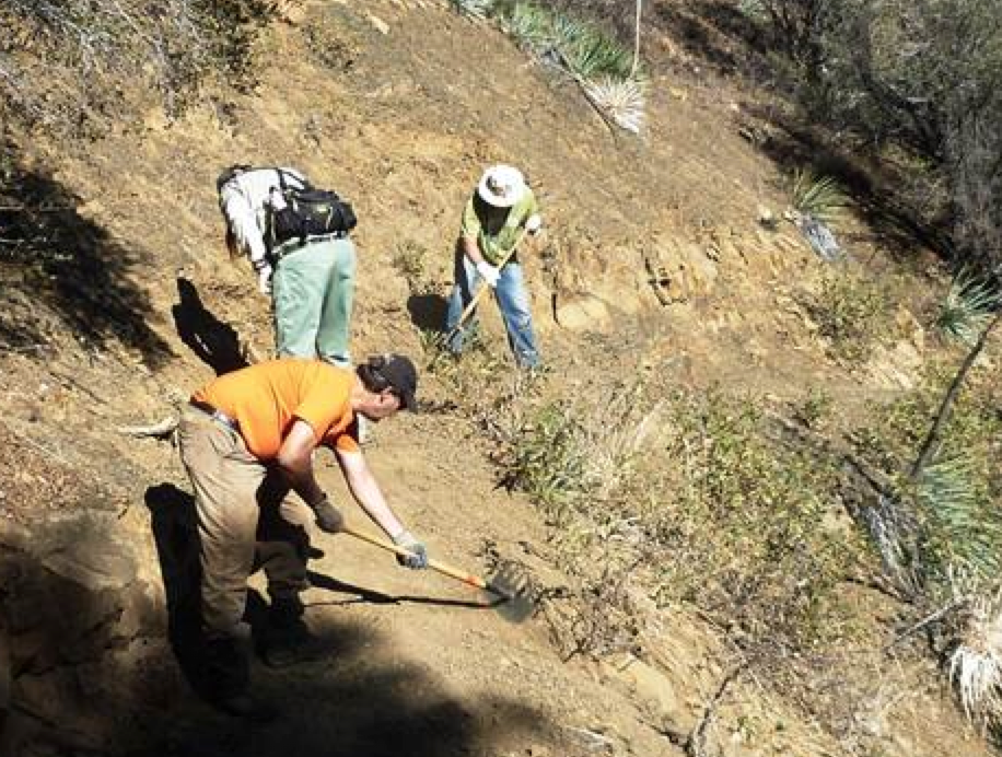
Photo Ranger Heidi - Agua Blanca Trail Survey - 12-11-2015 - by Los Padres Forest Association
Link: Agua Blanca Trail Date: 12-11-2015 Surveyor Name: Los Padres Forest Association Trail description: VWR's Mark and Mickey removed a large fallen oak from the lower part of the trail before the wilderness boundary. Â The AB trail is in fair shape and makes a great weekend loop trip along with the recently worked Pothole Trail. Information courtesy of the Ojai Ranger District.Mode of transport: Array Trail condition: Needs some work - Willow Creek Trail Survey - 11-29-2015 - by Frank Kehl
Link: Willow Creek Trail Date: 11-29-2015 Surveyor Name: Frank Kehl Trail description: We hiked down from the trailhead on Los Burros Road. The trailhead is unmarked, but fairly easy to find. The trail starts out as an old road which gradually deteriorates before switching to singletrack at the Silver Peak Wilderness boundary. There are no signs along the trail, but the junctions are easy to find. The trail itself is in great shape all the way to the second campsite along Willow Creek, where we turned around. There is plenty of water in Willow Creek. The old swinging bridge on Willow Creek is completely gone. The two campsites along Willow Creek are in great shape and seem to get a fair amount of use. Both sites have a grill and fire pit. Campsite #2 also has a picnic table, but it's pretty dilapidated. Mode of transport: Hike Trail condition: Good shape and easy to follow Images: 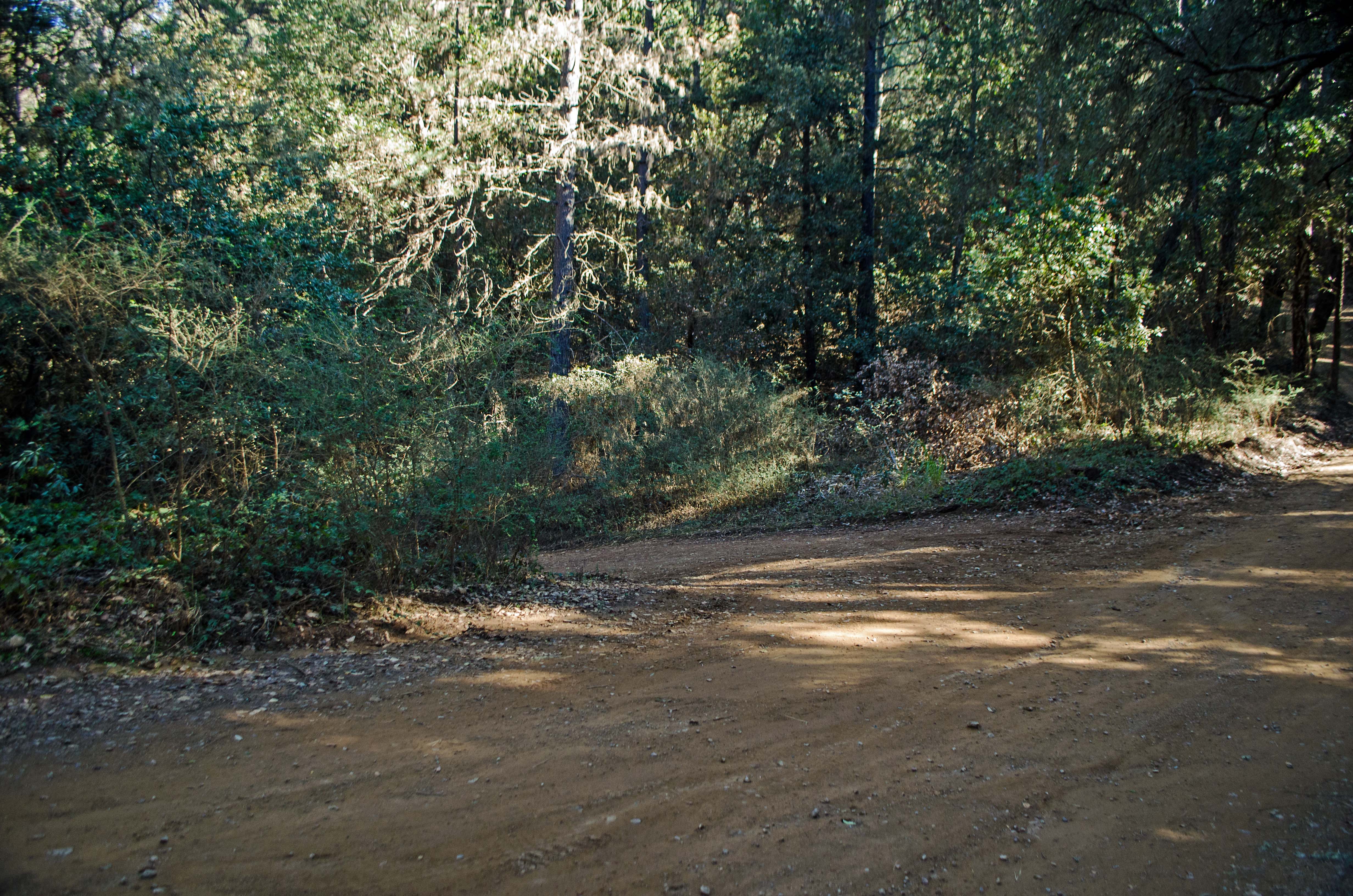
Unmarked start of the trail on Los Burros Road.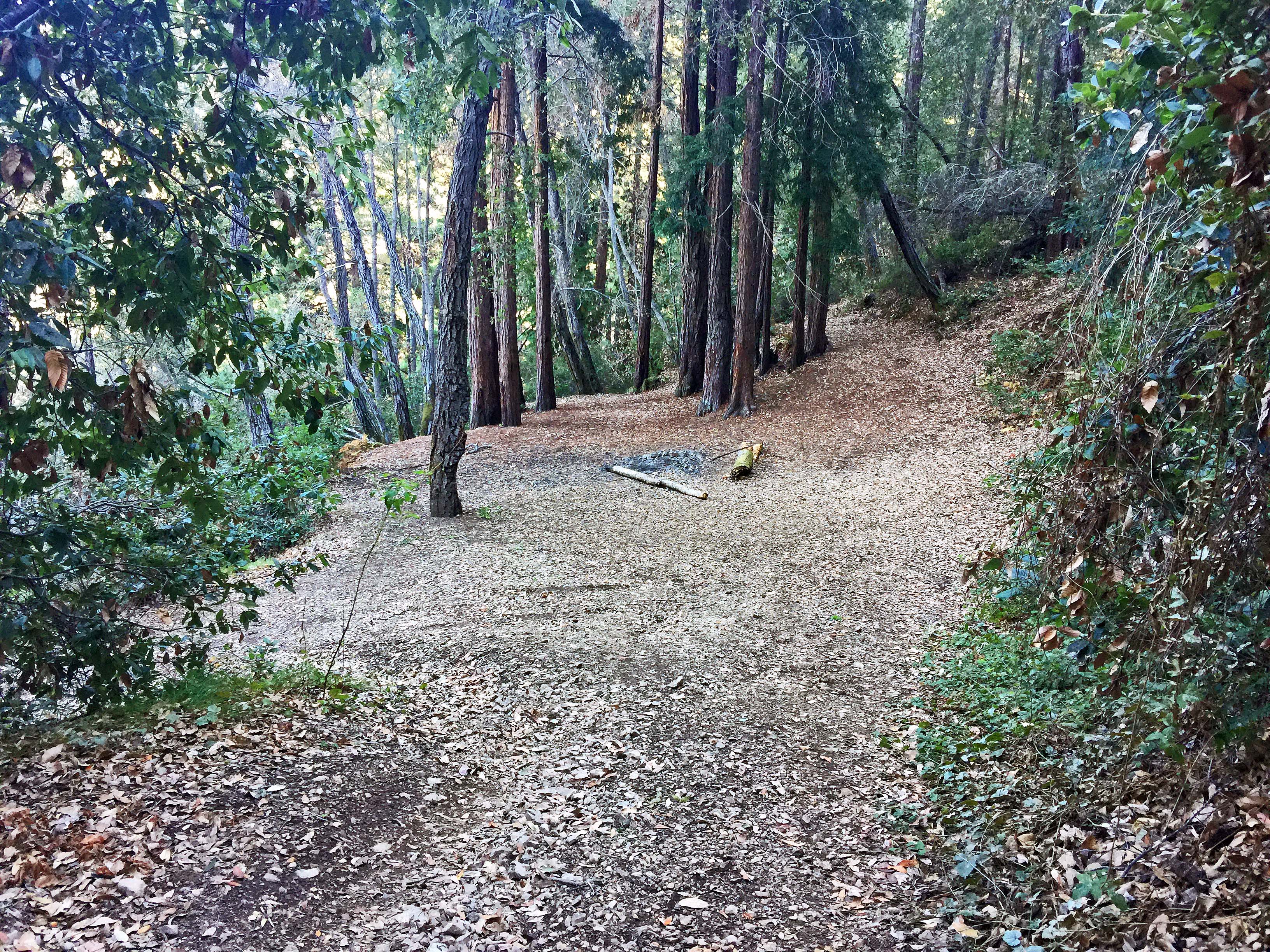
End of the old road and start of single-track trail near the wilderness boundary.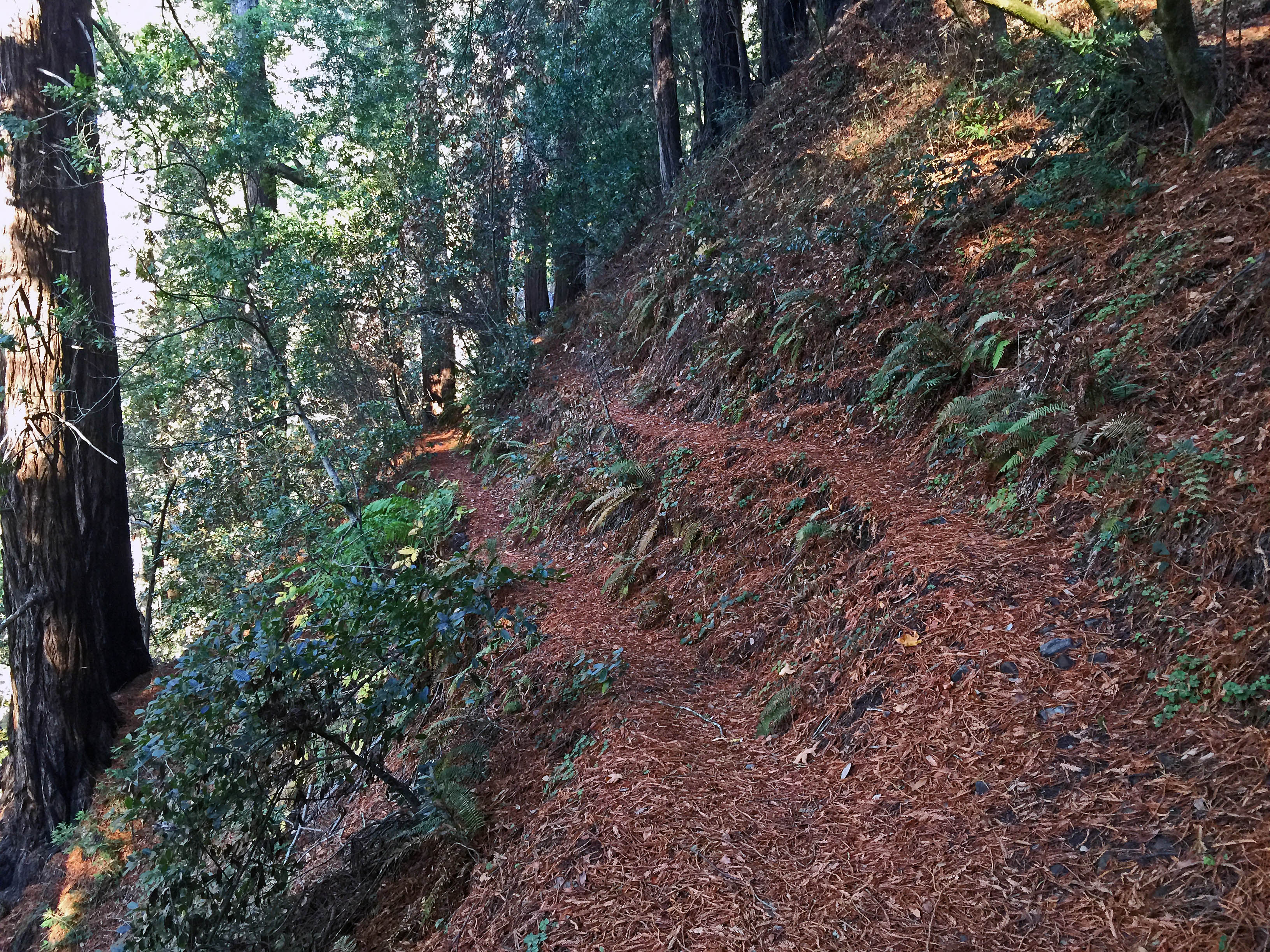
Trail split: main trail on the right. The left branch goes down to the old swinging bridge site.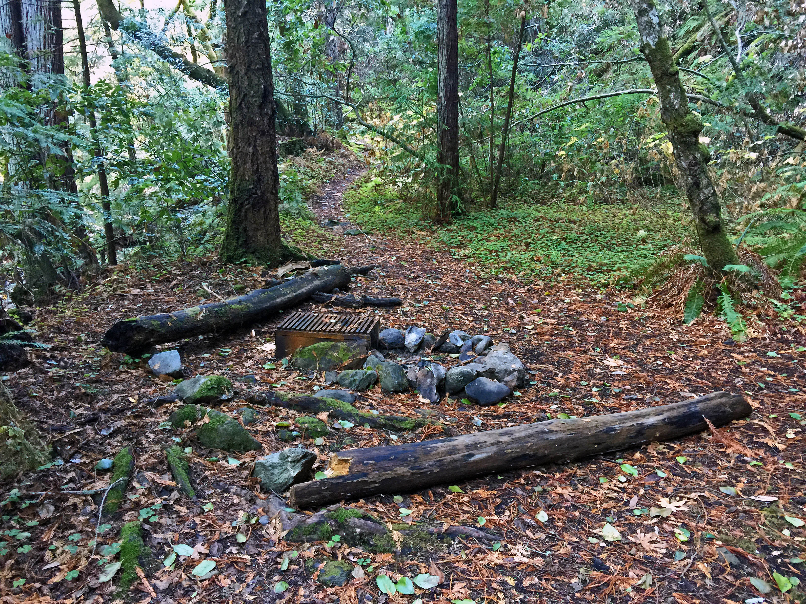
Willow Creek Camp #1.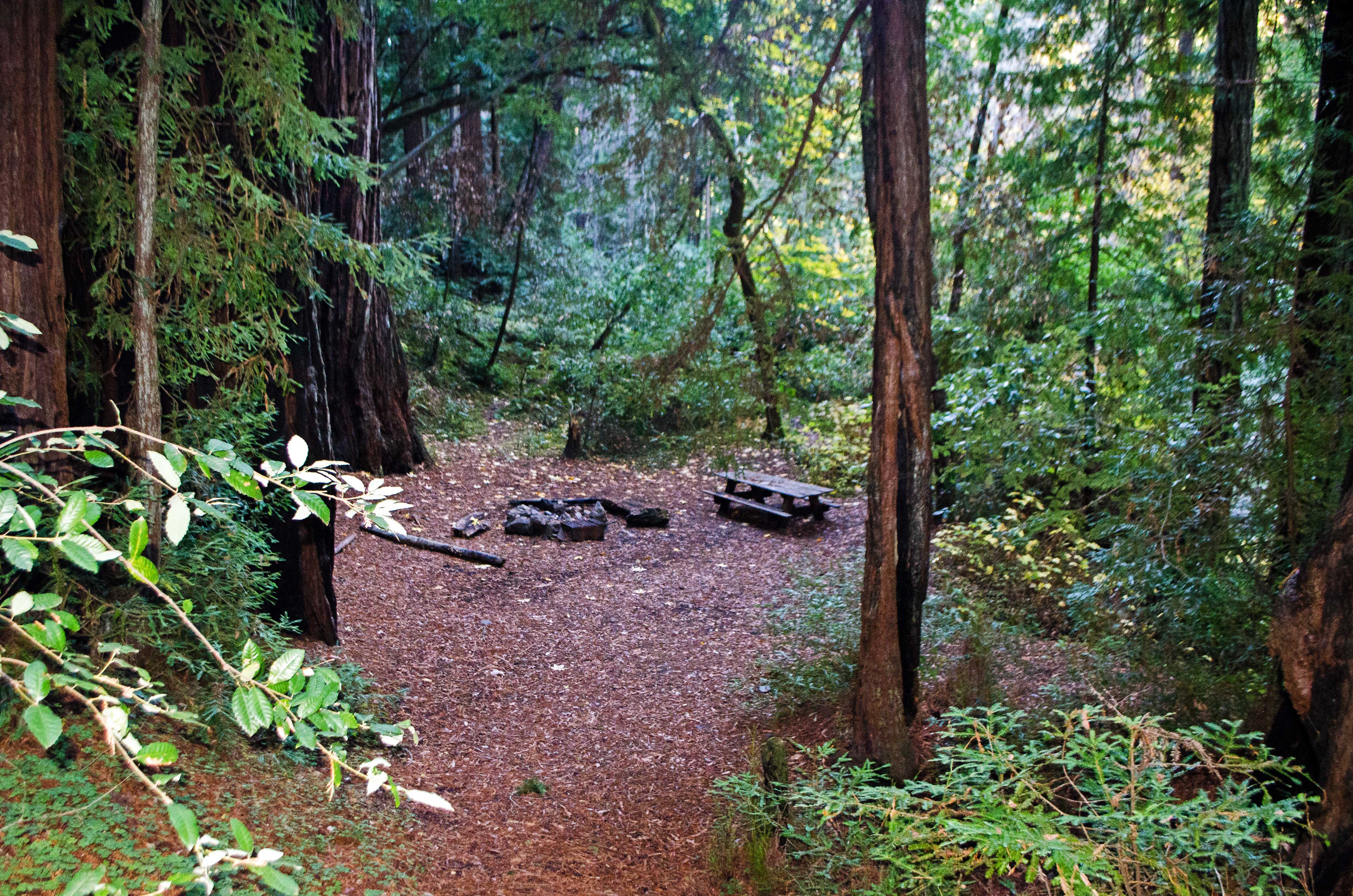
Willow Creek Camp #2. - Alejandro Trail Survey - 11-28-2015 - by Steve Cypher
Link: Alejandro Trail Date: 11-28-2015 Surveyor Name: Steve Cypher Trail description: The trail is in pretty good shape for a remote trail that sees a few bikes and fewer hikers. Some evidence of clearing along the creek in the canyon. Past the camp it was not hard to find where the trail leaves the creek and heads to the ridge. I got suckered by the cow/bike trail at the downed tree mentioned by James Wapotich. I got to the ridge too high, and not at the saddle to the left as the real trail does. Knew I was in the wrong place when there was no road. The bike trail vanished in the woods and I bushwhacked a little way down the La Brea side until I hit the road and found the carsonite "TRAIL" sign marking the top of the Weber Trail. Weber Trail was skinny but obvious all the way to La Brea Creek.Heed the warning to follow the signs & flagging past the camp and head towards the ridge, go left and not right at the downed tree, and the trail is pretty easy to follow.Mode of transport: Hike Trail condition: Needs some work - Pine Ridge Trail Survey - 11-28-2015 - by Chester
Link: Pine Ridge Trail Date: 11-28-2015 Surveyor Name: Chester Trail description: Heavily travelled trail in good condition# We did a two night trip camping at terrace creek and hiking to the Sykes hot springs on day two#
All three pools were full of water but there were a lot of people## you won’t find solitude on this trail, however there are great views and a lush environment#
I think the "very-strenuous"Â difficulty is overstated, it was a relatively easy trail all the way to the hot springs with only a few strenuous sections#
Mode of transport: Hike Trail condition: Good shape and easy to follow Images: .jpg)
- Rancho Nuevo Trail Survey - 11-22-2015 - by Chester
Link: Rancho Nuevo Trail Date: 11-22-2015 Surveyor Name: Chester Trail description: Trail was in good condition all the way to the deal junction camp, apart from a small downed tree across the trail about 1/2 a mile from the trail head.
Once past deal junction the trail became increasingly difficult to follow, some markers were present which helped however after a mile from the deal junction camp I began to lose track of the trail only to rejoin it later.. this happened multiple times until I turned back.
once past deal junction I counted an additional 4 trees down across the trail.
Mode of transport: Hike Trail condition: Hard to follow Images: .jpg)
- Mission Pine Trail Survey - 11-21-2015 - by Paul Cronshaw
Link: Mission Pine Trail Date: 11-21-2015 Surveyor Name: Paul Cronshaw Trail description: Trail is in good condition and easy to follow. There are 4 downed trees between San Rafael Mountain and Mission Pine Springs ranging in size from 14 - 28". Â A 5th tree is hung up across trail about 1/4 mile below Mission Pine Springs Camp. Mode of transport: Hike Trail condition: Needs some work Condition details: 4 downed trees Images: 
Register at McKinley Saddle marks the western end of the Mission Pine Trail
Downed Tree #2 near San Rafael Peak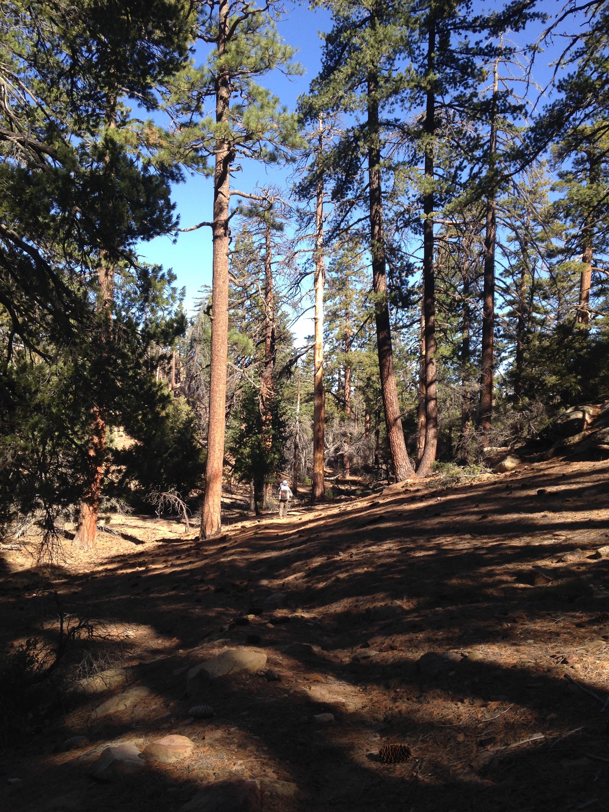
Hiking in the solitude of big pines. A Sierra Nevada experience!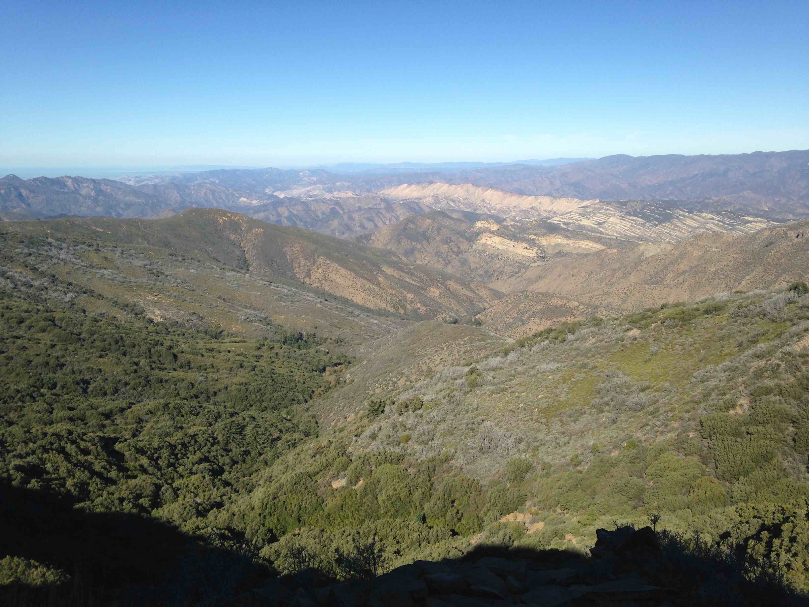
View to the East: Manzana River and Hurricane Deck.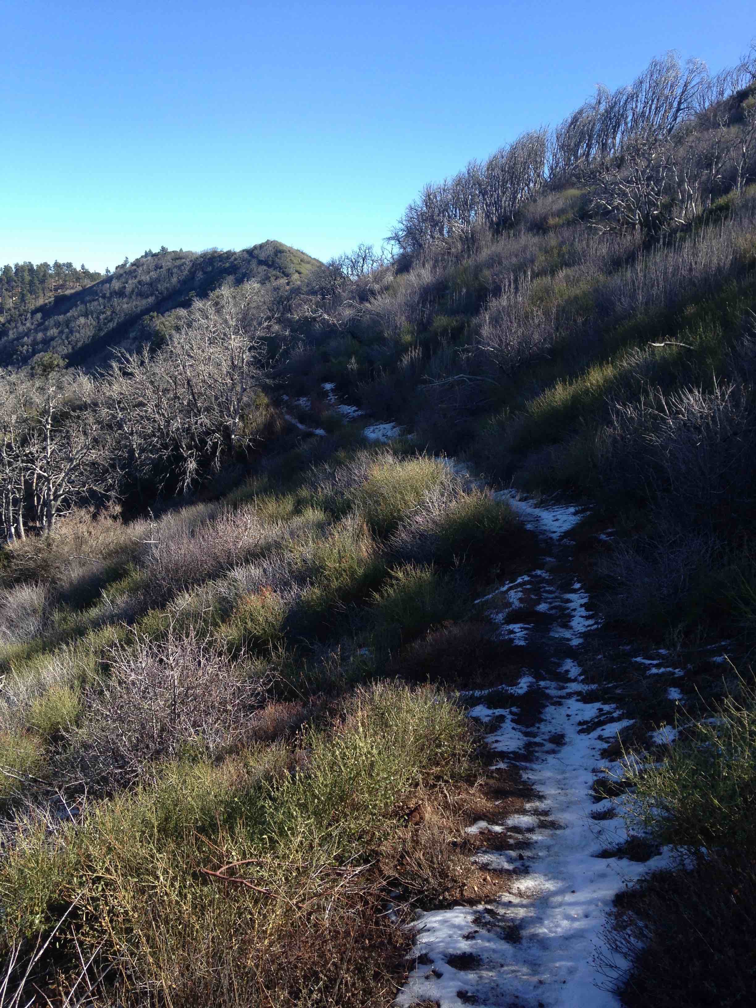
Snow on trail traversing the northern slope of San Rafael Mountain. - Alder Creek Trail Survey - 11-21-2015 - by Los Padres Forest Association
Link: Alder Creek Trail Date: 11-21-2015 Surveyor Name: Los Padres Forest Association Trail description: Ojai Ranger District project to install carsonite Condor Sanctuary signs along the west boundary of the Alder Creek Trail. Â They are spaced every 1/4mile from the Dough Flat Trailhead to just past Cow Springs. Trail is in great shape to Cow Springs.And a report here from Valerie Norton about the project.Mode of transport: Array Trail condition: Good shape and easy to follow Images: 
Photo Ranger Heidi - Murietta Trail Survey - 11-20-2015 - by Bryan Conant
Link: Murietta Trail Date: 11-20-2015 Surveyor Name: Bryan Conant Trail description: Trail is very brushy from the road down to the camp. Â Some branches in the trail. Â Both creek crossings are hard to follow, especially with a bike. Â The trail gets much better as you get below the camp. Â Hot in the sun and cool in the shade. Â A great short hike out of Ojai. Â Didn't see another person. Mode of transport: Bicycle Trail condition: Needs some work - Roque Canyon Trail Survey - 11-20-2015 - by Anonymous Surveyor
Link: Roque Canyon Trail Date: 11-20-2015 Surveyor Name: Anonymous Surveyor Trail description: Trail is easily lost. The roque camp is either washed away or non existent.  Water was trickling in the canyon.ÂMode of transport: Hike Trail condition: Hard to follow Condition details: trail is overgrown and easily confused with cattle trails. Images: 


- Hurricane Deck Trail Survey - 11-20-2015 - by LPFA : Bard
Link: Hurricane Deck Trail Date: 11-20-2015 Surveyor Name: LPFA : Bard Trail description: No Water! Â Ever. Trail tread easy to follow. Â Thanks for trail ribbon markers. Â Lost trail a few times, got down on the ground and looked for saw cuts on chapparal. Â Not easy to do with a 4 day backpack loaded with H20.Unreal views with clear air.Strong commitment with friends. Â Safe trip.Spring on Lost Valley Trail; murkyMode of transport: Hike Trail condition: Needs some work Condition details: H.D. Trail from White Ledge to Lost Valley Images: 
- Agua Blanca Trail Survey - 11-15-2015 - by Mark Subbotin
Link: Agua Blanca Trail Date: 11-15-2015 Surveyor Name: Mark Subbotin Trail description: Ojai Ranger Dist. recon/survey; hiked from Kester Cabin to Log Cabin Camp through the Devils Gateway. Â Creek crossings were flagged. Â Trail is generally easy to follow, but be extra alert at creek crossings to pick up trail on opposite side and where trail climbs back out of creek bottom onto south slope. Â Devils Gateway had knee high water. Â Water flowing at Log Cabin Camp and up Potholes Trail to Potholes Cabin. Â Mode of transport: Hike Trail condition: Needs some work Images: 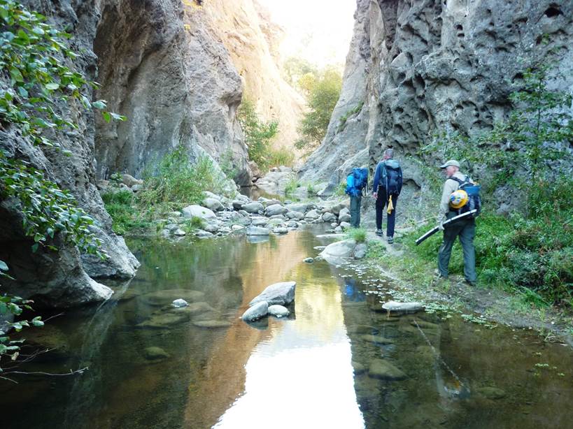
Devils Gateway - Pothole Trail Survey - 11-15-2015 - by Los Padres Forest Association
Link: Pothole Trail Date: 11-15-2015 Surveyor Name: Los Padres Forest Association Trail description: Ojai Ranger District patrol of the Pothole Trail. Â There is good water along the bottom of the canyon, including water at the Pothole Cabin. Â There will be a few weeks of trail work by the CREW along this trail later this fall. Mode of transport: Array Trail condition: Needs some work - Poplar Trail Survey - 11-14-2015 - by Los Padres Forest Association
Link: Poplar Trail Date: 11-14-2015 Surveyor Name: Los Padres Forest Association Trail description: Trail is in poor shape after about a mile from Bluff. Brush reaches across trail in many places. Also lots of downed branches and trees – we had to break a way through for hikers, not passable for equestrians. No indication Blue Jay, Poplar or Pens have been used recently. Indian Creek dry except flowing for a stretch above Blue Jay Mode of transport: Array Trail condition: Needs some work - Big Cone Spruce Trail Survey - 11-12-2015 - by Los Padres Forest Association
Link: Big Cone Spruce Trail Date: 11-12-2015 Surveyor Name: Los Padres Forest Association Trail description: FROM A RECENT HIKING PARTY WHO WENT FROM MANZANA NARROWS TO BIG CONE SPRUCE CAMP:The trail up to Big Cone Spruce needed trail maintenance. We cleared the blowdowns we could, but there are still a few on that stretch.Mode of transport: Hike Trail condition: Needs some work - Franklin Trail North Survey - 11-10-2015 - by Valerie Norton
Link: Franklin Trail North Date: 11-10-2015 Surveyor Name: Valerie Norton Trail description: The raspberries weren't making it hard to find the trail this time, so that's a plus. Â Otherwise, it is practically the same as three years ago. Â Downed trees (under 12") and a small spring make it not entirely obvious which way the trail goes toward the bottom and it looks like some people have looked for it climbing rather than up the canyon a few hundred more feet before climbing. Â There are more trees down above this (all under 24") and some of them are still growing. Â Above the first set of switchbacks is a slide area with improvements to hold in the trail, but half of these have failed and the other half have so much extra sluff that it feels a little dangerous. Â There are a couple spots near the top where the trail bed is failing, too, but otherwise it is good and obvious. Â Well, I thought it was obvious. Â Some switchbacks have been cut the last 5 feet or so. Â One spot where it crosses a dry creek shortly has seen many feet go up the creek instead of the trail on the other side, but the trail comes back quickly and it is currently flagged in this location. Â Brush is stabby from both sides, especially over the mile above camp. Â Different from 3 years ago: the front side exists! Â Another plus. Mode of transport: Hike Trail condition: Needs some work Condition details: trees down, narrow tread Images: 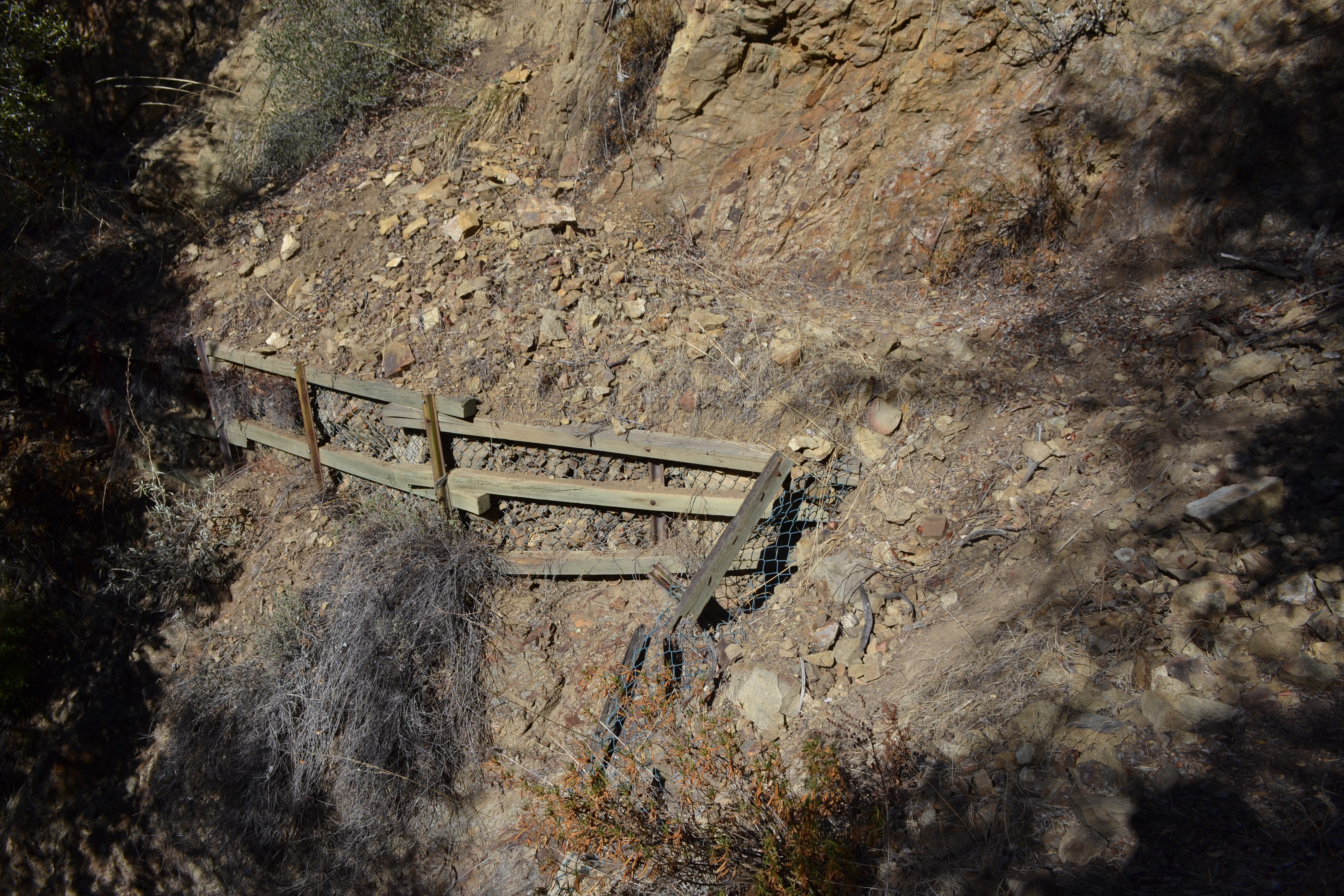
failing trail supports, was like this 3 years ago too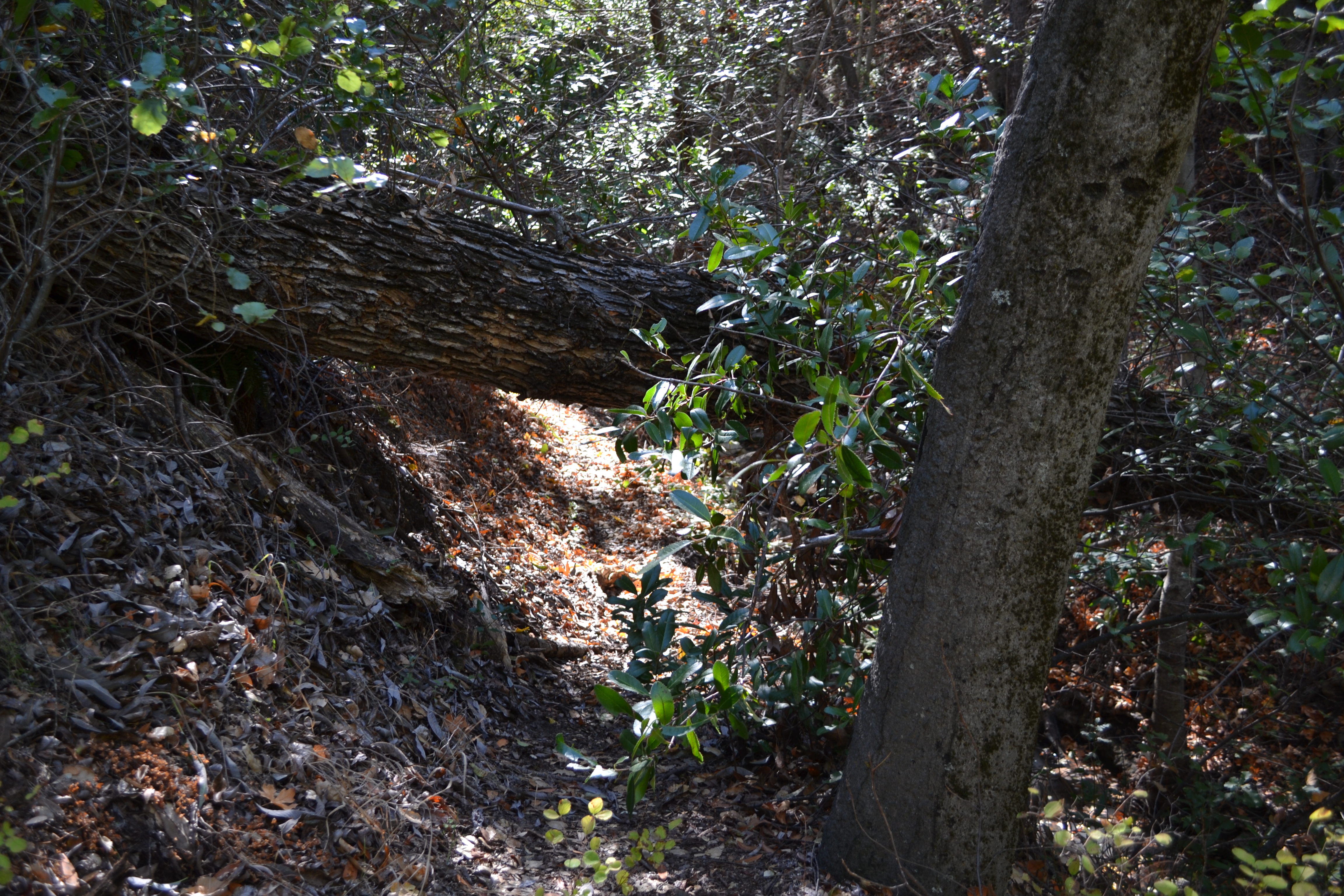
growing very low bridge, could be complicated to remove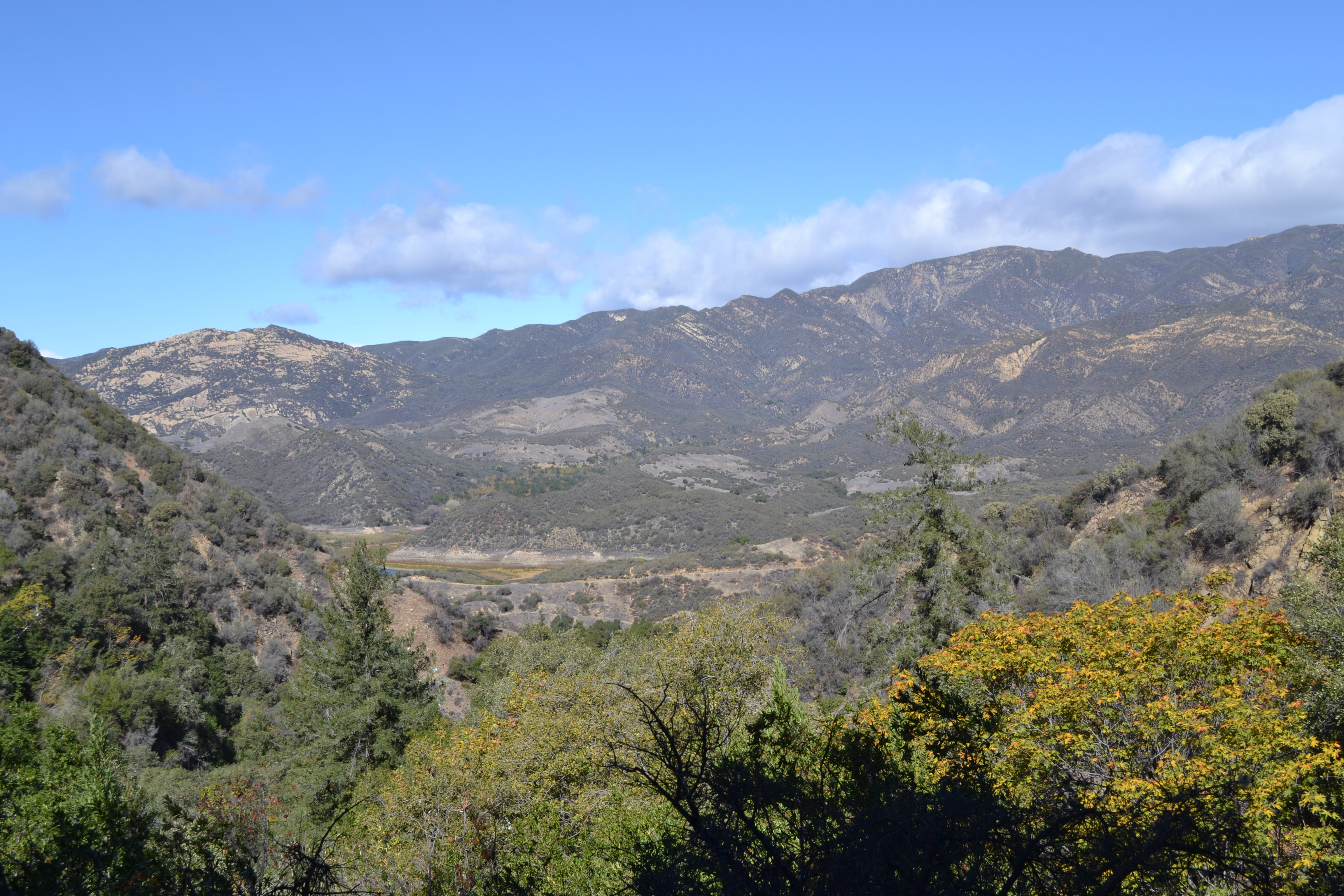
scenery - Mono-Alamar Trail Survey - 11-10-2015 - by Los Padres Forest Association
Link: Mono-Alamar Trail Date: 11-10-2015 Surveyor Name: Los Padres Forest Association Trail description: LPFA in conjunction with the Forest Service hired a California Conservation Corp (CCC) crew to work the Mono-Alamar Trail from the up-canyon side of Ogilvy Ranch up to Mono Narrows. Â They completed work up to the old Upper Mono Campground, which is about 200 yards short of the Narrows. Â FANTASTIC work to say the least. Â Check out more information here: https://www.facebook.com/LosPadresForestAssociation/posts/466617746796488Mode of transport: Array Trail condition: Needs some work - Lost Valley Trail San Rafael Wilderness Survey - 11-07-2015 - by Jeff Mahoney
Link: Lost Valley Trail San Rafael Wilderness Date: 11-07-2015 Surveyor Name: Jeff Mahoney Trail description: Photos from the follow-up trip. Mode of transport: Hike Trail condition: Needs some work Condition details: Lost Valley storm damage - daylight survey Images: 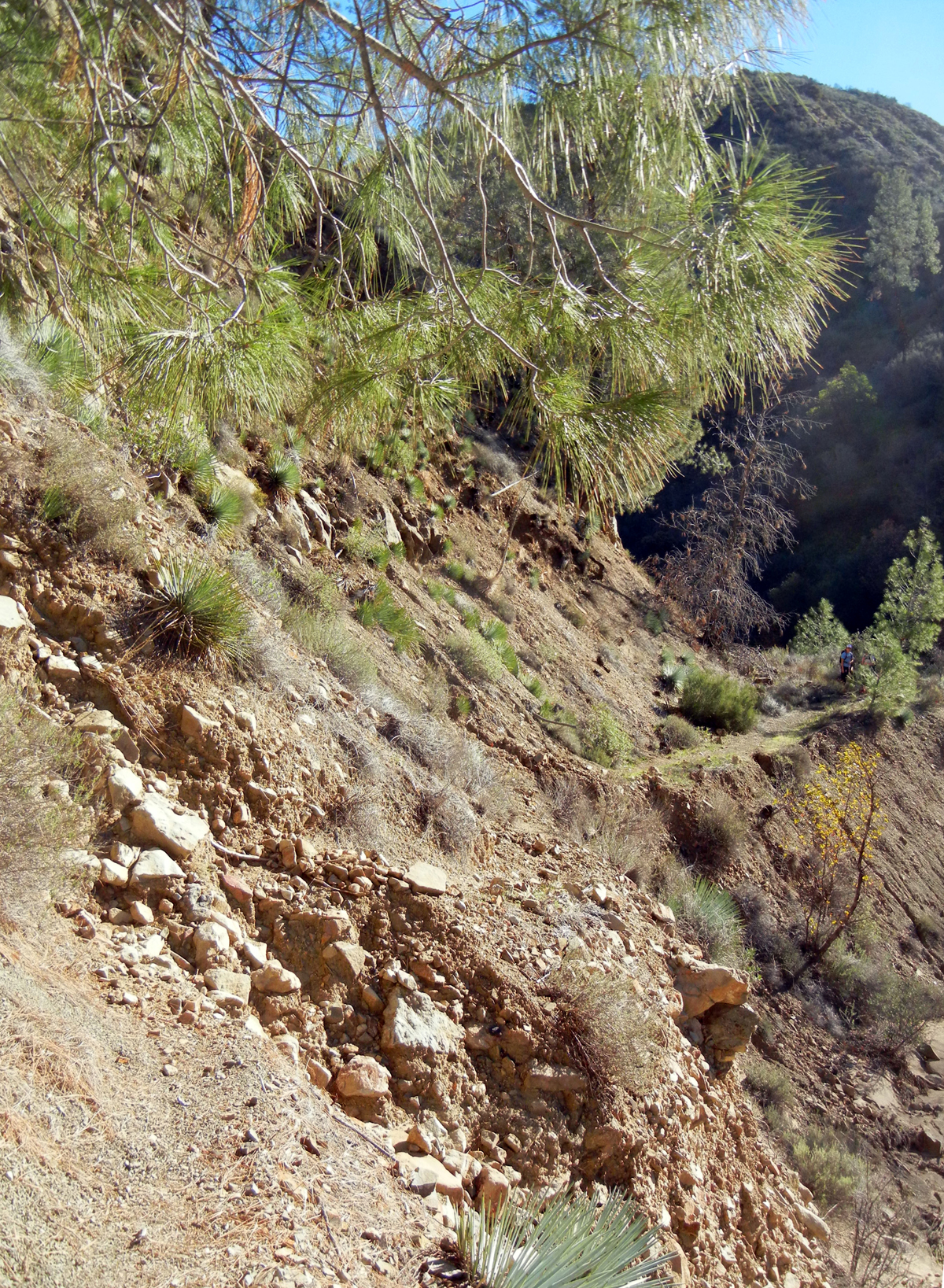
Slide at 34.777962, -119.906432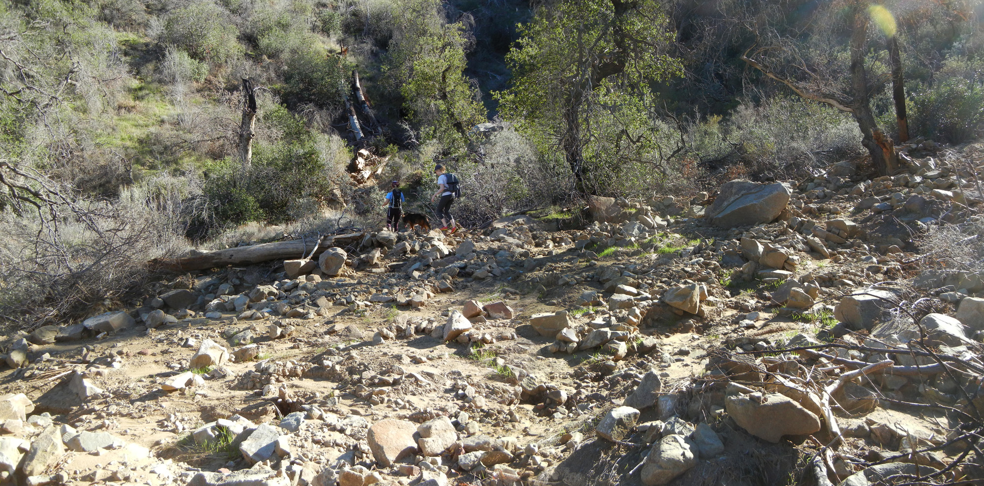
Wash at 34.775174, -119.889575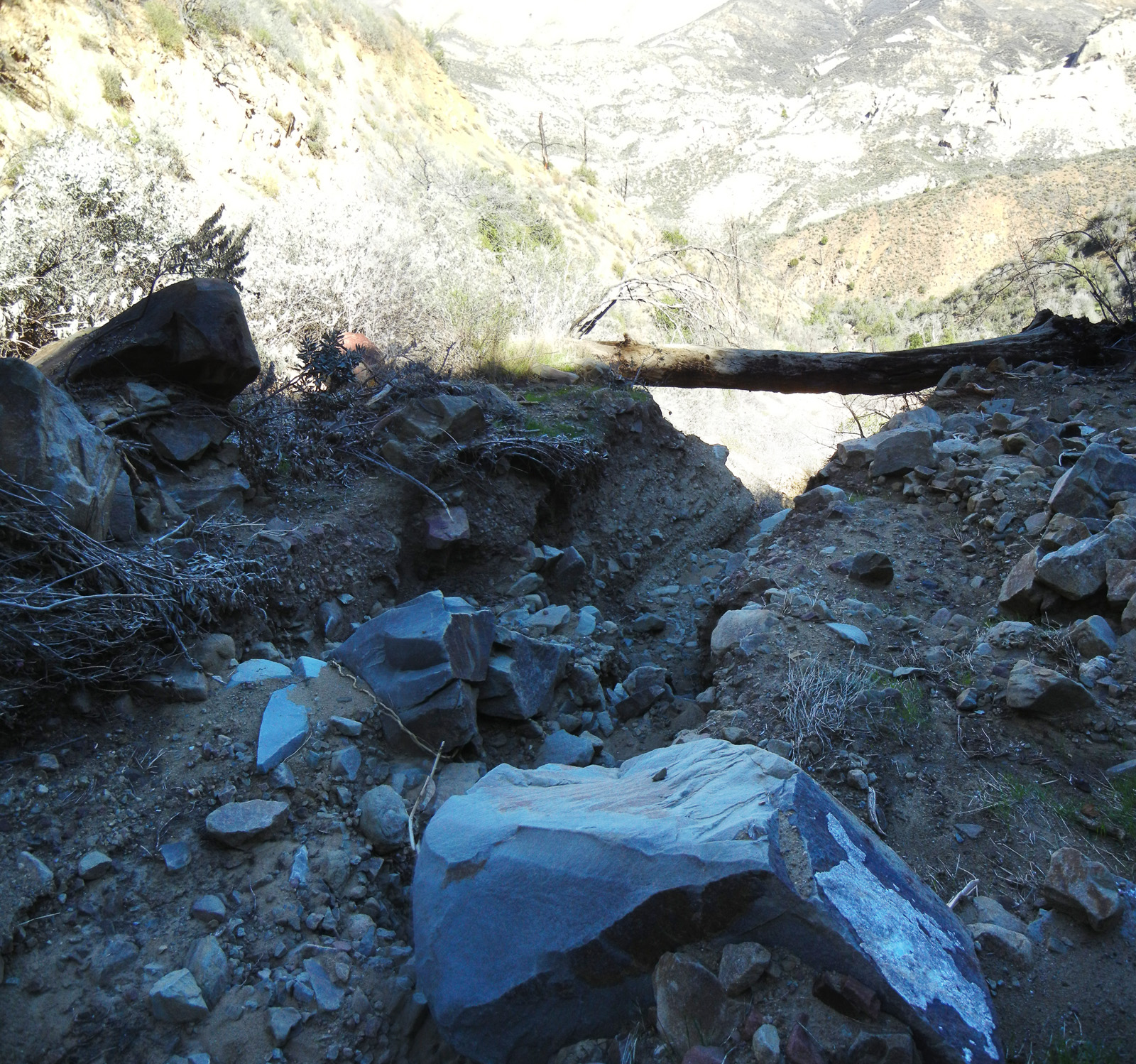
Log crossing at 34.774575, -119.890133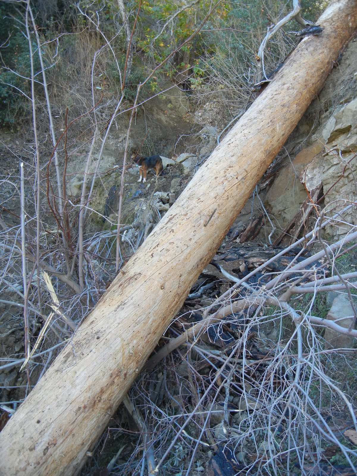
Vulture Spring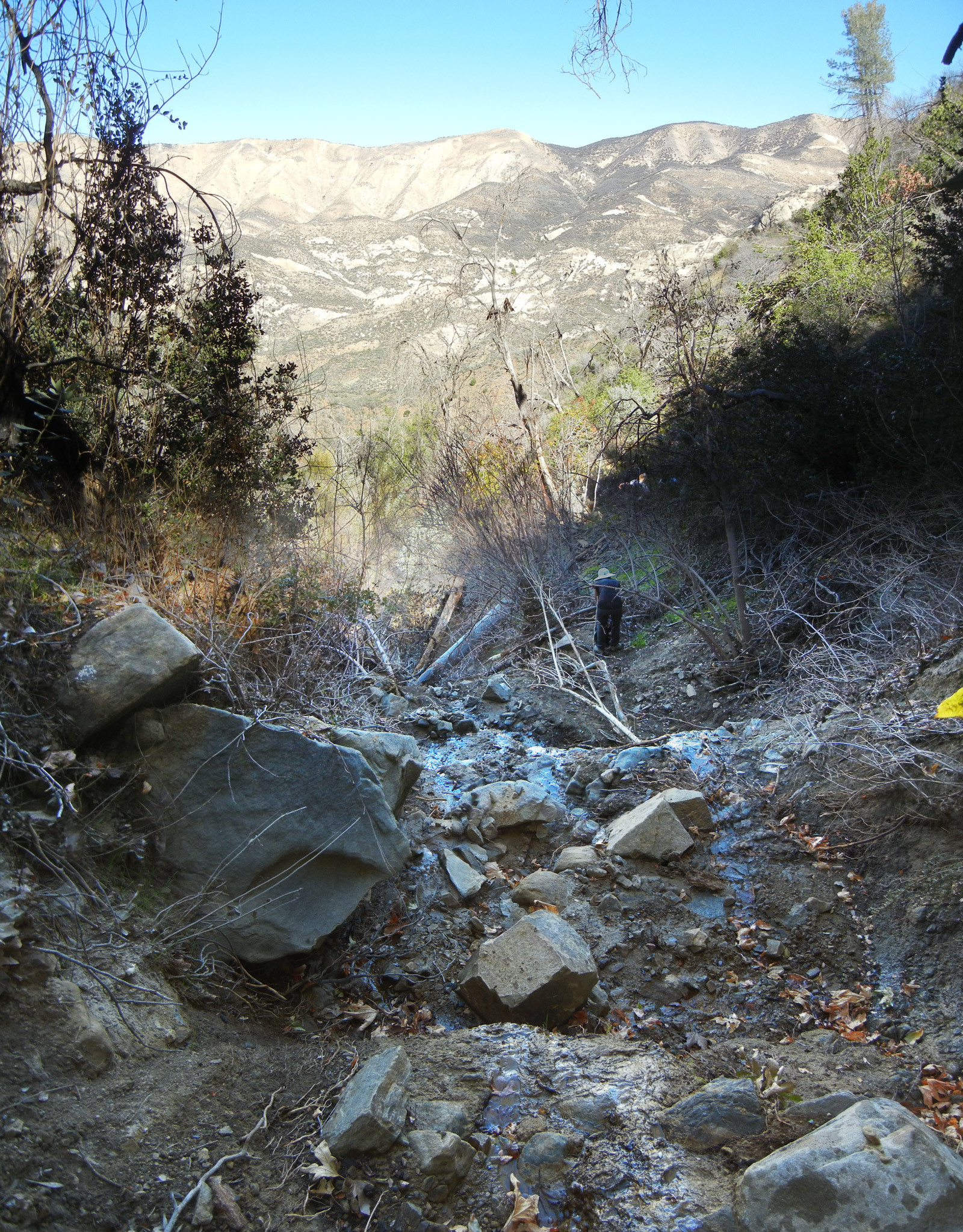
Looking down from the spring - Thorn Point Trail Survey - 11-04-2015 - by Dave Burnett
Link: Thorn Point Trail Date: 11-04-2015 Surveyor Name: Dave Burnett Trail description: Thorn Point Hike
          Hike started at the last stream crossing, ~4,830 ft elev before turning onto Forest Road 7N038, adding about 1.8 miles each way to the hike. This 1.8 miles is an easy hike to the Thorn Point trailhead. The first 1.6 miles on the trail is undulating, but only a slight additional gain to ~5,400 ft elev. At 1.6 miles from the trailhead the trail steepens significantly, following switchbacks generally to the south to an elevation of 6,575 ft at 3.1 miles from the trailhead. The remaining 0.6 miles climbs ~360 ft to the tower at 6,935 ft. Total distance from the car is 5.6 miles and an elevation gain of ~2,100 feet mostly in the last third of the hike.
          The entire trail is very easy to follow, so navigation is not much of an issue. Lots of great views and rest stop locations along the way. Trail is in very good shape, although there are a few fallen trees blocking the way in the first mile from the trailhead. These are easy to get around or over. There was no sign of any water along the trail.
          This hike was strenuous, but very pleasant and rewarding. Starting at 9 am, the temp was about 37 degrees at the car. By noon at the tower, the temp was about 45 with light wind. There was a small amount of snow at the higher elevations on protected north slopes. The snow was delivered by the storm two days before our hike. Views at the Tower were spectacular. Tower is in poor repair but felt safe to climb. Look out for rusty nails and broken boards, though. Careful where you step on the walkway. It feels sturdy, but there could be weak spots.
           After about an hour at the Tower and signing the summit register, we headed back to the car at 1 pm. A lot easier going down! We arrived at the car at 4 pm. There are a number of geocaches along the road to the trailhead which I was happy to find. This added about 45 minutes to the hike back.
           In addition to views at the Tower, much of the trail also affords views of massive rock formations and a variety of types of vegetation. It is hard to believe this trail gets so little use. We saw no one else on the trail and the prior signatures on the summit register were from late September. The big drawback is likely the long drive to the trailhead along the mostly unpaved road from Lockwood Valley Road.
Mode of transport: Hike Trail condition: Good shape and easy to follow Images: 
Thorn Point Lookout
Light dusting of snow near summit in protected location
View to Anacapa & Santa Cruz Islands - about 45 miles SW.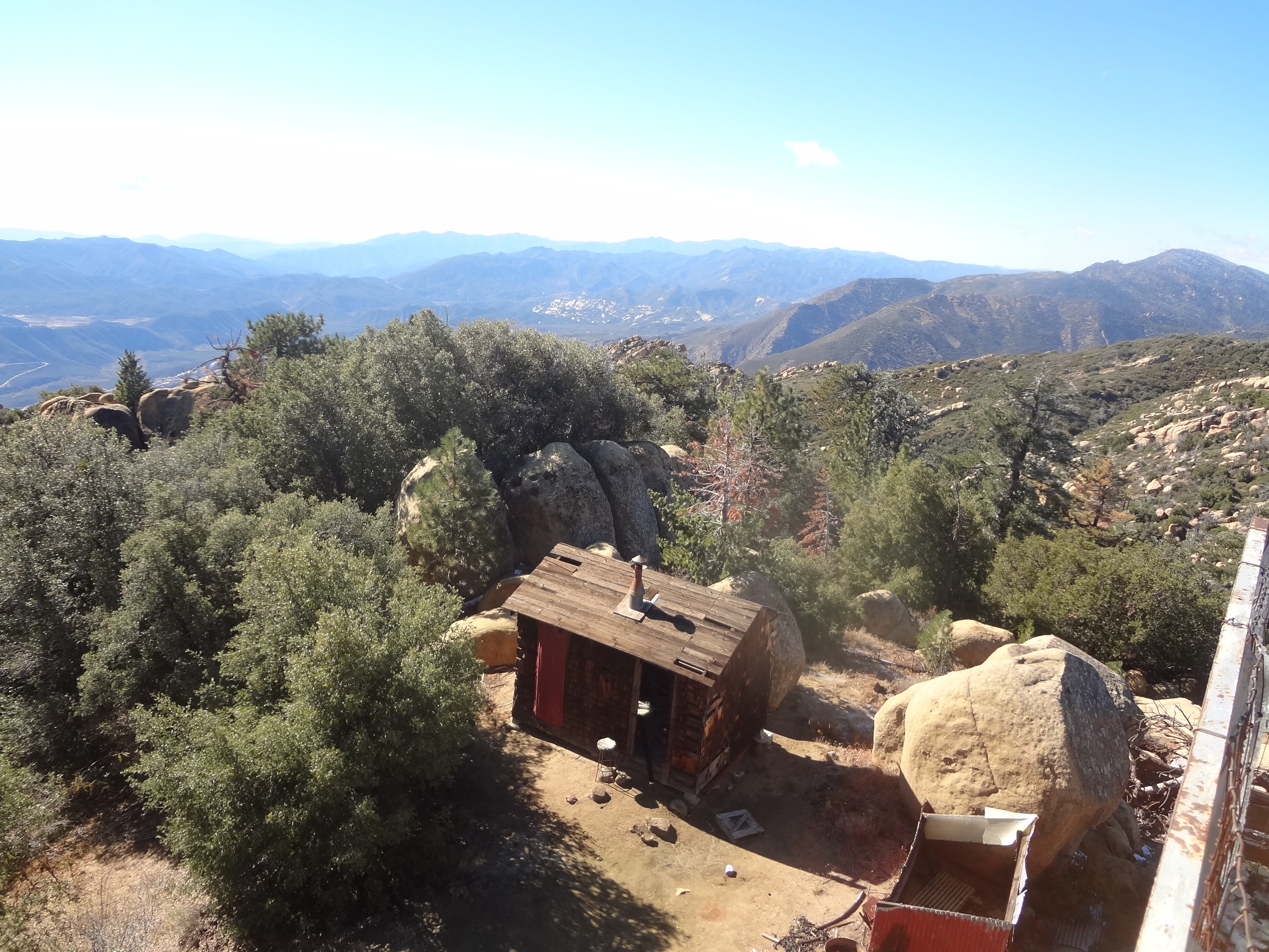
Ranger accomodations - Aliso Loop Trail Survey - 11-04-2015 - by Los Padres Forest Association
Link: Aliso Loop Trail Date: 11-04-2015 Surveyor Name: Los Padres Forest Association Trail description: Report from Ranger Rik: Picked up all blow down limbs on trail. Trail is in good shape with little water damage.ÂMode of transport: Hike Trail condition: Good shape and easy to follow - Fir Canyon Davy Brown Trail Survey - 11-03-2015 - by Los Padres Forest Association
Link: Fir Canyon Davy Brown Trail Date: 11-03-2015 Surveyor Name: Los Padres Forest Association Trail description: Report from the Santa Ynez Women's Hiking Group: Largish branch down over the trail just after you start heading up from the stream along the upper section.Mode of transport: Hike Trail condition: Needs some work - Lion Canyon Trail Survey - 10-30-2015 - by Los Padres Forest Association
Link: Lion Canyon Trail Date: 10-30-2015 Surveyor Name: Los Padres Forest Association Trail description: Super volunteers Ranger Rik and Mickey spent a day clearing the top section of the Lion Canyon Trail above Ojai. Â They brushed the top 0.5 miles of trail. Â More work needed below but the trail is very VERY passable by LP standards. Mode of transport: Array Trail condition: Good shape and easy to follow Images: 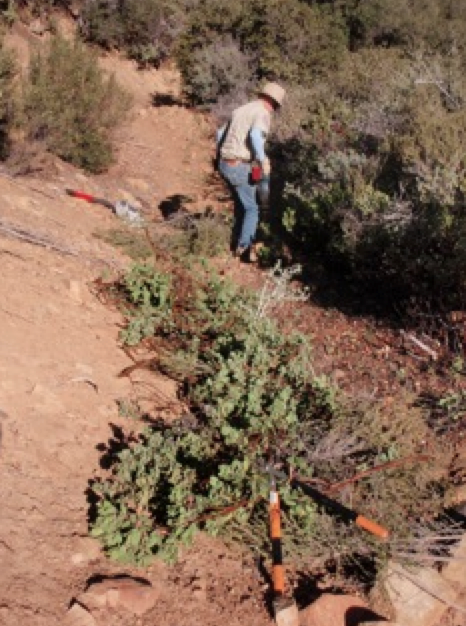
Brushing, photo Rik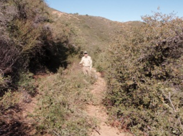
Before, photo Rik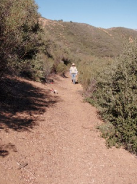
After, photo Rik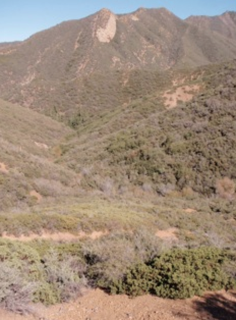
Awesome views into the Sespe, photo Rik - Hurricane Deck Trail Survey - 10-30-2015 - by Los Padres Forest Association
Link: Hurricane Deck Trail Date: 10-30-2015 Surveyor Name: Los Padres Forest Association Trail description: SECTION FROM POTRERO TO MANZANA SCHOOLHOUSEReport from BQJ:Trail disappears for about 1/8 mile at midway spot. Flagging provides some direction here but brush work needed to reestablish trail route. One steep section close to Potrero Trail could stand to be rerouted to avoid excessive erosion (not sure if this is allowed). Switchbacks down into the river valley are fairly clear but some treadwork may be helpful in spots.Mode of transport: Hike Trail condition: Needs some work - Manzana Trail West (Lower) Survey - 10-30-2015 - by Los Padres Forest Association
Link: Manzana Trail West (Lower) Date: 10-30-2015 Surveyor Name: Los Padres Forest Association Trail description: LOWER MANZANA FROM NIRA TO MANZANA SCHOOLHOUSE Report by BQJThree large trees down that we could not move. Two on the road about half way between schoolhouse and where the road leaves the trail and one about half way between where the road leaves the trail and Potrero. Chainsaw or cross-cut saw will be necessary for removal. The creek was flowing but passable by hopping rock to rock. Water level seemed to be about 4-6 inches deep with  signs of maximum water level during the storm reaching 6-12 inches higher. No significant tread damage due to storm.Mode of transport: Hike Trail condition: Needs some work - Cozy Dell Trail Survey - 10-29-2015 - by Los Padres Forest Association
Link: Cozy Dell Trail Date: 10-29-2015 Surveyor Name: Los Padres Forest Association Trail description: The Ojai Ranger District in conjunction with Engine 51 successfully removed two downed trees from the Cozy Dell Trail. Mode of transport: Array Trail condition: Good shape and easy to follow Images: 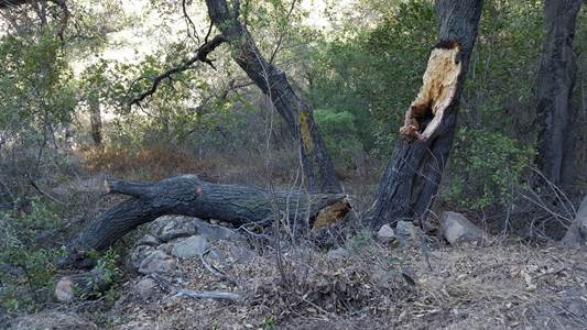
Photos Ranger Heidi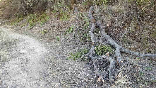
Photos Ranger Heidi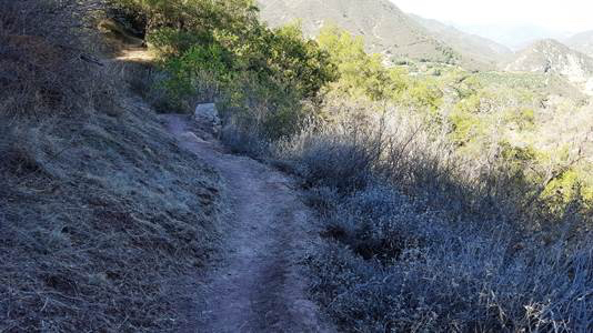
Photos Ranger Heidi - Boulder Canyon Trail Survey - 10-18-2015 - by Los Padres Forest Association
Link: Boulder Canyon Trail Date: 10-18-2015 Surveyor Name: Los Padres Forest Association Trail description: Recent article by ValHikes about a hike up Boulder Canyon. Â Enjoy: http://valhikes.blogspot.com/2015/10/boulder-canyon.html?utm_source=feedburner&utm_medium=email&utm_campaign=Feed%3A+MomentsInDirtAndInk+%28Moments+in+Dirt+and+Ink%29Mode of transport: Hike Trail condition: Needs some work - Potrero Canyon Trail Survey - 10-18-2015 - by Los Padres Forest Association
Link: Potrero Canyon Trail Date: 10-18-2015 Surveyor Name: Los Padres Forest Association Trail description: Report from BQJ:Minimal encroachment of vegetation. Some light tread work may help along slopes but nothing significantMode of transport: Hike Trail condition: Good shape and easy to follow - Sespe River Trail Survey - 10-17-2015 - by Anonymous Surveyor
Link: Sespe River Trail Date: 10-17-2015 Surveyor Name: Anonymous Surveyor Mode of transport: Hike Trail condition: Good shape and easy to follow - Last Chance Trail Survey - 10-12-2015 - by Jeremy Scarlett
Link: Last Chance Trail Date: 10-12-2015 Surveyor Name: Jeremy Scarlett Trail description: Trail is little difficult to find out of Cross Camp but once on it, there is pink tape markers and then mostly small cairns to make the way. There was a tin box with notes in in, looks like no one had been by since August 2015. We only went up about a mile past Cross Camp, didn't make it to Jackson Hole. Trail was a little brushy in spots, recommend long pants and sleeves. Mode of transport: Hike Trail condition: Needs some work - Piedra Blanca Trail Survey - 10-11-2015 - by Ranger Rik
Link: Piedra Blanca Trail Date: 10-11-2015 Surveyor Name: Ranger Rik Trail description: Trail is in good shape from the Reyes Creek Trailhead side. Â VWR brushed the trail from Reyes Creek to 1 mile past Beartrap. Â Some rutting has developed in the tread but other than that it's good to go! Mode of transport: Array Trail condition: Needs some work - Potrero John Trail Survey - 10-11-2015 - by Ranger Rik
Link: Potrero John Trail Date: 10-11-2015 Surveyor Name: Ranger Rik Trail description: Water was found in the lower portion of the trail just above Hwy 33. Mode of transport: Array Trail condition: Good shape and easy to follow Images: 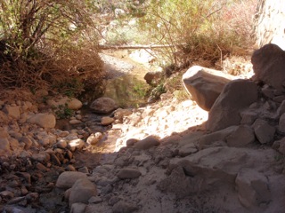
- Manzana Trail West (Lower) Survey - 10-06-2015 - by Los Padres Forest Association
Link: Manzana Trail West (Lower) Date: 10-06-2015 Surveyor Name: Los Padres Forest Association Trail description: There is a slow but consistent trickle of water near Dabney Cabin. Mode of transport: Array Trail condition: Good shape and easy to follow - Sisquoc Trail Upper Survey - 10-04-2015 - by Los Padres Forest Association
Link: Sisquoc Trail Upper Date: 10-04-2015 Surveyor Name: Los Padres Forest Association Trail description: Trail in "relatively good shape" from Heath down to South Fork. Â No slides or extreme obstacles to report. There is water just below Heath, at Cottonwood and at Skunk Camp.Mode of transport: Hike Trail condition: Needs some work - Judell Trail Survey - 10-04-2015 - by Los Padres Forest Association
Link: Judell Trail Date: 10-04-2015 Surveyor Name: Los Padres Forest Association Trail description: Trail is very passable and in good shape. Â Some stagnant water in Judell Creek. Mode of transport: Hike Trail condition: Good shape and easy to follow - Manzana Trail East (Upper) Survey - 10-04-2015 - by Los Padres Forest Association
Link: Manzana Trail East (Upper) Date: 10-04-2015 Surveyor Name: Los Padres Forest Association Trail description: Trail is in good shape from NIRA out to South Fork Station. Â There is no water between NIRA and Manzana Narrows. Â From the Narrows to South Fork there is only water at the spring above the switchbacks. Â We do not know if there is water at Lonnie Davis. Routes that are low and near the creek need burshing and tread. Â Routes that are upper need some slough tread work. But there are no blow outs.
Section from Fish to Ray's camp needs the most bushing.
There is a tree down before Ray's camp, 4ft crosscut needed.
There is one small tree blocking the trail before Manzana camp.
Mode of transport: Array Trail condition: Needs some work Images: 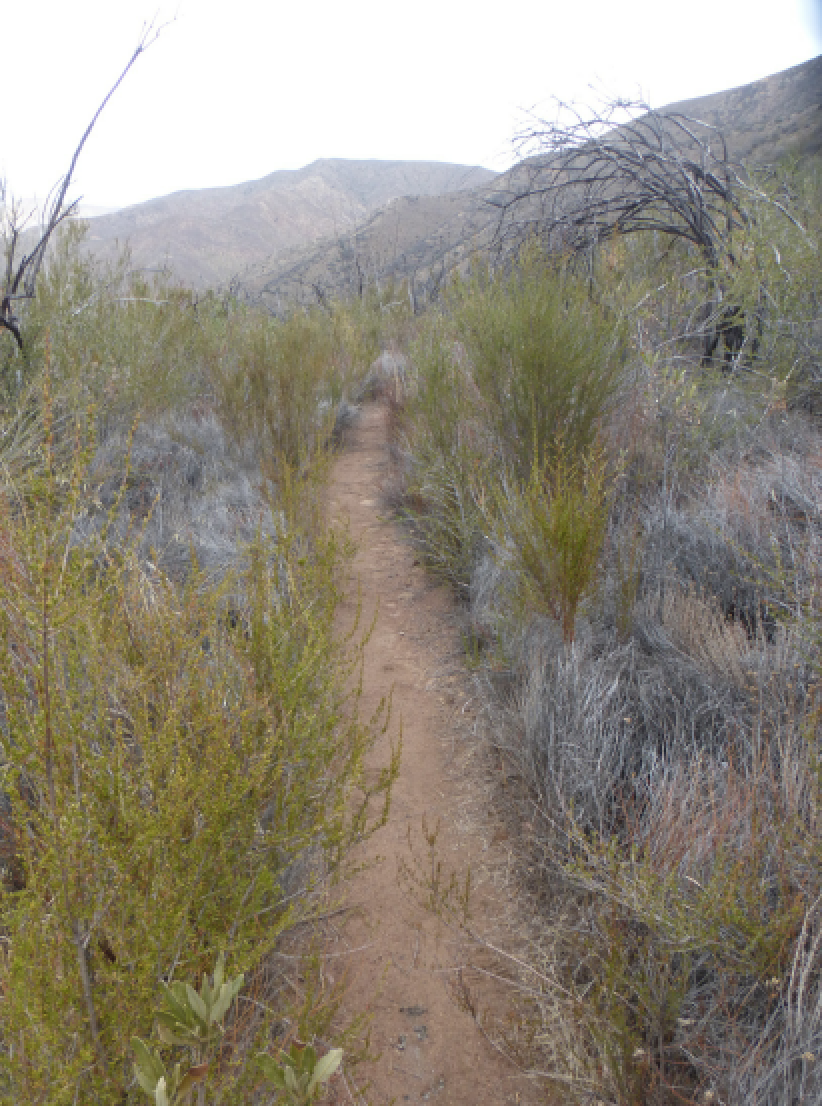
Brushy section between Fish and Ray's - photo Beckstrand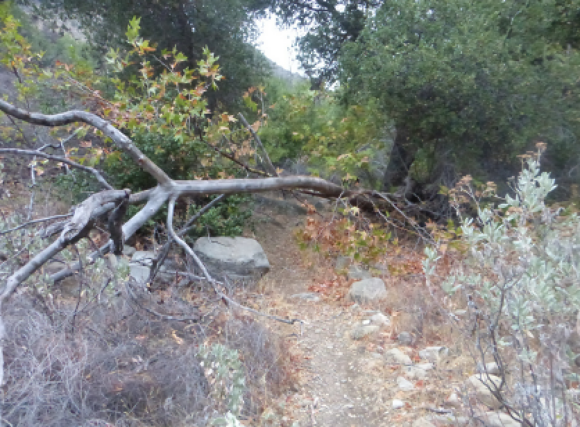
Downed tree before Manzana Camp - photo Beckstrand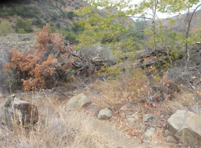
Downed tree before Ray's Camp - photo Beckstrand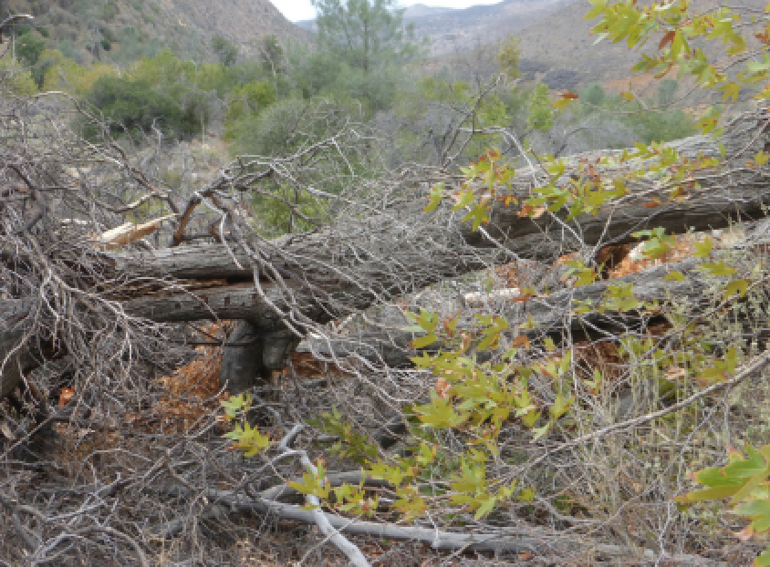
Closeup of tree at Ray's Camp - photo Beckstrand - Mcgill Trail Survey - 10-03-2015 - by Anonymous Surveyor
Link: Mcgill Trail Date: 10-03-2015 Surveyor Name: Anonymous Surveyor Trail description: From the trail head this was an elevation gain of 1,760 feet. We hiked and it was a gradual up hill hike. I didn't see any other hikers. Mostly mountain bikers. On the way up there must have been about 20 biker pass us.  On the way down we only had a couple pass us. This is not a trail I would recommend for first time hikers unless you are starting at McGill campground and walking down. Mode of transport: Hike Trail condition: Good shape and easy to follow Images: 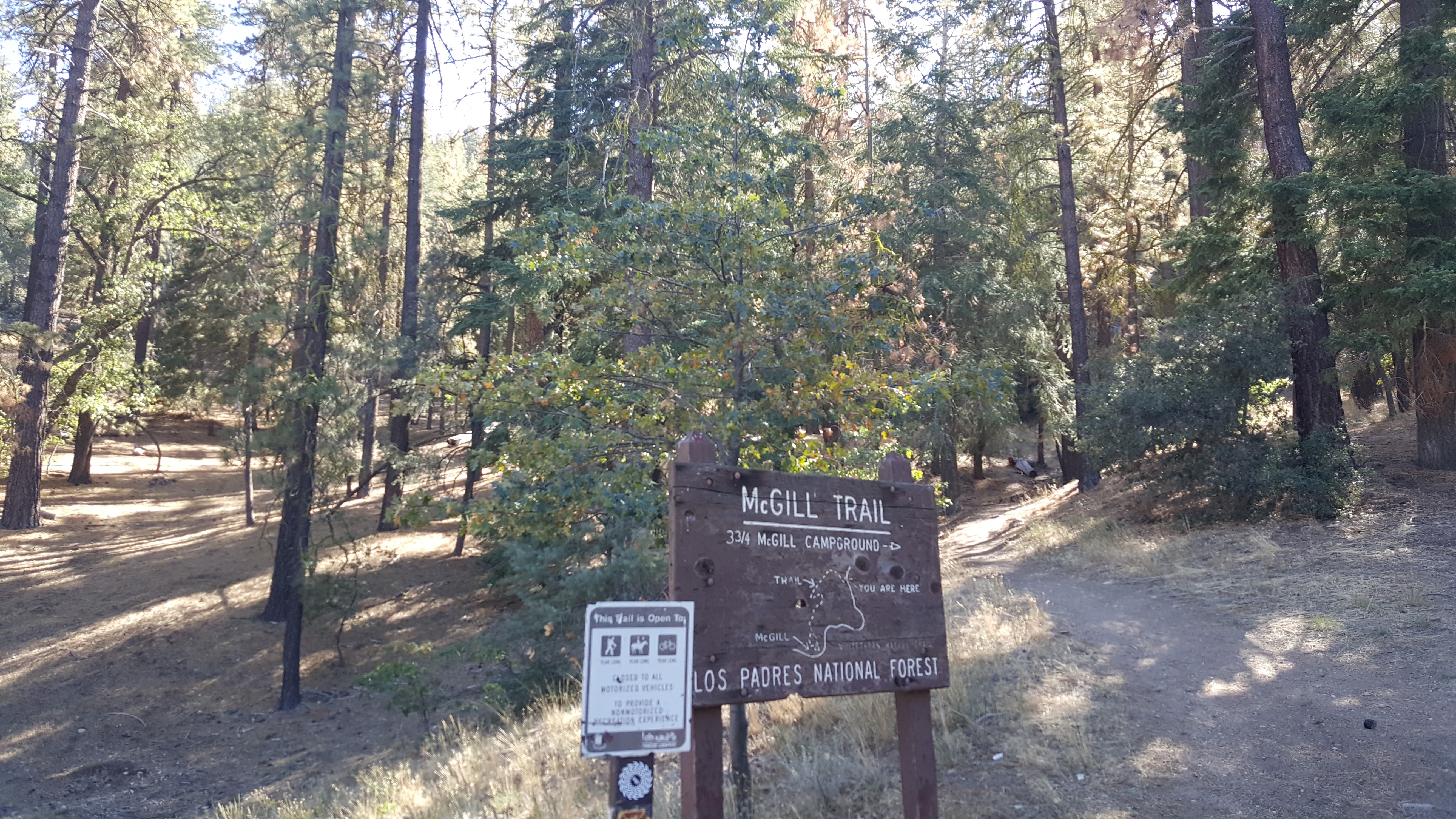
Trail head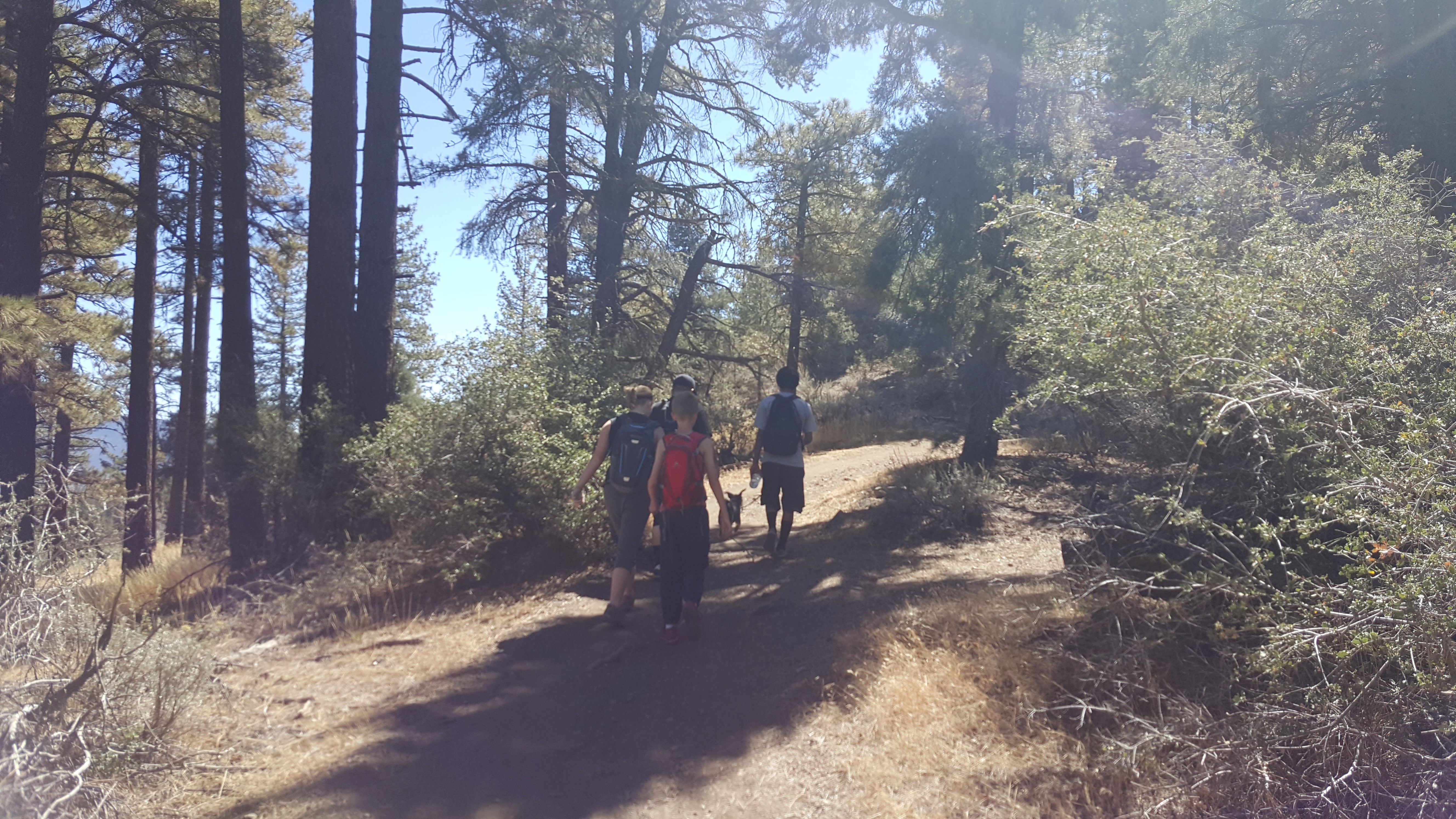
Trail Path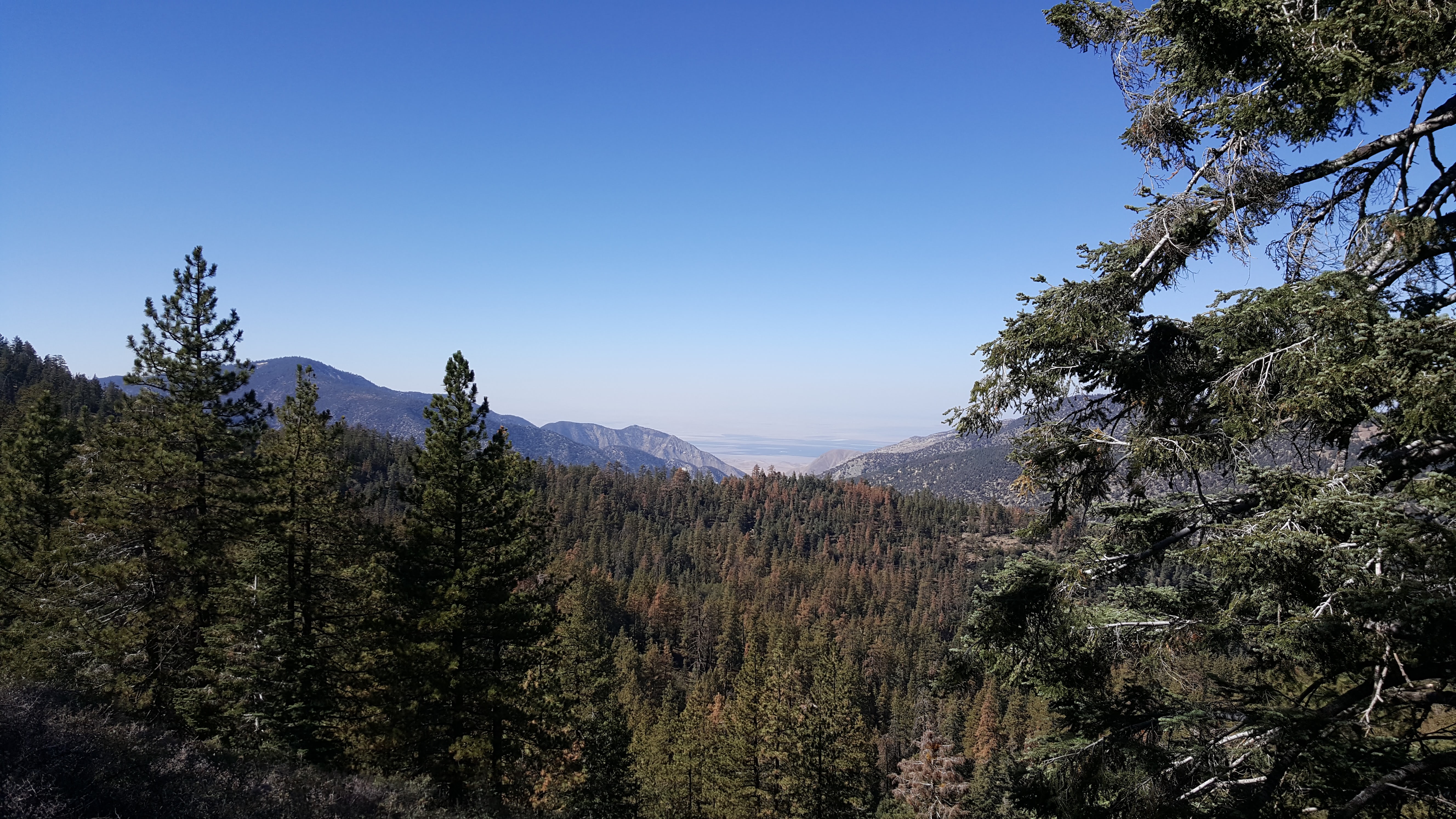
The View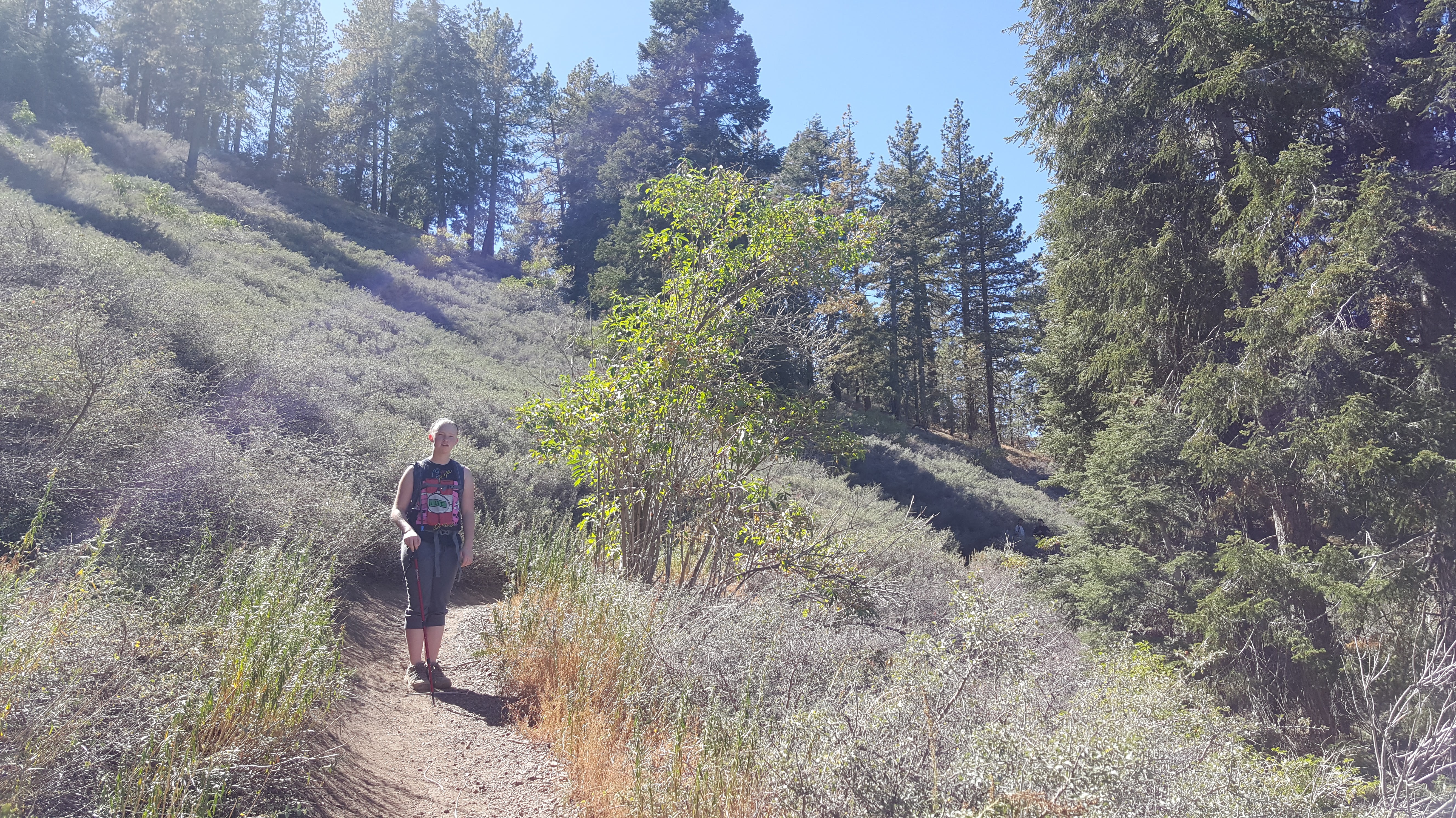
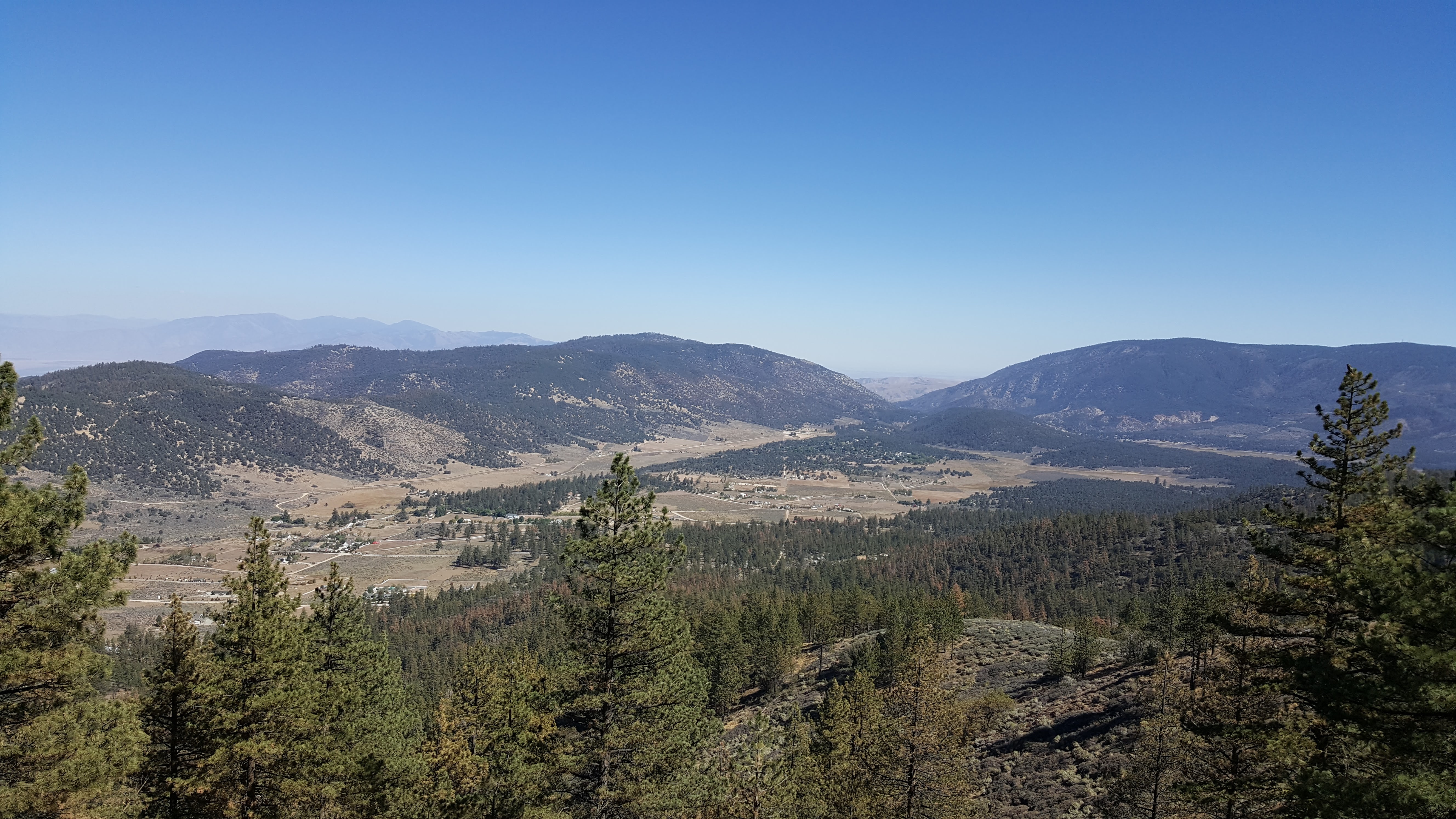
- Toad Springs OHV Trail Survey - 10-03-2015 - by RSO McCabe
Link: Toad Springs OHV Trail Date: 10-03-2015 Surveyor Name: RSO McCabe Trail description: The trail is in good condition till the old slide. There is a big oak tree down across the trail, it is passable by hikers but not stock. There is an old wooden trail sign marking the turn up and over the slide area. The trail is marked by too many ducks. Got to the junction and headed for Mesa Springs. Was close but running out of daylight and trail is very difficult to find at the turn off the mesa. Mode of transport: Hike Trail condition: Needs some work - Sespe River Trail Survey - 10-03-2015 - by Los Padres Forest Association
Link: Sespe River Trail Date: 10-03-2015 Surveyor Name: Los Padres Forest Association Trail description: Hiked from Piedra Blanca Trailhead down past Bear Creek. Â Trail is in great shape. Â The creek is not flowing but there are a few pools between Bear and PB if you know where to look. Â Beautiful day! Mode of transport: Hike Trail condition: Good shape and easy to follow Images: 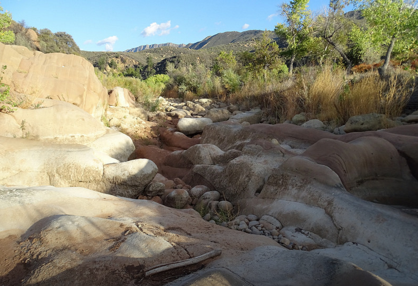
Dry pools upstream from Bear Creek, photo Benjamin Roudenis - Poplar Trail Survey - 09-27-2015 - by Los Padres Forest Association
Link: Poplar Trail Date: 09-27-2015 Surveyor Name: Los Padres Forest Association Trail description: LPFA VWR patrol from Bluff down to Indian Narrows. Â No water along entire stretch of trail but there was some water at the Narrows. Â Trail is hard to follow in places and we got off the trail a few times going in each direction. Â Work is certainly needed. Â The rose is thick at the moment as well. Mode of transport: Array Trail condition: Hard to follow Images: 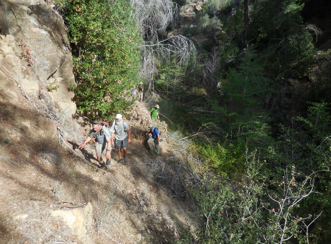
Photo Curt Cragg - Alamar Trail Survey - 09-27-2015 - by Los Padres Forest Association
Link: Alamar Trail Date: 09-27-2015 Surveyor Name: Los Padres Forest Association Trail description: LPFA Trail Project as part of National Public Lands Day on September 24-27 We worked the trail from Alamar Saddle down about 2 miles into the canyon. Â The trail beforehand was a mess of armor piercing spiny ceonothus. Â Over the course of the weekend we cut out 239 trees and brushed the trail to standard for approximately 1.5miles. Â Still more work is needed to make the trail perfect but we made a HUGE dent.ÂFuture trail projects are scheduled to continue work down the entire length of Alamar Canyon. Â Stay tuned and thanks to all the volunteers!Mode of transport: Array Trail condition: Needs some work Images: 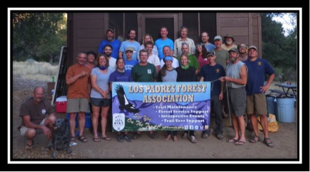
Happy volunteers at basecamp, Bluff Cabin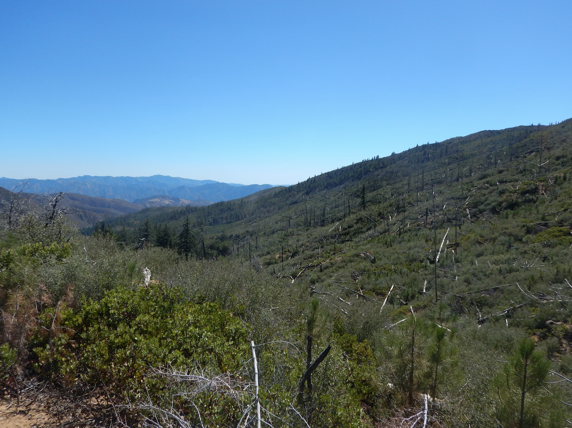
Alamar Canyon, showing the matchsticks of downed coulter pines and thick brush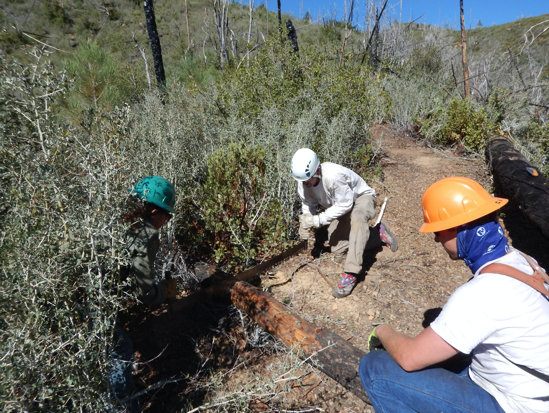
First we sent down sawyer teams, who cleared 239 trees from the trail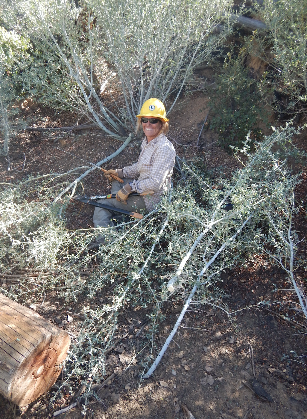
Next came the brushing and tread team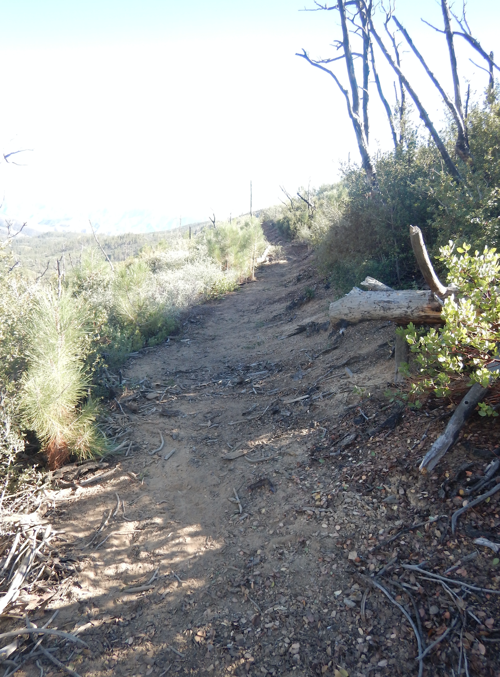
End result.... Boo yay! - Mt Pinos - Tumamait Trail Survey - 09-26-2015 - by Anonymous Surveyor
Link: Mt Pinos - Tumamait Trail Date: 09-26-2015 Surveyor Name: Anonymous Surveyor Trail description: The hike up to Mt. Pinos lookout was pretty easy and well kept. Our group ended up hiking to the Sawmill Peak. The trail was easy to follow until you turn off to go up to the peak.  There is a little pink flag and a some logs lining the turn off. Mode of transport: Hike Trail condition: Good shape and easy to follow Images: 
Start to Mt. Pinos
Trail path is wide and easy
Trail head to Tumamait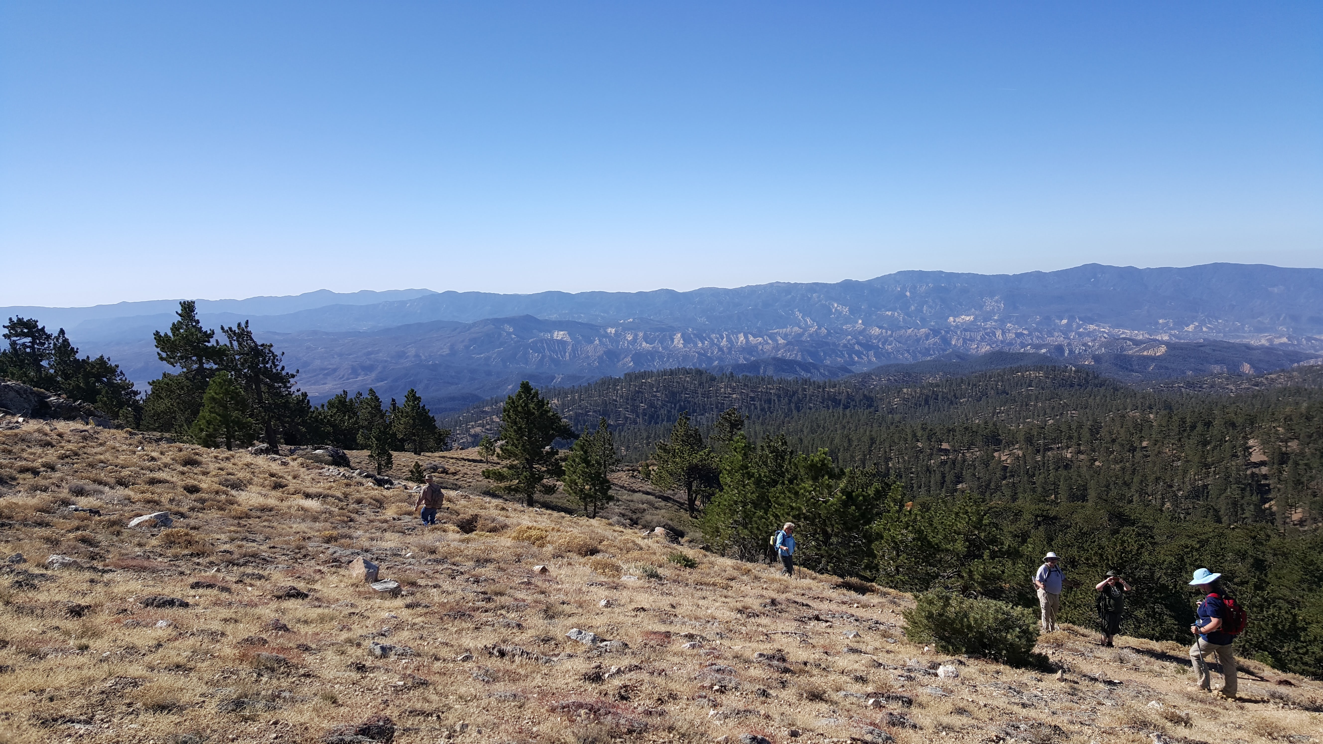
Small switchbacks down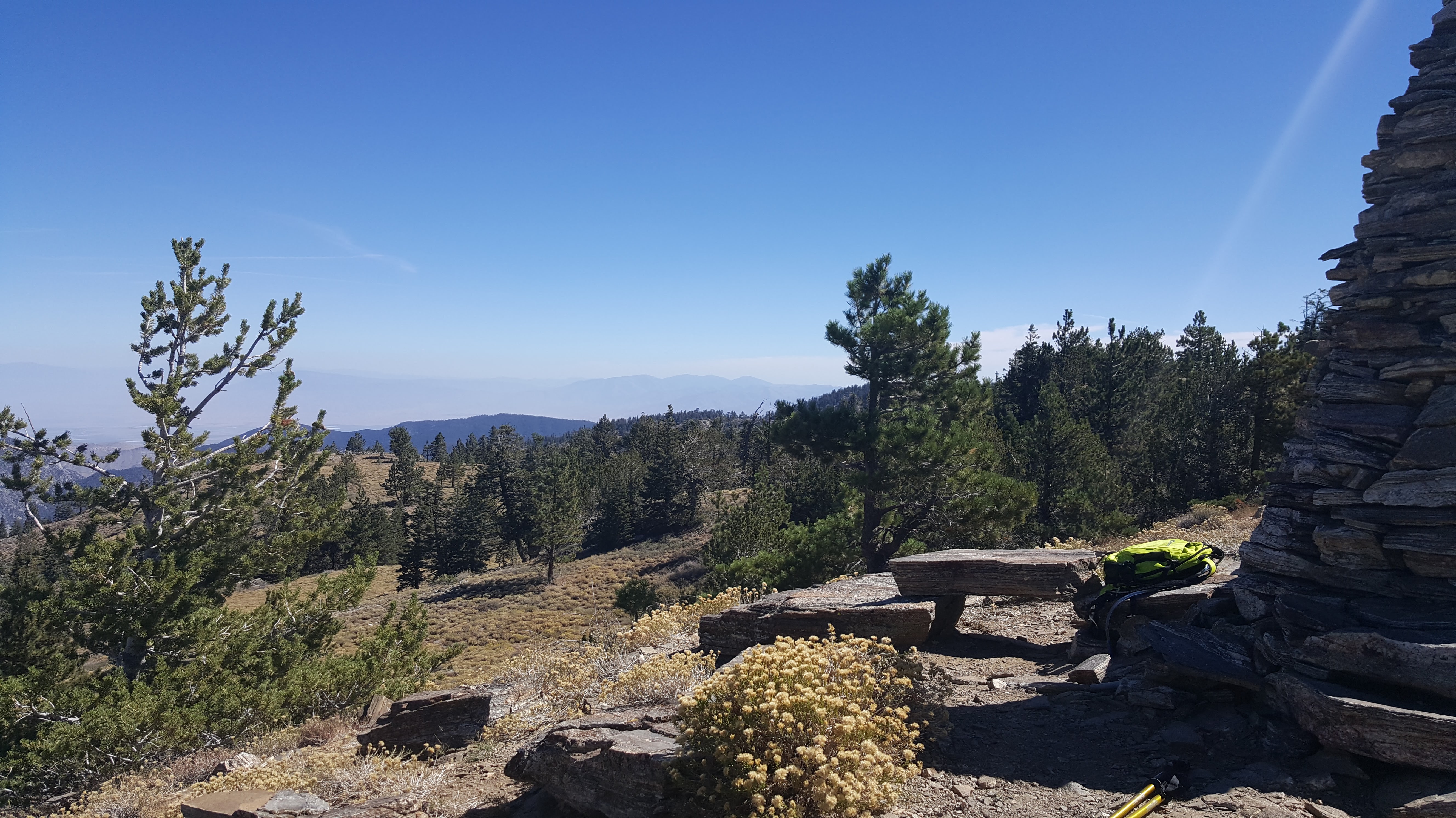
View from Sawmill Peak - Cold Spring Trail - North Survey - 09-26-2015 - by Los Padres Forest Association
Link: Cold Spring Trail - North Date: 09-26-2015 Surveyor Name: Los Padres Forest Association Trail description: National Public Lands Day project along Cold Spring Trail above Santa Barbara. Â Photo stream below from the Santa Barbara Multiuse Trails Coalition:https://picasaweb.google.com/109897793293855676170/NationalPublicLandsDay2015ColdSpringTrail?feat=directlink#Mode of transport: Array Trail condition: Good shape and easy to follow Images: 
Photo Santa Barbara Multiuse Trails Coalition - Sisquoc Trail Upper Survey - 09-25-2015 - by Los Padres Forest Association
Link: Sisquoc Trail Upper Date: 09-25-2015 Surveyor Name: Los Padres Forest Association Trail description: LPFA VWR Patrol to check on the work needed along the trail from Alamar Saddle down to Bear Meadow. Â There were about 4 downed trees, nothing massive. Â The work done by the earlier trail project was really good. Mode of transport: Array Trail condition: Needs some work Images: 
Rock water support along trail above Upper Bear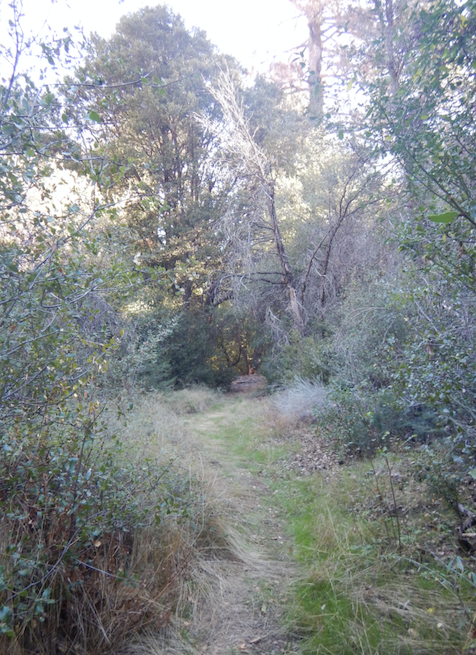
Trail Corridor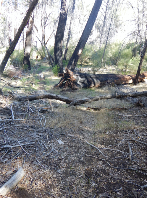
Downed Trees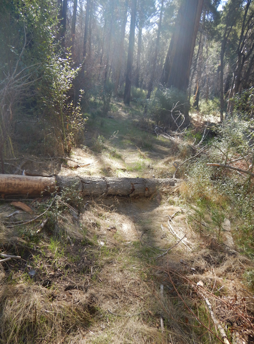
Downed Trees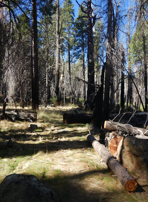
Downed Trees - Chorro Grande Trail Survey - 09-22-2015 - by Los Padres Forest Association
Link: Chorro Grande Trail Date: 09-22-2015 Surveyor Name: Los Padres Forest Association Trail description: Bardley of Ojai patrolled the Chorro Grande Trail after the Chorro Fire. Â Nature is doing her thing and there are new plants that are already over 24" tall, amazing. Â The trail was burned but not annihilated. Â Also surprisingly, there was some water pooled in parts of the creek. Â Sadly one of the large twin "sentinel" pines near the top is dead. Mode of transport: Array Trail condition: Needs some work Images: 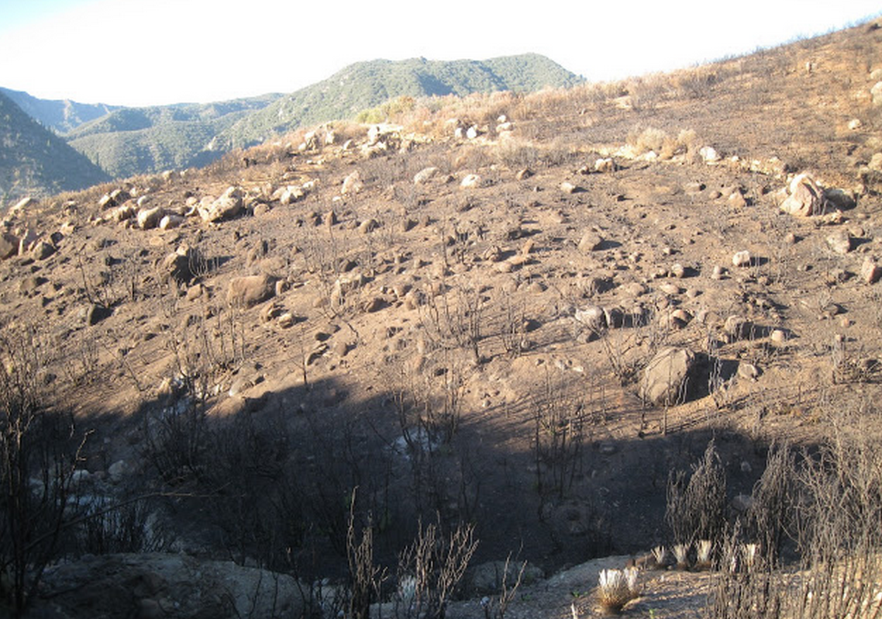
Photo Bardley of Ojai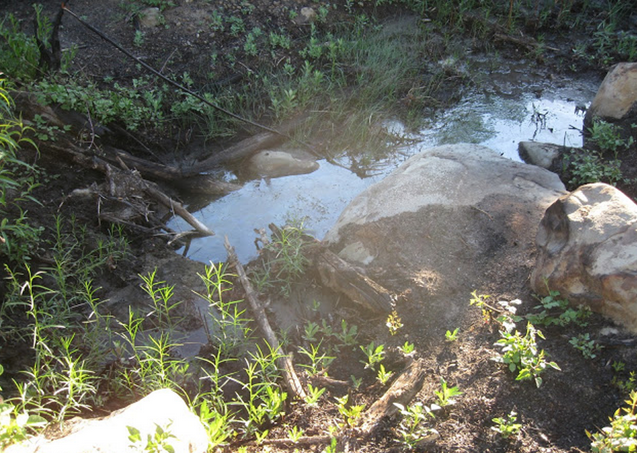
Photo Bardley of Ojai
Photo Bardley of Ojai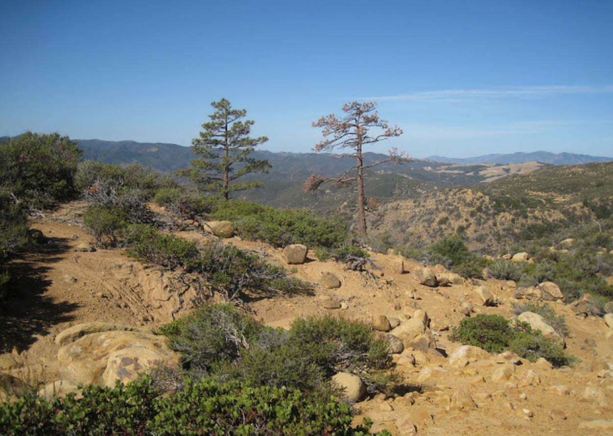
Photo Bardley of Ojai - Arroyo Burro Trail Survey - 09-19-2015 - by Los Padres Forest Association
Link: Arroyo Burro Trail Date: 09-19-2015 Surveyor Name: Los Padres Forest Association Trail description: The trail is pretty narrow at the moment with quite a bit of brush grabbing at you, at least compared to other front country trails.  There are three downed trees along the trail: Tree #1: 34.5123, -119.755This is the first tree you come across as you head down the trail, it is also the nastiest.  There is NO WAY for horses to pass through here and even a hiker is going to have to brave an off trail bypass that takes you directly through some thick poison oak.  Clearing the tree will involve loppers, a hand saw and a 3-4ft crosscut saw or chainsaw.Tree #2: 34.5227, -119.7597This is the second tree and it's hardly any obstacle at all.  Bikers might have to dismount to get around it but all other user groups can easily walk over it.Tree #3: 34.5254, -119.7594Similar to tree #2, this doesn't pose much of an obstacle but should be removed all the same.The LPFA will try to schedule a work project to focus on the trail in the coming weeks/months.  It would be good to drop the volunteers off at the top and have them walk down while they work.  Pick them up at the bottom 2hrs later.  Stay tuned for updates.........Mode of transport: Bicycle Trail condition: Needs some work Images: 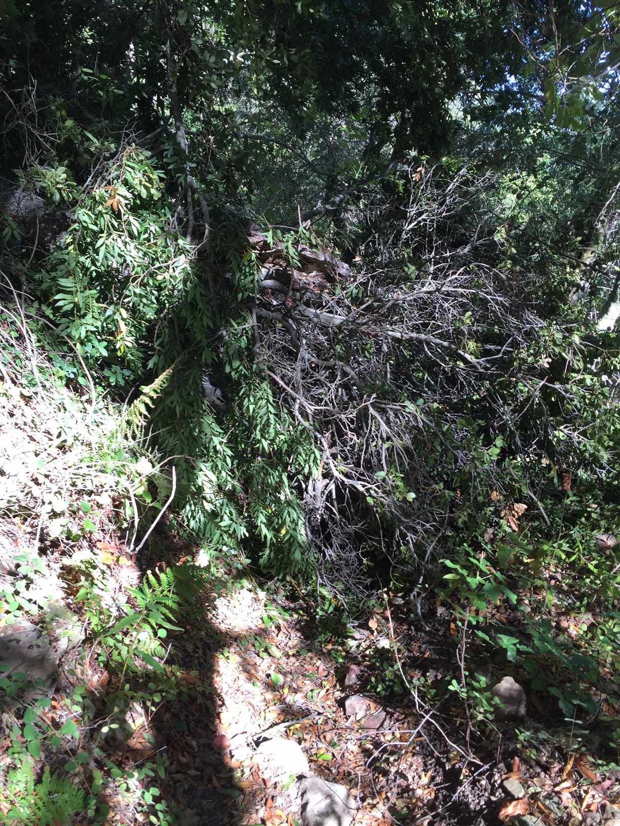
Tree #1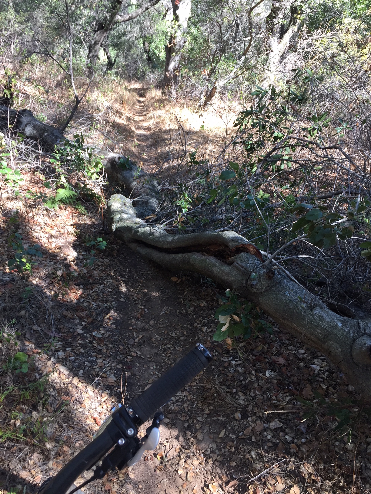
Tree #2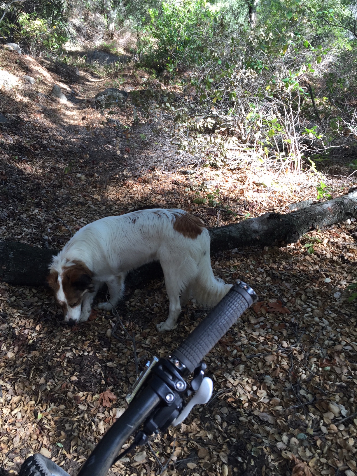
Tree #3 - Boulder Canyon Trail Survey - 09-13-2015 - by Chester
Link: Boulder Canyon Trail Date: 09-13-2015 Surveyor Name: Chester Trail description: I started at Ozena station and made it up to the woodland but not as for as the spring. The trail was easy to follow but a little lose and narrow at certain sections. It may have been a little harder to traverse if I had more than a day pack on.
Great trail, great views.
Mode of transport: Hike Trail condition: Good shape and easy to follow - Sisquoc Trail Upper Survey - 09-06-2015 - by LKasko
Link: Sisquoc Trail Upper Date: 09-06-2015 Surveyor Name: LKasko Trail description: We walked only a few miles, from Heath camp to Skunk camp. Just E of Skunk camp there was a washed-out dry crossing which, despite 2 plastics hung, was confusing. Closer to Mansfield than to Skunk, there was water at a stream crossing which went underground immediately both up and downstream. Near Mansfield, there was a downed tree on the E side of the river just before a dry stream crossing when headed W. E of Mansfield, from the high bluff above the river, I could see water below. Mode of transport: Hike Trail condition: Good shape and easy to follow Images: 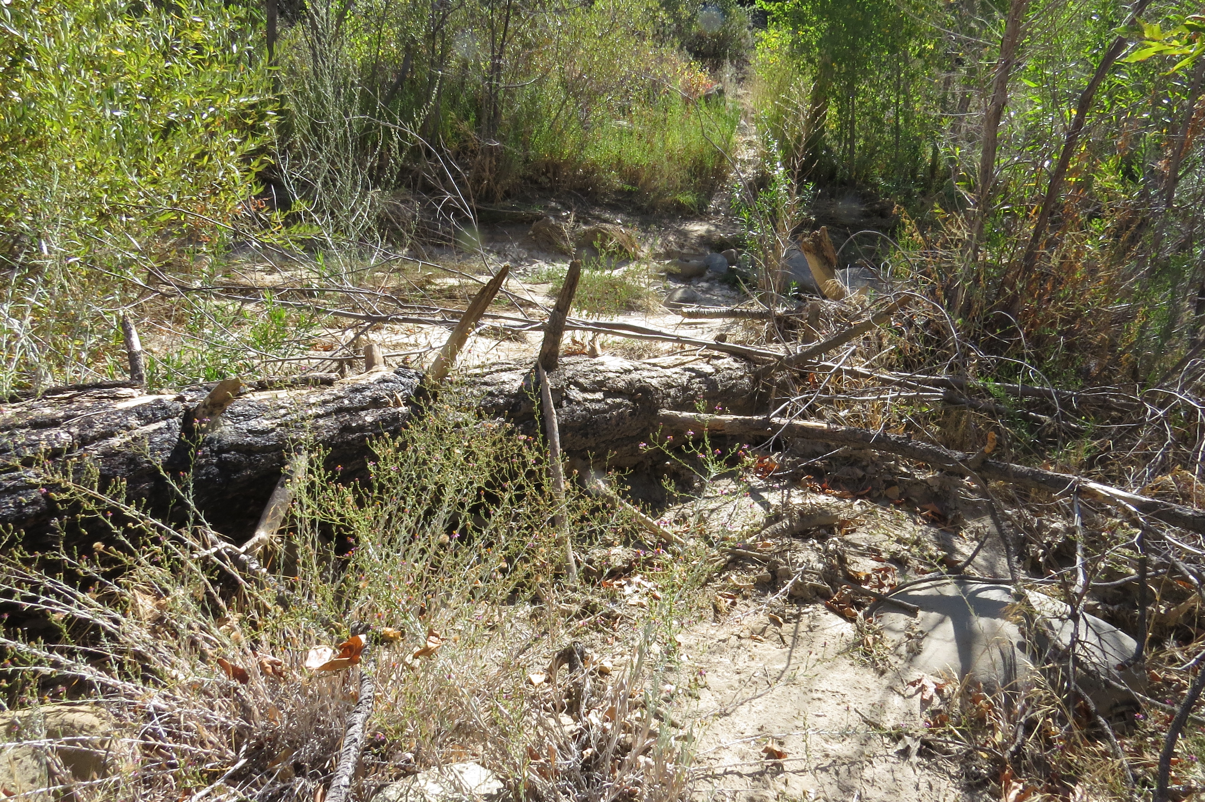
downed tree near Mansfield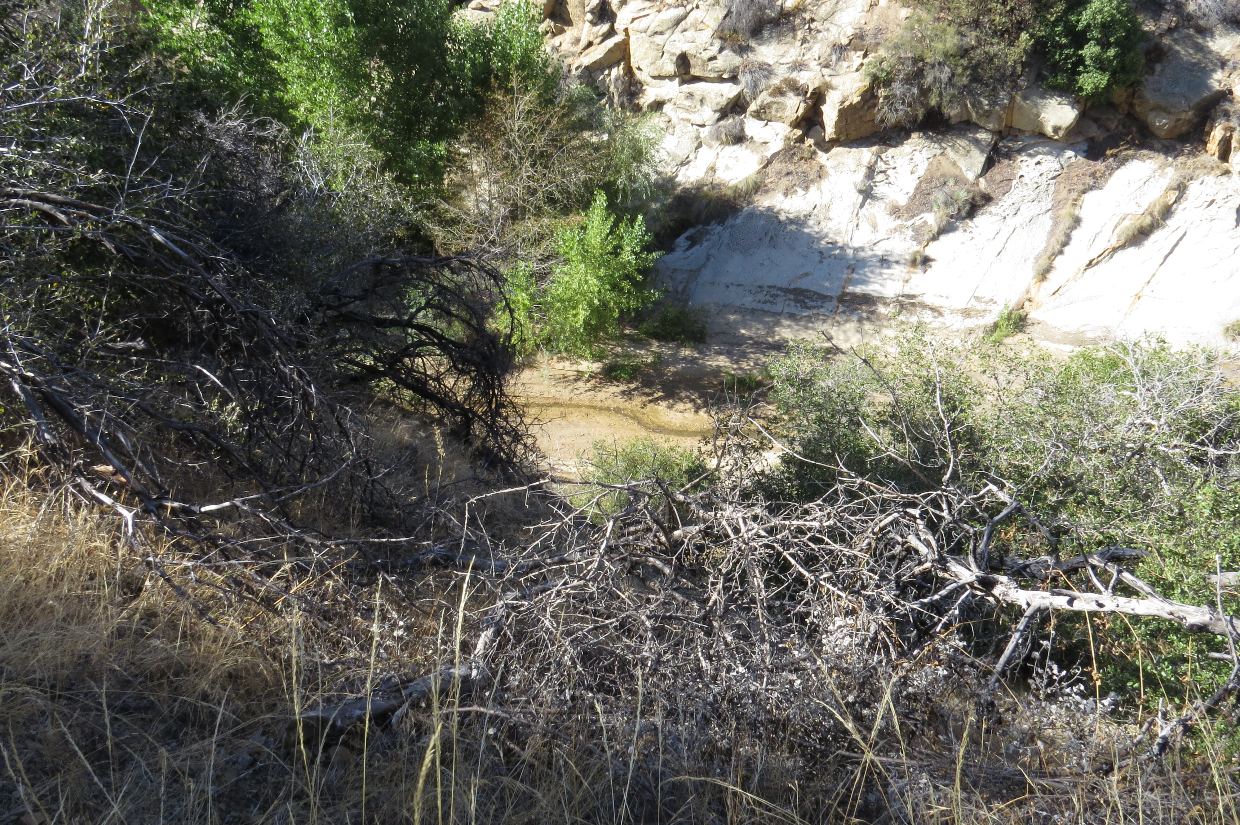
E of Mansfield, water below - Judell Trail Survey - 09-05-2015 - by LKasko
Link: Judell Trail Date: 09-05-2015 Surveyor Name: LKasko Trail description: Beautiful trail! Thanks for all the maintenance. No trouble following the trail; had to look around from Oak Spring (dry) but picked out the trail easily. Good signs. Walked down the canyon on Saturday, Sept 5, and back up on Monday, Sept 7. At Heath camp found good water in a fairly deep pool (about 1 foot+ deep) about 100 yds downstream from Heath. There was also scummy water in the Judell canyon, most noticeably at the 4th trail crossing of the canyon stream north of Heath camp (photo below.) Mode of transport: Hike Trail condition: Good shape and easy to follow Images: 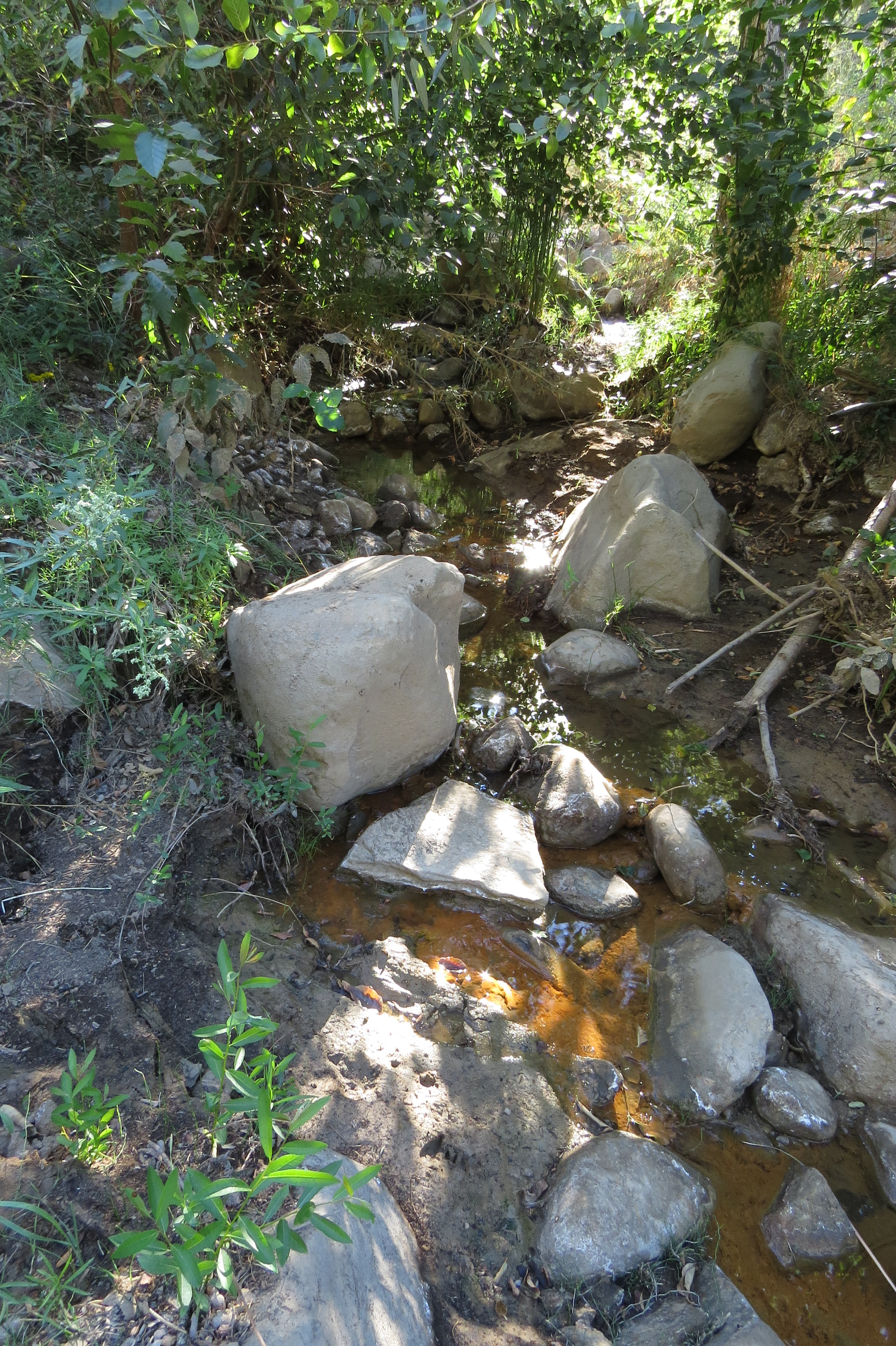
Judell Canyon water at 4th trail crossing north of Heath Camp. Small amount but plenty for a good filter.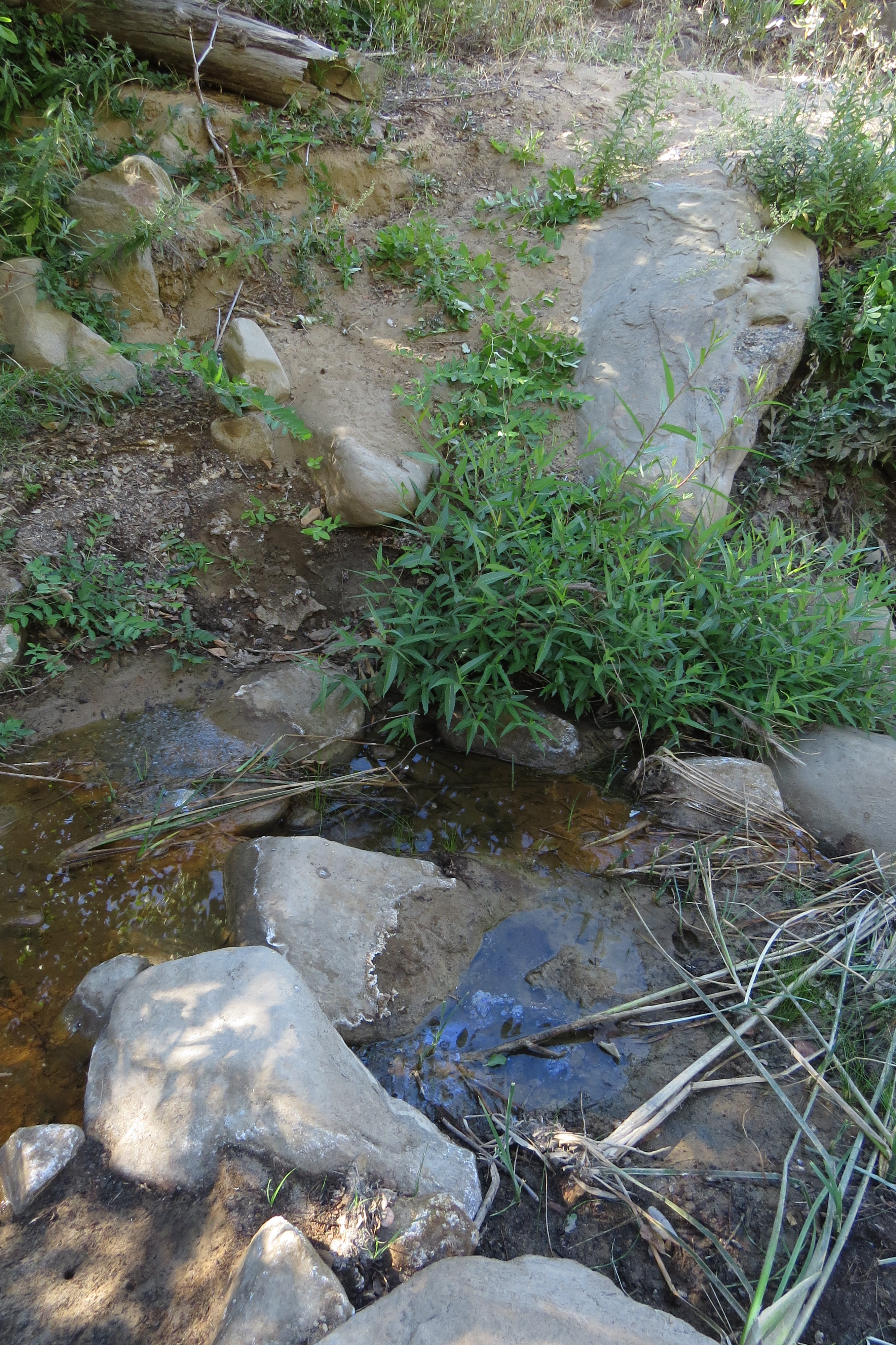
Same as above: Judell Canyon water at 4th crossing north of Heath.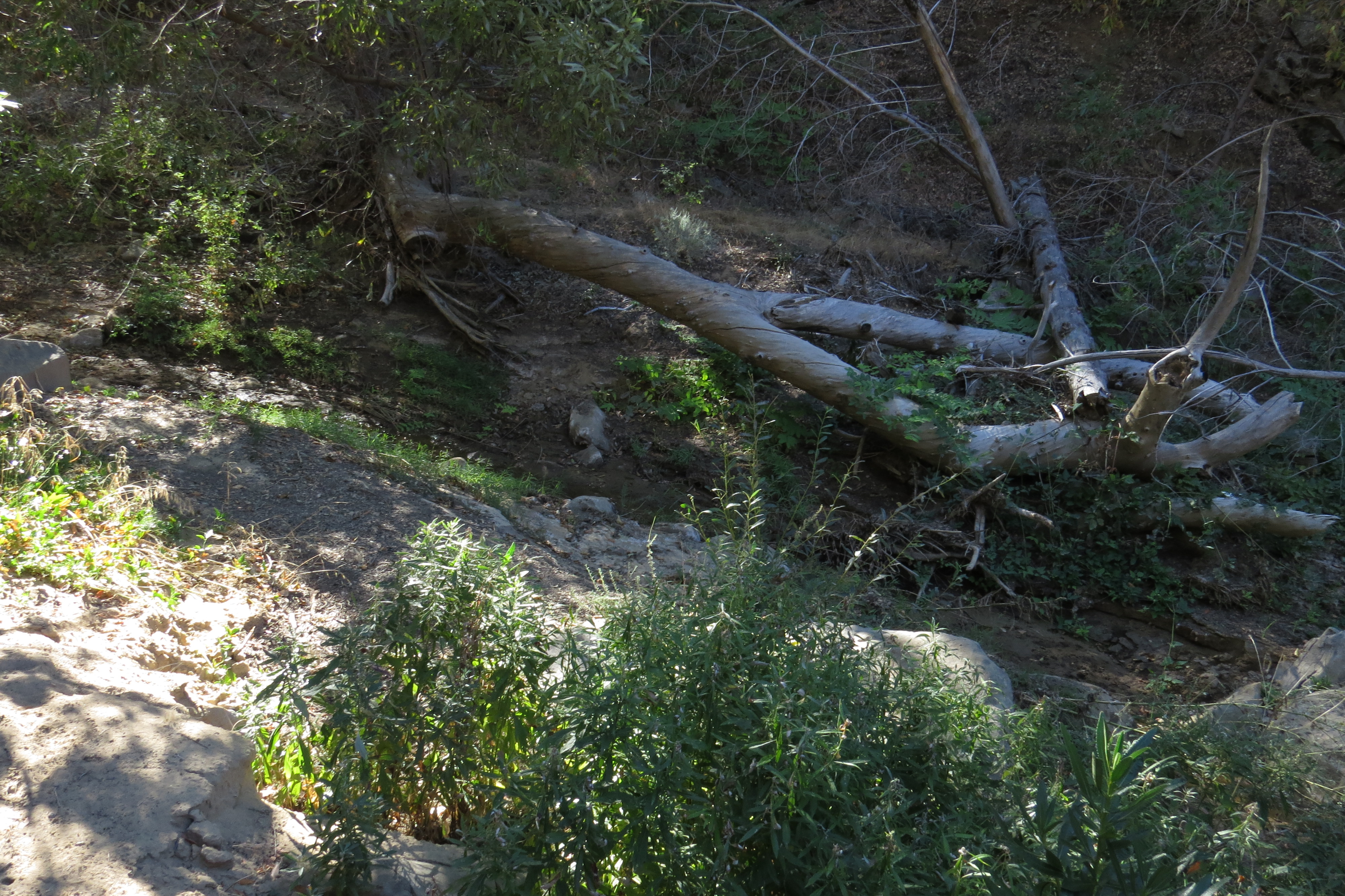
Judell Canyon: some water, shallow, a short distance farther north than previous photos, visible from trail.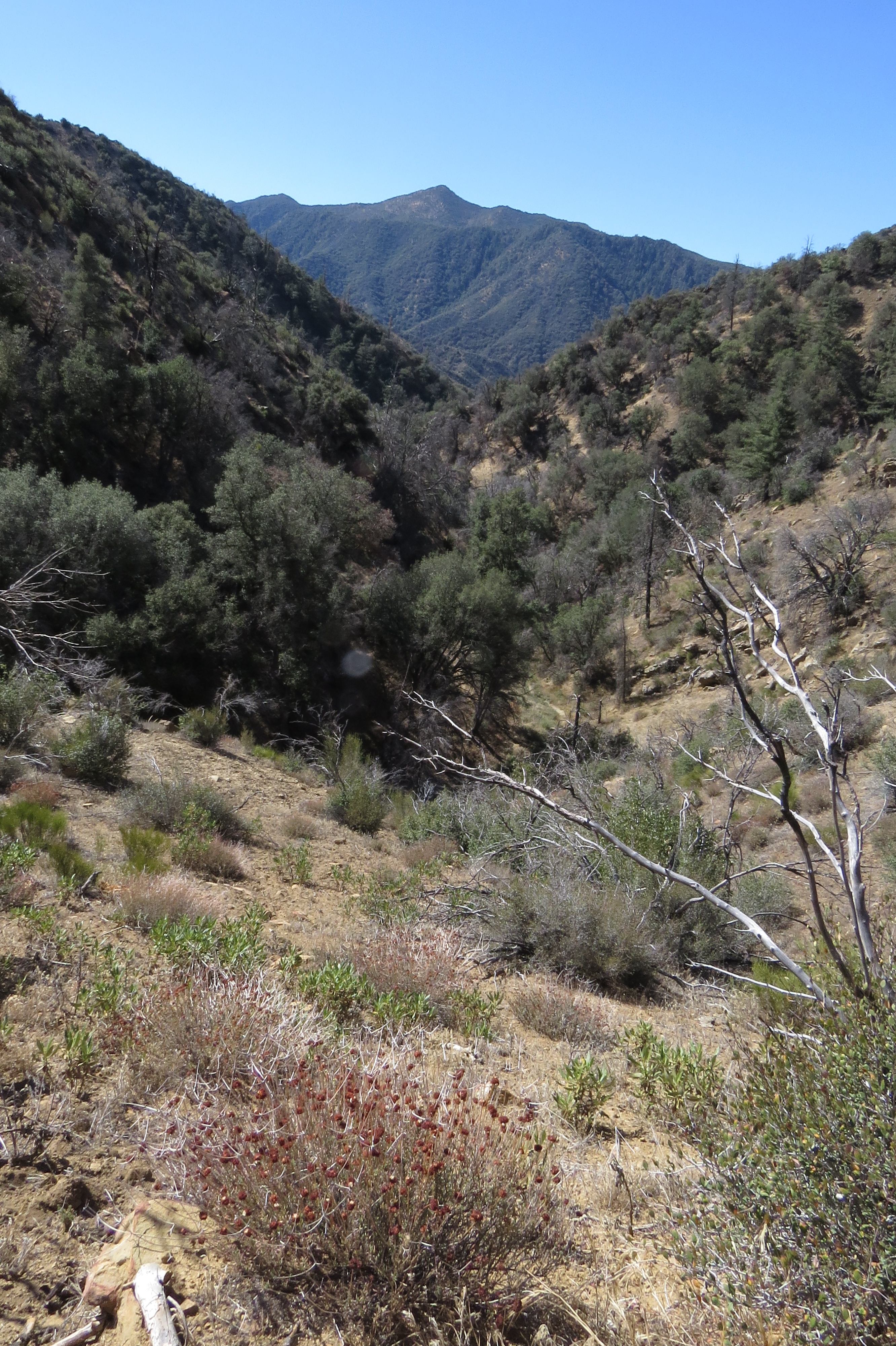
Photo of the Judell Canyon while walking the trail. - Mcgill Trail Survey - 08-23-2015 - by Hike Los Padres
Link: Mcgill Trail Date: 08-23-2015 Surveyor Name: Hike Los Padres Trail description: The McGill Trail is in perfect shape for mountain biking, the well built banks on each of the turns allow you to flow around the corners without hitting the brakes. I rode from McGill camp to the trail head on Cuddy Valley Road. If you have not ridden this trail yet, I highly recommend this trail to anyone interested in finding a new Mountain Biking Trail. Mode of transport: Bicycle Trail condition: Good shape and easy to follow - Chorro Grande Trail Survey - 08-12-2015 - by Los Padres Forest Association
Link: Chorro Grande Trail Date: 08-12-2015 Surveyor Name: Los Padres Forest Association Trail description: The Chorro Fire was started on August 2, 2015 near the Hwy 33 Trailhead. Â The fire burned 282 acres over the next 10 days until it was 100% contained on August 12. Â More information can be seen here:
Mode of transport: Array Trail condition: Needs some work Images: 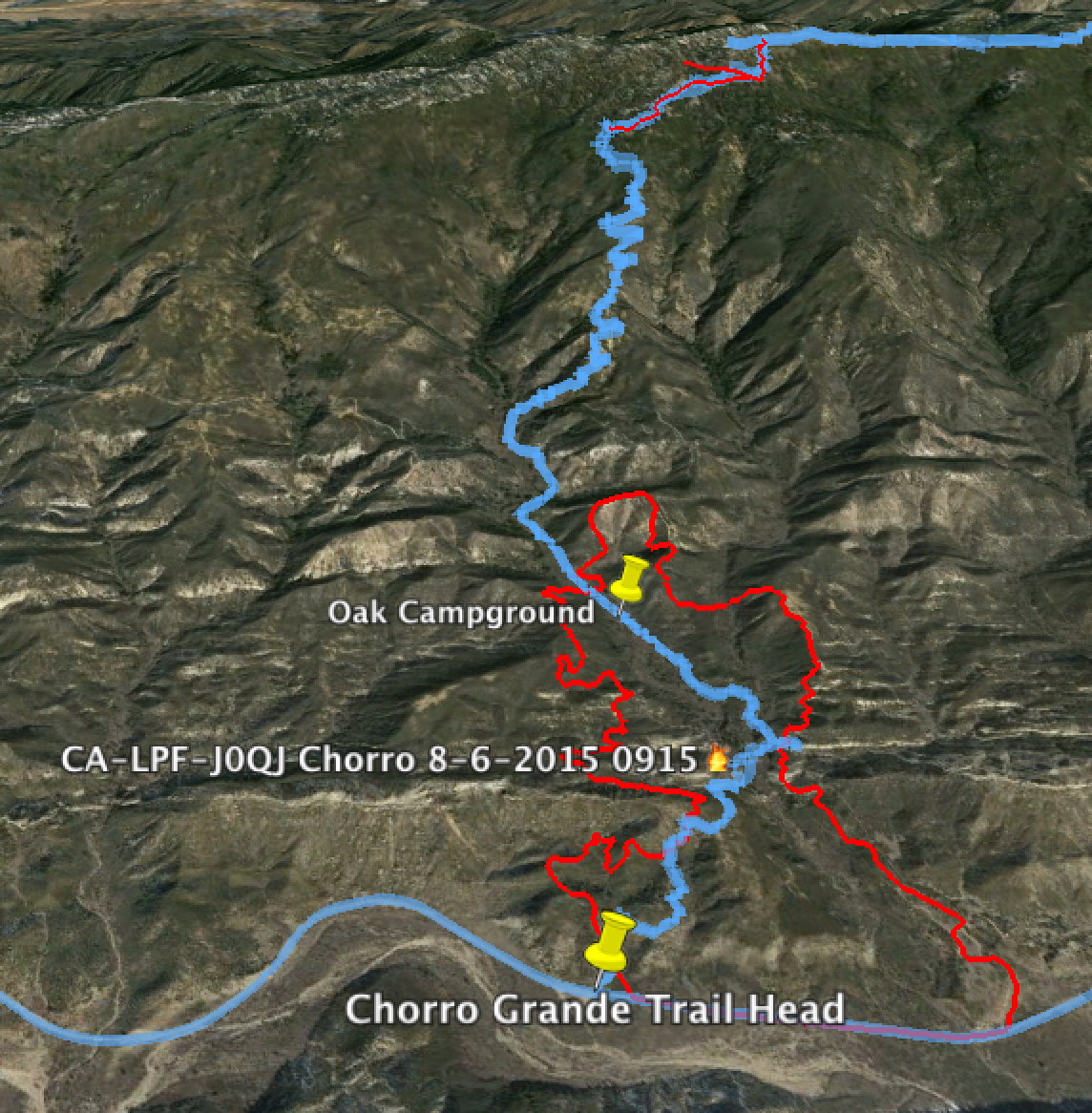
Chorro Fire Perimeter Showing Chorro Grande Trail and Pine Mountain - Buckhorn Trail Survey - 08-09-2015 - by Chris Ferrier
Link: Buckhorn Trail Date: 08-09-2015 Surveyor Name: Chris Ferrier Trail description: The LPFA trail work in May was obvious. Some of the cuttings, however were in the middle of the trail. As with any LP trail, additional brush clearing would be a be a help. We were grateful for the work that was done. It was clear that this was a big effort.
No water along the Buckhorn between the Indian Trailhead and Lower Buckhorn.
Mode of transport: Hike Trail condition: Needs some work - Ortega OHV Trail Survey - 08-08-2015 - by Phil Pulley
Link: Ortega OHV Trail Date: 08-08-2015 Surveyor Name: Phil Pulley Trail description: Ortega Trail is maintained by the "Ojai Valley Dirt Riders" a motorcycle club that was founded and organized for the sole purpose of keeping Ortega Trail open year round for the adventurous riders who enjoy it's many challenges. We have since branched out to help with OHV trail maintenance in other areas of the Los Padres National Forest. From the South the Ortega Trailhead is 1.5 miles north of Wheelers Campground/Visitor Center on Hwy 33. This single track motorcycle trail is 6 miles long (up to the Ortega Camp Site) and has sections that are very steep, rough and rocky making it very deserving of it's black diamond (advanced rider only) status. Beyond the Ortega Camp Site the remaining 3 miles of trail is an old jeep road that is currently only open to motorcycles and should be Ok for intermediate level riders who would need to access the trail from the North Trailhead via Cherry Canyon Road (3 miles long).  The North Ortega Trailhead is at the end of Cherry Canyon Road.  Cherry Canyon Road is off of Hwy 33 just South of the old Pine Mountain Inn.  Ortega Camp is a remote rustic camp site that has 5 metal fire rings and 2 picnic tables but one of two tables is in very bad shape and not of much use.  The trail and camp are open and useable at this time.
Intersecting hiking trails: Dry Lakes Ridge Trail and Matilija Canyon Trail.Â
Mode of transport: O.H.V. Trail condition: Good shape and easy to follow Images: 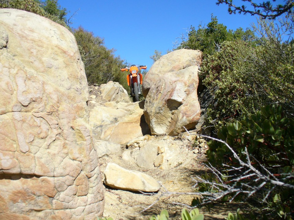
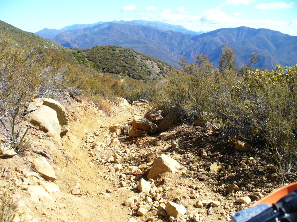

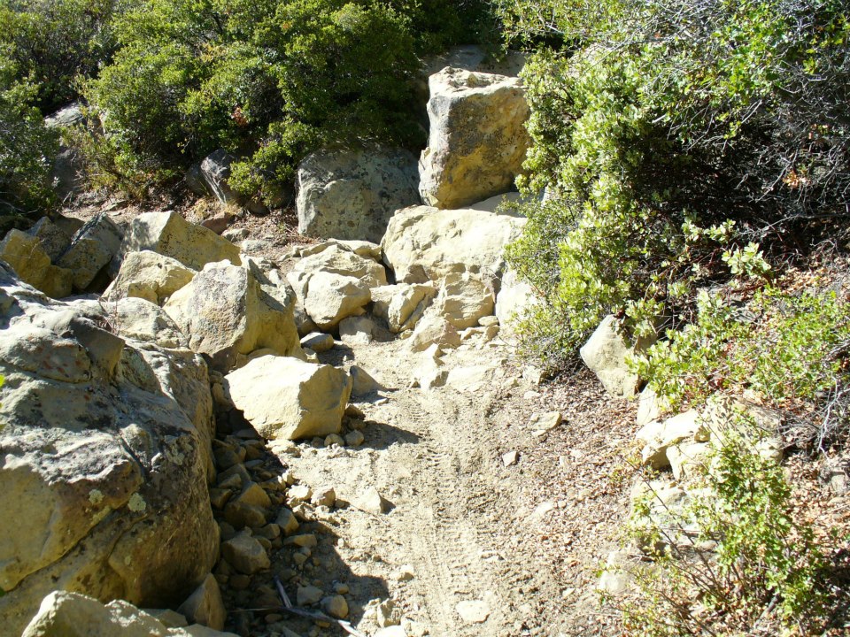
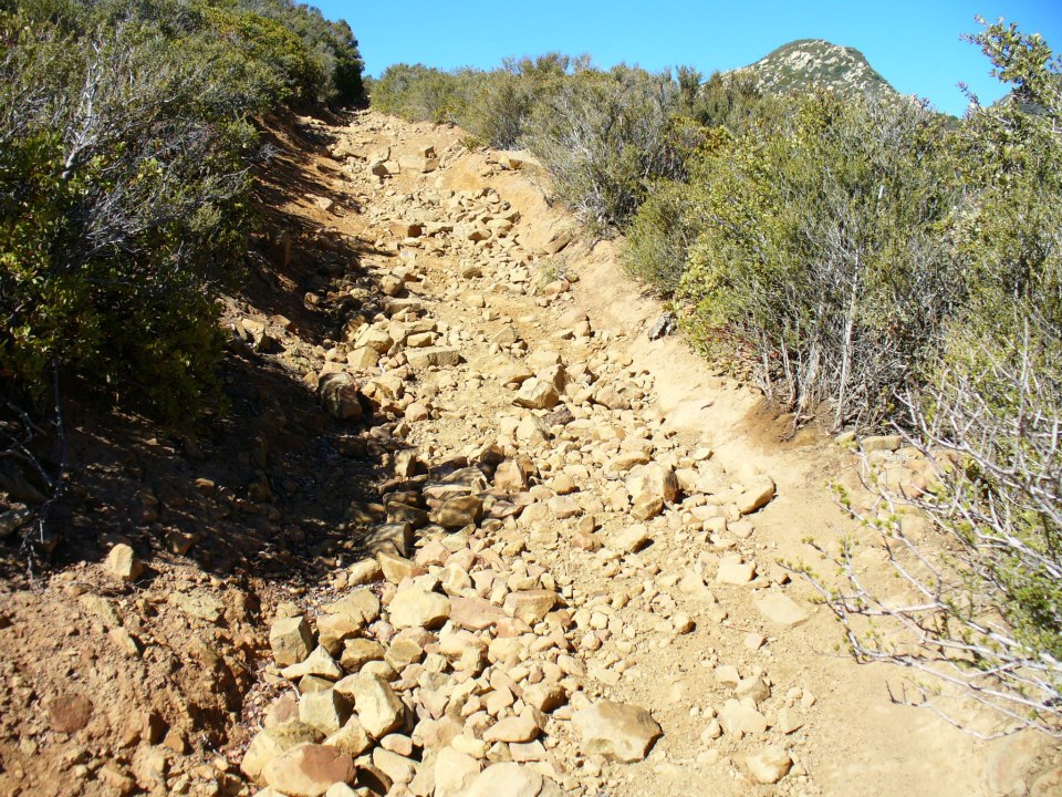
- Middle Sespe Trail Survey - 07-26-2015 - by Donna Spencer
Link: Middle Sespe Trail Date: 07-26-2015 Surveyor Name: Donna Spencer Trail description:     Well here we go again, off on another beautiful hike when the dreaded monster of plants take charge. I was enjoying the expansive views when I dropped into Rainbow Valley and the sage brush plant obscured the trail. Then when climbing through a knoll, jest before the only major climb, ran into 6' to 7' overgrowth of plants. So I turned around and went back to the Sespe Trail Head at Rose Valley.  However I will make another trip and try this hike from Highway 33. Overall this was a beautiful hike, I am just threating to bring a battery powered hedger and take care of business. Mode of transport: Hike Trail condition: Needs some work Condition details: Just passed Rainbow Valley 6' to 7' tall plants overgrown on the trail (at the knoll). - Lopez Canyon Trail Survey - 07-26-2015 - by Anonymous Surveyor
Link: Lopez Canyon Trail Date: 07-26-2015 Surveyor Name: Anonymous Surveyor Trail description: The 1-06-15 report should be 7/26/15 Mode of transport: Hike Trail condition: Needs some work Condition details: The 1-06-15 report should be 7/26/15 - Rinconada Trail Survey - 07-18-2015 - by Los Padres Forest Association
Link: Rinconada Trail Date: 07-18-2015 Surveyor Name: Los Padres Forest Association Trail description: VWR Sandy and Bill removed a fallen tree from the trail. Â Very hot day, many of the oaks are showing stress from the drought. Mode of transport: Stock Trail condition: Needs some work Images: 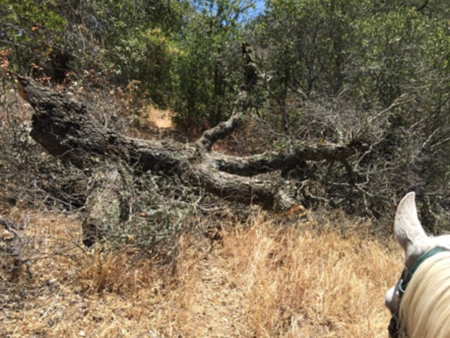
Photo Bill and Sandy - Kirk Creek Trail Survey - 07-18-2015 - by Jesse Williams
Link: Kirk Creek Trail Date: 07-18-2015 Surveyor Name: Jesse Williams Trail description: The trailhead is right outside the Kirk Creek campground and is easy to follow. A few things to note:The distances listed may be misleading. We had a Fitbit that read around 4 miles when we reached the first campground (Esperonsa).The first water on the trail was about 1/4 mile up from this campground and is a small trickle across the trail which I was easily able to fill up my camelbak with.Most of the upper part of the trail is lined with poison oak so pants are a must. Other than that, it's very clear with only a couple of small rocks that you have to step over.Mode of transport: Hike Trail condition: Good shape and easy to follow - Buckeye Trail Survey - 07-17-2015 - by Los Padres Forest Association
Link: Buckeye Trail Date: 07-17-2015 Surveyor Name: Los Padres Forest Association Trail description: Below is an article from the Monterey County Weekly about a Summer 2015 backpack along the Buckeye Trail. Â Worth a read if you are looking at this trail: http://www.montereycountyweekly.com/blogs/monterey-naturally-part-v-a-night-beneath-the-stars-on/article_87184dba-2b50-11e5-9898-9b23670a0ecc.htmlMode of transport: Hike Trail condition: Good shape and easy to follow - Rancho Nuevo Trail Survey - 07-12-2015 - by Donna Spencer
Link: Rancho Nuevo Trail Date: 07-12-2015 Surveyor Name: Donna Spencer Trail description:     Well if your into geology I firmly believe you'll love this on. The canyon walls speak with strata folds and castle like structures. The first section from Rancho Nuevo Campground to Deal Junction was not a concern. However once passed Deal you'll have to bring your patience. I only got maybe a mile passed Deal when I had to give up DUE TO HEAVY WILD ROSE BUSHES clogging the trial, which was about hip high. I am sorry I did not want to end up as nature's pin cushion. Bu overall was a great hike full of solitude and geological interest. The Canyon floor is covered with wide array of plant life, however the Zaca Fire did scare parts of the canyon walls. If you don't have 4wheel drive vehicle like I did plan on an extra 1.5 miles of un-shaded fire road to campground. Mode of transport: Hike Trail condition: Needs some work Condition details: This trail from Deal to Upper Rancho will need some heavy WEED WRACKING due to overgrown WILD ROSE BUSHES. - Sisquoc Trail Upper Survey - 07-12-2015 - by Los Padres Forest Association
Link: Sisquoc Trail Upper Date: 07-12-2015 Surveyor Name: Los Padres Forest Association Trail description: LPFA 3-day trail project to clear the trail from Alamar Saddle down to Lower Bear. Â We removed 20 trees, including one very large one that was causing a substantial reroute and erosion concerns. Â We also spent a substantial amount of time clearing the trail through the ceonothus jungle just upstream from Bear Camp. Â Trail is in good shape. Water was found at Upper Bear and Lower Bear, no water at Bear Camp.Mode of transport: Array Trail condition: Good shape and easy to follow Images: 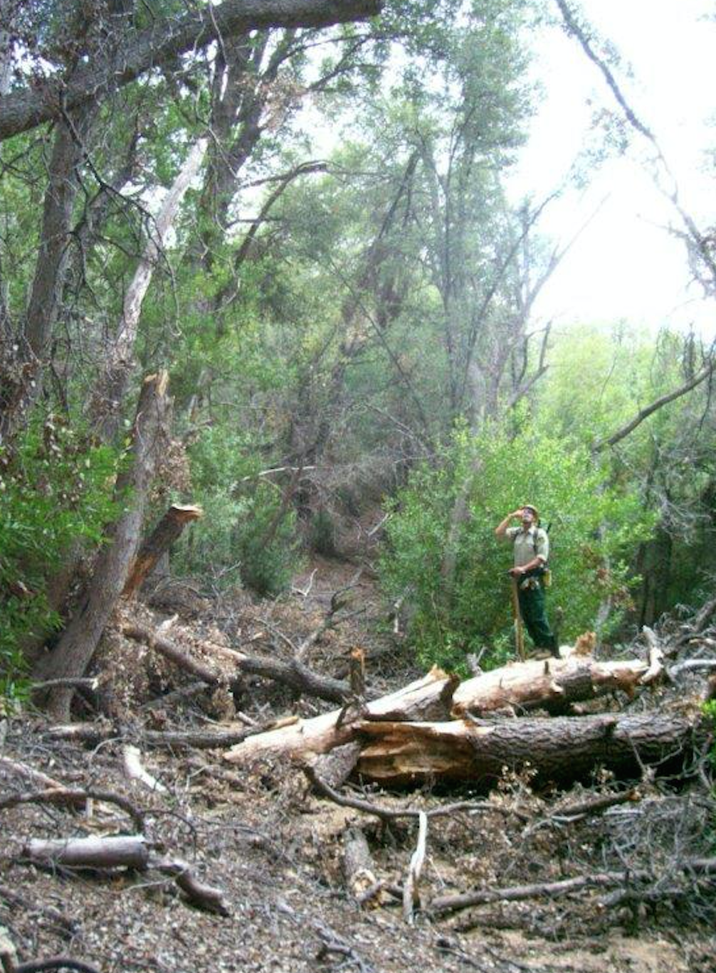
The big tree BEFORE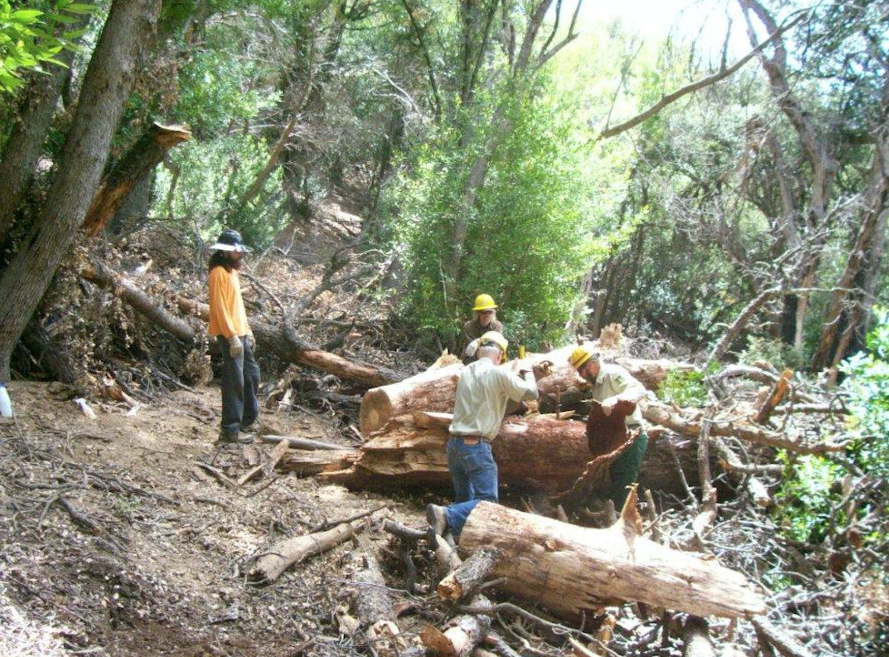
The big tree DURING
The big tree AFTER
Some more cleared trees
The trail project base camped at Alamar Camp - Deal Connector Trail Survey - 06-29-2015 - by Volunteer Wilderness Ranger
Link: Deal Connector Trail Date: 06-29-2015 Surveyor Name: Volunteer Wilderness Ranger Trail description: Super volunteer Mickey cut out three trees along the Deal Connector Trail. Â The trail is clear from Hwy 33 to Bear Trail. Â The trail could use some brushing but is in great shape. Mode of transport: Array Trail condition: Good shape and easy to follow - Thorn Point Trail Survey - 06-27-2015 - by Donna Spencer
Link: Thorn Point Trail Date: 06-27-2015 Surveyor Name: Donna Spencer Trail description:  From start to finish this hike has a little bit of everything. This hike was great for geology / plant life / and ever changing views. This hike also is a great workout, straight up ever changing switch backs. The tower area can serve as a great overnight camp site. I did see that previous overnighters have used the old water tank base as a fire pit. I also saw a well used shovel and broom on the side of the tower supply shed. Just be careful numerous rusted nails and broken glass in the area. However you will be treated to a Gods Eye View of the area from the tower. This one is must hike trail. Further do bring water (due to water in the creek has a heavy alkali presence and extremely dry past the creek. Mode of transport: Hike Trail condition: Good shape and easy to follow - Fishbowls Trail Survey - 06-25-2015 - by Donna Spencer
Link: Fishbowls Trail Date: 06-25-2015 Surveyor Name: Donna Spencer Trail description:   If you like serenity and solitude, you will love this hike. Once you finish the small climb up and over into the watershed. You will treated to island of pine forest and oak tress. While navigating the creek area be mindful of (pink or yellow) tape for trail directions. Two areas of trail has been washed out, however easily found tape shows you the way. The Fishbowls Campground is an excellent site, graced with beautiful rock formation and forest. However depending on water levels (the day that I went) was disappointing. However great hike I did it as a loop to Cedar Creek Trail Head and was picked-up by my DAD. Mode of transport: Hike Trail condition: Good shape and easy to follow - Big Cone Spruce Trail Survey - 06-19-2015 - by Paul E
Link: Big Cone Spruce Trail Date: 06-19-2015 Surveyor Name: Paul E Mode of transport: Hike Trail condition: Needs some work Condition details: Lower trail is overgrown in places. Unavoidable poison oak. Fallen trees. - Chorro Grande Trail Survey - 06-16-2015 - by Donna Spencer
Link: Chorro Grande Trail Date: 06-16-2015 Surveyor Name: Donna Spencer Trail description:  This was a great trail from start to finish, if you want a good workout start from Highway 33 and climb to Pine Mountain Road. Only iffy section will be from lower campground through the canyon with tall grasses. However this hike has excellent views and majestic pine trees and rock formation from Chorro Spring Campground to Pine Mountain Road. Mode of transport: Hike Trail condition: Good shape and easy to follow - Manzana Trail West (Lower) Survey - 06-13-2015 - by Robert Feinberg
Link: Manzana Trail West (Lower) Date: 06-13-2015 Surveyor Name: Robert Feinberg Trail description: Hiked the upper Manzana trail from Nira to Manzana Narrows. Spent the night and returned.
Trail is easy to follow and in good condition but a little overgrown in a few places. There's a tree down across the path in between Manzana and Manzana Narrows but there's plenty of room to go under it without bending over too far.
First water after Nira is at Rays Camp which is still flowing a little bit. Rays Camp doesn't appear to show on this map, but it's about a mile before Manzana Campground. Water still flowing at Manzana and Manzana Narrows.
Camp sites are all in good shape -- pretty clean. There's one small table kind of broken at one of the sites, Manzana I think.
Mode of transport: Hike Trail condition: Good shape and easy to follow - Arroyo Burro Trail Survey - 06-07-2015 - by Caddo Mounds
Link: Arroyo Burro Trail Date: 06-07-2015 Surveyor Name: Caddo Mounds Trail description: Much improved on south-facing private owned stretch compared to a couple of years ago thanks to some trail volunteers. Could use some more work. Probably can't be organized work by county or forest service because on private property.
Trail from SY river to E Camino Cielo is in usual good condition. Trail down to Santa Barbara is not hard to follow and appears to be getting more use recently.
Available water at usual places on both sides.
Abundant poison oak at this time but very few ticks found.
Mode of transport: Hike Trail condition: Needs some work Condition details: Could use more lopping south-facing private section - Madulce Trail Survey - 06-07-2015 - by Los Padres Forest Association
Link: Madulce Trail Date: 06-07-2015 Surveyor Name: Los Padres Forest Association Trail description: VWR Patrol
Hiked the trail from the Buckhorn Road to Madulce Camp and flagged any bad spots. We encountered at least 18 downed trees across the trail, with the largest diameter at approximately 36 inches. Mostly pine, but some hardwood as well. The first mile needs occasional tread work and brushing. The second mile has the majority of the downed trees with spots of very thick brush. The third mile needs the most brushing. We found a 350 lb bear lounging in the middle of the trail in the meadow about a quarter mile above camp. The foxtail was the thickest I’ve seen in a while, so gaiters are highly recommended. All the creek crossings were dry.Â
Mode of transport: Hike Trail condition: Needs some work Images: 
Trail collage, Jenkins
Trail collage, Jenkins - Sisquoc Trail Upper Survey - 06-07-2015 - by Los Padres Forest Association
Link: Sisquoc Trail Upper Date: 06-07-2015 Surveyor Name: Los Padres Forest Association Trail description: VWR PATROL
We hiked from Alamar Saddle to Lower Bear Camp. We encountered about a dozen trees down across the trail and very thick ceanothus in the meadow near Middle Bear. There is a hazard tree located near the top of the switchbacks leading down to Lower Bear. Portions of the switchbacks between Middle and Lower Bear need tread work. The waterfalls near Lower Bear has some water flowing.Â
Mode of transport: Hike Trail condition: Needs some work Images: 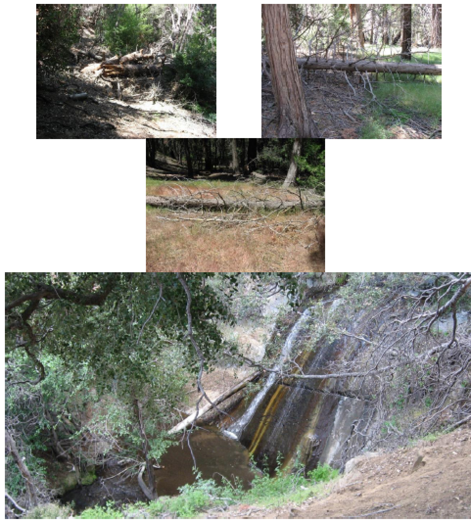
Downed trees and waterfalls, Jenkins - Alejandro Trail Survey - 06-06-2015 - by Anonymous Surveyor
Link: Alejandro Trail Date: 06-06-2015 Surveyor Name: Anonymous Surveyor Trail description: Started from Colson Canyon Road and was able to follow trail easily to Alejandro Camp. There were lots of briars and brambles along the trail and would recommend gators to keep them out of your boots. As I was eating at Alejandro Camp a large brown bear started toward the camp from the steep slope across the creek. I was able to scare it away by making noise, but he came back later that night. I tied my food in a tree about 100 yards from camp and he was not able to get to it. In the mourning I started out for Chuchudas Camp. About a mile or so after leaving Alejandro Camp the trail became non existent and I was unable to follow it to the next camp. This forced me to turn around and cut my trip short. Mode of transport: Hike Trail condition: Non existent - Gibraltar Trail Survey - 06-06-2015 - by Los Padres Forest Association
Link: Gibraltar Trail Date: 06-06-2015 Surveyor Name: Los Padres Forest Association Trail description: As part of the LPFA National Trails Day project a crew of 5 volunteers worked the Gibraltar Trail about a mile west from the junction with the Cold Spring Trail. Â We brushed the trail and fixed 2-3 of the slide sections. Â Still work to be done out towards the mine. Mode of transport: Array Trail condition: Needs some work Images: 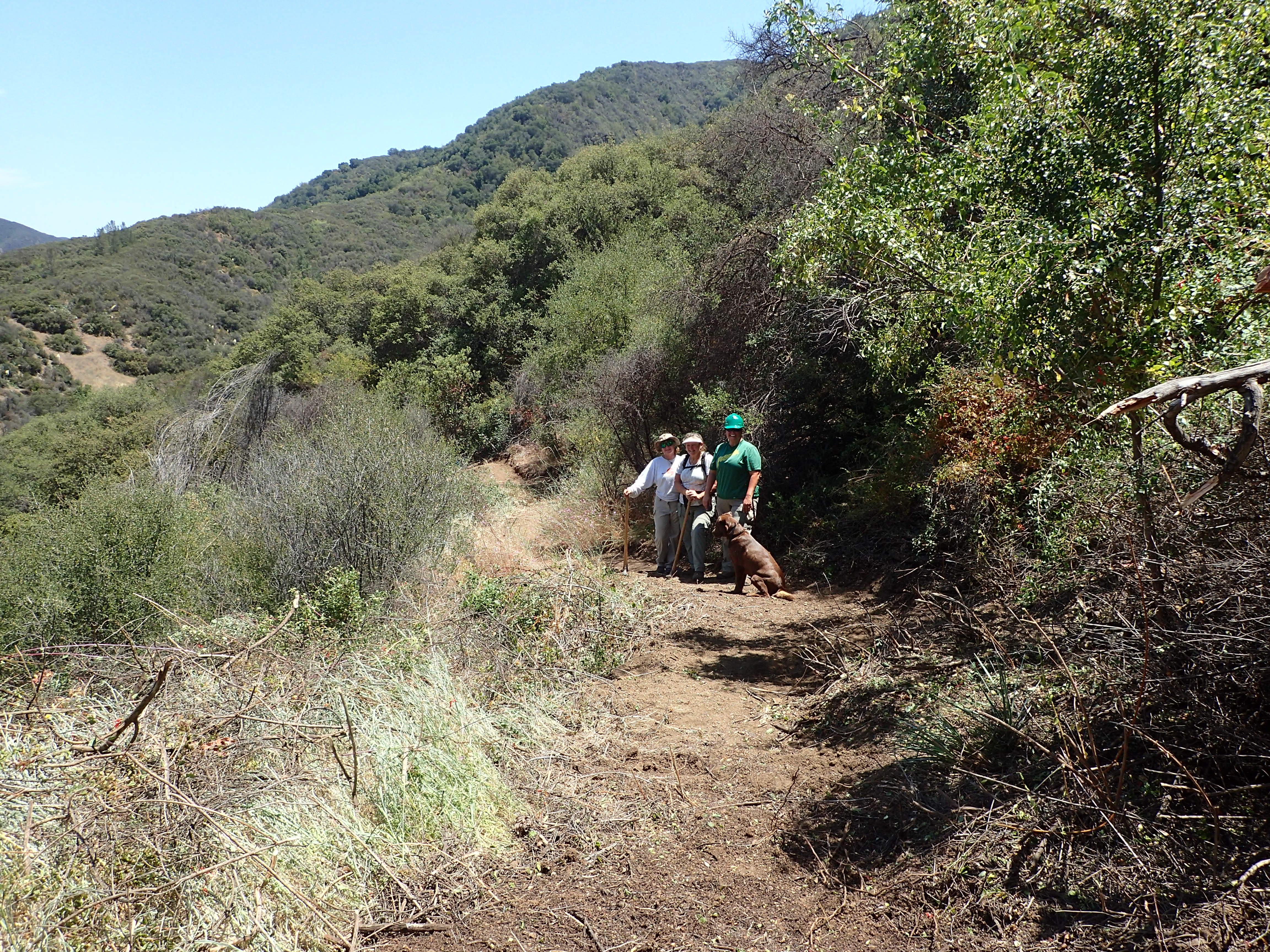
Brushing well done. - Cruickshank Trail Survey - 06-01-2015 - by Los Padres Forest Association
Link: Cruickshank Trail Date: 06-01-2015 Surveyor Name: Los Padres Forest Association Trail description: The Ventana Wilderness Alliance completed the trail to pack stock standards from Highway 1 to Upper Cruickshank Camp in Spring 2015. Mode of transport: Array Trail condition: Good shape and easy to follow - Buckeye Trail Survey - 06-01-2015 - by Los Padres Forest Association
Link: Buckeye Trail Date: 06-01-2015 Surveyor Name: Los Padres Forest Association Trail description: Ventana Wilderness Alliance completed the trail from Upper Cruickshank Camp to Villa Creek Camp to hiker/pedestrian standards in Spring 2015. Mode of transport: Array Trail condition: Needs some work - Buckhorn Trail Survey - 05-30-2015 - by Jasonn Beckstrand
Link: Buckhorn Trail Date: 05-30-2015 Surveyor Name: Jasonn Beckstrand Trail description: Trail maintenance work on Buckhorn Trail. Â This hasn't happened in over 15 years. The trail work started at Camuesa Rd and the Buckhorn Trail head.This is the first of many multi-group run projects to open this trail back up for all users.First project was to come in to log out the down trees that prevent horse and mountain bikes from enjoying the trail. Â There was also a lot off brushing.There will be 4 or more follow up projects throughout the next couple of years.The goal is to re-open this once popular trail for everyone to enjoy.Mode of transport: Hike Trail condition: Hard to follow Condition details: The first 4 miles to Lower Buckhorn need some work. But beyond lower buckhorn the trail fades away to almost nonexistent Images: 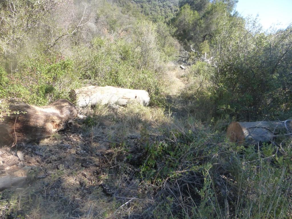
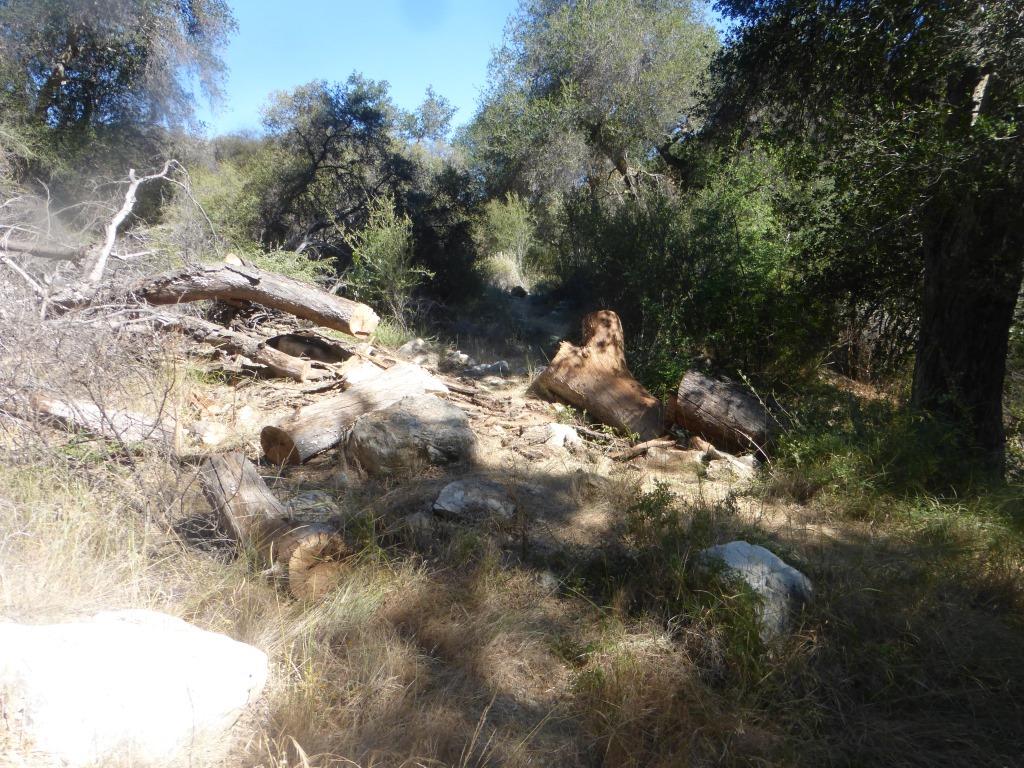
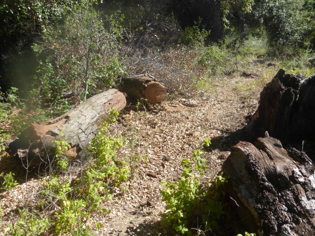
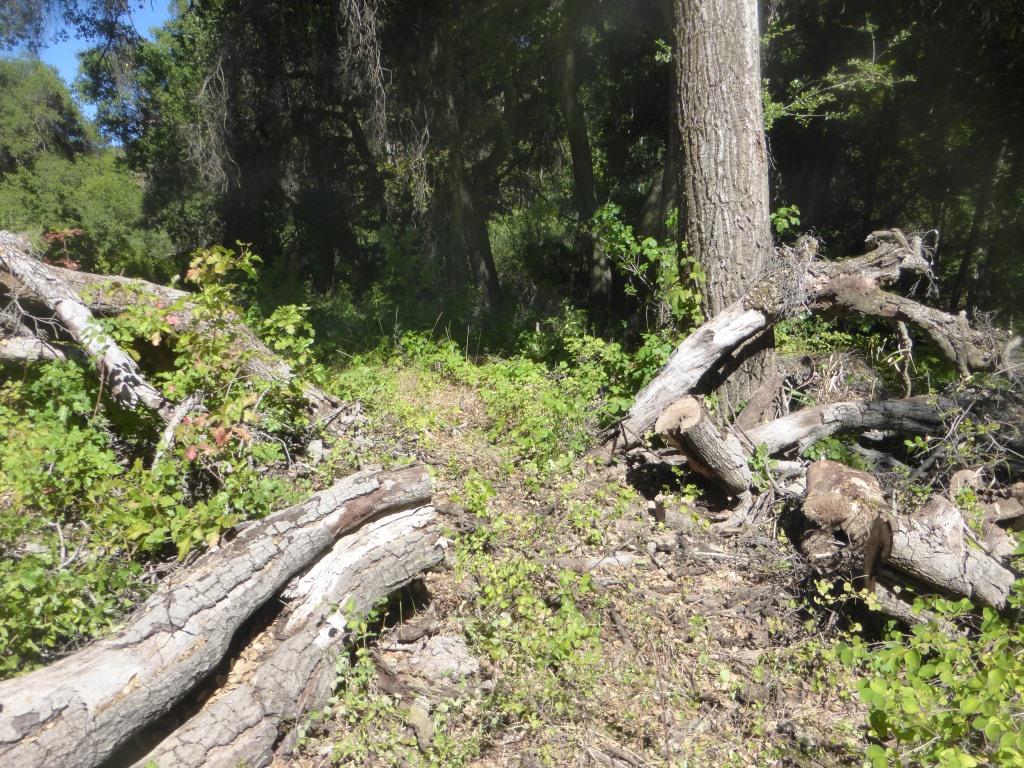
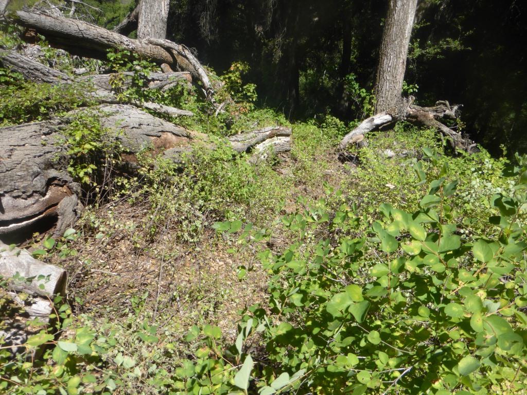
- Pratt Trail Survey - 05-29-2015 - by Dan Whelan
Link: Pratt Trail Date: 05-29-2015 Surveyor Name: Dan Whelan Trail description: All is good. Very dry. Still water at Valley View, but just a trickle of flow Mode of transport: Hike Trail condition: Good shape and easy to follow - Big Falls Trail Survey - 05-25-2015 - by Frank Kehl
Link: Big Falls Trail Date: 05-25-2015 Surveyor Name: Frank Kehl Trail description: We hiked this trail on Memorial Day, going as far as Upper Big Falls. This segment of the trail is clear and in excellent shape. Poison oak lines both sides of the trail in most places, but is easily avoided. Lower Big Falls is still flowing - barely. Upper Big Falls has stopped flowing altogether, although the pool at the base of the falls still has plenty of water. Mode of transport: Hike Trail condition: Good shape and easy to follow Images: 
Lower Big Falls from on the trail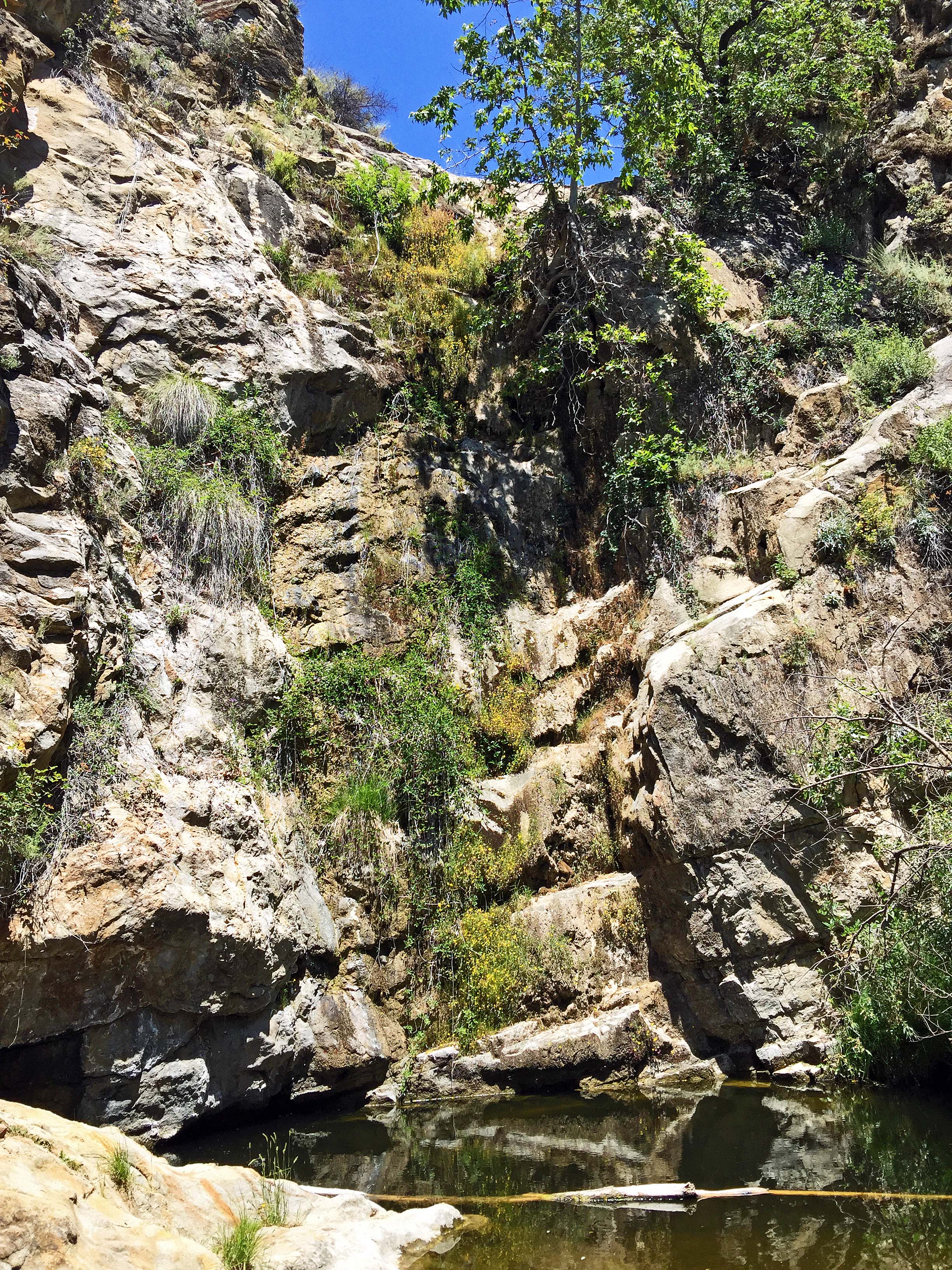
Pool at the base of Upper Big Falls (currently not flowing) - Tunnel Trail Survey - 05-24-2015 - by Anonymous Surveyor
Link: Tunnel Trail Date: 05-24-2015 Surveyor Name: Anonymous Surveyor Trail description: Large tree across the trail down near the bottom, about the last two miles before the dam, a ton of poison oak overgrown on the trail, can't get around it. Beautiful trail but needs to be cleared. Mode of transport: Hike Trail condition: Needs some work Condition details: Needs clearing - Fishbowls Trail Survey - 05-24-2015 - by Anonymous Surveyor
Link: Fishbowls Trail Date: 05-24-2015 Surveyor Name: Anonymous Surveyor Trail description: The trail was in good shape. I walked the entire loop and came across plenty of water in all of the expected locations. It had rained the day before I arrived so that may have accounted for the abundance of water. Cedar Camp and Fishbowl Camp were both in good condition. The fishbowls were flowing well. Mode of transport: Hike Trail condition: Good shape and easy to follow Images: 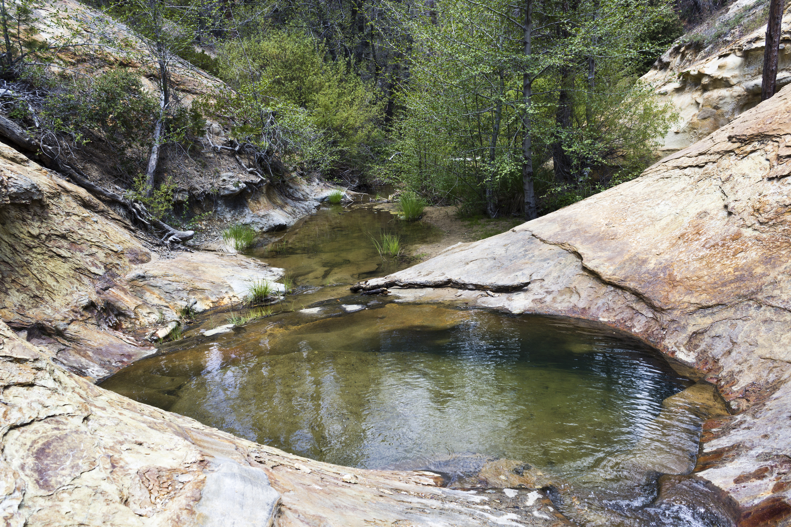
The first fishbowl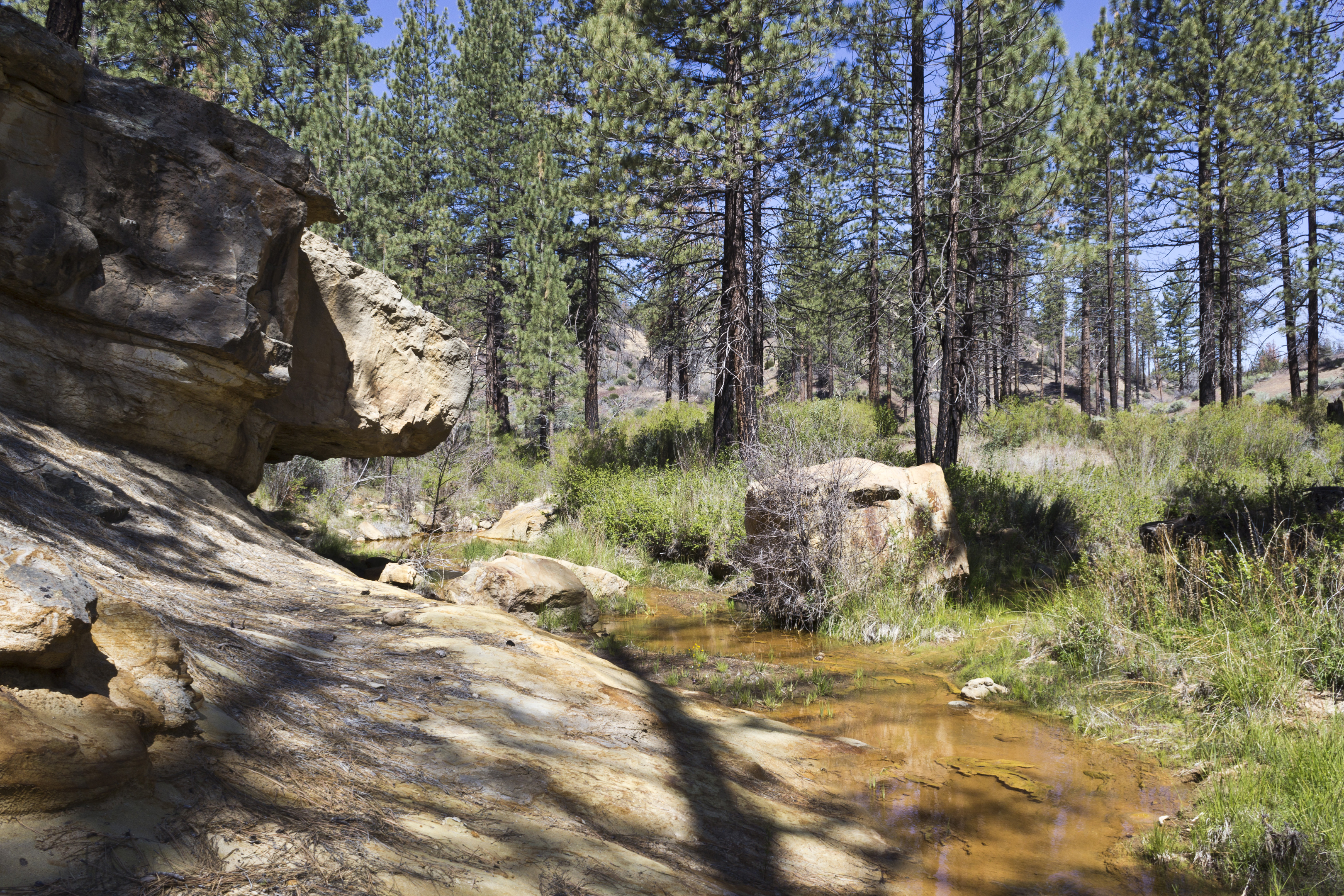
Cedar Creek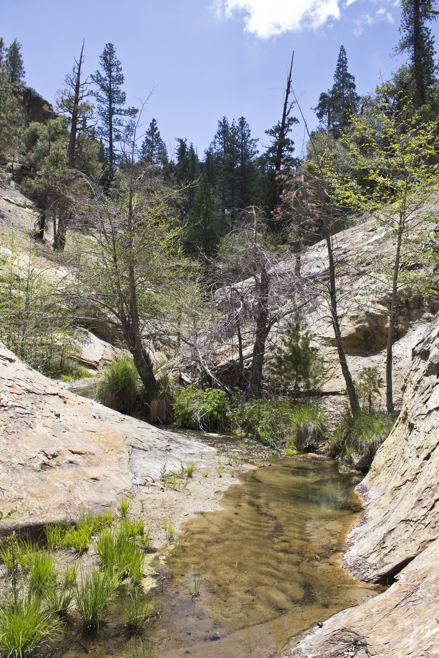
Piru Creek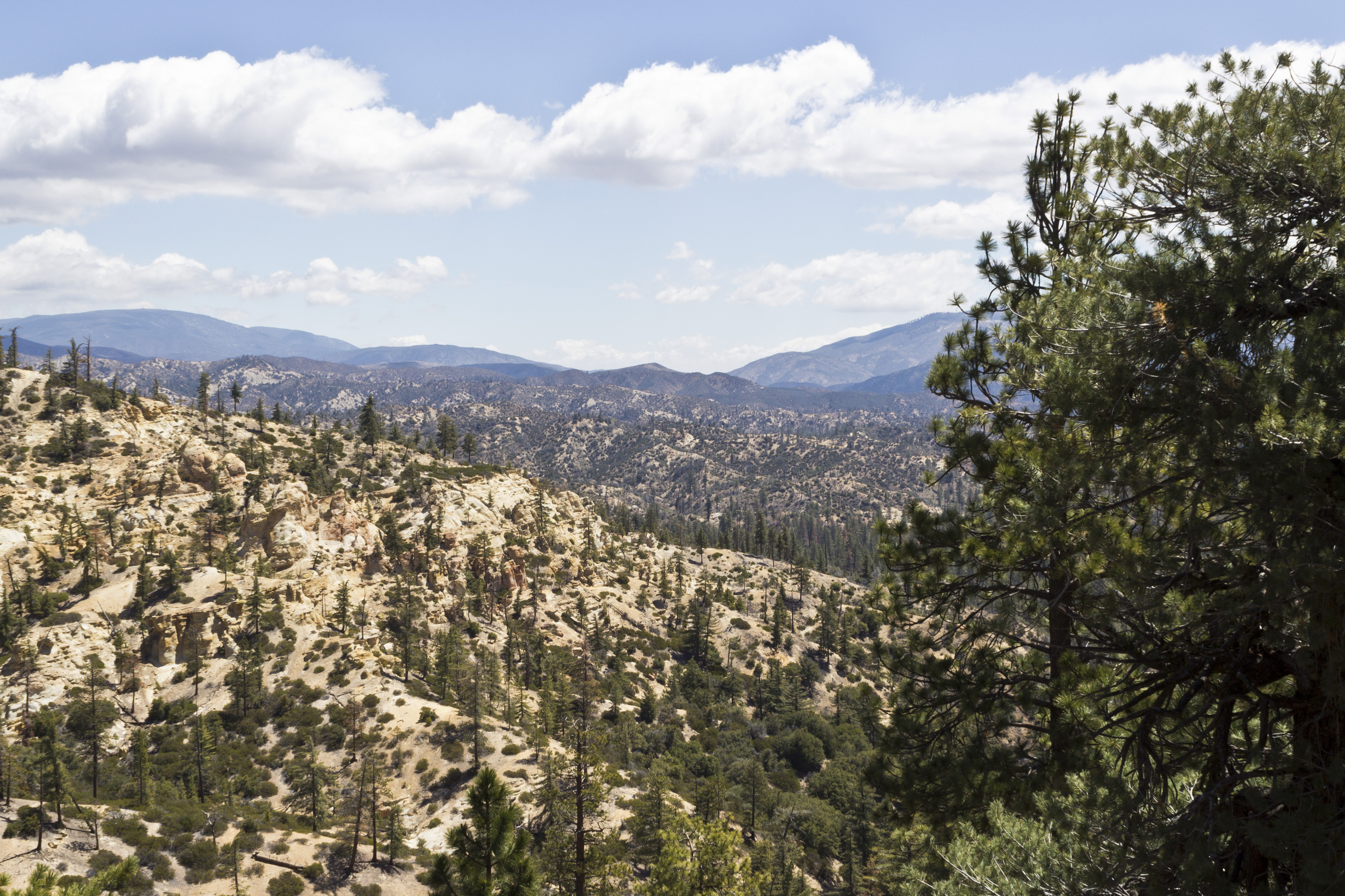
Overlooking the Sespe Wilderness - Howard Creek Trail Survey - 05-23-2015 - by Dan Whelan
Link: Howard Creek Trail Date: 05-23-2015 Surveyor Name: Dan Whelan Trail description: Trail is in great shape. There are some spots where the annual grasses and plant have closed the trail in but still very easy to follow and pass. No water on trailÂMode of transport: Hike Trail condition: Good shape and easy to follow - Lost Valley Trail San Rafael Wilderness Survey - 05-23-2015 - by theejackalope
Link: Lost Valley Trail San Rafael Wilderness Date: 05-23-2015 Surveyor Name: theejackalope Trail description: Three day loop hike Memorial Day weekend, 2015
Day 1: Nira to White Ledge via Lost Valley Trail and Hurricane Deck (East) (5/23/15)
Day 2: White Ledge to Manzana Narrows, with out and back to South Fork (5/24/15)
Day 3: Manzana Narrows to Nira (5/25/15)
LV/HD
Lost Valley Trail from Nira in great shape for the most part. Water near Nira, and generally around within first mile or so of trail.
LVT generally easy to follow until it gets into the chaparral up near/on the Deck. Near the campsite at the big U turn, be sure to look for the blue tape on the tree across the creek to follow the trail. Once up on/near the Deck, you will also need to keep a keen eye on things to follow the trail in relatively open country. Once it gets into the thick scrub, though, markers are generally visible.
There is pooled water throughout the first few miles of LVT; what we presume to be Vulture Spring (about 20 minutes up from the campsite at the big U turn) is flowing steadily but scantily. You could get water there but it will take a long time; suggest bringing all your water from Nira (or if in the other direction from White Ledge).Â
No water, of course, on the Deck. Definitely had to do some chap-bashing, but no need for true bushwacking or machetes. We owe a BIG THANKS to the trail crews and others who have made the way across the deck clear; this is especially true the closer you get to White Ledge. THANK YOU FOR YOUR WORK!!! It wasn't an easy hike, but it certainly wasn't grueling or life-threatening either. A great balance.
Ample pools of water at White Ledge, though not flowing and also ample horse poop. So bring your filters / treatement (!) if you want to use this water.
Finally, as often noted, don't trust any estimates of mileage on these trails, especially the signage. Allow more time than you think. We're strong hikers, and at a moderate pace on a hot day it took about 8 hours from Nira to WL. We had expect 6 based on posted mileage and conditions.
South Fork from White Ledge
Clear trail all the way down to the Fork, and good flowing water around the Fork. Low levels, but steady and ample. Signs say it is two miles from WL to SF, but we're thinking more like 3. Didn't tightly validate with our map, though. Allow 1.5 hours to SF from WL, the same going back.
WL to MN
Good trail, easy to follow. Assuming a three hour hike from WL to MN, there is accessible water early on the trail, as well as apprx. halfway. Ample flowing water at Manzana Narrows; worth waiting for rather than pumping along the way (as long as you're not totally out, of course).
MN to NIRA
Good trail, easy to follow. Suggest filling water at MN or Nira, rather than counting on it on this stretch of the trail. There might be water along the way, but we didn't actively check; most things looked dry.
About three hours from MN to NIRA.
Beautiful loop! Lots of variety and challenge. Estimate of total miles (with side trip to/from SF): 30. ÂMode of transport: Hike Trail condition: Good shape and easy to follow - Manzana Trail West (Lower) Survey - 05-22-2015 - by Caddo Mounds
Link: Manzana Trail West (Lower) Date: 05-22-2015 Surveyor Name: Caddo Mounds Trail description: Water good enough to Dabney Cabin on 5/22/2015 but did not see any more after that to Schoolhouse. Heard there was some water west of Schoolhouse at beaver dam but did not confirm. Mode of transport: Hike Trail condition: Good shape and easy to follow - Alder Creek Trail Survey - 05-21-2015 - by Coyote Dave
Link: Alder Creek Trail Date: 05-21-2015 Surveyor Name: Coyote Dave Trail description: Hiked Alder Creek Trail from Dough Flat to Alder Creek and continued on down Alder Creek to the Sespe. Â Trail was in great condition and easy to follow. Â No water at Squaw Flat but grape vines are starting to fruit. Â There is plenty of water at Cow Springs if you hike up the wash 30 yards or so. Â Dripping Springs was barely dripping but had water in the pools at its base. Â East Fork Alder Creek was dry. Â The main fork of Alder was flowing nicely all the way to the confluence with the Sespe. Â Mode of transport: Hike Trail condition: Good shape and easy to follow - Alder Creek Trail Survey - 05-20-2015 - by Kara Hooper
Link: Alder Creek Trail Date: 05-20-2015 Surveyor Name: Kara Hooper Mode of transport: Hike Trail condition: Hard to follow Condition details: from the junction with the MacDonald trail, the trail through the Alder Creekbed is hard to navigate. Also, once you get up out of the alder drainage and head into the Sespe, there is a very large slide that makes the trail difficult to navigate while on the side of the mountain. - Roque Canyon Trail Survey - 05-19-2015 - by Condor Trail Association
Link: Roque Canyon Trail Date: 05-19-2015 Surveyor Name: Condor Trail Association Trail description: Got a report from a thru-hiker. Â The trail from Roque Camp down to Kerry Canyon is non-existent. Â No sign of a trail, take the path of least resistance and make your way down the canyon. Â It is passable but expect to run into thick brush and dead ends. Â There was water at Roque Camp and along most of the canyon as it heads downstream towards Lazy Camp. Mode of transport: Hike Trail condition: Non existent - Devils Canyon Trail Survey - 05-18-2015 - by Gerry Ching
Link: Devils Canyon Trail Date: 05-18-2015 Surveyor Name: Gerry Ching Trail description: Hiked the Matias Potrero - Devil's Cyn loop today. The eastern segment of the Matias trail is in relatively good shape. Overgrown in spots, but the tread is always visible. The junction of the Matias and Devil's Cyn trails is marked with a large metal sign which doesn't mention the Devil's Cyn trail. Go left and downhill from this junction.
The Devil's Cyn trail descends fairly steeply. The section 0.3 miles from the junction is overgrown with tall grasses, but can be followed easily with care. Several downed trees (0.8 mile from end of trail) across the path requires going around or over. The last 0.4 mile involves 4 stream crossing with lots of poison oak. Long pants and long-sleeved shirts highly recommended. The track is a little hard to see, but followable. There is a trail sign where the trail meets Paradise Rd, but the sign doesn't identify the trail.
Did this loop without a car shuttle, parking the car at the Matias Potrero trailhead. Utilizing the shortcut trail down to the Red Rock parking lot, total mileage with 8.6 miles.
The day was near perfect for this hike. Cool, in the low 70s with a fresh breeze. Oh, a fair number of ticks encountered. Note: the Matias/Devil's Cyn route as marked on the 1995 topo quad is quite accurate.
Mode of transport: Hike Trail condition: Needs some work Condition details: Devil's Cyn trail needs work - Hurricane Deck Trail Survey - 05-17-2015 - by Julie
Link: Hurricane Deck Trail Date: 05-17-2015 Surveyor Name: Julie Trail description: Hiked from Nira to White Ledge along Manzana Trail. Next day hiked Hurricane Deck to Lost Valley trail back to Nira. Water in Manzana Creek up to Big Spruce turn off, then only standing water to White Ledge. The first 2 miles of Hurricane deck were clear and easy to follow. The last last 1-2 miles was very overgrown and not well marked - to the point I contemplated whether I was on an actual trail any longer. No water along this whole section.Lost valley trail in good condition. No water along here either.Mode of transport: Hike Trail condition: Needs some work Images: 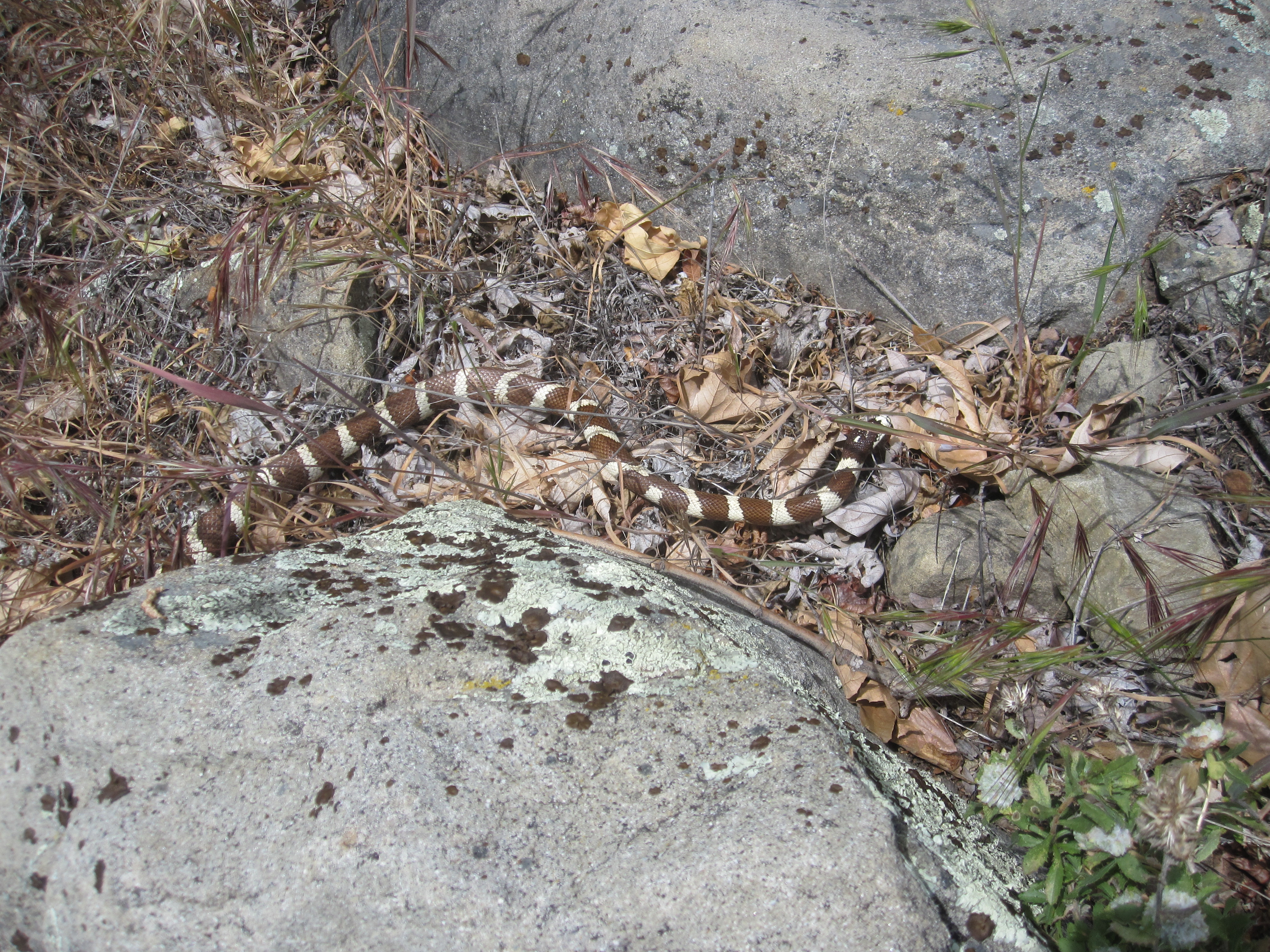
King Snake along Manzana Creek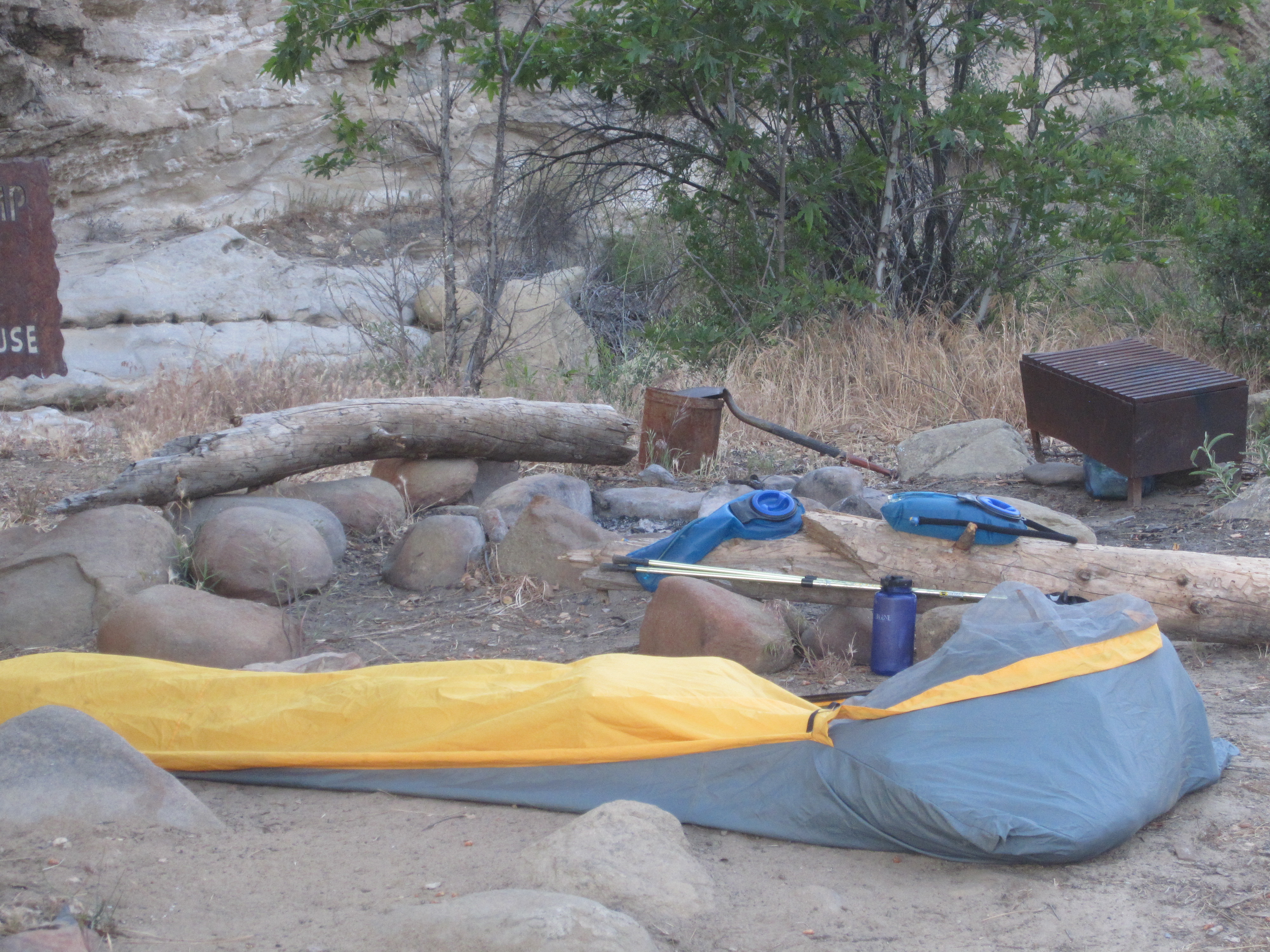
White Ledge Camp - Piedra Blanca Trail Survey - 05-16-2015 - by Jeremiah Swider
Link: Piedra Blanca Trail Date: 05-16-2015 Surveyor Name: Jeremiah Swider Trail description: Lots of poison oak crowding the trail. Â In some places we had to push through bushes but for a majority of the hike it was a fine trail. Mode of transport: Hike Trail condition: Needs some work Condition details: Overgrowth of plants in some places, including poison oak. Images: 
Walking through the bushes crowding the trail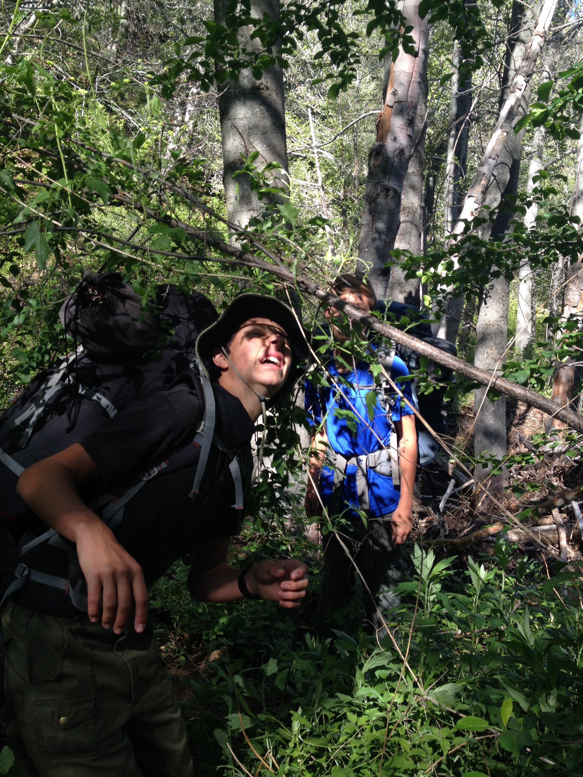
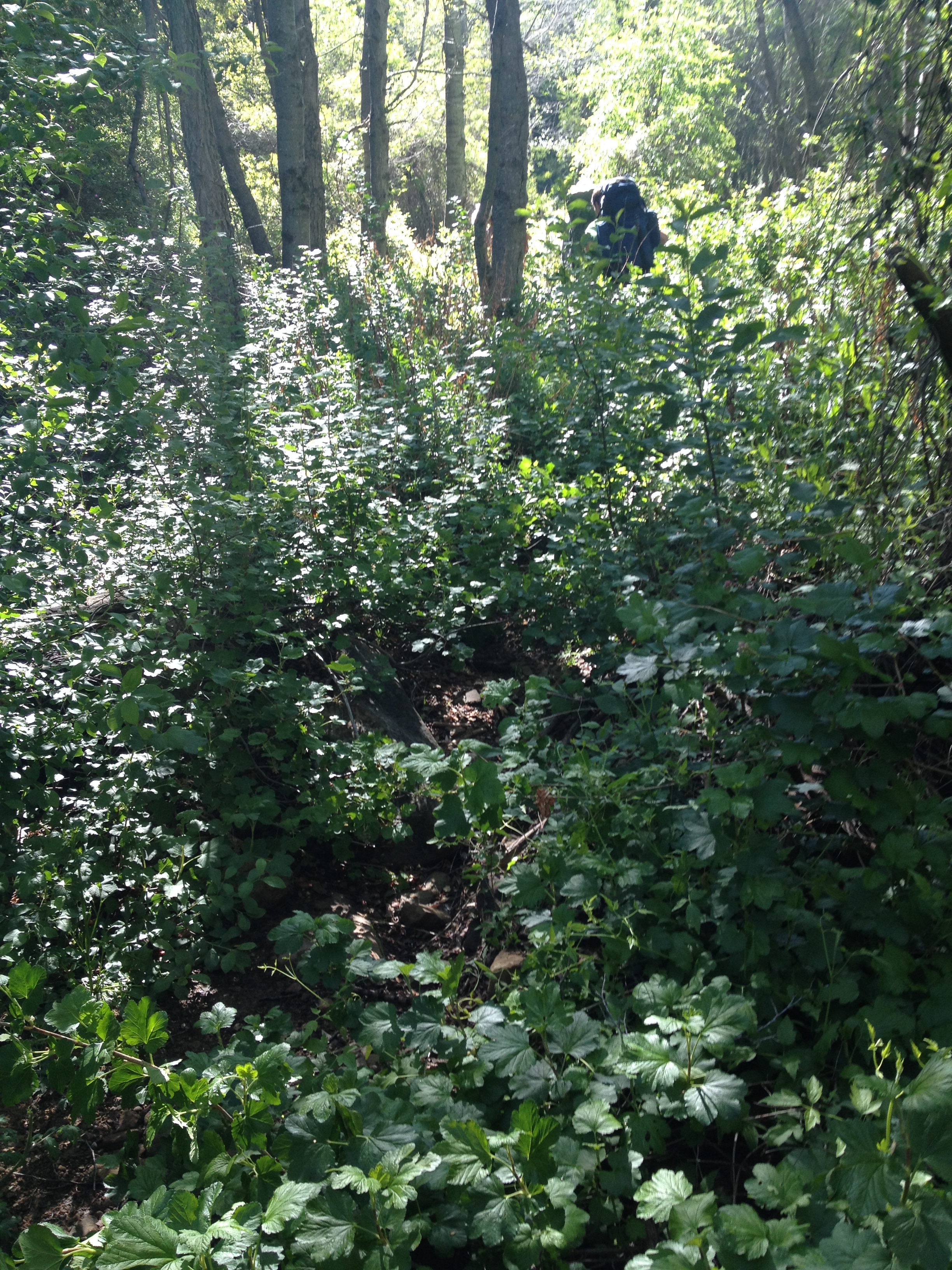
plants in the way - Cold Spring Trail - North Survey - 05-16-2015 - by Fred L
Link: Cold Spring Trail - North Date: 05-16-2015 Surveyor Name: Fred L Trail description: Started at the head on Mount.rd. Hard to follow trail due to lack of signs/marking. Ended up getting lost and hiking Santa Ynez trail. Goal was Mono Camp, but Gibraltar Reservoir and River dried out. Some pockets of murky water, so water filter highly recommended. Mode of transport: Hike Trail condition: Needs some work Condition details: Lack of signs - Reyes Peak Trail Survey - 05-15-2015 - by Anonymous Surveyor
Link: Reyes Peak Trail Date: 05-15-2015 Surveyor Name: Anonymous Surveyor Trail description: Trail condition out of Haddock Campground to Haddock Mountain. Are at times impassable due to plant encroachment, just after the main incline approach to the rock formation area. Leading to Haddock Mountain rock pile (ducks) are hard to spot and need to re-worked.  Also I counted about (5) down trees across the trail from Haddock Mountain to Reyes Peak. Mode of transport: Hike Trail condition: Needs some work - Santa Cruz Trail Survey - 05-15-2015 - by Los Padres Forest Association
Link: Santa Cruz Trail Date: 05-15-2015 Surveyor Name: Los Padres Forest Association Trail description: The LPFA in partnership with the Forest Service hired an American Conservation Experience (ACE) crew to work the Santa Cruz Trail from Kellogg Camp up towards Mission Pine Basin. Â They accomplished 3.11 miles of trail work, clearing what was once a brush slog into a great wilderness trail once again. More information here:https://www.facebook.com/LosPadresForestAssociation/posts/464739166984346Mode of transport: Array Trail condition: Needs some work - Franklin Trail South Survey - 05-13-2015 - by Gerry Ching
Link: Franklin Trail South Date: 05-13-2015 Surveyor Name: Gerry Ching Trail description: Phase 2 of the trail just opened to the public. The Phase 2 route is entirely on a dirt fire road. Great views of Carpinteria for most of the distance.
Total distance (Phases 1 & 2) is now 5.2 miles. Total elevation gain is about 1700 feet but since the route dips down into minor and moderate canyons, cumulative elevation gain is about 2300 ft. Be sure to allow enough time (about 6 hrs) to do the round trip with a lunch stop. There is a nice bench and lookout at the 3.2 mile point,
Mode of transport: Hike Trail condition: Good shape and easy to follow - Matias Potrero Trail Survey - 05-12-2015 - by Jeff B.
Link: Matias Potrero Trail Date: 05-12-2015 Surveyor Name: Jeff B. Trail description: Ridden several times between Feb. and May of 2015: trail is in very good shape, and some brushing (particularly of poison oak) has been done. Beautiful and easy to follow. Mode of transport: Bicycle Trail condition: Good shape and easy to follow - Buckhorn Trail Survey - 05-12-2015 - by Los Padres Forest Association
Link: Buckhorn Trail Date: 05-12-2015 Surveyor Name: Los Padres Forest Association Trail description: The LPFA scouted the Buckhorn Trail in advance of an upcoming trail project. Â We'll be out there in late May 2015 clearing the brush and mainly logging out any fallen trees. Â The trail is quite nice from the lower trailhead up to Lower Buckhorn. Â From there up to the road is a different story. Â It's brushy, covered by PO in certain places, lots of downed trees and somewhat hard to follow. Â The last bit up through the chaparral to the road is very overgrown. Â Be sure to look for the flagging and it is recommended that you go down the trail rather than up the trail. Â All that being said, its a beautiful canyon, very wild and well worth exploring. Â Here are some photos from the trail patrol:http://arcg.is/1PG7dwgMode of transport: Array Trail condition: Needs some work - Sespe River Trail Survey - 05-11-2015 - by Hike Los Padres
Link: Sespe River Trail Date: 05-11-2015 Surveyor Name: Hike Los Padres Trail description: Water along the entire stretch of the Sespe from Piedra Blanca to Alder Creek. Â The trail is wide open most of the way but starts to get overgrown as you approach Alder Creek at the last crossing of the Sespe. Â It is brushy on the last drop down to Alder at Shady Camp. Mode of transport: Hike Trail condition: Needs some work - Chorro Grande Trail Survey - 05-10-2015 - by Hike Los Padres
Link: Chorro Grande Trail Date: 05-10-2015 Surveyor Name: Hike Los Padres Trail description: Still some water along the lower section of the trail. Mode of transport: Array Trail condition: Good shape and easy to follow - Grapevine Trail Survey - 05-10-2015 - by Los Padres Forest Association
Link: Grapevine Trail Date: 05-10-2015 Surveyor Name: Los Padres Forest Association Trail description: LPFA led a quick project to clear the first mile of the Grapevine Trail from the Buckhorn Rd down to the first creek crossing. Â Looking good! Mode of transport: Array Trail condition: Good shape and easy to follow Images: 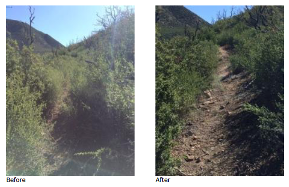
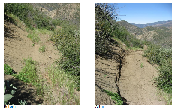
- Agua Blanca Trail Survey - 05-10-2015 - by Los Padres Forest Association
Link: Agua Blanca Trail Date: 05-10-2015 Surveyor Name: Los Padres Forest Association Trail description: The Ojai Ranger District VWR's cleared the large rock slide along Agua Blanca Trail. Â See before and after photos. Mode of transport: Array Trail condition: Needs some work Images: 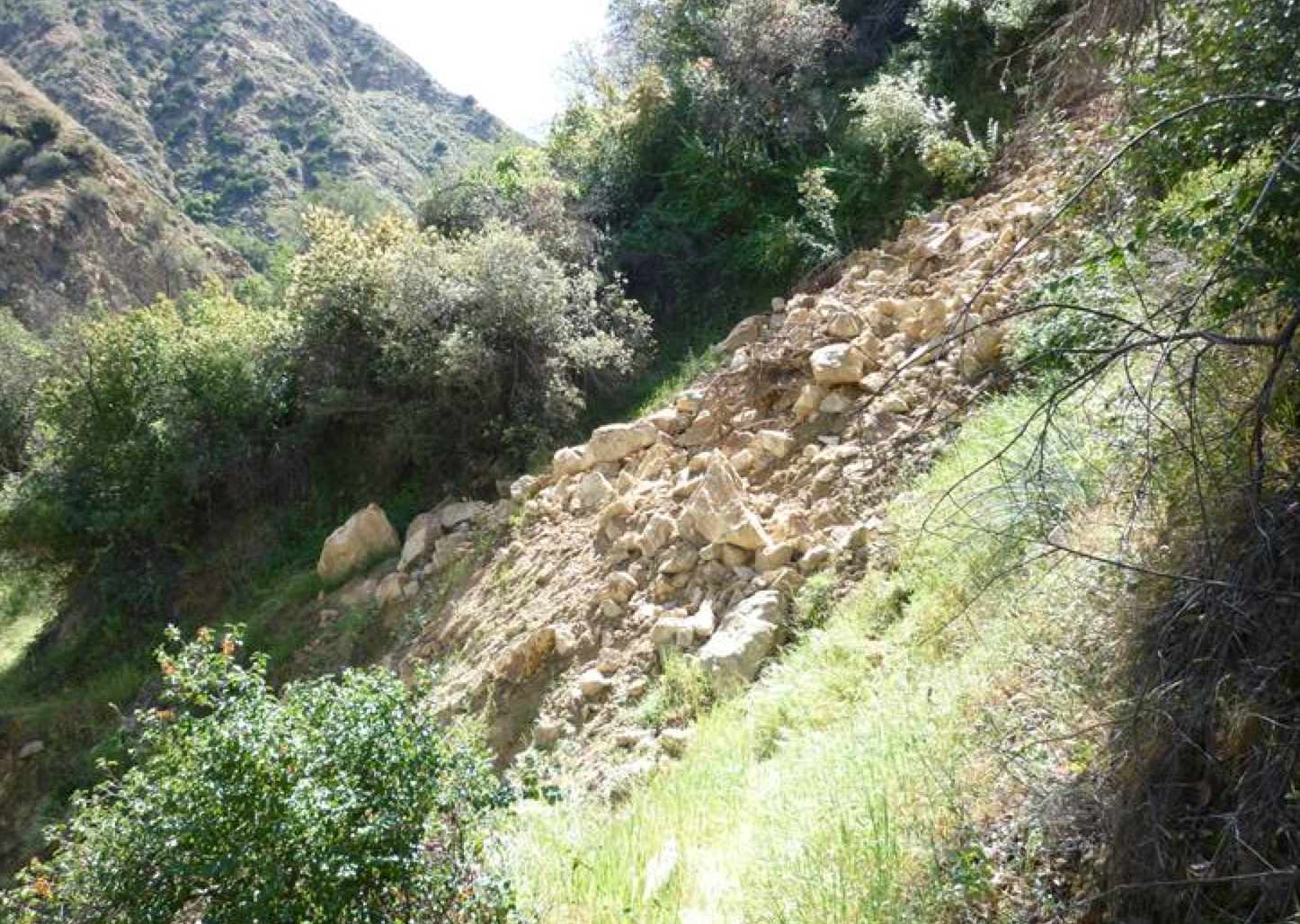
Photo Ranger Heidi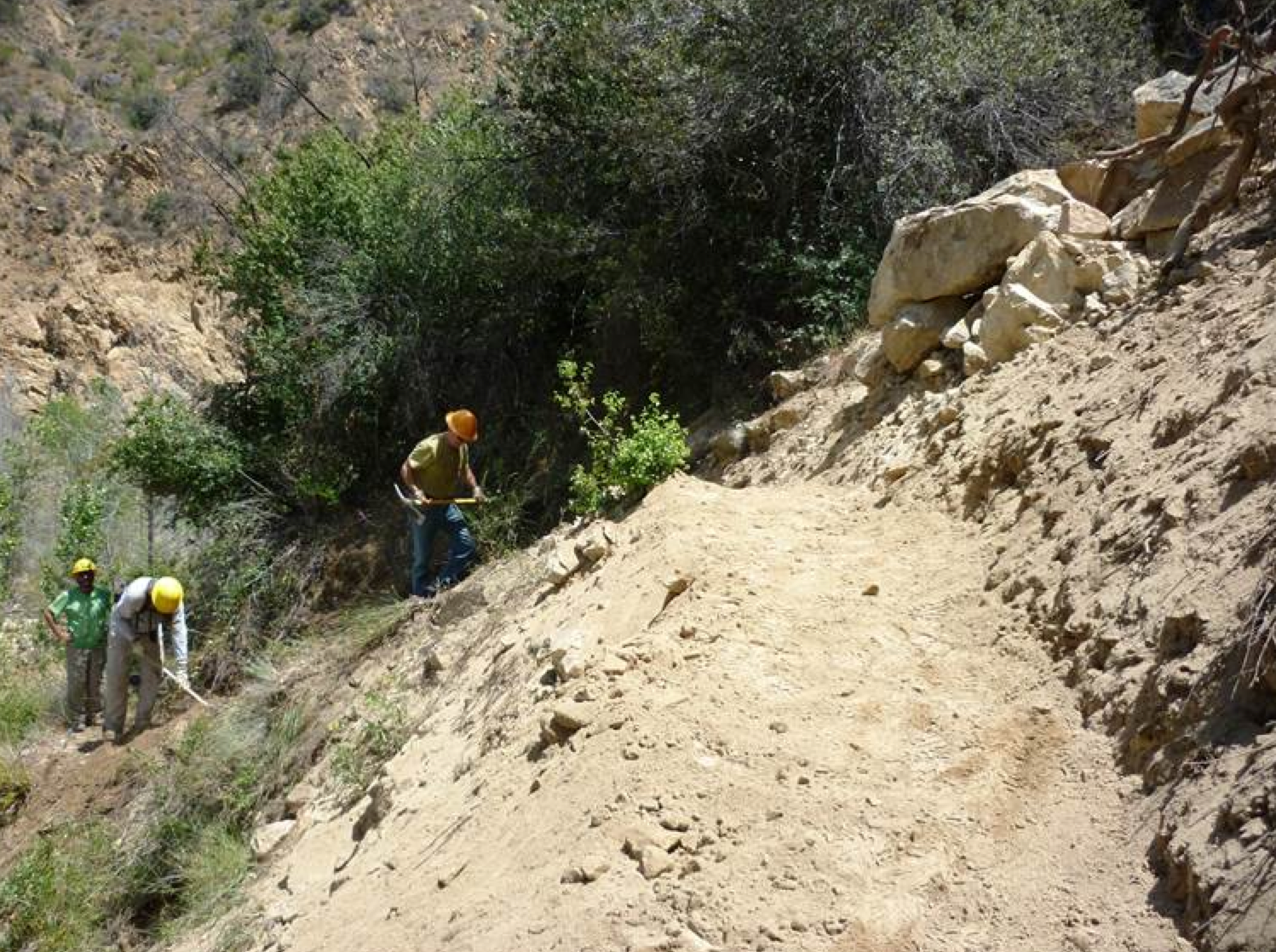
Photo Ranger Heidi - Piedra Blanca Trail Survey - 05-09-2015 - by Arnold Levin
Link: Piedra Blanca Trail Date: 05-09-2015 Surveyor Name: Arnold Levin Trail description: 19.3 Miles and 8-1/2 hours traversed with shuttle @ Lion's Camp and Reye's Creek. Me and three other friends did it with many pic's of water taken for future reference. Please be aware that water sources change due to weather. Mode of transport: Hike Trail condition: Good shape and easy to follow Images: 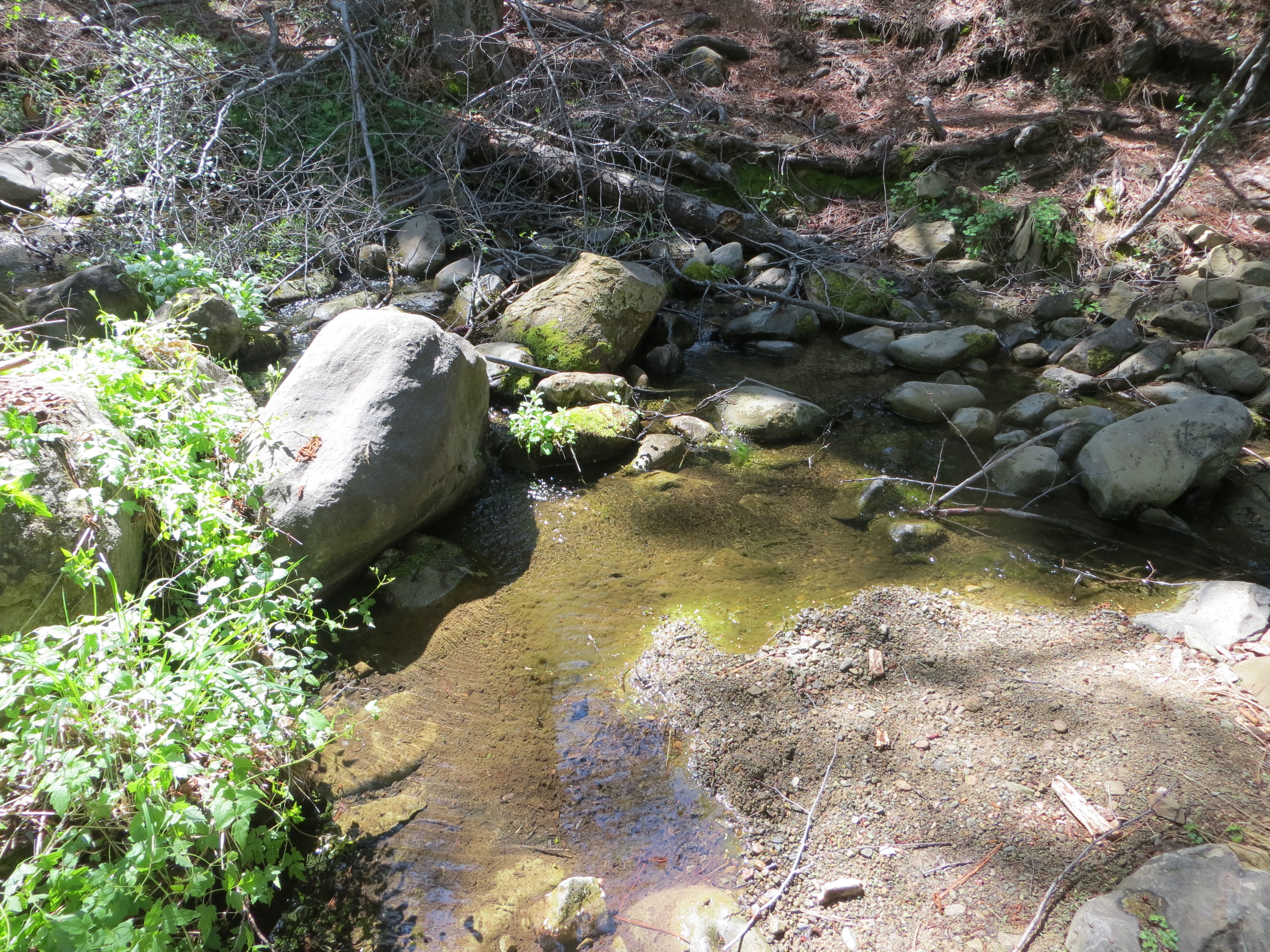
Water Source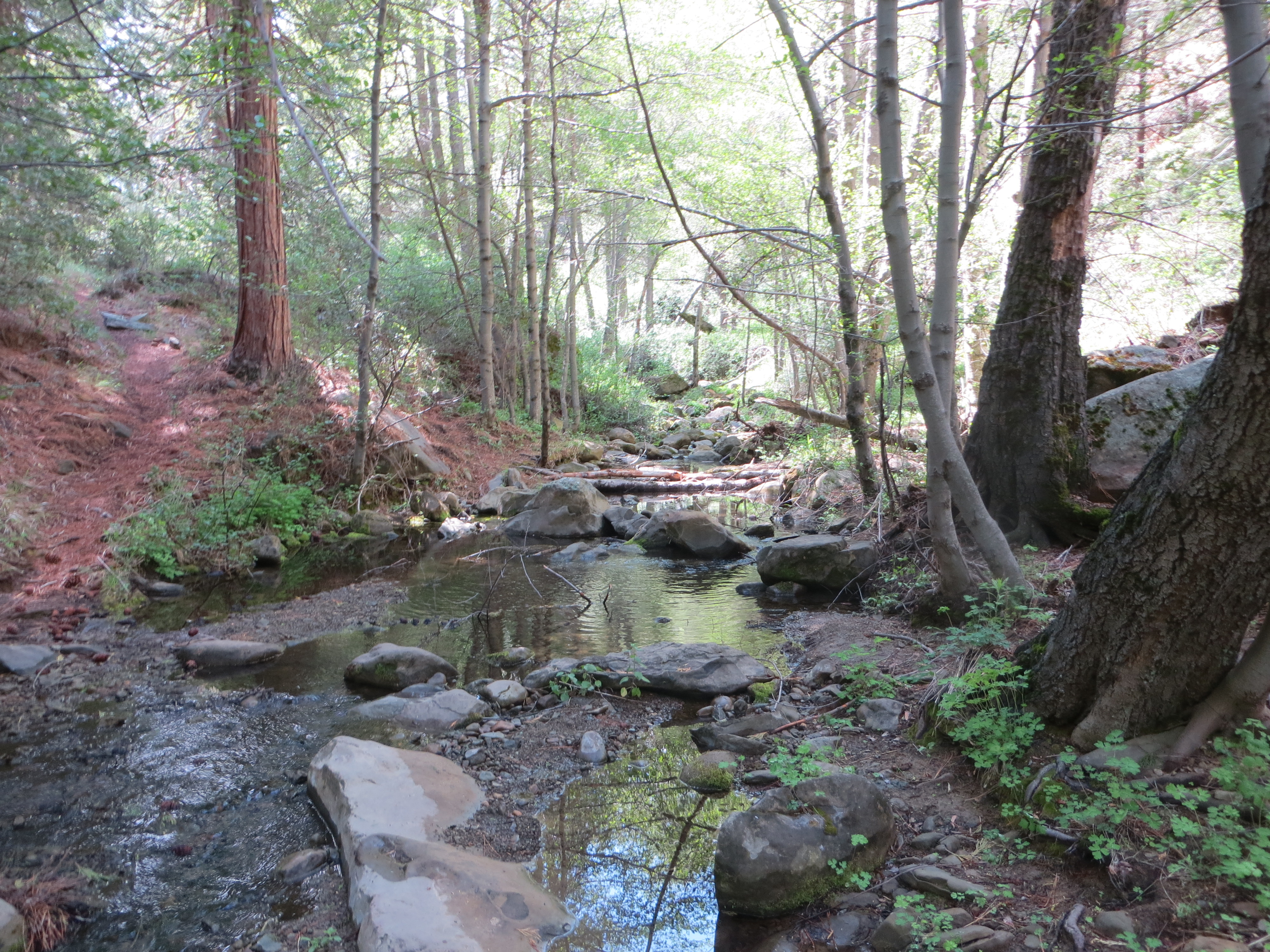
Water Source-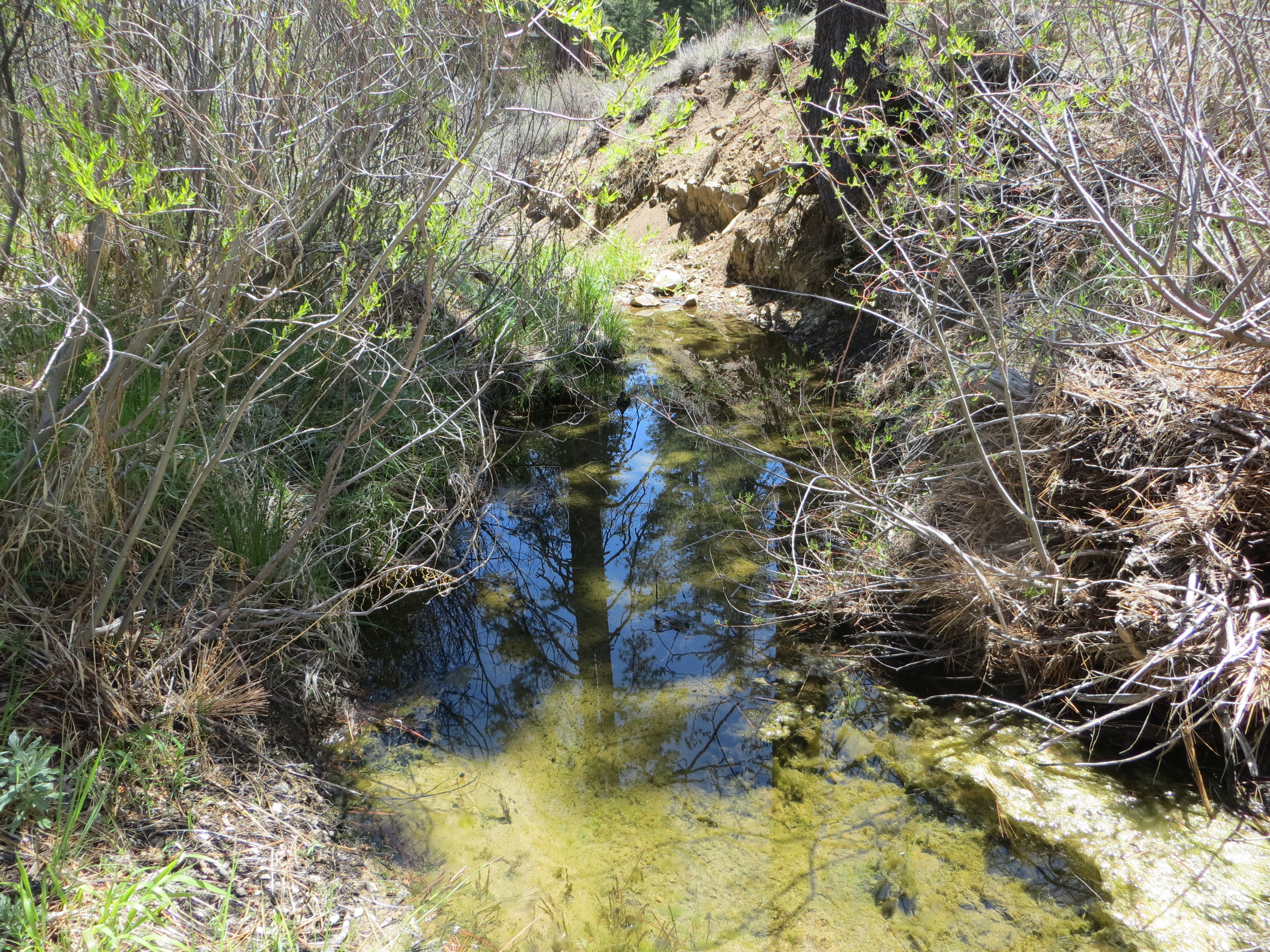
Water- Haddock Camp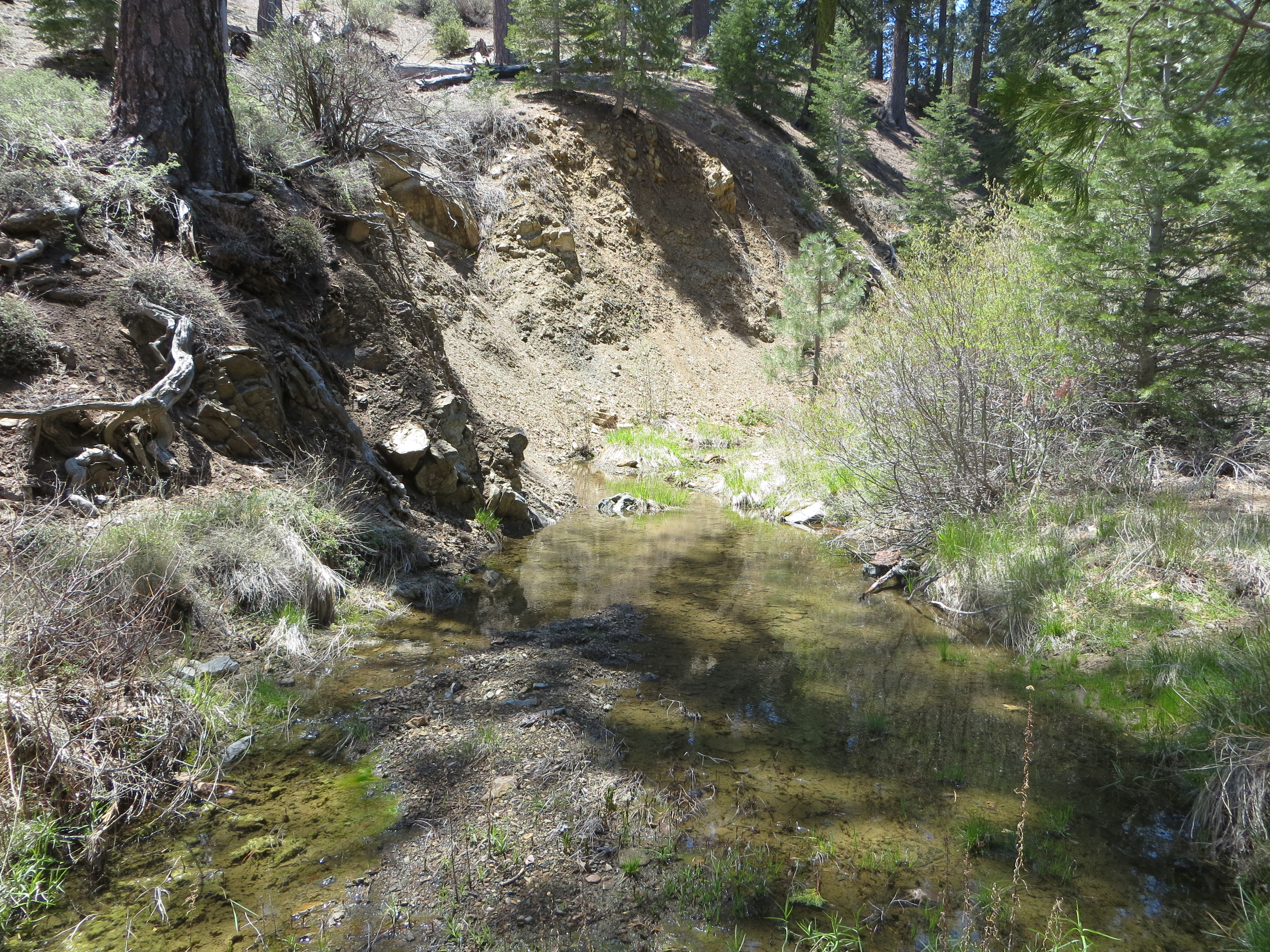
Piedras Blancas Creek
3 Mile Camp- Water along camp - Santa Cruz Trail Survey - 05-09-2015 - by Jeff B.
Link: Santa Cruz Trail Date: 05-09-2015 Surveyor Name: Jeff B. Trail description: Rode the Santa Cruz singletrack from the junction with Camuesa Road up to Alexander Saddle, then continued on down to Santa Cruz Camp and returned the same way. The trail is in great shape for it's entire length, with the 40 Mile Wall section being a particular highlight. Also, it's well worth the short trek down to Little Pine Spring. Mode of transport: Bicycle Trail condition: Good shape and easy to follow Images: .JPG)
- Johnston Ridge Trail Survey - 05-09-2015 - by Nico
Link: Johnston Ridge Trail Date: 05-09-2015 Surveyor Name: Nico Trail description: Hiked the trail from the Sespe River up to the Hot Springs. Â Plenty of hot water pouring into the canyon from the various springs. Â Poplar Creek was dry and only a tiny trickle of water was running in the unnamed canyon just west of Johnston Ridge. Â I did not check Coldwater Creek. Lots of people milling about the Hot Springs now with Grade Valley Rd open. ÂMode of transport: Hike Trail condition: Good shape and easy to follow - Gibraltar Trail Survey - 05-07-2015 - by Jeff B.
Link: Gibraltar Trail Date: 05-07-2015 Surveyor Name: Jeff B. Trail description: Rode this from the mine out to Cold Springs Trail: it's in very good shape right now, and is very easy to follow. Mode of transport: Bicycle Trail condition: Good shape and easy to follow - Madulce Peak Trail Survey - 05-06-2015 - by Anonymous Surveyor
Link: Madulce Peak Trail Date: 05-06-2015 Surveyor Name: Anonymous Surveyor Trail description: I read that this trail was worked on last fall, but it's hard to tell that it was because there are lots of down trees, areas where the trail is overgrown and one section that is washed out. Mode of transport: Hike Trail condition: Hard to follow Condition details: Many down trees, trail overgrown and hard to follow. - Rancho Nuevo Trail Survey - 05-03-2015 - by Hike Los Padres
Link: Rancho Nuevo Trail Date: 05-03-2015 Surveyor Name: Hike Los Padres Trail description: UTMC continued their assault on the trails within the MPRD, this time focusing on Rancho Nuevo. Â UTMC completed the goal of clearing all trees from the trailhead to Upper Rancho Nuevo. Â Trail is good to Deal Junction but gets brushy after that with washouts. Â Upper Rancho Nuevo is stock passable but only for experienced stock crews. Â If you hike this trail, please bring some flagging and mark the hard parts so we can keep people going the same direction. GREAT WORK!Mode of transport: Array Trail condition: Needs some work - Big Falls Trail Survey - 05-02-2015 - by Los Padres Forest Association
Link: Big Falls Trail Date: 05-02-2015 Surveyor Name: Los Padres Forest Association Trail description: VWR patrol report of the Big Falls trail. Â Trail brushy and hard to follow. Â Reports of recent hiker needing to be rescued. Â Also reports of trash at the falls. Would be nice to have a more official report complete with photos and then organize a project to fix the trail.Mode of transport: Array Trail condition: Hard to follow - Mission Pine Trail Survey - 05-02-2015 - by Los Padres Forest Association
Link: Mission Pine Trail Date: 05-02-2015 Surveyor Name: Los Padres Forest Association Trail description: Like sands through the hourglass, trees continue to fall. Â Another 15-20 downed pines were seen along the Mission Pine Trail between the Buckhorn Rd and West Big Pine. Â Most were in the 18-30" range. A project is planned to remove these trees later this spring.Mode of transport: Array Trail condition: Needs some work Images: 
photo Humphrey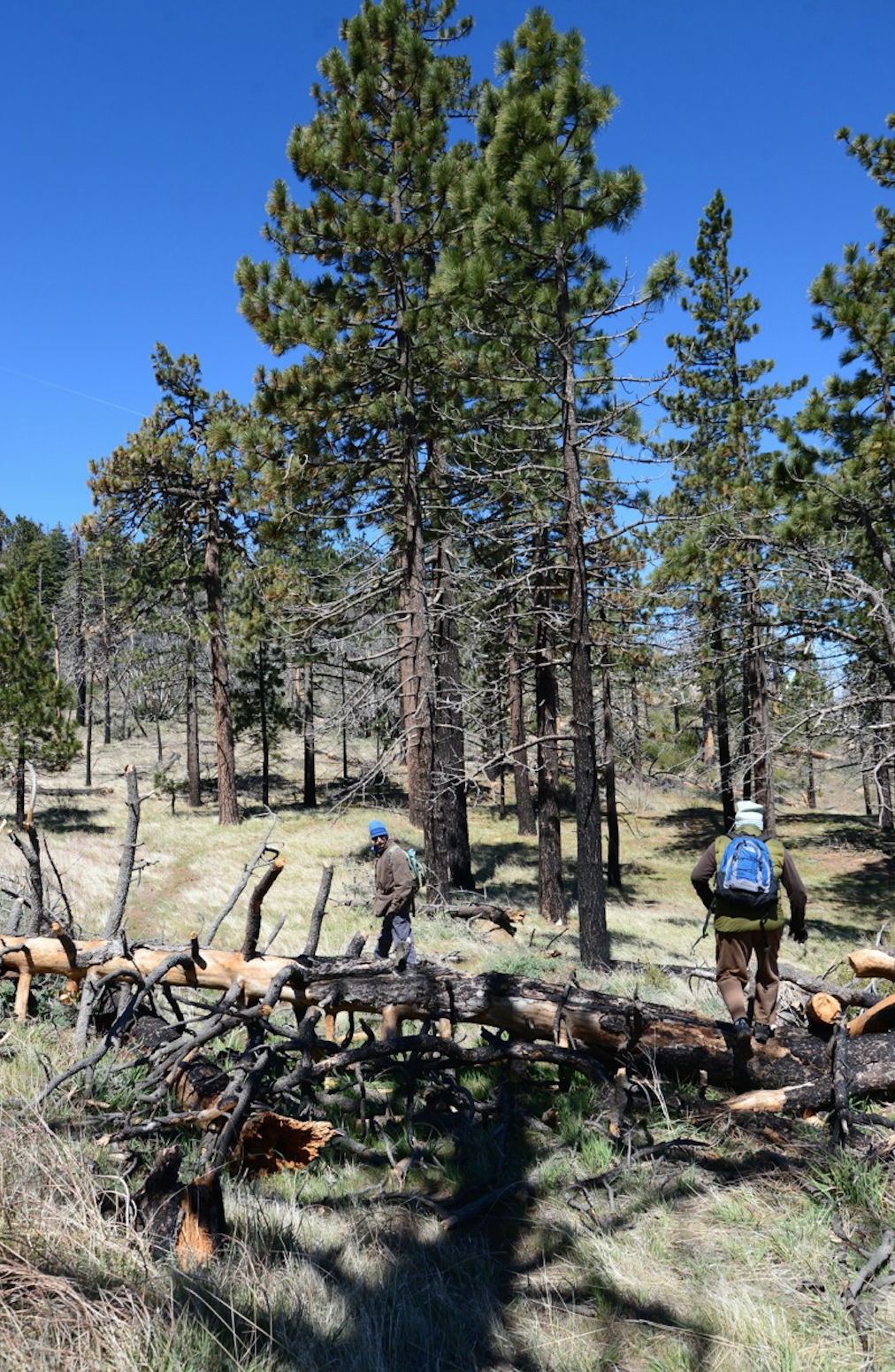
photo Humphrey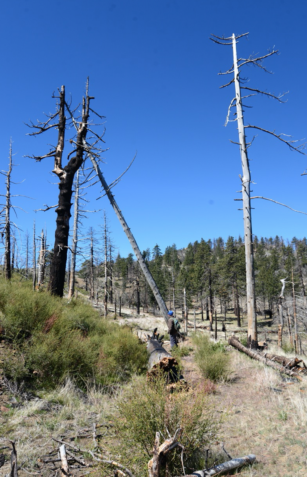
photo Humphrey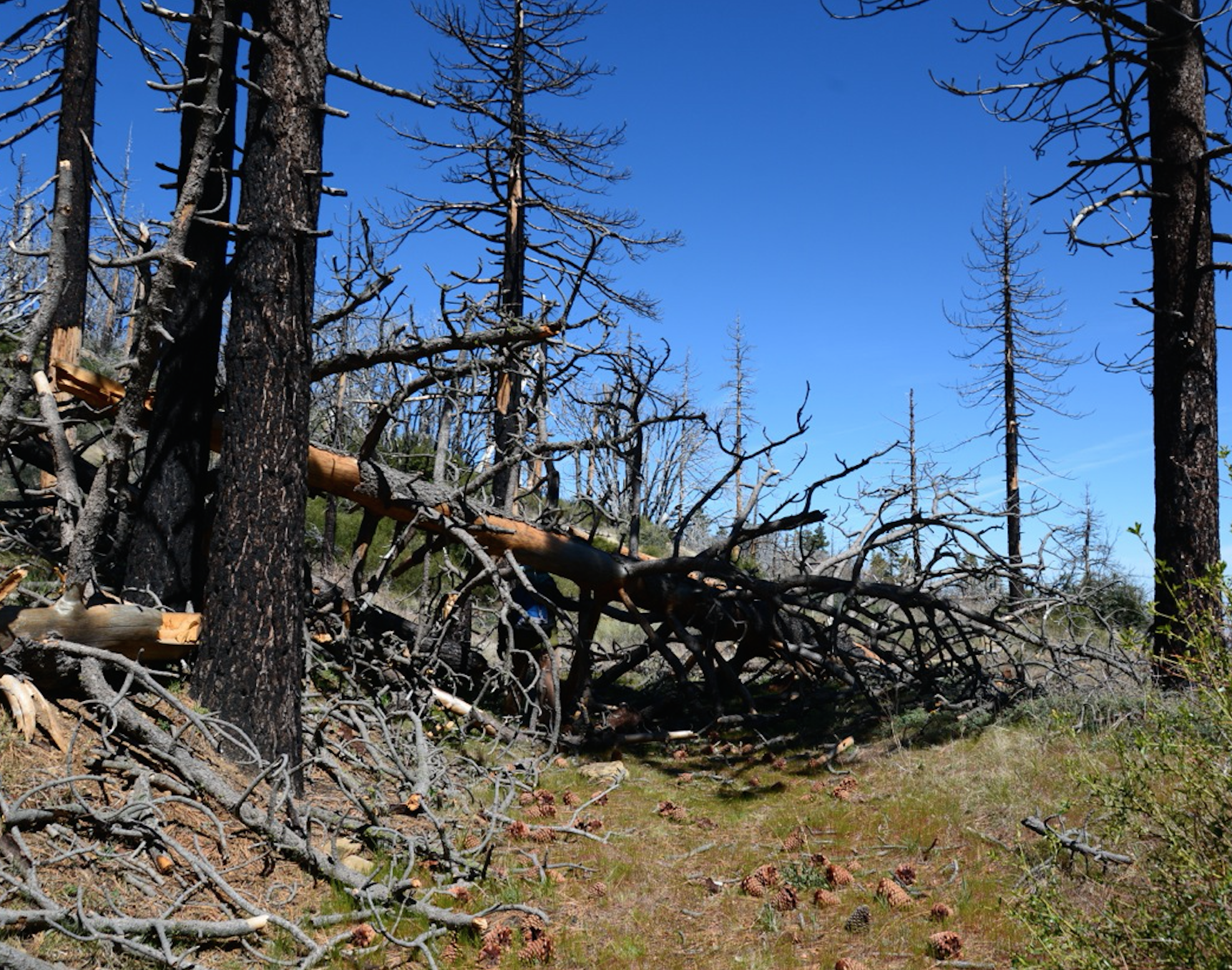
photo Humphrey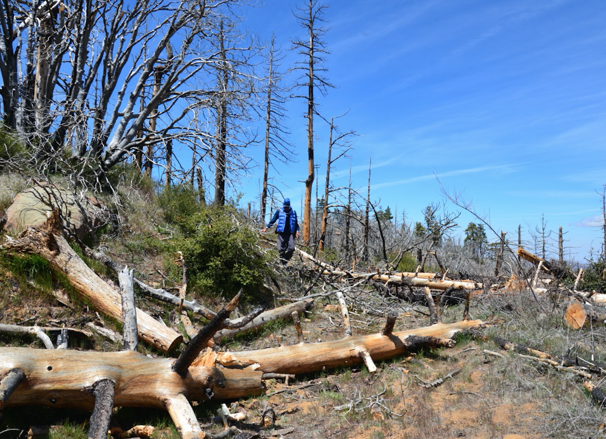
photo Humphrey - Santa Barbara Canyon Trail Survey - 05-01-2015 - by Hike Los Padres
Link: Santa Barbara Canyon Trail Date: 05-01-2015 Surveyor Name: Hike Los Padres Trail description: Mount Pinos Volunteer Wilderness Rangers patrolled the SB Cyn Trail and removed a few downed trees before Heart Break Hill. Mode of transport: Array Trail condition: Needs some work Images: 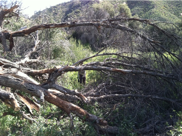
Before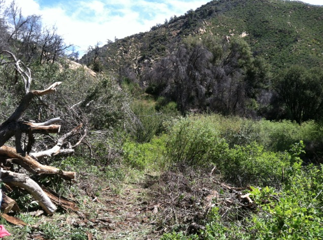
After - Cerro Alto Loop Trail Survey - 04-29-2015 - by Meghan Sheen
Link: Cerro Alto Loop Trail Date: 04-29-2015 Surveyor Name: Meghan Sheen Trail description: Beautiful trail, absolutely stunning view from the summit. 360* views of SLO, Morro Bay, Atascadero, and beyond. Seriously, killer views and worth every ounce of sweat to get there.
Trail was well traveled and maintained. Saw California Newts, a young rattler, banana slugs, wildflowers and butterflies.ÂMode of transport: Hike Trail condition: Good shape and easy to follow Images: 
View towards Morro Bay from the summit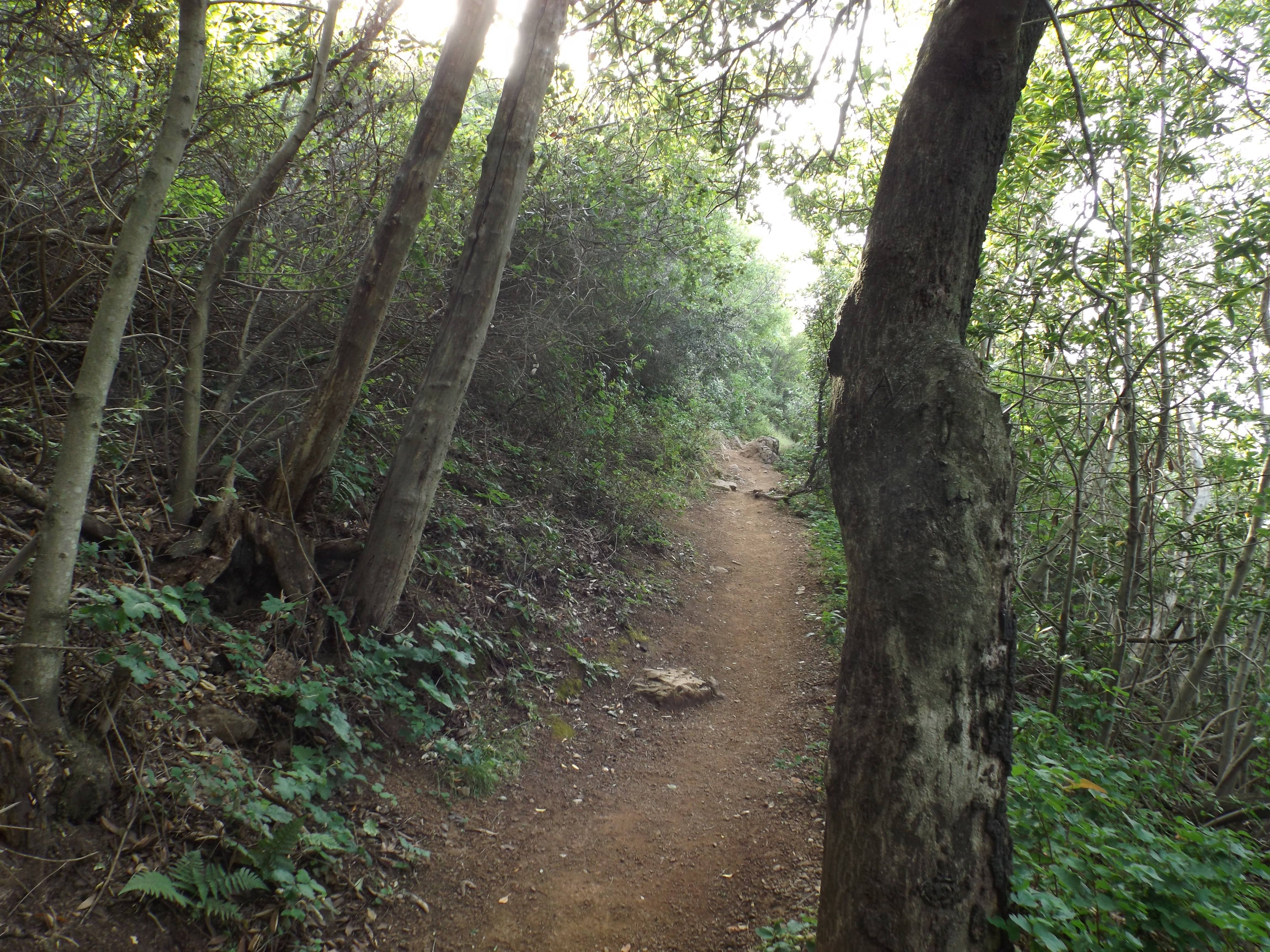
Trail shot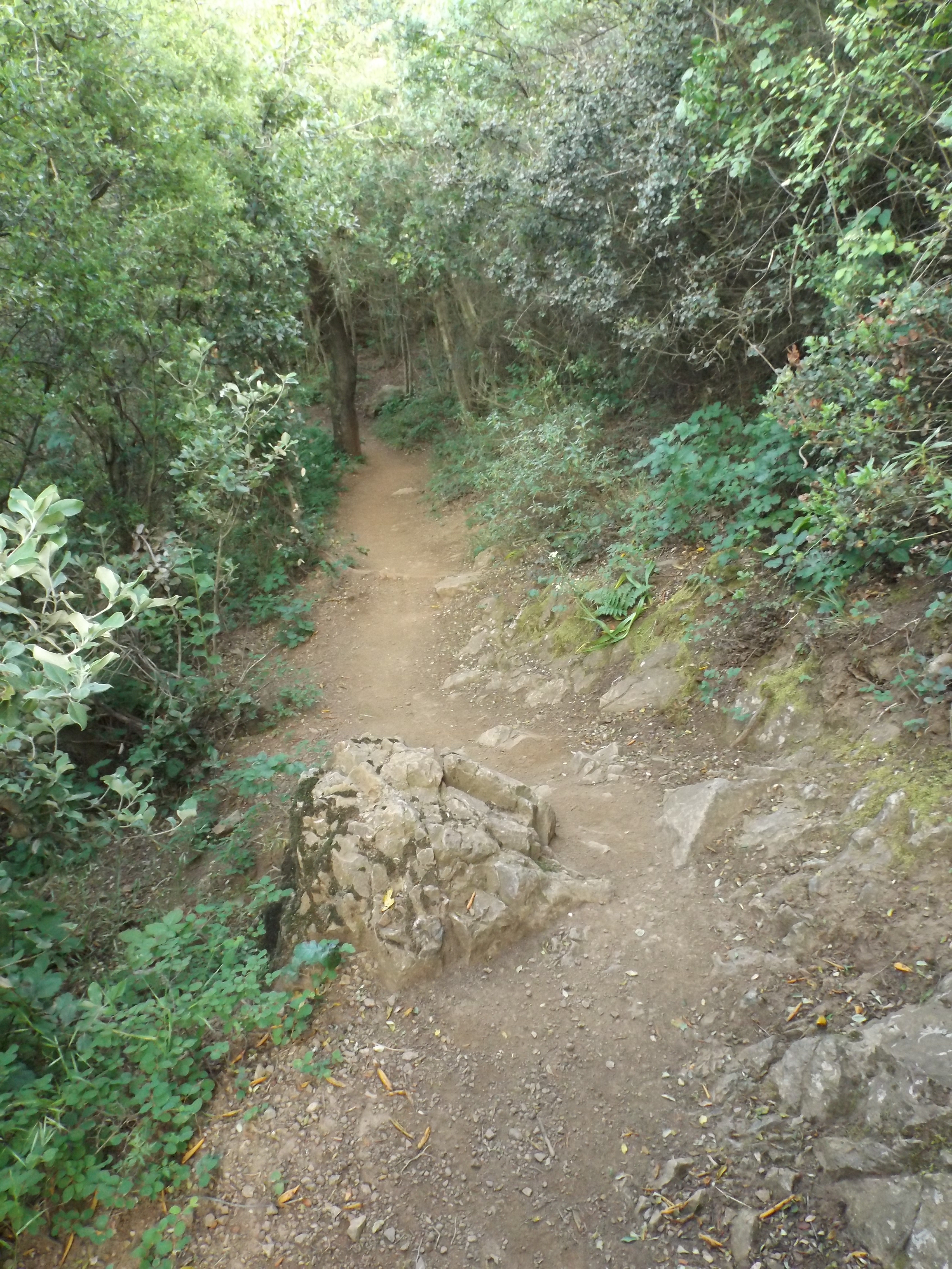
Trail shot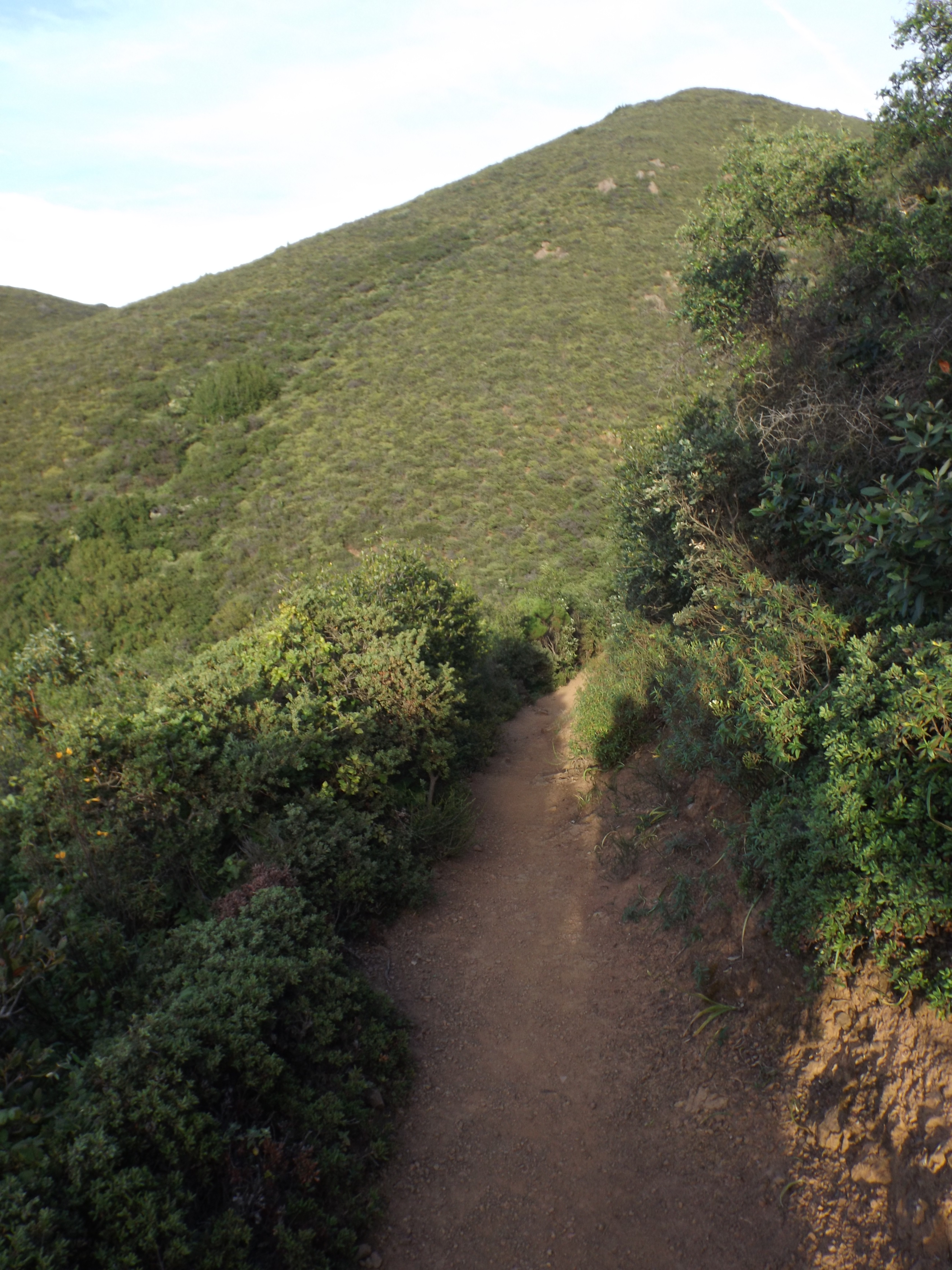
trail shot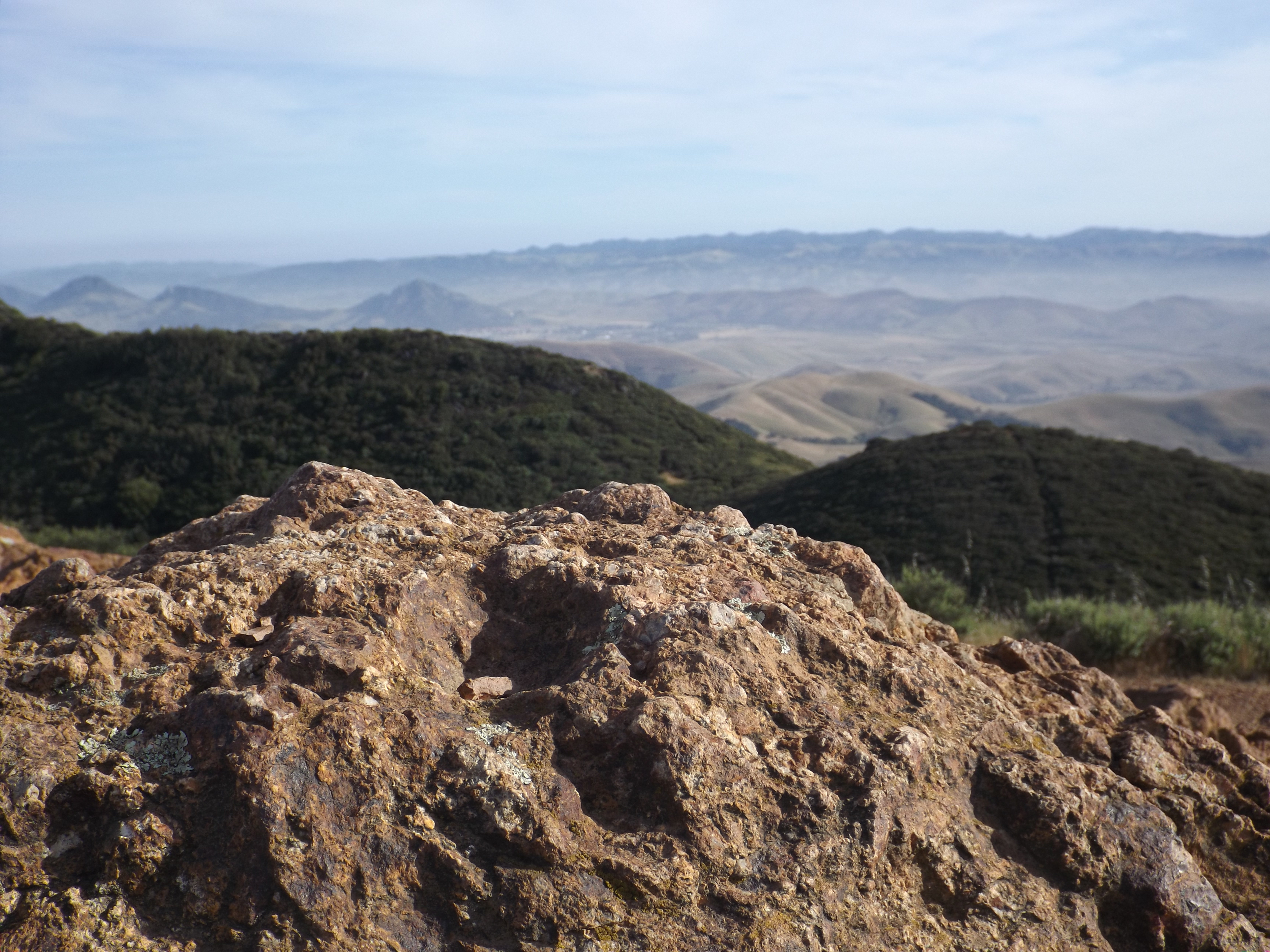
view from the top towards SLO - Arroyo Burro Trail Survey - 04-26-2015 - by Jeff B.
Link: Arroyo Burro Trail Date: 04-26-2015 Surveyor Name: Jeff B. Trail description: Note that this surveys the section of trail from E. Camino northward (downhill toward the SY River). Trail is in generally good shape, and is easy to follow- but poison oak is abundant in numerous locations. Exercise due caution. Mode of transport: Bicycle Trail condition: Good shape and easy to follow - Judell Trail Survey - 04-26-2015 - by Los Padres Forest Association
Link: Judell Trail Date: 04-26-2015 Surveyor Name: Los Padres Forest Association Trail description: April 2015The LPFA hosted a 10-day Working Vacation to work the Judell and Upper Sisquoc Trails. Â We spent 3 days on the Judell making it stock passable. Â Cleared trees, removed a few slides and brushed to make it passable and to standard. Â The trail is in great shape, especially after having stock traveling up and down the trail at least half a dozen times over the 10 days.Mode of transport: Array Trail condition: Good shape and easy to follow Images: 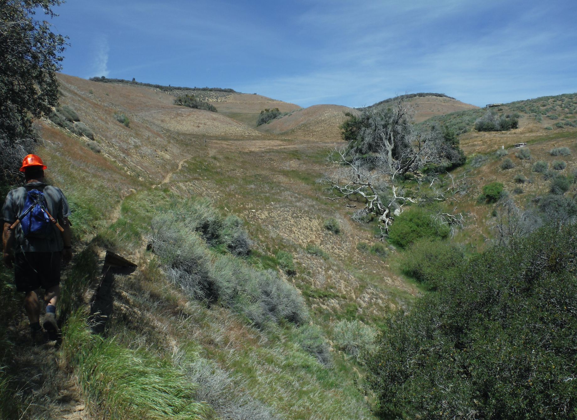
Top of Judell, outside the wilderness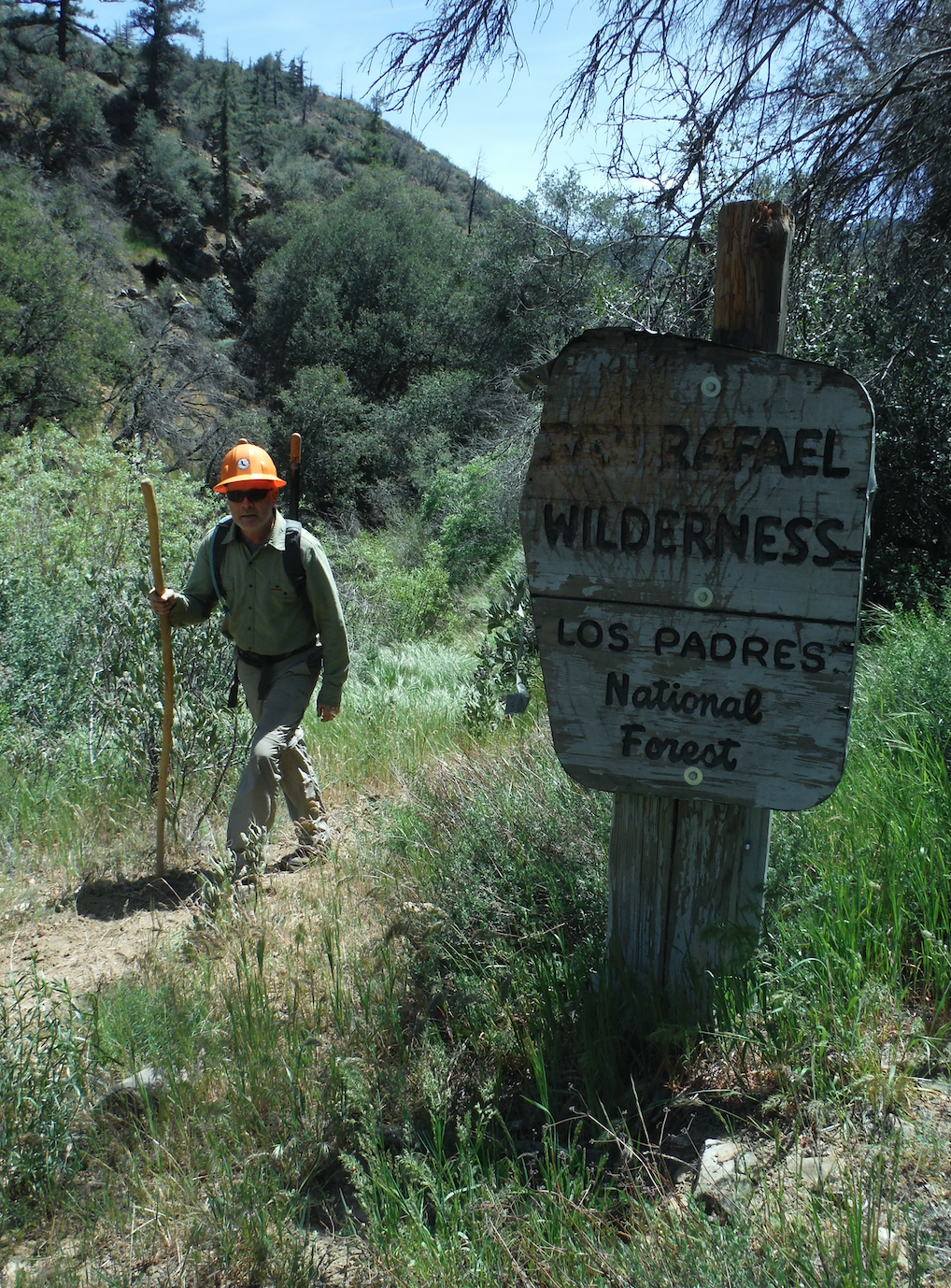
Best San Rafael sign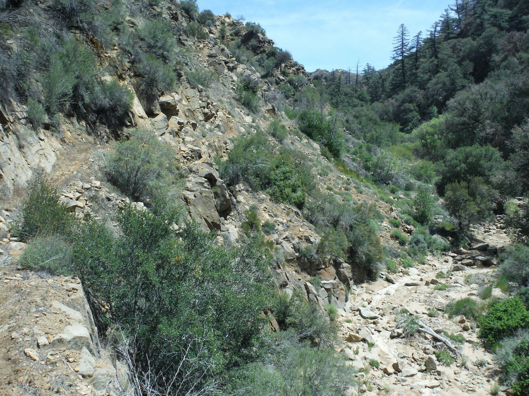
Trail along a higher section above the creek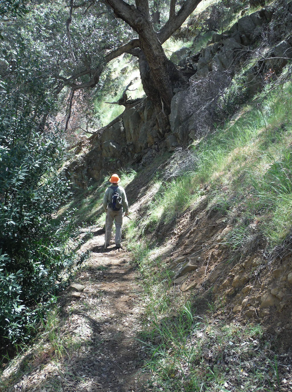
The famous Judell oak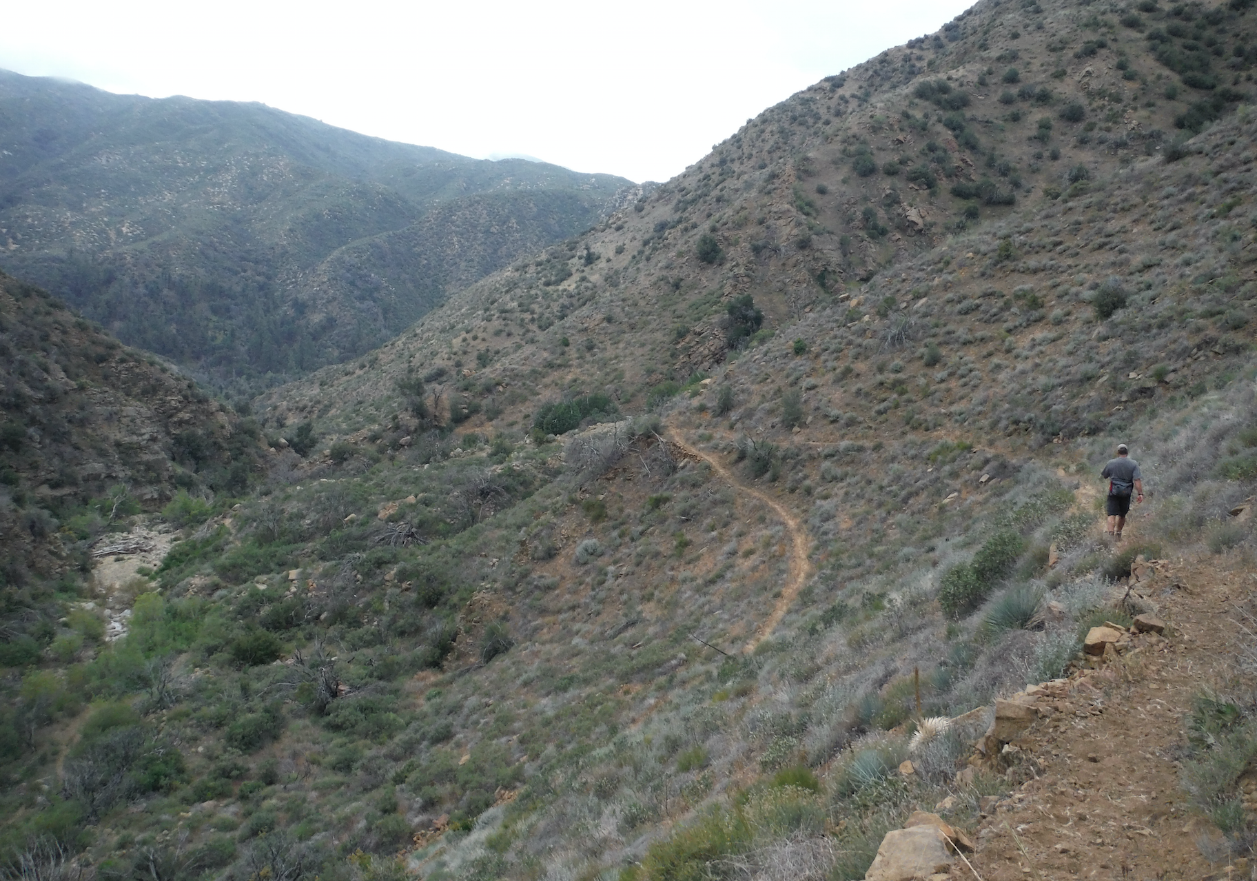
Switchbacks into Rattlesnake Alley - Snowy OHV Trail Survey - 04-25-2015 - by kevracer
Link: Snowy OHV Trail Date: 04-25-2015 Surveyor Name: kevracer Trail description: A bunch of volunteers and I just finished clearing this trail yesterday of all the fallen burned trees. Upper half of trail is a nice easy ride through whats left of the forest. bottom half is double black diamond for experienced riders only. Mode of transport: O.H.V. Trail condition: Good shape and easy to follow Images: 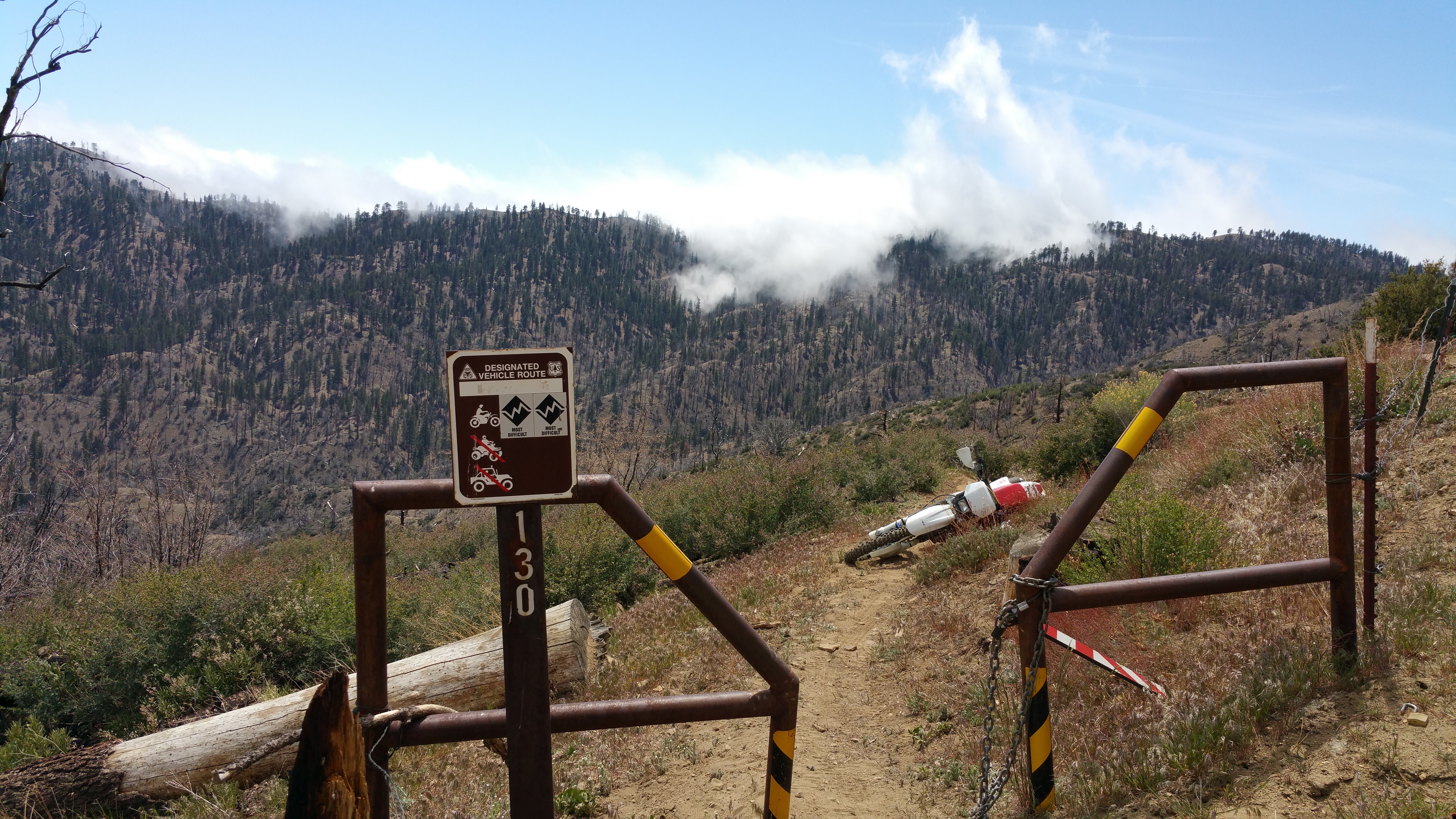
upper entrance to snowy trail
view from about midway down snowy trail - Santa Barbara Canyon Trail Survey - 04-25-2015 - by Los Padres Forest Association
Link: Santa Barbara Canyon Trail Date: 04-25-2015 Surveyor Name: Los Padres Forest Association Trail description: • Most of the crossings along SB Canyon had water.Mode of transport: Hike Trail condition: Needs some work - Fir Canyon Davy Brown Trail Survey - 04-23-2015 - by Meghan Sheen
Link: Fir Canyon Davy Brown Trail Date: 04-23-2015 Surveyor Name: Meghan Sheen Trail description: Good shape, easy to follow, found some fun things along the trail like an old cabin remnant and a few Chumash Mortar bowls. 198trailscrew Mode of transport: Hike Trail condition: Good shape and easy to follow Images: 
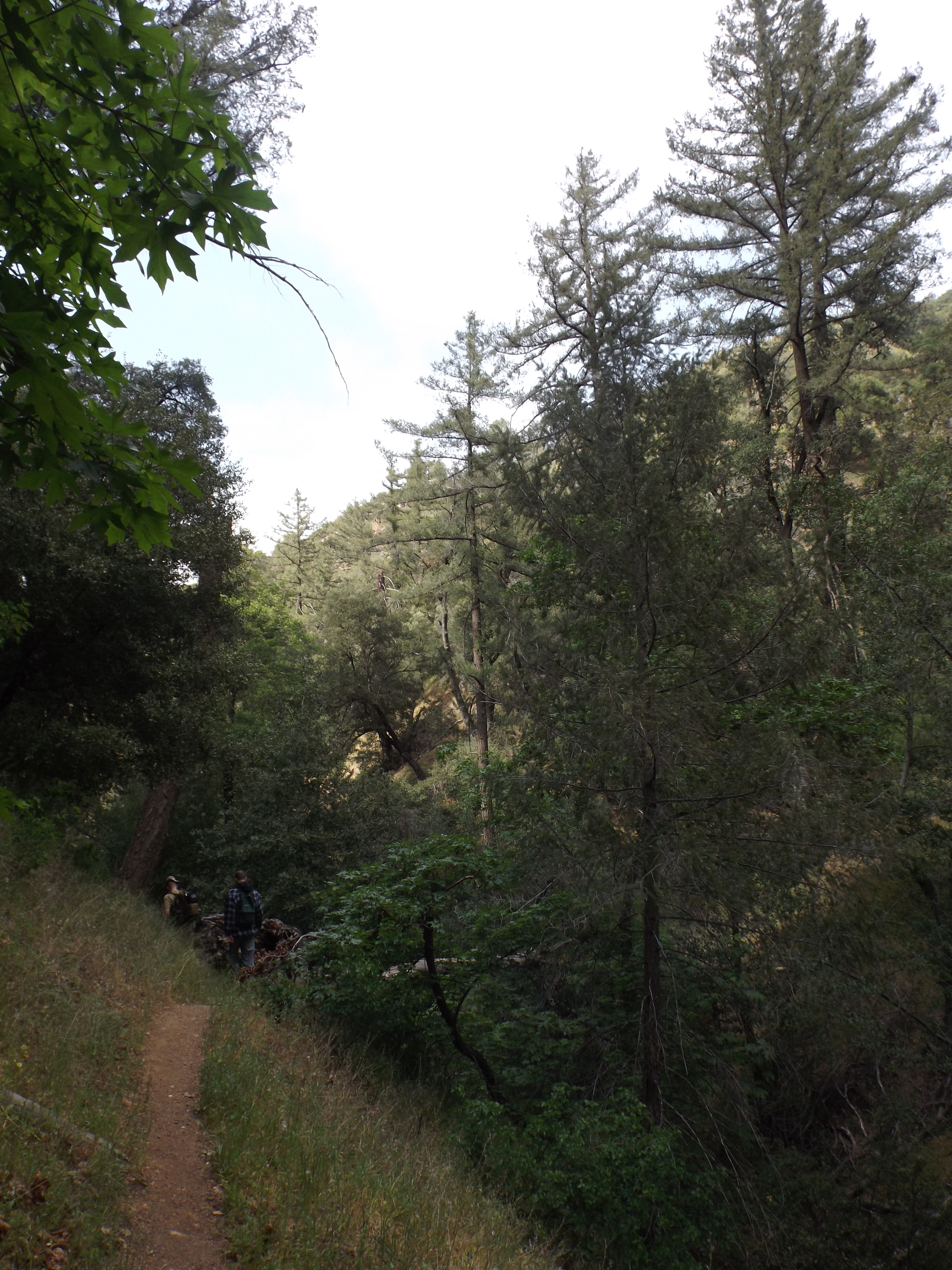
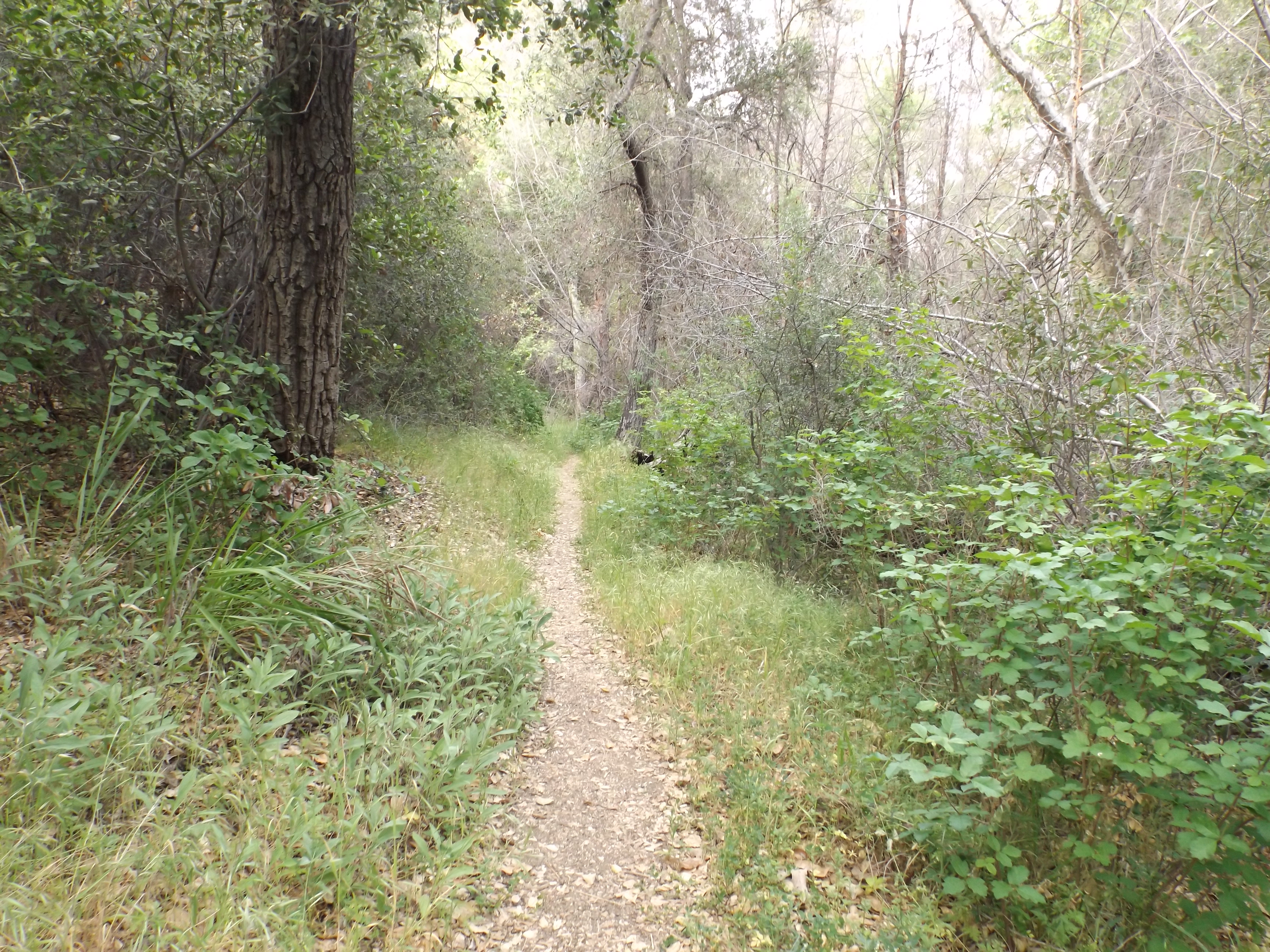
- Manzana Trail East (Upper) Survey - 04-23-2015 - by M. Jones
Link: Manzana Trail East (Upper) Date: 04-23-2015 Surveyor Name: M. Jones Trail description: Hiked the upper Manzana trail from Nira to about ¾ mile past White Ledge Camp. GPS said 27.6 mile day trip after some exploring in a unnamed drainage down canyon past White Ledge Camp.
Overall trail is in good condition. There was water at Nira and Lost Valley camp site but none in the creek until Rays Camp. Manzana and the Narrows both and had good water. There was also a little flow about a ½ mile past the unofficial “alcove†camp in the drainage and at the waterfall before heading up to the top of white ledge canyon. There was no water at Happy Hunting Ground but was a small stagnant pool about a ¼ past the camp site. Where the trail enters the canyon ¾ of a mile before White Ledge Camp it can be hard to follow in places, rock ducts and flags mark the path through the creek bed sections. At this point there was also a little flowing water which continued all the way down canyon.
Mode of transport: Hike Trail condition: Good shape and easy to follow Images: 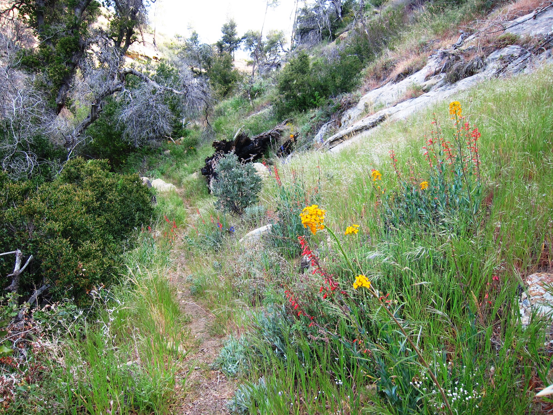

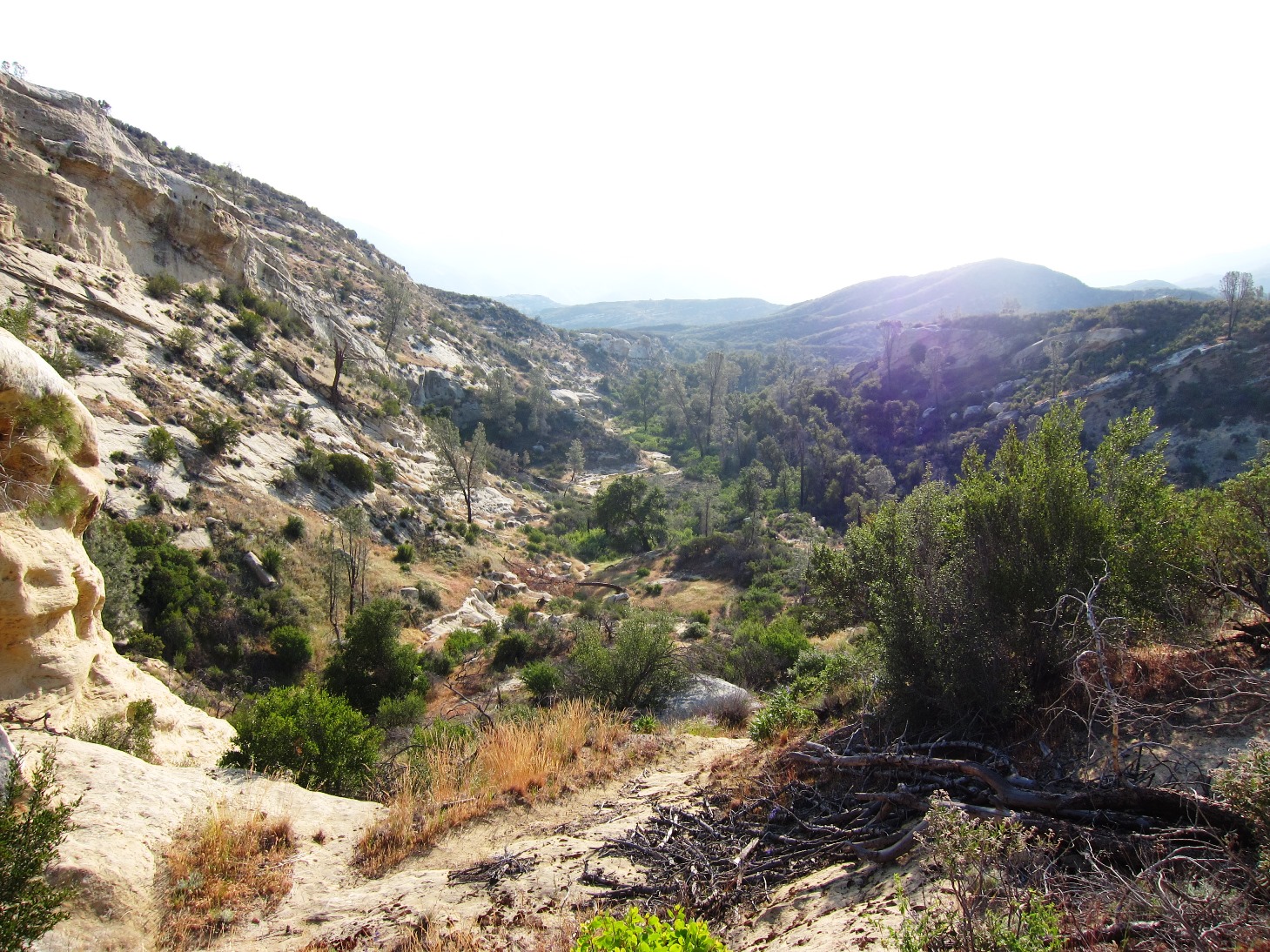
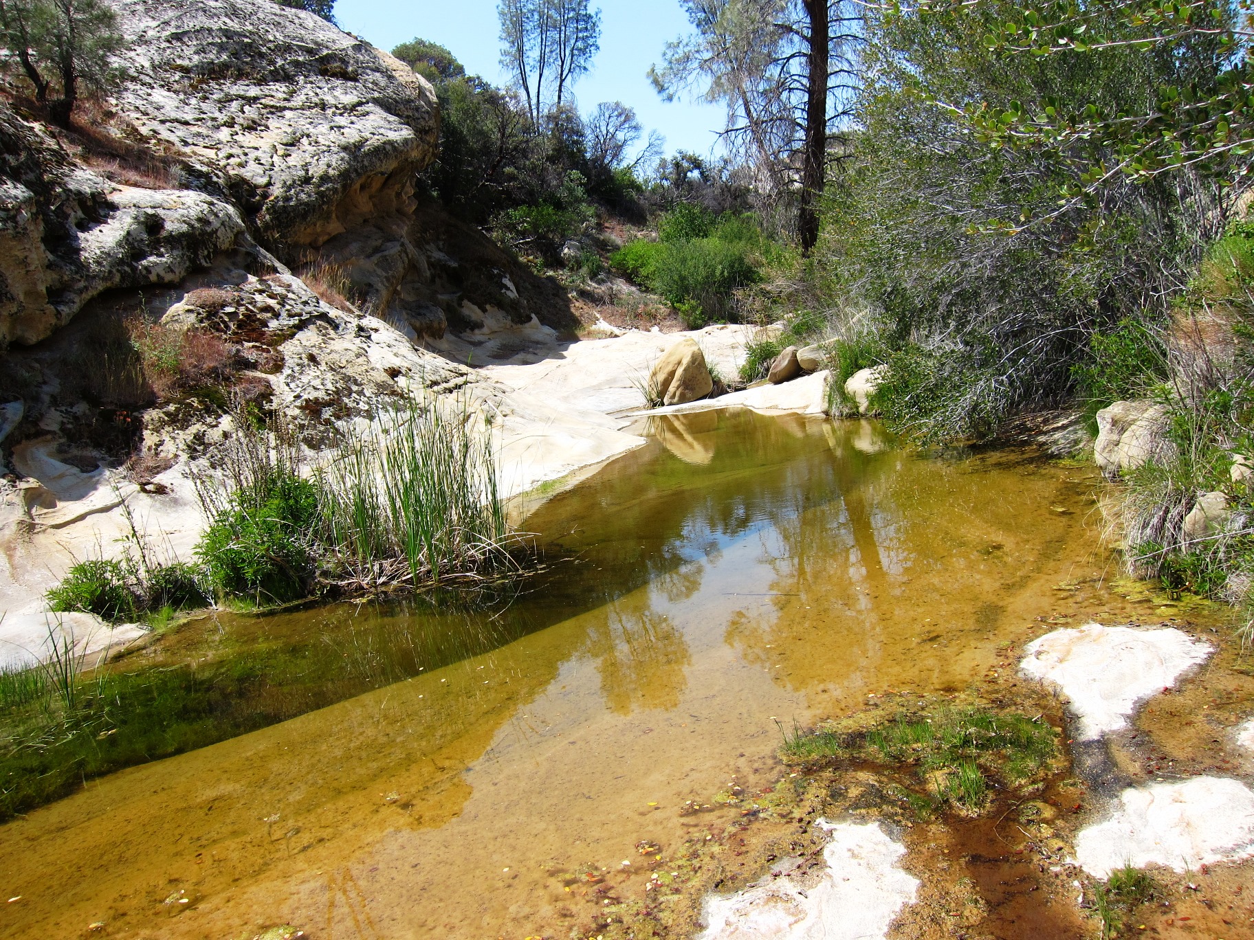
- Lopez Canyon Trail Survey - 04-22-2015 - by Anonymous Surveyor
Link: Lopez Canyon Trail Date: 04-22-2015 Surveyor Name: Anonymous Surveyor Trail description: I planned a trip to backpack on this trail and it turned out to not work.  First if you enter from the northwest, you have to hike in an extra 4 miles due to closed gate.  I planned to drive in on the south east due to ranger recommendation.  I was not able to make it due to running water (Yes water in CA ruined my trip LOL ) crossing the road.  I later learned that there were several river crossings.  So if you plan to take this hike from the High Lopez road then be ready to have a high clearance 4x4 vehicle. Mode of transport: Hike Trail condition: Hard to follow - Munch Canyon Trail Survey - 04-22-2015 - by Meghan Sheen
Link: Munch Canyon Trail Date: 04-22-2015 Surveyor Name: Meghan Sheen Trail description: We took Munch Canyon Trail from Sunset Valley road all the way to Davy Brown Trail. It was in good shape, looks as though someone has recently brushed it all the way up. Some spots of loose rock and old washouts were a little slippery to negotiate but overall a good day hike. Mode of transport: Hike Trail condition: Good shape and easy to follow Images: 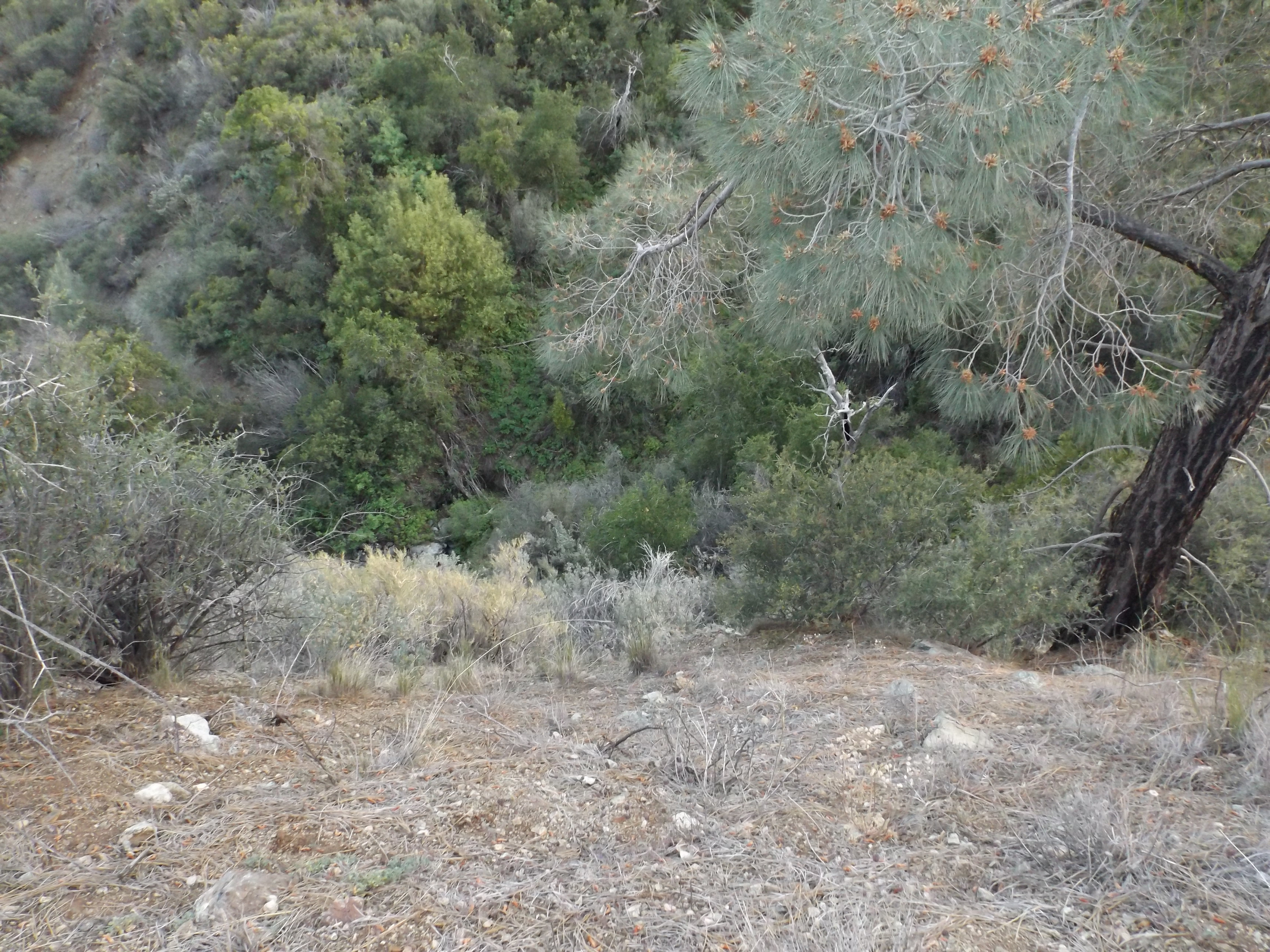
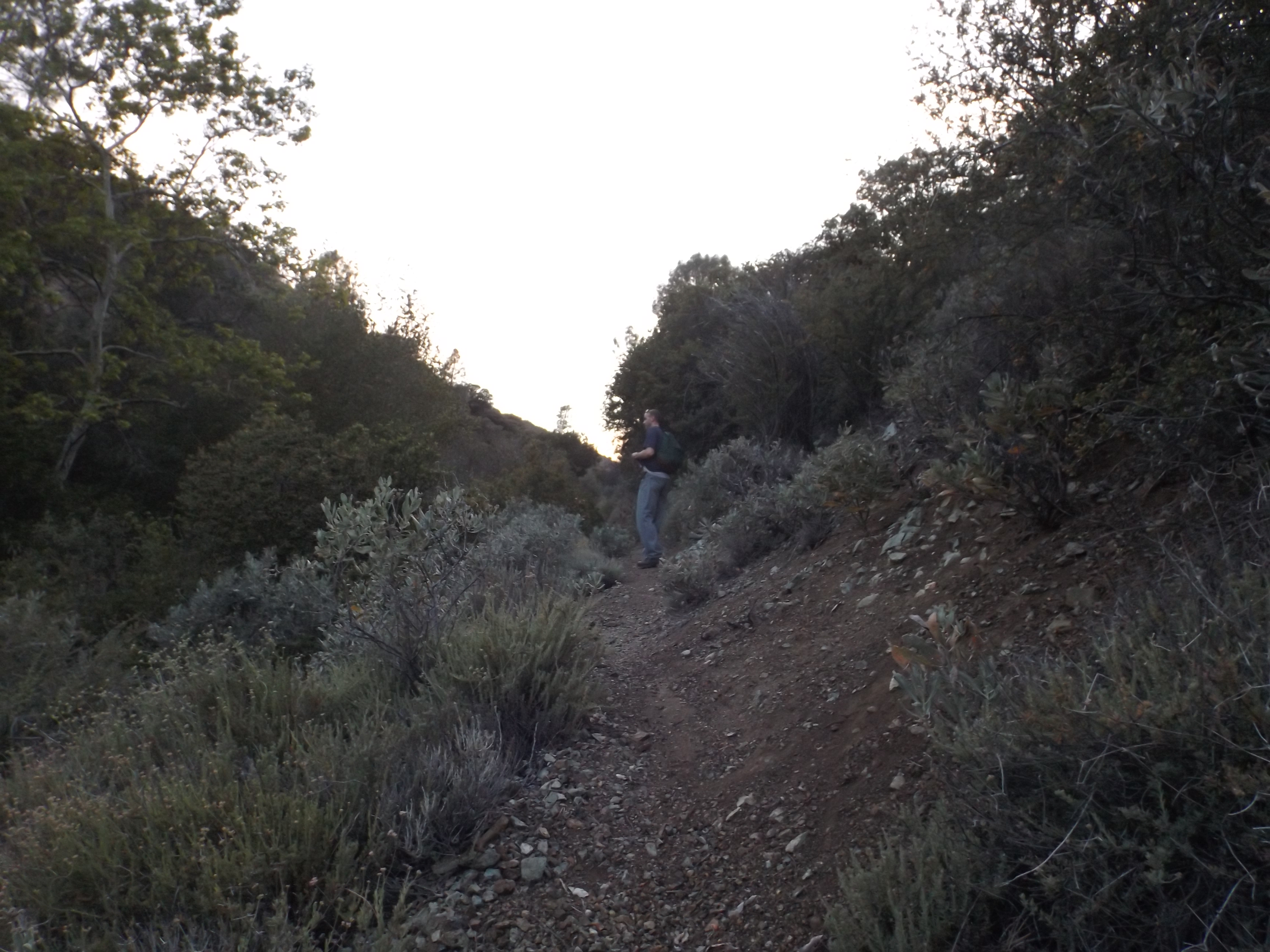
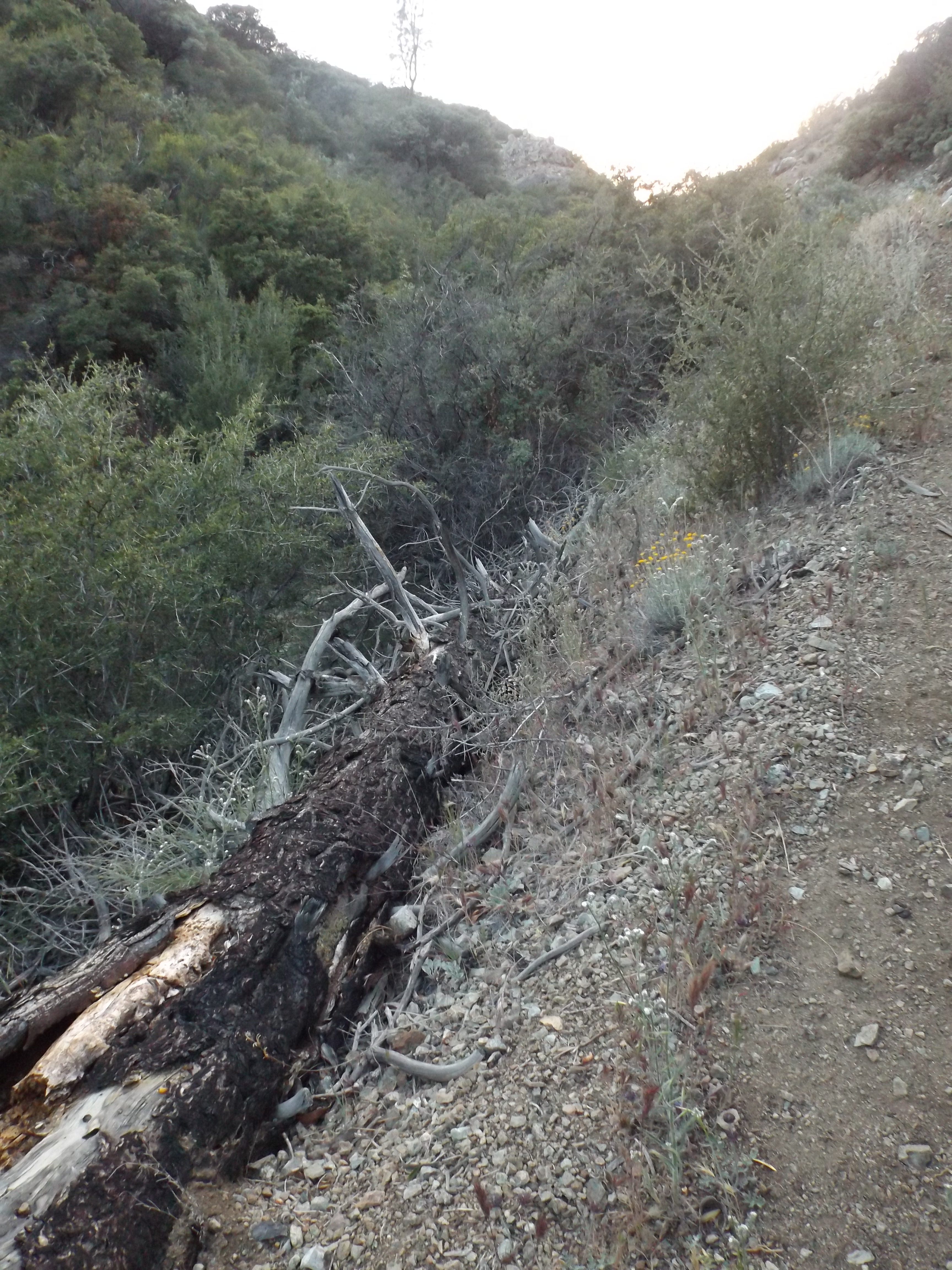
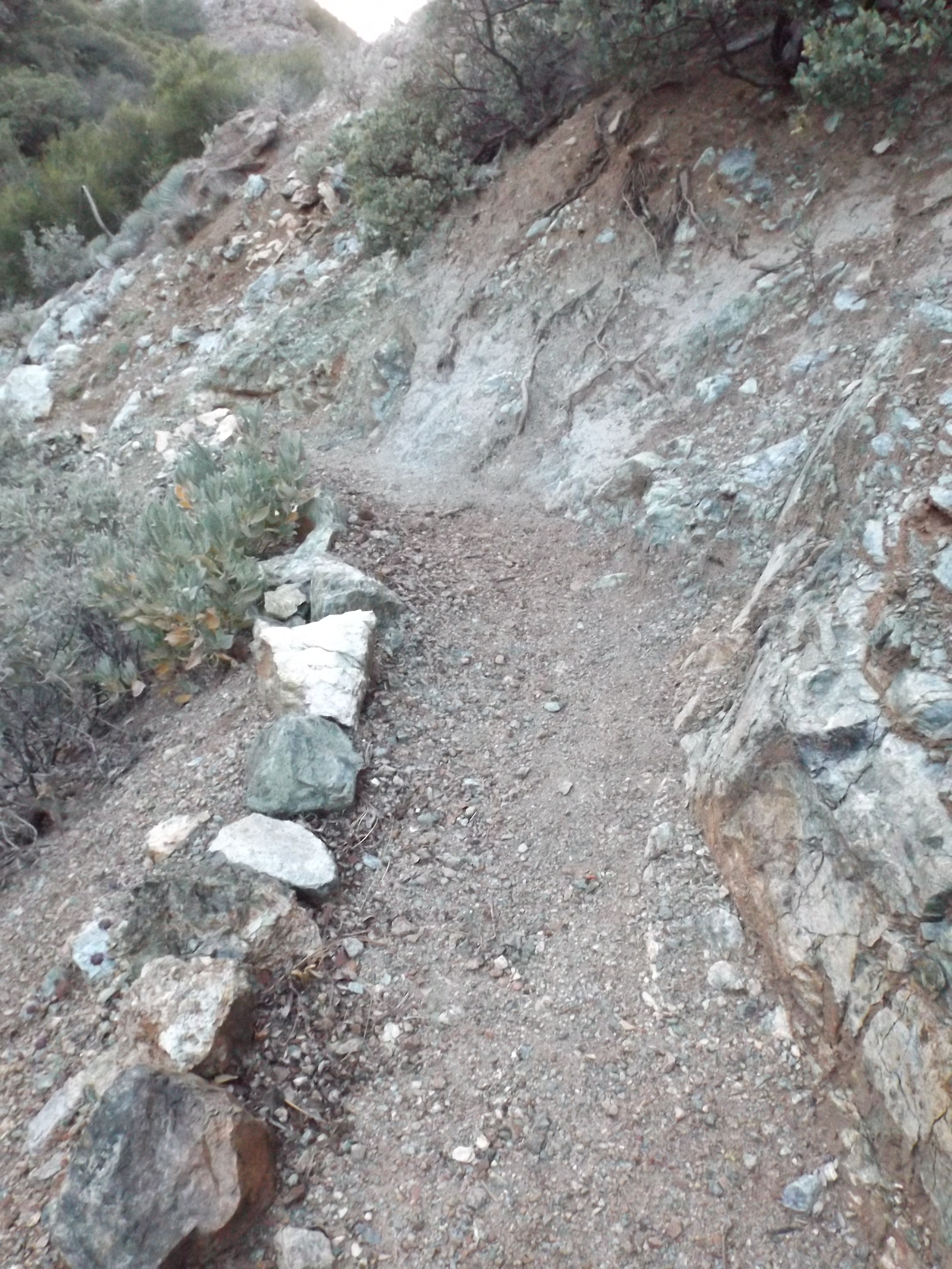
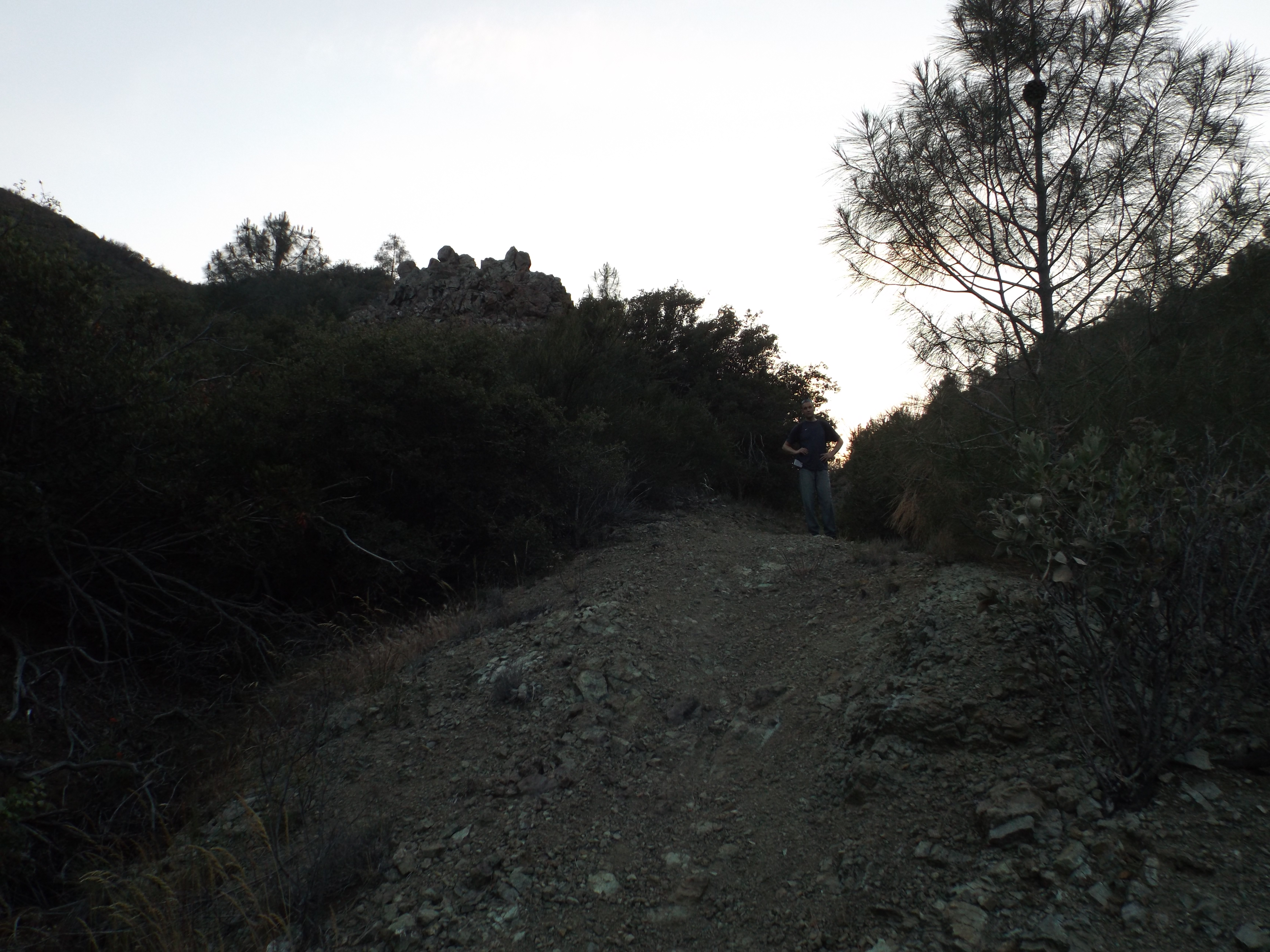
- Big Cone Spruce Trail Survey - 04-19-2015 - by Shriner
Link: Big Cone Spruce Trail Date: 04-19-2015 Surveyor Name: Shriner Trail description: Trail seemed obvious but needed some brushing. Turned around after having enough of the tick fest. Incomplete report Mode of transport: Hike Trail condition: Needs some work Condition details: Ticks and brush are await. - Big Cone Spruce Trail Survey - 04-19-2015 - by Shriner
Link: Big Cone Spruce Trail Date: 04-19-2015 Surveyor Name: Shriner Trail description: Trail seemed obvious but needed some brushing. Turned around after having enough of the tick fest. Incomplete report Mode of transport: Hike Trail condition: Needs some work Condition details: Ticks and brush are await. - San Antonio Trail Survey - 04-19-2015 - by Richard Shiers
Link: San Antonio Trail Date: 04-19-2015 Surveyor Name: Richard Shiers Trail description: I started my backpacking trip on Nacimiento Furguson Rd. I hiked up Cone Peak road and then hit the San Antonio trail down to Fresno Camp which is as far as I made it. This trail has not been used much in years and it was quite the adventure. It was completely overgrown and covered with poison oak and blowdowns. Lots of climbing under and over dead trees and even bushwhacking through poison oak almost the entire mile and a half down this trail to Fresno Camp. The trail completely disappeared when I got down to the camp. I found two old campsites at Fresno Camp and there was still water flowing in the San Antonio river. The camp was pretty cool though since I was looking for solitude and this was definitely the place. However, I would not recommend this trail unless you are looking for a challenge and if you want to go further on to San Antonio camp, good luck because I couldn't find the trail. Mode of transport: Hike Trail condition: Hard to follow Condition details: Seldom used trail. Poor quality. Images: 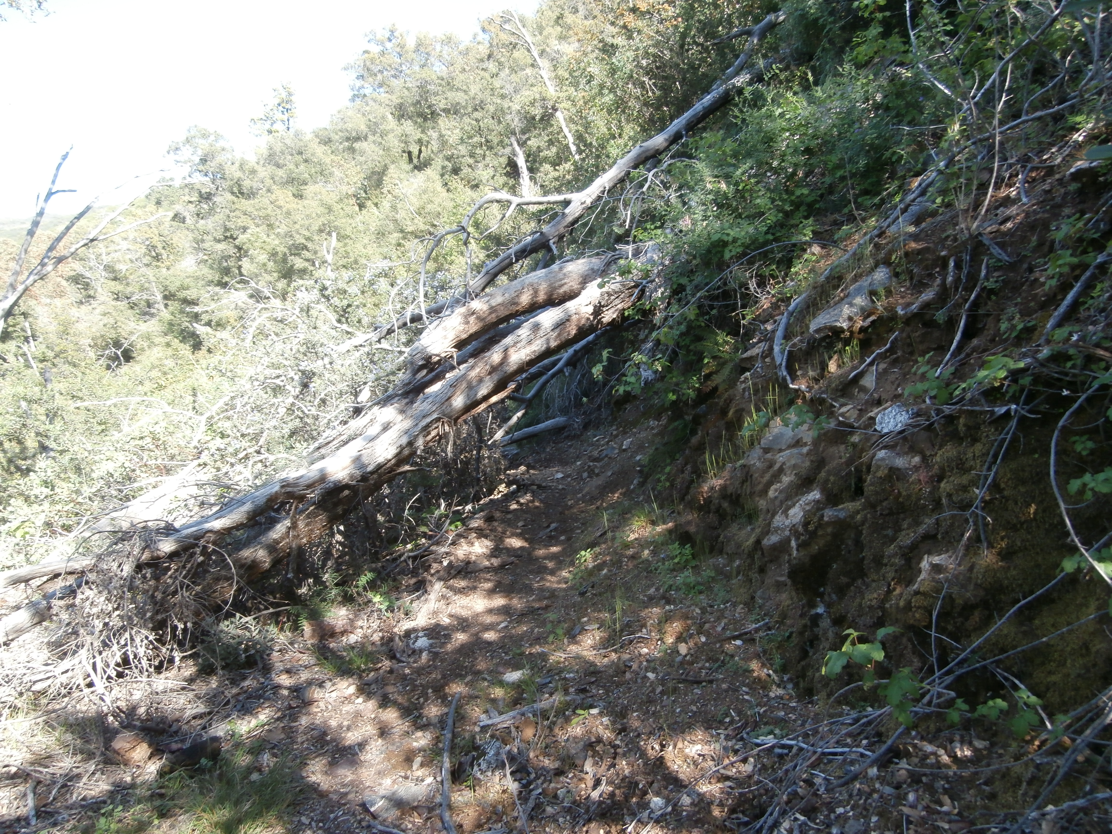
One of many blowdowns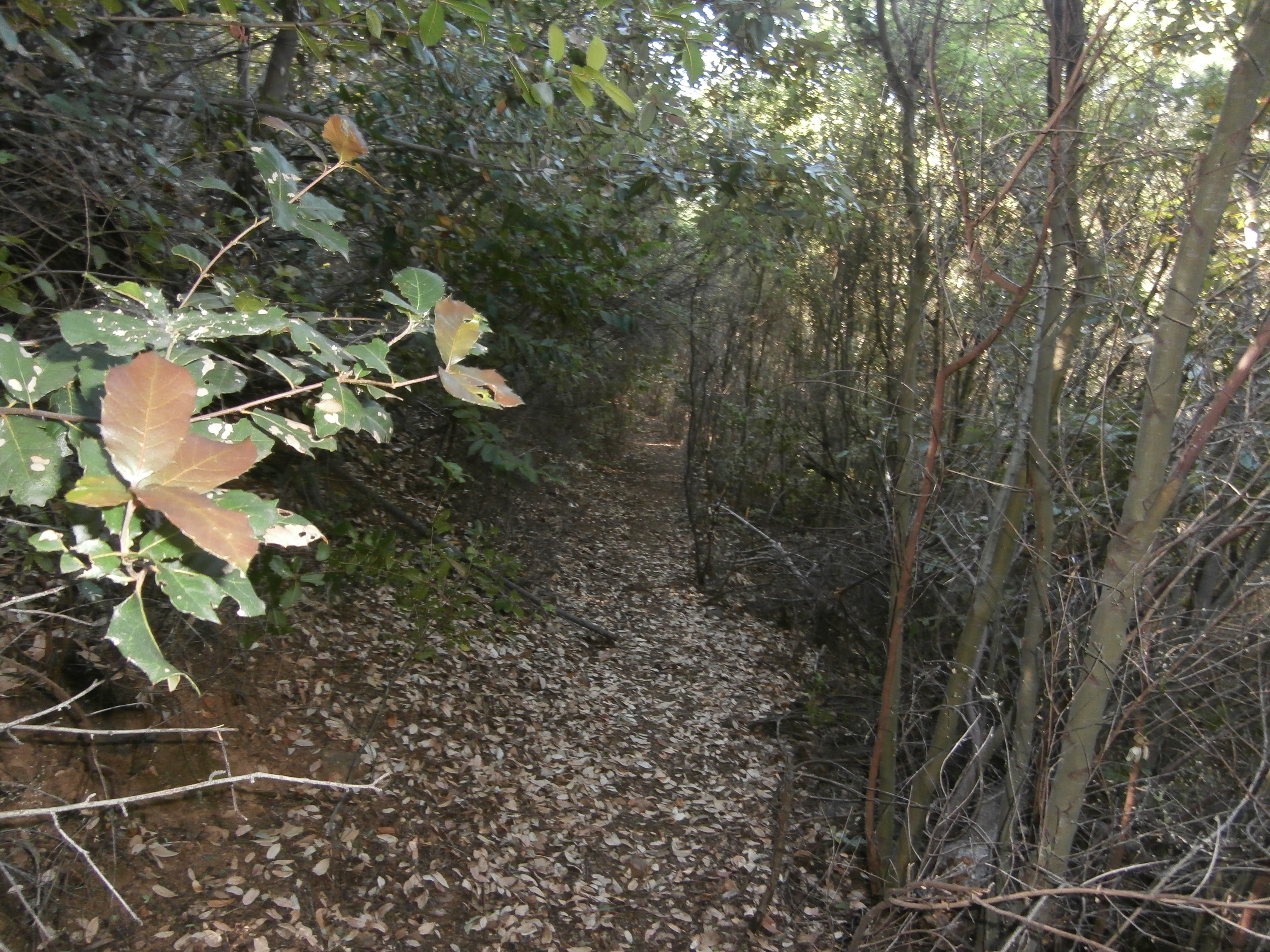
Overgrown trail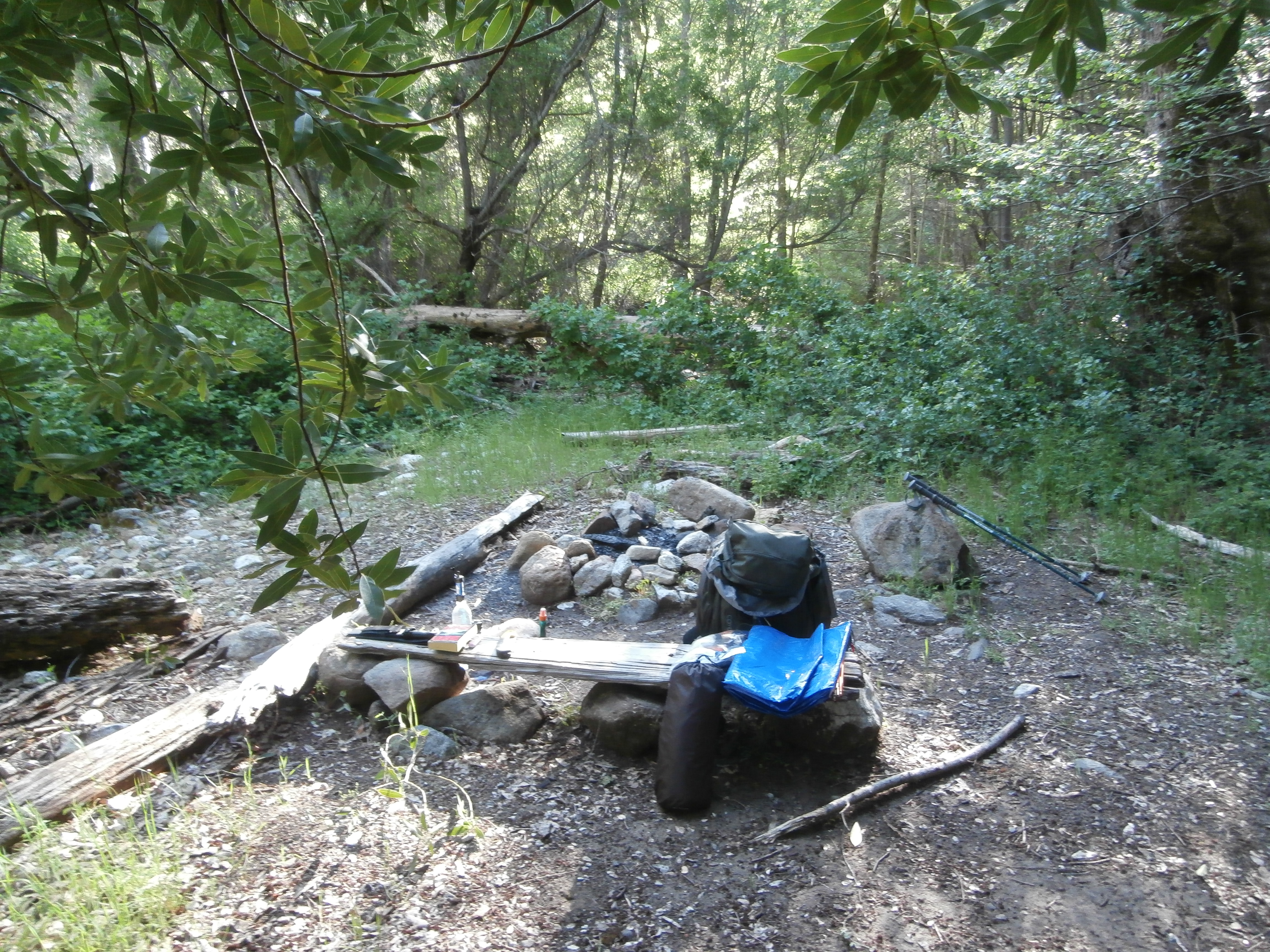
Campsite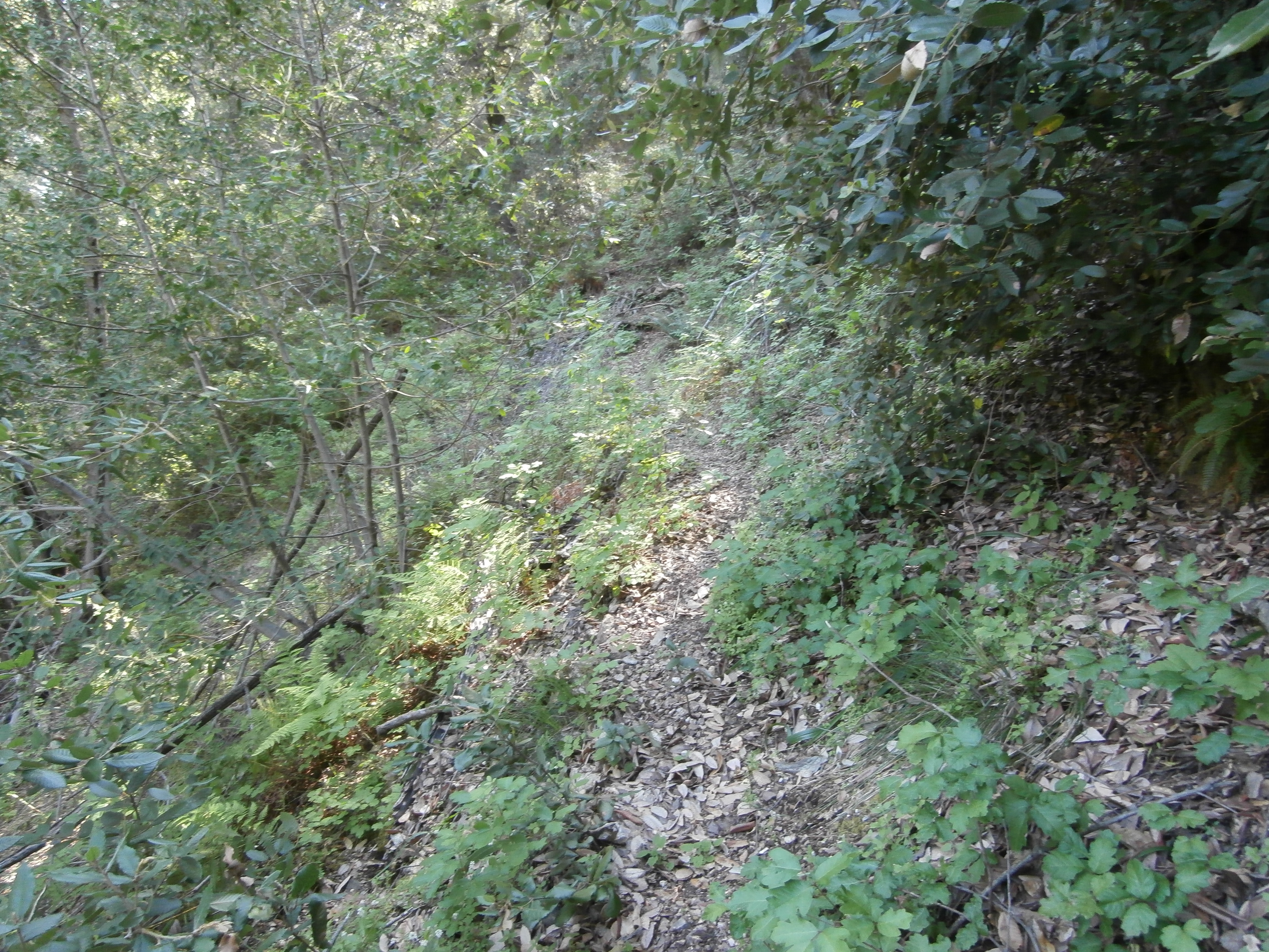
Lots of poison oak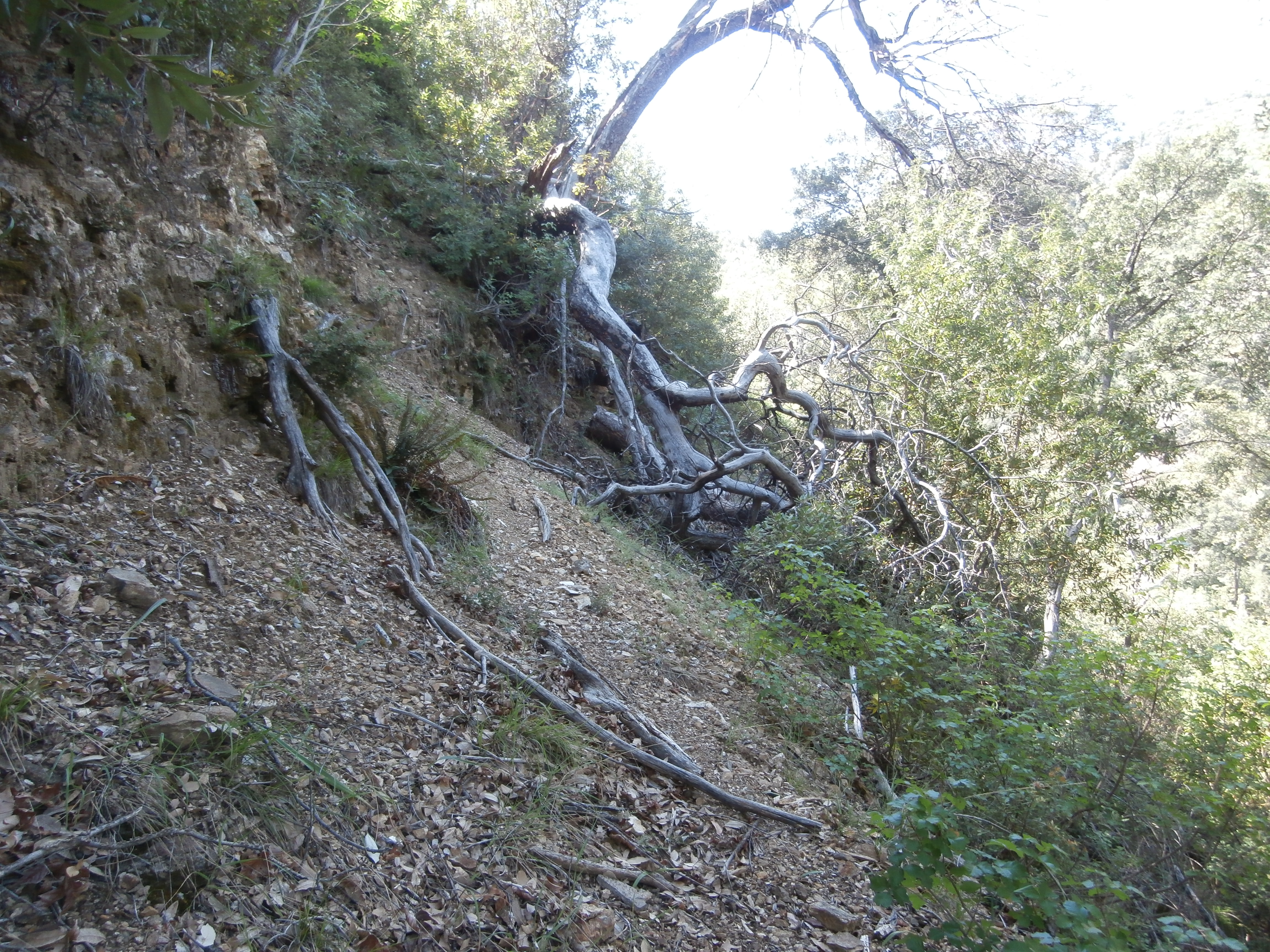
More poor trail conditions - Yellowjacket OHV Trail Survey - 04-18-2015 - by Hike Los Padres
Link: Yellowjacket OHV Trail Date: 04-18-2015 Surveyor Name: Hike Los Padres Trail description: UTMC, VCMC and Bakersfield Trailblazers worked together to remove all downed trees across the route. Â Completely cleared, they took out 65 trees over 4 days of work. Â Nicely done! Mode of transport: O.H.V. Trail condition: Good shape and easy to follow - Matias Connector Trail Survey - 04-16-2015 - by Jeff B.
Link: Matias Connector Trail Date: 04-16-2015 Surveyor Name: Jeff B. Trail description: Trail is easy to follow in either direction, but needs some work, as it is quite loose and rocky in places. Mode of transport: Bicycle Trail condition: Needs some work - Sunset Valley Trail Survey - 04-14-2015 - by Meghan Sheen
Link: Sunset Valley Trail Date: 04-14-2015 Surveyor Name: Meghan Sheen Trail description: Map incorrect, Sunset Valley trail is 2.5 miles from Sunset Valley road to Munch Canyon. Trail is in good shape, well maintained and easy to follow. Has been recently brushed and several downed trees cut back. I have attached picture of sign at trailhead and gps mapping of current route. Mode of transport: Hike Trail condition: Good shape and easy to follow Images: 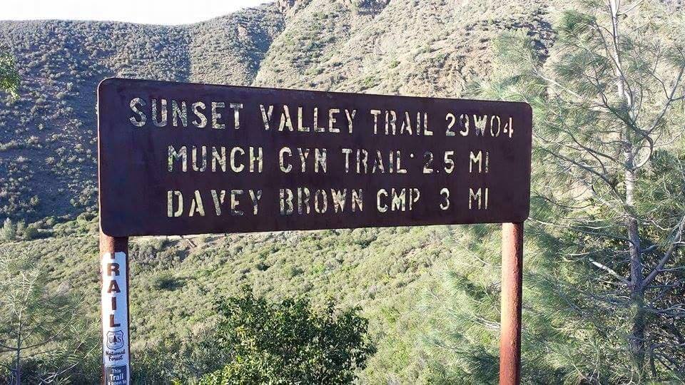
Trailhead at sunset valley rd showing milage to munch canyon trail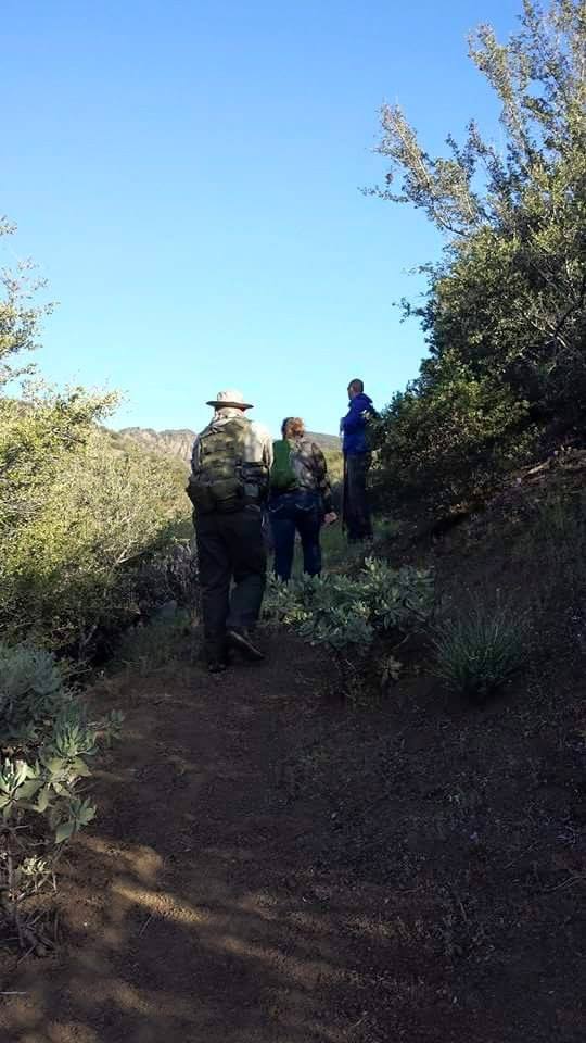
ascending from sunset valley to sunset valley rd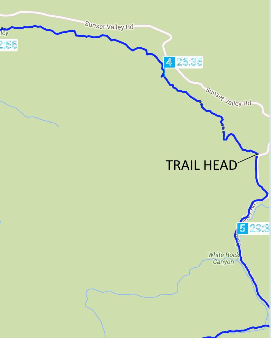
Map of actual trailhead to munch cyn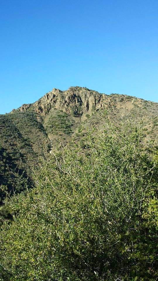
good view from sunset valley - White Rock Connector Trail Survey - 04-14-2015 - by Meghan Sheen
Link: White Rock Connector Trail Date: 04-14-2015 Surveyor Name: Meghan Sheen Trail description: First mile or so could use some very serious brushing. Trail itself is easy to follow but branches make it difficult. We made it through all the way to Munch Cyn. There is water along the trail, as well as a pretty substantial amount of poison oak. Last half towards Munch cyn looks recently brushed. Several burned out widowmaker trees along the route that are pretty unstable.
Also important to note the actual trail mileage is (miles), not 2.32 as shown on the popup/title.Mode of transport: Hike Trail condition: Needs some work Condition details: Needs brushing, first mile or so from White rock. Images: 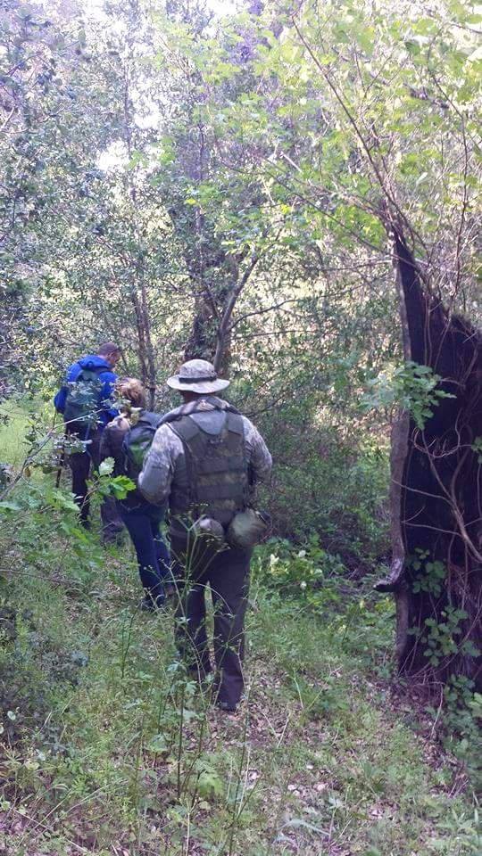
down the trail
watersource
burned over trees
More burned over trees - White Rock Trail Survey - 04-14-2015 - by Meghan Sheen
Link: White Rock Trail Date: 04-14-2015 Surveyor Name: Meghan Sheen Trail description: Good trail, very easy to follow. Water in white rock canyon. Cool abandoned mine equipment and remnants of a mining cabin about .80 miles into the trail from Pinery road. Mode of transport: Hike Trail condition: Good shape and easy to follow Images: 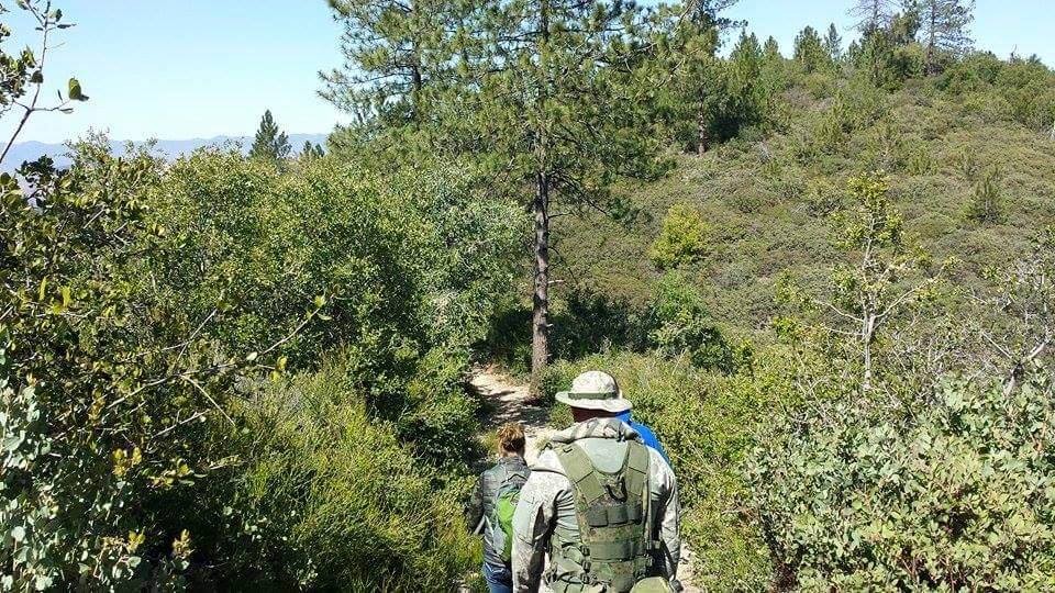
Trail shot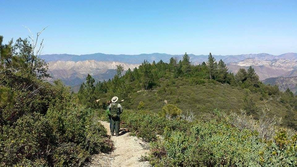
trail shot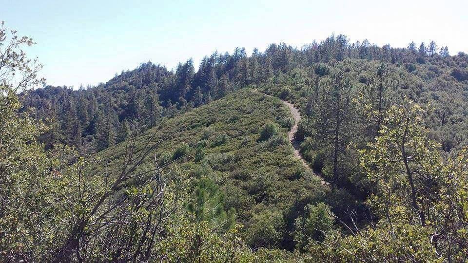
trail shot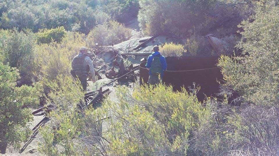
mining remnants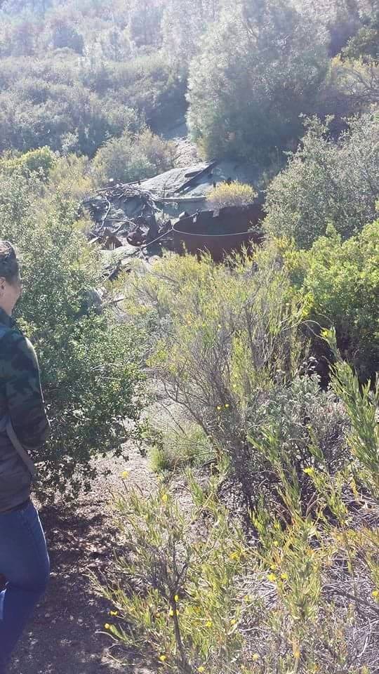
mining remnants - Munch Canyon Trail Survey - 04-14-2015 - by Meghan Sheen
Link: Munch Canyon Trail Date: 04-14-2015 Surveyor Name: Meghan Sheen Trail description: We covered a about a mile from Sunset Valley up to White Rock Connector. Trail was easy to follow and in good shape. Water in Munch Creek. Lots of alligator lizards out and about today. Mode of transport: Hike Trail condition: Good shape and easy to follow Images: 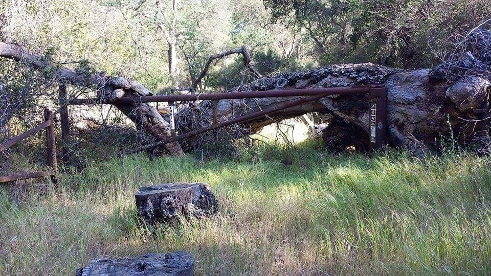
old gate at base of trail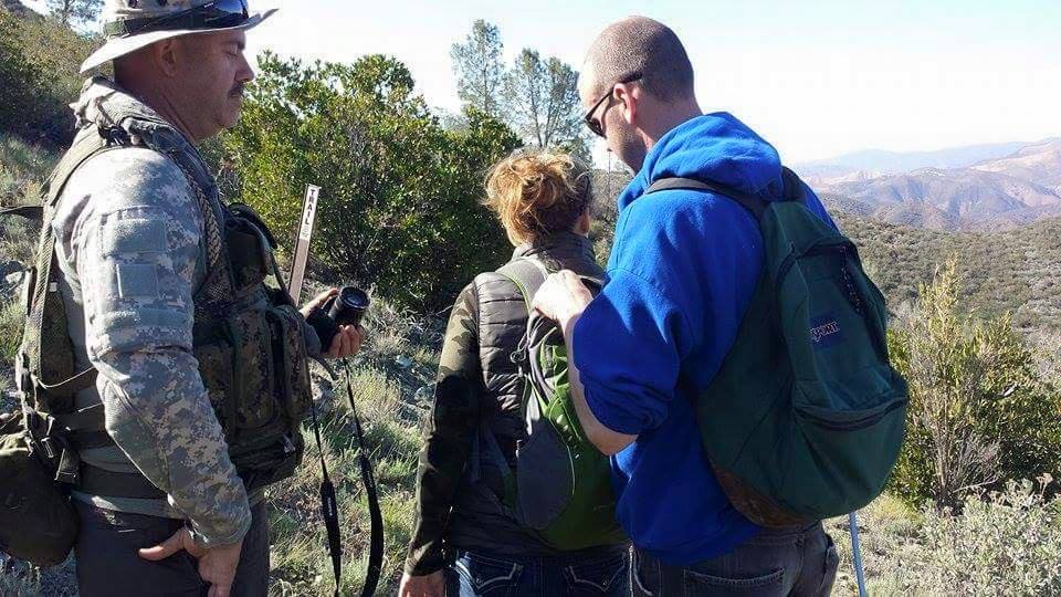
us at the junction of munch canyon and white rock connector - Pothole Trail Survey - 04-12-2015 - by Los Padres Forest Association
Link: Pothole Trail Date: 04-12-2015 Surveyor Name: Los Padres Forest Association Trail description: Report from the Ojai Ranger District: The CREW continued work on the Pothole Trail and have now completed 90% of the trail from the wilderness boundary (ridge) down to the Agua Blanca to trail standards. Â If you are going to backpack the Pothole Trail, now is a great time. Â The CREW will be back in the Fall to wrap up that last 10%.More information about the CREW:http://www.thecrew.org/Mode of transport: Array Trail condition: Good shape and easy to follow Images: 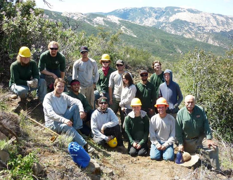
Photo Ranger Heidi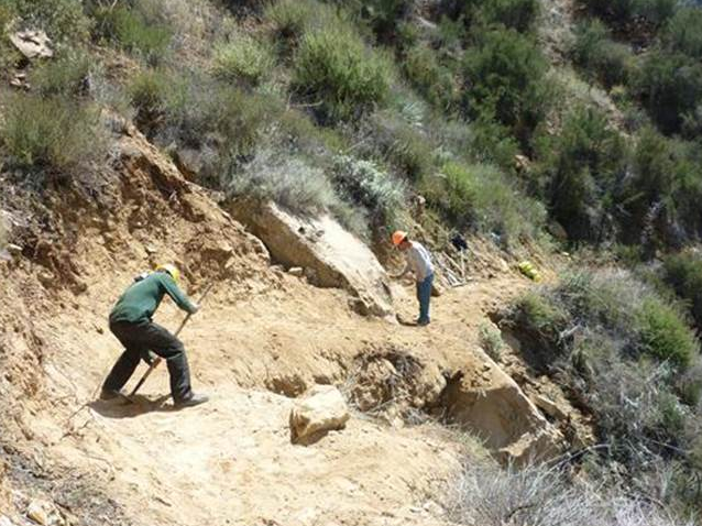
Photo Ranger Heidi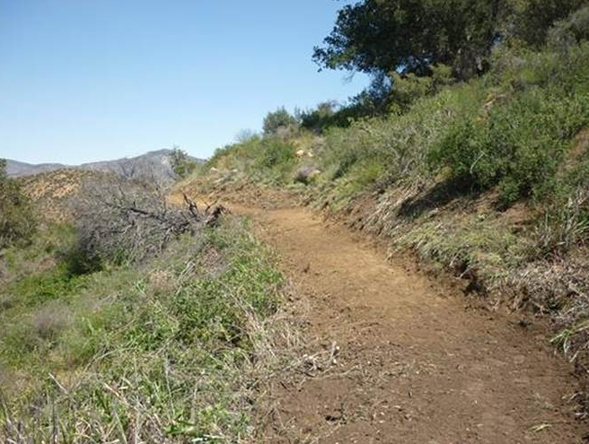
Photo Ranger Heidi - Aliso Loop Trail Survey - 04-11-2015 - by Constance
Link: Aliso Loop Trail Date: 04-11-2015 Surveyor Name: Constance Mode of transport: Hike Trail condition: Good shape and easy to follow - Agua Blanca Trail Survey - 04-11-2015 - by Los Padres Forest Association
Link: Agua Blanca Trail Date: 04-11-2015 Surveyor Name: Los Padres Forest Association Trail description: Report from the Ojai Ranger District - There are some downed trees, none larger than 15" in diameter.- Water levels on the AB were good- Brush quite thick in many areas- Tread is fair except for a rockslide that is about 2.5miles up the single trackHoping to schedule a project to clear the slide.Mode of transport: Array Trail condition: Needs some work Images: 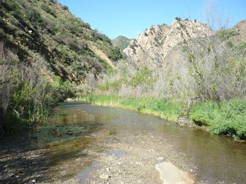
Water at second crossing, photo Ranger Heidi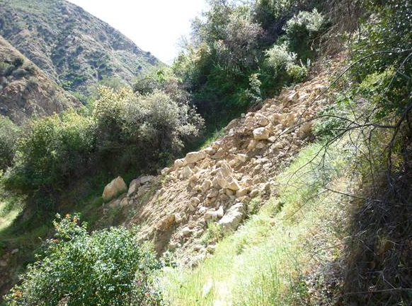
The new slide, photo Ranger Heidi - Manzana Trail East (Upper) Survey - 04-11-2015 - by M. Jones
Link: Manzana Trail East (Upper) Date: 04-11-2015 Surveyor Name: M. Jones Trail description: Surveyed the lower Manzana trail from Sunset Valley road past Manzana Schoolhouse campground to the old Wells Homestead on the Horse Canyon La Brea trail
Over-all the entire trail in in good condition and well-trimmed with easy traveling due to the low water levels. There are no obstructions, slip-outs, slides or trees blocking the trail. Â At the time of survey there was low water at every crossing but one from Sunset Valley road to Dabney Cabin. Just below Dabney cabin had the most reliable, deepest pools of water which disappeared just after the Cody property
Historic notes for the area:
Dabney Cabin, 1914 Alder log cabin (Charles William Dabney). Used by the Dabney family for trout fishing, by Johnny Franzina on round-ups; lion trapper Paul Nogues from the early 1920’s until the 1940’sand by Midland school students. Saved by interested county residents from demolition by USFS in October 1969. (Ontiverous, Erlinda, pg.358 1990)
 Wheat Homestead. H. P Wheet [Wheat] was born in April 1822, in New Hampshire. He died in 1903 and is buried in a eucalyptus grove in Oceano. His wife, Elizabeth, was born in Canada c1828 and s also buried in in Oceano (D. c1900) The Wheets lived in Michigan and Wisconsin before moving to California [Sears-Woon Family Genealogy]
“Old man Wheet†wore his hair long, what little of it there was, as he was bald except for a little top-knot and a scanty fringe that extended to his shoulders. He had an extensive vocabulary of cuss words and chewed great quantities of tobacco which he would spit all over the floor. He despised doctors and medicine and claimed to have divine healing powers. Most of his relatives had great respect for him, but the rest of the folks looked upon him as a humbug [Santa Maria Historical-Society, c1905].
Hiram Preserved Wheat was one of the most prosperous and colorful of the pioneers. He claimed his home stead in 1885; could neither read nor write, and considered himself a healer…..He laid down the proper rules for diet; no pork, no lard, no coffee, and –most important—no milk for adults. One story he told of the cures he had concerned a man who had drank milk all his life. The patient was puffed up like a balloon, unable to walk. Old Man Wheat gave him a good pounding, and then squeezed his toes. The accumulated milk streamed out, he was able to walk and was cured [Jeannette Lyons, 1974].
Mode of transport: Hike Trail condition: Good shape and easy to follow Images: 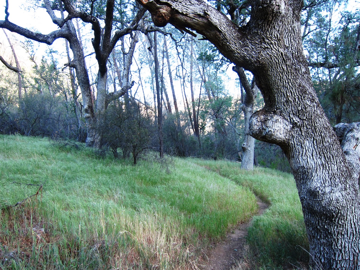
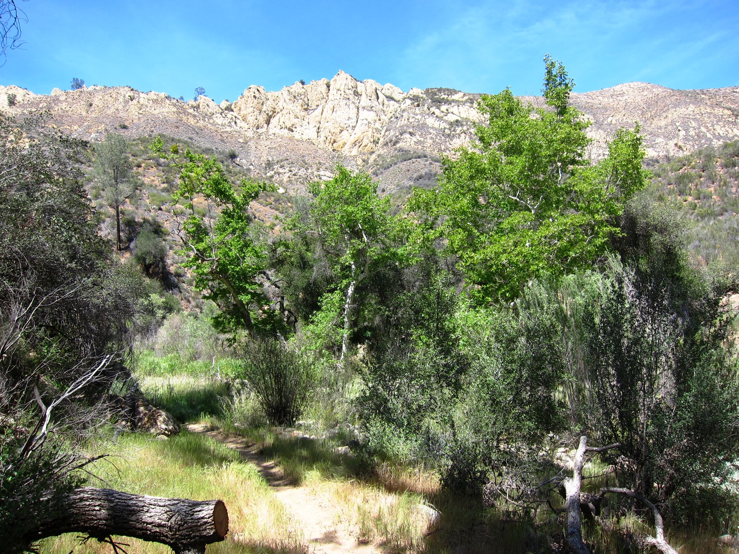
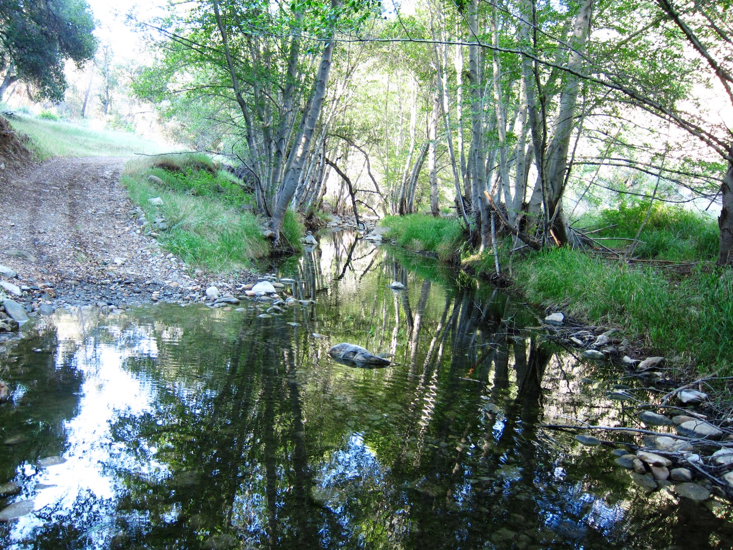
- North Fork Lockwood Trail Survey - 04-11-2015 - by Craig R. Carey
Link: North Fork Lockwood Trail Date: 04-11-2015 Surveyor Name: Craig R. Carey Trail description: Trail in fine shape by LPNF standards, but could use some minor brushing at crossings above falls and there's some failing cribwall at the south end of the meadows (I am organizing a Scout service project for the Fall to address).
Water is scarce; we were able to filter from a mucky stretch of the main spring below camp, but I can't imagine that will last much longer.Mode of transport: Hike Trail condition: Good shape and easy to follow - Judell Trail Survey - 04-06-2015 - by Hike Los Padres
Link: Judell Trail Date: 04-06-2015 Surveyor Name: Hike Los Padres Trail description: The trail was difficult to find, but we have hiked it and rode it many times, so we knew where to go. Our first obstacle was at the junction of the Sierra Madre Road with the Judell Trailhead (Function Junction!). There is a pretty deep gully in the jeepway that would be extremely difficult for trucks and horse trailers to get down. It goes for about 200 ft before it evens out to a drivable road. This would be a fairly easy fix with a few volunteers and the right tools.
The trail is very overgrown and needs lots of brushing, the tread is questionable in many spots, especially along the high trails and switchbacks,and there are at least 5 bigger trees that require a cross-cut saw prior to Heath camp.Mode of transport: Hike Trail condition: Hard to follow Condition details: Judell has not been used for many months. Images: 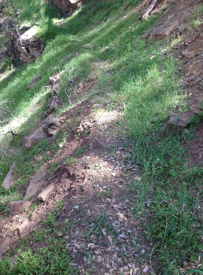
Tread typical of the middle oak filled section of the Judell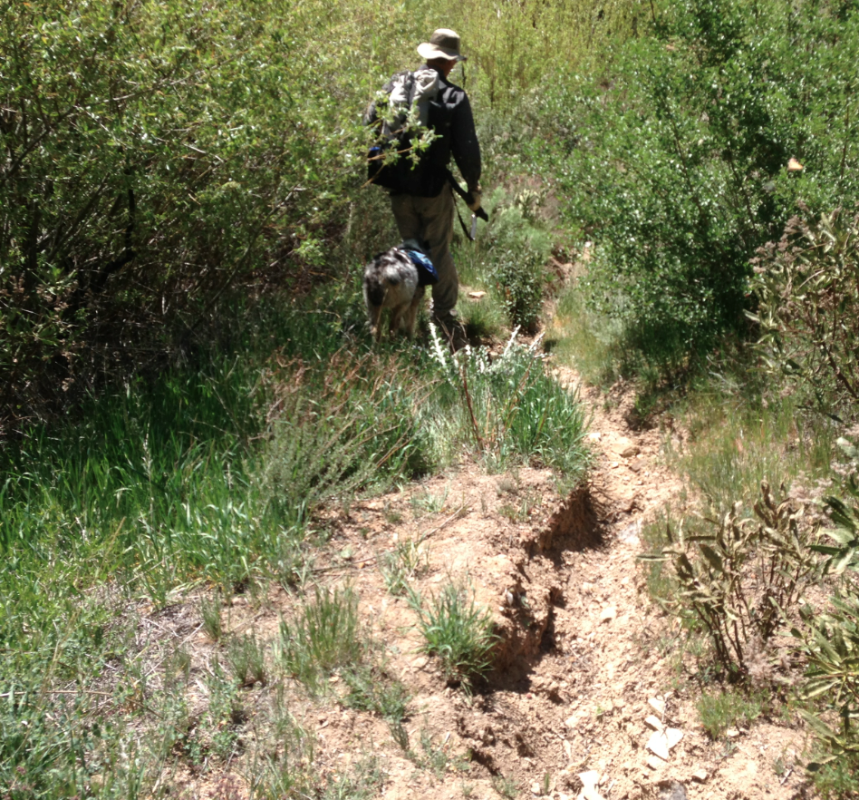
Some rutting that needs to be fixed, yes that is the trail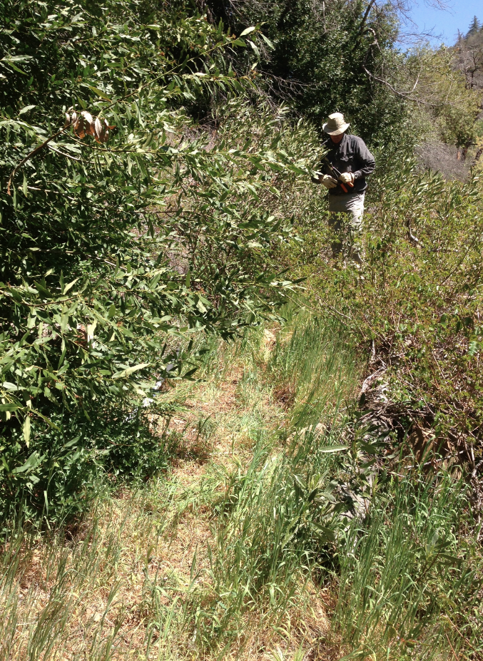
Gets brushy in sections but is followable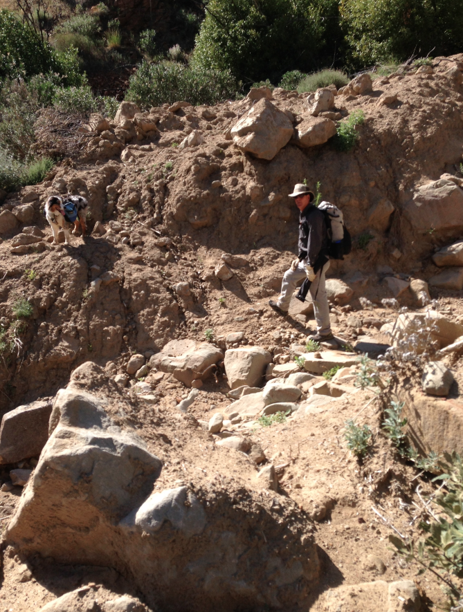
The large washout along the lower section. Work needed.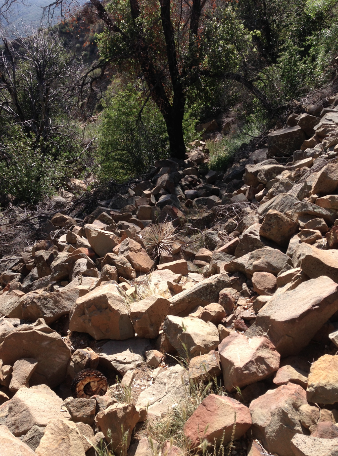
The boulder field section just after the trail goes high on the west side. - Santa Paula Canyon Trail Survey - 04-06-2015 - by Dave Leoncavallo
Link: Santa Paula Canyon Trail Date: 04-06-2015 Surveyor Name: Dave Leoncavallo Trail description: The trail is easy to follow, though polluted, from Thomas Aquinas to Big Cone camp. Â Turning east, it quickly becomes non-existent from Big Cone to La Cienaga. Â We had to creek hop for most of the journey. Â We had the help of GPS to guide us to the point in the creek bed where the trail materializes again up a wooded slope to the east. Â Without the GPS, I don't know if we would have found the trail again. Â Lots of poison oak along the way and not a soul to be found. Mode of transport: Hike Trail condition: Hard to follow Condition details: Thomas Aquinas to La Cienaga - Gifford Trail Survey - 04-01-2015 - by Meghan Sheen
Link: Gifford Trail Date: 04-01-2015 Surveyor Name: Meghan Sheen Trail description: Trail is in good shape, appears to be recently maintained.
Easy to follow, not a bad quick trip. We made it a little longer by following Forest Rte 32S01A to the North East.Mode of transport: Hike Trail condition: Good shape and easy to follow Images: 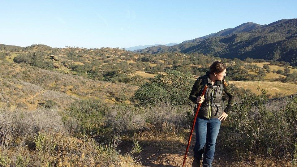
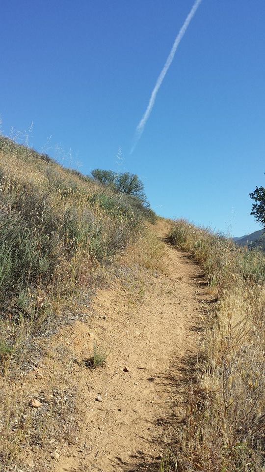
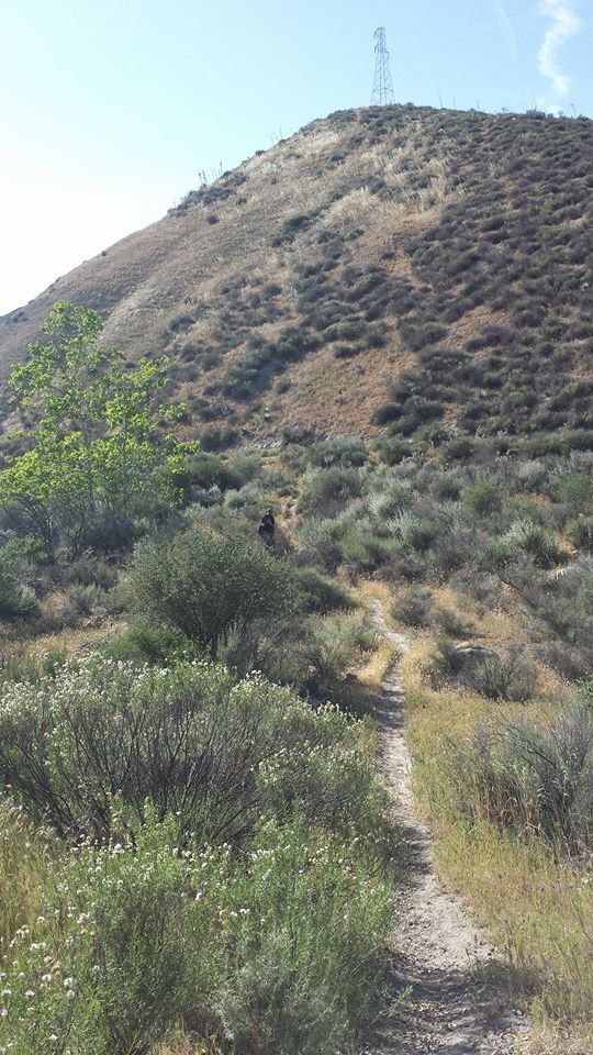
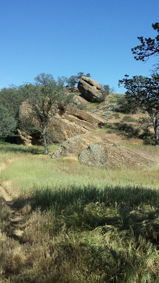
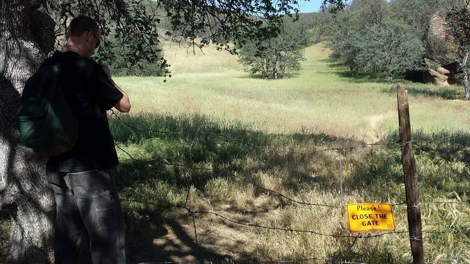
- Cruickshank Trail Survey - 03-31-2015 - by Anonymous Surveyor
Link: Cruickshank Trail Date: 03-31-2015 Surveyor Name: Anonymous Surveyor Trail description: Trail leading up to Lions Den camp is very eroded/crumbling after crossing the creek. Trail gets very narrow with steep drop off to the side. Mode of transport: Hike Trail condition: Needs some work - Tinta OHV Trail Survey - 03-30-2015 - by Los Padres Forest Association
Link: Tinta OHV Trail Date: 03-30-2015 Surveyor Name: Los Padres Forest Association Trail description: UTMC continued their onslaught on the fallen trees within the Mt Pinos Ranger District. Â If you were a tree blocking a trail in the MPRD, be worried, real worried! This time they logged 15 trees off the Tinta Trail and 10 leaners were felled from next to the trail.Mode of transport: Stock Trail condition: Needs some work - Santa Barbara Canyon Trail Survey - 03-29-2015 - by Hike Los Padres
Link: Santa Barbara Canyon Trail Date: 03-29-2015 Surveyor Name: Hike Los Padres Trail description: UTMC and Wilderness Corps led a trail project up SB Cyn and removed nearly 60 trees from the trailhead up to the base of Heartbreak Hill.  There was one large downed oak that was not cleared at the base of  of the HBHill. Link to Wilderness Corps photos:https://www.wildernesscorps.com/2015-santa-barbara-canyon-trail-logging-trip Mode of transport: Array Trail condition: Needs some work - Alder Creek Trail Survey - 03-27-2015 - by Los Padres Forest Association
Link: Alder Creek Trail Date: 03-27-2015 Surveyor Name: Los Padres Forest Association Trail description: A few reports from the Alder Creek Trail: - Back in December the CREW worked the first part of the trail from Dough Flat out to the Bucksnort Junction.- That portion of the trail is fantastic.- After leaving the Bucksnort the trail gets gradually worse but stays good until you get down to the McDonald Trail Junction.- After this point the trail gets much worse the short distance until you meet with the main Alder Creek Junction.- The trail is passable but needs lots of work from the McDonald Junction out to Alder Creek Camp and beyond to the SespeMode of transport: Hike Trail condition: Needs some work - Lopez Canyon Trail Survey - 03-22-2015 - by Nathan Claud
Link: Lopez Canyon Trail Date: 03-22-2015 Surveyor Name: Nathan Claud Trail description: Passed through on way from Rinconada to the top of the grade. The trail is easy to follow however it could use some machete work.  A group of pack mules had come through and they did some clipping bout mostly at the higher level.  The poison oak is unavoidable. Water is good in most of the creek. There is one area low in the canyon where the creek is non existent but it picks up again above portrero creek. The trail is marked in a few spots with pink ribbons. Mode of transport: Hike Trail condition: Needs some work Condition details: Lots of poison oak encroaching on trail. - Reyes Peak Trail Survey - 03-22-2015 - by Los Padres Forest Association
Link: Reyes Peak Trail Date: 03-22-2015 Surveyor Name: Los Padres Forest Association Trail description: VWR project to log fallen trees across the trail. Â The trail was cleared of fallen trees from the trailhead down to Haddock Camp. Â As always, a beautiful trail with beautiful views. Photos: Ranger RikMode of transport: Array Trail condition: Good shape and easy to follow Images: 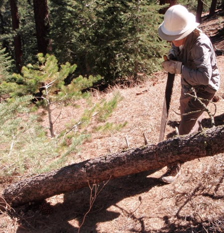
Getting your saw on
Getting your measure on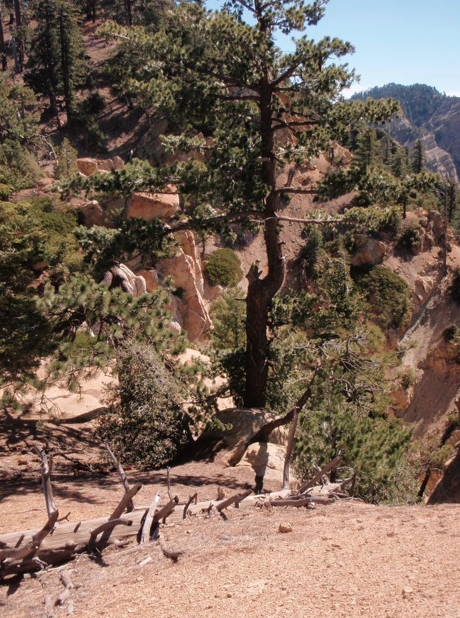
Getting your view on - Piedra Blanca Trail Survey - 03-22-2015 - by Los Padres Forest Association
Link: Piedra Blanca Trail Date: 03-22-2015 Surveyor Name: Los Padres Forest Association Trail description: An addition to the VWR project that Mark S posted on 3/20. Â The Gene Marshall Piedra Blanca Trail was logged from Reyes Creek to Pine Mtn Lodge. Â See photos showing the great work by the volunteer sawyers. Mode of transport: Array Trail condition: Needs some work Images: 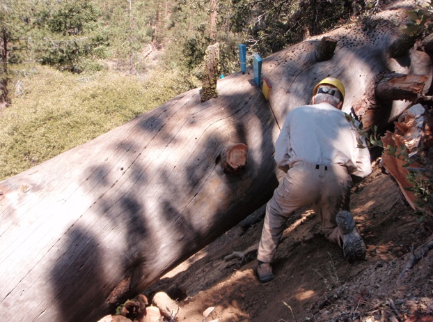
Photo Ranger Rik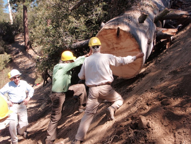
Photo Ranger Rik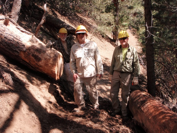
Photo Ranger Rik - Big Falls Trail Survey - 03-21-2015 - by Nathan Claud
Link: Big Falls Trail Date: 03-21-2015 Surveyor Name: Nathan Claud Trail description: Came down on trip from Rinconada to top of grade. Trail was well maintained and poison oak was beat back pretty well. The poison oak was a little harder to avoid at the top of the trail, but it can be done. The water is mostly clear, but the flow is very low. Mode of transport: Hike Trail condition: Good shape and easy to follow - Alejandro Trail Survey - 03-21-2015 - by James Wapotich
Link: Alejandro Trail Date: 03-21-2015 Surveyor Name: James Wapotich Trail description: From the trailhead, the trail is slight overgrown. Where it arrives at the ridge separating Colson and Alejandro Canyons it opens up, and remains open as it travels along the ridge between Rattlesnake and Alejandro Canyons. The trail the drops down a side canyon towards Alejandro Creek. From here all the way to the Alejandro Camp the trail is overgrown. The trail is easy enough to follow as it follows the creek, and does't require any real route-finding, but there is plenty of poison oak to be avoided. Alejandro Camp is in fair shape with two sites close to each other inside a corral, supposedly to keep free range cattle from visiting.ÂThere is water intermittently flowing in Alejandro Creek, as well as just below Alejandro Camp.Past the camp, the trail starts away from the creek and does require some route-finding. However, once it starts heading up towards the ridge between Alejandro Canyon and North Fork La Brea Creek that route becomes more evident, although still overgrown.About two-thirds of the way up there is a large oak deadfall obscuring the trail. At this transition, there is a cattle trail leading off to the right that can be misleading. Instead, work your way past the oak tree and refind the trail, which actually starts to head back up Alejandro Canyon before top the ridge. This last section is perhaps the most overgrown. At the saddle the trail becomes much improved and it is easy to continue and locate the top of Weber Trail.Mode of transport: Hike Trail condition: Needs some work - Poplar Trail Survey - 03-21-2015 - by Anonymous Surveyor
Link: Poplar Trail Date: 03-21-2015 Surveyor Name: Anonymous Surveyor Trail description: Day hiked from Bluff down to Pens and beyond. Steady flow of water the whole way in Indian Creek. Â Faucet Spring, however, was dry.From Bluff, the trail starts easy to follow up until about Blue Jay camp. Â There's a couple of sections of trail on the way to Blue Jay that look like they may be lost soon to a slide or rutting, but otherwise, it's mostly clear, easy walking.Beginning around Blue Jay, the trail becomes much narrower and more overgrown. Â Lots of small tree falls and encroaching brush. Â Tread becomes faint and at times a little tough to follow, especially in/around creek crossings. Â The Poison Oak gets bad between Blue Jay and Poplar, then lets up a bit on the way to Pens.No evidence of any recent visitors to Blue Jay or Poplar, but Pens had some semi-fresh trash in the fire ring.Strangely, the trail was much more difficult to find/follow on the way back up toward Bluff from Pens than it was on the way down. Â On multiple occasions during our return trip we lost the trail between Pens and Poplar.All in all, the trail is pretty faint and rough. Â Of course, this is par for the course in these parts and is part of the reason this area is a reliable destination for some solitude.Mode of transport: Hike Trail condition: Hard to follow Condition details: Overgrown; doesn't see much use - Piedra Blanca Trail Survey - 03-20-2015 - by Mark S
Link: Piedra Blanca Trail Date: 03-20-2015 Surveyor Name: Mark S Trail description: hiked and pack stock went from from Reyes Creek TH to Haddock 3/20 and returned 3/22. Â Trail is easy to follow and in good shape from parking lot to Beartrap CG. Â Then trail starts to get brushy and overgrown in places as it goes along the canyon bottom back and forth across Beartrap Creek, Â As riparian vegetation leafs out, trail will likely be obscured but still possible to follow although difficult at times, but stays in canyon bottom. Â Treadwork on the switchbacks leaving Beartrap widened tread an makes it readily passable for pack stock. Â All downed trees were logged from saddle down to Haddock Camp. Mode of transport: Hike Trail condition: Needs some work Condition details: Trail maintenance project Images: 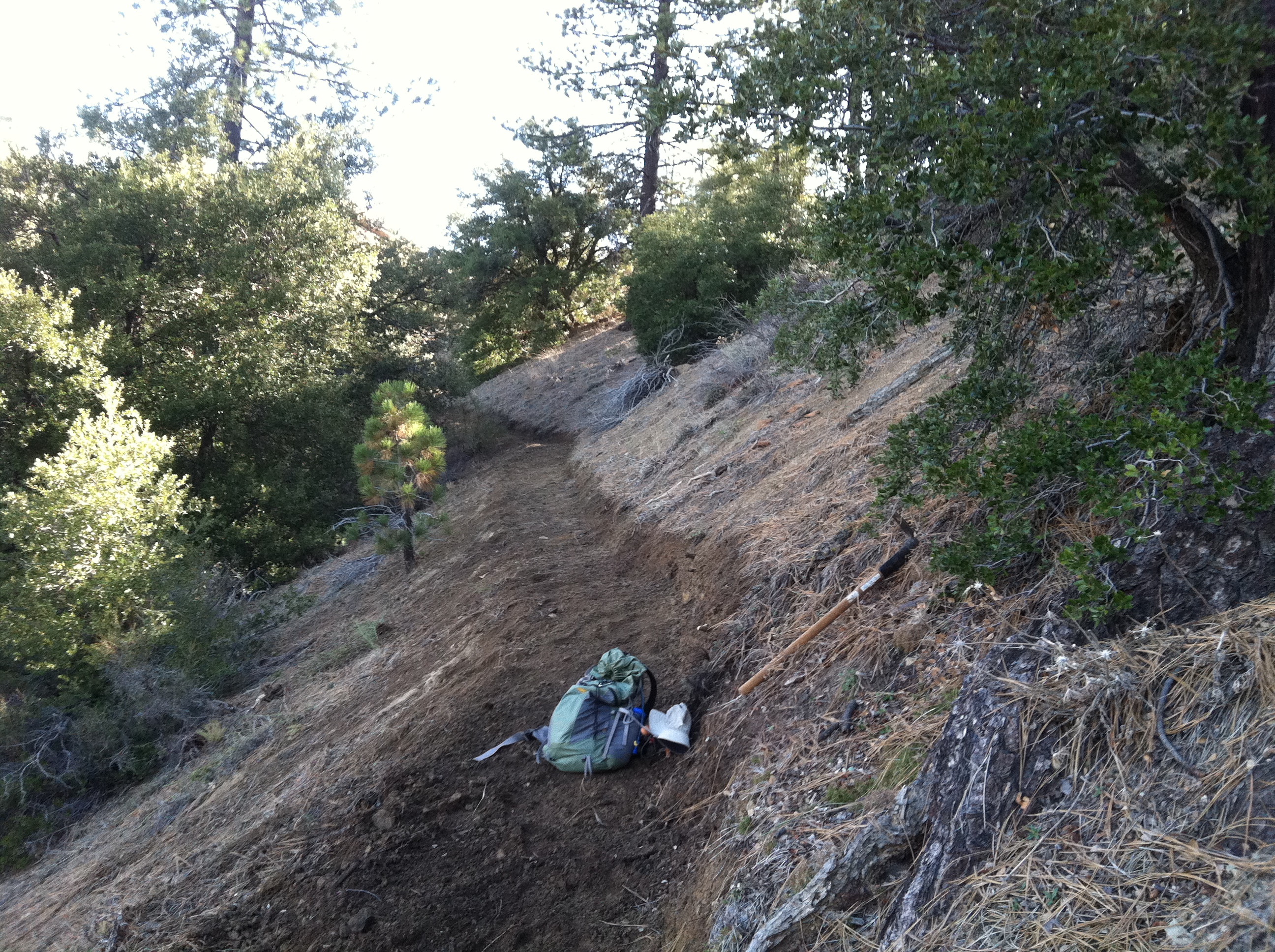
new tread work on switchbacks leaving Beartrap drainage over to Haddock Camp - Adobe Trail Survey - 03-18-2015 - by Meghan Sheen
Link: Adobe Trail Date: 03-18-2015 Surveyor Name: Meghan Sheen Trail description: Trail is in good condition, easy to get off main trail due to extensive mountain bike trails and no trail markers. No water. No poison oak or ticks that we saw. Fun trail overall. Mode of transport: Hike Trail condition: Needs some work Images: 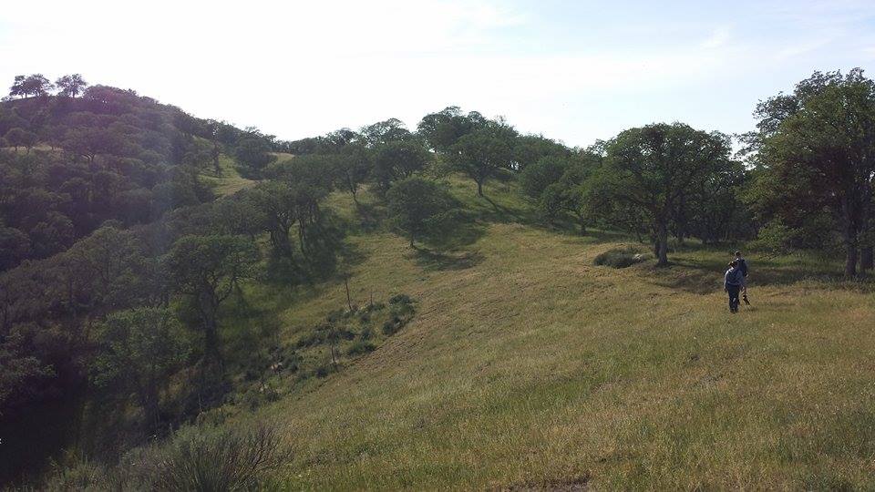
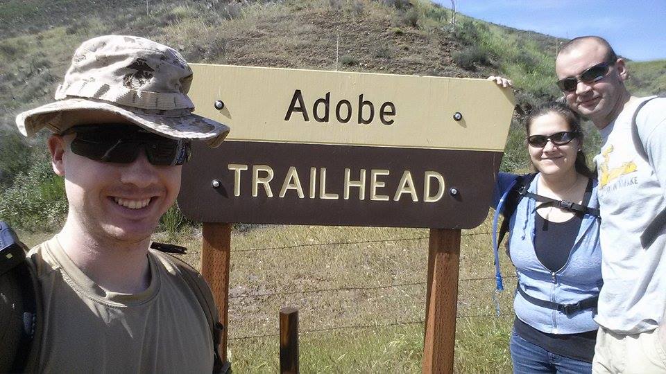
Trailhead - Pothole Trail Survey - 03-15-2015 - by Los Padres Forest Association
Link: Pothole Trail Date: 03-15-2015 Surveyor Name: Los Padres Forest Association Trail description: The Ojai Ranger District continued work on the Pothole Trail. Â They worked from the Wilderness boundary down towards the Agua Blanca. Â The Pothole Trail is seeing a lot of work this year with multiple projects hosted by the ORD, LPFA and CREW. Photos: Ranger HeidiMode of transport: Array Trail condition: Needs some work Images: 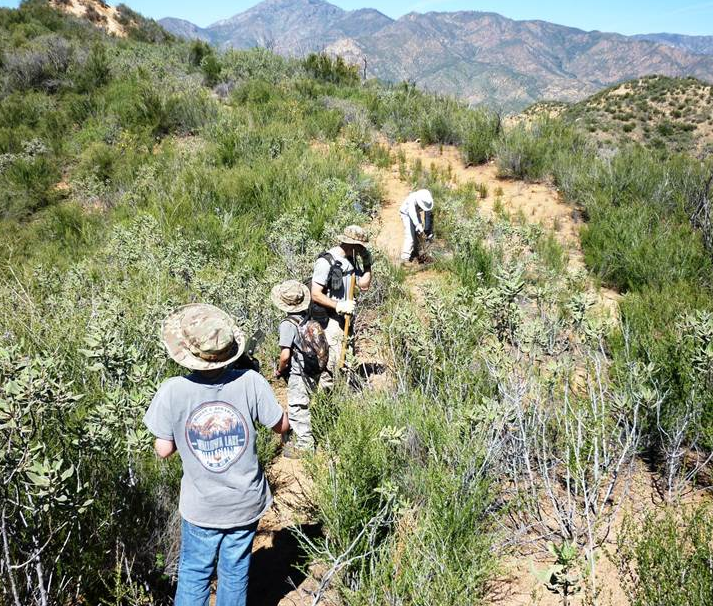
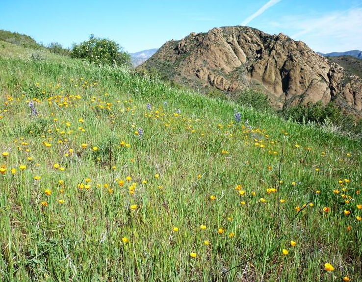
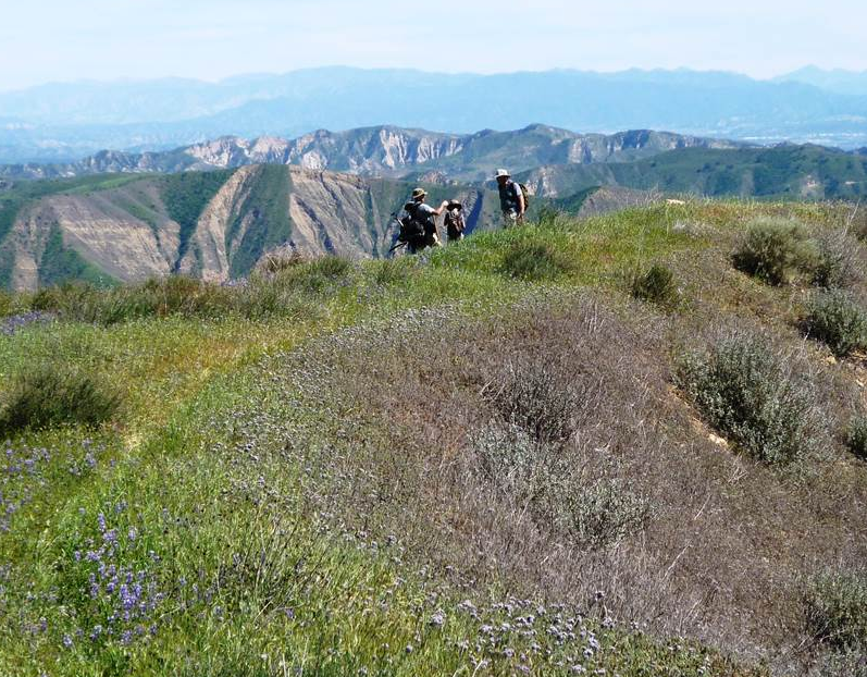
- Lost Valley Trail San Rafael Wilderness Survey - 03-14-2015 - by M. Jones
Link: Lost Valley Trail San Rafael Wilderness Date: 03-14-2015 Surveyor Name: M. Jones Trail description: Lost Canyon trail on 03/14/15 was in excellent condition for the length of the trail. Spring has brought a profusion of wildflowers to Lost Canyon, California poppies, Bush poppies, Blue Dicks, Yurba Santa and sunflowers were all in bloom.
Mode of transport: Hike Trail condition: Good shape and easy to follow Images: 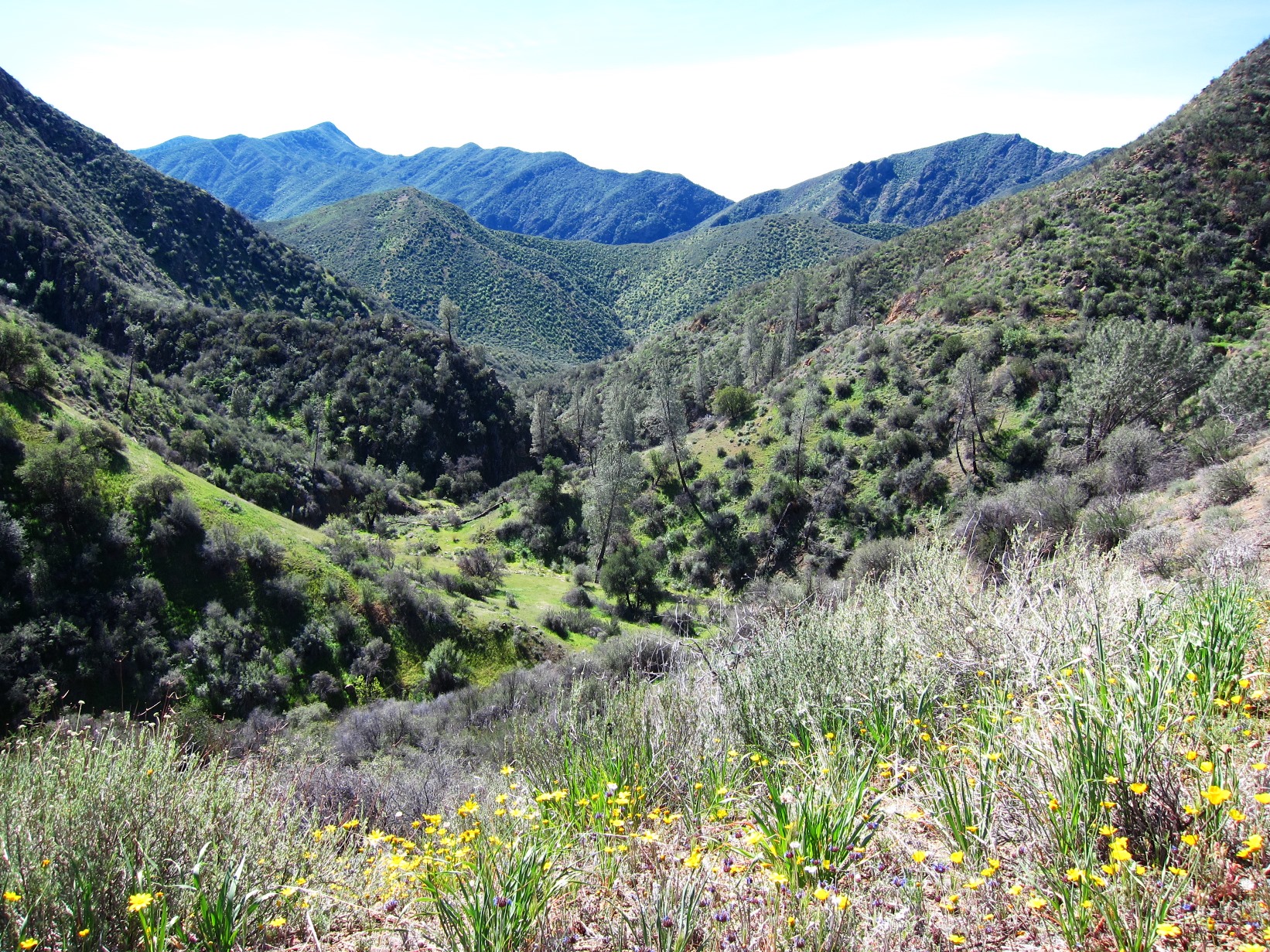
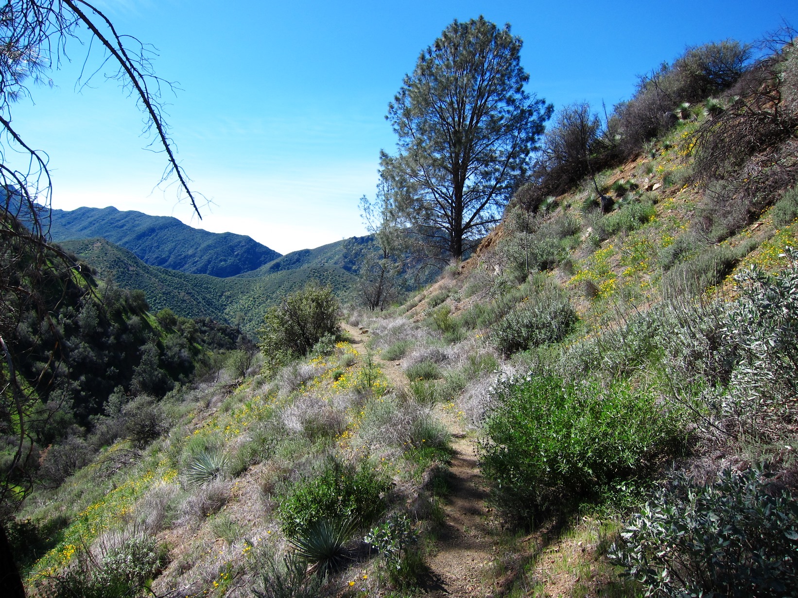
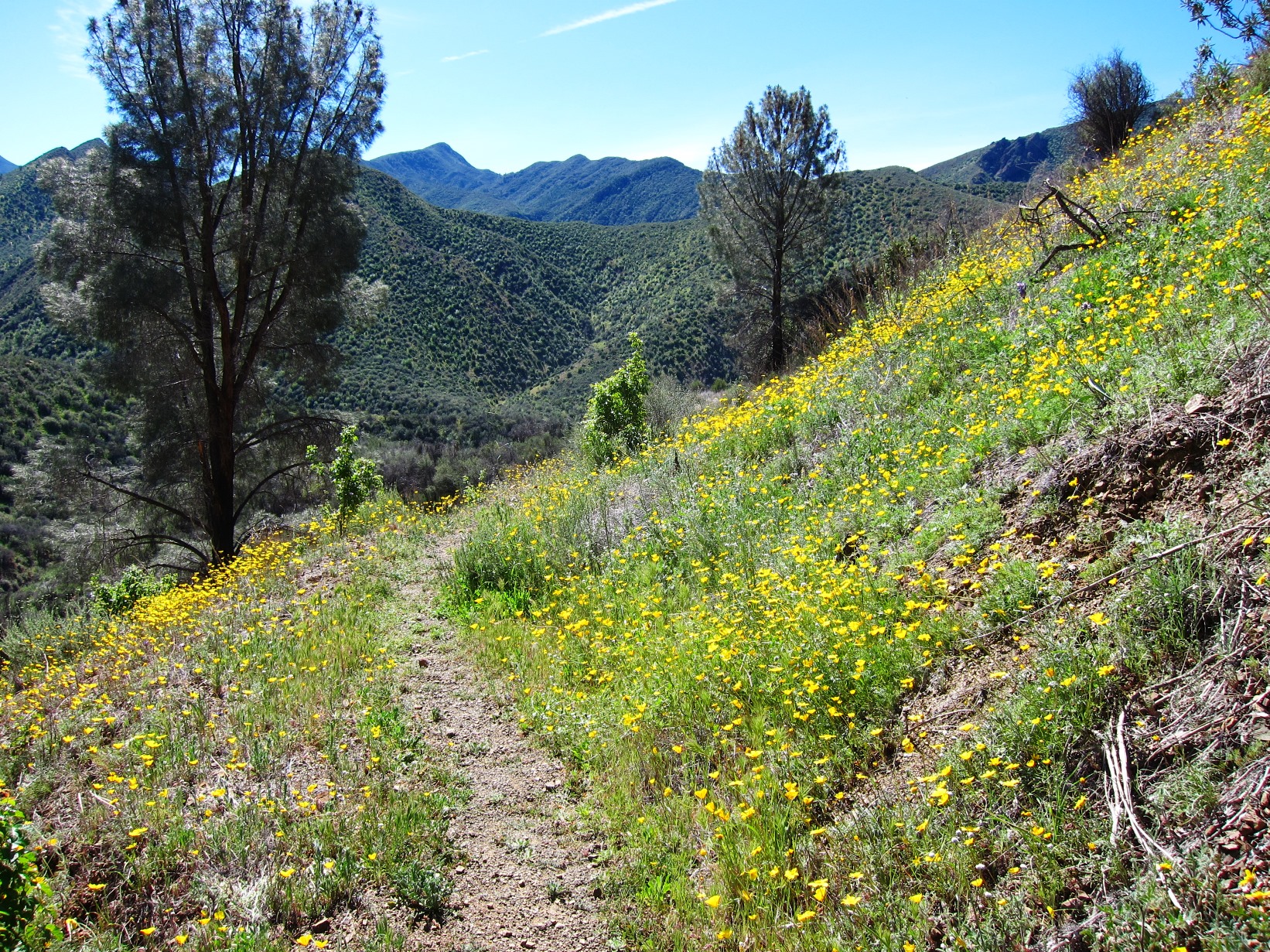
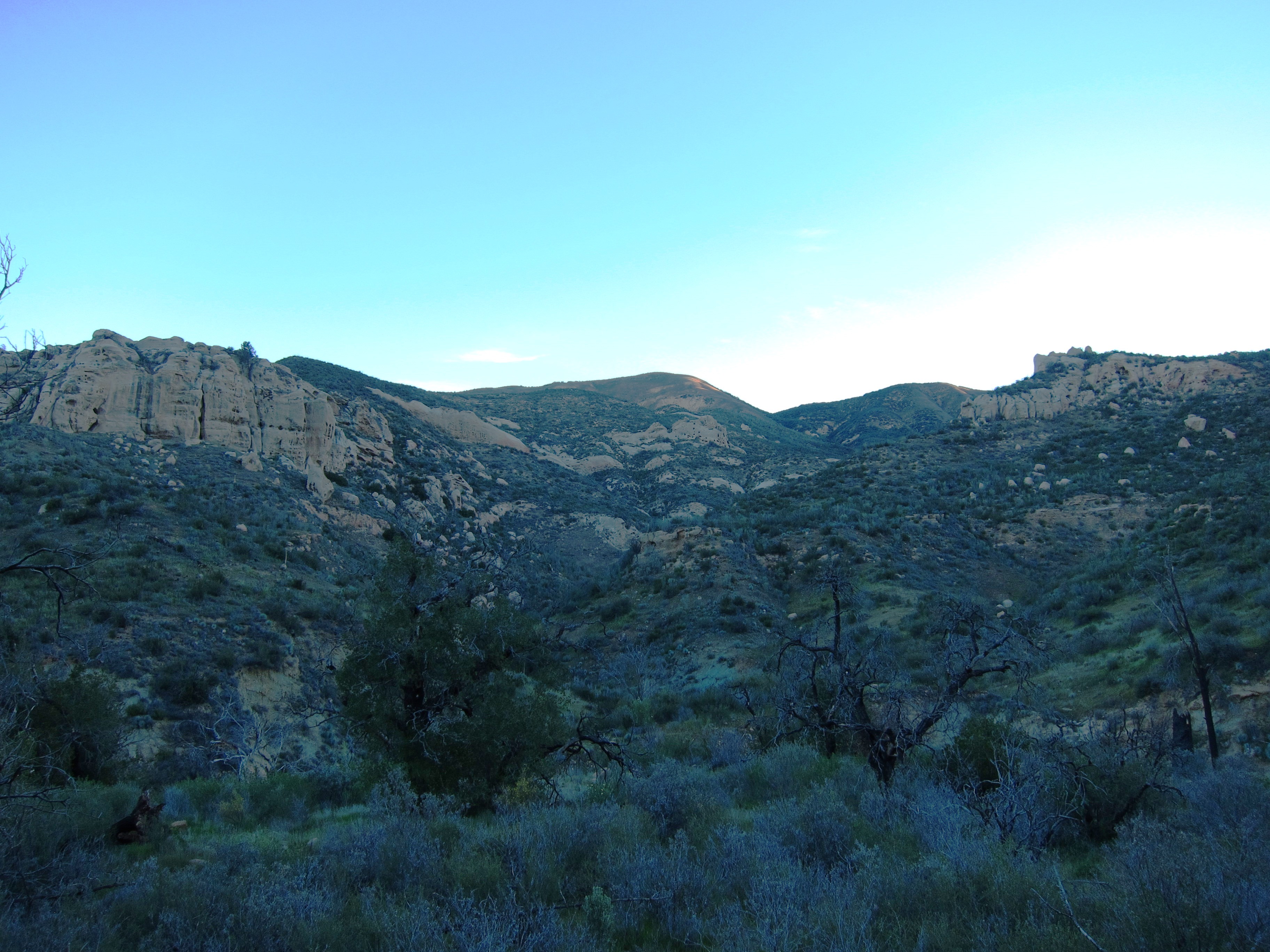
- Romero Trail Survey - 03-14-2015 - by Paul Cronshaw
Link: Romero Trail Date: 03-14-2015 Surveyor Name: Paul Cronshaw Trail description: I hiked from the junction where the Romero Trail crosses the East Camino Cielo and begins the North section down to Blue Canyon. Â The trail is relatively steep and follows an old fire break. Â The trail is becoming more eroded over the past few years, and could use some treadwork and water bar reconstruction.The "Romero" trail sign at the junction on the south side of El Camino Cielo road is missing.The junction sign at Blue Canyon Trail needs two bolts.ÂMode of transport: Hike Trail condition: Needs some work Condition details: Steep trail with eroded sections and loose small stones Images: 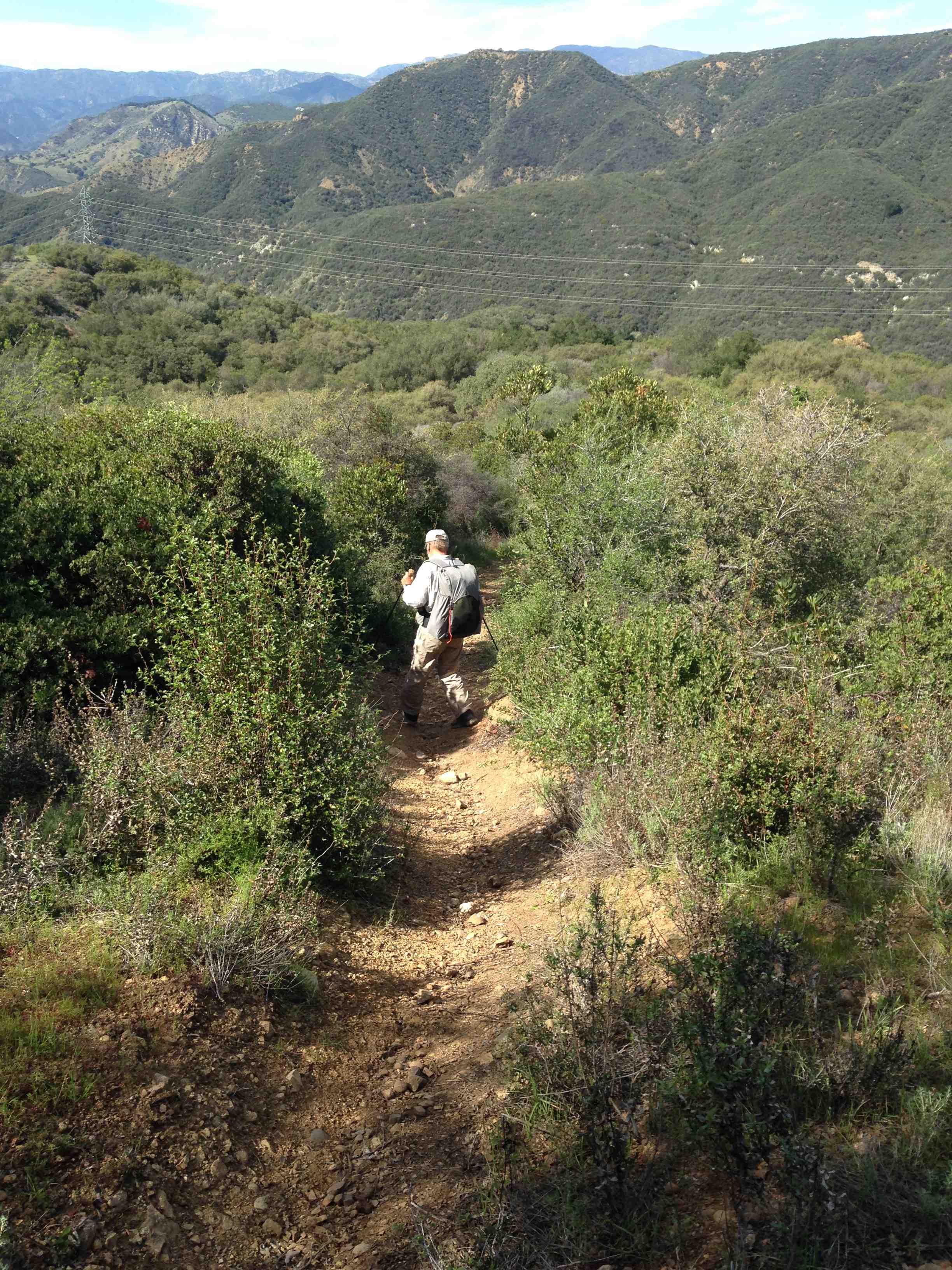
Steep section with erosion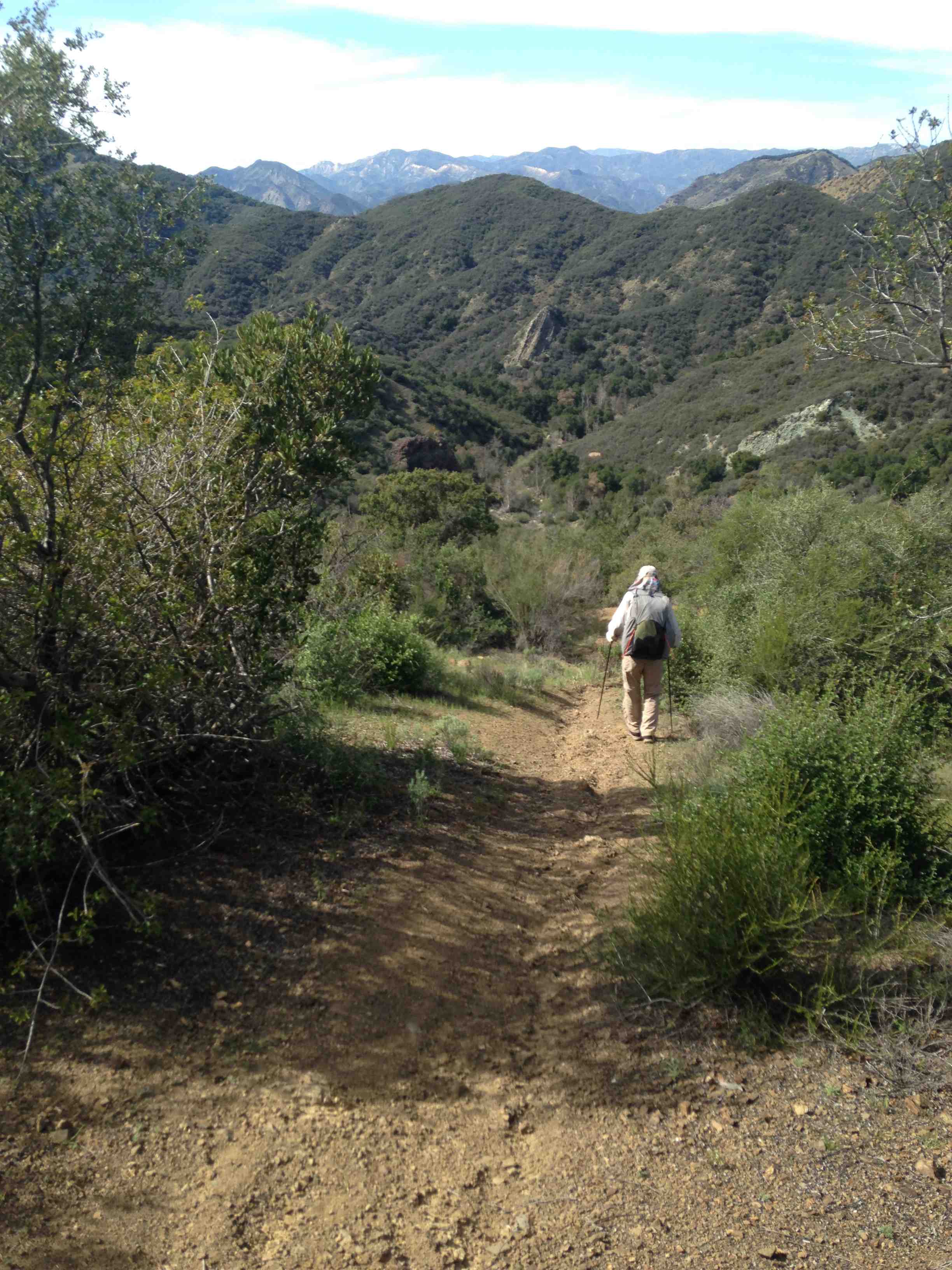
Section with erosion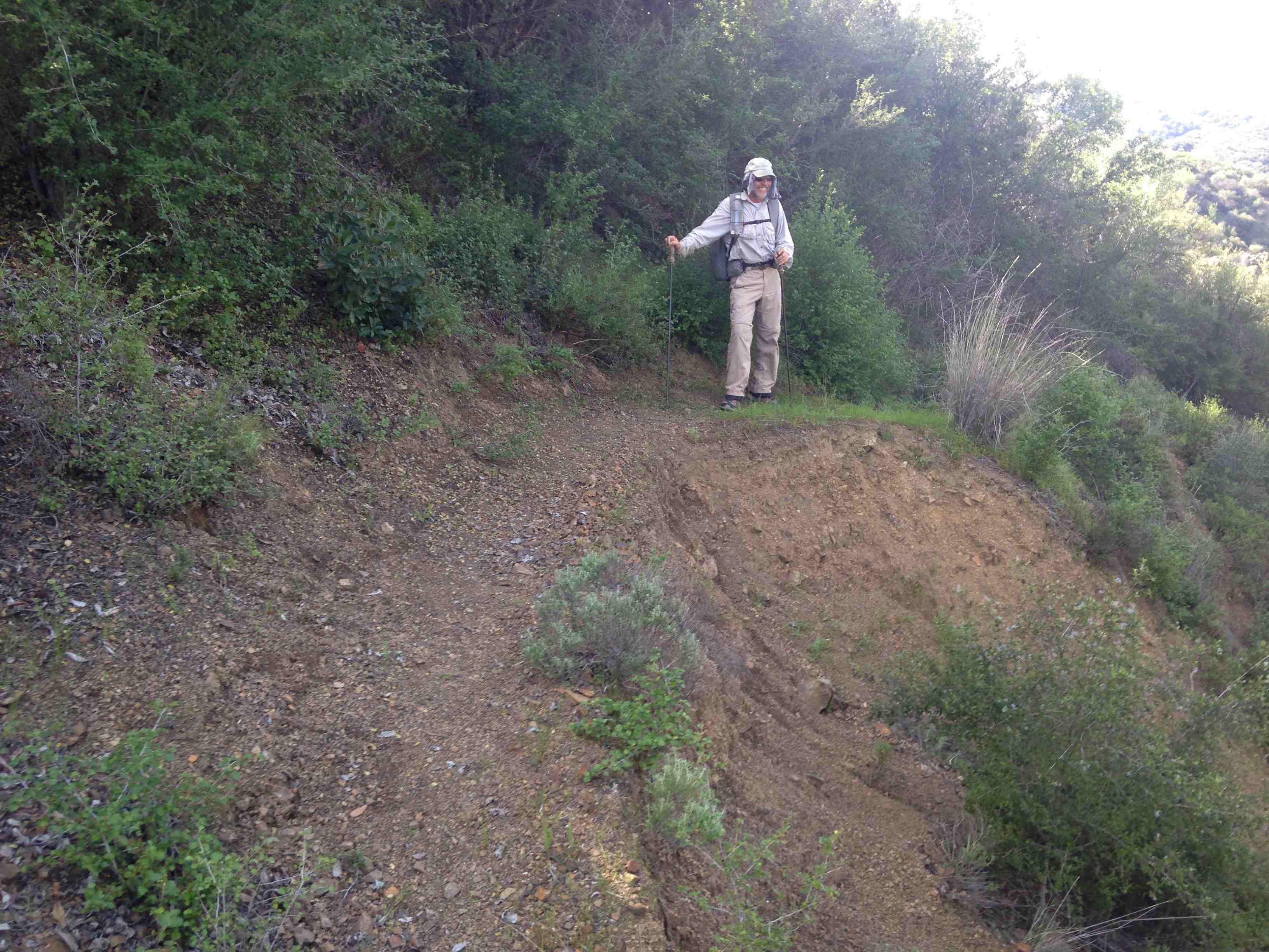
Slide section near junction with Blue Canyon TRail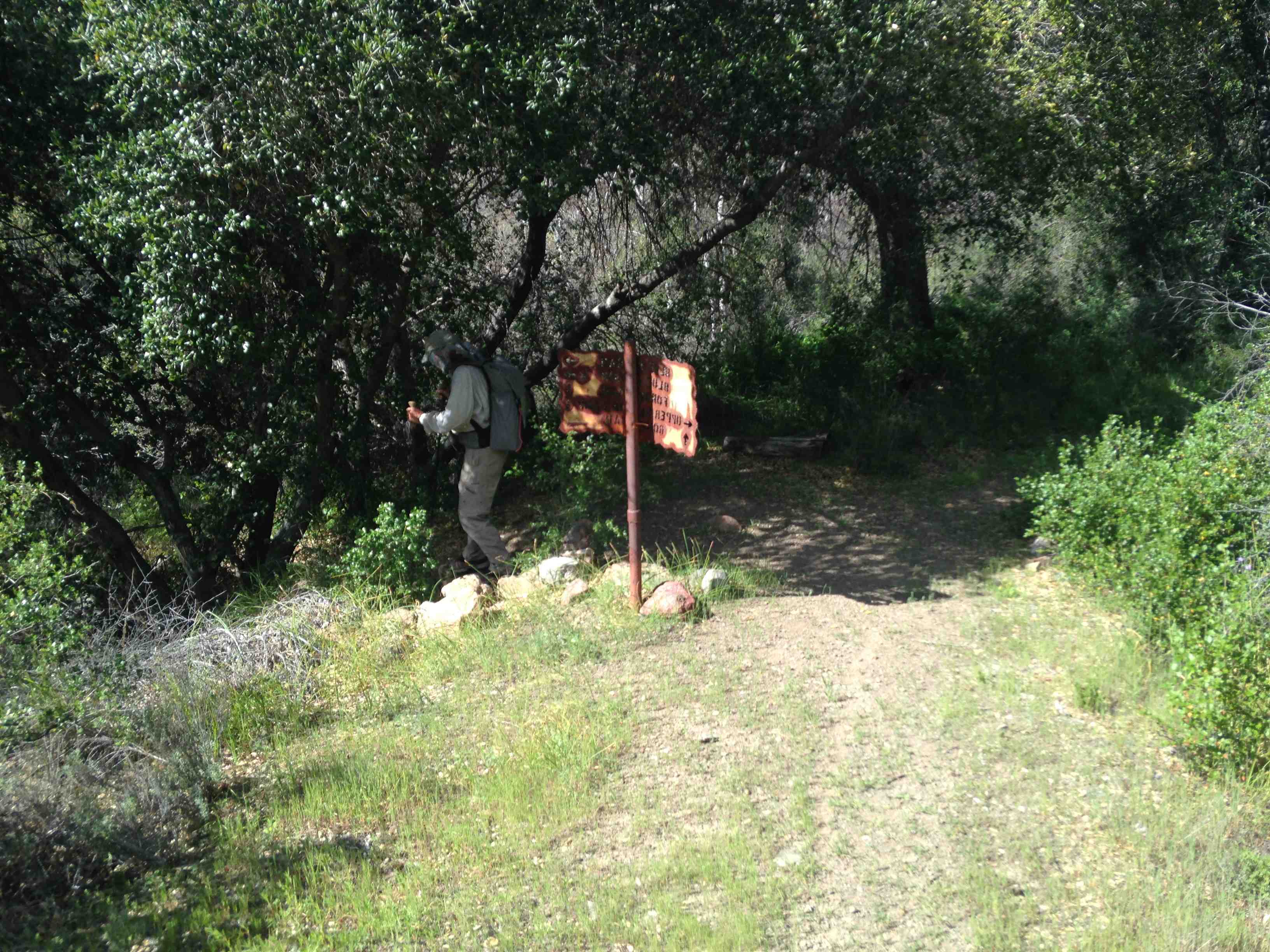
Blue Canyon junction trail sign - Jesusita Trail Survey - 03-13-2015 - by Los Padres Forest Association
Link: Jesusita Trail Date: 03-13-2015 Surveyor Name: Los Padres Forest Association Trail description: 3/13/15JUST INJesusita Trail is closed due to a large hazard oak tree that has fallen (and has more falling to do) across the trail. Â Crews are expected to clear the hazard tree early next week. Â Until then, please choose a different trail.Mode of transport: Array Trail condition: Hard to follow Images: 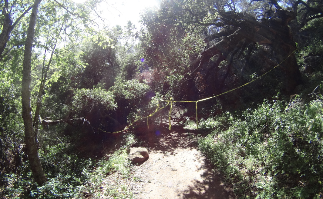
- Johnston Ridge Trail Survey - 03-12-2015 - by Los Padres Forest Association
Link: Johnston Ridge Trail Date: 03-12-2015 Surveyor Name: Los Padres Forest Association Trail description: We got a report today from a backpacker who hiked the lower Johnston Ridge Trail from Sespe up to the Hot Spring. Â There is good water flowing throughout the canyon and even cold water within the two creeks that feed into the hot springs above and below the spring. Â Great time to get out! Â Trail was in good shape. Mode of transport: Hike Trail condition: Good shape and easy to follow - Judell Trail Survey - 03-09-2015 - by Nico
Link: Judell Trail Date: 03-09-2015 Surveyor Name: Nico Trail description: Didn't see any running water at Oak Spring, just a little bit of standing water in the trough. Intermittent sections of flowing water along the lower half of Juddell Canyon; upper half was completely dry.Didn't look like the trail has seen too many feet in the recent past. Â Trail was a little brushy but easy enough to follow. Â There are about 20 tree falls across the trail, most can be handled with a handsaw but there's two or three larger trees laying across the trail that will require a sawyer team.All in all, it was a nice walk.Mode of transport: Hike Trail condition: Needs some work Condition details: Trail is a little brushy; some sections could use some tread work. Lots of tree falls. - Cold Spring Trail - West Fork Survey - 03-02-2015 - by Lindsay Fisher
Link: Cold Spring Trail - West Fork Date: 03-02-2015 Surveyor Name: Lindsay Fisher Trail description: Nice Hike, also can take the fork to Tangerine Falls base or to the top of Tangerine Falls. Mode of transport: Hike Trail condition: Good shape and easy to follow Images: 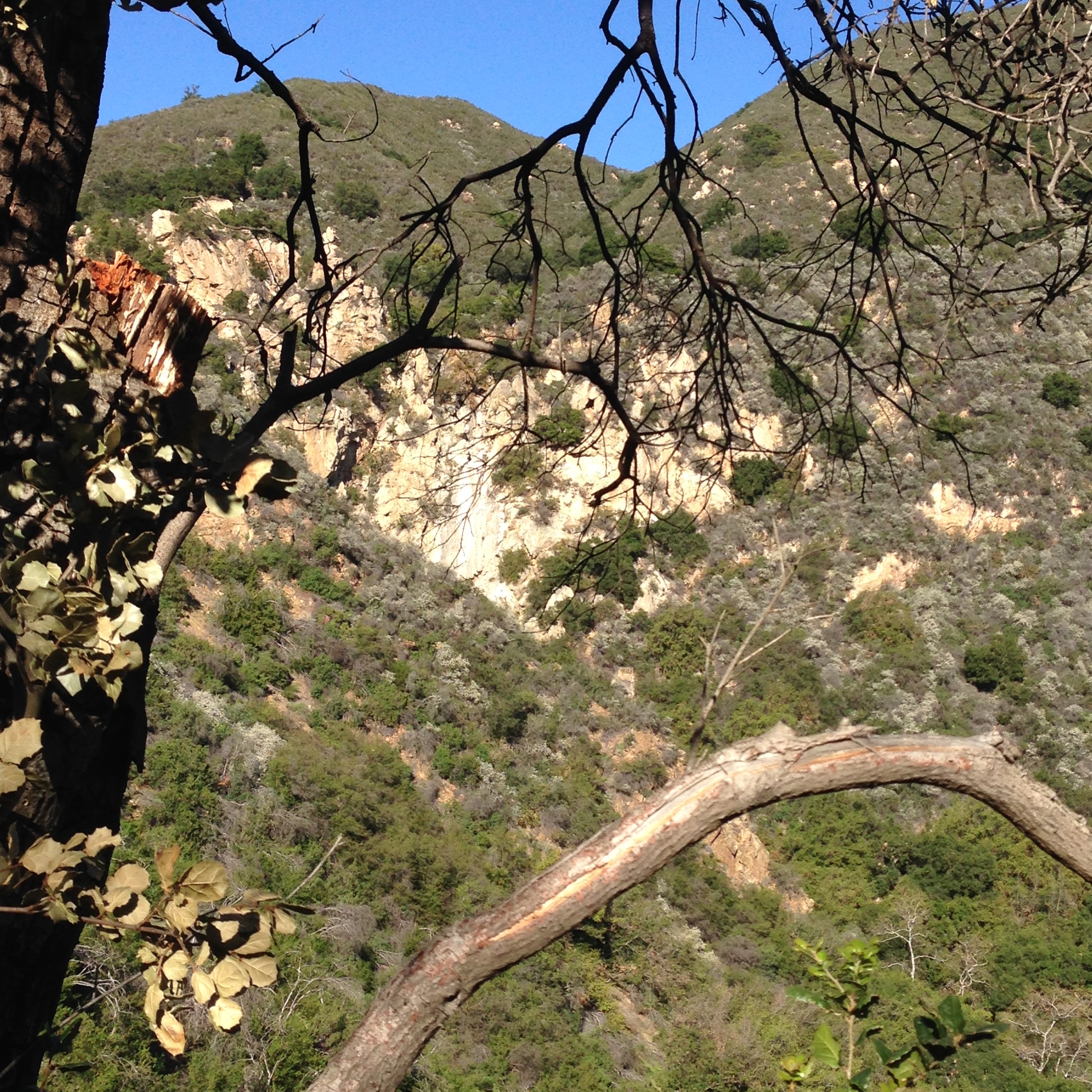
Tangerine Falls (no water running) - Rancho Nuevo Trail Survey - 03-02-2015 - by Mark Subbotin
Link: Rancho Nuevo Trail Date: 03-02-2015 Surveyor Name: Mark Subbotin Trail description: Cuyama River crossing from Hwy 33 was dry; high clearance vehicle recommended.  From trailhead to Deal Junction trail in good condition and easy to follow courtesy UTMC trail maintenance work.  From Deal Junction to Upper Rancho Nuevo campground 11 trees down across trail, one big washout not passable to stock, and overgrown along approx 30% of distance.  Tread is narrow in some areas.  Flagging left in creek bottom sections and at switchback near Upper Rancho Nuevo campground. Mode of transport: Hike Trail condition: Needs some work Condition details: easy to follow up to Deal Junction Camp, then brushy at times up to Upper Rancho Nuevo Camp Images: 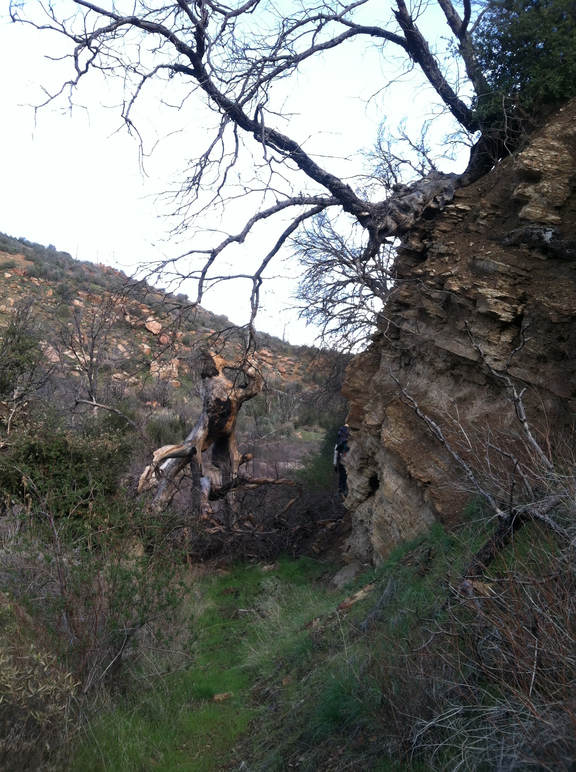
dead oaks fallen over trail from slope above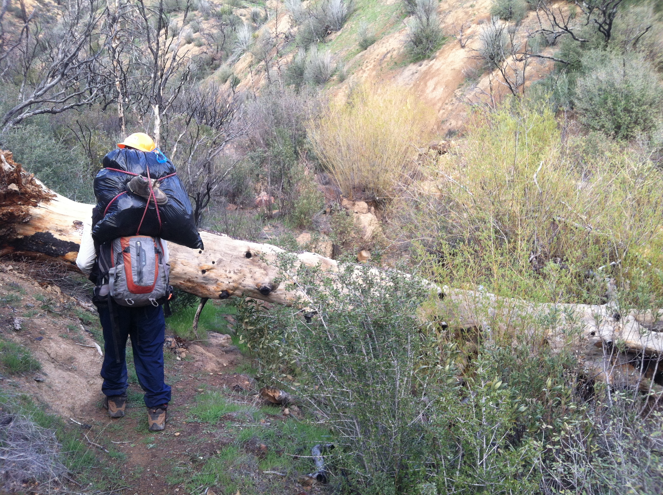
30" pine tree and 5-ft. deep side drainage trail washout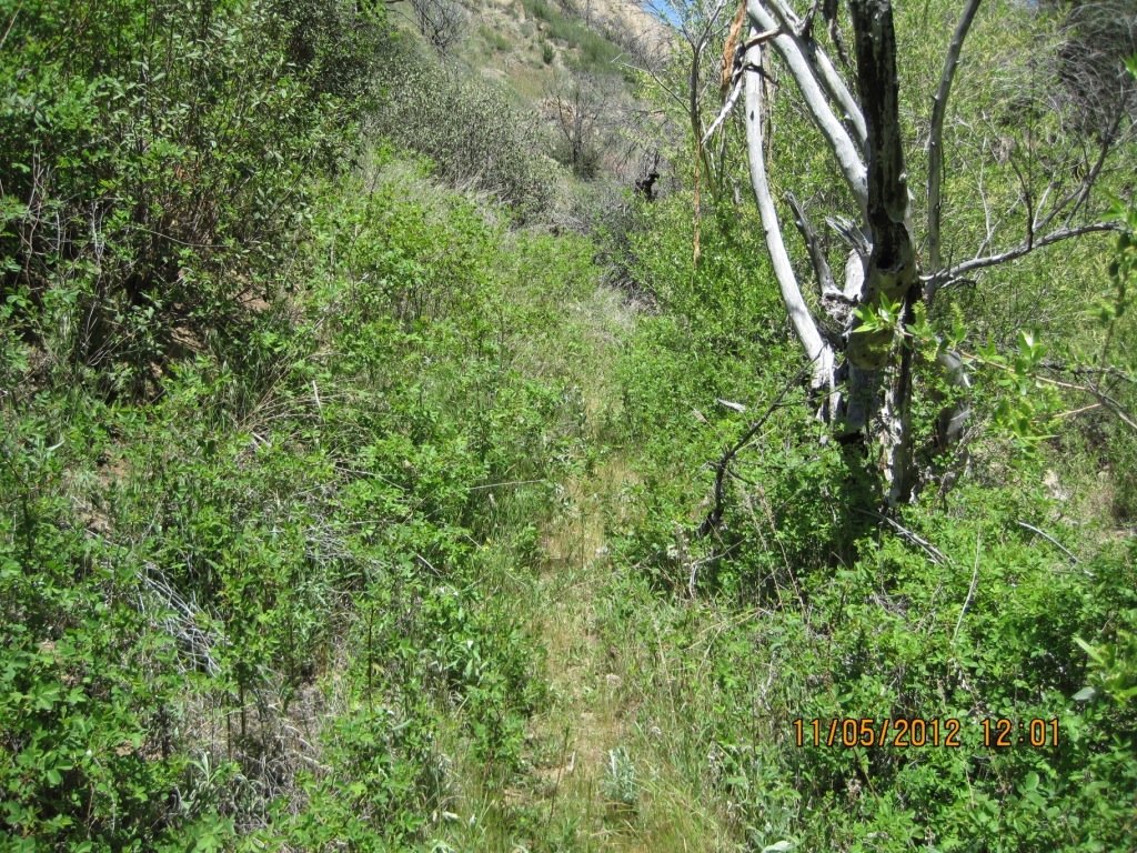
typical brushy condition w/ rose thicket - Sisquoc Trail Upper Survey - 03-02-2015 - by Los Padres Forest Association
Link: Sisquoc Trail Upper Date: 03-02-2015 Surveyor Name: Los Padres Forest Association Trail description: Hiked the Sisquoc Trai from Mansfield to Alamar Saddlel as part of a LPFA trail patrol and recon for future trail projects. Â The trail is very followable but there are quite a few downed trees to deal with. Â More information at the following link:https://picasaweb.google.com/112621029507944014457/UpperSisquocDownedTreesMarch2015#Mode of transport: Hike Trail condition: Needs some work Images: 
- Santa Cruz Trail Survey - 02-28-2015 - by Los Padres Forest Association
Link: Santa Cruz Trail Date: 02-28-2015 Surveyor Name: Los Padres Forest Association Trail description: Complete report of the Santa Cruz Trail from Upper Oso to Mission Pine Basin: I. UPPER OSO TO ALEXANDER SADDLETrail is in typical good shape. Â There is water along the lower creek sections and most of the larger tributaries. Â There is water within the stock trough (1 mile below the saddle) but that could use a good spring flushing. Â The slides continue to do their thing and the rope that was installed last year remains in good shape. Â IMO the slides were in better shape than normal, perhaps the rope is getting people to take the same course and as a result the steps are holding a bit better.II. ALEXANDER SADDLE TO SANTA CRUZ STATIONVery passable and followable. Â Should not cause any problems for hikers. Â Most of the larger deadfalls were logged out last month by LPFA volunteers. Â There is one tree remaining just before you start the 40 Mile Wall. Â There are about 5 slides that will prevent stock passage. Â The first is on the backside of Little Pine and the rest occur sporadically along the 40 Mile Wall. Â The LPFA has a project scheduled this weekend (3/14) to clean out these slides. ÂIII. SC STATION to GRAPEVINE TRAIL JUNCTIONThe trail leaving the Station and up to the wilderness boundary is in fine shape. Â There is a newish cattle guard as you enter Romo Potrero. Â Some of the grasses are going to be quite high by the end of spring but the route is not difficult to follow. Â Heading down towards Flores the grass along the tread continues to grow better than elsewhere. Â I would love to know how to stop grass from growing on the nice flat tread - perhaps if it was walked on more often. Â No obstacles to Flores. Â From Flores to Grapevine there are 9 downed trees. Â The trees range from 6-24inches in diameter. Â The LPFA has a project planned the last week of April to clear these trees. Â No other obstacles. Â The trail does get quite a bit thinner the farther you get away from Upper Oso.IV. GRAPEVINE TO MISSION PINE BASINHere is where the trail gets overgrown. Â First off, don't bother camping at Coche, it is overgrown and should be removed. Â The relatively new Kellogg Camp (1/4mile down from the Grapvine Junction) is far superior. Â As the trail climbs up the San Rafael Mtns it gets worse and worse. Â The tread is followable but there are sections where you'll be swimming through chest high brush. Â There is one turn that is hard to see but flagging should help. Â We placed a few new flags to help along the way. Â Once you climb out of the chaparral and into the conifer zone there are a few downed pines that need sawyer work. Â These are in the 30" range. Â The final drop to Mission Pine Basin is marked with cairns. Â The trail is followable but expect to push through some brush. Â The LPFA is planning a week long trip to clear the brush along the climb in April. ÂMode of transport: Hike Trail condition: Needs some work Images: 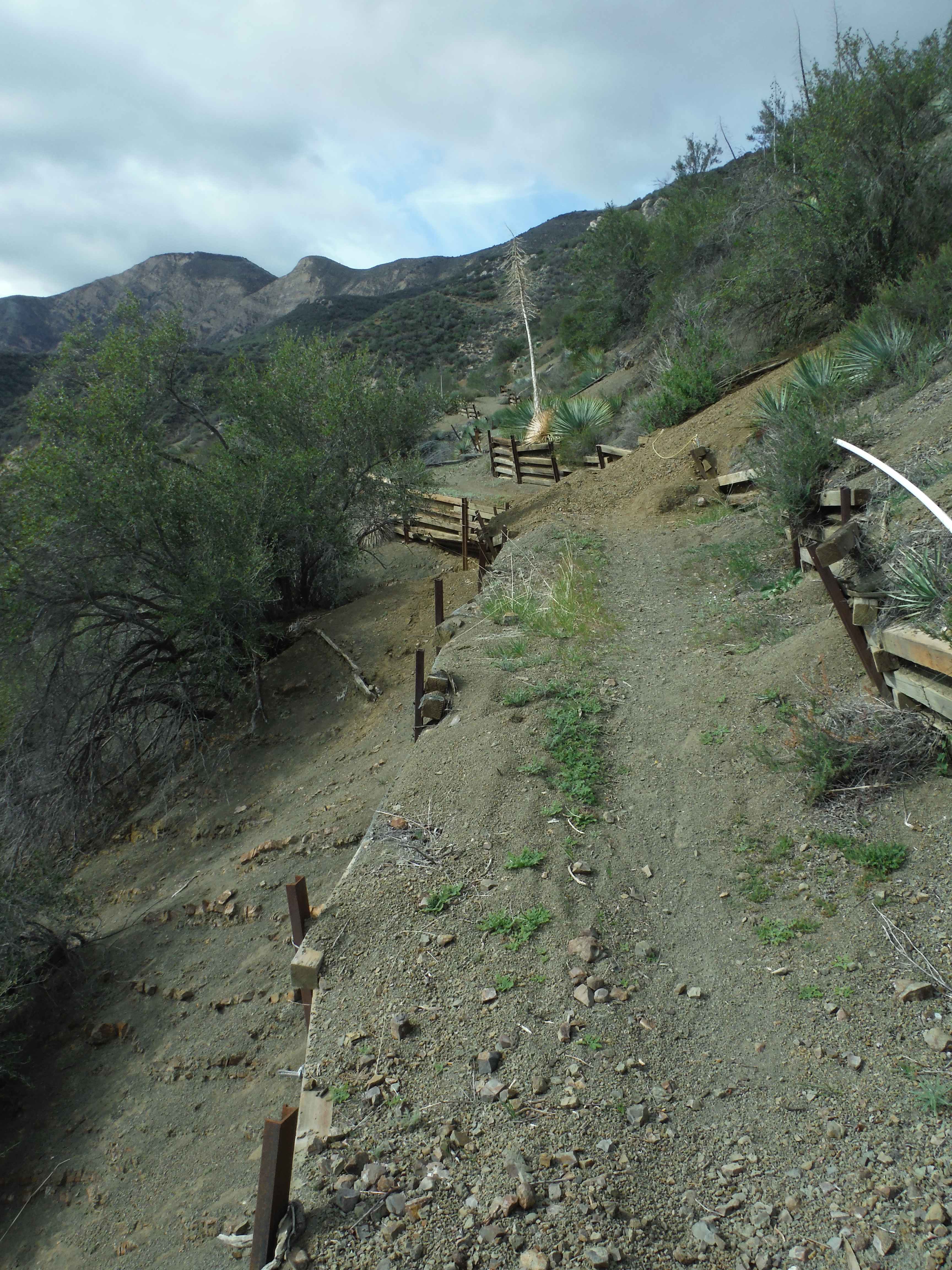
Scree slide along the front of Little Pine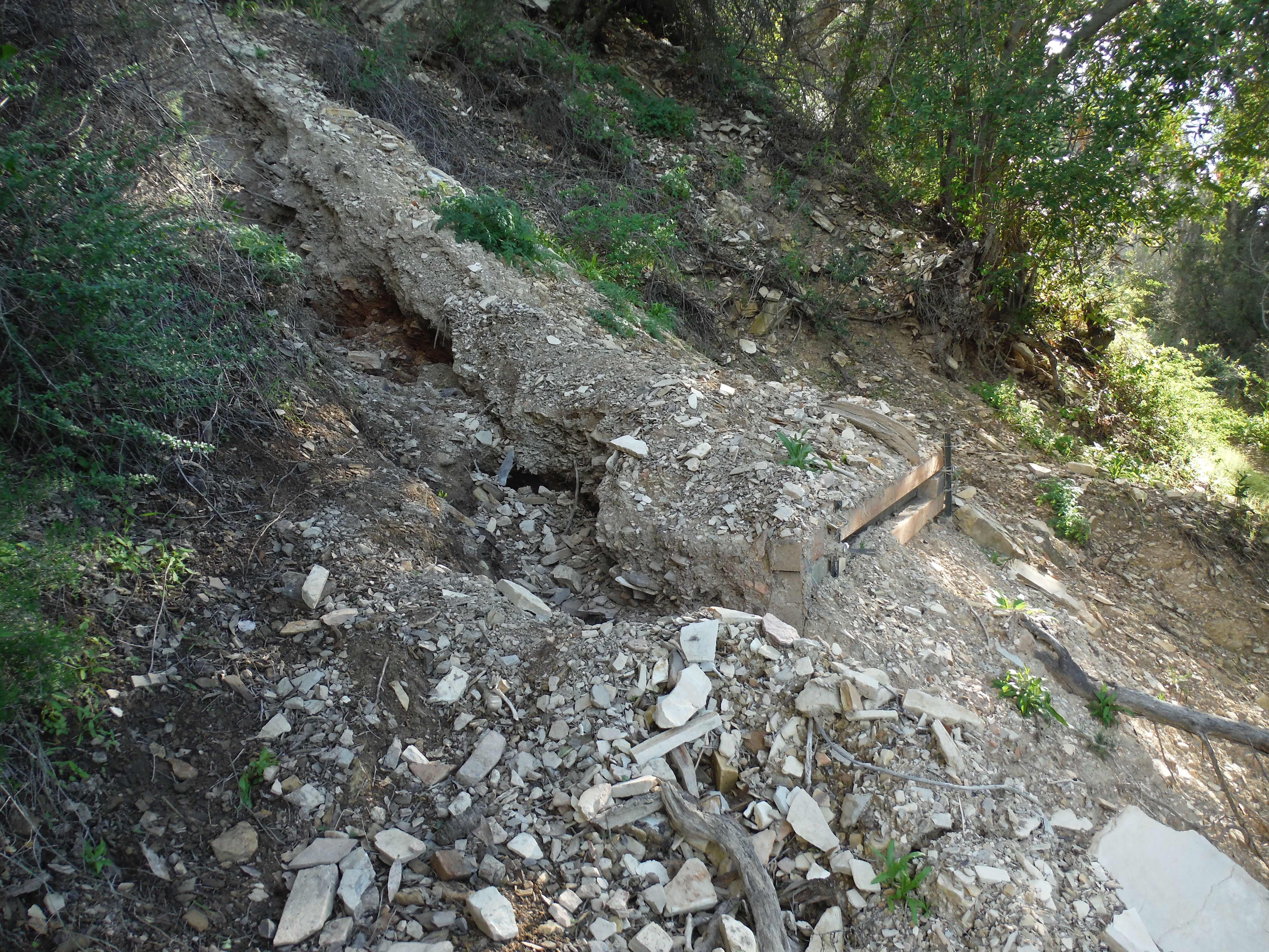
The largest washout along the back (north) of Little Pine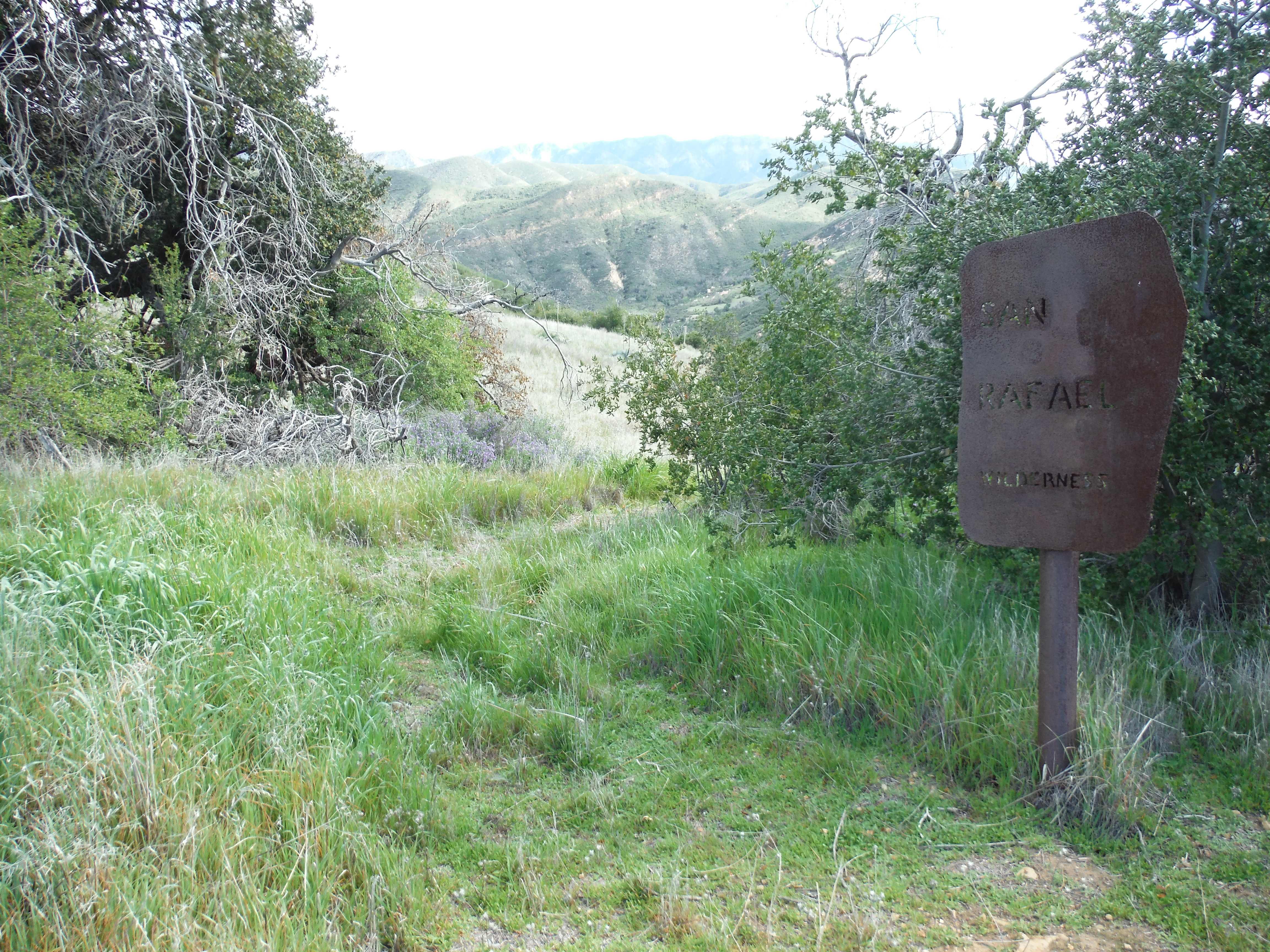
Entering the San Rafael atop Romo Potrero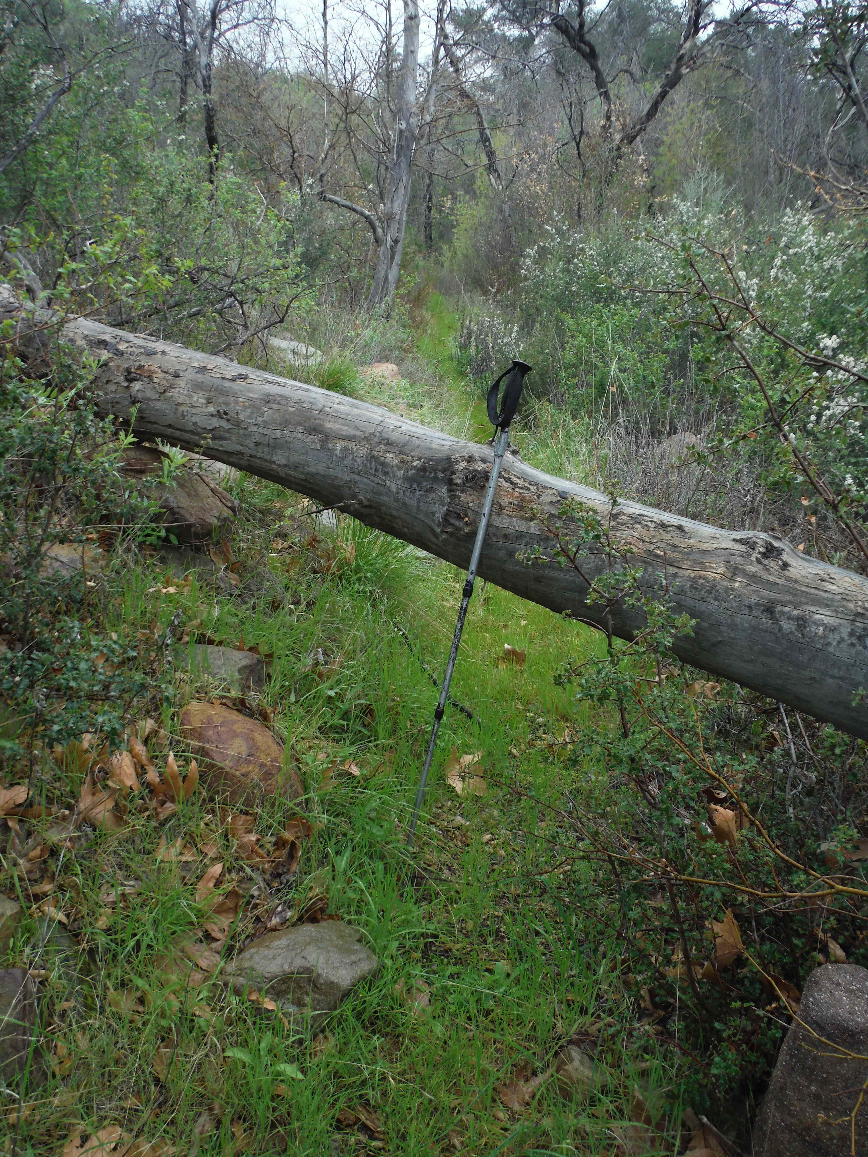
The largest tree along the trail between Flores and Kellogg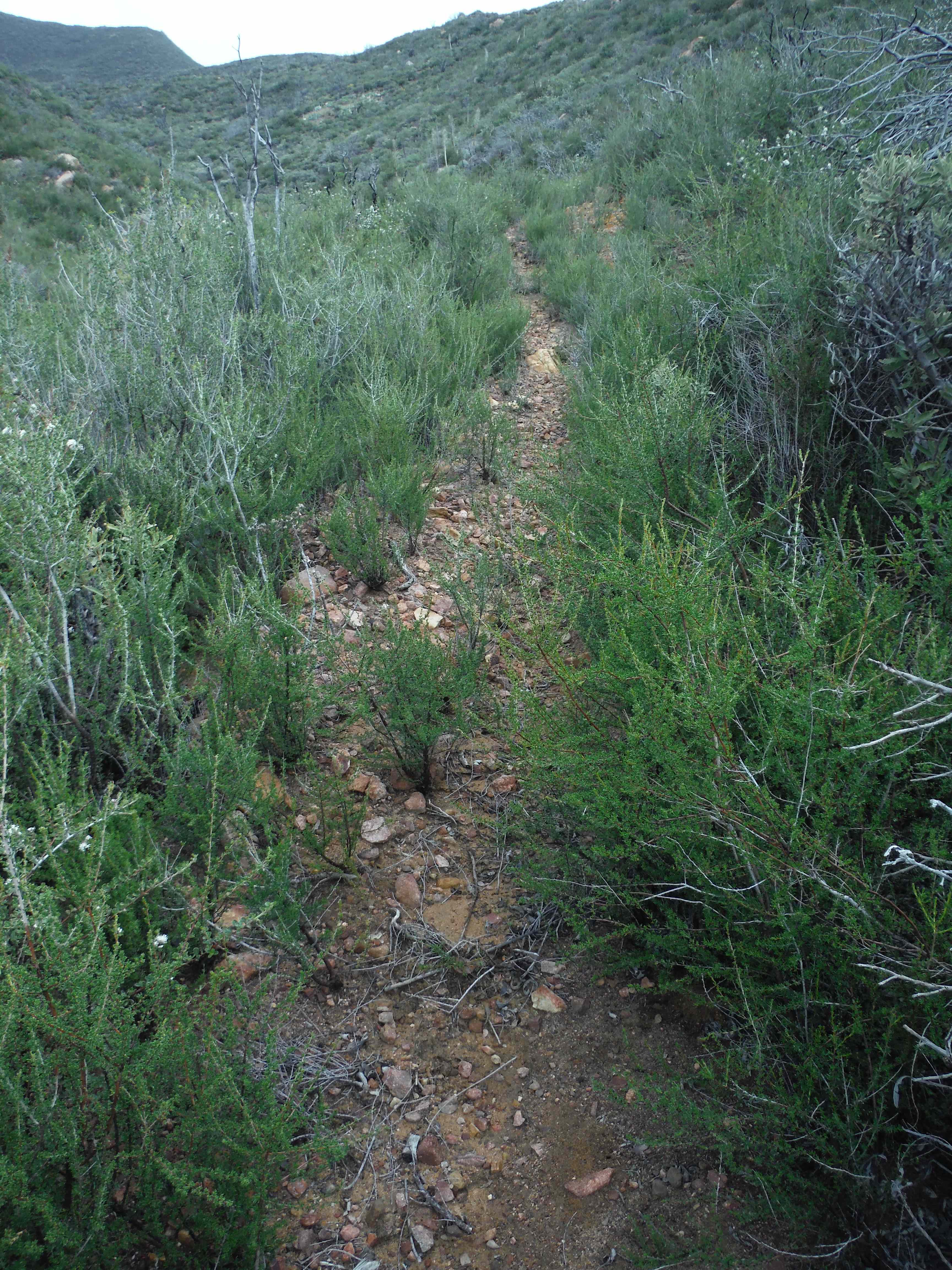
Typical section of trail climbing up to Mission Pine Basin - Santa Barbara Canyon Trail Survey - 02-28-2015 - by Hike Los Padres
Link: Santa Barbara Canyon Trail Date: 02-28-2015 Surveyor Name: Hike Los Padres Trail description: Wilderness Corp and United Trail Maintainers of California led a trail project to log fallen trees from the SB Canyon Trail. Â They counted 25 trees and were able to remove 11 of them from the trail corridor. Â Further projects are planned to remove the remaining downed trees. Mode of transport: Array Trail condition: Needs some work - Sisquoc Trail Upper Survey - 02-27-2015 - by Steve Cypher
Link: Sisquoc Trail Upper Date: 02-27-2015 Surveyor Name: Steve Cypher Trail description: I hiked the Lower Sisquoc Loop 2/27/15 – 3/1/15. Heading upstream from Manzana Schoolhouse the trail becomes faint quickly. There is a lot of brush that needs to be cut back, and fresh, flourishing vegetation in the tread made it faint. There are several places where the original trail followed an old road bed up the sides of the valley – these are becoming very faint and sketchy in places where the trail traverses steep hillsides. It appears most of what little foot traffic this route gets follows social trails along the riverbed. These social paths disappear at each crossing, and sometimes exist on both sides of the river. Remnants of old pieces of flagging tape are more obvious than trail tread in many places. The trail is just too long and remote to conduct effective volunteer maintenance projects.
That said, I really love this hike because the route is so beautiful and remote. There are great places to camp all along. The Sisquoc is dry at the Schoolhouse, but was flowing well just below Water Canyon Camp. I stayed at Miller Canyon Base the first night and South Fork Station the second. The trail is easy to follow east of Sycamore Camp, but still rough and sketchy in spots.
Mode of transport: Hike Trail condition: Hard to follow Condition details: Trail is faint due to lack of use & maintenance. - Aliso Trail Survey - 02-27-2015 - by Bryan Conant
Link: Aliso Trail Date: 02-27-2015 Surveyor Name: Bryan Conant Trail description: Trail was in good shape and easy to follow. Â Of course, some work is needed, but compared to other nearby trails this trail is in good shape. Â Mostly needs brushing and some light tread work. Mode of transport: Hike Trail condition: Good shape and easy to follow Images: 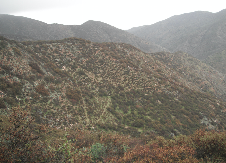
Looking down at the switch backs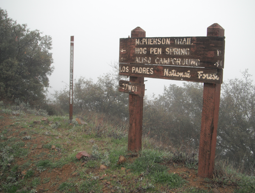
Upper trailhead lists the trail as McPherson Trail - Mcpherson Trail Survey - 02-27-2015 - by Los Padres Forest Association
Link: Mcpherson Trail Date: 02-27-2015 Surveyor Name: Los Padres Forest Association Trail description: The trail was in better shape than expected. Â The first half of the trail from Aliso Park Campground was in great shape. Â It gradually got worse the farther up towards McPherson Peak. Â We got lost a few times but were quickly able to re-find the trail. Â It's mostly scrub oak that is closing in on the trail. Â The top 200 yards are in perfect shape as well. Mode of transport: Hike Trail condition: Needs some work Images: 
Someone really hated yuccas. All the yuccas were cut off halfway up their stalks.
Nice views north into the Cuyama Valley. - Alejandro Trail Survey - 02-26-2015 - by SteveM
Link: Alejandro Trail Date: 02-26-2015 Surveyor Name: SteveM Trail description: Four of us camped for one night at Alejandro Camp and spent a day and a half trimming poison oak and other shrubbery, which overhangs the trail from Colson TH to Alejandro Camp, and the connector trail from the camp to LaBrea Canyon. Â The trail needs work here and there, including more brush clearing, but is generally easy to follow. Â There are a few spots along the connector trail where gps guidance is helpful due to a lack of a clear path and/or flags. Â There is one old major tree fall requiring a detour. Â The trail drops steeply into LaBrea and is very narrow and eroded in a few places. Â This entire route does not get much use, but is an excellent hiking area. Mode of transport: Hike Trail condition: Needs some work Images: 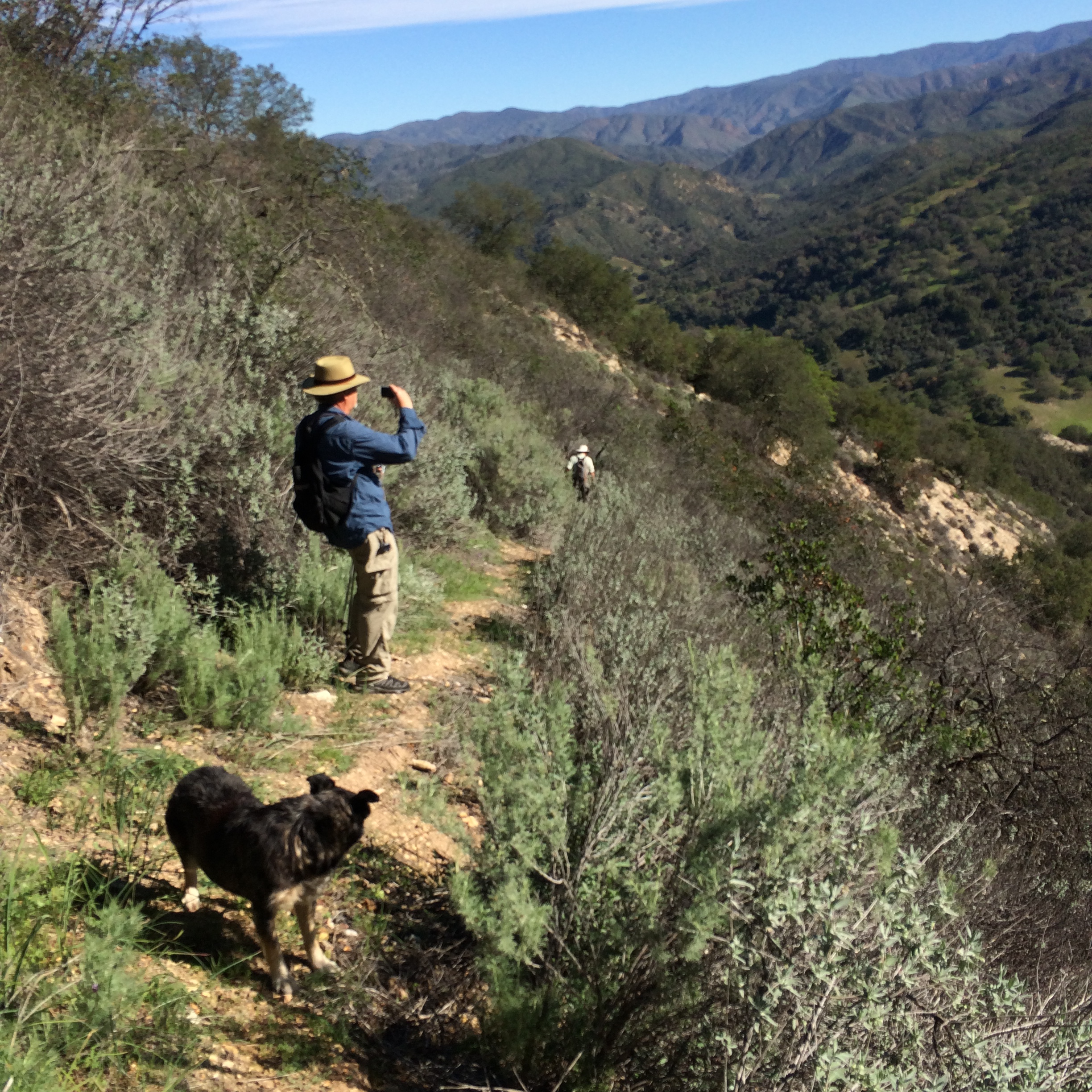
along the connector trail
along the connector trail - Alejandro Trail Survey - 02-25-2015 - by Anonymous Surveyor
Link: Alejandro Trail Date: 02-25-2015 Surveyor Name: Anonymous Surveyor Trail description: One old tree fall. Hiked from colson to camp. volunteers were trimming the day we went, trail was easy to follow. Mode of transport: Hike Trail condition: Needs some work - Chorro Grande Trail Survey - 02-22-2015 - by Los Padres Forest Association
Link: Chorro Grande Trail Date: 02-22-2015 Surveyor Name: Los Padres Forest Association Trail description: As reported by Erin the Great: Lower Chorro Grande trail in good condition from recent trail work. Middle Chorro Grande is over grown in some sections and needs trimming, but ok for los padres standards. Chorro spring is barely flowing, but enough water there to pump. Downed oak tree on trail just uphill from Chorro spring. Its not hard to walk around though. Downed White Fir Tree up on pine mtn road near the reyes peak campground outhouse. No snow at all, not even on north side of reyes peak.Mode of transport: Hike Trail condition: Needs some work Images: 
Downed pine blocking the road at the top
Spring at Chorro Camp - North Fork Lockwood Trail Survey - 02-21-2015 - by Steven Calkins
Link: North Fork Lockwood Trail Date: 02-21-2015 Surveyor Name: Steven Calkins Trail description: Trail is in good shape, no trees down and well defined. Mode of transport: Hike Trail condition: Good shape and easy to follow - Lopez Canyon Trail Survey - 02-21-2015 - by Curt Cragg
Link: Lopez Canyon Trail Date: 02-21-2015 Surveyor Name: Curt Cragg Trail description: The trail does still need some work, but it is probably in the best shape that it has been in for some time thanks to some recent trail projects including the one we did today with LPFA clearing fallen trees off of the trail. Â Be prepared for poison oak thoough. Â There is plenty of it and it is just starting to bloom so it is likely to get worse through the spring and early summer. Â Water flow is excellent in the creek and both camps, Sulpher Pots and Upper Lopez are in great shape. Mode of transport: Hike Trail condition: Good shape and easy to follow Images: 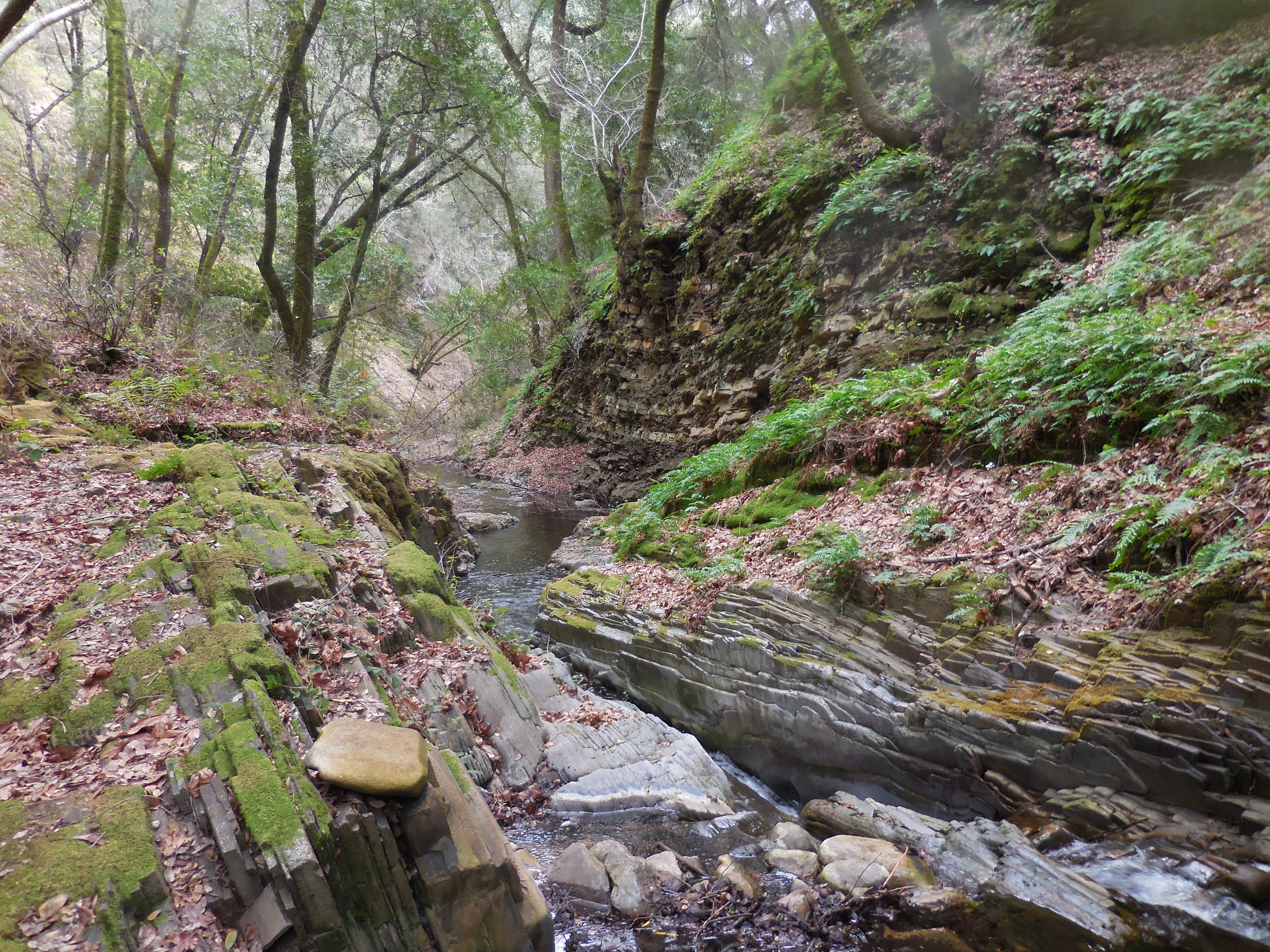

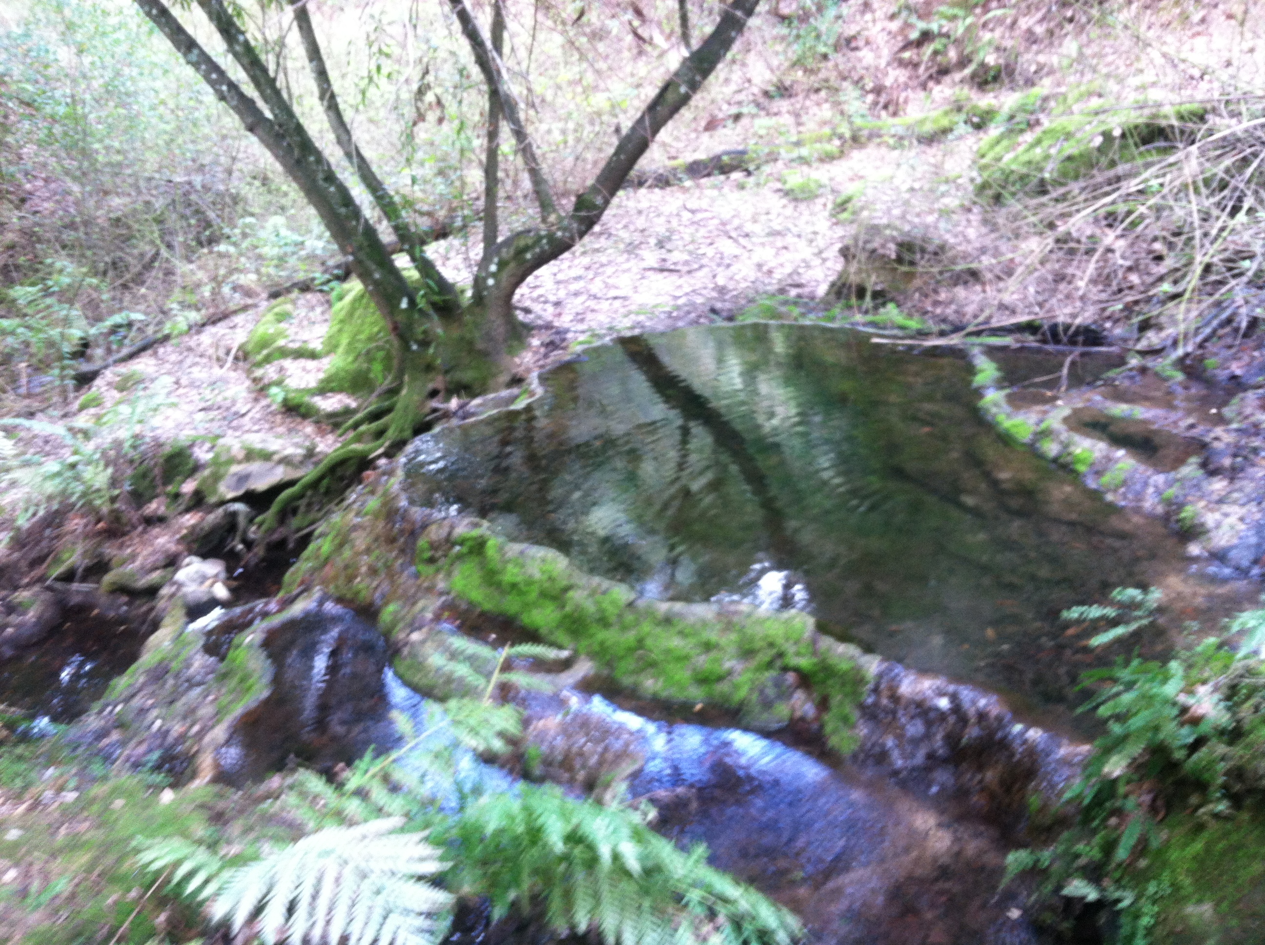
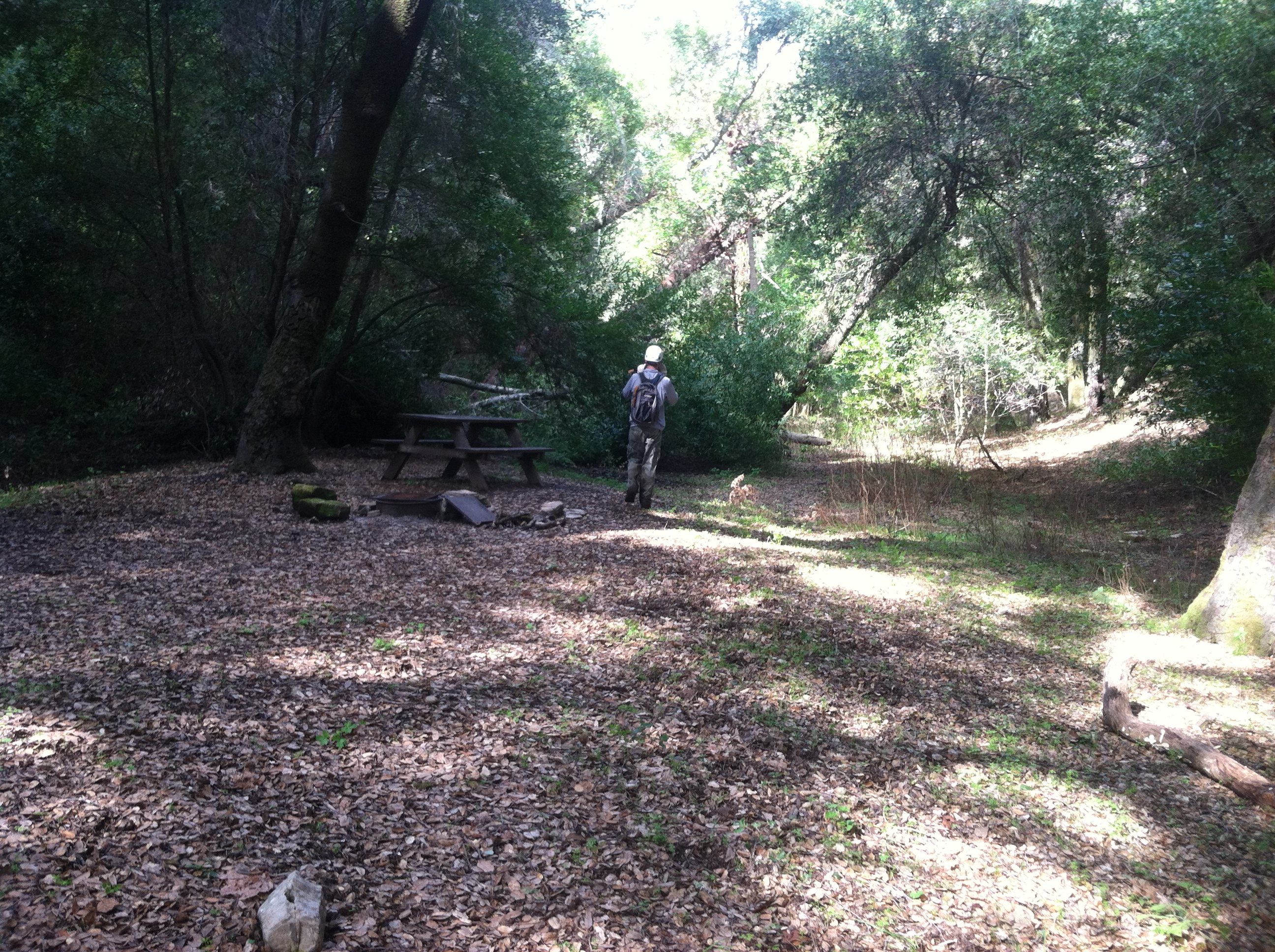
- Blue Canyon Connector Trail Survey - 02-21-2015 - by Paul Cronshaw
Link: Blue Canyon Connector Trail Date: 02-21-2015 Surveyor Name: Paul Cronshaw Trail description: A nice level hike from Cottam Camp to the dirt road passes through some oak grasslands.  There was no water in the sections of this trail that cross the Blue Canyon Creek and Santa Ynez River. The last section of trail is a little hard to find; it follows the SYRiver before a steep ascent up the bank to the dirt road. Mode of transport: Hike Trail condition: Good shape and easy to follow Images: 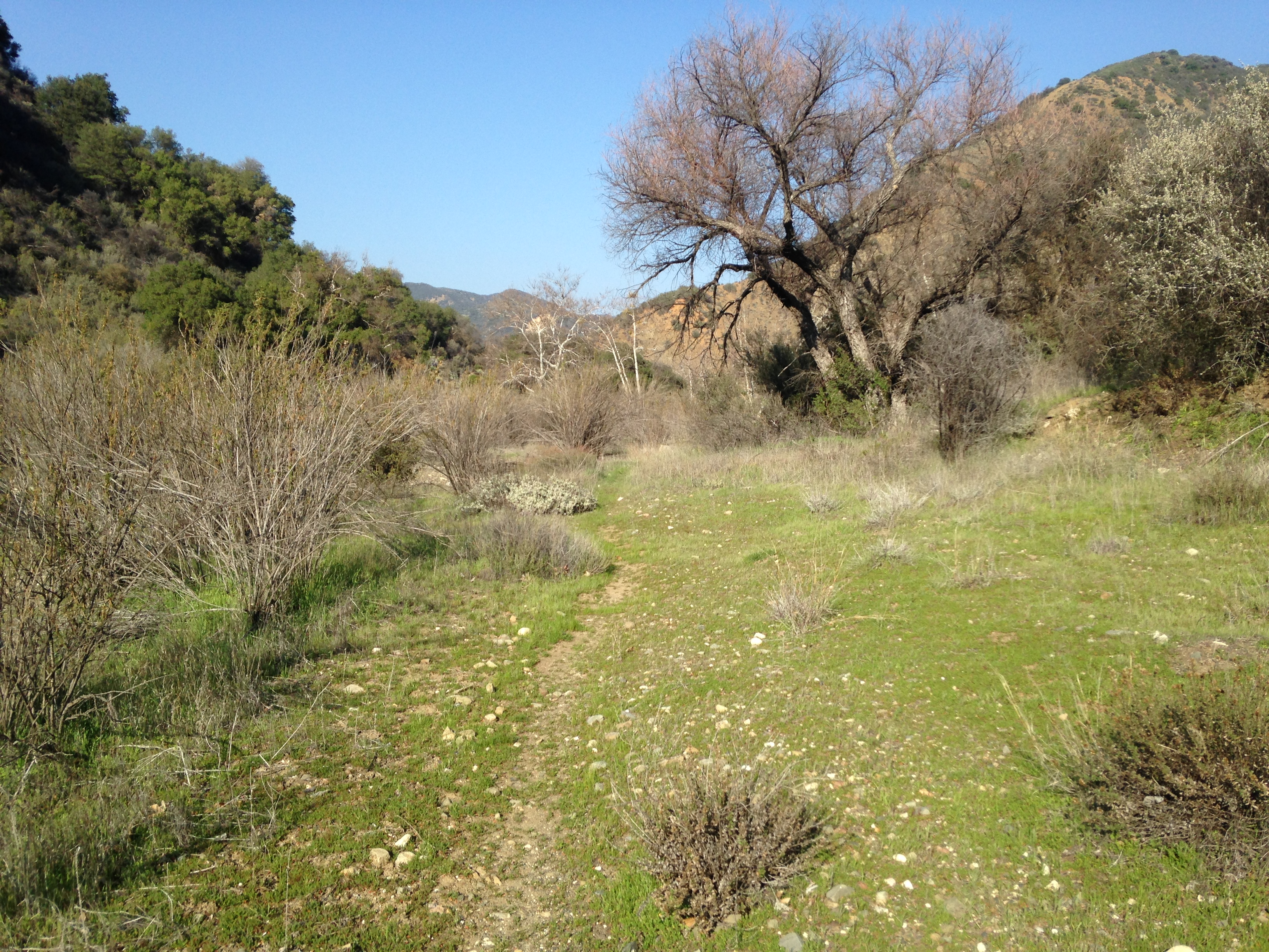
Trail section about 1/4 mile north of Cottam Camp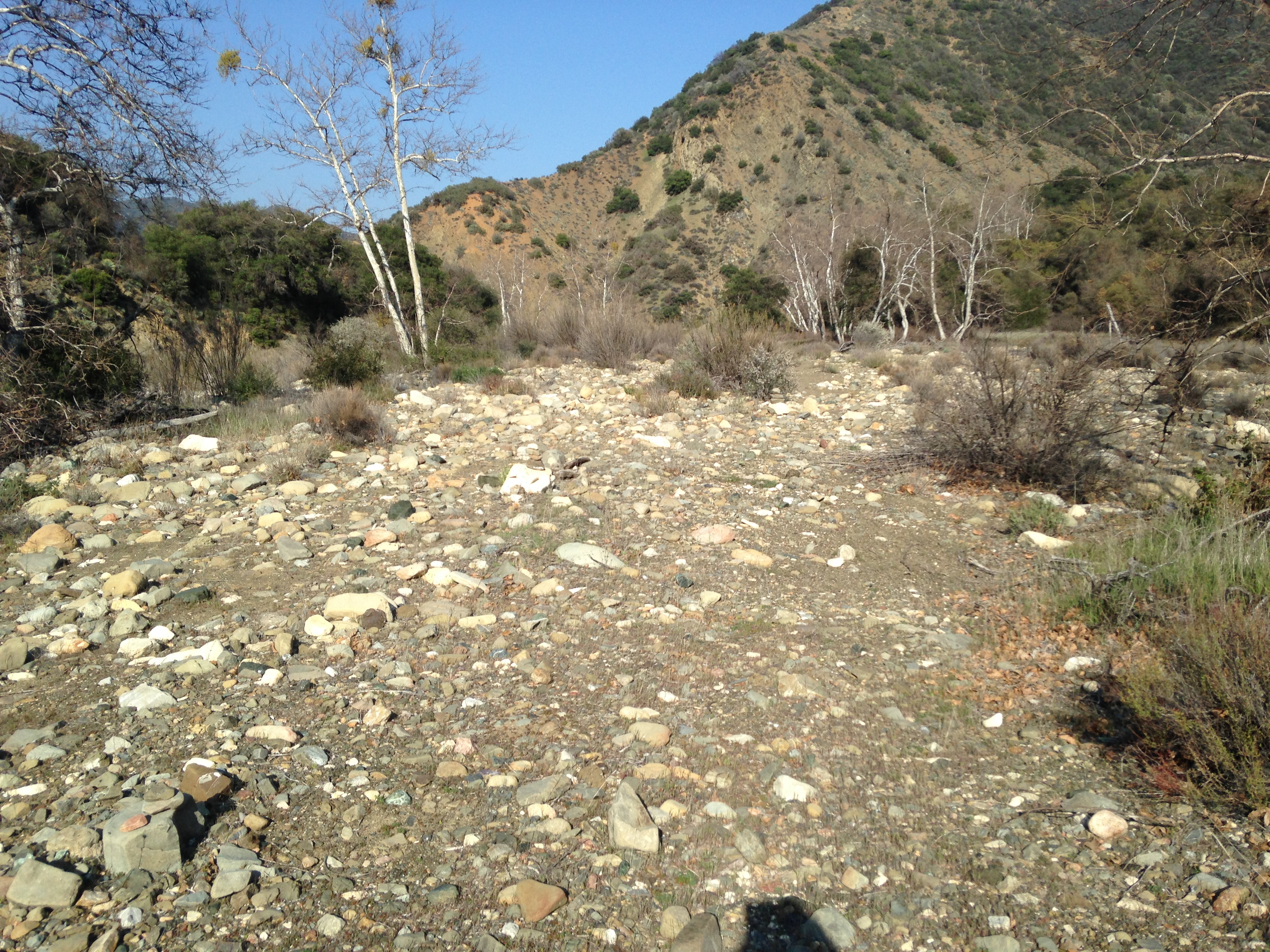
The trail follows this wash in Blue Canyon Creek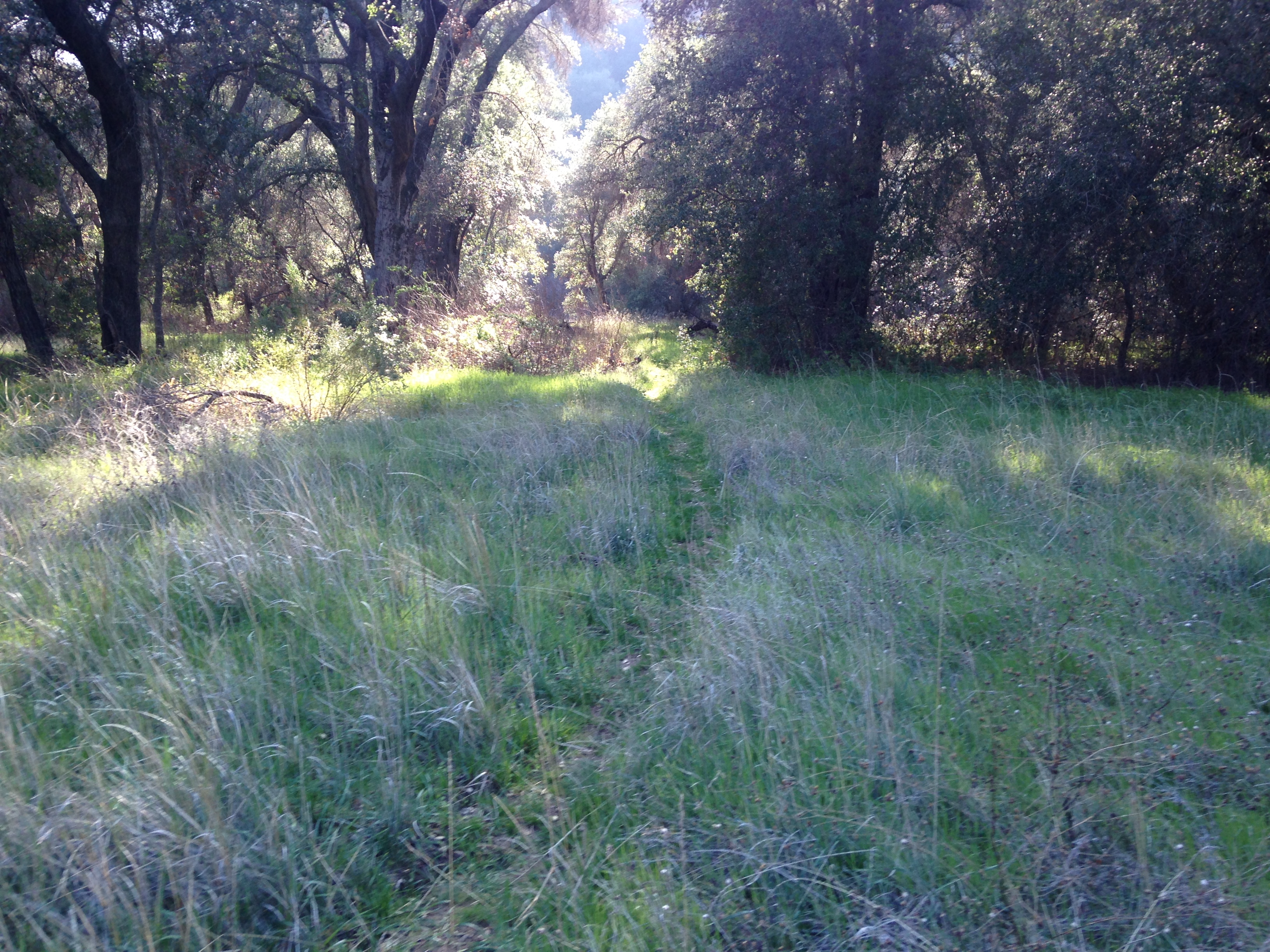
Oak grassland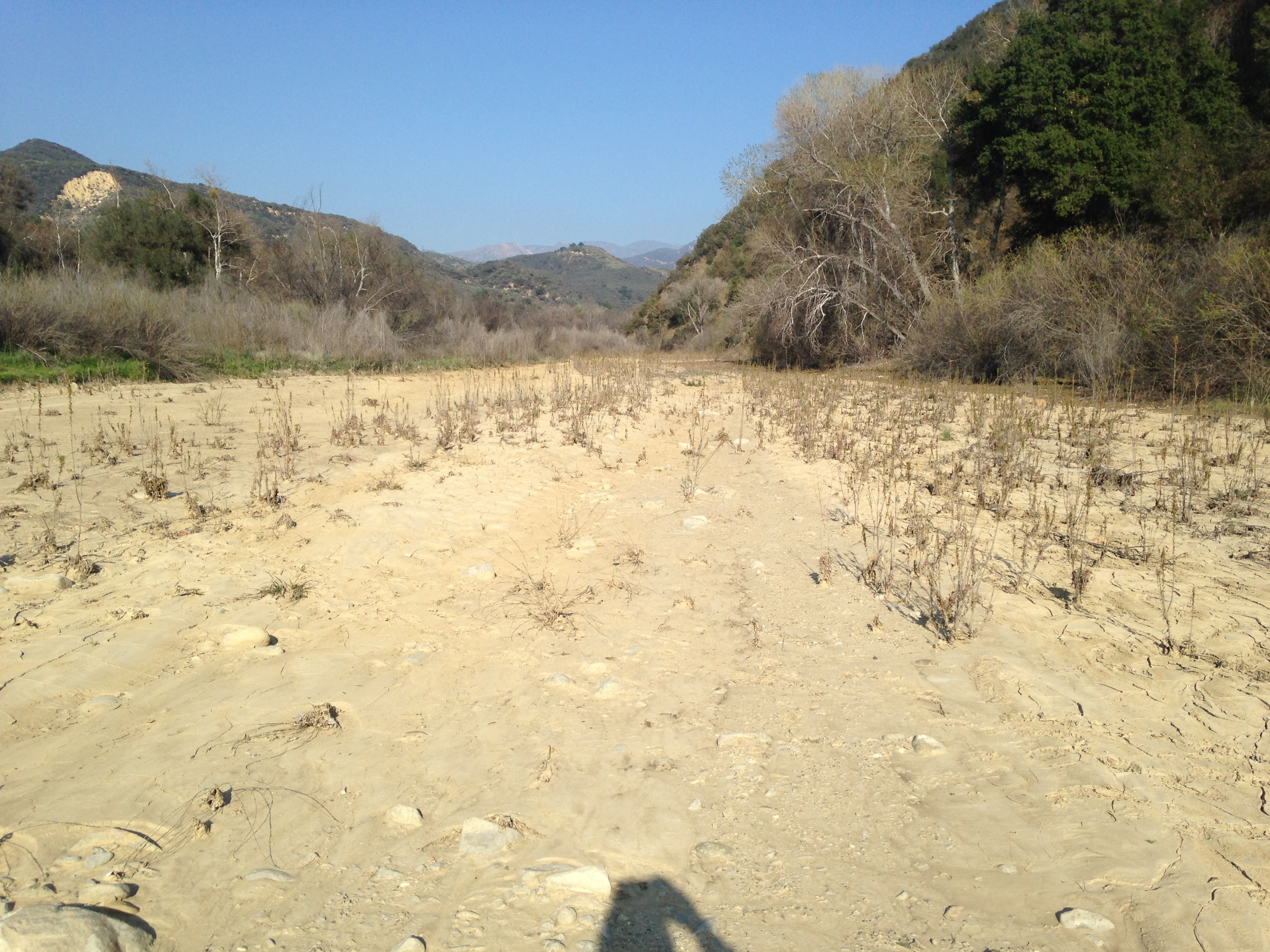
Santa Ynez River crossing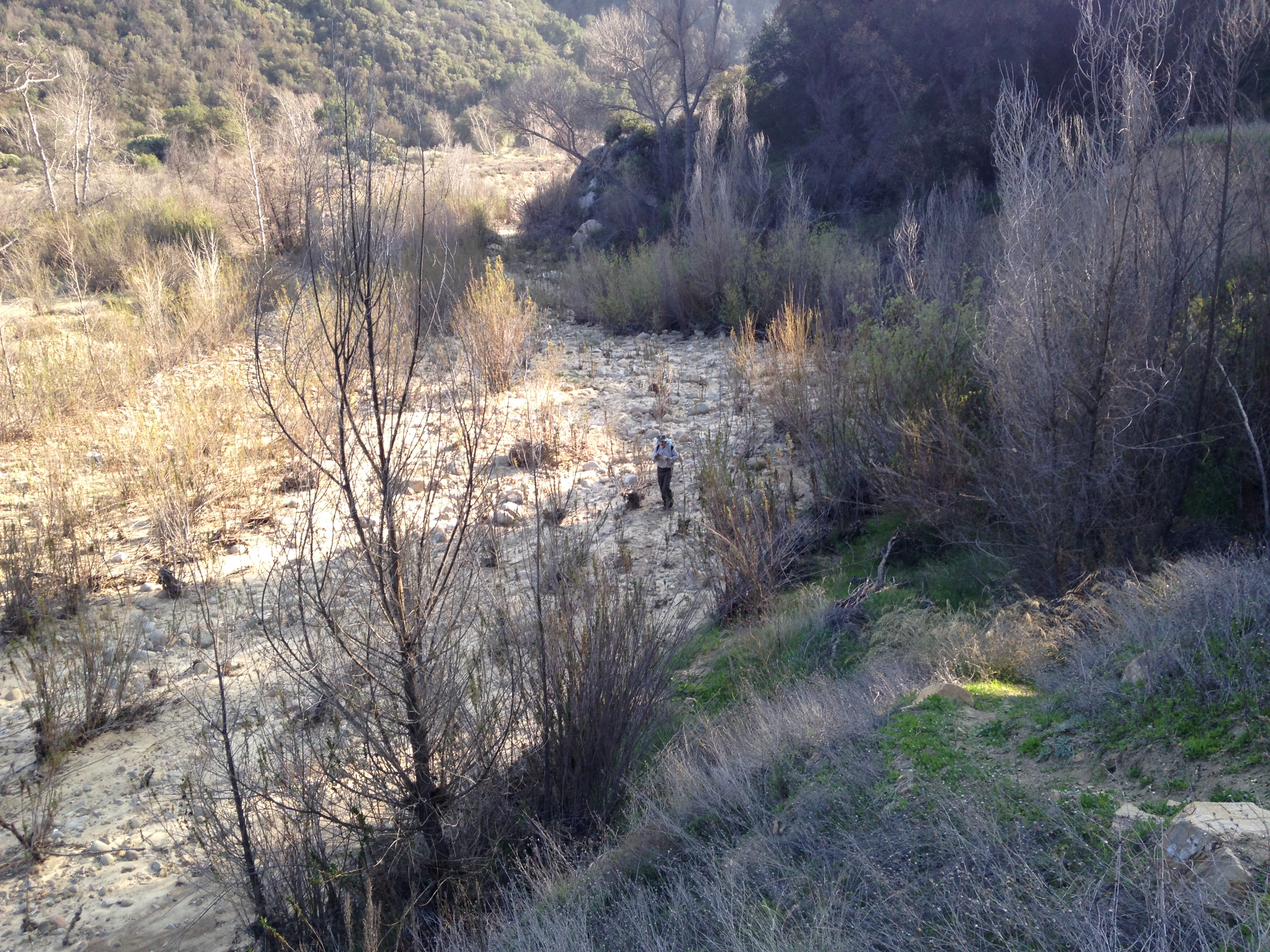
Trail passes through the Santa Ynez river before climbing the bank to the road - Chorro Grande Trail Survey - 02-15-2015 - by Anonymous Surveyor
Link: Chorro Grande Trail Date: 02-15-2015 Surveyor Name: Anonymous Surveyor Trail description: This is for the very lower portion of the trail up to Oak Camp.
In general, the trail is in very good condition. It does see a fair amount of use (at least relative to other trails in the Sespe region), so it's unlikely to get overgrown any time soon.
However, it's clear that a little bit work needs to be done. Some parts of the trail are indistinguishable from the creek. Parts of the trail are brushy and needs clipping.
Other than that it's all pretty nice. A load of bugs as usual. Not many ticks when I was there.Mode of transport: Hike Trail condition: Good shape and easy to follow - Mission Pine Trail Survey - 02-15-2015 - by Curt Cragg
Link: Mission Pine Trail Date: 02-15-2015 Surveyor Name: Curt Cragg Trail description: McKinley Saddle to MP Basin VWR Trail Recon Hike
Sunday, February 15, 2015
VWR’s:  Curt Cragg and Skip Boyland
Objective: Â Drive up McKinley fire road from Cachuma Saddle to look at road conditions. Â Check McKinley Spring Camp. Â Hike from McKinley Saddle to Mission Pine Basin to check on trail conditions and tree falls from prior report in anticipation of trail project scheduled for February 27-March 1, 2015
McKinley Fire Road Condition: Â Excellent, no major washouts, tree falls or slide areas.
McKinley Springs Camp: Â Full. Â There was a bachelor party group of 13 backpackers from the L.A. area camping at McKinley Spring. Â They did an excellent job of cleaning up trash left by previous campers. Â We hauled out trash so that they did not have to pack it down the road. Â Counseled them on making sure that they soak their campfire tomorrow when they leave.
Mission Pine Trail from McKinley Saddle to Mission Pine Spring:  The first mile to two miles to San Rafael peak needs brush work and some tread repair which we will address on the upcoming trail project.  There are four tree falls past San Rafael Peak on the trail leading down into MP Spring camp that need to be cleared (see photos).  All can be addressed with a 4’ crosscut saw.  There are two tree falls just past the camp that also need to be cleared.  Areas of flowing water along the trail from recent rain storm.
Mission Pine Spring Camp: Â Empty. Â Camp is in good condition. Â Bears have been chewing on the picnic table. Â Water flow at spring is excellent and very fresh.
Mission Pine Trail from MP Spring to MP Basin: Â First two miles past the tree falls near the camp, trail is in generally good condition with the need for some tread repair and brush work, but not overgrown. Â From two miles east to MP Basin camp there are several areas that need brush work, tread repair and tree clearing. Â The switchbacks leading into the MP Basin drainage probably need the most work. Â Most of the tree falls are match sticks, but there are a few larger trees that need to be cleared. Â This will be the primary focus of the trail project on Saturday, February 28th.
Mission Pine Basin Camp: Empty. Â The trail junction from the MP Trail to the MP Camp has been lost and needs signage. Â It is unclear where to leave the trail to hike to the camp and the trail to the camp is hard to follow due to brush and tree falls. Â There are several tree falls across the trail that passed the camp as well. Â The camp is showing promising signs of new pine tree growth, but the campsite is barren and has several hazard trees that need to be dropped. Â There was water in the drainage around MP Basin Camp.
Link to photos: Â https://www.dropbox.com/sh/ve2f5zw2zr4l992/AACO9PCItZcwbEDd56S12DYya?dl=0
Mode of transport: Hike Trail condition: Good shape and easy to follow - Sisquoc Trail Lower Survey - 02-15-2015 - by Los Padres Forest Association
Link: Sisquoc Trail Lower Date: 02-15-2015 Surveyor Name: Los Padres Forest Association Trail description: Water is flowing along the Sisquoc from South Fork to just below Water Canyon. Â The trail is followable for most of that stretch but does require some route finding skills. Â Look for flagging to help you along your way. Mode of transport: Hike Trail condition: Needs some work - Gridley Trail Survey - 02-15-2015 - by Donna Spencer
Link: Gridley Trail Date: 02-15-2015 Surveyor Name: Donna Spencer Trail description: This trail has no issues, I did it a shuttle hike. I had my DAD drop me off at the trail head and hike to the Nordoff Ridge Road and got picked up at the bottom of the Howard Creek Trailhead. The views from the Nordoff Roas was spectacular from the Pacific Ocean and surrounding mountain area.  Just be on the look out for mountain bikers.   Mode of transport: Hike Trail condition: Good shape and easy to follow - Salmon Creek Trail Survey - 02-14-2015 - by Anonymous Surveyor
Link: Salmon Creek Trail Date: 02-14-2015 Surveyor Name: Anonymous Surveyor Trail description: After estrella it gets thin on parts of the trail and planta overgrowing the trail on some parts definetly all uphill basically until you get to the fire road. Its ablut 2.5 miles but it feels like 4Â Mode of transport: Hike Trail condition: Needs some work Condition details: A little overgrown - Fir Canyon Davy Brown Trail Survey - 02-14-2015 - by Shriner
Link: Fir Canyon Davy Brown Trail Date: 02-14-2015 Surveyor Name: Shriner Trail description: Between miles 0-1 trail is in fair to good condition, no work needed. Between Miles 1-2 sections of the trail are angled and loose and would be sketchy for those not sure footed. A little work could go a long way especially since the ground is soft now. Also around mile 1.6-2 dormant poison oak is just waiting to take over the trail. Now would be an excellent time do some preventative removal.Stream is low but running nicely and even saw a few trout darting around in bigger holesOne guy and a couple were seen on the trail.Mode of transport: Hike Trail condition: Needs some work Condition details: Just needing tread work - Blue Canyon Trail Survey - 02-14-2015 - by Paul Cronshaw
Link: Blue Canyon Trail Date: 02-14-2015 Surveyor Name: Paul Cronshaw Trail description: Except for the two downed trees, the trail corridor from the Blue Canyon Trailhead to Cottam Camp is in good condition.  I restored the tread on a few small slides.  There is flowing water at all the creek crossings.  Contrary to a previous survey there were no ticks. Mode of transport: Hike Trail condition: Needs some work Condition details: Two downed trees need to be removed Images: 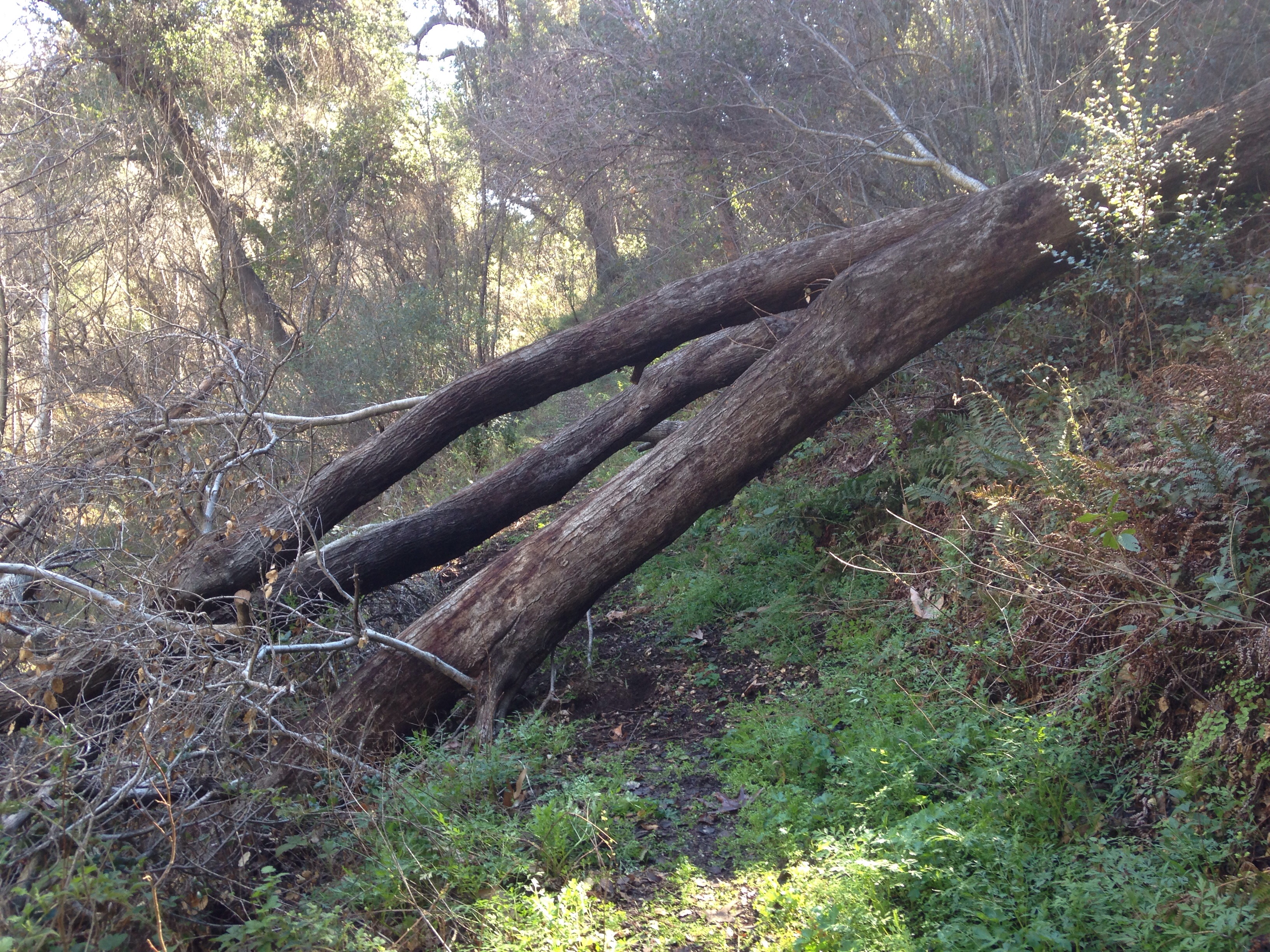
This is the largest downed tree located about 1/2 mile before Upper Blue Canyon Camp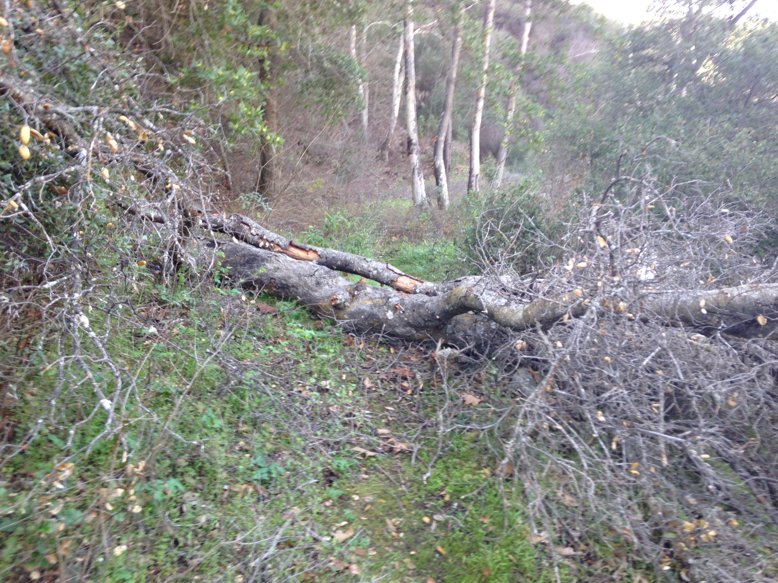
Second downed tree located 1/2 mike before Blue Canyon Camp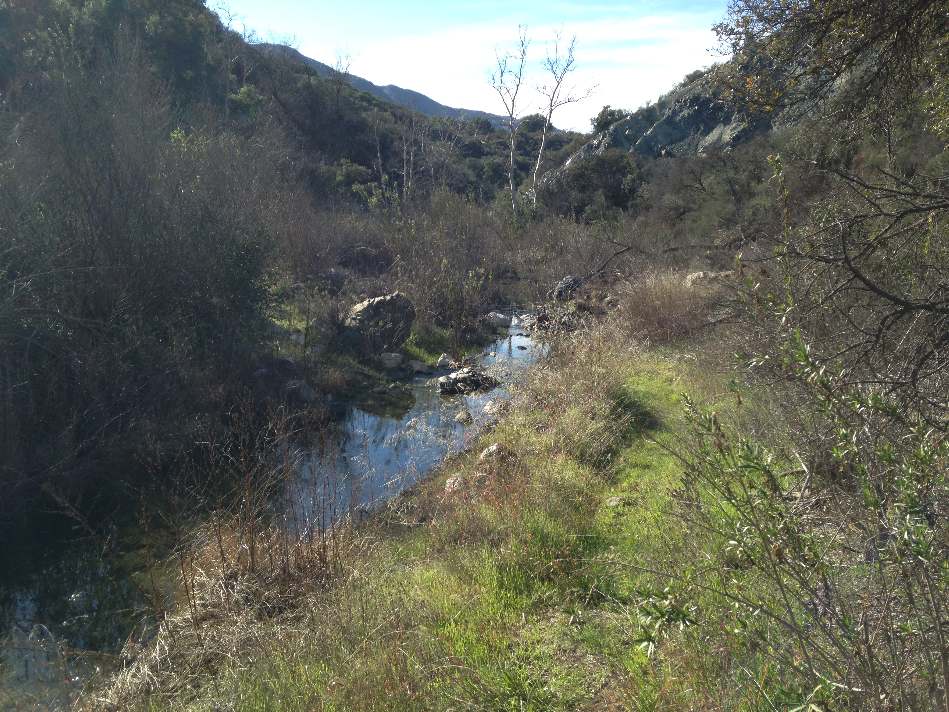
Water in the Blue Canyon Creek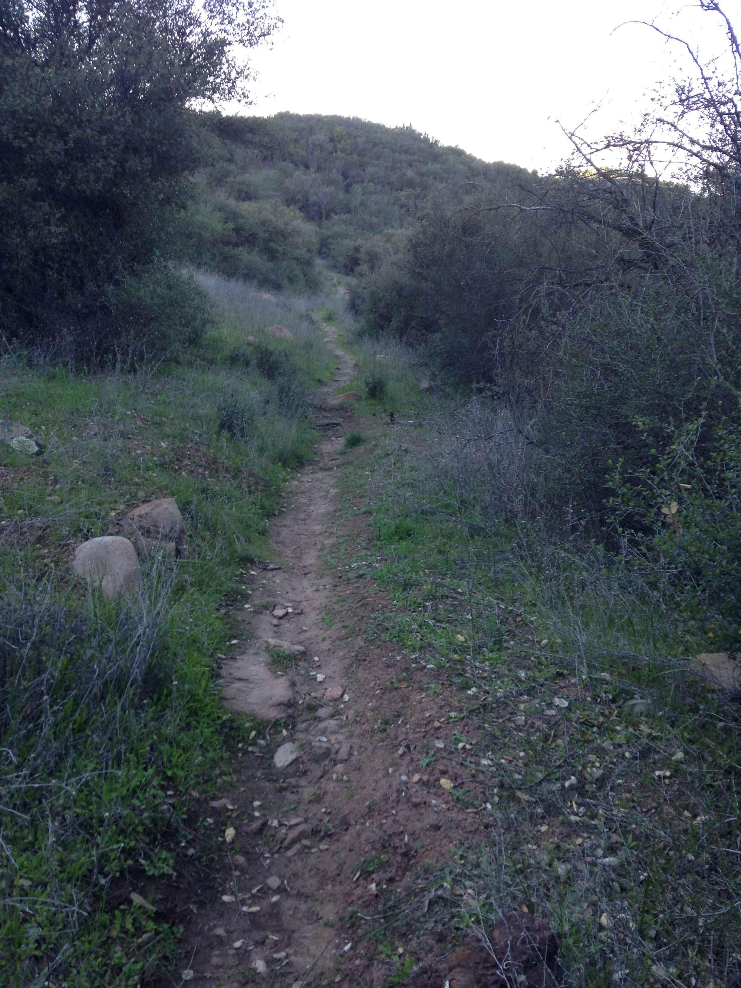
Section of trail before Cottam Camp - Piedra Blanca Trail Survey - 02-13-2015 - by Aaron and Tom Songer
Link: Piedra Blanca Trail Date: 02-13-2015 Surveyor Name: Aaron and Tom Songer Trail description: We through hiked the trail from Reyes Creek to Piedra Blanca Trailhead in 3 days and two nights. I heard about a possible trail project along this trail so I hope this information helps. We didn't have GPS, so I will try to describe the areas in need of work as best as I can; if you have any questions you can email me at aaronsonger4321@gmail.com. Overall, this was a great backpacking trip and I would recommend it to anyone who is looking for a place that is not too far away. For descriptions of each camp along this trail, look for my camp surveys. Reyes Creek to Beartrap- 2/13/15This section was very nice and the trail was in great condition. When going over the saddles, there are great views of the badlands. The weather was clear and calm with temperatures in the low to mid 70s. There is now overgrowth, no downed trees, and no tread/trail work needed. Rasberry Drainage, Reyes Creek, and Beartrap Creek were all flowing.Beartrap to Three Mile- 2/14/15We did not have any trouble finding the trail, but it is definitely in need of some work. The trail was moderately overgrown and needs pruning coming out of Beatrap and along the creek as the canyon narrows. The trail will most likely be harder to find come spring time.There are a few shaley areas where light tread work is needed through this section: first is right after Beartrap Camp where a tree has uprooted and taken some of the trail with it (see photos), second is along the steep ascent with switchbacks leading up to a saddle as you leave Beartrap Creek drainage at about mile 7 (see photos). Another spot that could use some tread work is just after Beartrap Camp along the creek where the canyon narrows, especially at the creek crossings.I counted a total of 18 downed trees from about mile 7.5, at the saddle where you leave Beartrap Creek drainage and descend into Peidra Blanca Creek drainage, out to about a quarter mile past Three Mile Camp. The downed trees were somewhat grouped near each other, so if you see one downed tree, there will likely be a few more within about a half mile of the first; one exception of this would be the downed tree about a quarter mile after Three Mile Camp. In some cases, there were two downed trees next to each other. I have attached a photo of the largest downed tree so you can get an idea of what size saw to bring (see photos), I would say that it is about 4-5 feet in diameter. There is one other very large downed tree on the Reyes Peak Trail right at the junction with the Gene Marshall-Piedra Blanca Trail. Note: the first two downed trees are located right before the photo described as 'Entering Piedra Blanca Creek drainage'.This was my favorite section because there is a descent down into a tight canyon along side the Piedra Blanca Creek that is heavily forested with pines and cedars. The weather was clear and breezy with temperatures in the high 60s and low 70s. Both Beartrap Creek and Piedra Blanca Creek were flowing.Three Mile to Pine Mountain Lodge- 2/14/15The trail on this section was in good condition and easy to follow. No tread work is needed but there were two or three very small downed trees before Pine Mountain Lodge. It could also use light pruning.One problem we had was the lack of signage at the junction to go down along the North Fork Piedra Blanca Creek. Before entering the camp, there was a small plastic sign showing Pine Mtn. Lodge ahead and Three Mile behind instead of have a clearer sign showing the junction and mileage.If you look really hard just before Three Mile Camp and right after Three Mile Camp before the first knoll, you might find some old LP Forest isolators on some pine trees (see photos), my guess is that back in the old days, they wired Thorn Point Lookout with Reyes Peak Lookout so that they could communicate with each other. The weather was clear and breezy and the temperature was in the mid to high 60s.Pine Mountain Lodge to Piedra Blanca Trailhead- 2/15/15This section was very steep going downhill to Twin Forks. It had great views that spanned over the LP Forest. There were no downed trees, but the trail could use some light pruning and tread work. If anyone has time, I would recommend day hiking out to Twin Forks in spring because there are wildflowers sprouting everywhere (mostly lupines).Both the North Fork and Main Piedra Blanca Creeks had really good flow. The chaparral is coming back really nicely and we found some trout starting to come back as well. The weather was clear and calm with temperatures in the mid to high 70s.When we got to Piedra Blanca Trailhead, there were at least 90 cars parked in the parking lot and up the road; a lot of backpackers and a lot of hikers.       Â ÂMode of transport: Hike Trail condition: Needs some work Condition details: Good Shape and easy to follow from Reyes Creek to Beartrap, Needs work from Beartrap to Piedra Blanca Trailhead Images: 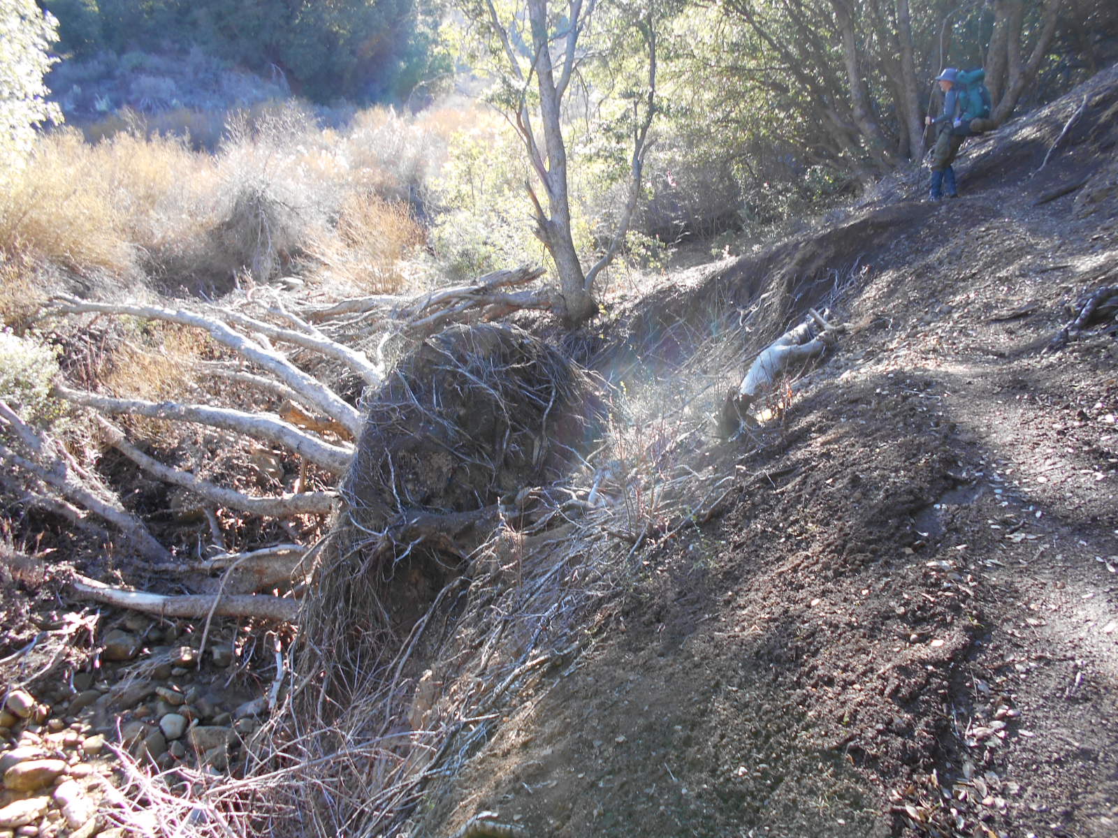
Uprooted Tree (tread work)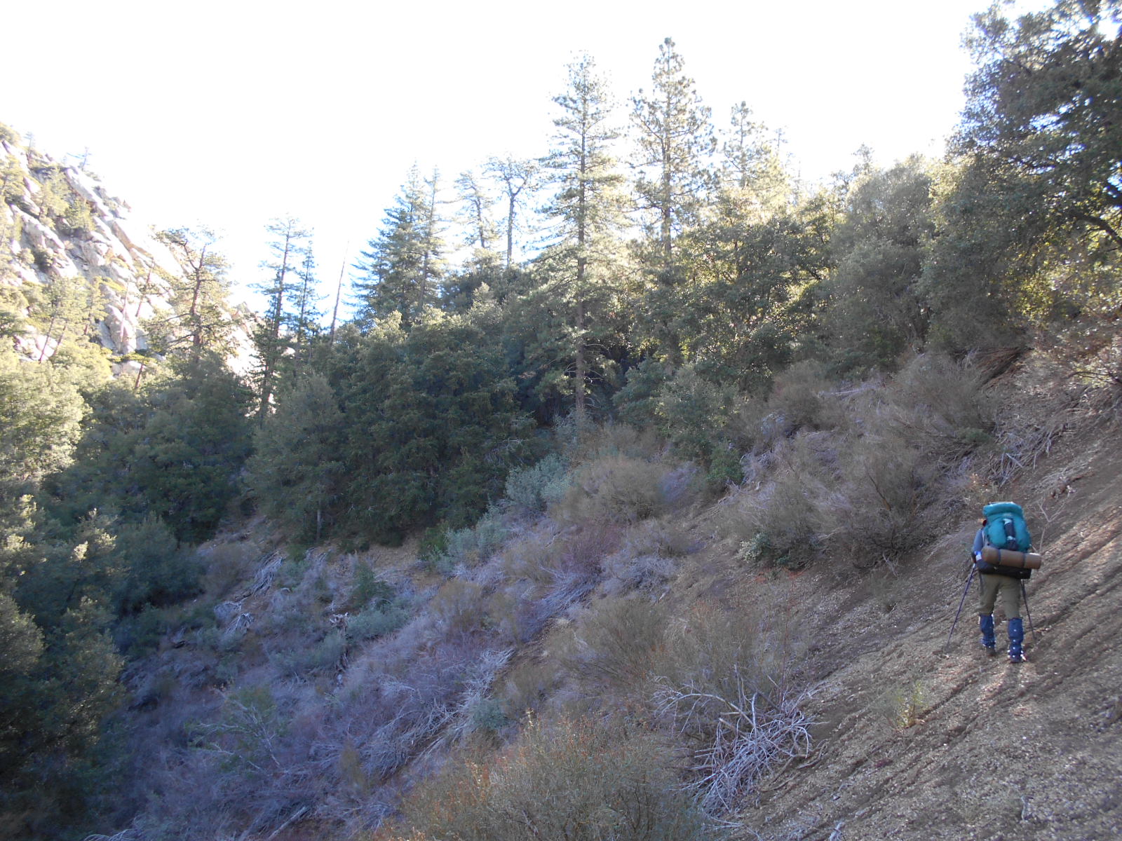
Switchbacks leaving Beartrap Creek (tread work)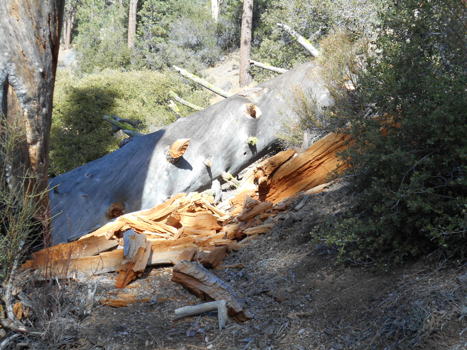
Largest downed tree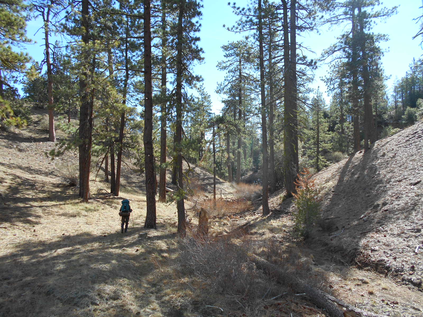
Entering Piedra Blanca Creek drainage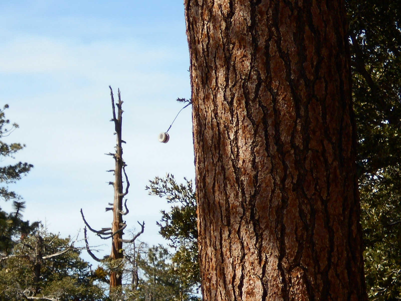
Isolator - Cold Spring Trail Survey - 02-12-2015 - by Chip
Link: Cold Spring Trail Date: 02-12-2015 Surveyor Name: Chip Trail description: Hiked the northern trail starting from the Cold Spring Saddle Trailhead along East Camino Cielo to the Blue Canyon Trail to Cottam camp, then back to Forbush camp for the night. Trails were in great shape. Roads: East Camino Cielo Rd is closed at Divide peak.Water: Bulkley Spring is bone dry. There are several clear pools around Forbush Camp. The creek is flowing at Cottam Camp.Hazards: Poison Oak is THICK. It is budding in shaded areas, and in full bloom in sunny areas. TICKS! From Forbush camp to Cottam camp I pulled no less than 30 ticks off me, some wood and some TINY deer ticks.ÂOverall great tripMode of transport: Hike Trail condition: Good shape and easy to follow - Arroyo Burro Trail Survey - 02-10-2015 - by Los Padres Forest Association
Link: Arroyo Burro Trail Date: 02-10-2015 Surveyor Name: Los Padres Forest Association Trail description: After hearing a report from an equestrian that the trail was blocked by a fallen oak tree blocked and impassable, the LPFA organized a volunteer trail crew to remove the trail obstacle. Â A few hours later, the tree was removed and the trail is now passable once more. Â Nice work....... Mode of transport: Array Trail condition: Good shape and easy to follow Images: 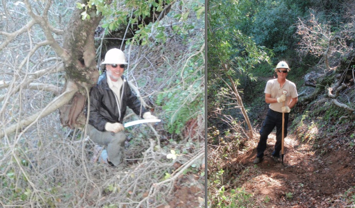
Before and After - Snyder Trail Survey - 02-08-2015 - by FP
Link: Snyder Trail Date: 02-08-2015 Surveyor Name: FP Trail description: This trail is very popular with mountain bikers on weekends. For that reason, it's not that enjoyable as a hiking trail. There are better options if you want to hike from Camino Cielo to Paradise Rd. The Fremont trail and the Arroyo Burro Trail are much nicer and with no bikers. Mode of transport: Hike Trail condition: Good shape and easy to follow - Santa Cruz Trail Survey - 02-06-2015 - by Curt Cragg
Link: Santa Cruz Trail Date: 02-06-2015 Surveyor Name: Curt Cragg Trail description: Cleared two pine trees as reported in earlier trail surveys and shown in photos. Â Check out trail to Little Pine Spring Camp for possible future trail project to clear brush and reroute current work around trail back to original route Mode of transport: Hike Trail condition: Needs some work Condition details: Santa Cruz Trail just before Little Pine Spring Junction Images: 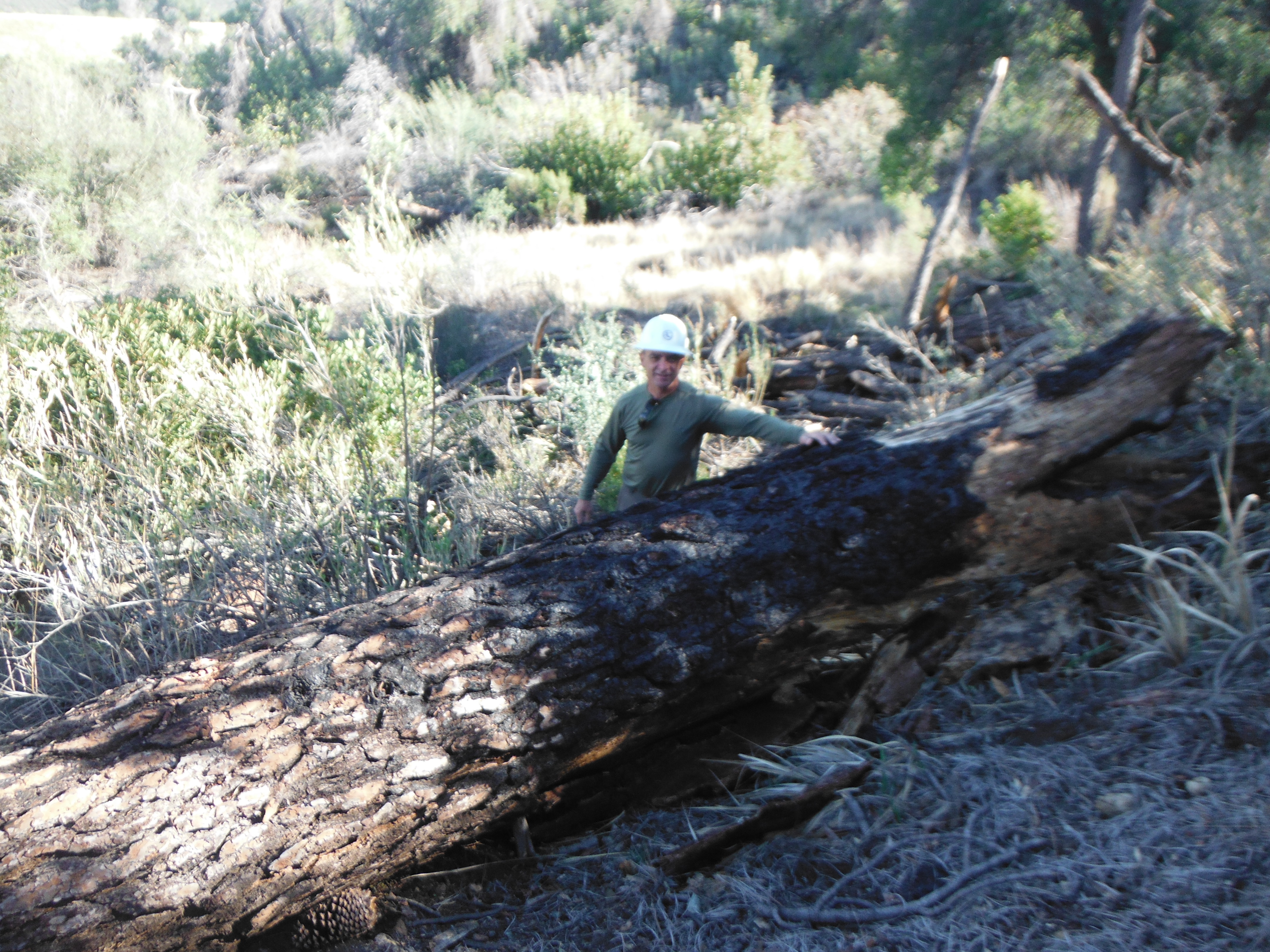
Large pine fall on trail as previously reported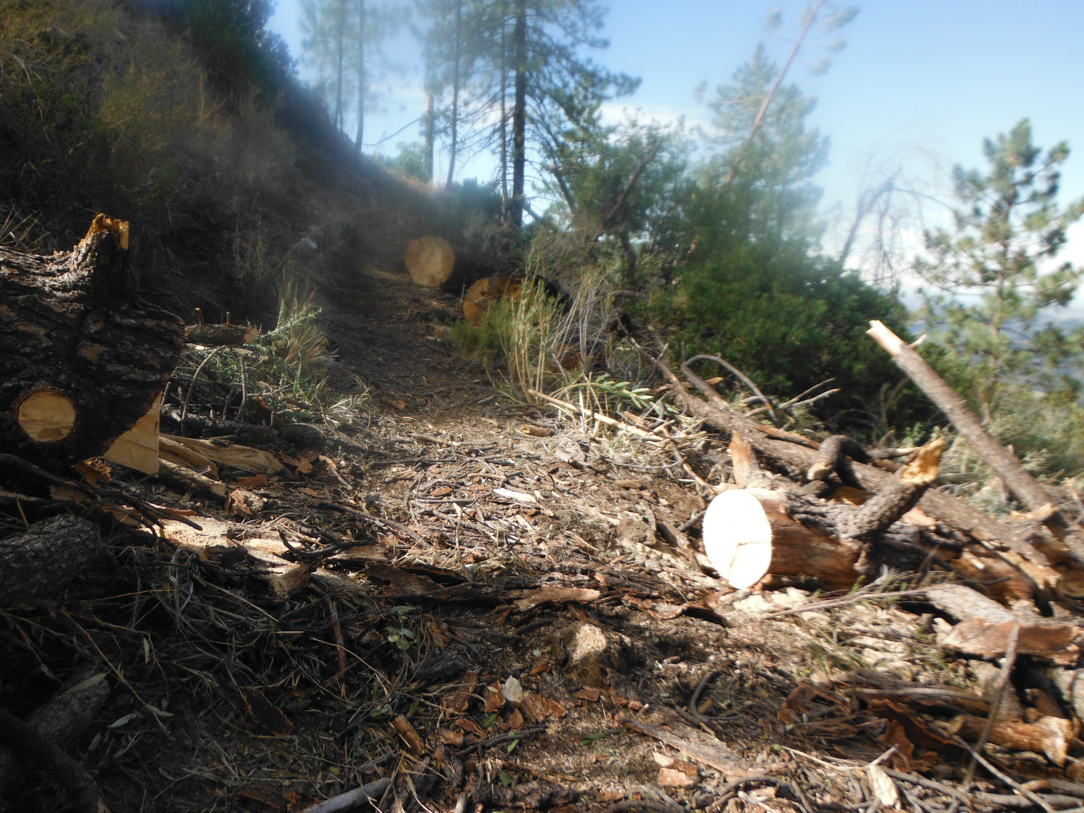
Trees and tree debris cleared from trail.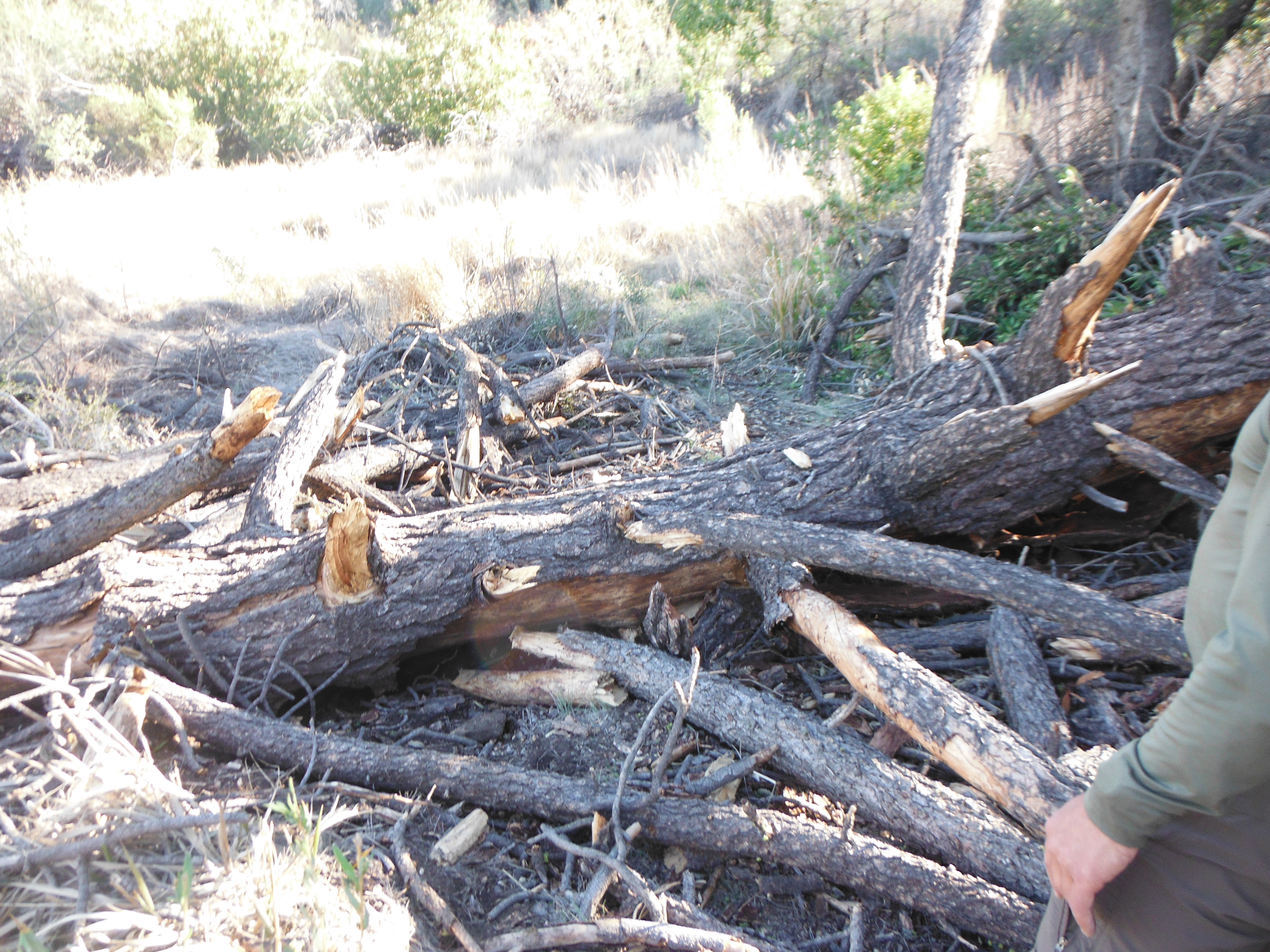
Second pine fall and debris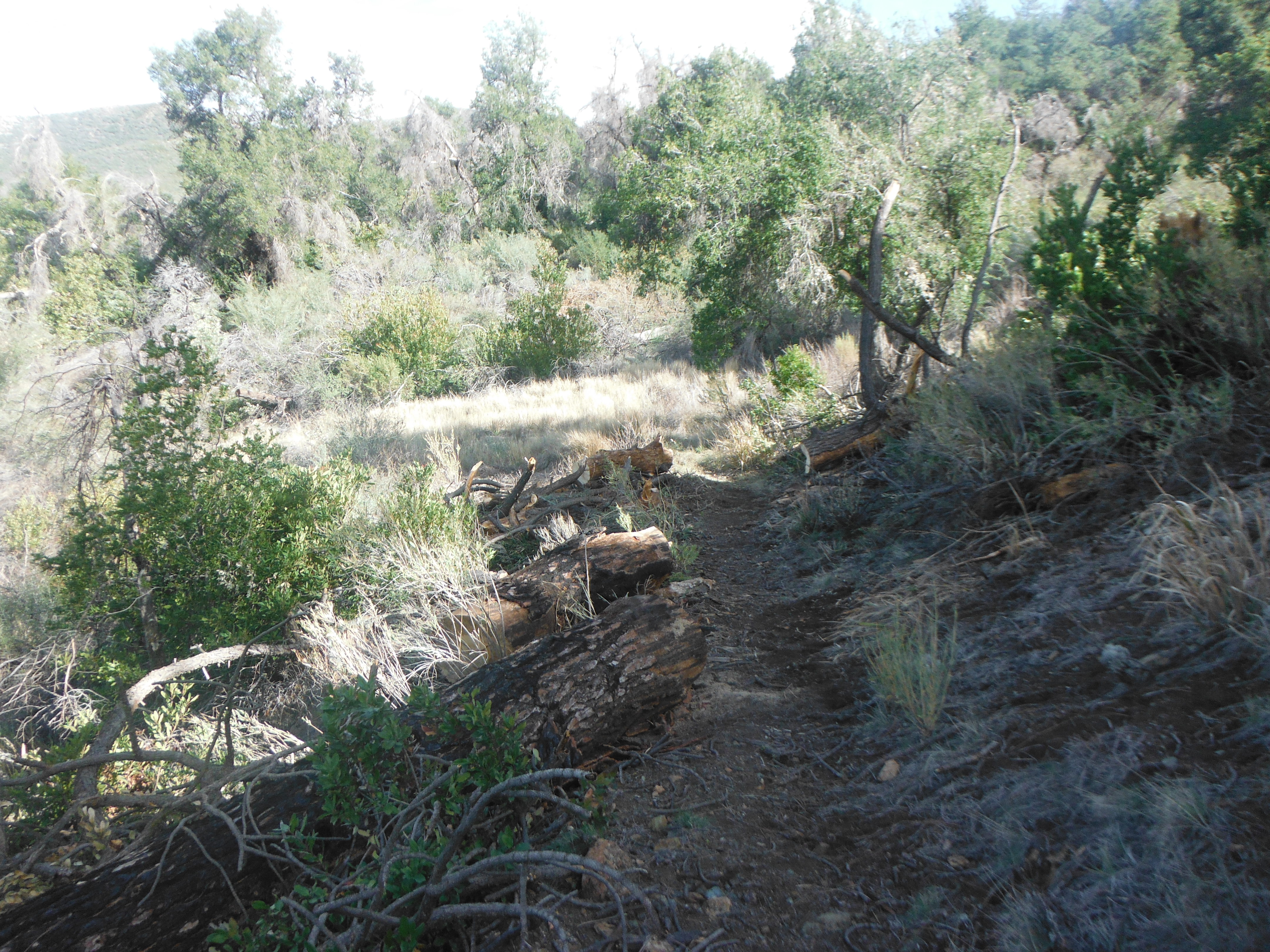
Clear sailing for hikers, bikers and pack stock in this area - Cold Spring Trail - North Survey - 02-03-2015 - by Los Padres Forest Association
Link: Cold Spring Trail - North Date: 02-03-2015 Surveyor Name: Los Padres Forest Association Trail description: About half a mile down the north side of the Cold Spring Trail off of Camino Cielo is an old spring called the Bulkley Spring.  Bulkley is not perennial and tends to flow only when we're coming off a wet season.  A few of the Volunteer Wilderness Rangers have unofficially adopted this stretch of trail and over the past few years have been keeping an eye on good old Bulkley.  Unfortunately the spring box has taken a hit at the hands of Mother Nature and Father Time and was in dire need of some help.Led by Ranger Rik, a VWR project was organized to rebuild the lid to the old spring box.  After gathering the remains of the old one, a new lid was fashioned and installed over the spring box.  Great work and a perfect fit.In the words of Ranger Rik:"I really didn't think there was much urgency .....it's been dry since the start of the last drought.  Then I thought of the movie  "Field Of Dreams"....."Build it and (it) will come."  Here's hoping the rain follows."Mode of transport: Array Trail condition: Good shape and easy to follow Images: 
The old cover, or what was left of it.
New cover.
New cover in place. - Cold Spring Trail - North Survey - 02-01-2015 - by Los Padres Forest Association
Link: Cold Spring Trail - North Date: 02-01-2015 Surveyor Name: Los Padres Forest Association Trail description: Downed trees at following coordinates: N34.5268012,W119.6276674
N34.5220387,W119.6271746
N34.5204971,W119.6312852
N34.5198205,W119.6308657
N34.5192776,W119.6309106
N34.5179193,W119.6319208
N34.5142417,W119.6314706
N34.5126986,W119.6295808Mode of transport: Array Trail condition: Needs some work - Manzana Trail East (Upper) Survey - 02-01-2015 - by Los Padres Forest Association
Link: Manzana Trail East (Upper) Date: 02-01-2015 Surveyor Name: Los Padres Forest Association Trail description: VWR Mike Smith and crew headed out to Happy Hunting Ground with his goats to remove a 40" downed tree that was blocking the trail. Â The photos tell the story. Â Great work Mike and crew! Mode of transport: Array Trail condition: Good shape and easy to follow Images: 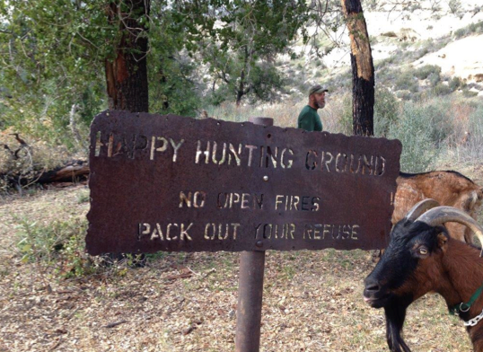
The Happy Hunting Ground Sign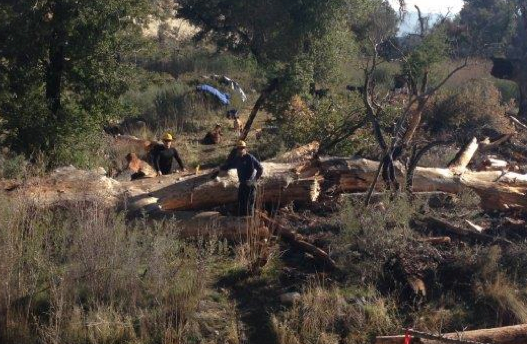
The downed tree, ready for 4hours of cutting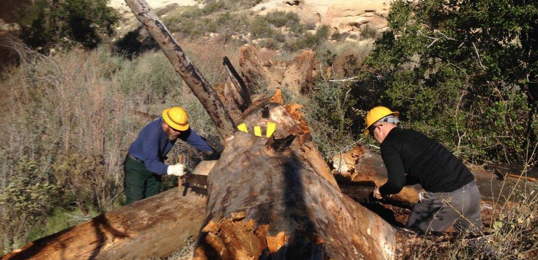
Using a 6ft crosscut saw on the largest cut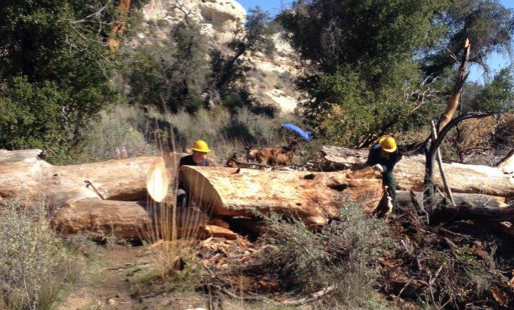
Major cuts done, time to roll the logs off the trail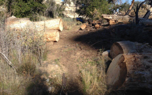
BOOM! Trail all clear....... - Pine Ridge Trail Survey - 01-30-2015 - by Los Padres Forest Association
Link: Pine Ridge Trail Date: 01-30-2015 Surveyor Name: Los Padres Forest Association Trail description: The Pine Ridge Trail was reopened January 30, 2015. There remains a serious washout about 2miles up the trail from Big Sur Station. Â Please be careful when hiking the trail and if you are uncomfortable, turn around and live to hike another day. Â Sykes can still be accessed from the Terrace Creek Trail which bypasses the dangerous slide.Check here for more photos of the slide:https://www.facebook.com/media/set/?set=a.884817044873450.1073741827.884800874875067&type=1-------THE WESTERN PINE RIDGE TRAIL IS CLOSED AT THE MOMENT DUE TO LANDSLIDES AND UNSAFE TRAIL CONDITIONS. Â ACCESS TO SYKES CAN BE ALONG THE TERRACE CREEK TRAIL OR THE EASTERN PINE RIDGE TRAIL.Mode of transport: Array Trail condition: Needs some work Images: 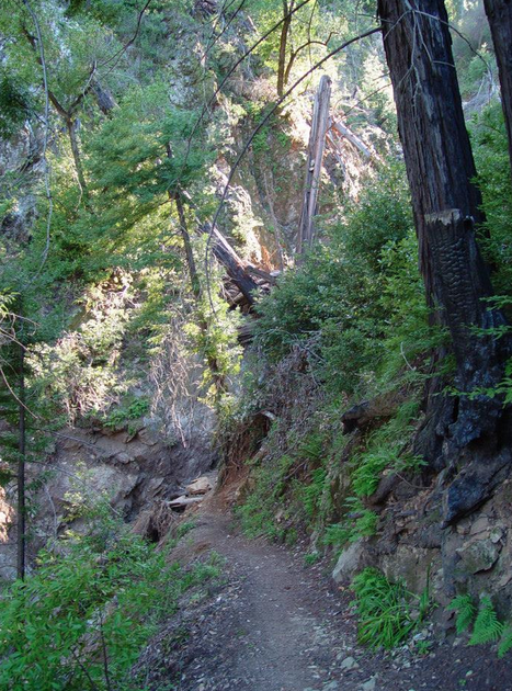
Slide section ahead showing trail - slide - trail, photo Tim Bills - Tequepis Trail Survey - 01-30-2015 - by Mark Cooper
Link: Tequepis Trail Date: 01-30-2015 Surveyor Name: Mark Cooper Trail description: The trail is in beautiful condition. Â Thanks to the volunteers who made it happen! Mode of transport: Hike Trail condition: Good shape and easy to follow - Piedra Blanca Trail Survey - 01-23-2015 - by Los Padres Forest Association
Link: Piedra Blanca Trail Date: 01-23-2015 Surveyor Name: Los Padres Forest Association Trail description: A VWR Crew cleared all the downed trees from the Piedra Blanca Trailhead up to Pine Mountain Lodge. Mode of transport: Array Trail condition: Needs some work - Chorro Grande Trail Survey - 01-22-2015 - by Ed Diaz
Link: Chorro Grande Trail Date: 01-22-2015 Surveyor Name: Ed Diaz Trail description: Small creek bed forming on trail 1/2 mile in. Needs water features to divert. Oak Camp tidy and clean but no water. Small but decent water 1/2 mile north of camp on secondary trail.
Mode of transport: Hike Trail condition: Needs some work Images: 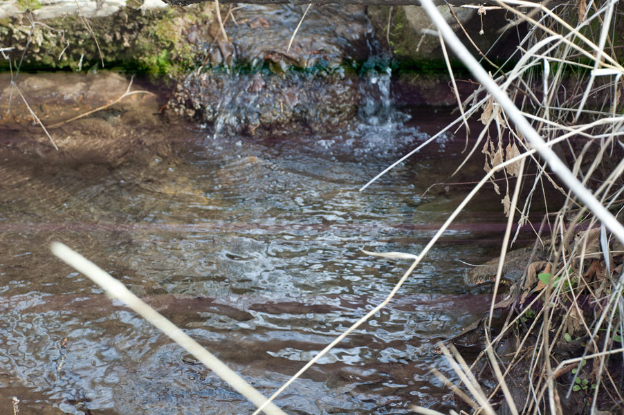
Good water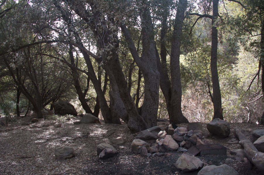
Oak Camp - Cold Spring Trail - North Survey - 01-22-2015 - by Los Padres Forest Association
Link: Cold Spring Trail - North Date: 01-22-2015 Surveyor Name: Los Padres Forest Association Trail description: LPFA headed out to the Cold Spring slide to scope it for a future work project. Â Someone has installed a very useful rope across the slide. Â It helps but is not a permanent solution. Â We will be organizing a project to fix the slide in May. Mode of transport: Array Trail condition: Needs some work Images: 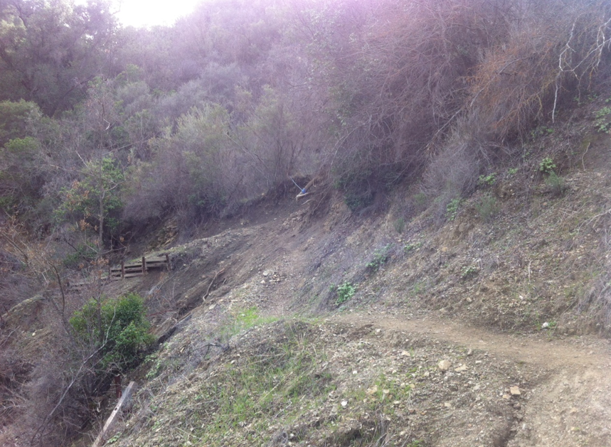
View from below of the slide section. Trail - No Trail - Trail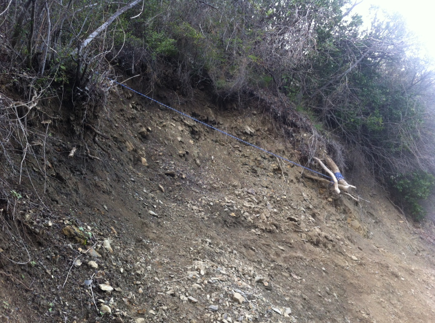
Rope across the slide section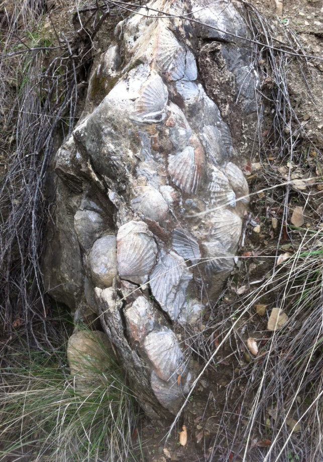
Cool stuff around this area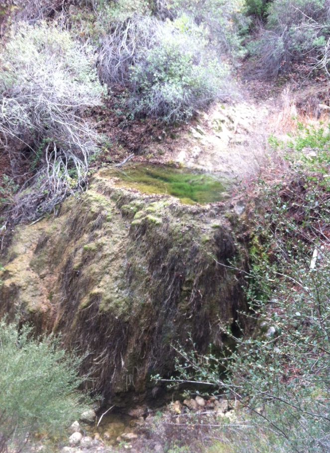
Emerald Pool looking nice! - Gibraltar Trail Survey - 01-22-2015 - by Los Padres Forest Association
Link: Gibraltar Trail Date: 01-22-2015 Surveyor Name: Los Padres Forest Association Trail description: There is a large downed oak about halfway between the mine and the dam keepers house. Â Also a series of slides as you get closer to the Cold Spring Trail (see photos). Â Gibraltar is very very low. Â The trail is ridable for all sections other than the few slides and the downed tree. Â Great trail! Mode of transport: Bicycle Trail condition: Needs some work Images: 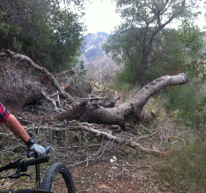
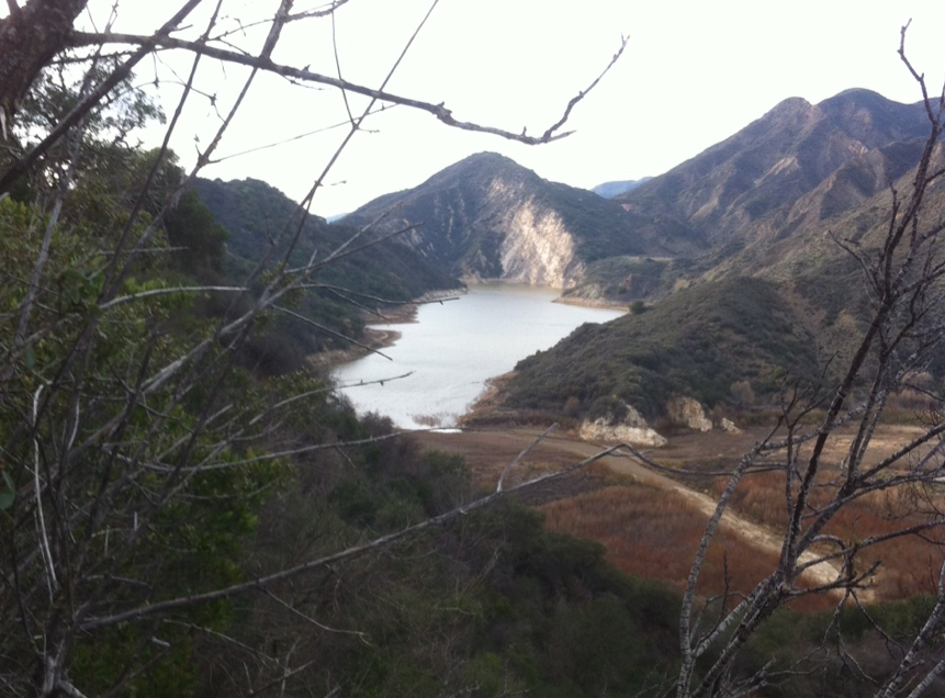
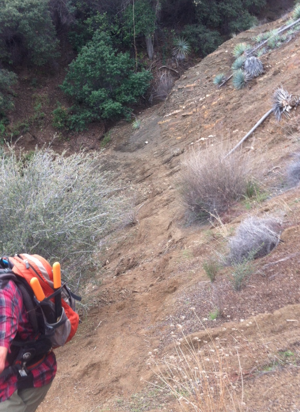
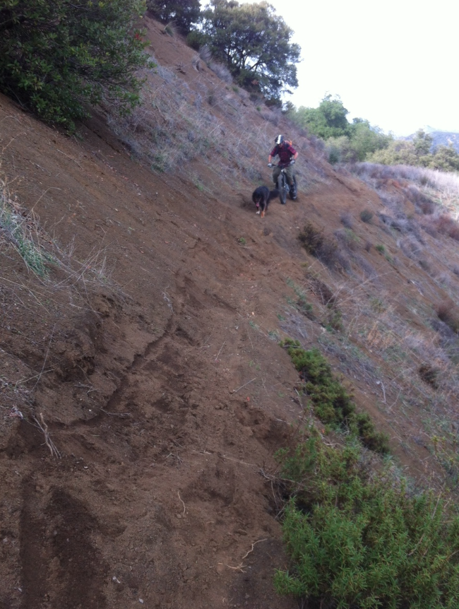
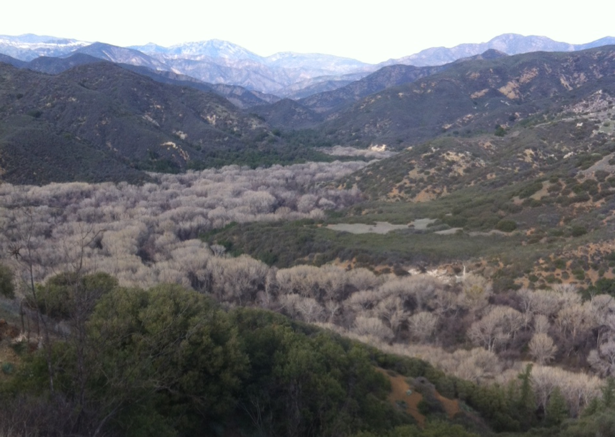
Mono Jungle View - Munch Canyon Trail Survey - 01-21-2015 - by M. Jones
Link: Munch Canyon Trail Date: 01-21-2015 Surveyor Name: M. Jones Trail description: A seemingly little used trail in good condition, a nice scenic hike up to the East Pinery Road or up to Figueroa Mountain Road. Other options include down Davy Brown Canyon with connector trails to west to the Willow Spring Figueroa Trail or on the way up the east and White Rock Canyon,
On the day of the hike it was sunny and 61. Munch creek had flowing water about a mile from Sunset Valley
Mode of transport: Hike Trail condition: Good shape and easy to follow Images: 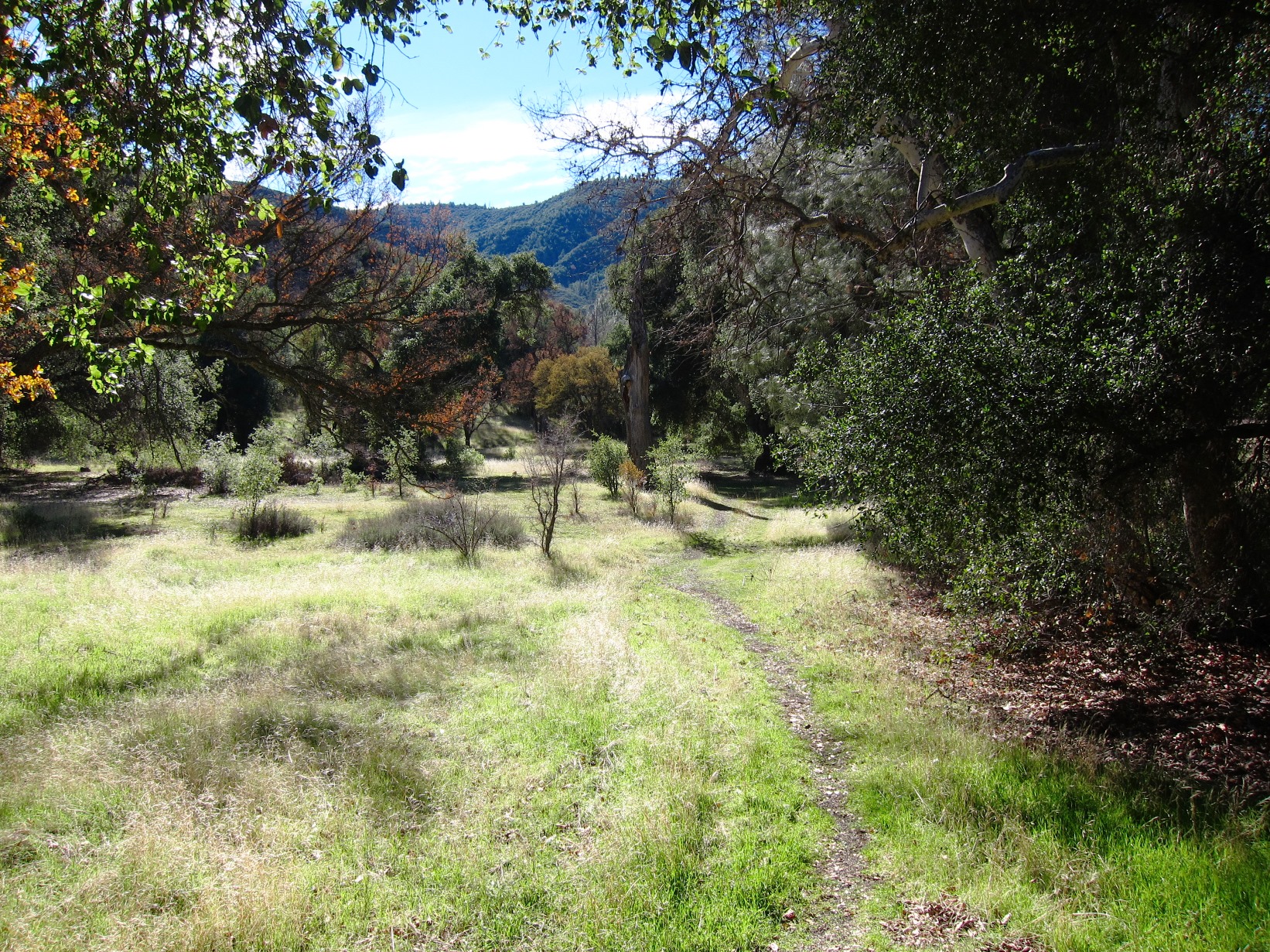
Trail head at Sunset Valley Road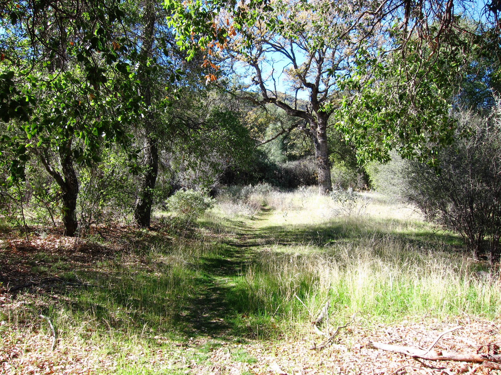
Canyon bottom near trail head
Trail up canyon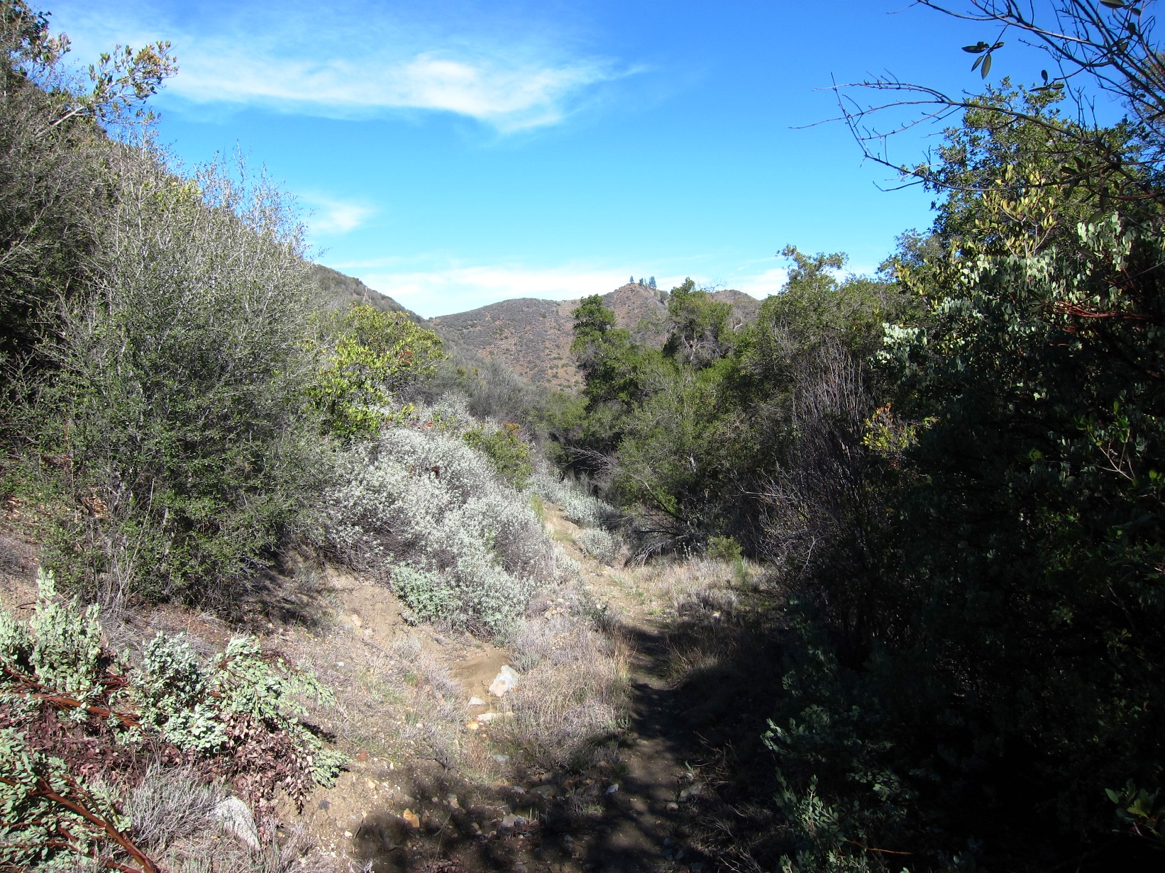
Trail up canyon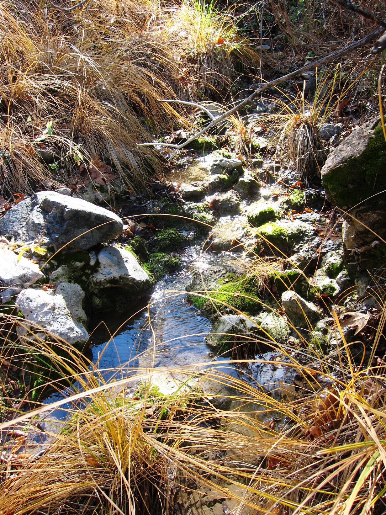
Munch Canyon Creek flowing about a mile from Sunset Valley on 011915 - Indian Trail Survey - 01-19-2015 - by Los Padres Forest Association
Link: Indian Trail Date: 01-19-2015 Surveyor Name: Los Padres Forest Association Trail description: This trail follows the creek until you get to Brook shire camp. Nice trail that meanders back and forth across the creek, we biked down from Miranda Pine area. We found small amounts of water flowing in creek, overall the trail is in great shape. The grass was green which is always a nice sight to see. Mode of transport: Bicycle Trail condition: Needs some work Condition details: Trail is followable but could use a small amount of work in places - Santa Cruz Trail Survey - 01-18-2015 - by FP
Link: Santa Cruz Trail Date: 01-18-2015 Surveyor Name: FP Trail description: Beautiful views from this trail, and fantastic ones from the summit of Little Pine Mtn. I hiked it from Upper Oso to Little Pine Mtn. A word of caution: this trail can be extremely hot during the summer. It's best done in the winter. The views are much clearer in the winter, too. It's about a 12-14 mile round trip hike (depending on how much you explore while at the top (Happy Hollow Camp, front views, back views, etc.) so start early and give yourself enough daylight. Mode of transport: Hike Trail condition: Good shape and easy to follow Images: 
approaching Alexander Saddle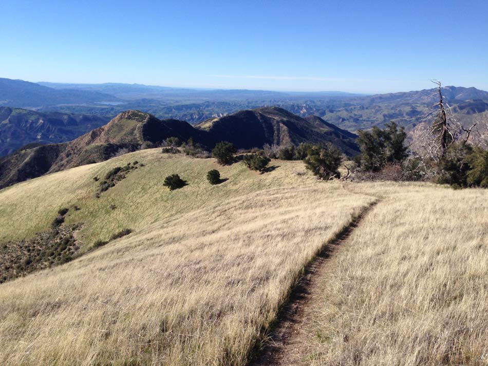
Descending from Little Pine Mtn. summit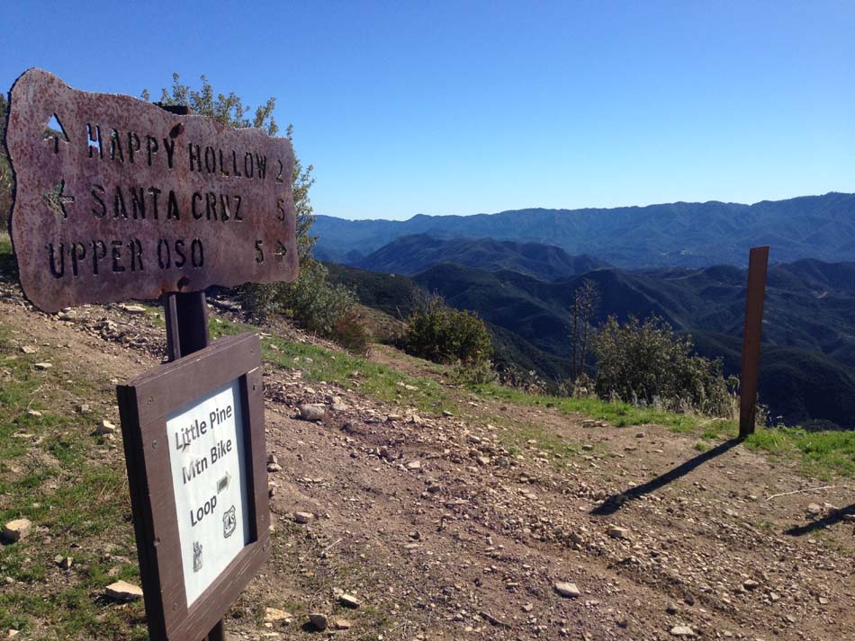
Alexander Saddle trail marker
- Black Cone Trail Survey - 01-15-2015 - by Anonymous Surveyor
Link: Black Cone Trail Date: 01-15-2015 Surveyor Name: Anonymous Surveyor Mode of transport: Hike Trail condition: Non existent Condition details: lots of dead falls,trail needs to be graded very over grown - Potrero John Trail Survey - 01-15-2015 - by Ed Diaz
Link: Potrero John Trail Date: 01-15-2015 Surveyor Name: Ed Diaz Trail description: Good water N of camp. Trail gets very brushy and thick about .5 miles N of camp Mode of transport: Hike Trail condition: Good shape and easy to follow Images: 
.50 mile north of PJ Camp - Turner Creek Trail Survey - 01-13-2015 - by troop 97 bsa
Link: Turner Creek Trail Date: 01-13-2015 Surveyor Name: troop 97 bsa Trail description: Â a real fine excelent overnighter would be to car pool it to White Rock Gun Club then hike up to Turner Creek early summer when its flowing, Â then come out down Devil's Peak and down hill to Botcher's Gap. Â Car pool home..... Mode of transport: Hike Trail condition: Good shape and easy to follow - Rose Lion Trail Survey - 01-12-2015 - by Los Padres Forest Association
Link: Rose Lion Trail Date: 01-12-2015 Surveyor Name: Los Padres Forest Association Trail description: A VWR project helped brush the Lion Connector Trail from Rose Valley towards the Lion Canyon Trail. Â The trail is in much better shape now than it was! Â Thanks to the VWR program for keeping the trails open. Mode of transport: Array Trail condition: Good shape and easy to follow Images: 
Photo Bardley of Ojai - Blue Canyon Connector Trail Survey - 01-11-2015 - by Los Padres Forest Association
Link: Blue Canyon Connector Trail Date: 01-11-2015 Surveyor Name: Los Padres Forest Association Trail description: Downed tree here: N34.5110589,W119.6027835Mode of transport: Hike Trail condition: Needs some work - Murrieta Canyon rd Survey - 01-10-2015 - by FP
Link: Murrieta Canyon rd Date: 01-10-2015 Surveyor Name: FP Trail description: I hiked this trail from the gate at Camuesa Rd. to Jameson Lake. It's not really a "trail" but a dirt road. The first half is pretty flat, with plenty of nice Oaks alongside the road. The second half starts climbing up towards a spot where you can see the lake from above. It's about 3 miles each way, both relatively easy. Nobody there. A long, bumpy ride to get there, though! Mode of transport: Hike Trail condition: Good shape and easy to follow Images: 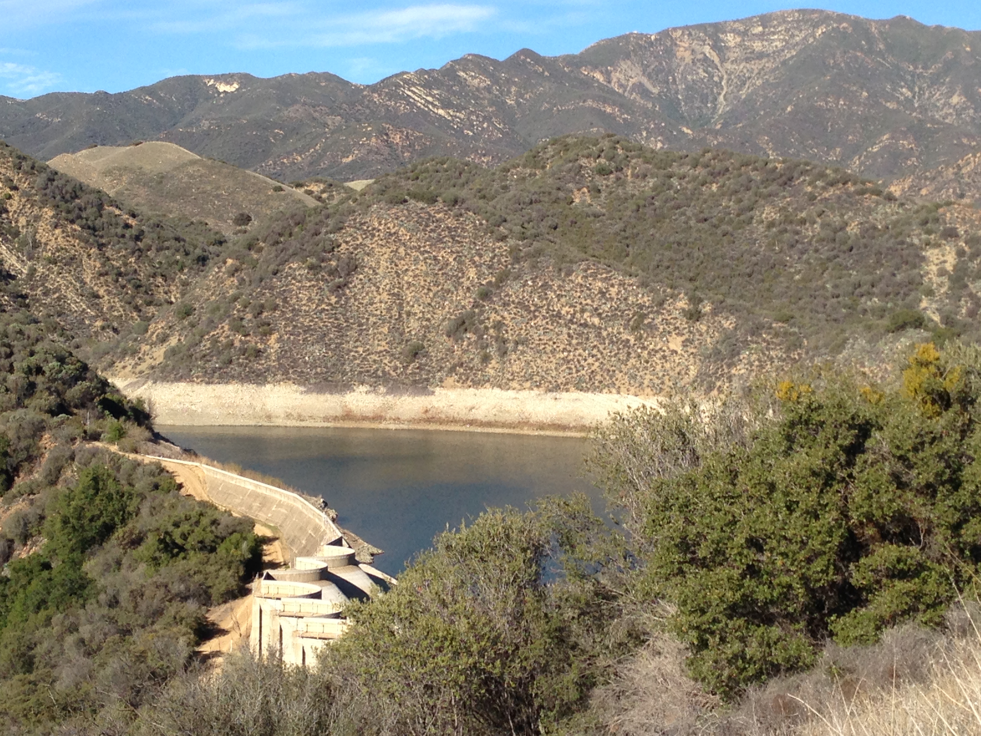
- Arroyo Burro Trail Survey - 01-10-2015 - by FP
Link: Arroyo Burro Trail Date: 01-10-2015 Surveyor Name: FP Trail description: Hiked the back side of this trail from Camino Cielo (where you need to negotiate the target shooters before actually getting on the trail) to Rancho Oso, along Paradise Road. Trail is very shaded and beautiful, although with limited long-distance views. Poison Oak can be a problem during certain times of year. Make sure you have a bottle of TECNU waiting for you at home when you return. Trail is about 3-4 miles each way. You can leave one car next to the closed gate along Paradise Road, overlooking Rancho Oso to make it a one-way trip. Also stop by the Rancho Oso country store for a nice cold drink at the end of your hike. Mode of transport: Hike Trail condition: Good shape and easy to follow - Camuesa Connector Trail Survey - 01-10-2015 - by FP
Link: Camuesa Connector Trail Date: 01-10-2015 Surveyor Name: FP Trail description: This is a nice, little-used trail. I pushed my bike up this trail from Paradise Road to the Romero Camuesa Road, from there I biked downhill all the way to Upper Oso campground and back to the Camuesa Connector trailhead, where I had left my car. But in order to save yourself pushing your bike uphill, it's best to leave the bike at Upper Oso campground, and drive to the Camuesa Connector trailhead, along Paradise Road. Then hike the Camuesa Connector trail to the road, and walk along the road to Upper Oso, where your bike will be waiting. From there, it is an easy, mostly downhill bike ride back to the car. Mode of transport: Hike Trail condition: Good shape and easy to follow - Alejandro Trail Survey - 01-10-2015 - by SteveM
Link: Alejandro Trail Date: 01-10-2015 Surveyor Name: SteveM Trail description: Three of us hiked from Colson Canyon TH to Alejandro Camp. Â Although little used, the trail is easy to follow. Â Brush is beginning to encroach and there are at least two tree falls that required small detours. Â Shortly beyond the campground, the trail becomes more difficult to follow and is overgrown with poison oak. Â We decided to turn around rather than continue through to La Brea Canyon Rd. Â There is running water here and there in Alejandro Creek, but only stagnant water in small pools at the campground. Mode of transport: Hike Trail condition: Needs some work Condition details: brush starting to encroach, tree falls - Manzana Trail West (Lower) Survey - 01-10-2015 - by Los Padres Forest Association
Link: Manzana Trail West (Lower) Date: 01-10-2015 Surveyor Name: Los Padres Forest Association Trail description: VWR Mike Smith led a project to remove the downed tree at Potrero Camp. Â Using crosscut saws the tree was safely removed, see photos. Mode of transport: Array Trail condition: Good shape and easy to follow Images: 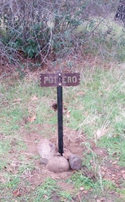
They also repositioned and fixed the Potrero Sign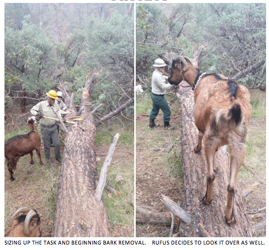
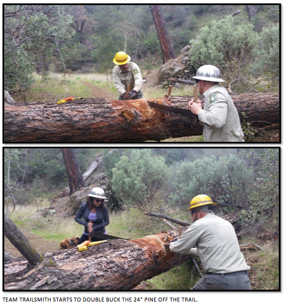
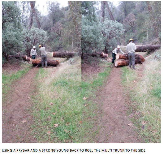
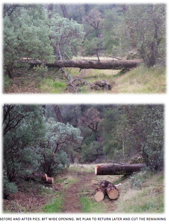
- Bear Basin Connector Trail Survey - 01-07-2015 - by matthew mcgurk
Link: Bear Basin Connector Trail Date: 01-07-2015 Surveyor Name: matthew mcgurk Trail description: Other than trees down with use trails being established this is a well clear trail with defined tread Mode of transport: Hike Trail condition: Good shape and easy to follow - Big Sur Trail Survey - 01-07-2015 - by matthew mcurk
Link: Big Sur Trail Date: 01-07-2015 Surveyor Name: matthew mcurk Trail description: This was an epic bushwhack other than  first half mile ended up bushwhacking to north fork junction then up the creek to cienaga could not find evidence that the trail continued on my hiking partner and I bush whacked on a bearing through dense yucatan style brush to get back up the canyon although we both enjoyed it not for anyone but the most seasoned los padres hiker. Mode of transport: Hike Trail condition: Non existent Condition details: epic bushwack - Blue Canyon Trail Survey - 01-07-2015 - by FP
Link: Blue Canyon Trail Date: 01-07-2015 Surveyor Name: FP Trail description: Trail is in good condition. Beautiful old trees along the creek with water running right now. But ticks are a BIG problem. I pulled out 8 from various spots on my body (some of which I will let you guess...). This trail might be a better option when the soil is not damp. Mode of transport: Hike Trail condition: Good shape and easy to follow - Lion Canyon Trail Survey - 01-06-2015 - by Los Padres Forest Association
Link: Lion Canyon Trail Date: 01-06-2015 Surveyor Name: Los Padres Forest Association Trail description: The Ojai Ranger District organized a brushing project along the Lion Canyon Trail. Â They cleared the trail up towards West Fork camp. Mode of transport: Array Trail condition: Good shape and easy to follow Images: 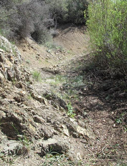
Photo Ranger Heidi, trail looking good - Cold Spring Trail - West Fork Survey - 01-06-2015 - by Los Padres Forest Association
Link: Cold Spring Trail - West Fork Date: 01-06-2015 Surveyor Name: Los Padres Forest Association Trail description: As part of State Trails Day, a variety of groups helped support a trail project along the West Fork Cold Spring Trail above Montecito. Â See photos here from the Multiuse Trails Coalition: https://picasaweb.google.com/109897793293855676170/StateTrailsDay2015WestForkColdSpring?feat=directlinkMode of transport: Array Trail condition: Good shape and easy to follow - Dutra Trail Survey - 01-06-2015 - by Carter Wilson
Link: Dutra Trail Date: 01-06-2015 Surveyor Name: Carter Wilson Trail description: Lots of bush wacking and scraped shins. From the Dutra Flat side follow the beaten grass instead of the dirt trail. The dirt trail leads to Spruce creek trail. Once on Dutra Trail watched for down trees as the trail can be hard to follow. Mode of transport: Hike Trail condition: Hard to follow Condition details: From the Dutra Flat the sign directs you around a tree then back onto Spruce Creek Trail. - Fishbowls Trail Survey - 01-06-2015 - by Anonymous Surveyor
Link: Fishbowls Trail Date: 01-06-2015 Surveyor Name: Anonymous Surveyor Trail description: This loop (Fish Bowls to Cedar Creek) is a good overview of the Sespe Wilderness. Â It follows the Piru creek to it's headwaters (North facing drainage) then follows a ridge that divides the North and South drainage systems, then drops down into Cedar Creek on the North side of the range. Â Surprisingly big Cedars that look a lot like Redwoods in the stream valleys in both drainages. One can walk about a mile on the Forest road connecting both camps to complete the loop (approx 9 miles). Â Hard to find the "Fishbowls" from the camp.Mode of transport: Hike Trail condition: Needs some work Condition details: Hard to pick up trail in some areas where it crosses Piru Creek Images: 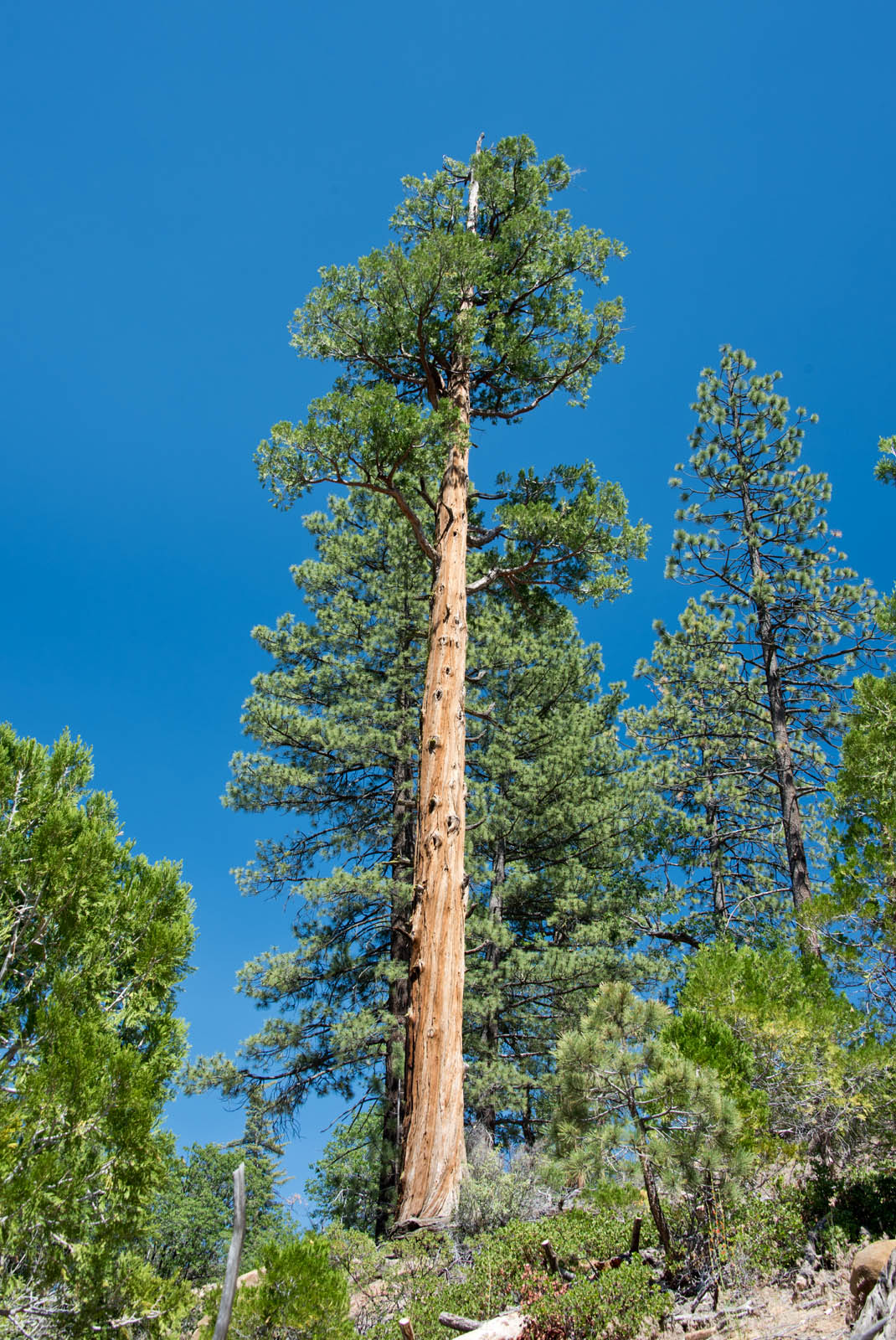
A stately Cedar near Fish Bowls camp.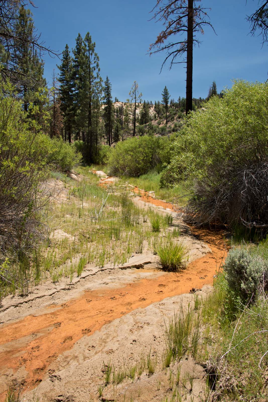
The Piru creek at a low flow point.
The switchbacks from the ridge down into Cedar Creek
Nice, stately Cedar
Very nice camp at Fishbowls - Lopez Canyon Trail Survey - 01-06-2015 - by Anonymous Surveyor
Link: Lopez Canyon Trail Date: 01-06-2015 Surveyor Name: Anonymous Surveyor Trail description: The trailmap above is deceptive. The actual parking area/trailhead is shared with the Big Falls trailhead. There is approximately a mile of easement access across private property (mainly camping sites and a couple shacks). Like other said driving to the lower trailhead involves about 12 significant creek crossings. 4WD not required, but high clearance is if you want to keep the inside of your car dry. Most of them are at least a foot deep, if not a few inches more, and you will have all 4 tires in the water at the same time. A Subaru could certainly make it across, but you might get wet.
Trail conditions get quickly overgrown. I was up there about 9 months ago (11/2014) and it was significantly more overgrown. Lots of PO.
But its dang cool.Mode of transport: Hike Trail condition: Needs some work Images: 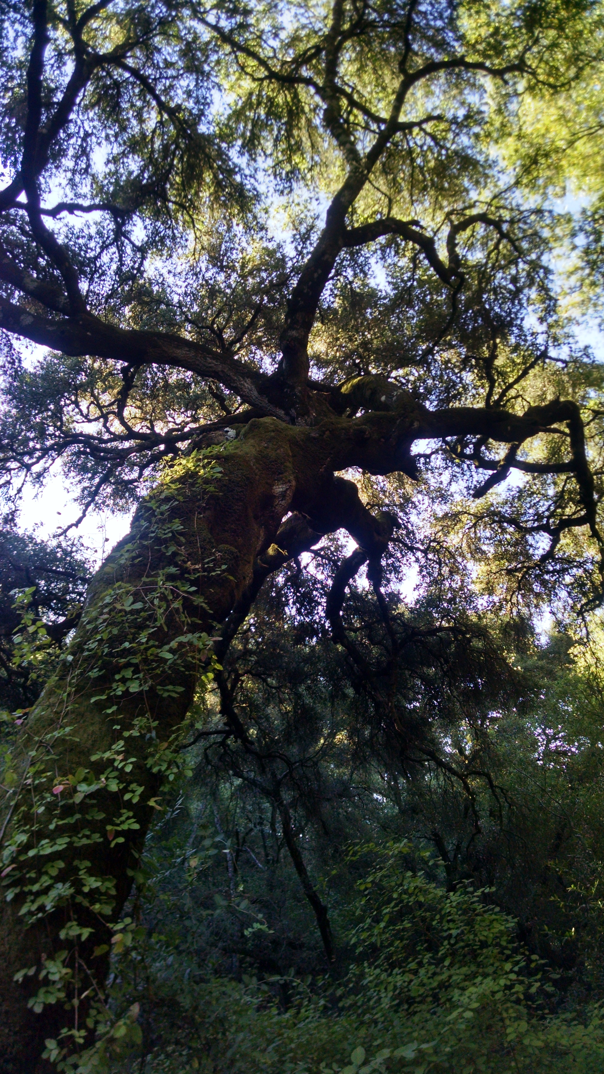
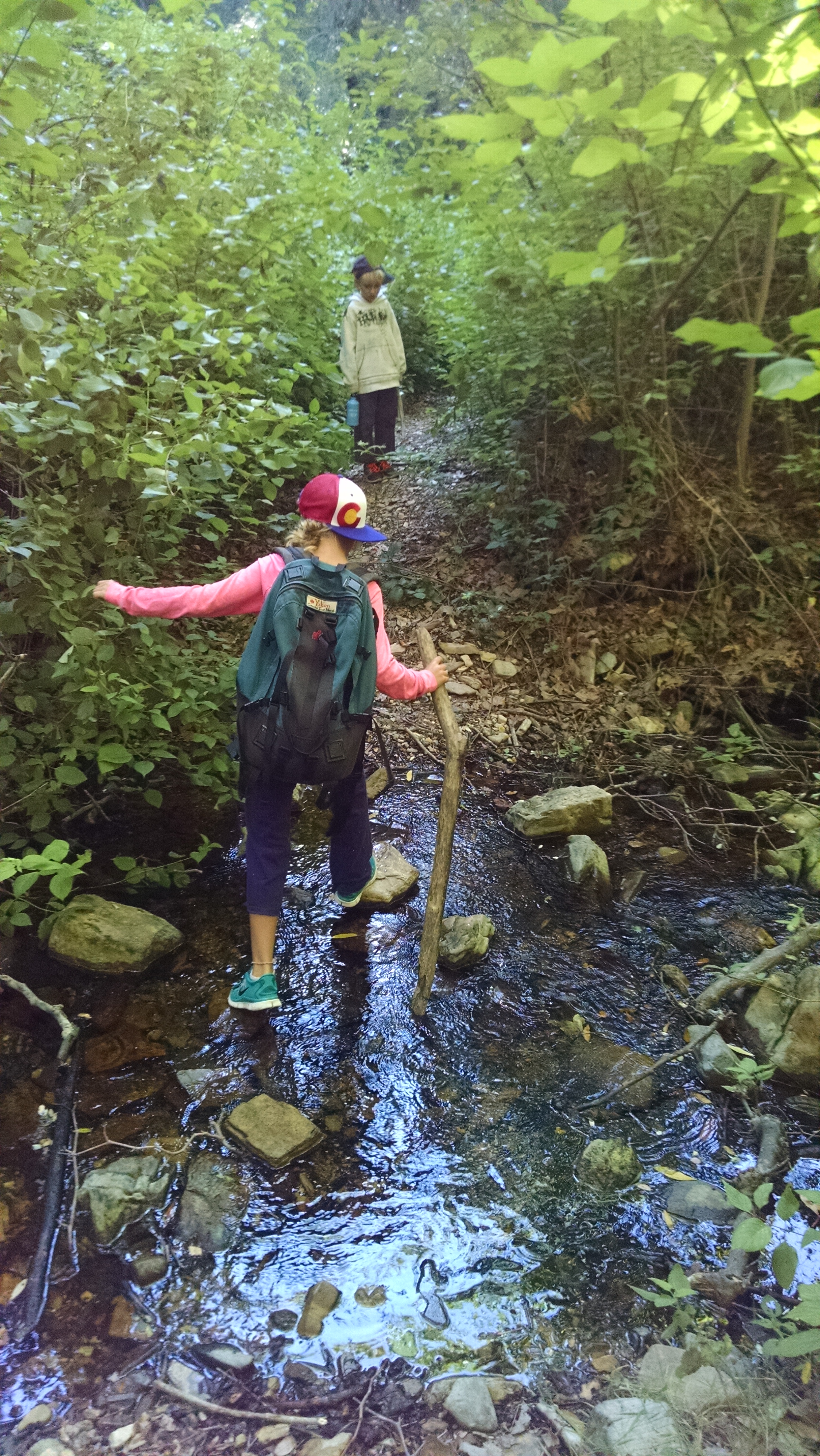
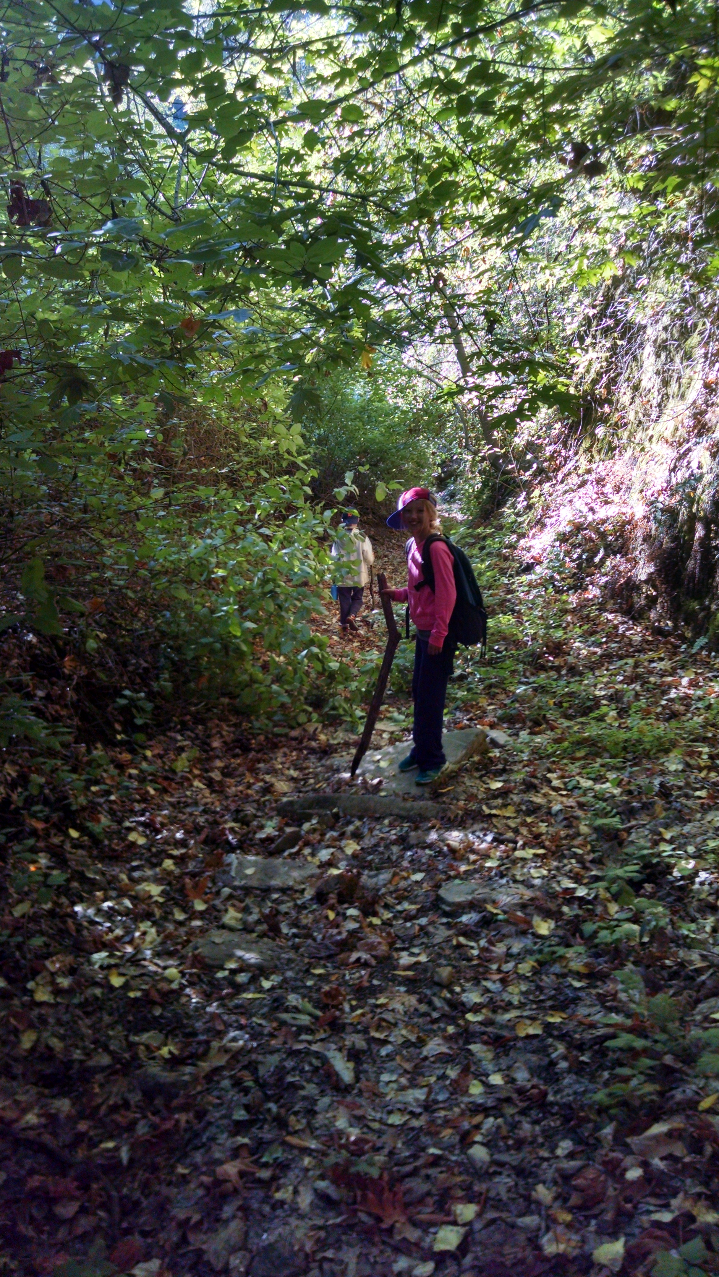
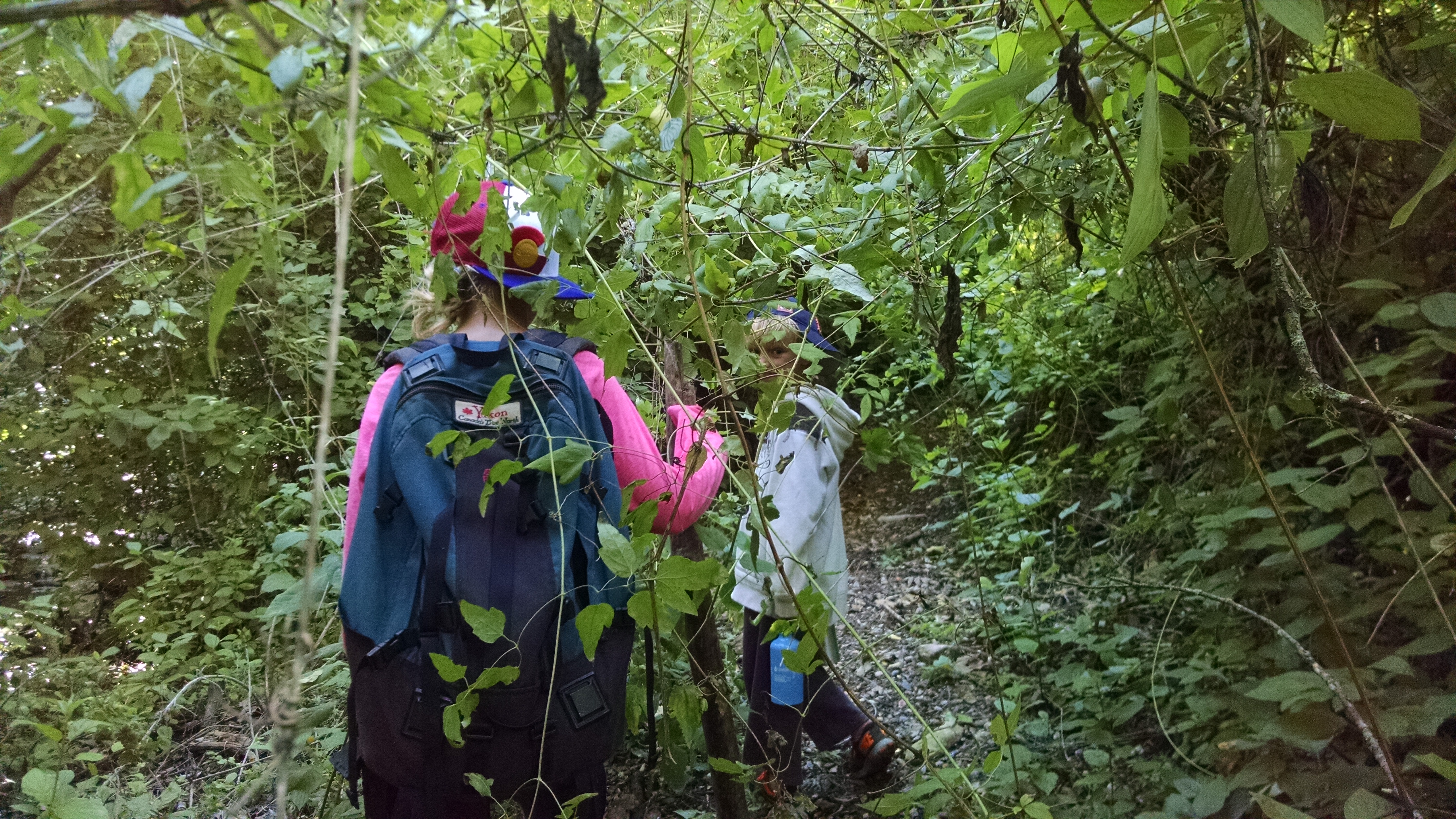
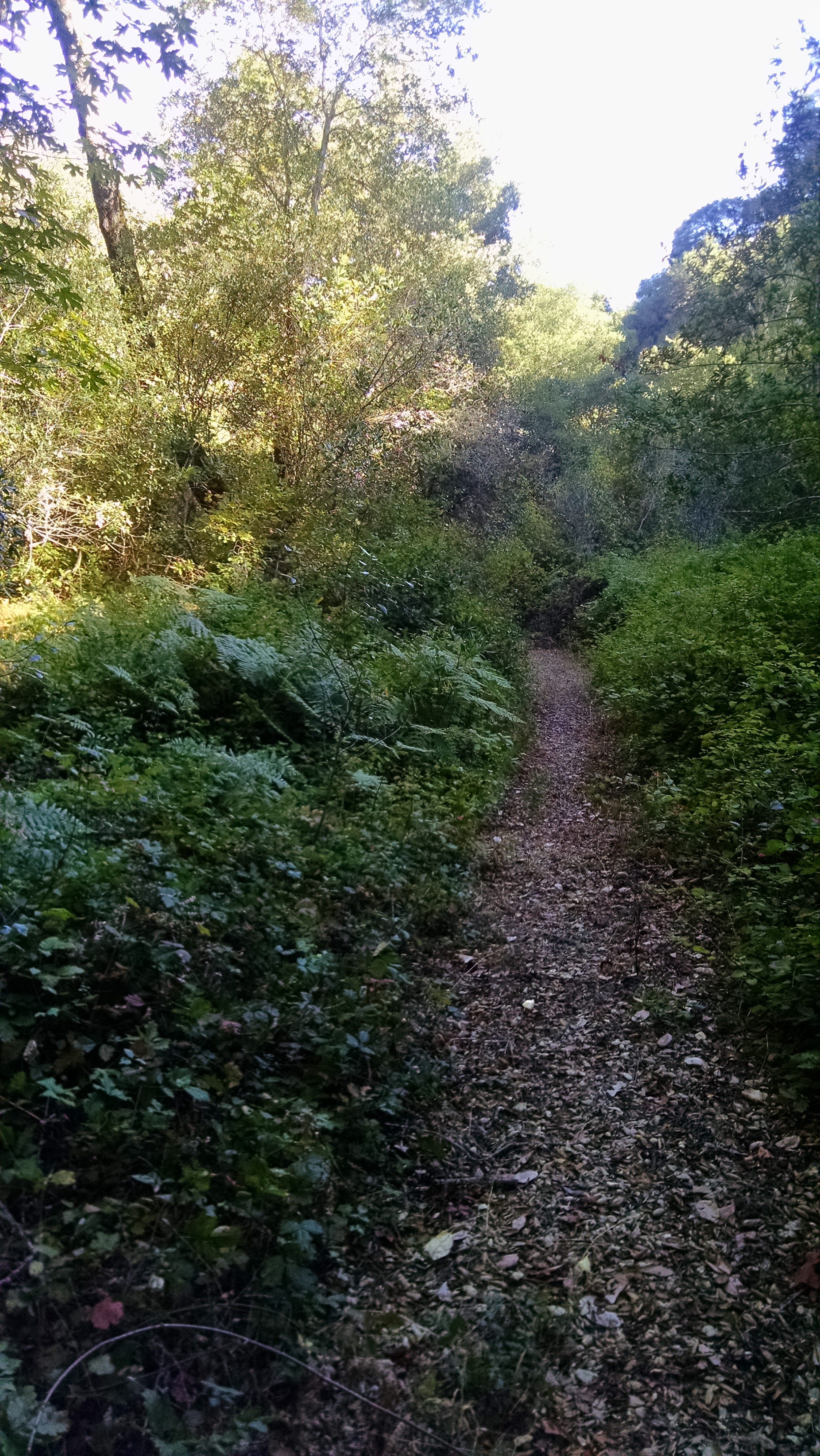
- Buckhorn Trail Survey - 01-05-2015 - by Los Padres Forest Association
Link: Buckhorn Trail Date: 01-05-2015 Surveyor Name: Los Padres Forest Association Trail description: Some photos from the anonymous report showing the size of some of the trees and brush along the Buckhorn Trail. Mode of transport: Bicycle Trail condition: Hard to follow Images: 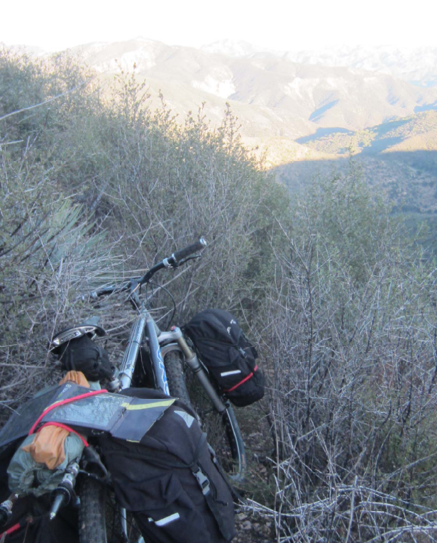
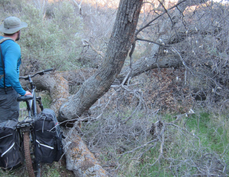
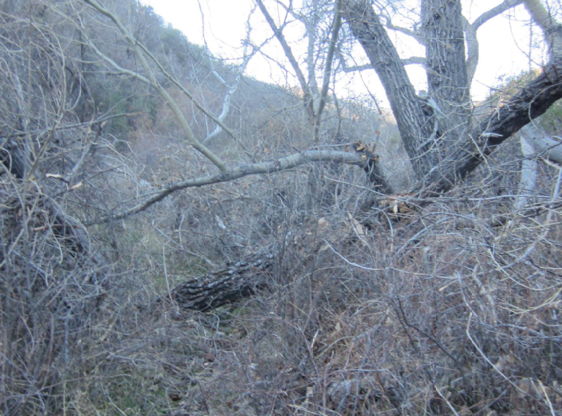
- Buckhorn Trail Survey - 01-04-2015 - by Anonymous Surveyor
Link: Buckhorn Trail Date: 01-04-2015 Surveyor Name: Anonymous Surveyor Trail description: Mountain biked down from buckhorn road to lower buckhorn camp. Trail is overgrown & very faint in some places.Lots of fallen trees, etc.Mode of transport: Bicycle Trail condition: Hard to follow Condition details: Very hard to follow in some points. Overgrown almost everywhere else - Aliso Loop Trail Survey - 01-04-2015 - by Doug
Link: Aliso Loop Trail Date: 01-04-2015 Surveyor Name: Doug Trail description:
All of this trail area was burnt during the White Fire in May of 2013. I rode the switch back section of this trail to Upper Oso and back. Did not take the canyon portion. While alot of the vegiation is gone to the fire, the trail is still in good condition.Mode of transport: Stock Trail condition: Good shape and easy to follow - Last Chance Trail Survey - 12-30-2014 - by Chad Larrieu
Link: Last Chance Trail Date: 12-30-2014 Surveyor Name: Chad Larrieu Trail description: Just spent four days, three nights camping at Jackson Hole, with two full days to explore the route North. We marked trails with pink flagging tape. I have been in the area before and never made it far beyond Jackson Hole Camp. Water flows there periodically, so the campsite was nice after the recent rains. There are foxes and rintailed cats in the area, so we hung our food.
The trail is pretty rough beyond Jackson Hole.We were able to make it to a large rockslide/boulder field with a lone signpost (minus the sign), about 1.5 miles from the campsite. From there, we lost the trail.Mode of transport: Hike Trail condition: Hard to follow Condition details: Discernible trail from Cross Camp to Jackson Hole, impassible beyond 1.5 mi after Jackson Hole - Pine Ridge Trail Survey - 12-29-2014 - by Los Padres Forest Association
Link: Pine Ridge Trail Date: 12-29-2014 Surveyor Name: Los Padres Forest Association Trail description: The Pine Ridge Trail is closed at the moment due to landslides and damaged trails. Â There is no date set for when it might reopen. Â Most likely not until Summer 2015. The parking lot is closed as well.Mode of transport: Array Trail condition: Hard to follow Images: 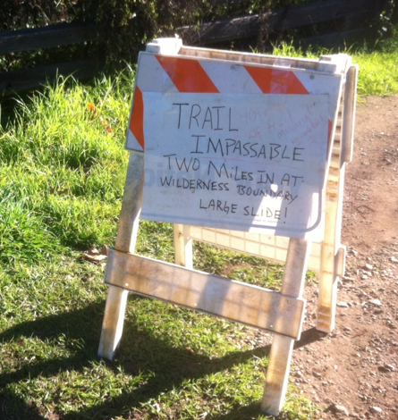
Sign as seen at the Pine Ridge Trail parking lot. - Cold Spring Trail - East Fork Survey - 12-28-2014 - by Aaron Songer
Link: Cold Spring Trail - East Fork Date: 12-28-2014 Surveyor Name: Aaron Songer Trail description: The trail was in good condition and it looked like there had been some work done since I was last there. About five minutes prior to getting to the water tower on East Camino Cielo, there was a small fallen limb blocking the trail, other than that it was great. Mode of transport: Hike Trail condition: Good shape and easy to follow - Gridley Trail Survey - 12-28-2014 - by Los Padres Forest Association
Link: Gridley Trail Date: 12-28-2014 Surveyor Name: Los Padres Forest Association Trail description: The Ojai Ranger District teamed up with local Ventura based Girl and Boy Scouts to help remove a slide section of the Gridley Trail. Â Great stuff. Â Thanks to everyone for their hard work. Â For more volunteer opportunities contact the Ojai Ranger District or INFO@LPForest.org. Mode of transport: Array Trail condition: Good shape and easy to follow Images: 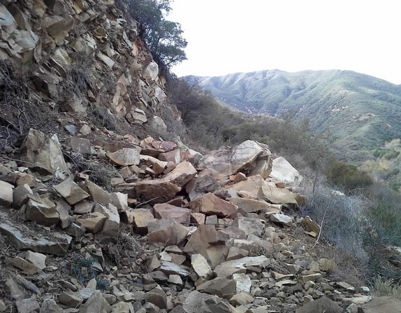
Before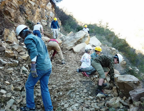
During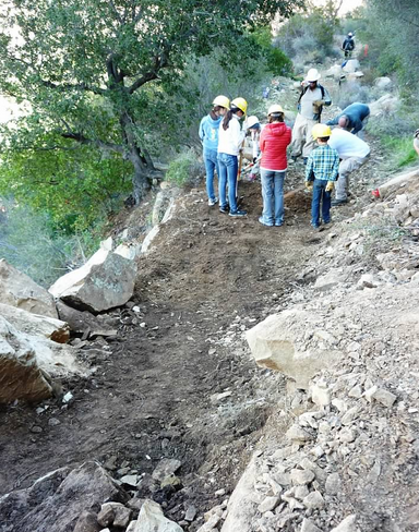
After - Santa Cruz Trail Survey - 12-28-2014 - by Los Padres Forest Association
Link: Santa Cruz Trail Date: 12-28-2014 Surveyor Name: Los Padres Forest Association Trail description: VWR Survey of the Santa Cruz Trail from Upper Oso to Santa Cruz Guard Station. Â Led by VWR Susie - Large downed trees just above the turnoff for Little Pine Spring- Lots of slides along the backside of Little Pine heading into and through the 40 Mile WallTRAIL IS CURRENTLY NOT PASSABLE FOR STOCKMode of transport: Hike Trail condition: Needs some work Images: 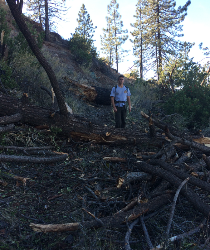
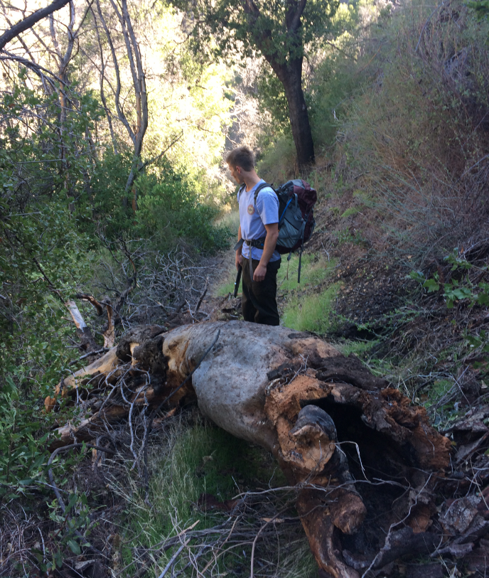
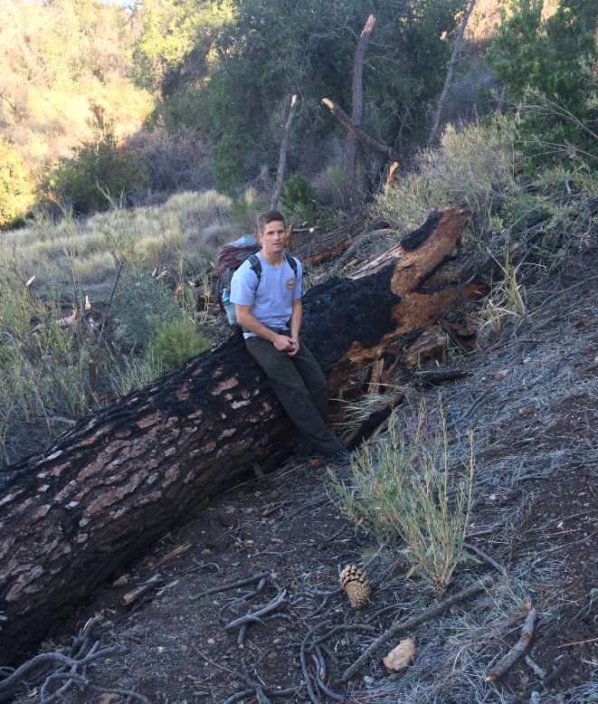
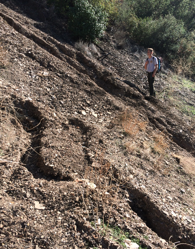
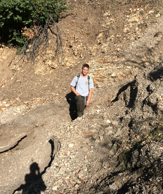
- Hurricane Deck Trail Survey - 12-26-2014 - by Andrew Jackman
Link: Hurricane Deck Trail Date: 12-26-2014 Surveyor Name: Andrew Jackman Trail description: Hiked the White Ledge Loop up through the Manzana River Trail to White Ledge, and then over the Hurricane Deck to the Lost Valley Trail and back down to Nira. Plenty of water all the way to White Ledge. The Hurricane Deck was passable, although waterless, and you will have to push through lots of brush. Recommend loppers for this portion. Lost Valley Trail was very clear and easy to follow with plenty of water. Overall it was a very pleasant hike! Mode of transport: Hike Trail condition: Needs some work - Lost Valley Trail San Rafael Wilderness Survey - 12-22-2014 - by Curt Cragg
Link: Lost Valley Trail San Rafael Wilderness Date: 12-22-2014 Surveyor Name: Curt Cragg Trail description: Los Padres Forest Association Volunteer Rangers Report from Trail Project on Lost Valley Trail December 20-21, 2014
Project Objectives Accomplished:
Cleared 20 fallen pine trees between Lost Valley Junction and Vulture Springs
Cleared brush in several dense areas along the trail
Repaired tread slides in several areas along the trail
Installed picnic table at Twin Oaks camp
Installed water basin at Vulture Springs
Bolted trail sign to post and planted post at Hurricane Deck and Lost Valley Junction
The Lost Valley Trail is in excellent hiking condition from the junction at the Manzana Trail to past Vulture Springs. Â We did get a report of another fallen pine and slide area just past Vulture Springs where we completed our work. This will need to be addressed for the wash out section to be safe for passage.Mode of transport: Hike Trail condition: Good shape and easy to follow Images: 
This slide area is just above Vulture Springs and has not been repaired as of 12/22/14. Photo and report by Jeff Mahoney.
This slide area is just above Vulture Springs and has not been repaired as of 12/22/14. Photo and report by Jeff Mahoney.
Water basin installed at Vulture Springs for collecting water to filter.JPG)
New picnic table at Twin Oaks Camp - Hurricane Deck Trail Survey - 12-22-2014 - by Anonymous Surveyor
Link: Hurricane Deck Trail Date: 12-22-2014 Surveyor Name: Anonymous Surveyor Trail description: Beautiful hike. Â Trail easy to follow. Â Bummer that someone had ridden a Mountain Bike on the Portrero Trail and left deep tire ruts. Trail condition: Good shape and easy to follow Condition details: Great trip in excellent weather - Pratt Trail Survey - 12-21-2014 - by Los Padres Forest Association
Link: Pratt Trail Date: 12-21-2014 Surveyor Name: Los Padres Forest Association Trail description: Bardley of Ojai and the Forest Service in conjunction with Engine 55 repainted, repaired and replanted the trail sign at the Pratt Trailhead. Â Great work! Mode of transport: Array Trail condition: Good shape and easy to follow Images: 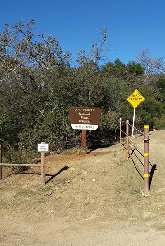
Photo Bardley of Ojai - Cozy Dell Trail Survey - 12-21-2014 - by Los Padres Forest Association
Link: Cozy Dell Trail Date: 12-21-2014 Surveyor Name: Los Padres Forest Association Trail description: The Ojai Ranger District led a trail project to fix some of the ruts caused by the large rains we've been having. Â Check the photos below, before and after. Thanks to Ranger Heidi for getting the troops organized on this project.Mode of transport: Array Trail condition: Good shape and easy to follow Images: 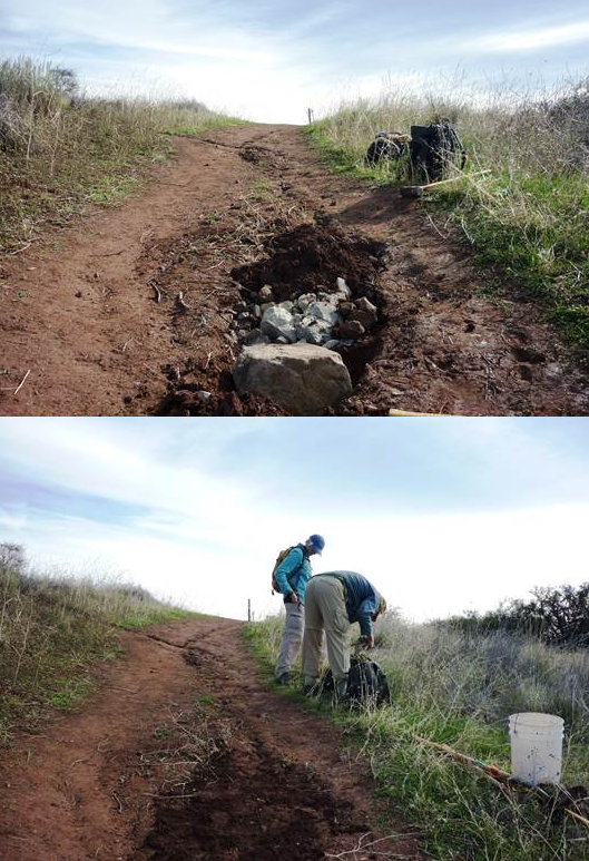
Photo Ranger Heidi - Cold Spring Trail - North Survey - 12-21-2014 - by Anonymous Surveyor
Link: Cold Spring Trail - North Date: 12-21-2014 Surveyor Name: Anonymous Surveyor Trail description: Very muddy sections on Cold Springs Trail--even the new sections--as it contours around the Mono drainage in the area known as the "Mono Jungle". Mode of transport: Hike Trail condition: Good shape and easy to follow Images: 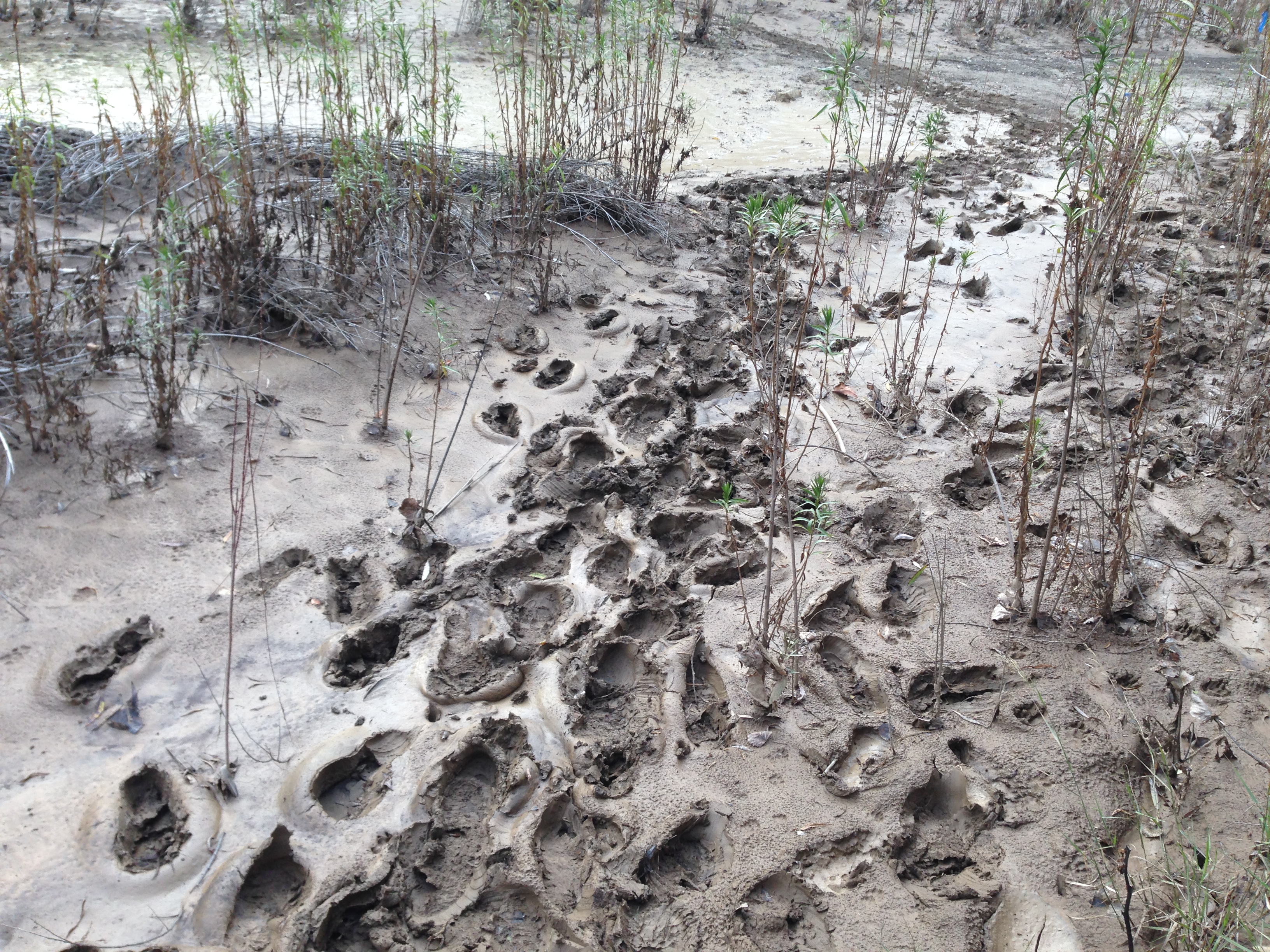
- Manzana Trail East (Upper) Survey - 12-16-2014 - by Los Padres Forest Association
Link: Manzana Trail East (Upper) Date: 12-16-2014 Surveyor Name: Los Padres Forest Association Trail description: The Manzana is now flowing again. Â Isn't rain a wonderful thing..... Mode of transport: Array Trail condition: Good shape and easy to follow - Aliso Loop Trail Survey - 12-13-2014 - by FP
Link: Aliso Loop Trail Date: 12-13-2014 Surveyor Name: FP Mode of transport: Hike Trail condition: Needs some work Condition details: Recent rains have eroded several sections of the trail. Rock and gravel slides have covered spots here and there. But trail is easily followed. - Cozy Dell Trail Survey - 12-13-2014 - by Los Padres Forest Association
Link: Cozy Dell Trail Date: 12-13-2014 Surveyor Name: Los Padres Forest Association Trail description: Reports of sink holes along the trail after the large December 2014 rains. Â The Ojai Ranger District has a project scheduled to fix them and clean the trail. Mode of transport: Hike Trail condition: Needs some work - Caliente Trail Survey - 12-08-2014 - by Los Padres Forest Association
Link: Caliente Trail Date: 12-08-2014 Surveyor Name: Los Padres Forest Association Trail description: Trail is mostly clear up from the trailhead with the usual amount of growth and downed trees in the Caliente Jungle. Â NO WATER above the trailhead. Â Went up as far as Upper Caliente Camp, again no water. Mode of transport: Hike Trail condition: Needs some work Images: 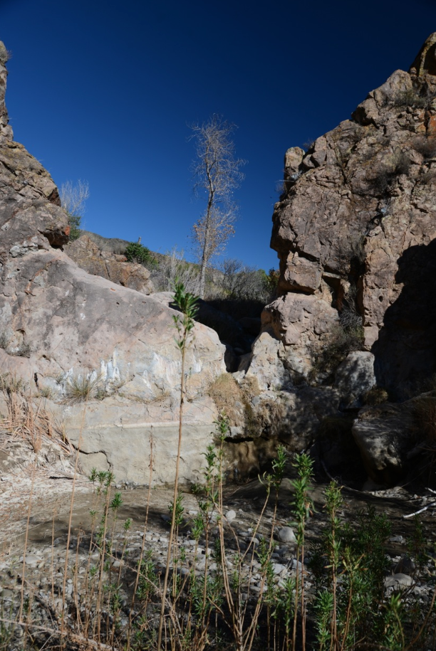
Photo Humphrey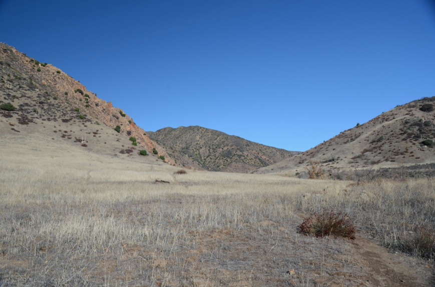
Photo Humphrey - Alejandro Trail Survey - 12-07-2014 - by Hike Los Padres
Link: Alejandro Trail Date: 12-07-2014 Surveyor Name: Hike Los Padres Trail description: From the trailhead to Alejandro Camp is in fair shape, passable and easy to follow. Â There are some downfalls, narrow tread, steep crumbly sections and poison oak that you need to dance around but you'll make it. We got a little lost after leaving the camp and heading up and over towards the Weber Trail and La Brea Canyon. Â Look at the map attachment, it will show you where we went wrong. Â We followed the cattle trail high up towards an oak grove and ended up in the wrong place. Â The trail passes the lowest saddle, keep heading down the ridgeline and you'll see the trail sign. Â Our route is in Black, the right trail is in greenish, Weber Trail is in gray.Mode of transport: Bicycle Trail condition: Needs some work Condition details: A little bit brushing could be done in a few places, but the trail is in good shape. Images: 
Showing our confused route heading from Alejandro over to La Brea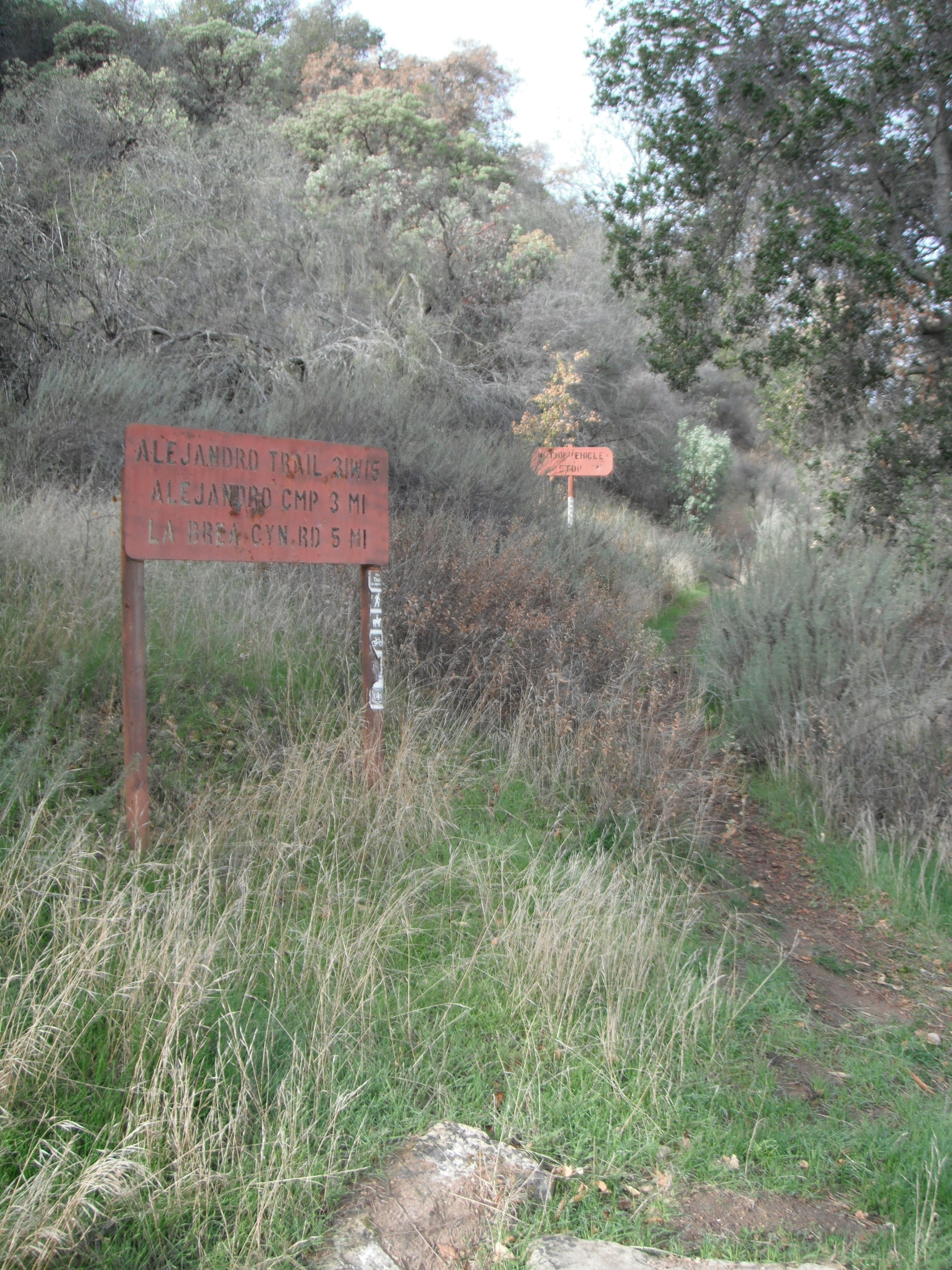
Alejandro Trailhead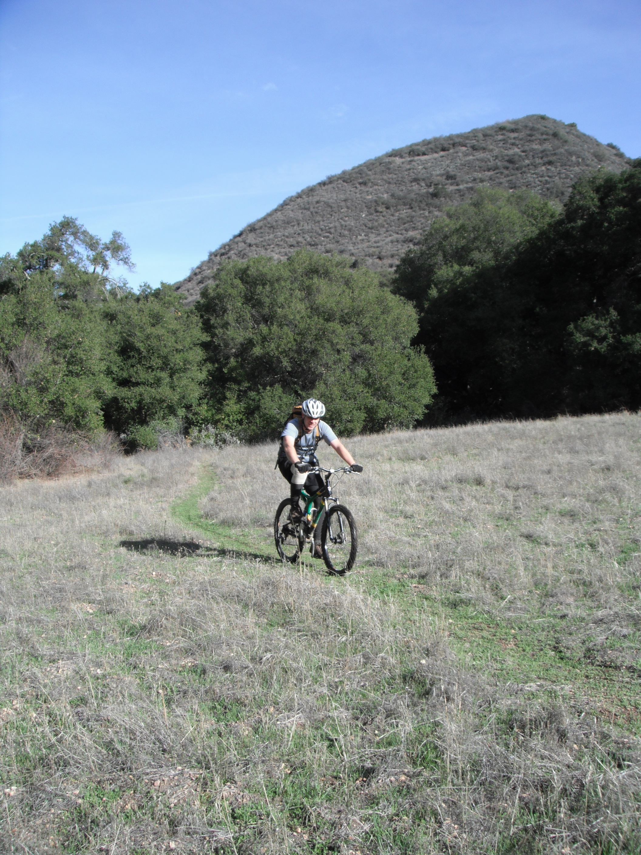
Alejandro Meadow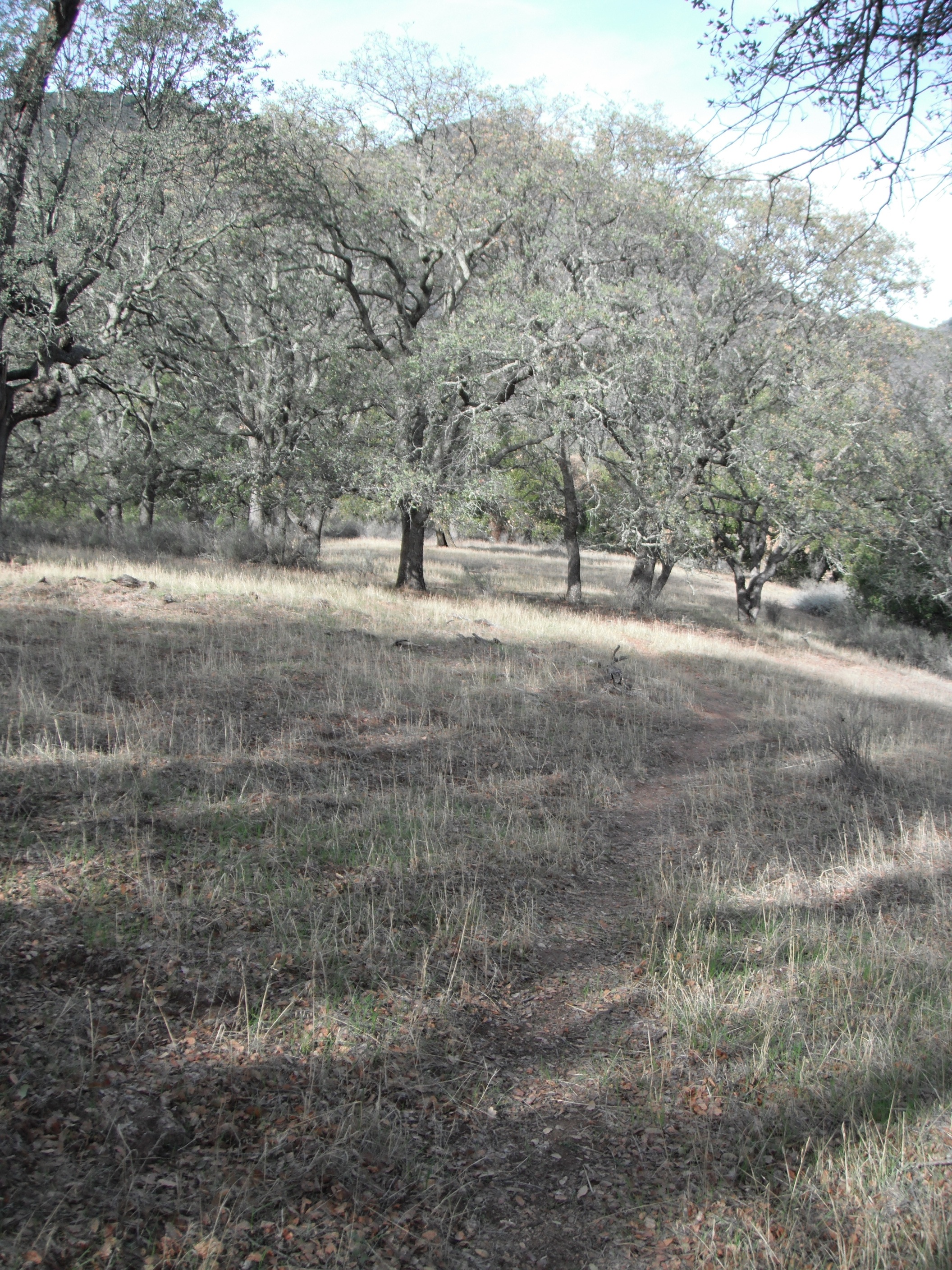
Alejandro Trail Oaks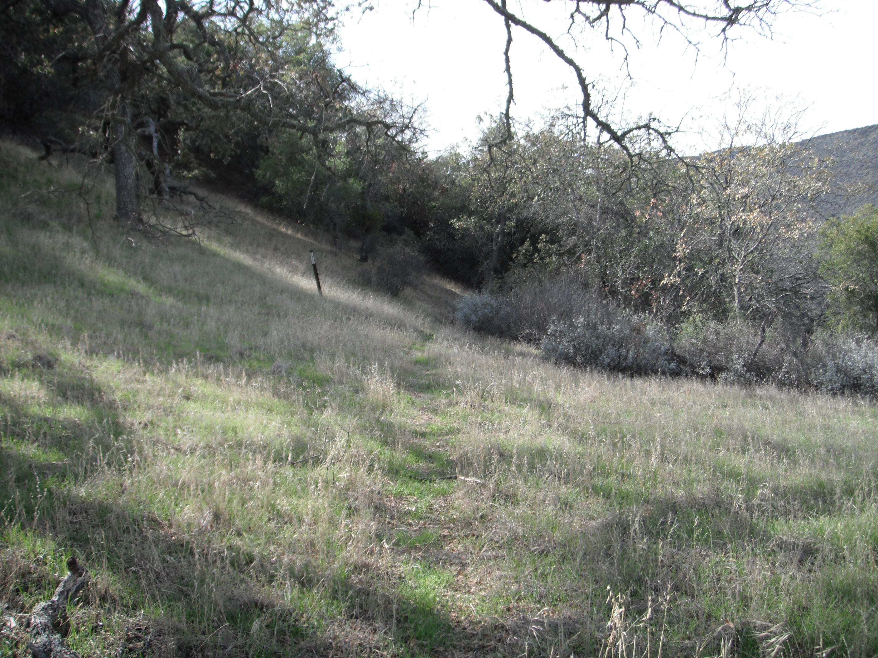
Sign at Alejandro Saddle - Horn Canyon Trail Survey - 12-06-2014 - by Los Padres Forest Association
Link: Horn Canyon Trail Date: 12-06-2014 Surveyor Name: Los Padres Forest Association Trail description: The Ojai Ranger District led a trail project up Horn Canyon from the trailhead to The Pines Campground. Â Headed up by Ranger Heidi, they were able to lop and clear the trail. Â There was good water in the creek but no water at the camp. Mode of transport: Array Trail condition: Good shape and easy to follow Images: 
Second Crossing, photo Ranger Heidi - Arroyo Burro Trail Survey - 12-04-2014 - by Valerie Norton
Link: Arroyo Burro Trail Date: 12-04-2014 Surveyor Name: Valerie Norton Trail description: Hiked the front side from the Jesusita Trailhead up to the top. Â While the tread is easy to follow, brush does often extend completely across the trail in the middle section. Â Coming down to the road, some of the old, dead trees and limbs have come down although nothing large crosses the trail. Â The last turn before meeting the road has dropped down to it and a steep tread is developing over some roots near this collapse. Â It is a bit of a worrisome spot when the trail is slippery from rain. Â The trail has been adorned with "Private Property" signs set high in trees and to be visible when coming back down. Â These should be serving as a reminder to stay on the trail in this section, but do appear to be attempting to dissuade all hikers from using it at all. Mode of transport: Hike Trail condition: Needs some work Condition details: Very brushy between Autograph Rock and joining the road, collapse near joining the road, couple small trees down - Mission Pine Trail Survey - 11-25-2014 - by Shaddus Maximus
Link: Mission Pine Trail Date: 11-25-2014 Surveyor Name: Shaddus Maximus Trail description: Awesome work recently done on this trail! Thanks to the volunteers who recently lopped brush back, making the trail wide and easy to follow. One one small section just east of Mission Pine Basin that's a little overgrown, but still very manageable and easy to navigate. Mode of transport: Hike Trail condition: Good shape and easy to follow - Pothole Trail Survey - 11-20-2014 - by Los Padres Forest Association
Link: Pothole Trail Date: 11-20-2014 Surveyor Name: Los Padres Forest Association Trail description: LPFA hosted a Working Vacation along the Pothole Trail. Â Let the pictures tell the story: https://www.facebook.com/media/set/?set=a.375270365931227.1073741836.153337144791218&type=1Mode of transport: Array Trail condition: Needs some work Images: 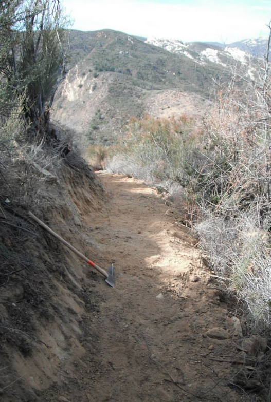
- Potrero Canyon Trail Survey - 11-18-2014 - by Los Padres Forest Association
Link: Potrero Canyon Trail Date: 11-18-2014 Surveyor Name: Los Padres Forest Association Trail description: Trail was clear and nice up to the Negus Potrero but started to get brushy from the Potrero to the Deck. Â That last upper section could use some brushing. Mode of transport: Hike Trail condition: Needs some work - Reyes Peak Trail Survey - 11-16-2014 - by John Spiegel
Link: Reyes Peak Trail Date: 11-16-2014 Surveyor Name: John Spiegel Trail description: There was no water along the trail (though there was some a mile east of Haddock Campground, between Haddock and Three Mile). The trail was pretty good through Haddock Peak, though I lost it once or twice for just a little bit (I added some more cairns on my way out). The view from Haddock Peak was amazing! Between Haddock Peak and Haddock Campground, the trail was overrun by thornbushes, 2m high in some places. Even with my rain jacket and rain pats (which shed the thorns quite well), I ended up with some scratches. I would absolutely not attempt this without brush pants and a jacket. Mode of transport: Hike Trail condition: Hard to follow Condition details: I lost the trail a few times, and between Haddock Peak and Haddock Campground the trail was overrun with thornbushes. - Piedra Blanca Trail Survey - 11-16-2014 - by John Spiegel
Link: Piedra Blanca Trail Date: 11-16-2014 Surveyor Name: John Spiegel Trail description: I spent the night at Haddock, and hiked to Pine Mountain Lodge Camp and back on Saturday. The trail was mostly good and easy to follow, with a few downed trees. There was good flowing water halfway between Haddock and Three Mile, stagnant puddles here and there, and a trickle at Pine Mountain Lodge. Mode of transport: Hike Trail condition: Needs some work Condition details: [Pine Mt. Lodge to Haddock only] Mostly good, but with some downed trees. - Mission Pine Trail Survey - 11-15-2014 - by Los Padres Forest Association
Link: Mission Pine Trail Date: 11-15-2014 Surveyor Name: Los Padres Forest Association Trail description: The LPFA and VWR led a second of three projects to open up the Mission Pine Trail. Â This project started at Windy Gap and headed West towards Mission Pine Basin. Â A crew of 10 volunteers worked on the trail over two days. Â They were able to work past the Rattlesnake Canyon Saddle, which is where they left off last time, and continued work to within 1.5miles of Mission Pine Basin! Â AWESOME! Picture provided by the Beeman. Â Big thanks to VWR Leader Curt Cragg for organizing the efforts.Mode of transport: Array Trail condition: Needs some work Images: 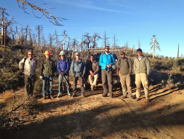
VWR Crew lineup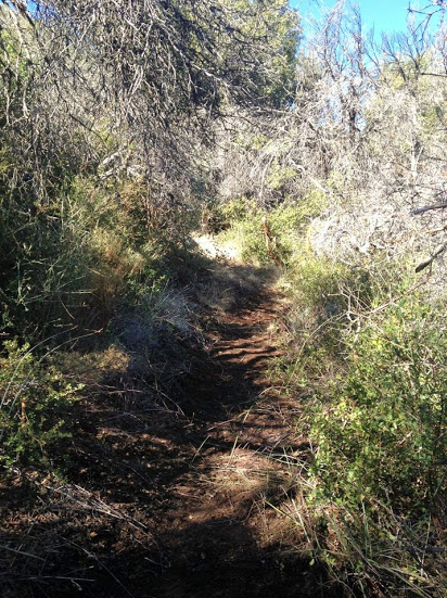
Looking good, nice work!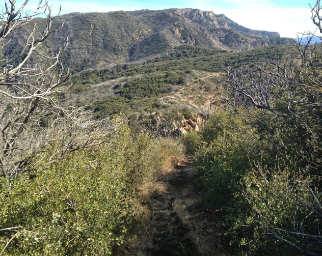
Looking back towards West Big Pine, WOW!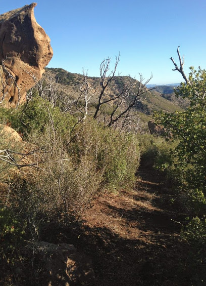
This rock marked the top of the worst section, it is now clear.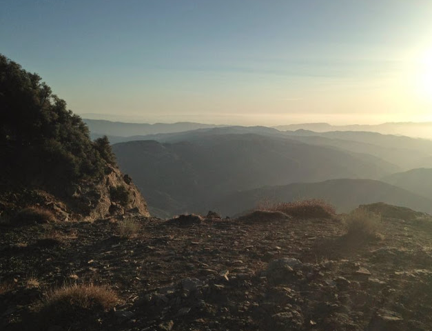
It's hard to beat the views from the Mission Pine Trail - Piedra Blanca Trail Survey - 11-10-2014 - by Anonymous Surveyor
Link: Piedra Blanca Trail Date: 11-10-2014 Surveyor Name: Anonymous Surveyor Trail description: Water availability is something you need to research ahead of time. Â We saw water at Upper Reyes, Bear Trap, about a mile above Bear Trap, between Haddock and Three Mile, at Pine Mountain Camp, at Piedra Spring, at Twin Forks, and Piedra Blanca Camps. Â In the Upper Bear Trap Canyon the trail is overgrown and hard to follow - I think this area sees more bears than hikers. We saw a ton of bear scat, more than I've ever seen before in my 50 some odd backpacking trips around California. Â The trail is very steep and eroded at the head of the canyon. It's sketchy with a big drop off - Â about wide enough for one foot but not both. Not recommended for those that are not ultra-sure footed or afraid of heights. Â Even I got vertigo. Â Near the camps the trail can be also confusing and hard to follow. We saw two trail runners at Bear Trap who were a bit lost. There are lots of trees down near Haddock and Three Mile. Â South of Pine Mountain Camp the trail is exceedingly steep with little shade. Â And then there is a lot of poison oak in the area near Piedra Springs. The whole length is definitely for expert hikers only. I found the hike challenging but very scenic. Â If you want to do just the northern section to Bear Trap or just the southern to Piedra Blanca those would make for easier overnight hikes. Mode of transport: Hike Trail condition: Needs some work - Lion Canyon Trail Survey - 11-09-2014 - by Bryan Conant
Link: Lion Canyon Trail Date: 11-09-2014 Surveyor Name: Bryan Conant Trail description: Great trail! Â One of my favorites. Â I love how it was designed and never seems to get too steep. Â The trail is in good shape. Â There was a lot of minor water damage as a result of the lat heavy rain we got a few weeks ago. Â The upper section is in fine shape, some work needed but nothing major. Â The middle section from the camps down to the Connector Trail is pretty brushy and could use a work project. Mode of transport: Bicycle Trail condition: Needs some work Images: 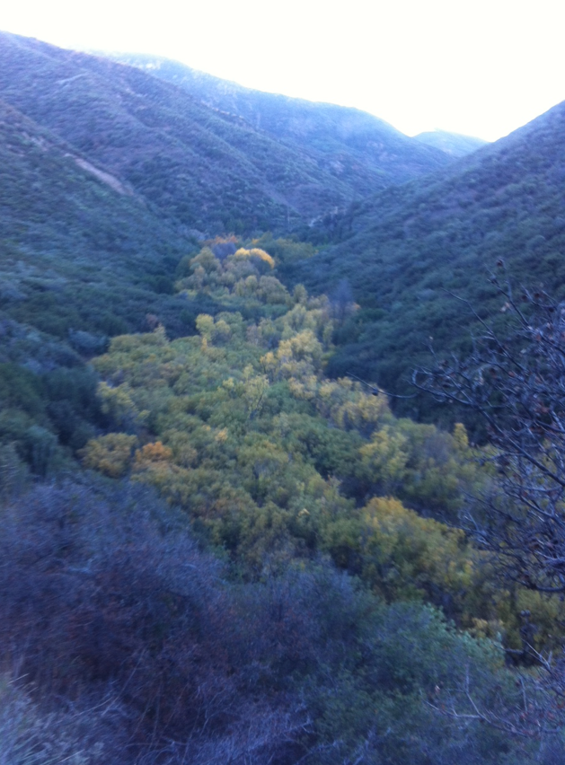
Fall in the Air and on the Trees


