 Use Marker Groups
 Wolf 2002
Piru 2003
Day 2006
Zaca 2007
Gap 2008
La Brea 2009

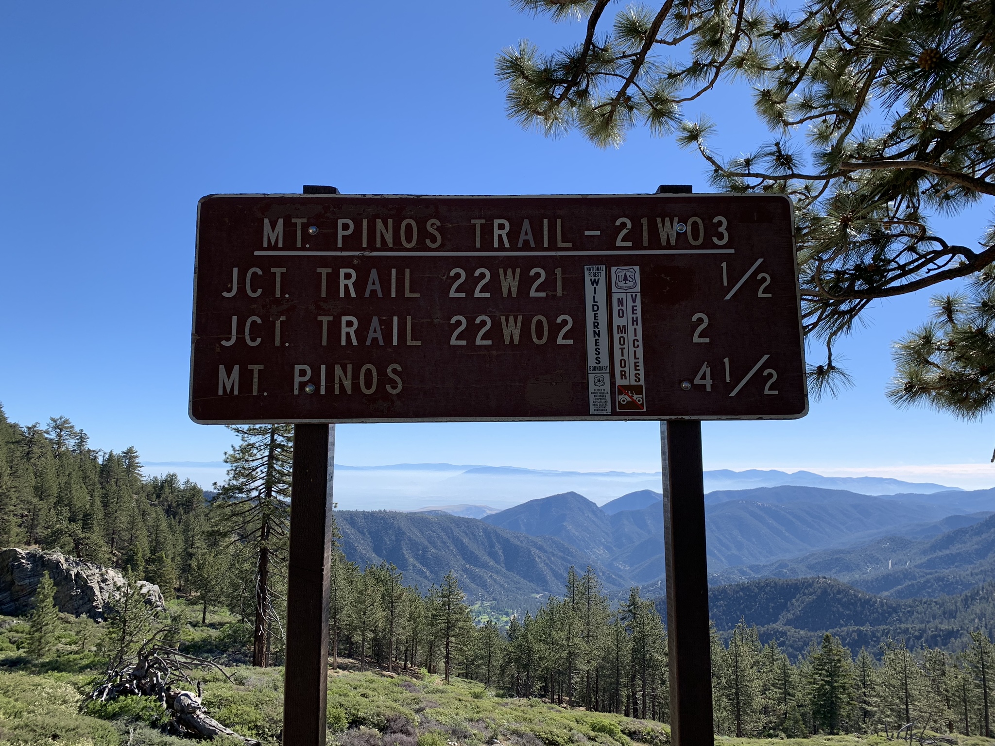
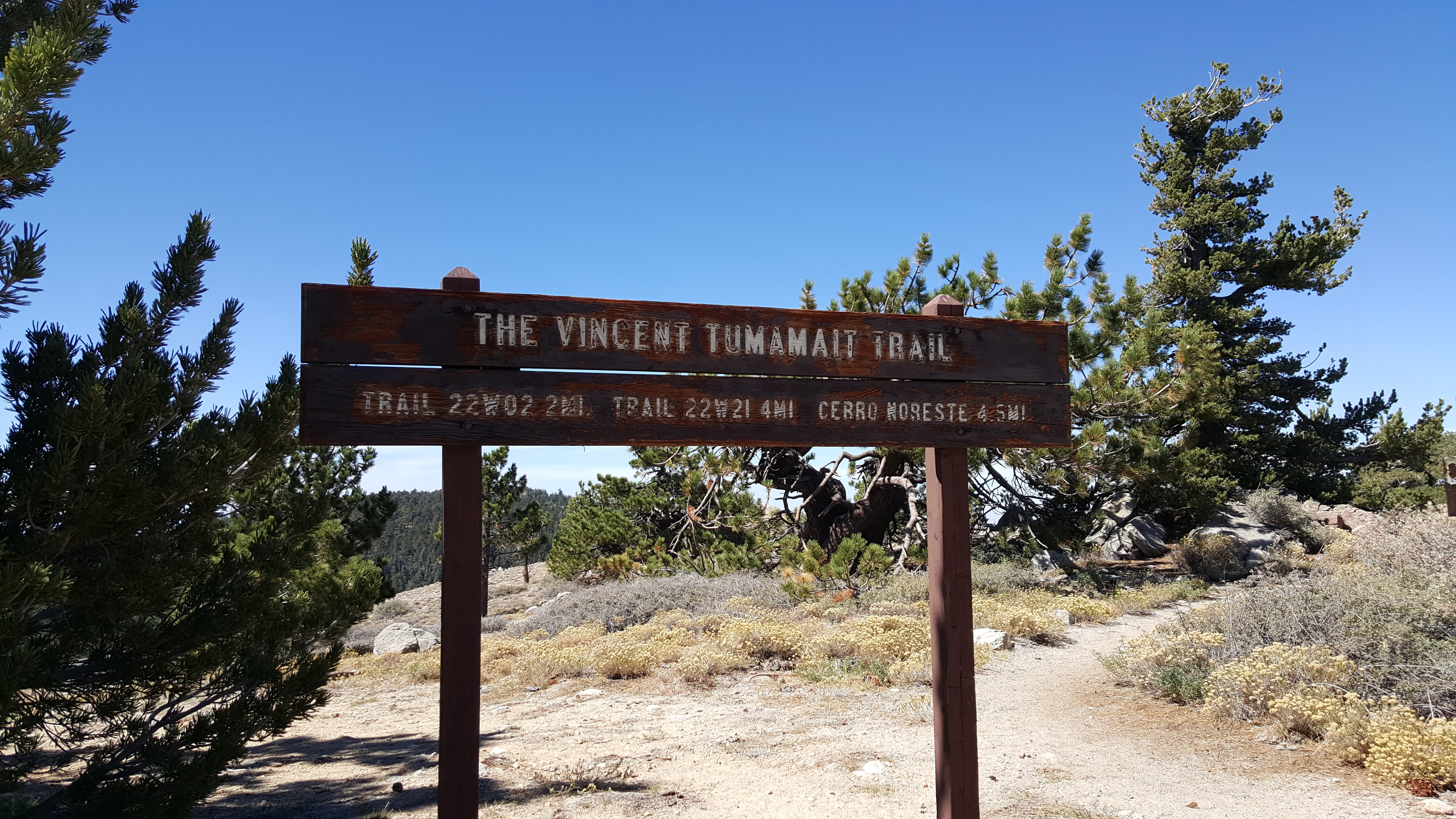
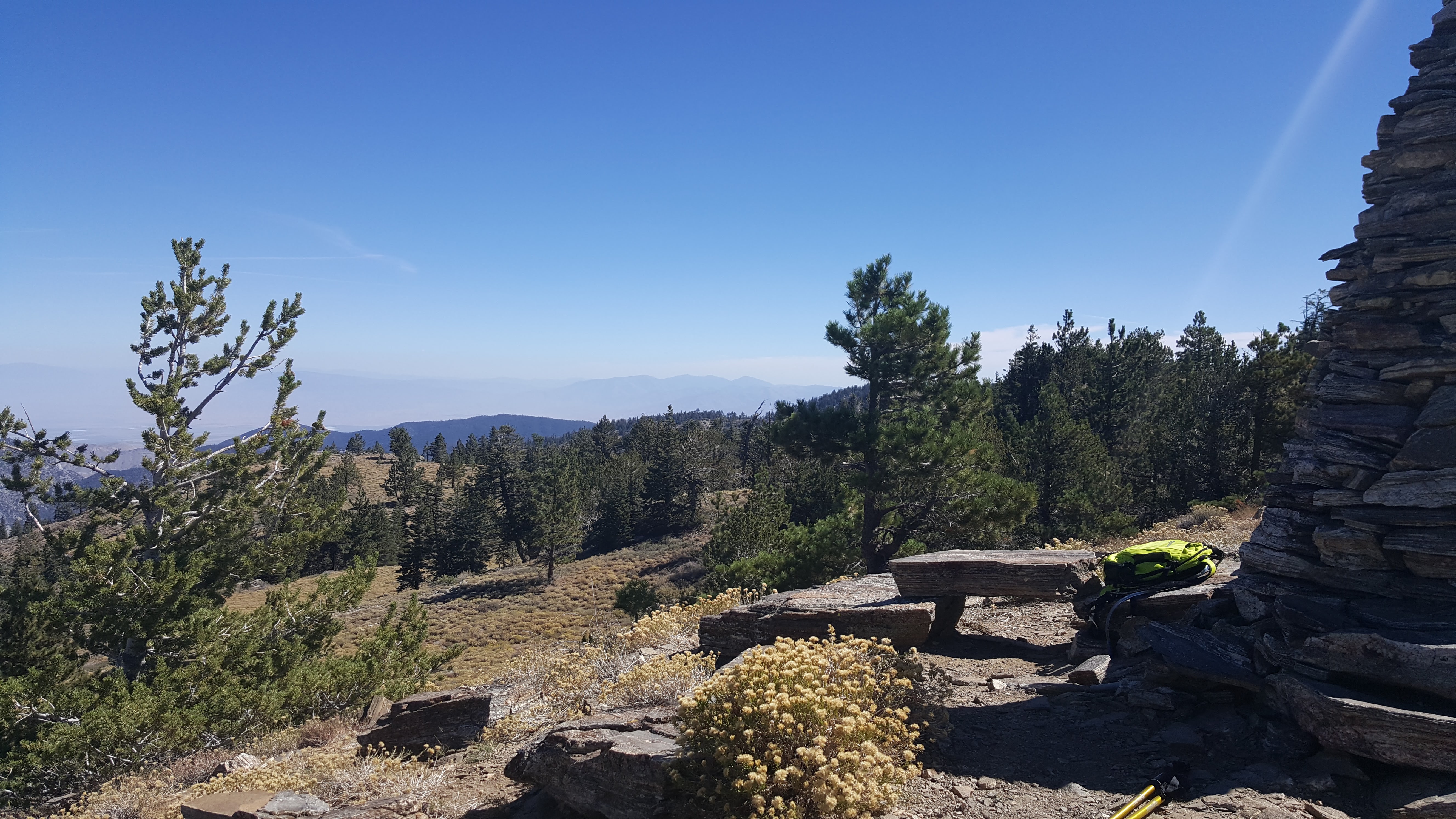
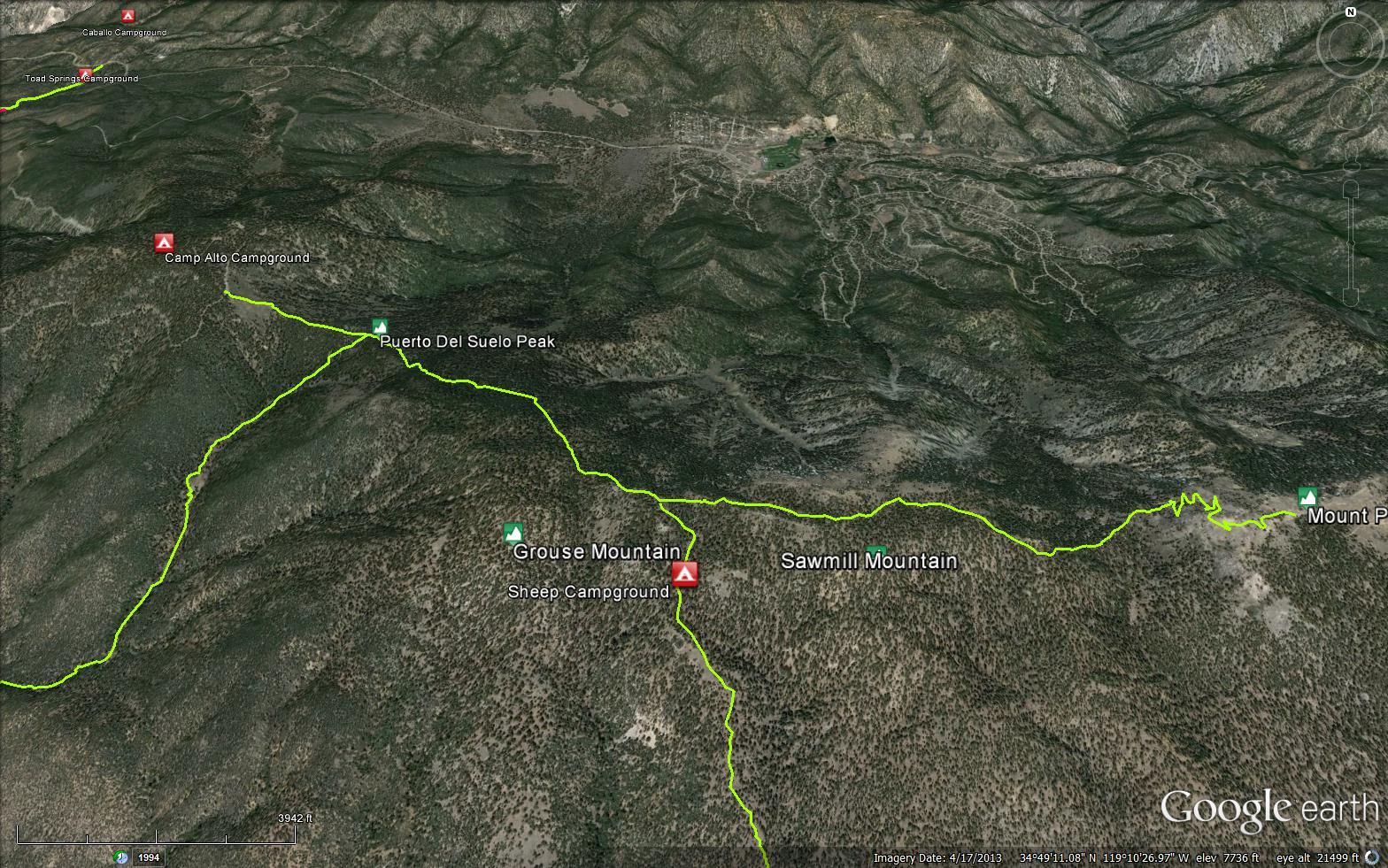
This trail runs along the crown of the mountain from Mount Pinos to Cerro Noroeste, Mount Abel, passing Sawmill Mountain and Grouse Mountain. Vincent Tumamait was a Chumash elder who died a short time ago and the trail was named after him.


 Mt Pinos - Tumamait Trail Survey - 04-19-2026 - by Anonymous Surveyor
| Link: | Mt Pinos - Tumamait Trail |
| Date: | 04-19-2026 |
| Surveyor Name: | Anonymous Surveyor |
| Trail description: | Trail is in good condition and easy to follow from Nordic base to sheep camp |
| Mode of transport: | Hike |
| Trail condition: | Good shape and easy to follow |
Mt Pinos - Tumamait Trail Survey - 05-18-2023 - by Daniel J. Hall| Link: | Mt Pinos - Tumamait Trail |
| Date: | 05-18-2023 |
| Surveyor Name: | Daniel J. Hall |
| Trail description: | Hiked dirt road from Nordic Base to Mt. Pinos, then went on Tumamait Trail only from its trailhead on Mt. Pinos to its junction with the North Fork Trail that goes to Sheep Camp. The trial was in good shape and easy to follow, except for snow covering the switchbacks down from trailhead on Mt. Pinos and minor brushing needed from the switchbacks down to the saddle. No blowdowns across the trail. We were there from Thursday to Saturday and there was much less snow on the trail by Saturday. For more detail, see captioned photos at https://tinyurl.com/2gkbsh6g |
| Mode of transport: | Hike |
| Trail condition: | Good shape and easy to follow |
Mt Pinos - Tumamait Trail Survey - 09-25-2021 - by Alan Coles| Link: | Mt Pinos - Tumamait Trail |
| Date: | 09-25-2021 |
| Surveyor Name: | Alan Coles |
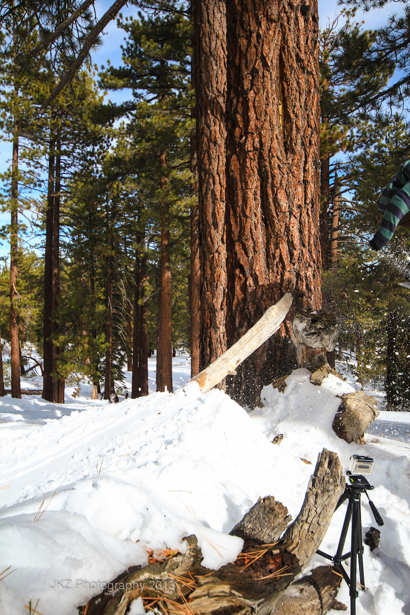
| Trail description: | We cleared 8 fallen trees between Cerro Noroeste Road and Sheep Camp. Trail in good shape. |
| Mode of transport: | Hike |
| Trail condition: | Good shape and easy to follow |
| Images: | 32" white fir cleared from trail |
Mt Pinos - Tumamait Trail Survey - 10-13-2020 - by bardley| Link: | Mt Pinos - Tumamait Trail |
| Date: | 10-13-2020 |
| Surveyor Name: | bardley |
| Trail description: | We traveled from Nordic Base to the junction of the North Fork Lockwood Trail junction. The trail is open without obstruction. We saw multiple mountain bicycle tire tread tracks, at least three, within the Wilderness area. We saw no bicycles. Temps in the low 70s. |
| Mode of transport: | Hike |
| Trail condition: | Good shape and easy to follow |
Mt Pinos - Tumamait Trail Survey - 06-24-2020 - by Antonio Calderon| Link: | Mt Pinos - Tumamait Trail |
| Date: | 06-24-2020 |
| Surveyor Name: | Antonio Calderon |
| Trail description: | Trail in excellent condition. Did a small portion from Cerro Noroeste to grouse mountain. Very serene and peaceful. Did not see anybody else on the trail. |
| Mode of transport: | Hike |
| Trail condition: | Good shape and easy to follow |
| Images: | |
Mt Pinos - Tumamait Trail Survey - 08-10-2019 - by BSA Troop 712 - Bears Patrol| Link: | Mt Pinos - Tumamait Trail |
| Date: | 08-10-2019 |
| Surveyor Name: | BSA Troop 712 - Bears Patrol |
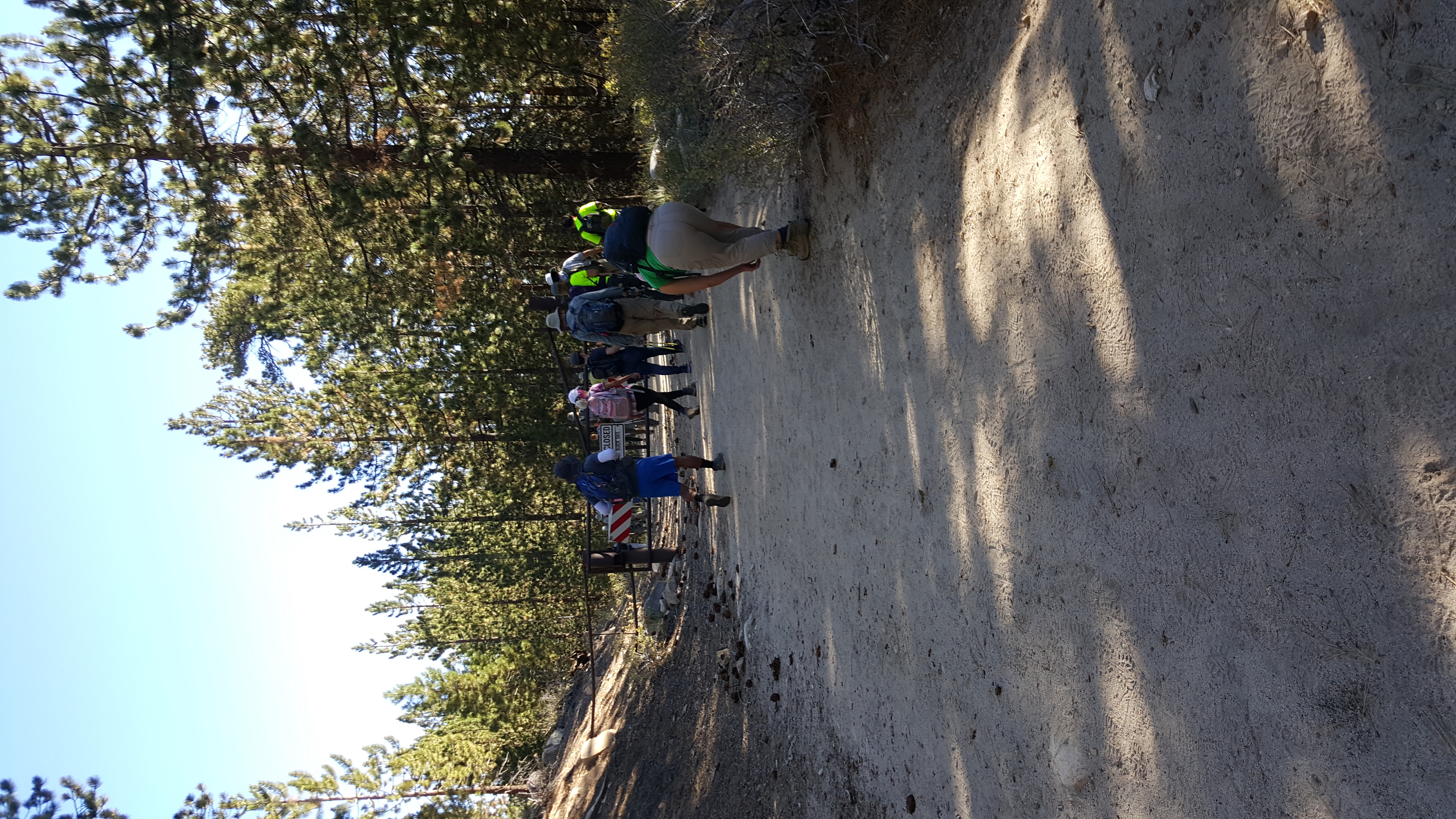
| Trail description: | Only a few signs mark the trail, there was no sign to mark the trail to the peak of sawmill. There is a condor observation area on the Mt. Pinos, also there is a giant stone cairn on the top of Mt. Sawmill. There is an outdoor restroom on the top of Mt. Pinos and the next restroom we encountered was 10 miles away at camp Alto near the peak of Mt. Puerta Del suelo. There was wildlife on the trail as well as other hikers that we encountered. The weather was pleasant to hike in but a little chilly at night. We discovered that the mile distance that is on the signs did not match up with the total distance we hiked, we ended up hiking further than anticipated due to this. |
| Mode of transport: | Hike |
| Trail condition: | Needs some work |
| Condition details: | Trail was not well defined in areas, some water runoffs look like trails. Parts of the trail were rocky and gravely. |
| Images: | Trail to the top of Mt. Pinos Unmarked trail Trail incorrect The trail is obstructed. Clean trail but rocky |
Mt Pinos - Tumamait Trail Survey - 06-29-2019 - by Christopher P. Lord| Link: | Mt Pinos - Tumamait Trail |
| Date: | 06-29-2019 |
| Surveyor Name: | Christopher P. Lord |
| Trail description: | Excellent condition from Cerro Noroeste Trailhead to the junction with North fork Lockwood. |
| Mode of transport: | Hike |
| Trail condition: | Good shape and easy to follow |
| Images: | |
Mt Pinos - Tumamait Trail Survey - 05-05-2019 - by Joe McDougall| Link: | Mt Pinos - Tumamait Trail |
| Date: | 05-05-2019 |
| Surveyor Name: | Joe McDougall |
| Trail description: | Traveled full trail from Mt. Pinos to Mt Abel/Cerro Noroeste for a one night backpack. Some remnant patches of snow, slippery, but easy to cross. Trail is in good condition and easy to follow. Few downed trees are small and easily bypassed. |
| Mode of transport: | Hike |
| Trail condition: | Good shape and easy to follow |
Mt Pinos - Tumamait Trail Survey - 05-01-2019 - by Calabasas Day Hikers| Link: | Mt Pinos - Tumamait Trail |
| Date: | 05-01-2019 |
| Surveyor Name: | Calabasas Day Hikers |
| Trail description: | Switchbacks below Mt Pinos condor lookout are completely covered with snow in shaded areas but easy to navigate around. Some trees have fallen across trail between Sawmill summit trail and Grouse Mtn turnoff. Â Trail is in good condition otherwise from Condor Lookout to Grouse Mtn turnoff. |
| Mode of transport: | Hike |
| Trail condition: | Needs some work |
| Images: | Switchbacks below Mt Pinos Condor Lookout |
Mt Pinos - Tumamait Trail Survey - 08-19-2018 - by Christopher P. Lord| Link: | Mt Pinos - Tumamait Trail |
| Date: | 08-19-2018 |
| Surveyor Name: | Christopher P. Lord |
| Trail description: | Trail is in great condition and the weather was a perfect 75 degrees. Was a little crowded in the afternoon near the summit of Pinos and Sawmill but I guess that's to be expected on a Nice Summer Sundayafternoon. https://christopherplord.blogspot.com/ |
| Mode of transport: | Hike |
| Trail condition: | Good shape and easy to follow |
| Images: | |
Mt Pinos - Tumamait Trail Survey - 07-19-2018 - by Carol Day| Link: | Mt Pinos - Tumamait Trail |
| Date: | 07-19-2018 |
| Surveyor Name: | Carol Day |
| Trail description: | There is a low but adequate flow of water in the piped spring at Sheep Camp. |
| Mode of transport: | Hike |
| Trail condition: | Good shape and easy to follow |
Mt Pinos - Tumamait Trail Survey - 09-03-2017 - by Marco| Link: | Mt Pinos - Tumamait Trail |
| Date: | 09-03-2017 |
| Surveyor Name: | Marco |
| Trail description: | Nice hike! Only tough bits are at either ends--the middle section is just a mellow mesa for the most part. |
| Mode of transport: | Hike |
| Trail condition: | Good shape and easy to follow |
Mt Pinos - Tumamait Trail Survey - 07-19-2017 - by bardley| Link: | Mt Pinos - Tumamait Trail |
| Date: | 07-19-2017 |
| Surveyor Name: | bardley |
| Trail description: | Â - it is depressing to see how much the constant use of the switchback-cutting use trail down the western side of mt. pinos has almost become the route of choice. - on my way to sheep camp, i followed a white-haired fellow traveler down that side and watched as he veered off trail onto the use trail before he reached any of the switchbacks. Â i continued on the trail. Â i watched as he came and went in and out of view all the way down and then lost sight of him. - the funny thing is that i caught up and passed him just after the sawmill mountain uphill begins. Â as most will tell you, bardley is not a fast hiker. Â quite the contrary. - in my opinion, that knucklehead should have known better and is only contributing to the lasting damage that will be left for future generations. Â he saved himself zero time. - rant off. |
| Mode of transport: | Hike |
| Trail condition: | Good shape and easy to follow |
Mt Pinos - Tumamait Trail Survey - 04-11-2017 - by Craig R. Carey| Link: | Mt Pinos - Tumamait Trail |
| Date: | 04-11-2017 |
| Surveyor Name: | Craig R. Carey |
| Trail description: | Backpacked from Chula Vista to the edge of the Chumash Wilderness boundary on Saturday, 4/1/2017 en route to Lily Meadows. Snow near wilderness boundary was just deep to enough we thought better of it (we'd gotten a late start) and turned back, approaching from 3Falls instead. Route was covered in snow the entire 2 miles to condor lookout. Glorious. |
| Mode of transport: | Hike |
| Trail condition: | Good shape and easy to follow |
| Images: | |
Mt Pinos - Tumamait Trail Survey - 09-26-2015 - by Anonymous Surveyor| Link: | Mt Pinos - Tumamait Trail |
| Date: | 09-26-2015 |
| Surveyor Name: | Anonymous Surveyor |
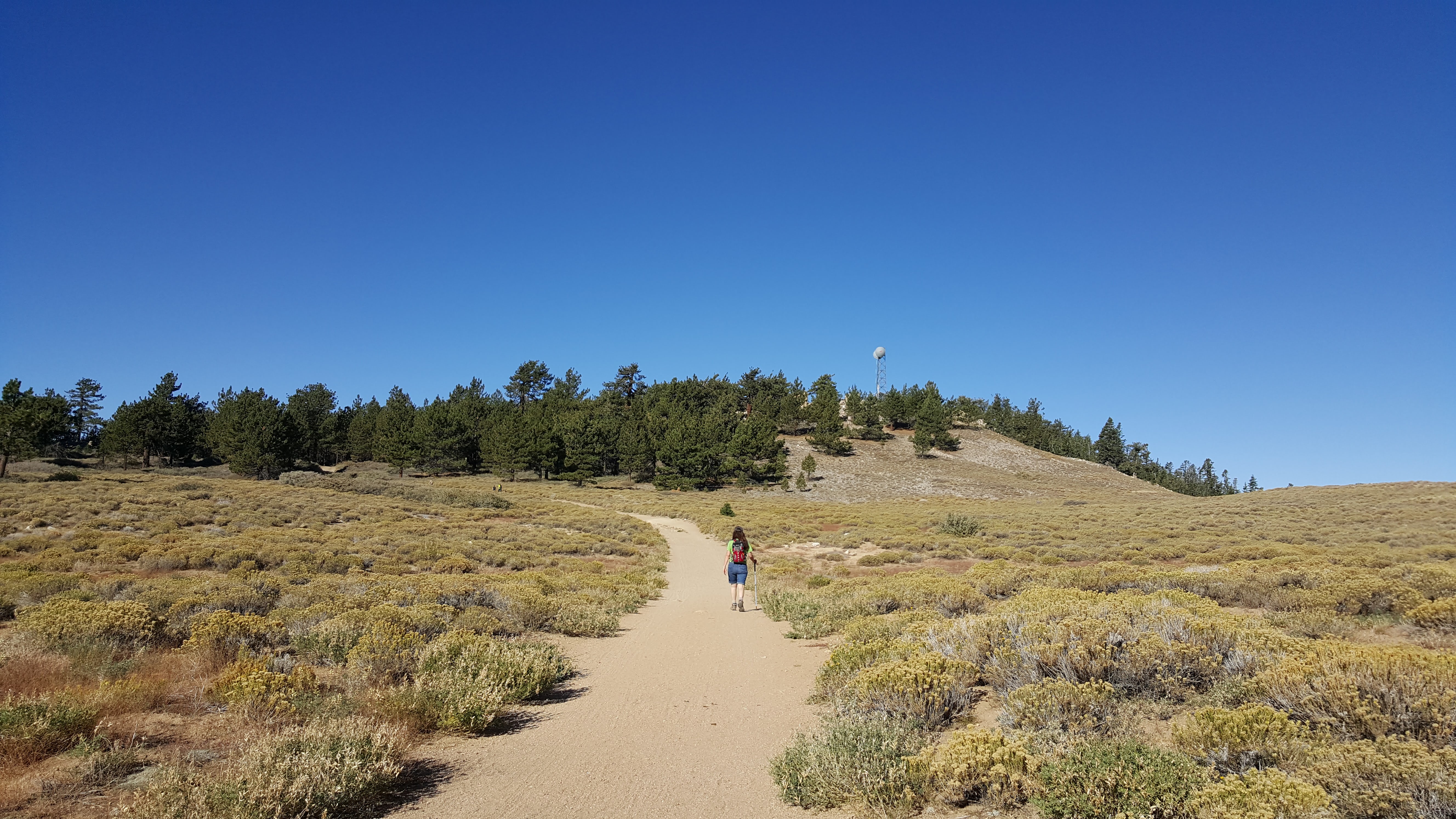
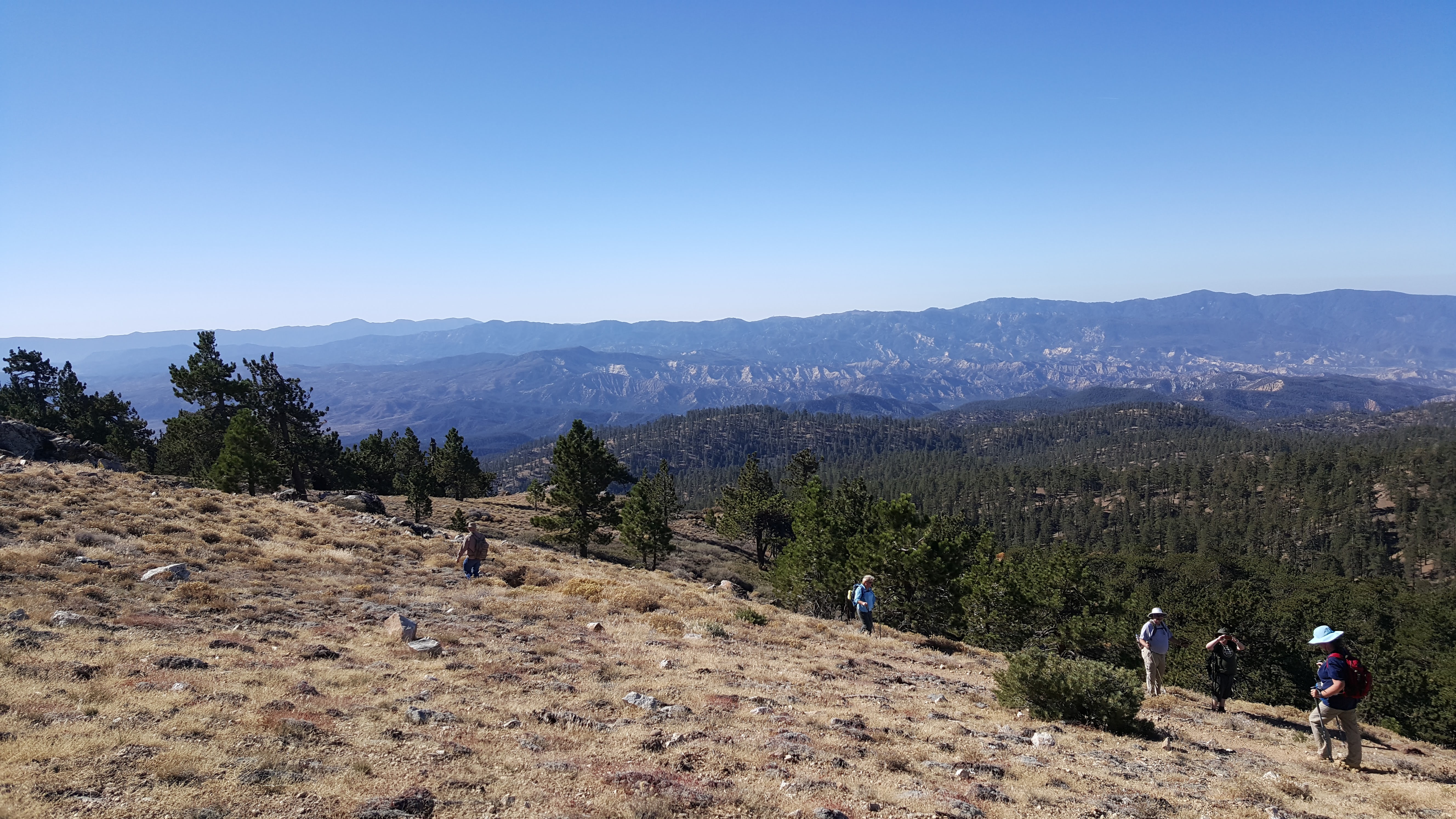
| Trail description: | The hike up to Mt. Pinos lookout was pretty easy and well kept. Our group ended up hiking to the Sawmill Peak. The trail was easy to follow until you turn off to go up to the peak.  There is a little pink flag and a some logs lining the turn off. |
| Mode of transport: | Hike |
| Trail condition: | Good shape and easy to follow |
| Images: | Start to Mt. Pinos Trail path is wide and easy Trail head to Tumamait Small switchbacks down View from Sawmill Peak |
Mt Pinos - Tumamait Trail Survey - 06-30-2013 - by Steven Calkins| Link: | Mt Pinos - Tumamait Trail |
| Date: | 06-30-2013 |
| Surveyor Name: | Steven Calkins |
| Trail description: | Hiked from Campo Alto to Sheep Camp. Trail very well used and maintained. Good water at Sheep Camp spring (frog living in the spring). |
| Mode of transport: | Hike |
| Trail condition: | Good shape and easy to follow |
| People Seen: | 6 |
Mt Pinos - Tumamait Trail Survey - 03-05-2014 - by Hike Los Padres| Link: | Mt Pinos - Tumamait Trail |
| Date: | 03-05-2014 |
| Surveyor Name: | Hike Los Padres |
| Trail description: | New Years Day 2013 --------------------------------------------------------------------------------------------------------------------  Â Â Â Â  Â Â Â Â  We had a great time walking to the radio tower to get to the trail in about two feet of snow. It can be very windy once you approach the top of Mt. Pinos. This is also a great place to view the local Condor since it is a condor sanctuary. You can expect to see some great view of the southern Los Padres Forest. On most weekends you can count on a ton of people up being up at the Chula Vista Parking Lot, but the farther from the road, the quieter it gets. This is a very popular place for testing gear for winter exploring, snow shoeing or any other winter activity. This trial is in the wilderness, so remember that means only walking or riding horseback. Coldest day for me so far was 8 * F.  Snowy Days at Mount Pinos are the best!!! |
| Mode of transport: | Bicycle |
| Trail condition: | Good shape and easy to follow |
| People Seen: | 100 |
| Images: | |
 Survey / Report Form - Please click this box to open the form.