 Use Marker Groups
 Wolf 2002
Piru 2003
Day 2006
Zaca 2007
Gap 2008
La Brea 2009

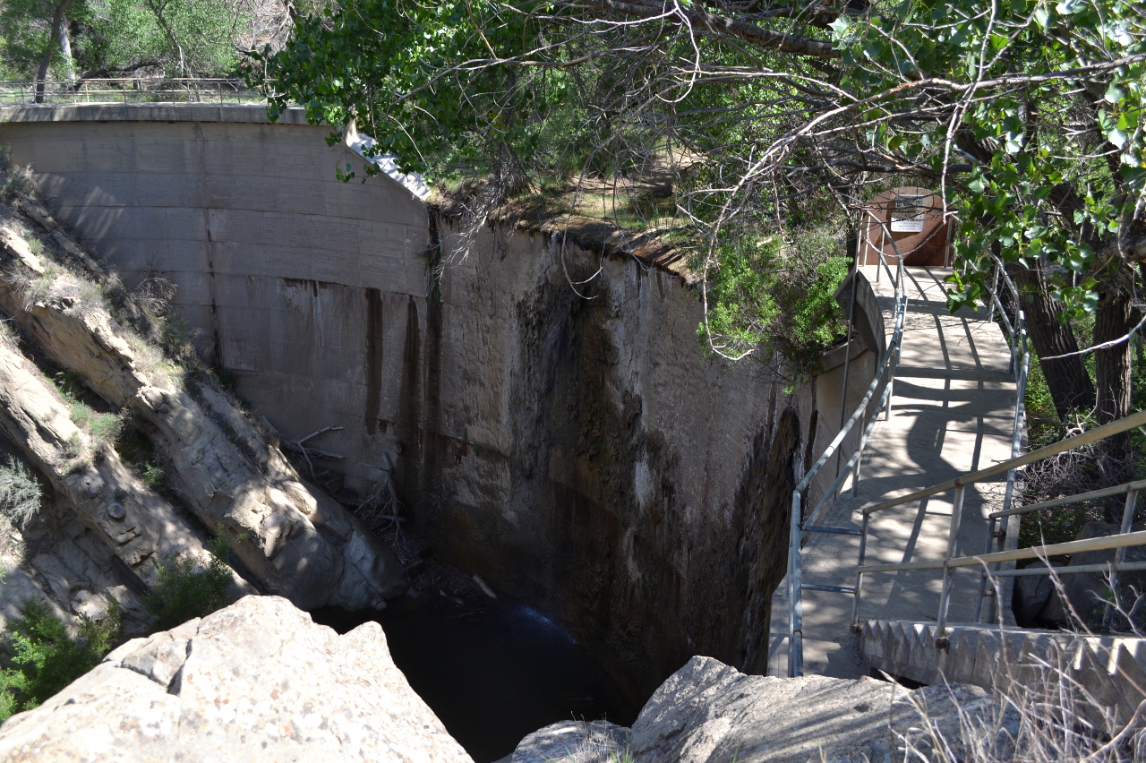
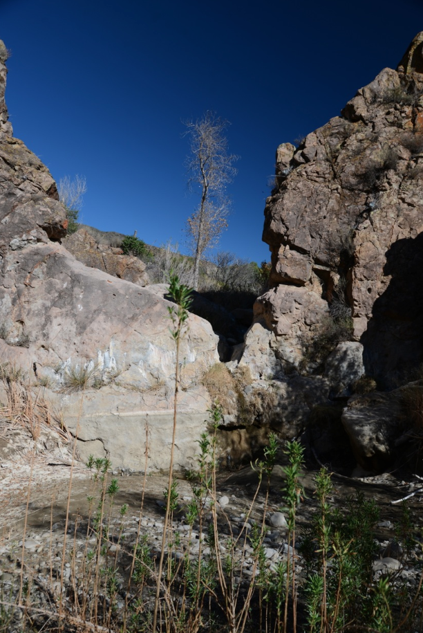
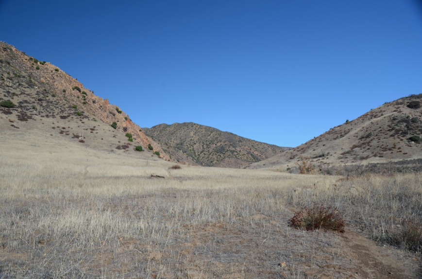
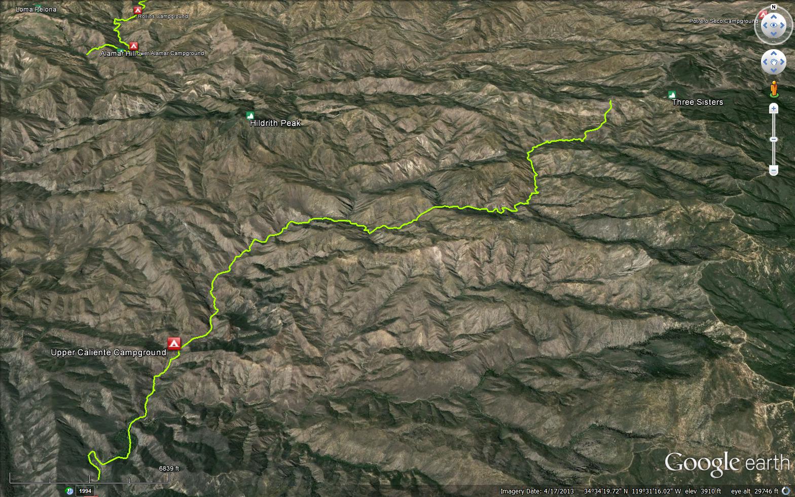
The canyon is named for the Big Agua Caliente Hot Spring located in the canyon. The canyon heads on a ridge between Hildreth Peak and Monte Arido. The Cliente Trail runs up the canyon passing La Carpa Potrero to join the Monte Arido Potrero Seco Rd. 6N03. Road 5NI6 runs from Pendala up to the Hot Springs Rd. Years ago this road continued up the canyon to the Caliente Canyon Debris Dam.


 Caliente Trail Survey - 03-30-2022 - by Addison Jerlow
| Link: | Caliente Trail |
| Date: | 03-30-2022 |
| Surveyor Name: | Addison Jerlow |
| Trail description: | Almost flagged too well! Easy to follow except for the creek crossing right after the main Cottonwood Jungle...look far right when heading upstream. On trail near the debris dam are some of the largest Big Berry Manzanita I've ever seen. |
| Mode of transport: | Hike |
| Trail condition: | Good shape and easy to follow |
Caliente Trail Survey - 10-28-2020 - by John Doe | Link: | Caliente Trail |
| Date: | 10-28-2020 |
| Surveyor Name: | John Doe |
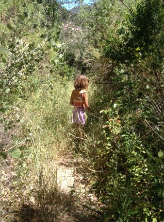
| Trail description: | Trail becomes hard to follow around crossings, especially in/near the cottonwood jungle portion. I do not recommend just following the braided creek here in the correct direction unless you like poison oak. Trail is faint but it’s there. “The Oasis” is more of a small, stagnant puddle at this time, but still a neat area. Use trail to Upper Caliente isn’t any harder to find than the rest of the trail. No desirable water source located. |
| Mode of transport: | Hike |
| Trail condition: | Hard to follow |
| Condition details: | Very faint past the dam |
Caliente Trail Survey - 04-11-2016 - by Los Padres Forest Association| Link: | Caliente Trail |
| Date: | 04-11-2016 |
| Surveyor Name: | Los Padres Forest Association |
| Trail description: | Recent article by Richie DeMaria about a journey up Caliente Canyon: http://www.independent.com/news/2016/apr/11/east-camino-cielo-upper-caliente-canyon/ |
| Mode of transport: | Hike |
| Trail condition: | Needs some work |
Caliente Trail Survey - 02-26-2016 - by Los Padres Forest Association| Link: | Caliente Trail |
| Date: | 02-26-2016 |
| Surveyor Name: | Los Padres Forest Association |
| Trail description: | VWR sawyer team removed downed trees along the trail between the trailhead and the Oasis Pool. Â Brushing is still needed and trail work but all trees were removed. Â See photos. |
| Mode of transport: | Array |
| Trail condition: | Needs some work |
| Images: | BEFORE AFTER |
Caliente Trail Survey - 02-13-2016 - by Los Padres Forest Association| Link: | Caliente Trail |
| Date: | 02-13-2016 |
| Surveyor Name: | Los Padres Forest Association |
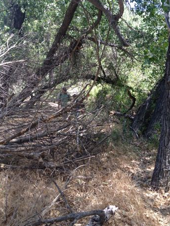
| Trail description: | LPFA Patrol scouting Caliente Trail for an upcoming Scouts project. Â Lots of brushing needed, many downed trees once you get into the jungle above the dam. |
| Mode of transport: | Array |
| Trail condition: | Needs some work |
| Images: | |
Caliente Trail Survey - 12-08-2014 - by Los Padres Forest Association| Link: | Caliente Trail |
| Date: | 12-08-2014 |
| Surveyor Name: | Los Padres Forest Association |
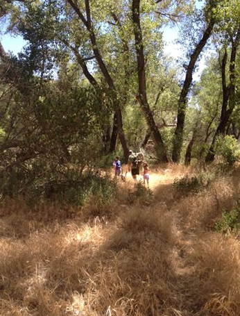
| Trail description: | Trail is mostly clear up from the trailhead with the usual amount of growth and downed trees in the Caliente Jungle. Â NO WATER above the trailhead. Â Went up as far as Upper Caliente Camp, again no water. |
| Mode of transport: | Hike |
| Trail condition: | Needs some work |
| Images: | Photo Humphrey Photo Humphrey |
Caliente Trail Survey - 06-15-2014 - by Los Padres Forest Association| Link: | Caliente Trail |
| Date: | 06-15-2014 |
| Surveyor Name: | Los Padres Forest Association |
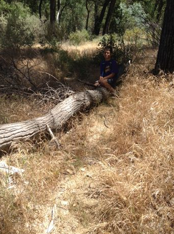
| Trail description: | Typical of the Caliente Trail, there are obstacles to deal with starting just past the old dam. Â Fallen trees, overgrown trail, confusing animal trails and encroaching brush of all shapes and sizes. Â Very scenic and wild feeling. Â A great canyon. Â There was water in the Oasis Pool. |
| Mode of transport: | Hike |
| Trail condition: | Needs some work |
| Number of trees down: | 6 |
| People Seen: | 0 |
| Images: | |
Caliente Trail Survey - 04-22-2014 - by Valerie Norton| Link: | Caliente Trail |
| Date: | 04-22-2014 |
| Surveyor Name: | Valerie Norton |
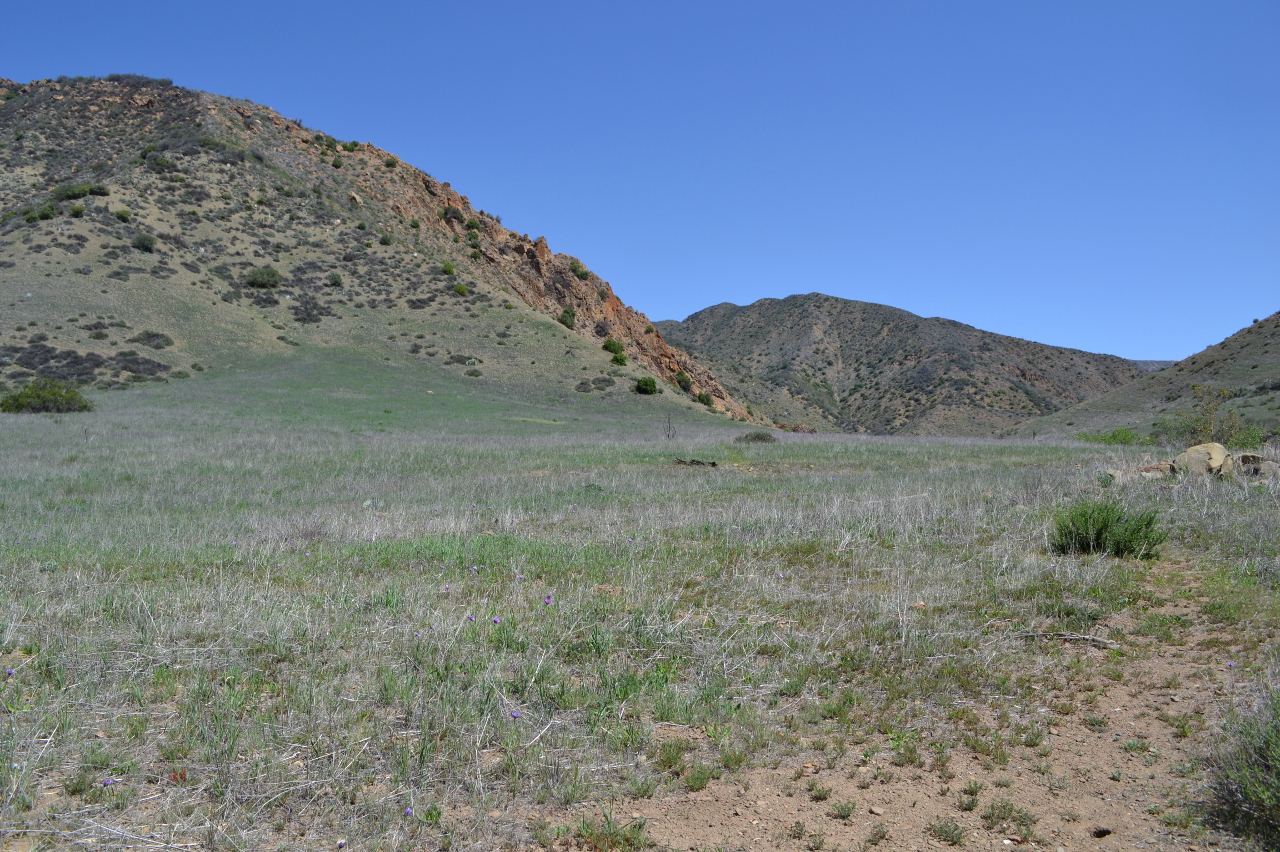
| Trail description: | Hiked as far as the ridge HPS folks use to access Hildreth Peak on my way to the same. Â (Oddly, the route marked as I write this starts up this ridge rather than staying with the trail.) Â Used the jeepway (quite passable) on the way back. Â The trail seemed easier to follow than three years ago for as far as I went. Â The creek has water. Â The down trees are small and just above the dam. Peonies are starting to bloom and the grassy areas are full of tiny flowers. |
| Mode of transport: | Hike |
| Trail condition: | Needs some work |
| Condition details: | trees down, not enough feet |
| Number of trees down: | 2 |
| Images: | |
 Survey / Report Form - Please click this box to open the form.