 Use Marker Groups
 Wolf 2002
Piru 2003
Day 2006
Zaca 2007
Gap 2008
La Brea 2009

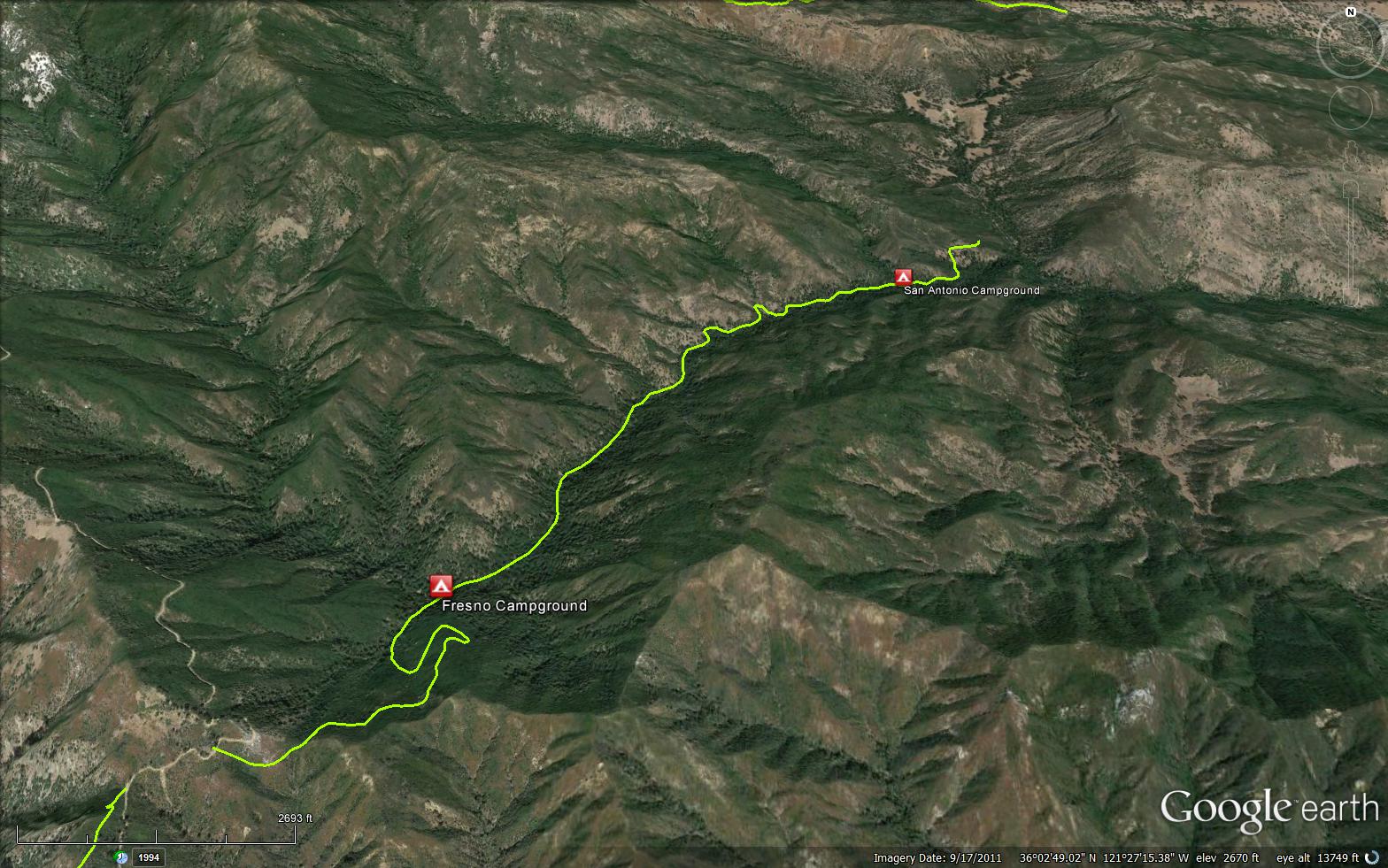
The San Antonio Trail is a scenic 3.60 mile trail in the Ventana Wilderness in Monterey County . The trail connects the Centrail Coast Ridge Road (20S05.3) and the Salsipueded Road (21S03). Please let us know if you have explored this trail recently.
 San Antonio Trail Survey - 04-19-2015 - by Richard Shiers
| Link: | San Antonio Trail |
| Date: | 04-19-2015 |
| Surveyor Name: | Richard Shiers |
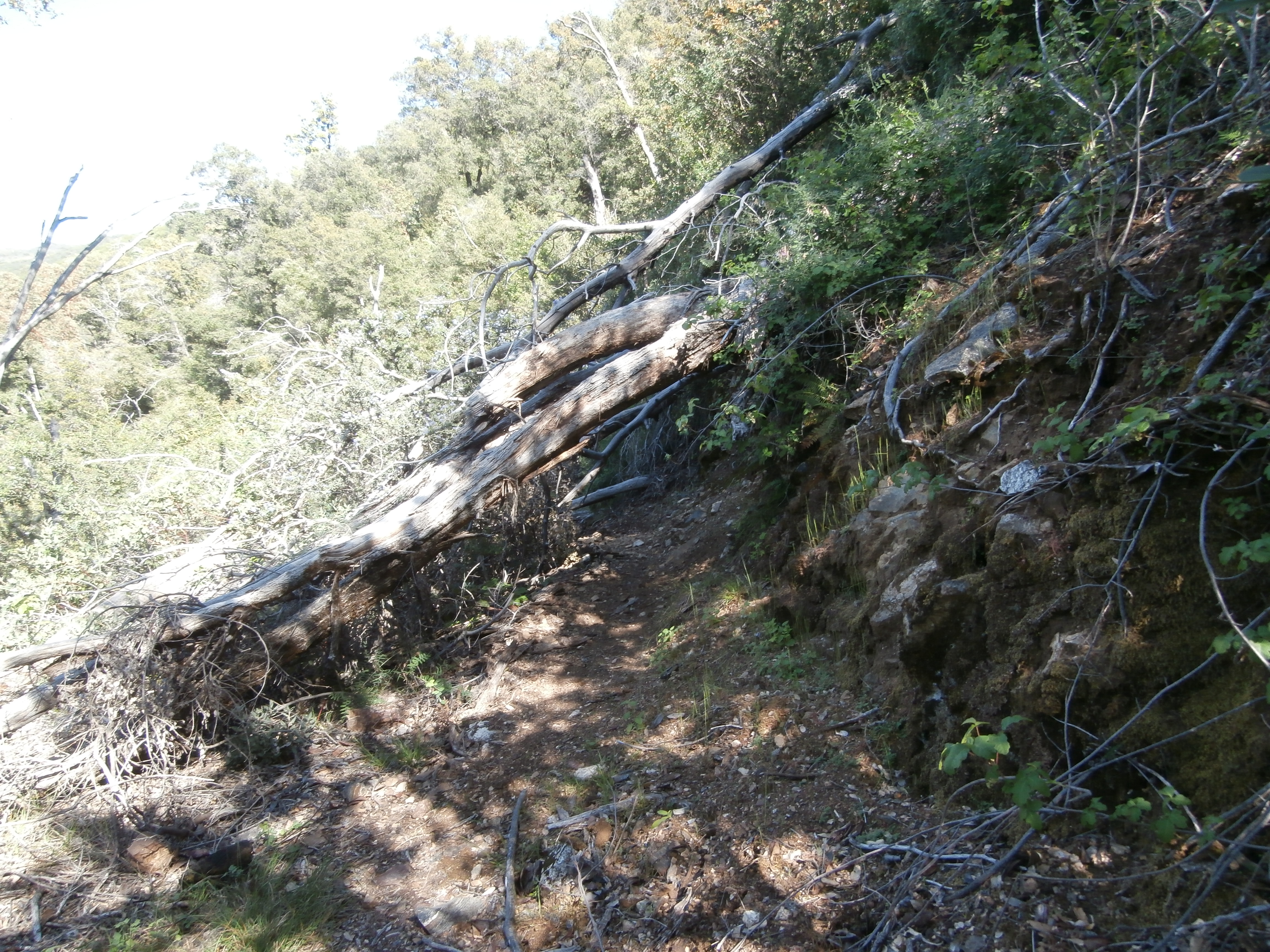
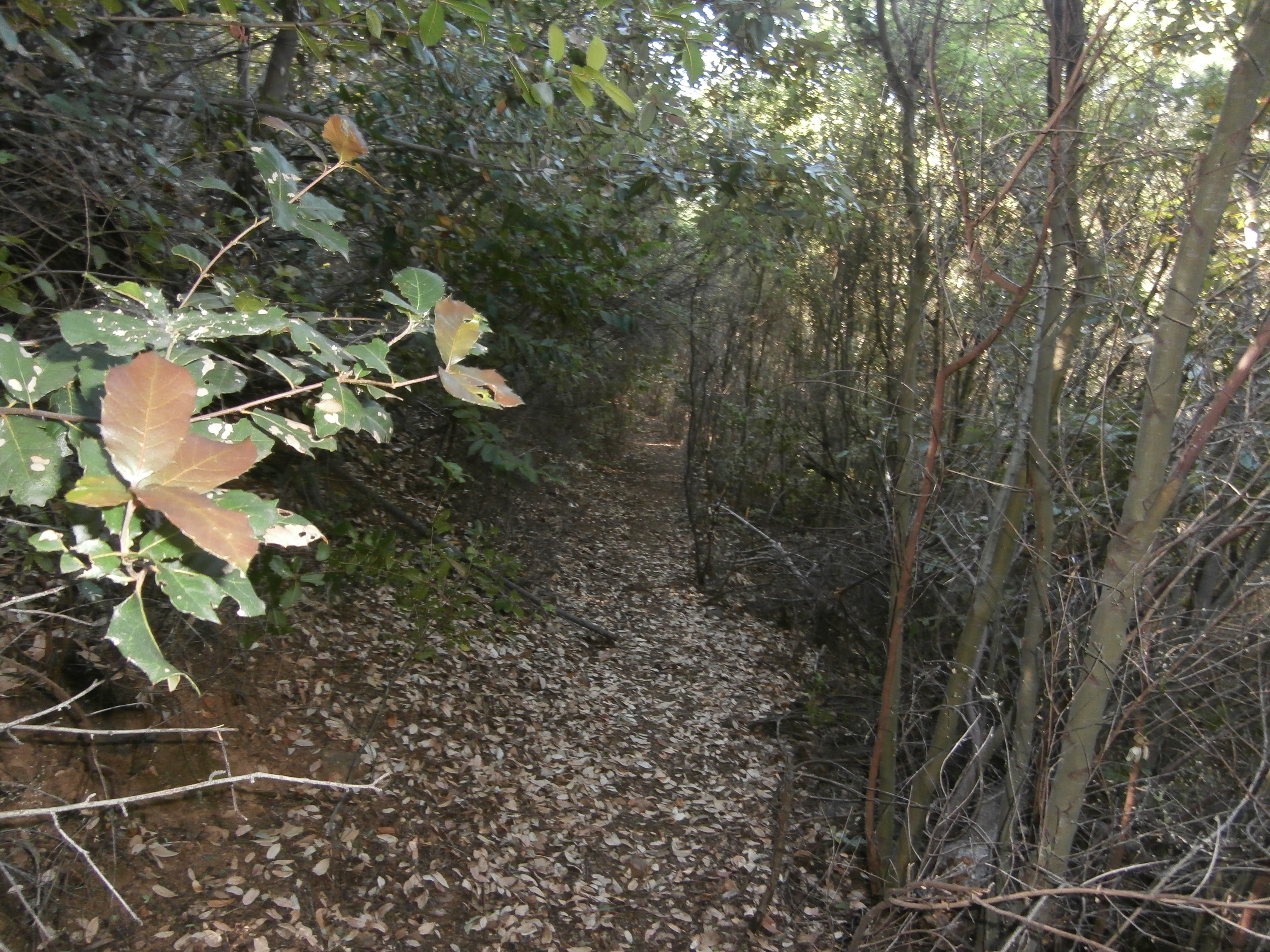
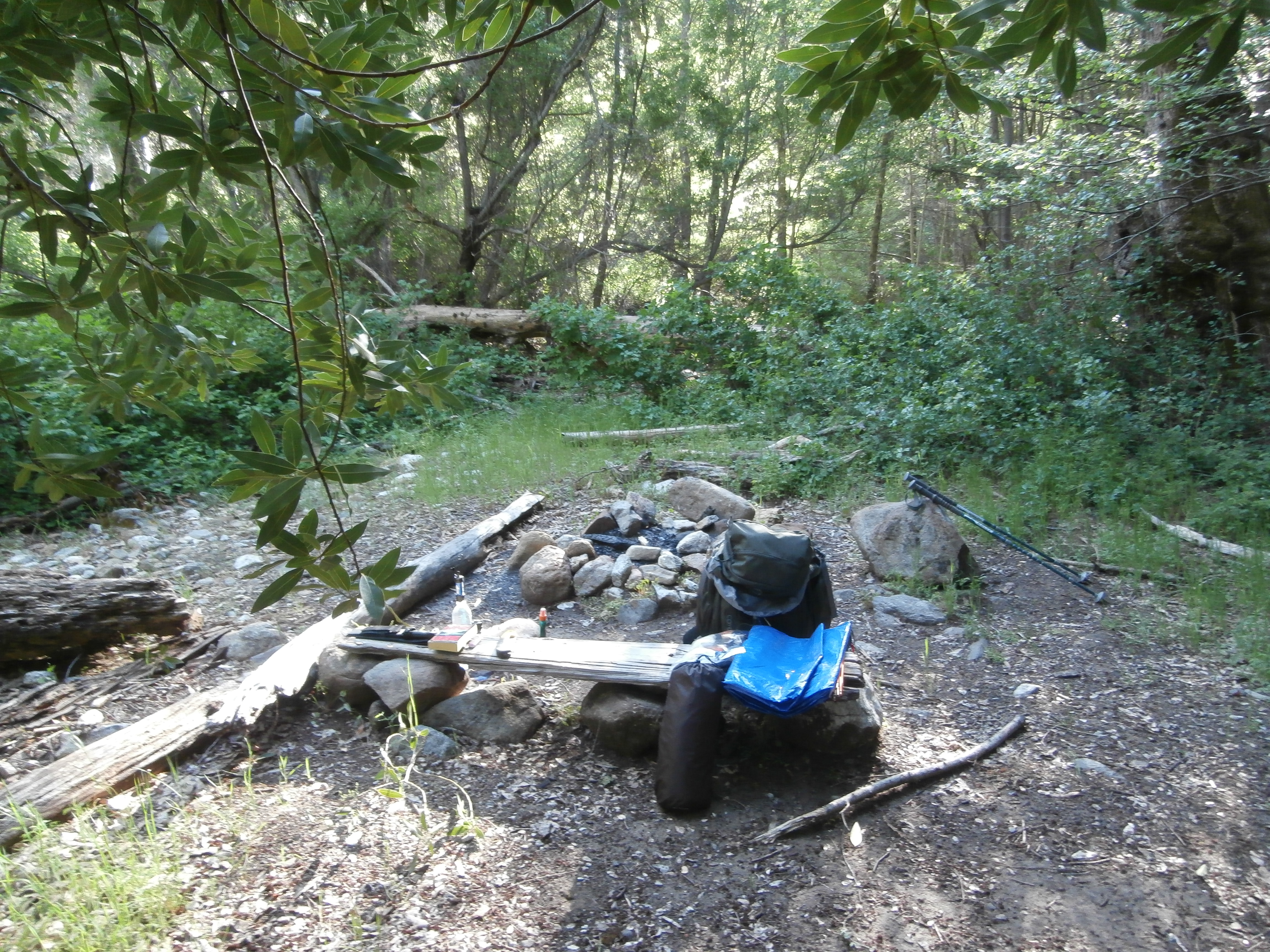
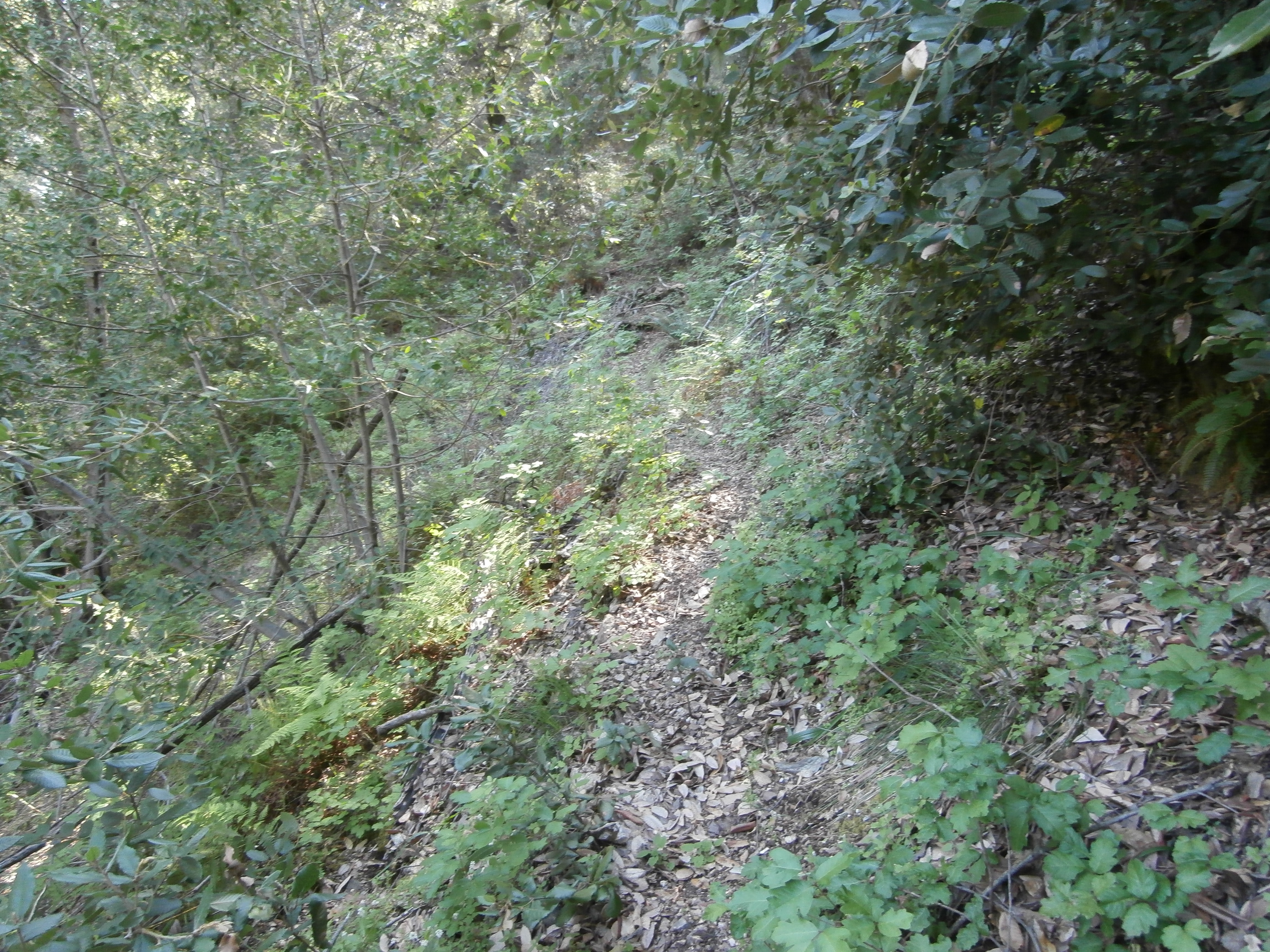
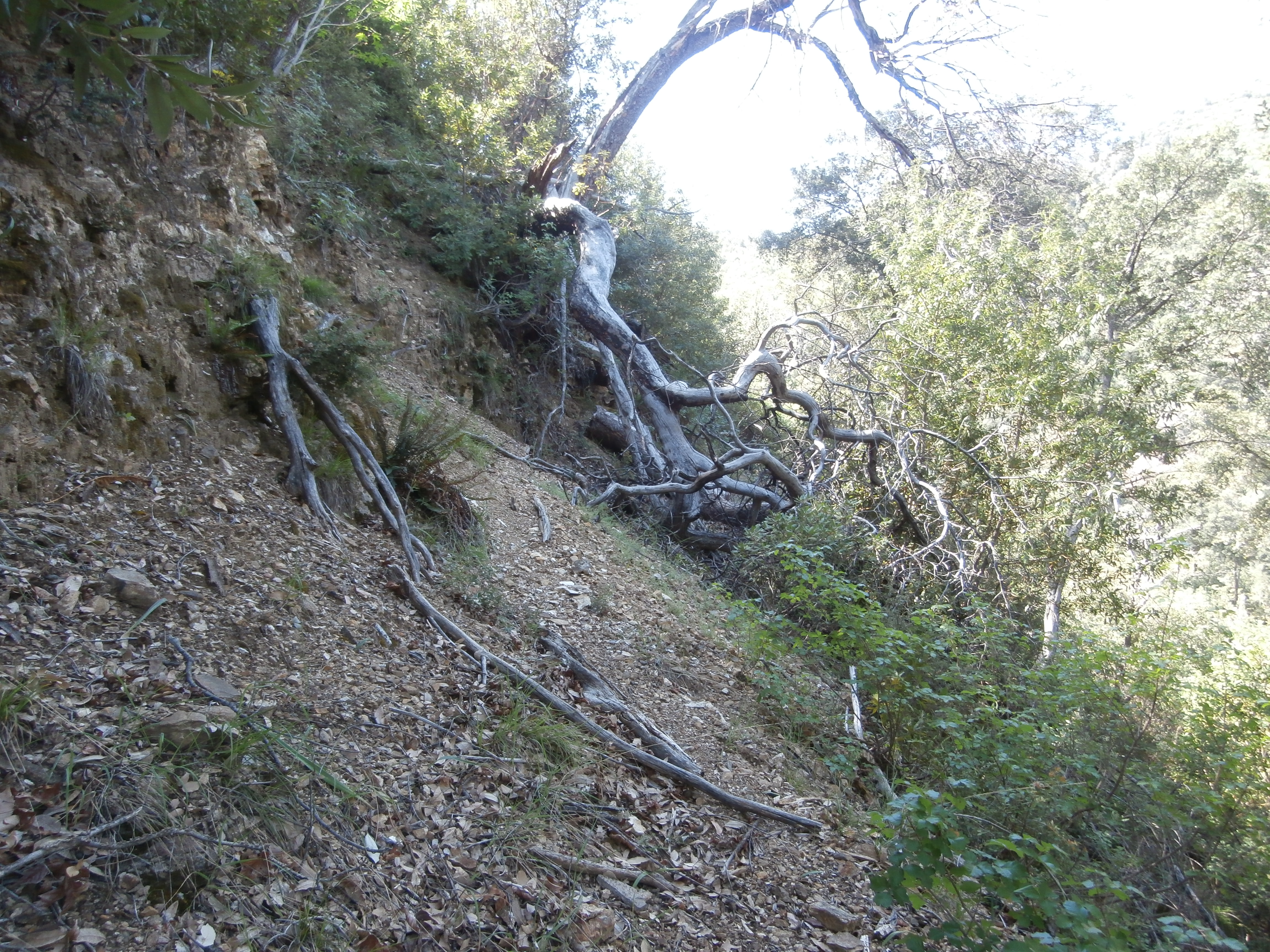
| Trail description: | I started my backpacking trip on Nacimiento Furguson Rd. I hiked up Cone Peak road and then hit the San Antonio trail down to Fresno Camp which is as far as I made it. This trail has not been used much in years and it was quite the adventure. It was completely overgrown and covered with poison oak and blowdowns. Lots of climbing under and over dead trees and even bushwhacking through poison oak almost the entire mile and a half down this trail to Fresno Camp. The trail completely disappeared when I got down to the camp. I found two old campsites at Fresno Camp and there was still water flowing in the San Antonio river. The camp was pretty cool though since I was looking for solitude and this was definitely the place. However, I would not recommend this trail unless you are looking for a challenge and if you want to go further on to San Antonio camp, good luck because I couldn't find the trail. |
| Mode of transport: | Hike |
| Trail condition: | Hard to follow |
| Condition details: | Seldom used trail. Poor quality. |
| Images: | One of many blowdowns Overgrown trail Campsite Lots of poison oak More poor trail conditions |
 Survey / Report Form - Please click this box to open the form.