Welcome To Hike Los Padres!
User Log In or Sign Up
Use Marker Cluster
Markers: Use Marker Groups
Time used: ms
Routes
    Trails
    OHV Trails
    Forest Roads
    Streams
Wildfire Layers
    Wolf 2002
    Piru 2003
    Day 2006
    Zaca 2007
    Gap 2008
    La Brea 2009
Forest Layers
    Forest Boundary
    Wilderness Areas
    Ranger Districts
    Counties
    Topographic Outlines
    Trailheads
    OHV Trailheads
Helpful Hints
    ↣ Right click the map for location data. ↣ Click a stream for Water Stats.

Bull Ridge Trail - Los Padres National Forest
Trail Distance 6.34 Miles

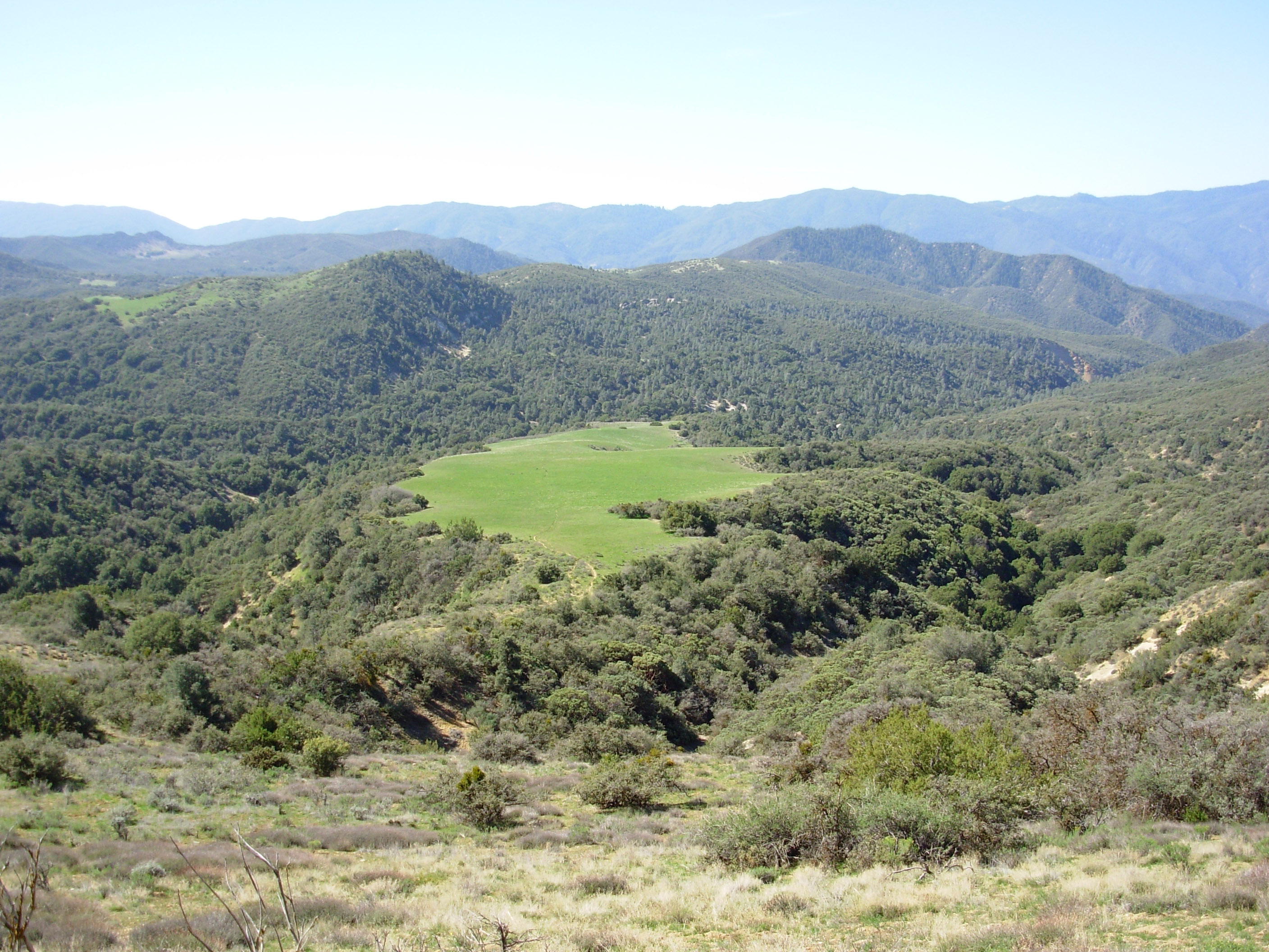
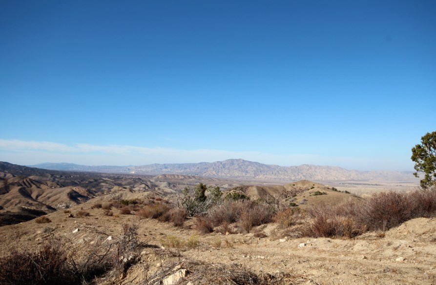
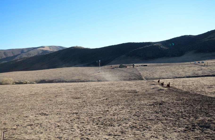
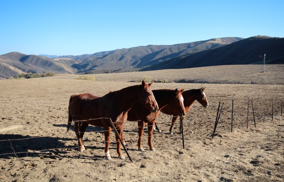
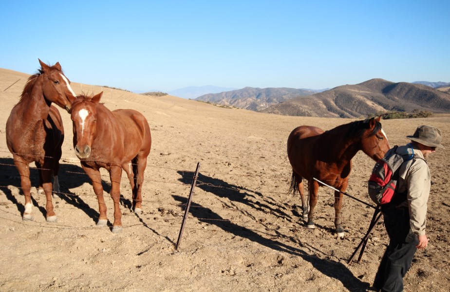
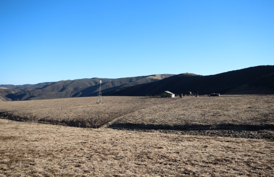
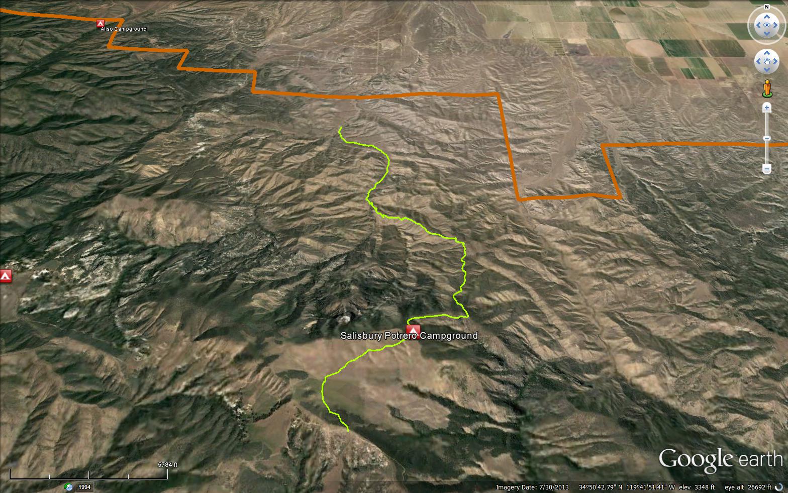
The Bull Ridge Trail climbs up to Salisbury Potrero Campground, just after the camp the trial intersects with the Salisbury Canyon Trail, the trail then leads out of the potrero and up to the Sierra Madre Road (32S13).

Trail Details

  • Trail #: 26W01
  • Wilderness Area: Non Wilderness Area
  • County: Santa Barbara County
  • Ranger District: Mt. Pinos Ranger District
  • Trail-head Latitude: 34.8754673179591
  • Trail-head Longitude: -119.70810413360596
  • Water Sources: No Water Available
  • Trail Condition: Kind of Good - Little to no bushwacking and easily followable
  • Topo Maps:
  • Activities & Features:
    • Backpacking
    • Day Hiking
    • Panoramic Views
    • Wildlife Viewing
    • Wilderness Camping


Trail Stats

  • Total Elevation Gain: + 3016 feet.
  • Total Elevation Loss: - 708 feet.
  • Overall Average Slope Gain: + 11 %.
  • Overall Average Slope Loss: - 6 %.
  • Kilometers: (km)
  • Meters: (m)
  • Miles: (mi)
  • Feet: (ft)
  • Average Slope: (%)

Trail Camps

Photo: J. Ziegler
Upload Images Aerial Overview Image Login to Download GPS File
Survey This Trail

Survey Photos:


  • M. Jones - 04-01-2007

Gallery:

Submitted Trail Reports

Bull Ridge Trail Survey - 03-26-2016 - by C Contreras
Link: Bull Ridge Trail
Date: 03-26-2016
Surveyor Name:C Contreras
Mode of transport:Hike
Trail condition:Non existent
Condition details:Trailheads have been closed off due to land purchase by petroleum company
Bull Ridge Trail Survey - 04-01-2007 - by M. Jones
Link: Bull Ridge Trail
Date: 04-01-2007
Surveyor Name:M. Jones
Trail description:Just stopped to take a picture
Mode of transport:Bicycle
Trail condition:Good shape and easy to follow
Images:

View south of Rattlesnake Potrero from Sierra Madre Road and Bull Ridge Trail


Leave A Trail Report

Survey / Report Form - Please click this box to open the form.


Last Updated: Tuesday, March 1, 2016


Join Mailing List
×
Get updates on conditions, surveys and more...


Current Weather »


L.P.N.F. Contacts »

  • Forest Headquarters
    Phone: (805) 968-6640
  • Mt. Pinos District
    Phone: (661) 245-3731
  • Ojai Ranger District
    Phone: (805) 646-4348
  • Santa Barbara District
    Phone: (805) 967-3481
  • Santa Lucia District
    Phone: (805) 925-9538
  • Monterey District
    Phone: (831) 385-5434