 Use Marker Groups
 Wolf 2002
Piru 2003
Day 2006
Zaca 2007
Gap 2008
La Brea 2009

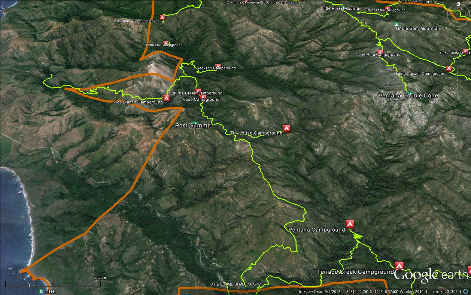
The Mt Manuel Trail is a scenic 7.96 mile trail in the Silver Peak Wilderness in Monterey County . The trail connects the Pfeiffer Big Sur Road and the Little Sur Trail (1E03). Please let us know if you have explored this trail recently.


 Mt Manuel Trail Survey - 02-04-2026 - by Liz St. Andre and Randal Jackson
| Link: | Mt Manuel Trail |
| Date: | 02-04-2026 |
| Surveyor Name: | Liz St. Andre and Randal Jackson |
| Trail description: | Great hike for February, 2026. The lower section is in excellent shape but has very little shade, so be prepared. Even though the temperature was only 70 degrees, it was very hot hiking the exposed sections and we were thankful for shady spots along the way. The clouds rolled in later on and made the remainder of the hike quite pleasant. The grade is not difficult but the hike is long, especially because we took breaks in the shade to keep ourselves cool. We started at 9 am and returned by 5pm and had no trouble following the trail. Someone had definitely been working on the upper sections of the trail-THANK YOU! There are beautiful forested sections along the way and amazing views of the back country as you approach the top. Look for condors and golden eagles when you get up there. We definitely saw a pair of eagles and also may have seen some condors but could not get a positive ID. Bring lots of water and hike this on a cool, cloudy day! |
| Mode of transport: | Hike |
| Trail condition: | Needs some work |
| Condition details: | Lower 3 miles are in great shape. Upper portion is still easy to follow but could use a brush up and some tread work. |
| Images: | Trail Exposed Trail Trail in forested area Mt. Manuel taked from the "false peak"-trail is more brushy for the final ascent View from atop Mt. Manuel |
Mt Manuel Trail Survey - 02-22-2018 - by Los Padres Forest Association| Link: | Mt Manuel Trail |
| Date: | 02-22-2018 |
| Surveyor Name: | Los Padres Forest Association |
| Trail description: | Trail crews have worked the Mt Manuel Trail coming up from Pfeiffer State Park into the LP. The trail is open and passable for a ways. We are unsure where that 'ways' turns into 'STOP GO BACK'. |
| Mode of transport: | Hike |
| Trail condition: | Needs some work |
 Survey / Report Form - Please click this box to open the form.