 Use Marker Groups
 Wolf 2002
Piru 2003
Day 2006
Zaca 2007
Gap 2008
La Brea 2009

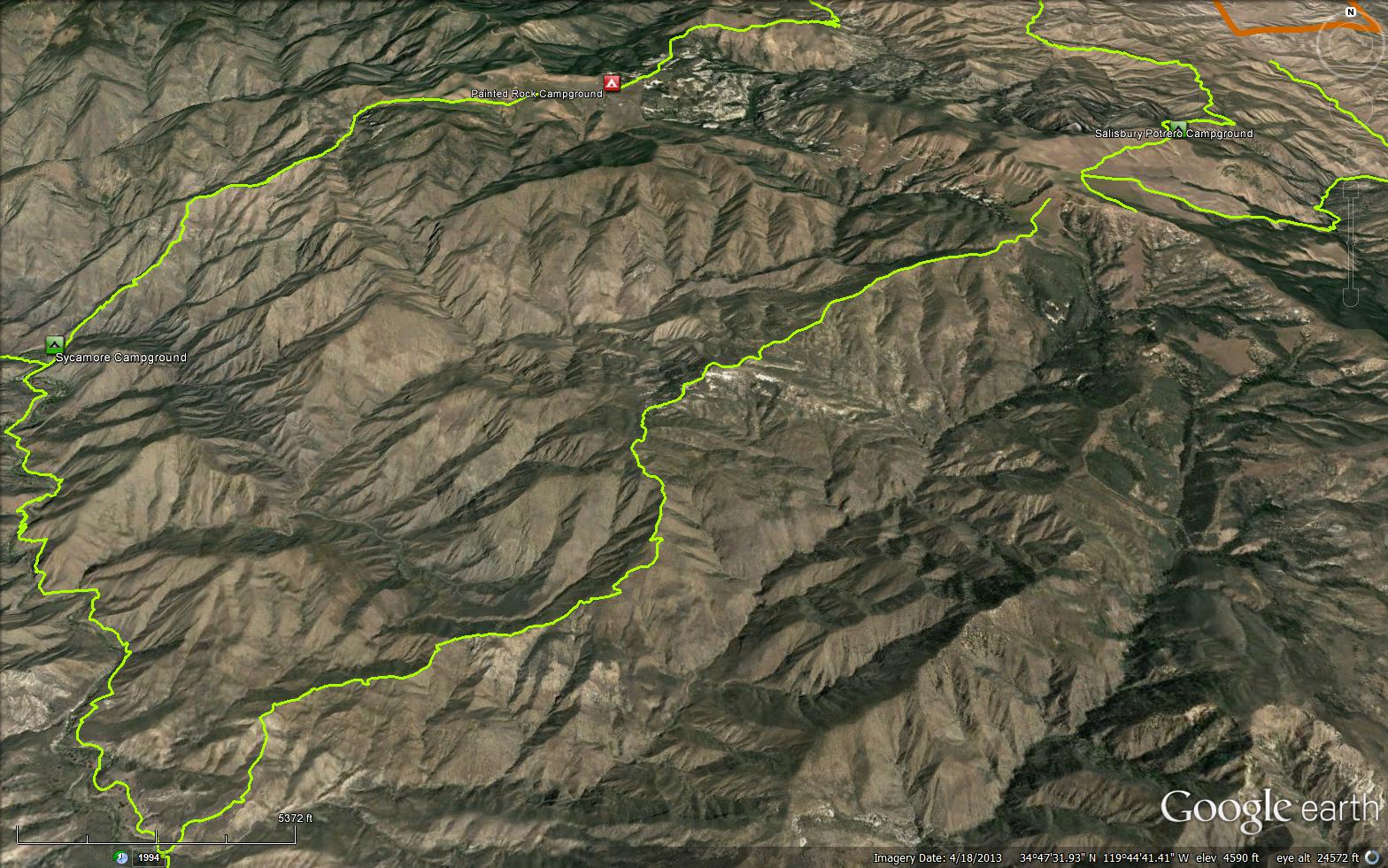
The Sweetwater Trail is a 6.76 mile trail in the San Rafael Wilderness in Santa Barbara County. The trail connects the Sierra Madre Road to the Sisquoc Trail (30W12). Sweetwater Canyon was so named because the creek water does not contain alkali like some of the other creeks in the area. The trail is an old Native American trail used by the Chumash to travel from the Cuyama Valley, over the Sierra Madre Mountains, down the Sisquoc River and on to the Manzana Creek area. It was later used by the Cuyama Valley residents to come fishing on the Sisquoc and by the Forest Rangers on patrol. Please share any current conditions for this trail.


 Sweetwater Trail Survey - 05-01-2026 - by Erin Carroll
| Link: | Sweetwater Trail |
| Date: | 05-01-2026 |
| Surveyor Name: | Erin Carroll |
| Trail description: | Hiked Sweetwater from Sierra Madre Road and then hiked back up in the same day. Pretty hard hike as an out and back. There is no water (and barely any shade) on this trail until you reach the bottom of the trail, where Sweetwater Creek meets the Sisquoc River. Don't hike this trail on a hot day. It looked like no one had hiked this trail for quite some time. I saw no footprints on the trail at all. I saw 2 snakes on the trail, but neither was a rattlesnake. For how remote this trail is, it is in pretty good shape, but the grasses, star thistle and some chapparal could use some brushing. The area that needs the most brushing is about 2 miles uphill from the Sweetwater/Sisquoc trail intersection. The trail gets a little confusing there and it needs better definition. |
| Mode of transport: | Hike |
| Trail condition: | Needs some work |
| Condition details: | Rugged trail but pretty easy to follow |
| Images: | |
Sweetwater Trail Survey - 04-12-2025 - by Antonio Calderon| Link: | Sweetwater Trail |
| Date: | 04-12-2025 |
| Surveyor Name: | Antonio Calderon |
| Trail description: | Pretty much smooth sailing from sierra madre ridge road to south fork station. Great trail. Good time to get out there. |
| Mode of transport: | Hike |
| Trail condition: | Good shape and easy to follow |
| Images: | |
Sweetwater Trail Survey - 04-06-2025 - by Dave Bourgeois| Link: | Sweetwater Trail |
| Date: | 04-06-2025 |
| Surveyor Name: | Dave Bourgeois |
| Trail description: | Trail has been recently maintained by LPFA, and it's in great shape overall. There's a mile in the middle which still needs work, but even that section is easy to follow and not too overgrown. |
| Mode of transport: | Hike |
| Trail condition: | Good shape and easy to follow |
Sweetwater Trail Survey - 03-17-2024 - by Anonymous Surveyor| Link: | Sweetwater Trail |
| Date: | 03-17-2024 |
| Surveyor Name: | Anonymous Surveyor |
| Trail description: | The lower portion coming up from Sweetwater creek is pretty faint and occasionally overgrown. The upper portion on the ridge is pretty wide and well maintained. There is no water other than Sweetwater creek at the very beginning and very little shade. |
| Mode of transport: | Hike |
| Trail condition: | Needs some work |
| Images: | |
Sweetwater Trail Survey - 02-18-2022 - by Daniel Feinberg| Link: | Sweetwater Trail |
| Date: | 02-18-2022 |
| Surveyor Name: | Daniel Feinberg |
| Trail description: | Brushed from TH on road to the smoking rocks |
| Mode of transport: | Hike |
| Trail condition: | Good shape and easy to follow |
Sweetwater Trail Survey - 10-02-2017 - by Anonymous Surveyor| Link: | Sweetwater Trail |
| Date: | 10-02-2017 |
| Surveyor Name: | Anonymous Surveyor |
| Trail description: | Sweetwater trail is exposed with little shelter from wind or sun. Bring extra water since there is none on this trail.  |
| Mode of transport: | Hike |
| Trail condition: | Needs some work |
| Condition details: | Trail is easy to follow in most places. Needs some brush cleared, but footing is good. |
Sweetwater Trail Survey - 04-07-2016 - by Tom Plymale| Link: | Sweetwater Trail |
| Date: | 04-07-2016 |
| Surveyor Name: | Tom Plymale |
| Trail description: | From the trailhead at Sierra Madre past Smoking Rocks the trail is in pretty good shape and could use some brushing and tread work in spots. When you descend from the  high point  to the river  is where the worst sections are due to failed tread and clogged drains. There are  numerous areas where there is exposed rock and the  trail narrows to chutes which could be dangerous for stock. The lower section took a terrible beating last summer during the strong storms. There is no water along this trail. |
| Mode of transport: | Hike |
| Trail condition: | Needs some work |
 Survey / Report Form - Please click this box to open the form.