Welcome To Hike Los Padres!
User Log In or Sign Up
Use Marker Cluster
Markers: Use Marker Groups
Time used: ms
Routes
    Trails
    OHV Trails
    Forest Roads
    Streams
Wildfire Layers
    Wolf 2002
    Piru 2003
    Day 2006
    Zaca 2007
    Gap 2008
    La Brea 2009
Forest Layers
    Forest Boundary
    Wilderness Areas
    Ranger Districts
    Counties
    Topographic Outlines
    Trailheads
    OHV Trailheads
Helpful Hints
    ↣ Right click the map for location data. ↣ Click a stream for Water Stats.

Pine Mountain Trail - Los Padres National Forest
Trail Distance 6.80 Miles

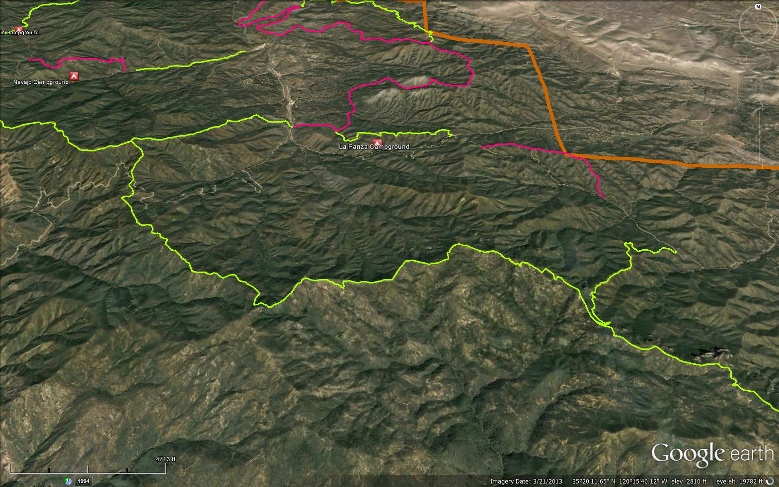
The Pine Mountain Trail is a 6.80 mile trail in San Luis Obispo County . The trail connects the Las Chichis Trail (16E02) and Forest Road (29S18).

Trail Details

  • Wilderness Area: Non Wilderness Area
  • County: San Luis Obispo County
  • Ranger District: Santa Lucia Ranger District
  • Trail-head Latitude: 35.33669
  • Trail-head Longitude: -120.22626
  • Trail Condition: Kind of Good - Little to no bushwacking and easily followable
  • Topo Maps:
      Pozo SummitLa Panza
  • `` `` `` `` `` Activities & Features:
    • Day Hiking
    • Mountain Biking
    • Panoramic Views
    • Peak
    • Wildlife Viewing


Trail Stats

  • Total Elevation Gain: + 2055 feet.
  • Total Elevation Loss: - 1809 feet.
  • Overall Average Slope Gain: + 10 %.
  • Overall Average Slope Loss: - 9 %.
  • Kilometers: (km)
  • Meters: (m)
  • Miles: (mi)
  • Feet: (ft)
  • Average Slope: (%)
Upload Images Aerial Overview Image Login to Download GPS File
Survey This Trail

Survey Photos:


  • Anonymous Surveyor - 05-22-2026

  • Anonymous Surveyor - 05-22-2026

  • Anonymous Surveyor - 05-22-2026

Submitted Trail Reports

Pine Mountain Trail Survey - 05-22-2026 - by Anonymous Surveyor
Link: Pine Mountain Trail
Date: 05-22-2026
Surveyor Name:Anonymous Surveyor
Trail description:I began from 29S18 (labelled on some maps as an extension of Pine Mountain Rd and some maps as Queen Bee Rd). I drove up 29S18 from Pozo Rd in a 2wd vehicle easily, and probably could have continued driving up the first couple miles of Pine Mtn Trail to Castle Crags Trail. I split off at Castle Crags Trail, but ran into 2 dirt bikers heading up the other way toward Las Chiches. No water on the route, expect temperatures to be similar or higher than the forecast in Pozo. There is a register for the trail at (35.32599, -120.23948) that is sorely in need of a new notebook. If you're into geology, you'll love the views from this trail - it looks like Pinnacles NP from afar but up close you can see all the details in the sedimentary conglomerates and the wind erosion has created some interesting layering effects. See my review for Castle Crags Trail as well.


Mode of transport:Array
Trail condition:Good shape and easy to follow
Images:


Leave A Trail Report

Survey / Report Form - Please click this box to open the form.


Last Updated: Wednesday, February 24, 2016


Join Mailing List
×
Get updates on conditions, surveys and more...


Current Weather »


L.P.N.F. Contacts »

  • Forest Headquarters
    Phone: (805) 968-6640
  • Mt. Pinos District
    Phone: (661) 245-3731
  • Ojai Ranger District
    Phone: (805) 646-4348
  • Santa Barbara District
    Phone: (805) 967-3481
  • Santa Lucia District
    Phone: (805) 925-9538
  • Monterey District
    Phone: (831) 385-5434