 Use Marker Groups
 Wolf 2002
Piru 2003
Day 2006
Zaca 2007
Gap 2008
La Brea 2009

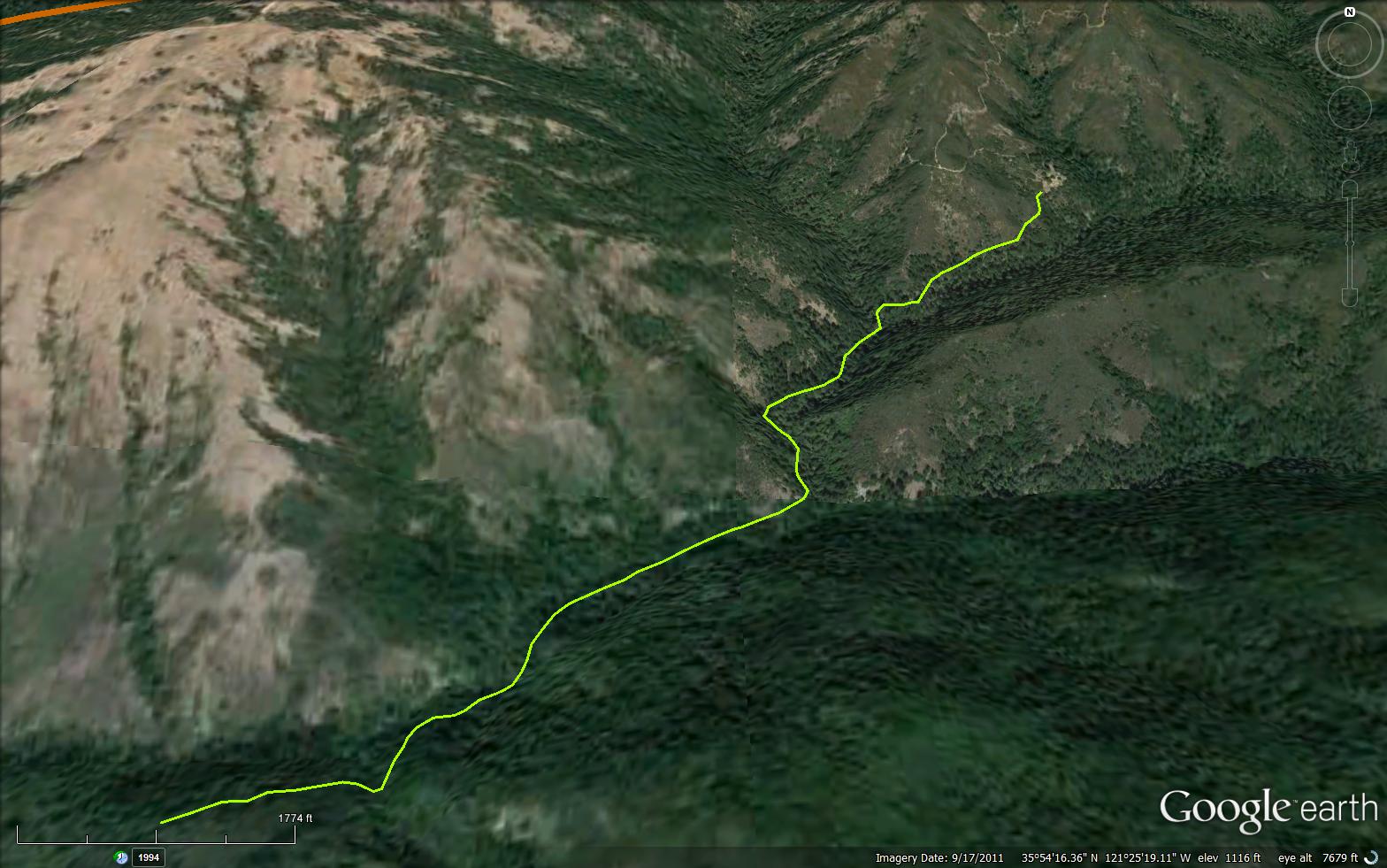
The Willow Creek Trail is a scenic 1.98 mile trail in the Silver Peak Wilderness in Monterey County .
 Willow Creek Trail Survey - 06-29-2017 - by Los Padres Forest Association
| Link: | Willow Creek Trail |
| Date: | 06-29-2017 |
| Surveyor Name: | Los Padres Forest Association |
| Trail description: | Recent article from the Monterey County Weekly about the Willow Creek Trail. Â Note that bicycles within wilderness is illegal: http://www.montereycountyweekly.com/people/831/a-mountain-biking-trip-in-the-big-sur-backcountry-turns/article_4c3c74f2-5b94-11e7-8e79-e327ca5f157a.html |
| Mode of transport: | Array |
| Trail condition: | Hard to follow |
Willow Creek Trail Survey - 06-30-2017 - by Anonymous Surveyor| Link: | Willow Creek Trail |
| Date: | 06-30-2017 |
| Surveyor Name: | Anonymous Surveyor |
| Trail description: | At one point along the Kinder mine road there is an obvious fork. I believe the right fork goes to the actual mine and the left fork (when coming from the top of coast road) goes to the homestead. Â The homestead is in an idyllic location, Â a flat meadowy area bordered by redwood trees on one side. Â The plumbing at the homestead seems to be still working, though it ran brown for a while before clearing up. Â We did not have time to investigate either the mine site or the whearabouts of the spring suplying water to the homestead. Â Â Finding the willow creek trail from the homestead to the willow creek camp proved to be very difficult. Â We failed and ended up walking down the willow creek until the 1st major tributary entering from the north. Â We ascended just left (west) of this tributary to find the trail about 200ft above Willow creek, then followed that to Willow creek camp and to Willow creek road. |
| Mode of transport: | Hike |
| Trail condition: | Hard to follow |
| Condition details: | We proceeded from the south-coast-ridge road down the old Kinder Mine road. This road has a lot of brush encroaching on it. |
Willow Creek Trail Survey - 11-29-2015 - by Frank Kehl| Link: | Willow Creek Trail |
| Date: | 11-29-2015 |
| Surveyor Name: | Frank Kehl |
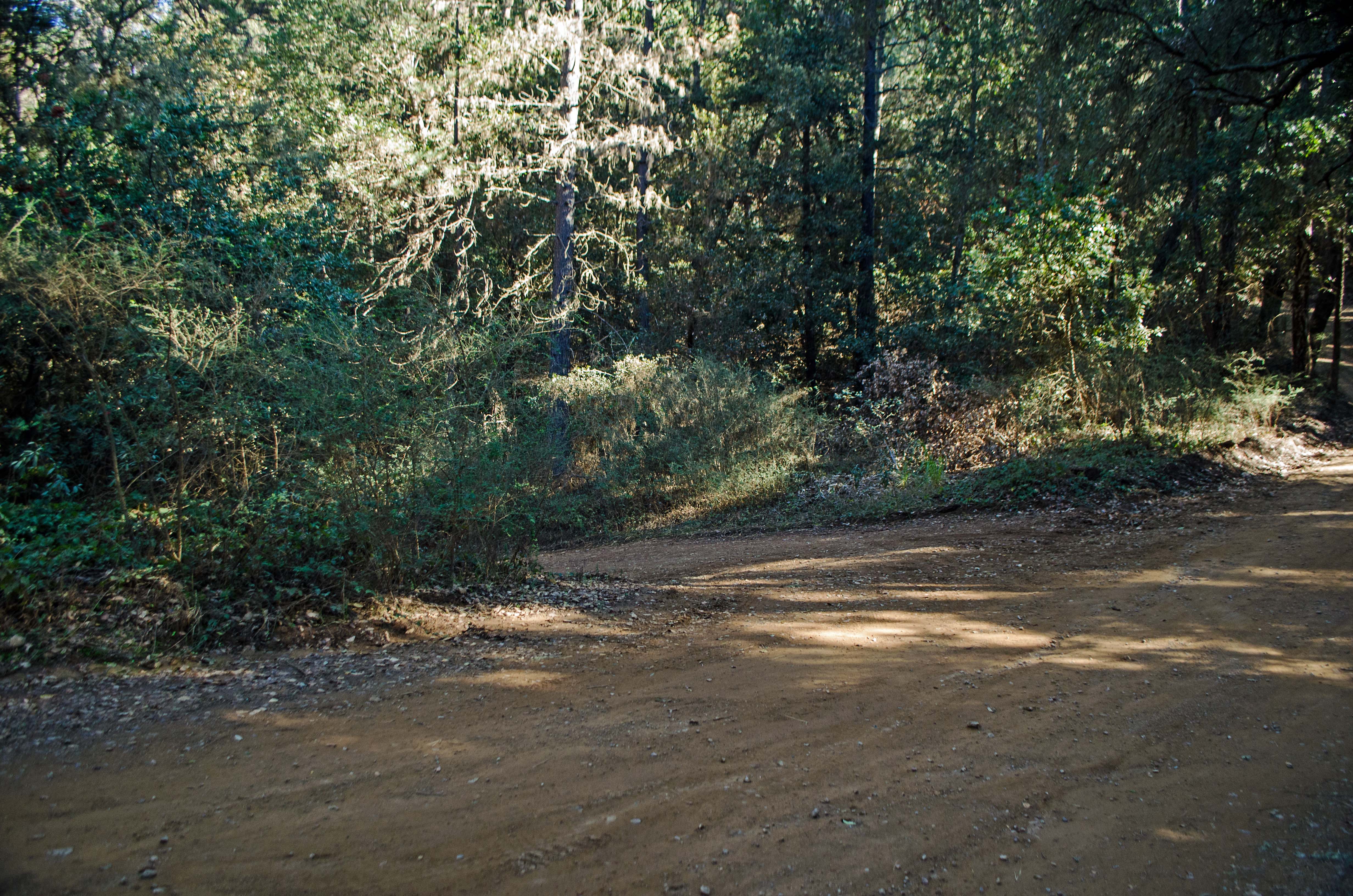
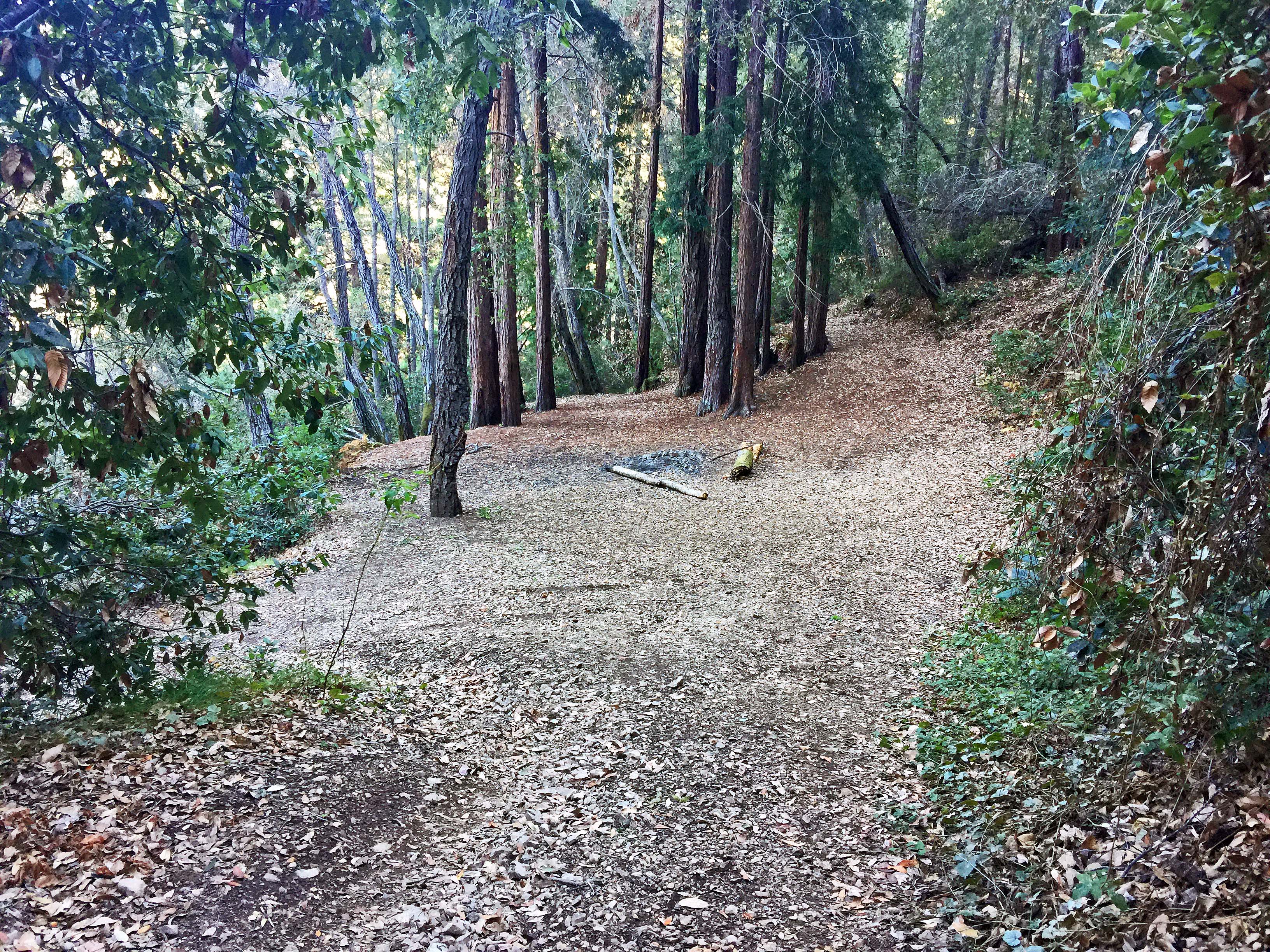
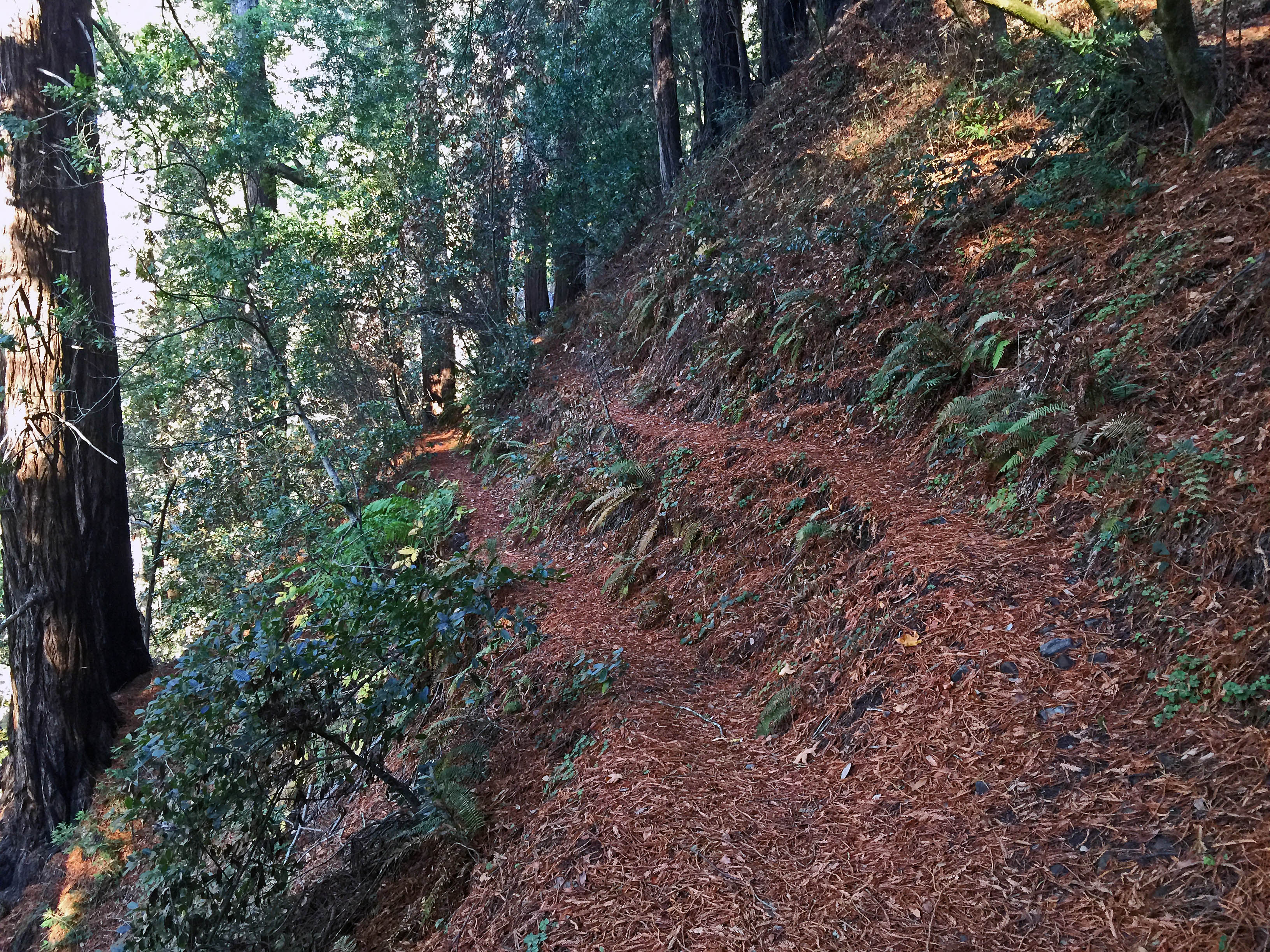
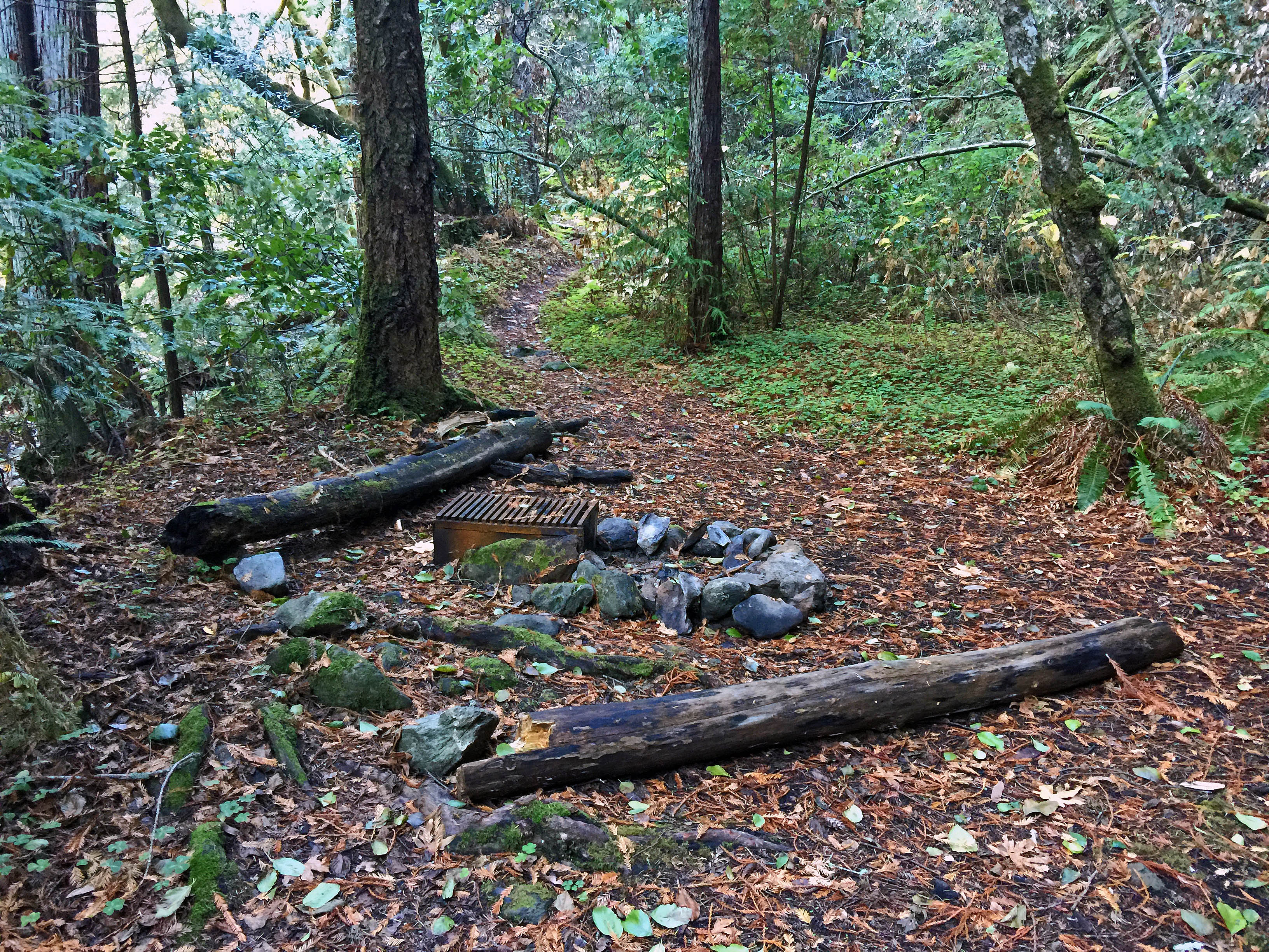
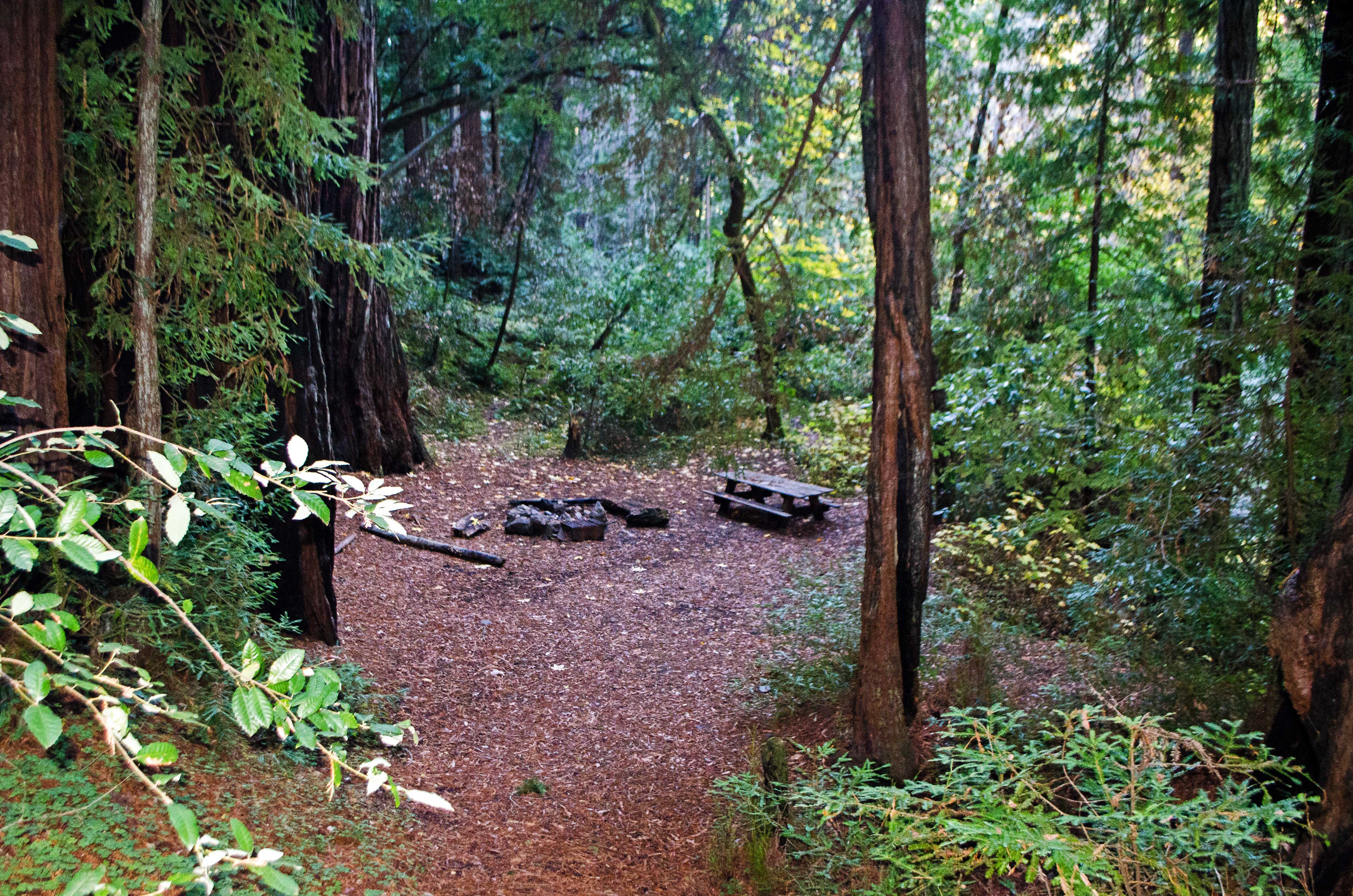
| Trail description: | We hiked down from the trailhead on Los Burros Road. The trailhead is unmarked, but fairly easy to find. The trail starts out as an old road which gradually deteriorates before switching to singletrack at the Silver Peak Wilderness boundary. There are no signs along the trail, but the junctions are easy to find. The trail itself is in great shape all the way to the second campsite along Willow Creek, where we turned around. There is plenty of water in Willow Creek. The old swinging bridge on Willow Creek is completely gone. The two campsites along Willow Creek are in great shape and seem to get a fair amount of use. Both sites have a grill and fire pit. Campsite #2 also has a picnic table, but it's pretty dilapidated. |
| Mode of transport: | Hike |
| Trail condition: | Good shape and easy to follow |
| Images: | Unmarked start of the trail on Los Burros Road. End of the old road and start of single-track trail near the wilderness boundary. Trail split: main trail on the right. The left branch goes down to the old swinging bridge site. Willow Creek Camp #1. Willow Creek Camp #2. |
 Survey / Report Form - Please click this box to open the form.