 Use Marker Groups
 Wolf 2002
Piru 2003
Day 2006
Zaca 2007
Gap 2008
La Brea 2009

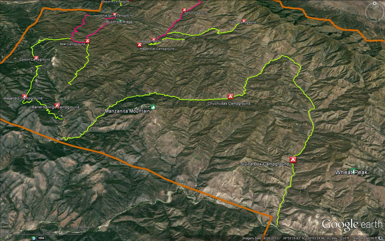
The Horse Canyon Labrea Trail is a scenic 23.1 mile trail in the San Rafael Wilderness in Santa Barbara County County. The trail connects the La Brea Canyon. OHV Raod (10N06.1) and the 3 trails junction at the Manzana Schoolhouse. The three trails are the Sisquoc Trail (30W12), the Hurricane Deck Trail (30W14), and the Manzana Trail (30W13).


 Horse Canyon Labrea Trail Survey - 05-25-2017 - by Mike Maki
| Link: | Horse Canyon Labrea Trail |
| Date: | 05-25-2017 |
| Surveyor Name: | Mike Maki |
| Trail description: | This is only for the Horse Canyon and upper La Brea Creek down to Hiawatha. This was part of a Condor Trail section hike. I found the route up Horse Canyon easy, but it was in the creek, thus wet feet. The upper section of Horse Canyon was easy enough to cross-country navigate but there was no trail I could find. Same with going down to La Brea. |
| Mode of transport: | Hike |
| Trail condition: | Hard to follow |
| Condition details: | Unless you consider walking in the creek easy to follow I could not find any traces of a trail |
| Images: | Up the creek Upper end Horse Canyon La Brea Creek |
Horse Canyon Labrea Trail Survey - 05-14-2016 - by Los Padres Forest Association| Link: | Horse Canyon Labrea Trail |
| Date: | 05-14-2016 |
| Surveyor Name: | Los Padres Forest Association |
| Trail description: | Trail from the Sisquoc is really nice up Horse Canyon but quickly disappears as you head towards Roque. Â There was water at just about all the canyon crossings. Report from FROG the Condor Trail thru-hiker |
| Mode of transport: | Array |
| Trail condition: | Non existent |
 Survey / Report Form - Please click this box to open the form.