 Use Marker Groups
 Wolf 2002
Piru 2003
Day 2006
Zaca 2007
Gap 2008
La Brea 2009

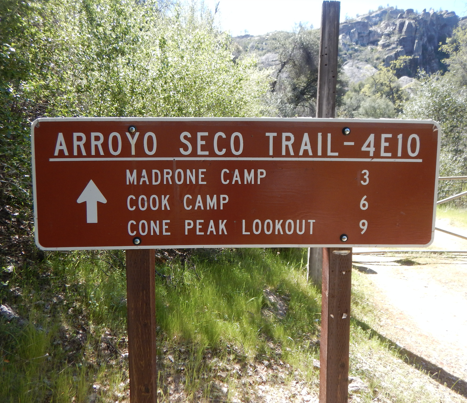
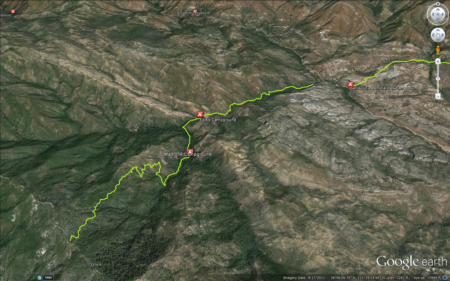
The Arroyo Seco Trail is located in the Ventana Wilderness in Monterey County. A good starting point for this hike is at the Santa Lucia Memorial Park Campground, which has some amazing rock formations. The trail keeps close to the creek as you ascend to the trail junction of Rodeo Flat Trail (4E26), keep left at this junction and continue on up to the last portion of the trail for the final push up to the North Coast Ridge Trail (3E10) and for a spectacular view of the Pacific ocean.


 Arroyo Seco Trail Survey - 03-08-2024 - by Corey
| Link: | Arroyo Seco Trail |
| Date: | 03-08-2024 |
| Surveyor Name: | Corey |
| Trail description: | Trail well maked and easy to find. About 100 yds came across two downed trees, one very hard to cross. The water level is so high the first water crossing was impassible. So beautiful right now, but need to wait until snow melt and the storms calm down. |
| Mode of transport: | Hike |
| Trail condition: | Needs some work |
| Images: | |
Arroyo Seco Trail Survey - 09-03-2018 - by Anonymous Surveyor| Link: | Arroyo Seco Trail |
| Date: | 09-03-2018 |
| Surveyor Name: | Anonymous Surveyor |
| Trail description: | Minor brush and poison oak encroaching on trail to where you can't avoid it. One downed tree crossing. A few places where the trail is eroding away and you have to step carefully to get by. Good flow in creek. |
| Mode of transport: | Hike |
| Trail condition: | Needs some work |
 Survey / Report Form - Please click this box to open the form.