 Use Marker Groups
 Wolf 2002
Piru 2003
Day 2006
Zaca 2007
Gap 2008
La Brea 2009

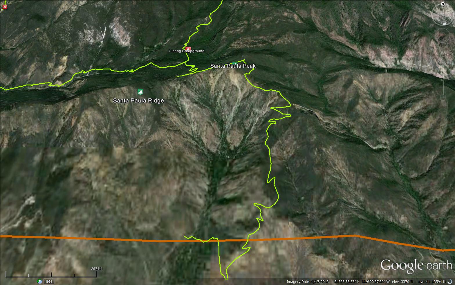
The Santa Paula Peak Trail starts from Cieneg Camp and climbs up to Santa Paula Peak at 4975 feet, at one point in time you were able to access this trail from Fillmore, but due to private property restrictions the only access is from Santa Paula Canyon Trail. Please respect private property and access the peak from the trail head at Thomas Aquinas College. Historically the Santa Paula Canyon was used for timber for the Ventura Mission.


 Santa Paula Peak Trail Survey - 04-07-2019 - by Anonymous Surveyor
| Link: | Santa Paula Peak Trail |
| Date: | 04-07-2019 |
| Surveyor Name: | Anonymous Surveyor |
| Trail description: | Trail has slide out on the back side of santa paula peak. The front side it's still mostly followable via keen observations. Amazing country! |
| Mode of transport: | Hike |
| Trail condition: | Hard to follow |
Santa Paula Peak Trail Survey - 03-31-2019 - by Christopher P. Lord| Link: | Santa Paula Peak Trail |
| Date: | 03-31-2019 |
| Surveyor Name: | Christopher P. Lord |
| Trail description: | Was fortunate enough Sunday to be granted access to the The Santa Paula Peak trail 20W16 Via Timber Canyon. Being that it is on private property and closed to the general public the trail doesn't get much use and is becoming Non existent in many places. However with keen observance can still be followed all the way to the summit. Maybe someday we will see this one opened up again and brought back to life. Further details can be obtained from the link below. |
| Mode of transport: | Hike |
| Trail condition: | Hard to follow |
| Images: | |
 Survey / Report Form - Please click this box to open the form.