 Use Marker Groups
 Wolf 2002
Piru 2003
Day 2006
Zaca 2007
Gap 2008
La Brea 2009

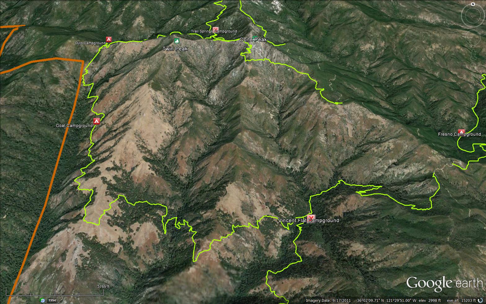
The Stone Ridge Trail is a scenic 7.67 mile trail in the Ventana Wilderness in Monterey County . The trail connects the Gamboa Trail (4E11) to the Kirk Creek Trail (4E17) and the San Antonio Trail (5E04). Please let us know if you have explored this trail recently.
 Stone Ridge Trail Survey - 05-30-2022 - by Joel Bockhahn
| Link: | Stone Ridge Trail |
| Date: | 05-30-2022 |
| Surveyor Name: | Joel Bockhahn |
| Trail description: | The trail to Goat camp was mostly easy to follow, but the trail was soft, lots of deadfall that needed hiking around. There was quite a lot of poison oak on the trail and parts of the trail were overgrown. You could see a lot of damage from the fire, besides the burned trees, the dirt had a lot of ashes in it, so it was very powdery. The trail had some great views and I will certainly be doing it again. Next time with a pair of clippers. |
| Mode of transport: | Hike |
| Trail condition: | Needs some work |
| Condition details: | Trail from Vicente Flats to Goat camp was pretty rough |
Stone Ridge Trail Survey - 02-04-2020 - by Everett Amburn| Link: | Stone Ridge Trail |
| Date: | 02-04-2020 |
| Surveyor Name: | Everett Amburn |
| Trail description: | Few debris in the way climbing up to the final ascent to Goat Camp. Passable. |
| Mode of transport: | Hike |
| Trail condition: | Needs some work |
| Condition details: | Easy to Follow |
 Survey / Report Form - Please click this box to open the form.