Welcome To Hike Los Padres!
User Log In or Sign Up
Use Marker Cluster
Markers: Use Marker Groups
Time used: ms
Routes
    Trails
    OHV Trails
    Forest Roads
    Streams
Wildfire Layers
    Wolf 2002
    Piru 2003
    Day 2006
    Zaca 2007
    Gap 2008
    La Brea 2009
Forest Layers
    Forest Boundary
    Wilderness Areas
    Ranger Districts
    Counties
    Topographic Outlines
    Trailheads
    OHV Trailheads
Helpful Hints
    ↣ Right click the map for location data. ↣ Click a stream for Water Stats.

Yellowjacket OHV Trail - Los Padres National Forest
Trail Distance 0.82 Miles

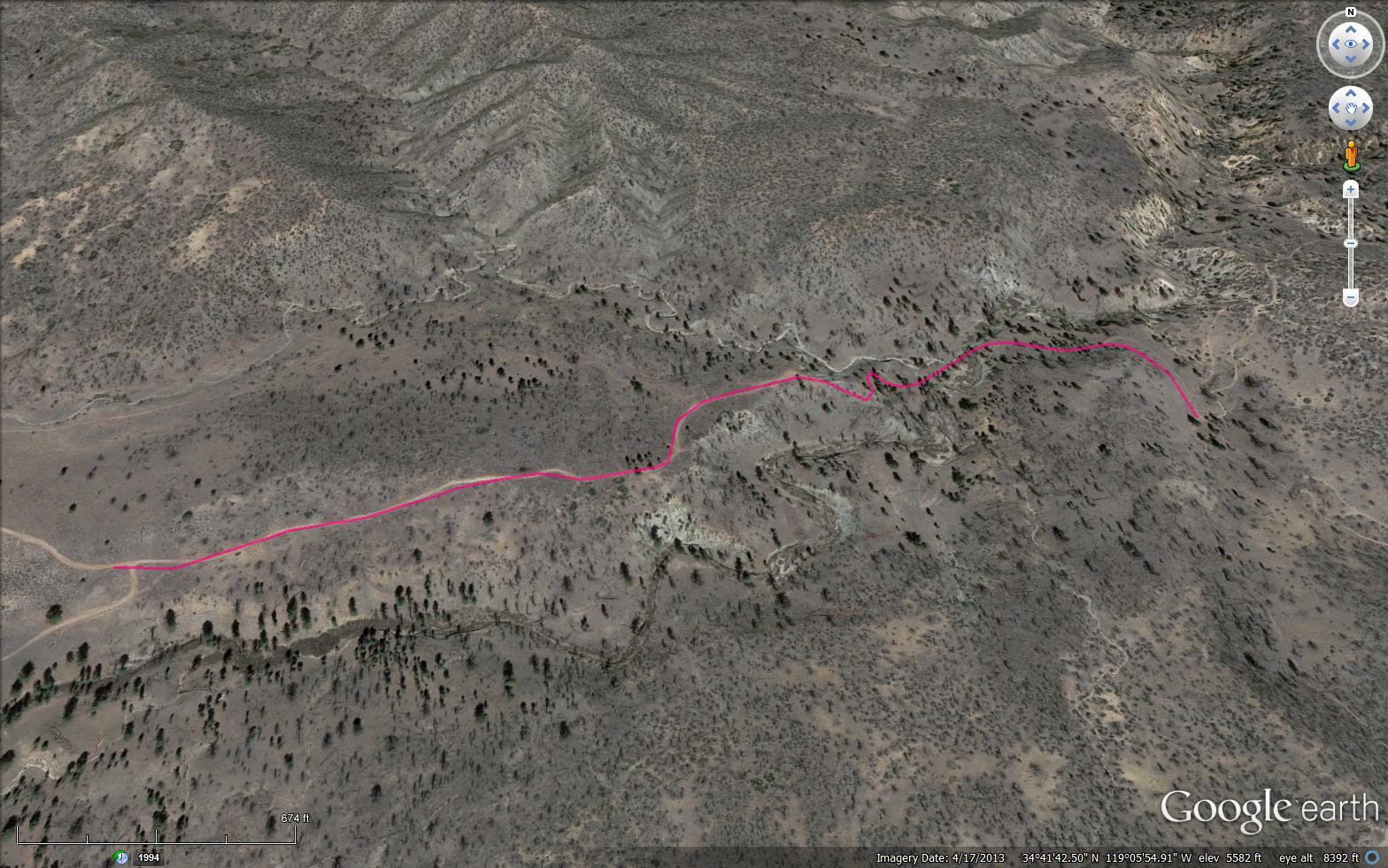
 Rocky four-wheel drive road that passes by several small mead- ows; please stay on the trail. Dead-end route for four- wheel drive, but connects Lockwood Trail and road 7N03 for motorcycles.

Trail Details

  • Trail #: 20W24
  • Wilderness Area: Non Wilderness Area
  • County: Ventura County
  • Ranger District: Mt. Pinos Ranger District
  • Trail-head Latitude: 34.69351
  • Trail-head Longitude: -119.10438
  • Trail Condition: Good
  • Topo Maps:
  • Activities & Features:
    • Mountain Biking
    • OHV Area


Trail Stats

  • Total Elevation Gain: + 169 feet.
  • Total Elevation Loss: - 211 feet.
  • Overall Average Slope Gain: + 7 %.
  • Overall Average Slope Loss: - 9 %.
  • Kilometers: (km)
  • Meters: (m)
  • Miles: (mi)
  • Feet: (ft)
  • Average Slope: (%)
Upload Images Aerial Overview Image Login to Download GPS File
Survey This Trail

Submitted Trail Reports

Yellowjacket OHV Trail Survey - 06-13-2020 - by Tdawg
Link: Yellowjacket OHV Trail
Date: 06-13-2020
Surveyor Name:Tdawg
Trail description:Trail is in excellent shape. Somebody must be working on it regularly.
Mode of transport:O.H.V.
Trail condition:Good shape and easy to follow
Yellowjacket OHV Trail Survey - 04-18-2015 - by Hike Los Padres
Link: Yellowjacket OHV Trail
Date: 04-18-2015
Surveyor Name:Hike Los Padres
Trail description:UTMC, VCMC and Bakersfield Trailblazers worked together to remove all downed trees across the route.  Completely cleared, they took out 65 trees over 4 days of work.  Nicely done!
Mode of transport:O.H.V.
Trail condition:Good shape and easy to follow


Leave A Trail Report

Survey / Report Form - Please click this box to open the form.


Last Updated: Wednesday, March 30, 2016


Join Mailing List
×
Get updates on conditions, surveys and more...


Current Weather »


L.P.N.F. Contacts »

  • Forest Headquarters
    Phone: (805) 968-6640
  • Mt. Pinos District
    Phone: (661) 245-3731
  • Ojai Ranger District
    Phone: (805) 646-4348
  • Santa Barbara District
    Phone: (805) 967-3481
  • Santa Lucia District
    Phone: (805) 925-9538
  • Monterey District
    Phone: (831) 385-5434