West Cuesta Gate - Los Padres National Forest
35.347308, -120.630507
Gate Details
- GateStatus: Open
- County: San Luis Obispo County
- Ranger District: Santa Lucia Ranger District
- Longitude: -120.630507
- Latitude: 35.347308
This gate is usually open year-round.
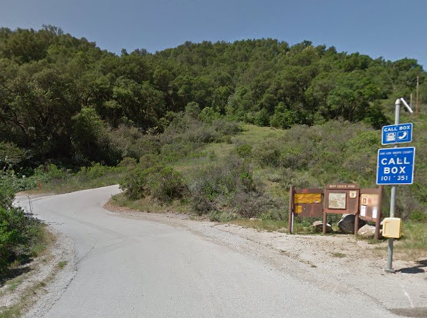
Photo: Google
Last Updated: Tuesday, May 21, 2024

 Use Marker Groups