Indians Road (at Memorial Park Campground) - Los Padres National Forest
36.119278, -121.467870
Gate Details
- GateStatus: Closed
- County: Monterey County
- Ranger District: Monterey Ranger District
- Longitude: -121.467870
- Latitude: 36.119278
Gate along Indians Road just above Memorial Park Campground at the next creek crossing.
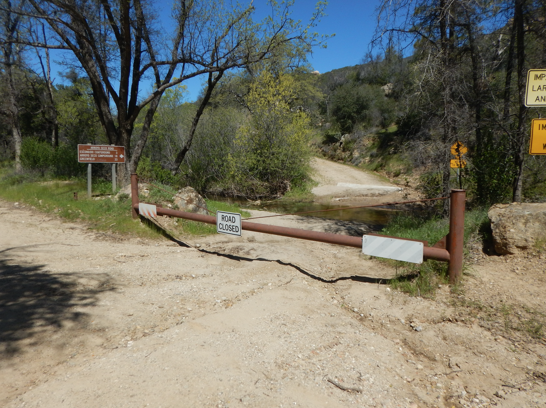
Photo: Bryan Conant
Last Updated: Tuesday, May 21, 2024
 Use Marker Groups
