 Use Marker Groups
 Wolf 2002
Piru 2003
Day 2006
Zaca 2007
Gap 2008
La Brea 2009

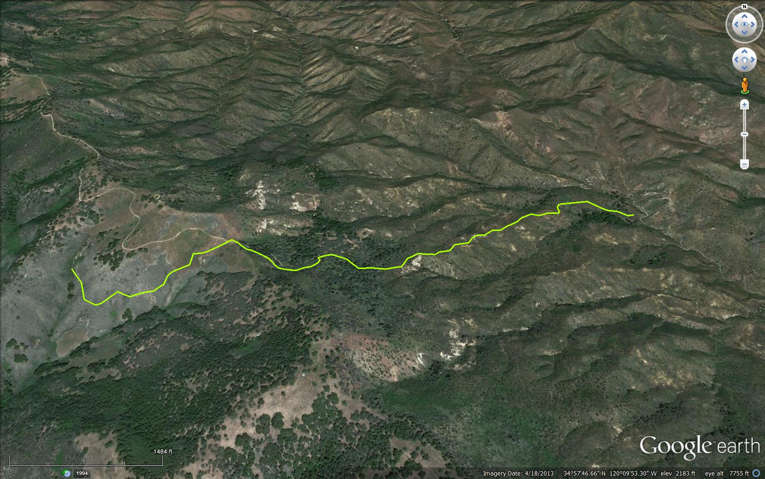
The Bear Canyon Trail is located near Santa Maria in the Santa Lucia Ranger District. This moderate 3.5 mile trail is located in Bear Canyon, hence the name. This canyon runs north from La Brea Canyon to its head on the south side of Buckhorn Ridge. After World War II Lee Johnson rebuilt the trail and camp in this canyon.The trail follows up Bear Canyon, passing Bear Camp and ending at the Bear Canyon Loop OHV Trail (31W13). The Bear Canyon Trail is a great mountain biking trail or day hiking trail. A long loop can be completed if you take the Bear Canyon Trail up to Bear Camp and then take a left on to the Bear Canyon Loop OHV Trail (31W13) until you reach the Bear Canyon Connector Trail (31W17) and finally take Buckhorn Ridge Trail (31W06) back to 11N04/Colson Canyon Rd ending at the Colson Campground.
To get to the trail head, Take US-101 and exit on Palmer Rd. Then Tepusquet Road on to Forest Road 11N04 or Colson Canyon Road. If the seasonal Colson Canyon Gate is open then proceed up the road to park at the Colson Saddle Gate. The Colson Saddle Gate is always locked and you will park and then walk or bike down the 11N04/Colson Canyon Road to the junction with the Forest Rte 10N06/La Brea Canyon Rd. Turn left here and proceed up the road a short distance and the trail head will quickly be on your left.
In Spanish la brea means, the tar. On the lower part of the canyon, on the Sisquoc Ranch, there is a series of tar seeps. During periods of hot weather the tar runs out of cracks in the rock and down the hillside to the creek below the tar springs. Natives collected the tar to use in waterproofing baskets and water bottles. During the Hispanic Period, the tar was used to waterproof the roofs of adobe buildings.
Have you hiked this trail in the past? Please share. Be the first one to add a quick report below.
 Survey / Report Form - Please click this box to open the form.