 Use Marker Groups
 Wolf 2002
Piru 2003
Day 2006
Zaca 2007
Gap 2008
La Brea 2009

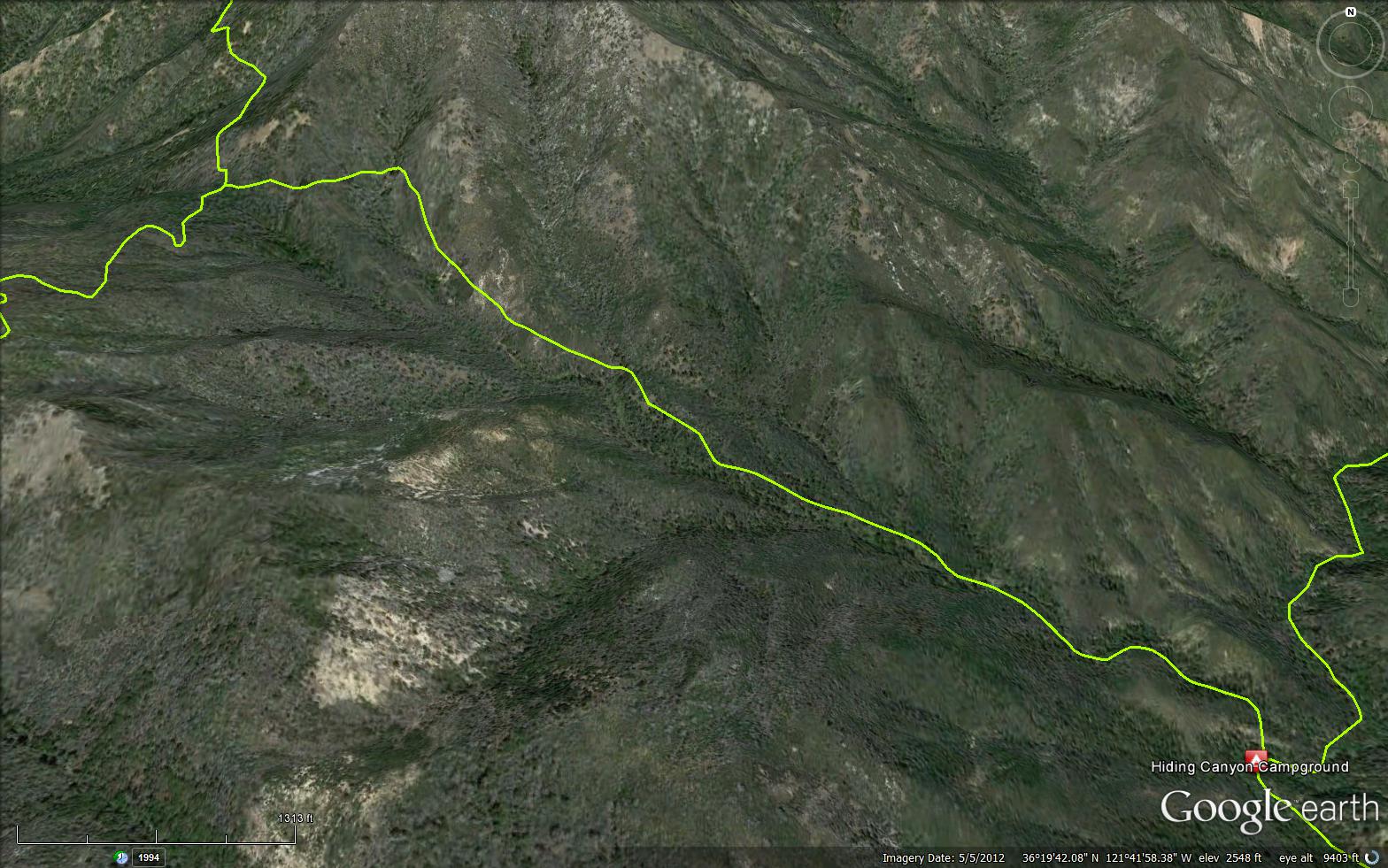
The Puerto Suelo Trail - Ventana is a scenic 2.00 mile trail in the Ventana Wilderness in Monterey County . The trail connects the Carmel River Trail (3E03) and the Ventana Double Cone Trail (2E04). Please let us know if you have explored this trail recently.
Hiding Canyon Camp - 1763 feet


 Puerto Suelo Trail - Ventana Survey - 05-21-2018 - by Mike Maki
| Link: | Puerto Suelo Trail - Ventana |
| Date: | 05-21-2018 |
| Surveyor Name: | Mike Maki |
| Trail description: | Hiked this as part of my last section hike of the Condor Trail. I wish there was an alternate but I get to say I've been up Puerto Suelo! This trail is a mess once you hop over the somewhat easy to follow portion from Hiding Camp to where the trail nears the creek. Then all hell breaks loose. There is some orange flagging but I lost it after about the first couple of hours. I estimate I hiked the middle section in the creek. Beautiful creek by the way. Good flow. Then I met a couple coming down canyon about 2/3 the way up with a dog! Little did I know they had come down through what I later experienced the hardest part of the trail, the upper third. When I met them the flagging resumed and I was able to follow their trail through the growth. This helped but the deadfall and growth was incredible. Crawled on my belly a few times to get through. I eventually lost any trace of a trail about a quarter mile from the saddle and hiked through the burn to about 300 yards above where the trail is to meet the Ventana Trail. It took me about 8.5 hours... See this video  (starts at 17:50, I know, it's long...) for some of this trail. Pics are here as well but you'll have to browse through them to get to Puerto Suelo. Look for the pic of Puerto Suelo Trail sign 4/5 the way through pics. Video and Pics are from 5 day trip from Nacimiento Road to Bottchers Gap. http://condor.mmaki.com/ |
| Mode of transport: | Hike |
| Trail condition: | Hard to follow |
| Condition details: | Deadfall and two years of post fire vegetation growth |
| Images: | Trail sign at Hiding Camp Open route up the creek Couple I met with dog coming down Ya, that is what a lot of the route is like Near the top looking at Uncle Sam Mtn |
 Survey / Report Form - Please click this box to open the form.