 Use Marker Groups
 Wolf 2002
Piru 2003
Day 2006
Zaca 2007
Gap 2008
La Brea 2009

| Date | Surveyor | Water Report |
| 04-08-2021 | Anonymous Surveyor | Dry |
| 05-30-2020 | Christopher P. Lord | Flowing |
| 05-12-2019 | Diane Soini | Flowing |
| 02-29-2016 | Geoff | Flowing |
Buck Creek Camp is located on the Buck Creek Trail (18W01) in the Sespe Wilderness


 Buck Creek Camp Survey - 04-08-2021 - by Anonymous Surveyor
| Link: | Buck Creek Camp |
| Date: | 04-08-2021 |
| Surveyor Name: | Anonymous Surveyor |
| Camp Description: | When I arrived here with much struggling, I realized the last time I saw any water was two hours back (maybe a mile back) and so with only half a liter of water and the spring dry, I camped at the campsite. I tried again to find the spring in the morning to no avail and was not sure I could make it going forward up the canyon and up to Little Mutau creek without any water, so I bailed. I visited in 2019 and the trail was bad then, but although I got less lost at the bottom of the trail this time, in general, the condition has gotten worse. The wild roses seem to have taken over. |
| Water Source: | Dry |
| Water Source Details: | This is an unreliable spring |
| Weather Conditions: | |
| Images: | The camp was tidy with a nice pile of firewood neatly stacked I lost my weird hat last time and found this scratchy wool Canadian flag hat this time. Did you lose this hat? |
Buck Creek Camp Survey - 05-30-2020 - by Christopher P. Lord| Link: | Buck Creek Camp |
| Date: | 05-30-2020 |
| Surveyor Name: | Christopher P. Lord |
| Camp Description: | Great flow from the spring at upper Buck right now. Camp is lovely, the trail needs work especially the last half mile into camp. More details below. |
| Water Source: | Flowing |
| Water Source Details: | |
| Weather Conditions: | |
| Images: | |
Buck Creek Camp Survey - 05-12-2019 - by Diane Soini| Link: | Buck Creek Camp |
| Date: | 05-12-2019 |
| Surveyor Name: | Diane Soini |
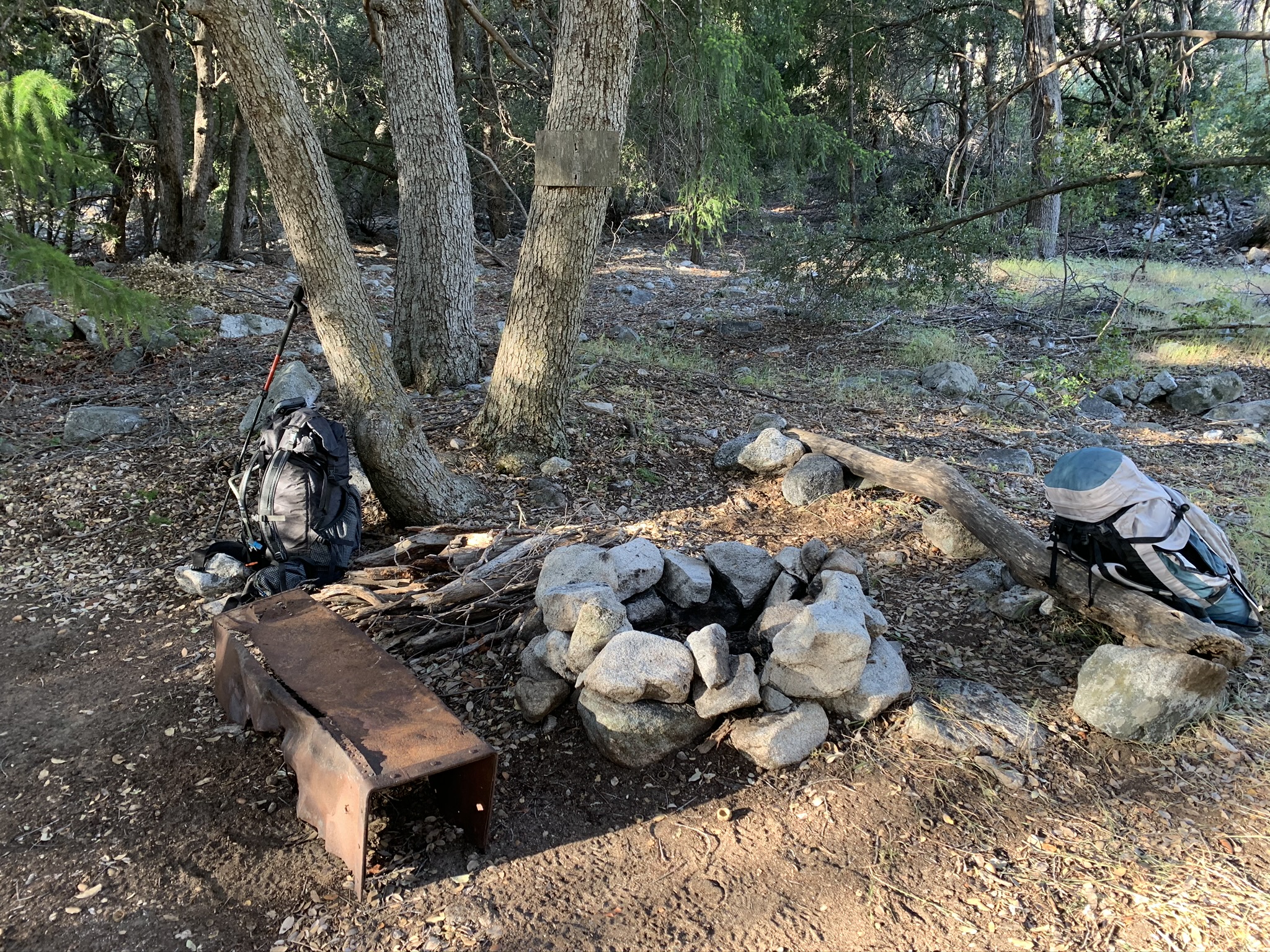
| Camp Description: | Here is a picture of the camp near the spring. Note the empty signs There was a second fire ring nearby and a strange rock wall. The camp was visible from the spring because of a large duck that was visible from the spring that led you to the camp. All of this was pretty much where the topo says it is. |
| Water Source: | Flowing |
| Water Source Details: | There is a camp. It has an old sign but nothing is written on it anymore. |
| Weather Conditions: | Springlike |
| Images: | Buck Creek Camp Rock walls near the camp Nearby fire ring to the main camp Duck that drew me from the spring to find the camp |
Buck Creek Camp Survey - 02-29-2016 - by Geoff| Link: | Buck Creek Camp |
| Date: | 02-29-2016 |
| Surveyor Name: | Geoff |
| Camp Description: | The
location for the Buck Creek Camp varies on different reference maps. I stayed
at a camp at 118.850896°W 34.645203°N, which is near the camp location shown on
the Tom Harrison and National Geographic topographic maps. The camp is shaded
by many oak trees. Buck Creek was flowing with clear water and pools were deep
enough to submerge a water bottle. The creek became dry a little more than a
half mile upstream from the camp. The last water pools were near 118.858591°W 34.641120°N.
There is a camp near the location of the Buck Creek Camp shown on this Internet
site. I looked for Buck Creek Spring but could not find any water and the nearby drainages were dry. |
| Water Source: | Flowing |
| Water Source Details: | Please see my description for where I found water. |
| Weather Conditions: | Sunny, warm days, cool night. |
| Images: | Camp at 118.850896°W 34.645203°N. |
 Survey / Report Form