 Use Marker Groups
 Wolf 2002
Piru 2003
Day 2006
Zaca 2007
Gap 2008
La Brea 2009

The trail follows a creek through a narrow canyon, and enters a large semicircular valley (with a view of Tangerine Falls). The trail then diverges from the creek and climbs up to Gibraltar Road. 200 foot high Tangerine Falls is in a canyon to the north of the trail. Directions: Take Cold Springs Road, turn right on Mountain Drive, go ½ mile and park near the creek crossing (this is the East Fork trailhead). West fork of the Cold Springs trail takes off from The East Fork trail 1/2 mile from bottom trailhead near a wooden bench overlooking the creek.
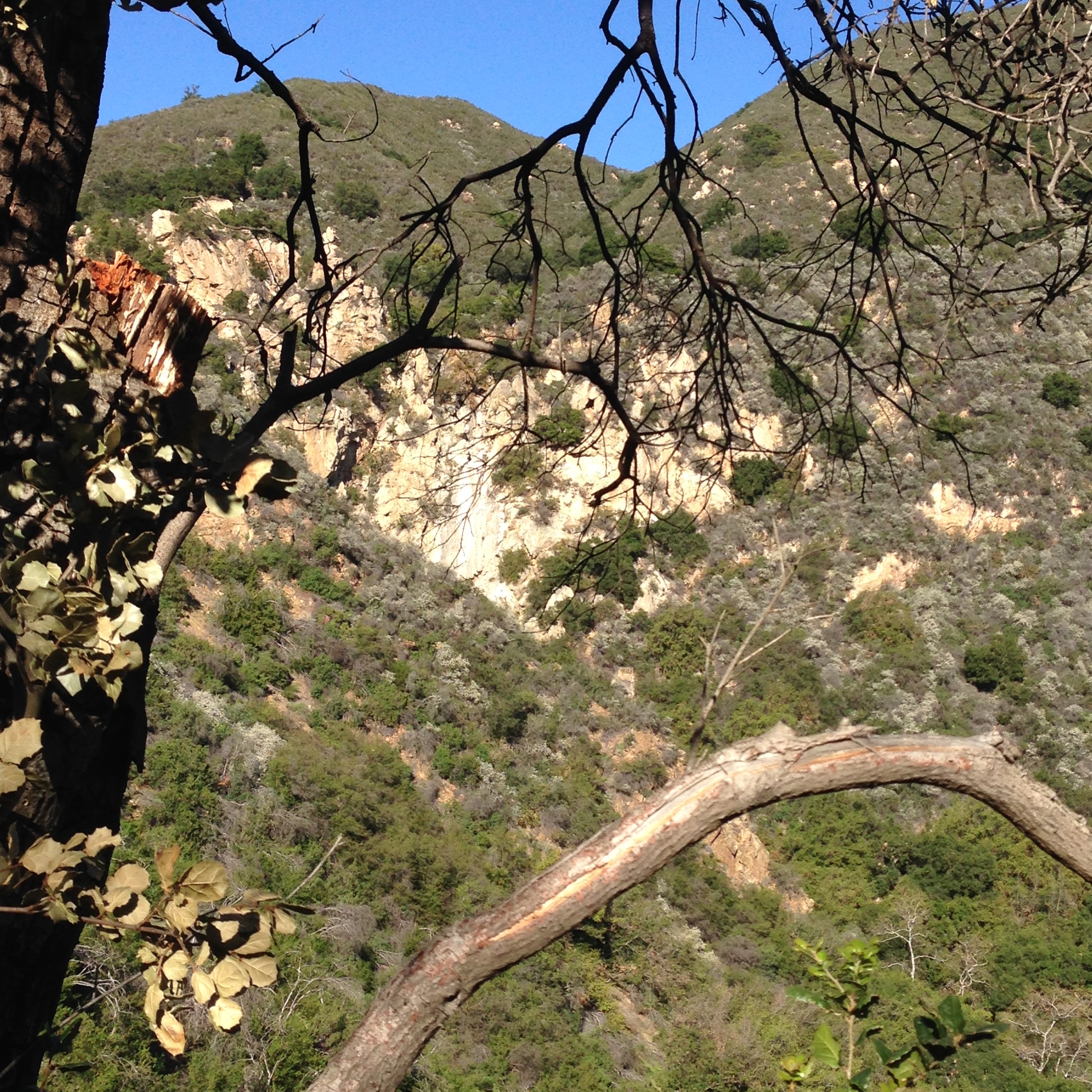
Unlike most of the trails, which run in a north-south direction, the West Fork follows an east-west course. The reason for this can be found in the geology of this particular area. Matilija Sandstone lies on the north side of the trail; Coldwater Sandstone is on the south side. Sandwiched in-between is a layer known as Cozy Dell Shale. High along the crest the shale forms impressive saddles. As it dips across the ocean side of the Santa Ynez Mountains, it forms what are known as strike canyons, which flow at right angles to the main canyons. The West Fork Trail winds its way up the largest of these strike canyons.
To reach the West Fork trail, hike up the East Fork trail a quarter mile to a very pretty waterfall with a nearby bench. Cross the creek and look for the trail behind a series of large boulders. The trail climbs slowly, undulating up the left side of the narrow canyon. In the afternoon this section is shade-covered, making the hike pleasant on hot summer days.
The path wanders through dense green canyon vegetation for three quarters of a mile before opening into the valley. Slightly to right of center is a magnificent 200 foot high waterfall. This is Tangerine Falls. The side trail leading up to it is not too far beyond the viewpoint.
Just past the turnoff for Tangerine Falls, the main West Fork trail climbs a bit then crosses to the right side of the canyon. There is often quite a bit of poison oak in this area so I carry a pair of clippers just in case I need to trim some of it back. A hundred yards above here the trail crosses the creekbed and begins a series of switchbacks which take you directly uphill for several hundred feet until you are no longer in the canyon but high up on the hillside.
Once you are at the end of the switchbacks, the trail climbs steeply for several hundred yards up through a very pretty tunnel of hillside chaparral and crosses two small wooden bridges which are very cute (you’ll know what I mean if you’ve seen them). At this point the trail opens out into the full sunlight and on a hot day it can be very tough hiking up to the road.
Just beyond the second bridge the trail turns north and climbs across a small knoll. The views back down the canyon are very pretty and in the “vee” formed by the lower hillsides you can see the Carpinteria valley. Above the views are equally nice. Near the top of the ridge you’ll notice a large rock formation. This is Cold Springs Dome, a popular rock climbing area.
As you round the knoll the trail turns back to the left, levels a bit, and then continues straight up to Gibraltar Road. You’ll know you are nearing the end of the trail by the hundreds of small pieces of glass which begin to appear on the ground. The steep hillside near the hairpin turn has been used in past years for target practice. Thanks to the efforts of the Sierra Club and other trail users, the Forest Service has closed this and other areas to casual “plinking,” making it a much safer area for hiking.
If you would like to reach Rattlesnake Canyon you can do so by walking up the road for a mile to the connector trail leading down into it.
Ray Ford - http://www.sboutdoors.com/cold-spring-west-fork.html


 Cold Spring Trail - West Fork Survey - 10-14-2018 - by Los Padres Forest Assocation
| Link: | Cold Spring Trail - West Fork |
| Date: | 10-14-2018 |
| Surveyor Name: | Los Padres Forest Assocation |
| Trail description: | "We (SBMTV) collaborated with Montecito Trails Foundation for today’s work. MTF hired a trail builder to rebuild the trail... He has done a ton of great work and has rebuilt the trail from the top of West Fork to the East Fork intersection with a mini excavator...." - SBMTV The crew worked about 1 mile in the middle section of West Fork. Thanks everyone for all the hard work! Read more here: |
| Mode of transport: | Hike |
| Trail condition: | Good shape and easy to follow |
Cold Spring Trail - West Fork Survey - 02-28-2017 - by Los Padres Forest Association| Link: | Cold Spring Trail - West Fork |
| Date: | 02-28-2017 |
| Surveyor Name: | Los Padres Forest Association |
| Trail description: | An unknown group or person(s) cut a tread across the slide on West Fork Cold Spring. Â They did a nice job and the tread should hold for the foreseeable future. Â There remains a large chunk of slide precariously hanging on above the slide that will eventually wipe out the new temporary tread. Â Ultimately a reroute might be the best approach but for the time being a solution has been found. Â Probably don't want to hang out on the slide though. |
| Mode of transport: | Hike |
| Trail condition: | Good shape and easy to follow |
| Images: | |
Cold Spring Trail - West Fork Survey - 02-07-2017 - by Los Padres Forest Association| Link: | Cold Spring Trail - West Fork |
| Date: | 02-07-2017 |
| Surveyor Name: | Los Padres Forest Association |
| Trail description: | WINTER 2016-2017 There is a larger slide that has developed on the West Fork Cold Spring Trail about a mile down from Gibraltar Rd just above the switchbacks above the tunnel. Â The slide is about 100ft long and has completely taken out the trail over that length. Â The trail is flagged off on both sides but people have been scampering across the high-side of the slide and making it across. Â The Forest Service is planning on sending a Geologist out to view the slide on 2/14 and will provide recommendations at that point. |
| Mode of transport: | Hike |
| Trail condition: | Needs some work |
| Images: | Looking across the slide from the up-trail side. The approach from the up-trail side, looks like another 10ft might be ready to go down as well. The rest of the trail is in great shape and has been collecting the water as designed. Great work to SBMTV and others who have worked the trail over the past years. Silky strands of sunset! |
Cold Spring Trail - West Fork Survey - 01-06-2015 - by Los Padres Forest Association| Link: | Cold Spring Trail - West Fork |
| Date: | 01-06-2015 |
| Surveyor Name: | Los Padres Forest Association |
| Trail description: | As part of State Trails Day, a variety of groups helped support a trail project along the West Fork Cold Spring Trail above Montecito. Â See photos here from the Multiuse Trails Coalition: https://picasaweb.google.com/109897793293855676170/StateTrailsDay2015WestForkColdSpring?feat=directlink |
| Mode of transport: | Array |
| Trail condition: | Good shape and easy to follow |
Cold Spring Trail - West Fork Survey - 03-02-2015 - by Lindsay Fisher| Link: | Cold Spring Trail - West Fork |
| Date: | 03-02-2015 |
| Surveyor Name: | Lindsay Fisher |
| Trail description: | Nice Hike, also can take the fork to Tangerine Falls base or to the top of Tangerine Falls. |
| Mode of transport: | Hike |
| Trail condition: | Good shape and easy to follow |
| Images: | Tangerine Falls (no water running) |
 Survey / Report Form - Please click this box to open the form.