Welcome To Hike Los Padres!
User Log In or Sign Up
Use Marker Cluster
Markers: Use Marker Groups
Time used: ms
Routes
    Trails
    OHV Trails
    Forest Roads
    Streams
Wildfire Layers
    Wolf 2002
    Piru 2003
    Day 2006
    Zaca 2007
    Gap 2008
    La Brea 2009
Forest Layers
    Forest Boundary
    Wilderness Areas
    Ranger Districts
    Counties
    Topographic Outlines
    Trailheads
    OHV Trailheads
Helpful Hints
    ↣ Right click the map for location data. ↣ Click a stream for Water Stats.

West Camino Cielo at Santa Ynez Peak - Los Padres National Forest
34.525324, -119.964420

Gate Details

  • GateStatus: Closed
  • County: Santa Barbara County
  • Ranger District: Santa Barbara Ranger District
  • Longitude: -119.964420
  • Latitude: 34.525324

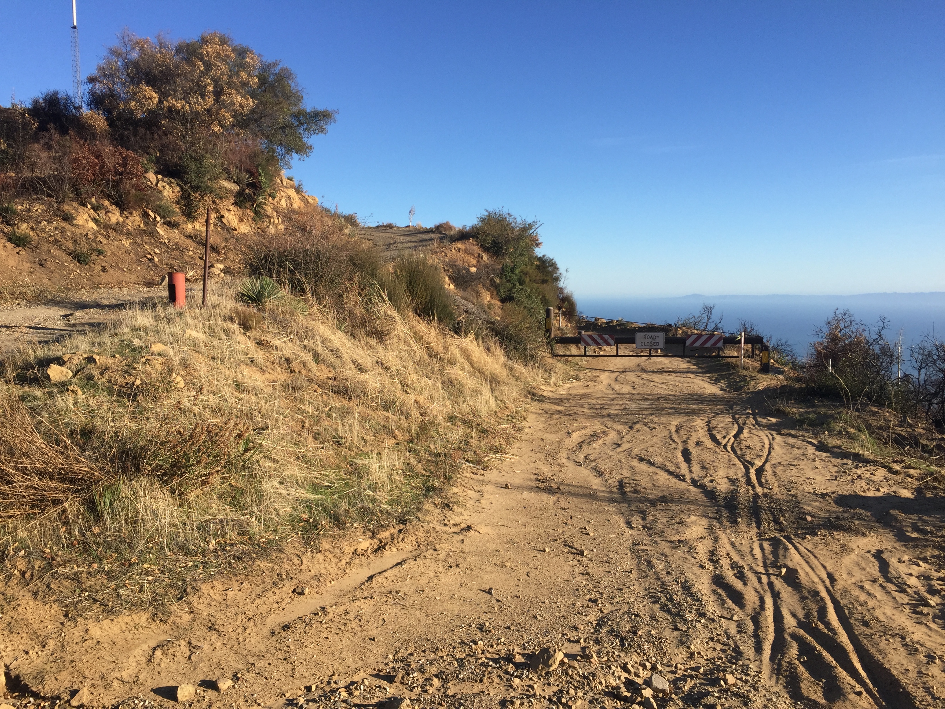
This gate is along West Camino Cielo just past the access road to Santa Ynez Peak.  It was installed in 2017 in order to prevent access into the burned areas of the Whittier Fire.  The gate blocks access along West Camino Cielo out towards Lizards Mouth.  

It is unknown when the gate will be reopened but most likely not until 2019.


Photo: Los Padres Forest Association
www.LPForest.org


Last Updated: Friday, March 17, 2023


Join Mailing List
×
Get updates on conditions, surveys and more...


Current Weather »


L.P.N.F. Contacts »

  • Forest Headquarters
    Phone: (805) 968-6640
  • Mt. Pinos District
    Phone: (661) 245-3731
  • Ojai Ranger District
    Phone: (805) 646-4348
  • Santa Barbara District
    Phone: (805) 967-3481
  • Santa Lucia District
    Phone: (805) 925-9538
  • Monterey District
    Phone: (831) 385-5434