 Use Marker Groups
 Wolf 2002
Piru 2003
Day 2006
Zaca 2007
Gap 2008
La Brea 2009

| Date | Surveyor | Water Report |
| 04-14-2020 | Matthew Hengst | Flowing |
Upper Bee Camp is located along the Bee Camp Trail along the North Fork Big Creek in the Ventana Wilderness. The trail down to camp is hard to follow and rumor has it that Upper Bee Camp is not too spectacular. If you've visited it lately, please let us know what you think........

 Upper Bee Camp Survey - 04-14-2020 - by Matthew Hengst
| Link: | Upper Bee Camp |
| Date: | 04-14-2020 |
| Surveyor Name: | Matthew Hengst |
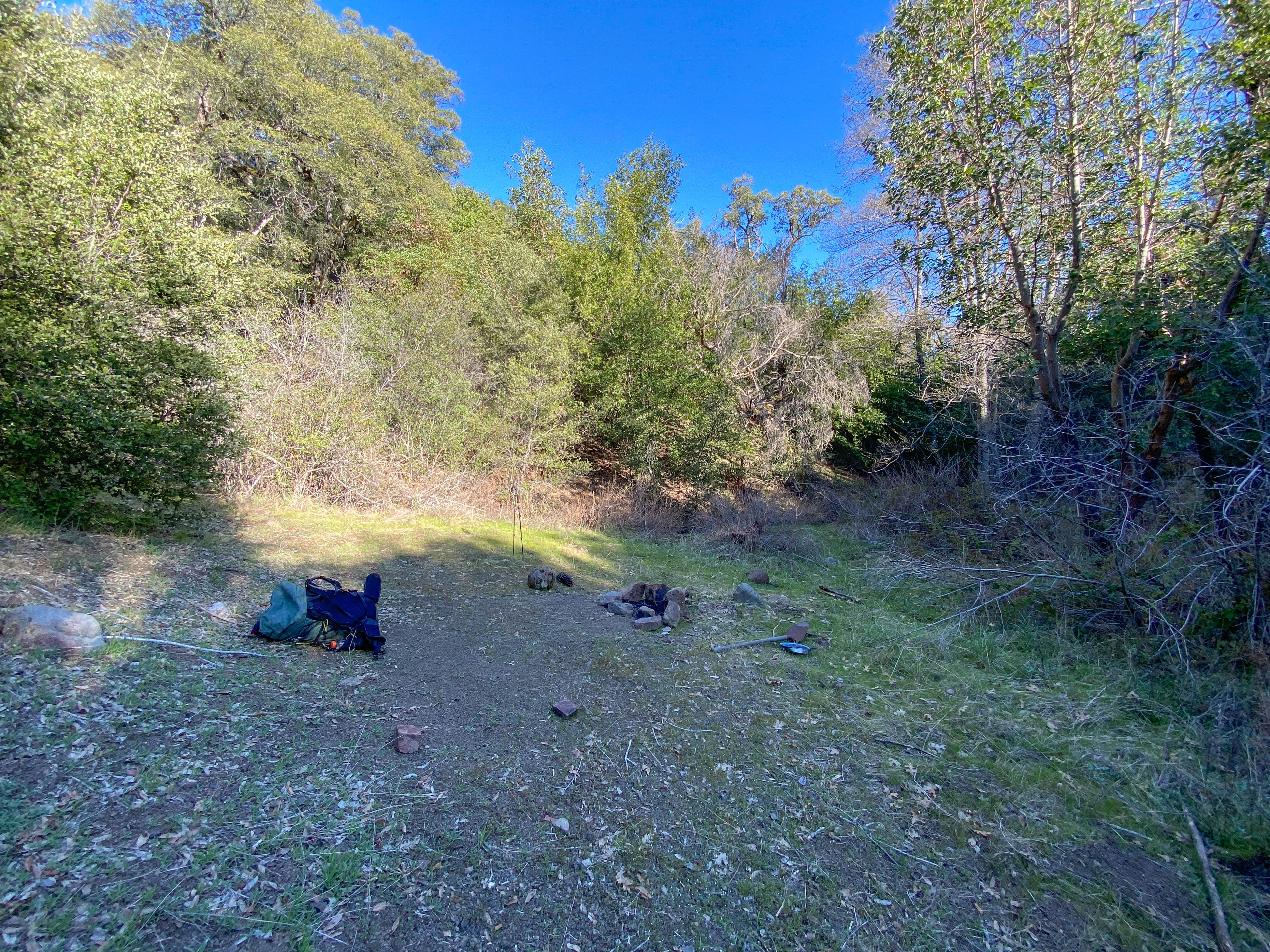
| Camp Description: | Stayed here one night while on the Condor Trail. I wasn't able to find where the trail met the road and ended up bushwhacking for a good 30 minutes until I gave up and started to climb back up only to run across a clear section of trail which took me down to the camp. There's a fire pit, some machinery I couldn't identify, and easy access to water. The following day I followed the trail back up to the road and built a duck where it joins. The last hundred feet or so below the road is so overgrown you can be standing right there and not see it's a trail. |
| Water Source: | Flowing |
| Water Source Details: | Both streams were flowing well |
| Weather Conditions: | |
| Images: | This is where the trail down to Bee Canyon leaves the road |
 Survey / Report Form