 Use Marker Groups
 Wolf 2002
Piru 2003
Day 2006
Zaca 2007
Gap 2008
La Brea 2009

| Date | Surveyor | Water Report |
| 04-19-2024 | Anonymous Surveyor | Flowing |
| 06-27-2022 | Michael Bergantzel | Trickle |
| 03-13-2021 | Jared Pulley | Flowing |
At the bottom of steep trail decline down from the Three Peaks Trail, Three Peaks Camp is settled amongst oak trees with mixed grassy potreros. The camp is accessed off South Coast Ridge Road just outside the Silver Peak Wilderness east of the Salmon Creek trailhead access.


 Three Peaks Camp Survey - 04-19-2024 - by Anonymous Surveyor
| Link: | Three Peaks Camp |
| Date: | 04-19-2024 |
| Surveyor Name: | Anonymous Surveyor |
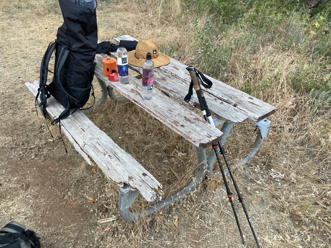
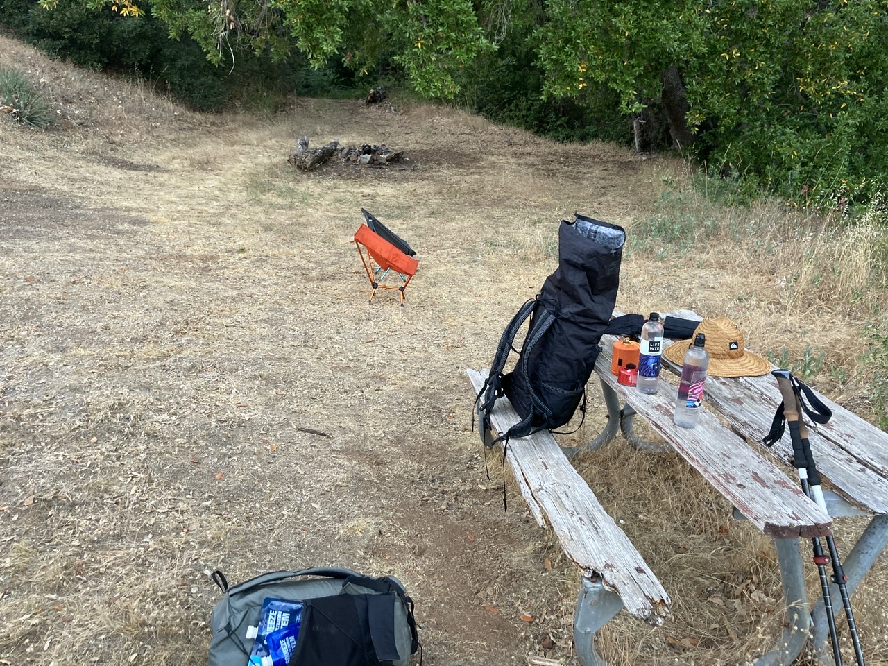
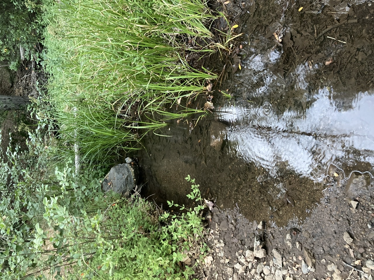
| Camp Description: | Accessible from the Coast Ridge Road by an OHV, Three Peaks Camp is right next to a small, flowing creek. Main camp can handle 3-4 tents and there is a smaller site 75m upstream that can handle 1-2 tents. Both have fire rings. Only the lower camp has the same dilapidated bench pictured from 2022. |
| Water Source: | Flowing |
| Water Source Details: | flowing well after spring rains |
| Weather Conditions: | clear and 65 degrees |
| Images: | Sign and entrance to (lower) site Still dilapidated picnic bench |
Three Peaks Camp Survey - 06-27-2022 - by Michael Bergantzel| Link: | Three Peaks Camp |
| Date: | 06-27-2022 |
| Surveyor Name: | Michael Bergantzel |
| Camp Description: | Not flowing a ton, but sufficient to keep the little deep water pool clean and tasting fine. Benches/table are rotted out. |
| Water Source: | Trickle |
| Water Source Details: | Clear, taste is fine |
| Weather Conditions: | Nice - a little warm even at night. |
| Images: | |
Three Peaks Camp Survey - 03-13-2021 - by Jared Pulley| Link: | Three Peaks Camp |
| Date: | 03-13-2021 |
| Surveyor Name: | Jared Pulley |
| Camp Description: | The camp is a bit dilapidated, the upper site has a beaten table with good shade and a fire pit, while the lower site has no table but an excellent fire pit and open grass area, and good shade as well; however the shade is near a potential car parking area, if the South Coast Ridge Road opens to public access (the gate is unlocked for the cutoff road to camp). We accessed camp as a lunch break on the Three Peaks Loop; trail quality is excellent from Dutra Flat camp. |
| Water Source: | Flowing |
| Water Source Details: | Great flow, deep pool of water |
| Weather Conditions: | Sunny / Warm |
 Survey / Report Form