 Use Marker Groups
 Wolf 2002
Piru 2003
Day 2006
Zaca 2007
Gap 2008
La Brea 2009

| Date | Surveyor | Water Report |
| 06-10-2021 | Michael Sallwasser | Dry |
| 11-28-2020 | Antonio Calderon | Dry |
| 08-11-2019 | Christopher P. Lord | Dry |
| 11-08-2018 | Dave Burnett | Dry |
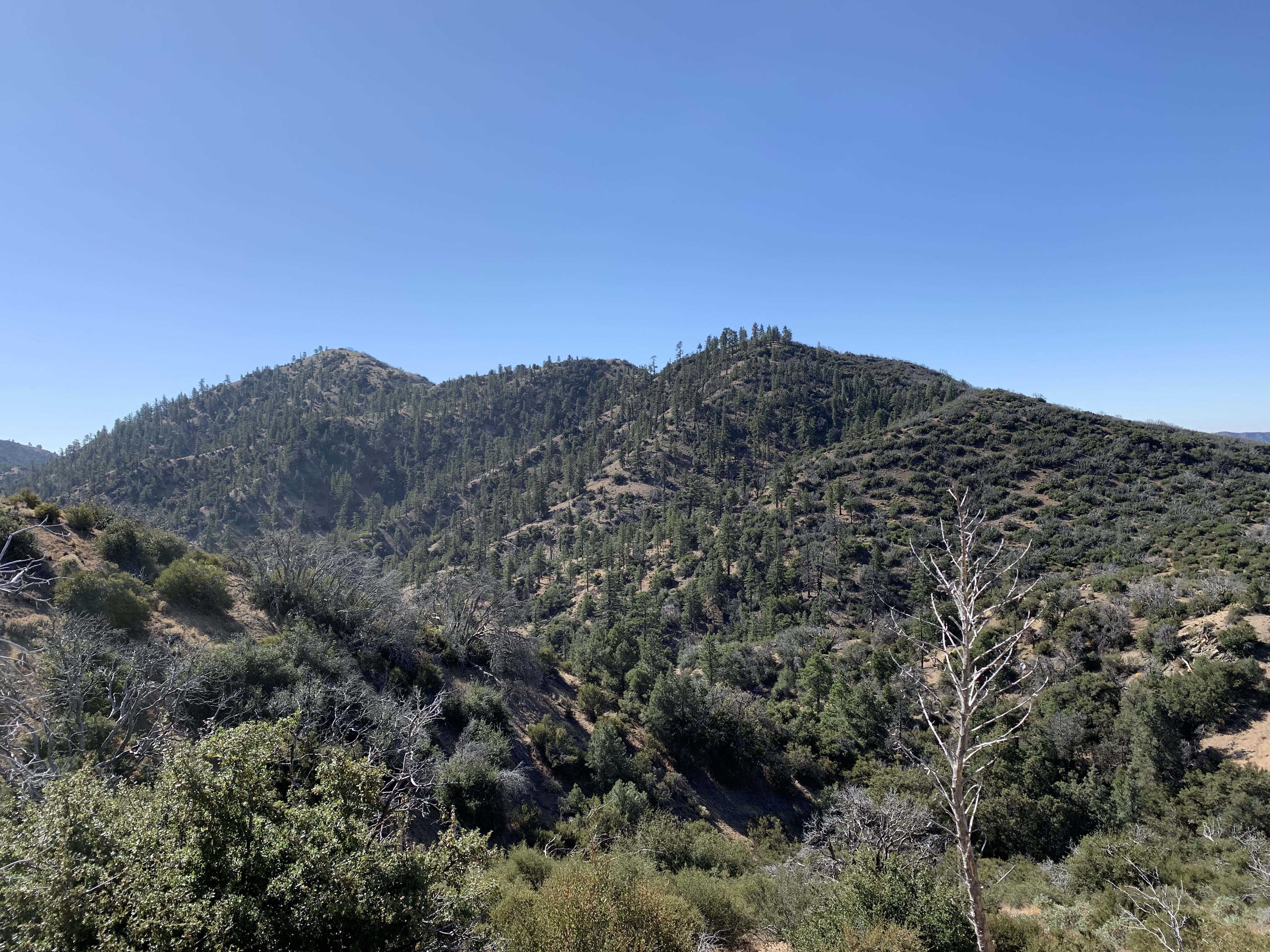
San Rafael Peak - 6,634 feet


 San Rafael Peak Survey - 06-10-2021 - by Michael Sallwasser
| Link: | San Rafael Peak |
| Date: | 06-10-2021 |
| Surveyor Name: | Michael Sallwasser |
| Camp Description: | Please Update with correct stats: Latitude: 34.62387 Longitude: -119.00156 Elevation: 6634' |
| Water Source: | Dry |
| Water Source Details: | |
| Weather Conditions: |
San Rafael Peak Survey - 11-28-2020 - by Antonio Calderon| Link: | San Rafael Peak |
| Date: | 11-28-2020 |
| Surveyor Name: | Antonio Calderon |
| Camp Description: | |
| Water Source: | Dry |
| Water Source Details: | |
| Weather Conditions: | Sunny 50F |
| Images: | |
San Rafael Peak Survey - 08-11-2019 - by Christopher P. Lord| Link: | San Rafael Peak |
| Date: | 08-11-2019 |
| Surveyor Name: | Christopher P. Lord |
| Camp Description: | Definitely some of the best views in the Southern Los Padres. HPS register can on the Summit. Started at Johnston Ridge Trailhead after visiting the Peak descended the North slope to Little mutau Trail Camp before returning back to the car. More details at the link below. |
| Water Source: | Dry |
| Water Source Details: | |
| Weather Conditions: | |
| Images: | Summit register (HPS) Me on the Summit San Rafael Peak Views More Views |
San Rafael Peak Survey - 11-08-2018 - by Dave Burnett| Link: | San Rafael Peak |
| Date: | 11-08-2018 |
| Surveyor Name: | Dave Burnett |
| Camp Description: | Â Â Â Â Â Â San Rafael Peak is a nearly 6,600
foot peak in a remote portion of the Sespe Wilderness in the Los Padres Forest.  Trailhead is near the end of the Mutau Flat
Road just before a locked gate and about 15 miles from Lockwood Valley Road.  Mutau
Flat Road is mostly unpaved. The gate
just off Lockwood Valley Road is locked from approximately 1 December through 1
May. Â Â Â Â Â Â Â Â Â Â Â Four of us completed this 5.3 mile
hike to the Peak and return for a total distance of 10.6 miles. A fifth hiker turned around at the saddle on
the Little Mutau Trail before we began the use trail portion of the hike as was
planned. He is recovering from open
heart surgery a year ago and this was not a bad performance at all for him. The saddle is 3.3 miles of the total one-way
distance with a net elevation gain of 822 feet.Â
Net gain to the Peak is 1,650 feet with lots of up and down, especially
past the saddle. An interesting feature
near the beginning of the hike is the rock outcropping near the edge of the
Flat. It is said to have Indian petroglyphs
painted on it. It is on private land so
it is not accessible. Â Â Â Â Â Â Â Â Â Â Â Driving time to the trailhead from
the Santa Clarita area is about 2 hours due to the slow travel required on
Mutau Flat Road. We arrived at TH about
8 am and started as soon as we got our boots on. Ascent to the Peak took just over 4 hours. After a brief rest to sign the summit log,
eat some lunch and take photos we headed back down, completing the return to
the TH in just over 2.5 hours. Â Â Â Â Â Â Â Â Â Â Â An excellent hike on portions of the
Johnson Ridge and Little Mutau Trails then along fairly easy to follow use
trails to the summit. The established
trails we followed were in very good shape and the use trails were in
remarkably good shape as well. The route
we followed is posted in the Hundred Peaks website. On the map accompanying this survey our track
is shown in blue, Hundred Peaks Route 1 is shown in green (with numbered pins
denoting steps of the Route 1 directions) and the red track shows a portion of Hundred
Peaks Route 2. Our track profile is also included in the survey post. Â Â Â Â Â Â Â Â Â Â Â There was zero water along our route
this time of year. Temps were cool to
start and finish with very pleasant temps in the 60’s much of the day. Sun was bright with no clouds in the sky
during the entire hike. We experienced
very little wind on the hike although it was quite breezy at the saddle and on
the Peak. More about wind later.            Jubilant over having bagged San
Rafael Peak we started home, anticipating pizza and cold beer at Mike’s Pizza
in Lake of the Woods. Just a mile or so
down the road we were surprised and dismayed to see a large tree across the
road! Needless to say it was not there 8
hours before when we drove in. With no
tools anywhere near the capability to remove the tree, we proceeded with clearing
a path that we hoped at least the Jeep could use to get around. During this process we heard the sweet sound
of a chainsaw! It was coming from about
200 yards away, around a bend and out of our sight. One of our group investigated and found a
Forest Service Crew cutting another tree that was blocking the road. We celebrated and waited a few minutes for
them to get to “our†tree. They removed
the tree in short order and we were on our way again after learning that they
had removed about 10 large trees along a 2 mile or so stretch on the way
in! The downed trees were apparently blown
down in a brief and mostly localized wind storm and reported earlier in the day
by someone who had tried to get to the Mutau Flat area after us. MANY THANKS to the Forest Service Crew and to
the unknown person who reported the downed trees. Â Â Â Â Â Â Â Â Â Â Â In retrospect, we were not as well
prepared as we should have been for a trip this far into the wilderness,
especially knowing there was limited to no cell service. On the other hand, there is no way we would
have brought the necessary equipment to remove one of these large trees, much
less 10 of them. We were fortunate that
the downed trees were reported and that the Forest Service Crew got right on
them. Â Â Â Â Â Â Â Â Â Â Â All-in-all an excellent day filled
with its share of ups and downs, both literally and figuratively. All’s well that ends well! |
| Water Source: | Dry |
| Water Source Details: | Part of hike was along or crossing a creek, but was bone dry this time. |
| Weather Conditions: | Cool at start and finish. Very pleasant during entire hike. Sunny |
| Images: | Hikers at the Summit Signing the Log. All Five of Us. Our Track Hike Profile - One Way The Obstacle. |

 Survey / Report Form - Please click this box to open the form.