 Use Marker Groups
 Wolf 2002
Piru 2003
Day 2006
Zaca 2007
Gap 2008
La Brea 2009

| Date | Surveyor | Water Report |
| 04-19-2020 | bardley | Dry |
| 12-02-2018 | Craig R. Carey | Dry |
| 08-26-2018 | Christopher P. Lord | Dry |
| 03-30-2018 | Craig R. Carey | Dry |
This peak is located on the summit of the Pine Mountain Ridge. The peak is composed of numerous layers of Matilija sandstone of Eocene Age.
When the U. S. Geological Survey mapped the area in the early 1900's they named the peak for the Reyes family who established a ranch on the Upper Cuyama River at the bottom of the north side of the peak in the early 1850s. This peak was a sacred mountain to the Chumash Indiana who called it "OPNO W ".
From the end of Pine Mountain Road 6N06 a steep trail climbs to the top of Reyes Peak where the Forest Service established a fire lookout. The lookout burned in 1932 during the Matilija Fire.
The camp sites are scattered among large sandstone boulders and Jeffrey pine trees along Road 6N06 on the summit of Pine Mountain Ridge. One half mile further east is the end of Pine Mountain Road 61406 and the trail head for two trails; one to the top of Reyes Peak, elevation 7510 ft. or the Reyes Peak Haddock Mountain Trail 23W04.
REYES PEAK, HADDOCK CONNECTOR TRAIL
Starting at the end of Pine Mountain Road the trail passes along the north side of Reyes Peak and then along the north west side of Haddock Peak to finally join the Gene Marshall Piedra Blanca National Recreation Trial at Haddock Camp. At different locations along the trail different views can be enjoyed To the north the view is across the Cuyama Badlands and the Chumash Wilderness, to the south, up and down the Sespe River Valley. On a clear winter day the Channel Islands are visible in the far distance.
Reyes Peak Campground at an elevation of 7,000 is situated along the southwest side of a ridge and consists of six campsites. Each campsite contains a table, BBQ grill, and a fire ring. There is one pit toilet located near the first few campsites. No water is available at Reyes Peak. Make sure you bring plenty of water for your stay.
Reyes Peak Campgrounds are surrounded Jeffrey Pines, Sugar Pines, White Fir and Little Ponderosa Pines.
The campgrounds provide breathtaking views of the area. You can see the Cuyama Badlands on one side and the ocean from the other side. On clear days you can even see some of the Channel Islands!
Points of Interest There are a couple of trails leaving Reyes Peak. Chorro Grande Trail is located at the gate just past the last campsite. It will lead you south to Chorro Springs before dropping down to Highway 33. The distance is 5 miles. The climb back up is very steep. Raspberry Spring Trail will lead you north on a short one-half mile walk through the pines. It is a moderately steep hike. It starts at the parking area on the western edge of the campground. Drive past the gate at the end of the paved road and you will end up at Reyes Peak Trailhead. The Reyes Peak Trail ((23W04) is moderately difficult. It leads eastward into the Sespe Wilderness for 5.8 miles to the Gene Marshall-Piedra Blanca National Recreation Trail (22W03). Remember, no mountain bikes are allowed in the wilderness.
Vegetation You will find Jeffrey pine, sugar pine, and white fir trees at these campgrounds. Along the outskirts, you’ll notice chaparral species. These species include manzanita, and California sage. You may also see some scrub oak.
Wildflowers are abundant in the spring and early summer. They are something to see! You will be dazzled by lupine, false lupine, scarlet bugler, and many others.
Wildlife Keep your eyes open for red-tailed hawks soaring above the trees. If you are lucky, you may see a California condor! Other birds in the area include woodpeckers, and chickadees. Deer, bear, and coyote also live in the area.
Directions: To get here, follow Highway 33 to the turnoff at Pine Mountain Summit (6N06) which is at mile marker 42.50. The turnoff is 33.2 miles from the Ojai Ranger Station. Turn right and follow the partially paved road another 4.7 miles. Pine Mountain Campground will be to your right. If you wish to continue to Reyes Peak, follow the road for another mile. The total distance from Ojai Ranger Station to Pine Mountain is 38 miles, and Reyes Peak is 39 miles.


 Reyes Peak Campground Survey - 04-19-2020 - by bardley
| Link: | Reyes Peak Campground |
| Date: | 04-19-2020 |
| Surveyor Name: | bardley |
| Camp Description: | A pleasant 5.6 miles road walk from Highway 33. This camp is currently closed due to (1) seasonal access road closure, and (2) the novel coronavirus-19 closure order. The camp is in good condition with fire rings and tables throughout.  There is currently a down tree blocking the road at one of the campsites and will probably be removed prior to the road being reopened. Patchy snow in the shaded areas. |
| Water Source: | Dry |
| Water Source Details: | There is no water at this camp, but just down the northern slope there's a spring I did not visit. |
| Weather Conditions: | Mid 50s with NW breeze at 8 - 10. |
Reyes Peak Campground Survey - 12-02-2018 - by Craig R. Carey| Link: | Reyes Peak Campground |
| Date: | 12-02-2018 |
| Surveyor Name: | Craig R. Carey |
| Camp Description: | Visited Reyes Peak CG with members of the OA. It has snowed the night before. |
| Water Source: | Dry |
| Water Source Details: | |
| Weather Conditions: | Snowy and windy. |
| Images: | |
Reyes Peak Campground Survey - 08-26-2018 - by Christopher P. Lord| Link: | Reyes Peak Campground |
| Date: | 08-26-2018 |
| Surveyor Name: | Christopher P. Lord |
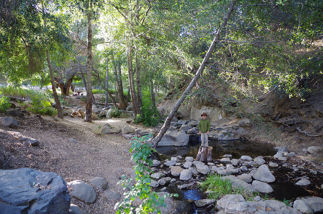
| Camp Description: | Did not stay stay the night just dropped in to check it out. Camp was clean and looked to be in nice shape. A few of the spots were taken. I especially liked the sites next to the large rock formations. https://christopherplord.blogspot.com |
| Water Source: | Dry |
| Water Source Details: | |
| Weather Conditions: | |
| Images: | |
Reyes Peak Campground Survey - 03-30-2018 - by Craig R. Carey| Link: | Reyes Peak Campground |
| Date: | 03-30-2018 |
| Surveyor Name: | Craig R. Carey |
| Camp Description: | BSA Troop 111 (Ventura) stopped briefly at Reyes Peak Campground during their 17-mile training hike this past Good Friday. Camp unoccupied (road is closed for the season), but area was clean and in decent shape. |
| Water Source: | Dry |
| Water Source Details: | |
| Weather Conditions: | Cool and sunny |
| Images: | |
 Survey / Report Form