 Use Marker Groups
 Wolf 2002
Piru 2003
Day 2006
Zaca 2007
Gap 2008
La Brea 2009

| Date | Surveyor | Water Report |
| 11-23-2021 | Shaddus Maximus | Trickle |
| 07-04-2020 | Antonio Calderon | Trickle |
| 04-22-2017 | Jen Ogren | Flowing |
| 03-28-2016 | Aaron Songer | Trickle |


 Montgomery Spring Survey - 11-23-2021 - by Shaddus Maximus
 | Link: | Montgomery Spring |
| Date: | 11-23-2021 |
| Surveyor Name: | Shaddus Maximus |
| Camp Description: | |
| Water Source: | Trickle |
| Water Source Details: | Note that the main Montgomery Spring (next to the Sierra Madre Road) is dry. You have to hike down to the cabin near the top of the Jackson Trail to find water in the trough next to the cabin. |
| Weather Conditions: |
Montgomery Spring Survey - 07-04-2020 - by Antonio Calderon| Link: | Montgomery Spring |
| Date: | 07-04-2020 |
| Surveyor Name: | Antonio Calderon |
| Camp Description: | |
| Water Source: | Trickle |
| Water Source Details: | Slow but continuous drip coming from pipe |
| Weather Conditions: | Sunny 90F |
| Images: | |
Montgomery Spring Survey - 04-22-2017 - by Jen Ogren | Link: | Montgomery Spring |
| Date: | 04-22-2017 |
| Surveyor Name: | Jen Ogren |
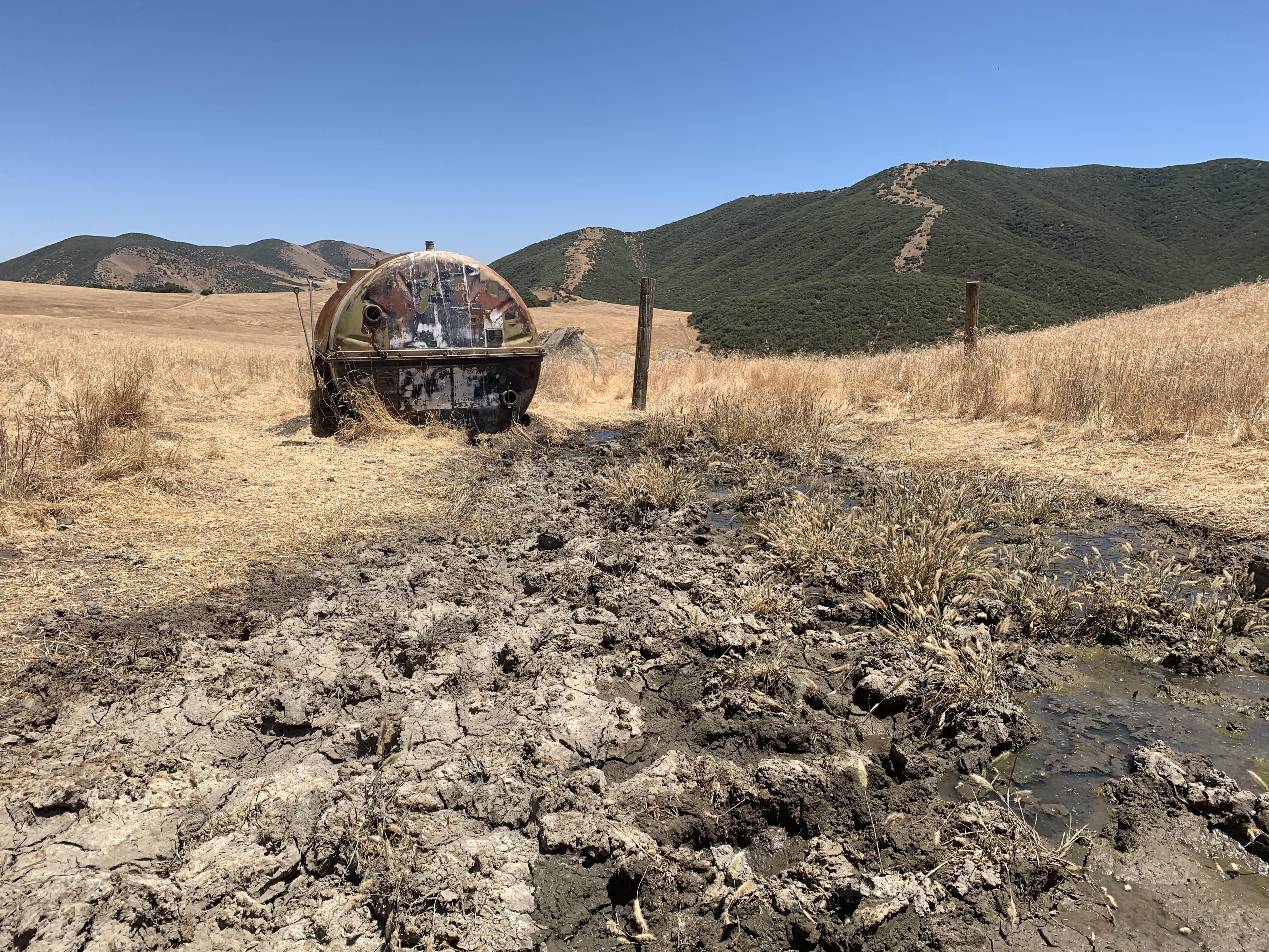
| Camp Description: | The spring is .25 mi. west of Painted Rock Camp. Â There is not a designated trail. Look for a reservoir tank to the left of the trail, to the right of the tank you will find a hose to fill your canisters. Â |
| Water Source: | Flowing |
| Water Source Details: | Water is flowing steadily |
| Weather Conditions: | 70's - low 80's |
Montgomery Spring Survey - 03-28-2016 - by Aaron Songer| Link: | Montgomery Spring |
| Date: | 03-28-2016 |
| Surveyor Name: | Aaron Songer |
| Camp Description: | Spring had good water. The pipe had a continuous drip. Filtered about 4.5 liters with a pump and there was enough left in the spring to do much more. |
| Water Source: | Trickle |
| Water Source Details: | constant, steady drip |
| Weather Conditions: | breezy, sunny, high 50s - low60s |
| Images: | |

 Survey / Report Form - Please click this box to open the form.