Welcome To Hike Los Padres!
User Log In or Sign Up
Use Marker Cluster
Markers: Use Marker Groups
Time used: ms
Routes
    Trails
    OHV Trails
    Forest Roads
    Streams
Wildfire Layers
    Wolf 2002
    Piru 2003
    Day 2006
    Zaca 2007
    Gap 2008
    La Brea 2009
Forest Layers
    Forest Boundary
    Wilderness Areas
    Ranger Districts
    Counties
    Topographic Outlines
    Trailheads
    OHV Trailheads
Helpful Hints
    ↣ Right click the map for location data. ↣ Click a stream for Water Stats.

Figueroa Mountain - Los Padres National Forest

34.74336, -119.9847155

Details

  • Elevation: 4528 feet
  • Longitude: -119.9847155
  • Latitude: 34.74336
  • Recent Water Reports:

    Date Surveyor Water Report
    08-06-2020J GroDry

Photo By: - Website Link

Photo By: - Website Link

Photo By: - Website Link
Upload Image
Survey This Location

Description:

Figueroa Mountain - 4528 feet

Weather Forecasts for Figueroa Mountain


Submitted Reports

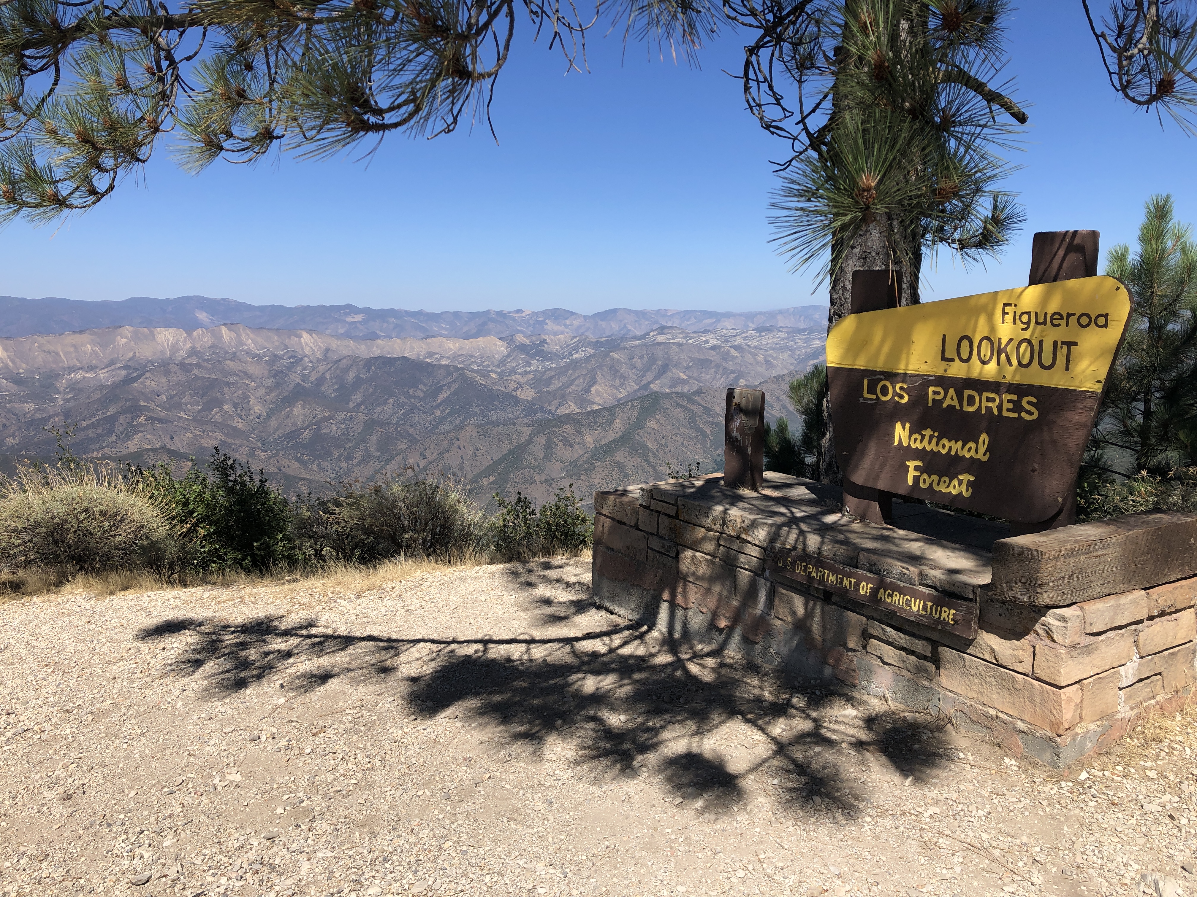
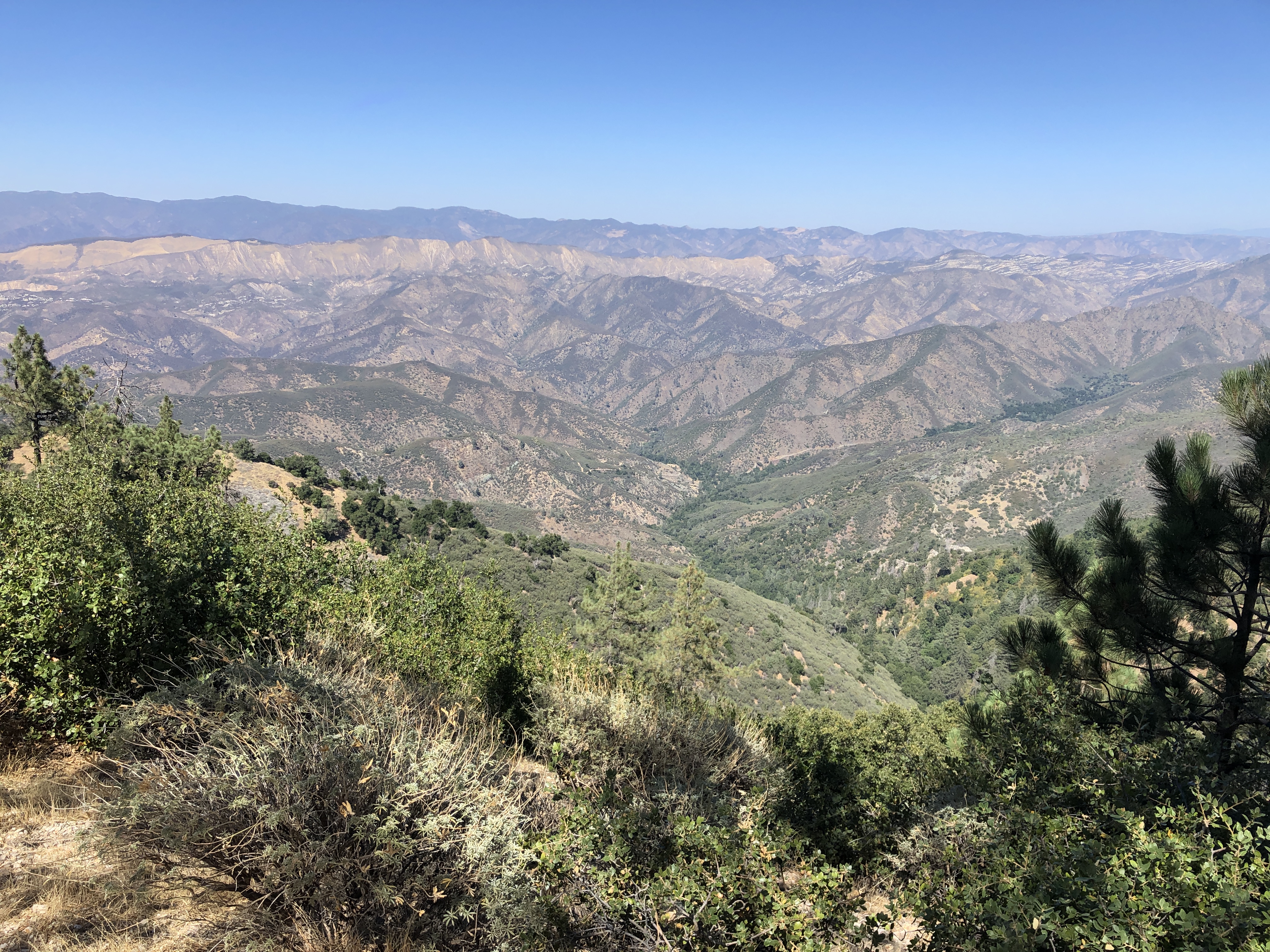
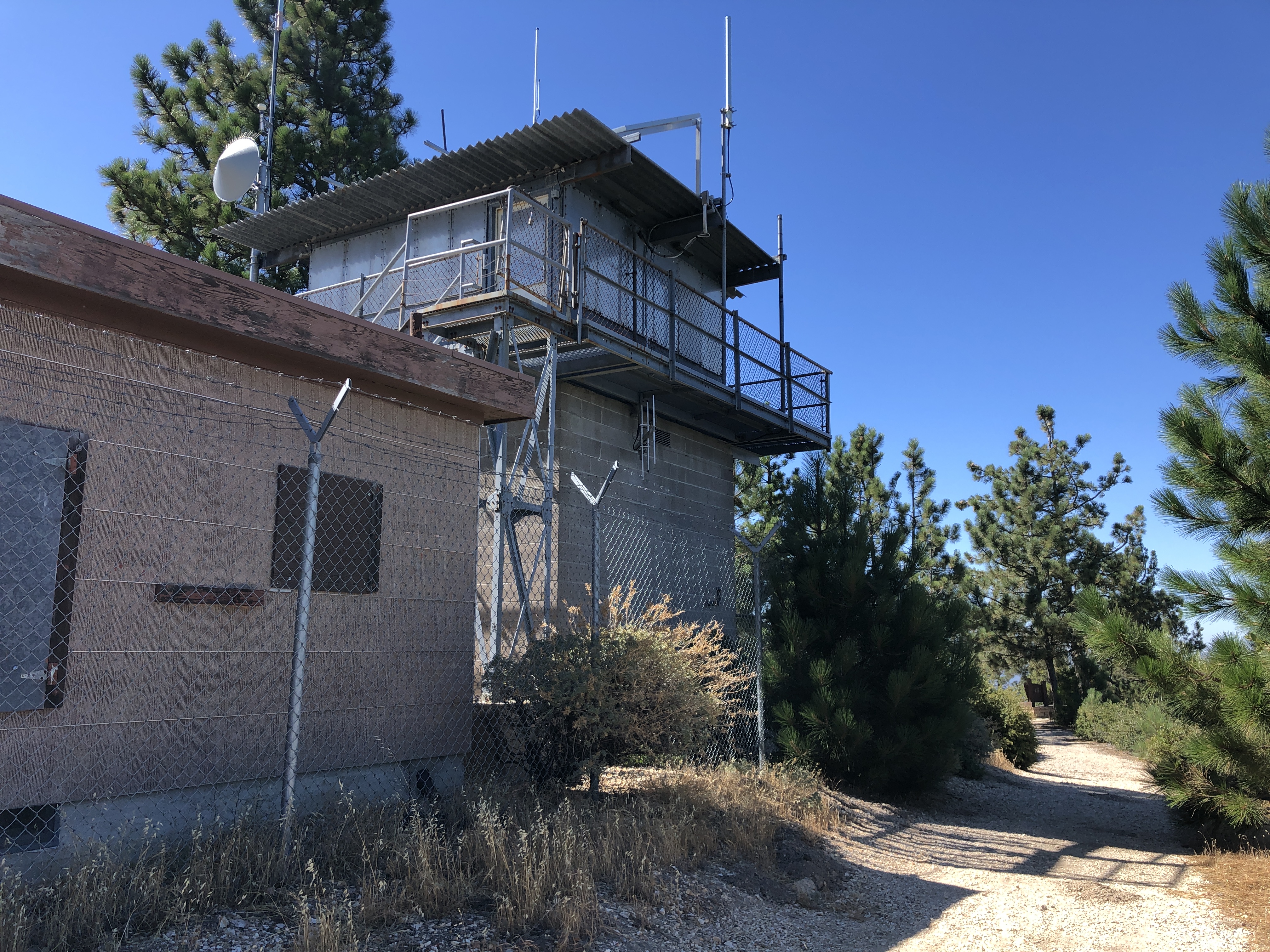
Figueroa Mountain Survey - 08-06-2020 - by J Gro
Link: Figueroa Mountain
Date: 08-06-2020
Surveyor Name:J Gro
Camp Description:The service road up to the old Figueroa Lookout is closed to vehicle traffic, it's a 2 mile hike up 900 feet to the top. The lookout still stands, boarded up and surrounded by barbed wire, and the old interpretation has been removed. Great views to the east of Cuyama, and west to Lompoc and the Pacific Ocean.  
Water Source:Dry
Water Source Details:
Weather Conditions:82 degrees and clear skies

Leave A Report

Survey / Report Form - Please click this box to open the form.


Last Updated: Tuesday, August 13, 2013


Join Mailing List
×
Get updates on conditions, surveys and more...


Current Weather »


L.P.N.F. Contacts »

  • Forest Headquarters
    Phone: (805) 968-6640
  • Mt. Pinos District
    Phone: (661) 245-3731
  • Ojai Ranger District
    Phone: (805) 646-4348
  • Santa Barbara District
    Phone: (805) 967-3481
  • Santa Lucia District
    Phone: (805) 925-9538
  • Monterey District
    Phone: (831) 385-5434