Welcome To Hike Los Padres!
User Log In or Sign Up
Use Marker Cluster
Markers: Use Marker Groups
Time used: ms
Routes
    Trails
    OHV Trails
    Forest Roads
    Streams
Wildfire Layers
    Wolf 2002
    Piru 2003
    Day 2006
    Zaca 2007
    Gap 2008
    La Brea 2009
Forest Layers
    Forest Boundary
    Wilderness Areas
    Ranger Districts
    Counties
    Topographic Outlines
    Trailheads
    OHV Trailheads
Helpful Hints
    ↣ Right click the map for location data. ↣ Click a stream for Water Stats.

Dry Lakes Ridge - Los Padres National Forest

34.54288029, -119.2683261

Details

  • TopoMap: Wheeler Springs
  • Elevation: 4860 feet
  • Wilderness Area: Non Wilderness Area
  • County: Ventura County
  • Ranger District: Ojai Ranger District
  • Longitude: -119.2683261
  • Latitude: 34.54288029
  • Water Sources: No Water Available
  • Recent Water Reports:

    Date Surveyor Water Report
    05-22-2021Anonymous SurveyorDry
    01-16-2016Shaddus Maximus Dry
Photo: Craig R. Carey
http://www.craigrcarey.net
Upload Image
Survey This Location

Description:

Dry Lakes Ridge trial is located right after the trun - 4860 feet

Survey Photos:


  • Anonymous Surveyor - 05-22-2021
    The 1st Dry Lake I encountered going west

  • Anonymous Surveyor - 05-22-2021
    Maybe part of the 2nd?

  • Anonymous Surveyor - 05-22-2021
    The 3rd Lake. It's the largest and best defined.

Weather Forecasts for Dry Lakes Ridge


Submitted Reports

Dry Lakes Ridge Survey - 05-22-2021 - by Anonymous Surveyor
Link: Dry Lakes Ridge
Date: 05-22-2021
Surveyor Name:Anonymous Surveyor
Camp Description:I entered at Route 33 and made it to the 3rd dry lake. Wonderful hike. 
Water Source:Dry
Water Source Details:
Weather Conditions:Some cloud cover but mostly sunny. Temp high 50's.
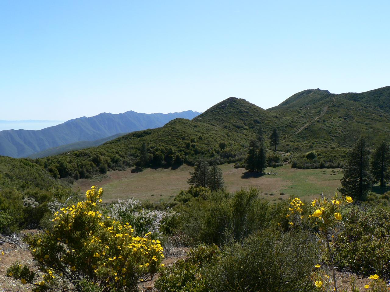
Images:

The 1st Dry Lake I encountered going west

Maybe part of the 2nd?


The 3rd Lake. It's the largest and best defined.
Dry Lakes Ridge Survey - 01-16-2016 - by Shaddus Maximus
Link: Dry Lakes Ridge
Date: 01-16-2016
Surveyor Name:Shaddus Maximus
Camp Description:Trail is faint and it's easy to lose at some points, but if you stay atop the ridge, you'll be OK. 
Water Source:Dry
Water Source Details:There is no water available along this trail.
Weather Conditions:

Leave A Report

Survey / Report Form - Please click this box to open the form.


Last Updated: Tuesday, December 16, 2014


Join Mailing List
×
Get updates on conditions, surveys and more...


Current Weather »


L.P.N.F. Contacts »

  • Forest Headquarters
    Phone: (805) 968-6640
  • Mt. Pinos District
    Phone: (661) 245-3731
  • Ojai Ranger District
    Phone: (805) 646-4348
  • Santa Barbara District
    Phone: (805) 967-3481
  • Santa Lucia District
    Phone: (805) 925-9538
  • Monterey District
    Phone: (831) 385-5434