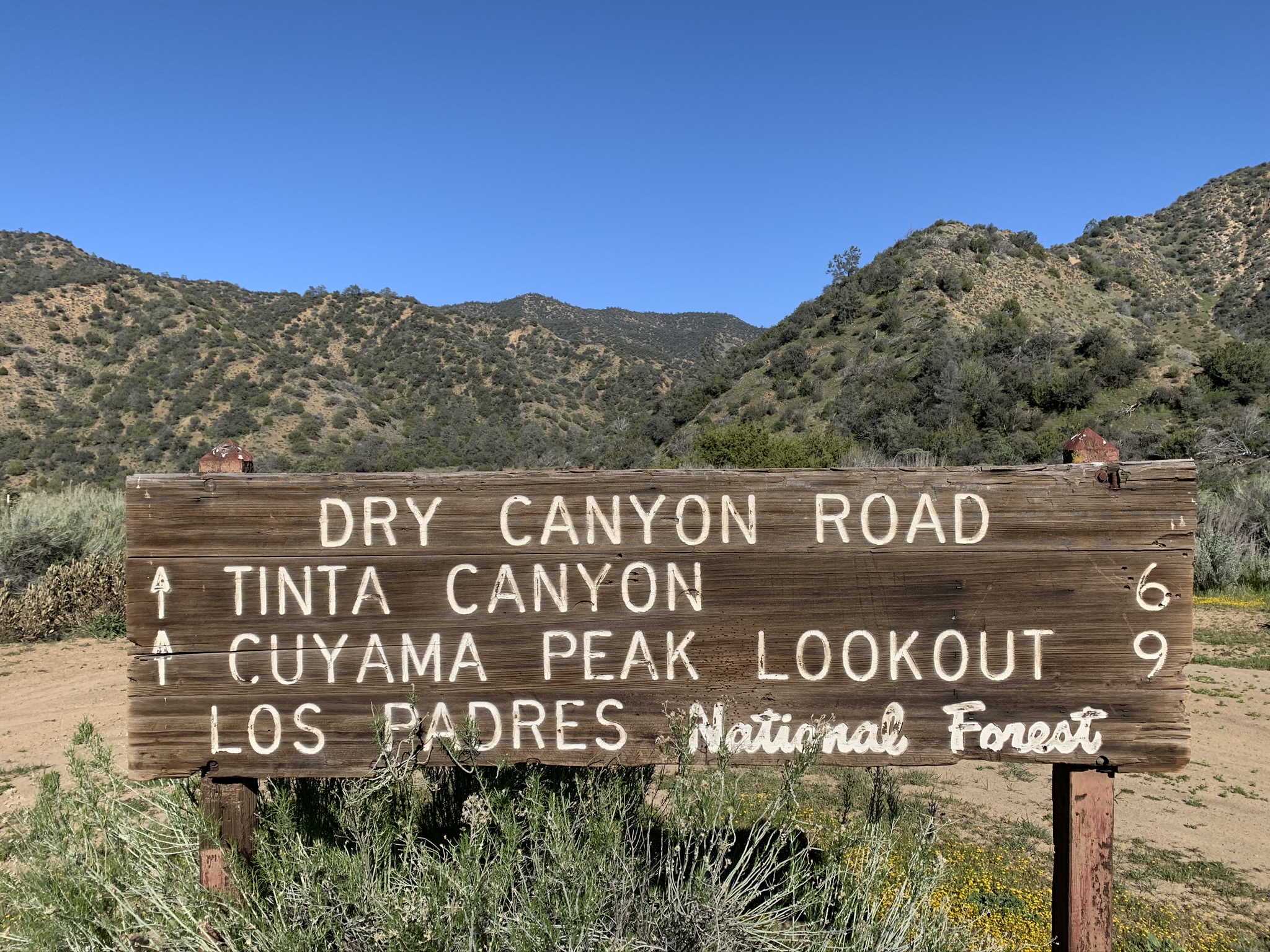
 Use Marker Groups
 Wolf 2002
Piru 2003
Day 2006
Zaca 2007
Gap 2008
La Brea 2009

| Date | Surveyor | Water Report |
| 04-18-2020 | Antonio Calderon | Flowing |
| 04-14-2017 | Mike Maki | Dry |
| 03-28-2016 | Los Padres Forest Association | Dry |


 Dry Canyon Survey - 04-18-2020 - by Antonio Calderon
| Link: | Dry Canyon |
| Date: | 04-18-2020 |
| Surveyor Name: | Antonio Calderon |
| Camp Description: | Road is in good condition all the way to the peak except for a big washout section at about mile three which  we had to fill up with boulders in order to get through. Water was flowing at the beginning of tinta trail as well as about one mile in. We saw a lot of bear tracks all  along the road. |
| Water Source: | Flowing |
| Water Source Details: | Water was flowing at tinta trailhead |
| Weather Conditions: | 70 F cloudy and windy |
| Images: | Washed out section Looking down dry canyon |
Dry Canyon Survey - 04-14-2017 - by Mike Maki| Link: | Dry Canyon |
| Date: | 04-14-2017 |
| Surveyor Name: | Mike Maki |
| Camp Description: | Hiked down Dry Canyon after coming up Tinta Canyon and bagging Cuyama Peak. Wide dirt road. Easy to walk. There was water in Tinta where it joined the road and water at the bottom in Santa Barbara Canyon. Will require some work for vehicular traffic as some culverts are washed out. Bear scat and tracks. Mt Lion tracks. Some pics. |
| Water Source: | Dry |
| Water Source Details: | |
| Weather Conditions: | Clear, cool, breezy, 60s. |
| Images: | Looking down road from near top near Tinta Trail Typical Dry Canyon Raod Big Cat tracks Looking up Dry Canyon from about two miles from Santa Barbara Canyon Washed out culvert near bottom of road |
Dry Canyon Survey - 03-28-2016 - by Los Padres Forest Association| Link: | Dry Canyon |
| Date: | 03-28-2016 |
| Surveyor Name: | Los Padres Forest Association |
| Camp Description: | Another exploration by ValHikes: http://valhikes.blogspot.com/2016/03/santa-barbara-and-dry-canyons.html?utm_source=feedburner&utm_medium=email&utm_campaign=Feed%3A+MomentsInDirtAndInk+%28Moments+in+Dirt+and+Ink%29 |
| Water Source: | Dry |
| Water Source Details: | |
| Weather Conditions: |

 Survey / Report Form - Please click this box to open the form.