 Use Marker Groups
 Wolf 2002
Piru 2003
Day 2006
Zaca 2007
Gap 2008
La Brea 2009

| Date | Surveyor | Water Report |
| 04-03-2022 | Christopher P. Lord | Trickle |
| 06-11-2020 | Jess Haas | Flowing |
| 05-10-2020 | Anonymous Surveyor | Flowing |
| 07-09-2019 | Carol Day | Stagnant |
| 06-19-2018 | Anonymous Surveyor | Dry |
| 10-02-2015 | Geoff | Stagnant |
| 09-23-2015 | Simigang | Stagnant |

 Cow Spring Survey - 04-03-2022 - by Christopher P. Lord
| Link: | Cow Spring |
| Date: | 04-03-2022 |
| Surveyor Name: | Christopher P. Lord |
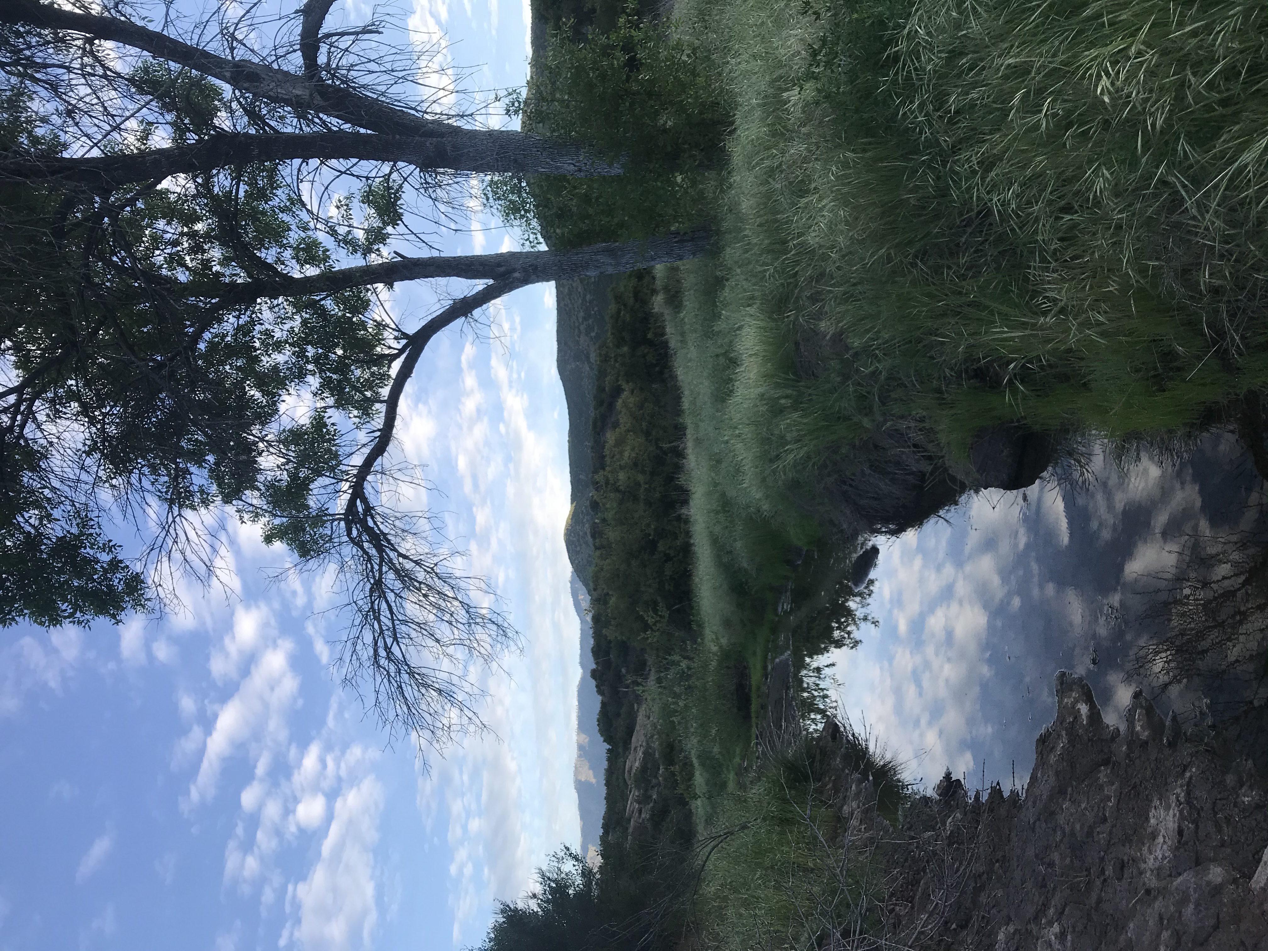
| Camp Description: | Spring is a trickle but still plenty to filter. Pretty out there right now. |
| Water Source: | Trickle |
| Water Source Details: | |
| Weather Conditions: | |
| Images: | |
Cow Spring Survey - 06-11-2020 - by Jess Haas| Link: | Cow Spring |
| Date: | 06-11-2020 |
| Surveyor Name: | Jess Haas |
| Camp Description: | Cattle trough across the trail is disconnected. Didn't bushwack back to see if the actual cow spring was there. |
| Water Source: | Flowing |
| Water Source Details: | Went up creek to where the water falls down the rocks. Was able to place bag against rocks and catch the flowing water. |
| Weather Conditions: | 94F |
Cow Spring Survey - 05-10-2020 - by Anonymous Surveyor| Link: | Cow Spring |
| Date: | 05-10-2020 |
| Surveyor Name: | Anonymous Surveyor |
| Camp Description: | Slow flowing on bedrock through camp with some pools about 4†deep |
| Water Source: | Flowing |
| Water Source Details: | |
| Weather Conditions: |
Cow Spring Survey - 07-09-2019 - by Carol Day| Link: | Cow Spring |
| Date: | 07-09-2019 |
| Surveyor Name: | Carol Day |
| Camp Description: | The trail is overgrown along much of its length, mostly with star thistle and soft brush (grasses, deer weed, etc.) Â The buckwheat is in full bloom, and there are still a few other scattered wildflowers, especially the late bloomers (especially penstemons). Â The trail is very much eroded in places. Â The camp is fairly clear and clean but uninteresting. The road to the trailhead is rough, as usual, but an high clearance vehicle can make it. Â There were two other vehicles at the trailhead, but we didn't pass anyone on the trail |
| Water Source: | Stagnant |
| Water Source Details: | dry at Stone Corral; a little stagnant water near Squaw Flat |
| Weather Conditions: |
Cow Spring Survey - 06-19-2018 - by Anonymous Surveyor| Link: | Cow Spring |
| Date: | 06-19-2018 |
| Surveyor Name: | Anonymous Surveyor |
| Camp Description: | |
| Water Source: | Dry |
| Water Source Details: | |
| Weather Conditions: |
Cow Spring Survey - 10-02-2015 - by Geoff| Link: | Cow Spring |
| Date: | 10-02-2015 |
| Surveyor Name: | Geoff |
| Camp Description: |
The location of Cow Spring varies on different reference maps. The USGS topographic map suggests the spring is about 400 ft north-northwest of the Cow Spring Camp. I do not believe you will find any water at that location. This Internet site suggests the spring is located on a north facing slope on the south side of the creek, about 325 ft southeast of the campsite. The vegetation on the slope is rather thick and therefore I have not been to that location. However, I did find stagnant pools (flow with barely a trickle) in the creek below and/or downstream from the reported location, which were easily reached from the campsite by walking upstream (east-northeast). For the past several seasons, I have seen deer hunters and hikers camping at Cow Springs Camp. A favorite or most private place for the campers to shit has been directly in the creek bed, only slightly downstream from the water pools. I have seen shit and toilet paper shallowly buried or at the surface along the dry portions of the creek bed and where the soil becomes moist. The closest I have seen shit and toilet paper to standing water is within about 10 ft. I do not know if the water is contaminated, but the sight of shit and toilet paper in the creek bed so close to the pools has kept me looking for water elsewhere. One of the best water sources I have found near this portion of the Alder Creek Trail is at Stone Corral Creek near 118.910383°W 34.559467°N. I believe water there is year round. It is clear, trickling to slightly flowing, and there are pools deep enough to submerge a water bottle. Unfortunately, access to this portion of the creek requires you to trespass approximately 580 ft into the Sespe Condor Sanctuary. Also, this portion of the creek is about 0.25 mi downstream from the Cow Spring area. |
| Water Source: | Stagnant |
| Water Source Details: | Stagnant pools in the creek south-southeast of the campsite. |
| Weather Conditions: | Sunny, warm. |
Cow Spring Survey - 09-23-2015 - by Simigang| Link: | Cow Spring |
| Date: | 09-23-2015 |
| Surveyor Name: | Simigang |
| Camp Description: | Very minimal shade in camp |
| Water Source: | Stagnant |
| Water Source Details: | A couple of stagnant pools in the creekbed 20 yards upstream from camp. |
| Weather Conditions: | sunny and 80 degrees |

 Survey / Report Form - Please click this box to open the form.