 Use Marker Groups
 Wolf 2002
Piru 2003
Day 2006
Zaca 2007
Gap 2008
La Brea 2009

| Date | Surveyor | Water Report |
| 02-16-2017 | Dave Burnett | Dry |


 Whitaker Peak Survey - 02-16-2017 - by Dave Burnett
| Link: | Whitaker Peak |
| Date: | 02-16-2017 |
| Surveyor Name: | Dave Burnett |
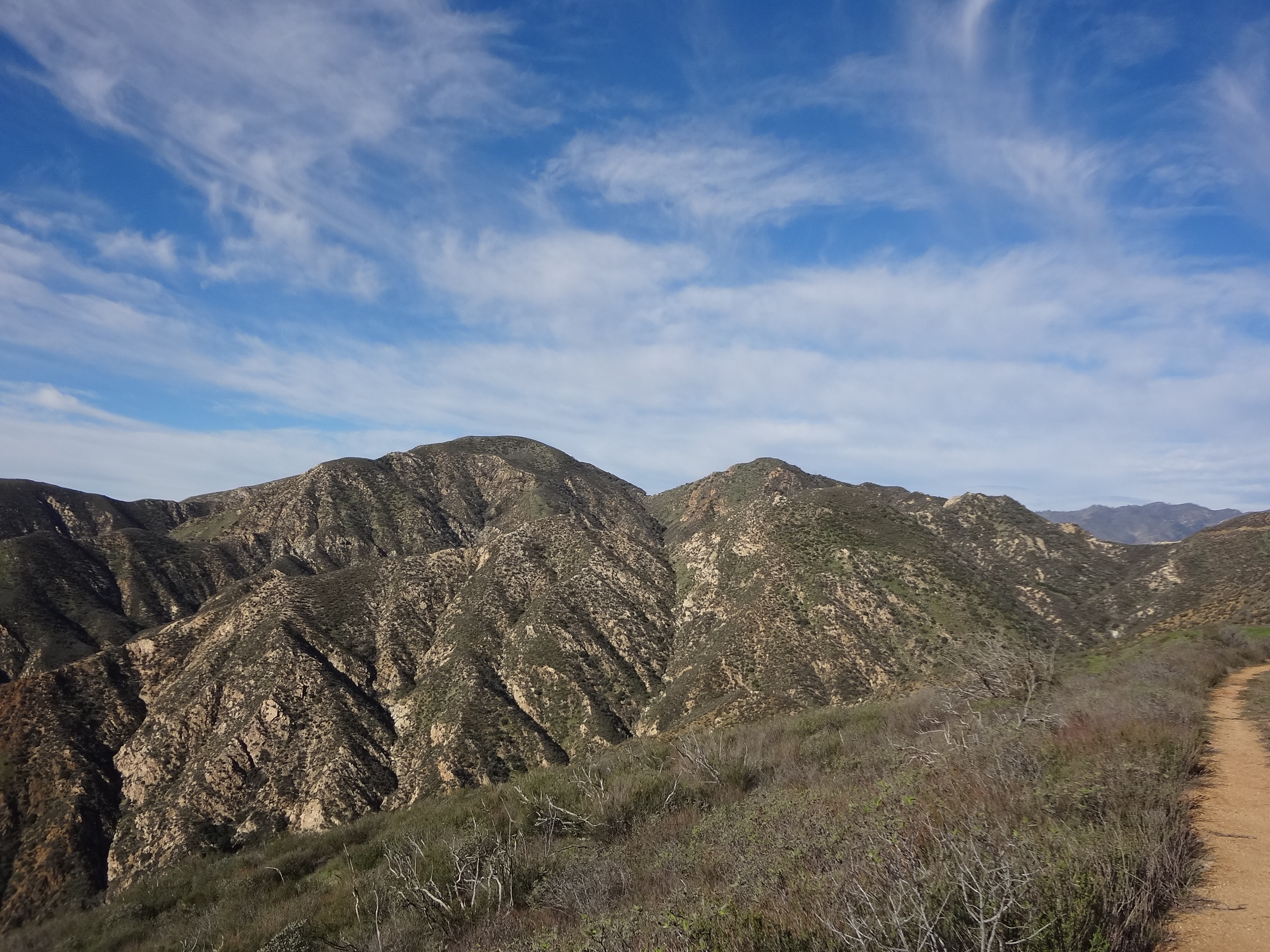
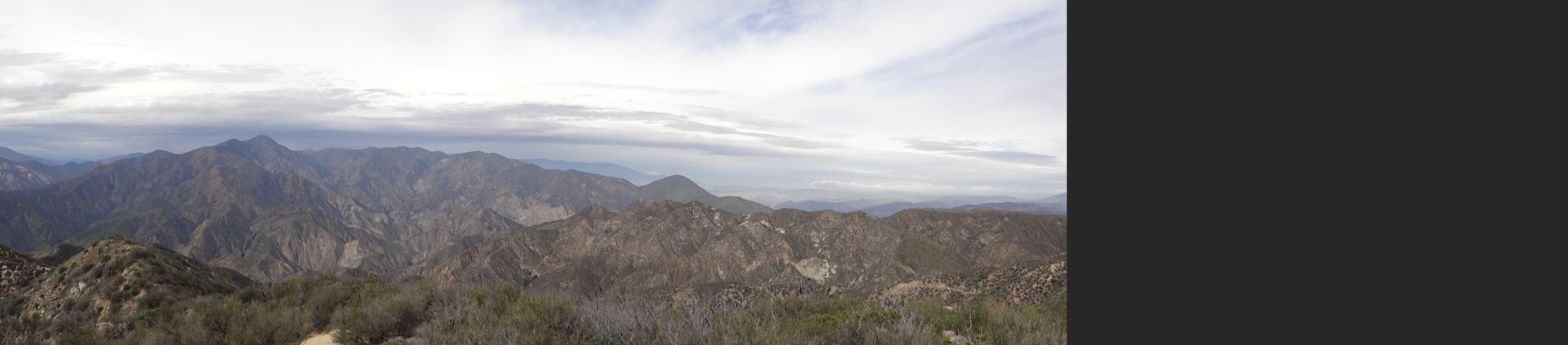
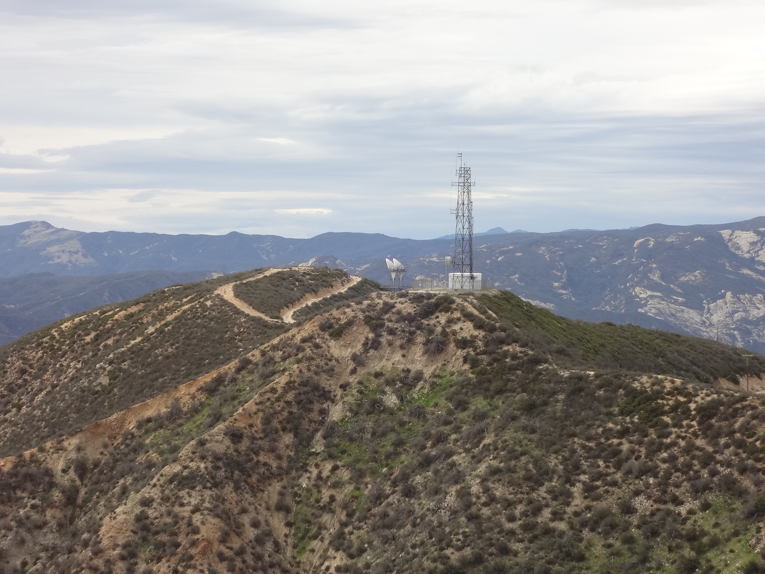
| Camp Description: | Day hike on Thursday, 2/16/17 with two other hikers. Â Day was cloudy with some threat of rain seen to the north, but we stayed dry. Â Our hike was about 9 miles RT. Â We did not follow the road the entire distance, starting on a firebreak about 3/4 miles south of the main trailhead. Â Very steep and challenging, but fun. Â From there we also took a couple of side trails as much as was practical. Â See the included track and profile for a summary of this hike. Â Note that the 3D vies of the track is to the southeast from high above a location roughly above Cobblestone Mountain. Â Hike took about 5 hours including time for rest and geocaching. Â No issues with the trail(road, mostly). Â Off road was mostly on a reasonably well-defined path. Â Most challenging was the narrow ridge from the location of the fire tower (now removed) to the actual peak. Â This was generally brush covered. Great views, especially of Cobblestone Mountain, Slide Mountain and Piru Lake. |
| Water Source: | Dry |
| Water Source Details: | |
| Weather Conditions: | Cloudy with temp in 60's |
| Images: | 3D track of hike to Whitaker Peak. View to SE Hike Profile |

 Survey / Report Form - Please click this box to open the form.