Welcome To Hike Los Padres!
User Log In or Sign Up
Use Marker Cluster
Markers: Use Marker Groups
Time used: ms
Routes
    Trails
    OHV Trails
    Forest Roads
    Streams
Wildfire Layers
    Wolf 2002
    Piru 2003
    Day 2006
    Zaca 2007
    Gap 2008
    La Brea 2009
Forest Layers
    Forest Boundary
    Wilderness Areas
    Ranger Districts
    Counties
    Topographic Outlines
    Trailheads
    OHV Trailheads
Helpful Hints
    ↣ Right click the map for location data. ↣ Click a stream for Water Stats.

Romero Saddle Gate - Los Padres National Forest
34.476315, -119.595345

Gate Details

  • GateStatus: Closed
  • County: Santa Barbara County
  • Ranger District: Santa Barbara Ranger District
  • Longitude: -119.595345
  • Latitude: 34.476315

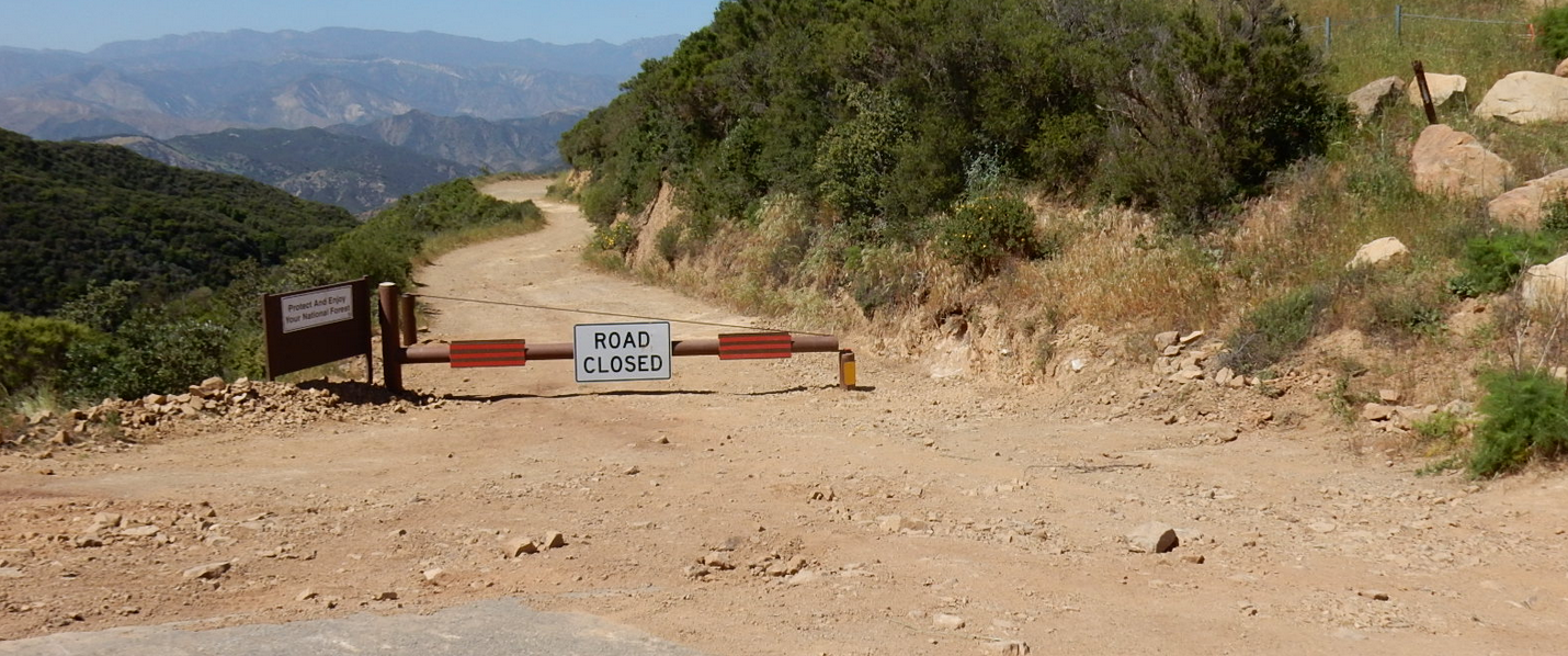
This gate was installed in April 2017 due to road damage on the Romero Camuesa Rd.  The Romero Camuesa was undercut near the Romero Trail crossing and is unsafe for large vehicle travel at the moment.  The Forest Service engineers are working on fixing the road and hope to get that completed sometime in 2017.  Until then, the road will be closed at this point.


Photo: Los Padres National Forest


Last Updated: Friday, May 12, 2017


Join Mailing List
×
Get updates on conditions, surveys and more...


Current Weather »


L.P.N.F. Contacts »

  • Forest Headquarters
    Phone: (805) 968-6640
  • Mt. Pinos District
    Phone: (661) 245-3731
  • Ojai Ranger District
    Phone: (805) 646-4348
  • Santa Barbara District
    Phone: (805) 967-3481
  • Santa Lucia District
    Phone: (805) 925-9538
  • Monterey District
    Phone: (831) 385-5434