 Use Marker Groups
 Wolf 2002
Piru 2003
Day 2006
Zaca 2007
Gap 2008
La Brea 2009

| Date | Surveyor | Water Report |
| 08-19-2018 | Christopher P. Lord | Dry |
| 08-9-2019 | Matt and Sharon | Dry |
Numerous rare and some endangered species are confined to a small area at the top of Mt. Pinos. The area was set aside to protect these unusual plants. Pinis Flexilis Limber Pine grows in a small area at the top of the mountain. Among the pines Kennedy's buckwheat, a low growing gray mat forming species is found. It was at one time heavily collected to use in producing Ming trees. All plants in this reserve are to be protected and enjoyed in their natural setting here at this high elevation.
During the winter months, after big storms come down the coast, a good covering of snow is deposited on the upper part of the mountains. This snow often is not very deep and melts in a few days. While the snow lasts many people drive up from the Los Angeles area for snow fun. Often there is not enough off-road parking and the road becomes a parking lot, Years ago the Taft Recreation Department built a Iodge and ski run at the top of Mount Cero Noroeste (Mount Abet). Now the lodge is in ruins and the trees have grown up to cover the ski slope.
From I-5, take Frazier Park exit (Frazier Mountain Park Road). Go west approximately 6 miles. The road name changes to Cuddy Valley Road. Continue on it up Mt. Pinos. The road name changes to Mt. Pinos Highway. Mt. Pinos Campground is approximately 7 miles further on the southeast side of road.


 Mt Pinos Campground Survey - 08-19-2018 - by Christopher P. Lord
| Link: | Mt Pinos Campground |
| Date: | 08-19-2018 |
| Surveyor Name: | Christopher P. Lord |
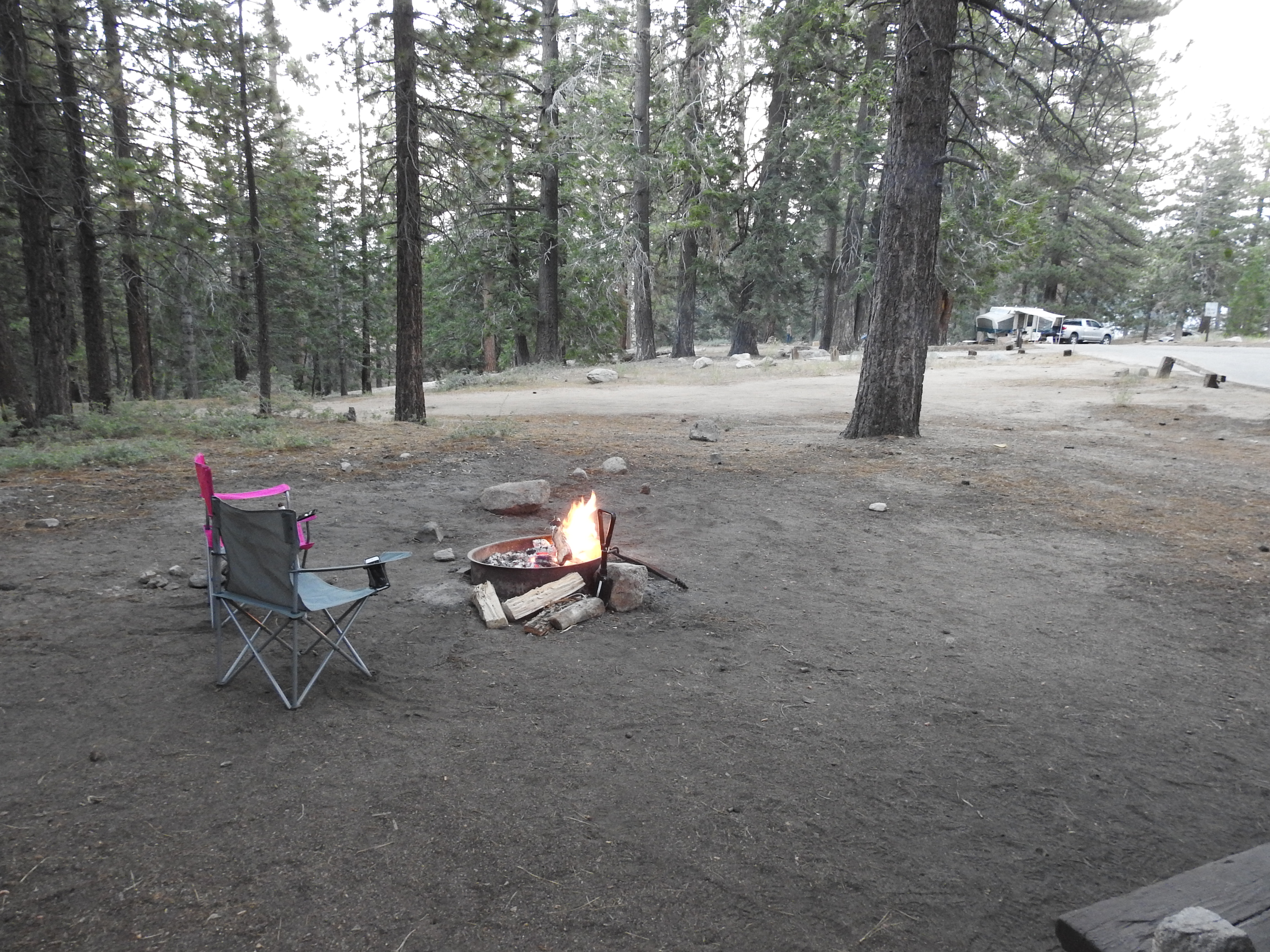
| Camp Description: | Did not spend the night just drove in to check it out. Camp looked in good shape but was crowded. Temperature was so much nicer up here than down in the Valley. Plenty of parking available at the Turn out. https://christopherplord.blogspot.com |
| Water Source: | Dry |
| Water Source Details: | |
| Weather Conditions: | |
| Images: | |
Mt Pinos Campground Survey - 08-9-2019 - by Matt and Sharon| Link: | Mt Pinos Campground |
| Date: | 08-9-2019 |
| Surveyor Name: | Matt and Sharon |
| Camp Description: | |
| Water Source: | Dry |
| Water Source Details: | The water has been shut off. Make sure you bring whatever you need before you get there. |
| Weather Conditions: |
 Survey / Report Form