Use Marker Groups
 Wolf 2002
Piru 2003
Day 2006
Zaca 2007
Gap 2008
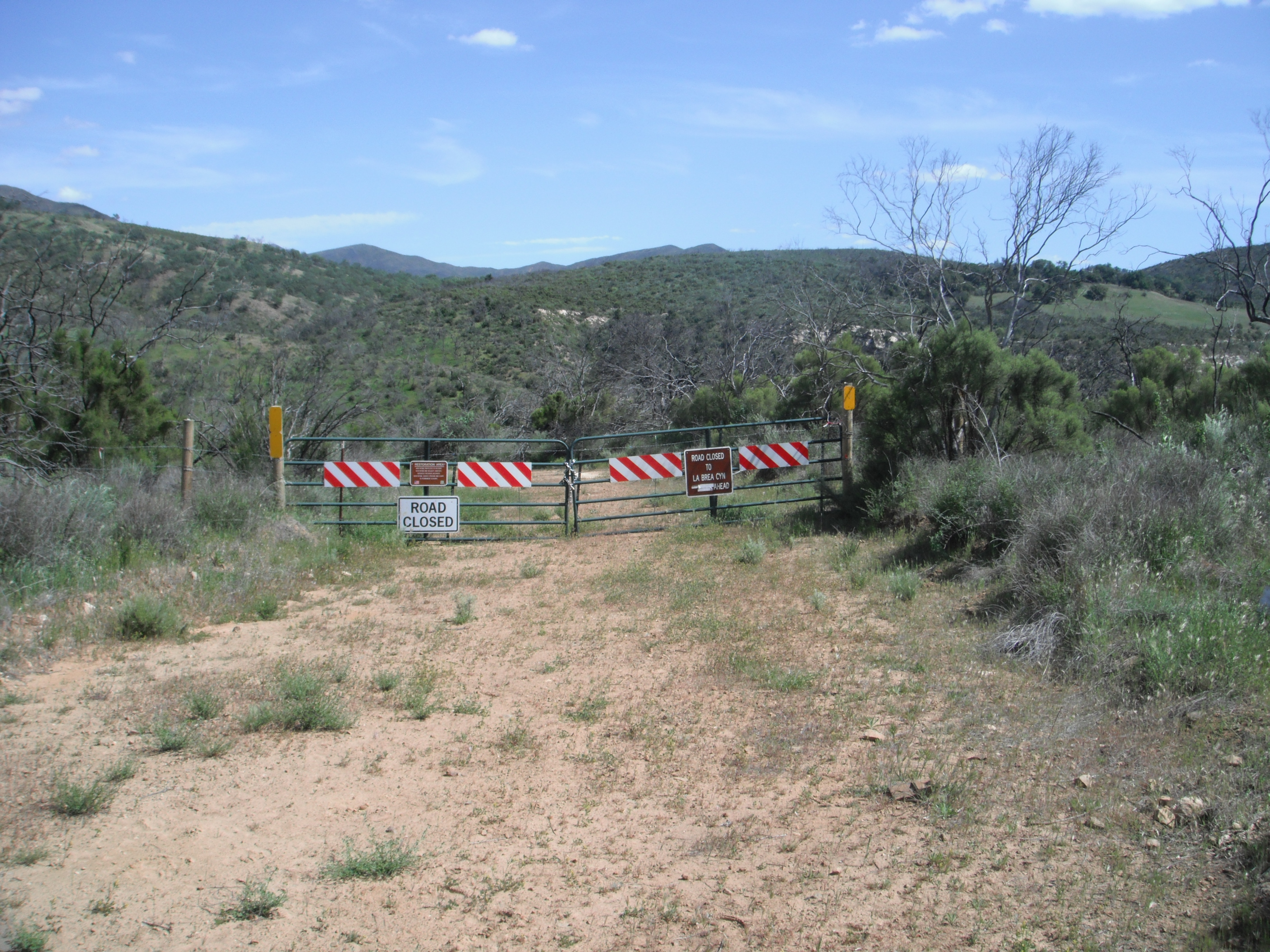
La Brea 2009

In August 2009 the La Brea Fire ripped through this part of the Forest and caused many of the roads and trails to close while the vegetation recovered. The 2011 floods wiped out large swaths of the La Brea Rd as it criss-crossed through the lower creek area. It was determined that the road was not fixable without a huge influx of money and ultimately the lower portion of La Brea Rd was permanently closed. This gate marks where the road was closed when coming down from the Miranda Pine area. Perhaps one day the road will connect again between Miranda Pine and Colson Canyon. Unfortunately that day is not now.