Welcome To Hike Los Padres!
User Log In or Sign Up
Use Marker Cluster
Markers: Use Marker Groups
Time used: ms
Routes
    Trails
    OHV Trails
    Forest Roads
    Streams
Wildfire Layers
    Wolf 2002
    Piru 2003
    Day 2006
    Zaca 2007
    Gap 2008
    La Brea 2009
Forest Layers
    Forest Boundary
    Wilderness Areas
    Ranger Districts
    Counties
    Topographic Outlines
    Trailheads
    OHV Trailheads
Helpful Hints
    ↣ Right click the map for location data. ↣ Click a stream for Water Stats.

East Ranger Peak Gate - Los Padres National Forest
34.722607, -119.947382

Gate Details

  • GateStatus: Open
  • County: Santa Barbara County
  • Ranger District: Santa Lucia Ranger District
  • Longitude: -119.947382
  • Latitude: 34.722607

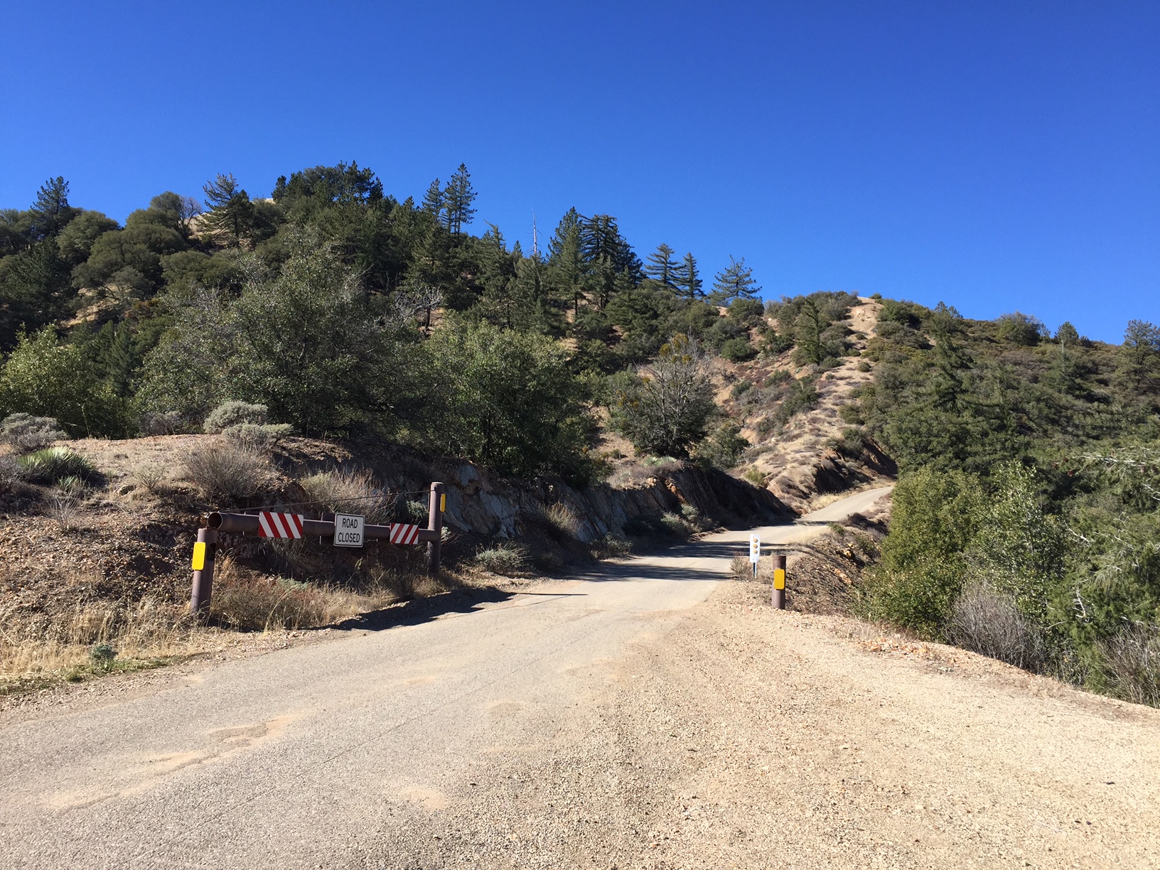
This gate is on the eastern side of Ranger Peak along Figueroa Mtn Road.  We've never heard of it being locked or closed.  Usually if the Forest Service is going to close the road they will do so at Cachuma Saddle or at the main Ranger Peak Gate.


Photo: Conant
www.BryanConant.com


Last Updated: Wednesday, February 10, 2016


Join Mailing List
×
Get updates on conditions, surveys and more...


Current Weather »


L.P.N.F. Contacts »

  • Forest Headquarters
    Phone: (805) 968-6640
  • Mt. Pinos District
    Phone: (661) 245-3731
  • Ojai Ranger District
    Phone: (805) 646-4348
  • Santa Barbara District
    Phone: (805) 967-3481
  • Santa Lucia District
    Phone: (805) 925-9538
  • Monterey District
    Phone: (831) 385-5434