Welcome To Hike Los Padres!
User Log In or Sign Up
Use Marker Cluster
Markers: Use Marker Groups
Time used: ms
Routes
    Trails
    OHV Trails
    Forest Roads
    Streams
Wildfire Layers
    Wolf 2002
    Piru 2003
    Day 2006
    Zaca 2007
    Gap 2008
    La Brea 2009
Forest Layers
    Forest Boundary
    Wilderness Areas
    Ranger Districts
    Counties
    Topographic Outlines
    Trailheads
    OHV Trailheads
Helpful Hints
    ↣ Right click the map for location data. ↣ Click a stream for Water Stats.

East Cuesta Gate - Los Padres National Forest
35.350461, -120.631806

Gate Details

  • GateStatus: Always_Locked
  • County: San Luis Obispo County
  • Ranger District: Santa Lucia Ranger District
  • Longitude: -120.631806
  • Latitude: 35.350461

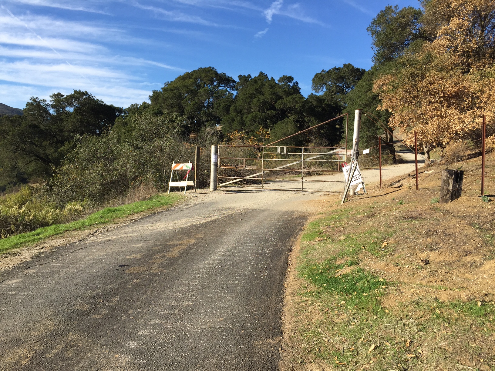
This gate is permanently locked to the public.  It is on the east side of Hwy 101 at Cuesta Grade.  East Cuesta Ridge Rd is passable for hikers, horse and mtn bikers only.  Ranch owners, utility services and the Forest Service can access the road with vehicles.


Photo: Conant
www.BryanConant.com


Last Updated: Wednesday, February 10, 2016


Join Mailing List
×
Get updates on conditions, surveys and more...


Current Weather »


L.P.N.F. Contacts »

  • Forest Headquarters
    Phone: (805) 968-6640
  • Mt. Pinos District
    Phone: (661) 245-3731
  • Ojai Ranger District
    Phone: (805) 646-4348
  • Santa Barbara District
    Phone: (805) 967-3481
  • Santa Lucia District
    Phone: (805) 925-9538
  • Monterey District
    Phone: (831) 385-5434