 Use Marker Groups
 Wolf 2002
Piru 2003
Day 2006
Zaca 2007
Gap 2008
La Brea 2009

| Date | Surveyor | Water Report |
| 02-22-2024 | Sophie E | Flowing |
| 11-19-2022 | Adam Donald | Flowing |
| 07-08-2022 | Anonymous Surveyor | Dry |
| 03-21-2021 | Anonymous Surveyor | Flowing |
| 10-24-2020 | Antonio Calderon | Flowing |
| 03-24-2019 | Christopher P. Lord | Flowing |
| 11-09-2018 | Reece M | Flowing |
| 08-07-2016 | Josh Isaac | Flowing |
| 01-18-2016 | JO | Flowing |
| 10-12-2015 | Jeremy Scarlett | Flowing |
| 06-18-2015 | Anonymous Surveyor | Flowing |
A small primitive trail camp located on the Last Chance Trail(21W09).


 Cross Camp Survey - 02-22-2024 - by Sophie E
| Link: | Cross Camp |
| Date: | 02-22-2024 |
| Surveyor Name: | Sophie E |
| Camp Description: | |
| Water Source: | Flowing |
| Water Source Details: | significant flow |
| Weather Conditions: | |
| Images: | found multiple fossils where there were recent slides over the trail |
Cross Camp Survey - 11-19-2022 - by Adam Donald| Link: | Cross Camp |
| Date: | 11-19-2022 |
| Surveyor Name: | Adam Donald |
| Camp Description: | Camp is in good shape, easy access to the creek. |
| Water Source: | Flowing |
| Water Source Details: | Good flow in Santa Paula Creek |
| Weather Conditions: |
Cross Camp Survey - 07-08-2022 - by Anonymous Surveyor| Link: | Cross Camp |
| Date: | 07-08-2022 |
| Surveyor Name: | Anonymous Surveyor |
| Camp Description: | |
| Water Source: | Dry |
| Water Source Details: | |
| Weather Conditions: |
Cross Camp Survey - 03-21-2021 - by Anonymous Surveyor| Link: | Cross Camp |
| Date: | 03-21-2021 |
| Surveyor Name: | Anonymous Surveyor |
| Camp Description: | Campsites were in great condition. There are fire rings at all 3. Smattering of poison oak along the trail by the campsite across the creek. |
| Water Source: | Flowing |
| Water Source Details: | Solid steady flow |
| Weather Conditions: | |
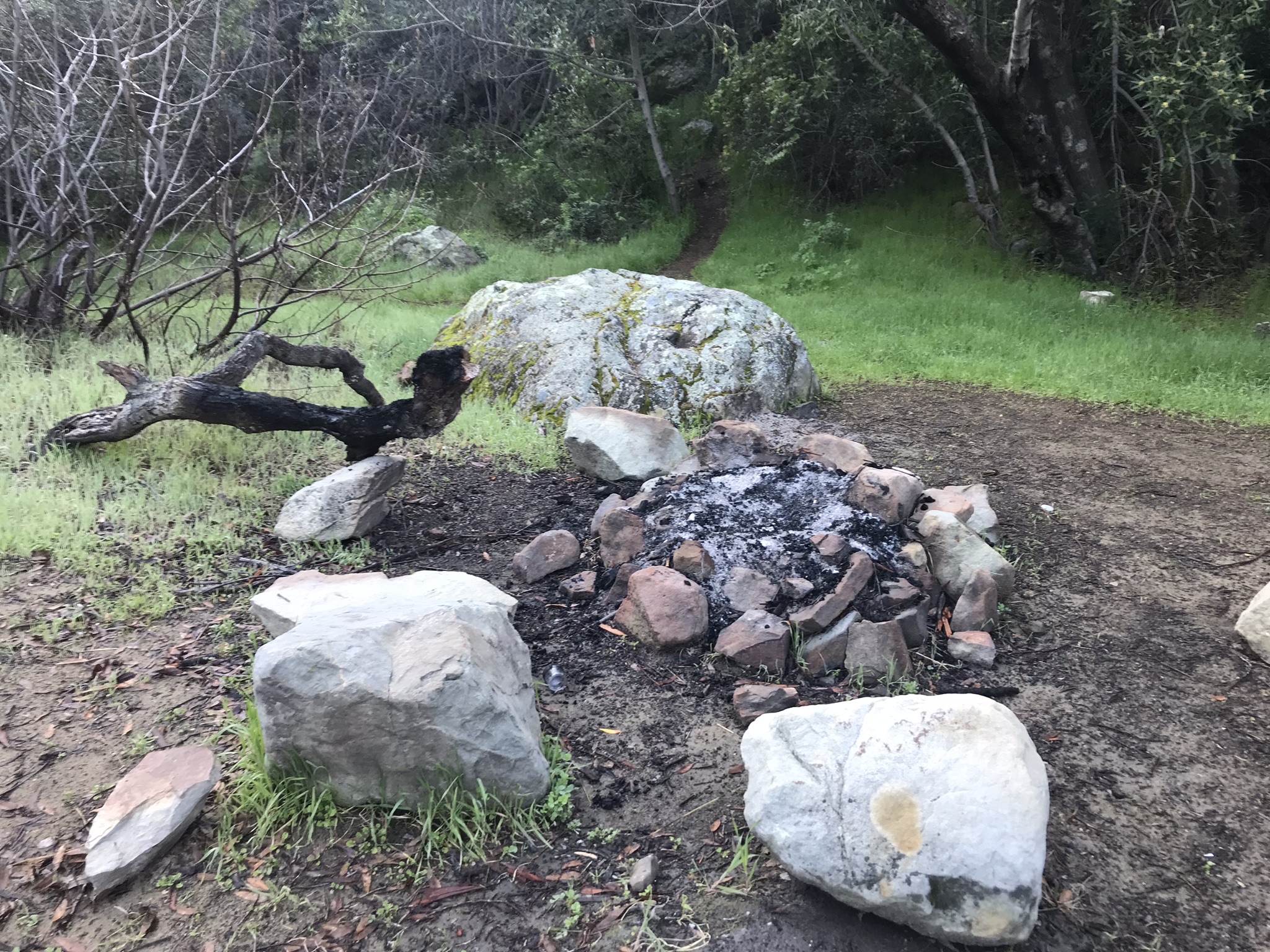
| Images: | Fire pit area Lookout |
Cross Camp Survey - 10-24-2020 - by Antonio Calderon| Link: | Cross Camp |
| Date: | 10-24-2020 |
| Surveyor Name: | Antonio Calderon |
| Camp Description: | All sites are in good shape |
| Water Source: | Flowing |
| Water Source Details: | Good water flow |
| Weather Conditions: | Cloudy 70F |
| Images: | |
Cross Camp Survey - 03-24-2019 - by Christopher P. Lord| Link: | Cross Camp |
| Date: | 03-24-2019 |
| Surveyor Name: | Christopher P. Lord |
| Camp Description: | Other than the continued problem of people leaving trash behind here the camp is in good shape with easy access to a fast flowing Santa Paula Creek at the moment. Site #1 - N34.45228° W119.05631° and site #2 - N34.45244° W119.05620° are first encountered west of the trail. Site #3 - N34.45292° W119.05617° is located across the creek up on a flat. Camp has nice fire rings and good size rocks for chairs. Further details of the days events below. |
| Water Source: | Flowing |
| Water Source Details: | |
| Weather Conditions: | |
| Images: | Site #1 Site #2 Site #3 Creek crossing between the camp sites |
Cross Camp Survey - 11-09-2018 - by Reece M| Link: | Cross Camp |
| Date: | 11-09-2018 |
| Surveyor Name: | Reece M |
| Camp Description: | Passed through yesterday & the camp looks good other than some trash left behind. I packed out what I had room for but it’s really a bummer to see people continually disrespect this canyon. I stayed the night here a few weeks ago with some friends & other than cienaga it’s my favorite place around here to camp. 2 spots on one side of the river & another spot up high across the creek. Fire pits plenty of room for tents & a cooking station that fits in the fire nicely to be used as a grill Firewood situation here isn’t plentiful just a heads up |
| Water Source: | Flowing |
| Water Source Details: | Water next to camping is flowing good & tastes great. Plenty of spots to filter from |
| Weather Conditions: | 80’s & breezy |
Cross Camp Survey - 08-07-2016 - by Josh Isaac| Link: | Cross Camp |
| Date: | 08-07-2016 |
| Surveyor Name: | Josh Isaac |
| Camp Description: | |
| Water Source: | Flowing |
| Water Source Details: | |
| Weather Conditions: | Hot. Sunny. Hot. |
Cross Camp Survey - 01-18-2016 - by JO| Link: | Cross Camp |
| Date: | 01-18-2016 |
| Surveyor Name: | JO |
| Camp Description: | Cross Camp looks the same as always. Â Some litter (cans) in fire ring in camp on other side of creek. |
| Water Source: | Flowing |
| Water Source Details: | high flow, but crossable |
| Weather Conditions: | cloudy |
Cross Camp Survey - 10-12-2015 - by Jeremy Scarlett| Link: | Cross Camp |
| Date: | 10-12-2015 |
| Surveyor Name: | Jeremy Scarlett |
| Camp Description: | Site was fairly littered with trash. 2 grill/firerings at main site, and additional firing with grill on a rocky flat up above the creek on the north side. |
| Water Source: | Flowing |
| Water Source Details: | Water flowing in Snata Paula Creek. Pools were 8' deep at the real Punchbowl Formation |
| Weather Conditions: | 92 degrees, hot |
Cross Camp Survey - 06-18-2015 - by Anonymous Surveyor| Link: | Cross Camp |
| Date: | 06-18-2015 |
| Surveyor Name: | Anonymous Surveyor |
| Camp Description: | The camp and the trail to get to it have been severely washed out and overgrown. Would not recommend, especially for a first time backpacking trip. |
| Water Source: | Flowing |
| Water Source Details: | Respectable amount of flow, but scarcely deeper than half a foot. Lots of algal growth as well |
| Weather Conditions: | Sunny and mid-80's |
 Survey / Report Form