 Use Marker Groups
 Wolf 2002
Piru 2003
Day 2006
Zaca 2007
Gap 2008
La Brea 2009

| Date | Surveyor | Water Report |
| 04-10-2021 | Addison Jerlow | Flowing |
| 04-09-2021 | Christopher P. Lord | Flowing |
| 04-02-2021 | Jesse Rodriguez | Flowing |
| 03-21-2021 | kirsten zecher | Flowing |
| 11-30-2019 | James & Sierra | Flowing |
| 12-09-2018 | Los Padres Forest Association | Flowing |
| 02-03-2018 | Los Padres Forest Association | Flowing |
| 05-13-2017 | Aria Zoner | Flowing |
| 05-11-2017 | Aria Zoner | Flowing |
| 01-18-2015 | Anonymous Surveyor | Flowing |
Located on the south side of Agua Blanca Creek on a stream terrace. A bend in the creek forms a shallow cove. Large oak trees shade the camp. It is located about 1 1/2 miles down stream from the Big Narrows. It is a good place to camp and day hike up to explore and swim the Big Narrows pools. It is a beautiful hike through the narrows.
Northwest of Lake Piru via the Piru Canyon and Blue Point roads (4N13) and Agua Blanca Trail (19W10) for 8 1/2 miles.


 Cove Camp Survey - 04-10-2021 - by Addison Jerlow
| Link: | Cove Camp |
| Date: | 04-10-2021 |
| Surveyor Name: | Addison Jerlow |
| Camp Description: | if coming downstream from the narrows, look for a cairn on your right before crossing the second tributary coming from the west after leaving the narrows. The trail leads away from the creek rather quickly and you will walk through the forest for a while before arriving right in camp. If coming upstream, camp should be easy to find on you left just after a crossing the creek. |
| Water Source: | Flowing |
| Water Source Details: | good flow |
| Weather Conditions: |
Cove Camp Survey - 04-09-2021 - by Christopher P. Lord| Link: | Cove Camp |
| Date: | 04-09-2021 |
| Surveyor Name: | Christopher P. Lord |
| Camp Description: | https://christopherplord.blogspot.com/2021/04/the-agua-blanca-trail-dough-flat-to.html |
| Water Source: | Flowing |
| Water Source Details: | |
| Weather Conditions: | |
| Images: | |
Cove Camp Survey - 04-02-2021 - by Jesse Rodriguez| Link: | Cove Camp |
| Date: | 04-02-2021 |
| Surveyor Name: | Jesse Rodriguez |
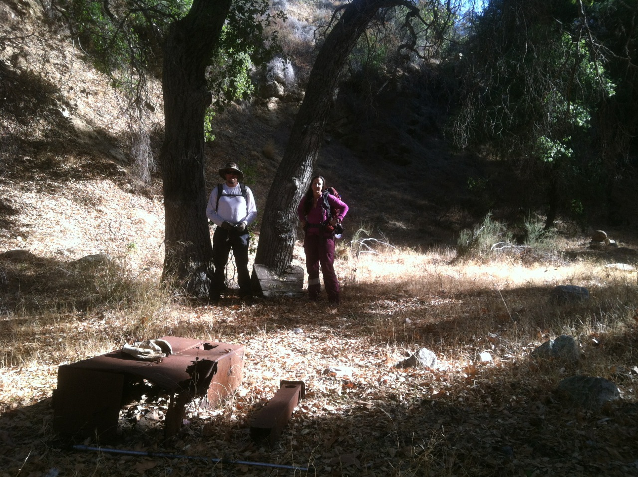
| Camp Description: | The trail to Cove Camp can be a bit tricky if you've never been here before due to the overgrowth and downed trees which cover this once ancient Chumash trail. Once at Cove, you will enjoy the Agua Blanca creek conveniently located right below the campground. In the creek, we enjoyed seeing trout and a western pond turtle, at night we were visited by a curious skunk. This camp truly provides outstanding opportunities for solitude and primitive recreation as well as access to the nearby Big Narrows which is a gem of its own. I did my best to clean up the first camp site with my machete but you can see how the Poison oak and grasses are creeping into the campsites. There was 1 double ice can stove and another 2 single ice can stoves. The old campground sign is lying next to the oak tree. |
| Water Source: | Flowing |
| Water Source Details: | |
| Weather Conditions: | Clear skies with intermittent clouds. Daytime was in the mid 80s, high 40's at night. |
| Images: | |
Cove Camp Survey - 03-21-2021 - by kirsten zecher| Link: | Cove Camp |
| Date: | 03-21-2021 |
| Surveyor Name: | kirsten zecher |
| Camp Description: | |
| Water Source: | Flowing |
| Water Source Details: | sweet spot to camp, creek is flowing |
| Weather Conditions: | sunny and 60 |
Cove Camp Survey - 11-30-2019 - by James & Sierra| Link: | Cove Camp |
| Date: | 11-30-2019 |
| Surveyor Name: | James & Sierra |
| Camp Description: | Good, clear flowing water |
| Water Source: | Flowing |
| Water Source Details: | |
| Weather Conditions: |
Cove Camp Survey - 12-09-2018 - by Los Padres Forest Association| Link: | Cove Camp |
| Date: | 12-09-2018 |
| Surveyor Name: | Los Padres Forest Association |
| Camp Description: | LPFA had a trail crew working the Agua Blanca Trail in December 2018. Unfortunately the crew didn't make it all the way to Cove Camp but we did put down a fresh layer of flags along the trail from Log Cabin up to Cove. Channel Islands Restoration also opened a route to Cove in November 2018. Between the flags and the stock route it's probably as easy as it's been in a long time to get to Cove Camp. Cove remains in good shape. Seldom used and in a nice natural state. Water if flowing great along the entire Agua Blanca. |
| Water Source: | Flowing |
| Water Source Details: | |
| Weather Conditions: | |
| Images: | Cove sign, hanging tight. The layout for Cove from where the trail starts up the hill. |
Cove Camp Survey - 02-03-2018 - by Los Padres Forest Association| Link: | Cove Camp |
| Date: | 02-03-2018 |
| Surveyor Name: | Los Padres Forest Association |
| Camp Description: | Didn't appear anyone stayed at Cove anytime recently. Spent some time clearing out the fire ring and sprucing up the historic sign a little. It's a nice little bend in the creek with some oaks and sycamores. The trail, if you can find it, leads right to Cove but most people seem to miss it as they are following the creek rather than the trail. This will be a great weekend destination if and when the Pothole Trailhead is reopened so people can drive to the actual trailhead. |
| Water Source: | Flowing |
| Water Source Details: | Solid water flow |
| Weather Conditions: | Warm for February. |
| Images: | |
Cove Camp Survey - 05-13-2017 - by Aria Zoner| Link: | Cove Camp |
| Date: | 05-13-2017 |
| Surveyor Name: | Aria Zoner |
| Camp Description: | In regards to the survey on this page 1-18-15, I'm a 40 year old too but in my recent experience the Agua Blanca trail was in excellent shape. I day-hiked it from Ant Camp to Pothole Spring and back, making it from Pothole Spring back to Ant Camp in 4 hours. There were as he said, short sections of game trail from Ant Camp to Big Narrows, but no branch-breaking or bushwhacking. The trail is not super obvious like a typical trail but along the way there were a lot of broken branches, saw-cuts, rock stacks, and footprints in the sand and grass; plus a few sun-bleached ribbons scattered between them which I have a good eye for spotting (micro-trash). The junctions to Pothole Spring and Dough Flat trails were obvious to find and well-marked too. ***BE AWARE of potential flash flooding if trying to reach this camp. Also, I would only recommend camping at Ant or Old Cabin and not randomly between, as there were no sites in the safe zone - above the debris line - that I saw. |
| Water Source: | Flowing |
| Water Source Details: | |
| Weather Conditions: |
Cove Camp Survey - 05-11-2017 - by Aria Zoner| Link: | Cove Camp |
| Date: | 05-11-2017 |
| Surveyor Name: | Aria Zoner |
| Camp Description: | Cove Camp itself is not directly visible from the trail but the terrace and trees described above are. I saw no trail leading up to it and did not go up to the actual flat to see it due to overgrown poison oak between. |
| Water Source: | Flowing |
| Water Source Details: | |
| Weather Conditions: |
Cove Camp Survey - 01-18-2015 - by Anonymous Surveyor| Link: | Cove Camp |
| Date: | 01-18-2015 |
| Surveyor Name: | Anonymous Surveyor |
| Camp Description: | By the look of the fire ring I don't think this camp has been used for at least a few months. The "trail" in from either Ant Camp or Log Cabin is almost non-existent. There are no ribbons and very few cairns. We found the camp only by estimating distance traveled and looking in spots that looked like a logical camp site. We bushwhacked in from Ant Camp and averaged about less than 1 mile per hour (lots of creek, rock hopping and branch breaking time). We climbed up and looked for above creek trail routes, but found almost nothing but short animal trails. The site was in OK shape; The grass was green and the Agua Blanca was flowing nicely. A day walk up from Log Cabin to the Narrows is certainly doable, but the route from Ant to Cove gets a "very strenuous" from this 40 year veteran of the SB and Ventura backcountry. |
| Water Source: | Flowing |
| Water Source Details: | |
| Weather Conditions: |
 Survey / Report Form