Welcome To Hike Los Padres!
User Log In or Sign Up
Use Marker Cluster
Markers: Use Marker Groups
Time used: ms
Routes
    Trails
    OHV Trails
    Forest Roads
    Streams
Wildfire Layers
    Wolf 2002
    Piru 2003
    Day 2006
    Zaca 2007
    Gap 2008
    La Brea 2009
Forest Layers
    Forest Boundary
    Wilderness Areas
    Ranger Districts
    Counties
    Topographic Outlines
    Trailheads
    OHV Trailheads
Helpful Hints
    ↣ Right click the map for location data. ↣ Click a stream for Water Stats.

Central Coast Ridge Road Gate - Los Padres National Forest
36.009981, -121.452476

Gate Details

  • GateStatus: Open
  • County: Monterey County
  • Ranger District: Monterey Ranger District
  • Longitude: -121.452476
  • Latitude: 36.009981

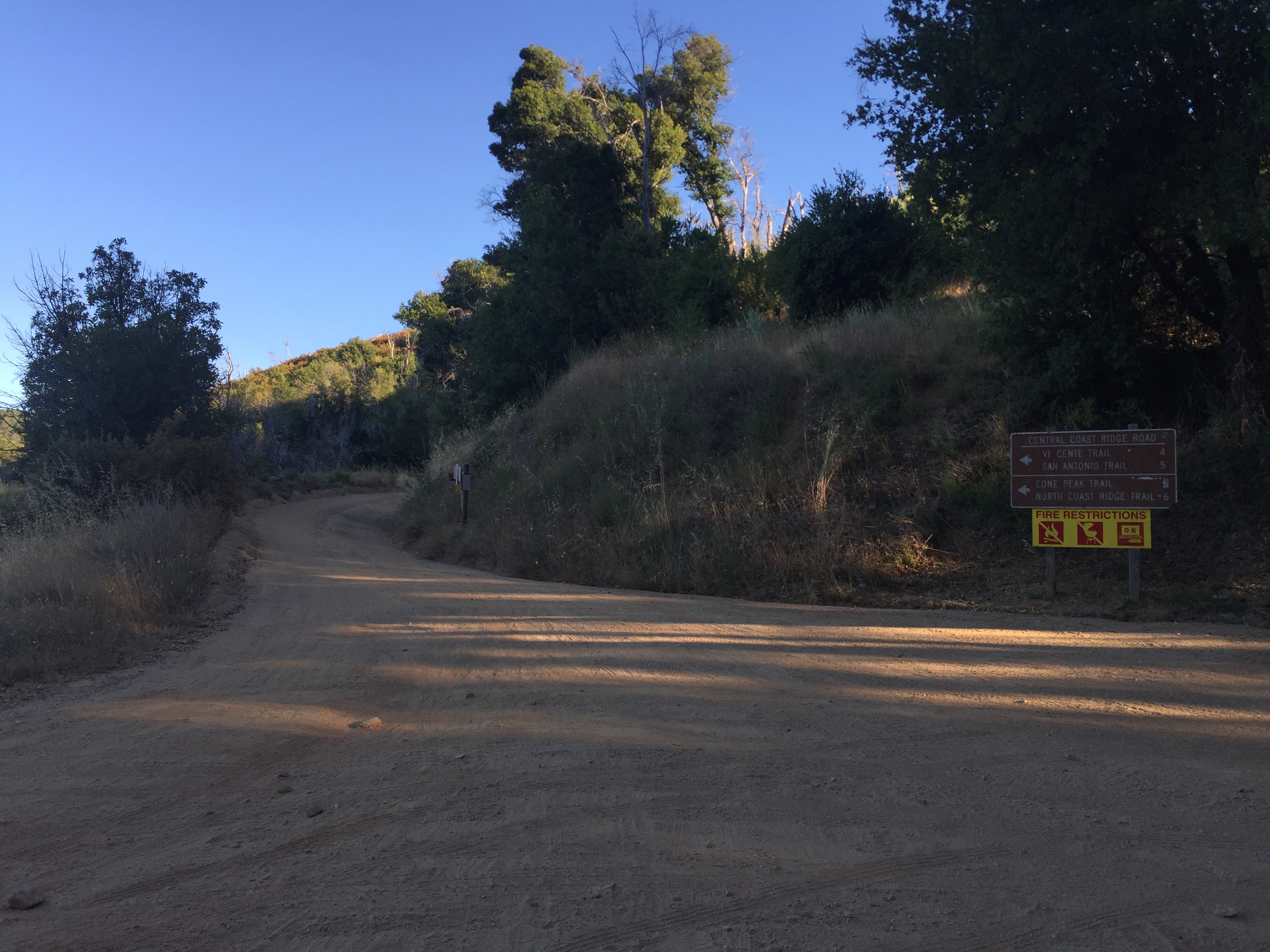
The Central Coast Ridge Road heads north off of Nacimiento Rd towards Cone Peak.  The gate closes seasonally during wet weather.  It accesses the upper trailheads of:

Vicente Flat Trail

Stone Ridge Trail

San Antonio Trail

Cone Peak Trail

North Coast Ridge Trail


Photo: Los Padres Forest Association
www.LPForest.org


Last Updated: Sunday, July 17, 2016


Join Mailing List
×
Get updates on conditions, surveys and more...


Current Weather »


L.P.N.F. Contacts »

  • Forest Headquarters
    Phone: (805) 968-6640
  • Mt. Pinos District
    Phone: (661) 245-3731
  • Ojai Ranger District
    Phone: (805) 646-4348
  • Santa Barbara District
    Phone: (805) 967-3481
  • Santa Lucia District
    Phone: (805) 925-9538
  • Monterey District
    Phone: (831) 385-5434